Sunrise Sunset Times of Fishhawk Bay Road, Fishhawk Bay Rd, Central Kootenay A, BC V0B, Canada
Location: Canada > British Columbia > Central Kootenay > Central Kootenay A > Crawford Bay >
Timezone:
America/Creston
Current Time:
2025-06-27 03:19:50
Longitude:
-116.8291373
Latitude:
49.6593824
Sunrise Today:
04:42:12 AM
Sunset Today:
08:58:56 PM
Daylength Today:
16h 16m 44s
Sunrise Tomorrow:
04:42:45 AM
Sunset Tomorrow:
08:58:48 PM
Daylength Tomorrow:
16h 16m 3s
Year Show All Dates
| Date | Sunrise | Sunset | Daylength |
|---|---|---|---|
| 01/01/2025 | 08:43:58 AM | 04:59:04 PM | 8h 15m 6s |
| 01/02/2025 | 08:43:49 AM | 05:00:08 PM | 8h 16m 19s |
| 01/03/2025 | 08:43:36 AM | 05:01:15 PM | 8h 17m 39s |
| 01/04/2025 | 08:43:21 AM | 05:02:24 PM | 8h 19m 3s |
| 01/05/2025 | 08:43:02 AM | 05:03:35 PM | 8h 20m 33s |
| 01/06/2025 | 08:42:40 AM | 05:04:48 PM | 8h 22m 8s |
| 01/07/2025 | 08:42:16 AM | 05:06:04 PM | 8h 23m 48s |
| 01/08/2025 | 08:41:48 AM | 05:07:21 PM | 8h 25m 33s |
| 01/09/2025 | 08:41:17 AM | 05:08:40 PM | 8h 27m 23s |
| 01/10/2025 | 08:40:44 AM | 05:10:01 PM | 8h 29m 17s |
| 01/11/2025 | 08:40:07 AM | 05:11:23 PM | 8h 31m 16s |
| 01/12/2025 | 08:39:28 AM | 05:12:47 PM | 8h 33m 19s |
| 01/13/2025 | 08:38:46 AM | 05:14:13 PM | 8h 35m 27s |
| 01/14/2025 | 08:38:01 AM | 05:15:40 PM | 8h 37m 39s |
| 01/15/2025 | 08:37:14 AM | 05:17:08 PM | 8h 39m 54s |
| 01/16/2025 | 08:36:23 AM | 05:18:38 PM | 8h 42m 15s |
| 01/17/2025 | 08:35:30 AM | 05:20:09 PM | 8h 44m 39s |
| 01/18/2025 | 08:34:35 AM | 05:21:41 PM | 8h 47m 6s |
| 01/19/2025 | 08:33:36 AM | 05:23:15 PM | 8h 49m 39s |
| 01/20/2025 | 08:32:36 AM | 05:24:49 PM | 8h 52m 13s |
| 01/21/2025 | 08:31:33 AM | 05:26:24 PM | 8h 54m 51s |
| 01/22/2025 | 08:30:27 AM | 05:28:00 PM | 8h 57m 33s |
| 01/23/2025 | 08:29:19 AM | 05:29:37 PM | 9h 0m 18s |
| 01/24/2025 | 08:28:09 AM | 05:31:15 PM | 9h 3m 6s |
| 01/25/2025 | 08:26:56 AM | 05:32:53 PM | 9h 5m 57s |
| 01/26/2025 | 08:25:41 AM | 05:34:32 PM | 9h 8m 51s |
| 01/27/2025 | 08:24:24 AM | 05:36:11 PM | 9h 11m 47s |
| 01/28/2025 | 08:23:05 AM | 05:37:51 PM | 9h 14m 46s |
| 01/29/2025 | 08:21:44 AM | 05:39:31 PM | 9h 17m 47s |
| 01/30/2025 | 08:20:21 AM | 05:41:12 PM | 9h 20m 51s |
| 01/31/2025 | 08:18:56 AM | 05:42:53 PM | 9h 23m 57s |
| 02/01/2025 | 08:17:29 AM | 05:44:35 PM | 9h 27m 6s |
| 02/02/2025 | 08:16:00 AM | 05:46:16 PM | 9h 30m 16s |
| 02/03/2025 | 08:14:29 AM | 05:47:58 PM | 9h 33m 29s |
| 02/04/2025 | 08:12:57 AM | 05:49:40 PM | 9h 36m 43s |
| 02/05/2025 | 08:11:22 AM | 05:51:22 PM | 9h 40m 0s |
| 02/06/2025 | 08:09:47 AM | 05:53:05 PM | 9h 43m 18s |
| 02/07/2025 | 08:08:09 AM | 05:54:47 PM | 9h 46m 38s |
| 02/08/2025 | 08:06:30 AM | 05:56:29 PM | 9h 49m 59s |
| 02/09/2025 | 08:04:49 AM | 05:58:11 PM | 9h 53m 22s |
| 02/10/2025 | 08:03:07 AM | 05:59:53 PM | 9h 56m 46s |
| 02/11/2025 | 08:01:23 AM | 06:01:36 PM | 10h 0m 13s |
| 02/12/2025 | 07:59:38 AM | 06:03:18 PM | 10h 3m 40s |
| 02/13/2025 | 07:57:52 AM | 06:04:59 PM | 10h 7m 7s |
| 02/14/2025 | 07:56:04 AM | 06:06:41 PM | 10h 10m 37s |
| 02/15/2025 | 07:54:15 AM | 06:08:23 PM | 10h 14m 8s |
| 02/16/2025 | 07:52:25 AM | 06:10:04 PM | 10h 17m 39s |
| 02/17/2025 | 07:50:34 AM | 06:11:45 PM | 10h 21m 11s |
| 02/18/2025 | 07:48:42 AM | 06:13:26 PM | 10h 24m 44s |
| 02/19/2025 | 07:46:48 AM | 06:15:07 PM | 10h 28m 19s |
| 02/20/2025 | 07:44:53 AM | 06:16:48 PM | 10h 31m 55s |
| 02/21/2025 | 07:42:58 AM | 06:18:28 PM | 10h 35m 30s |
| 02/22/2025 | 07:41:01 AM | 06:20:08 PM | 10h 39m 7s |
| 02/23/2025 | 07:39:04 AM | 06:21:48 PM | 10h 42m 44s |
| 02/24/2025 | 07:37:05 AM | 06:23:27 PM | 10h 46m 22s |
| 02/25/2025 | 07:35:06 AM | 06:25:06 PM | 10h 50m 0s |
| 02/26/2025 | 07:33:06 AM | 06:26:45 PM | 10h 53m 39s |
| 02/27/2025 | 07:31:05 AM | 06:28:24 PM | 10h 57m 19s |
| 02/28/2025 | 07:29:03 AM | 06:30:02 PM | 11h 0m 59s |
| 03/01/2025 | 07:27:01 AM | 06:31:40 PM | 11h 4m 39s |
| 03/02/2025 | 07:24:58 AM | 06:33:18 PM | 11h 8m 20s |
| 03/03/2025 | 07:22:54 AM | 06:34:56 PM | 11h 12m 2s |
| 03/04/2025 | 07:20:50 AM | 06:36:33 PM | 11h 15m 43s |
| 03/05/2025 | 07:18:45 AM | 06:38:10 PM | 11h 19m 25s |
| 03/06/2025 | 07:16:40 AM | 06:39:47 PM | 11h 23m 7s |
| 03/07/2025 | 07:14:34 AM | 06:41:23 PM | 11h 26m 49s |
| 03/08/2025 | 07:12:27 AM | 06:42:59 PM | 11h 30m 32s |
| 03/09/2025 | 07:10:21 AM | 06:44:35 PM | 11h 34m 14s |
| 03/10/2025 | 07:08:14 AM | 06:46:11 PM | 11h 37m 57s |
| 03/11/2025 | 07:06:06 AM | 06:47:46 PM | 11h 41m 40s |
| 03/12/2025 | 07:03:58 AM | 06:49:22 PM | 11h 45m 24s |
| 03/13/2025 | 07:01:50 AM | 06:50:57 PM | 11h 49m 7s |
| 03/14/2025 | 06:59:41 AM | 06:52:32 PM | 11h 52m 51s |
| 03/15/2025 | 06:57:33 AM | 06:54:06 PM | 11h 56m 33s |
| 03/16/2025 | 06:55:24 AM | 06:55:41 PM | 12h 0m 17s |
| 03/17/2025 | 06:53:14 AM | 06:57:15 PM | 12h 4m 1s |
| 03/18/2025 | 06:51:05 AM | 06:58:49 PM | 12h 7m 44s |
| 03/19/2025 | 06:48:56 AM | 07:00:23 PM | 12h 11m 27s |
| 03/20/2025 | 06:46:46 AM | 07:01:57 PM | 12h 15m 11s |
| 03/21/2025 | 06:44:37 AM | 07:03:31 PM | 12h 18m 54s |
| 03/22/2025 | 06:42:27 AM | 07:05:04 PM | 12h 22m 37s |
| 03/23/2025 | 06:40:18 AM | 07:06:38 PM | 12h 26m 20s |
| 03/24/2025 | 06:38:08 AM | 07:08:11 PM | 12h 30m 3s |
| 03/25/2025 | 06:35:59 AM | 07:09:44 PM | 12h 33m 45s |
| 03/26/2025 | 06:33:49 AM | 07:11:18 PM | 12h 37m 29s |
| 03/27/2025 | 06:31:40 AM | 07:12:51 PM | 12h 41m 11s |
| 03/28/2025 | 06:29:31 AM | 07:14:24 PM | 12h 44m 53s |
| 03/29/2025 | 06:27:22 AM | 07:15:57 PM | 12h 48m 35s |
| 03/30/2025 | 06:25:13 AM | 07:17:29 PM | 12h 52m 16s |
| 03/31/2025 | 06:23:05 AM | 07:19:02 PM | 12h 55m 57s |
| 04/01/2025 | 06:20:57 AM | 07:20:35 PM | 12h 59m 38s |
| 04/02/2025 | 06:18:49 AM | 07:22:08 PM | 13h 3m 19s |
| 04/03/2025 | 06:16:41 AM | 07:23:41 PM | 13h 7m 0s |
| 04/04/2025 | 06:14:34 AM | 07:25:13 PM | 13h 10m 39s |
| 04/05/2025 | 06:12:28 AM | 07:26:46 PM | 13h 14m 18s |
| 04/06/2025 | 06:10:21 AM | 07:28:19 PM | 13h 17m 58s |
| 04/07/2025 | 06:08:16 AM | 07:29:51 PM | 13h 21m 35s |
| 04/08/2025 | 06:06:10 AM | 07:31:24 PM | 13h 25m 14s |
| 04/09/2025 | 06:04:06 AM | 07:32:57 PM | 13h 28m 51s |
| 04/10/2025 | 06:02:02 AM | 07:34:29 PM | 13h 32m 27s |
| 04/11/2025 | 05:59:58 AM | 07:36:02 PM | 13h 36m 4s |
| 04/12/2025 | 05:57:55 AM | 07:37:34 PM | 13h 39m 39s |
| 04/13/2025 | 05:55:53 AM | 07:39:07 PM | 13h 43m 14s |
| 04/14/2025 | 05:53:51 AM | 07:40:39 PM | 13h 46m 48s |
| 04/15/2025 | 05:51:51 AM | 07:42:12 PM | 13h 50m 21s |
| 04/16/2025 | 05:49:51 AM | 07:43:45 PM | 13h 53m 54s |
| 04/17/2025 | 05:47:52 AM | 07:45:17 PM | 13h 57m 25s |
| 04/18/2025 | 05:45:53 AM | 07:46:49 PM | 14h 0m 56s |
| 04/19/2025 | 05:43:56 AM | 07:48:22 PM | 14h 4m 26s |
| 04/20/2025 | 05:41:59 AM | 07:49:54 PM | 14h 7m 55s |
| 04/21/2025 | 05:40:04 AM | 07:51:26 PM | 14h 11m 22s |
| 04/22/2025 | 05:38:09 AM | 07:52:59 PM | 14h 14m 50s |
| 04/23/2025 | 05:36:16 AM | 07:54:31 PM | 14h 18m 15s |
| 04/24/2025 | 05:34:24 AM | 07:56:02 PM | 14h 21m 38s |
| 04/25/2025 | 05:32:32 AM | 07:57:34 PM | 14h 25m 2s |
| 04/26/2025 | 05:30:42 AM | 07:59:06 PM | 14h 28m 24s |
| 04/27/2025 | 05:28:53 AM | 08:00:37 PM | 14h 31m 44s |
| 04/28/2025 | 05:27:06 AM | 08:02:08 PM | 14h 35m 2s |
| 04/29/2025 | 05:25:19 AM | 08:03:39 PM | 14h 38m 20s |
| 04/30/2025 | 05:23:34 AM | 08:05:10 PM | 14h 41m 36s |
| 05/01/2025 | 05:21:51 AM | 08:06:41 PM | 14h 44m 50s |
| 05/02/2025 | 05:20:08 AM | 08:08:11 PM | 14h 48m 3s |
| 05/03/2025 | 05:18:28 AM | 08:09:40 PM | 14h 51m 12s |
| 05/04/2025 | 05:16:48 AM | 08:11:10 PM | 14h 54m 22s |
| 05/05/2025 | 05:15:11 AM | 08:12:39 PM | 14h 57m 28s |
| 05/06/2025 | 05:13:34 AM | 08:14:07 PM | 15h 0m 33s |
| 05/07/2025 | 05:12:00 AM | 08:15:35 PM | 15h 3m 35s |
| 05/08/2025 | 05:10:27 AM | 08:17:03 PM | 15h 6m 36s |
| 05/09/2025 | 05:08:56 AM | 08:18:30 PM | 15h 9m 34s |
| 05/10/2025 | 05:07:26 AM | 08:19:56 PM | 15h 12m 30s |
| 05/11/2025 | 05:05:59 AM | 08:21:22 PM | 15h 15m 23s |
| 05/12/2025 | 05:04:33 AM | 08:22:47 PM | 15h 18m 14s |
| 05/13/2025 | 05:03:09 AM | 08:24:11 PM | 15h 21m 2s |
| 05/14/2025 | 05:01:47 AM | 08:25:34 PM | 15h 23m 47s |
| 05/15/2025 | 05:00:27 AM | 08:26:57 PM | 15h 26m 30s |
| 05/16/2025 | 04:59:10 AM | 08:28:18 PM | 15h 29m 8s |
| 05/17/2025 | 04:57:54 AM | 08:29:39 PM | 15h 31m 45s |
| 05/18/2025 | 04:56:40 AM | 08:30:58 PM | 15h 34m 18s |
| 05/19/2025 | 04:55:29 AM | 08:32:17 PM | 15h 36m 48s |
| 05/20/2025 | 04:54:19 AM | 08:33:34 PM | 15h 39m 15s |
| 05/21/2025 | 04:53:12 AM | 08:34:51 PM | 15h 41m 39s |
| 05/22/2025 | 04:52:08 AM | 08:36:05 PM | 15h 43m 57s |
| 05/23/2025 | 04:51:05 AM | 08:37:19 PM | 15h 46m 14s |
| 05/24/2025 | 04:50:05 AM | 08:38:31 PM | 15h 48m 26s |
| 05/25/2025 | 04:49:07 AM | 08:39:42 PM | 15h 50m 35s |
| 05/26/2025 | 04:48:12 AM | 08:40:51 PM | 15h 52m 39s |
| 05/27/2025 | 04:47:20 AM | 08:41:59 PM | 15h 54m 39s |
| 05/28/2025 | 04:46:29 AM | 08:43:05 PM | 15h 56m 36s |
| 05/29/2025 | 04:45:42 AM | 08:44:10 PM | 15h 58m 28s |
| 05/30/2025 | 04:44:57 AM | 08:45:12 PM | 16h 0m 15s |
| 05/31/2025 | 04:44:14 AM | 08:46:13 PM | 16h 1m 59s |
| 06/01/2025 | 04:43:35 AM | 08:47:12 PM | 16h 3m 37s |
| 06/02/2025 | 04:42:58 AM | 08:48:09 PM | 16h 5m 11s |
| 06/03/2025 | 04:42:23 AM | 08:49:04 PM | 16h 6m 41s |
| 06/04/2025 | 04:41:52 AM | 08:49:57 PM | 16h 8m 5s |
| 06/05/2025 | 04:41:23 AM | 08:50:48 PM | 16h 9m 25s |
| 06/06/2025 | 04:40:57 AM | 08:51:36 PM | 16h 10m 39s |
| 06/07/2025 | 04:40:33 AM | 08:52:23 PM | 16h 11m 50s |
| 06/08/2025 | 04:40:13 AM | 08:53:07 PM | 16h 12m 54s |
| 06/09/2025 | 04:39:55 AM | 08:53:48 PM | 16h 13m 53s |
| 06/10/2025 | 04:39:40 AM | 08:54:28 PM | 16h 14m 48s |
| 06/11/2025 | 04:39:28 AM | 08:55:04 PM | 16h 15m 36s |
| 06/12/2025 | 04:39:19 AM | 08:55:39 PM | 16h 16m 20s |
| 06/13/2025 | 04:39:13 AM | 08:56:11 PM | 16h 16m 58s |
| 06/14/2025 | 04:39:09 AM | 08:56:40 PM | 16h 17m 31s |
| 06/15/2025 | 04:39:08 AM | 08:57:07 PM | 16h 17m 59s |
| 06/16/2025 | 04:39:10 AM | 08:57:31 PM | 16h 18m 21s |
| 06/17/2025 | 04:39:15 AM | 08:57:52 PM | 16h 18m 37s |
| 06/18/2025 | 04:39:23 AM | 08:58:10 PM | 16h 18m 47s |
| 06/19/2025 | 04:39:33 AM | 08:58:26 PM | 16h 18m 53s |
| 06/20/2025 | 04:39:46 AM | 08:58:39 PM | 16h 18m 53s |
| 06/21/2025 | 04:40:02 AM | 08:58:49 PM | 16h 18m 47s |
| 06/22/2025 | 04:40:21 AM | 08:58:57 PM | 16h 18m 36s |
| 06/23/2025 | 04:40:42 AM | 08:59:01 PM | 16h 18m 19s |
| 06/24/2025 | 04:41:06 AM | 08:59:03 PM | 16h 17m 57s |
| 06/25/2025 | 04:41:32 AM | 08:59:02 PM | 16h 17m 30s |
| 06/26/2025 | 04:42:01 AM | 08:58:58 PM | 16h 16m 57s |
| 06/27/2025 | 04:42:32 AM | 08:58:51 PM | 16h 16m 19s |
| 06/28/2025 | 04:43:06 AM | 08:58:41 PM | 16h 15m 35s |
| 06/29/2025 | 04:43:42 AM | 08:58:29 PM | 16h 14m 47s |
| 06/30/2025 | 04:44:21 AM | 08:58:13 PM | 16h 13m 52s |
| 07/01/2025 | 04:45:02 AM | 08:57:55 PM | 16h 12m 53s |
| 07/02/2025 | 04:45:45 AM | 08:57:33 PM | 16h 11m 48s |
| 07/03/2025 | 04:46:31 AM | 08:57:09 PM | 16h 10m 38s |
| 07/04/2025 | 04:47:18 AM | 08:56:43 PM | 16h 9m 25s |
| 07/05/2025 | 04:48:08 AM | 08:56:13 PM | 16h 8m 5s |
| 07/06/2025 | 04:49:00 AM | 08:55:40 PM | 16h 6m 40s |
| 07/07/2025 | 04:49:53 AM | 08:55:05 PM | 16h 5m 12s |
| 07/08/2025 | 04:50:49 AM | 08:54:27 PM | 16h 3m 38s |
| 07/09/2025 | 04:51:46 AM | 08:53:47 PM | 16h 2m 1s |
| 07/10/2025 | 04:52:46 AM | 08:53:03 PM | 16h 0m 17s |
| 07/11/2025 | 04:53:47 AM | 08:52:17 PM | 15h 58m 30s |
| 07/12/2025 | 04:54:49 AM | 08:51:29 PM | 15h 56m 40s |
| 07/13/2025 | 04:55:54 AM | 08:50:38 PM | 15h 54m 44s |
| 07/14/2025 | 04:56:59 AM | 08:49:44 PM | 15h 52m 45s |
| 07/15/2025 | 04:58:07 AM | 08:48:48 PM | 15h 50m 41s |
| 07/16/2025 | 04:59:15 AM | 08:47:49 PM | 15h 48m 34s |
| 07/17/2025 | 05:00:25 AM | 08:46:48 PM | 15h 46m 23s |
| 07/18/2025 | 05:01:37 AM | 08:45:44 PM | 15h 44m 7s |
| 07/19/2025 | 05:02:49 AM | 08:44:39 PM | 15h 41m 50s |
| 07/20/2025 | 05:04:03 AM | 08:43:31 PM | 15h 39m 28s |
| 07/21/2025 | 05:05:18 AM | 08:42:20 PM | 15h 37m 2s |
| 07/22/2025 | 05:06:34 AM | 08:41:08 PM | 15h 34m 34s |
| 07/23/2025 | 05:07:51 AM | 08:39:53 PM | 15h 32m 2s |
| 07/24/2025 | 05:09:09 AM | 08:38:36 PM | 15h 29m 27s |
| 07/25/2025 | 05:10:27 AM | 08:37:17 PM | 15h 26m 50s |
| 07/26/2025 | 05:11:47 AM | 08:35:56 PM | 15h 24m 9s |
| 07/27/2025 | 05:13:07 AM | 08:34:33 PM | 15h 21m 26s |
| 07/28/2025 | 05:14:28 AM | 08:33:08 PM | 15h 18m 40s |
| 07/29/2025 | 05:15:50 AM | 08:31:41 PM | 15h 15m 51s |
| 07/30/2025 | 05:17:13 AM | 08:30:12 PM | 15h 12m 59s |
| 07/31/2025 | 05:18:36 AM | 08:28:42 PM | 15h 10m 6s |
| 08/01/2025 | 05:19:59 AM | 08:27:10 PM | 15h 7m 11s |
| 08/02/2025 | 05:21:23 AM | 08:25:36 PM | 15h 4m 13s |
| 08/03/2025 | 05:22:48 AM | 08:24:00 PM | 15h 1m 12s |
| 08/04/2025 | 05:24:13 AM | 08:22:23 PM | 14h 58m 10s |
| 08/05/2025 | 05:25:38 AM | 08:20:44 PM | 14h 55m 6s |
| 08/06/2025 | 05:27:04 AM | 08:19:03 PM | 14h 51m 59s |
| 08/07/2025 | 05:28:30 AM | 08:17:21 PM | 14h 48m 51s |
| 08/08/2025 | 05:29:56 AM | 08:15:38 PM | 14h 45m 42s |
| 08/09/2025 | 05:31:23 AM | 08:13:53 PM | 14h 42m 30s |
| 08/10/2025 | 05:32:50 AM | 08:12:07 PM | 14h 39m 17s |
| 08/11/2025 | 05:34:17 AM | 08:10:19 PM | 14h 36m 2s |
| 08/12/2025 | 05:35:44 AM | 08:08:31 PM | 14h 32m 47s |
| 08/13/2025 | 05:37:11 AM | 08:06:41 PM | 14h 29m 30s |
| 08/14/2025 | 05:38:39 AM | 08:04:49 PM | 14h 26m 10s |
| 08/15/2025 | 05:40:06 AM | 08:02:57 PM | 14h 22m 51s |
| 08/16/2025 | 05:41:34 AM | 08:01:03 PM | 14h 19m 29s |
| 08/17/2025 | 05:43:02 AM | 07:59:09 PM | 14h 16m 7s |
| 08/18/2025 | 05:44:30 AM | 07:57:13 PM | 14h 12m 43s |
| 08/19/2025 | 05:45:58 AM | 07:55:16 PM | 14h 9m 18s |
| 08/20/2025 | 05:47:26 AM | 07:53:19 PM | 14h 5m 53s |
| 08/21/2025 | 05:48:54 AM | 07:51:20 PM | 14h 2m 26s |
| 08/22/2025 | 05:50:22 AM | 07:49:21 PM | 13h 58m 59s |
| 08/23/2025 | 05:51:50 AM | 07:47:20 PM | 13h 55m 30s |
| 08/24/2025 | 05:53:18 AM | 07:45:19 PM | 13h 52m 1s |
| 08/25/2025 | 05:54:46 AM | 07:43:17 PM | 13h 48m 31s |
| 08/26/2025 | 05:56:14 AM | 07:41:14 PM | 13h 45m 0s |
| 08/27/2025 | 05:57:42 AM | 07:39:11 PM | 13h 41m 29s |
| 08/28/2025 | 05:59:10 AM | 07:37:07 PM | 13h 37m 57s |
| 08/29/2025 | 06:00:38 AM | 07:35:02 PM | 13h 34m 24s |
| 08/30/2025 | 06:02:05 AM | 07:32:56 PM | 13h 30m 51s |
| 08/31/2025 | 06:03:33 AM | 07:30:50 PM | 13h 27m 17s |
| 09/01/2025 | 06:05:01 AM | 07:28:44 PM | 13h 23m 43s |
| 09/02/2025 | 06:06:29 AM | 07:26:37 PM | 13h 20m 8s |
| 09/03/2025 | 06:07:57 AM | 07:24:29 PM | 13h 16m 32s |
| 09/04/2025 | 06:09:25 AM | 07:22:21 PM | 13h 12m 56s |
| 09/05/2025 | 06:10:52 AM | 07:20:13 PM | 13h 9m 21s |
| 09/06/2025 | 06:12:20 AM | 07:18:04 PM | 13h 5m 44s |
| 09/07/2025 | 06:13:48 AM | 07:15:55 PM | 13h 2m 7s |
| 09/08/2025 | 06:15:16 AM | 07:13:45 PM | 12h 58m 29s |
| 09/09/2025 | 06:16:44 AM | 07:11:35 PM | 12h 54m 51s |
| 09/10/2025 | 06:18:12 AM | 07:09:25 PM | 12h 51m 13s |
| 09/11/2025 | 06:19:40 AM | 07:07:15 PM | 12h 47m 35s |
| 09/12/2025 | 06:21:08 AM | 07:05:04 PM | 12h 43m 56s |
| 09/13/2025 | 06:22:36 AM | 07:02:53 PM | 12h 40m 17s |
| 09/14/2025 | 06:24:04 AM | 07:00:42 PM | 12h 36m 38s |
| 09/15/2025 | 06:25:32 AM | 06:58:31 PM | 12h 32m 59s |
| 09/16/2025 | 06:27:00 AM | 06:56:20 PM | 12h 29m 20s |
| 09/17/2025 | 06:28:28 AM | 06:54:09 PM | 12h 25m 41s |
| 09/18/2025 | 06:29:57 AM | 06:51:58 PM | 12h 22m 1s |
| 09/19/2025 | 06:31:25 AM | 06:49:47 PM | 12h 18m 22s |
| 09/20/2025 | 06:32:54 AM | 06:47:35 PM | 12h 14m 41s |
| 09/21/2025 | 06:34:23 AM | 06:45:24 PM | 12h 11m 1s |
| 09/22/2025 | 06:35:52 AM | 06:43:13 PM | 12h 7m 21s |
| 09/23/2025 | 06:37:21 AM | 06:41:02 PM | 12h 3m 41s |
| 09/24/2025 | 06:38:50 AM | 06:38:52 PM | 12h 0m 2s |
| 09/25/2025 | 06:40:19 AM | 06:36:41 PM | 11h 56m 22s |
| 09/26/2025 | 06:41:49 AM | 06:34:31 PM | 11h 52m 42s |
| 09/27/2025 | 06:43:19 AM | 06:32:21 PM | 11h 49m 2s |
| 09/28/2025 | 06:44:49 AM | 06:30:11 PM | 11h 45m 22s |
| 09/29/2025 | 06:46:19 AM | 06:28:01 PM | 11h 41m 42s |
| 09/30/2025 | 06:47:50 AM | 06:25:52 PM | 11h 38m 2s |
| 10/01/2025 | 06:49:20 AM | 06:23:43 PM | 11h 34m 23s |
| 10/02/2025 | 06:50:51 AM | 06:21:35 PM | 11h 30m 44s |
| 10/03/2025 | 06:52:22 AM | 06:19:26 PM | 11h 27m 4s |
| 10/04/2025 | 06:53:54 AM | 06:17:19 PM | 11h 23m 25s |
| 10/05/2025 | 06:55:26 AM | 06:15:12 PM | 11h 19m 46s |
| 10/06/2025 | 06:56:58 AM | 06:13:05 PM | 11h 16m 7s |
| 10/07/2025 | 06:58:30 AM | 06:10:59 PM | 11h 12m 29s |
| 10/08/2025 | 07:00:02 AM | 06:08:54 PM | 11h 8m 52s |
| 10/09/2025 | 07:01:35 AM | 06:06:49 PM | 11h 5m 14s |
| 10/10/2025 | 07:03:09 AM | 06:04:45 PM | 11h 1m 36s |
| 10/11/2025 | 07:04:42 AM | 06:02:42 PM | 10h 58m 0s |
| 10/12/2025 | 07:06:16 AM | 06:00:39 PM | 10h 54m 23s |
| 10/13/2025 | 07:07:50 AM | 05:58:37 PM | 10h 50m 47s |
| 10/14/2025 | 07:09:24 AM | 05:56:36 PM | 10h 47m 12s |
| 10/15/2025 | 07:10:59 AM | 05:54:35 PM | 10h 43m 36s |
| 10/16/2025 | 07:12:34 AM | 05:52:36 PM | 10h 40m 2s |
| 10/17/2025 | 07:14:09 AM | 05:50:38 PM | 10h 36m 29s |
| 10/18/2025 | 07:15:45 AM | 05:48:40 PM | 10h 32m 55s |
| 10/19/2025 | 07:17:21 AM | 05:46:43 PM | 10h 29m 22s |
| 10/20/2025 | 07:18:57 AM | 05:44:48 PM | 10h 25m 51s |
| 10/21/2025 | 07:20:33 AM | 05:42:53 PM | 10h 22m 20s |
| 10/22/2025 | 07:22:10 AM | 05:41:00 PM | 10h 18m 50s |
| 10/23/2025 | 07:23:47 AM | 05:39:08 PM | 10h 15m 21s |
| 10/24/2025 | 07:25:24 AM | 05:37:17 PM | 10h 11m 53s |
| 10/25/2025 | 07:27:01 AM | 05:35:27 PM | 10h 8m 26s |
| 10/26/2025 | 07:28:39 AM | 05:33:39 PM | 10h 5m 0s |
| 10/27/2025 | 07:30:16 AM | 05:31:51 PM | 10h 1m 35s |
| 10/28/2025 | 07:31:54 AM | 05:30:06 PM | 9h 58m 12s |
| 10/29/2025 | 07:33:32 AM | 05:28:21 PM | 9h 54m 49s |
| 10/30/2025 | 07:35:11 AM | 05:26:38 PM | 9h 51m 27s |
| 10/31/2025 | 07:36:49 AM | 05:24:57 PM | 9h 48m 8s |
| 11/01/2025 | 07:38:27 AM | 05:23:17 PM | 9h 44m 50s |
| 11/02/2025 | 07:40:05 AM | 05:21:39 PM | 9h 41m 34s |
| 11/03/2025 | 07:41:44 AM | 05:20:02 PM | 9h 38m 18s |
| 11/04/2025 | 07:43:22 AM | 05:18:27 PM | 9h 35m 5s |
| 11/05/2025 | 07:45:00 AM | 05:16:54 PM | 9h 31m 54s |
| 11/06/2025 | 07:46:38 AM | 05:15:22 PM | 9h 28m 44s |
| 11/07/2025 | 07:48:16 AM | 05:13:53 PM | 9h 25m 37s |
| 11/08/2025 | 07:49:54 AM | 05:12:25 PM | 9h 22m 31s |
| 11/09/2025 | 07:51:32 AM | 05:10:59 PM | 9h 19m 27s |
| 11/10/2025 | 07:53:09 AM | 05:09:35 PM | 9h 16m 26s |
| 11/11/2025 | 07:54:46 AM | 05:08:14 PM | 9h 13m 28s |
| 11/12/2025 | 07:56:22 AM | 05:06:54 PM | 9h 10m 32s |
| 11/13/2025 | 07:57:58 AM | 05:05:36 PM | 9h 7m 38s |
| 11/14/2025 | 07:59:34 AM | 05:04:21 PM | 9h 4m 47s |
| 11/15/2025 | 08:01:09 AM | 05:03:08 PM | 9h 1m 59s |
| 11/16/2025 | 08:02:43 AM | 05:01:57 PM | 8h 59m 14s |
| 11/17/2025 | 08:04:17 AM | 05:00:49 PM | 8h 56m 32s |
| 11/18/2025 | 08:05:50 AM | 04:59:43 PM | 8h 53m 53s |
| 11/19/2025 | 08:07:22 AM | 04:58:39 PM | 8h 51m 17s |
| 11/20/2025 | 08:08:53 AM | 04:57:38 PM | 8h 48m 45s |
| 11/21/2025 | 08:10:24 AM | 04:56:39 PM | 8h 46m 15s |
| 11/22/2025 | 08:11:53 AM | 04:55:43 PM | 8h 43m 50s |
| 11/23/2025 | 08:13:21 AM | 04:54:50 PM | 8h 41m 29s |
| 11/24/2025 | 08:14:49 AM | 04:53:59 PM | 8h 39m 10s |
| 11/25/2025 | 08:16:14 AM | 04:53:11 PM | 8h 36m 57s |
| 11/26/2025 | 08:17:39 AM | 04:52:26 PM | 8h 34m 47s |
| 11/27/2025 | 08:19:02 AM | 04:51:43 PM | 8h 32m 41s |
| 11/28/2025 | 08:20:24 AM | 04:51:03 PM | 8h 30m 39s |
| 11/29/2025 | 08:21:44 AM | 04:50:27 PM | 8h 28m 43s |
| 11/30/2025 | 08:23:03 AM | 04:49:53 PM | 8h 26m 50s |
| 12/01/2025 | 08:24:20 AM | 04:49:22 PM | 8h 25m 2s |
| 12/02/2025 | 08:25:35 AM | 04:48:54 PM | 8h 23m 19s |
| 12/03/2025 | 08:26:48 AM | 04:48:30 PM | 8h 21m 42s |
| 12/04/2025 | 08:27:59 AM | 04:48:08 PM | 8h 20m 9s |
| 12/05/2025 | 08:29:09 AM | 04:47:49 PM | 8h 18m 40s |
| 12/06/2025 | 08:30:16 AM | 04:47:33 PM | 8h 17m 17s |
| 12/07/2025 | 08:31:21 AM | 04:47:21 PM | 8h 16m 0s |
| 12/08/2025 | 08:32:24 AM | 04:47:12 PM | 8h 14m 48s |
| 12/09/2025 | 08:33:24 AM | 04:47:05 PM | 8h 13m 41s |
| 12/10/2025 | 08:34:23 AM | 04:47:02 PM | 8h 12m 39s |
| 12/11/2025 | 08:35:18 AM | 04:47:03 PM | 8h 11m 45s |
| 12/12/2025 | 08:36:12 AM | 04:47:06 PM | 8h 10m 54s |
| 12/13/2025 | 08:37:02 AM | 04:47:12 PM | 8h 10m 10s |
| 12/14/2025 | 08:37:50 AM | 04:47:22 PM | 8h 9m 32s |
| 12/15/2025 | 08:38:36 AM | 04:47:35 PM | 8h 8m 59s |
| 12/16/2025 | 08:39:19 AM | 04:47:51 PM | 8h 8m 32s |
| 12/17/2025 | 08:39:58 AM | 04:48:10 PM | 8h 8m 12s |
| 12/18/2025 | 08:40:36 AM | 04:48:32 PM | 8h 7m 56s |
| 12/19/2025 | 08:41:10 AM | 04:48:57 PM | 8h 7m 47s |
| 12/20/2025 | 08:41:41 AM | 04:49:25 PM | 8h 7m 44s |
| 12/21/2025 | 08:42:09 AM | 04:49:57 PM | 8h 7m 48s |
| 12/22/2025 | 08:42:35 AM | 04:50:31 PM | 8h 7m 56s |
| 12/23/2025 | 08:42:57 AM | 04:51:08 PM | 8h 8m 11s |
| 12/24/2025 | 08:43:16 AM | 04:51:48 PM | 8h 8m 32s |
| 12/25/2025 | 08:43:33 AM | 04:52:32 PM | 8h 8m 59s |
| 12/26/2025 | 08:43:46 AM | 04:53:17 PM | 8h 9m 31s |
| 12/27/2025 | 08:43:56 AM | 04:54:06 PM | 8h 10m 10s |
| 12/28/2025 | 08:44:03 AM | 04:54:57 PM | 8h 10m 54s |
| 12/29/2025 | 08:44:07 AM | 04:55:51 PM | 8h 11m 44s |
| 12/30/2025 | 08:44:07 AM | 04:56:48 PM | 8h 12m 41s |
| 12/31/2025 | 08:44:05 AM | 04:57:47 PM | 8h 13m 42s |
Sunrise & Sunset Photos
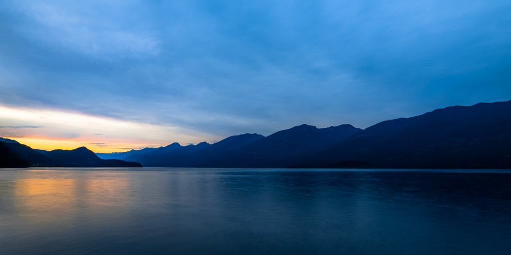
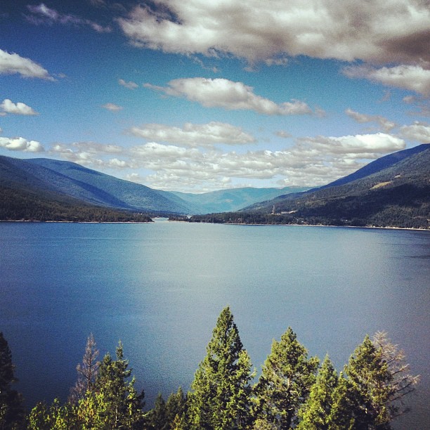
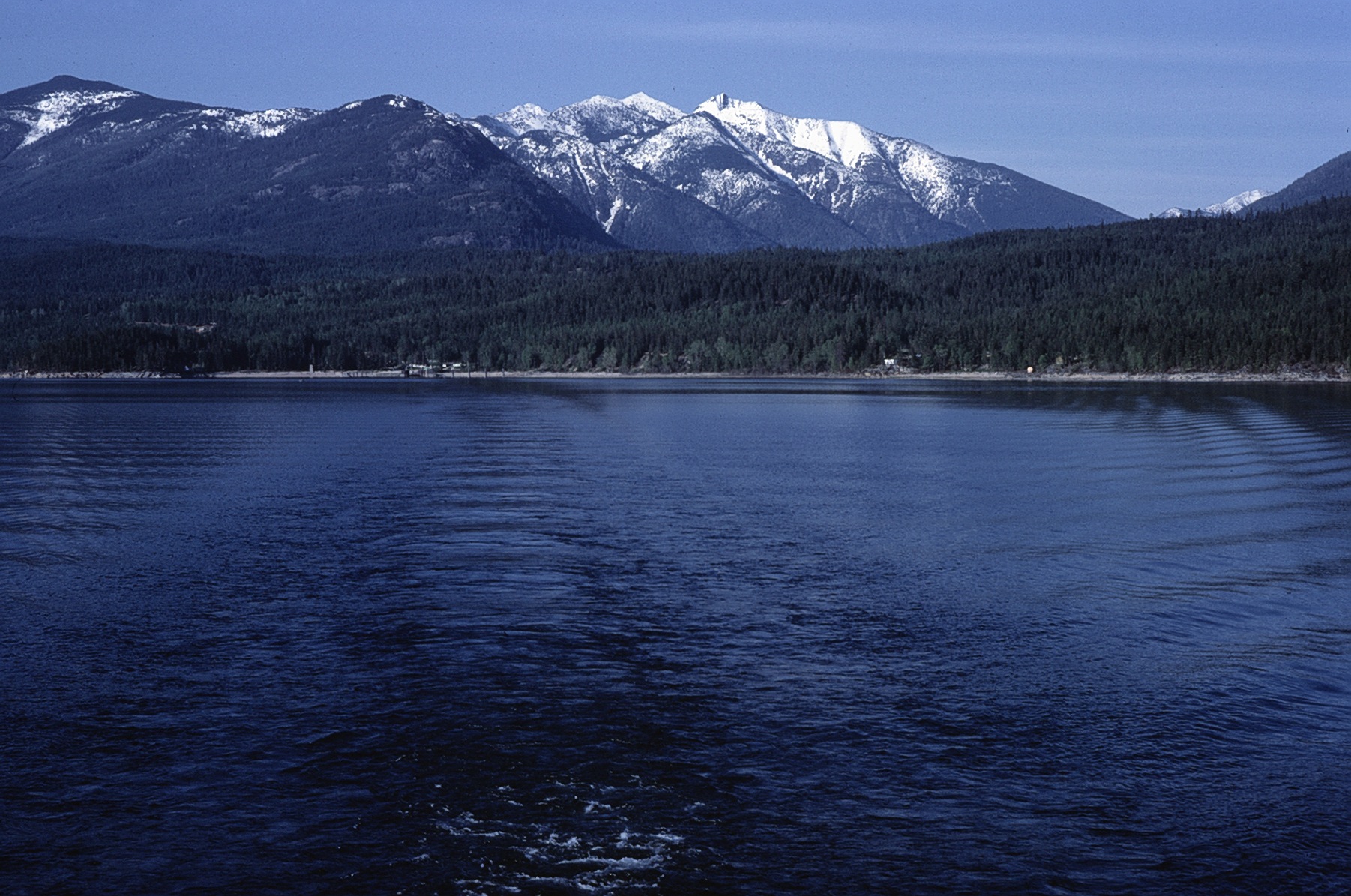
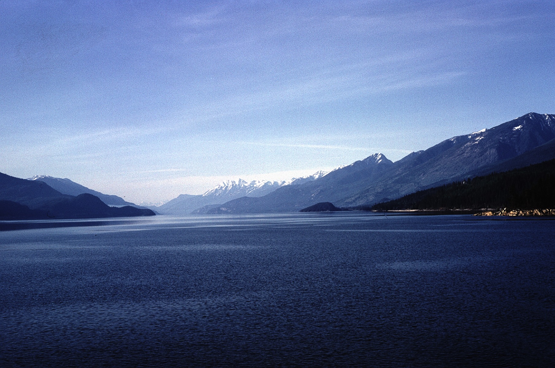
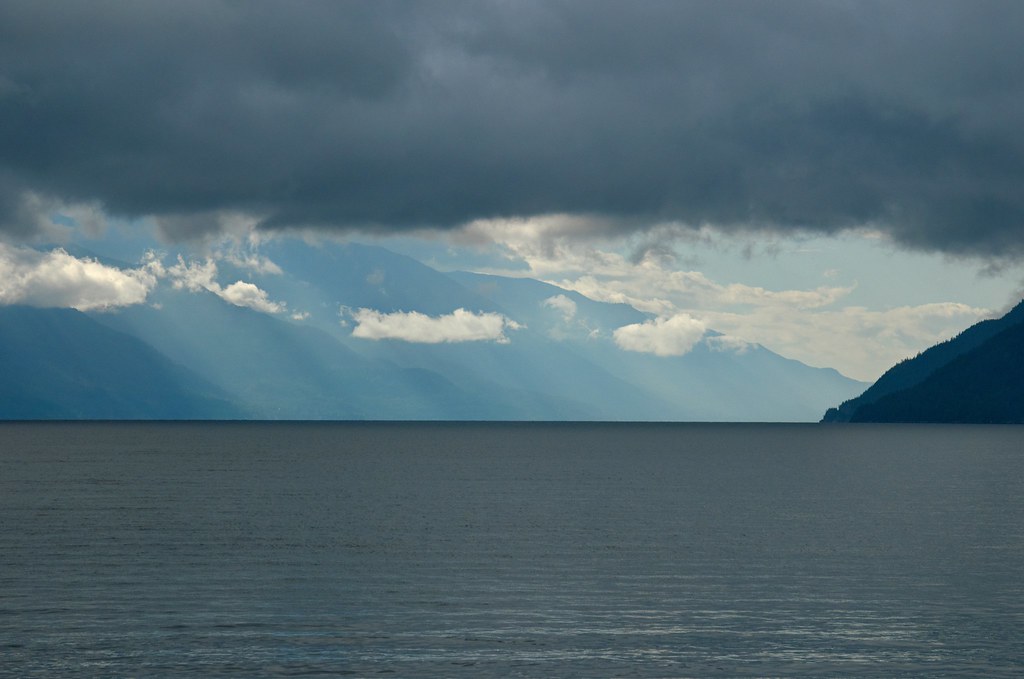
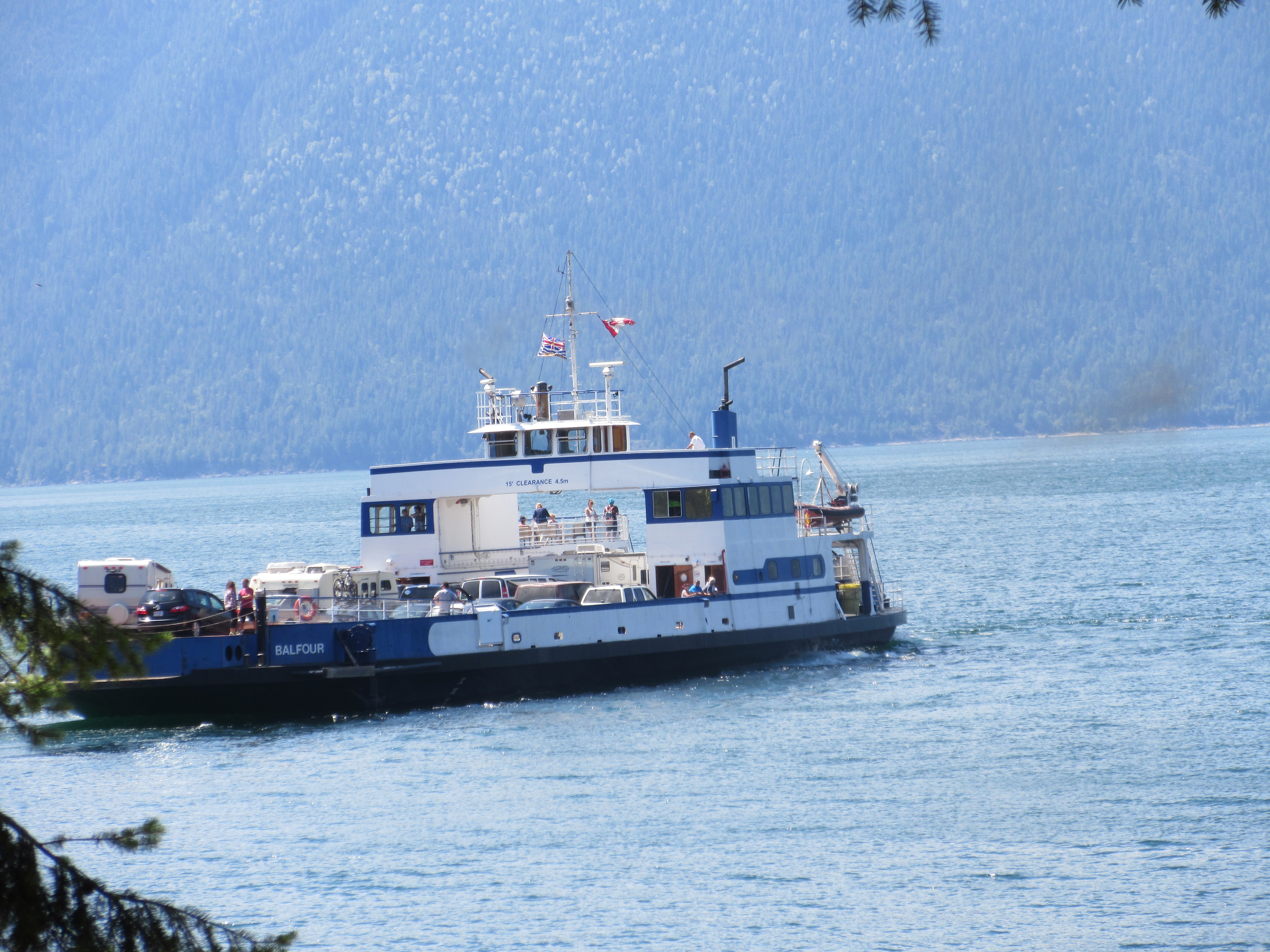
Kootenay Lake

19990714-005
Abend am Kootenay Lake
View from the top of pilot bay light house. A small detour down a lovely windy road From the ferry terminal
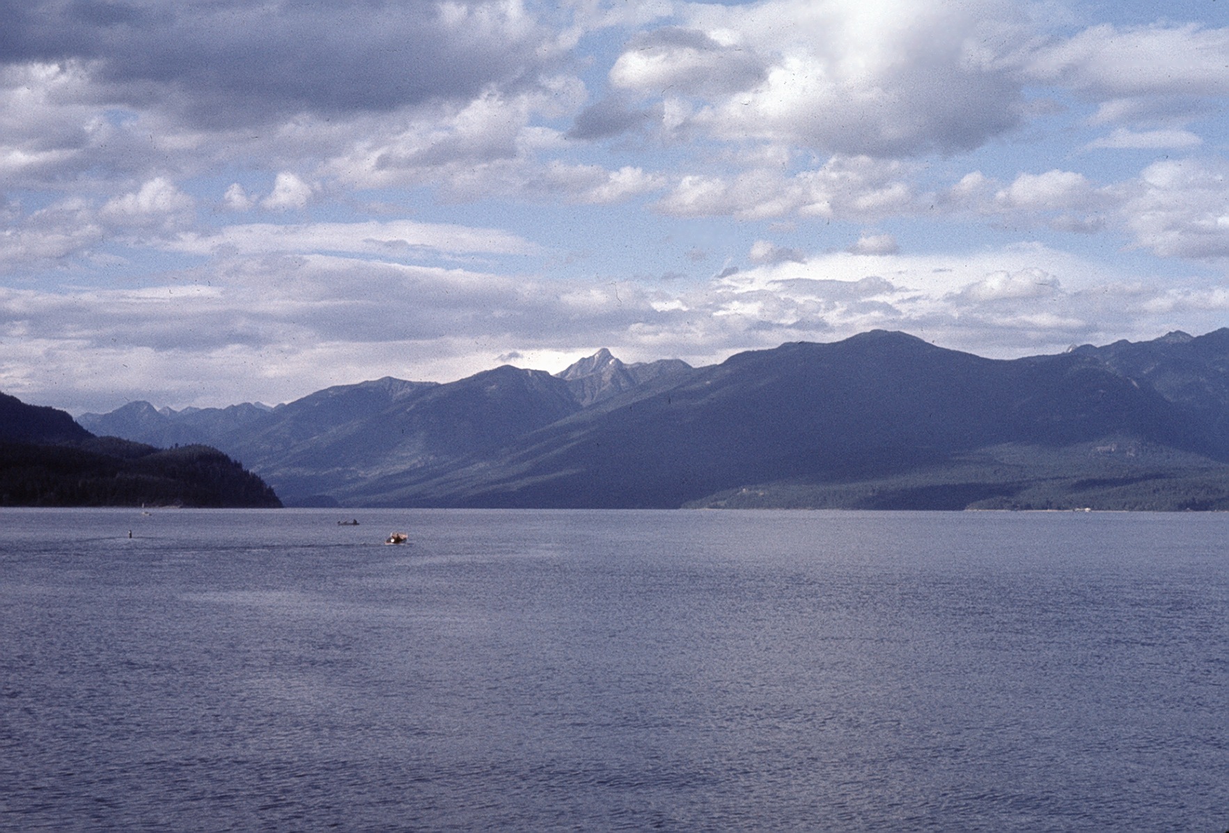
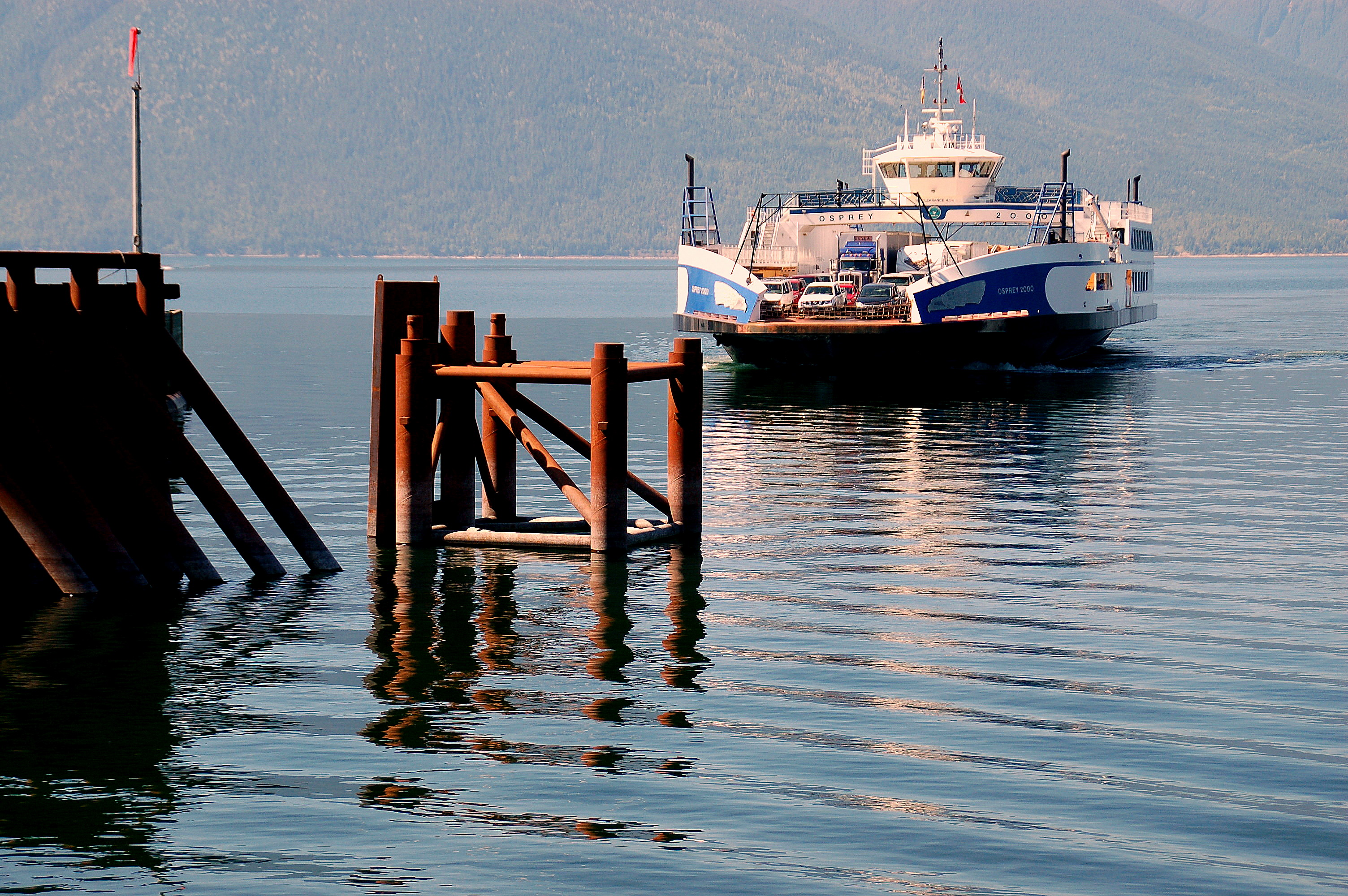
East from Kootenay Lake Ferry
North from Kootenay Lake Ferry
North from West Arm
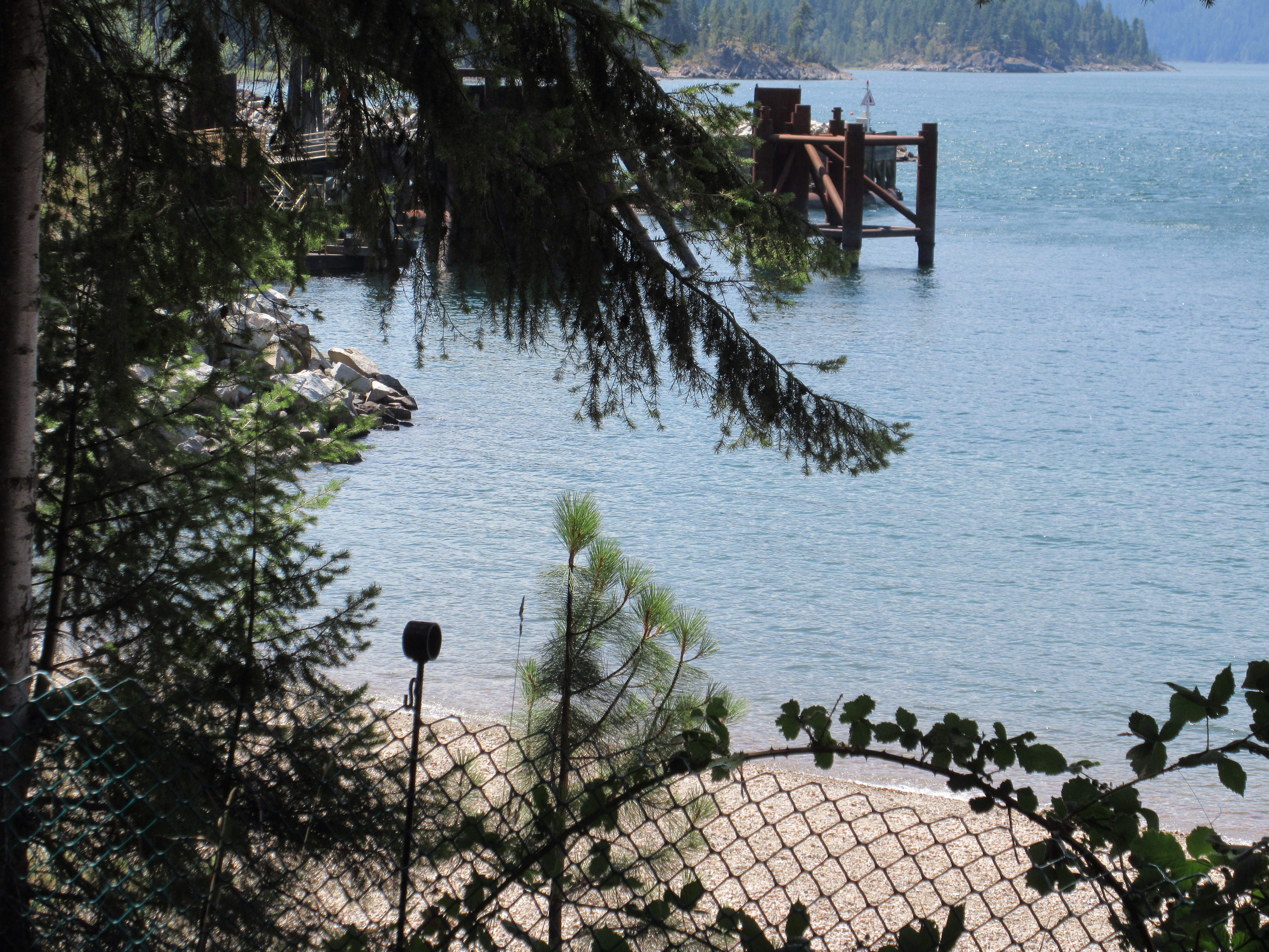
View towards the dock
2014-04-28_02-04-44
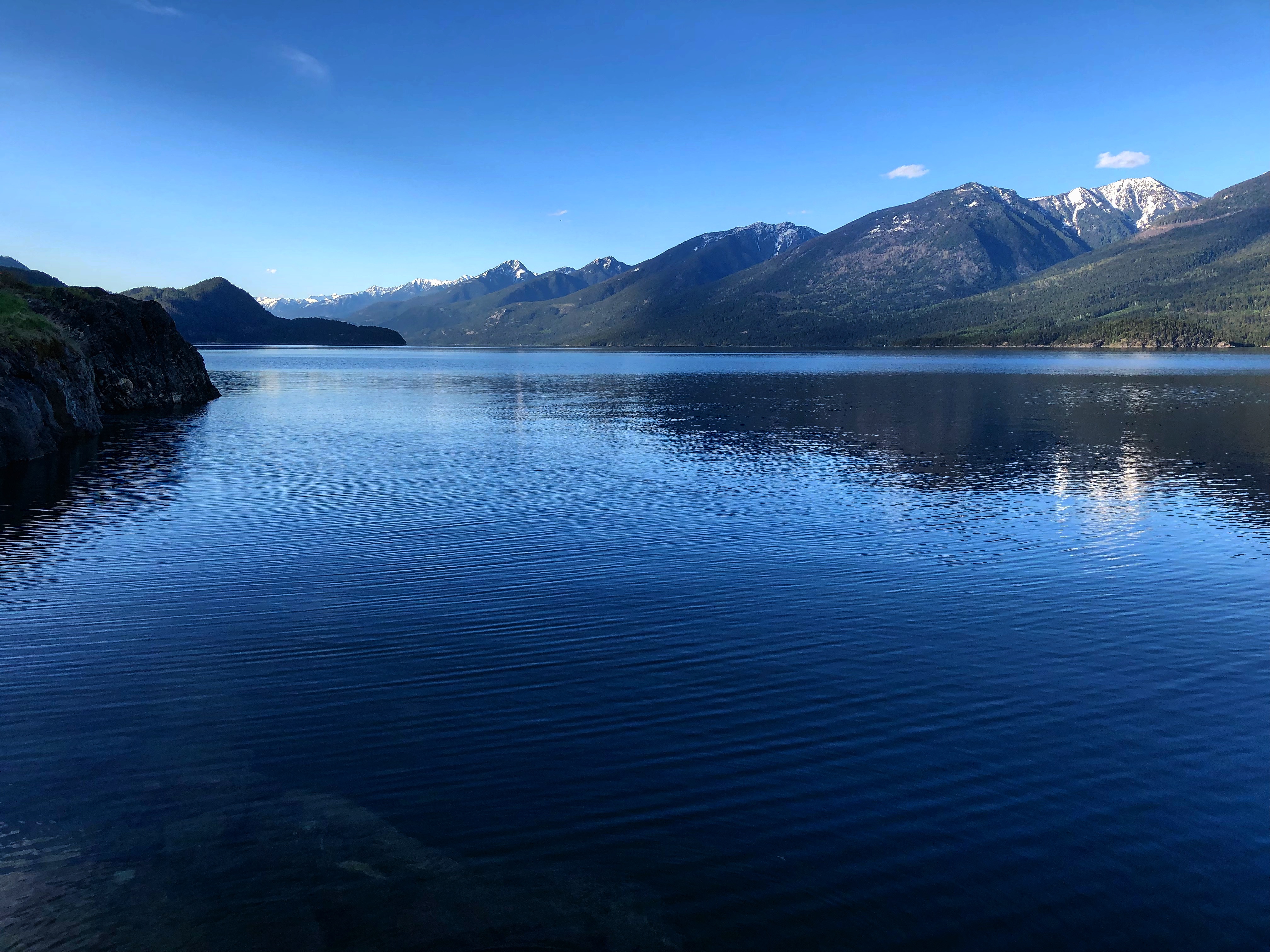
Kootenay Lake (HDR)
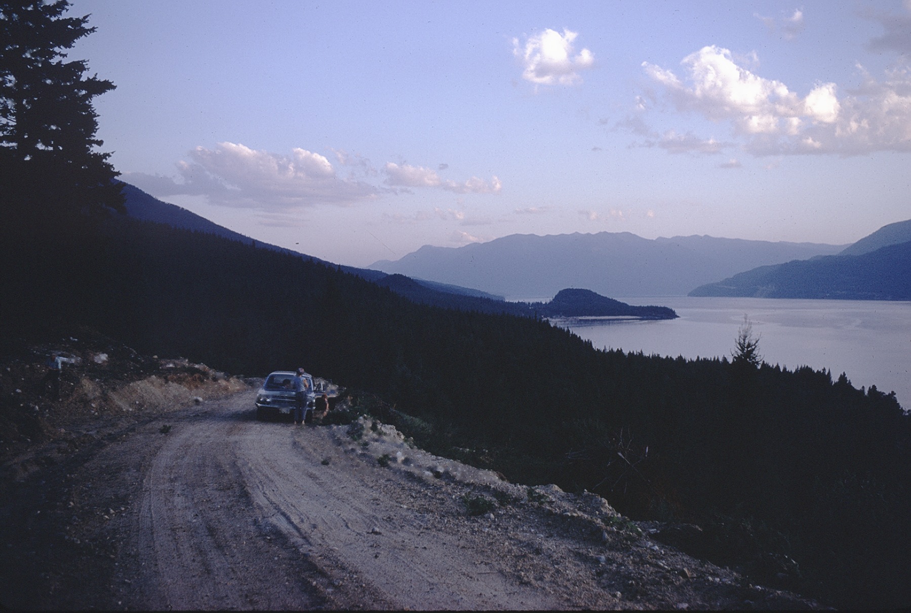
S toward Riondel 1970
Seating Aboard the Osprey
Stretched Out
At entrance to BlueBell Mine
Auf der Fähre von Kootenay Bay nach Balfour
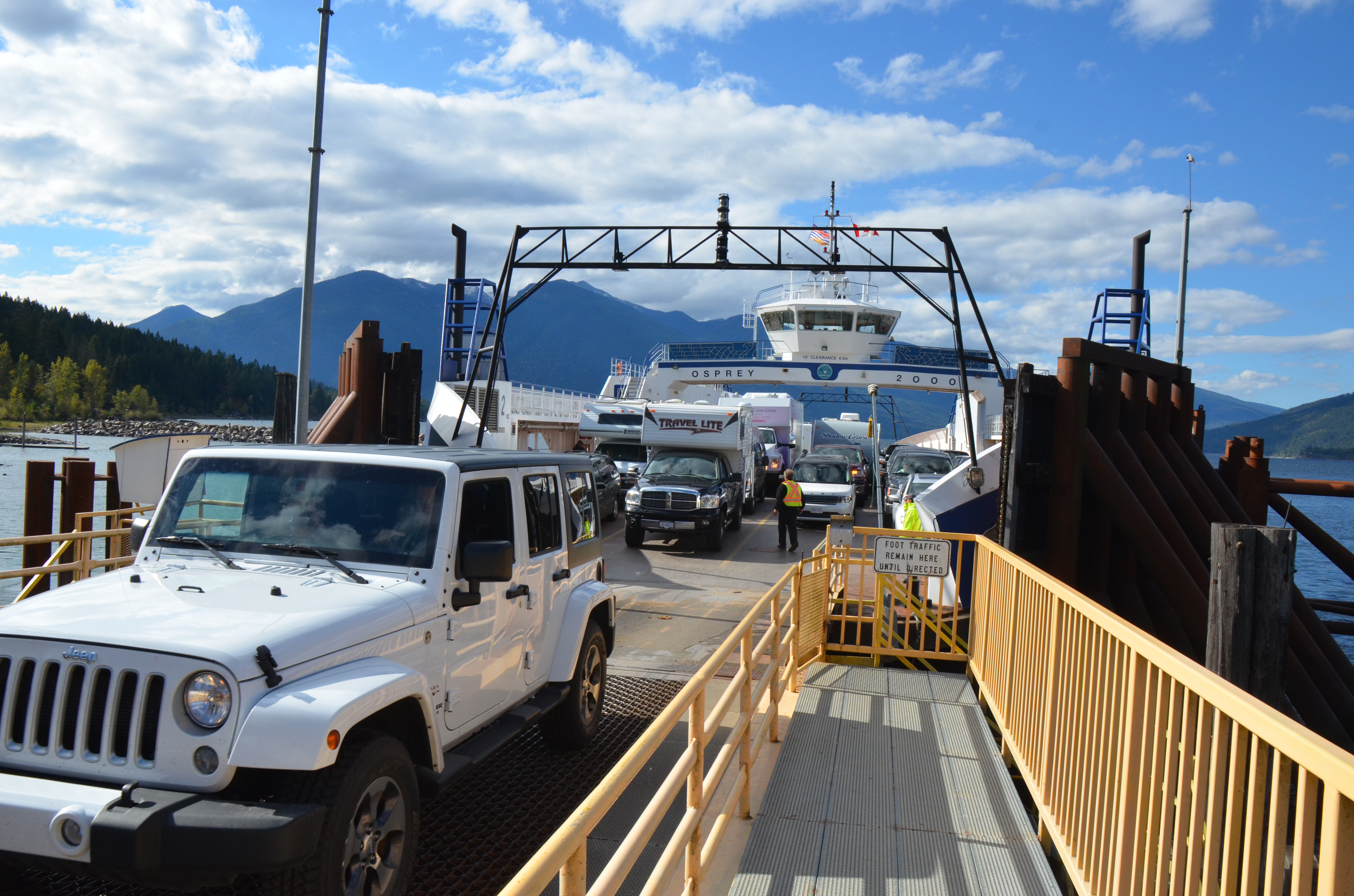
Auf der Fähre von Kootenay Bay nach Balfour
Can't quite see in
Departing ferry

Festival doze
Crawford Bay
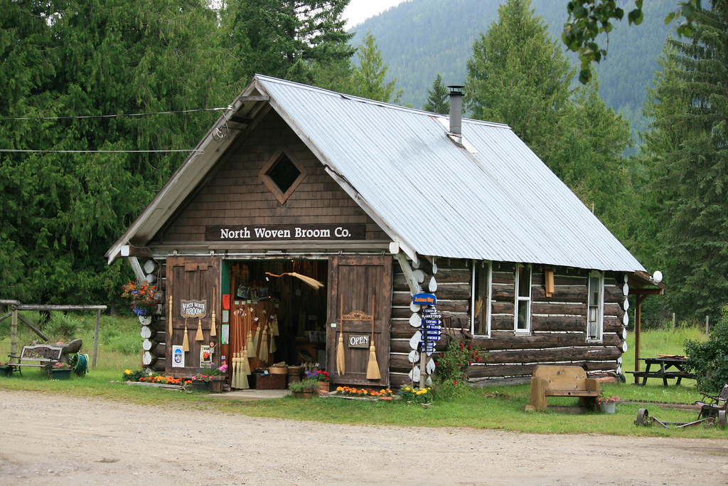
North Woven Broom Co., Crawford Bay, BC

Kokanee Golf Course

Mt. Crawford
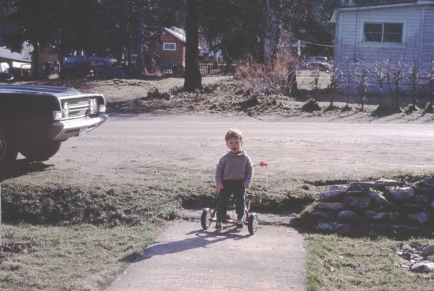
Doug April 1970
Doug on steps
110-1084_IMG
Amazing Grace
Unto The Root
Fishhawk Bay Road, Fishhawk Bay Rd, Central Kootenay A, BC V0B, Canada Map
Search another place
Near Places
Crawford Bay, BC V0B, Canada
Woolgar Road, Central Kootenay A, BC V0B 1E0, Canada
Wadds Rd, Central Kootenay A, BC V0B 1E0, Canada
Kootenay Bay, BC V0B 1X0, Canada
BC-3A, Gray Creek, BC V0B 1S0, Canada
Gray Creek, BC V0B, Canada
Kootenay Lake, British Columbia, Canada
Queens Bay, BC V1L, Canada
Kootenay Lake Road, Central Kootenay E, BC, Canada
Balfour, BC V0G 1C0, Canada
Twin Bay Road, Twin Bay Rd, Central Kootenay D, BC V0G 1M0, Canada
Sunshine Bay, BC V1L 6R3, Canada
Central Kootenay E, BC, Canada
Christie Rd, Boswell, BC V0B 1A4, Canada
Boswell, BC V0B, Canada
Erindale Rd, Nelson, BC V1L 6P8, Canada
Lake Street, Lake St, Central Kootenay D, BC V0G 1M0, Canada
Arena Ave, Ainsworth Hot Springs, BC V0G 1A0, Canada
Front St, Kaslo, BC V0G 1M0, Canada
A Ave, Kaslo, BC V0G 1M0, Canada
Recent Searches
- Sunrise Sunset Times of Red Dog Mine, AK, USA
- Sunrise Sunset Times of Am Bahnhof, Am bhf, Borken, Germany
- Sunrise Sunset Times of 4th St E, Sonoma, CA, USA
- Sunrise Sunset Times of Oakland Ave, Williamsport, PA, USA
- Sunrise Sunset Times of Via Roma, Pieranica CR, Italy
- Sunrise Sunset Times of Clock Tower of Dubrovnik, Grad, Dubrovnik, Croatia
- Sunrise Sunset Times of Trelew, Chubut Province, Argentina
- Sunrise Sunset Times of Hartfords Bluff Cir, Mt Pleasant, SC, USA
- Sunrise Sunset Times of Kita Ward, Kumamoto, Japan
- Sunrise Sunset Times of Pingtan Island, Pingtan County, Fuzhou, China