Horas de salida y puesta de sol de Whitetop Mountain, Wilson Creek, VA, EE. UU.
Location: Estados Unidos > Virginia > Condado de Grayson > Wilson Creek > Whitetop >
Zona horaria:
America/New_York
Hora local:
2025-06-22 12:12:17
Longitud:
-81.605392
Latitud:
36.6387294
Salida de sol de hoy:
06:08:49 AM
Puesta de sol de hoy:
08:48:49 PM
La duración del día hoy:
14h 40m 0s
Salida de sol de mañana:
06:09:07 AM
Puesta de sol de mañana:
08:48:56 PM
La duración del día mañana:
14h 39m 49s
Mostrar todas las fechas
| Fecha | Salida de sol | Puesta de sol | Duración del día |
|---|---|---|---|
| 01/01/2025 | 07:38:48 AM | 05:22:16 PM | 9h 43m 28s |
| 02/01/2025 | 07:38:55 AM | 05:23:05 PM | 9h 44m 10s |
| 03/01/2025 | 07:38:59 AM | 05:23:55 PM | 9h 44m 56s |
| 04/01/2025 | 07:39:02 AM | 05:24:46 PM | 9h 45m 44s |
| 05/01/2025 | 07:39:02 AM | 05:25:38 PM | 9h 46m 36s |
| 06/01/2025 | 07:39:01 AM | 05:26:31 PM | 9h 47m 30s |
| 07/01/2025 | 07:38:57 AM | 05:27:26 PM | 9h 48m 29s |
| 08/01/2025 | 07:38:52 AM | 05:28:21 PM | 9h 49m 29s |
| 09/01/2025 | 07:38:44 AM | 05:29:17 PM | 9h 50m 33s |
| 10/01/2025 | 07:38:34 AM | 05:30:14 PM | 9h 51m 40s |
| 11/01/2025 | 07:38:23 AM | 05:31:12 PM | 9h 52m 49s |
| 12/01/2025 | 07:38:09 AM | 05:32:11 PM | 9h 54m 2s |
| 13/01/2025 | 07:37:54 AM | 05:33:10 PM | 9h 55m 16s |
| 14/01/2025 | 07:37:36 AM | 05:34:10 PM | 9h 56m 34s |
| 15/01/2025 | 07:37:17 AM | 05:35:11 PM | 9h 57m 54s |
| 16/01/2025 | 07:36:55 AM | 05:36:12 PM | 9h 59m 17s |
| 17/01/2025 | 07:36:32 AM | 05:37:13 PM | 10h 0m 41s |
| 18/01/2025 | 07:36:07 AM | 05:38:15 PM | 10h 2m 8s |
| 19/01/2025 | 07:35:39 AM | 05:39:18 PM | 10h 3m 39s |
| 20/01/2025 | 07:35:10 AM | 05:40:21 PM | 10h 5m 11s |
| 21/01/2025 | 07:34:39 AM | 05:41:24 PM | 10h 6m 45s |
| 22/01/2025 | 07:34:07 AM | 05:42:28 PM | 10h 8m 21s |
| 23/01/2025 | 07:33:32 AM | 05:43:31 PM | 10h 9m 59s |
| 24/01/2025 | 07:32:56 AM | 05:44:35 PM | 10h 11m 39s |
| 25/01/2025 | 07:32:17 AM | 05:45:40 PM | 10h 13m 23s |
| 26/01/2025 | 07:31:37 AM | 05:46:44 PM | 10h 15m 7s |
| 27/01/2025 | 07:30:56 AM | 05:47:48 PM | 10h 16m 52s |
| 28/01/2025 | 07:30:13 AM | 05:48:53 PM | 10h 18m 40s |
| 29/01/2025 | 07:29:28 AM | 05:49:57 PM | 10h 20m 29s |
| 30/01/2025 | 07:28:41 AM | 05:51:02 PM | 10h 22m 21s |
| 31/01/2025 | 07:27:53 AM | 05:52:07 PM | 10h 24m 14s |
| 01/02/2025 | 07:27:03 AM | 05:53:11 PM | 10h 26m 8s |
| 02/02/2025 | 07:26:11 AM | 05:54:15 PM | 10h 28m 4s |
| 03/02/2025 | 07:25:18 AM | 05:55:20 PM | 10h 30m 2s |
| 04/02/2025 | 07:24:24 AM | 05:56:24 PM | 10h 32m 0s |
| 05/02/2025 | 07:23:28 AM | 05:57:28 PM | 10h 34m 0s |
| 06/02/2025 | 07:22:31 AM | 05:58:32 PM | 10h 36m 1s |
| 07/02/2025 | 07:21:32 AM | 05:59:35 PM | 10h 38m 3s |
| 08/02/2025 | 07:20:32 AM | 06:00:39 PM | 10h 40m 7s |
| 09/02/2025 | 07:19:31 AM | 06:01:42 PM | 10h 42m 11s |
| 10/02/2025 | 07:18:28 AM | 06:02:45 PM | 10h 44m 17s |
| 11/02/2025 | 07:17:24 AM | 06:03:48 PM | 10h 46m 24s |
| 12/02/2025 | 07:16:19 AM | 06:04:50 PM | 10h 48m 31s |
| 13/02/2025 | 07:15:13 AM | 06:05:53 PM | 10h 50m 40s |
| 14/02/2025 | 07:14:05 AM | 06:06:54 PM | 10h 52m 49s |
| 15/02/2025 | 07:12:56 AM | 06:07:56 PM | 10h 55m 0s |
| 16/02/2025 | 07:11:46 AM | 06:08:57 PM | 10h 57m 11s |
| 17/02/2025 | 07:10:36 AM | 06:09:58 PM | 10h 59m 22s |
| 18/02/2025 | 07:09:24 AM | 06:10:59 PM | 11h 1m 35s |
| 19/02/2025 | 07:08:11 AM | 06:11:59 PM | 11h 3m 48s |
| 20/02/2025 | 07:06:57 AM | 06:12:59 PM | 11h 6m 2s |
| 21/02/2025 | 07:05:42 AM | 06:13:59 PM | 11h 8m 17s |
| 22/02/2025 | 07:04:26 AM | 06:14:59 PM | 11h 10m 33s |
| 23/02/2025 | 07:03:09 AM | 06:15:58 PM | 11h 12m 49s |
| 24/02/2025 | 07:01:52 AM | 06:16:56 PM | 11h 15m 4s |
| 25/02/2025 | 07:00:34 AM | 06:17:55 PM | 11h 17m 21s |
| 26/02/2025 | 06:59:15 AM | 06:18:53 PM | 11h 19m 38s |
| 27/02/2025 | 06:57:55 AM | 06:19:51 PM | 11h 21m 56s |
| 28/02/2025 | 06:56:34 AM | 06:20:48 PM | 11h 24m 14s |
| 01/03/2025 | 06:55:13 AM | 06:21:45 PM | 11h 26m 32s |
| 02/03/2025 | 06:53:51 AM | 06:22:42 PM | 11h 28m 51s |
| 03/03/2025 | 06:52:29 AM | 06:23:39 PM | 11h 31m 10s |
| 04/03/2025 | 06:51:05 AM | 06:24:35 PM | 11h 33m 30s |
| 05/03/2025 | 06:49:42 AM | 06:25:31 PM | 11h 35m 49s |
| 06/03/2025 | 06:48:18 AM | 06:26:26 PM | 11h 38m 8s |
| 07/03/2025 | 06:46:53 AM | 06:27:22 PM | 11h 40m 29s |
| 08/03/2025 | 06:45:28 AM | 06:28:17 PM | 11h 42m 49s |
| 09/03/2025 | 07:44:06 AM | 07:29:10 PM | 11h 45m 4s |
| 10/03/2025 | 07:42:40 AM | 07:30:04 PM | 11h 47m 24s |
| 11/03/2025 | 07:41:14 AM | 07:30:59 PM | 11h 49m 45s |
| 12/03/2025 | 07:39:47 AM | 07:31:53 PM | 11h 52m 6s |
| 13/03/2025 | 07:38:20 AM | 07:32:47 PM | 11h 54m 27s |
| 14/03/2025 | 07:36:53 AM | 07:33:40 PM | 11h 56m 47s |
| 15/03/2025 | 07:35:25 AM | 07:34:34 PM | 11h 59m 9s |
| 16/03/2025 | 07:33:57 AM | 07:35:27 PM | 12h 1m 30s |
| 17/03/2025 | 07:32:29 AM | 07:36:21 PM | 12h 3m 52s |
| 18/03/2025 | 07:31:01 AM | 07:37:14 PM | 12h 6m 13s |
| 19/03/2025 | 07:29:33 AM | 07:38:06 PM | 12h 8m 33s |
| 20/03/2025 | 07:28:05 AM | 07:38:59 PM | 12h 10m 54s |
| 21/03/2025 | 07:26:36 AM | 07:39:52 PM | 12h 13m 16s |
| 22/03/2025 | 07:25:08 AM | 07:40:44 PM | 12h 15m 36s |
| 23/03/2025 | 07:23:40 AM | 07:41:37 PM | 12h 17m 57s |
| 24/03/2025 | 07:22:11 AM | 07:42:29 PM | 12h 20m 18s |
| 25/03/2025 | 07:20:43 AM | 07:43:21 PM | 12h 22m 38s |
| 26/03/2025 | 07:19:14 AM | 07:44:13 PM | 12h 24m 59s |
| 27/03/2025 | 07:17:46 AM | 07:45:05 PM | 12h 27m 19s |
| 28/03/2025 | 07:16:18 AM | 07:45:57 PM | 12h 29m 39s |
| 29/03/2025 | 07:14:50 AM | 07:46:49 PM | 12h 31m 59s |
| 30/03/2025 | 07:13:23 AM | 07:47:41 PM | 12h 34m 18s |
| 31/03/2025 | 07:11:55 AM | 07:48:33 PM | 12h 36m 38s |
| 01/04/2025 | 07:10:28 AM | 07:49:24 PM | 12h 38m 56s |
| 02/04/2025 | 07:09:01 AM | 07:50:16 PM | 12h 41m 15s |
| 03/04/2025 | 07:07:34 AM | 07:51:08 PM | 12h 43m 34s |
| 04/04/2025 | 07:06:08 AM | 07:52:00 PM | 12h 45m 52s |
| 05/04/2025 | 07:04:42 AM | 07:52:52 PM | 12h 48m 10s |
| 06/04/2025 | 07:03:17 AM | 07:53:43 PM | 12h 50m 26s |
| 07/04/2025 | 07:01:52 AM | 07:54:35 PM | 12h 52m 43s |
| 08/04/2025 | 07:00:27 AM | 07:55:27 PM | 12h 55m 0s |
| 09/04/2025 | 06:59:03 AM | 07:56:19 PM | 12h 57m 16s |
| 10/04/2025 | 06:57:39 AM | 07:57:11 PM | 12h 59m 32s |
| 11/04/2025 | 06:56:16 AM | 07:58:03 PM | 13h 1m 47s |
| 12/04/2025 | 06:54:54 AM | 07:58:55 PM | 13h 4m 1s |
| 13/04/2025 | 06:53:32 AM | 07:59:47 PM | 13h 6m 15s |
| 14/04/2025 | 06:52:10 AM | 08:00:39 PM | 13h 8m 29s |
| 15/04/2025 | 06:50:50 AM | 08:01:32 PM | 13h 10m 42s |
| 16/04/2025 | 06:49:30 AM | 08:02:24 PM | 13h 12m 54s |
| 17/04/2025 | 06:48:11 AM | 08:03:16 PM | 13h 15m 5s |
| 18/04/2025 | 06:46:53 AM | 08:04:08 PM | 13h 17m 15s |
| 19/04/2025 | 06:45:35 AM | 08:05:01 PM | 13h 19m 26s |
| 20/04/2025 | 06:44:18 AM | 08:05:53 PM | 13h 21m 35s |
| 21/04/2025 | 06:43:02 AM | 08:06:46 PM | 13h 23m 44s |
| 22/04/2025 | 06:41:47 AM | 08:07:38 PM | 13h 25m 51s |
| 23/04/2025 | 06:40:33 AM | 08:08:31 PM | 13h 27m 58s |
| 24/04/2025 | 06:39:20 AM | 08:09:23 PM | 13h 30m 3s |
| 25/04/2025 | 06:38:07 AM | 08:10:16 PM | 13h 32m 9s |
| 26/04/2025 | 06:36:56 AM | 08:11:09 PM | 13h 34m 13s |
| 27/04/2025 | 06:35:46 AM | 08:12:01 PM | 13h 36m 15s |
| 28/04/2025 | 06:34:37 AM | 08:12:54 PM | 13h 38m 17s |
| 29/04/2025 | 06:33:29 AM | 08:13:46 PM | 13h 40m 17s |
| 30/04/2025 | 06:32:21 AM | 08:14:39 PM | 13h 42m 18s |
| 01/05/2025 | 06:31:16 AM | 08:15:31 PM | 13h 44m 15s |
| 02/05/2025 | 06:30:11 AM | 08:16:23 PM | 13h 46m 12s |
| 03/05/2025 | 06:29:07 AM | 08:17:16 PM | 13h 48m 9s |
| 04/05/2025 | 06:28:05 AM | 08:18:08 PM | 13h 50m 3s |
| 05/05/2025 | 06:27:04 AM | 08:19:00 PM | 13h 51m 56s |
| 06/05/2025 | 06:26:04 AM | 08:19:52 PM | 13h 53m 48s |
| 07/05/2025 | 06:25:06 AM | 08:20:44 PM | 13h 55m 38s |
| 08/05/2025 | 06:24:08 AM | 08:21:35 PM | 13h 57m 27s |
| 09/05/2025 | 06:23:12 AM | 08:22:27 PM | 13h 59m 15s |
| 10/05/2025 | 06:22:18 AM | 08:23:18 PM | 14h 1m 0s |
| 11/05/2025 | 06:21:25 AM | 08:24:09 PM | 14h 2m 44s |
| 12/05/2025 | 06:20:33 AM | 08:24:59 PM | 14h 4m 26s |
| 13/05/2025 | 06:19:43 AM | 08:25:49 PM | 14h 6m 6s |
| 14/05/2025 | 06:18:54 AM | 08:26:39 PM | 14h 7m 45s |
| 15/05/2025 | 06:18:07 AM | 08:27:29 PM | 14h 9m 22s |
| 16/05/2025 | 06:17:21 AM | 08:28:18 PM | 14h 10m 57s |
| 17/05/2025 | 06:16:37 AM | 08:29:07 PM | 14h 12m 30s |
| 18/05/2025 | 06:15:55 AM | 08:29:55 PM | 14h 14m 0s |
| 19/05/2025 | 06:15:13 AM | 08:30:43 PM | 14h 15m 30s |
| 20/05/2025 | 06:14:34 AM | 08:31:30 PM | 14h 16m 56s |
| 21/05/2025 | 06:13:56 AM | 08:32:17 PM | 14h 18m 21s |
| 22/05/2025 | 06:13:20 AM | 08:33:03 PM | 14h 19m 43s |
| 23/05/2025 | 06:12:45 AM | 08:33:49 PM | 14h 21m 4s |
| 24/05/2025 | 06:12:12 AM | 08:34:34 PM | 14h 22m 22s |
| 25/05/2025 | 06:11:41 AM | 08:35:18 PM | 14h 23m 37s |
| 26/05/2025 | 06:11:12 AM | 08:36:01 PM | 14h 24m 49s |
| 27/05/2025 | 06:10:44 AM | 08:36:44 PM | 14h 26m 0s |
| 28/05/2025 | 06:10:18 AM | 08:37:26 PM | 14h 27m 8s |
| 29/05/2025 | 06:09:53 AM | 08:38:07 PM | 14h 28m 14s |
| 30/05/2025 | 06:09:30 AM | 08:38:47 PM | 14h 29m 17s |
| 31/05/2025 | 06:09:09 AM | 08:39:26 PM | 14h 30m 17s |
| 01/06/2025 | 06:08:50 AM | 08:40:05 PM | 14h 31m 15s |
| 02/06/2025 | 06:08:33 AM | 08:40:42 PM | 14h 32m 9s |
| 03/06/2025 | 06:08:17 AM | 08:41:18 PM | 14h 33m 1s |
| 04/06/2025 | 06:08:03 AM | 08:41:54 PM | 14h 33m 51s |
| 05/06/2025 | 06:07:50 AM | 08:42:28 PM | 14h 34m 38s |
| 06/06/2025 | 06:07:40 AM | 08:43:01 PM | 14h 35m 21s |
| 07/06/2025 | 06:07:31 AM | 08:43:32 PM | 14h 36m 1s |
| 08/06/2025 | 06:07:24 AM | 08:44:03 PM | 14h 36m 39s |
| 09/06/2025 | 06:07:19 AM | 08:44:32 PM | 14h 37m 13s |
| 10/06/2025 | 06:07:15 AM | 08:45:00 PM | 14h 37m 45s |
| 11/06/2025 | 06:07:13 AM | 08:45:27 PM | 14h 38m 14s |
| 12/06/2025 | 06:07:13 AM | 08:45:52 PM | 14h 38m 39s |
| 13/06/2025 | 06:07:14 AM | 08:46:16 PM | 14h 39m 2s |
| 14/06/2025 | 06:07:17 AM | 08:46:39 PM | 14h 39m 22s |
| 15/06/2025 | 06:07:22 AM | 08:47:00 PM | 14h 39m 38s |
| 16/06/2025 | 06:07:29 AM | 08:47:19 PM | 14h 39m 50s |
| 17/06/2025 | 06:07:37 AM | 08:47:37 PM | 14h 40m 0s |
| 18/06/2025 | 06:07:46 AM | 08:47:54 PM | 14h 40m 8s |
| 19/06/2025 | 06:07:57 AM | 08:48:09 PM | 14h 40m 12s |
| 20/06/2025 | 06:08:10 AM | 08:48:22 PM | 14h 40m 12s |
| 21/06/2025 | 06:08:24 AM | 08:48:34 PM | 14h 40m 10s |
| 22/06/2025 | 06:08:40 AM | 08:48:44 PM | 14h 40m 4s |
| 23/06/2025 | 06:08:57 AM | 08:48:53 PM | 14h 39m 56s |
| 24/06/2025 | 06:09:16 AM | 08:48:59 PM | 14h 39m 43s |
| 25/06/2025 | 06:09:36 AM | 08:49:05 PM | 14h 39m 29s |
| 26/06/2025 | 06:09:58 AM | 08:49:08 PM | 14h 39m 10s |
| 27/06/2025 | 06:10:21 AM | 08:49:10 PM | 14h 38m 49s |
| 28/06/2025 | 06:10:45 AM | 08:49:10 PM | 14h 38m 25s |
| 29/06/2025 | 06:11:10 AM | 08:49:08 PM | 14h 37m 58s |
| 30/06/2025 | 06:11:37 AM | 08:49:04 PM | 14h 37m 27s |
| 01/07/2025 | 06:12:05 AM | 08:48:59 PM | 14h 36m 54s |
| 02/07/2025 | 06:12:34 AM | 08:48:52 PM | 14h 36m 18s |
| 03/07/2025 | 06:13:05 AM | 08:48:43 PM | 14h 35m 38s |
| 04/07/2025 | 06:13:36 AM | 08:48:33 PM | 14h 34m 57s |
| 05/07/2025 | 06:14:09 AM | 08:48:20 PM | 14h 34m 11s |
| 06/07/2025 | 06:14:42 AM | 08:48:06 PM | 14h 33m 24s |
| 07/07/2025 | 06:15:17 AM | 08:47:50 PM | 14h 32m 33s |
| 08/07/2025 | 06:15:53 AM | 08:47:32 PM | 14h 31m 39s |
| 09/07/2025 | 06:16:29 AM | 08:47:13 PM | 14h 30m 44s |
| 10/07/2025 | 06:17:06 AM | 08:46:52 PM | 14h 29m 46s |
| 11/07/2025 | 06:17:45 AM | 08:46:29 PM | 14h 28m 44s |
| 12/07/2025 | 06:18:24 AM | 08:46:04 PM | 14h 27m 40s |
| 13/07/2025 | 06:19:04 AM | 08:45:37 PM | 14h 26m 33s |
| 14/07/2025 | 06:19:44 AM | 08:45:09 PM | 14h 25m 25s |
| 15/07/2025 | 06:20:26 AM | 08:44:39 PM | 14h 24m 13s |
| 16/07/2025 | 06:21:08 AM | 08:44:07 PM | 14h 22m 59s |
| 17/07/2025 | 06:21:50 AM | 08:43:34 PM | 14h 21m 44s |
| 18/07/2025 | 06:22:34 AM | 08:42:59 PM | 14h 20m 25s |
| 19/07/2025 | 06:23:17 AM | 08:42:22 PM | 14h 19m 5s |
| 20/07/2025 | 06:24:02 AM | 08:41:43 PM | 14h 17m 41s |
| 21/07/2025 | 06:24:47 AM | 08:41:03 PM | 14h 16m 16s |
| 22/07/2025 | 06:25:32 AM | 08:40:21 PM | 14h 14m 49s |
| 23/07/2025 | 06:26:18 AM | 08:39:38 PM | 14h 13m 20s |
| 24/07/2025 | 06:27:04 AM | 08:38:53 PM | 14h 11m 49s |
| 25/07/2025 | 06:27:50 AM | 08:38:07 PM | 14h 10m 17s |
| 26/07/2025 | 06:28:37 AM | 08:37:19 PM | 14h 8m 42s |
| 27/07/2025 | 06:29:24 AM | 08:36:29 PM | 14h 7m 5s |
| 28/07/2025 | 06:30:12 AM | 08:35:38 PM | 14h 5m 26s |
| 29/07/2025 | 06:31:00 AM | 08:34:45 PM | 14h 3m 45s |
| 30/07/2025 | 06:31:48 AM | 08:33:51 PM | 14h 2m 3s |
| 31/07/2025 | 06:32:36 AM | 08:32:56 PM | 14h 0m 20s |
| 01/08/2025 | 06:33:24 AM | 08:31:59 PM | 13h 58m 35s |
| 02/08/2025 | 06:34:13 AM | 08:31:01 PM | 13h 56m 48s |
| 03/08/2025 | 06:35:01 AM | 08:30:02 PM | 13h 55m 1s |
| 04/08/2025 | 06:35:50 AM | 08:29:01 PM | 13h 53m 11s |
| 05/08/2025 | 06:36:39 AM | 08:27:59 PM | 13h 51m 20s |
| 06/08/2025 | 06:37:28 AM | 08:26:55 PM | 13h 49m 27s |
| 07/08/2025 | 06:38:17 AM | 08:25:51 PM | 13h 47m 34s |
| 08/08/2025 | 06:39:06 AM | 08:24:45 PM | 13h 45m 39s |
| 09/08/2025 | 06:39:55 AM | 08:23:38 PM | 13h 43m 43s |
| 10/08/2025 | 06:40:44 AM | 08:22:29 PM | 13h 41m 45s |
| 11/08/2025 | 06:41:33 AM | 08:21:20 PM | 13h 39m 47s |
| 12/08/2025 | 06:42:22 AM | 08:20:10 PM | 13h 37m 48s |
| 13/08/2025 | 06:43:11 AM | 08:18:58 PM | 13h 35m 47s |
| 14/08/2025 | 06:44:00 AM | 08:17:46 PM | 13h 33m 46s |
| 15/08/2025 | 06:44:49 AM | 08:16:32 PM | 13h 31m 43s |
| 16/08/2025 | 06:45:38 AM | 08:15:18 PM | 13h 29m 40s |
| 17/08/2025 | 06:46:27 AM | 08:14:02 PM | 13h 27m 35s |
| 18/08/2025 | 06:47:16 AM | 08:12:46 PM | 13h 25m 30s |
| 19/08/2025 | 06:48:05 AM | 08:11:28 PM | 13h 23m 23s |
| 20/08/2025 | 06:48:54 AM | 08:10:10 PM | 13h 21m 16s |
| 21/08/2025 | 06:49:42 AM | 08:08:51 PM | 13h 19m 9s |
| 22/08/2025 | 06:50:31 AM | 08:07:31 PM | 13h 17m 0s |
| 23/08/2025 | 06:51:19 AM | 08:06:11 PM | 13h 14m 52s |
| 24/08/2025 | 06:52:07 AM | 08:04:49 PM | 13h 12m 42s |
| 25/08/2025 | 06:52:56 AM | 08:03:27 PM | 13h 10m 31s |
| 26/08/2025 | 06:53:44 AM | 08:02:05 PM | 13h 8m 21s |
| 27/08/2025 | 06:54:32 AM | 08:00:41 PM | 13h 6m 9s |
| 28/08/2025 | 06:55:20 AM | 07:59:17 PM | 13h 3m 57s |
| 29/08/2025 | 06:56:08 AM | 07:57:52 PM | 13h 1m 44s |
| 30/08/2025 | 06:56:56 AM | 07:56:27 PM | 12h 59m 31s |
| 31/08/2025 | 06:57:44 AM | 07:55:01 PM | 12h 57m 17s |
| 01/09/2025 | 06:58:31 AM | 07:53:35 PM | 12h 55m 4s |
| 02/09/2025 | 06:59:19 AM | 07:52:08 PM | 12h 52m 49s |
| 03/09/2025 | 07:00:07 AM | 07:50:41 PM | 12h 50m 34s |
| 04/09/2025 | 07:00:54 AM | 07:49:13 PM | 12h 48m 19s |
| 05/09/2025 | 07:01:42 AM | 07:47:45 PM | 12h 46m 3s |
| 06/09/2025 | 07:02:29 AM | 07:46:17 PM | 12h 43m 48s |
| 07/09/2025 | 07:03:17 AM | 07:44:48 PM | 12h 41m 31s |
| 08/09/2025 | 07:04:04 AM | 07:43:19 PM | 12h 39m 15s |
| 09/09/2025 | 07:04:52 AM | 07:41:49 PM | 12h 36m 57s |
| 10/09/2025 | 07:05:39 AM | 07:40:19 PM | 12h 34m 40s |
| 11/09/2025 | 07:06:27 AM | 07:38:50 PM | 12h 32m 23s |
| 12/09/2025 | 07:07:14 AM | 07:37:19 PM | 12h 30m 5s |
| 13/09/2025 | 07:08:02 AM | 07:35:49 PM | 12h 27m 47s |
| 14/09/2025 | 07:08:50 AM | 07:34:19 PM | 12h 25m 29s |
| 15/09/2025 | 07:09:37 AM | 07:32:48 PM | 12h 23m 11s |
| 16/09/2025 | 07:10:25 AM | 07:31:18 PM | 12h 20m 53s |
| 17/09/2025 | 07:11:13 AM | 07:29:47 PM | 12h 18m 34s |
| 18/09/2025 | 07:12:01 AM | 07:28:16 PM | 12h 16m 15s |
| 19/09/2025 | 07:12:49 AM | 07:26:45 PM | 12h 13m 56s |
| 20/09/2025 | 07:13:37 AM | 07:25:15 PM | 12h 11m 38s |
| 21/09/2025 | 07:14:25 AM | 07:23:44 PM | 12h 9m 19s |
| 22/09/2025 | 07:15:13 AM | 07:22:14 PM | 12h 7m 1s |
| 23/09/2025 | 07:16:02 AM | 07:20:43 PM | 12h 4m 41s |
| 24/09/2025 | 07:16:51 AM | 07:19:13 PM | 12h 2m 22s |
| 25/09/2025 | 07:17:39 AM | 07:17:43 PM | 12h 0m 4s |
| 26/09/2025 | 07:18:28 AM | 07:16:13 PM | 11h 57m 45s |
| 27/09/2025 | 07:19:18 AM | 07:14:43 PM | 11h 55m 25s |
| 28/09/2025 | 07:20:07 AM | 07:13:14 PM | 11h 53m 7s |
| 29/09/2025 | 07:20:57 AM | 07:11:45 PM | 11h 50m 48s |
| 30/09/2025 | 07:21:47 AM | 07:10:16 PM | 11h 48m 29s |
| 01/10/2025 | 07:22:37 AM | 07:08:48 PM | 11h 46m 11s |
| 02/10/2025 | 07:23:27 AM | 07:07:20 PM | 11h 43m 53s |
| 03/10/2025 | 07:24:18 AM | 07:05:52 PM | 11h 41m 34s |
| 04/10/2025 | 07:25:09 AM | 07:04:25 PM | 11h 39m 16s |
| 05/10/2025 | 07:26:00 AM | 07:02:58 PM | 11h 36m 58s |
| 06/10/2025 | 07:26:51 AM | 07:01:32 PM | 11h 34m 41s |
| 07/10/2025 | 07:27:43 AM | 07:00:06 PM | 11h 32m 23s |
| 08/10/2025 | 07:28:35 AM | 06:58:41 PM | 11h 30m 6s |
| 09/10/2025 | 07:29:27 AM | 06:57:17 PM | 11h 27m 50s |
| 10/10/2025 | 07:30:20 AM | 06:55:53 PM | 11h 25m 33s |
| 11/10/2025 | 07:31:13 AM | 06:54:30 PM | 11h 23m 17s |
| 12/10/2025 | 07:32:06 AM | 06:53:07 PM | 11h 21m 1s |
| 13/10/2025 | 07:33:00 AM | 06:51:45 PM | 11h 18m 45s |
| 14/10/2025 | 07:33:54 AM | 06:50:24 PM | 11h 16m 30s |
| 15/10/2025 | 07:34:49 AM | 06:49:04 PM | 11h 14m 15s |
| 16/10/2025 | 07:35:43 AM | 06:47:45 PM | 11h 12m 2s |
| 17/10/2025 | 07:36:38 AM | 06:46:26 PM | 11h 9m 48s |
| 18/10/2025 | 07:37:34 AM | 06:45:08 PM | 11h 7m 34s |
| 19/10/2025 | 07:38:30 AM | 06:43:52 PM | 11h 5m 22s |
| 20/10/2025 | 07:39:26 AM | 06:42:36 PM | 11h 3m 10s |
| 21/10/2025 | 07:40:22 AM | 06:41:21 PM | 11h 0m 59s |
| 22/10/2025 | 07:41:19 AM | 06:40:07 PM | 10h 58m 48s |
| 23/10/2025 | 07:42:16 AM | 06:38:54 PM | 10h 56m 38s |
| 24/10/2025 | 07:43:14 AM | 06:37:43 PM | 10h 54m 29s |
| 25/10/2025 | 07:44:12 AM | 06:36:32 PM | 10h 52m 20s |
| 26/10/2025 | 07:45:10 AM | 06:35:22 PM | 10h 50m 12s |
| 27/10/2025 | 07:46:08 AM | 06:34:14 PM | 10h 48m 6s |
| 28/10/2025 | 07:47:07 AM | 06:33:07 PM | 10h 46m 0s |
| 29/10/2025 | 07:48:06 AM | 06:32:01 PM | 10h 43m 55s |
| 30/10/2025 | 07:49:06 AM | 06:30:57 PM | 10h 41m 51s |
| 31/10/2025 | 07:50:05 AM | 06:29:53 PM | 10h 39m 48s |
| 01/11/2025 | 07:51:05 AM | 06:28:51 PM | 10h 37m 46s |
| 02/11/2025 | 06:52:08 AM | 05:27:48 PM | 10h 35m 40s |
| 03/11/2025 | 06:53:09 AM | 05:26:49 PM | 10h 33m 40s |
| 04/11/2025 | 06:54:09 AM | 05:25:52 PM | 10h 31m 43s |
| 05/11/2025 | 06:55:10 AM | 05:24:55 PM | 10h 29m 45s |
| 06/11/2025 | 06:56:11 AM | 05:24:01 PM | 10h 27m 50s |
| 07/11/2025 | 06:57:12 AM | 05:23:08 PM | 10h 25m 56s |
| 08/11/2025 | 06:58:14 AM | 05:22:16 PM | 10h 24m 2s |
| 09/11/2025 | 06:59:15 AM | 05:21:26 PM | 10h 22m 11s |
| 10/11/2025 | 07:00:17 AM | 05:20:38 PM | 10h 20m 21s |
| 11/11/2025 | 07:01:18 AM | 05:19:51 PM | 10h 18m 33s |
| 12/11/2025 | 07:02:20 AM | 05:19:06 PM | 10h 16m 46s |
| 13/11/2025 | 07:03:22 AM | 05:18:22 PM | 10h 15m 0s |
| 14/11/2025 | 07:04:23 AM | 05:17:41 PM | 10h 13m 18s |
| 15/11/2025 | 07:05:25 AM | 05:17:01 PM | 10h 11m 36s |
| 16/11/2025 | 07:06:26 AM | 05:16:23 PM | 10h 9m 57s |
| 17/11/2025 | 07:07:27 AM | 05:15:46 PM | 10h 8m 19s |
| 18/11/2025 | 07:08:28 AM | 05:15:12 PM | 10h 6m 44s |
| 19/11/2025 | 07:09:29 AM | 05:14:39 PM | 10h 5m 10s |
| 20/11/2025 | 07:10:30 AM | 05:14:09 PM | 10h 3m 39s |
| 21/11/2025 | 07:11:30 AM | 05:13:40 PM | 10h 2m 10s |
| 22/11/2025 | 07:12:30 AM | 05:13:13 PM | 10h 0m 43s |
| 23/11/2025 | 07:13:29 AM | 05:12:48 PM | 9h 59m 19s |
| 24/11/2025 | 07:14:28 AM | 05:12:25 PM | 9h 57m 57s |
| 25/11/2025 | 07:15:27 AM | 05:12:04 PM | 9h 56m 37s |
| 26/11/2025 | 07:16:25 AM | 05:11:45 PM | 9h 55m 20s |
| 27/11/2025 | 07:17:22 AM | 05:11:28 PM | 9h 54m 6s |
| 28/11/2025 | 07:18:19 AM | 05:11:13 PM | 9h 52m 54s |
| 29/11/2025 | 07:19:16 AM | 05:11:00 PM | 9h 51m 44s |
| 30/11/2025 | 07:20:11 AM | 05:10:49 PM | 9h 50m 38s |
| 01/12/2025 | 07:21:06 AM | 05:10:40 PM | 9h 49m 34s |
| 02/12/2025 | 07:22:00 AM | 05:10:33 PM | 9h 48m 33s |
| 03/12/2025 | 07:22:53 AM | 05:10:28 PM | 9h 47m 35s |
| 04/12/2025 | 07:23:45 AM | 05:10:26 PM | 9h 46m 41s |
| 05/12/2025 | 07:24:36 AM | 05:10:25 PM | 9h 45m 49s |
| 06/12/2025 | 07:25:26 AM | 05:10:26 PM | 9h 45m 0s |
| 07/12/2025 | 07:26:15 AM | 05:10:30 PM | 9h 44m 15s |
| 08/12/2025 | 07:27:03 AM | 05:10:35 PM | 9h 43m 32s |
| 09/12/2025 | 07:27:50 AM | 05:10:42 PM | 9h 42m 52s |
| 10/12/2025 | 07:28:36 AM | 05:10:52 PM | 9h 42m 16s |
| 11/12/2025 | 07:29:20 AM | 05:11:03 PM | 9h 41m 43s |
| 12/12/2025 | 07:30:03 AM | 05:11:17 PM | 9h 41m 14s |
| 13/12/2025 | 07:30:45 AM | 05:11:32 PM | 9h 40m 47s |
| 14/12/2025 | 07:31:25 AM | 05:11:50 PM | 9h 40m 25s |
| 15/12/2025 | 07:32:04 AM | 05:12:09 PM | 9h 40m 5s |
| 16/12/2025 | 07:32:41 AM | 05:12:30 PM | 9h 39m 49s |
| 17/12/2025 | 07:33:17 AM | 05:12:53 PM | 9h 39m 36s |
| 18/12/2025 | 07:33:51 AM | 05:13:18 PM | 9h 39m 27s |
| 19/12/2025 | 07:34:24 AM | 05:13:45 PM | 9h 39m 21s |
| 20/12/2025 | 07:34:55 AM | 05:14:14 PM | 9h 39m 19s |
| 21/12/2025 | 07:35:24 AM | 05:14:44 PM | 9h 39m 20s |
| 22/12/2025 | 07:35:52 AM | 05:15:16 PM | 9h 39m 24s |
| 23/12/2025 | 07:36:17 AM | 05:15:50 PM | 9h 39m 33s |
| 24/12/2025 | 07:36:41 AM | 05:16:25 PM | 9h 39m 44s |
| 25/12/2025 | 07:37:04 AM | 05:17:02 PM | 9h 39m 58s |
| 26/12/2025 | 07:37:24 AM | 05:17:41 PM | 9h 40m 17s |
| 27/12/2025 | 07:37:43 AM | 05:18:21 PM | 9h 40m 38s |
| 28/12/2025 | 07:37:59 AM | 05:19:03 PM | 9h 41m 4s |
| 29/12/2025 | 07:38:14 AM | 05:19:46 PM | 9h 41m 32s |
| 30/12/2025 | 07:38:27 AM | 05:20:31 PM | 9h 42m 4s |
| 31/12/2025 | 07:38:38 AM | 05:21:17 PM | 9h 42m 39s |
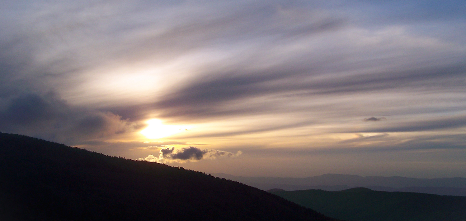
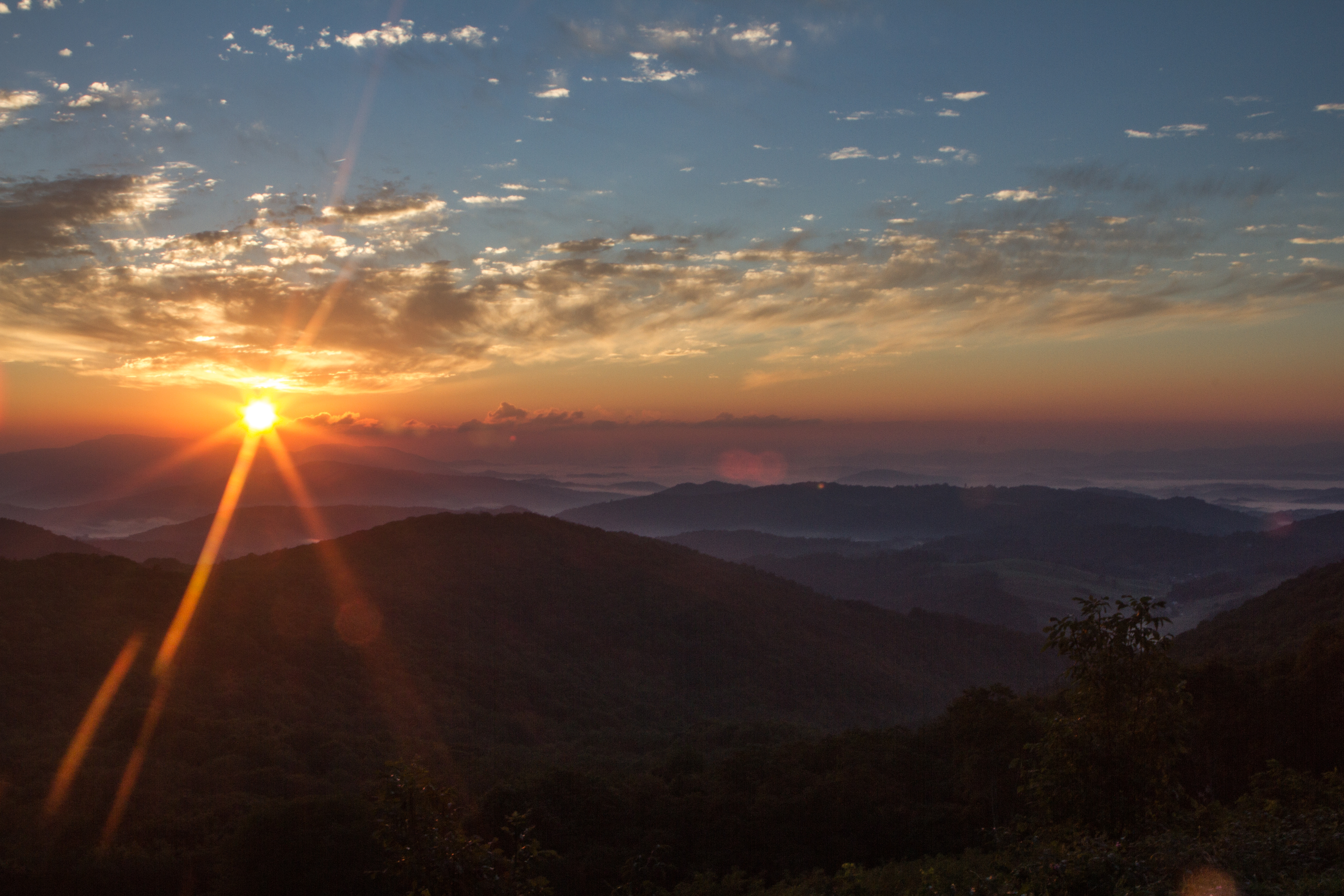
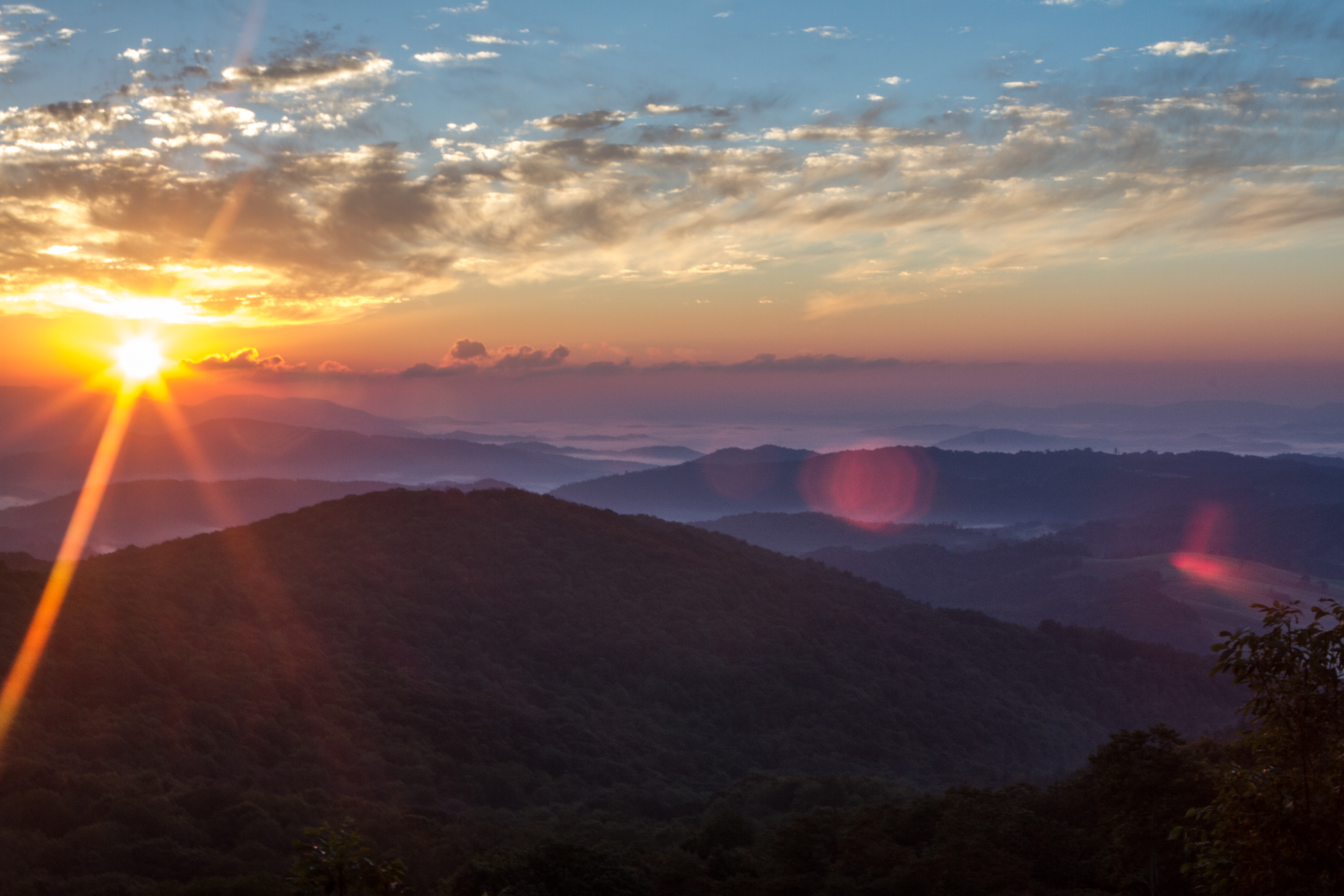
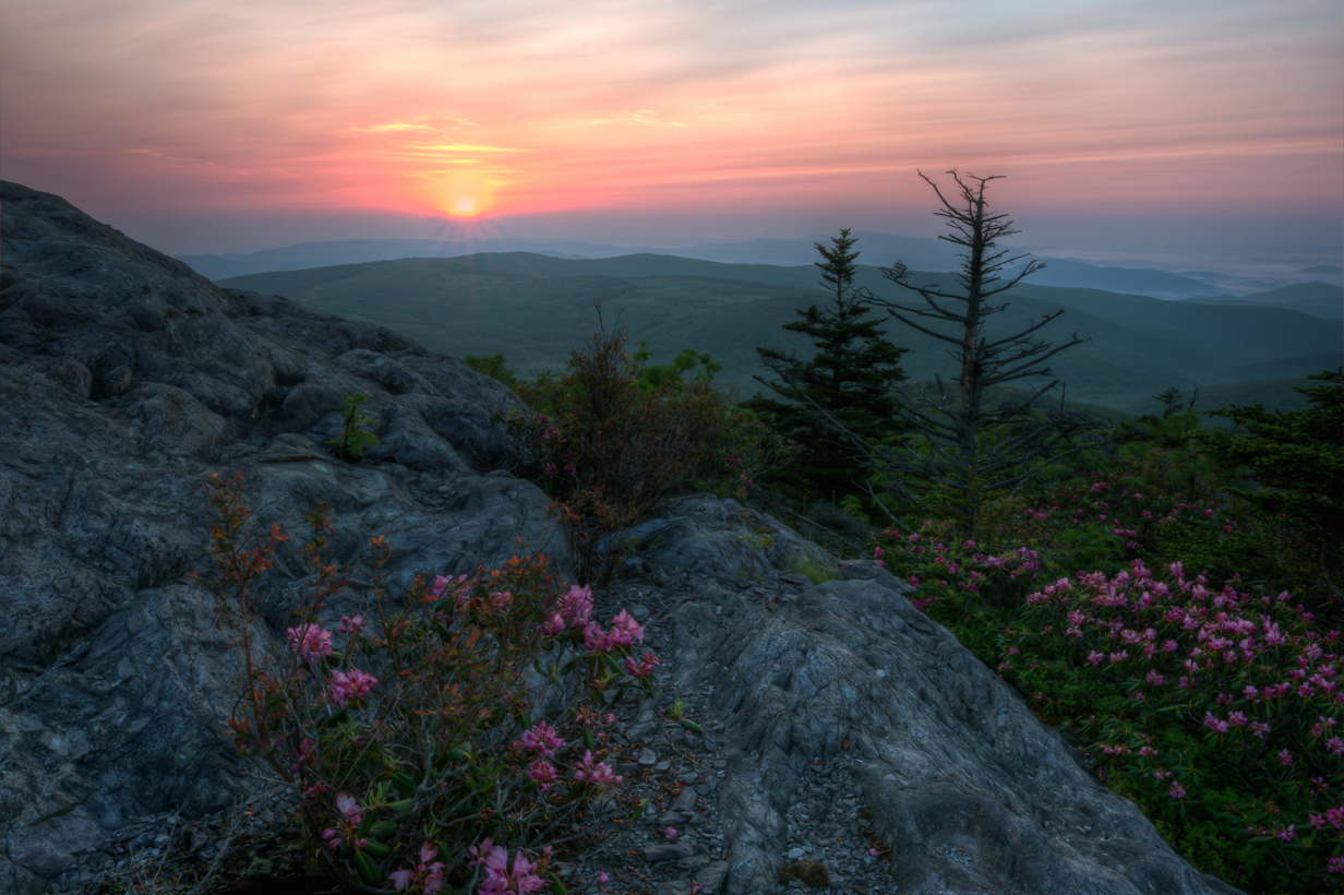
Fotos

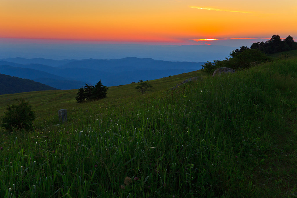
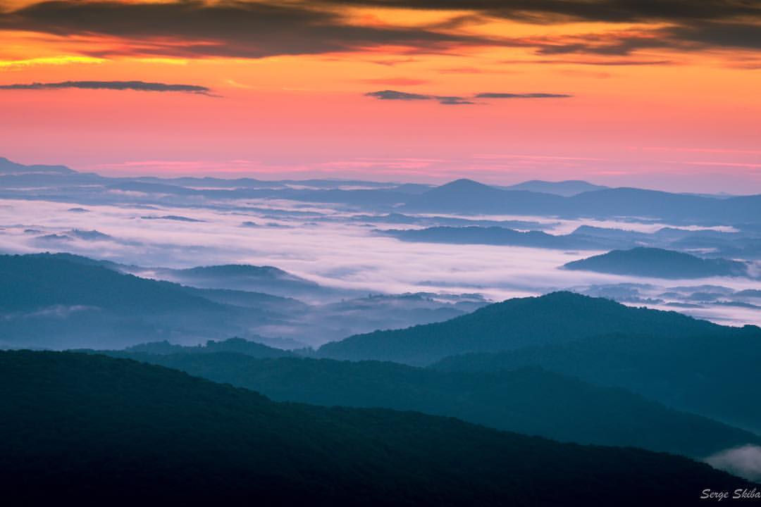
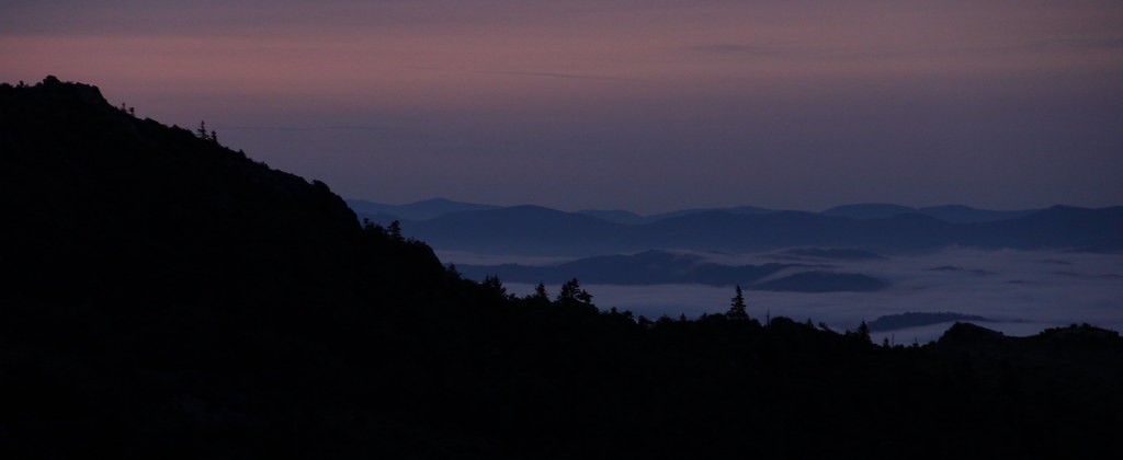
Wilburn Ridge Sunset

Wilburn Ridge Sunrise
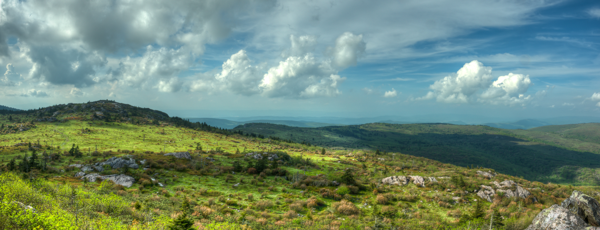
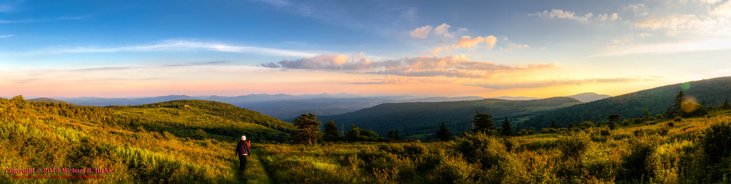
Wilburn Ridge Pano

Grayson Highlands Sunset

Wilburn Ridge Sunset
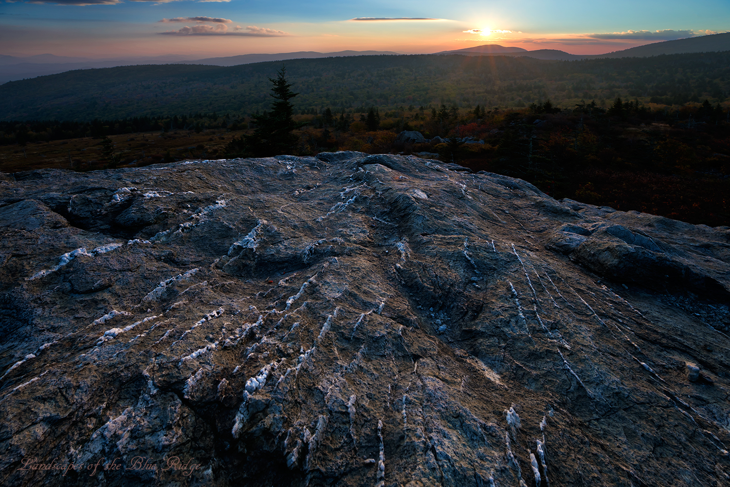
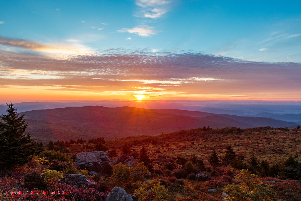
Sunset on White Top
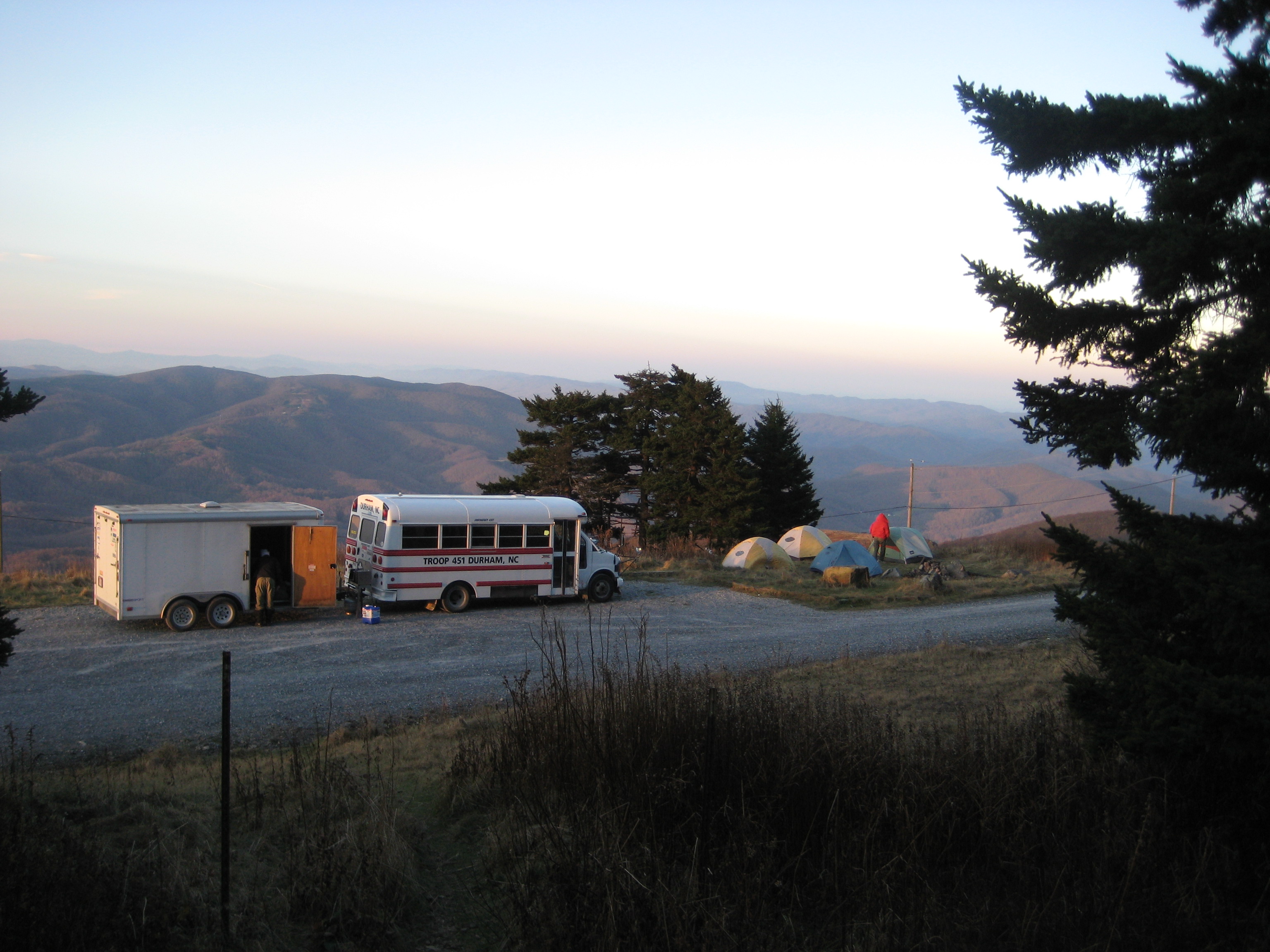
Mt Rogers Backpack - On the AT - Golden Hour at Thomas Knob - July 5, 2014

Nuclear Blast

Sunset on White Top
Right This Way
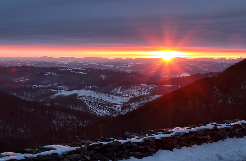
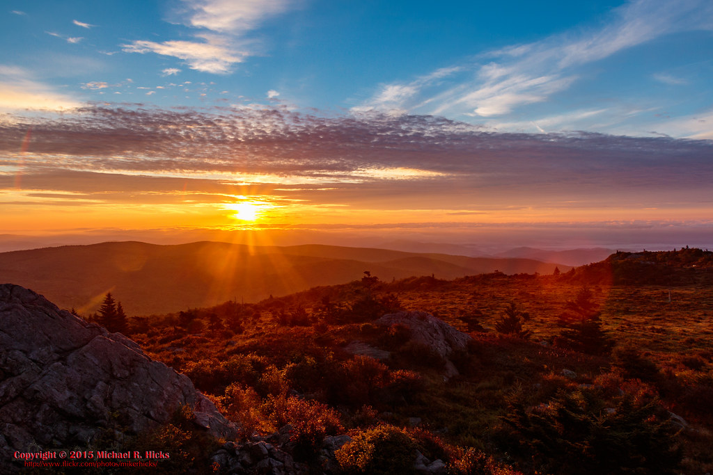
Mt Rogers Sunset

Sunset Over Mt Rogers
IMG_9073.jpg
IMG_9071.jpg
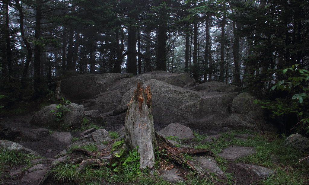
Tough Times

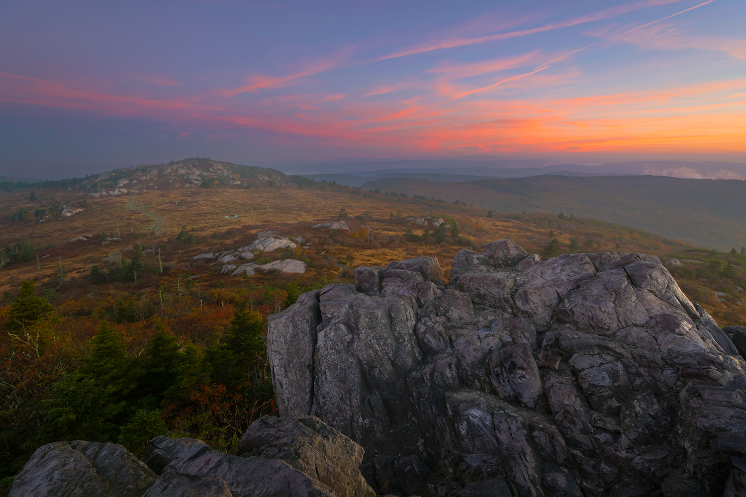
Sunset from Pine Mountain
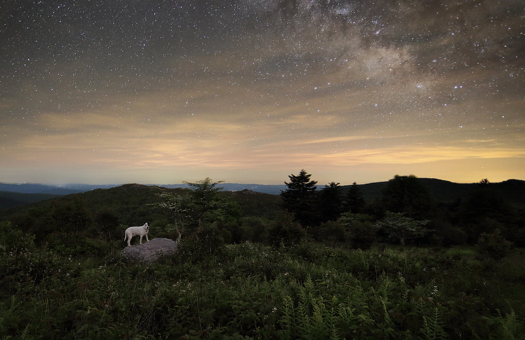
Starry Starry Evening

Those late evening skies in the mountains ♡ #optoutside #everytrailconnects #skylovers #virginia#girlswhohike#ladiesgoneglobal #welivetoexplore#outdoorwomen #outdoorlife #radgirlslife#lifeofadventure #adventurethatislife#neverstopexploring #outdooradventu

grayson hiker sunset
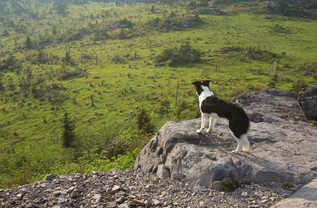
The Herding Instinct

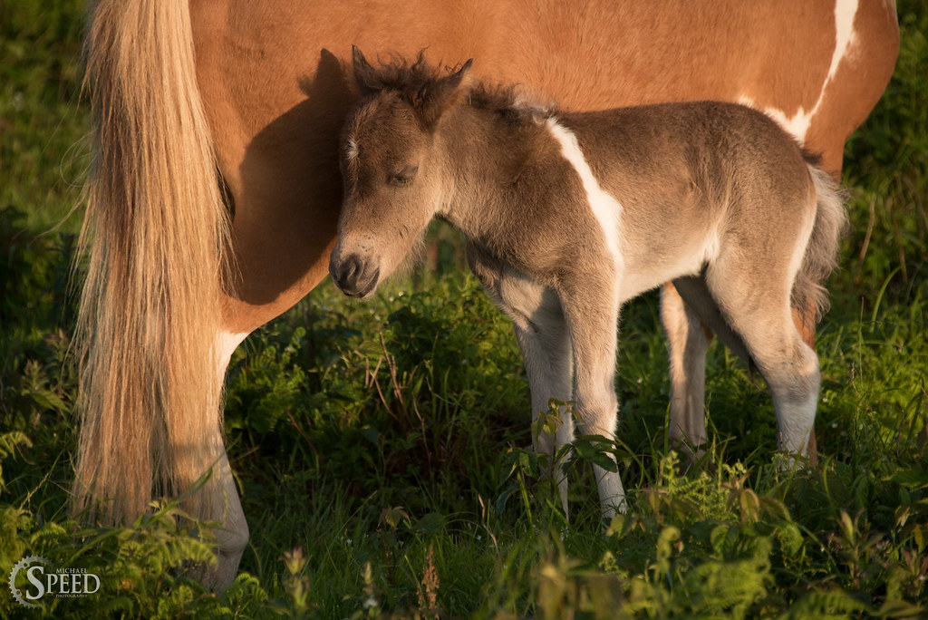
Mountain pony

Wilburn Ridge Trail
Morning on Wilburn Ridge

Mt Rogers Backpack - Sunrise on Thomas Knob - July 6, 2014
Grayson Sunrise
#sunrise at #graysonhighlands this past weekend from our camp site. Why camp? Because I never stayed in a hotel with this kind of endless view for free. #wildlycreative #blueridgeday #loveva #naturalvirginia

We found natures recliner. This was the bet seat in this house for an amazing sunrise. BL, Tony, @andrewwible, and I greeting a new day of adventure along the #appalachiantrail at #graysonhighlands #backpackermag #rei1440project

Mount Rogers Sunrise 3
Mount Rogers Summit through sunrise fog
Mount Rogers Sunrise 1
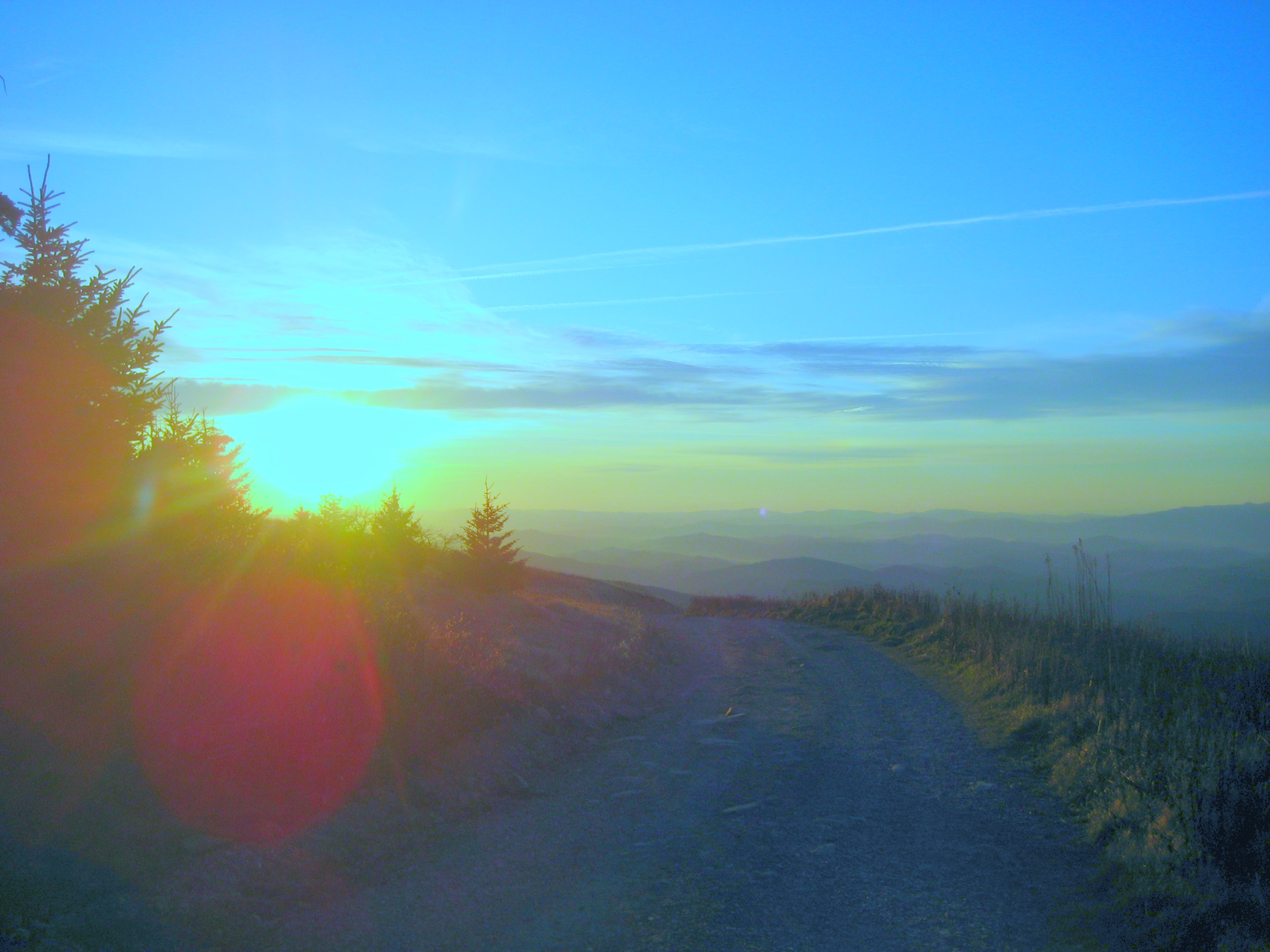
Sunrise on Whitetop Mountain

Mount Rogers Sunrise 4
Sunrise on Whitetop Mountain
Havin' trouble waking up...
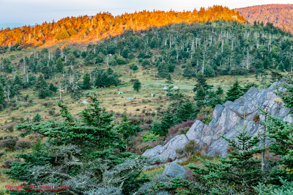
Mt Rogers Backpack Day 3 - Sunrise on Rhododendron Gap
Mt Rogers Backpack Day 3 - Sunrise on Rhododendron Gap

Mt Rogers Backpack Day 3 - Sunrise on Rhododendron Gap
Mt Rogers Backpack Day 3 - Sunrise on Rhododendron Gap

Mt Rogers Backpack Day 3 - Sunrise on Rhododendron Gap
Mapa de Whitetop Mountain, Wilson Creek, VA, EE. UU.
Buscar otro lugar
Lugares cercanos
Highlands Pkwy, Whitetop, VA, EE. UU.
Whitetop Rd, Troutdale, VA, EE. UU.
Wilburn Road, Wilburn Rd, Taylor, VA, EE. UU.
Old Park Rd, Whitetop, VA, EE. UU.
Azen Rd, Damascus, VA, EE. UU.
Big Hill, Taylor, VA, EE. UU.
Whitetop Rd, Troutdale, VA, EE. UU.
Bluff Ln, Whitetop, VA, EE. UU.
Whitetop, VA, EE. UU.
Konnarock, Taylor, VA, EE. UU.
Azen Rd, Damascus, VA, EE. UU.
Konnarock, VA, EE. UU.
Laurel Valley Rd, Troutdale, VA, EE. UU.
Beadwood Ln, Damascus, VA, EE. UU.
Rhymer Rd, Damascus, VA, EE. UU.
Rhymer Rd, Damascus, VA, EE. UU.
Rhymer Rd, Damascus, VA, EE. UU.
Rhymer Rd, Damascus, VA, EE. UU.
Ridgley Road, Ridgley Rd, Wilson Creek, VA, EE. UU.
Rhymer Road, Rhymer Rd, Damascus, VA, EE. UU.
Búsquedas recientes
- Horas de salida y puesta de sol de Red Dog Mine, AK, USA
- Horas de salida y puesta de sol de Am Bahnhof, Am bhf, Borken, Germany
- Horas de salida y puesta de sol de 4th St E, Sonoma, CA, EE. UU.
- Horas de salida y puesta de sol de Oakland Ave, Williamsport, PA, EE. UU.
- Horas de salida y puesta de sol de Via Roma, Pieranica CR, Italia
- Horas de salida y puesta de sol de Torre del reloj, Grad, Dubrovnik (Ragusa), Croacia
- Horas de salida y puesta de sol de Trelew, Chubut, Argentina
- Horas de salida y puesta de sol de Hartfords Bluff Cir, Mt Pleasant, SC, EE. UU.
- Horas de salida y puesta de sol de Kita Ward, Kumamoto, Japón
- Horas de salida y puesta de sol de Pingtan Island, Pingtan County, Fuzhou, China