Horas de salida y puesta de sol de Wheatfield Rd, Franklin, NC, EE. UU.
Location: Estados Unidos > Carolina del Norte > Condado de Macon > Franklin > Franklin >
Zona horaria:
America/New_York
Hora local:
2025-06-29 08:50:12
Longitud:
-83.3275216
Latitud:
35.0755134
Salida de sol de hoy:
06:22:16 AM
Puesta de sol de hoy:
08:51:38 PM
La duración del día hoy:
14h 29m 22s
Salida de sol de mañana:
06:22:41 AM
Puesta de sol de mañana:
08:51:36 PM
La duración del día mañana:
14h 28m 55s
Mostrar todas las fechas
| Fecha | Salida de sol | Puesta de sol | Duración del día |
|---|---|---|---|
| 01/01/2025 | 07:41:36 AM | 05:33:15 PM | 9h 51m 39s |
| 02/01/2025 | 07:41:44 AM | 05:34:03 PM | 9h 52m 19s |
| 03/01/2025 | 07:41:50 AM | 05:34:51 PM | 9h 53m 1s |
| 04/01/2025 | 07:41:54 AM | 05:35:41 PM | 9h 53m 47s |
| 05/01/2025 | 07:41:56 AM | 05:36:32 PM | 9h 54m 36s |
| 06/01/2025 | 07:41:56 AM | 05:37:23 PM | 9h 55m 27s |
| 07/01/2025 | 07:41:54 AM | 05:38:16 PM | 9h 56m 22s |
| 08/01/2025 | 07:41:50 AM | 05:39:09 PM | 9h 57m 19s |
| 09/01/2025 | 07:41:45 AM | 05:40:04 PM | 9h 58m 19s |
| 10/01/2025 | 07:41:37 AM | 05:40:59 PM | 9h 59m 22s |
| 11/01/2025 | 07:41:28 AM | 05:41:54 PM | 10h 0m 26s |
| 12/01/2025 | 07:41:16 AM | 05:42:51 PM | 10h 1m 35s |
| 13/01/2025 | 07:41:03 AM | 05:43:48 PM | 10h 2m 45s |
| 14/01/2025 | 07:40:48 AM | 05:44:45 PM | 10h 3m 57s |
| 15/01/2025 | 07:40:31 AM | 05:45:44 PM | 10h 5m 13s |
| 16/01/2025 | 07:40:12 AM | 05:46:42 PM | 10h 6m 30s |
| 17/01/2025 | 07:39:51 AM | 05:47:41 PM | 10h 7m 50s |
| 18/01/2025 | 07:39:28 AM | 05:48:41 PM | 10h 9m 13s |
| 19/01/2025 | 07:39:03 AM | 05:49:41 PM | 10h 10m 38s |
| 20/01/2025 | 07:38:37 AM | 05:50:41 PM | 10h 12m 4s |
| 21/01/2025 | 07:38:09 AM | 05:51:41 PM | 10h 13m 32s |
| 22/01/2025 | 07:37:39 AM | 05:52:42 PM | 10h 15m 3s |
| 23/01/2025 | 07:37:07 AM | 05:53:43 PM | 10h 16m 36s |
| 24/01/2025 | 07:36:34 AM | 05:54:44 PM | 10h 18m 10s |
| 25/01/2025 | 07:35:59 AM | 05:55:45 PM | 10h 19m 46s |
| 26/01/2025 | 07:35:22 AM | 05:56:46 PM | 10h 21m 24s |
| 27/01/2025 | 07:34:43 AM | 05:57:48 PM | 10h 23m 5s |
| 28/01/2025 | 07:34:03 AM | 05:58:49 PM | 10h 24m 46s |
| 29/01/2025 | 07:33:21 AM | 05:59:50 PM | 10h 26m 29s |
| 30/01/2025 | 07:32:38 AM | 06:00:51 PM | 10h 28m 13s |
| 31/01/2025 | 07:31:53 AM | 06:01:53 PM | 10h 30m 0s |
| 01/02/2025 | 07:31:07 AM | 06:02:54 PM | 10h 31m 47s |
| 02/02/2025 | 07:30:19 AM | 06:03:55 PM | 10h 33m 36s |
| 03/02/2025 | 07:29:29 AM | 06:04:56 PM | 10h 35m 27s |
| 04/02/2025 | 07:28:38 AM | 06:05:56 PM | 10h 37m 18s |
| 05/02/2025 | 07:27:46 AM | 06:06:57 PM | 10h 39m 11s |
| 06/02/2025 | 07:26:52 AM | 06:07:57 PM | 10h 41m 5s |
| 07/02/2025 | 07:25:57 AM | 06:08:57 PM | 10h 43m 0s |
| 08/02/2025 | 07:25:00 AM | 06:09:57 PM | 10h 44m 57s |
| 09/02/2025 | 07:24:03 AM | 06:10:57 PM | 10h 46m 54s |
| 10/02/2025 | 07:23:03 AM | 06:11:56 PM | 10h 48m 53s |
| 11/02/2025 | 07:22:03 AM | 06:12:55 PM | 10h 50m 52s |
| 12/02/2025 | 07:21:02 AM | 06:13:54 PM | 10h 52m 52s |
| 13/02/2025 | 07:19:59 AM | 06:14:53 PM | 10h 54m 54s |
| 14/02/2025 | 07:18:55 AM | 06:15:51 PM | 10h 56m 56s |
| 15/02/2025 | 07:17:50 AM | 06:16:49 PM | 10h 58m 59s |
| 16/02/2025 | 07:16:44 AM | 06:17:46 PM | 11h 1m 2s |
| 17/02/2025 | 07:15:37 AM | 06:18:44 PM | 11h 3m 7s |
| 18/02/2025 | 07:14:29 AM | 06:19:41 PM | 11h 5m 12s |
| 19/02/2025 | 07:13:20 AM | 06:20:37 PM | 11h 7m 17s |
| 20/02/2025 | 07:12:09 AM | 06:21:33 PM | 11h 9m 24s |
| 21/02/2025 | 07:10:58 AM | 06:22:29 PM | 11h 11m 31s |
| 22/02/2025 | 07:09:46 AM | 06:23:25 PM | 11h 13m 39s |
| 23/02/2025 | 07:08:34 AM | 06:24:20 PM | 11h 15m 46s |
| 24/02/2025 | 07:07:20 AM | 06:25:15 PM | 11h 17m 55s |
| 25/02/2025 | 07:06:06 AM | 06:26:09 PM | 11h 20m 3s |
| 26/02/2025 | 07:04:50 AM | 06:27:04 PM | 11h 22m 14s |
| 27/02/2025 | 07:03:34 AM | 06:27:58 PM | 11h 24m 24s |
| 28/02/2025 | 07:02:18 AM | 06:28:51 PM | 11h 26m 33s |
| 01/03/2025 | 07:01:00 AM | 06:29:44 PM | 11h 28m 44s |
| 02/03/2025 | 06:59:42 AM | 06:30:37 PM | 11h 30m 55s |
| 03/03/2025 | 06:58:24 AM | 06:31:30 PM | 11h 33m 6s |
| 04/03/2025 | 06:57:05 AM | 06:32:22 PM | 11h 35m 17s |
| 05/03/2025 | 06:55:45 AM | 06:33:14 PM | 11h 37m 29s |
| 06/03/2025 | 06:54:25 AM | 06:34:06 PM | 11h 39m 41s |
| 07/03/2025 | 06:53:04 AM | 06:34:57 PM | 11h 41m 53s |
| 08/03/2025 | 06:51:43 AM | 06:35:49 PM | 11h 44m 6s |
| 09/03/2025 | 07:50:24 AM | 07:36:37 PM | 11h 46m 13s |
| 10/03/2025 | 07:49:02 AM | 07:37:28 PM | 11h 48m 26s |
| 11/03/2025 | 07:47:40 AM | 07:38:19 PM | 11h 50m 39s |
| 12/03/2025 | 07:46:17 AM | 07:39:09 PM | 11h 52m 52s |
| 13/03/2025 | 07:44:54 AM | 07:39:59 PM | 11h 55m 5s |
| 14/03/2025 | 07:43:31 AM | 07:40:49 PM | 11h 57m 18s |
| 15/03/2025 | 07:42:07 AM | 07:41:38 PM | 11h 59m 31s |
| 16/03/2025 | 07:40:44 AM | 07:42:28 PM | 12h 1m 44s |
| 17/03/2025 | 07:39:20 AM | 07:43:17 PM | 12h 3m 57s |
| 18/03/2025 | 07:37:55 AM | 07:44:06 PM | 12h 6m 11s |
| 19/03/2025 | 07:36:31 AM | 07:44:55 PM | 12h 8m 24s |
| 20/03/2025 | 07:35:07 AM | 07:45:44 PM | 12h 10m 37s |
| 21/03/2025 | 07:33:42 AM | 07:46:32 PM | 12h 12m 50s |
| 22/03/2025 | 07:32:18 AM | 07:47:21 PM | 12h 15m 3s |
| 23/03/2025 | 07:30:53 AM | 07:48:09 PM | 12h 17m 16s |
| 24/03/2025 | 07:29:29 AM | 07:48:58 PM | 12h 19m 29s |
| 25/03/2025 | 07:28:04 AM | 07:49:46 PM | 12h 21m 42s |
| 26/03/2025 | 07:26:40 AM | 07:50:34 PM | 12h 23m 54s |
| 27/03/2025 | 07:25:16 AM | 07:51:22 PM | 12h 26m 6s |
| 28/03/2025 | 07:23:52 AM | 07:52:10 PM | 12h 28m 18s |
| 29/03/2025 | 07:22:28 AM | 07:52:58 PM | 12h 30m 30s |
| 30/03/2025 | 07:21:04 AM | 07:53:46 PM | 12h 32m 42s |
| 31/03/2025 | 07:19:40 AM | 07:54:34 PM | 12h 34m 54s |
| 01/04/2025 | 07:18:17 AM | 07:55:22 PM | 12h 37m 5s |
| 02/04/2025 | 07:16:54 AM | 07:56:10 PM | 12h 39m 16s |
| 03/04/2025 | 07:15:31 AM | 07:56:58 PM | 12h 41m 27s |
| 04/04/2025 | 07:14:09 AM | 07:57:46 PM | 12h 43m 37s |
| 05/04/2025 | 07:12:47 AM | 07:58:34 PM | 12h 45m 47s |
| 06/04/2025 | 07:11:25 AM | 07:59:22 PM | 12h 47m 57s |
| 07/04/2025 | 07:10:04 AM | 08:00:10 PM | 12h 50m 6s |
| 08/04/2025 | 07:08:43 AM | 08:00:58 PM | 12h 52m 15s |
| 09/04/2025 | 07:07:23 AM | 08:01:46 PM | 12h 54m 23s |
| 10/04/2025 | 07:06:03 AM | 08:02:34 PM | 12h 56m 31s |
| 11/04/2025 | 07:04:44 AM | 08:03:22 PM | 12h 58m 38s |
| 12/04/2025 | 07:03:25 AM | 08:04:10 PM | 13h 0m 45s |
| 13/04/2025 | 07:02:07 AM | 08:04:58 PM | 13h 2m 51s |
| 14/04/2025 | 07:00:50 AM | 08:05:47 PM | 13h 4m 57s |
| 15/04/2025 | 06:59:33 AM | 08:06:35 PM | 13h 7m 2s |
| 16/04/2025 | 06:58:17 AM | 08:07:24 PM | 13h 9m 7s |
| 17/04/2025 | 06:57:01 AM | 08:08:12 PM | 13h 11m 11s |
| 18/04/2025 | 06:55:47 AM | 08:09:01 PM | 13h 13m 14s |
| 19/04/2025 | 06:54:33 AM | 08:09:50 PM | 13h 15m 17s |
| 20/04/2025 | 06:53:20 AM | 08:10:38 PM | 13h 17m 18s |
| 21/04/2025 | 06:52:07 AM | 08:11:27 PM | 13h 19m 20s |
| 22/04/2025 | 06:50:56 AM | 08:12:16 PM | 13h 21m 20s |
| 23/04/2025 | 06:49:45 AM | 08:13:05 PM | 13h 23m 20s |
| 24/04/2025 | 06:48:36 AM | 08:13:54 PM | 13h 25m 18s |
| 25/04/2025 | 06:47:27 AM | 08:14:43 PM | 13h 27m 16s |
| 26/04/2025 | 06:46:19 AM | 08:15:32 PM | 13h 29m 13s |
| 27/04/2025 | 06:45:13 AM | 08:16:21 PM | 13h 31m 8s |
| 28/04/2025 | 06:44:07 AM | 08:17:10 PM | 13h 33m 3s |
| 29/04/2025 | 06:43:02 AM | 08:17:59 PM | 13h 34m 57s |
| 30/04/2025 | 06:41:59 AM | 08:18:48 PM | 13h 36m 49s |
| 01/05/2025 | 06:40:56 AM | 08:19:37 PM | 13h 38m 41s |
| 02/05/2025 | 06:39:55 AM | 08:20:26 PM | 13h 40m 31s |
| 03/05/2025 | 06:38:55 AM | 08:21:15 PM | 13h 42m 20s |
| 04/05/2025 | 06:37:56 AM | 08:22:04 PM | 13h 44m 8s |
| 05/05/2025 | 06:36:58 AM | 08:22:52 PM | 13h 45m 54s |
| 06/05/2025 | 06:36:02 AM | 08:23:41 PM | 13h 47m 39s |
| 07/05/2025 | 06:35:06 AM | 08:24:29 PM | 13h 49m 23s |
| 08/05/2025 | 06:34:12 AM | 08:25:18 PM | 13h 51m 6s |
| 09/05/2025 | 06:33:20 AM | 08:26:06 PM | 13h 52m 46s |
| 10/05/2025 | 06:32:28 AM | 08:26:54 PM | 13h 54m 26s |
| 11/05/2025 | 06:31:38 AM | 08:27:42 PM | 13h 56m 4s |
| 12/05/2025 | 06:30:50 AM | 08:28:29 PM | 13h 57m 39s |
| 13/05/2025 | 06:30:02 AM | 08:29:17 PM | 13h 59m 15s |
| 14/05/2025 | 06:29:17 AM | 08:30:04 PM | 14h 0m 47s |
| 15/05/2025 | 06:28:32 AM | 08:30:50 PM | 14h 2m 18s |
| 16/05/2025 | 06:27:49 AM | 08:31:37 PM | 14h 3m 48s |
| 17/05/2025 | 06:27:08 AM | 08:32:23 PM | 14h 5m 15s |
| 18/05/2025 | 06:26:28 AM | 08:33:08 PM | 14h 6m 40s |
| 19/05/2025 | 06:25:50 AM | 08:33:54 PM | 14h 8m 4s |
| 20/05/2025 | 06:25:13 AM | 08:34:38 PM | 14h 9m 25s |
| 21/05/2025 | 06:24:38 AM | 08:35:22 PM | 14h 10m 44s |
| 22/05/2025 | 06:24:04 AM | 08:36:06 PM | 14h 12m 2s |
| 23/05/2025 | 06:23:32 AM | 08:36:49 PM | 14h 13m 17s |
| 24/05/2025 | 06:23:01 AM | 08:37:32 PM | 14h 14m 31s |
| 25/05/2025 | 06:22:32 AM | 08:38:14 PM | 14h 15m 42s |
| 26/05/2025 | 06:22:05 AM | 08:38:55 PM | 14h 16m 50s |
| 27/05/2025 | 06:21:39 AM | 08:39:35 PM | 14h 17m 56s |
| 28/05/2025 | 06:21:15 AM | 08:40:15 PM | 14h 19m 0s |
| 29/05/2025 | 06:20:53 AM | 08:40:54 PM | 14h 20m 1s |
| 30/05/2025 | 06:20:32 AM | 08:41:33 PM | 14h 21m 1s |
| 31/05/2025 | 06:20:13 AM | 08:42:10 PM | 14h 21m 57s |
| 01/06/2025 | 06:19:55 AM | 08:42:46 PM | 14h 22m 51s |
| 02/06/2025 | 06:19:39 AM | 08:43:22 PM | 14h 23m 43s |
| 03/06/2025 | 06:19:25 AM | 08:43:57 PM | 14h 24m 32s |
| 04/06/2025 | 06:19:13 AM | 08:44:30 PM | 14h 25m 17s |
| 05/06/2025 | 06:19:02 AM | 08:45:03 PM | 14h 26m 1s |
| 06/06/2025 | 06:18:53 AM | 08:45:35 PM | 14h 26m 42s |
| 07/06/2025 | 06:18:45 AM | 08:46:05 PM | 14h 27m 20s |
| 08/06/2025 | 06:18:39 AM | 08:46:35 PM | 14h 27m 56s |
| 09/06/2025 | 06:18:35 AM | 08:47:03 PM | 14h 28m 28s |
| 10/06/2025 | 06:18:32 AM | 08:47:30 PM | 14h 28m 58s |
| 11/06/2025 | 06:18:31 AM | 08:47:56 PM | 14h 29m 25s |
| 12/06/2025 | 06:18:32 AM | 08:48:20 PM | 14h 29m 48s |
| 13/06/2025 | 06:18:34 AM | 08:48:43 PM | 14h 30m 9s |
| 14/06/2025 | 06:18:37 AM | 08:49:05 PM | 14h 30m 28s |
| 15/06/2025 | 06:18:43 AM | 08:49:26 PM | 14h 30m 43s |
| 16/06/2025 | 06:18:50 AM | 08:49:45 PM | 14h 30m 55s |
| 17/06/2025 | 06:18:58 AM | 08:50:03 PM | 14h 31m 5s |
| 18/06/2025 | 06:19:08 AM | 08:50:19 PM | 14h 31m 11s |
| 19/06/2025 | 06:19:19 AM | 08:50:34 PM | 14h 31m 15s |
| 20/06/2025 | 06:19:32 AM | 08:50:47 PM | 14h 31m 15s |
| 21/06/2025 | 06:19:46 AM | 08:50:59 PM | 14h 31m 13s |
| 22/06/2025 | 06:20:02 AM | 08:51:09 PM | 14h 31m 7s |
| 23/06/2025 | 06:20:19 AM | 08:51:18 PM | 14h 30m 59s |
| 24/06/2025 | 06:20:37 AM | 08:51:25 PM | 14h 30m 48s |
| 25/06/2025 | 06:20:57 AM | 08:51:31 PM | 14h 30m 34s |
| 26/06/2025 | 06:21:18 AM | 08:51:35 PM | 14h 30m 17s |
| 27/06/2025 | 06:21:40 AM | 08:51:37 PM | 14h 29m 57s |
| 28/06/2025 | 06:22:03 AM | 08:51:38 PM | 14h 29m 35s |
| 29/06/2025 | 06:22:28 AM | 08:51:37 PM | 14h 29m 9s |
| 30/06/2025 | 06:22:54 AM | 08:51:35 PM | 14h 28m 41s |
| 01/07/2025 | 06:23:21 AM | 08:51:30 PM | 14h 28m 9s |
| 02/07/2025 | 06:23:49 AM | 08:51:24 PM | 14h 27m 35s |
| 03/07/2025 | 06:24:18 AM | 08:51:17 PM | 14h 26m 59s |
| 04/07/2025 | 06:24:48 AM | 08:51:07 PM | 14h 26m 19s |
| 05/07/2025 | 06:25:19 AM | 08:50:56 PM | 14h 25m 37s |
| 06/07/2025 | 06:25:52 AM | 08:50:44 PM | 14h 24m 52s |
| 07/07/2025 | 06:26:25 AM | 08:50:29 PM | 14h 24m 4s |
| 08/07/2025 | 06:26:59 AM | 08:50:13 PM | 14h 23m 14s |
| 09/07/2025 | 06:27:33 AM | 08:49:55 PM | 14h 22m 22s |
| 10/07/2025 | 06:28:09 AM | 08:49:36 PM | 14h 21m 27s |
| 11/07/2025 | 06:28:45 AM | 08:49:15 PM | 14h 20m 30s |
| 12/07/2025 | 06:29:23 AM | 08:48:52 PM | 14h 19m 29s |
| 13/07/2025 | 06:30:00 AM | 08:48:27 PM | 14h 18m 27s |
| 14/07/2025 | 06:30:39 AM | 08:48:01 PM | 14h 17m 22s |
| 15/07/2025 | 06:31:18 AM | 08:47:33 PM | 14h 16m 15s |
| 16/07/2025 | 06:31:58 AM | 08:47:04 PM | 14h 15m 6s |
| 17/07/2025 | 06:32:38 AM | 08:46:32 PM | 14h 13m 54s |
| 18/07/2025 | 06:33:19 AM | 08:46:00 PM | 14h 12m 41s |
| 19/07/2025 | 06:34:01 AM | 08:45:25 PM | 14h 11m 24s |
| 20/07/2025 | 06:34:42 AM | 08:44:49 PM | 14h 10m 7s |
| 21/07/2025 | 06:35:25 AM | 08:44:12 PM | 14h 8m 47s |
| 22/07/2025 | 06:36:07 AM | 08:43:33 PM | 14h 7m 26s |
| 23/07/2025 | 06:36:51 AM | 08:42:52 PM | 14h 6m 1s |
| 24/07/2025 | 06:37:34 AM | 08:42:10 PM | 14h 4m 36s |
| 25/07/2025 | 06:38:18 AM | 08:41:26 PM | 14h 3m 8s |
| 26/07/2025 | 06:39:02 AM | 08:40:41 PM | 14h 1m 39s |
| 27/07/2025 | 06:39:46 AM | 08:39:54 PM | 14h 0m 8s |
| 28/07/2025 | 06:40:31 AM | 08:39:06 PM | 13h 58m 35s |
| 29/07/2025 | 06:41:15 AM | 08:38:16 PM | 13h 57m 1s |
| 30/07/2025 | 06:42:00 AM | 08:37:25 PM | 13h 55m 25s |
| 31/07/2025 | 06:42:45 AM | 08:36:33 PM | 13h 53m 48s |
| 01/08/2025 | 06:43:31 AM | 08:35:39 PM | 13h 52m 8s |
| 02/08/2025 | 06:44:16 AM | 08:34:44 PM | 13h 50m 28s |
| 03/08/2025 | 06:45:01 AM | 08:33:48 PM | 13h 48m 47s |
| 04/08/2025 | 06:45:47 AM | 08:32:50 PM | 13h 47m 3s |
| 05/08/2025 | 06:46:33 AM | 08:31:51 PM | 13h 45m 18s |
| 06/08/2025 | 06:47:18 AM | 08:30:51 PM | 13h 43m 33s |
| 07/08/2025 | 06:48:04 AM | 08:29:50 PM | 13h 41m 46s |
| 08/08/2025 | 06:48:50 AM | 08:28:48 PM | 13h 39m 58s |
| 09/08/2025 | 06:49:35 AM | 08:27:44 PM | 13h 38m 9s |
| 10/08/2025 | 06:50:21 AM | 08:26:39 PM | 13h 36m 18s |
| 11/08/2025 | 06:51:07 AM | 08:25:33 PM | 13h 34m 26s |
| 12/08/2025 | 06:51:52 AM | 08:24:26 PM | 13h 32m 34s |
| 13/08/2025 | 06:52:38 AM | 08:23:18 PM | 13h 30m 40s |
| 14/08/2025 | 06:53:23 AM | 08:22:09 PM | 13h 28m 46s |
| 15/08/2025 | 06:54:09 AM | 08:20:59 PM | 13h 26m 50s |
| 16/08/2025 | 06:54:54 AM | 08:19:48 PM | 13h 24m 54s |
| 17/08/2025 | 06:55:40 AM | 08:18:36 PM | 13h 22m 56s |
| 18/08/2025 | 06:56:25 AM | 08:17:23 PM | 13h 20m 58s |
| 19/08/2025 | 06:57:10 AM | 08:16:10 PM | 13h 19m 0s |
| 20/08/2025 | 06:57:55 AM | 08:14:55 PM | 13h 17m 0s |
| 21/08/2025 | 06:58:40 AM | 08:13:40 PM | 13h 15m 0s |
| 22/08/2025 | 06:59:25 AM | 08:12:24 PM | 13h 12m 59s |
| 23/08/2025 | 07:00:10 AM | 08:11:07 PM | 13h 10m 57s |
| 24/08/2025 | 07:00:54 AM | 08:09:49 PM | 13h 8m 55s |
| 25/08/2025 | 07:01:39 AM | 08:08:31 PM | 13h 6m 52s |
| 26/08/2025 | 07:02:23 AM | 08:07:12 PM | 13h 4m 49s |
| 27/08/2025 | 07:03:08 AM | 08:05:52 PM | 13h 2m 44s |
| 28/08/2025 | 07:03:52 AM | 08:04:32 PM | 13h 0m 40s |
| 29/08/2025 | 07:04:36 AM | 08:03:11 PM | 12h 58m 35s |
| 30/08/2025 | 07:05:20 AM | 08:01:49 PM | 12h 56m 29s |
| 31/08/2025 | 07:06:04 AM | 08:00:27 PM | 12h 54m 23s |
| 01/09/2025 | 07:06:48 AM | 07:59:05 PM | 12h 52m 17s |
| 02/09/2025 | 07:07:32 AM | 07:57:41 PM | 12h 50m 9s |
| 03/09/2025 | 07:08:16 AM | 07:56:18 PM | 12h 48m 2s |
| 04/09/2025 | 07:09:00 AM | 07:54:54 PM | 12h 45m 54s |
| 05/09/2025 | 07:09:43 AM | 07:53:30 PM | 12h 43m 47s |
| 06/09/2025 | 07:10:27 AM | 07:52:05 PM | 12h 41m 38s |
| 07/09/2025 | 07:11:11 AM | 07:50:40 PM | 12h 39m 29s |
| 08/09/2025 | 07:11:55 AM | 07:49:15 PM | 12h 37m 20s |
| 09/09/2025 | 07:12:38 AM | 07:47:49 PM | 12h 35m 11s |
| 10/09/2025 | 07:13:22 AM | 07:46:23 PM | 12h 33m 1s |
| 11/09/2025 | 07:14:05 AM | 07:44:57 PM | 12h 30m 52s |
| 12/09/2025 | 07:14:49 AM | 07:43:31 PM | 12h 28m 42s |
| 13/09/2025 | 07:15:33 AM | 07:42:05 PM | 12h 26m 32s |
| 14/09/2025 | 07:16:17 AM | 07:40:38 PM | 12h 24m 21s |
| 15/09/2025 | 07:17:00 AM | 07:39:11 PM | 12h 22m 11s |
| 16/09/2025 | 07:17:44 AM | 07:37:45 PM | 12h 20m 1s |
| 17/09/2025 | 07:18:28 AM | 07:36:18 PM | 12h 17m 50s |
| 18/09/2025 | 07:19:12 AM | 07:34:51 PM | 12h 15m 39s |
| 19/09/2025 | 07:19:56 AM | 07:33:24 PM | 12h 13m 28s |
| 20/09/2025 | 07:20:41 AM | 07:31:57 PM | 12h 11m 16s |
| 21/09/2025 | 07:21:25 AM | 07:30:31 PM | 12h 9m 6s |
| 22/09/2025 | 07:22:09 AM | 07:29:04 PM | 12h 6m 55s |
| 23/09/2025 | 07:22:54 AM | 07:27:37 PM | 12h 4m 43s |
| 24/09/2025 | 07:23:39 AM | 07:26:11 PM | 12h 2m 32s |
| 25/09/2025 | 07:24:24 AM | 07:24:45 PM | 12h 0m 21s |
| 26/09/2025 | 07:25:09 AM | 07:23:19 PM | 11h 58m 10s |
| 27/09/2025 | 07:25:54 AM | 07:21:53 PM | 11h 55m 59s |
| 28/09/2025 | 07:26:40 AM | 07:20:28 PM | 11h 53m 48s |
| 29/09/2025 | 07:27:26 AM | 07:19:02 PM | 11h 51m 36s |
| 30/09/2025 | 07:28:12 AM | 07:17:37 PM | 11h 49m 25s |
| 01/10/2025 | 07:28:58 AM | 07:16:13 PM | 11h 47m 15s |
| 02/10/2025 | 07:29:44 AM | 07:14:49 PM | 11h 45m 5s |
| 03/10/2025 | 07:30:31 AM | 07:13:25 PM | 11h 42m 54s |
| 04/10/2025 | 07:31:18 AM | 07:12:02 PM | 11h 40m 44s |
| 05/10/2025 | 07:32:05 AM | 07:10:39 PM | 11h 38m 34s |
| 06/10/2025 | 07:32:53 AM | 07:09:17 PM | 11h 36m 24s |
| 07/10/2025 | 07:33:41 AM | 07:07:55 PM | 11h 34m 14s |
| 08/10/2025 | 07:34:29 AM | 07:06:34 PM | 11h 32m 5s |
| 09/10/2025 | 07:35:18 AM | 07:05:13 PM | 11h 29m 55s |
| 10/10/2025 | 07:36:06 AM | 07:03:53 PM | 11h 27m 47s |
| 11/10/2025 | 07:36:56 AM | 07:02:34 PM | 11h 25m 38s |
| 12/10/2025 | 07:37:45 AM | 07:01:15 PM | 11h 23m 30s |
| 13/10/2025 | 07:38:35 AM | 06:59:57 PM | 11h 21m 22s |
| 14/10/2025 | 07:39:25 AM | 06:58:40 PM | 11h 19m 15s |
| 15/10/2025 | 07:40:16 AM | 06:57:23 PM | 11h 17m 7s |
| 16/10/2025 | 07:41:07 AM | 06:56:08 PM | 11h 15m 1s |
| 17/10/2025 | 07:41:58 AM | 06:54:53 PM | 11h 12m 55s |
| 18/10/2025 | 07:42:50 AM | 06:53:39 PM | 11h 10m 49s |
| 19/10/2025 | 07:43:42 AM | 06:52:26 PM | 11h 8m 44s |
| 20/10/2025 | 07:44:34 AM | 06:51:14 PM | 11h 6m 40s |
| 21/10/2025 | 07:45:27 AM | 06:50:03 PM | 11h 4m 36s |
| 22/10/2025 | 07:46:20 AM | 06:48:53 PM | 11h 2m 33s |
| 23/10/2025 | 07:47:13 AM | 06:47:44 PM | 11h 0m 31s |
| 24/10/2025 | 07:48:07 AM | 06:46:36 PM | 10h 58m 29s |
| 25/10/2025 | 07:49:01 AM | 06:45:29 PM | 10h 56m 28s |
| 26/10/2025 | 07:49:56 AM | 06:44:23 PM | 10h 54m 27s |
| 27/10/2025 | 07:50:51 AM | 06:43:18 PM | 10h 52m 27s |
| 28/10/2025 | 07:51:46 AM | 06:42:15 PM | 10h 50m 29s |
| 29/10/2025 | 07:52:42 AM | 06:41:12 PM | 10h 48m 30s |
| 30/10/2025 | 07:53:37 AM | 06:40:12 PM | 10h 46m 35s |
| 31/10/2025 | 07:54:34 AM | 06:39:12 PM | 10h 44m 38s |
| 01/11/2025 | 07:55:30 AM | 06:38:13 PM | 10h 42m 43s |
| 02/11/2025 | 06:56:29 AM | 05:37:14 PM | 10h 40m 45s |
| 03/11/2025 | 06:57:26 AM | 05:36:18 PM | 10h 38m 52s |
| 04/11/2025 | 06:58:23 AM | 05:35:24 PM | 10h 37m 1s |
| 05/11/2025 | 06:59:21 AM | 05:34:31 PM | 10h 35m 10s |
| 06/11/2025 | 07:00:19 AM | 05:33:40 PM | 10h 33m 21s |
| 07/11/2025 | 07:01:16 AM | 05:32:50 PM | 10h 31m 34s |
| 08/11/2025 | 07:02:14 AM | 05:32:02 PM | 10h 29m 48s |
| 09/11/2025 | 07:03:13 AM | 05:31:15 PM | 10h 28m 2s |
| 10/11/2025 | 07:04:11 AM | 05:30:30 PM | 10h 26m 19s |
| 11/11/2025 | 07:05:09 AM | 05:29:46 PM | 10h 24m 37s |
| 12/11/2025 | 07:06:08 AM | 05:29:05 PM | 10h 22m 57s |
| 13/11/2025 | 07:07:06 AM | 05:28:24 PM | 10h 21m 18s |
| 14/11/2025 | 07:08:05 AM | 05:27:46 PM | 10h 19m 41s |
| 15/11/2025 | 07:09:03 AM | 05:27:09 PM | 10h 18m 6s |
| 16/11/2025 | 07:10:02 AM | 05:26:34 PM | 10h 16m 32s |
| 17/11/2025 | 07:11:00 AM | 05:26:00 PM | 10h 15m 0s |
| 18/11/2025 | 07:11:58 AM | 05:25:29 PM | 10h 13m 31s |
| 19/11/2025 | 07:12:56 AM | 05:24:59 PM | 10h 12m 3s |
| 20/11/2025 | 07:13:54 AM | 05:24:31 PM | 10h 10m 37s |
| 21/11/2025 | 07:14:52 AM | 05:24:05 PM | 10h 9m 13s |
| 22/11/2025 | 07:15:49 AM | 05:23:40 PM | 10h 7m 51s |
| 23/11/2025 | 07:16:46 AM | 05:23:18 PM | 10h 6m 32s |
| 24/11/2025 | 07:17:43 AM | 05:22:58 PM | 10h 5m 15s |
| 25/11/2025 | 07:18:39 AM | 05:22:39 PM | 10h 4m 0s |
| 26/11/2025 | 07:19:34 AM | 05:22:22 PM | 10h 2m 48s |
| 27/11/2025 | 07:20:30 AM | 05:22:07 PM | 10h 1m 37s |
| 28/11/2025 | 07:21:24 AM | 05:21:55 PM | 10h 0m 31s |
| 29/11/2025 | 07:22:19 AM | 05:21:44 PM | 9h 59m 25s |
| 30/11/2025 | 07:23:12 AM | 05:21:35 PM | 9h 58m 23s |
| 01/12/2025 | 07:24:05 AM | 05:21:28 PM | 9h 57m 23s |
| 02/12/2025 | 07:24:57 AM | 05:21:23 PM | 9h 56m 26s |
| 03/12/2025 | 07:25:48 AM | 05:21:20 PM | 9h 55m 32s |
| 04/12/2025 | 07:26:39 AM | 05:21:19 PM | 9h 54m 40s |
| 05/12/2025 | 07:27:28 AM | 05:21:20 PM | 9h 53m 52s |
| 06/12/2025 | 07:28:17 AM | 05:21:22 PM | 9h 53m 5s |
| 07/12/2025 | 07:29:05 AM | 05:21:27 PM | 9h 52m 22s |
| 08/12/2025 | 07:29:51 AM | 05:21:34 PM | 9h 51m 43s |
| 09/12/2025 | 07:30:37 AM | 05:21:43 PM | 9h 51m 6s |
| 10/12/2025 | 07:31:21 AM | 05:21:53 PM | 9h 50m 32s |
| 11/12/2025 | 07:32:05 AM | 05:22:06 PM | 9h 50m 1s |
| 12/12/2025 | 07:32:47 AM | 05:22:20 PM | 9h 49m 33s |
| 13/12/2025 | 07:33:28 AM | 05:22:36 PM | 9h 49m 8s |
| 14/12/2025 | 07:34:07 AM | 05:22:54 PM | 9h 48m 47s |
| 15/12/2025 | 07:34:45 AM | 05:23:14 PM | 9h 48m 29s |
| 16/12/2025 | 07:35:22 AM | 05:23:36 PM | 9h 48m 14s |
| 17/12/2025 | 07:35:58 AM | 05:23:59 PM | 9h 48m 1s |
| 18/12/2025 | 07:36:32 AM | 05:24:25 PM | 9h 47m 53s |
| 19/12/2025 | 07:37:04 AM | 05:24:52 PM | 9h 47m 48s |
| 20/12/2025 | 07:37:35 AM | 05:25:20 PM | 9h 47m 45s |
| 21/12/2025 | 07:38:04 AM | 05:25:51 PM | 9h 47m 47s |
| 22/12/2025 | 07:38:32 AM | 05:26:23 PM | 9h 47m 51s |
| 23/12/2025 | 07:38:58 AM | 05:26:56 PM | 9h 47m 58s |
| 24/12/2025 | 07:39:22 AM | 05:27:31 PM | 9h 48m 9s |
| 25/12/2025 | 07:39:45 AM | 05:28:08 PM | 9h 48m 23s |
| 26/12/2025 | 07:40:06 AM | 05:28:46 PM | 9h 48m 40s |
| 27/12/2025 | 07:40:25 AM | 05:29:26 PM | 9h 49m 1s |
| 28/12/2025 | 07:40:42 AM | 05:30:07 PM | 9h 49m 25s |
| 29/12/2025 | 07:40:58 AM | 05:30:49 PM | 9h 49m 51s |
| 30/12/2025 | 07:41:12 AM | 05:31:33 PM | 9h 50m 21s |
| 31/12/2025 | 07:41:24 AM | 05:32:17 PM | 9h 50m 53s |
Fotos

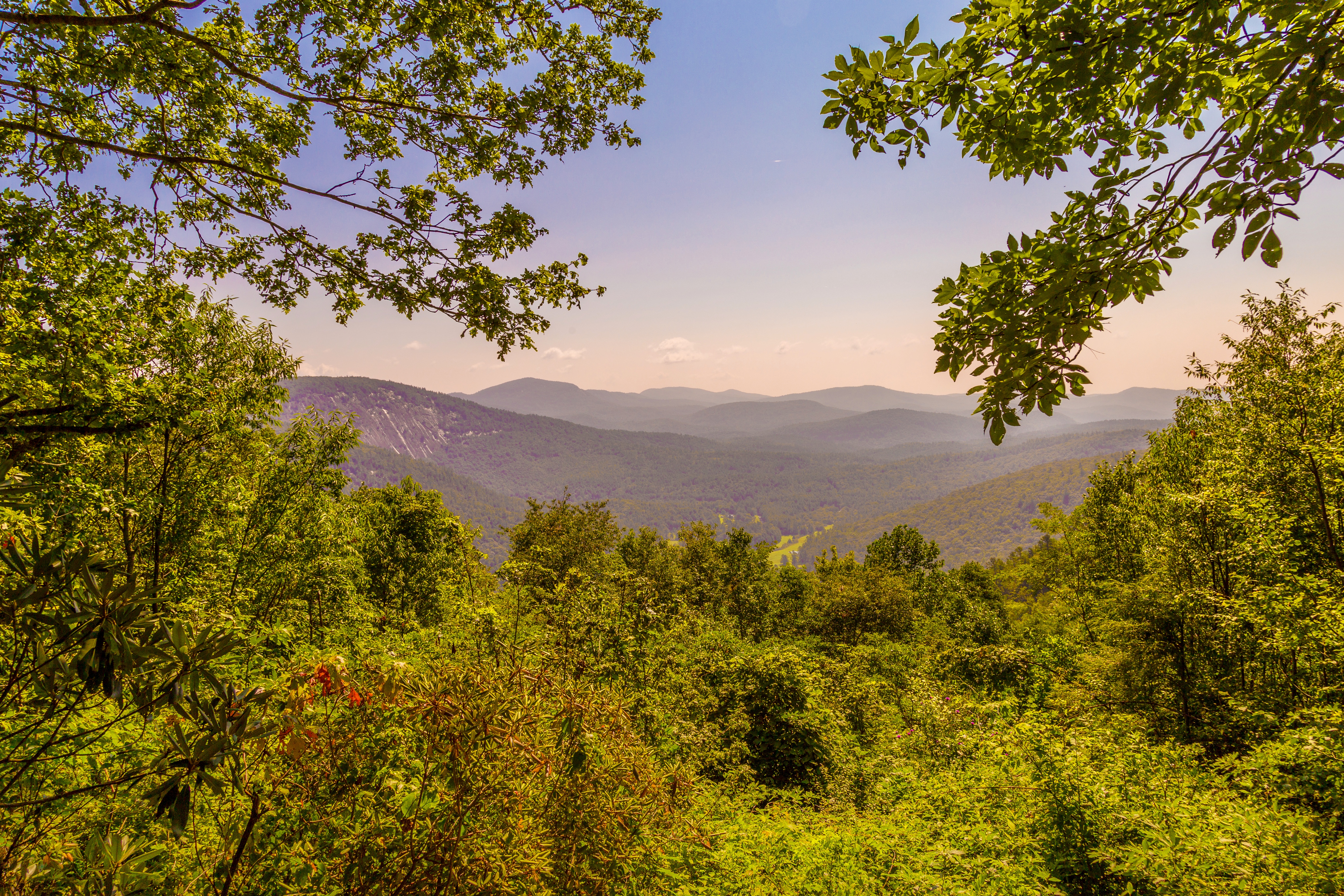
Whiteside Mountain, Bearpen Mountain, and Nantahala Game Lands in Jackson County, North Carolina
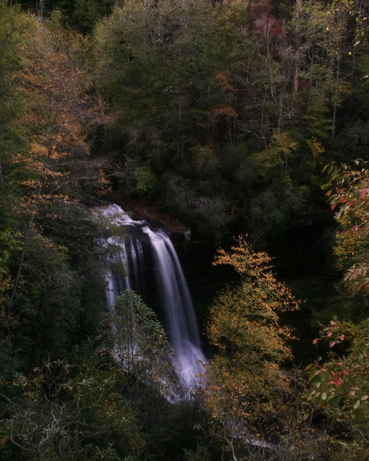
Falls color
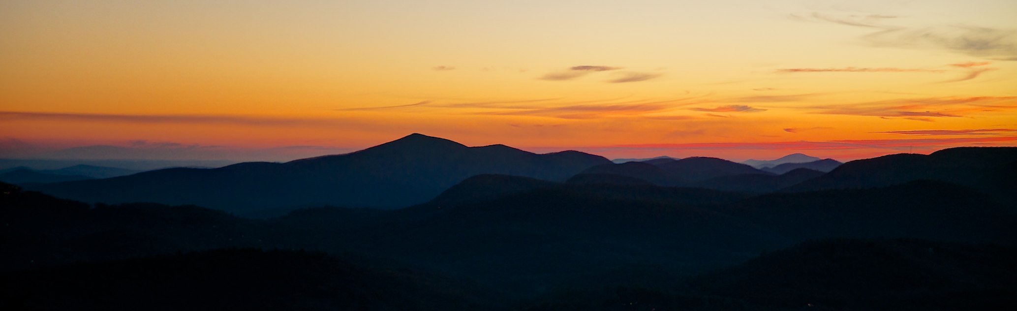
Sunset from Shortoff Mountain
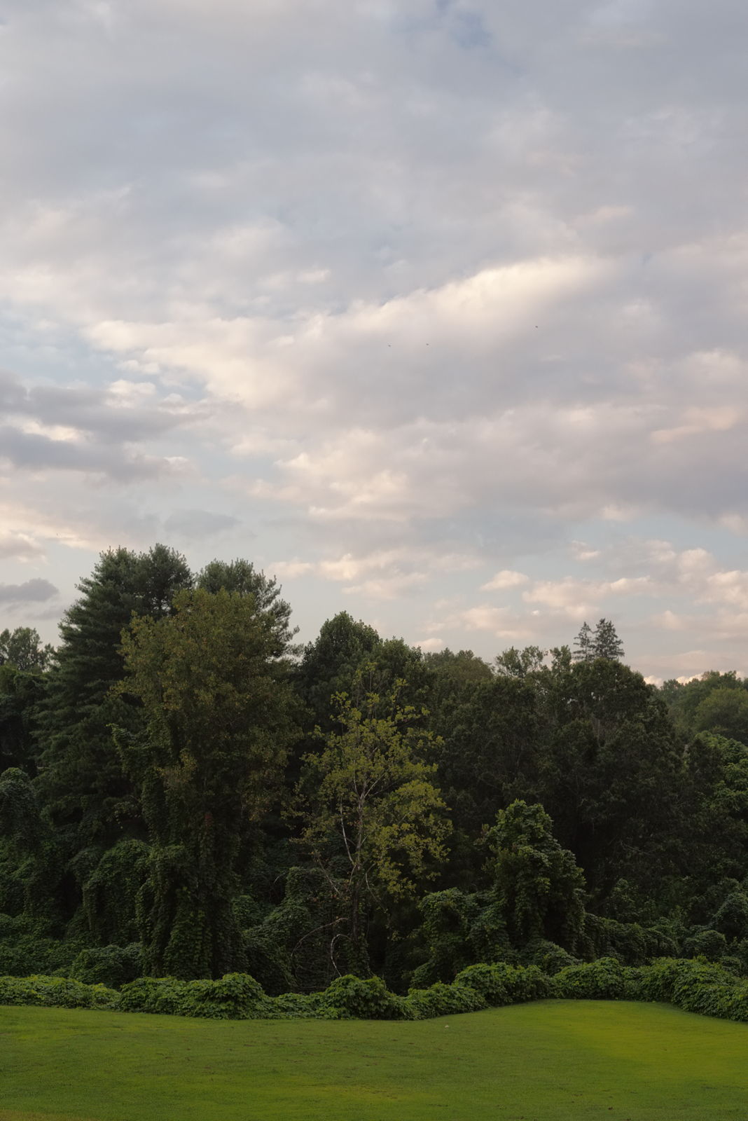
Topiary garden

Sunset Rock - Highlands, NC

Full Moon
Betty's Creek Road - Rabun Co, Ga.

climbing over Highlands

It’s always worth the walk up to Sunset Rock.

sunset, October 27, 2012, from Satulah Mountain, Highlands-Cashiers Land Trust, Macon County, North Carolina 2
Is Cloud City out there somewhere?

The Pouting Boxer

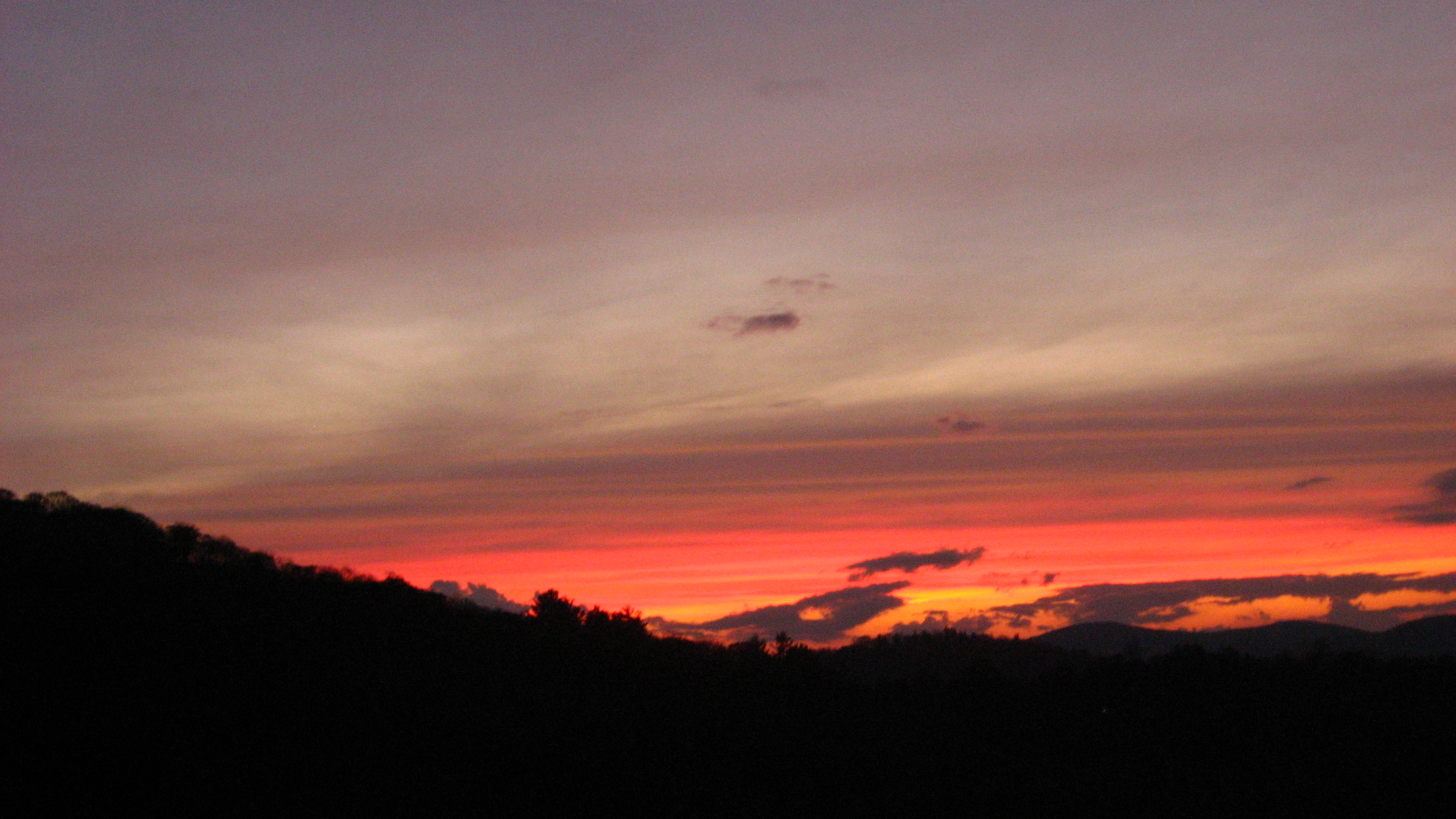
North Georgia Sunset

Up At SunSet

Late autumn sunset.

Mountain Side

sunset, October 27, 2012, from Satulah Mountain, Highlands-Cashiers Land Trust, Macon County, North Carolina 1

Sunset Rock

Veterans' Day, observed.

Say what?

Sun’s pyre across the Nantahala Mountains.
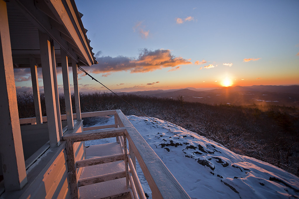
Sunrise Point. Highlands, NC

Sunrise Rock
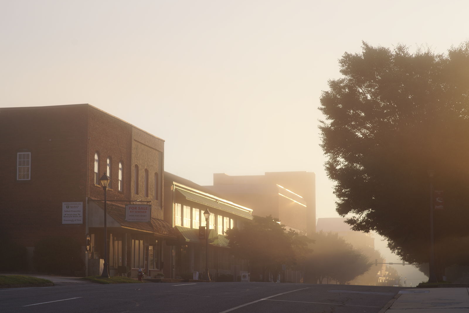
Morning on Main Street

Dry Falls at Dawn

Late day shadow on Horse Cove.
Yellow Mountian

Hazy sunrise.

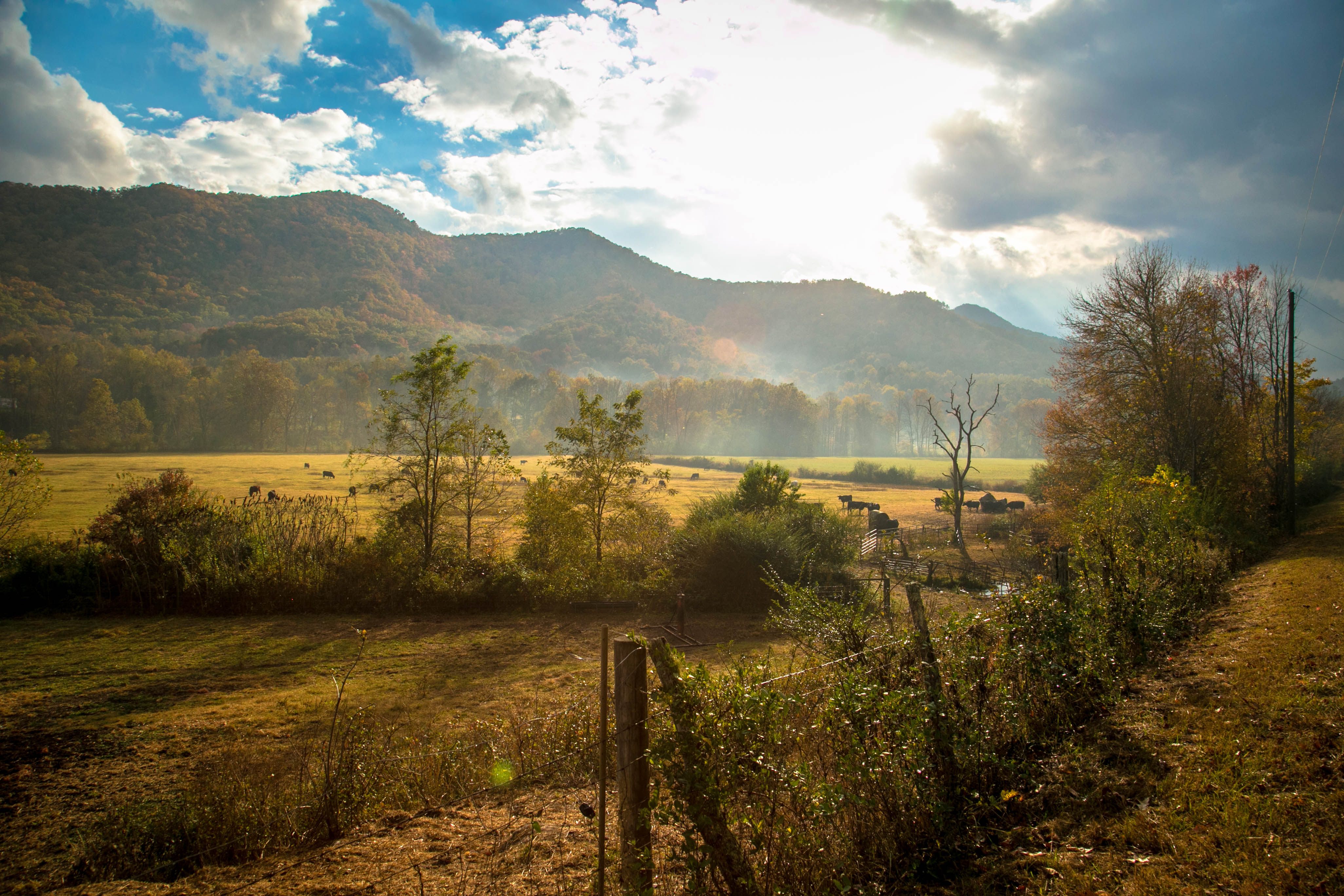
Mountain Sunrise

Good morning.

A new day.

Fire Mountain B&B

Sunrise over the Western North Carolina...
Mapa de Wheatfield Rd, Franklin, NC, EE. UU.
Buscar otro lugar
Lugares cercanos
Bear Back Ridge Rd, Franklin, NC, EE. UU.
95 Cal's Cove Rd, Franklin, NC, EE. UU.
Cal's Cove Rd, Franklin, NC, EE. UU.
Cal's Cove Rd, Franklin, NC, EE. UU.
Tessentee Woods Rd, Franklin, NC, EE. UU.
Tessentee Woods Rd, Franklin, NC, EE. UU.
Buckeye Branch Road, Buckeye Branch Rd, Smithbridge, NC, EE. UU.
Tessentee Woods Rd, Franklin, NC, EE. UU.
Red Cedar Ln, Franklin, NC, EE. UU.
State Rd, Franklin, NC, EE. UU.
Buckeye Branch Rd, Franklin, NC, EE. UU.
Evans Creek Rd, Franklin, NC, EE. UU.
Kooi Ln, Franklin, NC, EE. UU.
Evans Creek Rd, Franklin, NC, EE. UU.
Buck Knob Rd, Franklin, NC, EE. UU.
Buck Knob Rd, Scaly Mountain, NC, EE. UU.
Lake Charles Rd, Franklin, NC, EE. UU.
Buck Knob Rd, Scaly Mountain, NC, EE. UU.
Tessentee Rd, Franklin, NC, EE. UU.
Windy Ridge Rd, Otto, NC, EE. UU.
Búsquedas recientes
- Horas de salida y puesta de sol de Red Dog Mine, AK, USA
- Horas de salida y puesta de sol de Am Bahnhof, Am bhf, Borken, Germany
- Horas de salida y puesta de sol de 4th St E, Sonoma, CA, EE. UU.
- Horas de salida y puesta de sol de Oakland Ave, Williamsport, PA, EE. UU.
- Horas de salida y puesta de sol de Via Roma, Pieranica CR, Italia
- Horas de salida y puesta de sol de Torre del reloj, Grad, Dubrovnik (Ragusa), Croacia
- Horas de salida y puesta de sol de Trelew, Chubut, Argentina
- Horas de salida y puesta de sol de Hartfords Bluff Cir, Mt Pleasant, SC, EE. UU.
- Horas de salida y puesta de sol de Kita Ward, Kumamoto, Japón
- Horas de salida y puesta de sol de Pingtan Island, Pingtan County, Fuzhou, China