Horas de salida y puesta de sol de W Ridge Rd, Piney Creek, NC, EE. UU.
Location: Estados Unidos > Carolina del Norte > Condado de Alleghany > Municipio de Gap Civil > Sparta >
Zona horaria:
America/New_York
Hora local:
2025-07-02 15:38:15
Longitud:
-81.3074703
Latitud:
36.5673628
Salida de sol de hoy:
06:11:50 AM
Puesta de sol de hoy:
08:47:24 PM
La duración del día hoy:
14h 35m 34s
Salida de sol de mañana:
06:12:21 AM
Puesta de sol de mañana:
08:47:15 PM
La duración del día mañana:
14h 34m 54s
Mostrar todas las fechas
| Fecha | Salida de sol | Puesta de sol | Duración del día |
|---|---|---|---|
| 01/01/2025 | 07:37:26 AM | 05:21:16 PM | 9h 43m 50s |
| 02/01/2025 | 07:37:32 AM | 05:22:04 PM | 9h 44m 32s |
| 03/01/2025 | 07:37:37 AM | 05:22:54 PM | 9h 45m 17s |
| 04/01/2025 | 07:37:39 AM | 05:23:46 PM | 9h 46m 7s |
| 05/01/2025 | 07:37:40 AM | 05:24:38 PM | 9h 46m 58s |
| 06/01/2025 | 07:37:38 AM | 05:25:31 PM | 9h 47m 53s |
| 07/01/2025 | 07:37:35 AM | 05:26:25 PM | 9h 48m 50s |
| 08/01/2025 | 07:37:29 AM | 05:27:20 PM | 9h 49m 51s |
| 09/01/2025 | 07:37:22 AM | 05:28:17 PM | 9h 50m 55s |
| 10/01/2025 | 07:37:12 AM | 05:29:13 PM | 9h 52m 1s |
| 11/01/2025 | 07:37:01 AM | 05:30:11 PM | 9h 53m 10s |
| 12/01/2025 | 07:36:47 AM | 05:31:10 PM | 9h 54m 23s |
| 13/01/2025 | 07:36:32 AM | 05:32:09 PM | 9h 55m 37s |
| 14/01/2025 | 07:36:14 AM | 05:33:09 PM | 9h 56m 55s |
| 15/01/2025 | 07:35:55 AM | 05:34:09 PM | 9h 58m 14s |
| 16/01/2025 | 07:35:34 AM | 05:35:10 PM | 9h 59m 36s |
| 17/01/2025 | 07:35:10 AM | 05:36:12 PM | 10h 1m 2s |
| 18/01/2025 | 07:34:45 AM | 05:37:14 PM | 10h 2m 29s |
| 19/01/2025 | 07:34:18 AM | 05:38:16 PM | 10h 3m 58s |
| 20/01/2025 | 07:33:49 AM | 05:39:19 PM | 10h 5m 30s |
| 21/01/2025 | 07:33:18 AM | 05:40:22 PM | 10h 7m 4s |
| 22/01/2025 | 07:32:46 AM | 05:41:25 PM | 10h 8m 39s |
| 23/01/2025 | 07:32:11 AM | 05:42:29 PM | 10h 10m 18s |
| 24/01/2025 | 07:31:35 AM | 05:43:33 PM | 10h 11m 58s |
| 25/01/2025 | 07:30:57 AM | 05:44:37 PM | 10h 13m 40s |
| 26/01/2025 | 07:30:17 AM | 05:45:41 PM | 10h 15m 24s |
| 27/01/2025 | 07:29:36 AM | 05:46:45 PM | 10h 17m 9s |
| 28/01/2025 | 07:28:53 AM | 05:47:50 PM | 10h 18m 57s |
| 29/01/2025 | 07:28:08 AM | 05:48:54 PM | 10h 20m 46s |
| 30/01/2025 | 07:27:21 AM | 05:49:59 PM | 10h 22m 38s |
| 31/01/2025 | 07:26:33 AM | 05:51:03 PM | 10h 24m 30s |
| 01/02/2025 | 07:25:43 AM | 05:52:07 PM | 10h 26m 24s |
| 02/02/2025 | 07:24:52 AM | 05:53:12 PM | 10h 28m 20s |
| 03/02/2025 | 07:23:59 AM | 05:54:16 PM | 10h 30m 17s |
| 04/02/2025 | 07:23:05 AM | 05:55:20 PM | 10h 32m 15s |
| 05/02/2025 | 07:22:10 AM | 05:56:24 PM | 10h 34m 14s |
| 06/02/2025 | 07:21:12 AM | 05:57:27 PM | 10h 36m 15s |
| 07/02/2025 | 07:20:14 AM | 05:58:31 PM | 10h 38m 17s |
| 08/02/2025 | 07:19:14 AM | 05:59:34 PM | 10h 40m 20s |
| 09/02/2025 | 07:18:13 AM | 06:00:37 PM | 10h 42m 24s |
| 10/02/2025 | 07:17:10 AM | 06:01:40 PM | 10h 44m 30s |
| 11/02/2025 | 07:16:06 AM | 06:02:43 PM | 10h 46m 37s |
| 12/02/2025 | 07:15:01 AM | 06:03:45 PM | 10h 48m 44s |
| 13/02/2025 | 07:13:55 AM | 06:04:47 PM | 10h 50m 52s |
| 14/02/2025 | 07:12:48 AM | 06:05:49 PM | 10h 53m 1s |
| 15/02/2025 | 07:11:39 AM | 06:06:50 PM | 10h 55m 11s |
| 16/02/2025 | 07:10:30 AM | 06:07:51 PM | 10h 57m 21s |
| 17/02/2025 | 07:09:19 AM | 06:08:52 PM | 10h 59m 33s |
| 18/02/2025 | 07:08:07 AM | 06:09:53 PM | 11h 1m 46s |
| 19/02/2025 | 07:06:54 AM | 06:10:53 PM | 11h 3m 59s |
| 20/02/2025 | 07:05:41 AM | 06:11:53 PM | 11h 6m 12s |
| 21/02/2025 | 07:04:26 AM | 06:12:52 PM | 11h 8m 26s |
| 22/02/2025 | 07:03:10 AM | 06:13:51 PM | 11h 10m 41s |
| 23/02/2025 | 07:01:54 AM | 06:14:50 PM | 11h 12m 56s |
| 24/02/2025 | 07:00:37 AM | 06:15:49 PM | 11h 15m 12s |
| 25/02/2025 | 06:59:18 AM | 06:16:47 PM | 11h 17m 29s |
| 26/02/2025 | 06:58:00 AM | 06:17:45 PM | 11h 19m 45s |
| 27/02/2025 | 06:56:40 AM | 06:18:43 PM | 11h 22m 3s |
| 28/02/2025 | 06:55:20 AM | 06:19:40 PM | 11h 24m 20s |
| 01/03/2025 | 06:53:58 AM | 06:20:37 PM | 11h 26m 39s |
| 02/03/2025 | 06:52:37 AM | 06:21:33 PM | 11h 28m 56s |
| 03/03/2025 | 06:51:14 AM | 06:22:30 PM | 11h 31m 16s |
| 04/03/2025 | 06:49:52 AM | 06:23:26 PM | 11h 33m 34s |
| 05/03/2025 | 06:48:28 AM | 06:24:22 PM | 11h 35m 54s |
| 06/03/2025 | 06:47:04 AM | 06:25:17 PM | 11h 38m 13s |
| 07/03/2025 | 06:45:40 AM | 06:26:12 PM | 11h 40m 32s |
| 08/03/2025 | 06:44:15 AM | 06:27:07 PM | 11h 42m 52s |
| 09/03/2025 | 07:42:53 AM | 07:28:00 PM | 11h 45m 7s |
| 10/03/2025 | 07:41:27 AM | 07:28:54 PM | 11h 47m 27s |
| 11/03/2025 | 07:40:01 AM | 07:29:48 PM | 11h 49m 47s |
| 12/03/2025 | 07:38:34 AM | 07:30:42 PM | 11h 52m 8s |
| 13/03/2025 | 07:37:08 AM | 07:31:36 PM | 11h 54m 28s |
| 14/03/2025 | 07:35:41 AM | 07:32:30 PM | 11h 56m 49s |
| 15/03/2025 | 07:34:13 AM | 07:33:23 PM | 11h 59m 10s |
| 16/03/2025 | 07:32:46 AM | 07:34:16 PM | 12h 1m 30s |
| 17/03/2025 | 07:31:18 AM | 07:35:09 PM | 12h 3m 51s |
| 18/03/2025 | 07:29:50 AM | 07:36:02 PM | 12h 6m 12s |
| 19/03/2025 | 07:28:22 AM | 07:36:55 PM | 12h 8m 33s |
| 20/03/2025 | 07:26:54 AM | 07:37:47 PM | 12h 10m 53s |
| 21/03/2025 | 07:25:26 AM | 07:38:40 PM | 12h 13m 14s |
| 22/03/2025 | 07:23:57 AM | 07:39:32 PM | 12h 15m 35s |
| 23/03/2025 | 07:22:29 AM | 07:40:24 PM | 12h 17m 55s |
| 24/03/2025 | 07:21:01 AM | 07:41:16 PM | 12h 20m 15s |
| 25/03/2025 | 07:19:33 AM | 07:42:08 PM | 12h 22m 35s |
| 26/03/2025 | 07:18:05 AM | 07:43:00 PM | 12h 24m 55s |
| 27/03/2025 | 07:16:36 AM | 07:43:52 PM | 12h 27m 16s |
| 28/03/2025 | 07:15:09 AM | 07:44:44 PM | 12h 29m 35s |
| 29/03/2025 | 07:13:41 AM | 07:45:35 PM | 12h 31m 54s |
| 30/03/2025 | 07:12:13 AM | 07:46:27 PM | 12h 34m 14s |
| 31/03/2025 | 07:10:46 AM | 07:47:19 PM | 12h 36m 33s |
| 01/04/2025 | 07:09:19 AM | 07:48:10 PM | 12h 38m 51s |
| 02/04/2025 | 07:07:52 AM | 07:49:02 PM | 12h 41m 10s |
| 03/04/2025 | 07:06:26 AM | 07:49:53 PM | 12h 43m 27s |
| 04/04/2025 | 07:05:00 AM | 07:50:45 PM | 12h 45m 45s |
| 05/04/2025 | 07:03:34 AM | 07:51:37 PM | 12h 48m 3s |
| 06/04/2025 | 07:02:09 AM | 07:52:28 PM | 12h 50m 19s |
| 07/04/2025 | 07:00:44 AM | 07:53:20 PM | 12h 52m 36s |
| 08/04/2025 | 06:59:19 AM | 07:54:12 PM | 12h 54m 53s |
| 09/04/2025 | 06:57:55 AM | 07:55:04 PM | 12h 57m 9s |
| 10/04/2025 | 06:56:32 AM | 07:55:55 PM | 12h 59m 23s |
| 11/04/2025 | 06:55:09 AM | 07:56:47 PM | 13h 1m 38s |
| 12/04/2025 | 06:53:47 AM | 07:57:39 PM | 13h 3m 52s |
| 13/04/2025 | 06:52:25 AM | 07:58:31 PM | 13h 6m 6s |
| 14/04/2025 | 06:51:04 AM | 07:59:23 PM | 13h 8m 19s |
| 15/04/2025 | 06:49:44 AM | 08:00:15 PM | 13h 10m 31s |
| 16/04/2025 | 06:48:24 AM | 08:01:07 PM | 13h 12m 43s |
| 17/04/2025 | 06:47:05 AM | 08:01:59 PM | 13h 14m 54s |
| 18/04/2025 | 06:45:47 AM | 08:02:51 PM | 13h 17m 4s |
| 19/04/2025 | 06:44:29 AM | 08:03:43 PM | 13h 19m 14s |
| 20/04/2025 | 06:43:13 AM | 08:04:36 PM | 13h 21m 23s |
| 21/04/2025 | 06:41:57 AM | 08:05:28 PM | 13h 23m 31s |
| 22/04/2025 | 06:40:42 AM | 08:06:20 PM | 13h 25m 38s |
| 23/04/2025 | 06:39:28 AM | 08:07:13 PM | 13h 27m 45s |
| 24/04/2025 | 06:38:15 AM | 08:08:05 PM | 13h 29m 50s |
| 25/04/2025 | 06:37:03 AM | 08:08:58 PM | 13h 31m 55s |
| 26/04/2025 | 06:35:52 AM | 08:09:50 PM | 13h 33m 58s |
| 27/04/2025 | 06:34:42 AM | 08:10:42 PM | 13h 36m 0s |
| 28/04/2025 | 06:33:33 AM | 08:11:35 PM | 13h 38m 2s |
| 29/04/2025 | 06:32:25 AM | 08:12:27 PM | 13h 40m 2s |
| 30/04/2025 | 06:31:18 AM | 08:13:19 PM | 13h 42m 1s |
| 01/05/2025 | 06:30:12 AM | 08:14:12 PM | 13h 44m 0s |
| 02/05/2025 | 06:29:07 AM | 08:15:04 PM | 13h 45m 57s |
| 03/05/2025 | 06:28:04 AM | 08:15:56 PM | 13h 47m 52s |
| 04/05/2025 | 06:27:02 AM | 08:16:48 PM | 13h 49m 46s |
| 05/05/2025 | 06:26:01 AM | 08:17:40 PM | 13h 51m 39s |
| 06/05/2025 | 06:25:01 AM | 08:18:32 PM | 13h 53m 31s |
| 07/05/2025 | 06:24:03 AM | 08:19:23 PM | 13h 55m 20s |
| 08/05/2025 | 06:23:06 AM | 08:20:15 PM | 13h 57m 9s |
| 09/05/2025 | 06:22:10 AM | 08:21:06 PM | 13h 58m 56s |
| 10/05/2025 | 06:21:16 AM | 08:21:57 PM | 14h 0m 41s |
| 11/05/2025 | 06:20:23 AM | 08:22:48 PM | 14h 2m 25s |
| 12/05/2025 | 06:19:31 AM | 08:23:38 PM | 14h 4m 7s |
| 13/05/2025 | 06:18:41 AM | 08:24:28 PM | 14h 5m 47s |
| 14/05/2025 | 06:17:53 AM | 08:25:18 PM | 14h 7m 25s |
| 15/05/2025 | 06:17:05 AM | 08:26:08 PM | 14h 9m 3s |
| 16/05/2025 | 06:16:20 AM | 08:26:57 PM | 14h 10m 37s |
| 17/05/2025 | 06:15:36 AM | 08:27:45 PM | 14h 12m 9s |
| 18/05/2025 | 06:14:53 AM | 08:28:33 PM | 14h 13m 40s |
| 19/05/2025 | 06:14:12 AM | 08:29:21 PM | 14h 15m 9s |
| 20/05/2025 | 06:13:33 AM | 08:30:08 PM | 14h 16m 35s |
| 21/05/2025 | 06:12:55 AM | 08:30:55 PM | 14h 18m 0s |
| 22/05/2025 | 06:12:19 AM | 08:31:41 PM | 14h 19m 22s |
| 23/05/2025 | 06:11:45 AM | 08:32:27 PM | 14h 20m 42s |
| 24/05/2025 | 06:11:12 AM | 08:33:11 PM | 14h 21m 59s |
| 25/05/2025 | 06:10:41 AM | 08:33:55 PM | 14h 23m 14s |
| 26/05/2025 | 06:10:11 AM | 08:34:39 PM | 14h 24m 28s |
| 27/05/2025 | 06:09:44 AM | 08:35:21 PM | 14h 25m 37s |
| 28/05/2025 | 06:09:17 AM | 08:36:03 PM | 14h 26m 46s |
| 29/05/2025 | 06:08:53 AM | 08:36:44 PM | 14h 27m 51s |
| 30/05/2025 | 06:08:30 AM | 08:37:24 PM | 14h 28m 54s |
| 31/05/2025 | 06:08:10 AM | 08:38:03 PM | 14h 29m 53s |
| 01/06/2025 | 06:07:50 AM | 08:38:41 PM | 14h 30m 51s |
| 02/06/2025 | 06:07:33 AM | 08:39:19 PM | 14h 31m 46s |
| 03/06/2025 | 06:07:17 AM | 08:39:55 PM | 14h 32m 38s |
| 04/06/2025 | 06:07:03 AM | 08:40:30 PM | 14h 33m 27s |
| 05/06/2025 | 06:06:51 AM | 08:41:04 PM | 14h 34m 13s |
| 06/06/2025 | 06:06:41 AM | 08:41:37 PM | 14h 34m 56s |
| 07/06/2025 | 06:06:32 AM | 08:42:09 PM | 14h 35m 37s |
| 08/06/2025 | 06:06:25 AM | 08:42:39 PM | 14h 36m 14s |
| 09/06/2025 | 06:06:19 AM | 08:43:08 PM | 14h 36m 49s |
| 10/06/2025 | 06:06:16 AM | 08:43:36 PM | 14h 37m 20s |
| 11/06/2025 | 06:06:14 AM | 08:44:03 PM | 14h 37m 49s |
| 12/06/2025 | 06:06:14 AM | 08:44:28 PM | 14h 38m 14s |
| 13/06/2025 | 06:06:15 AM | 08:44:52 PM | 14h 38m 37s |
| 14/06/2025 | 06:06:18 AM | 08:45:15 PM | 14h 38m 57s |
| 15/06/2025 | 06:06:23 AM | 08:45:36 PM | 14h 39m 13s |
| 16/06/2025 | 06:06:30 AM | 08:45:55 PM | 14h 39m 25s |
| 17/06/2025 | 06:06:38 AM | 08:46:13 PM | 14h 39m 35s |
| 18/06/2025 | 06:06:47 AM | 08:46:30 PM | 14h 39m 43s |
| 19/06/2025 | 06:06:58 AM | 08:46:45 PM | 14h 39m 47s |
| 20/06/2025 | 06:07:11 AM | 08:46:58 PM | 14h 39m 47s |
| 21/06/2025 | 06:07:25 AM | 08:47:10 PM | 14h 39m 45s |
| 22/06/2025 | 06:07:41 AM | 08:47:20 PM | 14h 39m 39s |
| 23/06/2025 | 06:07:58 AM | 08:47:29 PM | 14h 39m 31s |
| 24/06/2025 | 06:08:17 AM | 08:47:35 PM | 14h 39m 18s |
| 25/06/2025 | 06:08:37 AM | 08:47:41 PM | 14h 39m 4s |
| 26/06/2025 | 06:08:59 AM | 08:47:44 PM | 14h 38m 45s |
| 27/06/2025 | 06:09:22 AM | 08:47:46 PM | 14h 38m 24s |
| 28/06/2025 | 06:09:46 AM | 08:47:46 PM | 14h 38m 0s |
| 29/06/2025 | 06:10:11 AM | 08:47:44 PM | 14h 37m 33s |
| 30/06/2025 | 06:10:38 AM | 08:47:41 PM | 14h 37m 3s |
| 01/07/2025 | 06:11:06 AM | 08:47:35 PM | 14h 36m 29s |
| 02/07/2025 | 06:11:35 AM | 08:47:28 PM | 14h 35m 53s |
| 03/07/2025 | 06:12:05 AM | 08:47:20 PM | 14h 35m 15s |
| 04/07/2025 | 06:12:37 AM | 08:47:09 PM | 14h 34m 32s |
| 05/07/2025 | 06:13:09 AM | 08:46:57 PM | 14h 33m 48s |
| 06/07/2025 | 06:13:43 AM | 08:46:43 PM | 14h 33m 0s |
| 07/07/2025 | 06:14:17 AM | 08:46:27 PM | 14h 32m 10s |
| 08/07/2025 | 06:14:53 AM | 08:46:09 PM | 14h 31m 16s |
| 09/07/2025 | 06:15:29 AM | 08:45:50 PM | 14h 30m 21s |
| 10/07/2025 | 06:16:07 AM | 08:45:29 PM | 14h 29m 22s |
| 11/07/2025 | 06:16:45 AM | 08:45:06 PM | 14h 28m 21s |
| 12/07/2025 | 06:17:24 AM | 08:44:41 PM | 14h 27m 17s |
| 13/07/2025 | 06:18:04 AM | 08:44:14 PM | 14h 26m 10s |
| 14/07/2025 | 06:18:44 AM | 08:43:46 PM | 14h 25m 2s |
| 15/07/2025 | 06:19:25 AM | 08:43:16 PM | 14h 23m 51s |
| 16/07/2025 | 06:20:07 AM | 08:42:45 PM | 14h 22m 38s |
| 17/07/2025 | 06:20:50 AM | 08:42:11 PM | 14h 21m 21s |
| 18/07/2025 | 06:21:33 AM | 08:41:36 PM | 14h 20m 3s |
| 19/07/2025 | 06:22:17 AM | 08:41:00 PM | 14h 18m 43s |
| 20/07/2025 | 06:23:01 AM | 08:40:21 PM | 14h 17m 20s |
| 21/07/2025 | 06:23:46 AM | 08:39:41 PM | 14h 15m 55s |
| 22/07/2025 | 06:24:31 AM | 08:39:00 PM | 14h 14m 29s |
| 23/07/2025 | 06:25:16 AM | 08:38:16 PM | 14h 13m 0s |
| 24/07/2025 | 06:26:02 AM | 08:37:32 PM | 14h 11m 30s |
| 25/07/2025 | 06:26:49 AM | 08:36:45 PM | 14h 9m 56s |
| 26/07/2025 | 06:27:36 AM | 08:35:57 PM | 14h 8m 21s |
| 27/07/2025 | 06:28:23 AM | 08:35:08 PM | 14h 6m 45s |
| 28/07/2025 | 06:29:10 AM | 08:34:17 PM | 14h 5m 7s |
| 29/07/2025 | 06:29:58 AM | 08:33:25 PM | 14h 3m 27s |
| 30/07/2025 | 06:30:45 AM | 08:32:31 PM | 14h 1m 46s |
| 31/07/2025 | 06:31:33 AM | 08:31:35 PM | 14h 0m 2s |
| 01/08/2025 | 06:32:22 AM | 08:30:39 PM | 13h 58m 17s |
| 02/08/2025 | 06:33:10 AM | 08:29:41 PM | 13h 56m 31s |
| 03/08/2025 | 06:33:59 AM | 08:28:41 PM | 13h 54m 42s |
| 04/08/2025 | 06:34:47 AM | 08:27:41 PM | 13h 52m 54s |
| 05/08/2025 | 06:35:36 AM | 08:26:39 PM | 13h 51m 3s |
| 06/08/2025 | 06:36:25 AM | 08:25:35 PM | 13h 49m 10s |
| 07/08/2025 | 06:37:13 AM | 08:24:31 PM | 13h 47m 18s |
| 08/08/2025 | 06:38:02 AM | 08:23:25 PM | 13h 45m 23s |
| 09/08/2025 | 06:38:51 AM | 08:22:18 PM | 13h 43m 27s |
| 10/08/2025 | 06:39:40 AM | 08:21:10 PM | 13h 41m 30s |
| 11/08/2025 | 06:40:29 AM | 08:20:01 PM | 13h 39m 32s |
| 12/08/2025 | 06:41:18 AM | 08:18:51 PM | 13h 37m 33s |
| 13/08/2025 | 06:42:07 AM | 08:17:40 PM | 13h 35m 33s |
| 14/08/2025 | 06:42:56 AM | 08:16:27 PM | 13h 33m 31s |
| 15/08/2025 | 06:43:45 AM | 08:15:14 PM | 13h 31m 29s |
| 16/08/2025 | 06:44:33 AM | 08:14:00 PM | 13h 29m 27s |
| 17/08/2025 | 06:45:22 AM | 08:12:44 PM | 13h 27m 22s |
| 18/08/2025 | 06:46:11 AM | 08:11:28 PM | 13h 25m 17s |
| 19/08/2025 | 06:46:59 AM | 08:10:11 PM | 13h 23m 12s |
| 20/08/2025 | 06:47:48 AM | 08:08:53 PM | 13h 21m 5s |
| 21/08/2025 | 06:48:36 AM | 08:07:34 PM | 13h 18m 58s |
| 22/08/2025 | 06:49:25 AM | 08:06:14 PM | 13h 16m 49s |
| 23/08/2025 | 06:50:13 AM | 08:04:54 PM | 13h 14m 41s |
| 24/08/2025 | 06:51:01 AM | 08:03:33 PM | 13h 12m 32s |
| 25/08/2025 | 06:51:49 AM | 08:02:11 PM | 13h 10m 22s |
| 26/08/2025 | 06:52:37 AM | 08:00:48 PM | 13h 8m 11s |
| 27/08/2025 | 06:53:25 AM | 07:59:25 PM | 13h 6m 0s |
| 28/08/2025 | 06:54:13 AM | 07:58:01 PM | 13h 3m 48s |
| 29/08/2025 | 06:55:01 AM | 07:56:36 PM | 13h 1m 35s |
| 30/08/2025 | 06:55:49 AM | 07:55:11 PM | 12h 59m 22s |
| 31/08/2025 | 06:56:36 AM | 07:53:46 PM | 12h 57m 10s |
| 01/09/2025 | 06:57:24 AM | 07:52:20 PM | 12h 54m 56s |
| 02/09/2025 | 06:58:11 AM | 07:50:53 PM | 12h 52m 42s |
| 03/09/2025 | 06:58:59 AM | 07:49:26 PM | 12h 50m 27s |
| 04/09/2025 | 06:59:46 AM | 07:47:58 PM | 12h 48m 12s |
| 05/09/2025 | 07:00:33 AM | 07:46:30 PM | 12h 45m 57s |
| 06/09/2025 | 07:01:21 AM | 07:45:02 PM | 12h 43m 41s |
| 07/09/2025 | 07:02:08 AM | 07:43:33 PM | 12h 41m 25s |
| 08/09/2025 | 07:02:55 AM | 07:42:04 PM | 12h 39m 9s |
| 09/09/2025 | 07:03:43 AM | 07:40:35 PM | 12h 36m 52s |
| 10/09/2025 | 07:04:30 AM | 07:39:06 PM | 12h 34m 36s |
| 11/09/2025 | 07:05:17 AM | 07:37:36 PM | 12h 32m 19s |
| 12/09/2025 | 07:06:05 AM | 07:36:06 PM | 12h 30m 1s |
| 13/09/2025 | 07:06:52 AM | 07:34:36 PM | 12h 27m 44s |
| 14/09/2025 | 07:07:40 AM | 07:33:06 PM | 12h 25m 26s |
| 15/09/2025 | 07:08:27 AM | 07:31:35 PM | 12h 23m 8s |
| 16/09/2025 | 07:09:15 AM | 07:30:05 PM | 12h 20m 50s |
| 17/09/2025 | 07:10:02 AM | 07:28:34 PM | 12h 18m 32s |
| 18/09/2025 | 07:10:50 AM | 07:27:04 PM | 12h 16m 14s |
| 19/09/2025 | 07:11:38 AM | 07:25:33 PM | 12h 13m 55s |
| 20/09/2025 | 07:12:26 AM | 07:24:03 PM | 12h 11m 37s |
| 21/09/2025 | 07:13:14 AM | 07:22:32 PM | 12h 9m 18s |
| 22/09/2025 | 07:14:02 AM | 07:21:02 PM | 12h 7m 0s |
| 23/09/2025 | 07:14:50 AM | 07:19:32 PM | 12h 4m 42s |
| 24/09/2025 | 07:15:39 AM | 07:18:02 PM | 12h 2m 23s |
| 25/09/2025 | 07:16:27 AM | 07:16:32 PM | 12h 0m 5s |
| 26/09/2025 | 07:17:16 AM | 07:15:02 PM | 11h 57m 46s |
| 27/09/2025 | 07:18:05 AM | 07:13:33 PM | 11h 55m 28s |
| 28/09/2025 | 07:18:55 AM | 07:12:03 PM | 11h 53m 8s |
| 29/09/2025 | 07:19:44 AM | 07:10:34 PM | 11h 50m 50s |
| 30/09/2025 | 07:20:34 AM | 07:09:06 PM | 11h 48m 32s |
| 01/10/2025 | 07:21:24 AM | 07:07:38 PM | 11h 46m 14s |
| 02/10/2025 | 07:22:14 AM | 07:06:10 PM | 11h 43m 56s |
| 03/10/2025 | 07:23:04 AM | 07:04:42 PM | 11h 41m 38s |
| 04/10/2025 | 07:23:55 AM | 07:03:15 PM | 11h 39m 20s |
| 05/10/2025 | 07:24:46 AM | 07:01:49 PM | 11h 37m 3s |
| 06/10/2025 | 07:25:37 AM | 07:00:23 PM | 11h 34m 46s |
| 07/10/2025 | 07:26:29 AM | 06:58:57 PM | 11h 32m 28s |
| 08/10/2025 | 07:27:21 AM | 06:57:32 PM | 11h 30m 11s |
| 09/10/2025 | 07:28:13 AM | 06:56:08 PM | 11h 27m 55s |
| 10/10/2025 | 07:29:05 AM | 06:54:44 PM | 11h 25m 39s |
| 11/10/2025 | 07:29:58 AM | 06:53:21 PM | 11h 23m 23s |
| 12/10/2025 | 07:30:51 AM | 06:51:59 PM | 11h 21m 8s |
| 13/10/2025 | 07:31:45 AM | 06:50:38 PM | 11h 18m 53s |
| 14/10/2025 | 07:32:39 AM | 06:49:17 PM | 11h 16m 38s |
| 15/10/2025 | 07:33:33 AM | 06:47:57 PM | 11h 14m 24s |
| 16/10/2025 | 07:34:28 AM | 06:46:37 PM | 11h 12m 9s |
| 17/10/2025 | 07:35:22 AM | 06:45:19 PM | 11h 9m 57s |
| 18/10/2025 | 07:36:18 AM | 06:44:01 PM | 11h 7m 43s |
| 19/10/2025 | 07:37:13 AM | 06:42:45 PM | 11h 5m 32s |
| 20/10/2025 | 07:38:09 AM | 06:41:29 PM | 11h 3m 20s |
| 21/10/2025 | 07:39:06 AM | 06:40:15 PM | 11h 1m 9s |
| 22/10/2025 | 07:40:02 AM | 06:39:01 PM | 10h 58m 59s |
| 23/10/2025 | 07:40:59 AM | 06:37:48 PM | 10h 56m 49s |
| 24/10/2025 | 07:41:57 AM | 06:36:37 PM | 10h 54m 40s |
| 25/10/2025 | 07:42:54 AM | 06:35:26 PM | 10h 52m 32s |
| 26/10/2025 | 07:43:52 AM | 06:34:17 PM | 10h 50m 25s |
| 27/10/2025 | 07:44:51 AM | 06:33:09 PM | 10h 48m 18s |
| 28/10/2025 | 07:45:49 AM | 06:32:02 PM | 10h 46m 13s |
| 29/10/2025 | 07:46:48 AM | 06:30:56 PM | 10h 44m 8s |
| 30/10/2025 | 07:47:48 AM | 06:29:52 PM | 10h 42m 4s |
| 31/10/2025 | 07:48:47 AM | 06:28:49 PM | 10h 40m 2s |
| 01/11/2025 | 07:49:47 AM | 06:27:47 PM | 10h 38m 0s |
| 02/11/2025 | 06:50:49 AM | 05:26:44 PM | 10h 35m 55s |
| 03/11/2025 | 06:51:50 AM | 05:25:45 PM | 10h 33m 55s |
| 04/11/2025 | 06:52:50 AM | 05:24:48 PM | 10h 31m 58s |
| 05/11/2025 | 06:53:51 AM | 05:23:52 PM | 10h 30m 1s |
| 06/11/2025 | 06:54:52 AM | 05:22:57 PM | 10h 28m 5s |
| 07/11/2025 | 06:55:53 AM | 05:22:04 PM | 10h 26m 11s |
| 08/11/2025 | 06:56:54 AM | 05:21:13 PM | 10h 24m 19s |
| 09/11/2025 | 06:57:55 AM | 05:20:23 PM | 10h 22m 28s |
| 10/11/2025 | 06:58:57 AM | 05:19:34 PM | 10h 20m 37s |
| 11/11/2025 | 06:59:58 AM | 05:18:48 PM | 10h 18m 50s |
| 12/11/2025 | 07:01:00 AM | 05:18:03 PM | 10h 17m 3s |
| 13/11/2025 | 07:02:01 AM | 05:17:20 PM | 10h 15m 19s |
| 14/11/2025 | 07:03:03 AM | 05:16:38 PM | 10h 13m 35s |
| 15/11/2025 | 07:04:04 AM | 05:15:58 PM | 10h 11m 54s |
| 16/11/2025 | 07:05:05 AM | 05:15:20 PM | 10h 10m 15s |
| 17/11/2025 | 07:06:06 AM | 05:14:44 PM | 10h 8m 38s |
| 18/11/2025 | 07:07:07 AM | 05:14:10 PM | 10h 7m 3s |
| 19/11/2025 | 07:08:08 AM | 05:13:37 PM | 10h 5m 29s |
| 20/11/2025 | 07:09:08 AM | 05:13:07 PM | 10h 3m 59s |
| 21/11/2025 | 07:10:08 AM | 05:12:38 PM | 10h 2m 30s |
| 22/11/2025 | 07:11:08 AM | 05:12:11 PM | 10h 1m 3s |
| 23/11/2025 | 07:12:08 AM | 05:11:47 PM | 9h 59m 39s |
| 24/11/2025 | 07:13:07 AM | 05:11:24 PM | 9h 58m 17s |
| 25/11/2025 | 07:14:05 AM | 05:11:03 PM | 9h 56m 58s |
| 26/11/2025 | 07:15:03 AM | 05:10:44 PM | 9h 55m 41s |
| 27/11/2025 | 07:16:00 AM | 05:10:27 PM | 9h 54m 27s |
| 28/11/2025 | 07:16:57 AM | 05:10:12 PM | 9h 53m 15s |
| 29/11/2025 | 07:17:53 AM | 05:09:59 PM | 9h 52m 6s |
| 30/11/2025 | 07:18:49 AM | 05:09:48 PM | 9h 50m 59s |
| 01/12/2025 | 07:19:43 AM | 05:09:39 PM | 9h 49m 56s |
| 02/12/2025 | 07:20:37 AM | 05:09:33 PM | 9h 48m 56s |
| 03/12/2025 | 07:21:30 AM | 05:09:28 PM | 9h 47m 58s |
| 04/12/2025 | 07:22:22 AM | 05:09:25 PM | 9h 47m 3s |
| 05/12/2025 | 07:23:13 AM | 05:09:25 PM | 9h 46m 12s |
| 06/12/2025 | 07:24:03 AM | 05:09:26 PM | 9h 45m 23s |
| 07/12/2025 | 07:24:52 AM | 05:09:29 PM | 9h 44m 37s |
| 08/12/2025 | 07:25:40 AM | 05:09:35 PM | 9h 43m 55s |
| 09/12/2025 | 07:26:27 AM | 05:09:42 PM | 9h 43m 15s |
| 10/12/2025 | 07:27:13 AM | 05:09:52 PM | 9h 42m 39s |
| 11/12/2025 | 07:27:57 AM | 05:10:03 PM | 9h 42m 6s |
| 12/12/2025 | 07:28:40 AM | 05:10:17 PM | 9h 41m 37s |
| 13/12/2025 | 07:29:21 AM | 05:10:32 PM | 9h 41m 11s |
| 14/12/2025 | 07:30:02 AM | 05:10:50 PM | 9h 40m 48s |
| 15/12/2025 | 07:30:41 AM | 05:11:09 PM | 9h 40m 28s |
| 16/12/2025 | 07:31:18 AM | 05:11:30 PM | 9h 40m 12s |
| 17/12/2025 | 07:31:54 AM | 05:11:53 PM | 9h 39m 59s |
| 18/12/2025 | 07:32:28 AM | 05:12:18 PM | 9h 39m 50s |
| 19/12/2025 | 07:33:00 AM | 05:12:45 PM | 9h 39m 45s |
| 20/12/2025 | 07:33:31 AM | 05:13:14 PM | 9h 39m 43s |
| 21/12/2025 | 07:34:01 AM | 05:13:44 PM | 9h 39m 43s |
| 22/12/2025 | 07:34:28 AM | 05:14:16 PM | 9h 39m 48s |
| 23/12/2025 | 07:34:54 AM | 05:14:50 PM | 9h 39m 56s |
| 24/12/2025 | 07:35:18 AM | 05:15:26 PM | 9h 40m 8s |
| 25/12/2025 | 07:35:40 AM | 05:16:03 PM | 9h 40m 23s |
| 26/12/2025 | 07:36:01 AM | 05:16:41 PM | 9h 40m 40s |
| 27/12/2025 | 07:36:19 AM | 05:17:22 PM | 9h 41m 3s |
| 28/12/2025 | 07:36:36 AM | 05:18:03 PM | 9h 41m 27s |
| 29/12/2025 | 07:36:51 AM | 05:18:46 PM | 9h 41m 55s |
| 30/12/2025 | 07:37:04 AM | 05:19:31 PM | 9h 42m 27s |
| 31/12/2025 | 07:37:15 AM | 05:20:17 PM | 9h 43m 2s |
Fotos
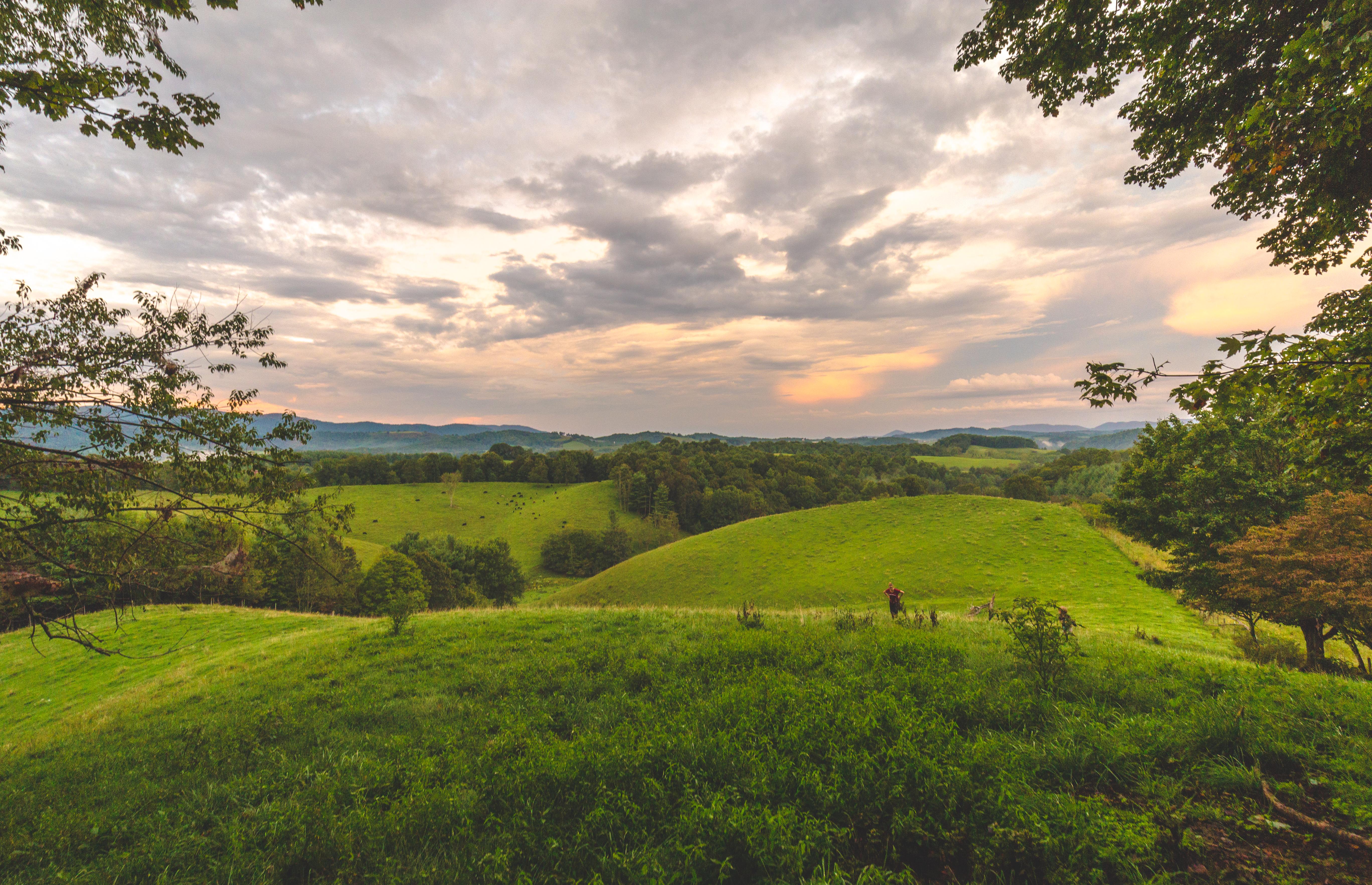
Virginia Hills Sunset

Fire in the Sky

Storm Clouds Passing over Buck Mountain
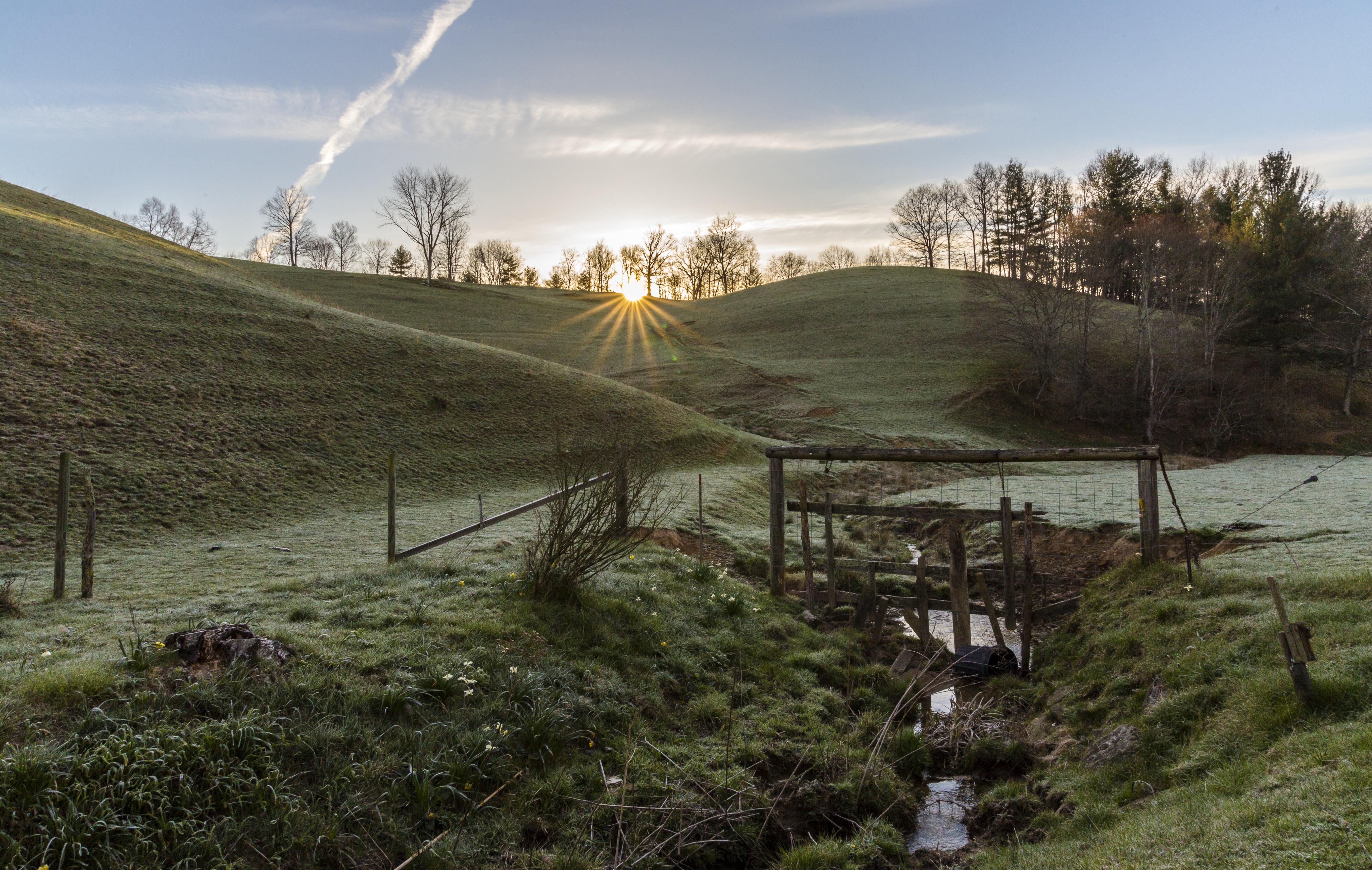
Waiting for the Sun
Early SWVA Morning
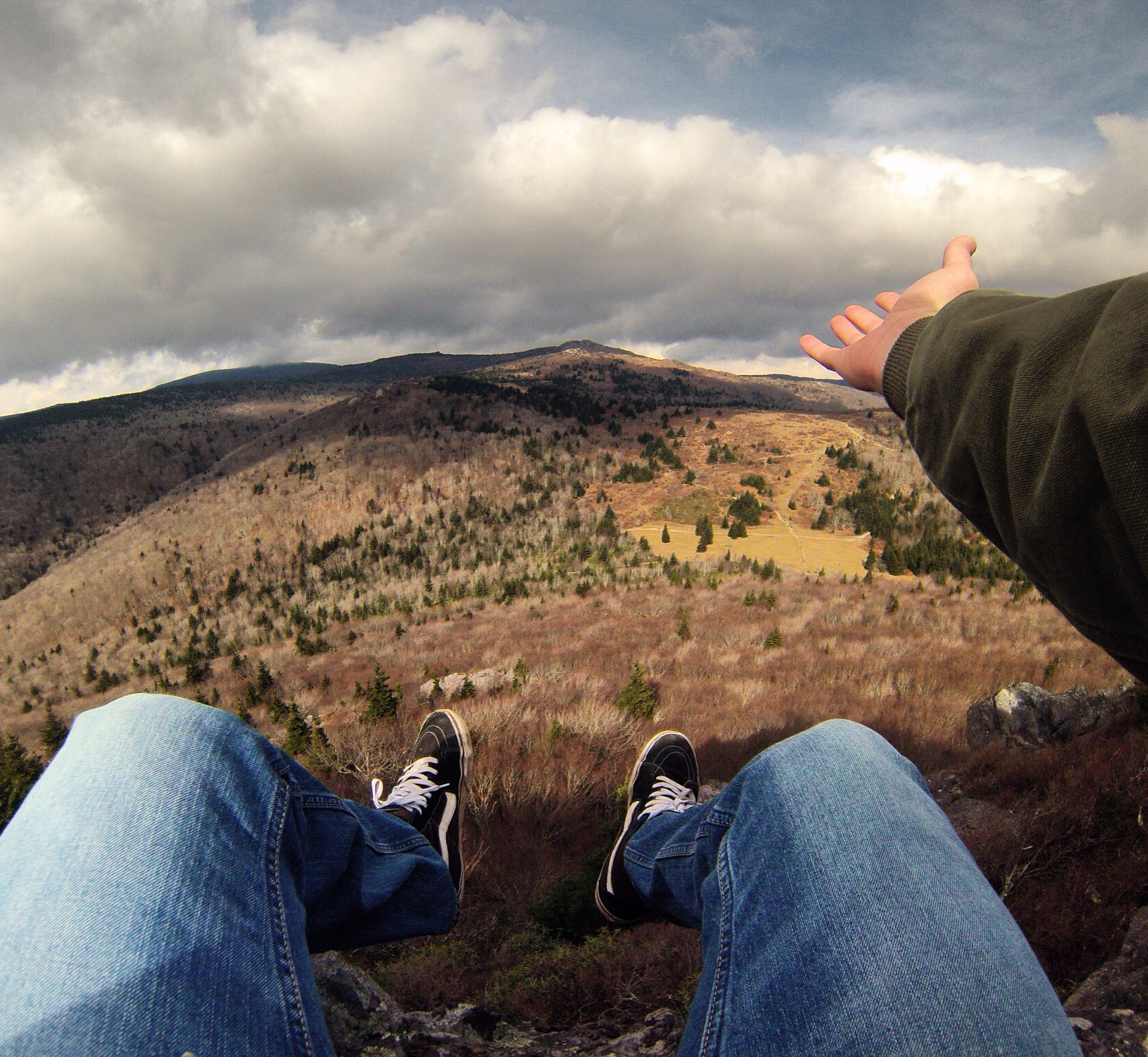
Mount Rogers
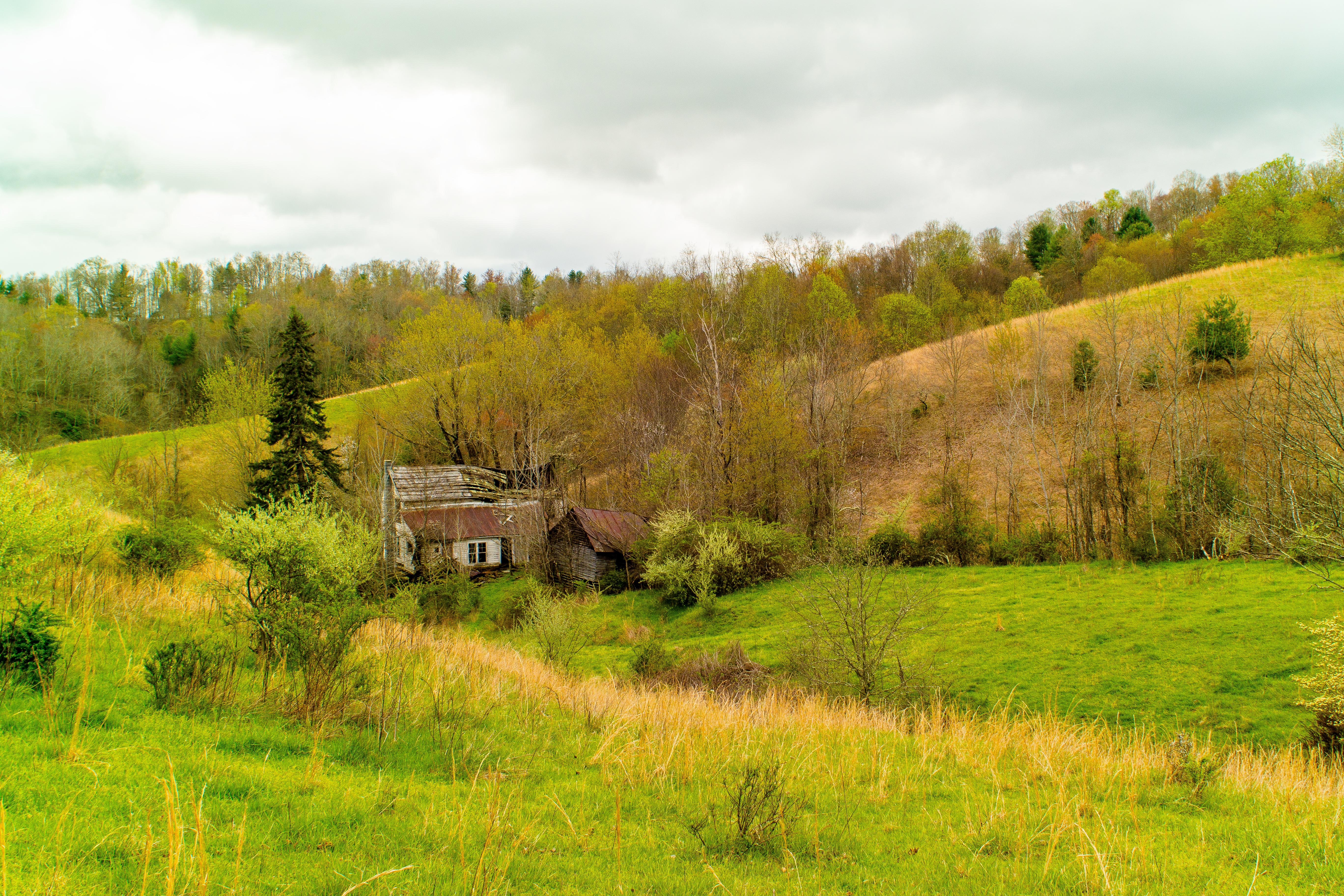
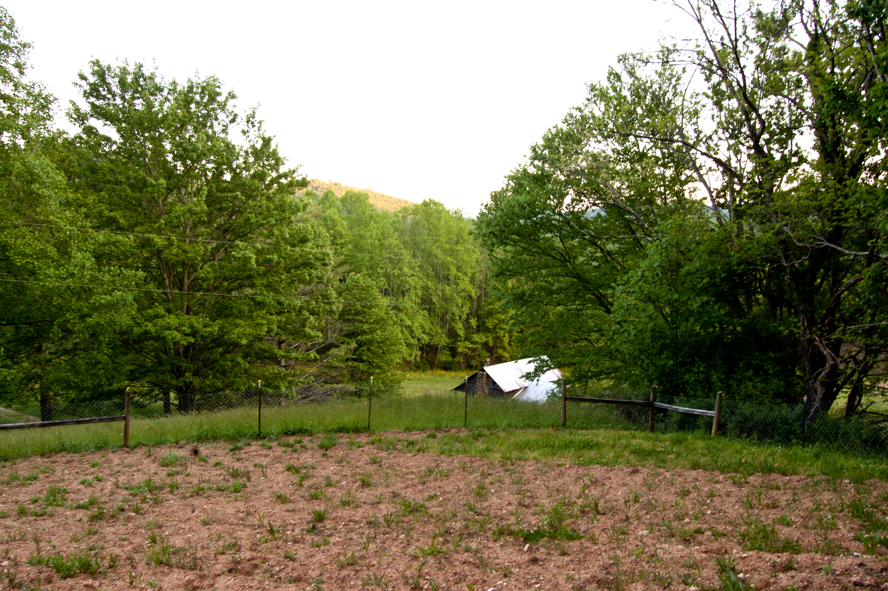
Forgotten House in the Hills
views around the homestead (9)

grayson-20071013 (50)

grayson-20071013 (48)
views around the homestead (7)

grayson-20071013 (52)
Rugby July 2010 (19)
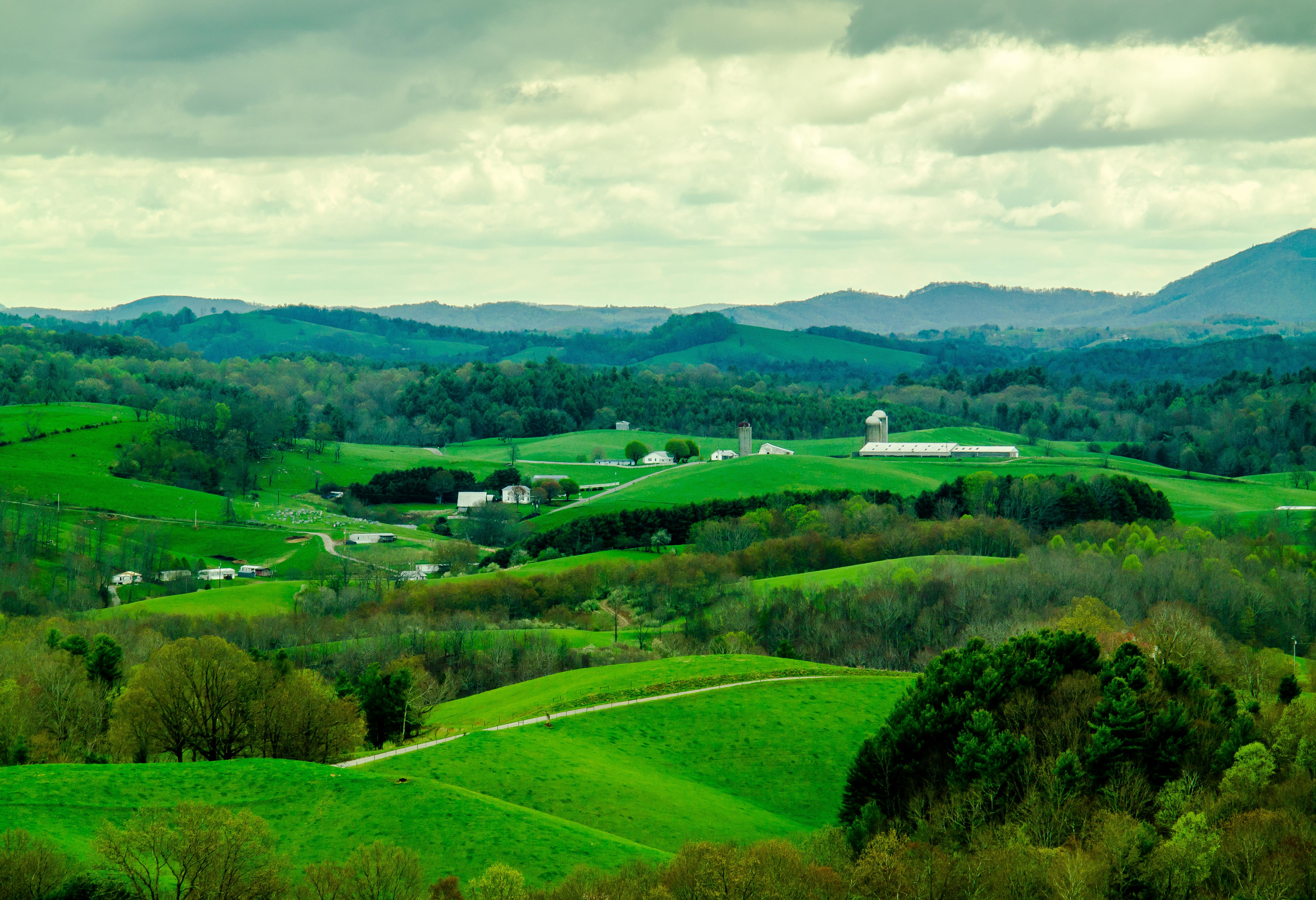
Virginia Hills
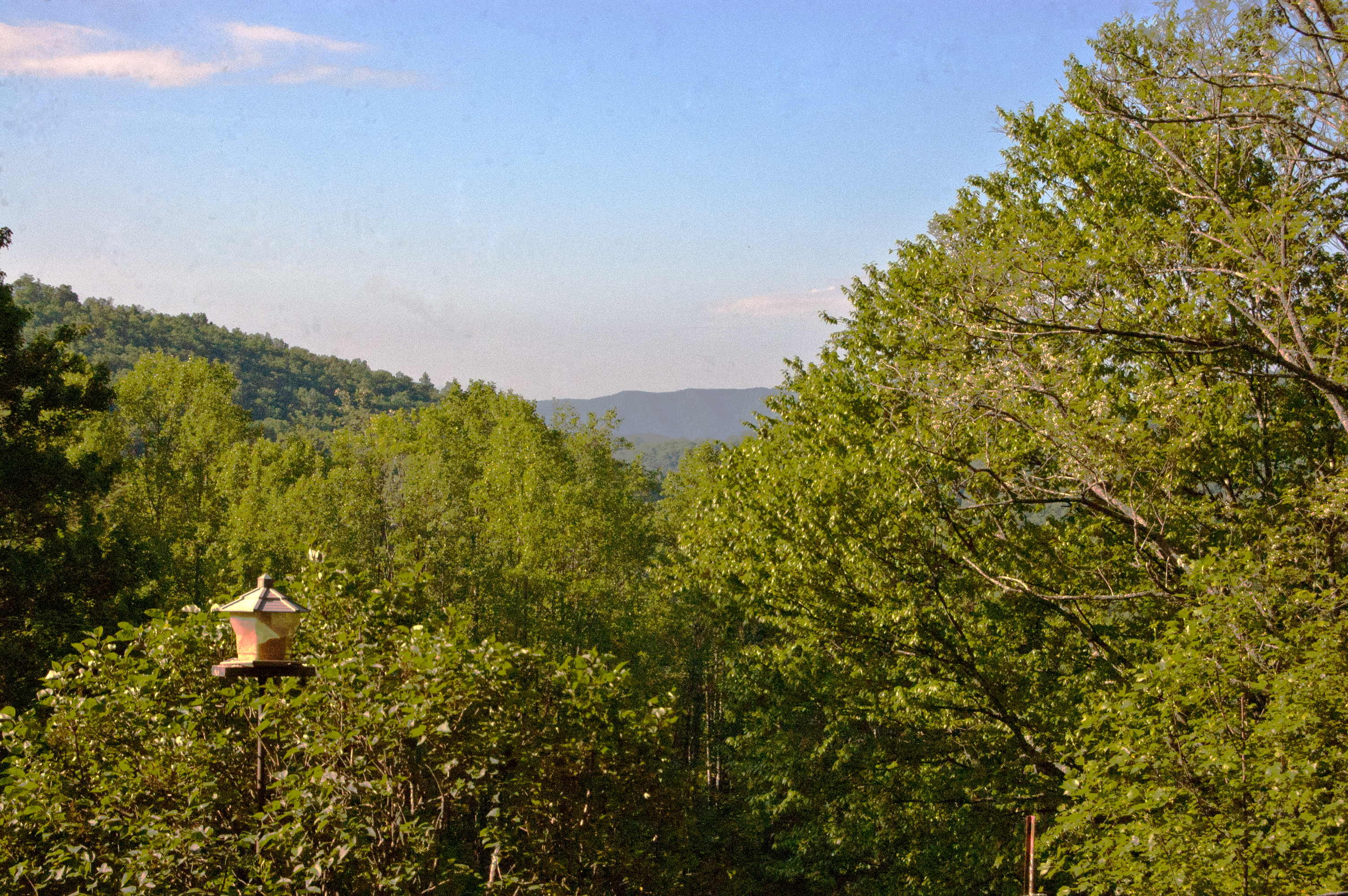
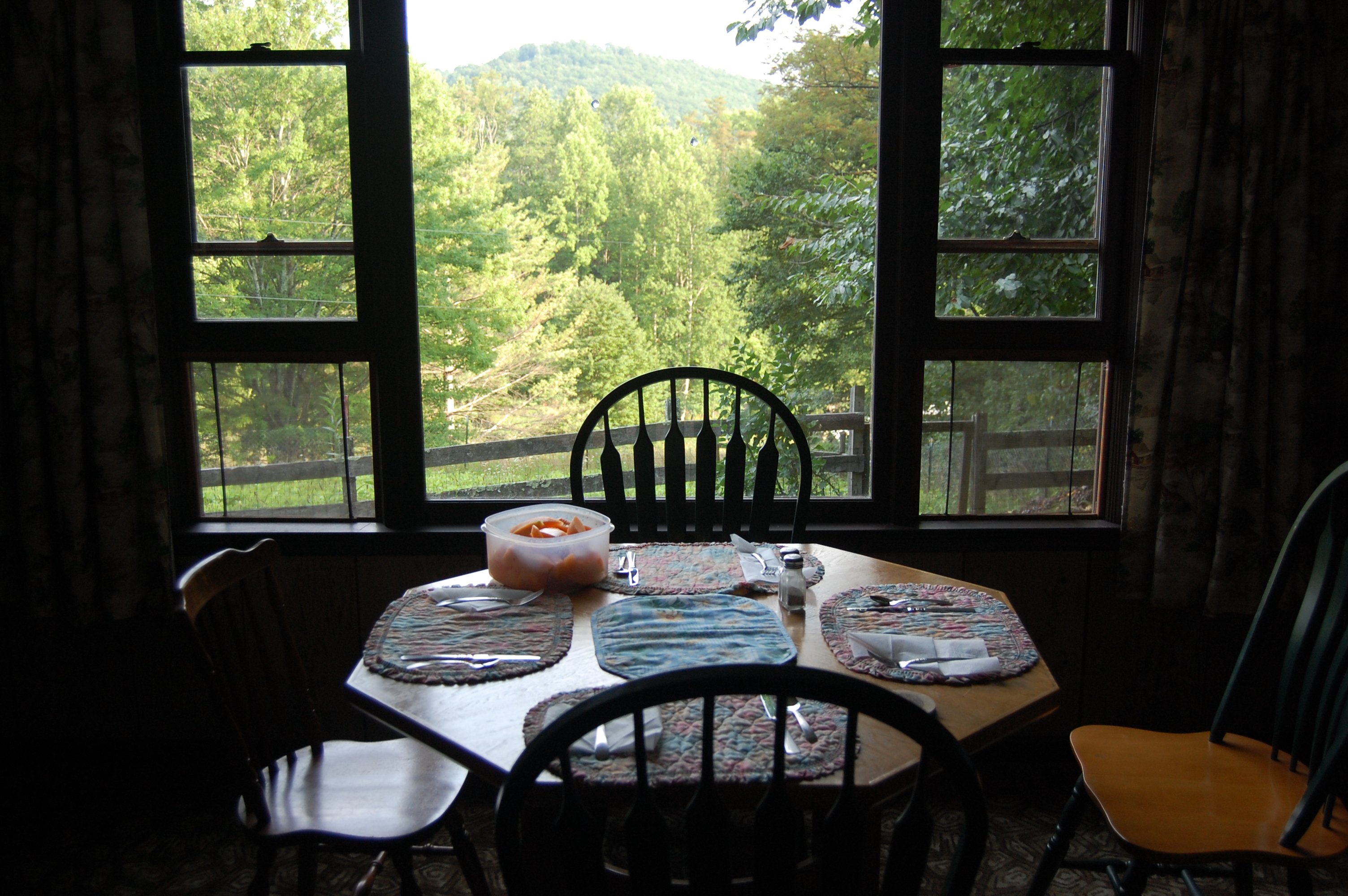
View out front

views around the homestead (10)
Rugby July 2010 (18)

grayson-20071013 (49)

grayson-20071013 (02)
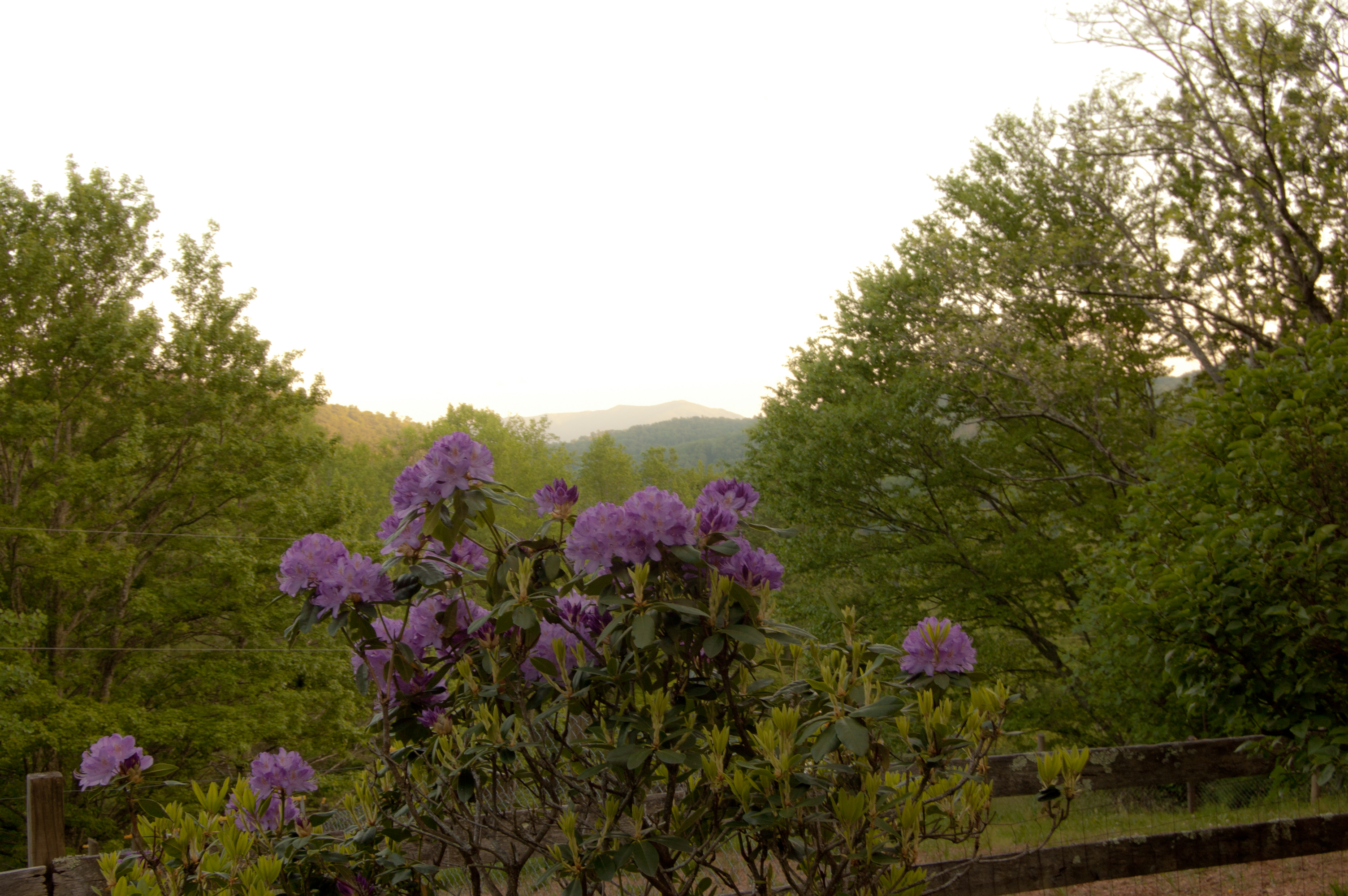
View past the Rhododendron
View out front (2)
views around the homestead (2)
Mapa de W Ridge Rd, Piney Creek, NC, EE. UU.
Buscar otro lugar
Lugares cercanos
Deer Knoll Dr, Piney Creek, NC, EE. UU.
30 W Ridge Rd, Piney Creek, NC, EE. UU.
83 Mountain Ridge Rd, Piney Creek, NC, EE. UU.
11 Buck Trail Ln, Piney Creek, NC, EE. UU.
Milky Way, Sparta, NC, EE. UU.
87 Big Rock Rd, Sparta, NC, EE. UU.
Deer Crossing Rd, Piney Creek, NC, EE. UU.
Wilson Hwy, Mouth of Wilson, VA, EE. UU.
Lucky Lakes Dr, Grassy Creek, NC, EE. UU.
60 Rocky Falls Ln, Mouth of Wilson, VA, EE. UU.
Happy Forest Dr, Grassy Creek, NC, EE. UU.
Lucky Valley Rd, Grassy Creek, NC, EE. UU.
Happy Land Rd, Grassy Creek, NC, EE. UU.
61 Lucky Hill Rd, Grassy Creek, NC, EE. UU.
Potato Creek Road, Potato Creek Rd, Wilson Creek, VA, EE. UU.
Mouth of Wilson, VA, EE. UU.
Wilson Hwy, Mouth of Wilson, VA, EE. UU.
97 Hillside Dr, Grassy Creek, NC, EE. UU.
Double Branch Rd, Grassy Creek, NC, EE. UU.
Double Branch Rd, Grassy Creek, NC, EE. UU.
Búsquedas recientes
- Horas de salida y puesta de sol de Red Dog Mine, AK, USA
- Horas de salida y puesta de sol de Am Bahnhof, Am bhf, Borken, Germany
- Horas de salida y puesta de sol de 4th St E, Sonoma, CA, EE. UU.
- Horas de salida y puesta de sol de Oakland Ave, Williamsport, PA, EE. UU.
- Horas de salida y puesta de sol de Via Roma, Pieranica CR, Italia
- Horas de salida y puesta de sol de Torre del reloj, Grad, Dubrovnik (Ragusa), Croacia
- Horas de salida y puesta de sol de Trelew, Chubut, Argentina
- Horas de salida y puesta de sol de Hartfords Bluff Cir, Mt Pleasant, SC, EE. UU.
- Horas de salida y puesta de sol de Kita Ward, Kumamoto, Japón
- Horas de salida y puesta de sol de Pingtan Island, Pingtan County, Fuzhou, China