Horas de salida y puesta de sol de US-70, Stacy, NC, EE. UU.
Location: Estados Unidos > Carolina del Norte > Condado de Carteret > Stacy > >
Zona horaria:
America/New_York
Hora local:
2025-05-23 01:37:30
Longitud:
-76.417327
Latitud:
34.8472409
Salida de sol de hoy:
05:56:43 AM
Puesta de sol de hoy:
08:08:15 PM
La duración del día hoy:
14h 11m 32s
Salida de sol de mañana:
05:56:12 AM
Puesta de sol de mañana:
08:08:58 PM
La duración del día mañana:
14h 12m 46s
Mostrar todas las fechas
| Fecha | Salida de sol | Puesta de sol | Duración del día |
|---|---|---|---|
| 01/01/2025 | 07:13:23 AM | 05:06:11 PM | 9h 52m 48s |
| 02/01/2025 | 07:13:30 AM | 05:06:58 PM | 9h 53m 28s |
| 03/01/2025 | 07:13:37 AM | 05:07:46 PM | 9h 54m 9s |
| 04/01/2025 | 07:13:41 AM | 05:08:36 PM | 9h 54m 55s |
| 05/01/2025 | 07:13:43 AM | 05:09:26 PM | 9h 55m 43s |
| 06/01/2025 | 07:13:43 AM | 05:10:18 PM | 9h 56m 35s |
| 07/01/2025 | 07:13:42 AM | 05:11:10 PM | 9h 57m 28s |
| 08/01/2025 | 07:13:38 AM | 05:12:03 PM | 9h 58m 25s |
| 09/01/2025 | 07:13:33 AM | 05:12:57 PM | 9h 59m 24s |
| 10/01/2025 | 07:13:26 AM | 05:13:52 PM | 10h 0m 26s |
| 11/01/2025 | 07:13:17 AM | 05:14:47 PM | 10h 1m 30s |
| 12/01/2025 | 07:13:06 AM | 05:15:43 PM | 10h 2m 37s |
| 13/01/2025 | 07:12:53 AM | 05:16:40 PM | 10h 3m 47s |
| 14/01/2025 | 07:12:38 AM | 05:17:37 PM | 10h 4m 59s |
| 15/01/2025 | 07:12:21 AM | 05:18:35 PM | 10h 6m 14s |
| 16/01/2025 | 07:12:03 AM | 05:19:34 PM | 10h 7m 31s |
| 17/01/2025 | 07:11:42 AM | 05:20:32 PM | 10h 8m 50s |
| 18/01/2025 | 07:11:20 AM | 05:21:31 PM | 10h 10m 11s |
| 19/01/2025 | 07:10:56 AM | 05:22:31 PM | 10h 11m 35s |
| 20/01/2025 | 07:10:30 AM | 05:23:31 PM | 10h 13m 1s |
| 21/01/2025 | 07:10:02 AM | 05:24:31 PM | 10h 14m 29s |
| 22/01/2025 | 07:09:33 AM | 05:25:31 PM | 10h 15m 58s |
| 23/01/2025 | 07:09:01 AM | 05:26:31 PM | 10h 17m 30s |
| 24/01/2025 | 07:08:28 AM | 05:27:32 PM | 10h 19m 4s |
| 25/01/2025 | 07:07:54 AM | 05:28:33 PM | 10h 20m 39s |
| 26/01/2025 | 07:07:17 AM | 05:29:34 PM | 10h 22m 17s |
| 27/01/2025 | 07:06:39 AM | 05:30:34 PM | 10h 23m 55s |
| 28/01/2025 | 07:06:00 AM | 05:31:35 PM | 10h 25m 35s |
| 29/01/2025 | 07:05:18 AM | 05:32:36 PM | 10h 27m 18s |
| 30/01/2025 | 07:04:35 AM | 05:33:37 PM | 10h 29m 2s |
| 31/01/2025 | 07:03:51 AM | 05:34:38 PM | 10h 30m 47s |
| 01/02/2025 | 07:03:05 AM | 05:35:38 PM | 10h 32m 33s |
| 02/02/2025 | 07:02:17 AM | 05:36:39 PM | 10h 34m 22s |
| 03/02/2025 | 07:01:28 AM | 05:37:39 PM | 10h 36m 11s |
| 04/02/2025 | 07:00:38 AM | 05:38:39 PM | 10h 38m 1s |
| 05/02/2025 | 06:59:46 AM | 05:39:40 PM | 10h 39m 54s |
| 06/02/2025 | 06:58:53 AM | 05:40:39 PM | 10h 41m 46s |
| 07/02/2025 | 06:57:58 AM | 05:41:39 PM | 10h 43m 41s |
| 08/02/2025 | 06:57:02 AM | 05:42:38 PM | 10h 45m 36s |
| 09/02/2025 | 06:56:05 AM | 05:43:38 PM | 10h 47m 33s |
| 10/02/2025 | 06:55:07 AM | 05:44:36 PM | 10h 49m 29s |
| 11/02/2025 | 06:54:07 AM | 05:45:35 PM | 10h 51m 28s |
| 12/02/2025 | 06:53:06 AM | 05:46:33 PM | 10h 53m 27s |
| 13/02/2025 | 06:52:04 AM | 05:47:31 PM | 10h 55m 27s |
| 14/02/2025 | 06:51:00 AM | 05:48:29 PM | 10h 57m 29s |
| 15/02/2025 | 06:49:56 AM | 05:49:26 PM | 10h 59m 30s |
| 16/02/2025 | 06:48:50 AM | 05:50:23 PM | 11h 1m 33s |
| 17/02/2025 | 06:47:44 AM | 05:51:20 PM | 11h 3m 36s |
| 18/02/2025 | 06:46:36 AM | 05:52:16 PM | 11h 5m 40s |
| 19/02/2025 | 06:45:28 AM | 05:53:12 PM | 11h 7m 44s |
| 20/02/2025 | 06:44:18 AM | 05:54:08 PM | 11h 9m 50s |
| 21/02/2025 | 06:43:08 AM | 05:55:04 PM | 11h 11m 56s |
| 22/02/2025 | 06:41:56 AM | 05:55:59 PM | 11h 14m 3s |
| 23/02/2025 | 06:40:44 AM | 05:56:53 PM | 11h 16m 9s |
| 24/02/2025 | 06:39:31 AM | 05:57:48 PM | 11h 18m 17s |
| 25/02/2025 | 06:38:17 AM | 05:58:42 PM | 11h 20m 25s |
| 26/02/2025 | 06:37:02 AM | 05:59:35 PM | 11h 22m 33s |
| 27/02/2025 | 06:35:47 AM | 06:00:29 PM | 11h 24m 42s |
| 28/02/2025 | 06:34:31 AM | 06:01:22 PM | 11h 26m 51s |
| 01/03/2025 | 06:33:14 AM | 06:02:14 PM | 11h 29m 0s |
| 02/03/2025 | 06:31:57 AM | 06:03:07 PM | 11h 31m 10s |
| 03/03/2025 | 06:30:39 AM | 06:03:59 PM | 11h 33m 20s |
| 04/03/2025 | 06:29:20 AM | 06:04:50 PM | 11h 35m 30s |
| 05/03/2025 | 06:28:01 AM | 06:05:42 PM | 11h 37m 41s |
| 06/03/2025 | 06:26:41 AM | 06:06:33 PM | 11h 39m 52s |
| 07/03/2025 | 06:25:21 AM | 06:07:24 PM | 11h 42m 3s |
| 08/03/2025 | 06:24:00 AM | 06:08:15 PM | 11h 44m 15s |
| 09/03/2025 | 07:22:43 AM | 07:09:03 PM | 11h 46m 20s |
| 10/03/2025 | 07:21:21 AM | 07:09:53 PM | 11h 48m 32s |
| 11/03/2025 | 07:19:59 AM | 07:10:43 PM | 11h 50m 44s |
| 12/03/2025 | 07:18:37 AM | 07:11:33 PM | 11h 52m 56s |
| 13/03/2025 | 07:17:15 AM | 07:12:22 PM | 11h 55m 7s |
| 14/03/2025 | 07:15:52 AM | 07:13:11 PM | 11h 57m 19s |
| 15/03/2025 | 07:14:29 AM | 07:14:00 PM | 11h 59m 31s |
| 16/03/2025 | 07:13:06 AM | 07:14:49 PM | 12h 1m 43s |
| 17/03/2025 | 07:11:42 AM | 07:15:38 PM | 12h 3m 56s |
| 18/03/2025 | 07:10:19 AM | 07:16:26 PM | 12h 6m 7s |
| 19/03/2025 | 07:08:55 AM | 07:17:15 PM | 12h 8m 20s |
| 20/03/2025 | 07:07:31 AM | 07:18:03 PM | 12h 10m 32s |
| 21/03/2025 | 07:06:07 AM | 07:18:51 PM | 12h 12m 44s |
| 22/03/2025 | 07:04:43 AM | 07:19:39 PM | 12h 14m 56s |
| 23/03/2025 | 07:03:19 AM | 07:20:27 PM | 12h 17m 8s |
| 24/03/2025 | 07:01:55 AM | 07:21:15 PM | 12h 19m 20s |
| 25/03/2025 | 07:00:32 AM | 07:22:02 PM | 12h 21m 30s |
| 26/03/2025 | 06:59:08 AM | 07:22:50 PM | 12h 23m 42s |
| 27/03/2025 | 06:57:44 AM | 07:23:37 PM | 12h 25m 53s |
| 28/03/2025 | 06:56:20 AM | 07:24:25 PM | 12h 28m 5s |
| 29/03/2025 | 06:54:57 AM | 07:25:12 PM | 12h 30m 15s |
| 30/03/2025 | 06:53:34 AM | 07:26:00 PM | 12h 32m 26s |
| 31/03/2025 | 06:52:11 AM | 07:26:47 PM | 12h 34m 36s |
| 01/04/2025 | 06:50:48 AM | 07:27:35 PM | 12h 36m 47s |
| 02/04/2025 | 06:49:26 AM | 07:28:22 PM | 12h 38m 56s |
| 03/04/2025 | 06:48:03 AM | 07:29:09 PM | 12h 41m 6s |
| 04/04/2025 | 06:46:41 AM | 07:29:57 PM | 12h 43m 16s |
| 05/04/2025 | 06:45:20 AM | 07:30:44 PM | 12h 45m 24s |
| 06/04/2025 | 06:43:59 AM | 07:31:31 PM | 12h 47m 32s |
| 07/04/2025 | 06:42:38 AM | 07:32:19 PM | 12h 49m 41s |
| 08/04/2025 | 06:41:18 AM | 07:33:06 PM | 12h 51m 48s |
| 09/04/2025 | 06:39:58 AM | 07:33:54 PM | 12h 53m 56s |
| 10/04/2025 | 06:38:39 AM | 07:34:41 PM | 12h 56m 2s |
| 11/04/2025 | 06:37:20 AM | 07:35:29 PM | 12h 58m 9s |
| 12/04/2025 | 06:36:02 AM | 07:36:17 PM | 13h 0m 15s |
| 13/04/2025 | 06:34:45 AM | 07:37:05 PM | 13h 2m 20s |
| 14/04/2025 | 06:33:28 AM | 07:37:52 PM | 13h 4m 24s |
| 15/04/2025 | 06:32:11 AM | 07:38:40 PM | 13h 6m 29s |
| 16/04/2025 | 06:30:56 AM | 07:39:28 PM | 13h 8m 32s |
| 17/04/2025 | 06:29:41 AM | 07:40:16 PM | 13h 10m 35s |
| 18/04/2025 | 06:28:27 AM | 07:41:04 PM | 13h 12m 37s |
| 19/04/2025 | 06:27:13 AM | 07:41:52 PM | 13h 14m 39s |
| 20/04/2025 | 06:26:01 AM | 07:42:41 PM | 13h 16m 40s |
| 21/04/2025 | 06:24:49 AM | 07:43:29 PM | 13h 18m 40s |
| 22/04/2025 | 06:23:38 AM | 07:44:17 PM | 13h 20m 39s |
| 23/04/2025 | 06:22:28 AM | 07:45:06 PM | 13h 22m 38s |
| 24/04/2025 | 06:21:19 AM | 07:45:54 PM | 13h 24m 35s |
| 25/04/2025 | 06:20:11 AM | 07:46:43 PM | 13h 26m 32s |
| 26/04/2025 | 06:19:04 AM | 07:47:31 PM | 13h 28m 27s |
| 27/04/2025 | 06:17:57 AM | 07:48:20 PM | 13h 30m 23s |
| 28/04/2025 | 06:16:52 AM | 07:49:08 PM | 13h 32m 16s |
| 29/04/2025 | 06:15:48 AM | 07:49:57 PM | 13h 34m 9s |
| 30/04/2025 | 06:14:45 AM | 07:50:45 PM | 13h 36m 0s |
| 01/05/2025 | 06:13:43 AM | 07:51:34 PM | 13h 37m 51s |
| 02/05/2025 | 06:12:42 AM | 07:52:22 PM | 13h 39m 40s |
| 03/05/2025 | 06:11:42 AM | 07:53:11 PM | 13h 41m 29s |
| 04/05/2025 | 06:10:44 AM | 07:53:59 PM | 13h 43m 15s |
| 05/05/2025 | 06:09:47 AM | 07:54:47 PM | 13h 45m 0s |
| 06/05/2025 | 06:08:50 AM | 07:55:35 PM | 13h 46m 45s |
| 07/05/2025 | 06:07:56 AM | 07:56:23 PM | 13h 48m 27s |
| 08/05/2025 | 06:07:02 AM | 07:57:11 PM | 13h 50m 9s |
| 09/05/2025 | 06:06:10 AM | 07:57:59 PM | 13h 51m 49s |
| 10/05/2025 | 06:05:19 AM | 07:58:47 PM | 13h 53m 28s |
| 11/05/2025 | 06:04:29 AM | 07:59:34 PM | 13h 55m 5s |
| 12/05/2025 | 06:03:41 AM | 08:00:21 PM | 13h 56m 40s |
| 13/05/2025 | 06:02:54 AM | 08:01:08 PM | 13h 58m 14s |
| 14/05/2025 | 06:02:09 AM | 08:01:55 PM | 13h 59m 46s |
| 15/05/2025 | 06:01:25 AM | 08:02:41 PM | 14h 1m 16s |
| 16/05/2025 | 06:00:42 AM | 08:03:27 PM | 14h 2m 45s |
| 17/05/2025 | 06:00:01 AM | 08:04:12 PM | 14h 4m 11s |
| 18/05/2025 | 05:59:22 AM | 08:04:58 PM | 14h 5m 36s |
| 19/05/2025 | 05:58:44 AM | 08:05:42 PM | 14h 6m 58s |
| 20/05/2025 | 05:58:07 AM | 08:06:27 PM | 14h 8m 20s |
| 21/05/2025 | 05:57:32 AM | 08:07:11 PM | 14h 9m 39s |
| 22/05/2025 | 05:56:59 AM | 08:07:54 PM | 14h 10m 55s |
| 23/05/2025 | 05:56:27 AM | 08:08:37 PM | 14h 12m 10s |
| 24/05/2025 | 05:55:57 AM | 08:09:19 PM | 14h 13m 22s |
| 25/05/2025 | 05:55:28 AM | 08:10:01 PM | 14h 14m 33s |
| 26/05/2025 | 05:55:01 AM | 08:10:42 PM | 14h 15m 41s |
| 27/05/2025 | 05:54:36 AM | 08:11:22 PM | 14h 16m 46s |
| 28/05/2025 | 05:54:12 AM | 08:12:01 PM | 14h 17m 49s |
| 29/05/2025 | 05:53:50 AM | 08:12:40 PM | 14h 18m 50s |
| 30/05/2025 | 05:53:29 AM | 08:13:18 PM | 14h 19m 49s |
| 31/05/2025 | 05:53:10 AM | 08:13:55 PM | 14h 20m 45s |
| 01/06/2025 | 05:52:53 AM | 08:14:32 PM | 14h 21m 39s |
| 02/06/2025 | 05:52:37 AM | 08:15:07 PM | 14h 22m 30s |
| 03/06/2025 | 05:52:23 AM | 08:15:41 PM | 14h 23m 18s |
| 04/06/2025 | 05:52:11 AM | 08:16:15 PM | 14h 24m 4s |
| 05/06/2025 | 05:52:00 AM | 08:16:47 PM | 14h 24m 47s |
| 06/06/2025 | 05:51:51 AM | 08:17:19 PM | 14h 25m 28s |
| 07/06/2025 | 05:51:44 AM | 08:17:49 PM | 14h 26m 5s |
| 08/06/2025 | 05:51:38 AM | 08:18:18 PM | 14h 26m 40s |
| 09/06/2025 | 05:51:34 AM | 08:18:46 PM | 14h 27m 12s |
| 10/06/2025 | 05:51:31 AM | 08:19:13 PM | 14h 27m 42s |
| 11/06/2025 | 05:51:30 AM | 08:19:39 PM | 14h 28m 9s |
| 12/06/2025 | 05:51:31 AM | 08:20:03 PM | 14h 28m 32s |
| 13/06/2025 | 05:51:33 AM | 08:20:27 PM | 14h 28m 54s |
| 14/06/2025 | 05:51:37 AM | 08:20:48 PM | 14h 29m 11s |
| 15/06/2025 | 05:51:42 AM | 08:21:09 PM | 14h 29m 27s |
| 16/06/2025 | 05:51:49 AM | 08:21:28 PM | 14h 29m 39s |
| 17/06/2025 | 05:51:57 AM | 08:21:46 PM | 14h 29m 49s |
| 18/06/2025 | 05:52:07 AM | 08:22:02 PM | 14h 29m 55s |
| 19/06/2025 | 05:52:19 AM | 08:22:17 PM | 14h 29m 58s |
| 20/06/2025 | 05:52:31 AM | 08:22:30 PM | 14h 29m 59s |
| 21/06/2025 | 05:52:45 AM | 08:22:42 PM | 14h 29m 57s |
| 22/06/2025 | 05:53:01 AM | 08:22:53 PM | 14h 29m 52s |
| 23/06/2025 | 05:53:18 AM | 08:23:01 PM | 14h 29m 43s |
| 24/06/2025 | 05:53:36 AM | 08:23:09 PM | 14h 29m 33s |
| 25/06/2025 | 05:53:56 AM | 08:23:14 PM | 14h 29m 18s |
| 26/06/2025 | 05:54:17 AM | 08:23:19 PM | 14h 29m 2s |
| 27/06/2025 | 05:54:39 AM | 08:23:21 PM | 14h 28m 42s |
| 28/06/2025 | 05:55:02 AM | 08:23:22 PM | 14h 28m 20s |
| 29/06/2025 | 05:55:27 AM | 08:23:21 PM | 14h 27m 54s |
| 30/06/2025 | 05:55:52 AM | 08:23:19 PM | 14h 27m 27s |
| 01/07/2025 | 05:56:19 AM | 08:23:15 PM | 14h 26m 56s |
| 02/07/2025 | 05:56:47 AM | 08:23:09 PM | 14h 26m 22s |
| 03/07/2025 | 05:57:16 AM | 08:23:01 PM | 14h 25m 45s |
| 04/07/2025 | 05:57:46 AM | 08:22:52 PM | 14h 25m 6s |
| 05/07/2025 | 05:58:17 AM | 08:22:42 PM | 14h 24m 25s |
| 06/07/2025 | 05:58:49 AM | 08:22:29 PM | 14h 23m 40s |
| 07/07/2025 | 05:59:22 AM | 08:22:15 PM | 14h 22m 53s |
| 08/07/2025 | 05:59:55 AM | 08:21:59 PM | 14h 22m 4s |
| 09/07/2025 | 06:00:30 AM | 08:21:42 PM | 14h 21m 12s |
| 10/07/2025 | 06:01:05 AM | 08:21:22 PM | 14h 20m 17s |
| 11/07/2025 | 06:01:41 AM | 08:21:01 PM | 14h 19m 20s |
| 12/07/2025 | 06:02:18 AM | 08:20:39 PM | 14h 18m 21s |
| 13/07/2025 | 06:02:56 AM | 08:20:15 PM | 14h 17m 19s |
| 14/07/2025 | 06:03:34 AM | 08:19:49 PM | 14h 16m 15s |
| 15/07/2025 | 06:04:13 AM | 08:19:21 PM | 14h 15m 8s |
| 16/07/2025 | 06:04:52 AM | 08:18:52 PM | 14h 14m 0s |
| 17/07/2025 | 06:05:32 AM | 08:18:21 PM | 14h 12m 49s |
| 18/07/2025 | 06:06:13 AM | 08:17:49 PM | 14h 11m 36s |
| 19/07/2025 | 06:06:54 AM | 08:17:15 PM | 14h 10m 21s |
| 20/07/2025 | 06:07:35 AM | 08:16:39 PM | 14h 9m 4s |
| 21/07/2025 | 06:08:17 AM | 08:16:02 PM | 14h 7m 45s |
| 22/07/2025 | 06:09:00 AM | 08:15:23 PM | 14h 6m 23s |
| 23/07/2025 | 06:09:42 AM | 08:14:43 PM | 14h 5m 1s |
| 24/07/2025 | 06:10:25 AM | 08:14:01 PM | 14h 3m 36s |
| 25/07/2025 | 06:11:09 AM | 08:13:18 PM | 14h 2m 9s |
| 26/07/2025 | 06:11:52 AM | 08:12:33 PM | 14h 0m 41s |
| 27/07/2025 | 06:12:36 AM | 08:11:47 PM | 13h 59m 11s |
| 28/07/2025 | 06:13:20 AM | 08:10:59 PM | 13h 57m 39s |
| 29/07/2025 | 06:14:05 AM | 08:10:10 PM | 13h 56m 5s |
| 30/07/2025 | 06:14:49 AM | 08:09:20 PM | 13h 54m 31s |
| 31/07/2025 | 06:15:34 AM | 08:08:28 PM | 13h 52m 54s |
| 01/08/2025 | 06:16:19 AM | 08:07:34 PM | 13h 51m 15s |
| 02/08/2025 | 06:17:04 AM | 08:06:40 PM | 13h 49m 36s |
| 03/08/2025 | 06:17:49 AM | 08:05:44 PM | 13h 47m 55s |
| 04/08/2025 | 06:18:34 AM | 08:04:47 PM | 13h 46m 13s |
| 05/08/2025 | 06:19:19 AM | 08:03:48 PM | 13h 44m 29s |
| 06/08/2025 | 06:20:04 AM | 08:02:49 PM | 13h 42m 45s |
| 07/08/2025 | 06:20:49 AM | 08:01:48 PM | 13h 40m 59s |
| 08/08/2025 | 06:21:35 AM | 08:00:46 PM | 13h 39m 11s |
| 09/08/2025 | 06:22:20 AM | 07:59:43 PM | 13h 37m 23s |
| 10/08/2025 | 06:23:05 AM | 07:58:39 PM | 13h 35m 34s |
| 11/08/2025 | 06:23:50 AM | 07:57:33 PM | 13h 33m 43s |
| 12/08/2025 | 06:24:35 AM | 07:56:27 PM | 13h 31m 52s |
| 13/08/2025 | 06:25:20 AM | 07:55:19 PM | 13h 29m 59s |
| 14/08/2025 | 06:26:05 AM | 07:54:11 PM | 13h 28m 6s |
| 15/08/2025 | 06:26:50 AM | 07:53:01 PM | 13h 26m 11s |
| 16/08/2025 | 06:27:35 AM | 07:51:51 PM | 13h 24m 16s |
| 17/08/2025 | 06:28:20 AM | 07:50:39 PM | 13h 22m 19s |
| 18/08/2025 | 06:29:05 AM | 07:49:27 PM | 13h 20m 22s |
| 19/08/2025 | 06:29:49 AM | 07:48:14 PM | 13h 18m 25s |
| 20/08/2025 | 06:30:34 AM | 07:47:00 PM | 13h 16m 26s |
| 21/08/2025 | 06:31:18 AM | 07:45:45 PM | 13h 14m 27s |
| 22/08/2025 | 06:32:03 AM | 07:44:29 PM | 13h 12m 26s |
| 23/08/2025 | 06:32:47 AM | 07:43:13 PM | 13h 10m 26s |
| 24/08/2025 | 06:33:31 AM | 07:41:56 PM | 13h 8m 25s |
| 25/08/2025 | 06:34:15 AM | 07:40:38 PM | 13h 6m 23s |
| 26/08/2025 | 06:34:59 AM | 07:39:20 PM | 13h 4m 21s |
| 27/08/2025 | 06:35:43 AM | 07:38:00 PM | 13h 2m 17s |
| 28/08/2025 | 06:36:27 AM | 07:36:41 PM | 13h 0m 14s |
| 29/08/2025 | 06:37:10 AM | 07:35:20 PM | 12h 58m 10s |
| 30/08/2025 | 06:37:54 AM | 07:33:59 PM | 12h 56m 5s |
| 31/08/2025 | 06:38:37 AM | 07:32:38 PM | 12h 54m 1s |
| 01/09/2025 | 06:39:21 AM | 07:31:16 PM | 12h 51m 55s |
| 02/09/2025 | 06:40:04 AM | 07:29:53 PM | 12h 49m 49s |
| 03/09/2025 | 06:40:47 AM | 07:28:30 PM | 12h 47m 43s |
| 04/09/2025 | 06:41:31 AM | 07:27:07 PM | 12h 45m 36s |
| 05/09/2025 | 06:42:14 AM | 07:25:43 PM | 12h 43m 29s |
| 06/09/2025 | 06:42:57 AM | 07:24:19 PM | 12h 41m 22s |
| 07/09/2025 | 06:43:40 AM | 07:22:55 PM | 12h 39m 15s |
| 08/09/2025 | 06:44:23 AM | 07:21:30 PM | 12h 37m 7s |
| 09/09/2025 | 06:45:06 AM | 07:20:05 PM | 12h 34m 59s |
| 10/09/2025 | 06:45:49 AM | 07:18:40 PM | 12h 32m 51s |
| 11/09/2025 | 06:46:33 AM | 07:17:14 PM | 12h 30m 41s |
| 12/09/2025 | 06:47:16 AM | 07:15:48 PM | 12h 28m 32s |
| 13/09/2025 | 06:47:59 AM | 07:14:23 PM | 12h 26m 24s |
| 14/09/2025 | 06:48:42 AM | 07:12:57 PM | 12h 24m 15s |
| 15/09/2025 | 06:49:25 AM | 07:11:30 PM | 12h 22m 5s |
| 16/09/2025 | 06:50:09 AM | 07:10:04 PM | 12h 19m 55s |
| 17/09/2025 | 06:50:52 AM | 07:08:38 PM | 12h 17m 46s |
| 18/09/2025 | 06:51:35 AM | 07:07:12 PM | 12h 15m 37s |
| 19/09/2025 | 06:52:19 AM | 07:05:45 PM | 12h 13m 26s |
| 20/09/2025 | 06:53:03 AM | 07:04:19 PM | 12h 11m 16s |
| 21/09/2025 | 06:53:46 AM | 07:02:53 PM | 12h 9m 7s |
| 22/09/2025 | 06:54:30 AM | 07:01:27 PM | 12h 6m 57s |
| 23/09/2025 | 06:55:14 AM | 07:00:01 PM | 12h 4m 47s |
| 24/09/2025 | 06:55:59 AM | 06:58:35 PM | 12h 2m 36s |
| 25/09/2025 | 06:56:43 AM | 06:57:09 PM | 12h 0m 26s |
| 26/09/2025 | 06:57:28 AM | 06:55:44 PM | 11h 58m 16s |
| 27/09/2025 | 06:58:13 AM | 06:54:19 PM | 11h 56m 6s |
| 28/09/2025 | 06:58:58 AM | 06:52:54 PM | 11h 53m 56s |
| 29/09/2025 | 06:59:43 AM | 06:51:29 PM | 11h 51m 46s |
| 30/09/2025 | 07:00:28 AM | 06:50:05 PM | 11h 49m 37s |
| 01/10/2025 | 07:01:14 AM | 06:48:41 PM | 11h 47m 27s |
| 02/10/2025 | 07:02:00 AM | 06:47:17 PM | 11h 45m 17s |
| 03/10/2025 | 07:02:46 AM | 06:45:54 PM | 11h 43m 8s |
| 04/10/2025 | 07:03:32 AM | 06:44:31 PM | 11h 40m 59s |
| 05/10/2025 | 07:04:19 AM | 06:43:09 PM | 11h 38m 50s |
| 06/10/2025 | 07:05:06 AM | 06:41:47 PM | 11h 36m 41s |
| 07/10/2025 | 07:05:54 AM | 06:40:26 PM | 11h 34m 32s |
| 08/10/2025 | 07:06:41 AM | 06:39:05 PM | 11h 32m 24s |
| 09/10/2025 | 07:07:29 AM | 06:37:45 PM | 11h 30m 16s |
| 10/10/2025 | 07:08:17 AM | 06:36:26 PM | 11h 28m 9s |
| 11/10/2025 | 07:09:06 AM | 06:35:07 PM | 11h 26m 1s |
| 12/10/2025 | 07:09:55 AM | 06:33:49 PM | 11h 23m 54s |
| 13/10/2025 | 07:10:44 AM | 06:32:31 PM | 11h 21m 47s |
| 14/10/2025 | 07:11:34 AM | 06:31:15 PM | 11h 19m 41s |
| 15/10/2025 | 07:12:24 AM | 06:29:59 PM | 11h 17m 35s |
| 16/10/2025 | 07:13:14 AM | 06:28:44 PM | 11h 15m 30s |
| 17/10/2025 | 07:14:05 AM | 06:27:29 PM | 11h 13m 24s |
| 18/10/2025 | 07:14:56 AM | 06:26:16 PM | 11h 11m 20s |
| 19/10/2025 | 07:15:48 AM | 06:25:03 PM | 11h 9m 15s |
| 20/10/2025 | 07:16:40 AM | 06:23:52 PM | 11h 7m 12s |
| 21/10/2025 | 07:17:32 AM | 06:22:41 PM | 11h 5m 9s |
| 22/10/2025 | 07:18:24 AM | 06:21:32 PM | 11h 3m 8s |
| 23/10/2025 | 07:19:17 AM | 06:20:23 PM | 11h 1m 6s |
| 24/10/2025 | 07:20:11 AM | 06:19:16 PM | 10h 59m 5s |
| 25/10/2025 | 07:21:04 AM | 06:18:09 PM | 10h 57m 5s |
| 26/10/2025 | 07:21:58 AM | 06:17:04 PM | 10h 55m 6s |
| 27/10/2025 | 07:22:53 AM | 06:16:00 PM | 10h 53m 7s |
| 28/10/2025 | 07:23:47 AM | 06:14:57 PM | 10h 51m 10s |
| 29/10/2025 | 07:24:42 AM | 06:13:55 PM | 10h 49m 13s |
| 30/10/2025 | 07:25:38 AM | 06:12:54 PM | 10h 47m 16s |
| 31/10/2025 | 07:26:33 AM | 06:11:55 PM | 10h 45m 22s |
| 01/11/2025 | 07:27:29 AM | 06:10:57 PM | 10h 43m 28s |
| 02/11/2025 | 06:28:28 AM | 05:09:58 PM | 10h 41m 30s |
| 03/11/2025 | 06:29:24 AM | 05:09:03 PM | 10h 39m 39s |
| 04/11/2025 | 06:30:21 AM | 05:08:09 PM | 10h 37m 48s |
| 05/11/2025 | 06:31:18 AM | 05:07:17 PM | 10h 35m 59s |
| 06/11/2025 | 06:32:15 AM | 05:06:26 PM | 10h 34m 11s |
| 07/11/2025 | 06:33:13 AM | 05:05:37 PM | 10h 32m 24s |
| 08/11/2025 | 06:34:10 AM | 05:04:49 PM | 10h 30m 39s |
| 09/11/2025 | 06:35:08 AM | 05:04:03 PM | 10h 28m 55s |
| 10/11/2025 | 06:36:06 AM | 05:03:18 PM | 10h 27m 12s |
| 11/11/2025 | 06:37:04 AM | 05:02:35 PM | 10h 25m 31s |
| 12/11/2025 | 06:38:02 AM | 05:01:53 PM | 10h 23m 51s |
| 13/11/2025 | 06:39:00 AM | 05:01:13 PM | 10h 22m 13s |
| 14/11/2025 | 06:39:58 AM | 05:00:35 PM | 10h 20m 37s |
| 15/11/2025 | 06:40:56 AM | 04:59:59 PM | 10h 19m 3s |
| 16/11/2025 | 06:41:54 AM | 04:59:24 PM | 10h 17m 30s |
| 17/11/2025 | 06:42:52 AM | 04:58:51 PM | 10h 15m 59s |
| 18/11/2025 | 06:43:50 AM | 04:58:20 PM | 10h 14m 30s |
| 19/11/2025 | 06:44:47 AM | 04:57:50 PM | 10h 13m 3s |
| 20/11/2025 | 06:45:45 AM | 04:57:23 PM | 10h 11m 38s |
| 21/11/2025 | 06:46:42 AM | 04:56:57 PM | 10h 10m 15s |
| 22/11/2025 | 06:47:39 AM | 04:56:33 PM | 10h 8m 54s |
| 23/11/2025 | 06:48:35 AM | 04:56:11 PM | 10h 7m 36s |
| 24/11/2025 | 06:49:32 AM | 04:55:51 PM | 10h 6m 19s |
| 25/11/2025 | 06:50:28 AM | 04:55:32 PM | 10h 5m 4s |
| 26/11/2025 | 06:51:23 AM | 04:55:16 PM | 10h 3m 53s |
| 27/11/2025 | 06:52:18 AM | 04:55:02 PM | 10h 2m 44s |
| 28/11/2025 | 06:53:12 AM | 04:54:49 PM | 10h 1m 37s |
| 29/11/2025 | 06:54:06 AM | 04:54:38 PM | 10h 0m 32s |
| 30/11/2025 | 06:54:59 AM | 04:54:30 PM | 9h 59m 31s |
| 01/12/2025 | 06:55:52 AM | 04:54:23 PM | 9h 58m 31s |
| 02/12/2025 | 06:56:44 AM | 04:54:18 PM | 9h 57m 34s |
| 03/12/2025 | 06:57:35 AM | 04:54:15 PM | 9h 56m 40s |
| 04/12/2025 | 06:58:25 AM | 04:54:14 PM | 9h 55m 49s |
| 05/12/2025 | 06:59:14 AM | 04:54:15 PM | 9h 55m 1s |
| 06/12/2025 | 07:00:03 AM | 04:54:18 PM | 9h 54m 15s |
| 07/12/2025 | 07:00:50 AM | 04:54:23 PM | 9h 53m 33s |
| 08/12/2025 | 07:01:37 AM | 04:54:30 PM | 9h 52m 53s |
| 09/12/2025 | 07:02:22 AM | 04:54:39 PM | 9h 52m 17s |
| 10/12/2025 | 07:03:07 AM | 04:54:50 PM | 9h 51m 43s |
| 11/12/2025 | 07:03:50 AM | 04:55:02 PM | 9h 51m 12s |
| 12/12/2025 | 07:04:32 AM | 04:55:17 PM | 9h 50m 45s |
| 13/12/2025 | 07:05:13 AM | 04:55:33 PM | 9h 50m 20s |
| 14/12/2025 | 07:05:52 AM | 04:55:51 PM | 9h 49m 59s |
| 15/12/2025 | 07:06:30 AM | 04:56:11 PM | 9h 49m 41s |
| 16/12/2025 | 07:07:07 AM | 04:56:33 PM | 9h 49m 26s |
| 17/12/2025 | 07:07:43 AM | 04:56:56 PM | 9h 49m 13s |
| 18/12/2025 | 07:08:16 AM | 04:57:22 PM | 9h 49m 6s |
| 19/12/2025 | 07:08:49 AM | 04:57:49 PM | 9h 49m 0s |
| 20/12/2025 | 07:09:20 AM | 04:58:17 PM | 9h 48m 57s |
| 21/12/2025 | 07:09:49 AM | 04:58:48 PM | 9h 48m 59s |
| 22/12/2025 | 07:10:17 AM | 04:59:20 PM | 9h 49m 3s |
| 23/12/2025 | 07:10:43 AM | 04:59:53 PM | 9h 49m 10s |
| 24/12/2025 | 07:11:07 AM | 05:00:28 PM | 9h 49m 21s |
| 25/12/2025 | 07:11:30 AM | 05:01:05 PM | 9h 49m 35s |
| 26/12/2025 | 07:11:51 AM | 05:01:43 PM | 9h 49m 52s |
| 27/12/2025 | 07:12:11 AM | 05:02:22 PM | 9h 50m 11s |
| 28/12/2025 | 07:12:28 AM | 05:03:03 PM | 9h 50m 35s |
| 29/12/2025 | 07:12:44 AM | 05:03:45 PM | 9h 51m 1s |
| 30/12/2025 | 07:12:58 AM | 05:04:29 PM | 9h 51m 31s |
| 31/12/2025 | 07:13:10 AM | 05:05:13 PM | 9h 52m 3s |
Fotos
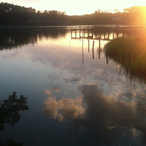
Williston Creek/Jarrett Bay sunset. #easternNC
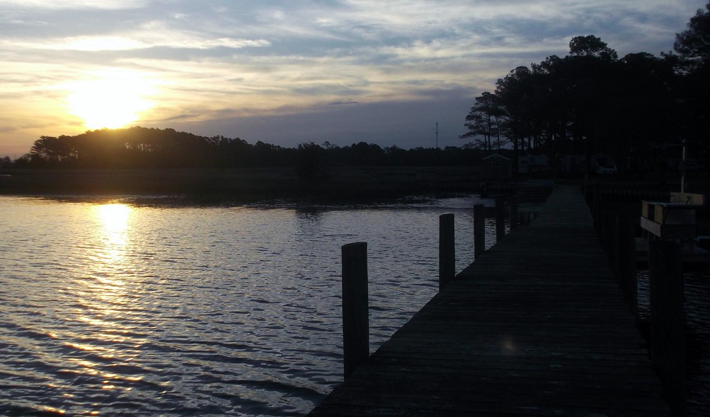
sunrise, oyster bay
untitled sunrise
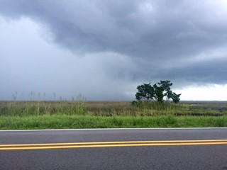
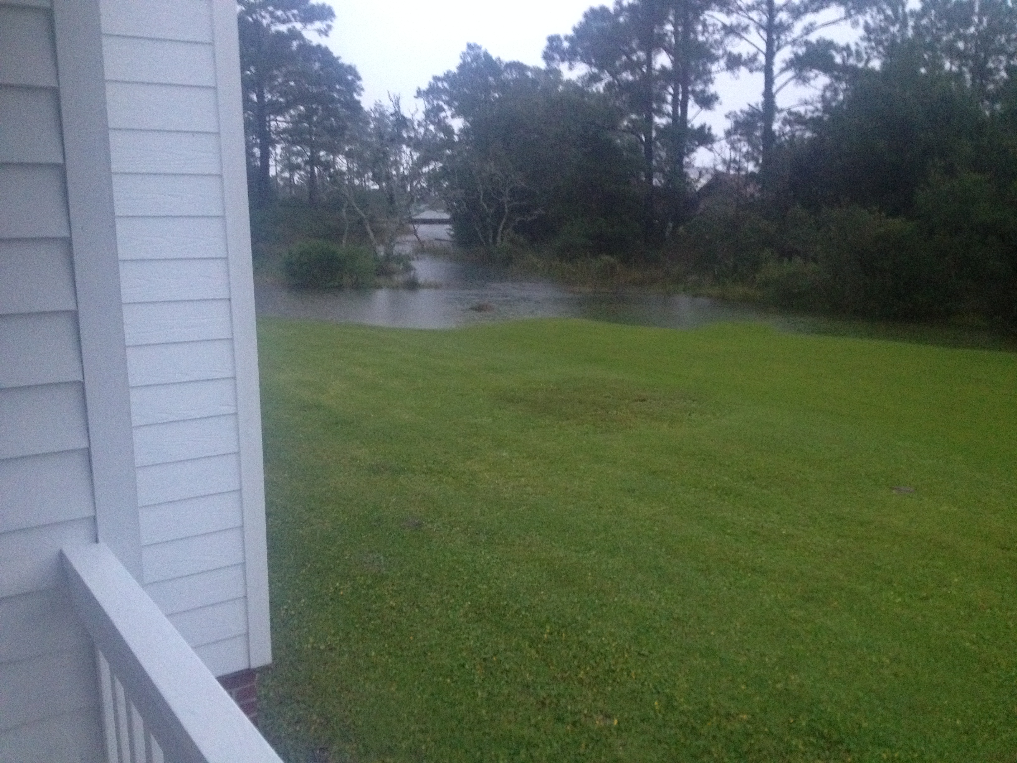
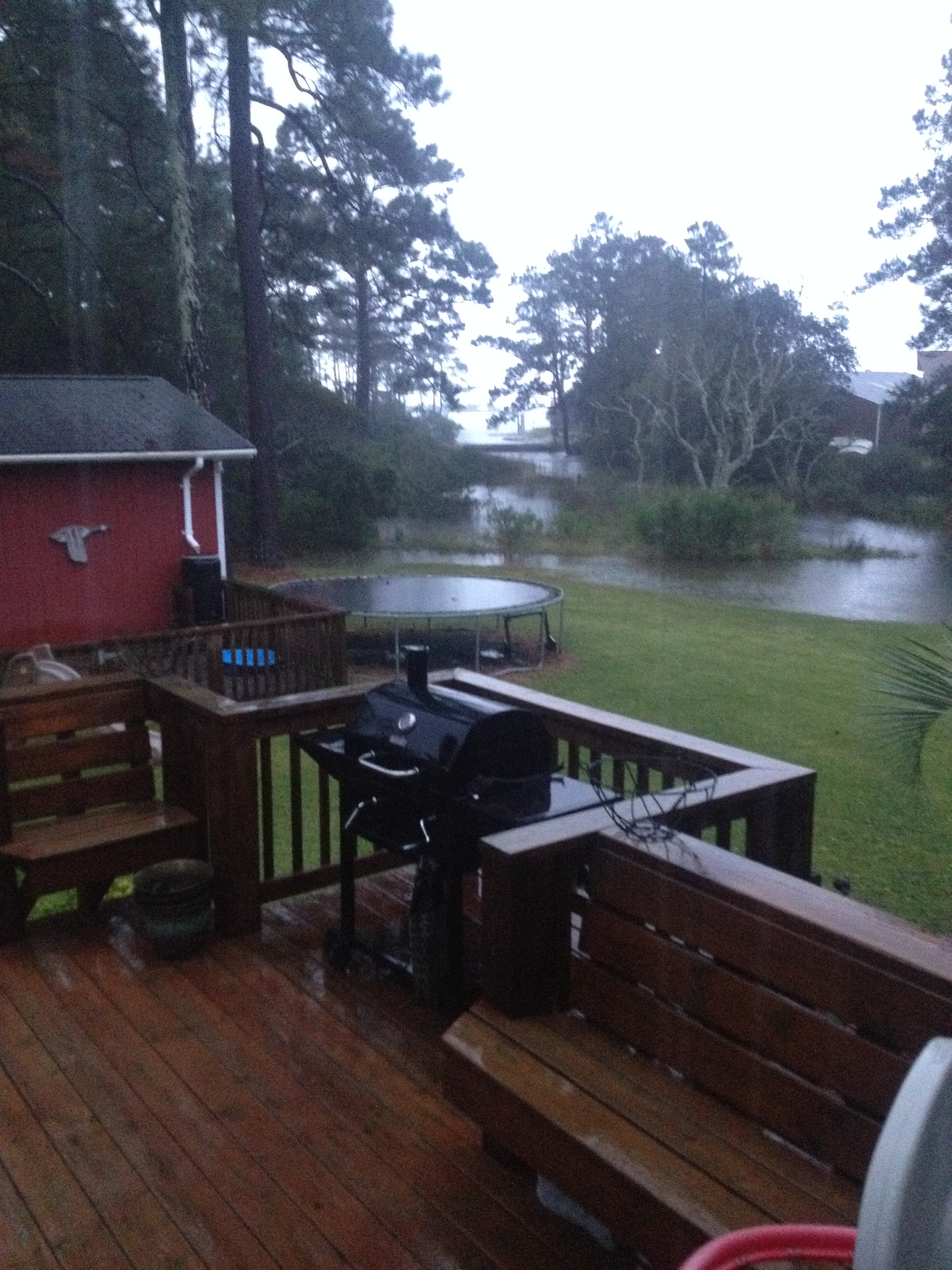
V16-044-Kimberly Brookshire-In the Storm
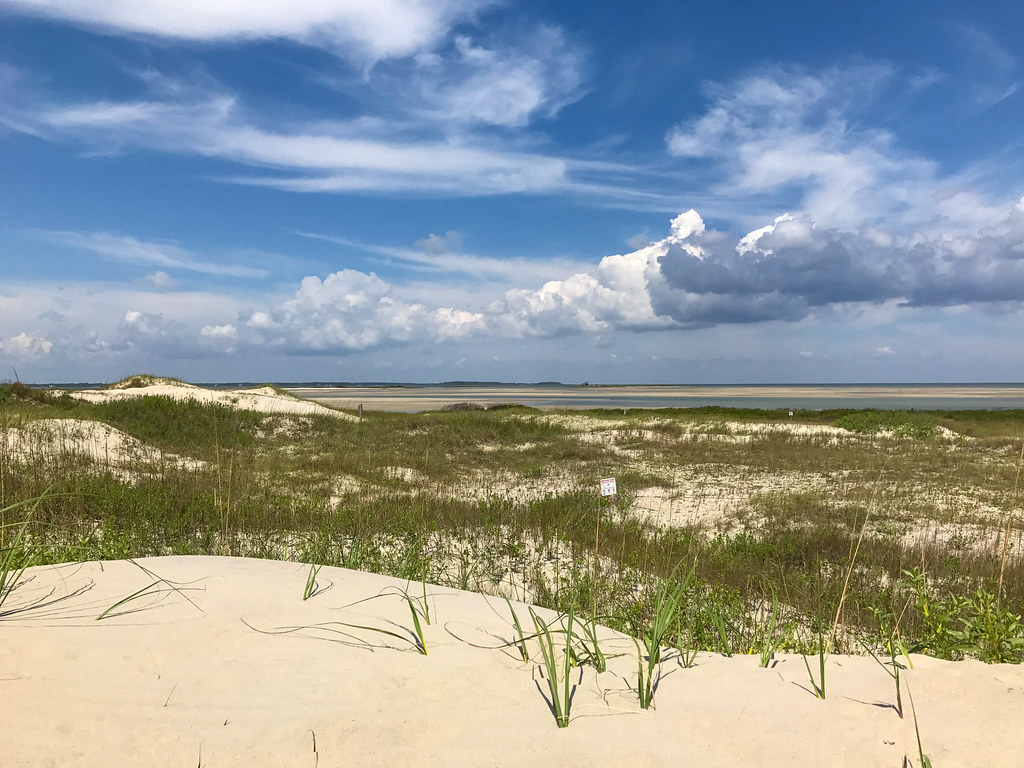
Cape Lookout National Seashore
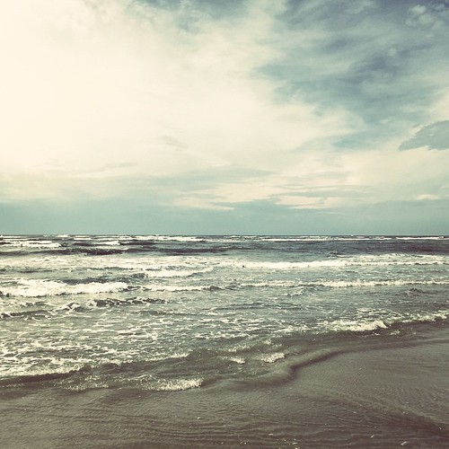
The sea is angry today
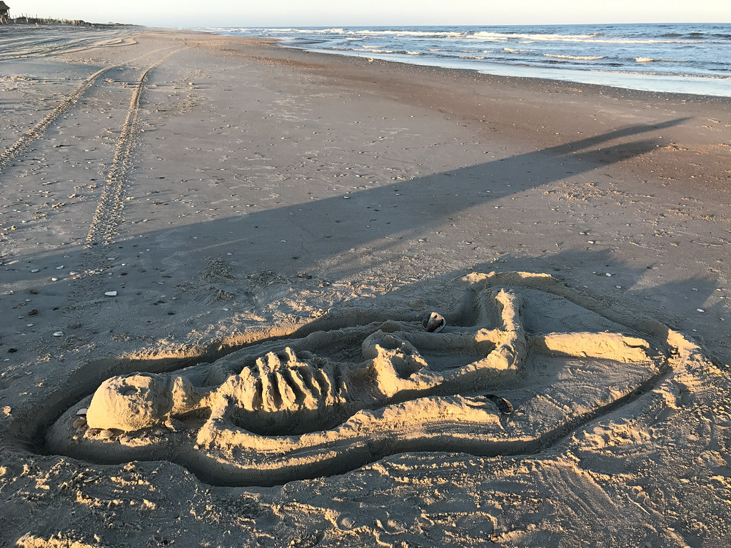
Skeleton Found on Beach

How could vertical stripes be any more flattering than these horizontal ones?

Lögan
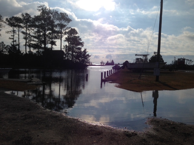
Cedar Creek Campground Marina - Sea Level, NC
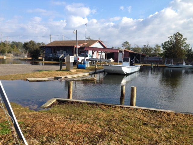
Cedar Creek Campground, Sea Level
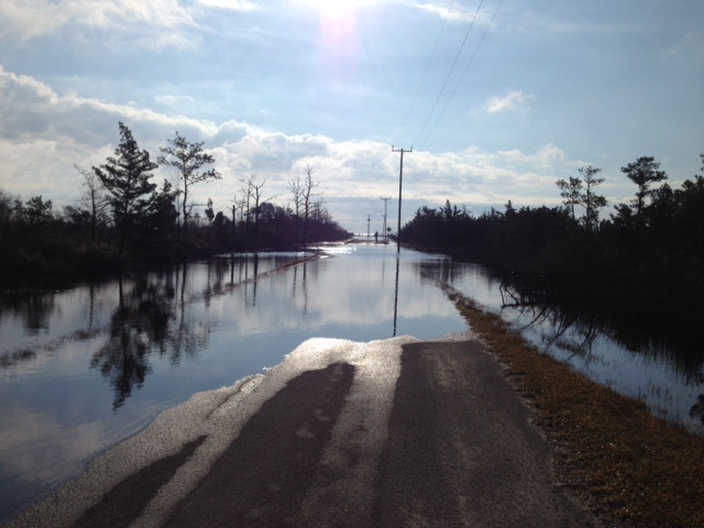
Road to Marina overwashed
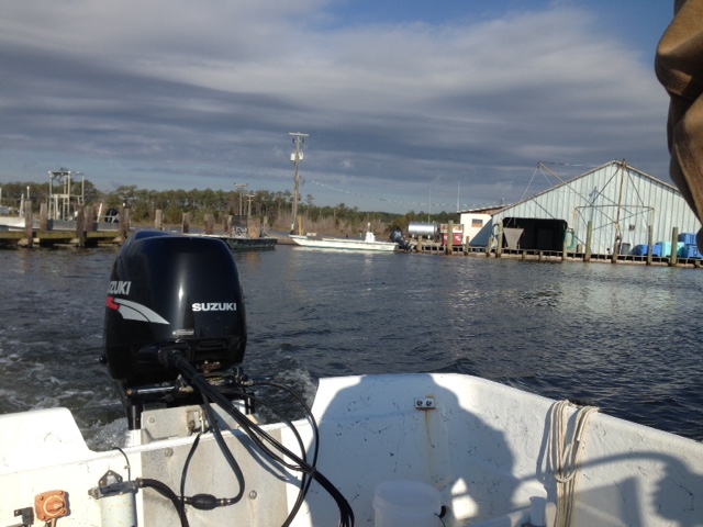
Leaving Sea Level to Ophelia Inlet
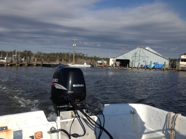
Birders Trip to Ophelia Inlet out of Sea Level
Cedar Creek Campground - Sea Level, NC
Egret St, Smyrna
Egret St Smyrna
Egret St, Smyrna
Egret St, Smyrna
Egret St, Smyrna

Beach reading

Steak, potatoes, and green beans birthday dinner.

Viking piss
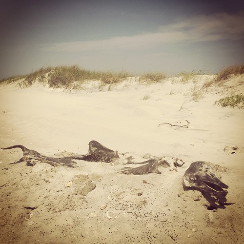
Dead thing, a dolphin or a small whale I think
Mapa de US-70, Stacy, NC, EE. UU.
Buscar otro lugar
Lugares cercanos
US-70, Stacy, NC, EE. UU.
US-70, Stacy, NC, EE. UU.
Stacy, NC, EE. UU.
Stacy Loop Rd, Stacy, NC, EE. UU.
Stacy, NC, EE. UU.
Stacy Loop Rd, Stacy, NC, EE. UU.
Shell Hill Road, Shell Hill Rd, Sea Level, NC, EE. UU.
Shell Hill Rd, Sealevel, NC, EE. UU.
Sealevel, Carolina del Norte, EE. UU.
Nelson Neck Rd, Sealevel, NC, EE. UU.
Nelson Neck Rd, Sealevel, NC, EE. UU.
US Hwy 70 Davis, Davis, NC, EE. UU.
Seashore Dr, Sealevel, NC, EE. UU.
Black Duck Rd, Davis, NC, EE. UU.
Sea Level, NC, EE. UU.
Seashore Dr, Atlantic, NC, EE. UU.
Seashore Drive, Seashore Dr, Atlantic, NC, EE. UU.
Seashore Dr, Atlantic, NC, EE. UU.
Shell Rd, Atlantic, NC, EE. UU.
Seafood Ln, Atlantic, NC, EE. UU.
Búsquedas recientes
- Horas de salida y puesta de sol de Red Dog Mine, AK, USA
- Horas de salida y puesta de sol de Am Bahnhof, Am bhf, Borken, Germany
- Horas de salida y puesta de sol de 4th St E, Sonoma, CA, EE. UU.
- Horas de salida y puesta de sol de Oakland Ave, Williamsport, PA, EE. UU.
- Horas de salida y puesta de sol de Via Roma, Pieranica CR, Italia
- Horas de salida y puesta de sol de Torre del reloj, Grad, Dubrovnik (Ragusa), Croacia
- Horas de salida y puesta de sol de Trelew, Chubut, Argentina
- Horas de salida y puesta de sol de Hartfords Bluff Cir, Mt Pleasant, SC, EE. UU.
- Horas de salida y puesta de sol de Kita Ward, Kumamoto, Japón
- Horas de salida y puesta de sol de Pingtan Island, Pingtan County, Fuzhou, China