Horas de salida y puesta de sol de U.S. 17, US-17, Estados Unidos
Location: Estados Unidos > Carolina del Sur > Condado de Georgetown > Georgetown >
Zona horaria:
America/New_York
Hora local:
2025-06-21 19:22:28
Longitud:
-79.3851965
Latitud:
33.2078417
Salida de sol de hoy:
06:09:12 AM
Puesta de sol de hoy:
08:30:13 PM
La duración del día hoy:
14h 21m 1s
Salida de sol de mañana:
06:09:28 AM
Puesta de sol de mañana:
08:30:23 PM
La duración del día mañana:
14h 20m 55s
Mostrar todas las fechas
| Fecha | Salida de sol | Puesta de sol | Duración del día |
|---|---|---|---|
| 01/01/2025 | 07:21:10 AM | 05:22:09 PM | 10h 0m 59s |
| 02/01/2025 | 07:21:19 AM | 05:22:55 PM | 10h 1m 36s |
| 03/01/2025 | 07:21:26 AM | 05:23:42 PM | 10h 2m 16s |
| 04/01/2025 | 07:21:32 AM | 05:24:30 PM | 10h 2m 58s |
| 05/01/2025 | 07:21:36 AM | 05:25:19 PM | 10h 3m 43s |
| 06/01/2025 | 07:21:38 AM | 05:26:08 PM | 10h 4m 30s |
| 07/01/2025 | 07:21:38 AM | 05:26:59 PM | 10h 5m 21s |
| 08/01/2025 | 07:21:36 AM | 05:27:50 PM | 10h 6m 14s |
| 09/01/2025 | 07:21:33 AM | 05:28:42 PM | 10h 7m 9s |
| 10/01/2025 | 07:21:28 AM | 05:29:35 PM | 10h 8m 7s |
| 11/01/2025 | 07:21:20 AM | 05:30:29 PM | 10h 9m 9s |
| 12/01/2025 | 07:21:12 AM | 05:31:22 PM | 10h 10m 10s |
| 13/01/2025 | 07:21:01 AM | 05:32:17 PM | 10h 11m 16s |
| 14/01/2025 | 07:20:48 AM | 05:33:12 PM | 10h 12m 24s |
| 15/01/2025 | 07:20:34 AM | 05:34:07 PM | 10h 13m 33s |
| 16/01/2025 | 07:20:18 AM | 05:35:03 PM | 10h 14m 45s |
| 17/01/2025 | 07:20:00 AM | 05:35:59 PM | 10h 15m 59s |
| 18/01/2025 | 07:19:40 AM | 05:36:56 PM | 10h 17m 16s |
| 19/01/2025 | 07:19:19 AM | 05:37:53 PM | 10h 18m 34s |
| 20/01/2025 | 07:18:56 AM | 05:38:50 PM | 10h 19m 54s |
| 21/01/2025 | 07:18:31 AM | 05:39:47 PM | 10h 21m 16s |
| 22/01/2025 | 07:18:04 AM | 05:40:44 PM | 10h 22m 40s |
| 23/01/2025 | 07:17:36 AM | 05:41:42 PM | 10h 24m 6s |
| 24/01/2025 | 07:17:06 AM | 05:42:40 PM | 10h 25m 34s |
| 25/01/2025 | 07:16:34 AM | 05:43:37 PM | 10h 27m 3s |
| 26/01/2025 | 07:16:00 AM | 05:44:35 PM | 10h 28m 35s |
| 27/01/2025 | 07:15:26 AM | 05:45:33 PM | 10h 30m 7s |
| 28/01/2025 | 07:14:49 AM | 05:46:31 PM | 10h 31m 42s |
| 29/01/2025 | 07:14:11 AM | 05:47:28 PM | 10h 33m 17s |
| 30/01/2025 | 07:13:31 AM | 05:48:26 PM | 10h 34m 55s |
| 31/01/2025 | 07:12:50 AM | 05:49:23 PM | 10h 36m 33s |
| 01/02/2025 | 07:12:07 AM | 05:50:21 PM | 10h 38m 14s |
| 02/02/2025 | 07:11:23 AM | 05:51:18 PM | 10h 39m 55s |
| 03/02/2025 | 07:10:38 AM | 05:52:15 PM | 10h 41m 37s |
| 04/02/2025 | 07:09:51 AM | 05:53:12 PM | 10h 43m 21s |
| 05/02/2025 | 07:09:02 AM | 05:54:08 PM | 10h 45m 6s |
| 06/02/2025 | 07:08:12 AM | 05:55:04 PM | 10h 46m 52s |
| 07/02/2025 | 07:07:21 AM | 05:56:01 PM | 10h 48m 40s |
| 08/02/2025 | 07:06:29 AM | 05:56:56 PM | 10h 50m 27s |
| 09/02/2025 | 07:05:35 AM | 05:57:52 PM | 10h 52m 17s |
| 10/02/2025 | 07:04:40 AM | 05:58:47 PM | 10h 54m 7s |
| 11/02/2025 | 07:03:44 AM | 05:59:42 PM | 10h 55m 58s |
| 12/02/2025 | 07:02:47 AM | 06:00:37 PM | 10h 57m 50s |
| 13/02/2025 | 07:01:48 AM | 06:01:31 PM | 10h 59m 43s |
| 14/02/2025 | 07:00:49 AM | 06:02:25 PM | 11h 1m 36s |
| 15/02/2025 | 06:59:48 AM | 06:03:19 PM | 11h 3m 31s |
| 16/02/2025 | 06:58:46 AM | 06:04:12 PM | 11h 5m 26s |
| 17/02/2025 | 06:57:43 AM | 06:05:05 PM | 11h 7m 22s |
| 18/02/2025 | 06:56:40 AM | 06:05:57 PM | 11h 9m 17s |
| 19/02/2025 | 06:55:35 AM | 06:06:50 PM | 11h 11m 15s |
| 20/02/2025 | 06:54:29 AM | 06:07:42 PM | 11h 13m 13s |
| 21/02/2025 | 06:53:22 AM | 06:08:33 PM | 11h 15m 11s |
| 22/02/2025 | 06:52:15 AM | 06:09:24 PM | 11h 17m 9s |
| 23/02/2025 | 06:51:06 AM | 06:10:15 PM | 11h 19m 9s |
| 24/02/2025 | 06:49:57 AM | 06:11:06 PM | 11h 21m 9s |
| 25/02/2025 | 06:48:47 AM | 06:11:56 PM | 11h 23m 9s |
| 26/02/2025 | 06:47:36 AM | 06:12:46 PM | 11h 25m 10s |
| 27/02/2025 | 06:46:25 AM | 06:13:35 PM | 11h 27m 10s |
| 28/02/2025 | 06:45:13 AM | 06:14:24 PM | 11h 29m 11s |
| 01/03/2025 | 06:44:00 AM | 06:15:13 PM | 11h 31m 13s |
| 02/03/2025 | 06:42:46 AM | 06:16:01 PM | 11h 33m 15s |
| 03/03/2025 | 06:41:32 AM | 06:16:50 PM | 11h 35m 18s |
| 04/03/2025 | 06:40:17 AM | 06:17:37 PM | 11h 37m 20s |
| 05/03/2025 | 06:39:02 AM | 06:18:25 PM | 11h 39m 23s |
| 06/03/2025 | 06:37:46 AM | 06:19:12 PM | 11h 41m 26s |
| 07/03/2025 | 06:36:30 AM | 06:19:59 PM | 11h 43m 29s |
| 08/03/2025 | 06:35:14 AM | 06:20:46 PM | 11h 45m 32s |
| 09/03/2025 | 07:34:00 AM | 07:21:30 PM | 11h 47m 30s |
| 10/03/2025 | 07:32:42 AM | 07:22:17 PM | 11h 49m 35s |
| 11/03/2025 | 07:31:24 AM | 07:23:02 PM | 11h 51m 38s |
| 12/03/2025 | 07:30:06 AM | 07:23:48 PM | 11h 53m 42s |
| 13/03/2025 | 07:28:47 AM | 07:24:34 PM | 11h 55m 47s |
| 14/03/2025 | 07:27:29 AM | 07:25:19 PM | 11h 57m 50s |
| 15/03/2025 | 07:26:10 AM | 07:26:04 PM | 11h 59m 54s |
| 16/03/2025 | 07:24:50 AM | 07:26:49 PM | 12h 1m 59s |
| 17/03/2025 | 07:23:31 AM | 07:27:34 PM | 12h 4m 3s |
| 18/03/2025 | 07:22:11 AM | 07:28:18 PM | 12h 6m 7s |
| 19/03/2025 | 07:20:51 AM | 07:29:03 PM | 12h 8m 12s |
| 20/03/2025 | 07:19:32 AM | 07:29:47 PM | 12h 10m 15s |
| 21/03/2025 | 07:18:12 AM | 07:30:31 PM | 12h 12m 19s |
| 22/03/2025 | 07:16:52 AM | 07:31:15 PM | 12h 14m 23s |
| 23/03/2025 | 07:15:32 AM | 07:31:59 PM | 12h 16m 27s |
| 24/03/2025 | 07:14:12 AM | 07:32:43 PM | 12h 18m 31s |
| 25/03/2025 | 07:12:52 AM | 07:33:26 PM | 12h 20m 34s |
| 26/03/2025 | 07:11:32 AM | 07:34:10 PM | 12h 22m 38s |
| 27/03/2025 | 07:10:12 AM | 07:34:54 PM | 12h 24m 42s |
| 28/03/2025 | 07:08:52 AM | 07:35:37 PM | 12h 26m 45s |
| 29/03/2025 | 07:07:33 AM | 07:36:21 PM | 12h 28m 48s |
| 30/03/2025 | 07:06:14 AM | 07:37:04 PM | 12h 30m 50s |
| 31/03/2025 | 07:04:54 AM | 07:37:48 PM | 12h 32m 54s |
| 01/04/2025 | 07:03:36 AM | 07:38:31 PM | 12h 34m 55s |
| 02/04/2025 | 07:02:17 AM | 07:39:15 PM | 12h 36m 58s |
| 03/04/2025 | 07:00:59 AM | 07:39:58 PM | 12h 38m 59s |
| 04/04/2025 | 06:59:41 AM | 07:40:42 PM | 12h 41m 1s |
| 05/04/2025 | 06:58:23 AM | 07:41:25 PM | 12h 43m 2s |
| 06/04/2025 | 06:57:06 AM | 07:42:09 PM | 12h 45m 3s |
| 07/04/2025 | 06:55:49 AM | 07:42:52 PM | 12h 47m 3s |
| 08/04/2025 | 06:54:33 AM | 07:43:36 PM | 12h 49m 3s |
| 09/04/2025 | 06:53:17 AM | 07:44:20 PM | 12h 51m 3s |
| 10/04/2025 | 06:52:01 AM | 07:45:03 PM | 12h 53m 2s |
| 11/04/2025 | 06:50:47 AM | 07:45:47 PM | 12h 55m 0s |
| 12/04/2025 | 06:49:32 AM | 07:46:31 PM | 12h 56m 59s |
| 13/04/2025 | 06:48:18 AM | 07:47:15 PM | 12h 58m 57s |
| 14/04/2025 | 06:47:05 AM | 07:47:59 PM | 13h 0m 54s |
| 15/04/2025 | 06:45:53 AM | 07:48:43 PM | 13h 2m 50s |
| 16/04/2025 | 06:44:41 AM | 07:49:27 PM | 13h 4m 46s |
| 17/04/2025 | 06:43:30 AM | 07:50:12 PM | 13h 6m 42s |
| 18/04/2025 | 06:42:19 AM | 07:50:56 PM | 13h 8m 37s |
| 19/04/2025 | 06:41:10 AM | 07:51:40 PM | 13h 10m 30s |
| 20/04/2025 | 06:40:01 AM | 07:52:25 PM | 13h 12m 24s |
| 21/04/2025 | 06:38:53 AM | 07:53:10 PM | 13h 14m 17s |
| 22/04/2025 | 06:37:46 AM | 07:53:54 PM | 13h 16m 8s |
| 23/04/2025 | 06:36:39 AM | 07:54:39 PM | 13h 18m 0s |
| 24/04/2025 | 06:35:34 AM | 07:55:24 PM | 13h 19m 50s |
| 25/04/2025 | 06:34:29 AM | 07:56:09 PM | 13h 21m 40s |
| 26/04/2025 | 06:33:25 AM | 07:56:54 PM | 13h 23m 29s |
| 27/04/2025 | 06:32:23 AM | 07:57:39 PM | 13h 25m 16s |
| 28/04/2025 | 06:31:21 AM | 07:58:24 PM | 13h 27m 3s |
| 29/04/2025 | 06:30:20 AM | 07:59:09 PM | 13h 28m 49s |
| 30/04/2025 | 06:29:21 AM | 07:59:54 PM | 13h 30m 33s |
| 01/05/2025 | 06:28:22 AM | 08:00:39 PM | 13h 32m 17s |
| 02/05/2025 | 06:27:25 AM | 08:01:24 PM | 13h 33m 59s |
| 03/05/2025 | 06:26:28 AM | 08:02:09 PM | 13h 35m 41s |
| 04/05/2025 | 06:25:33 AM | 08:02:54 PM | 13h 37m 21s |
| 05/05/2025 | 06:24:39 AM | 08:03:39 PM | 13h 39m 0s |
| 06/05/2025 | 06:23:46 AM | 08:04:24 PM | 13h 40m 38s |
| 07/05/2025 | 06:22:55 AM | 08:05:09 PM | 13h 42m 14s |
| 08/05/2025 | 06:22:04 AM | 08:05:53 PM | 13h 43m 49s |
| 09/05/2025 | 06:21:15 AM | 08:06:38 PM | 13h 45m 23s |
| 10/05/2025 | 06:20:27 AM | 08:07:23 PM | 13h 46m 56s |
| 11/05/2025 | 06:19:41 AM | 08:08:07 PM | 13h 48m 26s |
| 12/05/2025 | 06:18:56 AM | 08:08:51 PM | 13h 49m 55s |
| 13/05/2025 | 06:18:12 AM | 08:09:35 PM | 13h 51m 23s |
| 14/05/2025 | 06:17:29 AM | 08:10:19 PM | 13h 52m 50s |
| 15/05/2025 | 06:16:48 AM | 08:11:02 PM | 13h 54m 14s |
| 16/05/2025 | 06:16:09 AM | 08:11:45 PM | 13h 55m 36s |
| 17/05/2025 | 06:15:30 AM | 08:12:28 PM | 13h 56m 58s |
| 18/05/2025 | 06:14:53 AM | 08:13:11 PM | 13h 58m 18s |
| 19/05/2025 | 06:14:18 AM | 08:13:53 PM | 13h 59m 35s |
| 20/05/2025 | 06:13:44 AM | 08:14:35 PM | 14h 0m 51s |
| 21/05/2025 | 06:13:12 AM | 08:15:16 PM | 14h 2m 4s |
| 22/05/2025 | 06:12:41 AM | 08:15:57 PM | 14h 3m 16s |
| 23/05/2025 | 06:12:11 AM | 08:16:37 PM | 14h 4m 26s |
| 24/05/2025 | 06:11:43 AM | 08:17:17 PM | 14h 5m 34s |
| 25/05/2025 | 06:11:17 AM | 08:17:56 PM | 14h 6m 39s |
| 26/05/2025 | 06:10:52 AM | 08:18:35 PM | 14h 7m 43s |
| 27/05/2025 | 06:10:29 AM | 08:19:13 PM | 14h 8m 44s |
| 28/05/2025 | 06:10:07 AM | 08:19:51 PM | 14h 9m 44s |
| 29/05/2025 | 06:09:47 AM | 08:20:28 PM | 14h 10m 41s |
| 30/05/2025 | 06:09:28 AM | 08:21:04 PM | 14h 11m 36s |
| 31/05/2025 | 06:09:11 AM | 08:21:39 PM | 14h 12m 28s |
| 01/06/2025 | 06:08:56 AM | 08:22:14 PM | 14h 13m 18s |
| 02/06/2025 | 06:08:42 AM | 08:22:47 PM | 14h 14m 5s |
| 03/06/2025 | 06:08:29 AM | 08:23:20 PM | 14h 14m 51s |
| 04/06/2025 | 06:08:18 AM | 08:23:52 PM | 14h 15m 34s |
| 05/06/2025 | 06:08:09 AM | 08:24:23 PM | 14h 16m 14s |
| 06/06/2025 | 06:08:01 AM | 08:24:53 PM | 14h 16m 52s |
| 07/06/2025 | 06:07:55 AM | 08:25:22 PM | 14h 17m 27s |
| 08/06/2025 | 06:07:51 AM | 08:25:50 PM | 14h 17m 59s |
| 09/06/2025 | 06:07:47 AM | 08:26:17 PM | 14h 18m 30s |
| 10/06/2025 | 06:07:46 AM | 08:26:43 PM | 14h 18m 57s |
| 11/06/2025 | 06:07:46 AM | 08:27:08 PM | 14h 19m 22s |
| 12/06/2025 | 06:07:47 AM | 08:27:32 PM | 14h 19m 45s |
| 13/06/2025 | 06:07:50 AM | 08:27:54 PM | 14h 20m 4s |
| 14/06/2025 | 06:07:54 AM | 08:28:16 PM | 14h 20m 22s |
| 15/06/2025 | 06:08:00 AM | 08:28:36 PM | 14h 20m 36s |
| 16/06/2025 | 06:08:08 AM | 08:28:54 PM | 14h 20m 46s |
| 17/06/2025 | 06:08:16 AM | 08:29:12 PM | 14h 20m 56s |
| 18/06/2025 | 06:08:26 AM | 08:29:28 PM | 14h 21m 2s |
| 19/06/2025 | 06:08:38 AM | 08:29:43 PM | 14h 21m 5s |
| 20/06/2025 | 06:08:51 AM | 08:29:56 PM | 14h 21m 5s |
| 21/06/2025 | 06:09:05 AM | 08:30:08 PM | 14h 21m 3s |
| 22/06/2025 | 06:09:20 AM | 08:30:18 PM | 14h 20m 58s |
| 23/06/2025 | 06:09:37 AM | 08:30:27 PM | 14h 20m 50s |
| 24/06/2025 | 06:09:55 AM | 08:30:35 PM | 14h 20m 40s |
| 25/06/2025 | 06:10:14 AM | 08:30:41 PM | 14h 20m 27s |
| 26/06/2025 | 06:10:34 AM | 08:30:46 PM | 14h 20m 12s |
| 27/06/2025 | 06:10:56 AM | 08:30:49 PM | 14h 19m 53s |
| 28/06/2025 | 06:11:18 AM | 08:30:51 PM | 14h 19m 33s |
| 29/06/2025 | 06:11:42 AM | 08:30:51 PM | 14h 19m 9s |
| 30/06/2025 | 06:12:07 AM | 08:30:49 PM | 14h 18m 42s |
| 01/07/2025 | 06:12:33 AM | 08:30:46 PM | 14h 18m 13s |
| 02/07/2025 | 06:12:59 AM | 08:30:41 PM | 14h 17m 42s |
| 03/07/2025 | 06:13:27 AM | 08:30:35 PM | 14h 17m 8s |
| 04/07/2025 | 06:13:56 AM | 08:30:27 PM | 14h 16m 31s |
| 05/07/2025 | 06:14:25 AM | 08:30:18 PM | 14h 15m 53s |
| 06/07/2025 | 06:14:56 AM | 08:30:07 PM | 14h 15m 11s |
| 07/07/2025 | 06:15:27 AM | 08:29:54 PM | 14h 14m 27s |
| 08/07/2025 | 06:15:59 AM | 08:29:40 PM | 14h 13m 41s |
| 09/07/2025 | 06:16:32 AM | 08:29:24 PM | 14h 12m 52s |
| 10/07/2025 | 06:17:06 AM | 08:29:07 PM | 14h 12m 1s |
| 11/07/2025 | 06:17:40 AM | 08:28:47 PM | 14h 11m 7s |
| 12/07/2025 | 06:18:15 AM | 08:28:27 PM | 14h 10m 12s |
| 13/07/2025 | 06:18:51 AM | 08:28:05 PM | 14h 9m 14s |
| 14/07/2025 | 06:19:27 AM | 08:27:41 PM | 14h 8m 14s |
| 15/07/2025 | 06:20:04 AM | 08:27:15 PM | 14h 7m 11s |
| 16/07/2025 | 06:20:41 AM | 08:26:48 PM | 14h 6m 7s |
| 17/07/2025 | 06:21:19 AM | 08:26:20 PM | 14h 5m 1s |
| 18/07/2025 | 06:21:57 AM | 08:25:50 PM | 14h 3m 53s |
| 19/07/2025 | 06:22:35 AM | 08:25:18 PM | 14h 2m 43s |
| 20/07/2025 | 06:23:14 AM | 08:24:45 PM | 14h 1m 31s |
| 21/07/2025 | 06:23:54 AM | 08:24:10 PM | 14h 0m 16s |
| 22/07/2025 | 06:24:34 AM | 08:23:34 PM | 13h 59m 0s |
| 23/07/2025 | 06:25:14 AM | 08:22:56 PM | 13h 57m 42s |
| 24/07/2025 | 06:25:54 AM | 08:22:17 PM | 13h 56m 23s |
| 25/07/2025 | 06:26:35 AM | 08:21:37 PM | 13h 55m 2s |
| 26/07/2025 | 06:27:15 AM | 08:20:55 PM | 13h 53m 40s |
| 27/07/2025 | 06:27:56 AM | 08:20:11 PM | 13h 52m 15s |
| 28/07/2025 | 06:28:38 AM | 08:19:27 PM | 13h 50m 49s |
| 29/07/2025 | 06:29:19 AM | 08:18:40 PM | 13h 49m 21s |
| 30/07/2025 | 06:30:01 AM | 08:17:53 PM | 13h 47m 52s |
| 31/07/2025 | 06:30:42 AM | 08:17:04 PM | 13h 46m 22s |
| 01/08/2025 | 06:31:24 AM | 08:16:14 PM | 13h 44m 50s |
| 02/08/2025 | 06:32:06 AM | 08:15:22 PM | 13h 43m 16s |
| 03/08/2025 | 06:32:48 AM | 08:14:30 PM | 13h 41m 42s |
| 04/08/2025 | 06:33:30 AM | 08:13:36 PM | 13h 40m 6s |
| 05/08/2025 | 06:34:11 AM | 08:12:40 PM | 13h 38m 29s |
| 06/08/2025 | 06:34:53 AM | 08:11:44 PM | 13h 36m 51s |
| 07/08/2025 | 06:35:35 AM | 08:10:47 PM | 13h 35m 12s |
| 08/08/2025 | 06:36:17 AM | 08:09:48 PM | 13h 33m 31s |
| 09/08/2025 | 06:36:59 AM | 08:08:48 PM | 13h 31m 49s |
| 10/08/2025 | 06:37:41 AM | 08:07:47 PM | 13h 30m 6s |
| 11/08/2025 | 06:38:23 AM | 08:06:45 PM | 13h 28m 22s |
| 12/08/2025 | 06:39:04 AM | 08:05:42 PM | 13h 26m 38s |
| 13/08/2025 | 06:39:46 AM | 08:04:38 PM | 13h 24m 52s |
| 14/08/2025 | 06:40:27 AM | 08:03:33 PM | 13h 23m 6s |
| 15/08/2025 | 06:41:09 AM | 08:02:27 PM | 13h 21m 18s |
| 16/08/2025 | 06:41:50 AM | 08:01:20 PM | 13h 19m 30s |
| 17/08/2025 | 06:42:31 AM | 08:00:12 PM | 13h 17m 41s |
| 18/08/2025 | 06:43:13 AM | 07:59:04 PM | 13h 15m 51s |
| 19/08/2025 | 06:43:54 AM | 07:57:54 PM | 13h 14m 0s |
| 20/08/2025 | 06:44:35 AM | 07:56:44 PM | 13h 12m 9s |
| 21/08/2025 | 06:45:15 AM | 07:55:32 PM | 13h 10m 17s |
| 22/08/2025 | 06:45:56 AM | 07:54:20 PM | 13h 8m 24s |
| 23/08/2025 | 06:46:37 AM | 07:53:08 PM | 13h 6m 31s |
| 24/08/2025 | 06:47:17 AM | 07:51:54 PM | 13h 4m 37s |
| 25/08/2025 | 06:47:57 AM | 07:50:40 PM | 13h 2m 43s |
| 26/08/2025 | 06:48:38 AM | 07:49:25 PM | 13h 0m 47s |
| 27/08/2025 | 06:49:18 AM | 07:48:10 PM | 12h 58m 52s |
| 28/08/2025 | 06:49:58 AM | 07:46:54 PM | 12h 56m 56s |
| 29/08/2025 | 06:50:38 AM | 07:45:37 PM | 12h 54m 59s |
| 30/08/2025 | 06:51:17 AM | 07:44:20 PM | 12h 53m 3s |
| 31/08/2025 | 06:51:57 AM | 07:43:02 PM | 12h 51m 5s |
| 01/09/2025 | 06:52:37 AM | 07:41:44 PM | 12h 49m 7s |
| 02/09/2025 | 06:53:16 AM | 07:40:25 PM | 12h 47m 9s |
| 03/09/2025 | 06:53:56 AM | 07:39:06 PM | 12h 45m 10s |
| 04/09/2025 | 06:54:35 AM | 07:37:47 PM | 12h 43m 12s |
| 05/09/2025 | 06:55:15 AM | 07:36:27 PM | 12h 41m 12s |
| 06/09/2025 | 06:55:54 AM | 07:35:07 PM | 12h 39m 13s |
| 07/09/2025 | 06:56:33 AM | 07:33:46 PM | 12h 37m 13s |
| 08/09/2025 | 06:57:12 AM | 07:32:25 PM | 12h 35m 13s |
| 09/09/2025 | 06:57:52 AM | 07:31:04 PM | 12h 33m 12s |
| 10/09/2025 | 06:58:31 AM | 07:29:42 PM | 12h 31m 11s |
| 11/09/2025 | 06:59:10 AM | 07:28:21 PM | 12h 29m 11s |
| 12/09/2025 | 06:59:49 AM | 07:26:59 PM | 12h 27m 10s |
| 13/09/2025 | 07:00:29 AM | 07:25:37 PM | 12h 25m 8s |
| 14/09/2025 | 07:01:08 AM | 07:24:15 PM | 12h 23m 7s |
| 15/09/2025 | 07:01:47 AM | 07:22:52 PM | 12h 21m 5s |
| 16/09/2025 | 07:02:27 AM | 07:21:30 PM | 12h 19m 3s |
| 17/09/2025 | 07:03:06 AM | 07:20:08 PM | 12h 17m 2s |
| 18/09/2025 | 07:03:46 AM | 07:18:45 PM | 12h 14m 59s |
| 19/09/2025 | 07:04:26 AM | 07:17:23 PM | 12h 12m 57s |
| 20/09/2025 | 07:05:05 AM | 07:16:01 PM | 12h 10m 56s |
| 21/09/2025 | 07:05:45 AM | 07:14:38 PM | 12h 8m 53s |
| 22/09/2025 | 07:06:25 AM | 07:13:16 PM | 12h 6m 51s |
| 23/09/2025 | 07:07:06 AM | 07:11:54 PM | 12h 4m 48s |
| 24/09/2025 | 07:07:46 AM | 07:10:32 PM | 12h 2m 46s |
| 25/09/2025 | 07:08:26 AM | 07:09:10 PM | 12h 0m 44s |
| 26/09/2025 | 07:09:07 AM | 07:07:49 PM | 11h 58m 42s |
| 27/09/2025 | 07:09:48 AM | 07:06:27 PM | 11h 56m 39s |
| 28/09/2025 | 07:10:29 AM | 07:05:06 PM | 11h 54m 37s |
| 29/09/2025 | 07:11:10 AM | 07:03:46 PM | 11h 52m 36s |
| 30/09/2025 | 07:11:52 AM | 07:02:25 PM | 11h 50m 33s |
| 01/10/2025 | 07:12:34 AM | 07:01:05 PM | 11h 48m 31s |
| 02/10/2025 | 07:13:16 AM | 06:59:45 PM | 11h 46m 29s |
| 03/10/2025 | 07:13:58 AM | 06:58:26 PM | 11h 44m 28s |
| 04/10/2025 | 07:14:41 AM | 06:57:07 PM | 11h 42m 26s |
| 05/10/2025 | 07:15:24 AM | 06:55:49 PM | 11h 40m 25s |
| 06/10/2025 | 07:16:07 AM | 06:54:31 PM | 11h 38m 24s |
| 07/10/2025 | 07:16:50 AM | 06:53:13 PM | 11h 36m 23s |
| 08/10/2025 | 07:17:34 AM | 06:51:57 PM | 11h 34m 23s |
| 09/10/2025 | 07:18:18 AM | 06:50:40 PM | 11h 32m 22s |
| 10/10/2025 | 07:19:03 AM | 06:49:25 PM | 11h 30m 22s |
| 11/10/2025 | 07:19:47 AM | 06:48:10 PM | 11h 28m 23s |
| 12/10/2025 | 07:20:33 AM | 06:46:55 PM | 11h 26m 22s |
| 13/10/2025 | 07:21:18 AM | 06:45:42 PM | 11h 24m 24s |
| 14/10/2025 | 07:22:04 AM | 06:44:29 PM | 11h 22m 25s |
| 15/10/2025 | 07:22:50 AM | 06:43:17 PM | 11h 20m 27s |
| 16/10/2025 | 07:23:37 AM | 06:42:06 PM | 11h 18m 29s |
| 17/10/2025 | 07:24:24 AM | 06:40:55 PM | 11h 16m 31s |
| 18/10/2025 | 07:25:11 AM | 06:39:46 PM | 11h 14m 35s |
| 19/10/2025 | 07:25:59 AM | 06:38:37 PM | 11h 12m 38s |
| 20/10/2025 | 07:26:47 AM | 06:37:29 PM | 11h 10m 42s |
| 21/10/2025 | 07:27:35 AM | 06:36:22 PM | 11h 8m 47s |
| 22/10/2025 | 07:28:24 AM | 06:35:16 PM | 11h 6m 52s |
| 23/10/2025 | 07:29:13 AM | 06:34:12 PM | 11h 4m 59s |
| 24/10/2025 | 07:30:03 AM | 06:33:08 PM | 11h 3m 5s |
| 25/10/2025 | 07:30:53 AM | 06:32:05 PM | 11h 1m 12s |
| 26/10/2025 | 07:31:43 AM | 06:31:03 PM | 10h 59m 20s |
| 27/10/2025 | 07:32:34 AM | 06:30:03 PM | 10h 57m 29s |
| 28/10/2025 | 07:33:25 AM | 06:29:03 PM | 10h 55m 38s |
| 29/10/2025 | 07:34:17 AM | 06:28:05 PM | 10h 53m 48s |
| 30/10/2025 | 07:35:08 AM | 06:27:08 PM | 10h 52m 0s |
| 31/10/2025 | 07:36:00 AM | 06:26:13 PM | 10h 50m 13s |
| 01/11/2025 | 07:36:53 AM | 06:25:18 PM | 10h 48m 25s |
| 02/11/2025 | 06:37:48 AM | 05:24:23 PM | 10h 46m 35s |
| 03/11/2025 | 06:38:41 AM | 05:23:31 PM | 10h 44m 50s |
| 04/11/2025 | 06:39:34 AM | 05:22:41 PM | 10h 43m 7s |
| 05/11/2025 | 06:40:28 AM | 05:21:52 PM | 10h 41m 24s |
| 06/11/2025 | 06:41:22 AM | 05:21:05 PM | 10h 39m 43s |
| 07/11/2025 | 06:42:16 AM | 05:20:19 PM | 10h 38m 3s |
| 08/11/2025 | 06:43:10 AM | 05:19:34 PM | 10h 36m 24s |
| 09/11/2025 | 06:44:04 AM | 05:18:51 PM | 10h 34m 47s |
| 10/11/2025 | 06:44:59 AM | 05:18:09 PM | 10h 33m 10s |
| 11/11/2025 | 06:45:54 AM | 05:17:30 PM | 10h 31m 36s |
| 12/11/2025 | 06:46:49 AM | 05:16:51 PM | 10h 30m 2s |
| 13/11/2025 | 06:47:44 AM | 05:16:14 PM | 10h 28m 30s |
| 14/11/2025 | 06:48:39 AM | 05:15:39 PM | 10h 27m 0s |
| 15/11/2025 | 06:49:34 AM | 05:15:06 PM | 10h 25m 32s |
| 16/11/2025 | 06:50:29 AM | 05:14:34 PM | 10h 24m 5s |
| 17/11/2025 | 06:51:24 AM | 05:14:04 PM | 10h 22m 40s |
| 18/11/2025 | 06:52:19 AM | 05:13:35 PM | 10h 21m 16s |
| 19/11/2025 | 06:53:14 AM | 05:13:09 PM | 10h 19m 55s |
| 20/11/2025 | 06:54:08 AM | 05:12:44 PM | 10h 18m 36s |
| 21/11/2025 | 06:55:03 AM | 05:12:21 PM | 10h 17m 18s |
| 22/11/2025 | 06:55:57 AM | 05:11:59 PM | 10h 16m 2s |
| 23/11/2025 | 06:56:51 AM | 05:11:40 PM | 10h 14m 49s |
| 24/11/2025 | 06:57:45 AM | 05:11:22 PM | 10h 13m 37s |
| 25/11/2025 | 06:58:39 AM | 05:11:06 PM | 10h 12m 27s |
| 26/11/2025 | 06:59:32 AM | 05:10:52 PM | 10h 11m 20s |
| 27/11/2025 | 07:00:25 AM | 05:10:40 PM | 10h 10m 15s |
| 28/11/2025 | 07:01:17 AM | 05:10:29 PM | 10h 9m 12s |
| 29/11/2025 | 07:02:09 AM | 05:10:21 PM | 10h 8m 12s |
| 30/11/2025 | 07:03:00 AM | 05:10:14 PM | 10h 7m 14s |
| 01/12/2025 | 07:03:51 AM | 05:10:09 PM | 10h 6m 18s |
| 02/12/2025 | 07:04:41 AM | 05:10:06 PM | 10h 5m 25s |
| 03/12/2025 | 07:05:30 AM | 05:10:05 PM | 10h 4m 35s |
| 04/12/2025 | 07:06:18 AM | 05:10:06 PM | 10h 3m 48s |
| 05/12/2025 | 07:07:06 AM | 05:10:09 PM | 10h 3m 3s |
| 06/12/2025 | 07:07:53 AM | 05:10:13 PM | 10h 2m 20s |
| 07/12/2025 | 07:08:39 AM | 05:10:20 PM | 10h 1m 41s |
| 08/12/2025 | 07:09:25 AM | 05:10:28 PM | 10h 1m 3s |
| 09/12/2025 | 07:10:09 AM | 05:10:38 PM | 10h 0m 29s |
| 10/12/2025 | 07:10:52 AM | 05:10:49 PM | 9h 59m 57s |
| 11/12/2025 | 07:11:34 AM | 05:11:03 PM | 9h 59m 29s |
| 12/12/2025 | 07:12:15 AM | 05:11:18 PM | 9h 59m 3s |
| 13/12/2025 | 07:12:55 AM | 05:11:36 PM | 9h 58m 41s |
| 14/12/2025 | 07:13:34 AM | 05:11:54 PM | 9h 58m 20s |
| 15/12/2025 | 07:14:12 AM | 05:12:15 PM | 9h 58m 3s |
| 16/12/2025 | 07:14:48 AM | 05:12:37 PM | 9h 57m 49s |
| 17/12/2025 | 07:15:23 AM | 05:13:01 PM | 9h 57m 38s |
| 18/12/2025 | 07:15:56 AM | 05:13:27 PM | 9h 57m 31s |
| 19/12/2025 | 07:16:29 AM | 05:13:54 PM | 9h 57m 25s |
| 20/12/2025 | 07:17:00 AM | 05:14:23 PM | 9h 57m 23s |
| 21/12/2025 | 07:17:29 AM | 05:14:53 PM | 9h 57m 24s |
| 22/12/2025 | 07:17:57 AM | 05:15:25 PM | 9h 57m 28s |
| 23/12/2025 | 07:18:23 AM | 05:15:58 PM | 9h 57m 35s |
| 24/12/2025 | 07:18:48 AM | 05:16:33 PM | 9h 57m 45s |
| 25/12/2025 | 07:19:11 AM | 05:17:09 PM | 9h 57m 58s |
| 26/12/2025 | 07:19:33 AM | 05:17:46 PM | 9h 58m 13s |
| 27/12/2025 | 07:19:53 AM | 05:18:25 PM | 9h 58m 32s |
| 28/12/2025 | 07:20:11 AM | 05:19:05 PM | 9h 58m 54s |
| 29/12/2025 | 07:20:28 AM | 05:19:47 PM | 9h 59m 19s |
| 30/12/2025 | 07:20:42 AM | 05:20:29 PM | 9h 59m 47s |
| 31/12/2025 | 07:20:56 AM | 05:21:13 PM | 10h 0m 17s |
Fotos

"Last Catch" #shrimpboat,#silouette,#coastalcarolina,#coastalart,#shrimper,#sunsets,#southcarolina,#droppinganchor,#digitalartist,#mcclellanville
Day 651 - Sunset
2018_EXPD_Carolina Swamp to Sea 3
2018_EXPD_Carolina Swamp to Sea 4

Day 1069 - Georgetown Sunrise
I'm gonna drink muddy water...
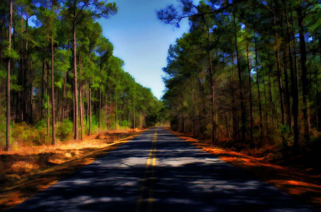
Hampton Plantation
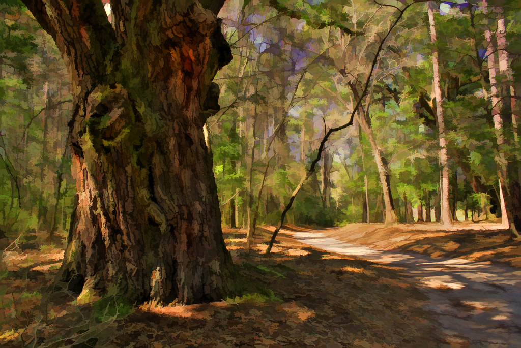
Road to Hampton Plantation
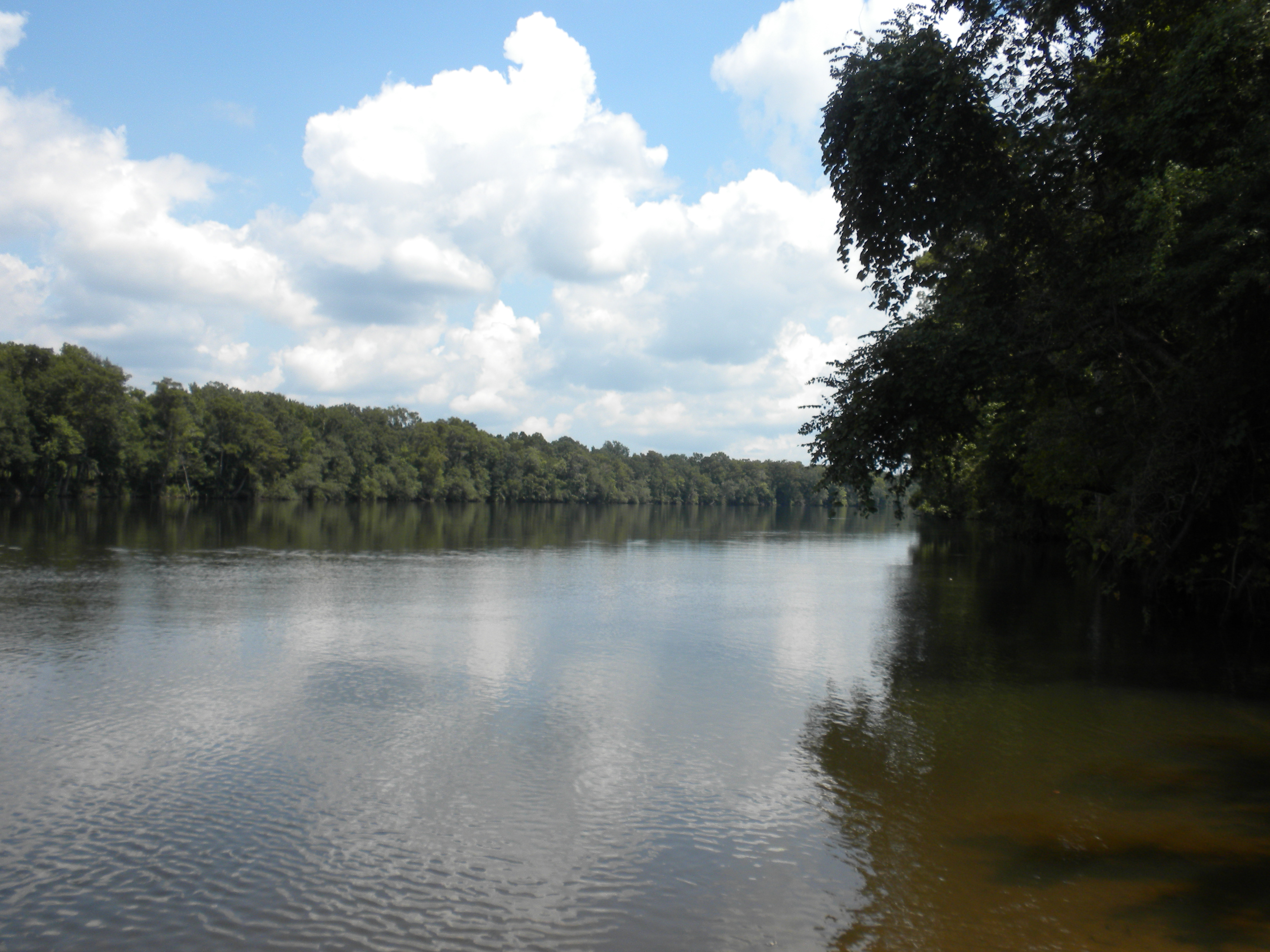
Santee River
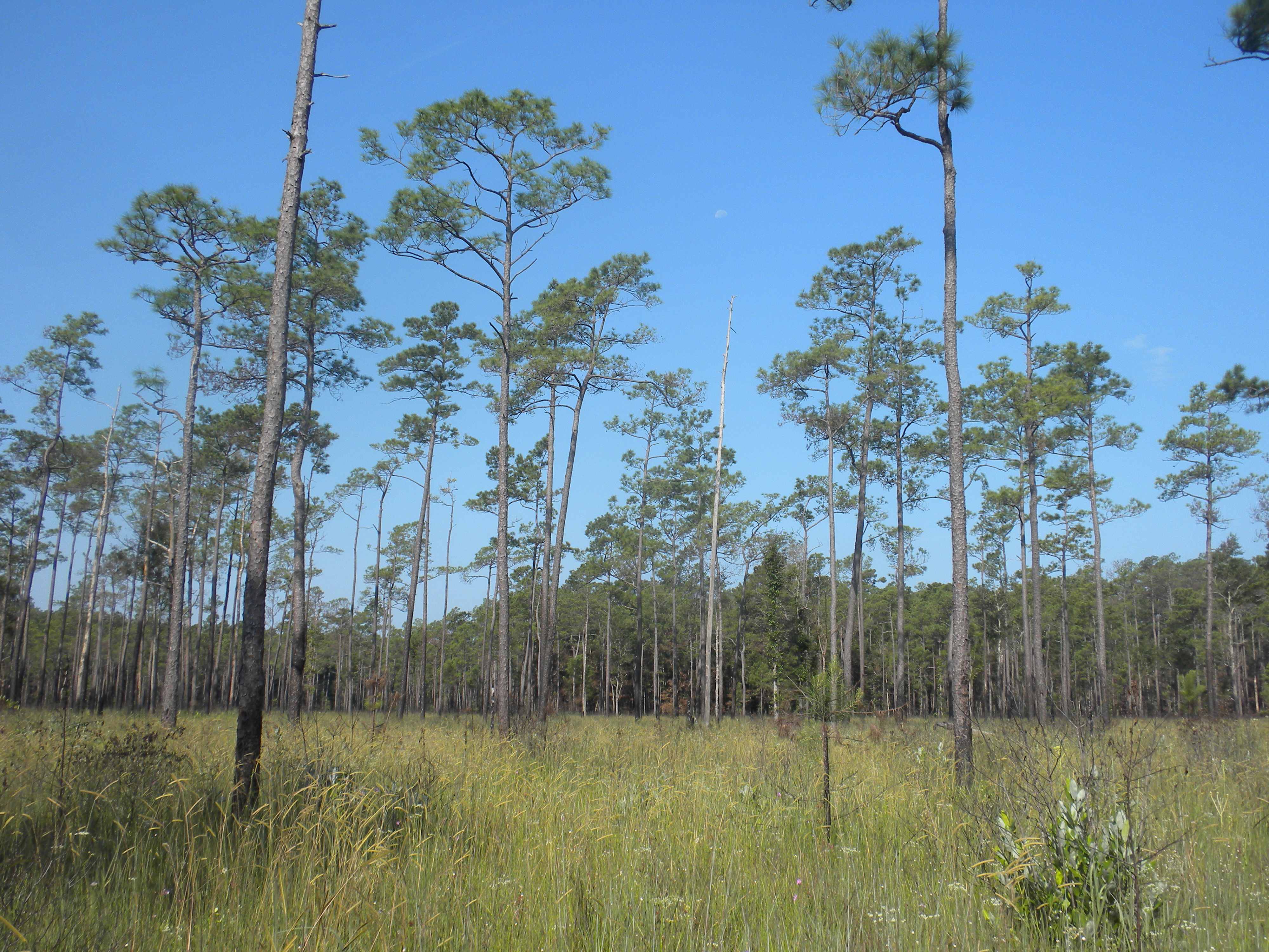
pine savanna
Mapa de U.S. 17, US-17, Estados Unidos
Buscar otro lugar
Lugares cercanos
US-17, Murrells Inlet, SC, EE. UU.
Belladonna Ct, Georgetown, SC, EE. UU.
Germantown Rd, McClellanville, SC, EE. UU.
Deer Run Ave, Georgetown, SC, EE. UU.
Weaver Loop, Georgetown, SC, EE. UU.
Weaver Loop, Georgetown, SC, EE. UU.
Virginia Dr, Georgetown, SC, EE. UU.
County Rd S-22-, Georgetown, SC, EE. UU.
Sandpiper Ln, Georgetown, SC, EE. UU.
Sandpiper Lane, Sandpiper Ln, South Carolina, EE. UU.
Mallard Cir, Georgetown, SC, EE. UU.
Mayrant Bluff Road, Mayrant Bluff Rd, Georgetown, SC, EE. UU.
Mercantile Road, Mercantile Rd, McClellanville, SC, EE. UU.
Lincoln Rd, McClellanville, SC, EE. UU.
Pinckney St, McClellanville, SC, EE. UU.
McClellan Avenue, McClellan Ave, McClellanville, SC, EE. UU.
Pinckney Street, Pinckney St, McClellanville, SC, EE. UU.
South Pinckney Street, S Pinckney St, McClellanville, SC, EE. UU.
McClellanville, Carolina del Sur, EE. UU.
Scotia St, McClellanville, SC, EE. UU.
Búsquedas recientes
- Horas de salida y puesta de sol de Red Dog Mine, AK, USA
- Horas de salida y puesta de sol de Am Bahnhof, Am bhf, Borken, Germany
- Horas de salida y puesta de sol de 4th St E, Sonoma, CA, EE. UU.
- Horas de salida y puesta de sol de Oakland Ave, Williamsport, PA, EE. UU.
- Horas de salida y puesta de sol de Via Roma, Pieranica CR, Italia
- Horas de salida y puesta de sol de Torre del reloj, Grad, Dubrovnik (Ragusa), Croacia
- Horas de salida y puesta de sol de Trelew, Chubut, Argentina
- Horas de salida y puesta de sol de Hartfords Bluff Cir, Mt Pleasant, SC, EE. UU.
- Horas de salida y puesta de sol de Kita Ward, Kumamoto, Japón
- Horas de salida y puesta de sol de Pingtan Island, Pingtan County, Fuzhou, China