Horas de salida y puesta de sol de Condado de Tuolumne, California, EE. UU.
Location: Estados Unidos > California >
Zona horaria:
America/Los_Angeles
Hora local:
2025-06-23 18:05:16
Longitud:
-119.9740534
Latitud:
38.029655
Salida de sol de hoy:
05:38:28 AM
Puesta de sol de hoy:
08:26:35 PM
La duración del día hoy:
14h 48m 7s
Salida de sol de mañana:
05:38:48 AM
Puesta de sol de mañana:
08:26:40 PM
La duración del día mañana:
14h 47m 52s
Mostrar todas las fechas
| Fecha | Salida de sol | Puesta de sol | Duración del día |
|---|---|---|---|
| 01/01/2025 | 07:16:07 AM | 04:52:08 PM | 9h 36m 1s |
| 02/01/2025 | 07:16:11 AM | 04:52:58 PM | 9h 36m 47s |
| 03/01/2025 | 07:16:14 AM | 04:53:50 PM | 9h 37m 36s |
| 04/01/2025 | 07:16:14 AM | 04:54:42 PM | 9h 38m 28s |
| 05/01/2025 | 07:16:13 AM | 04:55:36 PM | 9h 39m 23s |
| 06/01/2025 | 07:16:09 AM | 04:56:32 PM | 9h 40m 23s |
| 07/01/2025 | 07:16:04 AM | 04:57:28 PM | 9h 41m 24s |
| 08/01/2025 | 07:15:56 AM | 04:58:25 PM | 9h 42m 29s |
| 09/01/2025 | 07:15:46 AM | 04:59:23 PM | 9h 43m 37s |
| 10/01/2025 | 07:15:34 AM | 05:00:22 PM | 9h 44m 48s |
| 11/01/2025 | 07:15:20 AM | 05:01:22 PM | 9h 46m 2s |
| 12/01/2025 | 07:15:04 AM | 05:02:23 PM | 9h 47m 19s |
| 13/01/2025 | 07:14:46 AM | 05:03:25 PM | 9h 48m 39s |
| 14/01/2025 | 07:14:26 AM | 05:04:27 PM | 9h 50m 1s |
| 15/01/2025 | 07:14:03 AM | 05:05:30 PM | 9h 51m 27s |
| 16/01/2025 | 07:13:39 AM | 05:06:34 PM | 9h 52m 55s |
| 17/01/2025 | 07:13:13 AM | 05:07:38 PM | 9h 54m 25s |
| 18/01/2025 | 07:12:45 AM | 05:08:43 PM | 9h 55m 58s |
| 19/01/2025 | 07:12:15 AM | 05:09:48 PM | 9h 57m 33s |
| 20/01/2025 | 07:11:42 AM | 05:10:53 PM | 9h 59m 11s |
| 21/01/2025 | 07:11:08 AM | 05:11:59 PM | 10h 0m 51s |
| 22/01/2025 | 07:10:33 AM | 05:13:06 PM | 10h 2m 33s |
| 23/01/2025 | 07:09:55 AM | 05:14:12 PM | 10h 4m 17s |
| 24/01/2025 | 07:09:15 AM | 05:15:19 PM | 10h 6m 4s |
| 25/01/2025 | 07:08:34 AM | 05:16:26 PM | 10h 7m 52s |
| 26/01/2025 | 07:07:51 AM | 05:17:33 PM | 10h 9m 42s |
| 27/01/2025 | 07:07:06 AM | 05:18:41 PM | 10h 11m 35s |
| 28/01/2025 | 07:06:19 AM | 05:19:48 PM | 10h 13m 29s |
| 29/01/2025 | 07:05:30 AM | 05:20:56 PM | 10h 15m 26s |
| 30/01/2025 | 07:04:40 AM | 05:22:03 PM | 10h 17m 23s |
| 31/01/2025 | 07:03:49 AM | 05:23:11 PM | 10h 19m 22s |
| 01/02/2025 | 07:02:55 AM | 05:24:18 PM | 10h 21m 23s |
| 02/02/2025 | 07:02:00 AM | 05:25:26 PM | 10h 23m 26s |
| 03/02/2025 | 07:01:04 AM | 05:26:33 PM | 10h 25m 29s |
| 04/02/2025 | 07:00:06 AM | 05:27:41 PM | 10h 27m 35s |
| 05/02/2025 | 06:59:07 AM | 05:28:48 PM | 10h 29m 41s |
| 06/02/2025 | 06:58:06 AM | 05:29:55 PM | 10h 31m 49s |
| 07/02/2025 | 06:57:03 AM | 05:31:02 PM | 10h 33m 59s |
| 08/02/2025 | 06:56:00 AM | 05:32:09 PM | 10h 36m 9s |
| 09/02/2025 | 06:54:55 AM | 05:33:15 PM | 10h 38m 20s |
| 10/02/2025 | 06:53:48 AM | 05:34:22 PM | 10h 40m 34s |
| 11/02/2025 | 06:52:41 AM | 05:35:28 PM | 10h 42m 47s |
| 12/02/2025 | 06:51:32 AM | 05:36:34 PM | 10h 45m 2s |
| 13/02/2025 | 06:50:22 AM | 05:37:39 PM | 10h 47m 17s |
| 14/02/2025 | 06:49:10 AM | 05:38:44 PM | 10h 49m 34s |
| 15/02/2025 | 06:47:58 AM | 05:39:49 PM | 10h 51m 51s |
| 16/02/2025 | 06:46:44 AM | 05:40:54 PM | 10h 54m 10s |
| 17/02/2025 | 06:45:30 AM | 05:41:59 PM | 10h 56m 29s |
| 18/02/2025 | 06:44:14 AM | 05:43:03 PM | 10h 58m 49s |
| 19/02/2025 | 06:42:57 AM | 05:44:07 PM | 11h 1m 10s |
| 20/02/2025 | 06:41:40 AM | 05:45:10 PM | 11h 3m 30s |
| 21/02/2025 | 06:40:21 AM | 05:46:13 PM | 11h 5m 52s |
| 22/02/2025 | 06:39:02 AM | 05:47:16 PM | 11h 8m 14s |
| 23/02/2025 | 06:37:41 AM | 05:48:19 PM | 11h 10m 38s |
| 24/02/2025 | 06:36:20 AM | 05:49:21 PM | 11h 13m 1s |
| 25/02/2025 | 06:34:58 AM | 05:50:23 PM | 11h 15m 25s |
| 26/02/2025 | 06:33:35 AM | 05:51:24 PM | 11h 17m 49s |
| 27/02/2025 | 06:32:11 AM | 05:52:26 PM | 11h 20m 15s |
| 28/02/2025 | 06:30:47 AM | 05:53:27 PM | 11h 22m 40s |
| 01/03/2025 | 06:29:22 AM | 05:54:27 PM | 11h 25m 5s |
| 02/03/2025 | 06:27:56 AM | 05:55:28 PM | 11h 27m 32s |
| 03/03/2025 | 06:26:30 AM | 05:56:28 PM | 11h 29m 58s |
| 04/03/2025 | 06:25:03 AM | 05:57:28 PM | 11h 32m 25s |
| 05/03/2025 | 06:23:36 AM | 05:58:27 PM | 11h 34m 51s |
| 06/03/2025 | 06:22:08 AM | 05:59:26 PM | 11h 37m 18s |
| 07/03/2025 | 06:20:40 AM | 06:00:25 PM | 11h 39m 45s |
| 08/03/2025 | 06:19:11 AM | 06:01:24 PM | 11h 42m 13s |
| 09/03/2025 | 07:17:45 AM | 07:02:20 PM | 11h 44m 35s |
| 10/03/2025 | 07:16:16 AM | 07:03:18 PM | 11h 47m 2s |
| 11/03/2025 | 07:14:45 AM | 07:04:16 PM | 11h 49m 31s |
| 12/03/2025 | 07:13:15 AM | 07:05:14 PM | 11h 51m 59s |
| 13/03/2025 | 07:11:44 AM | 07:06:11 PM | 11h 54m 27s |
| 14/03/2025 | 07:10:13 AM | 07:07:09 PM | 11h 56m 56s |
| 15/03/2025 | 07:08:42 AM | 07:08:06 PM | 11h 59m 24s |
| 16/03/2025 | 07:07:11 AM | 07:09:03 PM | 12h 1m 52s |
| 17/03/2025 | 07:05:39 AM | 07:10:00 PM | 12h 4m 21s |
| 18/03/2025 | 07:04:07 AM | 07:10:56 PM | 12h 6m 49s |
| 19/03/2025 | 07:02:35 AM | 07:11:53 PM | 12h 9m 18s |
| 20/03/2025 | 07:01:03 AM | 07:12:49 PM | 12h 11m 46s |
| 21/03/2025 | 06:59:31 AM | 07:13:45 PM | 12h 14m 14s |
| 22/03/2025 | 06:57:59 AM | 07:14:41 PM | 12h 16m 42s |
| 23/03/2025 | 06:56:27 AM | 07:15:37 PM | 12h 19m 10s |
| 24/03/2025 | 06:54:55 AM | 07:16:33 PM | 12h 21m 38s |
| 25/03/2025 | 06:53:23 AM | 07:17:29 PM | 12h 24m 6s |
| 26/03/2025 | 06:51:51 AM | 07:18:25 PM | 12h 26m 34s |
| 27/03/2025 | 06:50:19 AM | 07:19:20 PM | 12h 29m 1s |
| 28/03/2025 | 06:48:48 AM | 07:20:16 PM | 12h 31m 28s |
| 29/03/2025 | 06:47:16 AM | 07:21:11 PM | 12h 33m 55s |
| 30/03/2025 | 06:45:45 AM | 07:22:07 PM | 12h 36m 22s |
| 31/03/2025 | 06:44:14 AM | 07:23:02 PM | 12h 38m 48s |
| 01/04/2025 | 06:42:43 AM | 07:23:58 PM | 12h 41m 15s |
| 02/04/2025 | 06:41:13 AM | 07:24:53 PM | 12h 43m 40s |
| 03/04/2025 | 06:39:43 AM | 07:25:49 PM | 12h 46m 6s |
| 04/04/2025 | 06:38:13 AM | 07:26:44 PM | 12h 48m 31s |
| 05/04/2025 | 06:36:43 AM | 07:27:39 PM | 12h 50m 56s |
| 06/04/2025 | 06:35:14 AM | 07:28:35 PM | 12h 53m 21s |
| 07/04/2025 | 06:33:46 AM | 07:29:30 PM | 12h 55m 44s |
| 08/04/2025 | 06:32:18 AM | 07:30:26 PM | 12h 58m 8s |
| 09/04/2025 | 06:30:50 AM | 07:31:21 PM | 13h 0m 31s |
| 10/04/2025 | 06:29:23 AM | 07:32:17 PM | 13h 2m 54s |
| 11/04/2025 | 06:27:57 AM | 07:33:12 PM | 13h 5m 15s |
| 12/04/2025 | 06:26:31 AM | 07:34:08 PM | 13h 7m 37s |
| 13/04/2025 | 06:25:06 AM | 07:35:03 PM | 13h 9m 57s |
| 14/04/2025 | 06:23:41 AM | 07:35:59 PM | 13h 12m 18s |
| 15/04/2025 | 06:22:17 AM | 07:36:55 PM | 13h 14m 38s |
| 16/04/2025 | 06:20:54 AM | 07:37:51 PM | 13h 16m 57s |
| 17/04/2025 | 06:19:32 AM | 07:38:46 PM | 13h 19m 14s |
| 18/04/2025 | 06:18:10 AM | 07:39:42 PM | 13h 21m 32s |
| 19/04/2025 | 06:16:49 AM | 07:40:38 PM | 13h 23m 49s |
| 20/04/2025 | 06:15:29 AM | 07:41:34 PM | 13h 26m 5s |
| 21/04/2025 | 06:14:10 AM | 07:42:30 PM | 13h 28m 20s |
| 22/04/2025 | 06:12:52 AM | 07:43:26 PM | 13h 30m 34s |
| 23/04/2025 | 06:11:34 AM | 07:44:22 PM | 13h 32m 48s |
| 24/04/2025 | 06:10:18 AM | 07:45:18 PM | 13h 35m 0s |
| 25/04/2025 | 06:09:02 AM | 07:46:13 PM | 13h 37m 11s |
| 26/04/2025 | 06:07:48 AM | 07:47:09 PM | 13h 39m 21s |
| 27/04/2025 | 06:06:35 AM | 07:48:05 PM | 13h 41m 30s |
| 28/04/2025 | 06:05:23 AM | 07:49:01 PM | 13h 43m 38s |
| 29/04/2025 | 06:04:11 AM | 07:49:57 PM | 13h 45m 46s |
| 30/04/2025 | 06:03:01 AM | 07:50:52 PM | 13h 47m 51s |
| 01/05/2025 | 06:01:53 AM | 07:51:48 PM | 13h 49m 55s |
| 02/05/2025 | 06:00:45 AM | 07:52:44 PM | 13h 51m 59s |
| 03/05/2025 | 05:59:38 AM | 07:53:39 PM | 13h 54m 1s |
| 04/05/2025 | 05:58:33 AM | 07:54:34 PM | 13h 56m 1s |
| 05/05/2025 | 05:57:29 AM | 07:55:29 PM | 13h 58m 0s |
| 06/05/2025 | 05:56:27 AM | 07:56:24 PM | 13h 59m 57s |
| 07/05/2025 | 05:55:26 AM | 07:57:19 PM | 14h 1m 53s |
| 08/05/2025 | 05:54:26 AM | 07:58:14 PM | 14h 3m 48s |
| 09/05/2025 | 05:53:27 AM | 07:59:08 PM | 14h 5m 41s |
| 10/05/2025 | 05:52:30 AM | 08:00:02 PM | 14h 7m 32s |
| 11/05/2025 | 05:51:35 AM | 08:00:55 PM | 14h 9m 20s |
| 12/05/2025 | 05:50:40 AM | 08:01:49 PM | 14h 11m 9s |
| 13/05/2025 | 05:49:48 AM | 08:02:42 PM | 14h 12m 54s |
| 14/05/2025 | 05:48:57 AM | 08:03:34 PM | 14h 14m 37s |
| 15/05/2025 | 05:48:07 AM | 08:04:27 PM | 14h 16m 20s |
| 16/05/2025 | 05:47:19 AM | 08:05:18 PM | 14h 17m 59s |
| 17/05/2025 | 05:46:33 AM | 08:06:10 PM | 14h 19m 37s |
| 18/05/2025 | 05:45:48 AM | 08:07:00 PM | 14h 21m 12s |
| 19/05/2025 | 05:45:05 AM | 08:07:51 PM | 14h 22m 46s |
| 20/05/2025 | 05:44:23 AM | 08:08:40 PM | 14h 24m 17s |
| 21/05/2025 | 05:43:43 AM | 08:09:29 PM | 14h 25m 46s |
| 22/05/2025 | 05:43:05 AM | 08:10:18 PM | 14h 27m 13s |
| 23/05/2025 | 05:42:29 AM | 08:11:05 PM | 14h 28m 36s |
| 24/05/2025 | 05:41:54 AM | 08:11:52 PM | 14h 29m 58s |
| 25/05/2025 | 05:41:21 AM | 08:12:38 PM | 14h 31m 17s |
| 26/05/2025 | 05:40:50 AM | 08:13:24 PM | 14h 32m 34s |
| 27/05/2025 | 05:40:20 AM | 08:14:08 PM | 14h 33m 48s |
| 28/05/2025 | 05:39:52 AM | 08:14:52 PM | 14h 35m 0s |
| 29/05/2025 | 05:39:27 AM | 08:15:35 PM | 14h 36m 8s |
| 30/05/2025 | 05:39:02 AM | 08:16:16 PM | 14h 37m 14s |
| 31/05/2025 | 05:38:40 AM | 08:16:57 PM | 14h 38m 17s |
| 01/06/2025 | 05:38:20 AM | 08:17:37 PM | 14h 39m 17s |
| 02/06/2025 | 05:38:01 AM | 08:18:15 PM | 14h 40m 14s |
| 03/06/2025 | 05:37:44 AM | 08:18:53 PM | 14h 41m 9s |
| 04/06/2025 | 05:37:29 AM | 08:19:29 PM | 14h 42m 0s |
| 05/06/2025 | 05:37:16 AM | 08:20:04 PM | 14h 42m 48s |
| 06/06/2025 | 05:37:04 AM | 08:20:38 PM | 14h 43m 34s |
| 07/06/2025 | 05:36:55 AM | 08:21:11 PM | 14h 44m 16s |
| 08/06/2025 | 05:36:47 AM | 08:21:42 PM | 14h 44m 55s |
| 09/06/2025 | 05:36:41 AM | 08:22:12 PM | 14h 45m 31s |
| 10/06/2025 | 05:36:37 AM | 08:22:41 PM | 14h 46m 4s |
| 11/06/2025 | 05:36:35 AM | 08:23:08 PM | 14h 46m 33s |
| 12/06/2025 | 05:36:34 AM | 08:23:34 PM | 14h 47m 0s |
| 13/06/2025 | 05:36:35 AM | 08:23:58 PM | 14h 47m 23s |
| 14/06/2025 | 05:36:38 AM | 08:24:21 PM | 14h 47m 43s |
| 15/06/2025 | 05:36:43 AM | 08:24:42 PM | 14h 47m 59s |
| 16/06/2025 | 05:36:49 AM | 08:25:01 PM | 14h 48m 12s |
| 17/06/2025 | 05:36:57 AM | 08:25:19 PM | 14h 48m 22s |
| 18/06/2025 | 05:37:07 AM | 08:25:36 PM | 14h 48m 29s |
| 19/06/2025 | 05:37:19 AM | 08:25:50 PM | 14h 48m 31s |
| 20/06/2025 | 05:37:32 AM | 08:26:03 PM | 14h 48m 31s |
| 21/06/2025 | 05:37:47 AM | 08:26:15 PM | 14h 48m 28s |
| 22/06/2025 | 05:38:03 AM | 08:26:24 PM | 14h 48m 21s |
| 23/06/2025 | 05:38:21 AM | 08:26:32 PM | 14h 48m 11s |
| 24/06/2025 | 05:38:40 AM | 08:26:38 PM | 14h 47m 58s |
| 25/06/2025 | 05:39:01 AM | 08:26:43 PM | 14h 47m 42s |
| 26/06/2025 | 05:39:23 AM | 08:26:45 PM | 14h 47m 22s |
| 27/06/2025 | 05:39:47 AM | 08:26:46 PM | 14h 46m 59s |
| 28/06/2025 | 05:40:13 AM | 08:26:45 PM | 14h 46m 32s |
| 29/06/2025 | 05:40:39 AM | 08:26:42 PM | 14h 46m 3s |
| 30/06/2025 | 05:41:07 AM | 08:26:37 PM | 14h 45m 30s |
| 01/07/2025 | 05:41:36 AM | 08:26:30 PM | 14h 44m 54s |
| 02/07/2025 | 05:42:07 AM | 08:26:22 PM | 14h 44m 15s |
| 03/07/2025 | 05:42:39 AM | 08:26:11 PM | 14h 43m 32s |
| 04/07/2025 | 05:43:12 AM | 08:25:59 PM | 14h 42m 47s |
| 05/07/2025 | 05:43:46 AM | 08:25:45 PM | 14h 41m 59s |
| 06/07/2025 | 05:44:21 AM | 08:25:29 PM | 14h 41m 8s |
| 07/07/2025 | 05:44:57 AM | 08:25:11 PM | 14h 40m 14s |
| 08/07/2025 | 05:45:35 AM | 08:24:51 PM | 14h 39m 16s |
| 09/07/2025 | 05:46:13 AM | 08:24:30 PM | 14h 38m 17s |
| 10/07/2025 | 05:46:52 AM | 08:24:06 PM | 14h 37m 14s |
| 11/07/2025 | 05:47:33 AM | 08:23:41 PM | 14h 36m 8s |
| 12/07/2025 | 05:48:14 AM | 08:23:14 PM | 14h 35m 0s |
| 13/07/2025 | 05:48:56 AM | 08:22:45 PM | 14h 33m 49s |
| 14/07/2025 | 05:49:38 AM | 08:22:14 PM | 14h 32m 36s |
| 15/07/2025 | 05:50:22 AM | 08:21:42 PM | 14h 31m 20s |
| 16/07/2025 | 05:51:06 AM | 08:21:08 PM | 14h 30m 2s |
| 17/07/2025 | 05:51:51 AM | 08:20:32 PM | 14h 28m 41s |
| 18/07/2025 | 05:52:37 AM | 08:19:54 PM | 14h 27m 17s |
| 19/07/2025 | 05:53:23 AM | 08:19:14 PM | 14h 25m 51s |
| 20/07/2025 | 05:54:10 AM | 08:18:33 PM | 14h 24m 23s |
| 21/07/2025 | 05:54:57 AM | 08:17:50 PM | 14h 22m 53s |
| 22/07/2025 | 05:55:45 AM | 08:17:06 PM | 14h 21m 21s |
| 23/07/2025 | 05:56:34 AM | 08:16:19 PM | 14h 19m 45s |
| 24/07/2025 | 05:57:22 AM | 08:15:32 PM | 14h 18m 10s |
| 25/07/2025 | 05:58:12 AM | 08:14:42 PM | 14h 16m 30s |
| 26/07/2025 | 05:59:01 AM | 08:13:51 PM | 14h 14m 50s |
| 27/07/2025 | 05:59:51 AM | 08:12:58 PM | 14h 13m 7s |
| 28/07/2025 | 06:00:42 AM | 08:12:04 PM | 14h 11m 22s |
| 29/07/2025 | 06:01:32 AM | 08:11:09 PM | 14h 9m 37s |
| 30/07/2025 | 06:02:23 AM | 08:10:11 PM | 14h 7m 48s |
| 31/07/2025 | 06:03:14 AM | 08:09:13 PM | 14h 5m 59s |
| 01/08/2025 | 06:04:05 AM | 08:08:13 PM | 14h 4m 8s |
| 02/08/2025 | 06:04:57 AM | 08:07:11 PM | 14h 2m 14s |
| 03/08/2025 | 06:05:49 AM | 08:06:09 PM | 14h 0m 20s |
| 04/08/2025 | 06:06:40 AM | 08:05:04 PM | 13h 58m 24s |
| 05/08/2025 | 06:07:32 AM | 08:03:59 PM | 13h 56m 27s |
| 06/08/2025 | 06:08:24 AM | 08:02:52 PM | 13h 54m 28s |
| 07/08/2025 | 06:09:16 AM | 08:01:44 PM | 13h 52m 28s |
| 08/08/2025 | 06:10:09 AM | 08:00:35 PM | 13h 50m 26s |
| 09/08/2025 | 06:11:01 AM | 07:59:24 PM | 13h 48m 23s |
| 10/08/2025 | 06:11:53 AM | 07:58:13 PM | 13h 46m 20s |
| 11/08/2025 | 06:12:45 AM | 07:57:00 PM | 13h 44m 15s |
| 12/08/2025 | 06:13:38 AM | 07:55:46 PM | 13h 42m 8s |
| 13/08/2025 | 06:14:30 AM | 07:54:31 PM | 13h 40m 1s |
| 14/08/2025 | 06:15:22 AM | 07:53:15 PM | 13h 37m 53s |
| 15/08/2025 | 06:16:15 AM | 07:51:58 PM | 13h 35m 43s |
| 16/08/2025 | 06:17:07 AM | 07:50:40 PM | 13h 33m 33s |
| 17/08/2025 | 06:17:59 AM | 07:49:21 PM | 13h 31m 22s |
| 18/08/2025 | 06:18:51 AM | 07:48:01 PM | 13h 29m 10s |
| 19/08/2025 | 06:19:43 AM | 07:46:40 PM | 13h 26m 57s |
| 20/08/2025 | 06:20:35 AM | 07:45:18 PM | 13h 24m 43s |
| 21/08/2025 | 06:21:27 AM | 07:43:56 PM | 13h 22m 29s |
| 22/08/2025 | 06:22:19 AM | 07:42:32 PM | 13h 20m 13s |
| 23/08/2025 | 06:23:11 AM | 07:41:08 PM | 13h 17m 57s |
| 24/08/2025 | 06:24:03 AM | 07:39:43 PM | 13h 15m 40s |
| 25/08/2025 | 06:24:55 AM | 07:38:17 PM | 13h 13m 22s |
| 26/08/2025 | 06:25:46 AM | 07:36:51 PM | 13h 11m 5s |
| 27/08/2025 | 06:26:38 AM | 07:35:24 PM | 13h 8m 46s |
| 28/08/2025 | 06:27:29 AM | 07:33:56 PM | 13h 6m 27s |
| 29/08/2025 | 06:28:21 AM | 07:32:28 PM | 13h 4m 7s |
| 30/08/2025 | 06:29:12 AM | 07:30:59 PM | 13h 1m 47s |
| 31/08/2025 | 06:30:03 AM | 07:29:30 PM | 12h 59m 27s |
| 01/09/2025 | 06:30:54 AM | 07:28:00 PM | 12h 57m 6s |
| 02/09/2025 | 06:31:46 AM | 07:26:29 PM | 12h 54m 43s |
| 03/09/2025 | 06:32:37 AM | 07:24:58 PM | 12h 52m 21s |
| 04/09/2025 | 06:33:28 AM | 07:23:27 PM | 12h 49m 59s |
| 05/09/2025 | 06:34:19 AM | 07:21:55 PM | 12h 47m 36s |
| 06/09/2025 | 06:35:10 AM | 07:20:23 PM | 12h 45m 13s |
| 07/09/2025 | 06:36:01 AM | 07:18:51 PM | 12h 42m 50s |
| 08/09/2025 | 06:36:52 AM | 07:17:18 PM | 12h 40m 26s |
| 09/09/2025 | 06:37:43 AM | 07:15:45 PM | 12h 38m 2s |
| 10/09/2025 | 06:38:34 AM | 07:14:12 PM | 12h 35m 38s |
| 11/09/2025 | 06:39:25 AM | 07:12:38 PM | 12h 33m 13s |
| 12/09/2025 | 06:40:16 AM | 07:11:04 PM | 12h 30m 48s |
| 13/09/2025 | 06:41:08 AM | 07:09:31 PM | 12h 28m 23s |
| 14/09/2025 | 06:41:59 AM | 07:07:57 PM | 12h 25m 58s |
| 15/09/2025 | 06:42:50 AM | 07:06:22 PM | 12h 23m 32s |
| 16/09/2025 | 06:43:41 AM | 07:04:48 PM | 12h 21m 7s |
| 17/09/2025 | 06:44:33 AM | 07:03:14 PM | 12h 18m 41s |
| 18/09/2025 | 06:45:24 AM | 07:01:40 PM | 12h 16m 16s |
| 19/09/2025 | 06:46:16 AM | 07:00:05 PM | 12h 13m 49s |
| 20/09/2025 | 06:47:08 AM | 06:58:31 PM | 12h 11m 23s |
| 21/09/2025 | 06:47:59 AM | 06:56:57 PM | 12h 8m 58s |
| 22/09/2025 | 06:48:51 AM | 06:55:23 PM | 12h 6m 32s |
| 23/09/2025 | 06:49:44 AM | 06:53:49 PM | 12h 4m 5s |
| 24/09/2025 | 06:50:36 AM | 06:52:15 PM | 12h 1m 39s |
| 25/09/2025 | 06:51:28 AM | 06:50:41 PM | 11h 59m 13s |
| 26/09/2025 | 06:52:21 AM | 06:49:08 PM | 11h 56m 47s |
| 27/09/2025 | 06:53:14 AM | 06:47:35 PM | 11h 54m 21s |
| 28/09/2025 | 06:54:07 AM | 06:46:02 PM | 11h 51m 55s |
| 29/09/2025 | 06:55:00 AM | 06:44:29 PM | 11h 49m 29s |
| 30/09/2025 | 06:55:54 AM | 06:42:57 PM | 11h 47m 3s |
| 01/10/2025 | 06:56:47 AM | 06:41:25 PM | 11h 44m 38s |
| 02/10/2025 | 06:57:41 AM | 06:39:53 PM | 11h 42m 12s |
| 03/10/2025 | 06:58:36 AM | 06:38:22 PM | 11h 39m 46s |
| 04/10/2025 | 06:59:30 AM | 06:36:52 PM | 11h 37m 22s |
| 05/10/2025 | 07:00:25 AM | 06:35:22 PM | 11h 34m 57s |
| 06/10/2025 | 07:01:20 AM | 06:33:52 PM | 11h 32m 32s |
| 07/10/2025 | 07:02:16 AM | 06:32:23 PM | 11h 30m 7s |
| 08/10/2025 | 07:03:11 AM | 06:30:54 PM | 11h 27m 43s |
| 09/10/2025 | 07:04:07 AM | 06:29:26 PM | 11h 25m 19s |
| 10/10/2025 | 07:05:04 AM | 06:27:59 PM | 11h 22m 55s |
| 11/10/2025 | 07:06:00 AM | 06:26:33 PM | 11h 20m 33s |
| 12/10/2025 | 07:06:57 AM | 06:25:07 PM | 11h 18m 10s |
| 13/10/2025 | 07:07:55 AM | 06:23:42 PM | 11h 15m 47s |
| 14/10/2025 | 07:08:52 AM | 06:22:17 PM | 11h 13m 25s |
| 15/10/2025 | 07:09:50 AM | 06:20:54 PM | 11h 11m 4s |
| 16/10/2025 | 07:10:48 AM | 06:19:31 PM | 11h 8m 43s |
| 17/10/2025 | 07:11:47 AM | 06:18:09 PM | 11h 6m 22s |
| 18/10/2025 | 07:12:46 AM | 06:16:48 PM | 11h 4m 2s |
| 19/10/2025 | 07:13:46 AM | 06:15:28 PM | 11h 1m 42s |
| 20/10/2025 | 07:14:45 AM | 06:14:09 PM | 10h 59m 24s |
| 21/10/2025 | 07:15:45 AM | 06:12:51 PM | 10h 57m 6s |
| 22/10/2025 | 07:16:46 AM | 06:11:34 PM | 10h 54m 48s |
| 23/10/2025 | 07:17:46 AM | 06:10:18 PM | 10h 52m 32s |
| 24/10/2025 | 07:18:47 AM | 06:09:03 PM | 10h 50m 16s |
| 25/10/2025 | 07:19:49 AM | 06:07:49 PM | 10h 48m 0s |
| 26/10/2025 | 07:20:50 AM | 06:06:36 PM | 10h 45m 46s |
| 27/10/2025 | 07:21:52 AM | 06:05:25 PM | 10h 43m 33s |
| 28/10/2025 | 07:22:55 AM | 06:04:15 PM | 10h 41m 20s |
| 29/10/2025 | 07:23:57 AM | 06:03:06 PM | 10h 39m 9s |
| 30/10/2025 | 07:25:00 AM | 06:01:58 PM | 10h 36m 58s |
| 31/10/2025 | 07:26:03 AM | 06:00:52 PM | 10h 34m 49s |
| 01/11/2025 | 07:27:06 AM | 05:59:47 PM | 10h 32m 41s |
| 02/11/2025 | 06:28:12 AM | 04:58:41 PM | 10h 30m 29s |
| 03/11/2025 | 06:29:16 AM | 04:57:39 PM | 10h 28m 23s |
| 04/11/2025 | 06:30:20 AM | 04:56:39 PM | 10h 26m 19s |
| 05/11/2025 | 06:31:24 AM | 04:55:40 PM | 10h 24m 16s |
| 06/11/2025 | 06:32:28 AM | 04:54:42 PM | 10h 22m 14s |
| 07/11/2025 | 06:33:33 AM | 04:53:46 PM | 10h 20m 13s |
| 08/11/2025 | 06:34:37 AM | 04:52:52 PM | 10h 18m 15s |
| 09/11/2025 | 06:35:42 AM | 04:51:59 PM | 10h 16m 17s |
| 10/11/2025 | 06:36:46 AM | 04:51:08 PM | 10h 14m 22s |
| 11/11/2025 | 06:37:51 AM | 04:50:19 PM | 10h 12m 28s |
| 12/11/2025 | 06:38:55 AM | 04:49:31 PM | 10h 10m 36s |
| 13/11/2025 | 06:40:00 AM | 04:48:45 PM | 10h 8m 45s |
| 14/11/2025 | 06:41:04 AM | 04:48:01 PM | 10h 6m 57s |
| 15/11/2025 | 06:42:08 AM | 04:47:19 PM | 10h 5m 11s |
| 16/11/2025 | 06:43:13 AM | 04:46:39 PM | 10h 3m 26s |
| 17/11/2025 | 06:44:16 AM | 04:46:00 PM | 10h 1m 44s |
| 18/11/2025 | 06:45:20 AM | 04:45:23 PM | 10h 0m 3s |
| 19/11/2025 | 06:46:23 AM | 04:44:49 PM | 9h 58m 26s |
| 20/11/2025 | 06:47:26 AM | 04:44:16 PM | 9h 56m 50s |
| 21/11/2025 | 06:48:29 AM | 04:43:45 PM | 9h 55m 16s |
| 22/11/2025 | 06:49:31 AM | 04:43:16 PM | 9h 53m 45s |
| 23/11/2025 | 06:50:33 AM | 04:42:49 PM | 9h 52m 16s |
| 24/11/2025 | 06:51:34 AM | 04:42:24 PM | 9h 50m 50s |
| 25/11/2025 | 06:52:35 AM | 04:42:02 PM | 9h 49m 27s |
| 26/11/2025 | 06:53:35 AM | 04:41:41 PM | 9h 48m 6s |
| 27/11/2025 | 06:54:35 AM | 04:41:22 PM | 9h 46m 47s |
| 28/11/2025 | 06:55:33 AM | 04:41:06 PM | 9h 45m 33s |
| 29/11/2025 | 06:56:31 AM | 04:40:51 PM | 9h 44m 20s |
| 30/11/2025 | 06:57:29 AM | 04:40:39 PM | 9h 43m 10s |
| 01/12/2025 | 06:58:25 AM | 04:40:29 PM | 9h 42m 4s |
| 02/12/2025 | 06:59:20 AM | 04:40:21 PM | 9h 41m 1s |
| 03/12/2025 | 07:00:15 AM | 04:40:15 PM | 9h 40m 0s |
| 04/12/2025 | 07:01:08 AM | 04:40:11 PM | 9h 39m 3s |
| 05/12/2025 | 07:02:01 AM | 04:40:09 PM | 9h 38m 8s |
| 06/12/2025 | 07:02:52 AM | 04:40:09 PM | 9h 37m 17s |
| 07/12/2025 | 07:03:42 AM | 04:40:12 PM | 9h 36m 30s |
| 08/12/2025 | 07:04:31 AM | 04:40:17 PM | 9h 35m 46s |
| 09/12/2025 | 07:05:19 AM | 04:40:23 PM | 9h 35m 4s |
| 10/12/2025 | 07:06:05 AM | 04:40:32 PM | 9h 34m 27s |
| 11/12/2025 | 07:06:50 AM | 04:40:43 PM | 9h 33m 53s |
| 12/12/2025 | 07:07:33 AM | 04:40:56 PM | 9h 33m 23s |
| 13/12/2025 | 07:08:16 AM | 04:41:12 PM | 9h 32m 56s |
| 14/12/2025 | 07:08:56 AM | 04:41:29 PM | 9h 32m 33s |
| 15/12/2025 | 07:09:35 AM | 04:41:48 PM | 9h 32m 13s |
| 16/12/2025 | 07:10:13 AM | 04:42:09 PM | 9h 31m 56s |
| 17/12/2025 | 07:10:48 AM | 04:42:32 PM | 9h 31m 44s |
| 18/12/2025 | 07:11:22 AM | 04:42:58 PM | 9h 31m 36s |
| 19/12/2025 | 07:11:55 AM | 04:43:25 PM | 9h 31m 30s |
| 20/12/2025 | 07:12:25 AM | 04:43:54 PM | 9h 31m 29s |
| 21/12/2025 | 07:12:54 AM | 04:44:24 PM | 9h 31m 30s |
| 22/12/2025 | 07:13:21 AM | 04:44:57 PM | 9h 31m 36s |
| 23/12/2025 | 07:13:46 AM | 04:45:32 PM | 9h 31m 46s |
| 24/12/2025 | 07:14:10 AM | 04:46:08 PM | 9h 31m 58s |
| 25/12/2025 | 07:14:31 AM | 04:46:46 PM | 9h 32m 15s |
| 26/12/2025 | 07:14:50 AM | 04:47:25 PM | 9h 32m 35s |
| 27/12/2025 | 07:15:08 AM | 04:48:06 PM | 9h 32m 58s |
| 28/12/2025 | 07:15:23 AM | 04:48:49 PM | 9h 33m 26s |
| 29/12/2025 | 07:15:37 AM | 04:49:34 PM | 9h 33m 57s |
| 30/12/2025 | 07:15:48 AM | 04:50:19 PM | 9h 34m 31s |
| 31/12/2025 | 07:15:58 AM | 04:51:07 PM | 9h 35m 9s |
Fotos
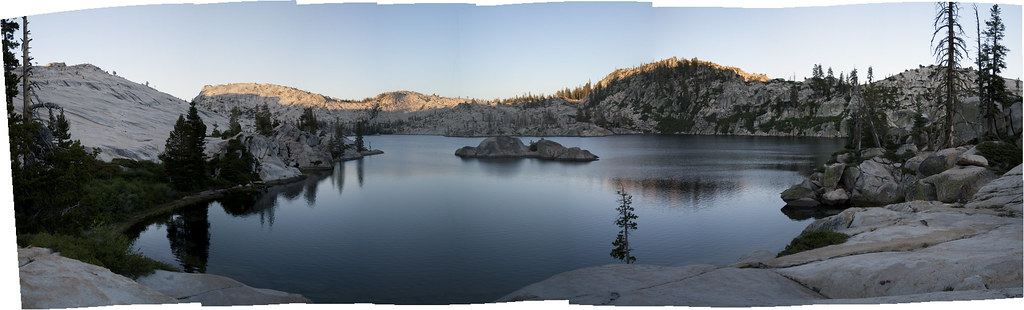
Hyatt Lake Panorama

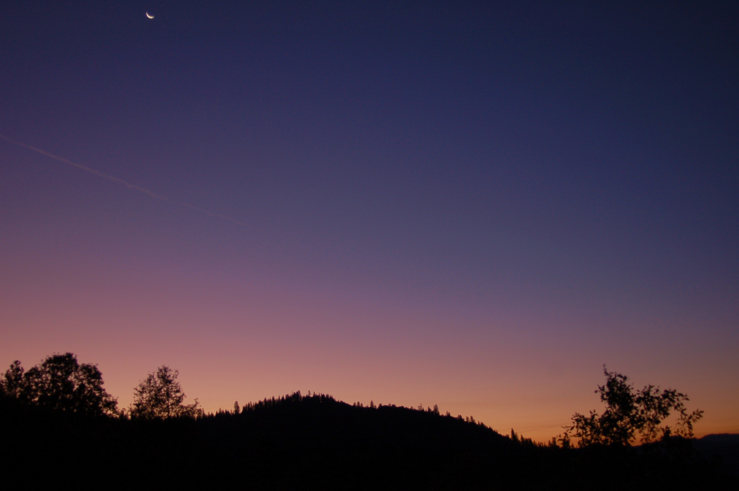
Sunset, Flintstone.

Sunset, Flintstone.

Glowing Ridge Above Hyatt Lake
October 25 2008 bear hunting

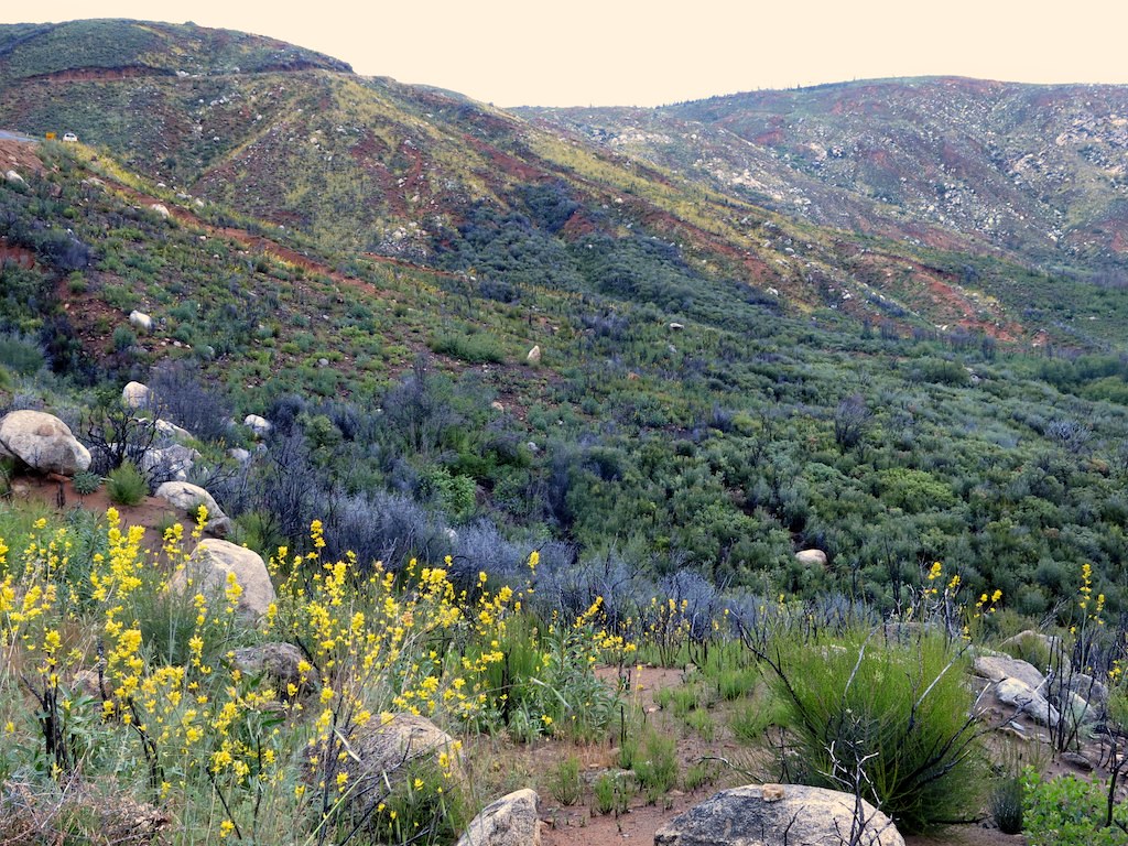
Cherry Creek Canyon Sunrise

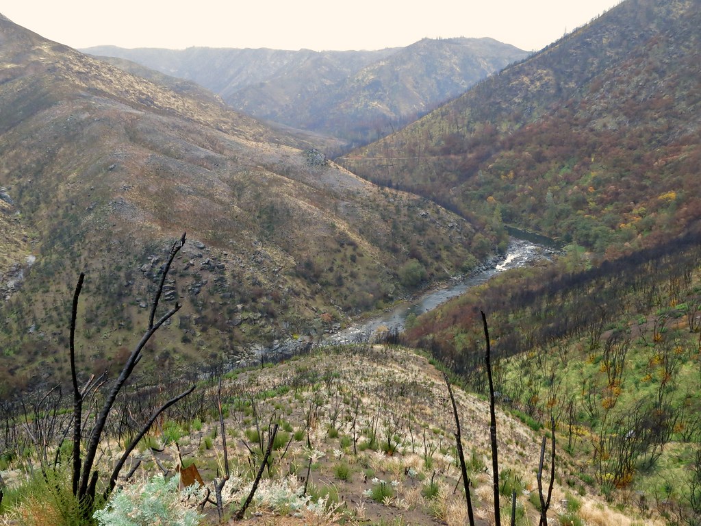
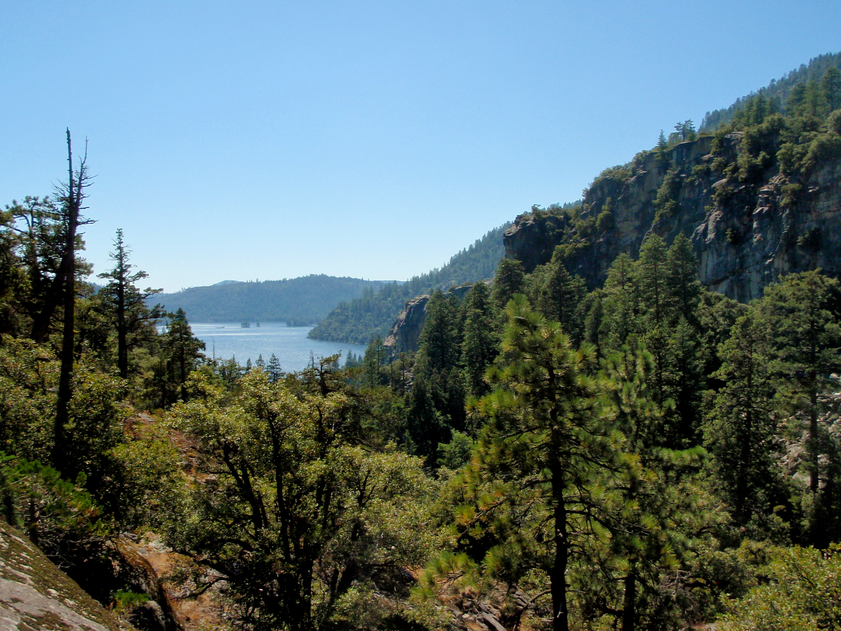
Tuolumne River from overlook on Lumsden Road
Tuolumne River from bracket at overlook on Lumsden Road

View from dome towards Flintstone camp (middle left).
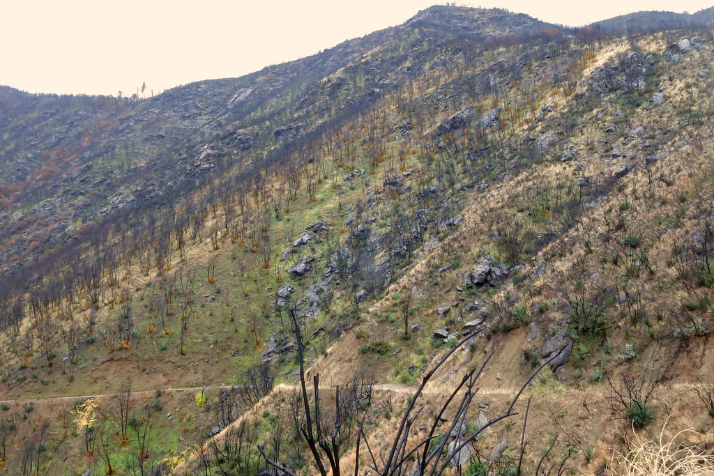
Kibbie Ridge 2014-11-29 at 02-53-53

Cherry Creek 2012-05-31 at 12-25-50
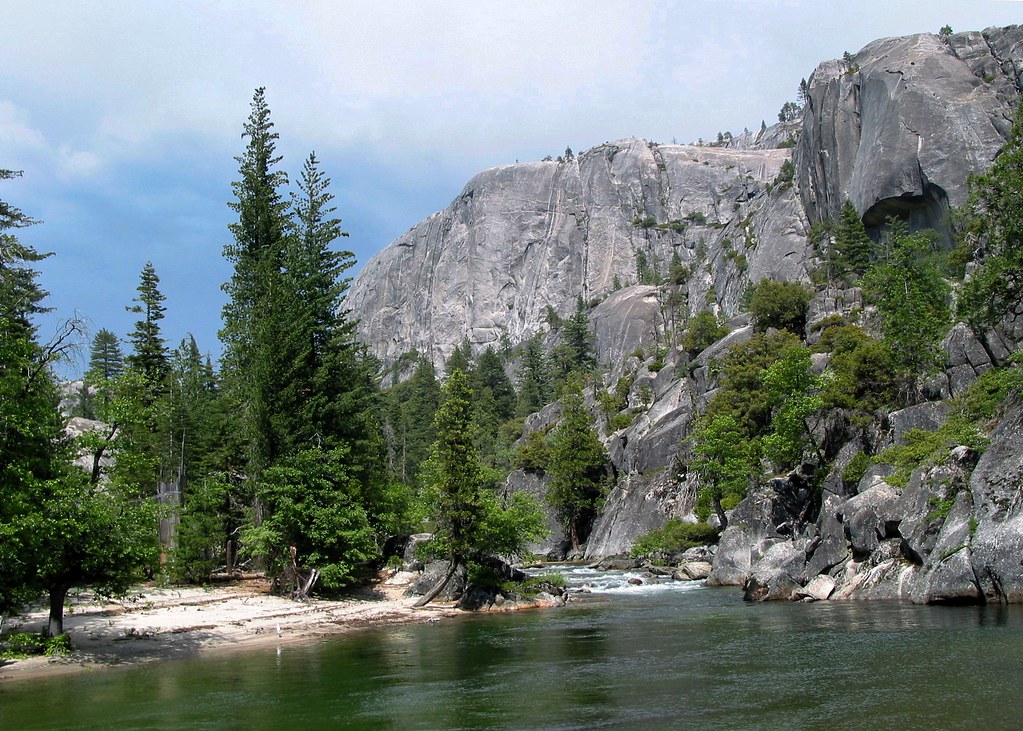
upstream from Flintstone.
View upstream from beach near the crack
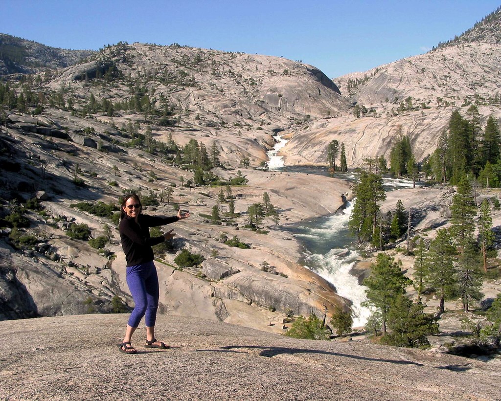
Diane presenting flintstone view
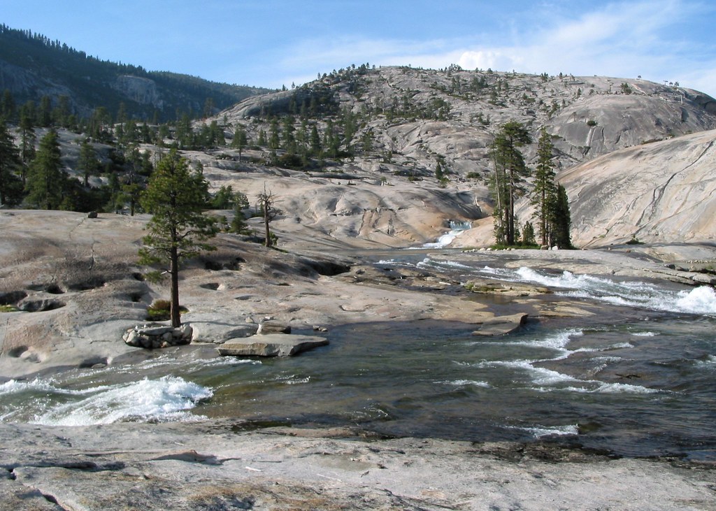
View of the lower gorge

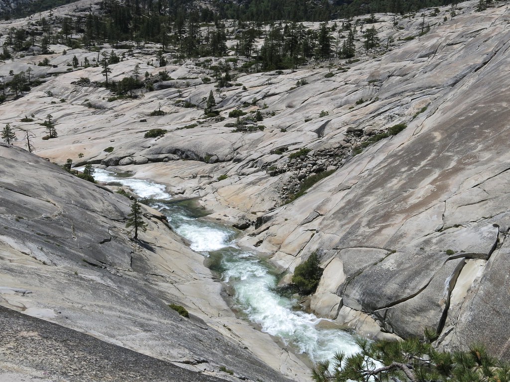
Waterfall Alley seen from base of the wall
View Down the Valley

Cherry Bomb Gorge, closer view

Cherry Creek 2012-06-03 at 11-07-09

View south towards Cherry Lake
View towards the inlet from the shore

Looking upstream

Kayakers beached below Flintstone Falls.
Dicentra chrysantha, GOLDEN EARDROPS

Cherry Creek inlet
Mapa de Condado de Tuolumne, California, EE. UU.
Buscar otro lugar
lugares en Condado de Tuolumne, California, EE. UU.
Sonora, California, EE. UU.
Groveland-Big Oak Flat, California, EE. UU.
Jamestown, California, EE. UU.
Twain Harte, California, EE. UU.
Phoenix Lake-Cedar Ridge, California, EE. UU.
Columbia, California, EE. UU.
Tuolumne City, California, EE. UU.
Mi-Wuk Village, California, EE. UU.
Soulsbyville, California, EE. UU.
Mono Vista, California, EE. UU.
East Sonora, California, EE. UU.
Cold Springs, California, EE. UU.
Chinese Camp, California, EE. UU.
Moccasin, CA, EE. UU.
Strawberry, California, EE. UU.
Whorl Mountain, California, EE. UU.
Cold Mountain, California, EE. UU.
Smith Peak, California, EE. UU.
Bald Peak, California, EE. UU.
Snow Peak, California, EE. UU.
Macomb Ridge, California, EE. UU.
Suicide Ridge, California, EE. UU.
Finger Peaks, California, EE. UU.
Quarry Peak, California, EE. UU.
Tiltill Mountain, California, EE. UU.
Mount Gibson, Mt Gibson, California, EE. UU.
Rancheria Mountain, California, EE. UU.
West Peak, California, EE. UU.
Pettit Peak, California, EE. UU.
Lembert Dome, California, EE. UU.
Tuolumne Peak, California, EE. UU.
Falls Ridge East, California, EE. UU.
Cottonwood Road, Cottonwood Rd, California, EE. UU.
Tuttletown, California, EE. UU.
Long Barn, California, EE. UU.
Dardanelle, CA, EE. UU.
Confidence, CA, EE. UU.
Standard, CA, EE. UU.
Hetch Hetchy Reservoir, California, EE. UU.
Haypress Meadow, California, EE. UU.
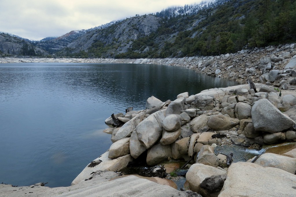
Cherry Lake, California, EE. UU.
Deadwood, CA, EE. UU.
Stanislaus National Forest, California, EE. UU.
Lugares cercanos
Cherry Lake, California, EE. UU.
Gods Bath, Cottonwood Rd, Groveland, CA, EE. UU.
Cottonwood Road, Cottonwood Rd, California, EE. UU.
Deadwood, CA, EE. UU.
Long Barn Rd, Mi-Wuk Village, CA, EE. UU.
Long Barn, California, EE. UU.
David Dr, Mi-Wuk Village, CA, EE. UU.
Wheeler Rd, Mi-Wuk Village, CA, EE. UU.
Deborah Dr, Long Barn, CA, EE. UU.
Deborah Dr, Long Barn, CA, EE. UU.
Sunrise Dr, Mi-Wuk Village, CA, EE. UU.
Quartz Ave, Mi-Wuk Village, CA, EE. UU.
Mi-Wuk Village, California, EE. UU.
Hekeke Ln, Mi-Wuk Village, CA, EE. UU.
CA-, Mi-Wuk Village, CA, EE. UU.
Wuke Lane, Wuke Ln, Mi-Wuk Village, CA, EE. UU.
Manzanita St, Twain Harte, CA, EE. UU.
Kreitzer Way, Twain Harte, CA, EE. UU.
Crossley Way, Twain Harte, CA, EE. UU.
Middle Camp Sugarpine Rd, Twain Harte, CA, EE. UU.
Búsquedas recientes
- Horas de salida y puesta de sol de Red Dog Mine, AK, USA
- Horas de salida y puesta de sol de Am Bahnhof, Am bhf, Borken, Germany
- Horas de salida y puesta de sol de 4th St E, Sonoma, CA, EE. UU.
- Horas de salida y puesta de sol de Oakland Ave, Williamsport, PA, EE. UU.
- Horas de salida y puesta de sol de Via Roma, Pieranica CR, Italia
- Horas de salida y puesta de sol de Torre del reloj, Grad, Dubrovnik (Ragusa), Croacia
- Horas de salida y puesta de sol de Trelew, Chubut, Argentina
- Horas de salida y puesta de sol de Hartfords Bluff Cir, Mt Pleasant, SC, EE. UU.
- Horas de salida y puesta de sol de Kita Ward, Kumamoto, Japón
- Horas de salida y puesta de sol de Pingtan Island, Pingtan County, Fuzhou, China