Horas de salida y puesta de sol de Tillie Hall Peak, New Mexico, EE. UU.
Location: Estados Unidos > Nuevo México > Mule Creek >
Zona horaria:
America/Denver
Hora local:
2025-06-18 17:01:44
Longitud:
-109.0047854
Latitud:
32.9856229
Salida de sol de hoy:
06:07:37 AM
Puesta de sol de hoy:
08:27:30 PM
La duración del día hoy:
14h 19m 53s
Salida de sol de mañana:
06:07:49 AM
Puesta de sol de mañana:
08:27:44 PM
La duración del día mañana:
14h 19m 55s
Mostrar todas las fechas
| Fecha | Salida de sol | Puesta de sol | Duración del día |
|---|---|---|---|
| 01/01/2025 | 07:19:08 AM | 05:21:17 PM | 10h 2m 9s |
| 02/01/2025 | 07:19:17 AM | 05:22:03 PM | 10h 2m 46s |
| 03/01/2025 | 07:19:24 AM | 05:22:50 PM | 10h 3m 26s |
| 04/01/2025 | 07:19:29 AM | 05:23:38 PM | 10h 4m 9s |
| 05/01/2025 | 07:19:33 AM | 05:24:27 PM | 10h 4m 54s |
| 06/01/2025 | 07:19:35 AM | 05:25:17 PM | 10h 5m 42s |
| 07/01/2025 | 07:19:35 AM | 05:26:07 PM | 10h 6m 32s |
| 08/01/2025 | 07:19:34 AM | 05:26:59 PM | 10h 7m 25s |
| 09/01/2025 | 07:19:30 AM | 05:27:51 PM | 10h 8m 21s |
| 10/01/2025 | 07:19:25 AM | 05:28:43 PM | 10h 9m 18s |
| 11/01/2025 | 07:19:18 AM | 05:29:36 PM | 10h 10m 18s |
| 12/01/2025 | 07:19:09 AM | 05:30:30 PM | 10h 11m 21s |
| 13/01/2025 | 07:18:58 AM | 05:31:24 PM | 10h 12m 26s |
| 14/01/2025 | 07:18:45 AM | 05:32:19 PM | 10h 13m 34s |
| 15/01/2025 | 07:18:31 AM | 05:33:14 PM | 10h 14m 43s |
| 16/01/2025 | 07:18:15 AM | 05:34:10 PM | 10h 15m 55s |
| 17/01/2025 | 07:17:57 AM | 05:35:06 PM | 10h 17m 9s |
| 18/01/2025 | 07:17:37 AM | 05:36:02 PM | 10h 18m 25s |
| 19/01/2025 | 07:17:16 AM | 05:36:59 PM | 10h 19m 43s |
| 20/01/2025 | 07:16:53 AM | 05:37:55 PM | 10h 21m 2s |
| 21/01/2025 | 07:16:28 AM | 05:38:52 PM | 10h 22m 24s |
| 22/01/2025 | 07:16:02 AM | 05:39:49 PM | 10h 23m 47s |
| 23/01/2025 | 07:15:33 AM | 05:40:46 PM | 10h 25m 13s |
| 24/01/2025 | 07:15:03 AM | 05:41:44 PM | 10h 26m 41s |
| 25/01/2025 | 07:14:32 AM | 05:42:41 PM | 10h 28m 9s |
| 26/01/2025 | 07:13:59 AM | 05:43:38 PM | 10h 29m 39s |
| 27/01/2025 | 07:13:24 AM | 05:44:36 PM | 10h 31m 12s |
| 28/01/2025 | 07:12:47 AM | 05:45:33 PM | 10h 32m 46s |
| 29/01/2025 | 07:12:09 AM | 05:46:30 PM | 10h 34m 21s |
| 30/01/2025 | 07:11:30 AM | 05:47:27 PM | 10h 35m 57s |
| 31/01/2025 | 07:10:49 AM | 05:48:24 PM | 10h 37m 35s |
| 01/02/2025 | 07:10:06 AM | 05:49:21 PM | 10h 39m 15s |
| 02/02/2025 | 07:09:23 AM | 05:50:18 PM | 10h 40m 55s |
| 03/02/2025 | 07:08:37 AM | 05:51:14 PM | 10h 42m 37s |
| 04/02/2025 | 07:07:50 AM | 05:52:11 PM | 10h 44m 21s |
| 05/02/2025 | 07:07:02 AM | 05:53:07 PM | 10h 46m 5s |
| 06/02/2025 | 07:06:13 AM | 05:54:03 PM | 10h 47m 50s |
| 07/02/2025 | 07:05:22 AM | 05:54:58 PM | 10h 49m 36s |
| 08/02/2025 | 07:04:30 AM | 05:55:53 PM | 10h 51m 23s |
| 09/02/2025 | 07:03:36 AM | 05:56:49 PM | 10h 53m 13s |
| 10/02/2025 | 07:02:42 AM | 05:57:43 PM | 10h 55m 1s |
| 11/02/2025 | 07:01:46 AM | 05:58:38 PM | 10h 56m 52s |
| 12/02/2025 | 07:00:49 AM | 05:59:32 PM | 10h 58m 43s |
| 13/02/2025 | 06:59:50 AM | 06:00:25 PM | 11h 0m 35s |
| 14/02/2025 | 06:58:51 AM | 06:01:19 PM | 11h 2m 28s |
| 15/02/2025 | 06:57:51 AM | 06:02:12 PM | 11h 4m 21s |
| 16/02/2025 | 06:56:49 AM | 06:03:05 PM | 11h 6m 16s |
| 17/02/2025 | 06:55:47 AM | 06:03:57 PM | 11h 8m 10s |
| 18/02/2025 | 06:54:43 AM | 06:04:49 PM | 11h 10m 6s |
| 19/02/2025 | 06:53:39 AM | 06:05:41 PM | 11h 12m 2s |
| 20/02/2025 | 06:52:33 AM | 06:06:32 PM | 11h 13m 59s |
| 21/02/2025 | 06:51:27 AM | 06:07:23 PM | 11h 15m 56s |
| 22/02/2025 | 06:50:20 AM | 06:08:14 PM | 11h 17m 54s |
| 23/02/2025 | 06:49:12 AM | 06:09:04 PM | 11h 19m 52s |
| 24/02/2025 | 06:48:03 AM | 06:09:54 PM | 11h 21m 51s |
| 25/02/2025 | 06:46:53 AM | 06:10:43 PM | 11h 23m 50s |
| 26/02/2025 | 06:45:43 AM | 06:11:33 PM | 11h 25m 50s |
| 27/02/2025 | 06:44:32 AM | 06:12:22 PM | 11h 27m 50s |
| 28/02/2025 | 06:43:20 AM | 06:13:10 PM | 11h 29m 50s |
| 01/03/2025 | 06:42:08 AM | 06:13:58 PM | 11h 31m 50s |
| 02/03/2025 | 06:40:55 AM | 06:14:46 PM | 11h 33m 51s |
| 03/03/2025 | 06:39:41 AM | 06:15:34 PM | 11h 35m 53s |
| 04/03/2025 | 06:38:27 AM | 06:16:21 PM | 11h 37m 54s |
| 05/03/2025 | 06:37:12 AM | 06:17:08 PM | 11h 39m 56s |
| 06/03/2025 | 06:35:56 AM | 06:17:55 PM | 11h 41m 59s |
| 07/03/2025 | 06:34:41 AM | 06:18:41 PM | 11h 44m 0s |
| 08/03/2025 | 06:33:24 AM | 06:19:27 PM | 11h 46m 3s |
| 09/03/2025 | 07:32:11 AM | 07:20:11 PM | 11h 48m 0s |
| 10/03/2025 | 07:30:54 AM | 07:20:57 PM | 11h 50m 3s |
| 11/03/2025 | 07:29:37 AM | 07:21:42 PM | 11h 52m 5s |
| 12/03/2025 | 07:28:19 AM | 07:22:27 PM | 11h 54m 8s |
| 13/03/2025 | 07:27:01 AM | 07:23:12 PM | 11h 56m 11s |
| 14/03/2025 | 07:25:42 AM | 07:23:57 PM | 11h 58m 15s |
| 15/03/2025 | 07:24:24 AM | 07:24:42 PM | 12h 0m 18s |
| 16/03/2025 | 07:23:05 AM | 07:25:26 PM | 12h 2m 21s |
| 17/03/2025 | 07:21:46 AM | 07:26:10 PM | 12h 4m 24s |
| 18/03/2025 | 07:20:27 AM | 07:26:54 PM | 12h 6m 27s |
| 19/03/2025 | 07:19:08 AM | 07:27:38 PM | 12h 8m 30s |
| 20/03/2025 | 07:17:48 AM | 07:28:22 PM | 12h 10m 34s |
| 21/03/2025 | 07:16:29 AM | 07:29:05 PM | 12h 12m 36s |
| 22/03/2025 | 07:15:09 AM | 07:29:49 PM | 12h 14m 40s |
| 23/03/2025 | 07:13:50 AM | 07:30:32 PM | 12h 16m 42s |
| 24/03/2025 | 07:12:30 AM | 07:31:15 PM | 12h 18m 45s |
| 25/03/2025 | 07:11:11 AM | 07:31:59 PM | 12h 20m 48s |
| 26/03/2025 | 07:09:52 AM | 07:32:42 PM | 12h 22m 50s |
| 27/03/2025 | 07:08:32 AM | 07:33:25 PM | 12h 24m 53s |
| 28/03/2025 | 07:07:13 AM | 07:34:08 PM | 12h 26m 55s |
| 29/03/2025 | 07:05:54 AM | 07:34:51 PM | 12h 28m 57s |
| 30/03/2025 | 07:04:36 AM | 07:35:34 PM | 12h 30m 58s |
| 31/03/2025 | 07:03:17 AM | 07:36:17 PM | 12h 33m 0s |
| 01/04/2025 | 07:01:59 AM | 07:37:00 PM | 12h 35m 1s |
| 02/04/2025 | 07:00:41 AM | 07:37:43 PM | 12h 37m 2s |
| 03/04/2025 | 06:59:23 AM | 07:38:25 PM | 12h 39m 2s |
| 04/04/2025 | 06:58:06 AM | 07:39:08 PM | 12h 41m 2s |
| 05/04/2025 | 06:56:49 AM | 07:39:51 PM | 12h 43m 2s |
| 06/04/2025 | 06:55:32 AM | 07:40:34 PM | 12h 45m 2s |
| 07/04/2025 | 06:54:16 AM | 07:41:18 PM | 12h 47m 2s |
| 08/04/2025 | 06:53:00 AM | 07:42:01 PM | 12h 49m 1s |
| 09/04/2025 | 06:51:45 AM | 07:42:44 PM | 12h 50m 59s |
| 10/04/2025 | 06:50:30 AM | 07:43:27 PM | 12h 52m 57s |
| 11/04/2025 | 06:49:16 AM | 07:44:10 PM | 12h 54m 54s |
| 12/04/2025 | 06:48:02 AM | 07:44:54 PM | 12h 56m 52s |
| 13/04/2025 | 06:46:49 AM | 07:45:37 PM | 12h 58m 48s |
| 14/04/2025 | 06:45:36 AM | 07:46:21 PM | 13h 0m 45s |
| 15/04/2025 | 06:44:24 AM | 07:47:05 PM | 13h 2m 41s |
| 16/04/2025 | 06:43:13 AM | 07:47:48 PM | 13h 4m 35s |
| 17/04/2025 | 06:42:02 AM | 07:48:32 PM | 13h 6m 30s |
| 18/04/2025 | 06:40:53 AM | 07:49:16 PM | 13h 8m 23s |
| 19/04/2025 | 06:39:44 AM | 07:50:00 PM | 13h 10m 16s |
| 20/04/2025 | 06:38:35 AM | 07:50:44 PM | 13h 12m 9s |
| 21/04/2025 | 06:37:28 AM | 07:51:28 PM | 13h 14m 0s |
| 22/04/2025 | 06:36:21 AM | 07:52:12 PM | 13h 15m 51s |
| 23/04/2025 | 06:35:16 AM | 07:52:57 PM | 13h 17m 41s |
| 24/04/2025 | 06:34:11 AM | 07:53:41 PM | 13h 19m 30s |
| 25/04/2025 | 06:33:07 AM | 07:54:25 PM | 13h 21m 18s |
| 26/04/2025 | 06:32:04 AM | 07:55:10 PM | 13h 23m 6s |
| 27/04/2025 | 06:31:02 AM | 07:55:54 PM | 13h 24m 52s |
| 28/04/2025 | 06:30:01 AM | 07:56:39 PM | 13h 26m 38s |
| 29/04/2025 | 06:29:00 AM | 07:57:24 PM | 13h 28m 24s |
| 30/04/2025 | 06:28:01 AM | 07:58:08 PM | 13h 30m 7s |
| 01/05/2025 | 06:27:04 AM | 07:58:53 PM | 13h 31m 49s |
| 02/05/2025 | 06:26:07 AM | 07:59:37 PM | 13h 33m 30s |
| 03/05/2025 | 06:25:11 AM | 08:00:22 PM | 13h 35m 11s |
| 04/05/2025 | 06:24:16 AM | 08:01:07 PM | 13h 36m 51s |
| 05/05/2025 | 06:23:23 AM | 08:01:51 PM | 13h 38m 28s |
| 06/05/2025 | 06:22:31 AM | 08:02:36 PM | 13h 40m 5s |
| 07/05/2025 | 06:21:40 AM | 08:03:20 PM | 13h 41m 40s |
| 08/05/2025 | 06:20:50 AM | 08:04:04 PM | 13h 43m 14s |
| 09/05/2025 | 06:20:02 AM | 08:04:48 PM | 13h 44m 46s |
| 10/05/2025 | 06:19:14 AM | 08:05:33 PM | 13h 46m 19s |
| 11/05/2025 | 06:18:29 AM | 08:06:16 PM | 13h 47m 47s |
| 12/05/2025 | 06:17:44 AM | 08:07:00 PM | 13h 49m 16s |
| 13/05/2025 | 06:17:01 AM | 08:07:44 PM | 13h 50m 43s |
| 14/05/2025 | 06:16:19 AM | 08:08:27 PM | 13h 52m 8s |
| 15/05/2025 | 06:15:38 AM | 08:09:10 PM | 13h 53m 32s |
| 16/05/2025 | 06:14:59 AM | 08:09:53 PM | 13h 54m 54s |
| 17/05/2025 | 06:14:22 AM | 08:10:35 PM | 13h 56m 13s |
| 18/05/2025 | 06:13:45 AM | 08:11:17 PM | 13h 57m 32s |
| 19/05/2025 | 06:13:10 AM | 08:11:59 PM | 13h 58m 49s |
| 20/05/2025 | 06:12:37 AM | 08:12:40 PM | 14h 0m 3s |
| 21/05/2025 | 06:12:05 AM | 08:13:21 PM | 14h 1m 16s |
| 22/05/2025 | 06:11:35 AM | 08:14:02 PM | 14h 2m 27s |
| 23/05/2025 | 06:11:06 AM | 08:14:42 PM | 14h 3m 36s |
| 24/05/2025 | 06:10:39 AM | 08:15:21 PM | 14h 4m 42s |
| 25/05/2025 | 06:10:13 AM | 08:16:00 PM | 14h 5m 47s |
| 26/05/2025 | 06:09:48 AM | 08:16:39 PM | 14h 6m 51s |
| 27/05/2025 | 06:09:26 AM | 08:17:16 PM | 14h 7m 50s |
| 28/05/2025 | 06:09:04 AM | 08:17:53 PM | 14h 8m 49s |
| 29/05/2025 | 06:08:45 AM | 08:18:30 PM | 14h 9m 45s |
| 30/05/2025 | 06:08:27 AM | 08:19:06 PM | 14h 10m 39s |
| 31/05/2025 | 06:08:10 AM | 08:19:41 PM | 14h 11m 31s |
| 01/06/2025 | 06:07:55 AM | 08:20:15 PM | 14h 12m 20s |
| 02/06/2025 | 06:07:41 AM | 08:20:48 PM | 14h 13m 7s |
| 03/06/2025 | 06:07:30 AM | 08:21:21 PM | 14h 13m 51s |
| 04/06/2025 | 06:07:19 AM | 08:21:52 PM | 14h 14m 33s |
| 05/06/2025 | 06:07:10 AM | 08:22:23 PM | 14h 15m 13s |
| 06/06/2025 | 06:07:03 AM | 08:22:53 PM | 14h 15m 50s |
| 07/06/2025 | 06:06:57 AM | 08:23:22 PM | 14h 16m 25s |
| 08/06/2025 | 06:06:53 AM | 08:23:49 PM | 14h 16m 56s |
| 09/06/2025 | 06:06:50 AM | 08:24:16 PM | 14h 17m 26s |
| 10/06/2025 | 06:06:49 AM | 08:24:42 PM | 14h 17m 53s |
| 11/06/2025 | 06:06:49 AM | 08:25:06 PM | 14h 18m 17s |
| 12/06/2025 | 06:06:51 AM | 08:25:29 PM | 14h 18m 38s |
| 13/06/2025 | 06:06:54 AM | 08:25:52 PM | 14h 18m 58s |
| 14/06/2025 | 06:06:59 AM | 08:26:13 PM | 14h 19m 14s |
| 15/06/2025 | 06:07:05 AM | 08:26:32 PM | 14h 19m 27s |
| 16/06/2025 | 06:07:13 AM | 08:26:51 PM | 14h 19m 38s |
| 17/06/2025 | 06:07:22 AM | 08:27:08 PM | 14h 19m 46s |
| 18/06/2025 | 06:07:32 AM | 08:27:24 PM | 14h 19m 52s |
| 19/06/2025 | 06:07:44 AM | 08:27:38 PM | 14h 19m 54s |
| 20/06/2025 | 06:07:57 AM | 08:27:51 PM | 14h 19m 54s |
| 21/06/2025 | 06:08:11 AM | 08:28:03 PM | 14h 19m 52s |
| 22/06/2025 | 06:08:27 AM | 08:28:13 PM | 14h 19m 46s |
| 23/06/2025 | 06:08:43 AM | 08:28:22 PM | 14h 19m 39s |
| 24/06/2025 | 06:09:02 AM | 08:28:30 PM | 14h 19m 28s |
| 25/06/2025 | 06:09:21 AM | 08:28:36 PM | 14h 19m 15s |
| 26/06/2025 | 06:09:41 AM | 08:28:40 PM | 14h 18m 59s |
| 27/06/2025 | 06:10:03 AM | 08:28:43 PM | 14h 18m 40s |
| 28/06/2025 | 06:10:26 AM | 08:28:45 PM | 14h 18m 19s |
| 29/06/2025 | 06:10:49 AM | 08:28:44 PM | 14h 17m 55s |
| 30/06/2025 | 06:11:14 AM | 08:28:43 PM | 14h 17m 29s |
| 01/07/2025 | 06:11:40 AM | 08:28:40 PM | 14h 17m 0s |
| 02/07/2025 | 06:12:07 AM | 08:28:35 PM | 14h 16m 28s |
| 03/07/2025 | 06:12:35 AM | 08:28:28 PM | 14h 15m 53s |
| 04/07/2025 | 06:13:03 AM | 08:28:21 PM | 14h 15m 18s |
| 05/07/2025 | 06:13:33 AM | 08:28:11 PM | 14h 14m 38s |
| 06/07/2025 | 06:14:03 AM | 08:28:00 PM | 14h 13m 57s |
| 07/07/2025 | 06:14:35 AM | 08:27:47 PM | 14h 13m 12s |
| 08/07/2025 | 06:15:07 AM | 08:27:33 PM | 14h 12m 26s |
| 09/07/2025 | 06:15:39 AM | 08:27:17 PM | 14h 11m 38s |
| 10/07/2025 | 06:16:13 AM | 08:26:59 PM | 14h 10m 46s |
| 11/07/2025 | 06:16:47 AM | 08:26:40 PM | 14h 9m 53s |
| 12/07/2025 | 06:17:22 AM | 08:26:20 PM | 14h 8m 58s |
| 13/07/2025 | 06:17:57 AM | 08:25:57 PM | 14h 8m 0s |
| 14/07/2025 | 06:18:33 AM | 08:25:34 PM | 14h 7m 1s |
| 15/07/2025 | 06:19:10 AM | 08:25:08 PM | 14h 5m 58s |
| 16/07/2025 | 06:19:47 AM | 08:24:41 PM | 14h 4m 54s |
| 17/07/2025 | 06:20:24 AM | 08:24:13 PM | 14h 3m 49s |
| 18/07/2025 | 06:21:02 AM | 08:23:43 PM | 14h 2m 41s |
| 19/07/2025 | 06:21:41 AM | 08:23:11 PM | 14h 1m 30s |
| 20/07/2025 | 06:22:19 AM | 08:22:38 PM | 14h 0m 19s |
| 21/07/2025 | 06:22:59 AM | 08:22:04 PM | 13h 59m 5s |
| 22/07/2025 | 06:23:38 AM | 08:21:27 PM | 13h 57m 49s |
| 23/07/2025 | 06:24:18 AM | 08:20:50 PM | 13h 56m 32s |
| 24/07/2025 | 06:24:58 AM | 08:20:11 PM | 13h 55m 13s |
| 25/07/2025 | 06:25:38 AM | 08:19:30 PM | 13h 53m 52s |
| 26/07/2025 | 06:26:19 AM | 08:18:49 PM | 13h 52m 30s |
| 27/07/2025 | 06:26:59 AM | 08:18:05 PM | 13h 51m 6s |
| 28/07/2025 | 06:27:40 AM | 08:17:21 PM | 13h 49m 41s |
| 29/07/2025 | 06:28:21 AM | 08:16:35 PM | 13h 48m 14s |
| 30/07/2025 | 06:29:02 AM | 08:15:47 PM | 13h 46m 45s |
| 31/07/2025 | 06:29:44 AM | 08:14:59 PM | 13h 45m 15s |
| 01/08/2025 | 06:30:25 AM | 08:14:09 PM | 13h 43m 44s |
| 02/08/2025 | 06:31:06 AM | 08:13:17 PM | 13h 42m 11s |
| 03/08/2025 | 06:31:48 AM | 08:12:25 PM | 13h 40m 37s |
| 04/08/2025 | 06:32:29 AM | 08:11:31 PM | 13h 39m 2s |
| 05/08/2025 | 06:33:11 AM | 08:10:36 PM | 13h 37m 25s |
| 06/08/2025 | 06:33:52 AM | 08:09:40 PM | 13h 35m 48s |
| 07/08/2025 | 06:34:34 AM | 08:08:43 PM | 13h 34m 9s |
| 08/08/2025 | 06:35:15 AM | 08:07:44 PM | 13h 32m 29s |
| 09/08/2025 | 06:35:57 AM | 08:06:45 PM | 13h 30m 48s |
| 10/08/2025 | 06:36:38 AM | 08:05:44 PM | 13h 29m 6s |
| 11/08/2025 | 06:37:19 AM | 08:04:42 PM | 13h 27m 23s |
| 12/08/2025 | 06:38:01 AM | 08:03:40 PM | 13h 25m 39s |
| 13/08/2025 | 06:38:42 AM | 08:02:36 PM | 13h 23m 54s |
| 14/08/2025 | 06:39:23 AM | 08:01:31 PM | 13h 22m 8s |
| 15/08/2025 | 06:40:04 AM | 08:00:26 PM | 13h 20m 22s |
| 16/08/2025 | 06:40:45 AM | 07:59:19 PM | 13h 18m 34s |
| 17/08/2025 | 06:41:25 AM | 07:58:11 PM | 13h 16m 46s |
| 18/08/2025 | 06:42:06 AM | 07:57:03 PM | 13h 14m 57s |
| 19/08/2025 | 06:42:46 AM | 07:55:54 PM | 13h 13m 8s |
| 20/08/2025 | 06:43:27 AM | 07:54:44 PM | 13h 11m 17s |
| 21/08/2025 | 06:44:07 AM | 07:53:33 PM | 13h 9m 26s |
| 22/08/2025 | 06:44:47 AM | 07:52:21 PM | 13h 7m 34s |
| 23/08/2025 | 06:45:27 AM | 07:51:09 PM | 13h 5m 42s |
| 24/08/2025 | 06:46:07 AM | 07:49:56 PM | 13h 3m 49s |
| 25/08/2025 | 06:46:47 AM | 07:48:42 PM | 13h 1m 55s |
| 26/08/2025 | 06:47:27 AM | 07:47:28 PM | 13h 0m 1s |
| 27/08/2025 | 06:48:06 AM | 07:46:13 PM | 12h 58m 7s |
| 28/08/2025 | 06:48:46 AM | 07:44:57 PM | 12h 56m 11s |
| 29/08/2025 | 06:49:25 AM | 07:43:41 PM | 12h 54m 16s |
| 30/08/2025 | 06:50:05 AM | 07:42:24 PM | 12h 52m 19s |
| 31/08/2025 | 06:50:44 AM | 07:41:07 PM | 12h 50m 23s |
| 01/09/2025 | 06:51:23 AM | 07:39:49 PM | 12h 48m 26s |
| 02/09/2025 | 06:52:02 AM | 07:38:31 PM | 12h 46m 29s |
| 03/09/2025 | 06:52:41 AM | 07:37:12 PM | 12h 44m 31s |
| 04/09/2025 | 06:53:20 AM | 07:35:53 PM | 12h 42m 33s |
| 05/09/2025 | 06:53:59 AM | 07:34:33 PM | 12h 40m 34s |
| 06/09/2025 | 06:54:38 AM | 07:33:13 PM | 12h 38m 35s |
| 07/09/2025 | 06:55:16 AM | 07:31:53 PM | 12h 36m 37s |
| 08/09/2025 | 06:55:55 AM | 07:30:33 PM | 12h 34m 38s |
| 09/09/2025 | 06:56:34 AM | 07:29:12 PM | 12h 32m 38s |
| 10/09/2025 | 06:57:13 AM | 07:27:51 PM | 12h 30m 38s |
| 11/09/2025 | 06:57:51 AM | 07:26:30 PM | 12h 28m 39s |
| 12/09/2025 | 06:58:30 AM | 07:25:09 PM | 12h 26m 39s |
| 13/09/2025 | 06:59:09 AM | 07:23:47 PM | 12h 24m 38s |
| 14/09/2025 | 06:59:48 AM | 07:22:25 PM | 12h 22m 37s |
| 15/09/2025 | 07:00:27 AM | 07:21:04 PM | 12h 20m 37s |
| 16/09/2025 | 07:01:05 AM | 07:19:42 PM | 12h 18m 37s |
| 17/09/2025 | 07:01:44 AM | 07:18:20 PM | 12h 16m 36s |
| 18/09/2025 | 07:02:24 AM | 07:16:58 PM | 12h 14m 34s |
| 19/09/2025 | 07:03:03 AM | 07:15:36 PM | 12h 12m 33s |
| 20/09/2025 | 07:03:42 AM | 07:14:14 PM | 12h 10m 32s |
| 21/09/2025 | 07:04:21 AM | 07:12:53 PM | 12h 8m 32s |
| 22/09/2025 | 07:05:01 AM | 07:11:31 PM | 12h 6m 30s |
| 23/09/2025 | 07:05:41 AM | 07:10:09 PM | 12h 4m 28s |
| 24/09/2025 | 07:06:20 AM | 07:08:48 PM | 12h 2m 28s |
| 25/09/2025 | 07:07:01 AM | 07:07:27 PM | 12h 0m 26s |
| 26/09/2025 | 07:07:41 AM | 07:06:06 PM | 11h 58m 25s |
| 27/09/2025 | 07:08:21 AM | 07:04:45 PM | 11h 56m 24s |
| 28/09/2025 | 07:09:02 AM | 07:03:25 PM | 11h 54m 23s |
| 29/09/2025 | 07:09:43 AM | 07:02:04 PM | 11h 52m 21s |
| 30/09/2025 | 07:10:24 AM | 07:00:44 PM | 11h 50m 20s |
| 01/10/2025 | 07:11:05 AM | 06:59:25 PM | 11h 48m 20s |
| 02/10/2025 | 07:11:47 AM | 06:58:06 PM | 11h 46m 19s |
| 03/10/2025 | 07:12:28 AM | 06:56:47 PM | 11h 44m 19s |
| 04/10/2025 | 07:13:11 AM | 06:55:29 PM | 11h 42m 18s |
| 05/10/2025 | 07:13:53 AM | 06:54:11 PM | 11h 40m 18s |
| 06/10/2025 | 07:14:36 AM | 06:52:54 PM | 11h 38m 18s |
| 07/10/2025 | 07:15:19 AM | 06:51:37 PM | 11h 36m 18s |
| 08/10/2025 | 07:16:02 AM | 06:50:21 PM | 11h 34m 19s |
| 09/10/2025 | 07:16:46 AM | 06:49:05 PM | 11h 32m 19s |
| 10/10/2025 | 07:17:30 AM | 06:47:50 PM | 11h 30m 20s |
| 11/10/2025 | 07:18:14 AM | 06:46:36 PM | 11h 28m 22s |
| 12/10/2025 | 07:18:59 AM | 06:45:22 PM | 11h 26m 23s |
| 13/10/2025 | 07:19:44 AM | 06:44:09 PM | 11h 24m 25s |
| 14/10/2025 | 07:20:29 AM | 06:42:57 PM | 11h 22m 28s |
| 15/10/2025 | 07:21:15 AM | 06:41:45 PM | 11h 20m 30s |
| 16/10/2025 | 07:22:01 AM | 06:40:35 PM | 11h 18m 34s |
| 17/10/2025 | 07:22:48 AM | 06:39:25 PM | 11h 16m 37s |
| 18/10/2025 | 07:23:34 AM | 06:38:16 PM | 11h 14m 42s |
| 19/10/2025 | 07:24:22 AM | 06:37:08 PM | 11h 12m 46s |
| 20/10/2025 | 07:25:09 AM | 06:36:01 PM | 11h 10m 52s |
| 21/10/2025 | 07:25:57 AM | 06:34:55 PM | 11h 8m 58s |
| 22/10/2025 | 07:26:46 AM | 06:33:49 PM | 11h 7m 3s |
| 23/10/2025 | 07:27:35 AM | 06:32:45 PM | 11h 5m 10s |
| 24/10/2025 | 07:28:24 AM | 06:31:42 PM | 11h 3m 18s |
| 25/10/2025 | 07:29:13 AM | 06:30:40 PM | 11h 1m 27s |
| 26/10/2025 | 07:30:03 AM | 06:29:39 PM | 10h 59m 36s |
| 27/10/2025 | 07:30:54 AM | 06:28:39 PM | 10h 57m 45s |
| 28/10/2025 | 07:31:44 AM | 06:27:40 PM | 10h 55m 56s |
| 29/10/2025 | 07:32:35 AM | 06:26:43 PM | 10h 54m 8s |
| 30/10/2025 | 07:33:27 AM | 06:25:47 PM | 10h 52m 20s |
| 31/10/2025 | 07:34:18 AM | 06:24:52 PM | 10h 50m 34s |
| 01/11/2025 | 07:35:10 AM | 06:23:58 PM | 10h 48m 48s |
| 02/11/2025 | 06:36:05 AM | 05:23:03 PM | 10h 46m 58s |
| 03/11/2025 | 06:36:58 AM | 05:22:12 PM | 10h 45m 14s |
| 04/11/2025 | 06:37:50 AM | 05:21:23 PM | 10h 43m 33s |
| 05/11/2025 | 06:38:44 AM | 05:20:35 PM | 10h 41m 51s |
| 06/11/2025 | 06:39:37 AM | 05:19:48 PM | 10h 40m 11s |
| 07/11/2025 | 06:40:31 AM | 05:19:02 PM | 10h 38m 31s |
| 08/11/2025 | 06:41:25 AM | 05:18:19 PM | 10h 36m 54s |
| 09/11/2025 | 06:42:19 AM | 05:17:36 PM | 10h 35m 17s |
| 10/11/2025 | 06:43:13 AM | 05:16:55 PM | 10h 33m 42s |
| 11/11/2025 | 06:44:07 AM | 05:16:16 PM | 10h 32m 9s |
| 12/11/2025 | 06:45:02 AM | 05:15:38 PM | 10h 30m 36s |
| 13/11/2025 | 06:45:56 AM | 05:15:02 PM | 10h 29m 6s |
| 14/11/2025 | 06:46:51 AM | 05:14:28 PM | 10h 27m 37s |
| 15/11/2025 | 06:47:46 AM | 05:13:55 PM | 10h 26m 9s |
| 16/11/2025 | 06:48:40 AM | 05:13:24 PM | 10h 24m 44s |
| 17/11/2025 | 06:49:35 AM | 05:12:54 PM | 10h 23m 19s |
| 18/11/2025 | 06:50:30 AM | 05:12:27 PM | 10h 21m 57s |
| 19/11/2025 | 06:51:24 AM | 05:12:01 PM | 10h 20m 37s |
| 20/11/2025 | 06:52:18 AM | 05:11:36 PM | 10h 19m 18s |
| 21/11/2025 | 06:53:13 AM | 05:11:14 PM | 10h 18m 1s |
| 22/11/2025 | 06:54:07 AM | 05:10:53 PM | 10h 16m 46s |
| 23/11/2025 | 06:55:00 AM | 05:10:34 PM | 10h 15m 34s |
| 24/11/2025 | 06:55:54 AM | 05:10:17 PM | 10h 14m 23s |
| 25/11/2025 | 06:56:47 AM | 05:10:02 PM | 10h 13m 15s |
| 26/11/2025 | 06:57:40 AM | 05:09:48 PM | 10h 12m 8s |
| 27/11/2025 | 06:58:32 AM | 05:09:37 PM | 10h 11m 5s |
| 28/11/2025 | 06:59:24 AM | 05:09:27 PM | 10h 10m 3s |
| 29/11/2025 | 07:00:15 AM | 05:09:19 PM | 10h 9m 4s |
| 30/11/2025 | 07:01:06 AM | 05:09:13 PM | 10h 8m 7s |
| 01/12/2025 | 07:01:56 AM | 05:09:08 PM | 10h 7m 12s |
| 02/12/2025 | 07:02:46 AM | 05:09:06 PM | 10h 6m 20s |
| 03/12/2025 | 07:03:35 AM | 05:09:06 PM | 10h 5m 31s |
| 04/12/2025 | 07:04:23 AM | 05:09:07 PM | 10h 4m 44s |
| 05/12/2025 | 07:05:11 AM | 05:09:10 PM | 10h 3m 59s |
| 06/12/2025 | 07:05:57 AM | 05:09:15 PM | 10h 3m 18s |
| 07/12/2025 | 07:06:43 AM | 05:09:22 PM | 10h 2m 39s |
| 08/12/2025 | 07:07:28 AM | 05:09:30 PM | 10h 2m 2s |
| 09/12/2025 | 07:08:12 AM | 05:09:41 PM | 10h 1m 29s |
| 10/12/2025 | 07:08:55 AM | 05:09:53 PM | 10h 0m 58s |
| 11/12/2025 | 07:09:37 AM | 05:10:07 PM | 10h 0m 30s |
| 12/12/2025 | 07:10:18 AM | 05:10:23 PM | 10h 0m 5s |
| 13/12/2025 | 07:10:57 AM | 05:10:40 PM | 9h 59m 43s |
| 14/12/2025 | 07:11:36 AM | 05:11:00 PM | 9h 59m 24s |
| 15/12/2025 | 07:12:13 AM | 05:11:21 PM | 9h 59m 8s |
| 16/12/2025 | 07:12:49 AM | 05:11:43 PM | 9h 58m 54s |
| 17/12/2025 | 07:13:24 AM | 05:12:07 PM | 9h 58m 43s |
| 18/12/2025 | 07:13:57 AM | 05:12:33 PM | 9h 58m 36s |
| 19/12/2025 | 07:14:29 AM | 05:13:01 PM | 9h 58m 32s |
| 20/12/2025 | 07:15:00 AM | 05:13:30 PM | 9h 58m 30s |
| 21/12/2025 | 07:15:29 AM | 05:14:00 PM | 9h 58m 31s |
| 22/12/2025 | 07:15:57 AM | 05:14:32 PM | 9h 58m 35s |
| 23/12/2025 | 07:16:23 AM | 05:15:06 PM | 9h 58m 43s |
| 24/12/2025 | 07:16:47 AM | 05:15:41 PM | 9h 58m 54s |
| 25/12/2025 | 07:17:10 AM | 05:16:17 PM | 9h 59m 7s |
| 26/12/2025 | 07:17:32 AM | 05:16:55 PM | 9h 59m 23s |
| 27/12/2025 | 07:17:51 AM | 05:17:34 PM | 9h 59m 43s |
| 28/12/2025 | 07:18:09 AM | 05:18:14 PM | 10h 0m 5s |
| 29/12/2025 | 07:18:26 AM | 05:18:55 PM | 10h 0m 29s |
| 30/12/2025 | 07:18:41 AM | 05:19:38 PM | 10h 0m 57s |
| 31/12/2025 | 07:18:54 AM | 05:20:21 PM | 10h 1m 27s |
Fotos
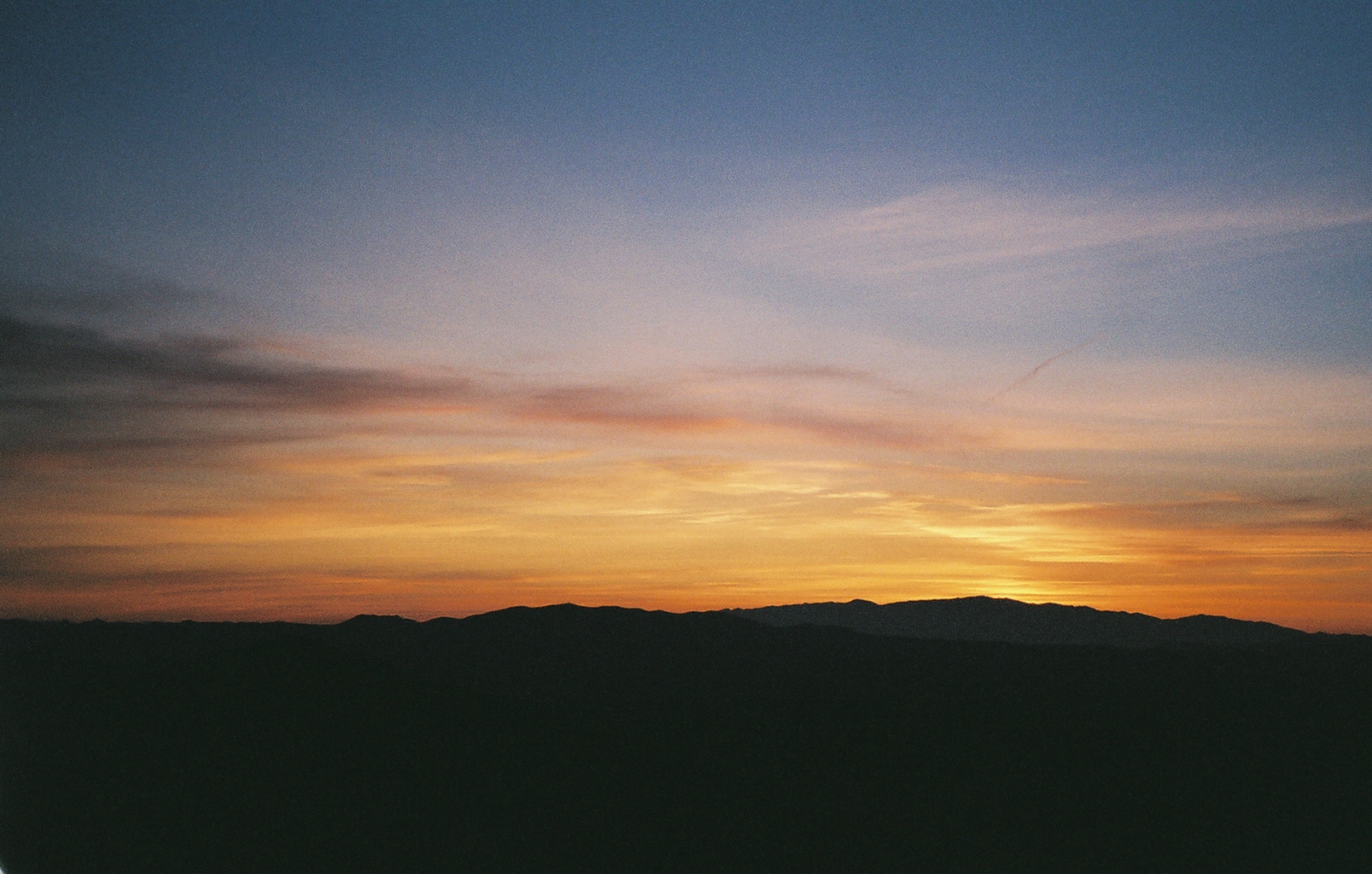
Sunset on the border of Arizona and New Mexico

Duncan Sunset
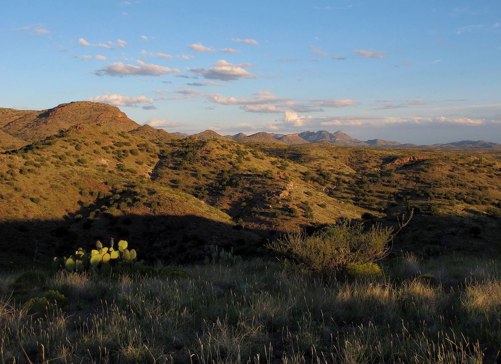
Wild West Landscapes I
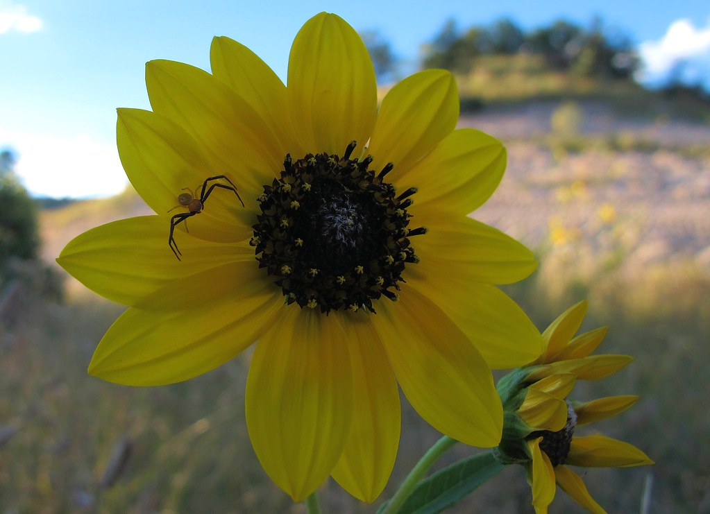
Lurking Predator
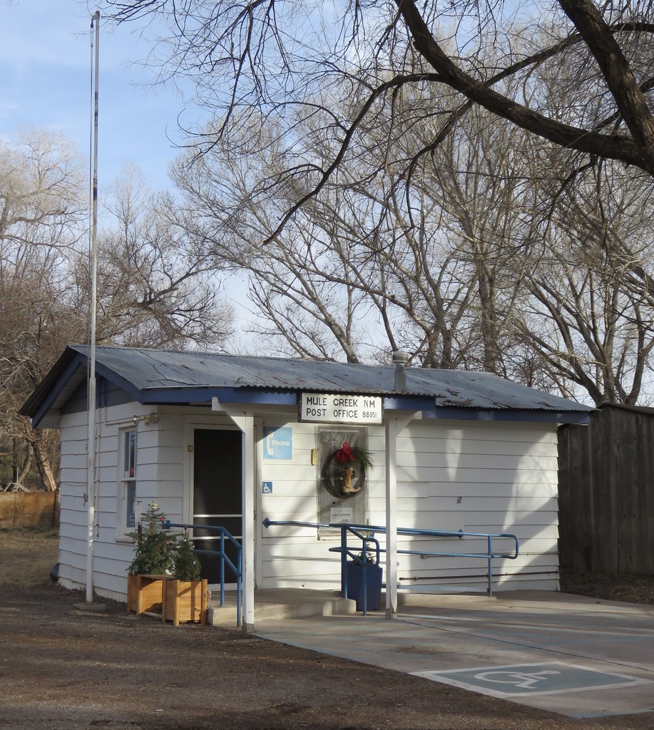
Post Office 88051 (Mule Creek, New Mexico)

Duckweed on pond on old ranch near Mule Cr, NM_Nov 2014

Birdwing Grasshopper (Schistocerca obscura)_near Mule Cr, NM_Nov 2014

Grasshoppers mating 2_near Mule Cr, NM_Nov 2014
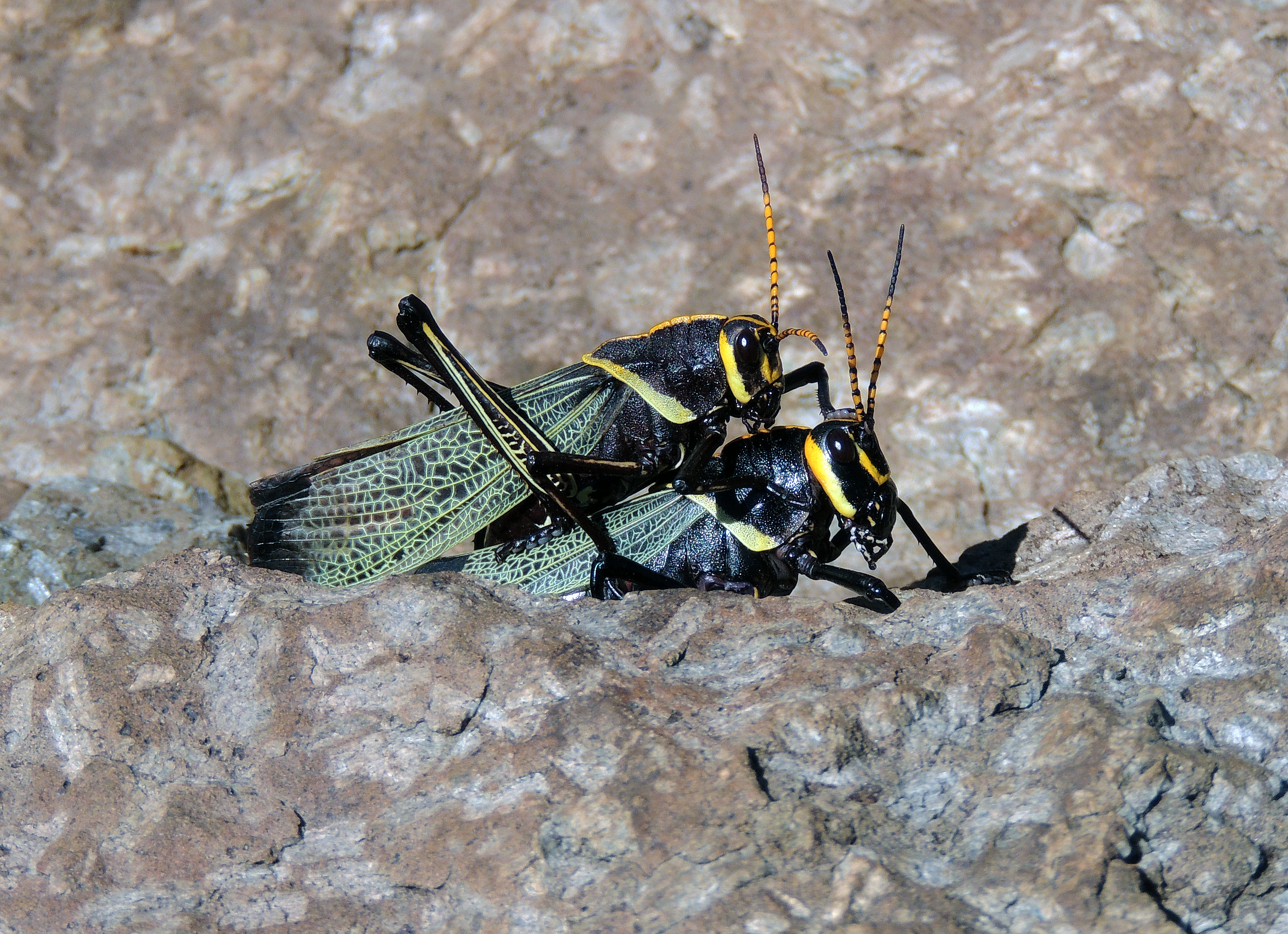
Grasshoppers mating_near Mule Cr, NM_Nov 2014

Dwarf Vervain (Glandularia pumila)_near Mule Cr NM_Nov 2014

Apache National Forest, on Devil's Highway, Arizona

Gila National Forest, on Devil's Highway, Arizona

Gila National Forest, on Devil's Highway, Arizona
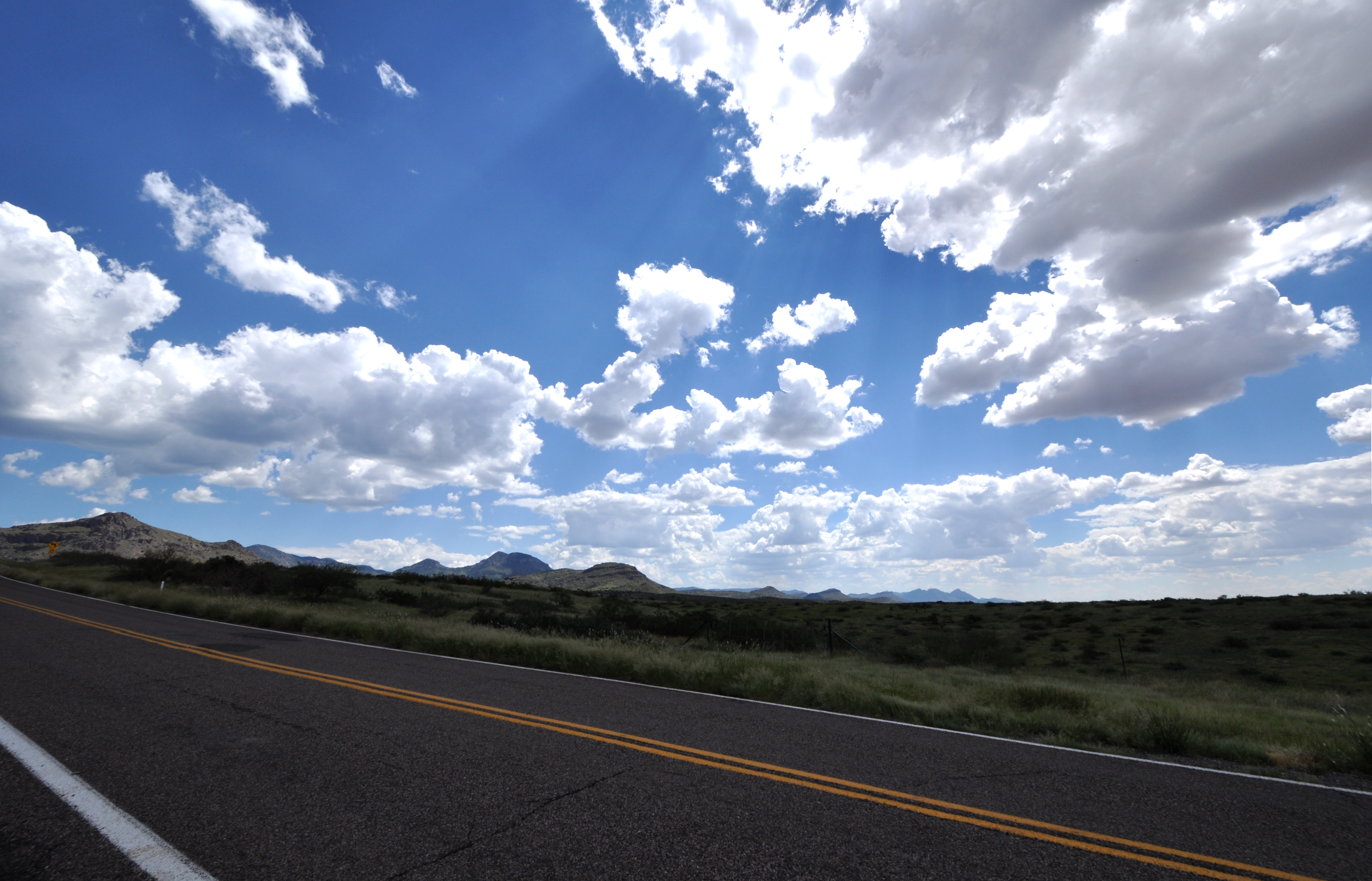
Mule Creek Road
All South West USA in One Shot...
Mule Creek Road
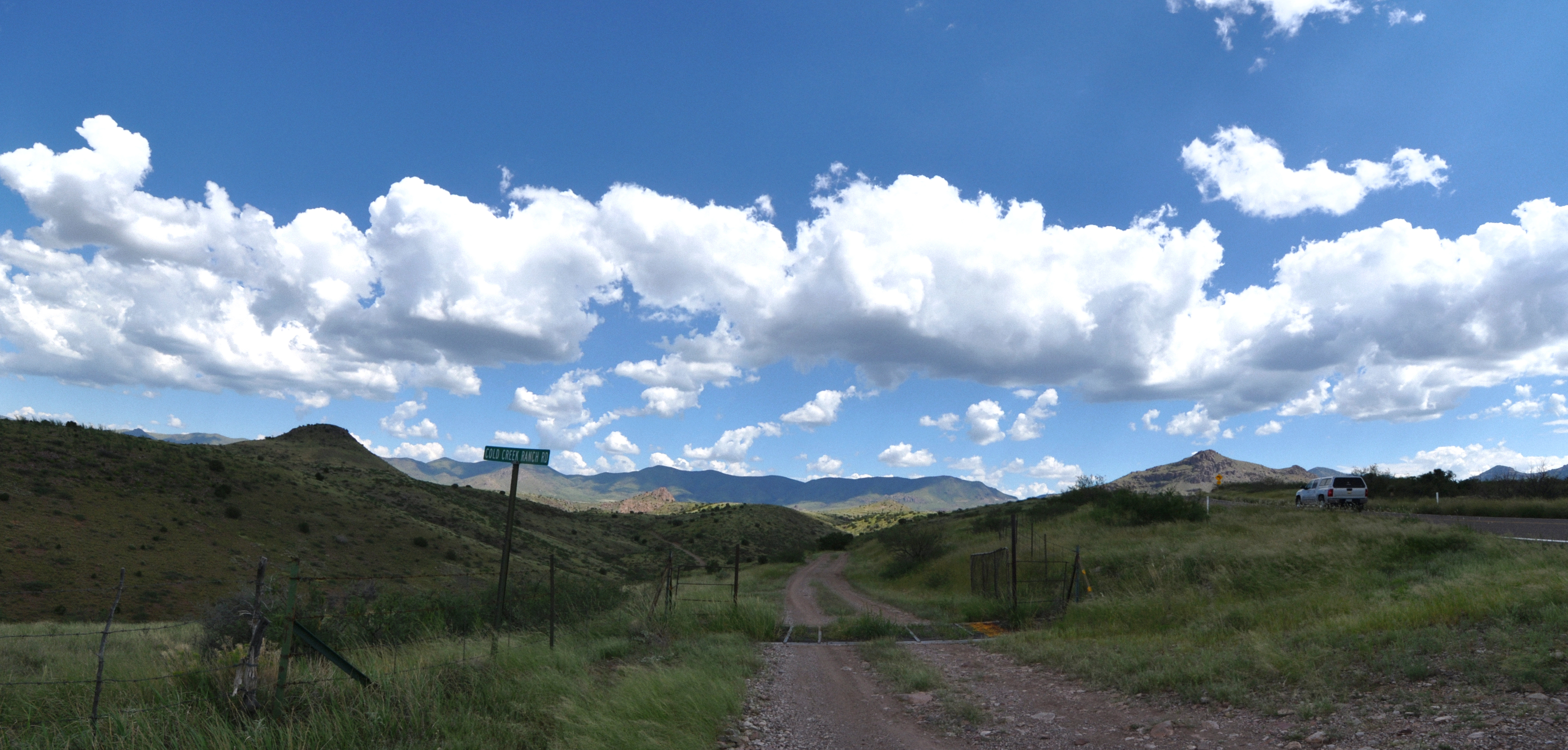
Mule Creek Road

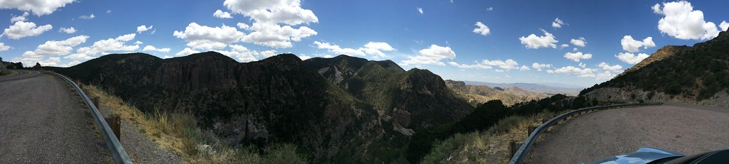
Pano, Highway 78, Apache National Forest

Hwy 78, the Apache National Forest

Hwy 78, the Apache National Forest

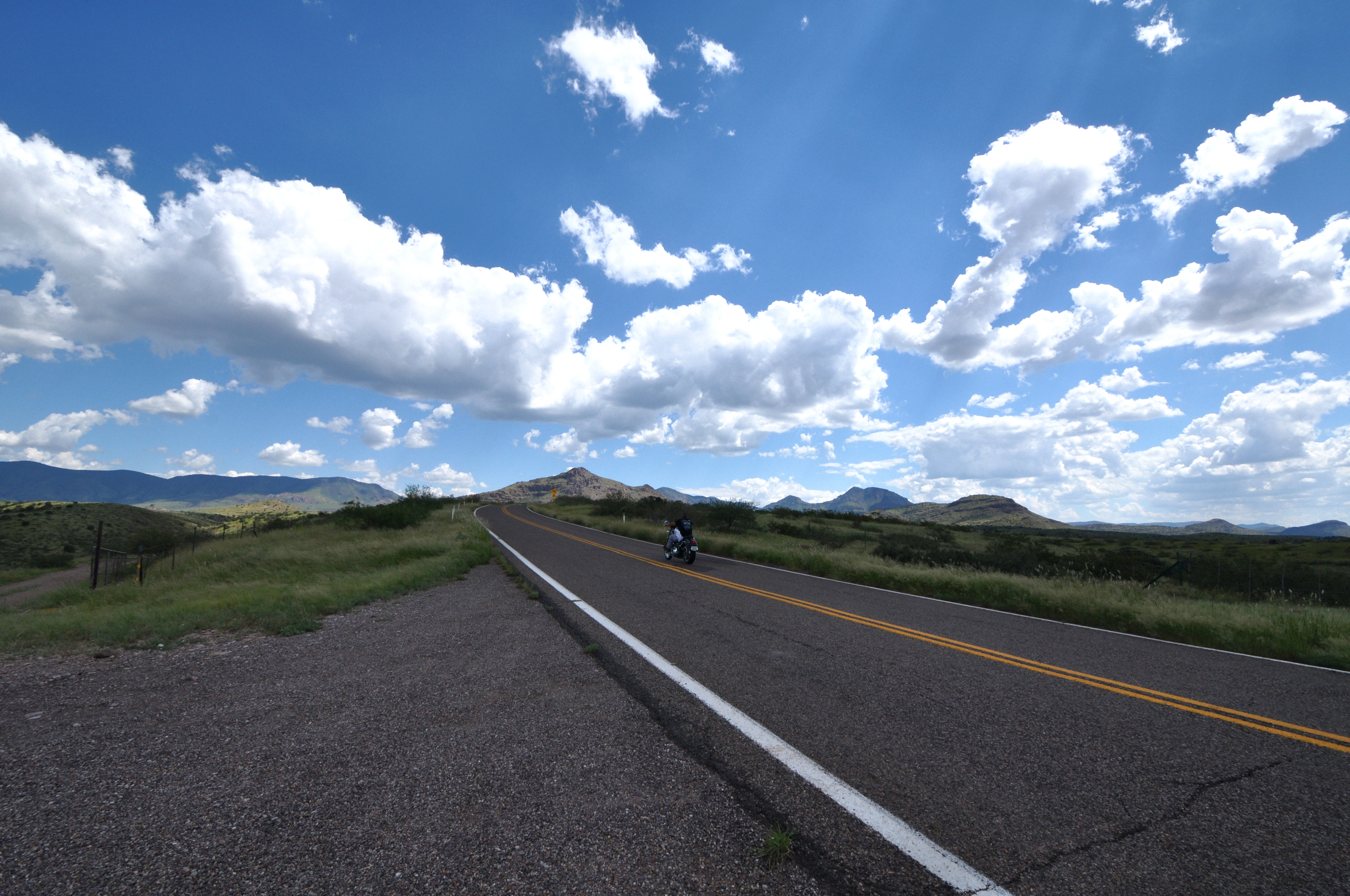
Gila National Forest pano #motorcycling #motorcycling #motorcycles #newmexico
West side of AZ-78
Mapa de Tillie Hall Peak, New Mexico, EE. UU.
Buscar otro lugar
Lugares cercanos
Yellowjacket Peak, New Mexico, EE. UU.
Winchester Peak, New Mexico, EE. UU.
Brushy Mountain, New Mexico, EE. UU.
McMullen Peak, New Mexico, EE. UU.
Crookson Peak, New Mexico, EE. UU.
Saddleback Mountain, New Mexico, EE. UU.
Summit Peak, New Mexico, EE. UU.
Deer Peak, New Mexico, EE. UU.
Vanderbilt Peak, New Mexico, EE. UU.
Mule Creek, NM, EE. UU.
Dry Section Mountain, New Mexico, EE. UU.
Applegate Mountain, New Mexico, EE. UU.
Mule Mountains HP, New Mexico, EE. UU.
Outlaw Mountain, New Mexico, EE. UU.
Bobcat Dr, Clifton, AZ, EE. UU.
Guthrie, AZ, EE. UU.
Aldo Leopold Vista Picnic Area (recgovnpsdata), New Mexico, Estados Unidos
Sundial Mountain, New Mexico, EE. UU.
Duncan, Arizona, EE. UU.
Clifton, Arizona, EE. UU.
Búsquedas recientes
- Horas de salida y puesta de sol de Red Dog Mine, AK, USA
- Horas de salida y puesta de sol de Am Bahnhof, Am bhf, Borken, Germany
- Horas de salida y puesta de sol de 4th St E, Sonoma, CA, EE. UU.
- Horas de salida y puesta de sol de Oakland Ave, Williamsport, PA, EE. UU.
- Horas de salida y puesta de sol de Via Roma, Pieranica CR, Italia
- Horas de salida y puesta de sol de Torre del reloj, Grad, Dubrovnik (Ragusa), Croacia
- Horas de salida y puesta de sol de Trelew, Chubut, Argentina
- Horas de salida y puesta de sol de Hartfords Bluff Cir, Mt Pleasant, SC, EE. UU.
- Horas de salida y puesta de sol de Kita Ward, Kumamoto, Japón
- Horas de salida y puesta de sol de Pingtan Island, Pingtan County, Fuzhou, China