Horas de salida y puesta de sol de Condado de Thurston, Washington, EE. UU.
Location: Estados Unidos > Washington >
Zona horaria:
America/Los_Angeles
Hora local:
2025-06-22 22:02:20
Longitud:
-122.7695986
Latitud:
46.8645747
Salida de sol de hoy:
05:17:18 AM
Puesta de sol de hoy:
09:09:41 PM
La duración del día hoy:
15h 52m 23s
Salida de sol de mañana:
05:17:39 AM
Puesta de sol de mañana:
09:09:46 PM
La duración del día mañana:
15h 52m 7s
Mostrar todas las fechas
| Fecha | Salida de sol | Puesta de sol | Duración del día |
|---|---|---|---|
| 01/01/2025 | 07:56:09 AM | 04:34:27 PM | 8h 38m 18s |
| 02/01/2025 | 07:56:04 AM | 04:35:27 PM | 8h 39m 23s |
| 03/01/2025 | 07:55:56 AM | 04:36:30 PM | 8h 40m 34s |
| 04/01/2025 | 07:55:45 AM | 04:37:34 PM | 8h 41m 49s |
| 05/01/2025 | 07:55:32 AM | 04:38:40 PM | 8h 43m 8s |
| 06/01/2025 | 07:55:15 AM | 04:39:48 PM | 8h 44m 33s |
| 07/01/2025 | 07:54:56 AM | 04:40:57 PM | 8h 46m 1s |
| 08/01/2025 | 07:54:35 AM | 04:42:09 PM | 8h 47m 34s |
| 09/01/2025 | 07:54:10 AM | 04:43:21 PM | 8h 49m 11s |
| 10/01/2025 | 07:53:43 AM | 04:44:36 PM | 8h 50m 53s |
| 11/01/2025 | 07:53:13 AM | 04:45:52 PM | 8h 52m 39s |
| 12/01/2025 | 07:52:41 AM | 04:47:09 PM | 8h 54m 28s |
| 13/01/2025 | 07:52:05 AM | 04:48:27 PM | 8h 56m 22s |
| 14/01/2025 | 07:51:28 AM | 04:49:47 PM | 8h 58m 19s |
| 15/01/2025 | 07:50:48 AM | 04:51:08 PM | 9h 0m 20s |
| 16/01/2025 | 07:50:05 AM | 04:52:30 PM | 9h 2m 25s |
| 17/01/2025 | 07:49:20 AM | 04:53:53 PM | 9h 4m 33s |
| 18/01/2025 | 07:48:32 AM | 04:55:17 PM | 9h 6m 45s |
| 19/01/2025 | 07:47:42 AM | 04:56:42 PM | 9h 9m 0s |
| 20/01/2025 | 07:46:50 AM | 04:58:08 PM | 9h 11m 18s |
| 21/01/2025 | 07:45:55 AM | 04:59:35 PM | 9h 13m 40s |
| 22/01/2025 | 07:44:58 AM | 05:01:02 PM | 9h 16m 4s |
| 23/01/2025 | 07:43:59 AM | 05:02:30 PM | 9h 18m 31s |
| 24/01/2025 | 07:42:58 AM | 05:03:59 PM | 9h 21m 1s |
| 25/01/2025 | 07:41:54 AM | 05:05:28 PM | 9h 23m 34s |
| 26/01/2025 | 07:40:48 AM | 05:06:57 PM | 9h 26m 9s |
| 27/01/2025 | 07:39:41 AM | 05:08:28 PM | 9h 28m 47s |
| 28/01/2025 | 07:38:31 AM | 05:09:58 PM | 9h 31m 27s |
| 29/01/2025 | 07:37:19 AM | 05:11:29 PM | 9h 34m 10s |
| 30/01/2025 | 07:36:06 AM | 05:13:00 PM | 9h 36m 54s |
| 31/01/2025 | 07:34:50 AM | 05:14:32 PM | 9h 39m 42s |
| 01/02/2025 | 07:33:33 AM | 05:16:03 PM | 9h 42m 30s |
| 02/02/2025 | 07:32:14 AM | 05:17:35 PM | 9h 45m 21s |
| 03/02/2025 | 07:30:53 AM | 05:19:07 PM | 9h 48m 14s |
| 04/02/2025 | 07:29:30 AM | 05:20:39 PM | 9h 51m 9s |
| 05/02/2025 | 07:28:06 AM | 05:22:11 PM | 9h 54m 5s |
| 06/02/2025 | 07:26:40 AM | 05:23:43 PM | 9h 57m 3s |
| 07/02/2025 | 07:25:12 AM | 05:25:15 PM | 10h 0m 3s |
| 08/02/2025 | 07:23:43 AM | 05:26:47 PM | 10h 3m 4s |
| 09/02/2025 | 07:22:13 AM | 05:28:19 PM | 10h 6m 6s |
| 10/02/2025 | 07:20:41 AM | 05:29:51 PM | 10h 9m 10s |
| 11/02/2025 | 07:19:07 AM | 05:31:23 PM | 10h 12m 16s |
| 12/02/2025 | 07:17:32 AM | 05:32:55 PM | 10h 15m 23s |
| 13/02/2025 | 07:15:56 AM | 05:34:26 PM | 10h 18m 30s |
| 14/02/2025 | 07:14:19 AM | 05:35:58 PM | 10h 21m 39s |
| 15/02/2025 | 07:12:40 AM | 05:37:29 PM | 10h 24m 49s |
| 16/02/2025 | 07:11:00 AM | 05:39:00 PM | 10h 28m 0s |
| 17/02/2025 | 07:09:19 AM | 05:40:31 PM | 10h 31m 12s |
| 18/02/2025 | 07:07:37 AM | 05:42:01 PM | 10h 34m 24s |
| 19/02/2025 | 07:05:54 AM | 05:43:32 PM | 10h 37m 38s |
| 20/02/2025 | 07:04:10 AM | 05:45:02 PM | 10h 40m 52s |
| 21/02/2025 | 07:02:25 AM | 05:46:31 PM | 10h 44m 6s |
| 22/02/2025 | 07:00:39 AM | 05:48:01 PM | 10h 47m 22s |
| 23/02/2025 | 06:58:51 AM | 05:49:30 PM | 10h 50m 39s |
| 24/02/2025 | 06:57:03 AM | 05:50:59 PM | 10h 53m 56s |
| 25/02/2025 | 06:55:15 AM | 05:52:28 PM | 10h 57m 13s |
| 26/02/2025 | 06:53:25 AM | 05:53:56 PM | 11h 0m 31s |
| 27/02/2025 | 06:51:34 AM | 05:55:24 PM | 11h 3m 50s |
| 28/02/2025 | 06:49:43 AM | 05:56:52 PM | 11h 7m 9s |
| 01/03/2025 | 06:47:51 AM | 05:58:20 PM | 11h 10m 29s |
| 02/03/2025 | 06:45:59 AM | 05:59:47 PM | 11h 13m 48s |
| 03/03/2025 | 06:44:05 AM | 06:01:14 PM | 11h 17m 9s |
| 04/03/2025 | 06:42:12 AM | 06:02:41 PM | 11h 20m 29s |
| 05/03/2025 | 06:40:17 AM | 06:04:08 PM | 11h 23m 51s |
| 06/03/2025 | 06:38:22 AM | 06:05:34 PM | 11h 27m 12s |
| 07/03/2025 | 06:36:27 AM | 06:07:00 PM | 11h 30m 33s |
| 08/03/2025 | 06:34:31 AM | 06:08:26 PM | 11h 33m 55s |
| 09/03/2025 | 07:32:39 AM | 07:09:47 PM | 11h 37m 8s |
| 10/03/2025 | 07:30:43 AM | 07:11:13 PM | 11h 40m 30s |
| 11/03/2025 | 07:28:45 AM | 07:12:38 PM | 11h 43m 53s |
| 12/03/2025 | 07:26:48 AM | 07:14:03 PM | 11h 47m 15s |
| 13/03/2025 | 07:24:50 AM | 07:15:27 PM | 11h 50m 37s |
| 14/03/2025 | 07:22:52 AM | 07:16:52 PM | 11h 54m 0s |
| 15/03/2025 | 07:20:54 AM | 07:18:16 PM | 11h 57m 22s |
| 16/03/2025 | 07:18:55 AM | 07:19:40 PM | 12h 0m 45s |
| 17/03/2025 | 07:16:57 AM | 07:21:04 PM | 12h 4m 7s |
| 18/03/2025 | 07:14:58 AM | 07:22:27 PM | 12h 7m 29s |
| 19/03/2025 | 07:12:59 AM | 07:23:51 PM | 12h 10m 52s |
| 20/03/2025 | 07:11:00 AM | 07:25:14 PM | 12h 14m 14s |
| 21/03/2025 | 07:09:01 AM | 07:26:38 PM | 12h 17m 37s |
| 22/03/2025 | 07:07:02 AM | 07:28:01 PM | 12h 20m 59s |
| 23/03/2025 | 07:05:03 AM | 07:29:24 PM | 12h 24m 21s |
| 24/03/2025 | 07:03:04 AM | 07:30:47 PM | 12h 27m 43s |
| 25/03/2025 | 07:01:04 AM | 07:32:09 PM | 12h 31m 5s |
| 26/03/2025 | 06:59:06 AM | 07:33:32 PM | 12h 34m 26s |
| 27/03/2025 | 06:57:07 AM | 07:34:55 PM | 12h 37m 48s |
| 28/03/2025 | 06:55:08 AM | 07:36:17 PM | 12h 41m 9s |
| 29/03/2025 | 06:53:10 AM | 07:37:40 PM | 12h 44m 30s |
| 30/03/2025 | 06:51:12 AM | 07:39:02 PM | 12h 47m 50s |
| 31/03/2025 | 06:49:14 AM | 07:40:24 PM | 12h 51m 10s |
| 01/04/2025 | 06:47:16 AM | 07:41:47 PM | 12h 54m 31s |
| 02/04/2025 | 06:45:19 AM | 07:43:09 PM | 12h 57m 50s |
| 03/04/2025 | 06:43:22 AM | 07:44:31 PM | 13h 1m 9s |
| 04/04/2025 | 06:41:25 AM | 07:45:54 PM | 13h 4m 29s |
| 05/04/2025 | 06:39:29 AM | 07:47:16 PM | 13h 7m 47s |
| 06/04/2025 | 06:37:33 AM | 07:48:38 PM | 13h 11m 5s |
| 07/04/2025 | 06:35:38 AM | 07:50:00 PM | 13h 14m 22s |
| 08/04/2025 | 06:33:43 AM | 07:51:22 PM | 13h 17m 39s |
| 09/04/2025 | 06:31:49 AM | 07:52:44 PM | 13h 20m 55s |
| 10/04/2025 | 06:29:55 AM | 07:54:07 PM | 13h 24m 12s |
| 11/04/2025 | 06:28:02 AM | 07:55:29 PM | 13h 27m 27s |
| 12/04/2025 | 06:26:09 AM | 07:56:51 PM | 13h 30m 42s |
| 13/04/2025 | 06:24:18 AM | 07:58:13 PM | 13h 33m 55s |
| 14/04/2025 | 06:22:27 AM | 07:59:35 PM | 13h 37m 8s |
| 15/04/2025 | 06:20:36 AM | 08:00:57 PM | 13h 40m 21s |
| 16/04/2025 | 06:18:47 AM | 08:02:19 PM | 13h 43m 32s |
| 17/04/2025 | 06:16:58 AM | 08:03:41 PM | 13h 46m 43s |
| 18/04/2025 | 06:15:10 AM | 08:05:03 PM | 13h 49m 53s |
| 19/04/2025 | 06:13:23 AM | 08:06:25 PM | 13h 53m 2s |
| 20/04/2025 | 06:11:37 AM | 08:07:47 PM | 13h 56m 10s |
| 21/04/2025 | 06:09:52 AM | 08:09:09 PM | 13h 59m 17s |
| 22/04/2025 | 06:08:08 AM | 08:10:31 PM | 14h 2m 23s |
| 23/04/2025 | 06:06:25 AM | 08:11:53 PM | 14h 5m 28s |
| 24/04/2025 | 06:04:43 AM | 08:13:14 PM | 14h 8m 31s |
| 25/04/2025 | 06:03:02 AM | 08:14:36 PM | 14h 11m 34s |
| 26/04/2025 | 06:01:22 AM | 08:15:57 PM | 14h 14m 35s |
| 27/04/2025 | 05:59:44 AM | 08:17:18 PM | 14h 17m 34s |
| 28/04/2025 | 05:58:06 AM | 08:18:39 PM | 14h 20m 33s |
| 29/04/2025 | 05:56:30 AM | 08:20:00 PM | 14h 23m 30s |
| 30/04/2025 | 05:54:55 AM | 08:21:21 PM | 14h 26m 26s |
| 01/05/2025 | 05:53:22 AM | 08:22:41 PM | 14h 29m 19s |
| 02/05/2025 | 05:51:49 AM | 08:24:01 PM | 14h 32m 12s |
| 03/05/2025 | 05:50:19 AM | 08:25:21 PM | 14h 35m 2s |
| 04/05/2025 | 05:48:49 AM | 08:26:40 PM | 14h 37m 51s |
| 05/05/2025 | 05:47:21 AM | 08:27:59 PM | 14h 40m 38s |
| 06/05/2025 | 05:45:55 AM | 08:29:18 PM | 14h 43m 23s |
| 07/05/2025 | 05:44:30 AM | 08:30:36 PM | 14h 46m 6s |
| 08/05/2025 | 05:43:07 AM | 08:31:54 PM | 14h 48m 47s |
| 09/05/2025 | 05:41:46 AM | 08:33:11 PM | 14h 51m 25s |
| 10/05/2025 | 05:40:26 AM | 08:34:28 PM | 14h 54m 2s |
| 11/05/2025 | 05:39:08 AM | 08:35:44 PM | 14h 56m 36s |
| 12/05/2025 | 05:37:51 AM | 08:37:00 PM | 14h 59m 9s |
| 13/05/2025 | 05:36:37 AM | 08:38:15 PM | 15h 1m 38s |
| 14/05/2025 | 05:35:24 AM | 08:39:29 PM | 15h 4m 5s |
| 15/05/2025 | 05:34:13 AM | 08:40:42 PM | 15h 6m 29s |
| 16/05/2025 | 05:33:04 AM | 08:41:55 PM | 15h 8m 51s |
| 17/05/2025 | 05:31:57 AM | 08:43:07 PM | 15h 11m 10s |
| 18/05/2025 | 05:30:52 AM | 08:44:18 PM | 15h 13m 26s |
| 19/05/2025 | 05:29:49 AM | 08:45:28 PM | 15h 15m 39s |
| 20/05/2025 | 05:28:48 AM | 08:46:37 PM | 15h 17m 49s |
| 21/05/2025 | 05:27:50 AM | 08:47:45 PM | 15h 19m 55s |
| 22/05/2025 | 05:26:53 AM | 08:48:52 PM | 15h 21m 59s |
| 23/05/2025 | 05:25:58 AM | 08:49:58 PM | 15h 24m 0s |
| 24/05/2025 | 05:25:06 AM | 08:51:02 PM | 15h 25m 56s |
| 25/05/2025 | 05:24:16 AM | 08:52:05 PM | 15h 27m 49s |
| 26/05/2025 | 05:23:28 AM | 08:53:07 PM | 15h 29m 39s |
| 27/05/2025 | 05:22:42 AM | 08:54:08 PM | 15h 31m 26s |
| 28/05/2025 | 05:21:59 AM | 08:55:07 PM | 15h 33m 8s |
| 29/05/2025 | 05:21:18 AM | 08:56:05 PM | 15h 34m 47s |
| 30/05/2025 | 05:20:39 AM | 08:57:01 PM | 15h 36m 22s |
| 31/05/2025 | 05:20:03 AM | 08:57:56 PM | 15h 37m 53s |
| 01/06/2025 | 05:19:29 AM | 08:58:49 PM | 15h 39m 20s |
| 02/06/2025 | 05:18:58 AM | 08:59:40 PM | 15h 40m 42s |
| 03/06/2025 | 05:18:29 AM | 09:00:30 PM | 15h 42m 1s |
| 04/06/2025 | 05:18:03 AM | 09:01:18 PM | 15h 43m 15s |
| 05/06/2025 | 05:17:39 AM | 09:02:04 PM | 15h 44m 25s |
| 06/06/2025 | 05:17:17 AM | 09:02:48 PM | 15h 45m 31s |
| 07/06/2025 | 05:16:58 AM | 09:03:30 PM | 15h 46m 32s |
| 08/06/2025 | 05:16:41 AM | 09:04:10 PM | 15h 47m 29s |
| 09/06/2025 | 05:16:27 AM | 09:04:48 PM | 15h 48m 21s |
| 10/06/2025 | 05:16:16 AM | 09:05:24 PM | 15h 49m 8s |
| 11/06/2025 | 05:16:07 AM | 09:05:58 PM | 15h 49m 51s |
| 12/06/2025 | 05:16:00 AM | 09:06:29 PM | 15h 50m 29s |
| 13/06/2025 | 05:15:56 AM | 09:06:59 PM | 15h 51m 3s |
| 14/06/2025 | 05:15:55 AM | 09:07:26 PM | 15h 51m 31s |
| 15/06/2025 | 05:15:56 AM | 09:07:51 PM | 15h 51m 55s |
| 16/06/2025 | 05:15:59 AM | 09:08:13 PM | 15h 52m 14s |
| 17/06/2025 | 05:16:05 AM | 09:08:34 PM | 15h 52m 29s |
| 18/06/2025 | 05:16:13 AM | 09:08:52 PM | 15h 52m 39s |
| 19/06/2025 | 05:16:24 AM | 09:09:07 PM | 15h 52m 43s |
| 20/06/2025 | 05:16:37 AM | 09:09:20 PM | 15h 52m 43s |
| 21/06/2025 | 05:16:53 AM | 09:09:30 PM | 15h 52m 37s |
| 22/06/2025 | 05:17:11 AM | 09:09:39 PM | 15h 52m 28s |
| 23/06/2025 | 05:17:31 AM | 09:09:44 PM | 15h 52m 13s |
| 24/06/2025 | 05:17:53 AM | 09:09:47 PM | 15h 51m 54s |
| 25/06/2025 | 05:18:18 AM | 09:09:48 PM | 15h 51m 30s |
| 26/06/2025 | 05:18:45 AM | 09:09:46 PM | 15h 51m 1s |
| 27/06/2025 | 05:19:14 AM | 09:09:41 PM | 15h 50m 27s |
| 28/06/2025 | 05:19:45 AM | 09:09:34 PM | 15h 49m 49s |
| 29/06/2025 | 05:20:19 AM | 09:09:24 PM | 15h 49m 5s |
| 30/06/2025 | 05:20:54 AM | 09:09:12 PM | 15h 48m 18s |
| 01/07/2025 | 05:21:31 AM | 09:08:57 PM | 15h 47m 26s |
| 02/07/2025 | 05:22:11 AM | 09:08:40 PM | 15h 46m 29s |
| 03/07/2025 | 05:22:52 AM | 09:08:20 PM | 15h 45m 28s |
| 04/07/2025 | 05:23:35 AM | 09:07:57 PM | 15h 44m 22s |
| 05/07/2025 | 05:24:20 AM | 09:07:33 PM | 15h 43m 13s |
| 06/07/2025 | 05:25:07 AM | 09:07:05 PM | 15h 41m 58s |
| 07/07/2025 | 05:25:55 AM | 09:06:35 PM | 15h 40m 40s |
| 08/07/2025 | 05:26:45 AM | 09:06:03 PM | 15h 39m 18s |
| 09/07/2025 | 05:27:37 AM | 09:05:28 PM | 15h 37m 51s |
| 10/07/2025 | 05:28:30 AM | 09:04:51 PM | 15h 36m 21s |
| 11/07/2025 | 05:29:25 AM | 09:04:11 PM | 15h 34m 46s |
| 12/07/2025 | 05:30:21 AM | 09:03:29 PM | 15h 33m 8s |
| 13/07/2025 | 05:31:18 AM | 09:02:45 PM | 15h 31m 27s |
| 14/07/2025 | 05:32:17 AM | 09:01:58 PM | 15h 29m 41s |
| 15/07/2025 | 05:33:17 AM | 09:01:09 PM | 15h 27m 52s |
| 16/07/2025 | 05:34:18 AM | 09:00:17 PM | 15h 25m 59s |
| 17/07/2025 | 05:35:21 AM | 08:59:24 PM | 15h 24m 3s |
| 18/07/2025 | 05:36:25 AM | 08:58:28 PM | 15h 22m 3s |
| 19/07/2025 | 05:37:29 AM | 08:57:30 PM | 15h 20m 1s |
| 20/07/2025 | 05:38:35 AM | 08:56:30 PM | 15h 17m 55s |
| 21/07/2025 | 05:39:42 AM | 08:55:28 PM | 15h 15m 46s |
| 22/07/2025 | 05:40:49 AM | 08:54:24 PM | 15h 13m 35s |
| 23/07/2025 | 05:41:57 AM | 08:53:18 PM | 15h 11m 21s |
| 24/07/2025 | 05:43:07 AM | 08:52:09 PM | 15h 9m 2s |
| 25/07/2025 | 05:44:17 AM | 08:50:59 PM | 15h 6m 42s |
| 26/07/2025 | 05:45:27 AM | 08:49:47 PM | 15h 4m 20s |
| 27/07/2025 | 05:46:39 AM | 08:48:33 PM | 15h 1m 54s |
| 28/07/2025 | 05:47:51 AM | 08:47:17 PM | 14h 59m 26s |
| 29/07/2025 | 05:49:03 AM | 08:45:59 PM | 14h 56m 56s |
| 30/07/2025 | 05:50:16 AM | 08:44:40 PM | 14h 54m 24s |
| 31/07/2025 | 05:51:30 AM | 08:43:19 PM | 14h 51m 49s |
| 01/08/2025 | 05:52:44 AM | 08:41:56 PM | 14h 49m 12s |
| 02/08/2025 | 05:53:58 AM | 08:40:32 PM | 14h 46m 34s |
| 03/08/2025 | 05:55:13 AM | 08:39:06 PM | 14h 43m 53s |
| 04/08/2025 | 05:56:29 AM | 08:37:38 PM | 14h 41m 9s |
| 05/08/2025 | 05:57:44 AM | 08:36:09 PM | 14h 38m 25s |
| 06/08/2025 | 05:59:00 AM | 08:34:38 PM | 14h 35m 38s |
| 07/08/2025 | 06:00:16 AM | 08:33:06 PM | 14h 32m 50s |
| 08/08/2025 | 06:01:33 AM | 08:31:33 PM | 14h 30m 0s |
| 09/08/2025 | 06:02:49 AM | 08:29:58 PM | 14h 27m 9s |
| 10/08/2025 | 06:04:06 AM | 08:28:22 PM | 14h 24m 16s |
| 11/08/2025 | 06:05:23 AM | 08:26:44 PM | 14h 21m 21s |
| 12/08/2025 | 06:06:40 AM | 08:25:05 PM | 14h 18m 25s |
| 13/08/2025 | 06:07:58 AM | 08:23:25 PM | 14h 15m 27s |
| 14/08/2025 | 06:09:15 AM | 08:21:44 PM | 14h 12m 29s |
| 15/08/2025 | 06:10:32 AM | 08:20:02 PM | 14h 9m 30s |
| 16/08/2025 | 06:11:50 AM | 08:18:19 PM | 14h 6m 29s |
| 17/08/2025 | 06:13:08 AM | 08:16:34 PM | 14h 3m 26s |
| 18/08/2025 | 06:14:25 AM | 08:14:49 PM | 14h 0m 24s |
| 19/08/2025 | 06:15:43 AM | 08:13:02 PM | 13h 57m 19s |
| 20/08/2025 | 06:17:01 AM | 08:11:15 PM | 13h 54m 14s |
| 21/08/2025 | 06:18:18 AM | 08:09:26 PM | 13h 51m 8s |
| 22/08/2025 | 06:19:36 AM | 08:07:37 PM | 13h 48m 1s |
| 23/08/2025 | 06:20:54 AM | 08:05:47 PM | 13h 44m 53s |
| 24/08/2025 | 06:22:11 AM | 08:03:56 PM | 13h 41m 45s |
| 25/08/2025 | 06:23:29 AM | 08:02:04 PM | 13h 38m 35s |
| 26/08/2025 | 06:24:47 AM | 08:00:12 PM | 13h 35m 25s |
| 27/08/2025 | 06:26:04 AM | 07:58:19 PM | 13h 32m 15s |
| 28/08/2025 | 06:27:22 AM | 07:56:25 PM | 13h 29m 3s |
| 29/08/2025 | 06:28:40 AM | 07:54:30 PM | 13h 25m 50s |
| 30/08/2025 | 06:29:57 AM | 07:52:35 PM | 13h 22m 38s |
| 31/08/2025 | 06:31:15 AM | 07:50:40 PM | 13h 19m 25s |
| 01/09/2025 | 06:32:32 AM | 07:48:43 PM | 13h 16m 11s |
| 02/09/2025 | 06:33:50 AM | 07:46:47 PM | 13h 12m 57s |
| 03/09/2025 | 06:35:08 AM | 07:44:49 PM | 13h 9m 41s |
| 04/09/2025 | 06:36:25 AM | 07:42:52 PM | 13h 6m 27s |
| 05/09/2025 | 06:37:43 AM | 07:40:53 PM | 13h 3m 10s |
| 06/09/2025 | 06:39:00 AM | 07:38:55 PM | 12h 59m 55s |
| 07/09/2025 | 06:40:18 AM | 07:36:56 PM | 12h 56m 38s |
| 08/09/2025 | 06:41:35 AM | 07:34:57 PM | 12h 53m 22s |
| 09/09/2025 | 06:42:53 AM | 07:32:57 PM | 12h 50m 4s |
| 10/09/2025 | 06:44:10 AM | 07:30:57 PM | 12h 46m 47s |
| 11/09/2025 | 06:45:28 AM | 07:28:57 PM | 12h 43m 29s |
| 12/09/2025 | 06:46:45 AM | 07:26:57 PM | 12h 40m 12s |
| 13/09/2025 | 06:48:03 AM | 07:24:56 PM | 12h 36m 53s |
| 14/09/2025 | 06:49:21 AM | 07:22:56 PM | 12h 33m 35s |
| 15/09/2025 | 06:50:39 AM | 07:20:55 PM | 12h 30m 16s |
| 16/09/2025 | 06:51:57 AM | 07:18:54 PM | 12h 26m 57s |
| 17/09/2025 | 06:53:15 AM | 07:16:53 PM | 12h 23m 38s |
| 18/09/2025 | 06:54:33 AM | 07:14:52 PM | 12h 20m 19s |
| 19/09/2025 | 06:55:51 AM | 07:12:52 PM | 12h 17m 1s |
| 20/09/2025 | 06:57:09 AM | 07:10:51 PM | 12h 13m 42s |
| 21/09/2025 | 06:58:28 AM | 07:08:50 PM | 12h 10m 22s |
| 22/09/2025 | 06:59:47 AM | 07:06:49 PM | 12h 7m 2s |
| 23/09/2025 | 07:01:05 AM | 07:04:48 PM | 12h 3m 43s |
| 24/09/2025 | 07:02:24 AM | 07:02:48 PM | 12h 0m 24s |
| 25/09/2025 | 07:03:43 AM | 07:00:48 PM | 11h 57m 5s |
| 26/09/2025 | 07:05:03 AM | 06:58:48 PM | 11h 53m 45s |
| 27/09/2025 | 07:06:22 AM | 06:56:48 PM | 11h 50m 26s |
| 28/09/2025 | 07:07:42 AM | 06:54:48 PM | 11h 47m 6s |
| 29/09/2025 | 07:09:02 AM | 06:52:49 PM | 11h 43m 47s |
| 30/09/2025 | 07:10:22 AM | 06:50:50 PM | 11h 40m 28s |
| 01/10/2025 | 07:11:43 AM | 06:48:51 PM | 11h 37m 8s |
| 02/10/2025 | 07:13:03 AM | 06:46:53 PM | 11h 33m 50s |
| 03/10/2025 | 07:14:24 AM | 06:44:56 PM | 11h 30m 32s |
| 04/10/2025 | 07:15:45 AM | 06:42:58 PM | 11h 27m 13s |
| 05/10/2025 | 07:17:07 AM | 06:41:02 PM | 11h 23m 55s |
| 06/10/2025 | 07:18:28 AM | 06:39:05 PM | 11h 20m 37s |
| 07/10/2025 | 07:19:50 AM | 06:37:10 PM | 11h 17m 20s |
| 08/10/2025 | 07:21:13 AM | 06:35:15 PM | 11h 14m 2s |
| 09/10/2025 | 07:22:35 AM | 06:33:20 PM | 11h 10m 45s |
| 10/10/2025 | 07:23:58 AM | 06:31:26 PM | 11h 7m 28s |
| 11/10/2025 | 07:25:21 AM | 06:29:33 PM | 11h 4m 12s |
| 12/10/2025 | 07:26:45 AM | 06:27:41 PM | 11h 0m 56s |
| 13/10/2025 | 07:28:08 AM | 06:25:49 PM | 10h 57m 41s |
| 14/10/2025 | 07:29:32 AM | 06:23:59 PM | 10h 54m 27s |
| 15/10/2025 | 07:30:57 AM | 06:22:09 PM | 10h 51m 12s |
| 16/10/2025 | 07:32:22 AM | 06:20:19 PM | 10h 47m 57s |
| 17/10/2025 | 07:33:46 AM | 06:18:31 PM | 10h 44m 45s |
| 18/10/2025 | 07:35:12 AM | 06:16:44 PM | 10h 41m 32s |
| 19/10/2025 | 07:36:37 AM | 06:14:58 PM | 10h 38m 21s |
| 20/10/2025 | 07:38:03 AM | 06:13:13 PM | 10h 35m 10s |
| 21/10/2025 | 07:39:29 AM | 06:11:28 PM | 10h 31m 59s |
| 22/10/2025 | 07:40:56 AM | 06:09:45 PM | 10h 28m 49s |
| 23/10/2025 | 07:42:22 AM | 06:08:03 PM | 10h 25m 41s |
| 24/10/2025 | 07:43:49 AM | 06:06:23 PM | 10h 22m 34s |
| 25/10/2025 | 07:45:16 AM | 06:04:43 PM | 10h 19m 27s |
| 26/10/2025 | 07:46:44 AM | 06:03:05 PM | 10h 16m 21s |
| 27/10/2025 | 07:48:11 AM | 06:01:28 PM | 10h 13m 17s |
| 28/10/2025 | 07:49:39 AM | 05:59:52 PM | 10h 10m 13s |
| 29/10/2025 | 07:51:07 AM | 05:58:18 PM | 10h 7m 11s |
| 30/10/2025 | 07:52:35 AM | 05:56:45 PM | 10h 4m 10s |
| 31/10/2025 | 07:54:03 AM | 05:55:14 PM | 10h 1m 11s |
| 01/11/2025 | 07:55:31 AM | 05:53:44 PM | 9h 58m 13s |
| 02/11/2025 | 06:57:03 AM | 04:52:12 PM | 9h 55m 9s |
| 03/11/2025 | 06:58:32 AM | 04:50:46 PM | 9h 52m 14s |
| 04/11/2025 | 07:00:00 AM | 04:49:21 PM | 9h 49m 21s |
| 05/11/2025 | 07:01:29 AM | 04:47:57 PM | 9h 46m 28s |
| 06/11/2025 | 07:02:57 AM | 04:46:36 PM | 9h 43m 39s |
| 07/11/2025 | 07:04:25 AM | 04:45:16 PM | 9h 40m 51s |
| 08/11/2025 | 07:05:53 AM | 04:43:58 PM | 9h 38m 5s |
| 09/11/2025 | 07:07:21 AM | 04:42:42 PM | 9h 35m 21s |
| 10/11/2025 | 07:08:49 AM | 04:41:28 PM | 9h 32m 39s |
| 11/11/2025 | 07:10:16 AM | 04:40:15 PM | 9h 29m 59s |
| 12/11/2025 | 07:11:44 AM | 04:39:05 PM | 9h 27m 21s |
| 13/11/2025 | 07:13:10 AM | 04:37:57 PM | 9h 24m 47s |
| 14/11/2025 | 07:14:37 AM | 04:36:51 PM | 9h 22m 14s |
| 15/11/2025 | 07:16:03 AM | 04:35:47 PM | 9h 19m 44s |
| 16/11/2025 | 07:17:28 AM | 04:34:45 PM | 9h 17m 17s |
| 17/11/2025 | 07:18:53 AM | 04:33:45 PM | 9h 14m 52s |
| 18/11/2025 | 07:20:17 AM | 04:32:48 PM | 9h 12m 31s |
| 19/11/2025 | 07:21:41 AM | 04:31:53 PM | 9h 10m 12s |
| 20/11/2025 | 07:23:04 AM | 04:31:00 PM | 9h 7m 56s |
| 21/11/2025 | 07:24:26 AM | 04:30:10 PM | 9h 5m 44s |
| 22/11/2025 | 07:25:47 AM | 04:29:22 PM | 9h 3m 35s |
| 23/11/2025 | 07:27:08 AM | 04:28:37 PM | 9h 1m 29s |
| 24/11/2025 | 07:28:27 AM | 04:27:54 PM | 8h 59m 27s |
| 25/11/2025 | 07:29:46 AM | 04:27:13 PM | 8h 57m 27s |
| 26/11/2025 | 07:31:03 AM | 04:26:36 PM | 8h 55m 33s |
| 27/11/2025 | 07:32:19 AM | 04:26:00 PM | 8h 53m 41s |
| 28/11/2025 | 07:33:34 AM | 04:25:28 PM | 8h 51m 54s |
| 29/11/2025 | 07:34:47 AM | 04:24:58 PM | 8h 50m 11s |
| 30/11/2025 | 07:35:59 AM | 04:24:31 PM | 8h 48m 32s |
| 01/12/2025 | 07:37:10 AM | 04:24:06 PM | 8h 46m 56s |
| 02/12/2025 | 07:38:19 AM | 04:23:44 PM | 8h 45m 25s |
| 03/12/2025 | 07:39:26 AM | 04:23:25 PM | 8h 43m 59s |
| 04/12/2025 | 07:40:32 AM | 04:23:09 PM | 8h 42m 37s |
| 05/12/2025 | 07:41:36 AM | 04:22:56 PM | 8h 41m 20s |
| 06/12/2025 | 07:42:39 AM | 04:22:45 PM | 8h 40m 6s |
| 07/12/2025 | 07:43:39 AM | 04:22:37 PM | 8h 38m 58s |
| 08/12/2025 | 07:44:38 AM | 04:22:32 PM | 8h 37m 54s |
| 09/12/2025 | 07:45:34 AM | 04:22:30 PM | 8h 36m 56s |
| 10/12/2025 | 07:46:29 AM | 04:22:31 PM | 8h 36m 2s |
| 11/12/2025 | 07:47:21 AM | 04:22:34 PM | 8h 35m 13s |
| 12/12/2025 | 07:48:11 AM | 04:22:41 PM | 8h 34m 30s |
| 13/12/2025 | 07:48:59 AM | 04:22:50 PM | 8h 33m 51s |
| 14/12/2025 | 07:49:45 AM | 04:23:02 PM | 8h 33m 17s |
| 15/12/2025 | 07:50:29 AM | 04:23:17 PM | 8h 32m 48s |
| 16/12/2025 | 07:51:09 AM | 04:23:35 PM | 8h 32m 26s |
| 17/12/2025 | 07:51:48 AM | 04:23:55 PM | 8h 32m 7s |
| 18/12/2025 | 07:52:24 AM | 04:24:18 PM | 8h 31m 54s |
| 19/12/2025 | 07:52:58 AM | 04:24:44 PM | 8h 31m 46s |
| 20/12/2025 | 07:53:29 AM | 04:25:13 PM | 8h 31m 44s |
| 21/12/2025 | 07:53:57 AM | 04:25:44 PM | 8h 31m 47s |
| 22/12/2025 | 07:54:23 AM | 04:26:18 PM | 8h 31m 55s |
| 23/12/2025 | 07:54:46 AM | 04:26:55 PM | 8h 32m 9s |
| 24/12/2025 | 07:55:06 AM | 04:27:34 PM | 8h 32m 28s |
| 25/12/2025 | 07:55:24 AM | 04:28:15 PM | 8h 32m 51s |
| 26/12/2025 | 07:55:39 AM | 04:28:59 PM | 8h 33m 20s |
| 27/12/2025 | 07:55:51 AM | 04:29:46 PM | 8h 33m 55s |
| 28/12/2025 | 07:56:00 AM | 04:30:35 PM | 8h 34m 35s |
| 29/12/2025 | 07:56:07 AM | 04:31:26 PM | 8h 35m 19s |
| 30/12/2025 | 07:56:11 AM | 04:32:19 PM | 8h 36m 8s |
| 31/12/2025 | 07:56:12 AM | 04:33:15 PM | 8h 37m 3s |
Fotos

they made a pretty sweet lookin golf course out of an old granite factory

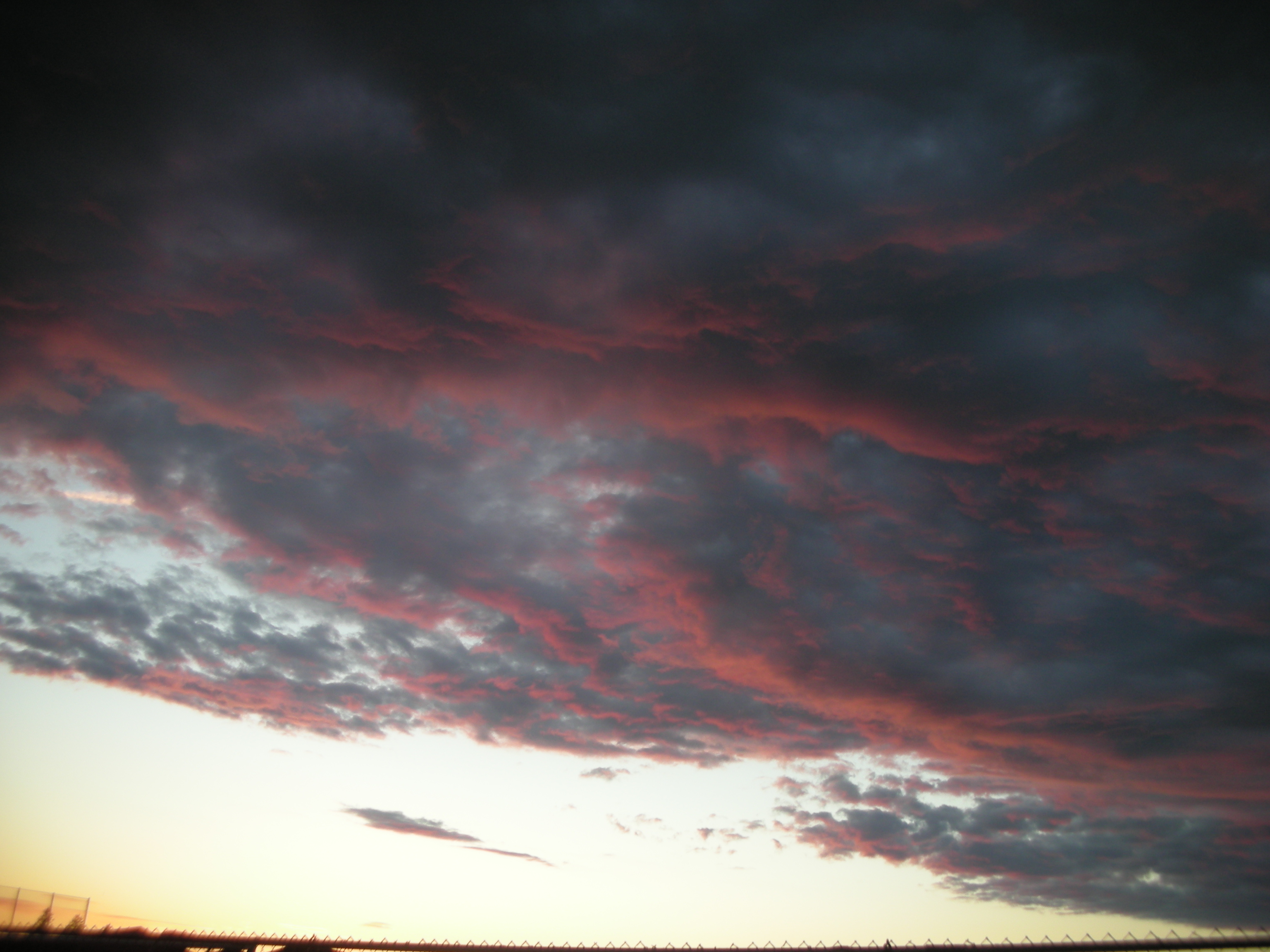
Oh my. #cloudporn #seattleadventure #kellycon2
Dang sunrise you sure looked good this morning. #nofilter

Lawrence Lake AM

Saturday morning
Island and Cattails

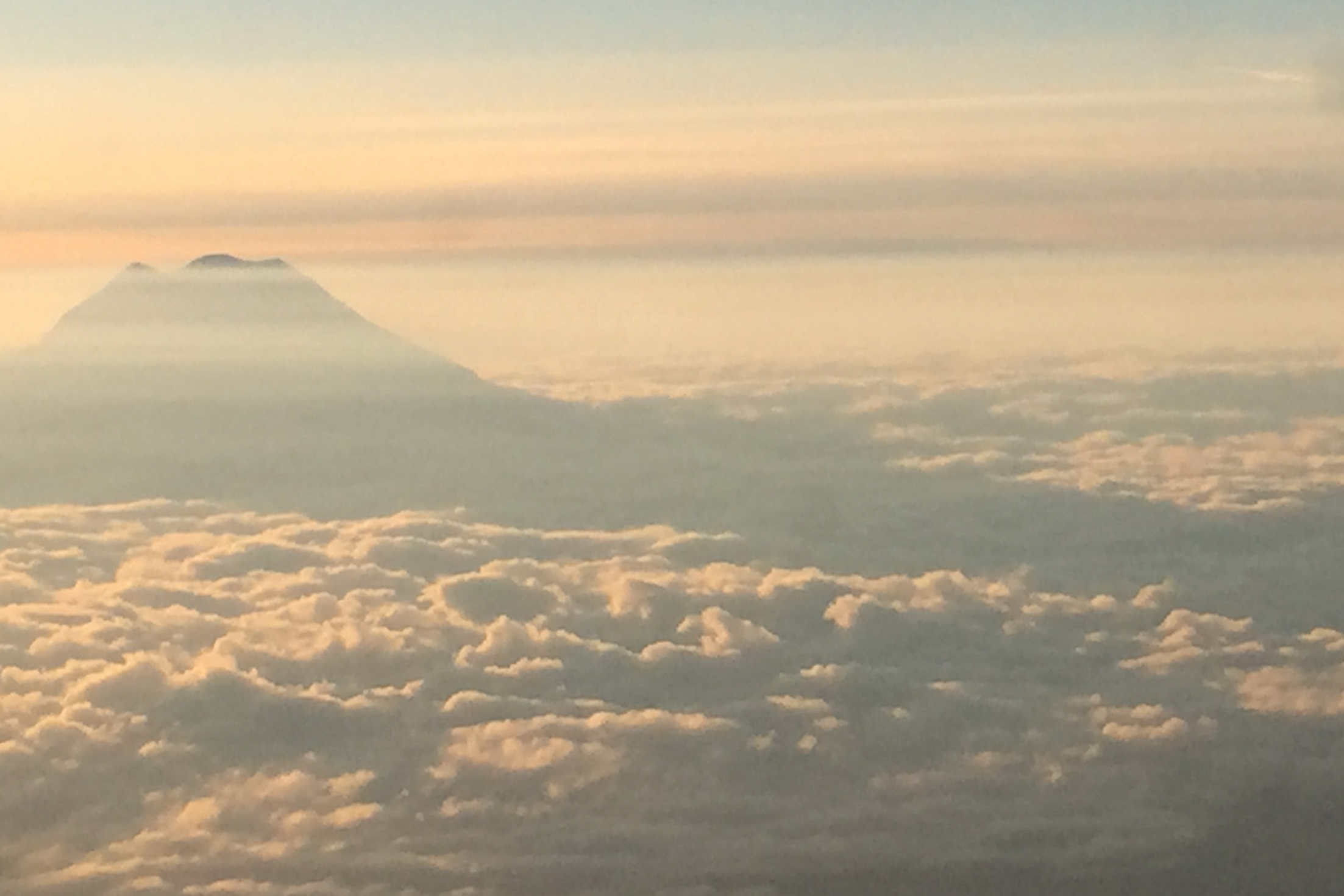
Mt Rainier at Lawrence Lake

Sunrise, Lawrence lake and Mt Rainier
Mt Rainier at Sunset
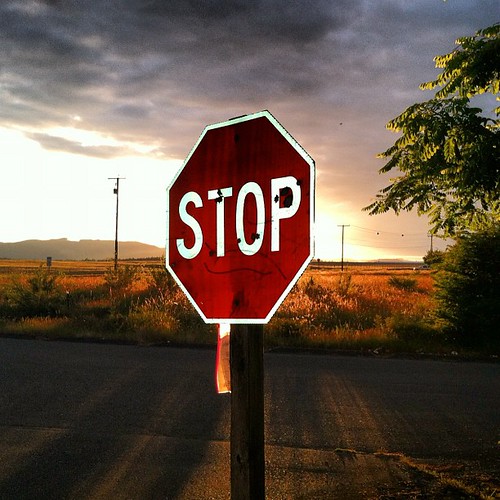
Yelm sunset

Yelm sunset

Yelm sunset
Yelm sunset

My House at sunset.
My Aviary-Edited Photo
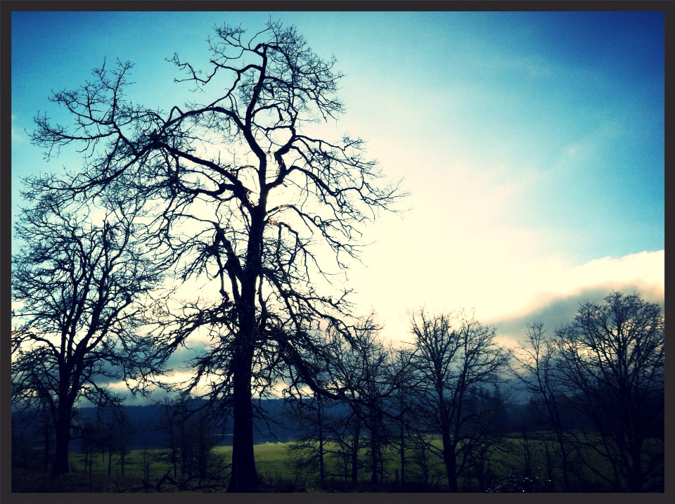
You can't stop the sun from going down. Even in late June.

Chehalis Western Trail

Chehalis Western Trail

Star Trails, Bon Fire and Tiki Torches
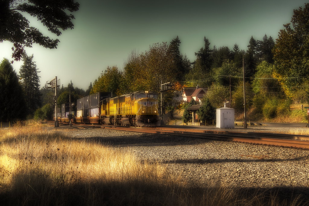
Freight Train

cotton candy

Island on Fire
MT. Rainier and shadow
Mapa de Condado de Thurston, Washington, EE. UU.
Buscar otro lugar
lugares en Condado de Thurston, Washington, EE. UU.
Olympia, Washington, EE. UU.
Lacey, Washington, EE. UU.
Rochester, Washington, EE. UU.
Tenino, Washington, EE. UU.
Tumwater, Washington, EE. UU.
Yelm, Washington, EE. UU.
Rainier, Washington, EE. UU.
Bucoda, Washington, EE. UU.
Tanglewilde, Washington, EE. UU.
Lugares cercanos
Military Rd SE, Tenino, WA, EE. UU.
th Ave SE, Rainier, WA, EE. UU.
Skookumchuck Rd SE, Tenino, WA, EE. UU.
Hodgden St S, Tenino, WA, EE. UU.
Tenino, Washington, EE. UU.
Binghampton St, Rainier, WA, EE. UU.
Rainier, Washington, EE. UU.
Tipsoo Loop N, Rainier, WA, EE. UU.
Tucker Rd SE, Olympia, WA, EE. UU.
Bucoda Hwy SE, Tenino, WA, EE. UU.
Fir Tree Rd SE, Olympia, WA, EE. UU.
S Nenant St, Bucoda, WA, EE. UU.
Bucoda, Washington, EE. UU.
Yelm Hwy SE, Olympia, WA, EE. UU.
Ashdown Ln SE, Lacey, WA, EE. UU.
60th Lane Southeast, 60th Ln SE, Olympia, WA, EE. UU.
Stardust Ln SE, Olympia, WA, EE. UU.
Kiwa Dr SE, Olympia, WA, EE. UU.
Thornbury Drive Southeast, Thornbury Dr SE, Lacey, WA, EE. UU.
Sitkum Dr SE, Olympia, WA, EE. UU.
Búsquedas recientes
- Horas de salida y puesta de sol de Red Dog Mine, AK, USA
- Horas de salida y puesta de sol de Am Bahnhof, Am bhf, Borken, Germany
- Horas de salida y puesta de sol de 4th St E, Sonoma, CA, EE. UU.
- Horas de salida y puesta de sol de Oakland Ave, Williamsport, PA, EE. UU.
- Horas de salida y puesta de sol de Via Roma, Pieranica CR, Italia
- Horas de salida y puesta de sol de Torre del reloj, Grad, Dubrovnik (Ragusa), Croacia
- Horas de salida y puesta de sol de Trelew, Chubut, Argentina
- Horas de salida y puesta de sol de Hartfords Bluff Cir, Mt Pleasant, SC, EE. UU.
- Horas de salida y puesta de sol de Kita Ward, Kumamoto, Japón
- Horas de salida y puesta de sol de Pingtan Island, Pingtan County, Fuzhou, China