Horas de salida y puesta de sol de Texas Creek Rd, Carlton, WA, EE. UU.
Location: Estados Unidos > Washington > Carlton >
Zona horaria:
America/Los_Angeles
Hora local:
2025-07-12 12:20:20
Longitud:
-120.022744
Latitud:
48.209133
Salida de sol de hoy:
05:14:17 AM
Puesta de sol de hoy:
08:57:39 PM
La duración del día hoy:
15h 43m 22s
Salida de sol de mañana:
05:15:18 AM
Puesta de sol de mañana:
08:56:51 PM
La duración del día mañana:
15h 41m 33s
Mostrar todas las fechas
| Fecha | Salida de sol | Puesta de sol | Duración del día |
|---|---|---|---|
| 01/01/2025 | 07:50:32 AM | 04:18:05 PM | 8h 27m 33s |
| 02/01/2025 | 07:50:25 AM | 04:19:07 PM | 8h 28m 42s |
| 03/01/2025 | 07:50:15 AM | 04:20:12 PM | 8h 29m 57s |
| 04/01/2025 | 07:50:02 AM | 04:21:18 PM | 8h 31m 16s |
| 05/01/2025 | 07:49:46 AM | 04:22:27 PM | 8h 32m 41s |
| 06/01/2025 | 07:49:27 AM | 04:23:37 PM | 8h 34m 10s |
| 07/01/2025 | 07:49:06 AM | 04:24:49 PM | 8h 35m 43s |
| 08/01/2025 | 07:48:41 AM | 04:26:03 PM | 8h 37m 22s |
| 09/01/2025 | 07:48:14 AM | 04:27:19 PM | 8h 39m 5s |
| 10/01/2025 | 07:47:44 AM | 04:28:36 PM | 8h 40m 52s |
| 11/01/2025 | 07:47:11 AM | 04:29:55 PM | 8h 42m 44s |
| 12/01/2025 | 07:46:35 AM | 04:31:16 PM | 8h 44m 41s |
| 13/01/2025 | 07:45:57 AM | 04:32:37 PM | 8h 46m 40s |
| 14/01/2025 | 07:45:16 AM | 04:34:01 PM | 8h 48m 45s |
| 15/01/2025 | 07:44:32 AM | 04:35:25 PM | 8h 50m 53s |
| 16/01/2025 | 07:43:46 AM | 04:36:51 PM | 8h 53m 5s |
| 17/01/2025 | 07:42:57 AM | 04:38:17 PM | 8h 55m 20s |
| 18/01/2025 | 07:42:06 AM | 04:39:45 PM | 8h 57m 39s |
| 19/01/2025 | 07:41:12 AM | 04:41:14 PM | 9h 0m 2s |
| 20/01/2025 | 07:40:15 AM | 04:42:44 PM | 9h 2m 29s |
| 21/01/2025 | 07:39:17 AM | 04:44:14 PM | 9h 4m 57s |
| 22/01/2025 | 07:38:16 AM | 04:45:46 PM | 9h 7m 30s |
| 23/01/2025 | 07:37:13 AM | 04:47:18 PM | 9h 10m 5s |
| 24/01/2025 | 07:36:07 AM | 04:48:51 PM | 9h 12m 44s |
| 25/01/2025 | 07:34:59 AM | 04:50:24 PM | 9h 15m 25s |
| 26/01/2025 | 07:33:49 AM | 04:51:58 PM | 9h 18m 9s |
| 27/01/2025 | 07:32:37 AM | 04:53:32 PM | 9h 20m 55s |
| 28/01/2025 | 07:31:23 AM | 04:55:07 PM | 9h 23m 44s |
| 29/01/2025 | 07:30:07 AM | 04:56:42 PM | 9h 26m 35s |
| 30/01/2025 | 07:28:49 AM | 04:58:18 PM | 9h 29m 29s |
| 31/01/2025 | 07:27:29 AM | 04:59:54 PM | 9h 32m 25s |
| 01/02/2025 | 07:26:07 AM | 05:01:30 PM | 9h 35m 23s |
| 02/02/2025 | 07:24:43 AM | 05:03:07 PM | 9h 38m 24s |
| 03/02/2025 | 07:23:18 AM | 05:04:43 PM | 9h 41m 25s |
| 04/02/2025 | 07:21:51 AM | 05:06:20 PM | 9h 44m 29s |
| 05/02/2025 | 07:20:22 AM | 05:07:56 PM | 9h 47m 34s |
| 06/02/2025 | 07:18:51 AM | 05:09:33 PM | 9h 50m 42s |
| 07/02/2025 | 07:17:19 AM | 05:11:10 PM | 9h 53m 51s |
| 08/02/2025 | 07:15:45 AM | 05:12:47 PM | 9h 57m 2s |
| 09/02/2025 | 07:14:10 AM | 05:14:24 PM | 10h 0m 14s |
| 10/02/2025 | 07:12:33 AM | 05:16:00 PM | 10h 3m 27s |
| 11/02/2025 | 07:10:55 AM | 05:17:37 PM | 10h 6m 42s |
| 12/02/2025 | 07:09:15 AM | 05:19:13 PM | 10h 9m 58s |
| 13/02/2025 | 07:07:34 AM | 05:20:50 PM | 10h 13m 16s |
| 14/02/2025 | 07:05:52 AM | 05:22:26 PM | 10h 16m 34s |
| 15/02/2025 | 07:04:09 AM | 05:24:02 PM | 10h 19m 53s |
| 16/02/2025 | 07:02:24 AM | 05:25:38 PM | 10h 23m 14s |
| 17/02/2025 | 07:00:38 AM | 05:27:13 PM | 10h 26m 35s |
| 18/02/2025 | 06:58:51 AM | 05:28:49 PM | 10h 29m 58s |
| 19/02/2025 | 06:57:03 AM | 05:30:24 PM | 10h 33m 21s |
| 20/02/2025 | 06:55:14 AM | 05:31:59 PM | 10h 36m 45s |
| 21/02/2025 | 06:53:24 AM | 05:33:34 PM | 10h 40m 10s |
| 22/02/2025 | 06:51:33 AM | 05:35:08 PM | 10h 43m 35s |
| 23/02/2025 | 06:49:41 AM | 05:36:42 PM | 10h 47m 1s |
| 24/02/2025 | 06:47:48 AM | 05:38:16 PM | 10h 50m 28s |
| 25/02/2025 | 06:45:54 AM | 05:39:50 PM | 10h 53m 56s |
| 26/02/2025 | 06:44:00 AM | 05:41:23 PM | 10h 57m 23s |
| 27/02/2025 | 06:42:05 AM | 05:42:56 PM | 11h 0m 51s |
| 28/02/2025 | 06:40:08 AM | 05:44:29 PM | 11h 4m 21s |
| 01/03/2025 | 06:38:12 AM | 05:46:01 PM | 11h 7m 49s |
| 02/03/2025 | 06:36:14 AM | 05:47:33 PM | 11h 11m 19s |
| 03/03/2025 | 06:34:16 AM | 05:49:05 PM | 11h 14m 49s |
| 04/03/2025 | 06:32:17 AM | 05:50:37 PM | 11h 18m 20s |
| 05/03/2025 | 06:30:18 AM | 05:52:08 PM | 11h 21m 50s |
| 06/03/2025 | 06:28:18 AM | 05:53:40 PM | 11h 25m 22s |
| 07/03/2025 | 06:26:18 AM | 05:55:10 PM | 11h 28m 52s |
| 08/03/2025 | 06:24:17 AM | 05:56:41 PM | 11h 32m 24s |
| 09/03/2025 | 07:22:21 AM | 06:58:08 PM | 11h 35m 47s |
| 10/03/2025 | 07:20:19 AM | 06:59:38 PM | 11h 39m 19s |
| 11/03/2025 | 07:18:17 AM | 07:01:08 PM | 11h 42m 51s |
| 12/03/2025 | 07:16:15 AM | 07:02:38 PM | 11h 46m 23s |
| 13/03/2025 | 07:14:12 AM | 07:04:07 PM | 11h 49m 55s |
| 14/03/2025 | 07:12:09 AM | 07:05:36 PM | 11h 53m 27s |
| 15/03/2025 | 07:10:06 AM | 07:07:05 PM | 11h 56m 59s |
| 16/03/2025 | 07:08:03 AM | 07:08:34 PM | 12h 0m 31s |
| 17/03/2025 | 07:05:59 AM | 07:10:03 PM | 12h 4m 4s |
| 18/03/2025 | 07:03:55 AM | 07:11:32 PM | 12h 7m 37s |
| 19/03/2025 | 07:01:52 AM | 07:13:00 PM | 12h 11m 8s |
| 20/03/2025 | 06:59:48 AM | 07:14:28 PM | 12h 14m 40s |
| 21/03/2025 | 06:57:44 AM | 07:15:56 PM | 12h 18m 12s |
| 22/03/2025 | 06:55:40 AM | 07:17:24 PM | 12h 21m 44s |
| 23/03/2025 | 06:53:36 AM | 07:18:52 PM | 12h 25m 16s |
| 24/03/2025 | 06:51:32 AM | 07:20:20 PM | 12h 28m 48s |
| 25/03/2025 | 06:49:28 AM | 07:21:48 PM | 12h 32m 20s |
| 26/03/2025 | 06:47:24 AM | 07:23:15 PM | 12h 35m 51s |
| 27/03/2025 | 06:45:20 AM | 07:24:43 PM | 12h 39m 23s |
| 28/03/2025 | 06:43:17 AM | 07:26:10 PM | 12h 42m 53s |
| 29/03/2025 | 06:41:14 AM | 07:27:38 PM | 12h 46m 24s |
| 30/03/2025 | 06:39:10 AM | 07:29:05 PM | 12h 49m 55s |
| 31/03/2025 | 06:37:08 AM | 07:30:32 PM | 12h 53m 24s |
| 01/04/2025 | 06:35:05 AM | 07:31:59 PM | 12h 56m 54s |
| 02/04/2025 | 06:33:03 AM | 07:33:27 PM | 13h 0m 24s |
| 03/04/2025 | 06:31:01 AM | 07:34:54 PM | 13h 3m 53s |
| 04/04/2025 | 06:28:59 AM | 07:36:21 PM | 13h 7m 22s |
| 05/04/2025 | 06:26:58 AM | 07:37:48 PM | 13h 10m 50s |
| 06/04/2025 | 06:24:58 AM | 07:39:15 PM | 13h 14m 17s |
| 07/04/2025 | 06:22:57 AM | 07:40:42 PM | 13h 17m 45s |
| 08/04/2025 | 06:20:58 AM | 07:42:09 PM | 13h 21m 11s |
| 09/04/2025 | 06:18:59 AM | 07:43:36 PM | 13h 24m 37s |
| 10/04/2025 | 06:17:00 AM | 07:45:03 PM | 13h 28m 3s |
| 11/04/2025 | 06:15:02 AM | 07:46:30 PM | 13h 31m 28s |
| 12/04/2025 | 06:13:05 AM | 07:47:57 PM | 13h 34m 52s |
| 13/04/2025 | 06:11:08 AM | 07:49:24 PM | 13h 38m 16s |
| 14/04/2025 | 06:09:12 AM | 07:50:51 PM | 13h 41m 39s |
| 15/04/2025 | 06:07:17 AM | 07:52:18 PM | 13h 45m 1s |
| 16/04/2025 | 06:05:23 AM | 07:53:45 PM | 13h 48m 22s |
| 17/04/2025 | 06:03:29 AM | 07:55:12 PM | 13h 51m 43s |
| 18/04/2025 | 06:01:36 AM | 07:56:39 PM | 13h 55m 3s |
| 19/04/2025 | 05:59:45 AM | 07:58:06 PM | 13h 58m 21s |
| 20/04/2025 | 05:57:54 AM | 07:59:33 PM | 14h 1m 39s |
| 21/04/2025 | 05:56:04 AM | 08:00:59 PM | 14h 4m 55s |
| 22/04/2025 | 05:54:15 AM | 08:02:26 PM | 14h 8m 11s |
| 23/04/2025 | 05:52:27 AM | 08:03:52 PM | 14h 11m 25s |
| 24/04/2025 | 05:50:40 AM | 08:05:19 PM | 14h 14m 39s |
| 25/04/2025 | 05:48:54 AM | 08:06:45 PM | 14h 17m 51s |
| 26/04/2025 | 05:47:10 AM | 08:08:11 PM | 14h 21m 1s |
| 27/04/2025 | 05:45:26 AM | 08:09:37 PM | 14h 24m 11s |
| 28/04/2025 | 05:43:44 AM | 08:11:03 PM | 14h 27m 19s |
| 29/04/2025 | 05:42:03 AM | 08:12:28 PM | 14h 30m 25s |
| 30/04/2025 | 05:40:24 AM | 08:13:53 PM | 14h 33m 29s |
| 01/05/2025 | 05:38:46 AM | 08:15:18 PM | 14h 36m 32s |
| 02/05/2025 | 05:37:09 AM | 08:16:43 PM | 14h 39m 34s |
| 03/05/2025 | 05:35:33 AM | 08:18:08 PM | 14h 42m 35s |
| 04/05/2025 | 05:33:59 AM | 08:19:32 PM | 14h 45m 33s |
| 05/05/2025 | 05:32:27 AM | 08:20:55 PM | 14h 48m 28s |
| 06/05/2025 | 05:30:56 AM | 08:22:18 PM | 14h 51m 22s |
| 07/05/2025 | 05:29:27 AM | 08:23:41 PM | 14h 54m 14s |
| 08/05/2025 | 05:27:59 AM | 08:25:04 PM | 14h 57m 5s |
| 09/05/2025 | 05:26:33 AM | 08:26:25 PM | 14h 59m 52s |
| 10/05/2025 | 05:25:09 AM | 08:27:46 PM | 15h 2m 37s |
| 11/05/2025 | 05:23:47 AM | 08:29:07 PM | 15h 5m 20s |
| 12/05/2025 | 05:22:26 AM | 08:30:27 PM | 15h 8m 1s |
| 13/05/2025 | 05:21:07 AM | 08:31:46 PM | 15h 10m 39s |
| 14/05/2025 | 05:19:50 AM | 08:33:04 PM | 15h 13m 14s |
| 15/05/2025 | 05:18:35 AM | 08:34:22 PM | 15h 15m 47s |
| 16/05/2025 | 05:17:22 AM | 08:35:39 PM | 15h 18m 17s |
| 17/05/2025 | 05:16:11 AM | 08:36:55 PM | 15h 20m 44s |
| 18/05/2025 | 05:15:02 AM | 08:38:10 PM | 15h 23m 8s |
| 19/05/2025 | 05:13:55 AM | 08:39:24 PM | 15h 25m 29s |
| 20/05/2025 | 05:12:50 AM | 08:40:36 PM | 15h 27m 46s |
| 21/05/2025 | 05:11:48 AM | 08:41:48 PM | 15h 30m 0s |
| 22/05/2025 | 05:10:47 AM | 08:42:59 PM | 15h 32m 12s |
| 23/05/2025 | 05:09:49 AM | 08:44:08 PM | 15h 34m 19s |
| 24/05/2025 | 05:08:53 AM | 08:45:16 PM | 15h 36m 23s |
| 25/05/2025 | 05:08:00 AM | 08:46:23 PM | 15h 38m 23s |
| 26/05/2025 | 05:07:08 AM | 08:47:28 PM | 15h 40m 20s |
| 27/05/2025 | 05:06:20 AM | 08:48:32 PM | 15h 42m 12s |
| 28/05/2025 | 05:05:33 AM | 08:49:34 PM | 15h 44m 1s |
| 29/05/2025 | 05:04:49 AM | 08:50:35 PM | 15h 45m 46s |
| 30/05/2025 | 05:04:08 AM | 08:51:34 PM | 15h 47m 26s |
| 31/05/2025 | 05:03:29 AM | 08:52:32 PM | 15h 49m 3s |
| 01/06/2025 | 05:02:52 AM | 08:53:28 PM | 15h 50m 36s |
| 02/06/2025 | 05:02:18 AM | 08:54:21 PM | 15h 52m 3s |
| 03/06/2025 | 05:01:47 AM | 08:55:14 PM | 15h 53m 27s |
| 04/06/2025 | 05:01:18 AM | 08:56:04 PM | 15h 54m 46s |
| 05/06/2025 | 05:00:52 AM | 08:56:52 PM | 15h 56m 0s |
| 06/06/2025 | 05:00:28 AM | 08:57:38 PM | 15h 57m 10s |
| 07/06/2025 | 05:00:07 AM | 08:58:22 PM | 15h 58m 15s |
| 08/06/2025 | 04:59:49 AM | 08:59:04 PM | 15h 59m 15s |
| 09/06/2025 | 04:59:33 AM | 08:59:44 PM | 16h 0m 11s |
| 10/06/2025 | 04:59:20 AM | 09:00:21 PM | 16h 1m 1s |
| 11/06/2025 | 04:59:10 AM | 09:00:56 PM | 16h 1m 46s |
| 12/06/2025 | 04:59:02 AM | 09:01:29 PM | 16h 2m 27s |
| 13/06/2025 | 04:58:57 AM | 09:02:00 PM | 16h 3m 3s |
| 14/06/2025 | 04:58:54 AM | 09:02:28 PM | 16h 3m 34s |
| 15/06/2025 | 04:58:55 AM | 09:02:54 PM | 16h 3m 59s |
| 16/06/2025 | 04:58:57 AM | 09:03:17 PM | 16h 4m 20s |
| 17/06/2025 | 04:59:03 AM | 09:03:37 PM | 16h 4m 34s |
| 18/06/2025 | 04:59:11 AM | 09:03:56 PM | 16h 4m 45s |
| 19/06/2025 | 04:59:21 AM | 09:04:11 PM | 16h 4m 50s |
| 20/06/2025 | 04:59:34 AM | 09:04:24 PM | 16h 4m 50s |
| 21/06/2025 | 04:59:50 AM | 09:04:35 PM | 16h 4m 45s |
| 22/06/2025 | 05:00:08 AM | 09:04:42 PM | 16h 4m 34s |
| 23/06/2025 | 05:00:29 AM | 09:04:47 PM | 16h 4m 18s |
| 24/06/2025 | 05:00:52 AM | 09:04:50 PM | 16h 3m 58s |
| 25/06/2025 | 05:01:17 AM | 09:04:50 PM | 16h 3m 33s |
| 26/06/2025 | 05:01:45 AM | 09:04:47 PM | 16h 3m 2s |
| 27/06/2025 | 05:02:15 AM | 09:04:41 PM | 16h 2m 26s |
| 28/06/2025 | 05:02:48 AM | 09:04:33 PM | 16h 1m 45s |
| 29/06/2025 | 05:03:22 AM | 09:04:22 PM | 16h 1m 0s |
| 30/06/2025 | 05:03:59 AM | 09:04:08 PM | 16h 0m 9s |
| 01/07/2025 | 05:04:38 AM | 09:03:52 PM | 15h 59m 14s |
| 02/07/2025 | 05:05:19 AM | 09:03:32 PM | 15h 58m 13s |
| 03/07/2025 | 05:06:03 AM | 09:03:11 PM | 15h 57m 8s |
| 04/07/2025 | 05:06:48 AM | 09:02:46 PM | 15h 55m 58s |
| 05/07/2025 | 05:07:35 AM | 09:02:19 PM | 15h 54m 44s |
| 06/07/2025 | 05:08:24 AM | 09:01:49 PM | 15h 53m 25s |
| 07/07/2025 | 05:09:15 AM | 09:01:17 PM | 15h 52m 2s |
| 08/07/2025 | 05:10:07 AM | 09:00:42 PM | 15h 50m 35s |
| 09/07/2025 | 05:11:02 AM | 09:00:05 PM | 15h 49m 3s |
| 10/07/2025 | 05:11:57 AM | 08:59:25 PM | 15h 47m 28s |
| 11/07/2025 | 05:12:55 AM | 08:58:42 PM | 15h 45m 47s |
| 12/07/2025 | 05:13:54 AM | 08:57:57 PM | 15h 44m 3s |
| 13/07/2025 | 05:14:55 AM | 08:57:09 PM | 15h 42m 14s |
| 14/07/2025 | 05:15:57 AM | 08:56:20 PM | 15h 40m 23s |
| 15/07/2025 | 05:17:00 AM | 08:55:27 PM | 15h 38m 27s |
| 16/07/2025 | 05:18:05 AM | 08:54:33 PM | 15h 36m 28s |
| 17/07/2025 | 05:19:11 AM | 08:53:36 PM | 15h 34m 25s |
| 18/07/2025 | 05:20:18 AM | 08:52:36 PM | 15h 32m 18s |
| 19/07/2025 | 05:21:26 AM | 08:51:35 PM | 15h 30m 9s |
| 20/07/2025 | 05:22:36 AM | 08:50:31 PM | 15h 27m 55s |
| 21/07/2025 | 05:23:46 AM | 08:49:25 PM | 15h 25m 39s |
| 22/07/2025 | 05:24:57 AM | 08:48:17 PM | 15h 23m 20s |
| 23/07/2025 | 05:26:10 AM | 08:47:07 PM | 15h 20m 57s |
| 24/07/2025 | 05:27:23 AM | 08:45:55 PM | 15h 18m 32s |
| 25/07/2025 | 05:28:37 AM | 08:44:40 PM | 15h 16m 3s |
| 26/07/2025 | 05:29:52 AM | 08:43:24 PM | 15h 13m 32s |
| 27/07/2025 | 05:31:07 AM | 08:42:06 PM | 15h 10m 59s |
| 28/07/2025 | 05:32:23 AM | 08:40:46 PM | 15h 8m 23s |
| 29/07/2025 | 05:33:40 AM | 08:39:24 PM | 15h 5m 44s |
| 30/07/2025 | 05:34:58 AM | 08:38:00 PM | 15h 3m 2s |
| 31/07/2025 | 05:36:15 AM | 08:36:35 PM | 15h 0m 20s |
| 01/08/2025 | 05:37:34 AM | 08:35:08 PM | 14h 57m 34s |
| 02/08/2025 | 05:38:53 AM | 08:33:39 PM | 14h 54m 46s |
| 03/08/2025 | 05:40:12 AM | 08:32:08 PM | 14h 51m 56s |
| 04/08/2025 | 05:41:32 AM | 08:30:36 PM | 14h 49m 4s |
| 05/08/2025 | 05:42:52 AM | 08:29:03 PM | 14h 46m 11s |
| 06/08/2025 | 05:44:13 AM | 08:27:27 PM | 14h 43m 14s |
| 07/08/2025 | 05:45:33 AM | 08:25:51 PM | 14h 40m 18s |
| 08/08/2025 | 05:46:54 AM | 08:24:13 PM | 14h 37m 19s |
| 09/08/2025 | 05:48:16 AM | 08:22:33 PM | 14h 34m 17s |
| 10/08/2025 | 05:49:37 AM | 08:20:52 PM | 14h 31m 15s |
| 11/08/2025 | 05:50:59 AM | 08:19:10 PM | 14h 28m 11s |
| 12/08/2025 | 05:52:20 AM | 08:17:27 PM | 14h 25m 7s |
| 13/08/2025 | 05:53:42 AM | 08:15:42 PM | 14h 22m 0s |
| 14/08/2025 | 05:55:04 AM | 08:13:56 PM | 14h 18m 52s |
| 15/08/2025 | 05:56:27 AM | 08:12:09 PM | 14h 15m 42s |
| 16/08/2025 | 05:57:49 AM | 08:10:21 PM | 14h 12m 32s |
| 17/08/2025 | 05:59:11 AM | 08:08:32 PM | 14h 9m 21s |
| 18/08/2025 | 06:00:34 AM | 08:06:42 PM | 14h 6m 8s |
| 19/08/2025 | 06:01:56 AM | 08:04:51 PM | 14h 2m 55s |
| 20/08/2025 | 06:03:19 AM | 08:02:59 PM | 13h 59m 40s |
| 21/08/2025 | 06:04:41 AM | 08:01:05 PM | 13h 56m 24s |
| 22/08/2025 | 06:06:04 AM | 07:59:11 PM | 13h 53m 7s |
| 23/08/2025 | 06:07:26 AM | 07:57:17 PM | 13h 49m 51s |
| 24/08/2025 | 06:08:49 AM | 07:55:21 PM | 13h 46m 32s |
| 25/08/2025 | 06:10:11 AM | 07:53:24 PM | 13h 43m 13s |
| 26/08/2025 | 06:11:34 AM | 07:51:27 PM | 13h 39m 53s |
| 27/08/2025 | 06:12:56 AM | 07:49:29 PM | 13h 36m 33s |
| 28/08/2025 | 06:14:18 AM | 07:47:30 PM | 13h 33m 12s |
| 29/08/2025 | 06:15:41 AM | 07:45:31 PM | 13h 29m 50s |
| 30/08/2025 | 06:17:03 AM | 07:43:31 PM | 13h 26m 28s |
| 31/08/2025 | 06:18:26 AM | 07:41:31 PM | 13h 23m 5s |
| 01/09/2025 | 06:19:48 AM | 07:39:30 PM | 13h 19m 42s |
| 02/09/2025 | 06:21:10 AM | 07:37:28 PM | 13h 16m 18s |
| 03/09/2025 | 06:22:33 AM | 07:35:26 PM | 13h 12m 53s |
| 04/09/2025 | 06:23:55 AM | 07:33:23 PM | 13h 9m 28s |
| 05/09/2025 | 06:25:17 AM | 07:31:20 PM | 13h 6m 3s |
| 06/09/2025 | 06:26:40 AM | 07:29:17 PM | 13h 2m 37s |
| 07/09/2025 | 06:28:02 AM | 07:27:13 PM | 12h 59m 11s |
| 08/09/2025 | 06:29:24 AM | 07:25:09 PM | 12h 55m 45s |
| 09/09/2025 | 06:30:47 AM | 07:23:05 PM | 12h 52m 18s |
| 10/09/2025 | 06:32:09 AM | 07:21:00 PM | 12h 48m 51s |
| 11/09/2025 | 06:33:31 AM | 07:18:55 PM | 12h 45m 24s |
| 12/09/2025 | 06:34:54 AM | 07:16:50 PM | 12h 41m 56s |
| 13/09/2025 | 06:36:16 AM | 07:14:45 PM | 12h 38m 29s |
| 14/09/2025 | 06:37:39 AM | 07:12:40 PM | 12h 35m 1s |
| 15/09/2025 | 06:39:02 AM | 07:10:34 PM | 12h 31m 32s |
| 16/09/2025 | 06:40:24 AM | 07:08:28 PM | 12h 28m 4s |
| 17/09/2025 | 06:41:47 AM | 07:06:23 PM | 12h 24m 36s |
| 18/09/2025 | 06:43:10 AM | 07:04:17 PM | 12h 21m 7s |
| 19/09/2025 | 06:44:33 AM | 07:02:11 PM | 12h 17m 38s |
| 20/09/2025 | 06:45:56 AM | 07:00:06 PM | 12h 14m 10s |
| 21/09/2025 | 06:47:20 AM | 06:58:00 PM | 12h 10m 40s |
| 22/09/2025 | 06:48:43 AM | 06:55:54 PM | 12h 7m 11s |
| 23/09/2025 | 06:50:07 AM | 06:53:49 PM | 12h 3m 42s |
| 24/09/2025 | 06:51:30 AM | 06:51:44 PM | 12h 0m 14s |
| 25/09/2025 | 06:52:54 AM | 06:49:39 PM | 11h 56m 45s |
| 26/09/2025 | 06:54:19 AM | 06:47:34 PM | 11h 53m 15s |
| 27/09/2025 | 06:55:43 AM | 06:45:29 PM | 11h 49m 46s |
| 28/09/2025 | 06:57:07 AM | 06:43:25 PM | 11h 46m 18s |
| 29/09/2025 | 06:58:32 AM | 06:41:21 PM | 11h 42m 49s |
| 30/09/2025 | 06:59:57 AM | 06:39:17 PM | 11h 39m 20s |
| 01/10/2025 | 07:01:22 AM | 06:37:13 PM | 11h 35m 51s |
| 02/10/2025 | 07:02:48 AM | 06:35:10 PM | 11h 32m 22s |
| 03/10/2025 | 07:04:14 AM | 06:33:08 PM | 11h 28m 54s |
| 04/10/2025 | 07:05:40 AM | 06:31:06 PM | 11h 25m 26s |
| 05/10/2025 | 07:07:06 AM | 06:29:04 PM | 11h 21m 58s |
| 06/10/2025 | 07:08:32 AM | 06:27:03 PM | 11h 18m 31s |
| 07/10/2025 | 07:09:59 AM | 06:25:03 PM | 11h 15m 4s |
| 08/10/2025 | 07:11:26 AM | 06:23:03 PM | 11h 11m 37s |
| 09/10/2025 | 07:12:54 AM | 06:21:03 PM | 11h 8m 9s |
| 10/10/2025 | 07:14:21 AM | 06:19:05 PM | 11h 4m 44s |
| 11/10/2025 | 07:15:49 AM | 06:17:07 PM | 11h 1m 18s |
| 12/10/2025 | 07:17:18 AM | 06:15:10 PM | 10h 57m 52s |
| 13/10/2025 | 07:18:46 AM | 06:13:13 PM | 10h 54m 27s |
| 14/10/2025 | 07:20:15 AM | 06:11:18 PM | 10h 51m 3s |
| 15/10/2025 | 07:21:44 AM | 06:09:23 PM | 10h 47m 39s |
| 16/10/2025 | 07:23:14 AM | 06:07:29 PM | 10h 44m 15s |
| 17/10/2025 | 07:24:43 AM | 06:05:36 PM | 10h 40m 53s |
| 18/10/2025 | 07:26:13 AM | 06:03:44 PM | 10h 37m 31s |
| 19/10/2025 | 07:27:44 AM | 06:01:53 PM | 10h 34m 9s |
| 20/10/2025 | 07:29:14 AM | 06:00:03 PM | 10h 30m 49s |
| 21/10/2025 | 07:30:45 AM | 05:58:14 PM | 10h 27m 29s |
| 22/10/2025 | 07:32:17 AM | 05:56:26 PM | 10h 24m 9s |
| 23/10/2025 | 07:33:48 AM | 05:54:39 PM | 10h 20m 51s |
| 24/10/2025 | 07:35:20 AM | 05:52:54 PM | 10h 17m 34s |
| 25/10/2025 | 07:36:52 AM | 05:51:10 PM | 10h 14m 18s |
| 26/10/2025 | 07:38:24 AM | 05:49:27 PM | 10h 11m 3s |
| 27/10/2025 | 07:39:56 AM | 05:47:45 PM | 10h 7m 49s |
| 28/10/2025 | 07:41:28 AM | 05:46:05 PM | 10h 4m 37s |
| 29/10/2025 | 07:43:01 AM | 05:44:26 PM | 10h 1m 25s |
| 30/10/2025 | 07:44:34 AM | 05:42:48 PM | 9h 58m 14s |
| 31/10/2025 | 07:46:07 AM | 05:41:12 PM | 9h 55m 5s |
| 01/11/2025 | 07:47:39 AM | 05:39:37 PM | 9h 51m 58s |
| 02/11/2025 | 06:49:16 AM | 04:38:01 PM | 9h 48m 45s |
| 03/11/2025 | 06:50:49 AM | 04:36:29 PM | 9h 45m 40s |
| 04/11/2025 | 06:52:22 AM | 04:35:00 PM | 9h 42m 38s |
| 05/11/2025 | 06:53:55 AM | 04:33:32 PM | 9h 39m 37s |
| 06/11/2025 | 06:55:28 AM | 04:32:06 PM | 9h 36m 38s |
| 07/11/2025 | 06:57:01 AM | 04:30:42 PM | 9h 33m 41s |
| 08/11/2025 | 06:58:33 AM | 04:29:19 PM | 9h 30m 46s |
| 09/11/2025 | 07:00:06 AM | 04:27:59 PM | 9h 27m 53s |
| 10/11/2025 | 07:01:38 AM | 04:26:40 PM | 9h 25m 2s |
| 11/11/2025 | 07:03:10 AM | 04:25:23 PM | 9h 22m 13s |
| 12/11/2025 | 07:04:41 AM | 04:24:09 PM | 9h 19m 28s |
| 13/11/2025 | 07:06:12 AM | 04:22:56 PM | 9h 16m 44s |
| 14/11/2025 | 07:07:43 AM | 04:21:46 PM | 9h 14m 3s |
| 15/11/2025 | 07:09:13 AM | 04:20:38 PM | 9h 11m 25s |
| 16/11/2025 | 07:10:43 AM | 04:19:32 PM | 9h 8m 49s |
| 17/11/2025 | 07:12:12 AM | 04:18:28 PM | 9h 6m 16s |
| 18/11/2025 | 07:13:40 AM | 04:17:27 PM | 9h 3m 47s |
| 19/11/2025 | 07:15:08 AM | 04:16:28 PM | 9h 1m 20s |
| 20/11/2025 | 07:16:34 AM | 04:15:31 PM | 8h 58m 57s |
| 21/11/2025 | 07:18:00 AM | 04:14:37 PM | 8h 56m 37s |
| 22/11/2025 | 07:19:25 AM | 04:13:46 PM | 8h 54m 21s |
| 23/11/2025 | 07:20:49 AM | 04:12:57 PM | 8h 52m 8s |
| 24/11/2025 | 07:22:12 AM | 04:12:10 PM | 8h 49m 58s |
| 25/11/2025 | 07:23:34 AM | 04:11:26 PM | 8h 47m 52s |
| 26/11/2025 | 07:24:54 AM | 04:10:45 PM | 8h 45m 51s |
| 27/11/2025 | 07:26:14 AM | 04:10:07 PM | 8h 43m 53s |
| 28/11/2025 | 07:27:32 AM | 04:09:31 PM | 8h 41m 59s |
| 29/11/2025 | 07:28:48 AM | 04:08:58 PM | 8h 40m 10s |
| 30/11/2025 | 07:30:03 AM | 04:08:28 PM | 8h 38m 25s |
| 01/12/2025 | 07:31:17 AM | 04:08:00 PM | 8h 36m 43s |
| 02/12/2025 | 07:32:28 AM | 04:07:36 PM | 8h 35m 8s |
| 03/12/2025 | 07:33:39 AM | 04:07:14 PM | 8h 33m 35s |
| 04/12/2025 | 07:34:47 AM | 04:06:55 PM | 8h 32m 8s |
| 05/12/2025 | 07:35:53 AM | 04:06:40 PM | 8h 30m 47s |
| 06/12/2025 | 07:36:58 AM | 04:06:27 PM | 8h 29m 29s |
| 07/12/2025 | 07:38:00 AM | 04:06:17 PM | 8h 28m 17s |
| 08/12/2025 | 07:39:01 AM | 04:06:10 PM | 8h 27m 9s |
| 09/12/2025 | 07:39:59 AM | 04:06:06 PM | 8h 26m 7s |
| 10/12/2025 | 07:40:55 AM | 04:06:05 PM | 8h 25m 10s |
| 11/12/2025 | 07:41:49 AM | 04:06:07 PM | 8h 24m 18s |
| 12/12/2025 | 07:42:41 AM | 04:06:12 PM | 8h 23m 31s |
| 13/12/2025 | 07:43:30 AM | 04:06:20 PM | 8h 22m 50s |
| 14/12/2025 | 07:44:17 AM | 04:06:31 PM | 8h 22m 14s |
| 15/12/2025 | 07:45:01 AM | 04:06:45 PM | 8h 21m 44s |
| 16/12/2025 | 07:45:43 AM | 04:07:02 PM | 8h 21m 19s |
| 17/12/2025 | 07:46:22 AM | 04:07:22 PM | 8h 21m 0s |
| 18/12/2025 | 07:46:58 AM | 04:07:45 PM | 8h 20m 47s |
| 19/12/2025 | 07:47:32 AM | 04:08:11 PM | 8h 20m 39s |
| 20/12/2025 | 07:48:03 AM | 04:08:39 PM | 8h 20m 36s |
| 21/12/2025 | 07:48:32 AM | 04:09:10 PM | 8h 20m 38s |
| 22/12/2025 | 07:48:57 AM | 04:09:45 PM | 8h 20m 48s |
| 23/12/2025 | 07:49:20 AM | 04:10:22 PM | 8h 21m 2s |
| 24/12/2025 | 07:49:40 AM | 04:11:01 PM | 8h 21m 21s |
| 25/12/2025 | 07:49:57 AM | 04:11:44 PM | 8h 21m 47s |
| 26/12/2025 | 07:50:11 AM | 04:12:28 PM | 8h 22m 17s |
| 27/12/2025 | 07:50:22 AM | 04:13:16 PM | 8h 22m 54s |
| 28/12/2025 | 07:50:30 AM | 04:14:06 PM | 8h 23m 36s |
| 29/12/2025 | 07:50:35 AM | 04:14:58 PM | 8h 24m 23s |
| 30/12/2025 | 07:50:38 AM | 04:15:53 PM | 8h 25m 15s |
| 31/12/2025 | 07:50:37 AM | 04:16:51 PM | 8h 26m 14s |
Fotos
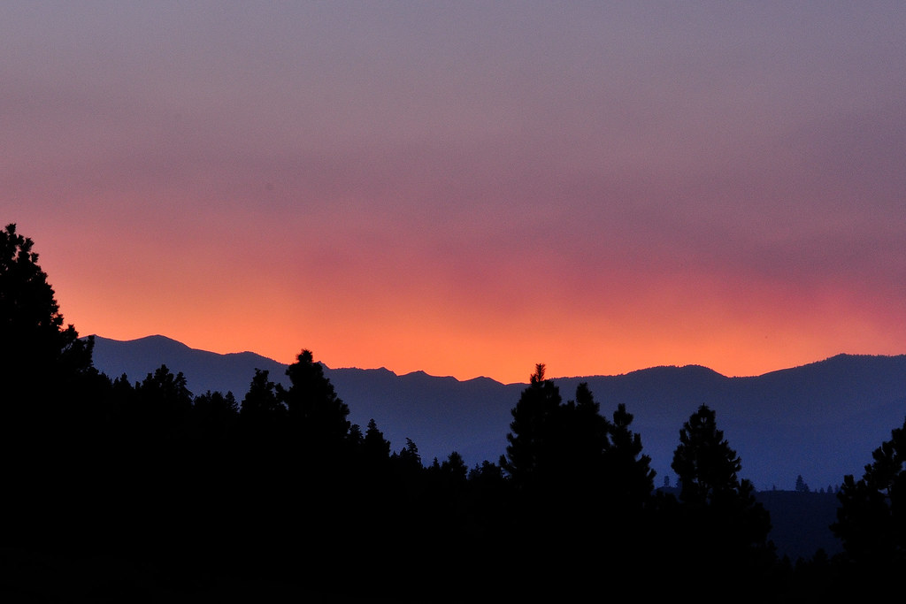
Smoky Gradient

The mess tent, 5 a.m.
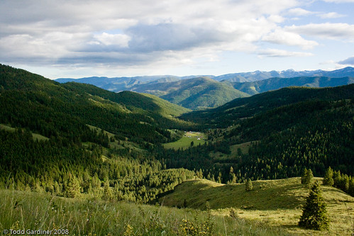
Wide view of Skatitude

View from Route 20 east of Twisp
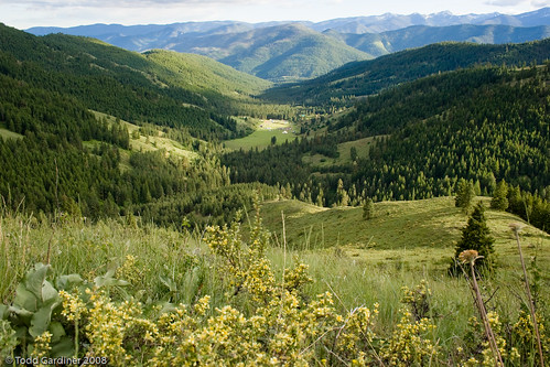
Long view
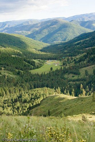
Valley view
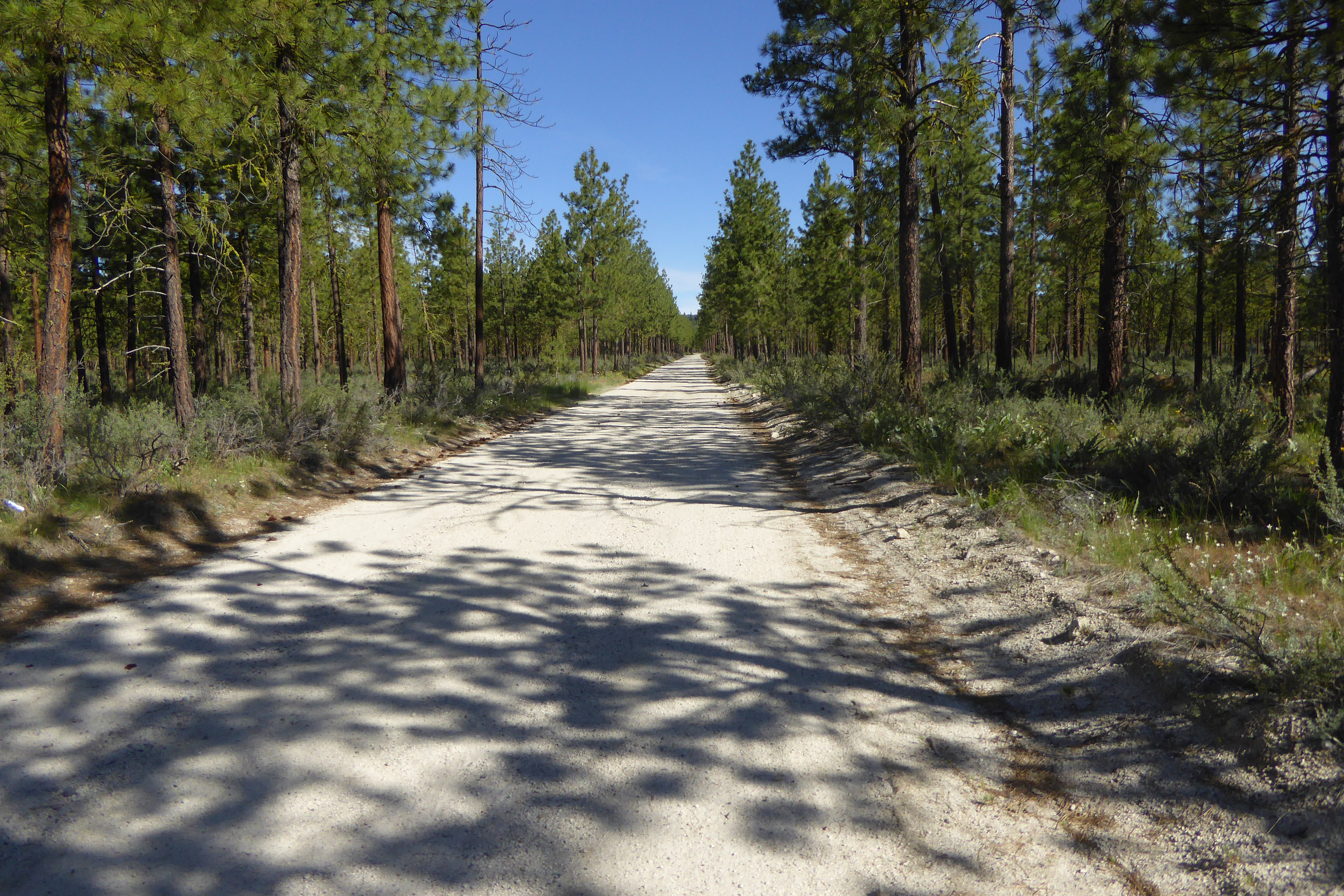
FS road 41_06122016
Lyall's mariposa lily (Calochortus lyallii), FS road 41_2_06122016

Mike's Catch of the Day

Central Washington

Welcome to Carlton
Climbing Out of the Methow Valley
Troubled bridge over water
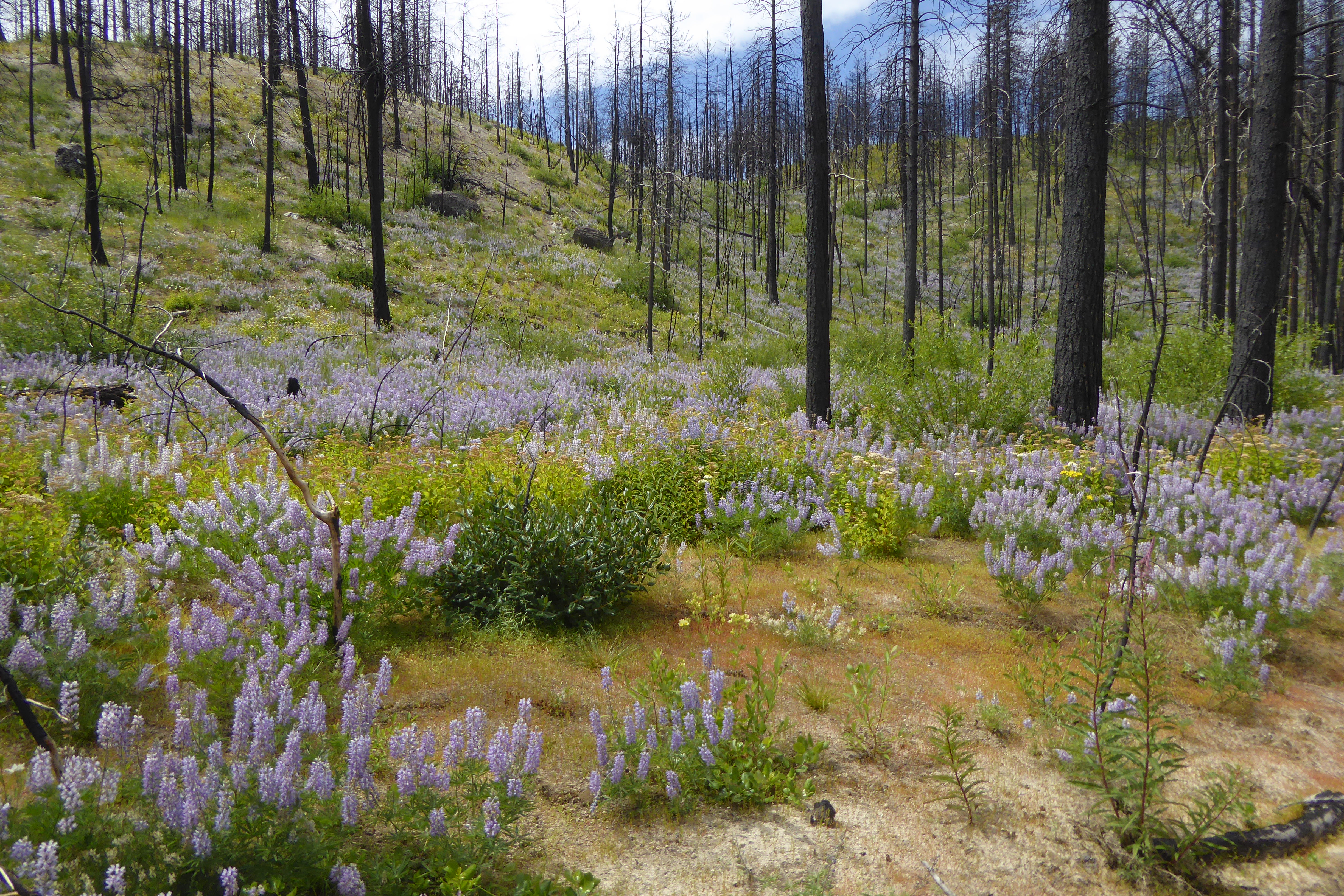
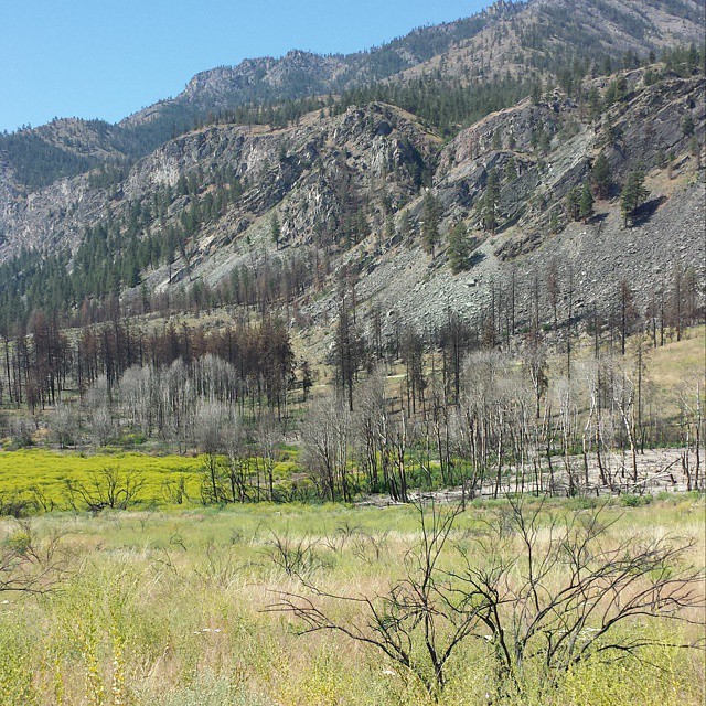
burned forest from 2014 fire along FS road 41_3_06122016
empty road north of Brewster, WA_06122016
One year after the Carlton Complex #fire. Largest forest fire in state history.
_DSC1840.jpg

20141014_084804(0)
Mapa de Texas Creek Rd, Carlton, WA, EE. UU.
Buscar otro lugar
Lugares cercanos
54 Sanctuary Ln, Carlton, WA, EE. UU.
Texas Creek Rd, Carlton, WA, EE. UU.
French Creek Road, French Creek Rd, Methow, WA, EE. UU.
Methow, Washington, EE. UU.
42 Old Carlton Rd, Carlton, WA, EE. UU.
Carlton, WA, EE. UU.
Carlton RV Park, WA-, Carlton, WA, EE. UU.
Smith Canyon Rd, Carlton, WA, EE. UU.
Washington 20, WA-20, Washington, EE. UU.
Twisp, Washington, EE. UU.
Pipestone Canyon Ranch, Balky Hill Rd, Twisp, WA, EE. UU.
Pateros, Washington, EE. UU.
Alta Lake State Park, Washington, EE. UU.
Cooper Mountain Road, Cooper Mountain Rd, Washington, EE. UU.
14 Kamsak Rd, Brewster, WA, EE. UU.
Kamsak Road, Kamsak Rd, Washington, EE. UU.
17 Kamsak Rd, Brewster, WA, EE. UU.
Fox Peak, Washington, EE. UU.
NAPA Auto Parts - Hamilton Farm Equipment Center, West Main Street, Brewster, WA, EE. UU.
Griggs Ave E, Brewster, WA, EE. UU.
Búsquedas recientes
- Horas de salida y puesta de sol de Red Dog Mine, AK, USA
- Horas de salida y puesta de sol de Am Bahnhof, Am bhf, Borken, Germany
- Horas de salida y puesta de sol de 4th St E, Sonoma, CA, EE. UU.
- Horas de salida y puesta de sol de Oakland Ave, Williamsport, PA, EE. UU.
- Horas de salida y puesta de sol de Via Roma, Pieranica CR, Italia
- Horas de salida y puesta de sol de Torre del reloj, Grad, Dubrovnik (Ragusa), Croacia
- Horas de salida y puesta de sol de Trelew, Chubut, Argentina
- Horas de salida y puesta de sol de Hartfords Bluff Cir, Mt Pleasant, SC, EE. UU.
- Horas de salida y puesta de sol de Kita Ward, Kumamoto, Japón
- Horas de salida y puesta de sol de Pingtan Island, Pingtan County, Fuzhou, China