Horas de salida y puesta de sol de Soares Dairy Farms Inc, Badger Flat Rd, Los Banos, CA, EE. UU.
Location: Estados Unidos > California > Condado de Merced > Los Baños >
Zona horaria:
America/Los_Angeles
Hora local:
2025-06-25 19:36:38
Longitud:
-120.8776439
Latitud:
37.0960396
Salida de sol de hoy:
05:45:34 AM
Puesta de sol de hoy:
08:27:33 PM
La duración del día hoy:
14h 41m 59s
Salida de sol de mañana:
05:45:57 AM
Puesta de sol de mañana:
08:27:35 PM
La duración del día mañana:
14h 41m 38s
Mostrar todas las fechas
| Fecha | Salida de sol | Puesta de sol | Duración del día |
|---|---|---|---|
| 01/01/2025 | 07:17:09 AM | 04:58:19 PM | 9h 41m 10s |
| 02/01/2025 | 07:17:15 AM | 04:59:08 PM | 9h 41m 53s |
| 03/01/2025 | 07:17:19 AM | 04:59:59 PM | 9h 42m 40s |
| 04/01/2025 | 07:17:20 AM | 05:00:51 PM | 9h 43m 31s |
| 05/01/2025 | 07:17:20 AM | 05:01:44 PM | 9h 44m 24s |
| 06/01/2025 | 07:17:17 AM | 05:02:38 PM | 9h 45m 21s |
| 07/01/2025 | 07:17:12 AM | 05:03:33 PM | 9h 46m 21s |
| 08/01/2025 | 07:17:06 AM | 05:04:29 PM | 9h 47m 23s |
| 09/01/2025 | 07:16:57 AM | 05:05:26 PM | 9h 48m 29s |
| 10/01/2025 | 07:16:47 AM | 05:06:24 PM | 9h 49m 37s |
| 11/01/2025 | 07:16:34 AM | 05:07:22 PM | 9h 50m 48s |
| 12/01/2025 | 07:16:19 AM | 05:08:22 PM | 9h 52m 3s |
| 13/01/2025 | 07:16:02 AM | 05:09:22 PM | 9h 53m 20s |
| 14/01/2025 | 07:15:44 AM | 05:10:23 PM | 9h 54m 39s |
| 15/01/2025 | 07:15:23 AM | 05:11:24 PM | 9h 56m 1s |
| 16/01/2025 | 07:15:00 AM | 05:12:26 PM | 9h 57m 26s |
| 17/01/2025 | 07:14:36 AM | 05:13:29 PM | 9h 58m 53s |
| 18/01/2025 | 07:14:09 AM | 05:14:32 PM | 10h 0m 23s |
| 19/01/2025 | 07:13:41 AM | 05:15:35 PM | 10h 1m 54s |
| 20/01/2025 | 07:13:10 AM | 05:16:39 PM | 10h 3m 29s |
| 21/01/2025 | 07:12:38 AM | 05:17:43 PM | 10h 5m 5s |
| 22/01/2025 | 07:12:04 AM | 05:18:48 PM | 10h 6m 44s |
| 23/01/2025 | 07:11:28 AM | 05:19:53 PM | 10h 8m 25s |
| 24/01/2025 | 07:10:50 AM | 05:20:57 PM | 10h 10m 7s |
| 25/01/2025 | 07:10:11 AM | 05:22:03 PM | 10h 11m 52s |
| 26/01/2025 | 07:09:30 AM | 05:23:08 PM | 10h 13m 38s |
| 27/01/2025 | 07:08:47 AM | 05:24:13 PM | 10h 15m 26s |
| 28/01/2025 | 07:08:02 AM | 05:25:19 PM | 10h 17m 17s |
| 29/01/2025 | 07:07:16 AM | 05:26:24 PM | 10h 19m 8s |
| 30/01/2025 | 07:06:28 AM | 05:27:30 PM | 10h 21m 2s |
| 31/01/2025 | 07:05:38 AM | 05:28:35 PM | 10h 22m 57s |
| 01/02/2025 | 07:04:47 AM | 05:29:41 PM | 10h 24m 54s |
| 02/02/2025 | 07:03:54 AM | 05:30:46 PM | 10h 26m 52s |
| 03/02/2025 | 07:03:00 AM | 05:31:52 PM | 10h 28m 52s |
| 04/02/2025 | 07:02:04 AM | 05:32:57 PM | 10h 30m 53s |
| 05/02/2025 | 07:01:07 AM | 05:34:02 PM | 10h 32m 55s |
| 06/02/2025 | 07:00:08 AM | 05:35:07 PM | 10h 34m 59s |
| 07/02/2025 | 06:59:08 AM | 05:36:11 PM | 10h 37m 3s |
| 08/02/2025 | 06:58:06 AM | 05:37:16 PM | 10h 39m 10s |
| 09/02/2025 | 06:57:04 AM | 05:38:20 PM | 10h 41m 16s |
| 10/02/2025 | 06:56:00 AM | 05:39:24 PM | 10h 43m 24s |
| 11/02/2025 | 06:54:54 AM | 05:40:28 PM | 10h 45m 34s |
| 12/02/2025 | 06:53:48 AM | 05:41:31 PM | 10h 47m 43s |
| 13/02/2025 | 06:52:40 AM | 05:42:35 PM | 10h 49m 55s |
| 14/02/2025 | 06:51:31 AM | 05:43:38 PM | 10h 52m 7s |
| 15/02/2025 | 06:50:21 AM | 05:44:40 PM | 10h 54m 19s |
| 16/02/2025 | 06:49:10 AM | 05:45:43 PM | 10h 56m 33s |
| 17/02/2025 | 06:47:57 AM | 05:46:45 PM | 10h 58m 48s |
| 18/02/2025 | 06:46:44 AM | 05:47:46 PM | 11h 1m 2s |
| 19/02/2025 | 06:45:30 AM | 05:48:48 PM | 11h 3m 18s |
| 20/02/2025 | 06:44:14 AM | 05:49:49 PM | 11h 5m 35s |
| 21/02/2025 | 06:42:58 AM | 05:50:50 PM | 11h 7m 52s |
| 22/02/2025 | 06:41:41 AM | 05:51:50 PM | 11h 10m 9s |
| 23/02/2025 | 06:40:23 AM | 05:52:50 PM | 11h 12m 27s |
| 24/02/2025 | 06:39:04 AM | 05:53:50 PM | 11h 14m 46s |
| 25/02/2025 | 06:37:45 AM | 05:54:50 PM | 11h 17m 5s |
| 26/02/2025 | 06:36:24 AM | 05:55:49 PM | 11h 19m 25s |
| 27/02/2025 | 06:35:03 AM | 05:56:48 PM | 11h 21m 45s |
| 28/02/2025 | 06:33:41 AM | 05:57:46 PM | 11h 24m 5s |
| 01/03/2025 | 06:32:19 AM | 05:58:45 PM | 11h 26m 26s |
| 02/03/2025 | 06:30:55 AM | 05:59:43 PM | 11h 28m 48s |
| 03/03/2025 | 06:29:32 AM | 06:00:40 PM | 11h 31m 8s |
| 04/03/2025 | 06:28:07 AM | 06:01:37 PM | 11h 33m 30s |
| 05/03/2025 | 06:26:42 AM | 06:02:35 PM | 11h 35m 53s |
| 06/03/2025 | 06:25:17 AM | 06:03:31 PM | 11h 38m 14s |
| 07/03/2025 | 06:23:51 AM | 06:04:28 PM | 11h 40m 37s |
| 08/03/2025 | 06:22:24 AM | 06:05:24 PM | 11h 43m 0s |
| 09/03/2025 | 07:21:01 AM | 07:06:18 PM | 11h 45m 17s |
| 10/03/2025 | 07:19:34 AM | 07:07:13 PM | 11h 47m 39s |
| 11/03/2025 | 07:18:06 AM | 07:08:09 PM | 11h 50m 3s |
| 12/03/2025 | 07:16:38 AM | 07:09:04 PM | 11h 52m 26s |
| 13/03/2025 | 07:15:10 AM | 07:09:59 PM | 11h 54m 49s |
| 14/03/2025 | 07:13:42 AM | 07:10:54 PM | 11h 57m 12s |
| 15/03/2025 | 07:12:13 AM | 07:11:49 PM | 11h 59m 36s |
| 16/03/2025 | 07:10:44 AM | 07:12:43 PM | 12h 1m 59s |
| 17/03/2025 | 07:09:15 AM | 07:13:38 PM | 12h 4m 23s |
| 18/03/2025 | 07:07:45 AM | 07:14:32 PM | 12h 6m 47s |
| 19/03/2025 | 07:06:16 AM | 07:15:26 PM | 12h 9m 10s |
| 20/03/2025 | 07:04:46 AM | 07:16:20 PM | 12h 11m 34s |
| 21/03/2025 | 07:03:17 AM | 07:17:14 PM | 12h 13m 57s |
| 22/03/2025 | 07:01:47 AM | 07:18:07 PM | 12h 16m 20s |
| 23/03/2025 | 07:00:18 AM | 07:19:01 PM | 12h 18m 43s |
| 24/03/2025 | 06:58:48 AM | 07:19:54 PM | 12h 21m 6s |
| 25/03/2025 | 06:57:18 AM | 07:20:47 PM | 12h 23m 29s |
| 26/03/2025 | 06:55:49 AM | 07:21:41 PM | 12h 25m 52s |
| 27/03/2025 | 06:54:20 AM | 07:22:34 PM | 12h 28m 14s |
| 28/03/2025 | 06:52:50 AM | 07:23:27 PM | 12h 30m 37s |
| 29/03/2025 | 06:51:21 AM | 07:24:20 PM | 12h 32m 59s |
| 30/03/2025 | 06:49:53 AM | 07:25:13 PM | 12h 35m 20s |
| 31/03/2025 | 06:48:24 AM | 07:26:06 PM | 12h 37m 42s |
| 01/04/2025 | 06:46:56 AM | 07:26:59 PM | 12h 40m 3s |
| 02/04/2025 | 06:45:28 AM | 07:27:52 PM | 12h 42m 24s |
| 03/04/2025 | 06:44:00 AM | 07:28:45 PM | 12h 44m 45s |
| 04/04/2025 | 06:42:33 AM | 07:29:38 PM | 12h 47m 5s |
| 05/04/2025 | 06:41:06 AM | 07:30:31 PM | 12h 49m 25s |
| 06/04/2025 | 06:39:39 AM | 07:31:24 PM | 12h 51m 45s |
| 07/04/2025 | 06:38:13 AM | 07:32:17 PM | 12h 54m 4s |
| 08/04/2025 | 06:36:47 AM | 07:33:10 PM | 12h 56m 23s |
| 09/04/2025 | 06:35:22 AM | 07:34:03 PM | 12h 58m 41s |
| 10/04/2025 | 06:33:57 AM | 07:34:56 PM | 13h 0m 59s |
| 11/04/2025 | 06:32:33 AM | 07:35:49 PM | 13h 3m 16s |
| 12/04/2025 | 06:31:10 AM | 07:36:43 PM | 13h 5m 33s |
| 13/04/2025 | 06:29:47 AM | 07:37:36 PM | 13h 7m 49s |
| 14/04/2025 | 06:28:25 AM | 07:38:29 PM | 13h 10m 4s |
| 15/04/2025 | 06:27:03 AM | 07:39:22 PM | 13h 12m 19s |
| 16/04/2025 | 06:25:42 AM | 07:40:16 PM | 13h 14m 34s |
| 17/04/2025 | 06:24:22 AM | 07:41:09 PM | 13h 16m 47s |
| 18/04/2025 | 06:23:03 AM | 07:42:03 PM | 13h 19m 0s |
| 19/04/2025 | 06:21:44 AM | 07:42:56 PM | 13h 21m 12s |
| 20/04/2025 | 06:20:27 AM | 07:43:50 PM | 13h 23m 23s |
| 21/04/2025 | 06:19:10 AM | 07:44:43 PM | 13h 25m 33s |
| 22/04/2025 | 06:17:54 AM | 07:45:37 PM | 13h 27m 43s |
| 23/04/2025 | 06:16:39 AM | 07:46:31 PM | 13h 29m 52s |
| 24/04/2025 | 06:15:25 AM | 07:47:24 PM | 13h 31m 59s |
| 25/04/2025 | 06:14:12 AM | 07:48:18 PM | 13h 34m 6s |
| 26/04/2025 | 06:12:59 AM | 07:49:12 PM | 13h 36m 13s |
| 27/04/2025 | 06:11:48 AM | 07:50:05 PM | 13h 38m 17s |
| 28/04/2025 | 06:10:38 AM | 07:50:59 PM | 13h 40m 21s |
| 29/04/2025 | 06:09:29 AM | 07:51:52 PM | 13h 42m 23s |
| 30/04/2025 | 06:08:22 AM | 07:52:46 PM | 13h 44m 24s |
| 01/05/2025 | 06:07:15 AM | 07:53:39 PM | 13h 46m 24s |
| 02/05/2025 | 06:06:09 AM | 07:54:33 PM | 13h 48m 24s |
| 03/05/2025 | 06:05:05 AM | 07:55:26 PM | 13h 50m 21s |
| 04/05/2025 | 06:04:02 AM | 07:56:19 PM | 13h 52m 17s |
| 05/05/2025 | 06:03:00 AM | 07:57:12 PM | 13h 54m 12s |
| 06/05/2025 | 06:02:00 AM | 07:58:05 PM | 13h 56m 5s |
| 07/05/2025 | 06:01:01 AM | 07:58:58 PM | 13h 57m 57s |
| 08/05/2025 | 06:00:03 AM | 07:59:50 PM | 13h 59m 47s |
| 09/05/2025 | 05:59:06 AM | 08:00:43 PM | 14h 1m 37s |
| 10/05/2025 | 05:58:11 AM | 08:01:35 PM | 14h 3m 24s |
| 11/05/2025 | 05:57:17 AM | 08:02:26 PM | 14h 5m 9s |
| 12/05/2025 | 05:56:25 AM | 08:03:18 PM | 14h 6m 53s |
| 13/05/2025 | 05:55:35 AM | 08:04:09 PM | 14h 8m 34s |
| 14/05/2025 | 05:54:45 AM | 08:05:00 PM | 14h 10m 15s |
| 15/05/2025 | 05:53:57 AM | 08:05:50 PM | 14h 11m 53s |
| 16/05/2025 | 05:53:11 AM | 08:06:40 PM | 14h 13m 29s |
| 17/05/2025 | 05:52:27 AM | 08:07:29 PM | 14h 15m 2s |
| 18/05/2025 | 05:51:43 AM | 08:08:19 PM | 14h 16m 36s |
| 19/05/2025 | 05:51:02 AM | 08:09:07 PM | 14h 18m 5s |
| 20/05/2025 | 05:50:22 AM | 08:09:55 PM | 14h 19m 33s |
| 21/05/2025 | 05:49:44 AM | 08:10:42 PM | 14h 20m 58s |
| 22/05/2025 | 05:49:07 AM | 08:11:29 PM | 14h 22m 22s |
| 23/05/2025 | 05:48:32 AM | 08:12:15 PM | 14h 23m 43s |
| 24/05/2025 | 05:47:59 AM | 08:13:01 PM | 14h 25m 2s |
| 25/05/2025 | 05:47:28 AM | 08:13:45 PM | 14h 26m 17s |
| 26/05/2025 | 05:46:58 AM | 08:14:29 PM | 14h 27m 31s |
| 27/05/2025 | 05:46:30 AM | 08:15:13 PM | 14h 28m 43s |
| 28/05/2025 | 05:46:03 AM | 08:15:55 PM | 14h 29m 52s |
| 29/05/2025 | 05:45:39 AM | 08:16:36 PM | 14h 30m 57s |
| 30/05/2025 | 05:45:16 AM | 08:17:17 PM | 14h 32m 1s |
| 31/05/2025 | 05:44:55 AM | 08:17:56 PM | 14h 33m 1s |
| 01/06/2025 | 05:44:35 AM | 08:18:35 PM | 14h 34m 0s |
| 02/06/2025 | 05:44:18 AM | 08:19:13 PM | 14h 34m 55s |
| 03/06/2025 | 05:44:02 AM | 08:19:49 PM | 14h 35m 47s |
| 04/06/2025 | 05:43:48 AM | 08:20:24 PM | 14h 36m 36s |
| 05/06/2025 | 05:43:35 AM | 08:20:59 PM | 14h 37m 24s |
| 06/06/2025 | 05:43:25 AM | 08:21:32 PM | 14h 38m 7s |
| 07/06/2025 | 05:43:16 AM | 08:22:04 PM | 14h 38m 48s |
| 08/06/2025 | 05:43:09 AM | 08:22:34 PM | 14h 39m 25s |
| 09/06/2025 | 05:43:04 AM | 08:23:03 PM | 14h 39m 59s |
| 10/06/2025 | 05:43:00 AM | 08:23:31 PM | 14h 40m 31s |
| 11/06/2025 | 05:42:58 AM | 08:23:58 PM | 14h 41m 0s |
| 12/06/2025 | 05:42:58 AM | 08:24:23 PM | 14h 41m 25s |
| 13/06/2025 | 05:43:00 AM | 08:24:47 PM | 14h 41m 47s |
| 14/06/2025 | 05:43:03 AM | 08:25:09 PM | 14h 42m 6s |
| 15/06/2025 | 05:43:08 AM | 08:25:30 PM | 14h 42m 22s |
| 16/06/2025 | 05:43:15 AM | 08:25:50 PM | 14h 42m 35s |
| 17/06/2025 | 05:43:23 AM | 08:26:07 PM | 14h 42m 44s |
| 18/06/2025 | 05:43:33 AM | 08:26:24 PM | 14h 42m 51s |
| 19/06/2025 | 05:43:45 AM | 08:26:38 PM | 14h 42m 53s |
| 20/06/2025 | 05:43:58 AM | 08:26:51 PM | 14h 42m 53s |
| 21/06/2025 | 05:44:12 AM | 08:27:03 PM | 14h 42m 51s |
| 22/06/2025 | 05:44:29 AM | 08:27:12 PM | 14h 42m 43s |
| 23/06/2025 | 05:44:46 AM | 08:27:20 PM | 14h 42m 34s |
| 24/06/2025 | 05:45:05 AM | 08:27:27 PM | 14h 42m 22s |
| 25/06/2025 | 05:45:26 AM | 08:27:31 PM | 14h 42m 5s |
| 26/06/2025 | 05:45:48 AM | 08:27:34 PM | 14h 41m 46s |
| 27/06/2025 | 05:46:11 AM | 08:27:35 PM | 14h 41m 24s |
| 28/06/2025 | 05:46:36 AM | 08:27:35 PM | 14h 40m 59s |
| 29/06/2025 | 05:47:02 AM | 08:27:32 PM | 14h 40m 30s |
| 30/06/2025 | 05:47:30 AM | 08:27:28 PM | 14h 39m 58s |
| 01/07/2025 | 05:47:58 AM | 08:27:22 PM | 14h 39m 24s |
| 02/07/2025 | 05:48:28 AM | 08:27:14 PM | 14h 38m 46s |
| 03/07/2025 | 05:48:59 AM | 08:27:05 PM | 14h 38m 6s |
| 04/07/2025 | 05:49:31 AM | 08:26:53 PM | 14h 37m 22s |
| 05/07/2025 | 05:50:04 AM | 08:26:40 PM | 14h 36m 36s |
| 06/07/2025 | 05:50:39 AM | 08:26:25 PM | 14h 35m 46s |
| 07/07/2025 | 05:51:14 AM | 08:26:08 PM | 14h 34m 54s |
| 08/07/2025 | 05:51:50 AM | 08:25:49 PM | 14h 33m 59s |
| 09/07/2025 | 05:52:28 AM | 08:25:29 PM | 14h 33m 1s |
| 10/07/2025 | 05:53:06 AM | 08:25:07 PM | 14h 32m 1s |
| 11/07/2025 | 05:53:45 AM | 08:24:43 PM | 14h 30m 58s |
| 12/07/2025 | 05:54:25 AM | 08:24:17 PM | 14h 29m 52s |
| 13/07/2025 | 05:55:05 AM | 08:23:49 PM | 14h 28m 44s |
| 14/07/2025 | 05:55:47 AM | 08:23:20 PM | 14h 27m 33s |
| 15/07/2025 | 05:56:29 AM | 08:22:49 PM | 14h 26m 20s |
| 16/07/2025 | 05:57:12 AM | 08:22:16 PM | 14h 25m 4s |
| 17/07/2025 | 05:57:55 AM | 08:21:41 PM | 14h 23m 46s |
| 18/07/2025 | 05:58:39 AM | 08:21:05 PM | 14h 22m 26s |
| 19/07/2025 | 05:59:24 AM | 08:20:27 PM | 14h 21m 3s |
| 20/07/2025 | 06:00:09 AM | 08:19:48 PM | 14h 19m 39s |
| 21/07/2025 | 06:00:55 AM | 08:19:06 PM | 14h 18m 11s |
| 22/07/2025 | 06:01:41 AM | 08:18:23 PM | 14h 16m 42s |
| 23/07/2025 | 06:02:28 AM | 08:17:39 PM | 14h 15m 11s |
| 24/07/2025 | 06:03:15 AM | 08:16:53 PM | 14h 13m 38s |
| 25/07/2025 | 06:04:03 AM | 08:16:05 PM | 14h 12m 2s |
| 26/07/2025 | 06:04:50 AM | 08:15:16 PM | 14h 10m 26s |
| 27/07/2025 | 06:05:38 AM | 08:14:25 PM | 14h 8m 47s |
| 28/07/2025 | 06:06:27 AM | 08:13:33 PM | 14h 7m 6s |
| 29/07/2025 | 06:07:16 AM | 08:12:39 PM | 14h 5m 23s |
| 30/07/2025 | 06:08:05 AM | 08:11:44 PM | 14h 3m 39s |
| 31/07/2025 | 06:08:54 AM | 08:10:47 PM | 14h 1m 53s |
| 01/08/2025 | 06:09:43 AM | 08:09:49 PM | 14h 0m 6s |
| 02/08/2025 | 06:10:33 AM | 08:08:50 PM | 13h 58m 17s |
| 03/08/2025 | 06:11:22 AM | 08:07:49 PM | 13h 56m 27s |
| 04/08/2025 | 06:12:12 AM | 08:06:47 PM | 13h 54m 35s |
| 05/08/2025 | 06:13:02 AM | 08:05:43 PM | 13h 52m 41s |
| 06/08/2025 | 06:13:52 AM | 08:04:38 PM | 13h 50m 46s |
| 07/08/2025 | 06:14:42 AM | 08:03:33 PM | 13h 48m 51s |
| 08/08/2025 | 06:15:32 AM | 08:02:25 PM | 13h 46m 53s |
| 09/08/2025 | 06:16:22 AM | 08:01:17 PM | 13h 44m 55s |
| 10/08/2025 | 06:17:12 AM | 08:00:08 PM | 13h 42m 56s |
| 11/08/2025 | 06:18:02 AM | 07:58:57 PM | 13h 40m 55s |
| 12/08/2025 | 06:18:52 AM | 07:57:45 PM | 13h 38m 53s |
| 13/08/2025 | 06:19:42 AM | 07:56:32 PM | 13h 36m 50s |
| 14/08/2025 | 06:20:33 AM | 07:55:19 PM | 13h 34m 46s |
| 15/08/2025 | 06:21:23 AM | 07:54:04 PM | 13h 32m 41s |
| 16/08/2025 | 06:22:13 AM | 07:52:48 PM | 13h 30m 35s |
| 17/08/2025 | 06:23:03 AM | 07:51:31 PM | 13h 28m 28s |
| 18/08/2025 | 06:23:52 AM | 07:50:13 PM | 13h 26m 21s |
| 19/08/2025 | 06:24:42 AM | 07:48:55 PM | 13h 24m 13s |
| 20/08/2025 | 06:25:32 AM | 07:47:35 PM | 13h 22m 3s |
| 21/08/2025 | 06:26:22 AM | 07:46:15 PM | 13h 19m 53s |
| 22/08/2025 | 06:27:11 AM | 07:44:54 PM | 13h 17m 43s |
| 23/08/2025 | 06:28:01 AM | 07:43:32 PM | 13h 15m 31s |
| 24/08/2025 | 06:28:50 AM | 07:42:09 PM | 13h 13m 19s |
| 25/08/2025 | 06:29:40 AM | 07:40:46 PM | 13h 11m 6s |
| 26/08/2025 | 06:30:29 AM | 07:39:22 PM | 13h 8m 53s |
| 27/08/2025 | 06:31:18 AM | 07:37:57 PM | 13h 6m 39s |
| 28/08/2025 | 06:32:07 AM | 07:36:32 PM | 13h 4m 25s |
| 29/08/2025 | 06:32:56 AM | 07:35:06 PM | 13h 2m 10s |
| 30/08/2025 | 06:33:45 AM | 07:33:39 PM | 12h 59m 54s |
| 31/08/2025 | 06:34:34 AM | 07:32:12 PM | 12h 57m 38s |
| 01/09/2025 | 06:35:23 AM | 07:30:45 PM | 12h 55m 22s |
| 02/09/2025 | 06:36:12 AM | 07:29:17 PM | 12h 53m 5s |
| 03/09/2025 | 06:37:01 AM | 07:27:48 PM | 12h 50m 47s |
| 04/09/2025 | 06:37:49 AM | 07:26:19 PM | 12h 48m 30s |
| 05/09/2025 | 06:38:38 AM | 07:24:50 PM | 12h 46m 12s |
| 06/09/2025 | 06:39:27 AM | 07:23:20 PM | 12h 43m 53s |
| 07/09/2025 | 06:40:15 AM | 07:21:50 PM | 12h 41m 35s |
| 08/09/2025 | 06:41:04 AM | 07:20:20 PM | 12h 39m 16s |
| 09/09/2025 | 06:41:53 AM | 07:18:49 PM | 12h 36m 56s |
| 10/09/2025 | 06:42:41 AM | 07:17:18 PM | 12h 34m 37s |
| 11/09/2025 | 06:43:30 AM | 07:15:47 PM | 12h 32m 17s |
| 12/09/2025 | 06:44:19 AM | 07:14:16 PM | 12h 29m 57s |
| 13/09/2025 | 06:45:07 AM | 07:12:44 PM | 12h 27m 37s |
| 14/09/2025 | 06:45:56 AM | 07:11:13 PM | 12h 25m 17s |
| 15/09/2025 | 06:46:45 AM | 07:09:41 PM | 12h 22m 56s |
| 16/09/2025 | 06:47:34 AM | 07:08:09 PM | 12h 20m 35s |
| 17/09/2025 | 06:48:23 AM | 07:06:37 PM | 12h 18m 14s |
| 18/09/2025 | 06:49:12 AM | 07:05:05 PM | 12h 15m 53s |
| 19/09/2025 | 06:50:01 AM | 07:03:34 PM | 12h 13m 33s |
| 20/09/2025 | 06:50:51 AM | 07:02:02 PM | 12h 11m 11s |
| 21/09/2025 | 06:51:40 AM | 07:00:30 PM | 12h 8m 50s |
| 22/09/2025 | 06:52:30 AM | 06:58:58 PM | 12h 6m 28s |
| 23/09/2025 | 06:53:19 AM | 06:57:27 PM | 12h 4m 8s |
| 24/09/2025 | 06:54:09 AM | 06:55:55 PM | 12h 1m 46s |
| 25/09/2025 | 06:54:59 AM | 06:54:24 PM | 11h 59m 25s |
| 26/09/2025 | 06:55:49 AM | 06:52:53 PM | 11h 57m 4s |
| 27/09/2025 | 06:56:40 AM | 06:51:22 PM | 11h 54m 42s |
| 28/09/2025 | 06:57:30 AM | 06:49:52 PM | 11h 52m 22s |
| 29/09/2025 | 06:58:21 AM | 06:48:22 PM | 11h 50m 1s |
| 30/09/2025 | 06:59:12 AM | 06:46:52 PM | 11h 47m 40s |
| 01/10/2025 | 07:00:04 AM | 06:45:22 PM | 11h 45m 18s |
| 02/10/2025 | 07:00:55 AM | 06:43:53 PM | 11h 42m 58s |
| 03/10/2025 | 07:01:47 AM | 06:42:25 PM | 11h 40m 38s |
| 04/10/2025 | 07:02:39 AM | 06:40:56 PM | 11h 38m 17s |
| 05/10/2025 | 07:03:32 AM | 06:39:29 PM | 11h 35m 57s |
| 06/10/2025 | 07:04:24 AM | 06:38:01 PM | 11h 33m 37s |
| 07/10/2025 | 07:05:17 AM | 06:36:35 PM | 11h 31m 18s |
| 08/10/2025 | 07:06:11 AM | 06:35:09 PM | 11h 28m 58s |
| 09/10/2025 | 07:07:04 AM | 06:33:43 PM | 11h 26m 39s |
| 10/10/2025 | 07:07:58 AM | 06:32:18 PM | 11h 24m 20s |
| 11/10/2025 | 07:08:52 AM | 06:30:54 PM | 11h 22m 2s |
| 12/10/2025 | 07:09:47 AM | 06:29:31 PM | 11h 19m 44s |
| 13/10/2025 | 07:10:42 AM | 06:28:08 PM | 11h 17m 26s |
| 14/10/2025 | 07:11:37 AM | 06:26:46 PM | 11h 15m 9s |
| 15/10/2025 | 07:12:33 AM | 06:25:25 PM | 11h 12m 52s |
| 16/10/2025 | 07:13:29 AM | 06:24:04 PM | 11h 10m 35s |
| 17/10/2025 | 07:14:25 AM | 06:22:45 PM | 11h 8m 20s |
| 18/10/2025 | 07:15:22 AM | 06:21:26 PM | 11h 6m 4s |
| 19/10/2025 | 07:16:19 AM | 06:20:08 PM | 11h 3m 49s |
| 20/10/2025 | 07:17:16 AM | 06:18:52 PM | 11h 1m 36s |
| 21/10/2025 | 07:18:14 AM | 06:17:36 PM | 10h 59m 22s |
| 22/10/2025 | 07:19:12 AM | 06:16:21 PM | 10h 57m 9s |
| 23/10/2025 | 07:20:10 AM | 06:15:08 PM | 10h 54m 58s |
| 24/10/2025 | 07:21:09 AM | 06:13:55 PM | 10h 52m 46s |
| 25/10/2025 | 07:22:08 AM | 06:12:44 PM | 10h 50m 36s |
| 26/10/2025 | 07:23:07 AM | 06:11:33 PM | 10h 48m 26s |
| 27/10/2025 | 07:24:07 AM | 06:10:24 PM | 10h 46m 17s |
| 28/10/2025 | 07:25:07 AM | 06:09:16 PM | 10h 44m 9s |
| 29/10/2025 | 07:26:07 AM | 06:08:10 PM | 10h 42m 3s |
| 30/10/2025 | 07:27:08 AM | 06:07:04 PM | 10h 39m 56s |
| 31/10/2025 | 07:28:09 AM | 06:06:00 PM | 10h 37m 51s |
| 01/11/2025 | 07:29:10 AM | 06:04:58 PM | 10h 35m 48s |
| 02/11/2025 | 06:30:14 AM | 05:03:54 PM | 10h 33m 40s |
| 03/11/2025 | 06:31:15 AM | 05:02:54 PM | 10h 31m 39s |
| 04/11/2025 | 06:32:17 AM | 05:01:56 PM | 10h 29m 39s |
| 05/11/2025 | 06:33:19 AM | 05:00:59 PM | 10h 27m 40s |
| 06/11/2025 | 06:34:21 AM | 05:00:03 PM | 10h 25m 42s |
| 07/11/2025 | 06:35:23 AM | 04:59:10 PM | 10h 23m 47s |
| 08/11/2025 | 06:36:26 AM | 04:58:17 PM | 10h 21m 51s |
| 09/11/2025 | 06:37:28 AM | 04:57:27 PM | 10h 19m 59s |
| 10/11/2025 | 06:38:31 AM | 04:56:38 PM | 10h 18m 7s |
| 11/11/2025 | 06:39:33 AM | 04:55:50 PM | 10h 16m 17s |
| 12/11/2025 | 06:40:36 AM | 04:55:05 PM | 10h 14m 29s |
| 13/11/2025 | 06:41:38 AM | 04:54:21 PM | 10h 12m 43s |
| 14/11/2025 | 06:42:41 AM | 04:53:39 PM | 10h 10m 58s |
| 15/11/2025 | 06:43:43 AM | 04:52:58 PM | 10h 9m 15s |
| 16/11/2025 | 06:44:45 AM | 04:52:20 PM | 10h 7m 35s |
| 17/11/2025 | 06:45:47 AM | 04:51:43 PM | 10h 5m 56s |
| 18/11/2025 | 06:46:49 AM | 04:51:08 PM | 10h 4m 19s |
| 19/11/2025 | 06:47:51 AM | 04:50:35 PM | 10h 2m 44s |
| 20/11/2025 | 06:48:52 AM | 04:50:04 PM | 10h 1m 12s |
| 21/11/2025 | 06:49:53 AM | 04:49:35 PM | 9h 59m 42s |
| 22/11/2025 | 06:50:54 AM | 04:49:08 PM | 9h 58m 14s |
| 23/11/2025 | 06:51:54 AM | 04:48:42 PM | 9h 56m 48s |
| 24/11/2025 | 06:52:54 AM | 04:48:19 PM | 9h 55m 25s |
| 25/11/2025 | 06:53:53 AM | 04:47:58 PM | 9h 54m 5s |
| 26/11/2025 | 06:54:51 AM | 04:47:39 PM | 9h 52m 48s |
| 27/11/2025 | 06:55:49 AM | 04:47:21 PM | 9h 51m 32s |
| 28/11/2025 | 06:56:47 AM | 04:47:06 PM | 9h 50m 19s |
| 29/11/2025 | 06:57:43 AM | 04:46:53 PM | 9h 49m 10s |
| 30/11/2025 | 06:58:39 AM | 04:46:42 PM | 9h 48m 3s |
| 01/12/2025 | 06:59:35 AM | 04:46:33 PM | 9h 46m 58s |
| 02/12/2025 | 07:00:29 AM | 04:46:26 PM | 9h 45m 57s |
| 03/12/2025 | 07:01:22 AM | 04:46:21 PM | 9h 44m 59s |
| 04/12/2025 | 07:02:15 AM | 04:46:18 PM | 9h 44m 3s |
| 05/12/2025 | 07:03:06 AM | 04:46:18 PM | 9h 43m 12s |
| 06/12/2025 | 07:03:56 AM | 04:46:19 PM | 9h 42m 23s |
| 07/12/2025 | 07:04:46 AM | 04:46:22 PM | 9h 41m 36s |
| 08/12/2025 | 07:05:34 AM | 04:46:28 PM | 9h 40m 54s |
| 09/12/2025 | 07:06:21 AM | 04:46:35 PM | 9h 40m 14s |
| 10/12/2025 | 07:07:06 AM | 04:46:45 PM | 9h 39m 39s |
| 11/12/2025 | 07:07:51 AM | 04:46:57 PM | 9h 39m 6s |
| 12/12/2025 | 07:08:34 AM | 04:47:10 PM | 9h 38m 36s |
| 13/12/2025 | 07:09:15 AM | 04:47:26 PM | 9h 38m 11s |
| 14/12/2025 | 07:09:55 AM | 04:47:44 PM | 9h 37m 49s |
| 15/12/2025 | 07:10:34 AM | 04:48:03 PM | 9h 37m 29s |
| 16/12/2025 | 07:11:11 AM | 04:48:25 PM | 9h 37m 14s |
| 17/12/2025 | 07:11:47 AM | 04:48:48 PM | 9h 37m 1s |
| 18/12/2025 | 07:12:21 AM | 04:49:13 PM | 9h 36m 52s |
| 19/12/2025 | 07:12:53 AM | 04:49:41 PM | 9h 36m 48s |
| 20/12/2025 | 07:13:23 AM | 04:50:10 PM | 9h 36m 47s |
| 21/12/2025 | 07:13:52 AM | 04:50:40 PM | 9h 36m 48s |
| 22/12/2025 | 07:14:19 AM | 04:51:13 PM | 9h 36m 54s |
| 23/12/2025 | 07:14:45 AM | 04:51:47 PM | 9h 37m 2s |
| 24/12/2025 | 07:15:08 AM | 04:52:23 PM | 9h 37m 15s |
| 25/12/2025 | 07:15:30 AM | 04:53:01 PM | 9h 37m 31s |
| 26/12/2025 | 07:15:50 AM | 04:53:40 PM | 9h 37m 50s |
| 27/12/2025 | 07:16:07 AM | 04:54:21 PM | 9h 38m 14s |
| 28/12/2025 | 07:16:23 AM | 04:55:03 PM | 9h 38m 40s |
| 29/12/2025 | 07:16:37 AM | 04:55:47 PM | 9h 39m 10s |
| 30/12/2025 | 07:16:49 AM | 04:56:32 PM | 9h 39m 43s |
| 31/12/2025 | 07:17:00 AM | 04:57:19 PM | 9h 40m 19s |
Fotos
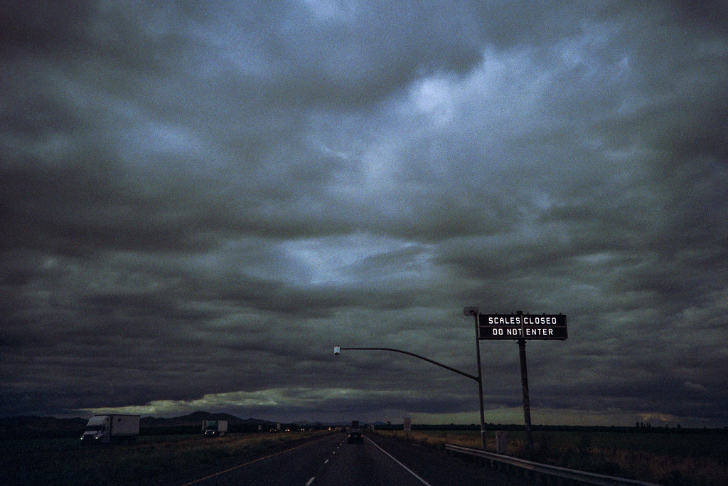
scales closed (lomo). santa nella, ca. 2015.
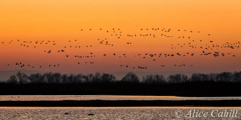
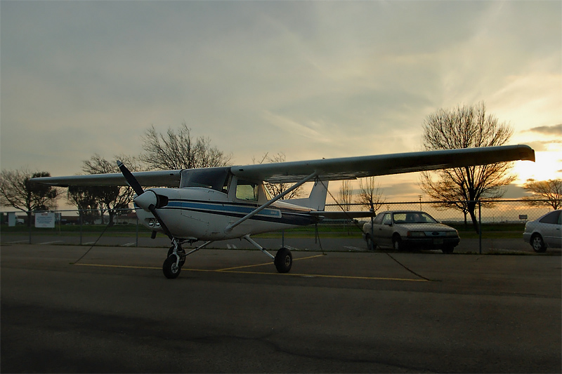
pre Dawn fly out

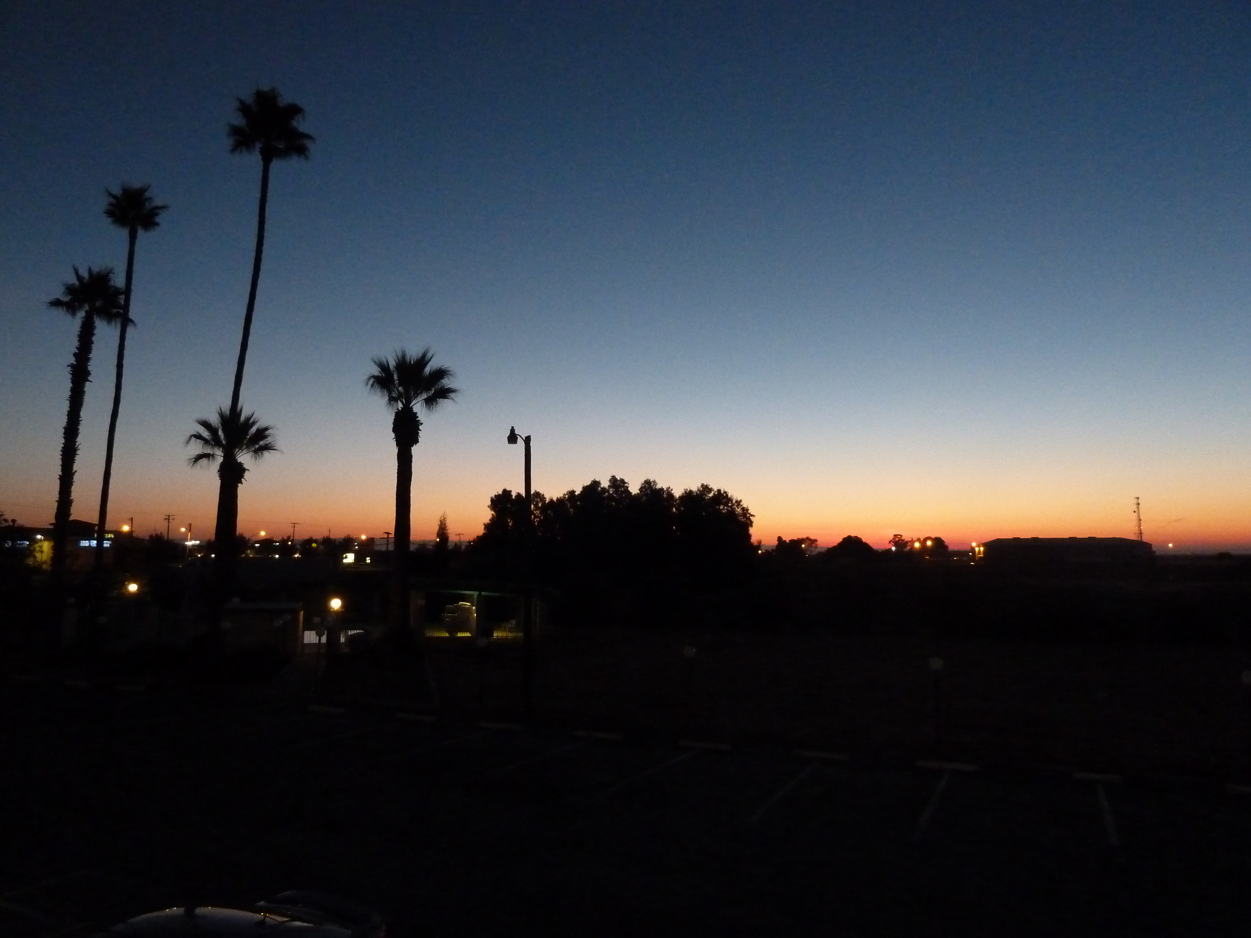
Into the sunset
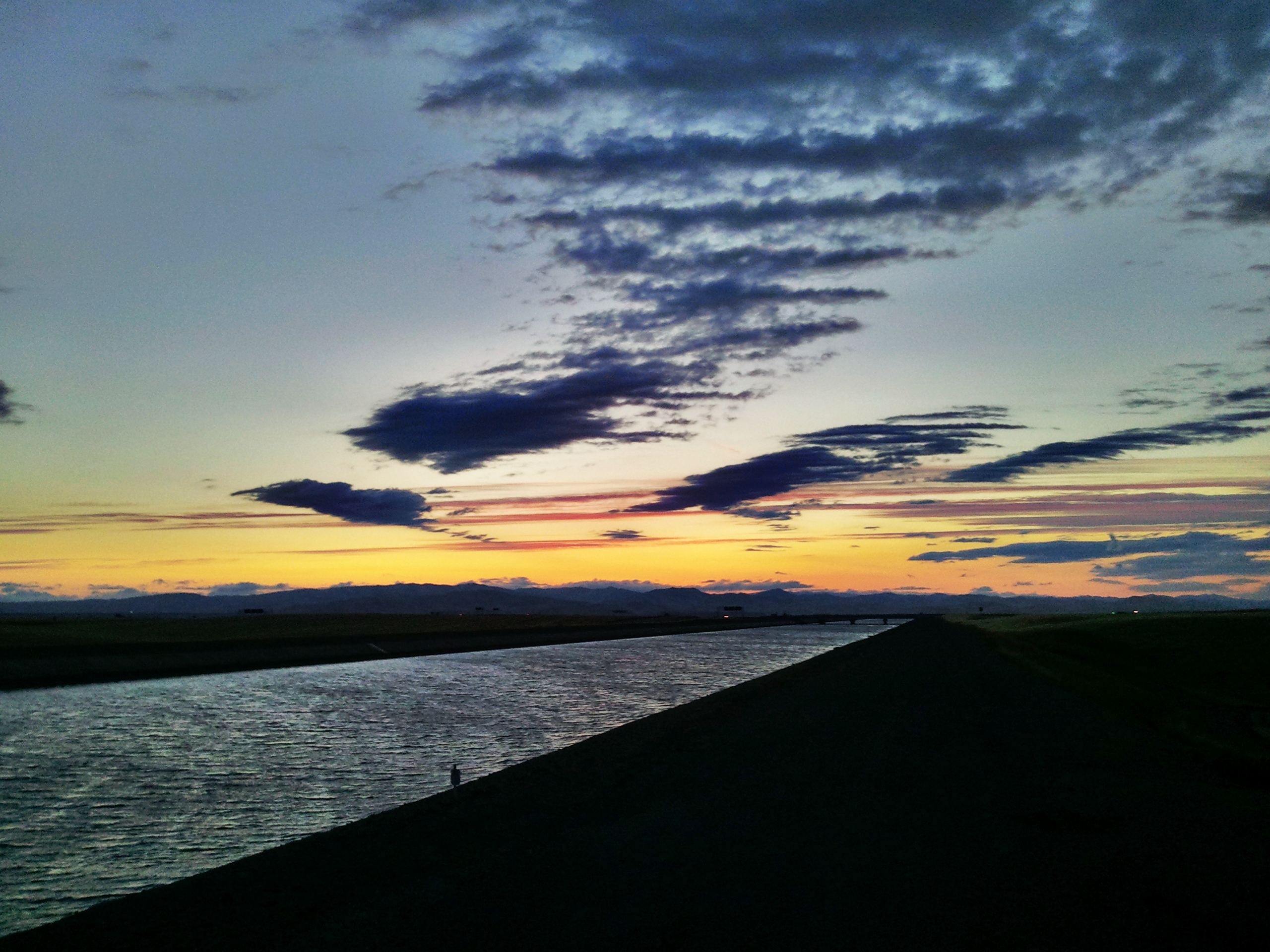
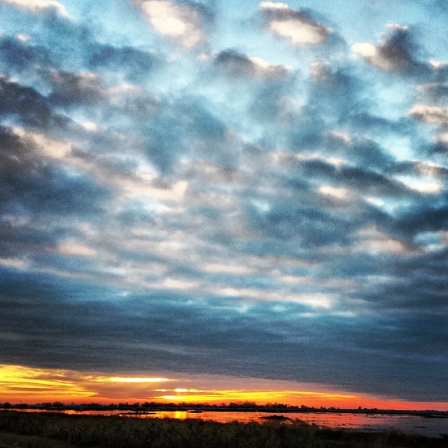
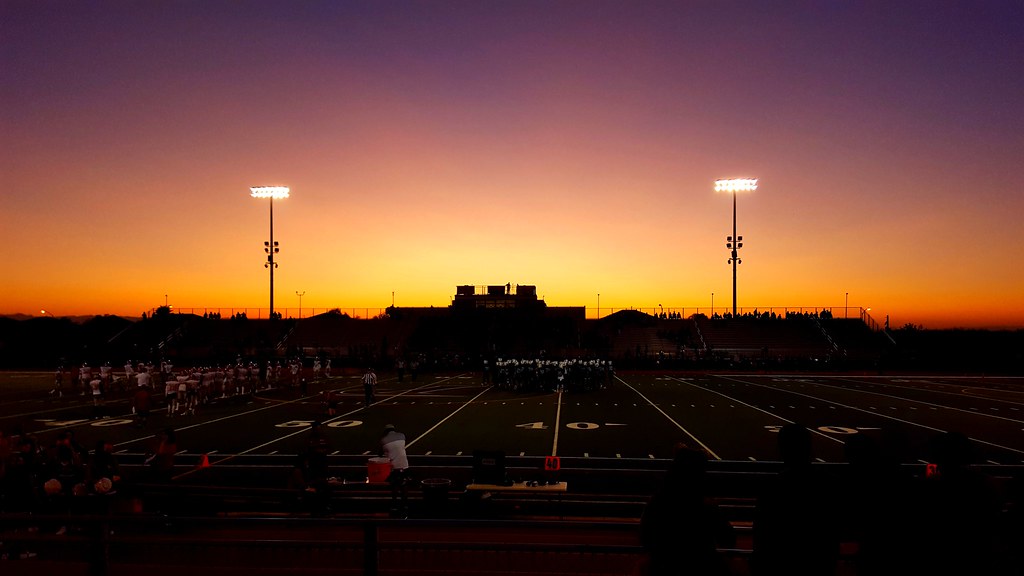
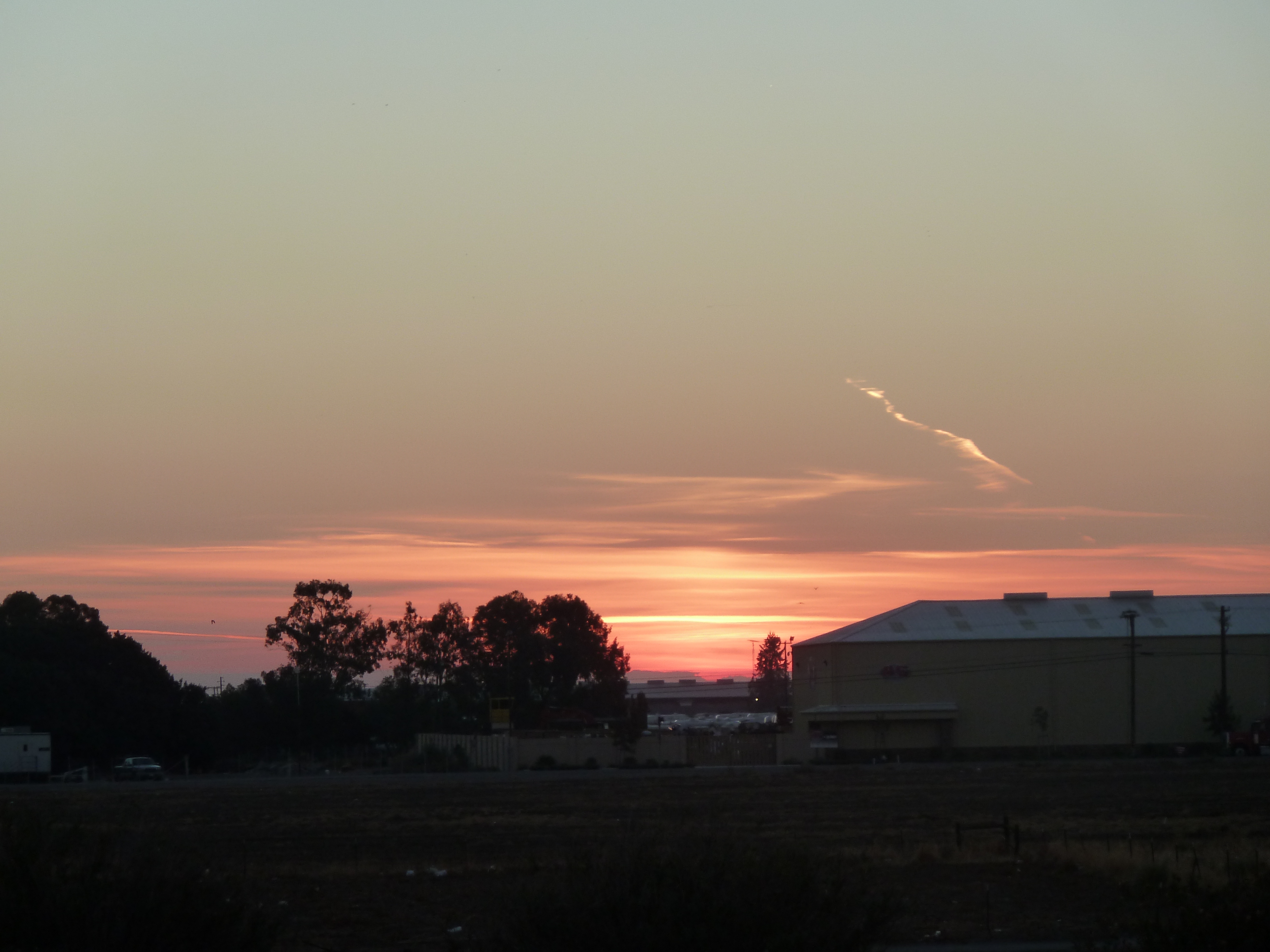
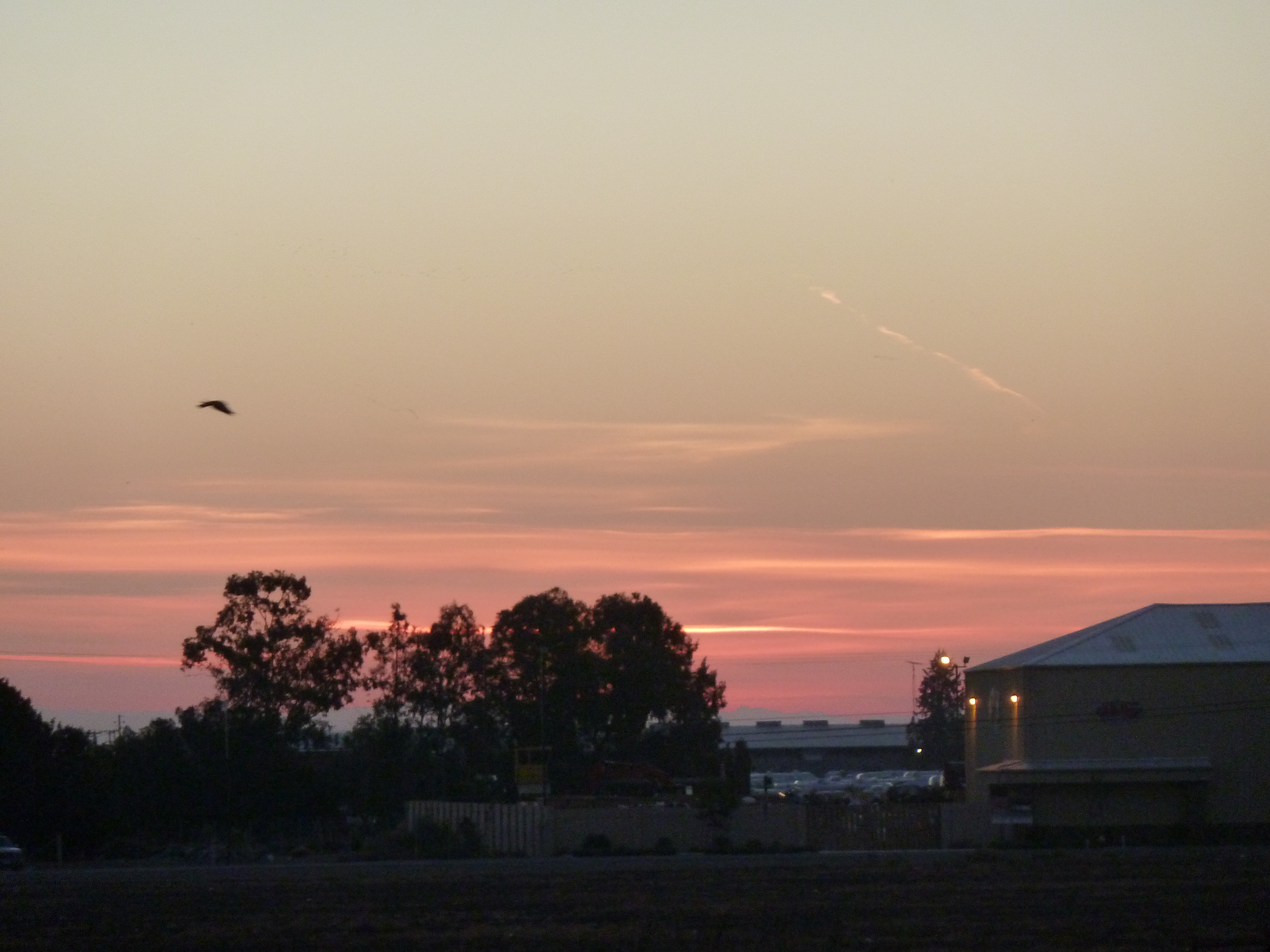
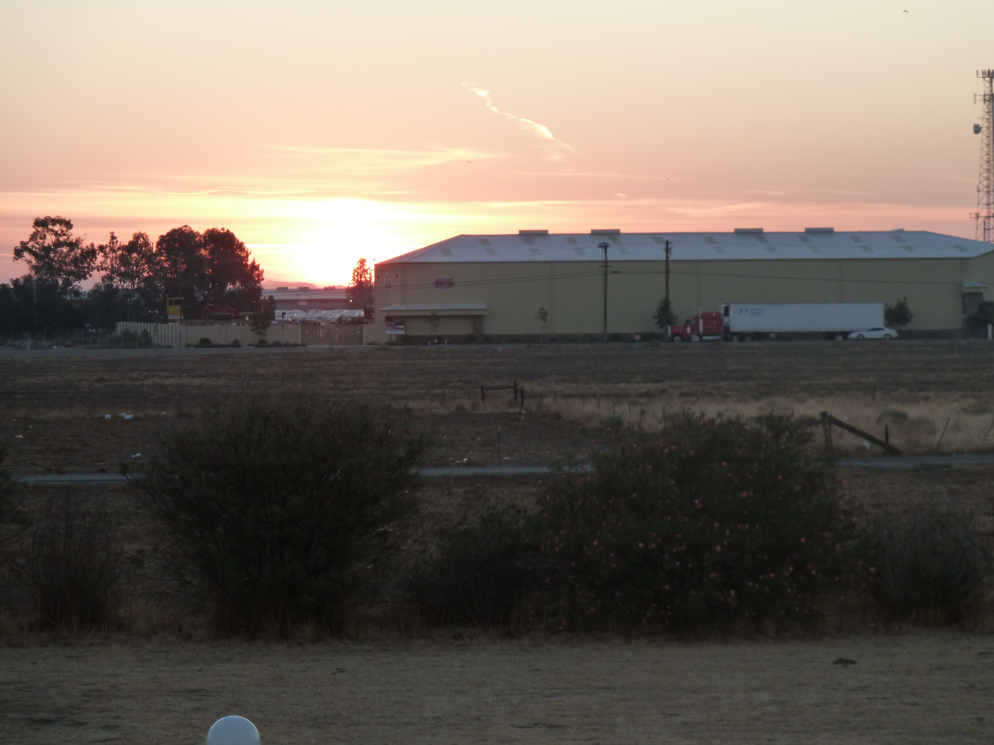
Yet another beautiful sunset
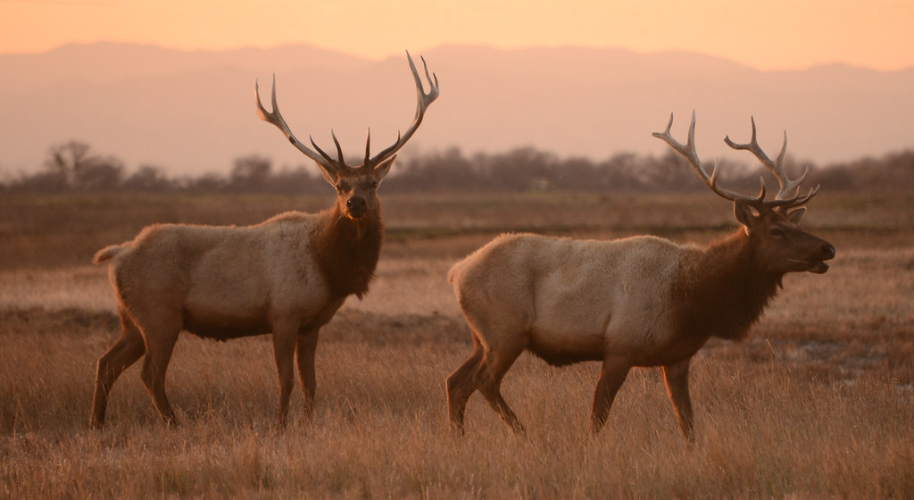
Tule Elk (Cervus canadensis nannodes) at Sunset, San Luis National Wildlife Refuge, California
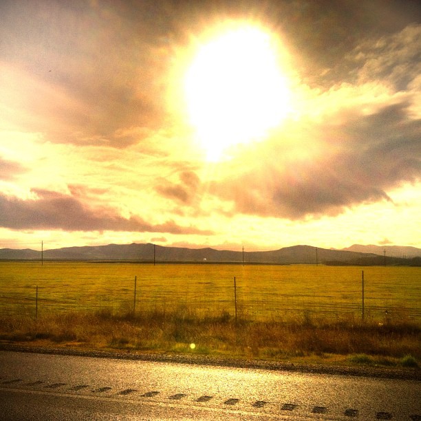
Traffic is murder out there today! We're only 120 miles out ad still have over 300 to go but at least I can people watch

Red-tailed Hawk Silhouette, Merced County, CA
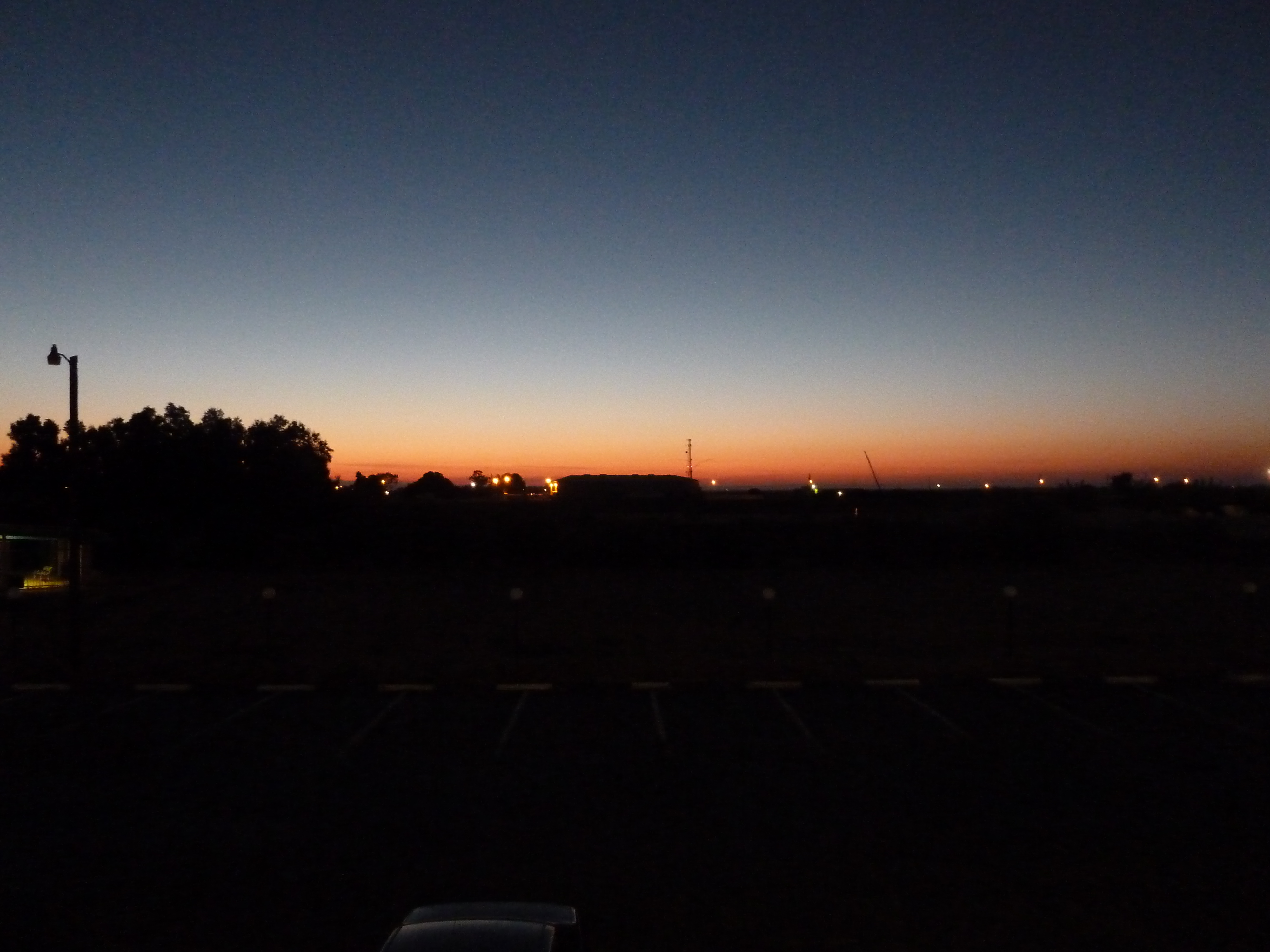
#sunrise
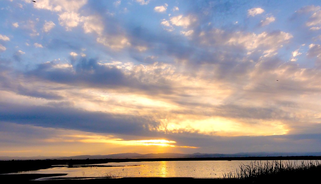
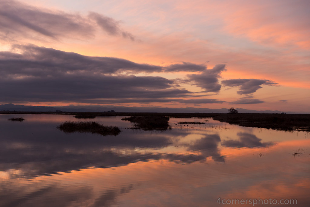
San Luis NWR sunset (1)
San Luis NWR sunset (2)
20171006_185201-01

So good.

176286657031860756_1386541120150319-5226-6l8hf5
010 los_banos_sunset
Storm Clouds, Las Banos, CA
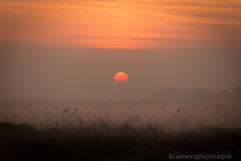
Rising Sun and Fog, Merced County, CA

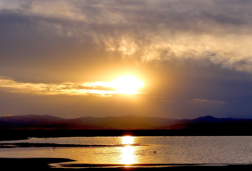
Los Banos Sunset
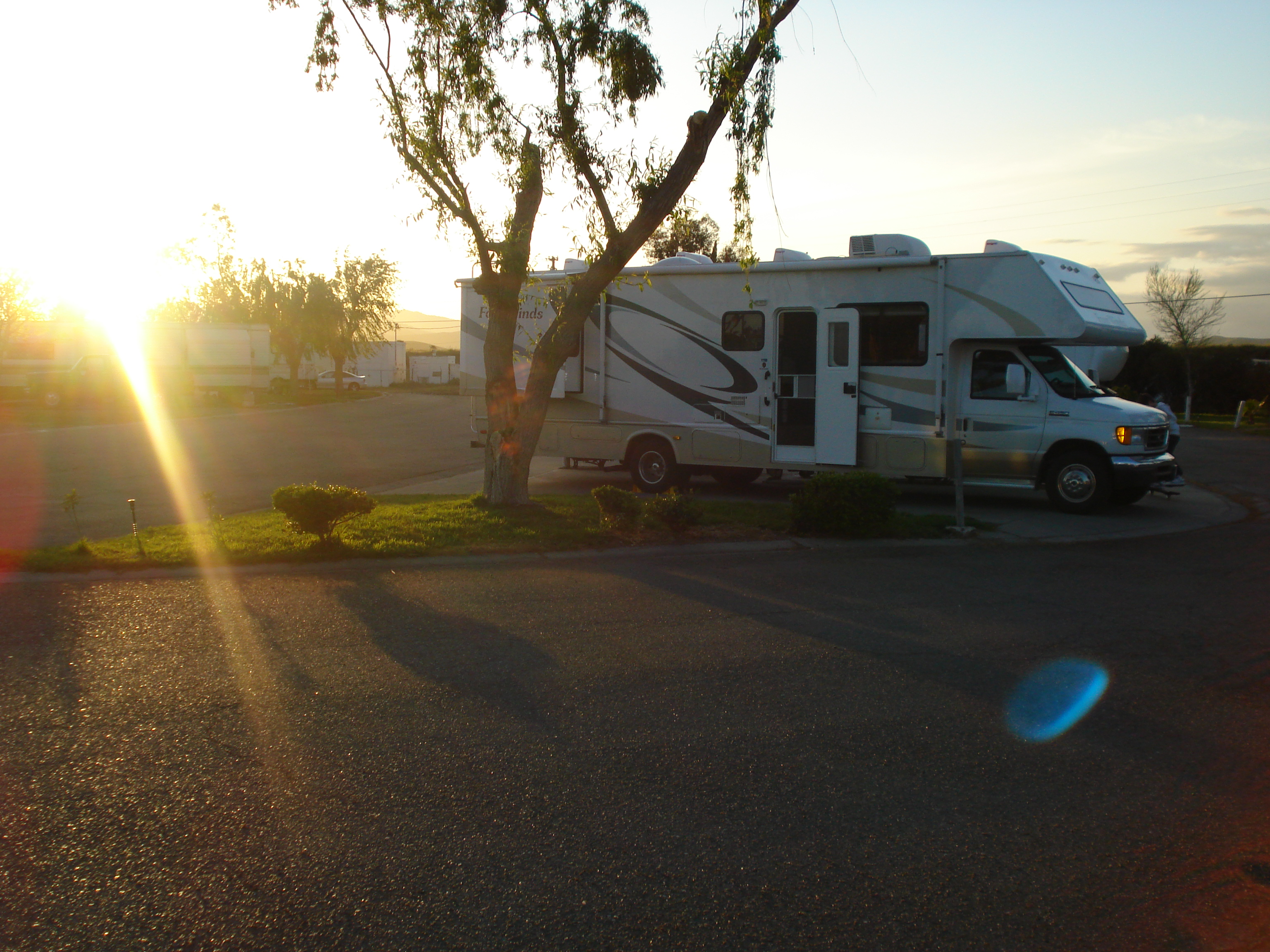
Santa Nella RV Park, Santa Nella, CA
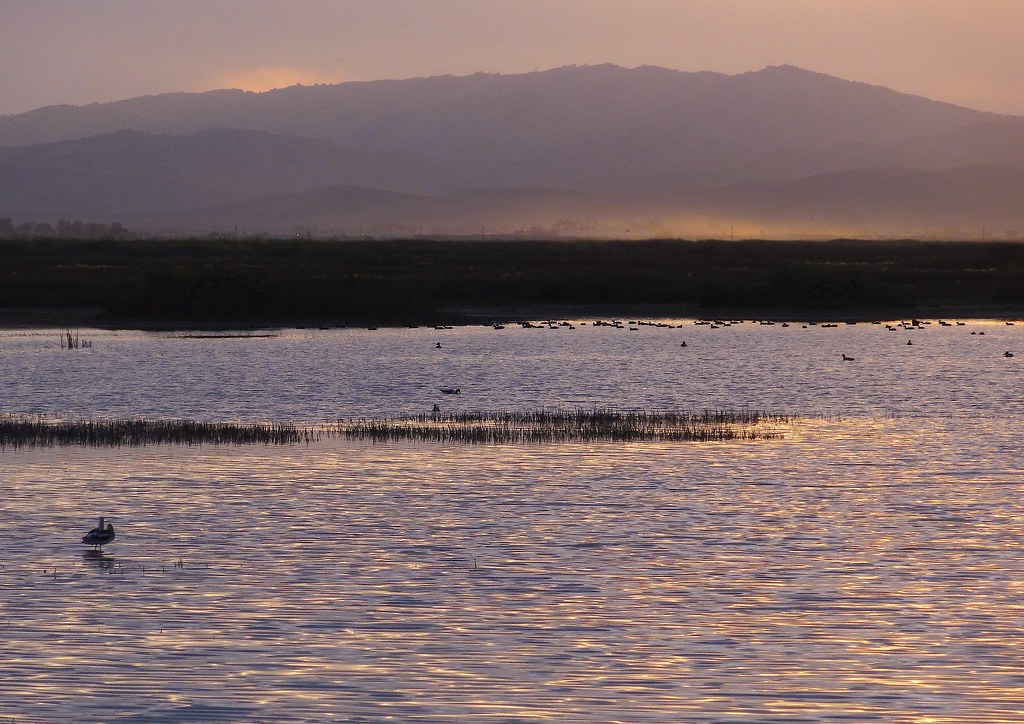
San Luis NWR sunset (3)
ZoneTag Photo Monday 4:46 pm 1/1/07 Los Banos, California
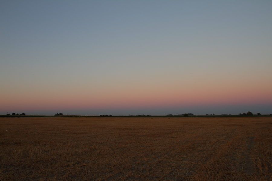
Santa Nella Farmland
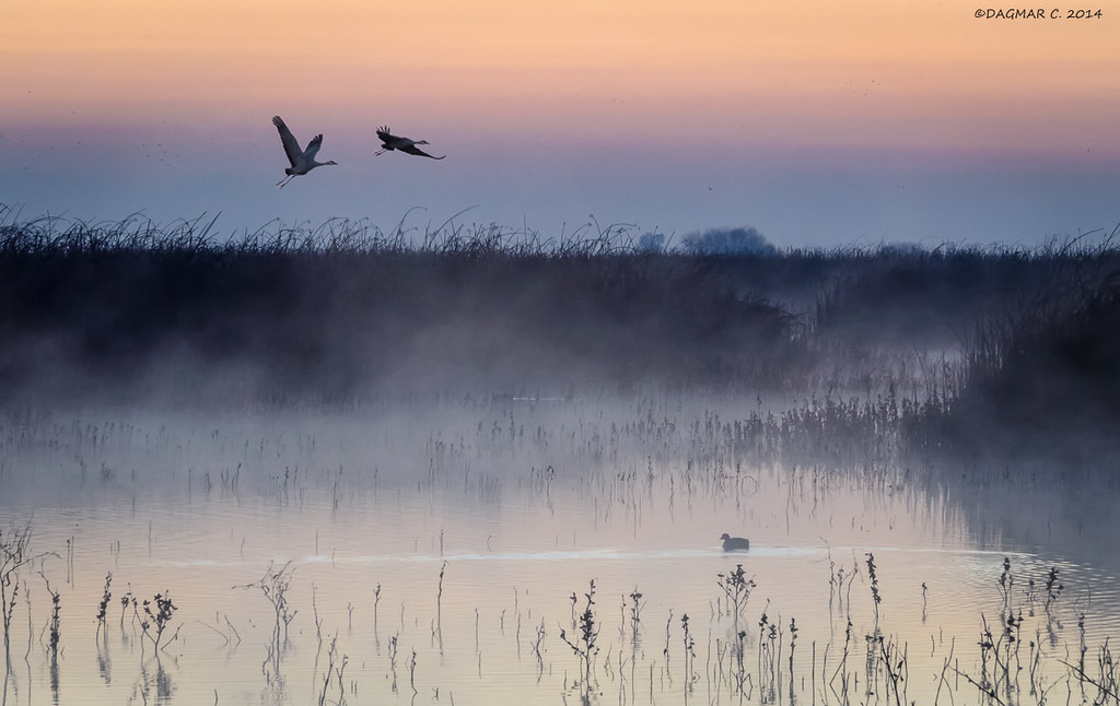
PRE-DAWN FLIGHT
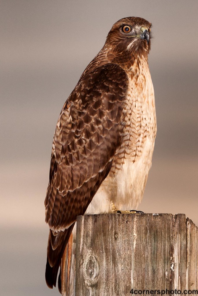
Perched Red-tailed Hawk, Merced County, CA
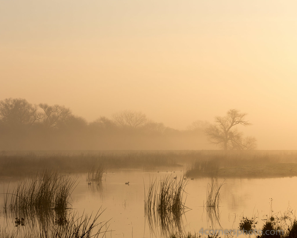
Morning Fog, Merced County, CA
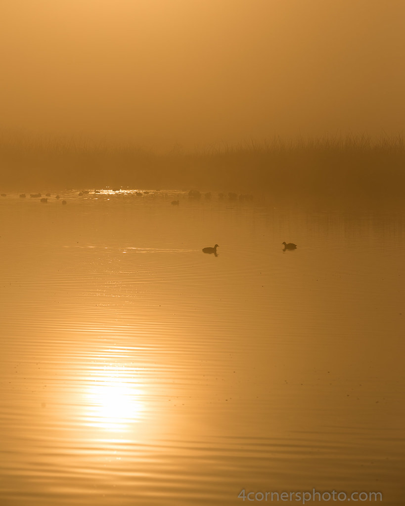
Reflected Sunrise and Fog, Merced County, CA
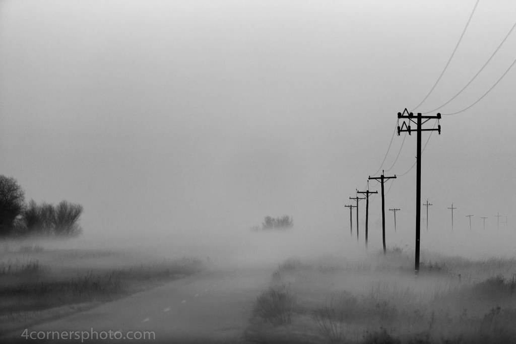
Foggy Morning, Merced County, CA
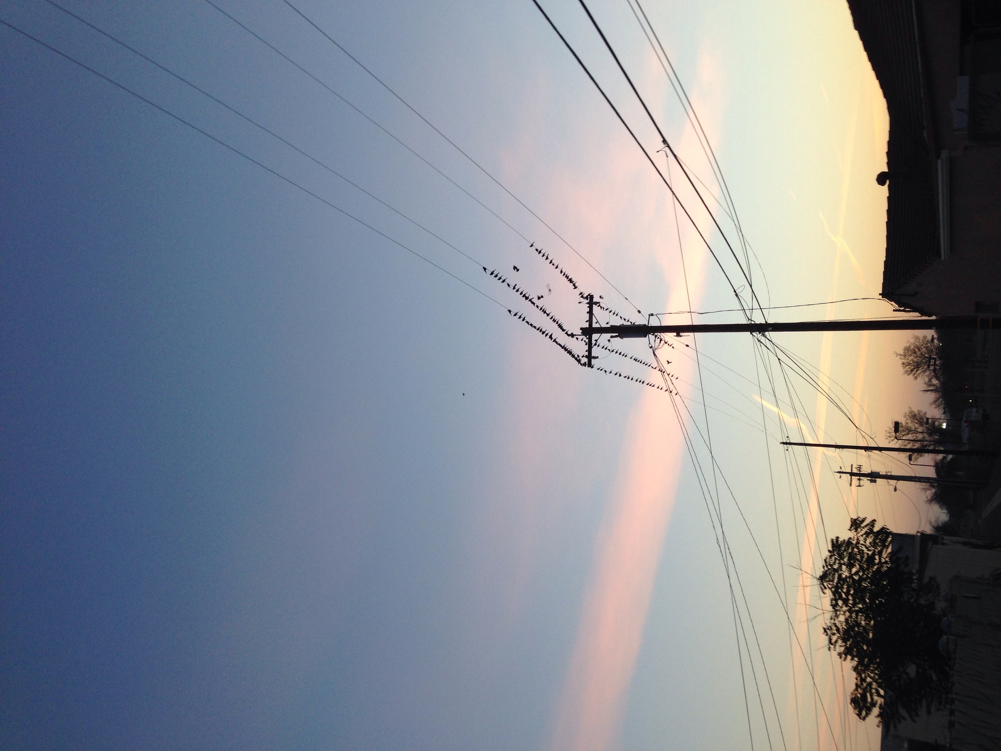
Morning Birds

Sunrise in Los Banos
Sunrise in Los Banos
Sunrise in Los Banos
Sunrise in Los Banos

Sunrise in Los Banos
Sunrise in Los Banos
Sunrise in Los Banos
Sunrise in Los Banos
Sunrise in Los Banos
2015-09-23 06.25.40
2015-09-23 06.26.02
Mapa de Soares Dairy Farms Inc, Badger Flat Rd, Los Banos, CA, EE. UU.
Buscar otro lugar
Lugares cercanos
Peachwood Ct, Los Banos, CA, EE. UU.
Los Baños, California, EE. UU.
Cotton Rd, Los Banos, CA, EE. UU.
Condado de Merced, California, EE. UU.
Britto Rd, Dos Palos, CA, EE. UU.
Stevinson, California, EE. UU.
Azusa Ave, Dos Palos, CA, EE. UU.
South Dos Palos, California, EE. UU.
6th St, South Dos Palos, CA, EE. UU.
Dos Palos, California, EE. UU.
Hilmar-Irwin, California, EE. UU.
Hilmar-Irwin, California, EE. UU.
Livingston, California, EE. UU.
Court St, Livingston, CA, EE. UU.
Steinberg Rd, Atwater, CA, EE. UU.
Olive Ave, Livingston, CA, EE. UU.
Delhi, California, EE. UU.
Golden State Highway, Golden State Hwy, California, EE. UU.
Atwater, California, EE. UU.
Third St, Atwater, CA, EE. UU.
Búsquedas recientes
- Horas de salida y puesta de sol de Red Dog Mine, AK, USA
- Horas de salida y puesta de sol de Am Bahnhof, Am bhf, Borken, Germany
- Horas de salida y puesta de sol de 4th St E, Sonoma, CA, EE. UU.
- Horas de salida y puesta de sol de Oakland Ave, Williamsport, PA, EE. UU.
- Horas de salida y puesta de sol de Via Roma, Pieranica CR, Italia
- Horas de salida y puesta de sol de Torre del reloj, Grad, Dubrovnik (Ragusa), Croacia
- Horas de salida y puesta de sol de Trelew, Chubut, Argentina
- Horas de salida y puesta de sol de Hartfords Bluff Cir, Mt Pleasant, SC, EE. UU.
- Horas de salida y puesta de sol de Kita Ward, Kumamoto, Japón
- Horas de salida y puesta de sol de Pingtan Island, Pingtan County, Fuzhou, China