Horas de salida y puesta de sol de Silver Water, ON P0P, Canadá
Location: Canadá > Ontario > Manitoulin District > Manitoulin >
Zona horaria:
America/Toronto
Hora local:
2025-06-25 16:00:06
Longitud:
-82.855147
Latitud:
45.857854
Salida de sol de hoy:
05:43:01 AM
Puesta de sol de hoy:
09:25:52 PM
La duración del día hoy:
15h 42m 51s
Salida de sol de mañana:
05:43:28 AM
Puesta de sol de mañana:
09:25:50 PM
La duración del día mañana:
15h 42m 22s
Mostrar todas las fechas
| Fecha | Salida de sol | Puesta de sol | Duración del día |
|---|---|---|---|
| 01/01/2025 | 08:12:42 AM | 04:58:23 PM | 8h 45m 41s |
| 02/01/2025 | 08:12:38 AM | 04:59:21 PM | 8h 46m 43s |
| 03/01/2025 | 08:12:33 AM | 05:00:22 PM | 8h 47m 49s |
| 04/01/2025 | 08:12:24 AM | 05:01:24 PM | 8h 49m 0s |
| 05/01/2025 | 08:12:13 AM | 05:02:28 PM | 8h 50m 15s |
| 06/01/2025 | 08:11:59 AM | 05:03:33 PM | 8h 51m 34s |
| 07/01/2025 | 08:11:42 AM | 05:04:41 PM | 8h 52m 59s |
| 08/01/2025 | 08:11:23 AM | 05:05:50 PM | 8h 54m 27s |
| 09/01/2025 | 08:11:01 AM | 05:07:00 PM | 8h 55m 59s |
| 10/01/2025 | 08:10:36 AM | 05:08:12 PM | 8h 57m 36s |
| 11/01/2025 | 08:10:09 AM | 05:09:26 PM | 8h 59m 17s |
| 12/01/2025 | 08:09:40 AM | 05:10:40 PM | 9h 1m 0s |
| 13/01/2025 | 08:09:08 AM | 05:11:56 PM | 9h 2m 48s |
| 14/01/2025 | 08:08:33 AM | 05:13:13 PM | 9h 4m 40s |
| 15/01/2025 | 08:07:56 AM | 05:14:32 PM | 9h 6m 36s |
| 16/01/2025 | 08:07:16 AM | 05:15:51 PM | 9h 8m 35s |
| 17/01/2025 | 08:06:34 AM | 05:17:11 PM | 9h 10m 37s |
| 18/01/2025 | 08:05:50 AM | 05:18:32 PM | 9h 12m 42s |
| 19/01/2025 | 08:05:03 AM | 05:19:54 PM | 9h 14m 51s |
| 20/01/2025 | 08:04:14 AM | 05:21:17 PM | 9h 17m 3s |
| 21/01/2025 | 08:03:22 AM | 05:22:41 PM | 9h 19m 19s |
| 22/01/2025 | 08:02:29 AM | 05:24:05 PM | 9h 21m 36s |
| 23/01/2025 | 08:01:33 AM | 05:25:30 PM | 9h 23m 57s |
| 24/01/2025 | 08:00:35 AM | 05:26:56 PM | 9h 26m 21s |
| 25/01/2025 | 07:59:35 AM | 05:28:22 PM | 9h 28m 47s |
| 26/01/2025 | 07:58:33 AM | 05:29:48 PM | 9h 31m 15s |
| 27/01/2025 | 07:57:29 AM | 05:31:15 PM | 9h 33m 46s |
| 28/01/2025 | 07:56:23 AM | 05:32:43 PM | 9h 36m 20s |
| 29/01/2025 | 07:55:14 AM | 05:34:10 PM | 9h 38m 56s |
| 30/01/2025 | 07:54:04 AM | 05:35:38 PM | 9h 41m 34s |
| 31/01/2025 | 07:52:52 AM | 05:37:07 PM | 9h 44m 15s |
| 01/02/2025 | 07:51:39 AM | 05:38:35 PM | 9h 46m 56s |
| 02/02/2025 | 07:50:23 AM | 05:40:03 PM | 9h 49m 40s |
| 03/02/2025 | 07:49:06 AM | 05:41:32 PM | 9h 52m 26s |
| 04/02/2025 | 07:47:47 AM | 05:43:01 PM | 9h 55m 14s |
| 05/02/2025 | 07:46:26 AM | 05:44:30 PM | 9h 58m 4s |
| 06/02/2025 | 07:45:04 AM | 05:45:58 PM | 10h 0m 54s |
| 07/02/2025 | 07:43:40 AM | 05:47:27 PM | 10h 3m 47s |
| 08/02/2025 | 07:42:15 AM | 05:48:56 PM | 10h 6m 41s |
| 09/02/2025 | 07:40:48 AM | 05:50:25 PM | 10h 9m 37s |
| 10/02/2025 | 07:39:20 AM | 05:51:53 PM | 10h 12m 33s |
| 11/02/2025 | 07:37:50 AM | 05:53:22 PM | 10h 15m 32s |
| 12/02/2025 | 07:36:19 AM | 05:54:50 PM | 10h 18m 31s |
| 13/02/2025 | 07:34:47 AM | 05:56:18 PM | 10h 21m 31s |
| 14/02/2025 | 07:33:13 AM | 05:57:46 PM | 10h 24m 33s |
| 15/02/2025 | 07:31:38 AM | 05:59:14 PM | 10h 27m 36s |
| 16/02/2025 | 07:30:02 AM | 06:00:42 PM | 10h 30m 40s |
| 17/02/2025 | 07:28:25 AM | 06:02:09 PM | 10h 33m 44s |
| 18/02/2025 | 07:26:46 AM | 06:03:36 PM | 10h 36m 50s |
| 19/02/2025 | 07:25:07 AM | 06:05:03 PM | 10h 39m 56s |
| 20/02/2025 | 07:23:26 AM | 06:06:30 PM | 10h 43m 4s |
| 21/02/2025 | 07:21:45 AM | 06:07:56 PM | 10h 46m 11s |
| 22/02/2025 | 07:20:02 AM | 06:09:22 PM | 10h 49m 20s |
| 23/02/2025 | 07:18:19 AM | 06:10:48 PM | 10h 52m 29s |
| 24/02/2025 | 07:16:35 AM | 06:12:14 PM | 10h 55m 39s |
| 25/02/2025 | 07:14:49 AM | 06:13:39 PM | 10h 58m 50s |
| 26/02/2025 | 07:13:03 AM | 06:15:04 PM | 11h 2m 1s |
| 27/02/2025 | 07:11:17 AM | 06:16:29 PM | 11h 5m 12s |
| 28/02/2025 | 07:09:29 AM | 06:17:53 PM | 11h 8m 24s |
| 01/03/2025 | 07:07:41 AM | 06:19:17 PM | 11h 11m 36s |
| 02/03/2025 | 07:05:52 AM | 06:20:41 PM | 11h 14m 49s |
| 03/03/2025 | 07:04:02 AM | 06:22:05 PM | 11h 18m 3s |
| 04/03/2025 | 07:02:12 AM | 06:23:28 PM | 11h 21m 16s |
| 05/03/2025 | 07:00:21 AM | 06:24:51 PM | 11h 24m 30s |
| 06/03/2025 | 06:58:30 AM | 06:26:14 PM | 11h 27m 44s |
| 07/03/2025 | 06:56:38 AM | 06:27:36 PM | 11h 30m 58s |
| 08/03/2025 | 06:54:46 AM | 06:28:59 PM | 11h 34m 13s |
| 09/03/2025 | 07:52:58 AM | 07:30:17 PM | 11h 37m 19s |
| 10/03/2025 | 07:51:05 AM | 07:31:39 PM | 11h 40m 34s |
| 11/03/2025 | 07:49:11 AM | 07:33:01 PM | 11h 43m 50s |
| 12/03/2025 | 07:47:17 AM | 07:34:22 PM | 11h 47m 5s |
| 13/03/2025 | 07:45:23 AM | 07:35:43 PM | 11h 50m 20s |
| 14/03/2025 | 07:43:29 AM | 07:37:04 PM | 11h 53m 35s |
| 15/03/2025 | 07:41:34 AM | 07:38:25 PM | 11h 56m 51s |
| 16/03/2025 | 07:39:39 AM | 07:39:45 PM | 12h 0m 6s |
| 17/03/2025 | 07:37:44 AM | 07:41:06 PM | 12h 3m 22s |
| 18/03/2025 | 07:35:49 AM | 07:42:26 PM | 12h 6m 37s |
| 19/03/2025 | 07:33:53 AM | 07:43:46 PM | 12h 9m 53s |
| 20/03/2025 | 07:31:58 AM | 07:45:06 PM | 12h 13m 8s |
| 21/03/2025 | 07:30:02 AM | 07:46:26 PM | 12h 16m 24s |
| 22/03/2025 | 07:28:06 AM | 07:47:45 PM | 12h 19m 39s |
| 23/03/2025 | 07:26:11 AM | 07:49:05 PM | 12h 22m 54s |
| 24/03/2025 | 07:24:15 AM | 07:50:24 PM | 12h 26m 9s |
| 25/03/2025 | 07:22:20 AM | 07:51:44 PM | 12h 29m 24s |
| 26/03/2025 | 07:20:24 AM | 07:53:03 PM | 12h 32m 39s |
| 27/03/2025 | 07:18:29 AM | 07:54:22 PM | 12h 35m 53s |
| 28/03/2025 | 07:16:34 AM | 07:55:41 PM | 12h 39m 7s |
| 29/03/2025 | 07:14:39 AM | 07:57:00 PM | 12h 42m 21s |
| 30/03/2025 | 07:12:44 AM | 07:58:19 PM | 12h 45m 35s |
| 31/03/2025 | 07:10:49 AM | 07:59:38 PM | 12h 48m 49s |
| 01/04/2025 | 07:08:55 AM | 08:00:57 PM | 12h 52m 2s |
| 02/04/2025 | 07:07:01 AM | 08:02:16 PM | 12h 55m 15s |
| 03/04/2025 | 07:05:08 AM | 08:03:34 PM | 12h 58m 26s |
| 04/04/2025 | 07:03:14 AM | 08:04:53 PM | 13h 1m 39s |
| 05/04/2025 | 07:01:22 AM | 08:06:12 PM | 13h 4m 50s |
| 06/04/2025 | 06:59:29 AM | 08:07:31 PM | 13h 8m 2s |
| 07/04/2025 | 06:57:37 AM | 08:08:49 PM | 13h 11m 12s |
| 08/04/2025 | 06:55:46 AM | 08:10:08 PM | 13h 14m 22s |
| 09/04/2025 | 06:53:55 AM | 08:11:27 PM | 13h 17m 32s |
| 10/04/2025 | 06:52:05 AM | 08:12:45 PM | 13h 20m 40s |
| 11/04/2025 | 06:50:15 AM | 08:14:04 PM | 13h 23m 49s |
| 12/04/2025 | 06:48:26 AM | 08:15:23 PM | 13h 26m 57s |
| 13/04/2025 | 06:46:37 AM | 08:16:41 PM | 13h 30m 4s |
| 14/04/2025 | 06:44:50 AM | 08:18:00 PM | 13h 33m 10s |
| 15/04/2025 | 06:43:03 AM | 08:19:19 PM | 13h 36m 16s |
| 16/04/2025 | 06:41:16 AM | 08:20:37 PM | 13h 39m 21s |
| 17/04/2025 | 06:39:31 AM | 08:21:56 PM | 13h 42m 25s |
| 18/04/2025 | 06:37:46 AM | 08:23:14 PM | 13h 45m 28s |
| 19/04/2025 | 06:36:03 AM | 08:24:33 PM | 13h 48m 30s |
| 20/04/2025 | 06:34:20 AM | 08:25:51 PM | 13h 51m 31s |
| 21/04/2025 | 06:32:38 AM | 08:27:10 PM | 13h 54m 32s |
| 22/04/2025 | 06:30:57 AM | 08:28:28 PM | 13h 57m 31s |
| 23/04/2025 | 06:29:17 AM | 08:29:47 PM | 14h 0m 30s |
| 24/04/2025 | 06:27:38 AM | 08:31:05 PM | 14h 3m 27s |
| 25/04/2025 | 06:26:00 AM | 08:32:23 PM | 14h 6m 23s |
| 26/04/2025 | 06:24:24 AM | 08:33:41 PM | 14h 9m 17s |
| 27/04/2025 | 06:22:48 AM | 08:34:59 PM | 14h 12m 11s |
| 28/04/2025 | 06:21:14 AM | 08:36:16 PM | 14h 15m 2s |
| 29/04/2025 | 06:19:41 AM | 08:37:34 PM | 14h 17m 53s |
| 30/04/2025 | 06:18:09 AM | 08:38:51 PM | 14h 20m 42s |
| 01/05/2025 | 06:16:38 AM | 08:40:08 PM | 14h 23m 30s |
| 02/05/2025 | 06:15:09 AM | 08:41:25 PM | 14h 26m 16s |
| 03/05/2025 | 06:13:41 AM | 08:42:42 PM | 14h 29m 1s |
| 04/05/2025 | 06:12:15 AM | 08:43:58 PM | 14h 31m 43s |
| 05/05/2025 | 06:10:50 AM | 08:45:14 PM | 14h 34m 24s |
| 06/05/2025 | 06:09:26 AM | 08:46:29 PM | 14h 37m 3s |
| 07/05/2025 | 06:08:04 AM | 08:47:45 PM | 14h 39m 41s |
| 08/05/2025 | 06:06:44 AM | 08:48:59 PM | 14h 42m 15s |
| 09/05/2025 | 06:05:25 AM | 08:50:14 PM | 14h 44m 49s |
| 10/05/2025 | 06:04:08 AM | 08:51:27 PM | 14h 47m 19s |
| 11/05/2025 | 06:02:53 AM | 08:52:41 PM | 14h 49m 48s |
| 12/05/2025 | 06:01:39 AM | 08:53:53 PM | 14h 52m 14s |
| 13/05/2025 | 06:00:27 AM | 08:55:06 PM | 14h 54m 39s |
| 14/05/2025 | 05:59:17 AM | 08:56:17 PM | 14h 57m 0s |
| 15/05/2025 | 05:58:08 AM | 08:57:28 PM | 14h 59m 20s |
| 16/05/2025 | 05:57:02 AM | 08:58:38 PM | 15h 1m 36s |
| 17/05/2025 | 05:55:57 AM | 08:59:47 PM | 15h 3m 50s |
| 18/05/2025 | 05:54:54 AM | 09:00:55 PM | 15h 6m 1s |
| 19/05/2025 | 05:53:54 AM | 09:02:03 PM | 15h 8m 9s |
| 20/05/2025 | 05:52:55 AM | 09:03:09 PM | 15h 10m 14s |
| 21/05/2025 | 05:51:58 AM | 09:04:15 PM | 15h 12m 17s |
| 22/05/2025 | 05:51:04 AM | 09:05:20 PM | 15h 14m 16s |
| 23/05/2025 | 05:50:11 AM | 09:06:23 PM | 15h 16m 12s |
| 24/05/2025 | 05:49:21 AM | 09:07:26 PM | 15h 18m 5s |
| 25/05/2025 | 05:48:32 AM | 09:08:27 PM | 15h 19m 55s |
| 26/05/2025 | 05:47:46 AM | 09:09:27 PM | 15h 21m 41s |
| 27/05/2025 | 05:47:02 AM | 09:10:25 PM | 15h 23m 23s |
| 28/05/2025 | 05:46:21 AM | 09:11:23 PM | 15h 25m 2s |
| 29/05/2025 | 05:45:41 AM | 09:12:19 PM | 15h 26m 38s |
| 30/05/2025 | 05:45:04 AM | 09:13:13 PM | 15h 28m 9s |
| 31/05/2025 | 05:44:29 AM | 09:14:06 PM | 15h 29m 37s |
| 01/06/2025 | 05:43:57 AM | 09:14:58 PM | 15h 31m 1s |
| 02/06/2025 | 05:43:27 AM | 09:15:48 PM | 15h 32m 21s |
| 03/06/2025 | 05:42:59 AM | 09:16:36 PM | 15h 33m 37s |
| 04/06/2025 | 05:42:33 AM | 09:17:23 PM | 15h 34m 50s |
| 05/06/2025 | 05:42:10 AM | 09:18:08 PM | 15h 35m 58s |
| 06/06/2025 | 05:41:50 AM | 09:18:51 PM | 15h 37m 1s |
| 07/06/2025 | 05:41:31 AM | 09:19:32 PM | 15h 38m 1s |
| 08/06/2025 | 05:41:16 AM | 09:20:11 PM | 15h 38m 55s |
| 09/06/2025 | 05:41:02 AM | 09:20:49 PM | 15h 39m 47s |
| 10/06/2025 | 05:40:51 AM | 09:21:24 PM | 15h 40m 33s |
| 11/06/2025 | 05:40:42 AM | 09:21:57 PM | 15h 41m 15s |
| 12/06/2025 | 05:40:36 AM | 09:22:29 PM | 15h 41m 53s |
| 13/06/2025 | 05:40:32 AM | 09:22:58 PM | 15h 42m 26s |
| 14/06/2025 | 05:40:31 AM | 09:23:25 PM | 15h 42m 54s |
| 15/06/2025 | 05:40:32 AM | 09:23:50 PM | 15h 43m 18s |
| 16/06/2025 | 05:40:35 AM | 09:24:13 PM | 15h 43m 38s |
| 17/06/2025 | 05:40:41 AM | 09:24:33 PM | 15h 43m 52s |
| 18/06/2025 | 05:40:49 AM | 09:24:51 PM | 15h 44m 2s |
| 19/06/2025 | 05:40:59 AM | 09:25:07 PM | 15h 44m 8s |
| 20/06/2025 | 05:41:12 AM | 09:25:21 PM | 15h 44m 9s |
| 21/06/2025 | 05:41:27 AM | 09:25:32 PM | 15h 44m 5s |
| 22/06/2025 | 05:41:44 AM | 09:25:41 PM | 15h 43m 57s |
| 23/06/2025 | 05:42:03 AM | 09:25:47 PM | 15h 43m 44s |
| 24/06/2025 | 05:42:25 AM | 09:25:51 PM | 15h 43m 26s |
| 25/06/2025 | 05:42:48 AM | 09:25:53 PM | 15h 43m 5s |
| 26/06/2025 | 05:43:14 AM | 09:25:52 PM | 15h 42m 38s |
| 27/06/2025 | 05:43:42 AM | 09:25:49 PM | 15h 42m 7s |
| 28/06/2025 | 05:44:12 AM | 09:25:43 PM | 15h 41m 31s |
| 29/06/2025 | 05:44:44 AM | 09:25:35 PM | 15h 40m 51s |
| 30/06/2025 | 05:45:18 AM | 09:25:24 PM | 15h 40m 6s |
| 01/07/2025 | 05:45:53 AM | 09:25:11 PM | 15h 39m 18s |
| 02/07/2025 | 05:46:31 AM | 09:24:55 PM | 15h 38m 24s |
| 03/07/2025 | 05:47:11 AM | 09:24:37 PM | 15h 37m 26s |
| 04/07/2025 | 05:47:52 AM | 09:24:17 PM | 15h 36m 25s |
| 05/07/2025 | 05:48:35 AM | 09:23:54 PM | 15h 35m 19s |
| 06/07/2025 | 05:49:19 AM | 09:23:29 PM | 15h 34m 10s |
| 07/07/2025 | 05:50:06 AM | 09:23:01 PM | 15h 32m 55s |
| 08/07/2025 | 05:50:54 AM | 09:22:31 PM | 15h 31m 37s |
| 09/07/2025 | 05:51:43 AM | 09:21:59 PM | 15h 30m 16s |
| 10/07/2025 | 05:52:34 AM | 09:21:24 PM | 15h 28m 50s |
| 11/07/2025 | 05:53:26 AM | 09:20:47 PM | 15h 27m 21s |
| 12/07/2025 | 05:54:20 AM | 09:20:07 PM | 15h 25m 47s |
| 13/07/2025 | 05:55:15 AM | 09:19:26 PM | 15h 24m 11s |
| 14/07/2025 | 05:56:11 AM | 09:18:42 PM | 15h 22m 31s |
| 15/07/2025 | 05:57:09 AM | 09:17:56 PM | 15h 20m 47s |
| 16/07/2025 | 05:58:08 AM | 09:17:07 PM | 15h 18m 59s |
| 17/07/2025 | 05:59:07 AM | 09:16:17 PM | 15h 17m 10s |
| 18/07/2025 | 06:00:08 AM | 09:15:24 PM | 15h 15m 16s |
| 19/07/2025 | 06:01:10 AM | 09:14:29 PM | 15h 13m 19s |
| 20/07/2025 | 06:02:13 AM | 09:13:32 PM | 15h 11m 19s |
| 21/07/2025 | 06:03:17 AM | 09:12:33 PM | 15h 9m 16s |
| 22/07/2025 | 06:04:21 AM | 09:11:32 PM | 15h 7m 11s |
| 23/07/2025 | 06:05:27 AM | 09:10:29 PM | 15h 5m 2s |
| 24/07/2025 | 06:06:33 AM | 09:09:24 PM | 15h 2m 51s |
| 25/07/2025 | 06:07:40 AM | 09:08:17 PM | 15h 0m 37s |
| 26/07/2025 | 06:08:48 AM | 09:07:08 PM | 14h 58m 20s |
| 27/07/2025 | 06:09:56 AM | 09:05:57 PM | 14h 56m 1s |
| 28/07/2025 | 06:11:05 AM | 09:04:45 PM | 14h 53m 40s |
| 29/07/2025 | 06:12:14 AM | 09:03:31 PM | 14h 51m 17s |
| 30/07/2025 | 06:13:24 AM | 09:02:15 PM | 14h 48m 51s |
| 31/07/2025 | 06:14:35 AM | 09:00:57 PM | 14h 46m 22s |
| 01/08/2025 | 06:15:46 AM | 08:59:38 PM | 14h 43m 52s |
| 02/08/2025 | 06:16:57 AM | 08:58:17 PM | 14h 41m 20s |
| 03/08/2025 | 06:18:09 AM | 08:56:54 PM | 14h 38m 45s |
| 04/08/2025 | 06:19:21 AM | 08:55:30 PM | 14h 36m 9s |
| 05/08/2025 | 06:20:33 AM | 08:54:04 PM | 14h 33m 31s |
| 06/08/2025 | 06:21:46 AM | 08:52:37 PM | 14h 30m 51s |
| 07/08/2025 | 06:22:59 AM | 08:51:09 PM | 14h 28m 10s |
| 08/08/2025 | 06:24:12 AM | 08:49:39 PM | 14h 25m 27s |
| 09/08/2025 | 06:25:25 AM | 08:48:07 PM | 14h 22m 42s |
| 10/08/2025 | 06:26:39 AM | 08:46:35 PM | 14h 19m 56s |
| 11/08/2025 | 06:27:52 AM | 08:45:01 PM | 14h 17m 9s |
| 12/08/2025 | 06:29:06 AM | 08:43:26 PM | 14h 14m 20s |
| 13/08/2025 | 06:30:20 AM | 08:41:49 PM | 14h 11m 29s |
| 14/08/2025 | 06:31:34 AM | 08:40:12 PM | 14h 8m 38s |
| 15/08/2025 | 06:32:48 AM | 08:38:33 PM | 14h 5m 45s |
| 16/08/2025 | 06:34:02 AM | 08:36:54 PM | 14h 2m 52s |
| 17/08/2025 | 06:35:16 AM | 08:35:13 PM | 13h 59m 57s |
| 18/08/2025 | 06:36:31 AM | 08:33:31 PM | 13h 57m 0s |
| 19/08/2025 | 06:37:45 AM | 08:31:48 PM | 13h 54m 3s |
| 20/08/2025 | 06:38:59 AM | 08:30:04 PM | 13h 51m 5s |
| 21/08/2025 | 06:40:14 AM | 08:28:19 PM | 13h 48m 5s |
| 22/08/2025 | 06:41:28 AM | 08:26:34 PM | 13h 45m 6s |
| 23/08/2025 | 06:42:42 AM | 08:24:47 PM | 13h 42m 5s |
| 24/08/2025 | 06:43:57 AM | 08:23:00 PM | 13h 39m 3s |
| 25/08/2025 | 06:45:11 AM | 08:21:12 PM | 13h 36m 1s |
| 26/08/2025 | 06:46:25 AM | 08:19:23 PM | 13h 32m 58s |
| 27/08/2025 | 06:47:39 AM | 08:17:33 PM | 13h 29m 54s |
| 28/08/2025 | 06:48:54 AM | 08:15:43 PM | 13h 26m 49s |
| 29/08/2025 | 06:50:08 AM | 08:13:52 PM | 13h 23m 44s |
| 30/08/2025 | 06:51:22 AM | 08:12:01 PM | 13h 20m 39s |
| 31/08/2025 | 06:52:36 AM | 08:10:09 PM | 13h 17m 33s |
| 01/09/2025 | 06:53:50 AM | 08:08:16 PM | 13h 14m 26s |
| 02/09/2025 | 06:55:04 AM | 08:06:23 PM | 13h 11m 19s |
| 03/09/2025 | 06:56:18 AM | 08:04:29 PM | 13h 8m 11s |
| 04/09/2025 | 06:57:33 AM | 08:02:35 PM | 13h 5m 2s |
| 05/09/2025 | 06:58:47 AM | 08:00:40 PM | 13h 1m 53s |
| 06/09/2025 | 07:00:01 AM | 07:58:45 PM | 12h 58m 44s |
| 07/09/2025 | 07:01:15 AM | 07:56:50 PM | 12h 55m 35s |
| 08/09/2025 | 07:02:29 AM | 07:54:54 PM | 12h 52m 25s |
| 09/09/2025 | 07:03:43 AM | 07:52:58 PM | 12h 49m 15s |
| 10/09/2025 | 07:04:57 AM | 07:51:01 PM | 12h 46m 4s |
| 11/09/2025 | 07:06:11 AM | 07:49:05 PM | 12h 42m 54s |
| 12/09/2025 | 07:07:25 AM | 07:47:08 PM | 12h 39m 43s |
| 13/09/2025 | 07:08:40 AM | 07:45:11 PM | 12h 36m 31s |
| 14/09/2025 | 07:09:54 AM | 07:43:14 PM | 12h 33m 20s |
| 15/09/2025 | 07:11:08 AM | 07:41:17 PM | 12h 30m 9s |
| 16/09/2025 | 07:12:23 AM | 07:39:19 PM | 12h 26m 56s |
| 17/09/2025 | 07:13:37 AM | 07:37:22 PM | 12h 23m 45s |
| 18/09/2025 | 07:14:52 AM | 07:35:24 PM | 12h 20m 32s |
| 19/09/2025 | 07:16:07 AM | 07:33:27 PM | 12h 17m 20s |
| 20/09/2025 | 07:17:22 AM | 07:31:30 PM | 12h 14m 8s |
| 21/09/2025 | 07:18:37 AM | 07:29:32 PM | 12h 10m 55s |
| 22/09/2025 | 07:19:52 AM | 07:27:35 PM | 12h 7m 43s |
| 23/09/2025 | 07:21:07 AM | 07:25:38 PM | 12h 4m 31s |
| 24/09/2025 | 07:22:23 AM | 07:23:41 PM | 12h 1m 18s |
| 25/09/2025 | 07:23:38 AM | 07:21:44 PM | 11h 58m 6s |
| 26/09/2025 | 07:24:54 AM | 07:19:47 PM | 11h 54m 53s |
| 27/09/2025 | 07:26:10 AM | 07:17:51 PM | 11h 51m 41s |
| 28/09/2025 | 07:27:26 AM | 07:15:54 PM | 11h 48m 28s |
| 29/09/2025 | 07:28:43 AM | 07:13:58 PM | 11h 45m 15s |
| 30/09/2025 | 07:29:59 AM | 07:12:03 PM | 11h 42m 4s |
| 01/10/2025 | 07:31:16 AM | 07:10:08 PM | 11h 38m 52s |
| 02/10/2025 | 07:32:33 AM | 07:08:13 PM | 11h 35m 40s |
| 03/10/2025 | 07:33:51 AM | 07:06:19 PM | 11h 32m 28s |
| 04/10/2025 | 07:35:08 AM | 07:04:25 PM | 11h 29m 17s |
| 05/10/2025 | 07:36:26 AM | 07:02:31 PM | 11h 26m 5s |
| 06/10/2025 | 07:37:45 AM | 07:00:38 PM | 11h 22m 53s |
| 07/10/2025 | 07:39:03 AM | 06:58:46 PM | 11h 19m 43s |
| 08/10/2025 | 07:40:22 AM | 06:56:54 PM | 11h 16m 32s |
| 09/10/2025 | 07:41:41 AM | 06:55:03 PM | 11h 13m 22s |
| 10/10/2025 | 07:43:00 AM | 06:53:13 PM | 11h 10m 13s |
| 11/10/2025 | 07:44:20 AM | 06:51:23 PM | 11h 7m 3s |
| 12/10/2025 | 07:45:40 AM | 06:49:34 PM | 11h 3m 54s |
| 13/10/2025 | 07:47:00 AM | 06:47:45 PM | 11h 0m 45s |
| 14/10/2025 | 07:48:21 AM | 06:45:58 PM | 10h 57m 37s |
| 15/10/2025 | 07:49:41 AM | 06:44:11 PM | 10h 54m 30s |
| 16/10/2025 | 07:51:03 AM | 06:42:25 PM | 10h 51m 22s |
| 17/10/2025 | 07:52:24 AM | 06:40:40 PM | 10h 48m 16s |
| 18/10/2025 | 07:53:46 AM | 06:38:56 PM | 10h 45m 10s |
| 19/10/2025 | 07:55:08 AM | 06:37:13 PM | 10h 42m 5s |
| 20/10/2025 | 07:56:30 AM | 06:35:31 PM | 10h 39m 1s |
| 21/10/2025 | 07:57:53 AM | 06:33:50 PM | 10h 35m 57s |
| 22/10/2025 | 07:59:16 AM | 06:32:10 PM | 10h 32m 54s |
| 23/10/2025 | 08:00:39 AM | 06:30:31 PM | 10h 29m 52s |
| 24/10/2025 | 08:02:02 AM | 06:28:54 PM | 10h 26m 52s |
| 25/10/2025 | 08:03:26 AM | 06:27:17 PM | 10h 23m 51s |
| 26/10/2025 | 08:04:50 AM | 06:25:42 PM | 10h 20m 52s |
| 27/10/2025 | 08:06:14 AM | 06:24:08 PM | 10h 17m 54s |
| 28/10/2025 | 08:07:38 AM | 06:22:36 PM | 10h 14m 58s |
| 29/10/2025 | 08:09:03 AM | 06:21:04 PM | 10h 12m 1s |
| 30/10/2025 | 08:10:28 AM | 06:19:35 PM | 10h 9m 7s |
| 31/10/2025 | 08:11:52 AM | 06:18:06 PM | 10h 6m 14s |
| 01/11/2025 | 08:13:17 AM | 06:16:39 PM | 10h 3m 22s |
| 02/11/2025 | 07:14:46 AM | 05:15:10 PM | 10h 0m 24s |
| 03/11/2025 | 07:16:11 AM | 05:13:47 PM | 9h 57m 36s |
| 04/11/2025 | 07:17:36 AM | 05:12:25 PM | 9h 54m 49s |
| 05/11/2025 | 07:19:01 AM | 05:11:04 PM | 9h 52m 3s |
| 06/11/2025 | 07:20:27 AM | 05:09:45 PM | 9h 49m 18s |
| 07/11/2025 | 07:21:52 AM | 05:08:28 PM | 9h 46m 36s |
| 08/11/2025 | 07:23:17 AM | 05:07:13 PM | 9h 43m 56s |
| 09/11/2025 | 07:24:41 AM | 05:06:00 PM | 9h 41m 19s |
| 10/11/2025 | 07:26:06 AM | 05:04:48 PM | 9h 38m 42s |
| 11/11/2025 | 07:27:31 AM | 05:03:39 PM | 9h 36m 8s |
| 12/11/2025 | 07:28:55 AM | 05:02:31 PM | 9h 33m 36s |
| 13/11/2025 | 07:30:19 AM | 05:01:25 PM | 9h 31m 6s |
| 14/11/2025 | 07:31:42 AM | 05:00:22 PM | 9h 28m 40s |
| 15/11/2025 | 07:33:05 AM | 04:59:20 PM | 9h 26m 15s |
| 16/11/2025 | 07:34:28 AM | 04:58:21 PM | 9h 23m 53s |
| 17/11/2025 | 07:35:50 AM | 04:57:23 PM | 9h 21m 33s |
| 18/11/2025 | 07:37:12 AM | 04:56:28 PM | 9h 19m 16s |
| 19/11/2025 | 07:38:33 AM | 04:55:35 PM | 9h 17m 2s |
| 20/11/2025 | 07:39:53 AM | 04:54:45 PM | 9h 14m 52s |
| 21/11/2025 | 07:41:13 AM | 04:53:57 PM | 9h 12m 44s |
| 22/11/2025 | 07:42:32 AM | 04:53:11 PM | 9h 10m 39s |
| 23/11/2025 | 07:43:50 AM | 04:52:27 PM | 9h 8m 37s |
| 24/11/2025 | 07:45:07 AM | 04:51:46 PM | 9h 6m 39s |
| 25/11/2025 | 07:46:23 AM | 04:51:08 PM | 9h 4m 45s |
| 26/11/2025 | 07:47:38 AM | 04:50:32 PM | 9h 2m 54s |
| 27/11/2025 | 07:48:52 AM | 04:49:58 PM | 9h 1m 6s |
| 28/11/2025 | 07:50:05 AM | 04:49:27 PM | 8h 59m 22s |
| 29/11/2025 | 07:51:17 AM | 04:48:59 PM | 8h 57m 42s |
| 30/11/2025 | 07:52:27 AM | 04:48:33 PM | 8h 56m 6s |
| 01/12/2025 | 07:53:36 AM | 04:48:10 PM | 8h 54m 34s |
| 02/12/2025 | 07:54:44 AM | 04:47:49 PM | 8h 53m 5s |
| 03/12/2025 | 07:55:50 AM | 04:47:31 PM | 8h 51m 41s |
| 04/12/2025 | 07:56:54 AM | 04:47:16 PM | 8h 50m 22s |
| 05/12/2025 | 07:57:57 AM | 04:47:04 PM | 8h 49m 7s |
| 06/12/2025 | 07:58:59 AM | 04:46:54 PM | 8h 47m 55s |
| 07/12/2025 | 07:59:58 AM | 04:46:47 PM | 8h 46m 49s |
| 08/12/2025 | 08:00:56 AM | 04:46:43 PM | 8h 45m 47s |
| 09/12/2025 | 08:01:51 AM | 04:46:41 PM | 8h 44m 50s |
| 10/12/2025 | 08:02:45 AM | 04:46:42 PM | 8h 43m 57s |
| 11/12/2025 | 08:03:37 AM | 04:46:46 PM | 8h 43m 9s |
| 12/12/2025 | 08:04:27 AM | 04:46:53 PM | 8h 42m 26s |
| 13/12/2025 | 08:05:15 AM | 04:47:02 PM | 8h 41m 47s |
| 14/12/2025 | 08:06:00 AM | 04:47:15 PM | 8h 41m 15s |
| 15/12/2025 | 08:06:43 AM | 04:47:29 PM | 8h 40m 46s |
| 16/12/2025 | 08:07:24 AM | 04:47:47 PM | 8h 40m 23s |
| 17/12/2025 | 08:08:03 AM | 04:48:07 PM | 8h 40m 4s |
| 18/12/2025 | 08:08:39 AM | 04:48:30 PM | 8h 39m 51s |
| 19/12/2025 | 08:09:13 AM | 04:48:55 PM | 8h 39m 42s |
| 20/12/2025 | 08:09:45 AM | 04:49:23 PM | 8h 39m 38s |
| 21/12/2025 | 08:10:14 AM | 04:49:54 PM | 8h 39m 40s |
| 22/12/2025 | 08:10:40 AM | 04:50:27 PM | 8h 39m 47s |
| 23/12/2025 | 08:11:04 AM | 04:51:03 PM | 8h 39m 59s |
| 24/12/2025 | 08:11:26 AM | 04:51:41 PM | 8h 40m 15s |
| 25/12/2025 | 08:11:45 AM | 04:52:22 PM | 8h 40m 37s |
| 26/12/2025 | 08:12:01 AM | 04:53:04 PM | 8h 41m 3s |
| 27/12/2025 | 08:12:14 AM | 04:53:50 PM | 8h 41m 36s |
| 28/12/2025 | 08:12:25 AM | 04:54:37 PM | 8h 42m 12s |
| 29/12/2025 | 08:12:33 AM | 04:55:27 PM | 8h 42m 54s |
| 30/12/2025 | 08:12:39 AM | 04:56:19 PM | 8h 43m 40s |
| 31/12/2025 | 08:12:42 AM | 04:57:13 PM | 8h 44m 31s |
Fotos
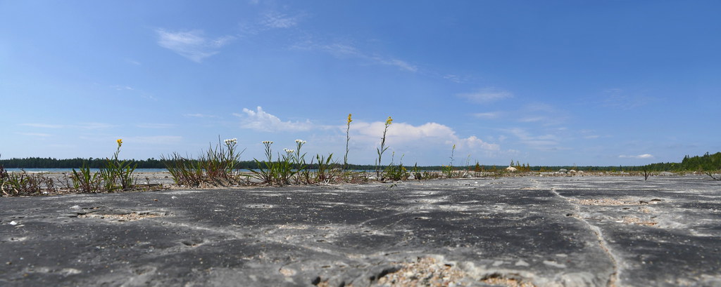
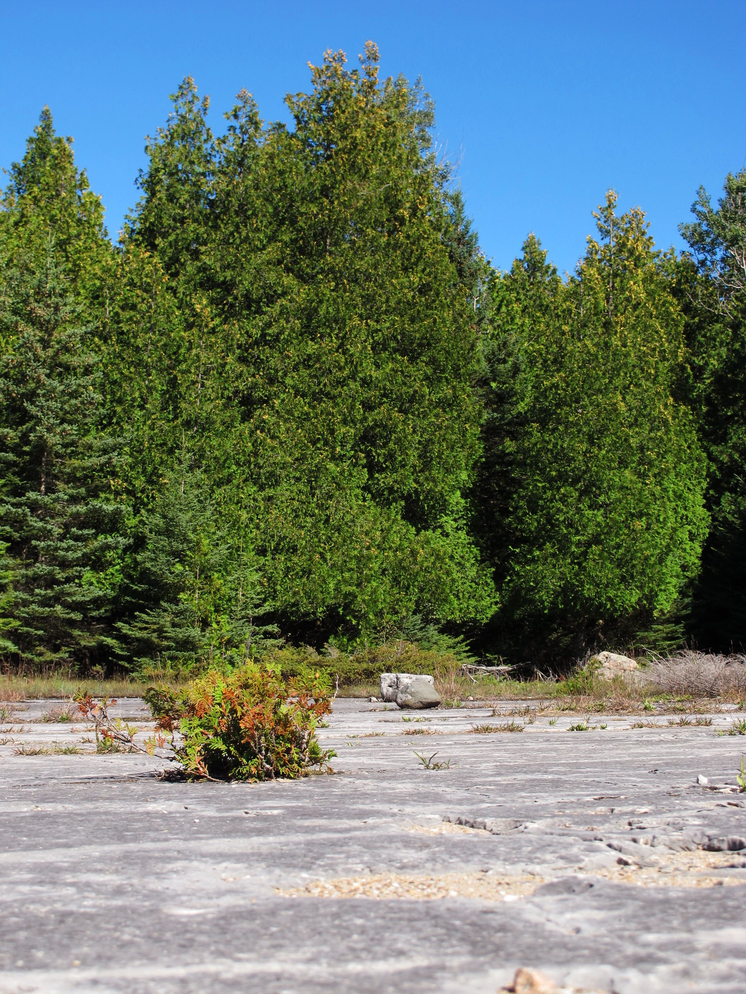
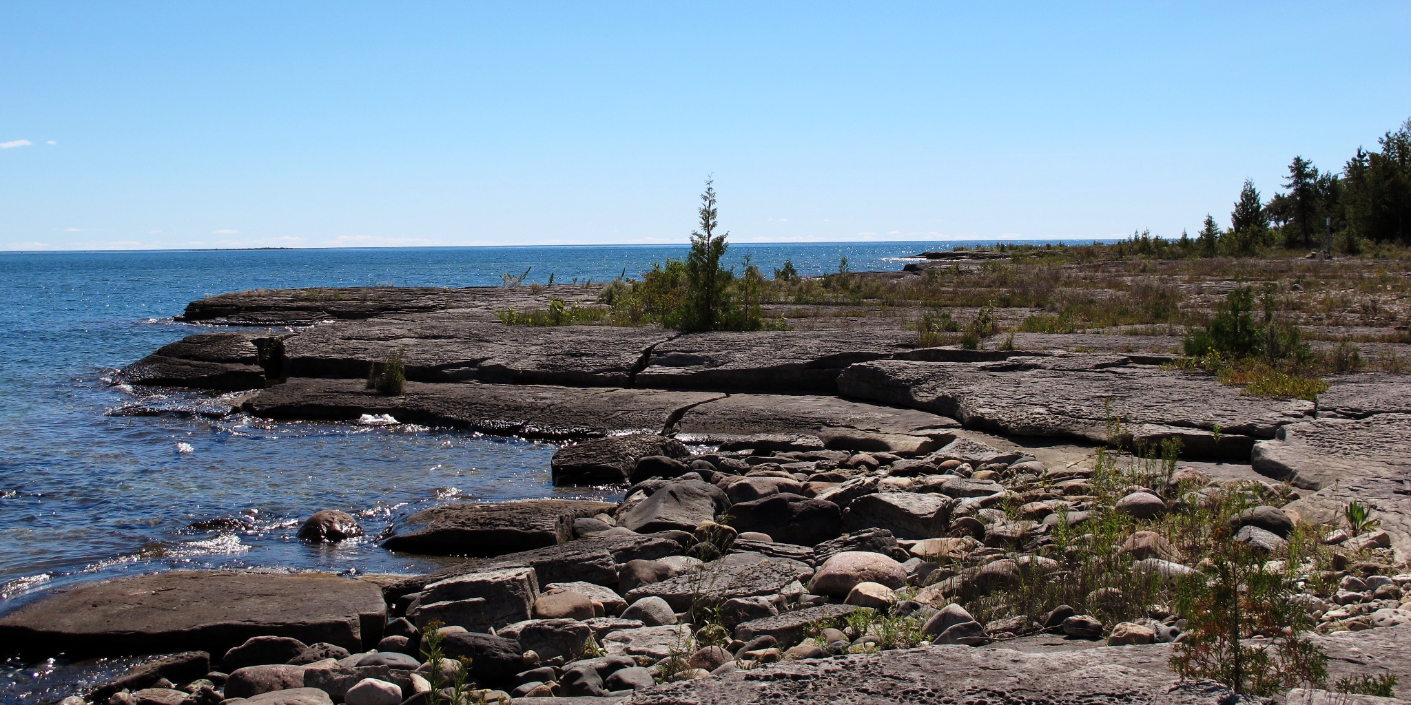
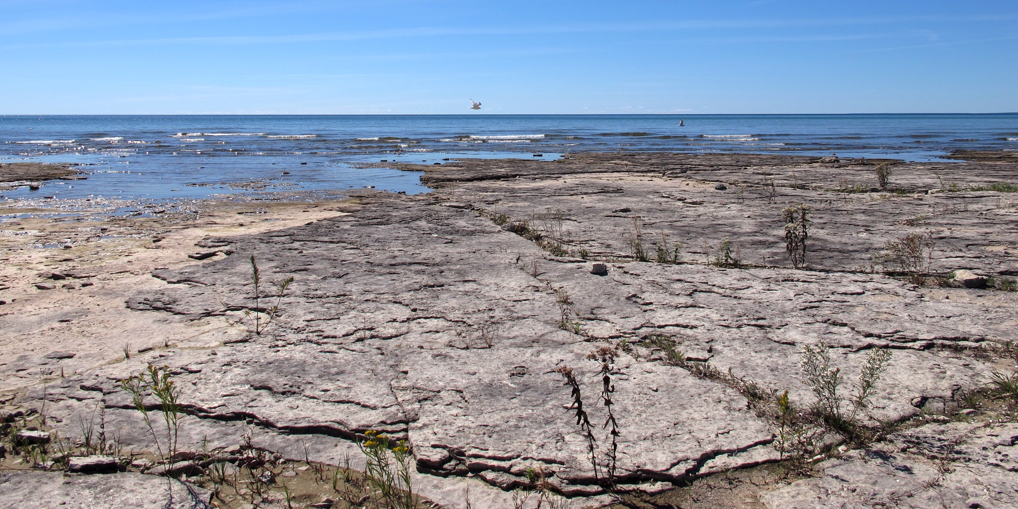
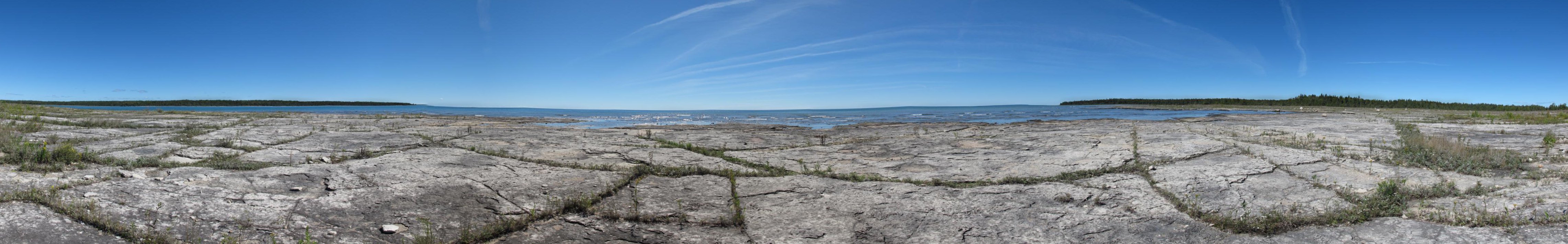
Pavement at Misery Bay
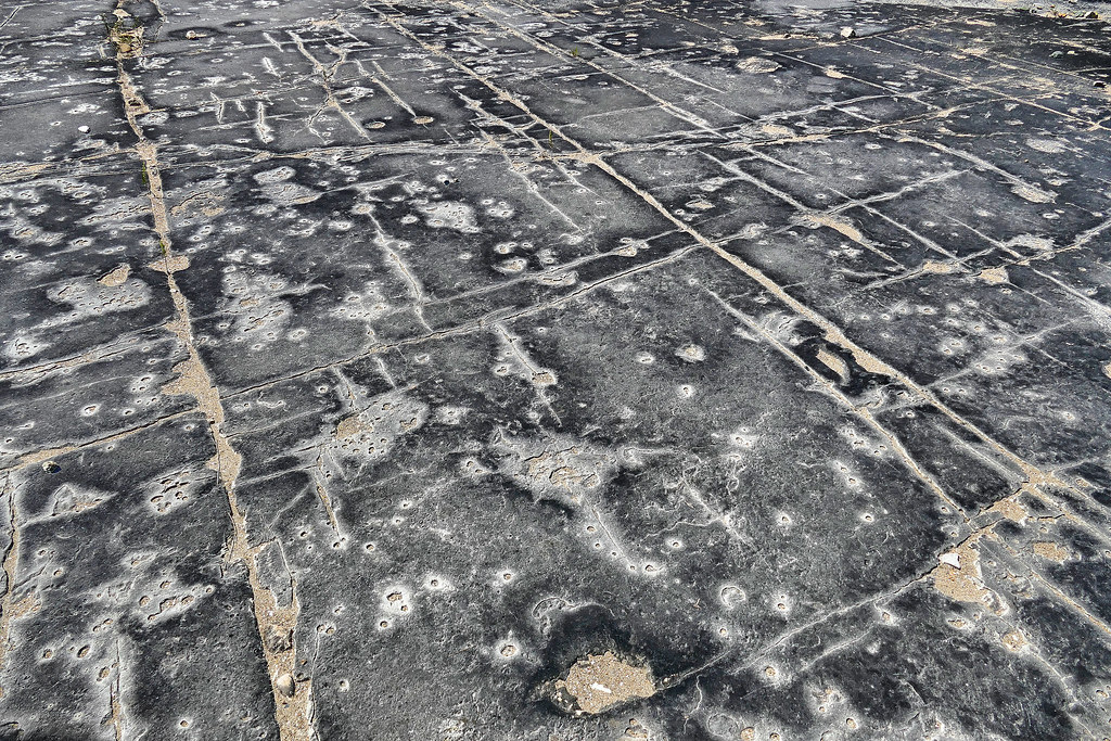
Patterned pavement

Right leaning
Roadside Panorama
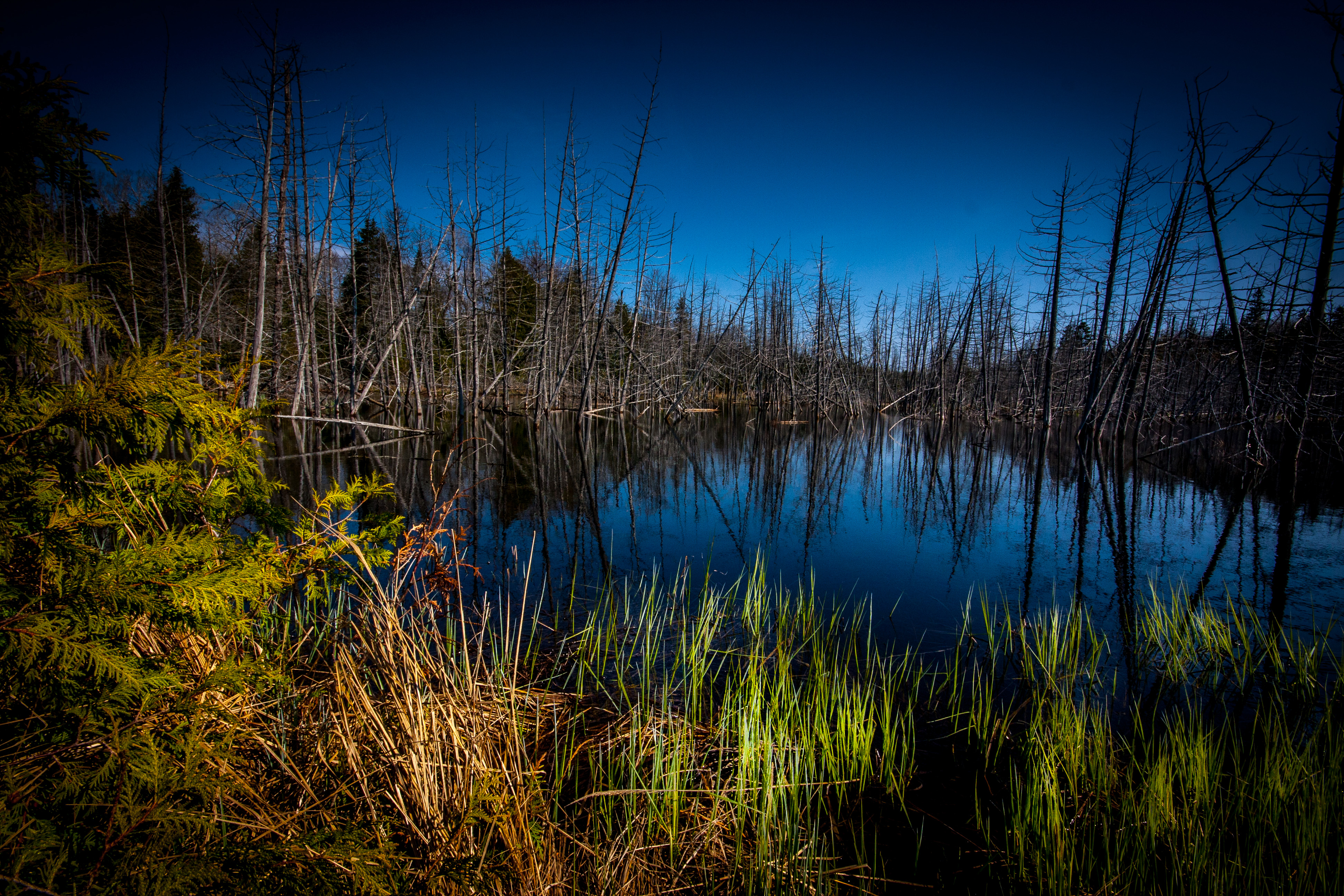
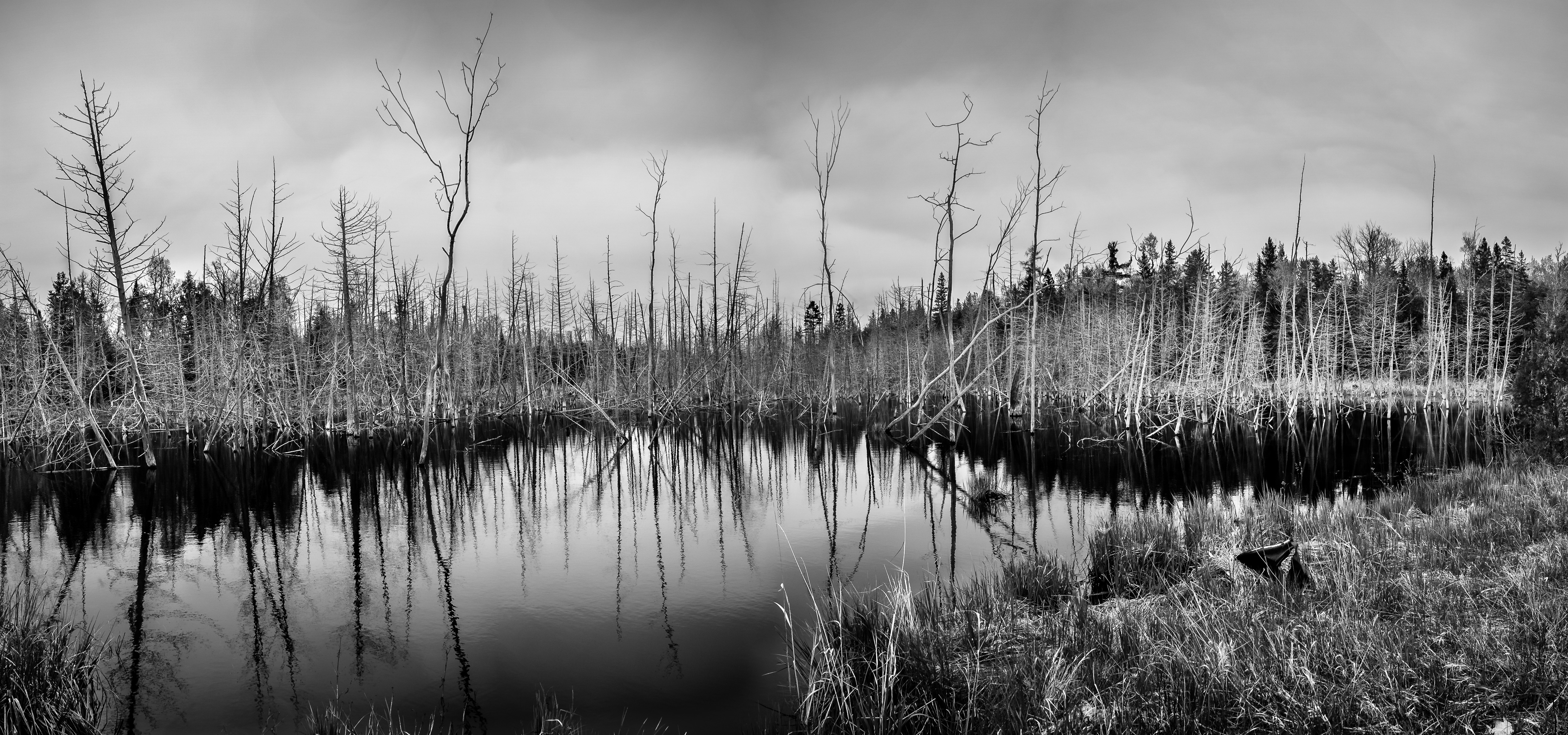
Beaver Meadow
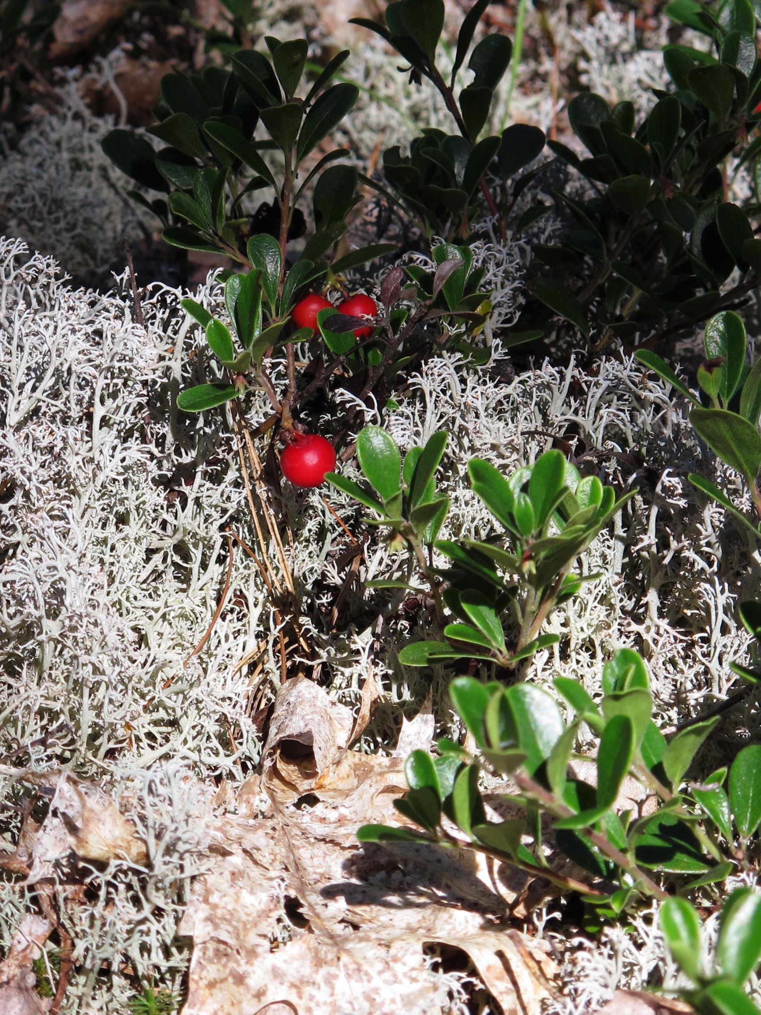
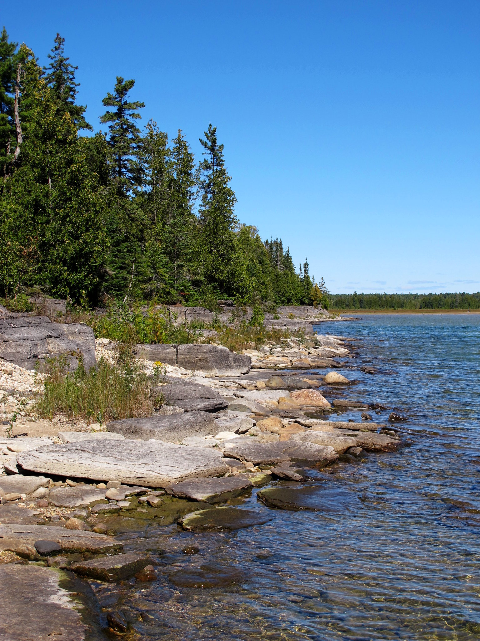
Misery Bay 1
Misery Bay 2
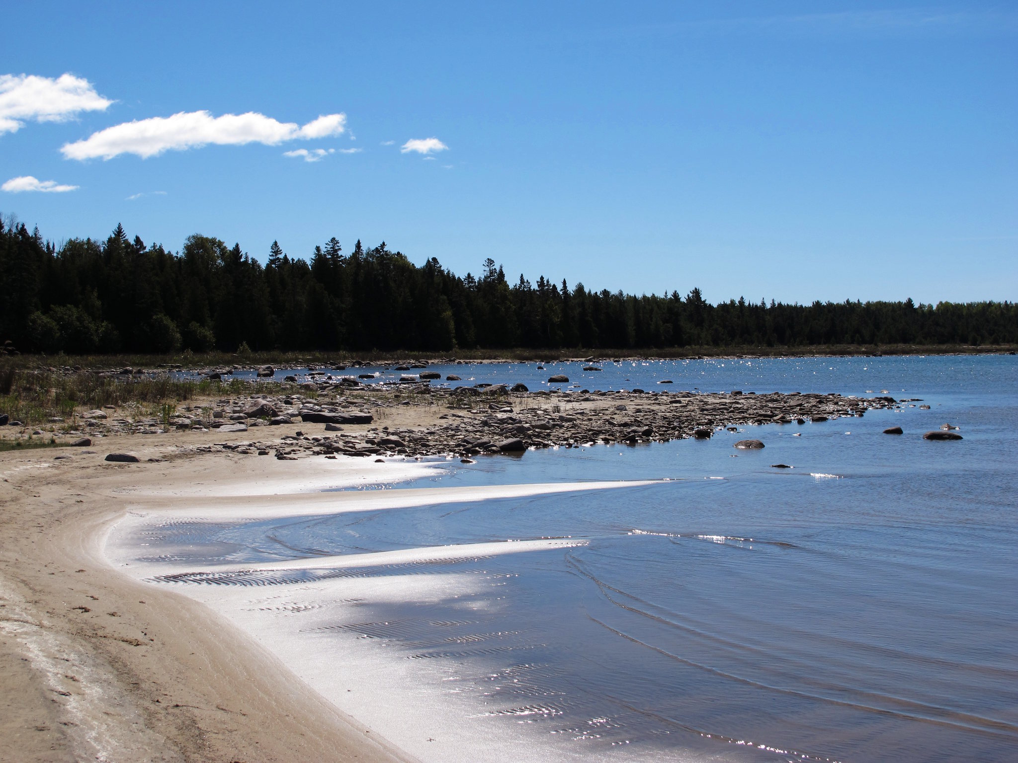
Misery Bay 3
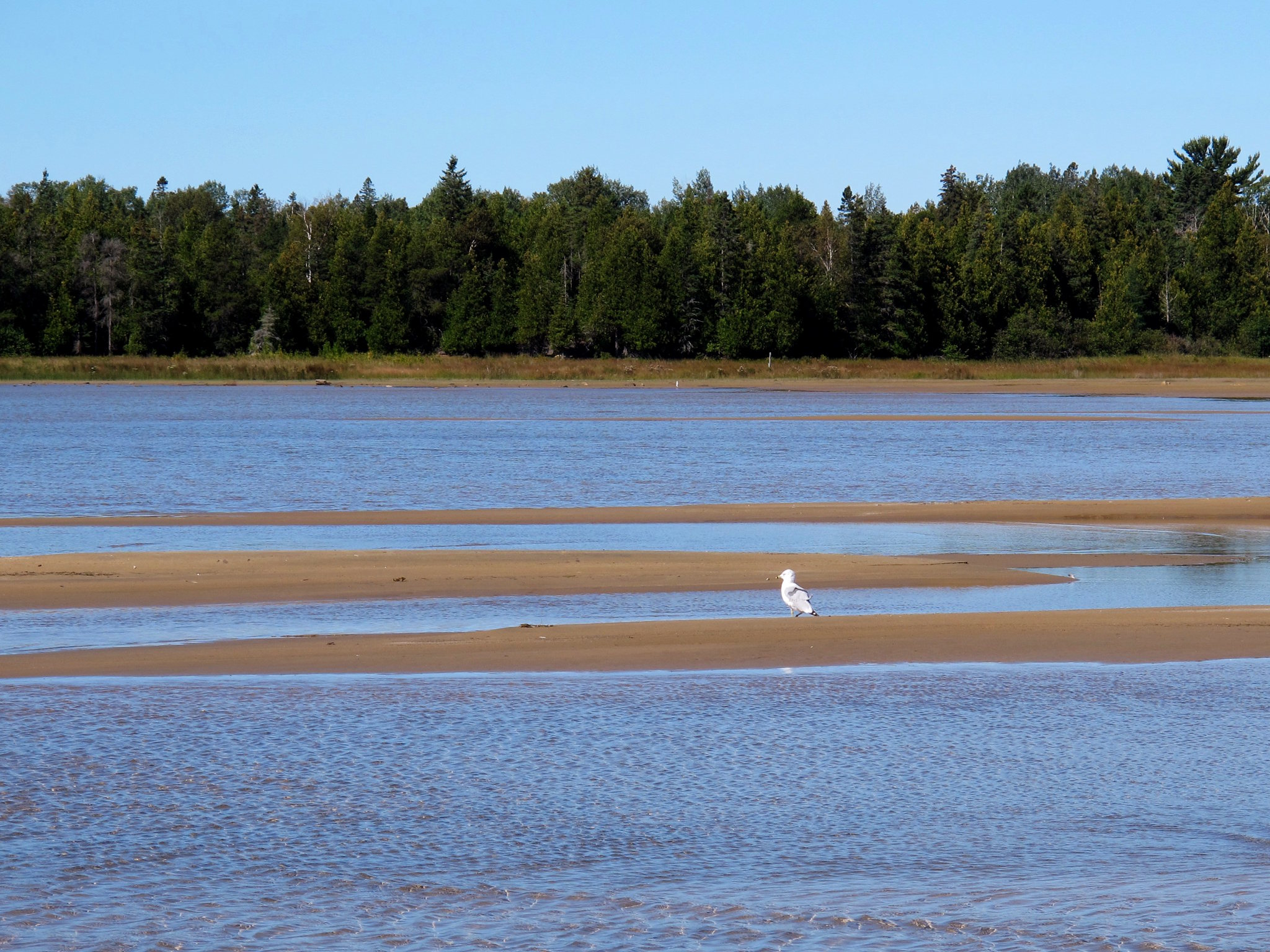
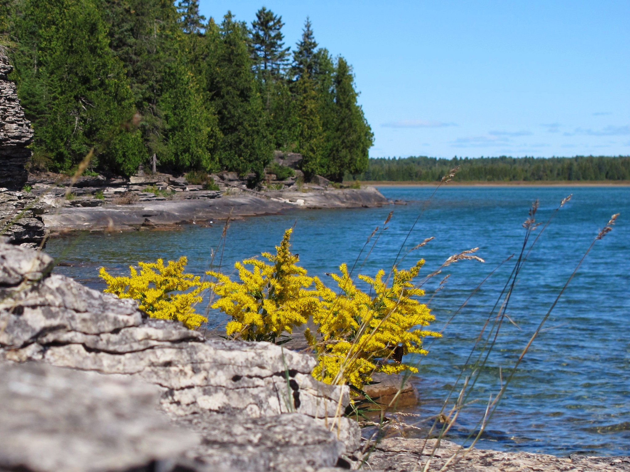
Misery Bay 4

Misery Bay 5

Misery Bay 6
Misery Bay 7
Misery Bay 8
Misery Bay 9
Misery Bay 10
Misery Bay 11
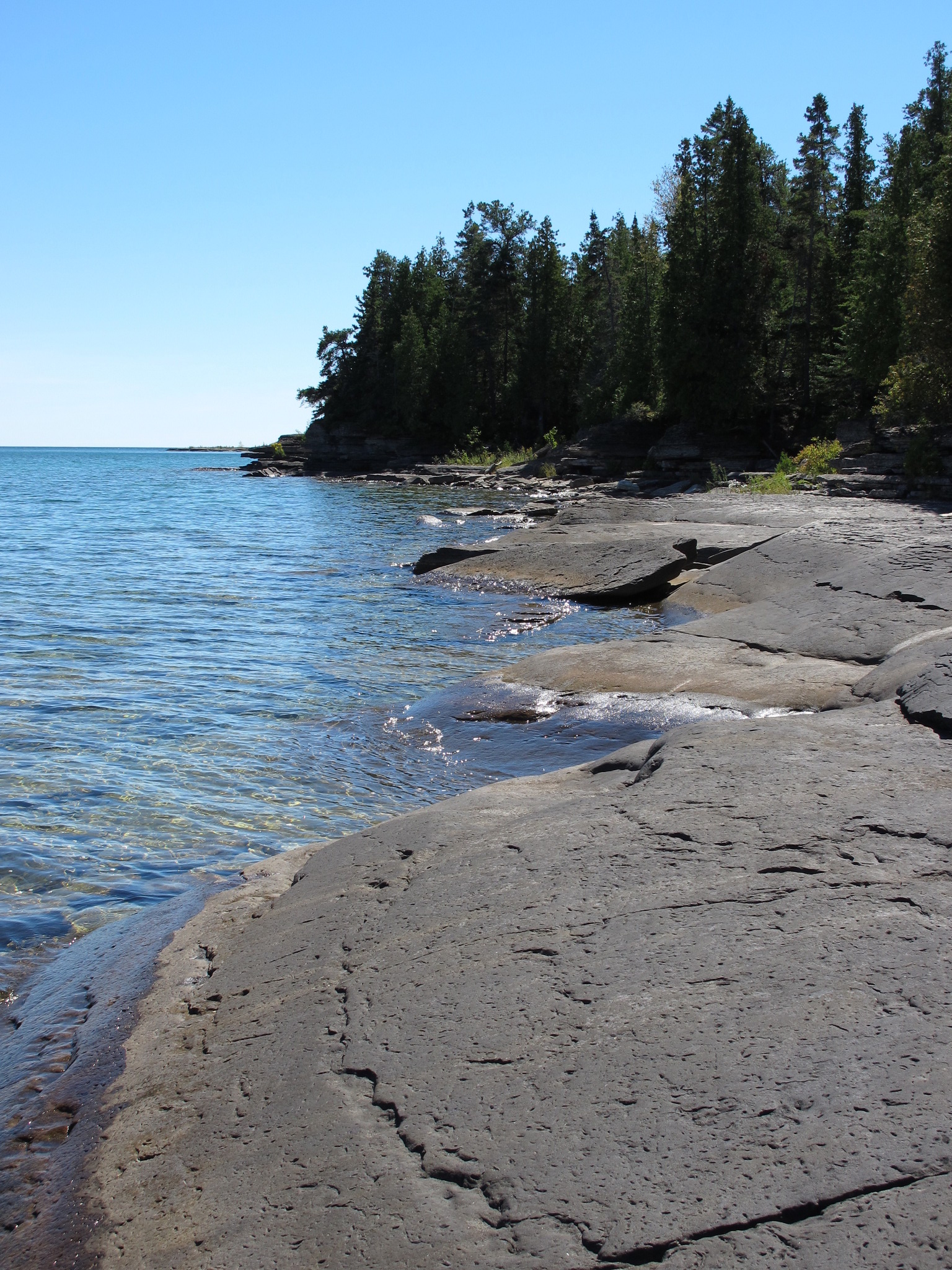
Misery Bay 12

Bridal Veil Falls Map, Manitoulin Island
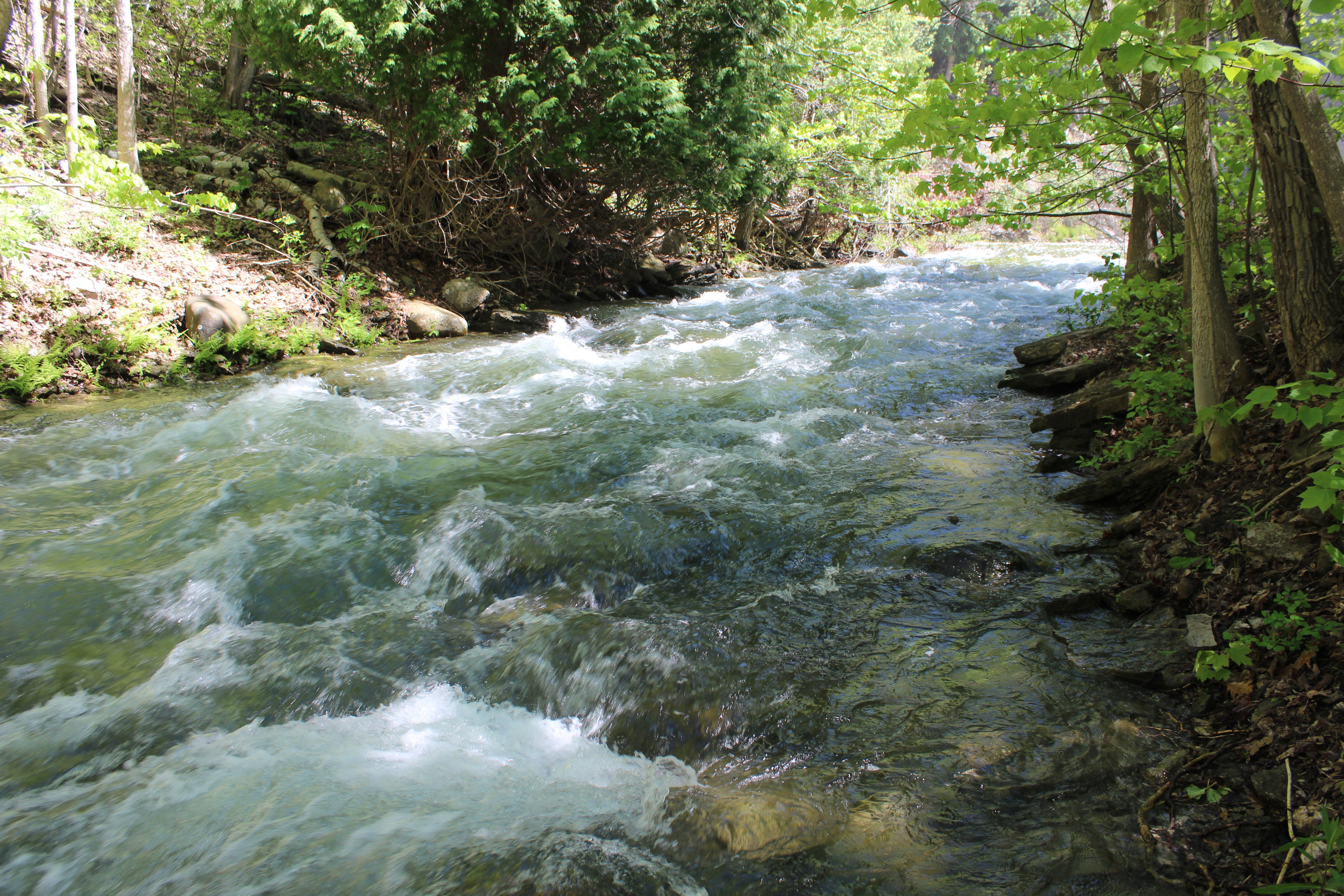
Stream below Bridal Falls, Manitoulin Island

Stream below Bridal Falls, Manitoulin Island
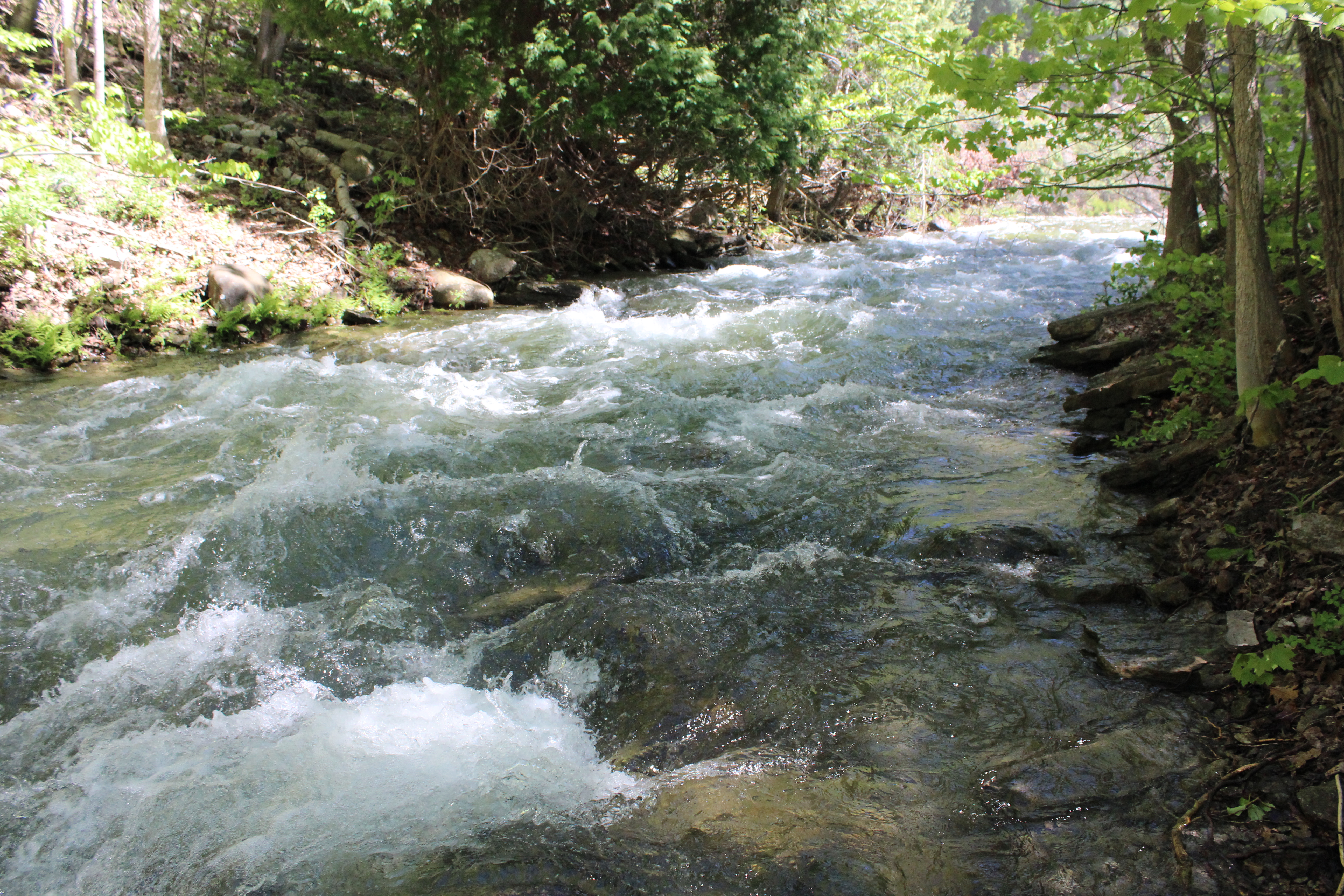
Stream below Bridal Falls, Manitoulin Island
Mapa de Silver Water, ON P0P, Canadá
Buscar otro lugar
Lugares cercanos
ON-, Silver Water, ON P0P 1Y0, Canadá
Manitoulin, Unorganized, West Part, ON, Canadá
Evansville, ON P0P 1E0, Canadá
Bailey Line Rd, Evansville, ON P0P 1E0, Canadá
Burpee and Mills, ON, Canadá
Evansville, ON P0P, Canadá
Mel Lake Rd, Blind River, ON P0R 1B0, Canadá
Blind River, ON P0R 1B0, Canadá
Vivian Blvd, Blind River, ON P0R 1B0, Canadá
Algoma Mills, ON P0R, Canadá
Algoma Mills, ON P0R 1A0, Canadá
Blind River, ON, Canadá
Long St, Spragge, ON P0R 1K0, Canadá
Gore Bay, ON P0P 1H0, Canadá
North Shore, ON, Canadá
Spragge, ON P0P, Canadá
Gordon, ON, Canadá
Serpent River, ON P0P, Canadá
Spring Bay, ON P0P 2B0, Canadá
Bouck Road, Bouck Rd, Elliot Lake, ON P5A, Canadá
Búsquedas recientes
- Horas de salida y puesta de sol de Red Dog Mine, AK, USA
- Horas de salida y puesta de sol de Am Bahnhof, Am bhf, Borken, Germany
- Horas de salida y puesta de sol de 4th St E, Sonoma, CA, EE. UU.
- Horas de salida y puesta de sol de Oakland Ave, Williamsport, PA, EE. UU.
- Horas de salida y puesta de sol de Via Roma, Pieranica CR, Italia
- Horas de salida y puesta de sol de Torre del reloj, Grad, Dubrovnik (Ragusa), Croacia
- Horas de salida y puesta de sol de Trelew, Chubut, Argentina
- Horas de salida y puesta de sol de Hartfords Bluff Cir, Mt Pleasant, SC, EE. UU.
- Horas de salida y puesta de sol de Kita Ward, Kumamoto, Japón
- Horas de salida y puesta de sol de Pingtan Island, Pingtan County, Fuzhou, China