Horas de salida y puesta de sol de SE 25th St, Columbus, KS, EE. UU.
Location: Estados Unidos > Kansas > Condado de Cherokee > Municipio de Spring Valley >
Zona horaria:
America/Chicago
Hora local:
2025-06-22 23:52:11
Longitud:
-94.7861813
Latitud:
37.0942511
Salida de sol de hoy:
06:00:12 AM
Puesta de sol de hoy:
08:42:53 PM
La duración del día hoy:
14h 42m 41s
Salida de sol de mañana:
06:00:30 AM
Puesta de sol de mañana:
08:43:00 PM
La duración del día mañana:
14h 42m 30s
Mostrar todas las fechas
| Fecha | Salida de sol | Puesta de sol | Duración del día |
|---|---|---|---|
| 01/01/2025 | 07:32:46 AM | 05:13:49 PM | 9h 41m 3s |
| 02/01/2025 | 07:32:52 AM | 05:14:39 PM | 9h 41m 47s |
| 03/01/2025 | 07:32:56 AM | 05:15:29 PM | 9h 42m 33s |
| 04/01/2025 | 07:32:58 AM | 05:16:21 PM | 9h 43m 23s |
| 05/01/2025 | 07:32:58 AM | 05:17:14 PM | 9h 44m 16s |
| 06/01/2025 | 07:32:55 AM | 05:18:08 PM | 9h 45m 13s |
| 07/01/2025 | 07:32:51 AM | 05:19:03 PM | 9h 46m 12s |
| 08/01/2025 | 07:32:45 AM | 05:19:58 PM | 9h 47m 13s |
| 09/01/2025 | 07:32:36 AM | 05:20:55 PM | 9h 48m 19s |
| 10/01/2025 | 07:32:26 AM | 05:21:53 PM | 9h 49m 27s |
| 11/01/2025 | 07:32:14 AM | 05:22:52 PM | 9h 50m 38s |
| 12/01/2025 | 07:31:59 AM | 05:23:51 PM | 9h 51m 52s |
| 13/01/2025 | 07:31:43 AM | 05:24:51 PM | 9h 53m 8s |
| 14/01/2025 | 07:31:25 AM | 05:25:52 PM | 9h 54m 27s |
| 15/01/2025 | 07:31:04 AM | 05:26:53 PM | 9h 55m 49s |
| 16/01/2025 | 07:30:42 AM | 05:27:55 PM | 9h 57m 13s |
| 17/01/2025 | 07:30:18 AM | 05:28:57 PM | 9h 58m 39s |
| 18/01/2025 | 07:29:51 AM | 05:30:00 PM | 10h 0m 9s |
| 19/01/2025 | 07:29:23 AM | 05:31:04 PM | 10h 1m 41s |
| 20/01/2025 | 07:28:53 AM | 05:32:07 PM | 10h 3m 14s |
| 21/01/2025 | 07:28:21 AM | 05:33:12 PM | 10h 4m 51s |
| 22/01/2025 | 07:27:47 AM | 05:34:16 PM | 10h 6m 29s |
| 23/01/2025 | 07:27:12 AM | 05:35:21 PM | 10h 8m 9s |
| 24/01/2025 | 07:26:34 AM | 05:36:26 PM | 10h 9m 52s |
| 25/01/2025 | 07:25:55 AM | 05:37:31 PM | 10h 11m 36s |
| 26/01/2025 | 07:25:14 AM | 05:38:36 PM | 10h 13m 22s |
| 27/01/2025 | 07:24:31 AM | 05:39:41 PM | 10h 15m 10s |
| 28/01/2025 | 07:23:47 AM | 05:40:47 PM | 10h 17m 0s |
| 29/01/2025 | 07:23:01 AM | 05:41:52 PM | 10h 18m 51s |
| 30/01/2025 | 07:22:13 AM | 05:42:58 PM | 10h 20m 45s |
| 31/01/2025 | 07:21:24 AM | 05:44:03 PM | 10h 22m 39s |
| 01/02/2025 | 07:20:33 AM | 05:45:09 PM | 10h 24m 36s |
| 02/02/2025 | 07:19:40 AM | 05:46:14 PM | 10h 26m 34s |
| 03/02/2025 | 07:18:46 AM | 05:47:20 PM | 10h 28m 34s |
| 04/02/2025 | 07:17:51 AM | 05:48:25 PM | 10h 30m 34s |
| 05/02/2025 | 07:16:54 AM | 05:49:30 PM | 10h 32m 36s |
| 06/02/2025 | 07:15:55 AM | 05:50:35 PM | 10h 34m 40s |
| 07/02/2025 | 07:14:55 AM | 05:51:39 PM | 10h 36m 44s |
| 08/02/2025 | 07:13:54 AM | 05:52:44 PM | 10h 38m 50s |
| 09/02/2025 | 07:12:51 AM | 05:53:48 PM | 10h 40m 57s |
| 10/02/2025 | 07:11:48 AM | 05:54:52 PM | 10h 43m 4s |
| 11/02/2025 | 07:10:42 AM | 05:55:56 PM | 10h 45m 14s |
| 12/02/2025 | 07:09:36 AM | 05:57:00 PM | 10h 47m 24s |
| 13/02/2025 | 07:08:28 AM | 05:58:03 PM | 10h 49m 35s |
| 14/02/2025 | 07:07:20 AM | 05:59:06 PM | 10h 51m 46s |
| 15/02/2025 | 07:06:10 AM | 06:00:09 PM | 10h 53m 59s |
| 16/02/2025 | 07:04:59 AM | 06:01:11 PM | 10h 56m 12s |
| 17/02/2025 | 07:03:47 AM | 06:02:13 PM | 10h 58m 26s |
| 18/02/2025 | 07:02:33 AM | 06:03:15 PM | 11h 0m 42s |
| 19/02/2025 | 07:01:19 AM | 06:04:17 PM | 11h 2m 58s |
| 20/02/2025 | 07:00:04 AM | 06:05:18 PM | 11h 5m 14s |
| 21/02/2025 | 06:58:48 AM | 06:06:19 PM | 11h 7m 31s |
| 22/02/2025 | 06:57:31 AM | 06:07:19 PM | 11h 9m 48s |
| 23/02/2025 | 06:56:13 AM | 06:08:19 PM | 11h 12m 6s |
| 24/02/2025 | 06:54:55 AM | 06:09:19 PM | 11h 14m 24s |
| 25/02/2025 | 06:53:35 AM | 06:10:19 PM | 11h 16m 44s |
| 26/02/2025 | 06:52:15 AM | 06:11:18 PM | 11h 19m 3s |
| 27/02/2025 | 06:50:54 AM | 06:12:17 PM | 11h 21m 23s |
| 28/02/2025 | 06:49:32 AM | 06:13:15 PM | 11h 23m 43s |
| 01/03/2025 | 06:48:09 AM | 06:14:14 PM | 11h 26m 5s |
| 02/03/2025 | 06:46:46 AM | 06:15:12 PM | 11h 28m 26s |
| 03/03/2025 | 06:45:23 AM | 06:16:09 PM | 11h 30m 46s |
| 04/03/2025 | 06:43:58 AM | 06:17:07 PM | 11h 33m 9s |
| 05/03/2025 | 06:42:33 AM | 06:18:04 PM | 11h 35m 31s |
| 06/03/2025 | 06:41:08 AM | 06:19:01 PM | 11h 37m 53s |
| 07/03/2025 | 06:39:42 AM | 06:19:57 PM | 11h 40m 15s |
| 08/03/2025 | 06:38:16 AM | 06:20:53 PM | 11h 42m 37s |
| 09/03/2025 | 07:36:53 AM | 07:21:47 PM | 11h 44m 54s |
| 10/03/2025 | 07:35:25 AM | 07:22:43 PM | 11h 47m 18s |
| 11/03/2025 | 07:33:58 AM | 07:23:38 PM | 11h 49m 40s |
| 12/03/2025 | 07:32:30 AM | 07:24:34 PM | 11h 52m 4s |
| 13/03/2025 | 07:31:02 AM | 07:25:29 PM | 11h 54m 27s |
| 14/03/2025 | 07:29:33 AM | 07:26:24 PM | 11h 56m 51s |
| 15/03/2025 | 07:28:05 AM | 07:27:18 PM | 11h 59m 13s |
| 16/03/2025 | 07:26:36 AM | 07:28:13 PM | 12h 1m 37s |
| 17/03/2025 | 07:25:07 AM | 07:29:07 PM | 12h 4m 0s |
| 18/03/2025 | 07:23:37 AM | 07:30:02 PM | 12h 6m 25s |
| 19/03/2025 | 07:22:08 AM | 07:30:56 PM | 12h 8m 48s |
| 20/03/2025 | 07:20:38 AM | 07:31:49 PM | 12h 11m 11s |
| 21/03/2025 | 07:19:09 AM | 07:32:43 PM | 12h 13m 34s |
| 22/03/2025 | 07:17:39 AM | 07:33:37 PM | 12h 15m 58s |
| 23/03/2025 | 07:16:10 AM | 07:34:30 PM | 12h 18m 20s |
| 24/03/2025 | 07:14:40 AM | 07:35:24 PM | 12h 20m 44s |
| 25/03/2025 | 07:13:10 AM | 07:36:17 PM | 12h 23m 7s |
| 26/03/2025 | 07:11:41 AM | 07:37:10 PM | 12h 25m 29s |
| 27/03/2025 | 07:10:12 AM | 07:38:04 PM | 12h 27m 52s |
| 28/03/2025 | 07:08:42 AM | 07:38:57 PM | 12h 30m 15s |
| 29/03/2025 | 07:07:13 AM | 07:39:50 PM | 12h 32m 37s |
| 30/03/2025 | 07:05:45 AM | 07:40:43 PM | 12h 34m 58s |
| 31/03/2025 | 07:04:16 AM | 07:41:36 PM | 12h 37m 20s |
| 01/04/2025 | 07:02:48 AM | 07:42:29 PM | 12h 39m 41s |
| 02/04/2025 | 07:01:19 AM | 07:43:22 PM | 12h 42m 3s |
| 03/04/2025 | 06:59:52 AM | 07:44:15 PM | 12h 44m 23s |
| 04/04/2025 | 06:58:24 AM | 07:45:08 PM | 12h 46m 44s |
| 05/04/2025 | 06:56:57 AM | 07:46:01 PM | 12h 49m 4s |
| 06/04/2025 | 06:55:31 AM | 07:46:54 PM | 12h 51m 23s |
| 07/04/2025 | 06:54:04 AM | 07:47:47 PM | 12h 53m 43s |
| 08/04/2025 | 06:52:39 AM | 07:48:40 PM | 12h 56m 1s |
| 09/04/2025 | 06:51:13 AM | 07:49:33 PM | 12h 58m 20s |
| 10/04/2025 | 06:49:49 AM | 07:50:26 PM | 13h 0m 37s |
| 11/04/2025 | 06:48:25 AM | 07:51:19 PM | 13h 2m 54s |
| 12/04/2025 | 06:47:01 AM | 07:52:12 PM | 13h 5m 11s |
| 13/04/2025 | 06:45:38 AM | 07:53:05 PM | 13h 7m 27s |
| 14/04/2025 | 06:44:16 AM | 07:53:59 PM | 13h 9m 43s |
| 15/04/2025 | 06:42:54 AM | 07:54:52 PM | 13h 11m 58s |
| 16/04/2025 | 06:41:33 AM | 07:55:45 PM | 13h 14m 12s |
| 17/04/2025 | 06:40:13 AM | 07:56:39 PM | 13h 16m 26s |
| 18/04/2025 | 06:38:53 AM | 07:57:32 PM | 13h 18m 39s |
| 19/04/2025 | 06:37:35 AM | 07:58:26 PM | 13h 20m 51s |
| 20/04/2025 | 06:36:17 AM | 07:59:19 PM | 13h 23m 2s |
| 21/04/2025 | 06:35:00 AM | 08:00:13 PM | 13h 25m 13s |
| 22/04/2025 | 06:33:44 AM | 08:01:07 PM | 13h 27m 23s |
| 23/04/2025 | 06:32:29 AM | 08:02:00 PM | 13h 29m 31s |
| 24/04/2025 | 06:31:14 AM | 08:02:54 PM | 13h 31m 40s |
| 25/04/2025 | 06:30:01 AM | 08:03:47 PM | 13h 33m 46s |
| 26/04/2025 | 06:28:49 AM | 08:04:41 PM | 13h 35m 52s |
| 27/04/2025 | 06:27:38 AM | 08:05:35 PM | 13h 37m 57s |
| 28/04/2025 | 06:26:27 AM | 08:06:28 PM | 13h 40m 1s |
| 29/04/2025 | 06:25:18 AM | 08:07:22 PM | 13h 42m 4s |
| 30/04/2025 | 06:24:10 AM | 08:08:15 PM | 13h 44m 5s |
| 01/05/2025 | 06:23:03 AM | 08:09:09 PM | 13h 46m 6s |
| 02/05/2025 | 06:21:58 AM | 08:10:02 PM | 13h 48m 4s |
| 03/05/2025 | 06:20:53 AM | 08:10:56 PM | 13h 50m 3s |
| 04/05/2025 | 06:19:50 AM | 08:11:49 PM | 13h 51m 59s |
| 05/05/2025 | 06:18:48 AM | 08:12:42 PM | 13h 53m 54s |
| 06/05/2025 | 06:17:47 AM | 08:13:35 PM | 13h 55m 48s |
| 07/05/2025 | 06:16:48 AM | 08:14:27 PM | 13h 57m 39s |
| 08/05/2025 | 06:15:50 AM | 08:15:20 PM | 13h 59m 30s |
| 09/05/2025 | 06:14:53 AM | 08:16:12 PM | 14h 1m 19s |
| 10/05/2025 | 06:13:58 AM | 08:17:04 PM | 14h 3m 6s |
| 11/05/2025 | 06:13:04 AM | 08:17:56 PM | 14h 4m 52s |
| 12/05/2025 | 06:12:12 AM | 08:18:48 PM | 14h 6m 36s |
| 13/05/2025 | 06:11:21 AM | 08:19:39 PM | 14h 8m 18s |
| 14/05/2025 | 06:10:31 AM | 08:20:30 PM | 14h 9m 59s |
| 15/05/2025 | 06:09:43 AM | 08:21:20 PM | 14h 11m 37s |
| 16/05/2025 | 06:08:57 AM | 08:22:10 PM | 14h 13m 13s |
| 17/05/2025 | 06:08:12 AM | 08:23:00 PM | 14h 14m 48s |
| 18/05/2025 | 06:07:28 AM | 08:23:49 PM | 14h 16m 21s |
| 19/05/2025 | 06:06:47 AM | 08:24:37 PM | 14h 17m 50s |
| 20/05/2025 | 06:06:07 AM | 08:25:25 PM | 14h 19m 18s |
| 21/05/2025 | 06:05:28 AM | 08:26:13 PM | 14h 20m 45s |
| 22/05/2025 | 06:04:51 AM | 08:27:00 PM | 14h 22m 9s |
| 23/05/2025 | 06:04:16 AM | 08:27:46 PM | 14h 23m 30s |
| 24/05/2025 | 06:03:42 AM | 08:28:31 PM | 14h 24m 49s |
| 25/05/2025 | 06:03:11 AM | 08:29:16 PM | 14h 26m 5s |
| 26/05/2025 | 06:02:41 AM | 08:30:00 PM | 14h 27m 19s |
| 27/05/2025 | 06:02:12 AM | 08:30:44 PM | 14h 28m 32s |
| 28/05/2025 | 06:01:46 AM | 08:31:26 PM | 14h 29m 40s |
| 29/05/2025 | 06:01:21 AM | 08:32:08 PM | 14h 30m 47s |
| 30/05/2025 | 06:00:57 AM | 08:32:48 PM | 14h 31m 51s |
| 31/05/2025 | 06:00:36 AM | 08:33:28 PM | 14h 32m 52s |
| 01/06/2025 | 06:00:16 AM | 08:34:07 PM | 14h 33m 51s |
| 02/06/2025 | 05:59:58 AM | 08:34:45 PM | 14h 34m 47s |
| 03/06/2025 | 05:59:42 AM | 08:35:21 PM | 14h 35m 39s |
| 04/06/2025 | 05:59:28 AM | 08:35:57 PM | 14h 36m 29s |
| 05/06/2025 | 05:59:15 AM | 08:36:31 PM | 14h 37m 16s |
| 06/06/2025 | 05:59:05 AM | 08:37:04 PM | 14h 37m 59s |
| 07/06/2025 | 05:58:56 AM | 08:37:36 PM | 14h 38m 40s |
| 08/06/2025 | 05:58:48 AM | 08:38:07 PM | 14h 39m 19s |
| 09/06/2025 | 05:58:43 AM | 08:38:37 PM | 14h 39m 54s |
| 10/06/2025 | 05:58:39 AM | 08:39:05 PM | 14h 40m 26s |
| 11/06/2025 | 05:58:37 AM | 08:39:32 PM | 14h 40m 55s |
| 12/06/2025 | 05:58:36 AM | 08:39:57 PM | 14h 41m 21s |
| 13/06/2025 | 05:58:38 AM | 08:40:21 PM | 14h 41m 43s |
| 14/06/2025 | 05:58:41 AM | 08:40:44 PM | 14h 42m 3s |
| 15/06/2025 | 05:58:46 AM | 08:41:05 PM | 14h 42m 19s |
| 16/06/2025 | 05:58:52 AM | 08:41:24 PM | 14h 42m 32s |
| 17/06/2025 | 05:59:00 AM | 08:41:43 PM | 14h 42m 43s |
| 18/06/2025 | 05:59:10 AM | 08:41:59 PM | 14h 42m 49s |
| 19/06/2025 | 05:59:21 AM | 08:42:14 PM | 14h 42m 53s |
| 20/06/2025 | 05:59:34 AM | 08:42:27 PM | 14h 42m 53s |
| 21/06/2025 | 05:59:48 AM | 08:42:39 PM | 14h 42m 51s |
| 22/06/2025 | 06:00:04 AM | 08:42:49 PM | 14h 42m 45s |
| 23/06/2025 | 06:00:22 AM | 08:42:57 PM | 14h 42m 35s |
| 24/06/2025 | 06:00:41 AM | 08:43:04 PM | 14h 42m 23s |
| 25/06/2025 | 06:01:01 AM | 08:43:09 PM | 14h 42m 8s |
| 26/06/2025 | 06:01:23 AM | 08:43:12 PM | 14h 41m 49s |
| 27/06/2025 | 06:01:46 AM | 08:43:13 PM | 14h 41m 27s |
| 28/06/2025 | 06:02:11 AM | 08:43:13 PM | 14h 41m 2s |
| 29/06/2025 | 06:02:36 AM | 08:43:11 PM | 14h 40m 35s |
| 30/06/2025 | 06:03:04 AM | 08:43:07 PM | 14h 40m 3s |
| 01/07/2025 | 06:03:32 AM | 08:43:01 PM | 14h 39m 29s |
| 02/07/2025 | 06:04:02 AM | 08:42:53 PM | 14h 38m 51s |
| 03/07/2025 | 06:04:32 AM | 08:42:44 PM | 14h 38m 12s |
| 04/07/2025 | 06:05:04 AM | 08:42:33 PM | 14h 37m 29s |
| 05/07/2025 | 06:05:37 AM | 08:42:20 PM | 14h 36m 43s |
| 06/07/2025 | 06:06:12 AM | 08:42:05 PM | 14h 35m 53s |
| 07/07/2025 | 06:06:47 AM | 08:41:49 PM | 14h 35m 2s |
| 08/07/2025 | 06:07:23 AM | 08:41:30 PM | 14h 34m 7s |
| 09/07/2025 | 06:08:00 AM | 08:41:10 PM | 14h 33m 10s |
| 10/07/2025 | 06:08:38 AM | 08:40:48 PM | 14h 32m 10s |
| 11/07/2025 | 06:09:17 AM | 08:40:24 PM | 14h 31m 7s |
| 12/07/2025 | 06:09:57 AM | 08:39:59 PM | 14h 30m 2s |
| 13/07/2025 | 06:10:37 AM | 08:39:31 PM | 14h 28m 54s |
| 14/07/2025 | 06:11:19 AM | 08:39:02 PM | 14h 27m 43s |
| 15/07/2025 | 06:12:01 AM | 08:38:32 PM | 14h 26m 31s |
| 16/07/2025 | 06:12:43 AM | 08:37:59 PM | 14h 25m 16s |
| 17/07/2025 | 06:13:27 AM | 08:37:25 PM | 14h 23m 58s |
| 18/07/2025 | 06:14:11 AM | 08:36:49 PM | 14h 22m 38s |
| 19/07/2025 | 06:14:55 AM | 08:36:11 PM | 14h 21m 16s |
| 20/07/2025 | 06:15:41 AM | 08:35:32 PM | 14h 19m 51s |
| 21/07/2025 | 06:16:26 AM | 08:34:51 PM | 14h 18m 25s |
| 22/07/2025 | 06:17:12 AM | 08:34:08 PM | 14h 16m 56s |
| 23/07/2025 | 06:17:59 AM | 08:33:24 PM | 14h 15m 25s |
| 24/07/2025 | 06:18:46 AM | 08:32:38 PM | 14h 13m 52s |
| 25/07/2025 | 06:19:33 AM | 08:31:50 PM | 14h 12m 17s |
| 26/07/2025 | 06:20:21 AM | 08:31:01 PM | 14h 10m 40s |
| 27/07/2025 | 06:21:09 AM | 08:30:11 PM | 14h 9m 2s |
| 28/07/2025 | 06:21:58 AM | 08:29:19 PM | 14h 7m 21s |
| 29/07/2025 | 06:22:46 AM | 08:28:25 PM | 14h 5m 39s |
| 30/07/2025 | 06:23:35 AM | 08:27:30 PM | 14h 3m 55s |
| 31/07/2025 | 06:24:24 AM | 08:26:34 PM | 14h 2m 10s |
| 01/08/2025 | 06:25:14 AM | 08:25:36 PM | 14h 0m 22s |
| 02/08/2025 | 06:26:03 AM | 08:24:37 PM | 13h 58m 34s |
| 03/08/2025 | 06:26:53 AM | 08:23:36 PM | 13h 56m 43s |
| 04/08/2025 | 06:27:42 AM | 08:22:34 PM | 13h 54m 52s |
| 05/08/2025 | 06:28:32 AM | 08:21:31 PM | 13h 52m 59s |
| 06/08/2025 | 06:29:22 AM | 08:20:26 PM | 13h 51m 4s |
| 07/08/2025 | 06:30:12 AM | 08:19:21 PM | 13h 49m 9s |
| 08/08/2025 | 06:31:02 AM | 08:18:14 PM | 13h 47m 12s |
| 09/08/2025 | 06:31:52 AM | 08:17:06 PM | 13h 45m 14s |
| 10/08/2025 | 06:32:43 AM | 08:15:56 PM | 13h 43m 13s |
| 11/08/2025 | 06:33:33 AM | 08:14:46 PM | 13h 41m 13s |
| 12/08/2025 | 06:34:23 AM | 08:13:34 PM | 13h 39m 11s |
| 13/08/2025 | 06:35:13 AM | 08:12:22 PM | 13h 37m 9s |
| 14/08/2025 | 06:36:03 AM | 08:11:08 PM | 13h 35m 5s |
| 15/08/2025 | 06:36:53 AM | 08:09:53 PM | 13h 33m 0s |
| 16/08/2025 | 06:37:43 AM | 08:08:38 PM | 13h 30m 55s |
| 17/08/2025 | 06:38:33 AM | 08:07:21 PM | 13h 28m 48s |
| 18/08/2025 | 06:39:23 AM | 08:06:03 PM | 13h 26m 40s |
| 19/08/2025 | 06:40:13 AM | 08:04:45 PM | 13h 24m 32s |
| 20/08/2025 | 06:41:02 AM | 08:03:26 PM | 13h 22m 24s |
| 21/08/2025 | 06:41:52 AM | 08:02:06 PM | 13h 20m 14s |
| 22/08/2025 | 06:42:42 AM | 08:00:45 PM | 13h 18m 3s |
| 23/08/2025 | 06:43:31 AM | 07:59:23 PM | 13h 15m 52s |
| 24/08/2025 | 06:44:21 AM | 07:58:00 PM | 13h 13m 39s |
| 25/08/2025 | 06:45:10 AM | 07:56:37 PM | 13h 11m 27s |
| 26/08/2025 | 06:45:59 AM | 07:55:13 PM | 13h 9m 14s |
| 27/08/2025 | 06:46:49 AM | 07:53:48 PM | 13h 6m 59s |
| 28/08/2025 | 06:47:38 AM | 07:52:23 PM | 13h 4m 45s |
| 29/08/2025 | 06:48:27 AM | 07:50:57 PM | 13h 2m 30s |
| 30/08/2025 | 06:49:16 AM | 07:49:31 PM | 13h 0m 15s |
| 31/08/2025 | 06:50:05 AM | 07:48:04 PM | 12h 57m 59s |
| 01/09/2025 | 06:50:54 AM | 07:46:36 PM | 12h 55m 42s |
| 02/09/2025 | 06:51:42 AM | 07:45:08 PM | 12h 53m 26s |
| 03/09/2025 | 06:52:31 AM | 07:43:40 PM | 12h 51m 9s |
| 04/09/2025 | 06:53:20 AM | 07:42:11 PM | 12h 48m 51s |
| 05/09/2025 | 06:54:09 AM | 07:40:42 PM | 12h 46m 33s |
| 06/09/2025 | 06:54:57 AM | 07:39:12 PM | 12h 44m 15s |
| 07/09/2025 | 06:55:46 AM | 07:37:42 PM | 12h 41m 56s |
| 08/09/2025 | 06:56:35 AM | 07:36:12 PM | 12h 39m 37s |
| 09/09/2025 | 06:57:23 AM | 07:34:41 PM | 12h 37m 18s |
| 10/09/2025 | 06:58:12 AM | 07:33:10 PM | 12h 34m 58s |
| 11/09/2025 | 06:59:01 AM | 07:31:39 PM | 12h 32m 38s |
| 12/09/2025 | 06:59:49 AM | 07:30:08 PM | 12h 30m 19s |
| 13/09/2025 | 07:00:38 AM | 07:28:37 PM | 12h 27m 59s |
| 14/09/2025 | 07:01:27 AM | 07:27:05 PM | 12h 25m 38s |
| 15/09/2025 | 07:02:16 AM | 07:25:33 PM | 12h 23m 17s |
| 16/09/2025 | 07:03:04 AM | 07:24:01 PM | 12h 20m 57s |
| 17/09/2025 | 07:03:53 AM | 07:22:30 PM | 12h 18m 37s |
| 18/09/2025 | 07:04:42 AM | 07:20:58 PM | 12h 16m 16s |
| 19/09/2025 | 07:05:32 AM | 07:19:26 PM | 12h 13m 54s |
| 20/09/2025 | 07:06:21 AM | 07:17:54 PM | 12h 11m 33s |
| 21/09/2025 | 07:07:10 AM | 07:16:22 PM | 12h 9m 12s |
| 22/09/2025 | 07:08:00 AM | 07:14:51 PM | 12h 6m 51s |
| 23/09/2025 | 07:08:50 AM | 07:13:19 PM | 12h 4m 29s |
| 24/09/2025 | 07:09:39 AM | 07:11:48 PM | 12h 2m 9s |
| 25/09/2025 | 07:10:29 AM | 07:10:16 PM | 11h 59m 47s |
| 26/09/2025 | 07:11:20 AM | 07:08:45 PM | 11h 57m 25s |
| 27/09/2025 | 07:12:10 AM | 07:07:14 PM | 11h 55m 4s |
| 28/09/2025 | 07:13:01 AM | 07:05:44 PM | 11h 52m 43s |
| 29/09/2025 | 07:13:51 AM | 07:04:14 PM | 11h 50m 23s |
| 30/09/2025 | 07:14:42 AM | 07:02:44 PM | 11h 48m 2s |
| 01/10/2025 | 07:15:34 AM | 07:01:14 PM | 11h 45m 40s |
| 02/10/2025 | 07:16:25 AM | 06:59:45 PM | 11h 43m 20s |
| 03/10/2025 | 07:17:17 AM | 06:58:16 PM | 11h 40m 59s |
| 04/10/2025 | 07:18:09 AM | 06:56:48 PM | 11h 38m 39s |
| 05/10/2025 | 07:19:02 AM | 06:55:20 PM | 11h 36m 18s |
| 06/10/2025 | 07:19:54 AM | 06:53:53 PM | 11h 33m 59s |
| 07/10/2025 | 07:20:47 AM | 06:52:26 PM | 11h 31m 39s |
| 08/10/2025 | 07:21:40 AM | 06:51:00 PM | 11h 29m 20s |
| 09/10/2025 | 07:22:34 AM | 06:49:34 PM | 11h 27m 0s |
| 10/10/2025 | 07:23:28 AM | 06:48:10 PM | 11h 24m 42s |
| 11/10/2025 | 07:24:22 AM | 06:46:45 PM | 11h 22m 23s |
| 12/10/2025 | 07:25:16 AM | 06:45:22 PM | 11h 20m 6s |
| 13/10/2025 | 07:26:11 AM | 06:43:59 PM | 11h 17m 48s |
| 14/10/2025 | 07:27:07 AM | 06:42:37 PM | 11h 15m 30s |
| 15/10/2025 | 07:28:02 AM | 06:41:15 PM | 11h 13m 13s |
| 16/10/2025 | 07:28:58 AM | 06:39:55 PM | 11h 10m 57s |
| 17/10/2025 | 07:29:54 AM | 06:38:35 PM | 11h 8m 41s |
| 18/10/2025 | 07:30:51 AM | 06:37:16 PM | 11h 6m 25s |
| 19/10/2025 | 07:31:48 AM | 06:35:59 PM | 11h 4m 11s |
| 20/10/2025 | 07:32:45 AM | 06:34:42 PM | 11h 1m 57s |
| 21/10/2025 | 07:33:43 AM | 06:33:26 PM | 10h 59m 43s |
| 22/10/2025 | 07:34:41 AM | 06:32:11 PM | 10h 57m 30s |
| 23/10/2025 | 07:35:39 AM | 06:30:57 PM | 10h 55m 18s |
| 24/10/2025 | 07:36:38 AM | 06:29:44 PM | 10h 53m 6s |
| 25/10/2025 | 07:37:37 AM | 06:28:33 PM | 10h 50m 56s |
| 26/10/2025 | 07:38:36 AM | 06:27:22 PM | 10h 48m 46s |
| 27/10/2025 | 07:39:36 AM | 06:26:13 PM | 10h 46m 37s |
| 28/10/2025 | 07:40:36 AM | 06:25:05 PM | 10h 44m 29s |
| 29/10/2025 | 07:41:36 AM | 06:23:58 PM | 10h 42m 22s |
| 30/10/2025 | 07:42:36 AM | 06:22:53 PM | 10h 40m 17s |
| 31/10/2025 | 07:43:37 AM | 06:21:48 PM | 10h 38m 11s |
| 01/11/2025 | 07:44:38 AM | 06:20:45 PM | 10h 36m 7s |
| 02/11/2025 | 06:45:42 AM | 05:19:41 PM | 10h 33m 59s |
| 03/11/2025 | 06:46:43 AM | 05:18:41 PM | 10h 31m 58s |
| 04/11/2025 | 06:47:45 AM | 05:17:43 PM | 10h 29m 58s |
| 05/11/2025 | 06:48:47 AM | 05:16:46 PM | 10h 27m 59s |
| 06/11/2025 | 06:49:49 AM | 05:15:50 PM | 10h 26m 1s |
| 07/11/2025 | 06:50:51 AM | 05:14:56 PM | 10h 24m 5s |
| 08/11/2025 | 06:51:54 AM | 05:14:04 PM | 10h 22m 10s |
| 09/11/2025 | 06:52:56 AM | 05:13:13 PM | 10h 20m 17s |
| 10/11/2025 | 06:53:59 AM | 05:12:23 PM | 10h 18m 24s |
| 11/11/2025 | 06:55:01 AM | 05:11:36 PM | 10h 16m 35s |
| 12/11/2025 | 06:56:04 AM | 05:10:50 PM | 10h 14m 46s |
| 13/11/2025 | 06:57:06 AM | 05:10:06 PM | 10h 13m 0s |
| 14/11/2025 | 06:58:09 AM | 05:09:23 PM | 10h 11m 14s |
| 15/11/2025 | 06:59:11 AM | 05:08:43 PM | 10h 9m 32s |
| 16/11/2025 | 07:00:13 AM | 05:08:04 PM | 10h 7m 51s |
| 17/11/2025 | 07:01:15 AM | 05:07:27 PM | 10h 6m 12s |
| 18/11/2025 | 07:02:17 AM | 05:06:52 PM | 10h 4m 35s |
| 19/11/2025 | 07:03:19 AM | 05:06:18 PM | 10h 2m 59s |
| 20/11/2025 | 07:04:20 AM | 05:05:47 PM | 10h 1m 27s |
| 21/11/2025 | 07:05:21 AM | 05:05:18 PM | 9h 59m 57s |
| 22/11/2025 | 07:06:22 AM | 05:04:50 PM | 9h 58m 28s |
| 23/11/2025 | 07:07:22 AM | 05:04:24 PM | 9h 57m 2s |
| 24/11/2025 | 07:08:22 AM | 05:04:01 PM | 9h 55m 39s |
| 25/11/2025 | 07:09:21 AM | 05:03:39 PM | 9h 54m 18s |
| 26/11/2025 | 07:10:20 AM | 05:03:20 PM | 9h 53m 0s |
| 27/11/2025 | 07:11:18 AM | 05:03:02 PM | 9h 51m 44s |
| 28/11/2025 | 07:12:16 AM | 05:02:47 PM | 9h 50m 31s |
| 29/11/2025 | 07:13:12 AM | 05:02:33 PM | 9h 49m 21s |
| 30/11/2025 | 07:14:09 AM | 05:02:22 PM | 9h 48m 13s |
| 01/12/2025 | 07:15:04 AM | 05:02:12 PM | 9h 47m 8s |
| 02/12/2025 | 07:15:58 AM | 05:02:05 PM | 9h 46m 7s |
| 03/12/2025 | 07:16:52 AM | 05:02:00 PM | 9h 45m 8s |
| 04/12/2025 | 07:17:44 AM | 05:01:57 PM | 9h 44m 13s |
| 05/12/2025 | 07:18:36 AM | 05:01:56 PM | 9h 43m 20s |
| 06/12/2025 | 07:19:26 AM | 05:01:57 PM | 9h 42m 31s |
| 07/12/2025 | 07:20:16 AM | 05:02:00 PM | 9h 41m 44s |
| 08/12/2025 | 07:21:04 AM | 05:02:05 PM | 9h 41m 1s |
| 09/12/2025 | 07:21:51 AM | 05:02:12 PM | 9h 40m 21s |
| 10/12/2025 | 07:22:37 AM | 05:02:22 PM | 9h 39m 45s |
| 11/12/2025 | 07:23:21 AM | 05:02:33 PM | 9h 39m 12s |
| 12/12/2025 | 07:24:05 AM | 05:02:46 PM | 9h 38m 41s |
| 13/12/2025 | 07:24:46 AM | 05:03:02 PM | 9h 38m 16s |
| 14/12/2025 | 07:25:27 AM | 05:03:19 PM | 9h 37m 52s |
| 15/12/2025 | 07:26:06 AM | 05:03:38 PM | 9h 37m 32s |
| 16/12/2025 | 07:26:43 AM | 05:03:59 PM | 9h 37m 16s |
| 17/12/2025 | 07:27:19 AM | 05:04:23 PM | 9h 37m 4s |
| 18/12/2025 | 07:27:53 AM | 05:04:48 PM | 9h 36m 55s |
| 19/12/2025 | 07:28:26 AM | 05:05:15 PM | 9h 36m 49s |
| 20/12/2025 | 07:28:56 AM | 05:05:43 PM | 9h 36m 47s |
| 21/12/2025 | 07:29:26 AM | 05:06:14 PM | 9h 36m 48s |
| 22/12/2025 | 07:29:53 AM | 05:06:46 PM | 9h 36m 53s |
| 23/12/2025 | 07:30:19 AM | 05:07:20 PM | 9h 37m 1s |
| 24/12/2025 | 07:30:42 AM | 05:07:56 PM | 9h 37m 14s |
| 25/12/2025 | 07:31:04 AM | 05:08:33 PM | 9h 37m 29s |
| 26/12/2025 | 07:31:24 AM | 05:09:12 PM | 9h 37m 48s |
| 27/12/2025 | 07:31:43 AM | 05:09:53 PM | 9h 38m 10s |
| 28/12/2025 | 07:31:59 AM | 05:10:35 PM | 9h 38m 36s |
| 29/12/2025 | 07:32:13 AM | 05:11:18 PM | 9h 39m 5s |
| 30/12/2025 | 07:32:25 AM | 05:12:03 PM | 9h 39m 38s |
| 31/12/2025 | 07:32:36 AM | 05:12:50 PM | 9h 40m 14s |
Fotos
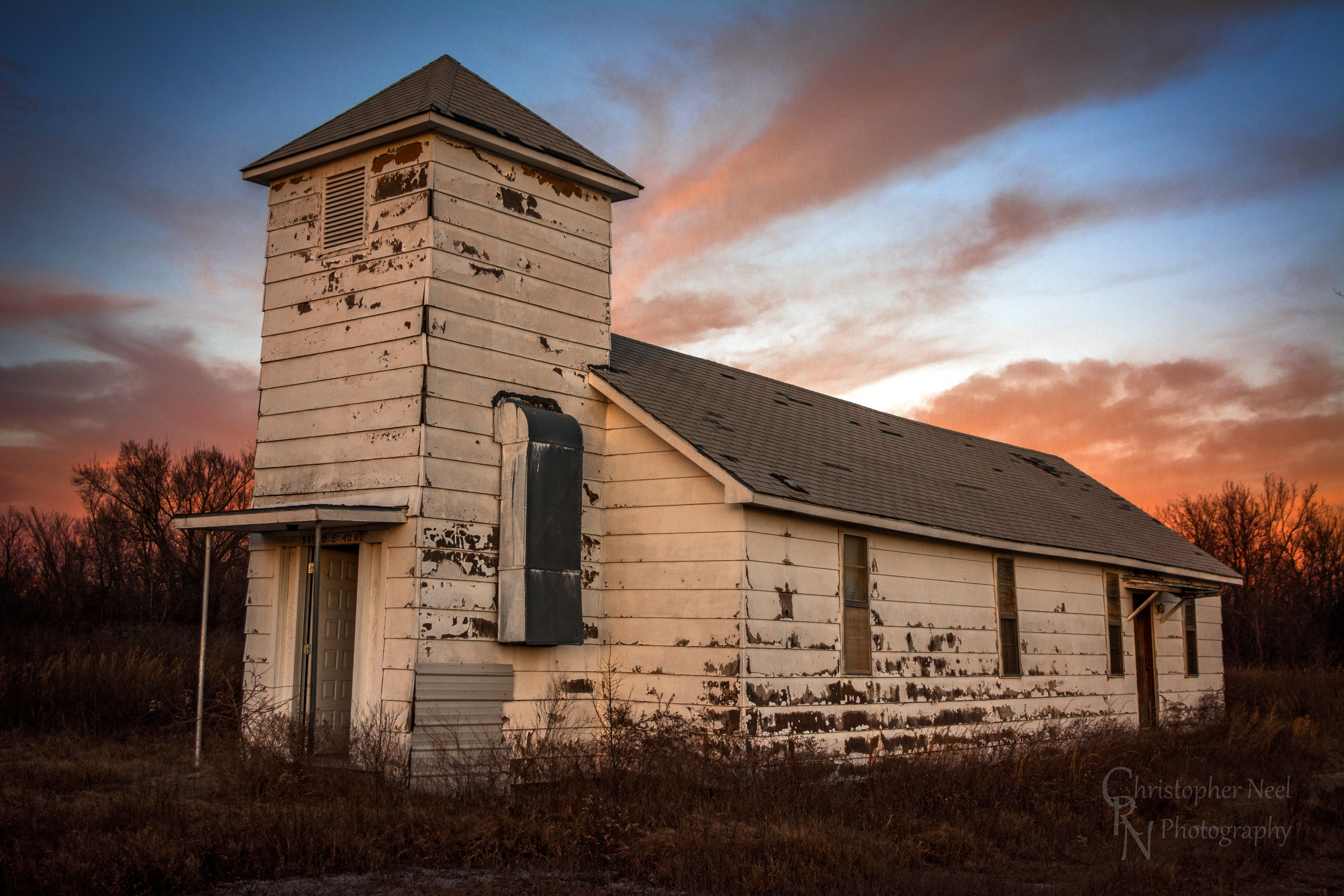
Abandoned Church in Picher, OK - 20150124CRN

10-06-09 Day 12 - Route 66
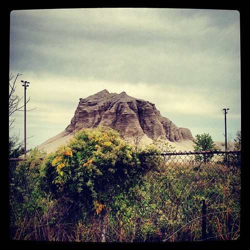
Abandoned 3-2 ballpark & chatpile in Picher, OK, site of the largest toxic waste site in US
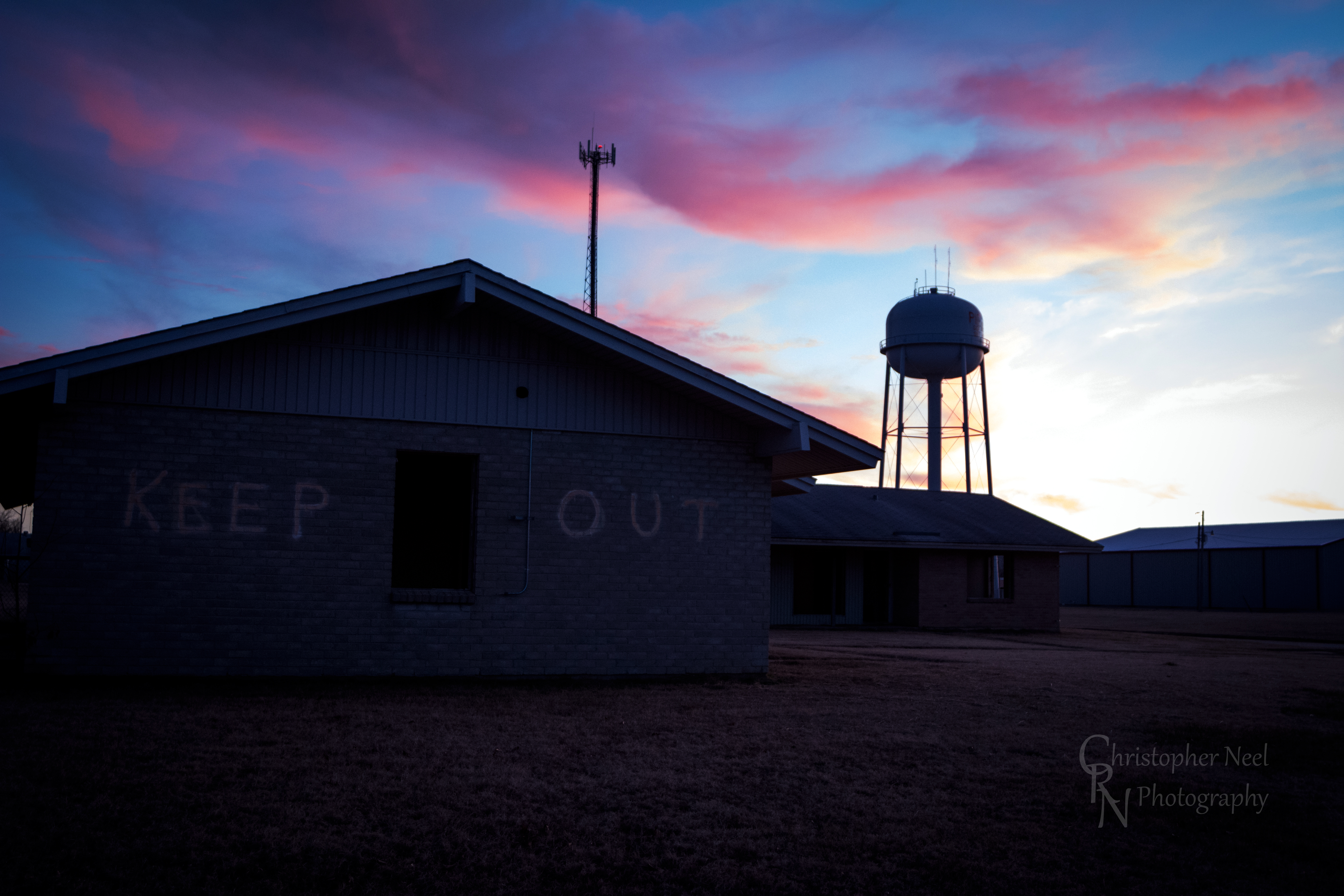
Abandoned Building Keep Out and Sunset in Picher, OK - 20150124CRN
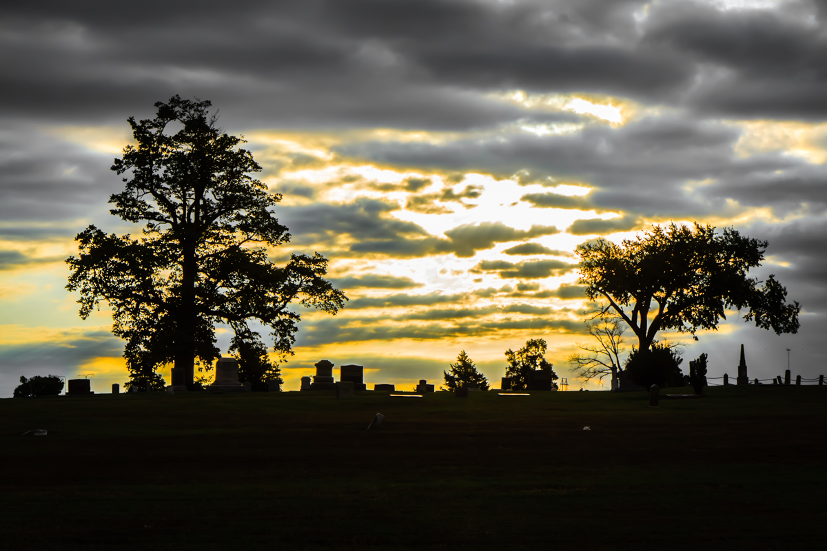
Baxter Springs Cemetery
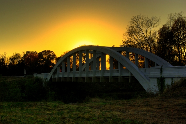
Rainbow Bridge Sunset
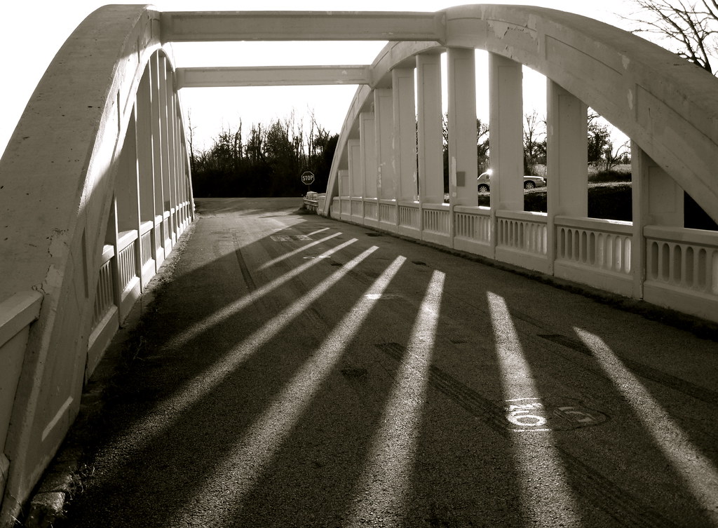
Bridge shadows
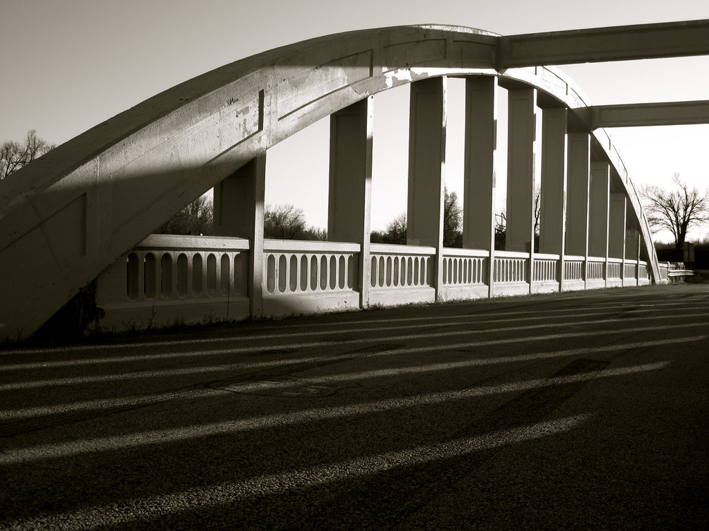
Route 66 Bridge

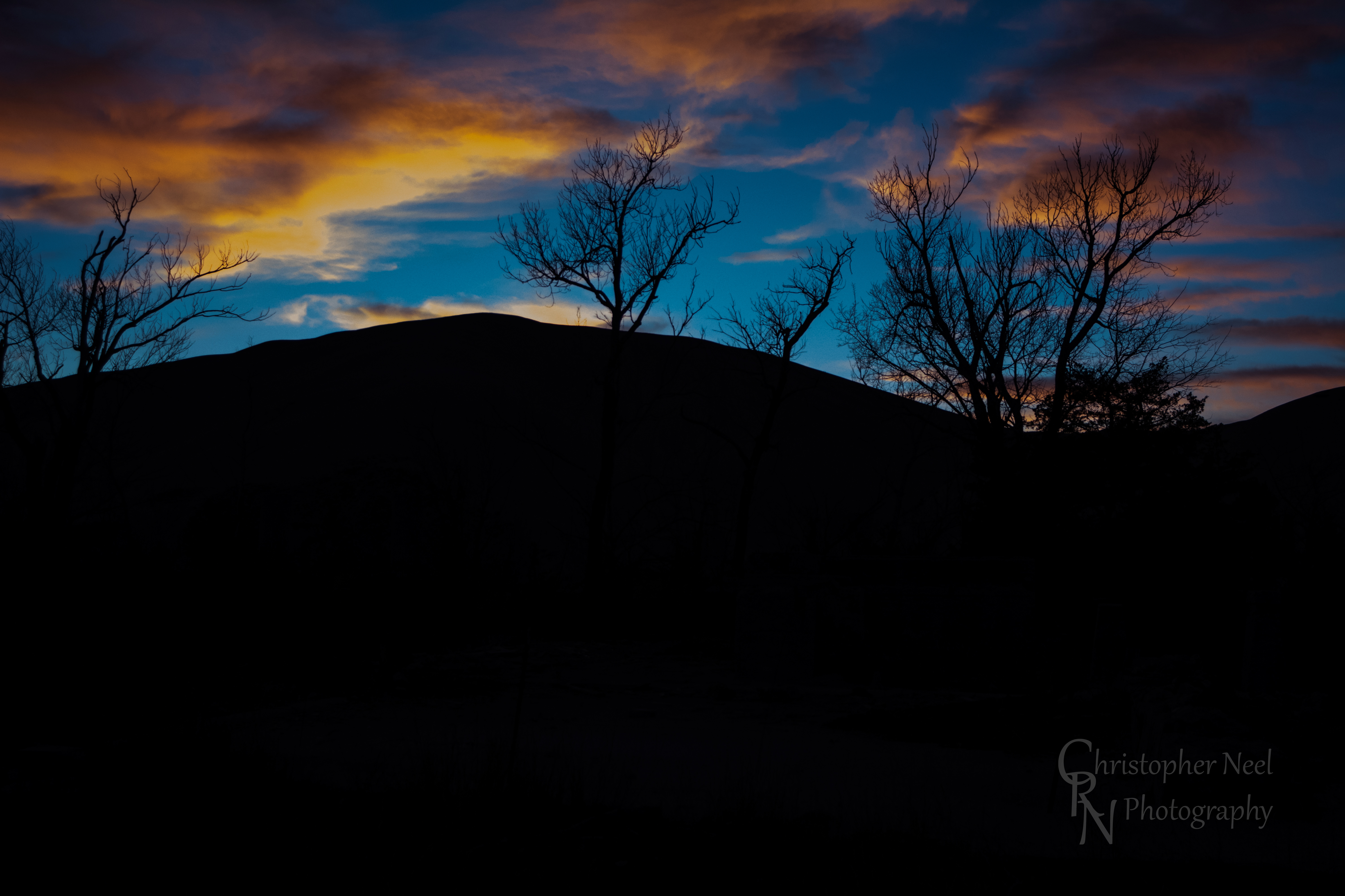
Rainbow Sunset

10-06-09 Day 12 - Route 66

10-06-09 Day 12 - Route 66

10-06-09 Day 12 - Route 66
Sunset against a Silhouetted Chat Pile in Picher, OK - 20150124CRN

10-06-09 Day 12 - Route 66
Mapa de SE 25th St, Columbus, KS, EE. UU.
Buscar otro lugar
Lugares cercanos
Condado de Cherokee, Kansas, EE. UU.
Municipio de Spring Valley, Kansas, EE. UU.
W 12th St, Baxter Springs, KS, EE. UU.
SE 68th St, Riverton, KS, EE. UU.
Riverton, Kansas, EE. UU.
Baxter Springs, Kansas, EE. UU.
Columbus, Kansas, EE. UU.
Pennsylvania, Columbus, KS, EE. UU.
Baxter Springs Golf & Country Club, Hale Irwin Dr, Baxter Springs, KS, EE. UU.
Municipio de Garden, Kansas, EE. UU.
Virginia St, Quapaw, OK, EE. UU.
Quapaw, Oklahoma, EE. UU.
28 NE Turkey Ln, Columbus, KS, EE. UU.
W 6th St, Galena, KS, EE. UU.
Galena, Kansas, EE. UU.
Mi Torito Mexican Restaurant, S Main St, Galena, KS, EE. UU.
Fox 14, US-69, Scammon, KS, EE. UU.
Municipio de Salamanca, Kansas, EE. UU.
Municipio de Mineral, Kansas, EE. UU.
Commerce St, Commerce, OK, EE. UU.
Búsquedas recientes
- Horas de salida y puesta de sol de Red Dog Mine, AK, USA
- Horas de salida y puesta de sol de Am Bahnhof, Am bhf, Borken, Germany
- Horas de salida y puesta de sol de 4th St E, Sonoma, CA, EE. UU.
- Horas de salida y puesta de sol de Oakland Ave, Williamsport, PA, EE. UU.
- Horas de salida y puesta de sol de Via Roma, Pieranica CR, Italia
- Horas de salida y puesta de sol de Torre del reloj, Grad, Dubrovnik (Ragusa), Croacia
- Horas de salida y puesta de sol de Trelew, Chubut, Argentina
- Horas de salida y puesta de sol de Hartfords Bluff Cir, Mt Pleasant, SC, EE. UU.
- Horas de salida y puesta de sol de Kita Ward, Kumamoto, Japón
- Horas de salida y puesta de sol de Pingtan Island, Pingtan County, Fuzhou, China