Horas de salida y puesta de sol de Saint-Norbert, NB E4S 2S8, Canadá
Location: Canadá > Nuevo Brunswick > Kent County > Weldford >
Zona horaria:
America/Halifax
Hora local:
2025-06-28 10:24:50
Longitud:
-64.966964
Latitud:
46.467598
Salida de sol de hoy:
05:29:50 AM
Puesta de sol de hoy:
09:16:45 PM
La duración del día hoy:
15h 46m 55s
Salida de sol de mañana:
05:30:21 AM
Puesta de sol de mañana:
09:16:38 PM
La duración del día mañana:
15h 46m 17s
Mostrar todas las fechas
| Fecha | Salida de sol | Puesta de sol | Duración del día |
|---|---|---|---|
| 01/01/2025 | 08:03:26 AM | 04:44:27 PM | 8h 41m 1s |
| 02/01/2025 | 08:03:23 AM | 04:45:26 PM | 8h 42m 3s |
| 03/01/2025 | 08:03:16 AM | 04:46:27 PM | 8h 43m 11s |
| 04/01/2025 | 08:03:07 AM | 04:47:30 PM | 8h 44m 23s |
| 05/01/2025 | 08:02:55 AM | 04:48:35 PM | 8h 45m 40s |
| 06/01/2025 | 08:02:40 AM | 04:49:41 PM | 8h 47m 1s |
| 07/01/2025 | 08:02:23 AM | 04:50:50 PM | 8h 48m 27s |
| 08/01/2025 | 08:02:02 AM | 04:51:59 PM | 8h 49m 57s |
| 09/01/2025 | 08:01:40 AM | 04:53:11 PM | 8h 51m 31s |
| 10/01/2025 | 08:01:14 AM | 04:54:24 PM | 8h 53m 10s |
| 11/01/2025 | 08:00:46 AM | 04:55:39 PM | 8h 54m 53s |
| 12/01/2025 | 08:00:15 AM | 04:56:54 PM | 8h 56m 39s |
| 13/01/2025 | 07:59:42 AM | 04:58:12 PM | 8h 58m 30s |
| 14/01/2025 | 07:59:06 AM | 04:59:30 PM | 9h 0m 24s |
| 15/01/2025 | 07:58:28 AM | 05:00:50 PM | 9h 2m 22s |
| 16/01/2025 | 07:57:47 AM | 05:02:10 PM | 9h 4m 23s |
| 17/01/2025 | 07:57:03 AM | 05:03:32 PM | 9h 6m 29s |
| 18/01/2025 | 07:56:18 AM | 05:04:55 PM | 9h 8m 37s |
| 19/01/2025 | 07:55:29 AM | 05:06:18 PM | 9h 10m 49s |
| 20/01/2025 | 07:54:39 AM | 05:07:43 PM | 9h 13m 4s |
| 21/01/2025 | 07:53:46 AM | 05:09:08 PM | 9h 15m 22s |
| 22/01/2025 | 07:52:51 AM | 05:10:34 PM | 9h 17m 43s |
| 23/01/2025 | 07:51:54 AM | 05:12:01 PM | 9h 20m 7s |
| 24/01/2025 | 07:50:54 AM | 05:13:28 PM | 9h 22m 34s |
| 25/01/2025 | 07:49:53 AM | 05:14:56 PM | 9h 25m 3s |
| 26/01/2025 | 07:48:49 AM | 05:16:24 PM | 9h 27m 35s |
| 27/01/2025 | 07:47:43 AM | 05:17:53 PM | 9h 30m 10s |
| 28/01/2025 | 07:46:35 AM | 05:19:22 PM | 9h 32m 47s |
| 29/01/2025 | 07:45:25 AM | 05:20:51 PM | 9h 35m 26s |
| 30/01/2025 | 07:44:14 AM | 05:22:21 PM | 9h 38m 7s |
| 31/01/2025 | 07:43:00 AM | 05:23:51 PM | 9h 40m 51s |
| 01/02/2025 | 07:41:44 AM | 05:25:22 PM | 9h 43m 38s |
| 02/02/2025 | 07:40:27 AM | 05:26:52 PM | 9h 46m 25s |
| 03/02/2025 | 07:39:08 AM | 05:28:23 PM | 9h 49m 15s |
| 04/02/2025 | 07:37:47 AM | 05:29:53 PM | 9h 52m 6s |
| 05/02/2025 | 07:36:25 AM | 05:31:24 PM | 9h 54m 59s |
| 06/02/2025 | 07:35:01 AM | 05:32:55 PM | 9h 57m 54s |
| 07/02/2025 | 07:33:35 AM | 05:34:26 PM | 10h 0m 51s |
| 08/02/2025 | 07:32:08 AM | 05:35:56 PM | 10h 3m 48s |
| 09/02/2025 | 07:30:39 AM | 05:37:27 PM | 10h 6m 48s |
| 10/02/2025 | 07:29:09 AM | 05:38:58 PM | 10h 9m 49s |
| 11/02/2025 | 07:27:37 AM | 05:40:28 PM | 10h 12m 51s |
| 12/02/2025 | 07:26:04 AM | 05:41:59 PM | 10h 15m 55s |
| 13/02/2025 | 07:24:30 AM | 05:43:29 PM | 10h 18m 59s |
| 14/02/2025 | 07:22:54 AM | 05:44:59 PM | 10h 22m 5s |
| 15/02/2025 | 07:21:18 AM | 05:46:29 PM | 10h 25m 11s |
| 16/02/2025 | 07:19:40 AM | 05:47:59 PM | 10h 28m 19s |
| 17/02/2025 | 07:18:00 AM | 05:49:28 PM | 10h 31m 28s |
| 18/02/2025 | 07:16:20 AM | 05:50:57 PM | 10h 34m 37s |
| 19/02/2025 | 07:14:39 AM | 05:52:26 PM | 10h 37m 47s |
| 20/02/2025 | 07:12:56 AM | 05:53:55 PM | 10h 40m 59s |
| 21/02/2025 | 07:11:13 AM | 05:55:24 PM | 10h 44m 11s |
| 22/02/2025 | 07:09:28 AM | 05:56:52 PM | 10h 47m 24s |
| 23/02/2025 | 07:07:43 AM | 05:58:20 PM | 10h 50m 37s |
| 24/02/2025 | 07:05:56 AM | 05:59:47 PM | 10h 53m 51s |
| 25/02/2025 | 07:04:09 AM | 06:01:15 PM | 10h 57m 6s |
| 26/02/2025 | 07:02:21 AM | 06:02:42 PM | 11h 0m 21s |
| 27/02/2025 | 07:00:32 AM | 06:04:09 PM | 11h 3m 37s |
| 28/02/2025 | 06:58:43 AM | 06:05:35 PM | 11h 6m 52s |
| 01/03/2025 | 06:56:52 AM | 06:07:02 PM | 11h 10m 10s |
| 02/03/2025 | 06:55:01 AM | 06:08:28 PM | 11h 13m 27s |
| 03/03/2025 | 06:53:10 AM | 06:09:53 PM | 11h 16m 43s |
| 04/03/2025 | 06:51:17 AM | 06:11:19 PM | 11h 20m 2s |
| 05/03/2025 | 06:49:25 AM | 06:12:44 PM | 11h 23m 19s |
| 06/03/2025 | 06:47:31 AM | 06:14:09 PM | 11h 26m 38s |
| 07/03/2025 | 06:45:37 AM | 06:15:34 PM | 11h 29m 57s |
| 08/03/2025 | 06:43:43 AM | 06:16:58 PM | 11h 33m 15s |
| 09/03/2025 | 07:41:53 AM | 07:18:19 PM | 11h 36m 26s |
| 10/03/2025 | 07:39:58 AM | 07:19:43 PM | 11h 39m 45s |
| 11/03/2025 | 07:38:02 AM | 07:21:06 PM | 11h 43m 4s |
| 12/03/2025 | 07:36:06 AM | 07:22:30 PM | 11h 46m 24s |
| 13/03/2025 | 07:34:10 AM | 07:23:53 PM | 11h 49m 43s |
| 14/03/2025 | 07:32:13 AM | 07:25:16 PM | 11h 53m 3s |
| 15/03/2025 | 07:30:17 AM | 07:26:39 PM | 11h 56m 22s |
| 16/03/2025 | 07:28:20 AM | 07:28:02 PM | 11h 59m 42s |
| 17/03/2025 | 07:26:22 AM | 07:29:24 PM | 12h 3m 2s |
| 18/03/2025 | 07:24:25 AM | 07:30:47 PM | 12h 6m 22s |
| 19/03/2025 | 07:22:27 AM | 07:32:09 PM | 12h 9m 42s |
| 20/03/2025 | 07:20:30 AM | 07:33:31 PM | 12h 13m 1s |
| 21/03/2025 | 07:18:32 AM | 07:34:53 PM | 12h 16m 21s |
| 22/03/2025 | 07:16:34 AM | 07:36:15 PM | 12h 19m 41s |
| 23/03/2025 | 07:14:37 AM | 07:37:36 PM | 12h 22m 59s |
| 24/03/2025 | 07:12:39 AM | 07:38:58 PM | 12h 26m 19s |
| 25/03/2025 | 07:10:41 AM | 07:40:19 PM | 12h 29m 38s |
| 26/03/2025 | 07:08:44 AM | 07:41:40 PM | 12h 32m 56s |
| 27/03/2025 | 07:06:46 AM | 07:43:02 PM | 12h 36m 16s |
| 28/03/2025 | 07:04:49 AM | 07:44:23 PM | 12h 39m 34s |
| 29/03/2025 | 07:02:52 AM | 07:45:44 PM | 12h 42m 52s |
| 30/03/2025 | 07:00:55 AM | 07:47:05 PM | 12h 46m 10s |
| 31/03/2025 | 06:58:58 AM | 07:48:26 PM | 12h 49m 28s |
| 01/04/2025 | 06:57:02 AM | 07:49:47 PM | 12h 52m 45s |
| 02/04/2025 | 06:55:06 AM | 07:51:08 PM | 12h 56m 2s |
| 03/04/2025 | 06:53:10 AM | 07:52:29 PM | 12h 59m 19s |
| 04/04/2025 | 06:51:15 AM | 07:53:50 PM | 13h 2m 35s |
| 05/04/2025 | 06:49:20 AM | 07:55:10 PM | 13h 5m 50s |
| 06/04/2025 | 06:47:25 AM | 07:56:31 PM | 13h 9m 6s |
| 07/04/2025 | 06:45:31 AM | 07:57:52 PM | 13h 12m 21s |
| 08/04/2025 | 06:43:38 AM | 07:59:13 PM | 13h 15m 35s |
| 09/04/2025 | 06:41:45 AM | 08:00:34 PM | 13h 18m 49s |
| 10/04/2025 | 06:39:52 AM | 08:01:54 PM | 13h 22m 2s |
| 11/04/2025 | 06:38:00 AM | 08:03:15 PM | 13h 25m 15s |
| 12/04/2025 | 06:36:09 AM | 08:04:36 PM | 13h 28m 27s |
| 13/04/2025 | 06:34:18 AM | 08:05:57 PM | 13h 31m 39s |
| 14/04/2025 | 06:32:29 AM | 08:07:17 PM | 13h 34m 48s |
| 15/04/2025 | 06:30:39 AM | 08:08:38 PM | 13h 37m 59s |
| 16/04/2025 | 06:28:51 AM | 08:09:59 PM | 13h 41m 8s |
| 17/04/2025 | 06:27:03 AM | 08:11:19 PM | 13h 44m 16s |
| 18/04/2025 | 06:25:17 AM | 08:12:40 PM | 13h 47m 23s |
| 19/04/2025 | 06:23:31 AM | 08:14:01 PM | 13h 50m 30s |
| 20/04/2025 | 06:21:46 AM | 08:15:21 PM | 13h 53m 35s |
| 21/04/2025 | 06:20:02 AM | 08:16:42 PM | 13h 56m 40s |
| 22/04/2025 | 06:18:19 AM | 08:18:02 PM | 13h 59m 43s |
| 23/04/2025 | 06:16:37 AM | 08:19:23 PM | 14h 2m 46s |
| 24/04/2025 | 06:14:56 AM | 08:20:43 PM | 14h 5m 47s |
| 25/04/2025 | 06:13:16 AM | 08:22:03 PM | 14h 8m 47s |
| 26/04/2025 | 06:11:37 AM | 08:23:23 PM | 14h 11m 46s |
| 27/04/2025 | 06:09:59 AM | 08:24:43 PM | 14h 14m 44s |
| 28/04/2025 | 06:08:23 AM | 08:26:03 PM | 14h 17m 40s |
| 29/04/2025 | 06:06:47 AM | 08:27:22 PM | 14h 20m 35s |
| 30/04/2025 | 06:05:13 AM | 08:28:41 PM | 14h 23m 28s |
| 01/05/2025 | 06:03:41 AM | 08:30:01 PM | 14h 26m 20s |
| 02/05/2025 | 06:02:10 AM | 08:31:19 PM | 14h 29m 9s |
| 03/05/2025 | 06:00:40 AM | 08:32:38 PM | 14h 31m 58s |
| 04/05/2025 | 05:59:11 AM | 08:33:56 PM | 14h 34m 45s |
| 05/05/2025 | 05:57:44 AM | 08:35:14 PM | 14h 37m 30s |
| 06/05/2025 | 05:56:19 AM | 08:36:32 PM | 14h 40m 13s |
| 07/05/2025 | 05:54:55 AM | 08:37:49 PM | 14h 42m 54s |
| 08/05/2025 | 05:53:32 AM | 08:39:05 PM | 14h 45m 33s |
| 09/05/2025 | 05:52:11 AM | 08:40:22 PM | 14h 48m 11s |
| 10/05/2025 | 05:50:52 AM | 08:41:37 PM | 14h 50m 45s |
| 11/05/2025 | 05:49:35 AM | 08:42:52 PM | 14h 53m 17s |
| 12/05/2025 | 05:48:19 AM | 08:44:07 PM | 14h 55m 48s |
| 13/05/2025 | 05:47:05 AM | 08:45:21 PM | 14h 58m 16s |
| 14/05/2025 | 05:45:53 AM | 08:46:34 PM | 15h 0m 41s |
| 15/05/2025 | 05:44:43 AM | 08:47:47 PM | 15h 3m 4s |
| 16/05/2025 | 05:43:34 AM | 08:48:59 PM | 15h 5m 25s |
| 17/05/2025 | 05:42:28 AM | 08:50:10 PM | 15h 7m 42s |
| 18/05/2025 | 05:41:23 AM | 08:51:20 PM | 15h 9m 57s |
| 19/05/2025 | 05:40:21 AM | 08:52:29 PM | 15h 12m 8s |
| 20/05/2025 | 05:39:20 AM | 08:53:37 PM | 15h 14m 17s |
| 21/05/2025 | 05:38:22 AM | 08:54:45 PM | 15h 16m 23s |
| 22/05/2025 | 05:37:25 AM | 08:55:51 PM | 15h 18m 26s |
| 23/05/2025 | 05:36:31 AM | 08:56:56 PM | 15h 20m 25s |
| 24/05/2025 | 05:35:39 AM | 08:58:00 PM | 15h 22m 21s |
| 25/05/2025 | 05:34:49 AM | 08:59:03 PM | 15h 24m 14s |
| 26/05/2025 | 05:34:01 AM | 09:00:04 PM | 15h 26m 3s |
| 27/05/2025 | 05:33:16 AM | 09:01:04 PM | 15h 27m 48s |
| 28/05/2025 | 05:32:33 AM | 09:02:03 PM | 15h 29m 30s |
| 29/05/2025 | 05:31:52 AM | 09:03:00 PM | 15h 31m 8s |
| 30/05/2025 | 05:31:13 AM | 09:03:56 PM | 15h 32m 43s |
| 31/05/2025 | 05:30:37 AM | 09:04:51 PM | 15h 34m 14s |
| 01/06/2025 | 05:30:03 AM | 09:05:44 PM | 15h 35m 41s |
| 02/06/2025 | 05:29:32 AM | 09:06:35 PM | 15h 37m 3s |
| 03/06/2025 | 05:29:03 AM | 09:07:24 PM | 15h 38m 21s |
| 04/06/2025 | 05:28:36 AM | 09:08:12 PM | 15h 39m 36s |
| 05/06/2025 | 05:28:12 AM | 09:08:58 PM | 15h 40m 46s |
| 06/06/2025 | 05:27:50 AM | 09:09:42 PM | 15h 41m 52s |
| 07/06/2025 | 05:27:31 AM | 09:10:24 PM | 15h 42m 53s |
| 08/06/2025 | 05:27:14 AM | 09:11:04 PM | 15h 43m 50s |
| 09/06/2025 | 05:27:00 AM | 09:11:43 PM | 15h 44m 43s |
| 10/06/2025 | 05:26:48 AM | 09:12:19 PM | 15h 45m 31s |
| 11/06/2025 | 05:26:38 AM | 09:12:53 PM | 15h 46m 15s |
| 12/06/2025 | 05:26:31 AM | 09:13:25 PM | 15h 46m 54s |
| 13/06/2025 | 05:26:27 AM | 09:13:55 PM | 15h 47m 28s |
| 14/06/2025 | 05:26:25 AM | 09:14:23 PM | 15h 47m 58s |
| 15/06/2025 | 05:26:25 AM | 09:14:48 PM | 15h 48m 23s |
| 16/06/2025 | 05:26:28 AM | 09:15:11 PM | 15h 48m 43s |
| 17/06/2025 | 05:26:33 AM | 09:15:32 PM | 15h 48m 59s |
| 18/06/2025 | 05:26:41 AM | 09:15:51 PM | 15h 49m 10s |
| 19/06/2025 | 05:26:51 AM | 09:16:07 PM | 15h 49m 16s |
| 20/06/2025 | 05:27:03 AM | 09:16:21 PM | 15h 49m 18s |
| 21/06/2025 | 05:27:18 AM | 09:16:32 PM | 15h 49m 14s |
| 22/06/2025 | 05:27:35 AM | 09:16:41 PM | 15h 49m 6s |
| 23/06/2025 | 05:27:54 AM | 09:16:47 PM | 15h 48m 53s |
| 24/06/2025 | 05:28:16 AM | 09:16:51 PM | 15h 48m 35s |
| 25/06/2025 | 05:28:39 AM | 09:16:53 PM | 15h 48m 14s |
| 26/06/2025 | 05:29:05 AM | 09:16:52 PM | 15h 47m 47s |
| 27/06/2025 | 05:29:33 AM | 09:16:48 PM | 15h 47m 15s |
| 28/06/2025 | 05:30:04 AM | 09:16:42 PM | 15h 46m 38s |
| 29/06/2025 | 05:30:36 AM | 09:16:34 PM | 15h 45m 58s |
| 30/06/2025 | 05:31:10 AM | 09:16:23 PM | 15h 45m 13s |
| 01/07/2025 | 05:31:47 AM | 09:16:09 PM | 15h 44m 22s |
| 02/07/2025 | 05:32:25 AM | 09:15:53 PM | 15h 43m 28s |
| 03/07/2025 | 05:33:05 AM | 09:15:35 PM | 15h 42m 30s |
| 04/07/2025 | 05:33:47 AM | 09:15:14 PM | 15h 41m 27s |
| 05/07/2025 | 05:34:31 AM | 09:14:50 PM | 15h 40m 19s |
| 06/07/2025 | 05:35:16 AM | 09:14:24 PM | 15h 39m 8s |
| 07/07/2025 | 05:36:03 AM | 09:13:56 PM | 15h 37m 53s |
| 08/07/2025 | 05:36:52 AM | 09:13:25 PM | 15h 36m 33s |
| 09/07/2025 | 05:37:42 AM | 09:12:52 PM | 15h 35m 10s |
| 10/07/2025 | 05:38:34 AM | 09:12:16 PM | 15h 33m 42s |
| 11/07/2025 | 05:39:28 AM | 09:11:38 PM | 15h 32m 10s |
| 12/07/2025 | 05:40:22 AM | 09:10:57 PM | 15h 30m 35s |
| 13/07/2025 | 05:41:19 AM | 09:10:15 PM | 15h 28m 56s |
| 14/07/2025 | 05:42:16 AM | 09:09:30 PM | 15h 27m 14s |
| 15/07/2025 | 05:43:15 AM | 09:08:42 PM | 15h 25m 27s |
| 16/07/2025 | 05:44:15 AM | 09:07:53 PM | 15h 23m 38s |
| 17/07/2025 | 05:45:16 AM | 09:07:01 PM | 15h 21m 45s |
| 18/07/2025 | 05:46:18 AM | 09:06:07 PM | 15h 19m 49s |
| 19/07/2025 | 05:47:22 AM | 09:05:10 PM | 15h 17m 48s |
| 20/07/2025 | 05:48:26 AM | 09:04:12 PM | 15h 15m 46s |
| 21/07/2025 | 05:49:31 AM | 09:03:12 PM | 15h 13m 41s |
| 22/07/2025 | 05:50:37 AM | 09:02:09 PM | 15h 11m 32s |
| 23/07/2025 | 05:51:44 AM | 09:01:05 PM | 15h 9m 21s |
| 24/07/2025 | 05:52:52 AM | 08:59:58 PM | 15h 7m 6s |
| 25/07/2025 | 05:54:01 AM | 08:58:50 PM | 15h 4m 49s |
| 26/07/2025 | 05:55:10 AM | 08:57:39 PM | 15h 2m 29s |
| 27/07/2025 | 05:56:20 AM | 08:56:27 PM | 15h 0m 7s |
| 28/07/2025 | 05:57:31 AM | 08:55:13 PM | 14h 57m 42s |
| 29/07/2025 | 05:58:42 AM | 08:53:57 PM | 14h 55m 15s |
| 30/07/2025 | 05:59:54 AM | 08:52:40 PM | 14h 52m 46s |
| 31/07/2025 | 06:01:06 AM | 08:51:20 PM | 14h 50m 14s |
| 01/08/2025 | 06:02:19 AM | 08:49:59 PM | 14h 47m 40s |
| 02/08/2025 | 06:03:32 AM | 08:48:37 PM | 14h 45m 5s |
| 03/08/2025 | 06:04:45 AM | 08:47:12 PM | 14h 42m 27s |
| 04/08/2025 | 06:05:59 AM | 08:45:46 PM | 14h 39m 47s |
| 05/08/2025 | 06:07:13 AM | 08:44:19 PM | 14h 37m 6s |
| 06/08/2025 | 06:08:28 AM | 08:42:50 PM | 14h 34m 22s |
| 07/08/2025 | 06:09:43 AM | 08:41:20 PM | 14h 31m 37s |
| 08/08/2025 | 06:10:58 AM | 08:39:48 PM | 14h 28m 50s |
| 09/08/2025 | 06:12:13 AM | 08:38:15 PM | 14h 26m 2s |
| 10/08/2025 | 06:13:28 AM | 08:36:41 PM | 14h 23m 13s |
| 11/08/2025 | 06:14:44 AM | 08:35:05 PM | 14h 20m 21s |
| 12/08/2025 | 06:16:00 AM | 08:33:28 PM | 14h 17m 28s |
| 13/08/2025 | 06:17:16 AM | 08:31:50 PM | 14h 14m 34s |
| 14/08/2025 | 06:18:32 AM | 08:30:10 PM | 14h 11m 38s |
| 15/08/2025 | 06:19:48 AM | 08:28:30 PM | 14h 8m 42s |
| 16/08/2025 | 06:21:04 AM | 08:26:48 PM | 14h 5m 44s |
| 17/08/2025 | 06:22:20 AM | 08:25:05 PM | 14h 2m 45s |
| 18/08/2025 | 06:23:36 AM | 08:23:21 PM | 13h 59m 45s |
| 19/08/2025 | 06:24:53 AM | 08:21:37 PM | 13h 56m 44s |
| 20/08/2025 | 06:26:09 AM | 08:19:51 PM | 13h 53m 42s |
| 21/08/2025 | 06:27:25 AM | 08:18:04 PM | 13h 50m 39s |
| 22/08/2025 | 06:28:42 AM | 08:16:16 PM | 13h 47m 34s |
| 23/08/2025 | 06:29:58 AM | 08:14:28 PM | 13h 44m 30s |
| 24/08/2025 | 06:31:15 AM | 08:12:39 PM | 13h 41m 24s |
| 25/08/2025 | 06:32:31 AM | 08:10:49 PM | 13h 38m 18s |
| 26/08/2025 | 06:33:47 AM | 08:08:58 PM | 13h 35m 11s |
| 27/08/2025 | 06:35:04 AM | 08:07:06 PM | 13h 32m 2s |
| 28/08/2025 | 06:36:20 AM | 08:05:14 PM | 13h 28m 54s |
| 29/08/2025 | 06:37:36 AM | 08:03:21 PM | 13h 25m 45s |
| 30/08/2025 | 06:38:52 AM | 08:01:27 PM | 13h 22m 35s |
| 31/08/2025 | 06:40:09 AM | 07:59:33 PM | 13h 19m 24s |
| 01/09/2025 | 06:41:25 AM | 07:57:39 PM | 13h 16m 14s |
| 02/09/2025 | 06:42:41 AM | 07:55:43 PM | 13h 13m 2s |
| 03/09/2025 | 06:43:57 AM | 07:53:48 PM | 13h 9m 51s |
| 04/09/2025 | 06:45:13 AM | 07:51:51 PM | 13h 6m 38s |
| 05/09/2025 | 06:46:29 AM | 07:49:55 PM | 13h 3m 26s |
| 06/09/2025 | 06:47:45 AM | 07:47:58 PM | 13h 0m 13s |
| 07/09/2025 | 06:49:02 AM | 07:46:00 PM | 12h 56m 58s |
| 08/09/2025 | 06:50:18 AM | 07:44:02 PM | 12h 53m 44s |
| 09/09/2025 | 06:51:34 AM | 07:42:04 PM | 12h 50m 30s |
| 10/09/2025 | 06:52:50 AM | 07:40:06 PM | 12h 47m 16s |
| 11/09/2025 | 06:54:06 AM | 07:38:07 PM | 12h 44m 1s |
| 12/09/2025 | 06:55:23 AM | 07:36:08 PM | 12h 40m 45s |
| 13/09/2025 | 06:56:39 AM | 07:34:09 PM | 12h 37m 30s |
| 14/09/2025 | 06:57:55 AM | 07:32:10 PM | 12h 34m 15s |
| 15/09/2025 | 06:59:12 AM | 07:30:11 PM | 12h 30m 59s |
| 16/09/2025 | 07:00:28 AM | 07:28:11 PM | 12h 27m 43s |
| 17/09/2025 | 07:01:45 AM | 07:26:12 PM | 12h 24m 27s |
| 18/09/2025 | 07:03:02 AM | 07:24:12 PM | 12h 21m 10s |
| 19/09/2025 | 07:04:18 AM | 07:22:13 PM | 12h 17m 55s |
| 20/09/2025 | 07:05:35 AM | 07:20:13 PM | 12h 14m 38s |
| 21/09/2025 | 07:06:52 AM | 07:18:14 PM | 12h 11m 22s |
| 22/09/2025 | 07:08:10 AM | 07:16:15 PM | 12h 8m 5s |
| 23/09/2025 | 07:09:27 AM | 07:14:15 PM | 12h 4m 48s |
| 24/09/2025 | 07:10:45 AM | 07:12:16 PM | 12h 1m 31s |
| 25/09/2025 | 07:12:02 AM | 07:10:17 PM | 11h 58m 15s |
| 26/09/2025 | 07:13:20 AM | 07:08:18 PM | 11h 54m 58s |
| 27/09/2025 | 07:14:38 AM | 07:06:20 PM | 11h 51m 42s |
| 28/09/2025 | 07:15:56 AM | 07:04:21 PM | 11h 48m 25s |
| 29/09/2025 | 07:17:15 AM | 07:02:24 PM | 11h 45m 9s |
| 30/09/2025 | 07:18:34 AM | 07:00:26 PM | 11h 41m 52s |
| 01/10/2025 | 07:19:53 AM | 06:58:29 PM | 11h 38m 36s |
| 02/10/2025 | 07:21:12 AM | 06:56:32 PM | 11h 35m 20s |
| 03/10/2025 | 07:22:31 AM | 06:54:35 PM | 11h 32m 4s |
| 04/10/2025 | 07:23:51 AM | 06:52:39 PM | 11h 28m 48s |
| 05/10/2025 | 07:25:11 AM | 06:50:44 PM | 11h 25m 33s |
| 06/10/2025 | 07:26:31 AM | 06:48:49 PM | 11h 22m 18s |
| 07/10/2025 | 07:27:52 AM | 06:46:54 PM | 11h 19m 2s |
| 08/10/2025 | 07:29:12 AM | 06:45:00 PM | 11h 15m 48s |
| 09/10/2025 | 07:30:34 AM | 06:43:07 PM | 11h 12m 33s |
| 10/10/2025 | 07:31:55 AM | 06:41:14 PM | 11h 9m 19s |
| 11/10/2025 | 07:33:17 AM | 06:39:22 PM | 11h 6m 5s |
| 12/10/2025 | 07:34:39 AM | 06:37:31 PM | 11h 2m 52s |
| 13/10/2025 | 07:36:01 AM | 06:35:41 PM | 10h 59m 40s |
| 14/10/2025 | 07:37:23 AM | 06:33:51 PM | 10h 56m 28s |
| 15/10/2025 | 07:38:46 AM | 06:32:02 PM | 10h 53m 16s |
| 16/10/2025 | 07:40:10 AM | 06:30:14 PM | 10h 50m 4s |
| 17/10/2025 | 07:41:33 AM | 06:28:27 PM | 10h 46m 54s |
| 18/10/2025 | 07:42:57 AM | 06:26:41 PM | 10h 43m 44s |
| 19/10/2025 | 07:44:21 AM | 06:24:56 PM | 10h 40m 35s |
| 20/10/2025 | 07:45:45 AM | 06:23:11 PM | 10h 37m 26s |
| 21/10/2025 | 07:47:10 AM | 06:21:28 PM | 10h 34m 18s |
| 22/10/2025 | 07:48:35 AM | 06:19:46 PM | 10h 31m 11s |
| 23/10/2025 | 07:50:00 AM | 06:18:05 PM | 10h 28m 5s |
| 24/10/2025 | 07:51:26 AM | 06:16:25 PM | 10h 24m 59s |
| 25/10/2025 | 07:52:51 AM | 06:14:47 PM | 10h 21m 56s |
| 26/10/2025 | 07:54:17 AM | 06:13:09 PM | 10h 18m 52s |
| 27/10/2025 | 07:55:43 AM | 06:11:33 PM | 10h 15m 50s |
| 28/10/2025 | 07:57:10 AM | 06:09:59 PM | 10h 12m 49s |
| 29/10/2025 | 07:58:36 AM | 06:08:25 PM | 10h 9m 49s |
| 30/10/2025 | 08:00:03 AM | 06:06:53 PM | 10h 6m 50s |
| 31/10/2025 | 08:01:30 AM | 06:05:23 PM | 10h 3m 53s |
| 01/11/2025 | 08:02:57 AM | 06:03:54 PM | 10h 0m 57s |
| 02/11/2025 | 07:04:27 AM | 05:02:23 PM | 9h 57m 56s |
| 03/11/2025 | 07:05:54 AM | 05:00:57 PM | 9h 55m 3s |
| 04/11/2025 | 07:07:21 AM | 04:59:33 PM | 9h 52m 12s |
| 05/11/2025 | 07:08:49 AM | 04:58:10 PM | 9h 49m 21s |
| 06/11/2025 | 07:10:16 AM | 04:56:49 PM | 9h 46m 33s |
| 07/11/2025 | 07:11:43 AM | 04:55:30 PM | 9h 43m 47s |
| 08/11/2025 | 07:13:09 AM | 04:54:13 PM | 9h 41m 4s |
| 09/11/2025 | 07:14:36 AM | 04:52:57 PM | 9h 38m 21s |
| 10/11/2025 | 07:16:03 AM | 04:51:44 PM | 9h 35m 41s |
| 11/11/2025 | 07:17:29 AM | 04:50:32 PM | 9h 33m 3s |
| 12/11/2025 | 07:18:55 AM | 04:49:23 PM | 9h 30m 28s |
| 13/11/2025 | 07:20:21 AM | 04:48:15 PM | 9h 27m 54s |
| 14/11/2025 | 07:21:46 AM | 04:47:09 PM | 9h 25m 23s |
| 15/11/2025 | 07:23:11 AM | 04:46:06 PM | 9h 22m 55s |
| 16/11/2025 | 07:24:36 AM | 04:45:04 PM | 9h 20m 28s |
| 17/11/2025 | 07:26:00 AM | 04:44:05 PM | 9h 18m 5s |
| 18/11/2025 | 07:27:23 AM | 04:43:08 PM | 9h 15m 45s |
| 19/11/2025 | 07:28:46 AM | 04:42:14 PM | 9h 13m 28s |
| 20/11/2025 | 07:30:08 AM | 04:41:21 PM | 9h 11m 13s |
| 21/11/2025 | 07:31:29 AM | 04:40:31 PM | 9h 9m 2s |
| 22/11/2025 | 07:32:50 AM | 04:39:43 PM | 9h 6m 53s |
| 23/11/2025 | 07:34:09 AM | 04:38:58 PM | 9h 4m 49s |
| 24/11/2025 | 07:35:28 AM | 04:38:16 PM | 9h 2m 48s |
| 25/11/2025 | 07:36:46 AM | 04:37:35 PM | 9h 0m 49s |
| 26/11/2025 | 07:38:02 AM | 04:36:58 PM | 8h 58m 56s |
| 27/11/2025 | 07:39:18 AM | 04:36:22 PM | 8h 57m 4s |
| 28/11/2025 | 07:40:32 AM | 04:35:50 PM | 8h 55m 18s |
| 29/11/2025 | 07:41:45 AM | 04:35:20 PM | 8h 53m 35s |
| 30/11/2025 | 07:42:57 AM | 04:34:53 PM | 8h 51m 56s |
| 01/12/2025 | 07:44:07 AM | 04:34:28 PM | 8h 50m 21s |
| 02/12/2025 | 07:45:16 AM | 04:34:06 PM | 8h 48m 50s |
| 03/12/2025 | 07:46:24 AM | 04:33:47 PM | 8h 47m 23s |
| 04/12/2025 | 07:47:29 AM | 04:33:30 PM | 8h 46m 1s |
| 05/12/2025 | 07:48:33 AM | 04:33:17 PM | 8h 44m 44s |
| 06/12/2025 | 07:49:36 AM | 04:33:06 PM | 8h 43m 30s |
| 07/12/2025 | 07:50:36 AM | 04:32:58 PM | 8h 42m 22s |
| 08/12/2025 | 07:51:35 AM | 04:32:52 PM | 8h 41m 17s |
| 09/12/2025 | 07:52:31 AM | 04:32:50 PM | 8h 40m 19s |
| 10/12/2025 | 07:53:26 AM | 04:32:50 PM | 8h 39m 24s |
| 11/12/2025 | 07:54:19 AM | 04:32:53 PM | 8h 38m 34s |
| 12/12/2025 | 07:55:09 AM | 04:32:59 PM | 8h 37m 50s |
| 13/12/2025 | 07:55:58 AM | 04:33:08 PM | 8h 37m 10s |
| 14/12/2025 | 07:56:44 AM | 04:33:19 PM | 8h 36m 35s |
| 15/12/2025 | 07:57:28 AM | 04:33:33 PM | 8h 36m 5s |
| 16/12/2025 | 07:58:09 AM | 04:33:50 PM | 8h 35m 41s |
| 17/12/2025 | 07:58:49 AM | 04:34:10 PM | 8h 35m 21s |
| 18/12/2025 | 07:59:25 AM | 04:34:32 PM | 8h 35m 7s |
| 19/12/2025 | 08:00:00 AM | 04:34:58 PM | 8h 34m 58s |
| 20/12/2025 | 08:00:31 AM | 04:35:25 PM | 8h 34m 54s |
| 21/12/2025 | 08:01:01 AM | 04:35:56 PM | 8h 34m 55s |
| 22/12/2025 | 08:01:27 AM | 04:36:29 PM | 8h 35m 2s |
| 23/12/2025 | 08:01:51 AM | 04:37:04 PM | 8h 35m 13s |
| 24/12/2025 | 08:02:13 AM | 04:37:42 PM | 8h 35m 29s |
| 25/12/2025 | 08:02:31 AM | 04:38:23 PM | 8h 35m 52s |
| 26/12/2025 | 08:02:48 AM | 04:39:06 PM | 8h 36m 18s |
| 27/12/2025 | 08:03:01 AM | 04:39:51 PM | 8h 36m 50s |
| 28/12/2025 | 08:03:12 AM | 04:40:39 PM | 8h 37m 27s |
| 29/12/2025 | 08:03:19 AM | 04:41:29 PM | 8h 38m 10s |
| 30/12/2025 | 08:03:25 AM | 04:42:21 PM | 8h 38m 56s |
| 31/12/2025 | 08:03:27 AM | 04:43:16 PM | 8h 39m 49s |
Fotos

Coates Mills United Church- Coates Mills, New Brunswick
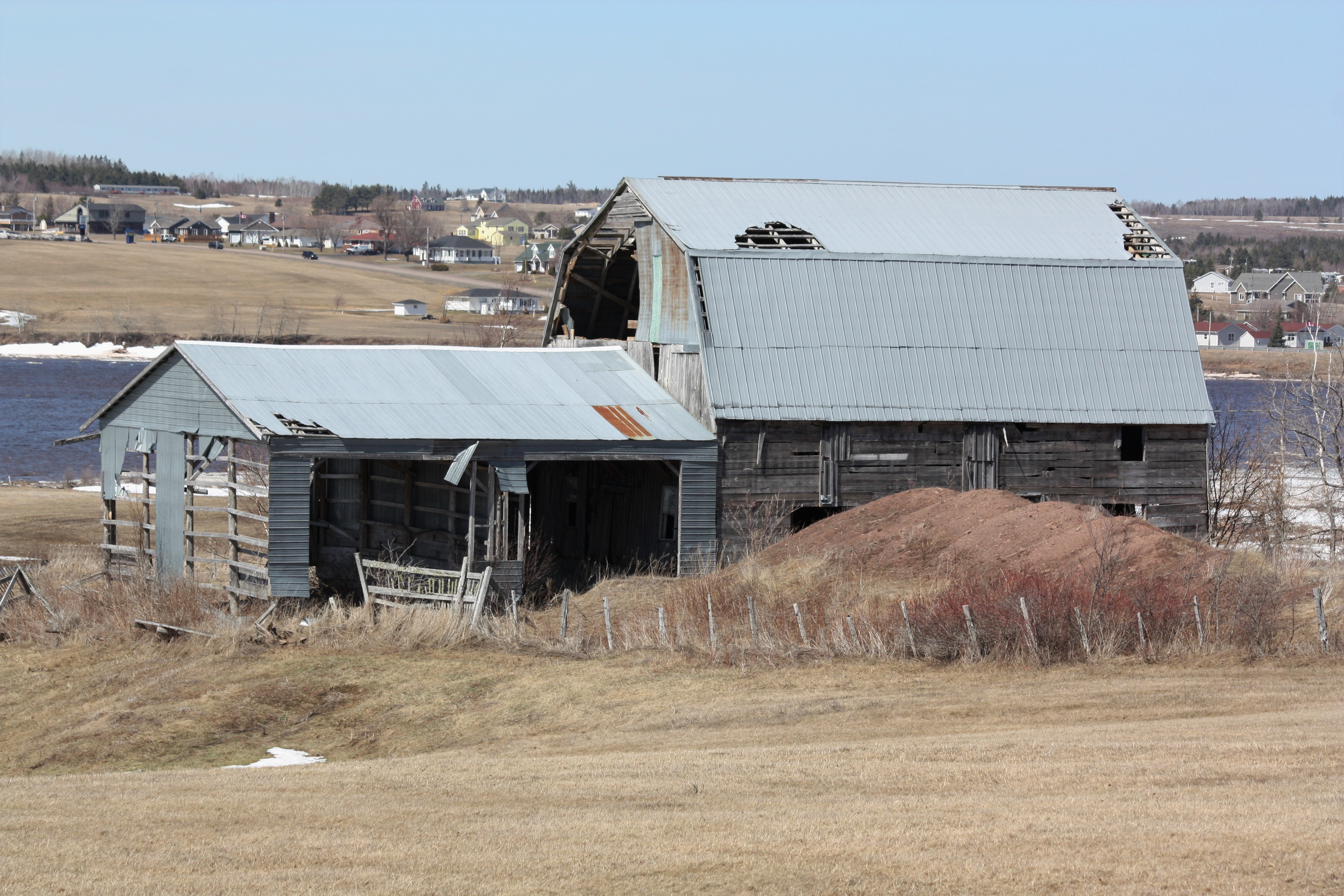
Old Barn- Upper Bouctouche, New Brunswick

Winter Camping
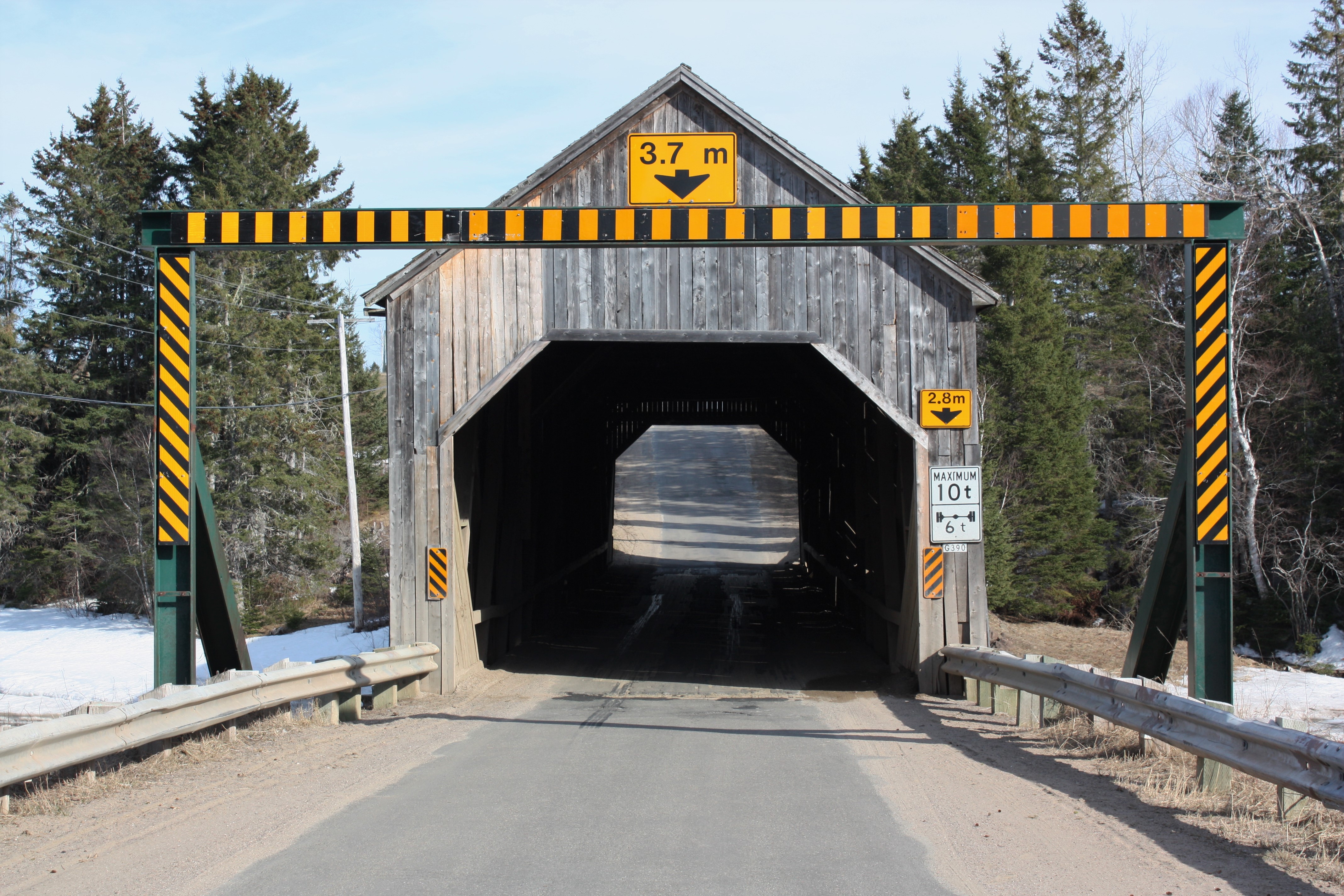
Graham Creek Covered Bridge- Main River, New Brunswick
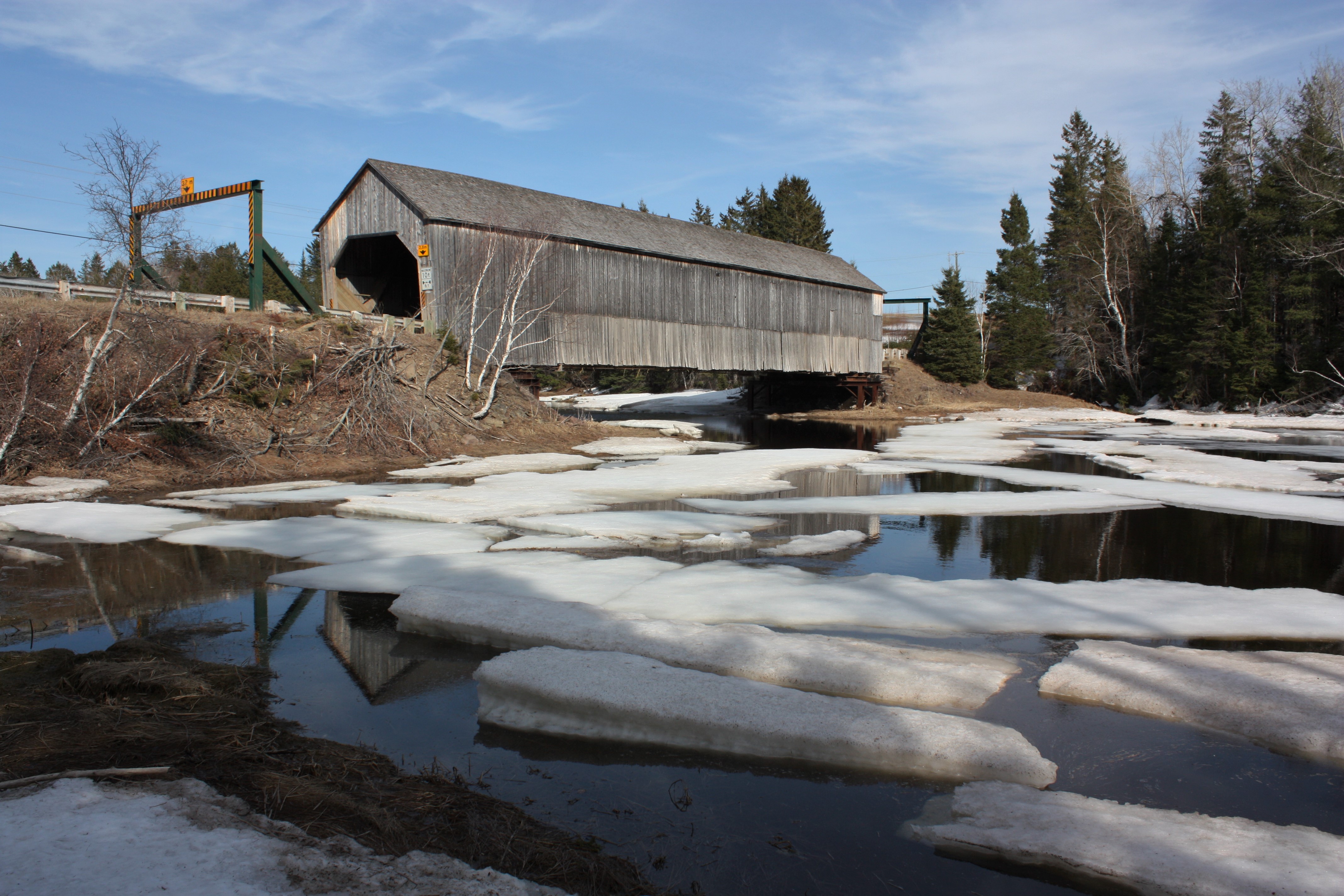
Graham Creek Covered Bridge- Main River, New Brunswick
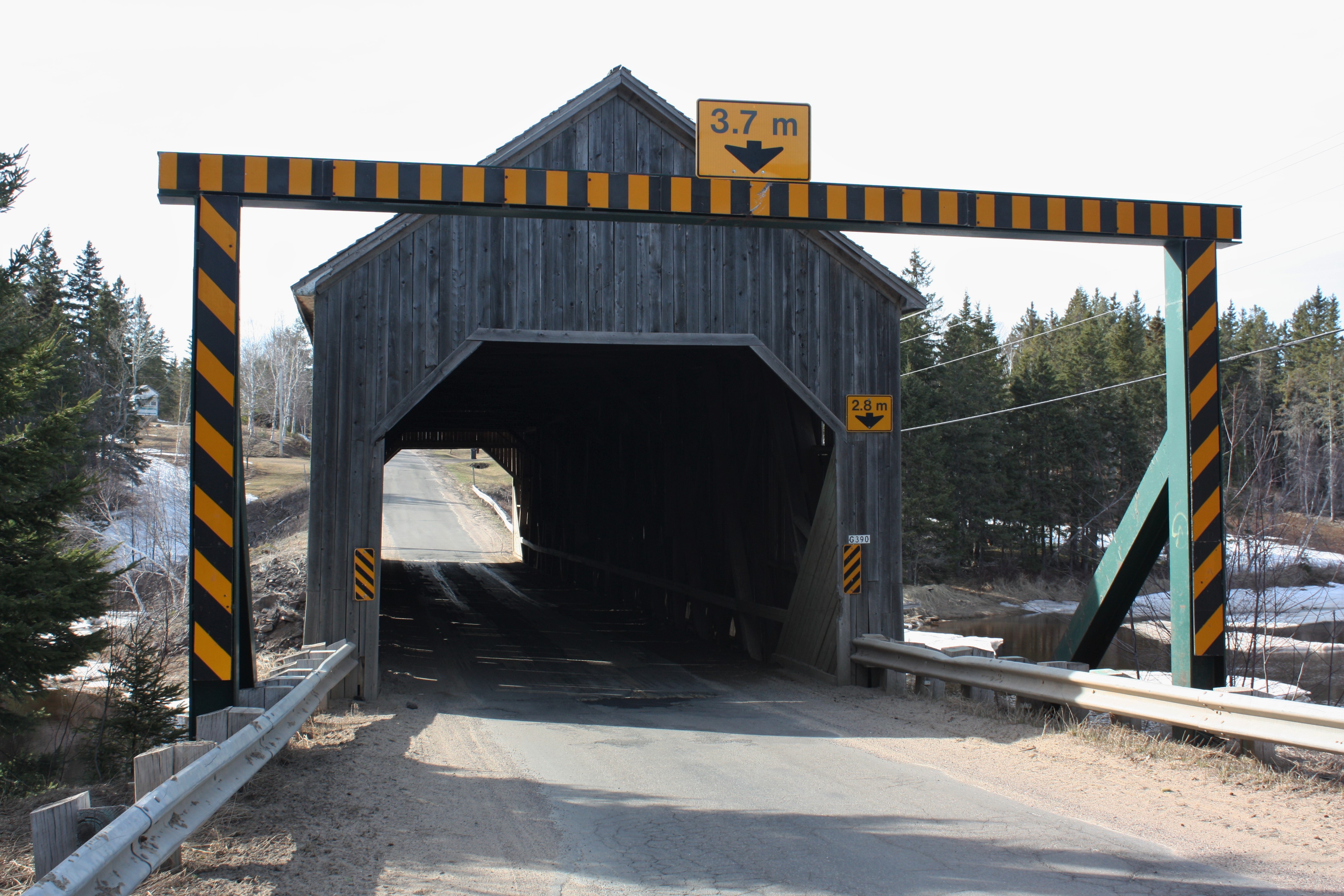
Graham Creek Covered Bridge- Main River, New Brunswick
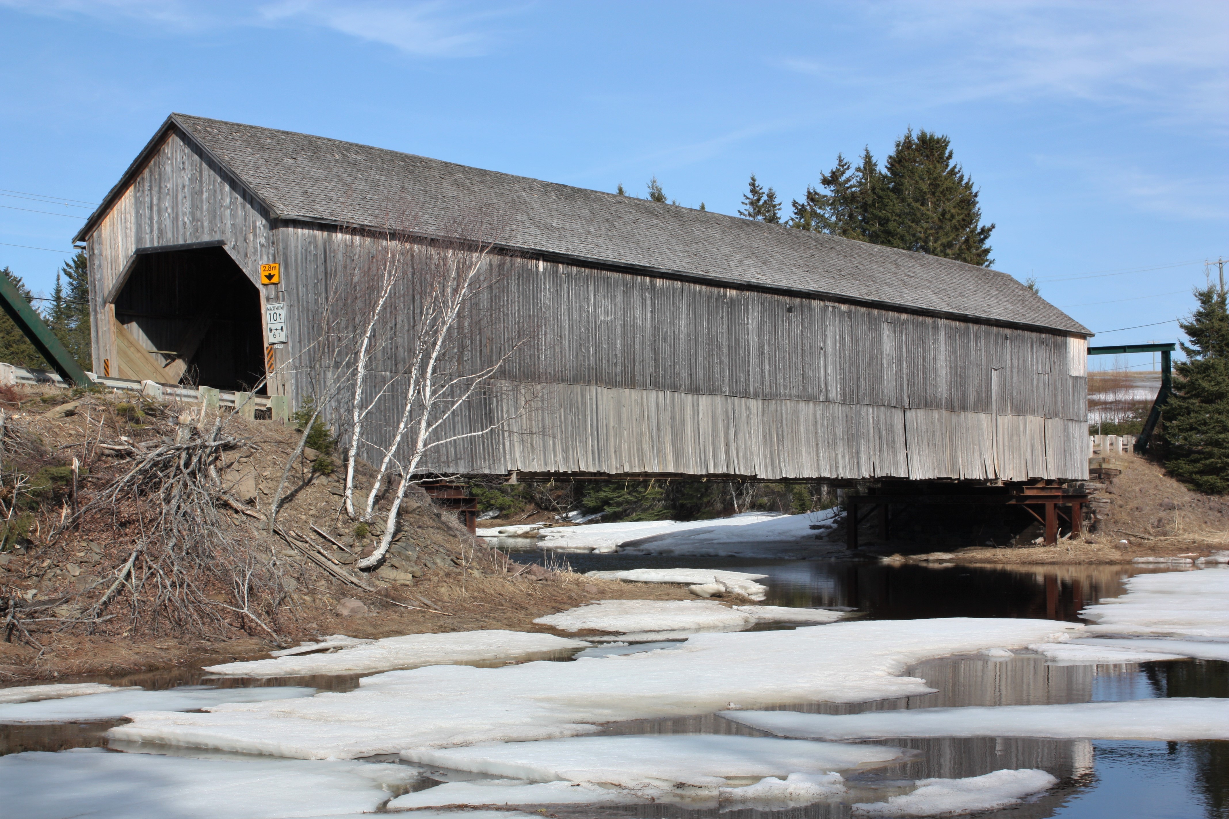
Graham Creek Covered Bridge- Main River, New Brunswick
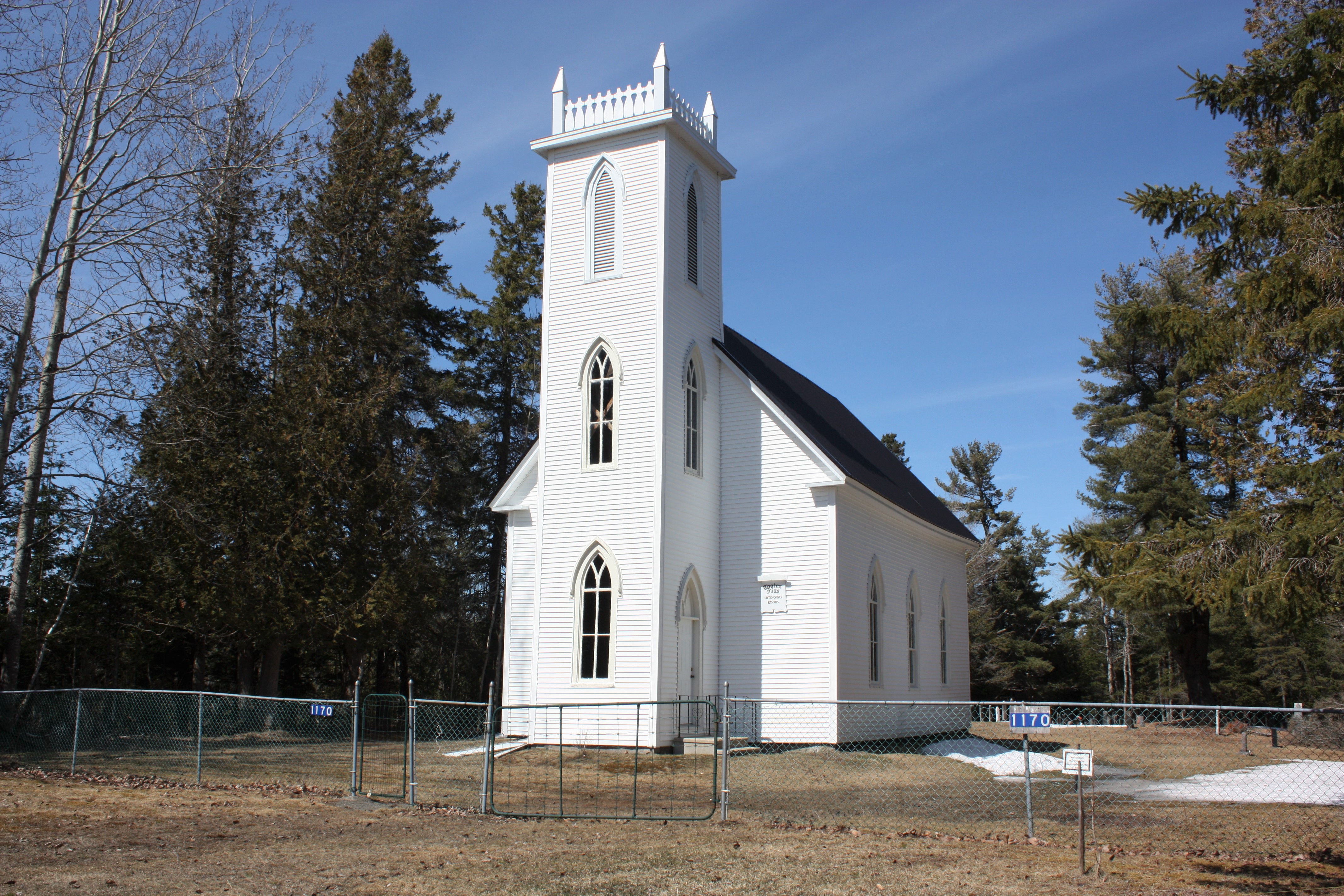
Coates Mills United Church- Coates Mills, New Brunswick
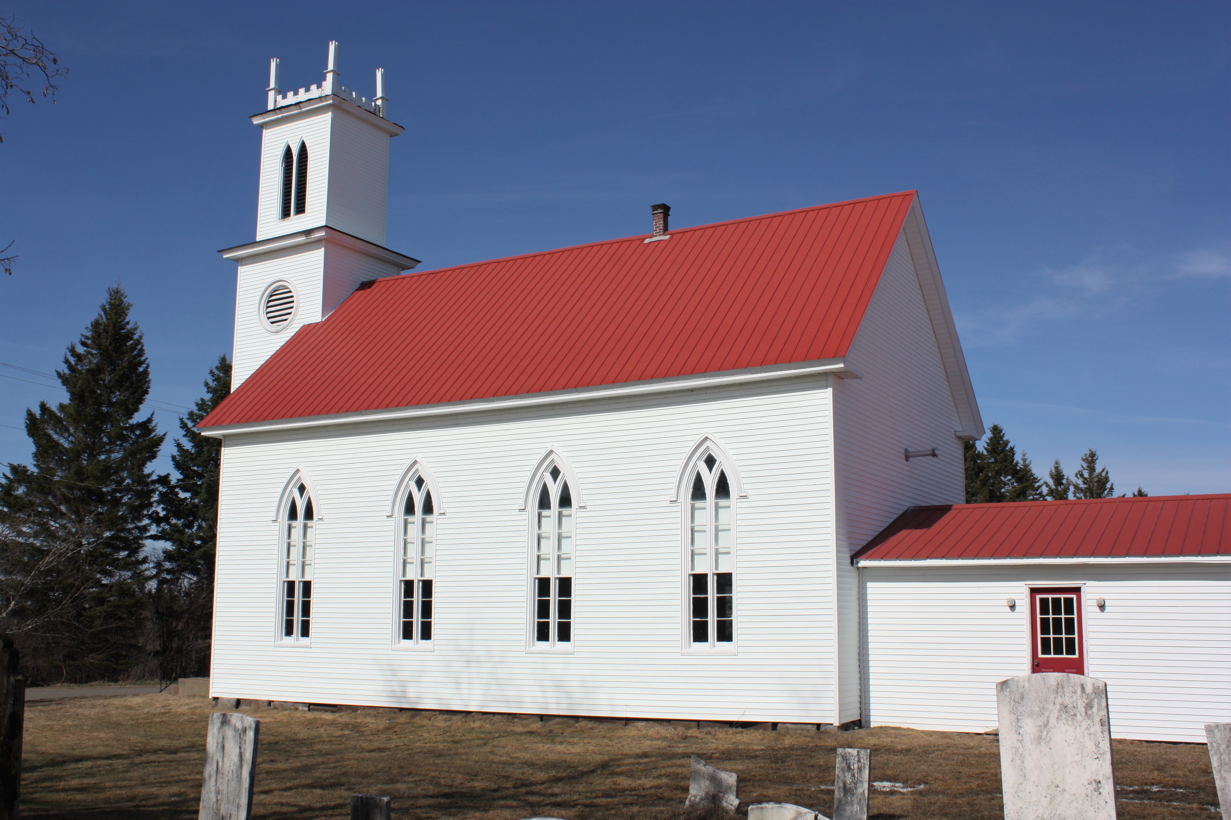
Zion Presbyterian Church- West Branch, New Brunswick
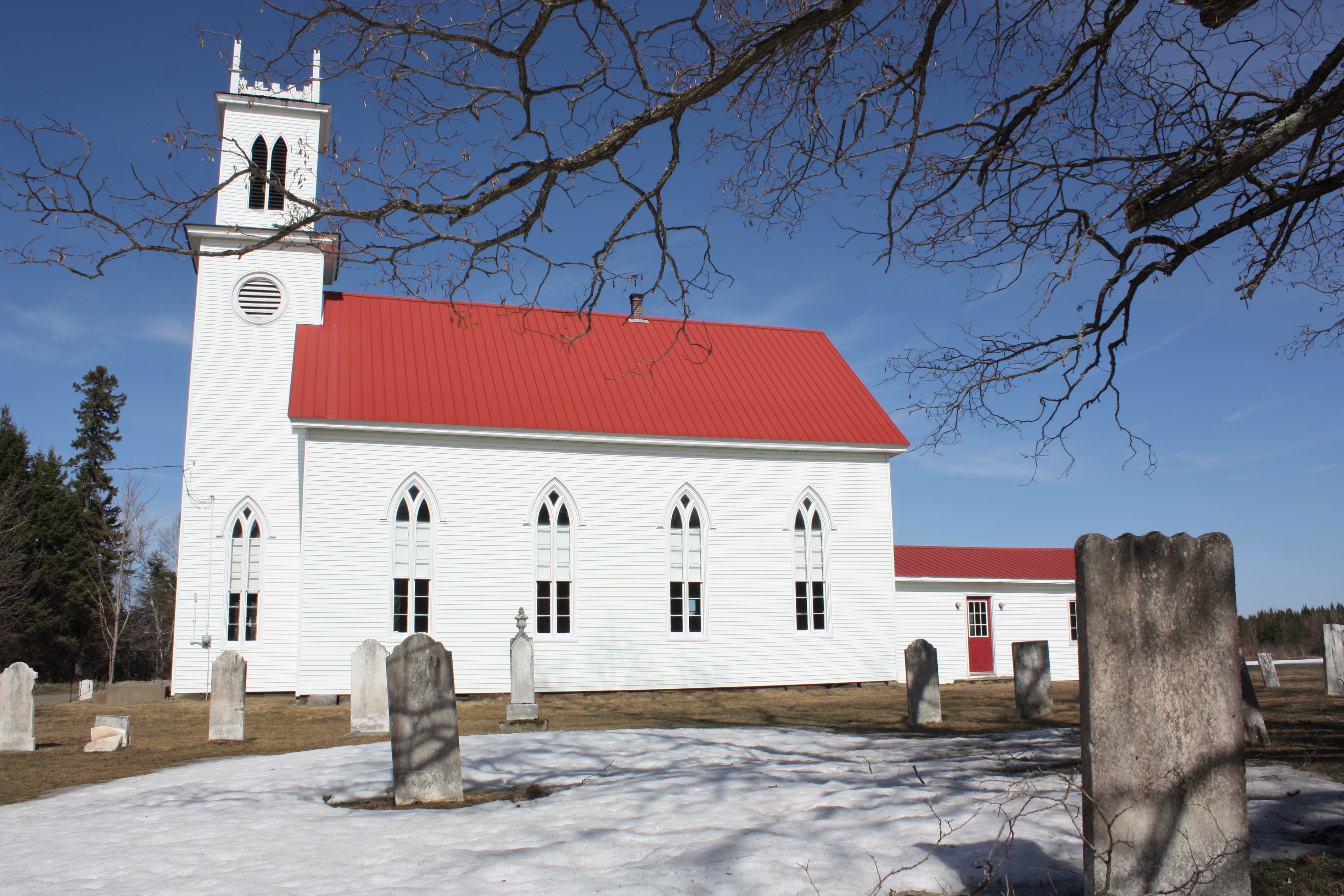
Zion Presbyterian Church- West Branch, New Brunswick
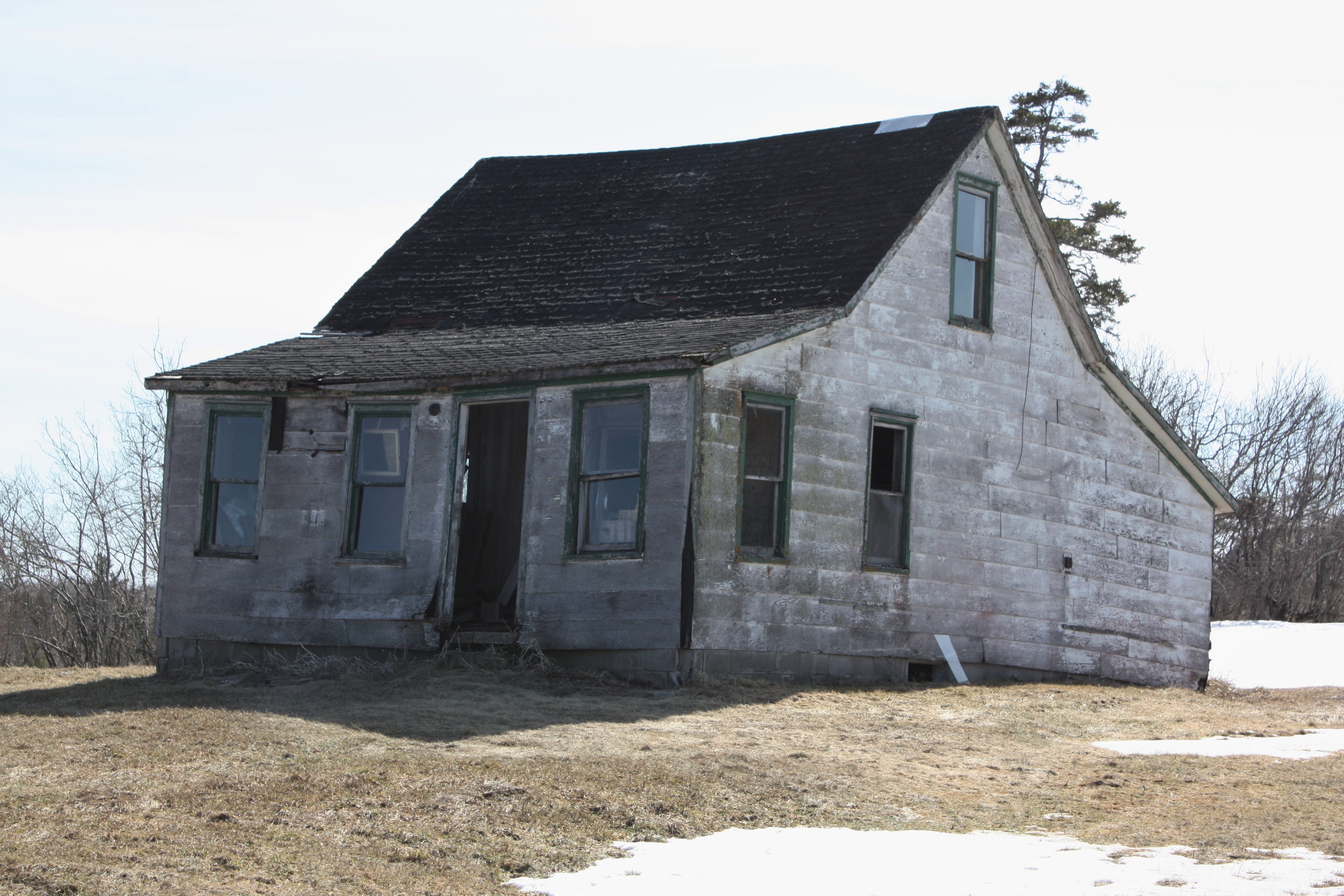
Abandoned House
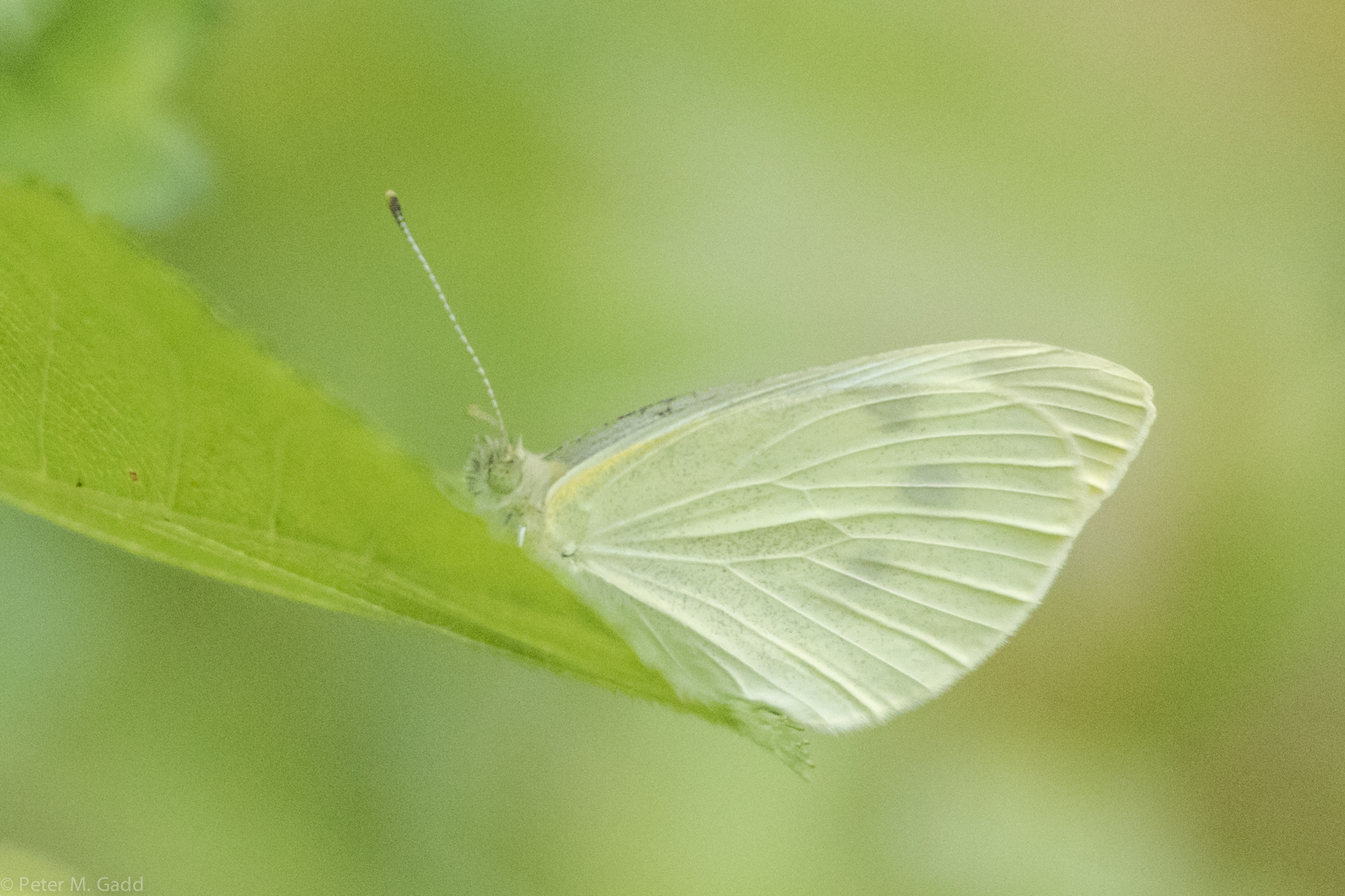
Cabbage White 20150726 Brown's Flat (5)
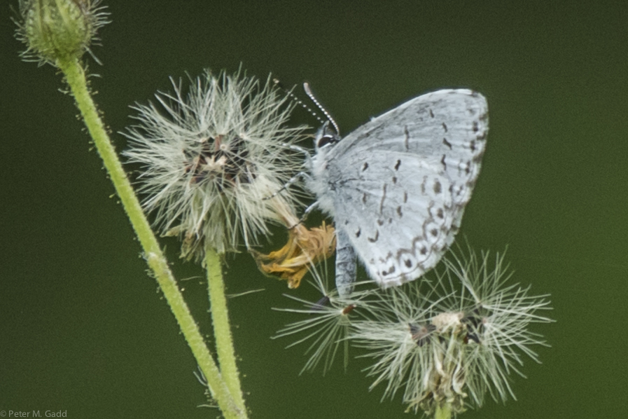
Summer Azure 20150726 Brown's Flat (3)
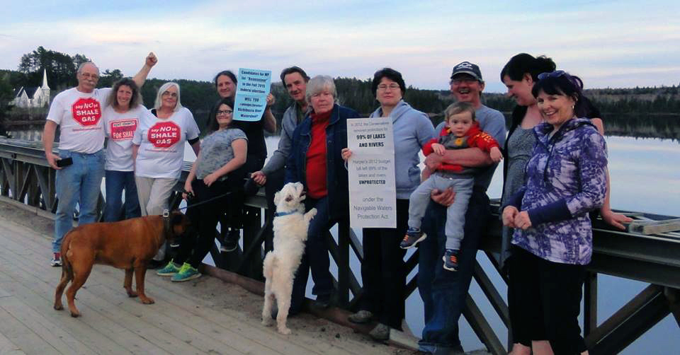
#Pledge2Protect ~ Brown's Yard, Kent County, NB on the Richibucto River
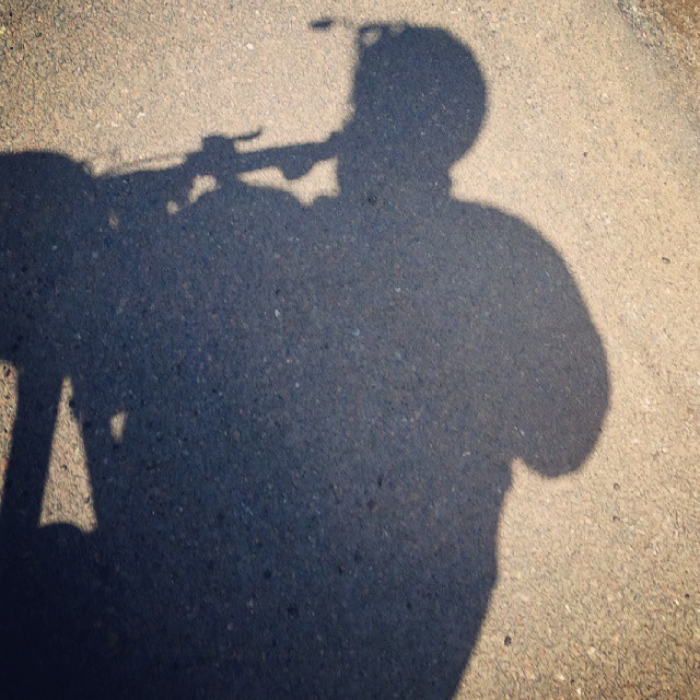
Nice sunny ride on my bike today. But was quite chilly. No excuses, bundle up, get on your bike and peddle. Bonne sortie en vélo, un peu frais mais un beau soleil. #shaddow #ombrage #soleil #sun #cycling #bike #vélo #cyclingfornoonebutme #ilovetocycl

Rolling into the distance

The little red barn in the corn field.

Church closed for the winter.
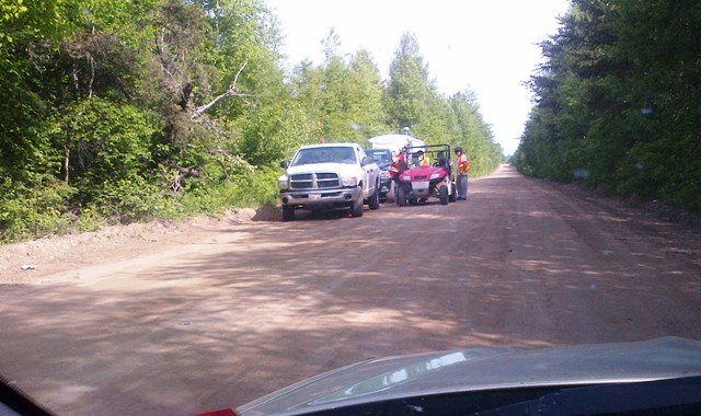
Frackers on 490 web(1)
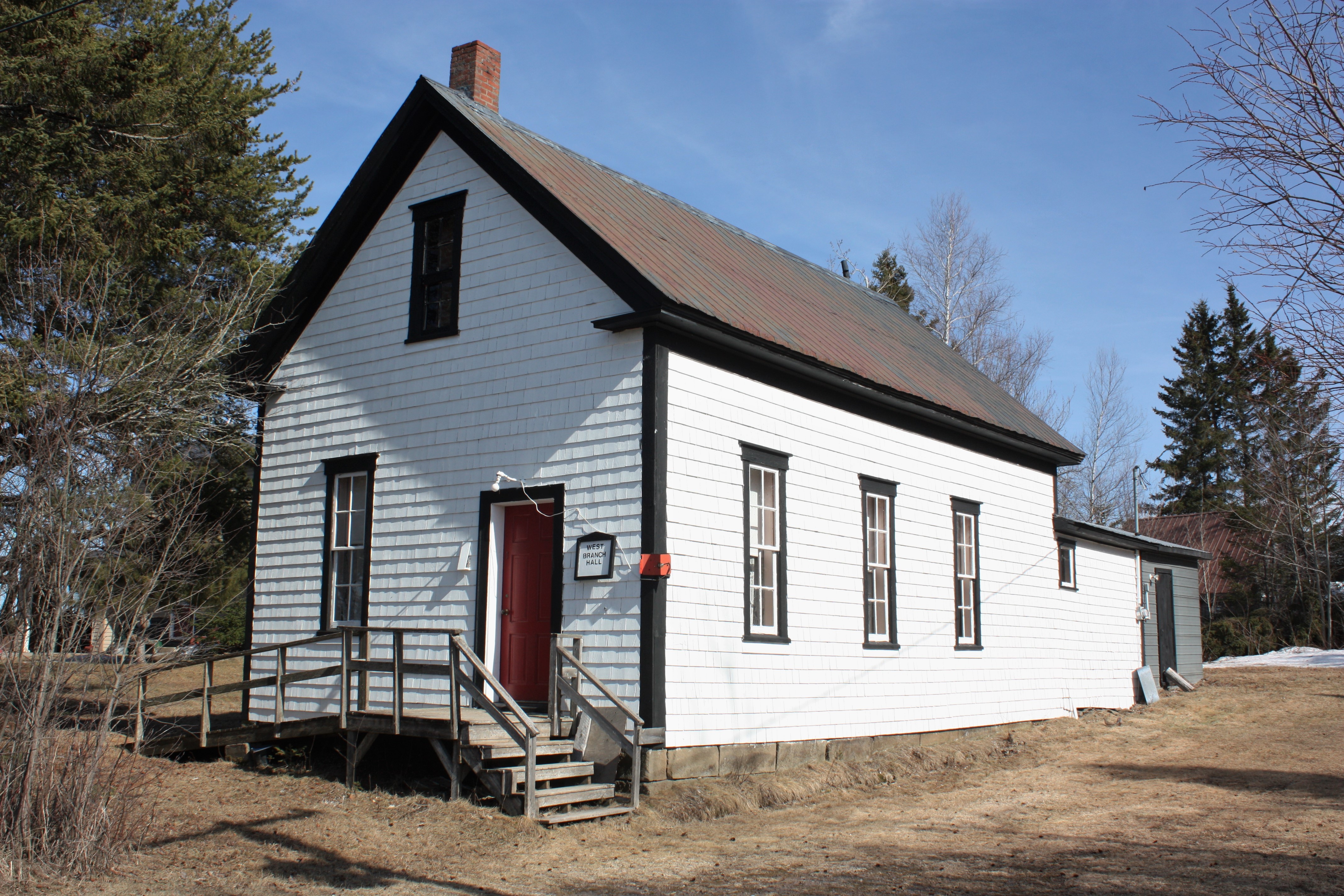
West Branch Hall- West Branch, New Brunswick

Over and Done
Mapa de Saint-Norbert, NB E4S 2S8, Canadá
Buscar otro lugar
Lugares cercanos
Chemin St Norbert, Saint-Norbert, NB E4S 2R8, Canadá
NB-, Weldford, NB E4W, Canadá
NB-, Sainte-Marie-de-Kent, NB E4S 1Z8, Canadá
Sainte-Marie-de-Kent, NB, Canadá
Nuevo Brunswick E4S, Canadá
Saint-Maurice, NB E4S 5E6, Canadá
Wellington, NB, Canadá
Sainte-Anne-de-Kent, NB E4S, Canadá
6 NB-, Sainte-Anne-de-Kent, NB E4S 1E6, Canadá
McIntosh Hill, NB E4S, Canadá
49 Rue Saint Jean Baptiste, Bouctouche, NB E4S 3W2, Canadá
Bouctouche, NB, Canadá
25 Rue Landry, Bouctouche, NB E4S 3N1, Canadá
Chemin Potts, McIntosh Hill, NB E4S 4L1, Canadá
2 Chemin Côte Ste Anne, Saint-Édouard-de-Kent, NB E4S 4Y1, Canadá
Saint-Jean-Baptiste, Bouctouche, NB E4S 3C1, Canadá
66 Chemin Hector, Saint-Grégoire, NB E4V 2N1, Canadá
Saint-Édouard-de-Kent, NB E4S, Canadá
Saint-Grégoire, NB E4V 2R5, Canadá
Bouctouche Bay Inn, Rue Acadie, Bouctouche, NB E4S 2T5, Canadá
Búsquedas recientes
- Horas de salida y puesta de sol de Red Dog Mine, AK, USA
- Horas de salida y puesta de sol de Am Bahnhof, Am bhf, Borken, Germany
- Horas de salida y puesta de sol de 4th St E, Sonoma, CA, EE. UU.
- Horas de salida y puesta de sol de Oakland Ave, Williamsport, PA, EE. UU.
- Horas de salida y puesta de sol de Via Roma, Pieranica CR, Italia
- Horas de salida y puesta de sol de Torre del reloj, Grad, Dubrovnik (Ragusa), Croacia
- Horas de salida y puesta de sol de Trelew, Chubut, Argentina
- Horas de salida y puesta de sol de Hartfords Bluff Cir, Mt Pleasant, SC, EE. UU.
- Horas de salida y puesta de sol de Kita Ward, Kumamoto, Japón
- Horas de salida y puesta de sol de Pingtan Island, Pingtan County, Fuzhou, China