Horas de salida y puesta de sol de Rock Camp Road, Rock Camp Rd, Renick, WV, EE. UU.
Location: Estados Unidos > Virginia Occidental > Condado de Greenbrier > Eastern > Falling Spring >
Zona horaria:
America/New_York
Hora local:
2025-06-25 03:51:32
Longitud:
-80.3765729
Latitud:
38.0730488
Salida de sol de hoy:
06:00:14 AM
Puesta de sol de hoy:
08:48:24 PM
La duración del día hoy:
14h 48m 10s
Salida de sol de mañana:
06:00:36 AM
Puesta de sol de mañana:
08:48:28 PM
La duración del día mañana:
14h 47m 52s
Mostrar todas las fechas
| Fecha | Salida de sol | Puesta de sol | Duración del día |
|---|---|---|---|
| 01/01/2025 | 07:37:49 AM | 05:13:25 PM | 9h 35m 36s |
| 02/01/2025 | 07:37:54 AM | 05:14:15 PM | 9h 36m 21s |
| 03/01/2025 | 07:37:57 AM | 05:15:07 PM | 9h 37m 10s |
| 04/01/2025 | 07:37:58 AM | 05:15:59 PM | 9h 38m 1s |
| 05/01/2025 | 07:37:57 AM | 05:16:53 PM | 9h 38m 56s |
| 06/01/2025 | 07:37:54 AM | 05:17:48 PM | 9h 39m 54s |
| 07/01/2025 | 07:37:49 AM | 05:18:44 PM | 9h 40m 55s |
| 08/01/2025 | 07:37:41 AM | 05:19:41 PM | 9h 42m 0s |
| 09/01/2025 | 07:37:32 AM | 05:20:39 PM | 9h 43m 7s |
| 10/01/2025 | 07:37:20 AM | 05:21:38 PM | 9h 44m 18s |
| 11/01/2025 | 07:37:07 AM | 05:22:38 PM | 9h 45m 31s |
| 12/01/2025 | 07:36:51 AM | 05:23:39 PM | 9h 46m 48s |
| 13/01/2025 | 07:36:33 AM | 05:24:40 PM | 9h 48m 7s |
| 14/01/2025 | 07:36:14 AM | 05:25:43 PM | 9h 49m 29s |
| 15/01/2025 | 07:35:52 AM | 05:26:45 PM | 9h 50m 53s |
| 16/01/2025 | 07:35:28 AM | 05:27:49 PM | 9h 52m 21s |
| 17/01/2025 | 07:35:02 AM | 05:28:53 PM | 9h 53m 51s |
| 18/01/2025 | 07:34:34 AM | 05:29:58 PM | 9h 55m 24s |
| 19/01/2025 | 07:34:05 AM | 05:31:03 PM | 9h 56m 58s |
| 20/01/2025 | 07:33:33 AM | 05:32:08 PM | 9h 58m 35s |
| 21/01/2025 | 07:32:59 AM | 05:33:14 PM | 10h 0m 15s |
| 22/01/2025 | 07:32:24 AM | 05:34:21 PM | 10h 1m 57s |
| 23/01/2025 | 07:31:46 AM | 05:35:27 PM | 10h 3m 41s |
| 24/01/2025 | 07:31:07 AM | 05:36:34 PM | 10h 5m 27s |
| 25/01/2025 | 07:30:26 AM | 05:37:41 PM | 10h 7m 15s |
| 26/01/2025 | 07:29:43 AM | 05:38:49 PM | 10h 9m 6s |
| 27/01/2025 | 07:28:58 AM | 05:39:56 PM | 10h 10m 58s |
| 28/01/2025 | 07:28:12 AM | 05:41:04 PM | 10h 12m 52s |
| 29/01/2025 | 07:27:24 AM | 05:42:11 PM | 10h 14m 47s |
| 30/01/2025 | 07:26:34 AM | 05:43:19 PM | 10h 16m 45s |
| 31/01/2025 | 07:25:43 AM | 05:44:27 PM | 10h 18m 44s |
| 01/02/2025 | 07:24:50 AM | 05:45:34 PM | 10h 20m 44s |
| 02/02/2025 | 07:23:55 AM | 05:46:42 PM | 10h 22m 47s |
| 03/02/2025 | 07:22:59 AM | 05:47:49 PM | 10h 24m 50s |
| 04/02/2025 | 07:22:01 AM | 05:48:57 PM | 10h 26m 56s |
| 05/02/2025 | 07:21:02 AM | 05:50:04 PM | 10h 29m 2s |
| 06/02/2025 | 07:20:01 AM | 05:51:12 PM | 10h 31m 11s |
| 07/02/2025 | 07:18:59 AM | 05:52:19 PM | 10h 33m 20s |
| 08/02/2025 | 07:17:56 AM | 05:53:25 PM | 10h 35m 29s |
| 09/02/2025 | 07:16:51 AM | 05:54:32 PM | 10h 37m 41s |
| 10/02/2025 | 07:15:45 AM | 05:55:39 PM | 10h 39m 54s |
| 11/02/2025 | 07:14:37 AM | 05:56:45 PM | 10h 42m 8s |
| 12/02/2025 | 07:13:29 AM | 05:57:51 PM | 10h 44m 22s |
| 13/02/2025 | 07:12:19 AM | 05:58:57 PM | 10h 46m 38s |
| 14/02/2025 | 07:11:07 AM | 06:00:02 PM | 10h 48m 55s |
| 15/02/2025 | 07:09:55 AM | 06:01:07 PM | 10h 51m 12s |
| 16/02/2025 | 07:08:42 AM | 06:02:12 PM | 10h 53m 30s |
| 17/02/2025 | 07:07:27 AM | 06:03:17 PM | 10h 55m 50s |
| 18/02/2025 | 07:06:12 AM | 06:04:21 PM | 10h 58m 9s |
| 19/02/2025 | 07:04:55 AM | 06:05:25 PM | 11h 0m 30s |
| 20/02/2025 | 07:03:38 AM | 06:06:29 PM | 11h 2m 51s |
| 21/02/2025 | 07:02:19 AM | 06:07:32 PM | 11h 5m 13s |
| 22/02/2025 | 07:01:00 AM | 06:08:35 PM | 11h 7m 35s |
| 23/02/2025 | 06:59:39 AM | 06:09:38 PM | 11h 9m 59s |
| 24/02/2025 | 06:58:18 AM | 06:10:40 PM | 11h 12m 22s |
| 25/02/2025 | 06:56:56 AM | 06:11:43 PM | 11h 14m 47s |
| 26/02/2025 | 06:55:33 AM | 06:12:44 PM | 11h 17m 11s |
| 27/02/2025 | 06:54:10 AM | 06:13:46 PM | 11h 19m 36s |
| 28/02/2025 | 06:52:46 AM | 06:14:47 PM | 11h 22m 1s |
| 01/03/2025 | 06:51:21 AM | 06:15:48 PM | 11h 24m 27s |
| 02/03/2025 | 06:49:55 AM | 06:16:48 PM | 11h 26m 53s |
| 03/03/2025 | 06:48:29 AM | 06:17:49 PM | 11h 29m 20s |
| 04/03/2025 | 06:47:02 AM | 06:18:49 PM | 11h 31m 47s |
| 05/03/2025 | 06:45:35 AM | 06:19:48 PM | 11h 34m 13s |
| 06/03/2025 | 06:44:07 AM | 06:20:48 PM | 11h 36m 41s |
| 07/03/2025 | 06:42:38 AM | 06:21:47 PM | 11h 39m 9s |
| 08/03/2025 | 06:41:09 AM | 06:22:46 PM | 11h 41m 37s |
| 09/03/2025 | 07:39:44 AM | 07:23:42 PM | 11h 43m 58s |
| 10/03/2025 | 07:38:14 AM | 07:24:40 PM | 11h 46m 26s |
| 11/03/2025 | 07:36:44 AM | 07:25:38 PM | 11h 48m 54s |
| 12/03/2025 | 07:35:14 AM | 07:26:36 PM | 11h 51m 22s |
| 13/03/2025 | 07:33:43 AM | 07:27:34 PM | 11h 53m 51s |
| 14/03/2025 | 07:32:12 AM | 07:28:32 PM | 11h 56m 20s |
| 15/03/2025 | 07:30:41 AM | 07:29:29 PM | 11h 58m 48s |
| 16/03/2025 | 07:29:09 AM | 07:30:26 PM | 12h 1m 17s |
| 17/03/2025 | 07:27:37 AM | 07:31:23 PM | 12h 3m 46s |
| 18/03/2025 | 07:26:05 AM | 07:32:20 PM | 12h 6m 15s |
| 19/03/2025 | 07:24:34 AM | 07:33:16 PM | 12h 8m 42s |
| 20/03/2025 | 07:23:01 AM | 07:34:13 PM | 12h 11m 12s |
| 21/03/2025 | 07:21:29 AM | 07:35:09 PM | 12h 13m 40s |
| 22/03/2025 | 07:19:57 AM | 07:36:05 PM | 12h 16m 8s |
| 23/03/2025 | 07:18:25 AM | 07:37:01 PM | 12h 18m 36s |
| 24/03/2025 | 07:16:53 AM | 07:37:57 PM | 12h 21m 4s |
| 25/03/2025 | 07:15:21 AM | 07:38:53 PM | 12h 23m 32s |
| 26/03/2025 | 07:13:49 AM | 07:39:49 PM | 12h 26m 0s |
| 27/03/2025 | 07:12:17 AM | 07:40:45 PM | 12h 28m 28s |
| 28/03/2025 | 07:10:45 AM | 07:41:41 PM | 12h 30m 56s |
| 29/03/2025 | 07:09:13 AM | 07:42:36 PM | 12h 33m 23s |
| 30/03/2025 | 07:07:42 AM | 07:43:32 PM | 12h 35m 50s |
| 31/03/2025 | 07:06:10 AM | 07:44:27 PM | 12h 38m 17s |
| 01/04/2025 | 07:04:40 AM | 07:45:23 PM | 12h 40m 43s |
| 02/04/2025 | 07:03:09 AM | 07:46:19 PM | 12h 43m 10s |
| 03/04/2025 | 07:01:39 AM | 07:47:14 PM | 12h 45m 35s |
| 04/04/2025 | 07:00:09 AM | 07:48:10 PM | 12h 48m 1s |
| 05/04/2025 | 06:58:39 AM | 07:49:05 PM | 12h 50m 26s |
| 06/04/2025 | 06:57:10 AM | 07:50:01 PM | 12h 52m 51s |
| 07/04/2025 | 06:55:41 AM | 07:50:56 PM | 12h 55m 15s |
| 08/04/2025 | 06:54:13 AM | 07:51:52 PM | 12h 57m 39s |
| 09/04/2025 | 06:52:45 AM | 07:52:47 PM | 13h 0m 2s |
| 10/04/2025 | 06:51:18 AM | 07:53:43 PM | 13h 2m 25s |
| 11/04/2025 | 06:49:51 AM | 07:54:39 PM | 13h 4m 48s |
| 12/04/2025 | 06:48:25 AM | 07:55:34 PM | 13h 7m 9s |
| 13/04/2025 | 06:46:59 AM | 07:56:30 PM | 13h 9m 31s |
| 14/04/2025 | 06:45:34 AM | 07:57:26 PM | 13h 11m 52s |
| 15/04/2025 | 06:44:10 AM | 07:58:22 PM | 13h 14m 12s |
| 16/04/2025 | 06:42:47 AM | 07:59:17 PM | 13h 16m 30s |
| 17/04/2025 | 06:41:24 AM | 08:00:13 PM | 13h 18m 49s |
| 18/04/2025 | 06:40:02 AM | 08:01:09 PM | 13h 21m 7s |
| 19/04/2025 | 06:38:41 AM | 08:02:05 PM | 13h 23m 24s |
| 20/04/2025 | 06:37:21 AM | 08:03:01 PM | 13h 25m 40s |
| 21/04/2025 | 06:36:01 AM | 08:03:57 PM | 13h 27m 56s |
| 22/04/2025 | 06:34:42 AM | 08:04:53 PM | 13h 30m 11s |
| 23/04/2025 | 06:33:25 AM | 08:05:49 PM | 13h 32m 24s |
| 24/04/2025 | 06:32:08 AM | 08:06:45 PM | 13h 34m 37s |
| 25/04/2025 | 06:30:52 AM | 08:07:41 PM | 13h 36m 49s |
| 26/04/2025 | 06:29:38 AM | 08:08:37 PM | 13h 38m 59s |
| 27/04/2025 | 06:28:24 AM | 08:09:33 PM | 13h 41m 9s |
| 28/04/2025 | 06:27:11 AM | 08:10:29 PM | 13h 43m 18s |
| 29/04/2025 | 06:26:00 AM | 08:11:25 PM | 13h 45m 25s |
| 30/04/2025 | 06:24:49 AM | 08:12:21 PM | 13h 47m 32s |
| 01/05/2025 | 06:23:40 AM | 08:13:17 PM | 13h 49m 37s |
| 02/05/2025 | 06:22:32 AM | 08:14:12 PM | 13h 51m 40s |
| 03/05/2025 | 06:21:25 AM | 08:15:08 PM | 13h 53m 43s |
| 04/05/2025 | 06:20:20 AM | 08:16:03 PM | 13h 55m 43s |
| 05/05/2025 | 06:19:16 AM | 08:16:58 PM | 13h 57m 42s |
| 06/05/2025 | 06:18:13 AM | 08:17:54 PM | 13h 59m 41s |
| 07/05/2025 | 06:17:11 AM | 08:18:48 PM | 14h 1m 37s |
| 08/05/2025 | 06:16:11 AM | 08:19:43 PM | 14h 3m 32s |
| 09/05/2025 | 06:15:12 AM | 08:20:37 PM | 14h 5m 25s |
| 10/05/2025 | 06:14:14 AM | 08:21:32 PM | 14h 7m 18s |
| 11/05/2025 | 06:13:18 AM | 08:22:25 PM | 14h 9m 7s |
| 12/05/2025 | 06:12:24 AM | 08:23:19 PM | 14h 10m 55s |
| 13/05/2025 | 06:11:31 AM | 08:24:12 PM | 14h 12m 41s |
| 14/05/2025 | 06:10:39 AM | 08:25:05 PM | 14h 14m 26s |
| 15/05/2025 | 06:09:49 AM | 08:25:57 PM | 14h 16m 8s |
| 16/05/2025 | 06:09:00 AM | 08:26:49 PM | 14h 17m 49s |
| 17/05/2025 | 06:08:14 AM | 08:27:41 PM | 14h 19m 27s |
| 18/05/2025 | 06:07:28 AM | 08:28:32 PM | 14h 21m 4s |
| 19/05/2025 | 06:06:45 AM | 08:29:22 PM | 14h 22m 37s |
| 20/05/2025 | 06:06:03 AM | 08:30:12 PM | 14h 24m 9s |
| 21/05/2025 | 06:05:22 AM | 08:31:01 PM | 14h 25m 39s |
| 22/05/2025 | 06:04:44 AM | 08:31:50 PM | 14h 27m 6s |
| 23/05/2025 | 06:04:07 AM | 08:32:38 PM | 14h 28m 31s |
| 24/05/2025 | 06:03:31 AM | 08:33:25 PM | 14h 29m 54s |
| 25/05/2025 | 06:02:58 AM | 08:34:11 PM | 14h 31m 13s |
| 26/05/2025 | 06:02:26 AM | 08:34:57 PM | 14h 32m 31s |
| 27/05/2025 | 06:01:56 AM | 08:35:42 PM | 14h 33m 46s |
| 28/05/2025 | 06:01:28 AM | 08:36:26 PM | 14h 34m 58s |
| 29/05/2025 | 06:01:02 AM | 08:37:09 PM | 14h 36m 7s |
| 30/05/2025 | 06:00:37 AM | 08:37:51 PM | 14h 37m 14s |
| 31/05/2025 | 06:00:14 AM | 08:38:32 PM | 14h 38m 18s |
| 01/06/2025 | 05:59:53 AM | 08:39:12 PM | 14h 39m 19s |
| 02/06/2025 | 05:59:34 AM | 08:39:50 PM | 14h 40m 16s |
| 03/06/2025 | 05:59:17 AM | 08:40:28 PM | 14h 41m 11s |
| 04/06/2025 | 05:59:01 AM | 08:41:05 PM | 14h 42m 4s |
| 05/06/2025 | 05:58:48 AM | 08:41:40 PM | 14h 42m 52s |
| 06/06/2025 | 05:58:36 AM | 08:42:15 PM | 14h 43m 39s |
| 07/06/2025 | 05:58:26 AM | 08:42:48 PM | 14h 44m 22s |
| 08/06/2025 | 05:58:18 AM | 08:43:19 PM | 14h 45m 1s |
| 09/06/2025 | 05:58:11 AM | 08:43:50 PM | 14h 45m 39s |
| 10/06/2025 | 05:58:07 AM | 08:44:19 PM | 14h 46m 12s |
| 11/06/2025 | 05:58:04 AM | 08:44:46 PM | 14h 46m 42s |
| 12/06/2025 | 05:58:03 AM | 08:45:12 PM | 14h 47m 9s |
| 13/06/2025 | 05:58:04 AM | 08:45:37 PM | 14h 47m 33s |
| 14/06/2025 | 05:58:06 AM | 08:46:00 PM | 14h 47m 54s |
| 15/06/2025 | 05:58:10 AM | 08:46:22 PM | 14h 48m 12s |
| 16/06/2025 | 05:58:16 AM | 08:46:42 PM | 14h 48m 26s |
| 17/06/2025 | 05:58:24 AM | 08:47:00 PM | 14h 48m 36s |
| 18/06/2025 | 05:58:33 AM | 08:47:17 PM | 14h 48m 44s |
| 19/06/2025 | 05:58:44 AM | 08:47:32 PM | 14h 48m 48s |
| 20/06/2025 | 05:58:57 AM | 08:47:45 PM | 14h 48m 48s |
| 21/06/2025 | 05:59:12 AM | 08:47:57 PM | 14h 48m 45s |
| 22/06/2025 | 05:59:27 AM | 08:48:07 PM | 14h 48m 40s |
| 23/06/2025 | 05:59:45 AM | 08:48:15 PM | 14h 48m 30s |
| 24/06/2025 | 06:00:04 AM | 08:48:22 PM | 14h 48m 18s |
| 25/06/2025 | 06:00:25 AM | 08:48:26 PM | 14h 48m 1s |
| 26/06/2025 | 06:00:47 AM | 08:48:29 PM | 14h 47m 42s |
| 27/06/2025 | 06:01:10 AM | 08:48:30 PM | 14h 47m 20s |
| 28/06/2025 | 06:01:35 AM | 08:48:30 PM | 14h 46m 55s |
| 29/06/2025 | 06:02:01 AM | 08:48:27 PM | 14h 46m 26s |
| 30/06/2025 | 06:02:29 AM | 08:48:23 PM | 14h 45m 54s |
| 01/07/2025 | 06:02:58 AM | 08:48:16 PM | 14h 45m 18s |
| 02/07/2025 | 06:03:28 AM | 08:48:08 PM | 14h 44m 40s |
| 03/07/2025 | 06:04:00 AM | 08:47:58 PM | 14h 43m 58s |
| 04/07/2025 | 06:04:33 AM | 08:47:46 PM | 14h 43m 13s |
| 05/07/2025 | 06:05:07 AM | 08:47:33 PM | 14h 42m 26s |
| 06/07/2025 | 06:05:42 AM | 08:47:17 PM | 14h 41m 35s |
| 07/07/2025 | 06:06:18 AM | 08:47:00 PM | 14h 40m 42s |
| 08/07/2025 | 06:06:55 AM | 08:46:40 PM | 14h 39m 45s |
| 09/07/2025 | 06:07:33 AM | 08:46:19 PM | 14h 38m 46s |
| 10/07/2025 | 06:08:12 AM | 08:45:56 PM | 14h 37m 44s |
| 11/07/2025 | 06:08:52 AM | 08:45:31 PM | 14h 36m 39s |
| 12/07/2025 | 06:09:33 AM | 08:45:04 PM | 14h 35m 31s |
| 13/07/2025 | 06:10:15 AM | 08:44:36 PM | 14h 34m 21s |
| 14/07/2025 | 06:10:58 AM | 08:44:06 PM | 14h 33m 8s |
| 15/07/2025 | 06:11:41 AM | 08:43:33 PM | 14h 31m 52s |
| 16/07/2025 | 06:12:25 AM | 08:43:00 PM | 14h 30m 35s |
| 17/07/2025 | 06:13:10 AM | 08:42:24 PM | 14h 29m 14s |
| 18/07/2025 | 06:13:56 AM | 08:41:46 PM | 14h 27m 50s |
| 19/07/2025 | 06:14:42 AM | 08:41:07 PM | 14h 26m 25s |
| 20/07/2025 | 06:15:29 AM | 08:40:26 PM | 14h 24m 57s |
| 21/07/2025 | 06:16:16 AM | 08:39:44 PM | 14h 23m 28s |
| 22/07/2025 | 06:17:04 AM | 08:38:59 PM | 14h 21m 55s |
| 23/07/2025 | 06:17:52 AM | 08:38:14 PM | 14h 20m 22s |
| 24/07/2025 | 06:18:41 AM | 08:37:26 PM | 14h 18m 45s |
| 25/07/2025 | 06:19:30 AM | 08:36:37 PM | 14h 17m 7s |
| 26/07/2025 | 06:20:20 AM | 08:35:46 PM | 14h 15m 26s |
| 27/07/2025 | 06:21:10 AM | 08:34:54 PM | 14h 13m 44s |
| 28/07/2025 | 06:22:00 AM | 08:34:00 PM | 14h 12m 0s |
| 29/07/2025 | 06:22:51 AM | 08:33:04 PM | 14h 10m 13s |
| 30/07/2025 | 06:23:42 AM | 08:32:08 PM | 14h 8m 26s |
| 31/07/2025 | 06:24:33 AM | 08:31:09 PM | 14h 6m 36s |
| 01/08/2025 | 06:25:24 AM | 08:30:09 PM | 14h 4m 45s |
| 02/08/2025 | 06:26:16 AM | 08:29:08 PM | 14h 2m 52s |
| 03/08/2025 | 06:27:07 AM | 08:28:06 PM | 14h 0m 59s |
| 04/08/2025 | 06:27:59 AM | 08:27:02 PM | 13h 59m 3s |
| 05/08/2025 | 06:28:51 AM | 08:25:56 PM | 13h 57m 5s |
| 06/08/2025 | 06:29:43 AM | 08:24:50 PM | 13h 55m 7s |
| 07/08/2025 | 06:30:36 AM | 08:23:42 PM | 13h 53m 6s |
| 08/08/2025 | 06:31:28 AM | 08:22:33 PM | 13h 51m 5s |
| 09/08/2025 | 06:32:20 AM | 08:21:23 PM | 13h 49m 3s |
| 10/08/2025 | 06:33:13 AM | 08:20:11 PM | 13h 46m 58s |
| 11/08/2025 | 06:34:05 AM | 08:18:59 PM | 13h 44m 54s |
| 12/08/2025 | 06:34:57 AM | 08:17:45 PM | 13h 42m 48s |
| 13/08/2025 | 06:35:50 AM | 08:16:30 PM | 13h 40m 40s |
| 14/08/2025 | 06:36:42 AM | 08:15:14 PM | 13h 38m 32s |
| 15/08/2025 | 06:37:35 AM | 08:13:57 PM | 13h 36m 22s |
| 16/08/2025 | 06:38:27 AM | 08:12:39 PM | 13h 34m 12s |
| 17/08/2025 | 06:39:19 AM | 08:11:20 PM | 13h 32m 1s |
| 18/08/2025 | 06:40:12 AM | 08:10:00 PM | 13h 29m 48s |
| 19/08/2025 | 06:41:04 AM | 08:08:40 PM | 13h 27m 36s |
| 20/08/2025 | 06:41:56 AM | 08:07:18 PM | 13h 25m 22s |
| 21/08/2025 | 06:42:48 AM | 08:05:56 PM | 13h 23m 8s |
| 22/08/2025 | 06:43:40 AM | 08:04:32 PM | 13h 20m 52s |
| 23/08/2025 | 06:44:32 AM | 08:03:08 PM | 13h 18m 36s |
| 24/08/2025 | 06:45:24 AM | 08:01:43 PM | 13h 16m 19s |
| 25/08/2025 | 06:46:16 AM | 08:00:18 PM | 13h 14m 2s |
| 26/08/2025 | 06:47:07 AM | 07:58:51 PM | 13h 11m 44s |
| 27/08/2025 | 06:47:59 AM | 07:57:24 PM | 13h 9m 25s |
| 28/08/2025 | 06:48:51 AM | 07:55:57 PM | 13h 7m 6s |
| 29/08/2025 | 06:49:42 AM | 07:54:28 PM | 13h 4m 46s |
| 30/08/2025 | 06:50:34 AM | 07:52:59 PM | 13h 2m 25s |
| 31/08/2025 | 06:51:25 AM | 07:51:30 PM | 13h 0m 5s |
| 01/09/2025 | 06:52:17 AM | 07:50:00 PM | 12h 57m 43s |
| 02/09/2025 | 06:53:08 AM | 07:48:30 PM | 12h 55m 22s |
| 03/09/2025 | 06:53:59 AM | 07:46:59 PM | 12h 53m 0s |
| 04/09/2025 | 06:54:50 AM | 07:45:27 PM | 12h 50m 37s |
| 05/09/2025 | 06:55:42 AM | 07:43:56 PM | 12h 48m 14s |
| 06/09/2025 | 06:56:33 AM | 07:42:23 PM | 12h 45m 50s |
| 07/09/2025 | 06:57:24 AM | 07:40:51 PM | 12h 43m 27s |
| 08/09/2025 | 06:58:15 AM | 07:39:18 PM | 12h 41m 3s |
| 09/09/2025 | 06:59:06 AM | 07:37:45 PM | 12h 38m 39s |
| 10/09/2025 | 06:59:57 AM | 07:36:12 PM | 12h 36m 15s |
| 11/09/2025 | 07:00:49 AM | 07:34:38 PM | 12h 33m 49s |
| 12/09/2025 | 07:01:40 AM | 07:33:04 PM | 12h 31m 24s |
| 13/09/2025 | 07:02:31 AM | 07:31:30 PM | 12h 28m 59s |
| 14/09/2025 | 07:03:22 AM | 07:29:56 PM | 12h 26m 34s |
| 15/09/2025 | 07:04:14 AM | 07:28:22 PM | 12h 24m 8s |
| 16/09/2025 | 07:05:05 AM | 07:26:48 PM | 12h 21m 43s |
| 17/09/2025 | 07:05:57 AM | 07:25:13 PM | 12h 19m 16s |
| 18/09/2025 | 07:06:48 AM | 07:23:39 PM | 12h 16m 51s |
| 19/09/2025 | 07:07:40 AM | 07:22:04 PM | 12h 14m 24s |
| 20/09/2025 | 07:08:32 AM | 07:20:30 PM | 12h 11m 58s |
| 21/09/2025 | 07:09:24 AM | 07:18:56 PM | 12h 9m 32s |
| 22/09/2025 | 07:10:16 AM | 07:17:22 PM | 12h 7m 6s |
| 23/09/2025 | 07:11:08 AM | 07:15:47 PM | 12h 4m 39s |
| 24/09/2025 | 07:12:00 AM | 07:14:13 PM | 12h 2m 13s |
| 25/09/2025 | 07:12:53 AM | 07:12:40 PM | 11h 59m 47s |
| 26/09/2025 | 07:13:46 AM | 07:11:06 PM | 11h 57m 20s |
| 27/09/2025 | 07:14:38 AM | 07:09:33 PM | 11h 54m 55s |
| 28/09/2025 | 07:15:32 AM | 07:08:00 PM | 11h 52m 28s |
| 29/09/2025 | 07:16:25 AM | 07:06:27 PM | 11h 50m 2s |
| 30/09/2025 | 07:17:19 AM | 07:04:54 PM | 11h 47m 35s |
| 01/10/2025 | 07:18:12 AM | 07:03:22 PM | 11h 45m 10s |
| 02/10/2025 | 07:19:06 AM | 07:01:50 PM | 11h 42m 44s |
| 03/10/2025 | 07:20:01 AM | 07:00:19 PM | 11h 40m 18s |
| 04/10/2025 | 07:20:55 AM | 06:58:48 PM | 11h 37m 53s |
| 05/10/2025 | 07:21:50 AM | 06:57:18 PM | 11h 35m 28s |
| 06/10/2025 | 07:22:45 AM | 06:55:48 PM | 11h 33m 3s |
| 07/10/2025 | 07:23:41 AM | 06:54:19 PM | 11h 30m 38s |
| 08/10/2025 | 07:24:37 AM | 06:52:50 PM | 11h 28m 13s |
| 09/10/2025 | 07:25:33 AM | 06:51:22 PM | 11h 25m 49s |
| 10/10/2025 | 07:26:29 AM | 06:49:54 PM | 11h 23m 25s |
| 11/10/2025 | 07:27:26 AM | 06:48:27 PM | 11h 21m 1s |
| 12/10/2025 | 07:28:23 AM | 06:47:01 PM | 11h 18m 38s |
| 13/10/2025 | 07:29:20 AM | 06:45:36 PM | 11h 16m 16s |
| 14/10/2025 | 07:30:18 AM | 06:44:11 PM | 11h 13m 53s |
| 15/10/2025 | 07:31:16 AM | 06:42:47 PM | 11h 11m 31s |
| 16/10/2025 | 07:32:14 AM | 06:41:24 PM | 11h 9m 10s |
| 17/10/2025 | 07:33:13 AM | 06:40:02 PM | 11h 6m 49s |
| 18/10/2025 | 07:34:12 AM | 06:38:41 PM | 11h 4m 29s |
| 19/10/2025 | 07:35:11 AM | 06:37:20 PM | 11h 2m 9s |
| 20/10/2025 | 07:36:11 AM | 06:36:01 PM | 10h 59m 50s |
| 21/10/2025 | 07:37:11 AM | 06:34:42 PM | 10h 57m 31s |
| 22/10/2025 | 07:38:11 AM | 06:33:25 PM | 10h 55m 14s |
| 23/10/2025 | 07:39:12 AM | 06:32:09 PM | 10h 52m 57s |
| 24/10/2025 | 07:40:13 AM | 06:30:53 PM | 10h 50m 40s |
| 25/10/2025 | 07:41:14 AM | 06:29:39 PM | 10h 48m 25s |
| 26/10/2025 | 07:42:16 AM | 06:28:26 PM | 10h 46m 10s |
| 27/10/2025 | 07:43:18 AM | 06:27:15 PM | 10h 43m 57s |
| 28/10/2025 | 07:44:20 AM | 06:26:04 PM | 10h 41m 44s |
| 29/10/2025 | 07:45:23 AM | 06:24:55 PM | 10h 39m 32s |
| 30/10/2025 | 07:46:26 AM | 06:23:47 PM | 10h 37m 21s |
| 31/10/2025 | 07:47:29 AM | 06:22:40 PM | 10h 35m 11s |
| 01/11/2025 | 07:48:32 AM | 06:21:35 PM | 10h 33m 3s |
| 02/11/2025 | 06:49:39 AM | 05:20:28 PM | 10h 30m 49s |
| 03/11/2025 | 06:50:42 AM | 05:19:26 PM | 10h 28m 44s |
| 04/11/2025 | 06:51:46 AM | 05:18:25 PM | 10h 26m 39s |
| 05/11/2025 | 06:52:51 AM | 05:17:25 PM | 10h 24m 34s |
| 06/11/2025 | 06:53:55 AM | 05:16:27 PM | 10h 22m 32s |
| 07/11/2025 | 06:54:59 AM | 05:15:31 PM | 10h 20m 32s |
| 08/11/2025 | 06:56:04 AM | 05:14:36 PM | 10h 18m 32s |
| 09/11/2025 | 06:57:08 AM | 05:13:43 PM | 10h 16m 35s |
| 10/11/2025 | 06:58:13 AM | 05:12:51 PM | 10h 14m 38s |
| 11/11/2025 | 06:59:18 AM | 05:12:02 PM | 10h 12m 44s |
| 12/11/2025 | 07:00:22 AM | 05:11:13 PM | 10h 10m 51s |
| 13/11/2025 | 07:01:27 AM | 05:10:27 PM | 10h 9m 0s |
| 14/11/2025 | 07:02:31 AM | 05:09:43 PM | 10h 7m 12s |
| 15/11/2025 | 07:03:36 AM | 05:09:00 PM | 10h 5m 24s |
| 16/11/2025 | 07:04:40 AM | 05:08:19 PM | 10h 3m 39s |
| 17/11/2025 | 07:05:44 AM | 05:07:40 PM | 10h 1m 56s |
| 18/11/2025 | 07:06:48 AM | 05:07:02 PM | 10h 0m 14s |
| 19/11/2025 | 07:07:51 AM | 05:06:27 PM | 9h 58m 36s |
| 20/11/2025 | 07:08:54 AM | 05:05:54 PM | 9h 57m 0s |
| 21/11/2025 | 07:09:57 AM | 05:05:22 PM | 9h 55m 25s |
| 22/11/2025 | 07:11:00 AM | 05:04:53 PM | 9h 53m 53s |
| 23/11/2025 | 07:12:02 AM | 05:04:26 PM | 9h 52m 24s |
| 24/11/2025 | 07:13:03 AM | 05:04:00 PM | 9h 50m 57s |
| 25/11/2025 | 07:14:04 AM | 05:03:37 PM | 9h 49m 33s |
| 26/11/2025 | 07:15:04 AM | 05:03:16 PM | 9h 48m 12s |
| 27/11/2025 | 07:16:04 AM | 05:02:56 PM | 9h 46m 52s |
| 28/11/2025 | 07:17:03 AM | 05:02:39 PM | 9h 45m 36s |
| 29/11/2025 | 07:18:01 AM | 05:02:24 PM | 9h 44m 23s |
| 30/11/2025 | 07:18:59 AM | 05:02:11 PM | 9h 43m 12s |
| 01/12/2025 | 07:19:55 AM | 05:02:01 PM | 9h 42m 6s |
| 02/12/2025 | 07:20:51 AM | 05:01:52 PM | 9h 41m 1s |
| 03/12/2025 | 07:21:46 AM | 05:01:45 PM | 9h 39m 59s |
| 04/12/2025 | 07:22:40 AM | 05:01:41 PM | 9h 39m 1s |
| 05/12/2025 | 07:23:32 AM | 05:01:39 PM | 9h 38m 7s |
| 06/12/2025 | 07:24:24 AM | 05:01:39 PM | 9h 37m 15s |
| 07/12/2025 | 07:25:14 AM | 05:01:41 PM | 9h 36m 27s |
| 08/12/2025 | 07:26:04 AM | 05:01:45 PM | 9h 35m 41s |
| 09/12/2025 | 07:26:51 AM | 05:01:51 PM | 9h 35m 0s |
| 10/12/2025 | 07:27:38 AM | 05:01:59 PM | 9h 34m 21s |
| 11/12/2025 | 07:28:23 AM | 05:02:10 PM | 9h 33m 47s |
| 12/12/2025 | 07:29:07 AM | 05:02:22 PM | 9h 33m 15s |
| 13/12/2025 | 07:29:50 AM | 05:02:37 PM | 9h 32m 47s |
| 14/12/2025 | 07:30:31 AM | 05:02:54 PM | 9h 32m 23s |
| 15/12/2025 | 07:31:10 AM | 05:03:12 PM | 9h 32m 2s |
| 16/12/2025 | 07:31:48 AM | 05:03:33 PM | 9h 31m 45s |
| 17/12/2025 | 07:32:24 AM | 05:03:56 PM | 9h 31m 32s |
| 18/12/2025 | 07:32:59 AM | 05:04:21 PM | 9h 31m 22s |
| 19/12/2025 | 07:33:32 AM | 05:04:47 PM | 9h 31m 15s |
| 20/12/2025 | 07:34:03 AM | 05:05:16 PM | 9h 31m 13s |
| 21/12/2025 | 07:34:32 AM | 05:05:46 PM | 9h 31m 14s |
| 22/12/2025 | 07:34:59 AM | 05:06:18 PM | 9h 31m 19s |
| 23/12/2025 | 07:35:25 AM | 05:06:52 PM | 9h 31m 27s |
| 24/12/2025 | 07:35:49 AM | 05:07:28 PM | 9h 31m 39s |
| 25/12/2025 | 07:36:10 AM | 05:08:06 PM | 9h 31m 56s |
| 26/12/2025 | 07:36:30 AM | 05:08:45 PM | 9h 32m 15s |
| 27/12/2025 | 07:36:48 AM | 05:09:26 PM | 9h 32m 38s |
| 28/12/2025 | 07:37:04 AM | 05:10:08 PM | 9h 33m 4s |
| 29/12/2025 | 07:37:18 AM | 05:10:52 PM | 9h 33m 34s |
| 30/12/2025 | 07:37:30 AM | 05:11:38 PM | 9h 34m 8s |
| 31/12/2025 | 07:37:39 AM | 05:12:25 PM | 9h 34m 46s |
Fotos
Droop Mountain State Park West Overlook
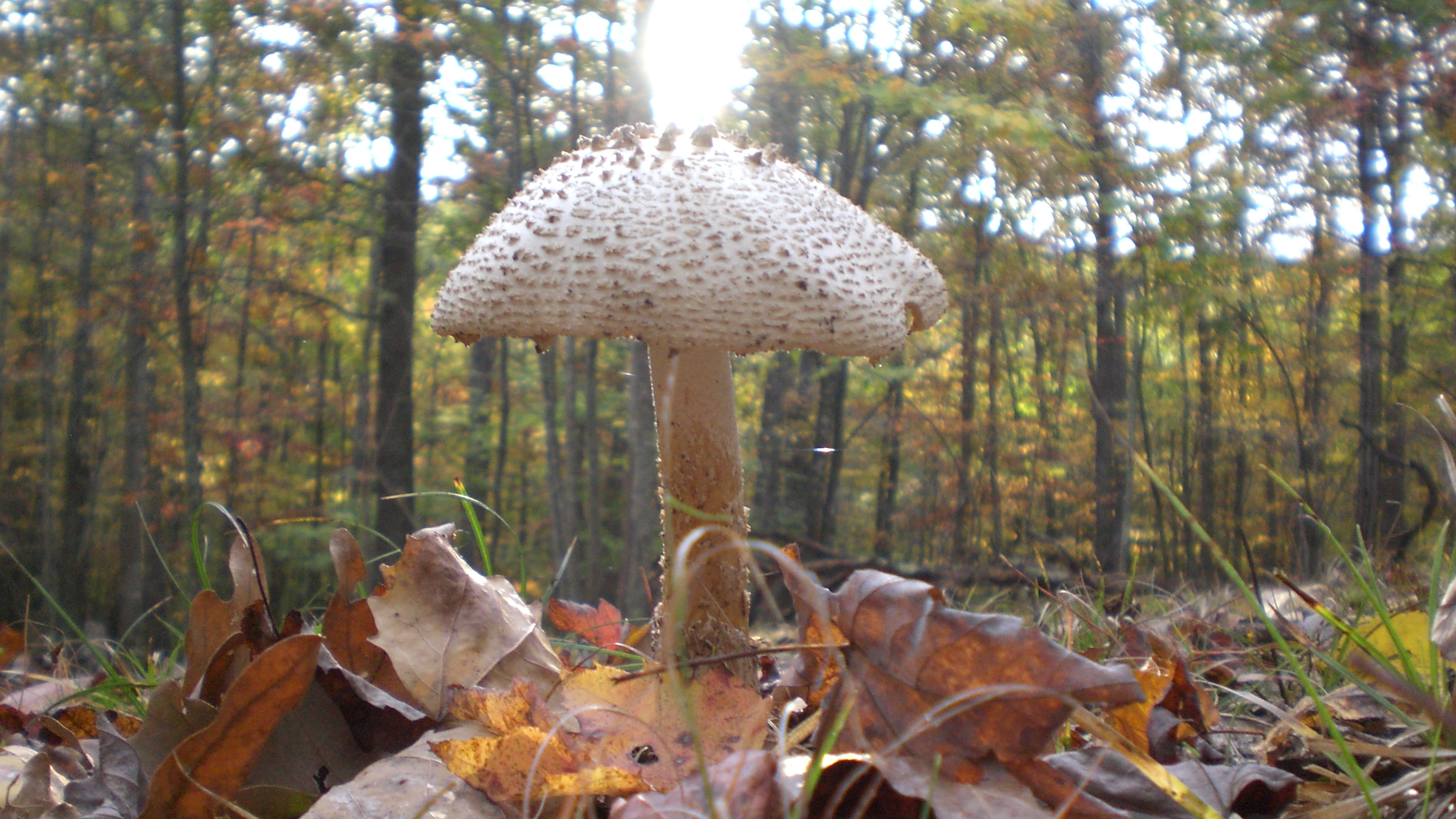
Sunset shroom

SUNSET, sun below the clouds

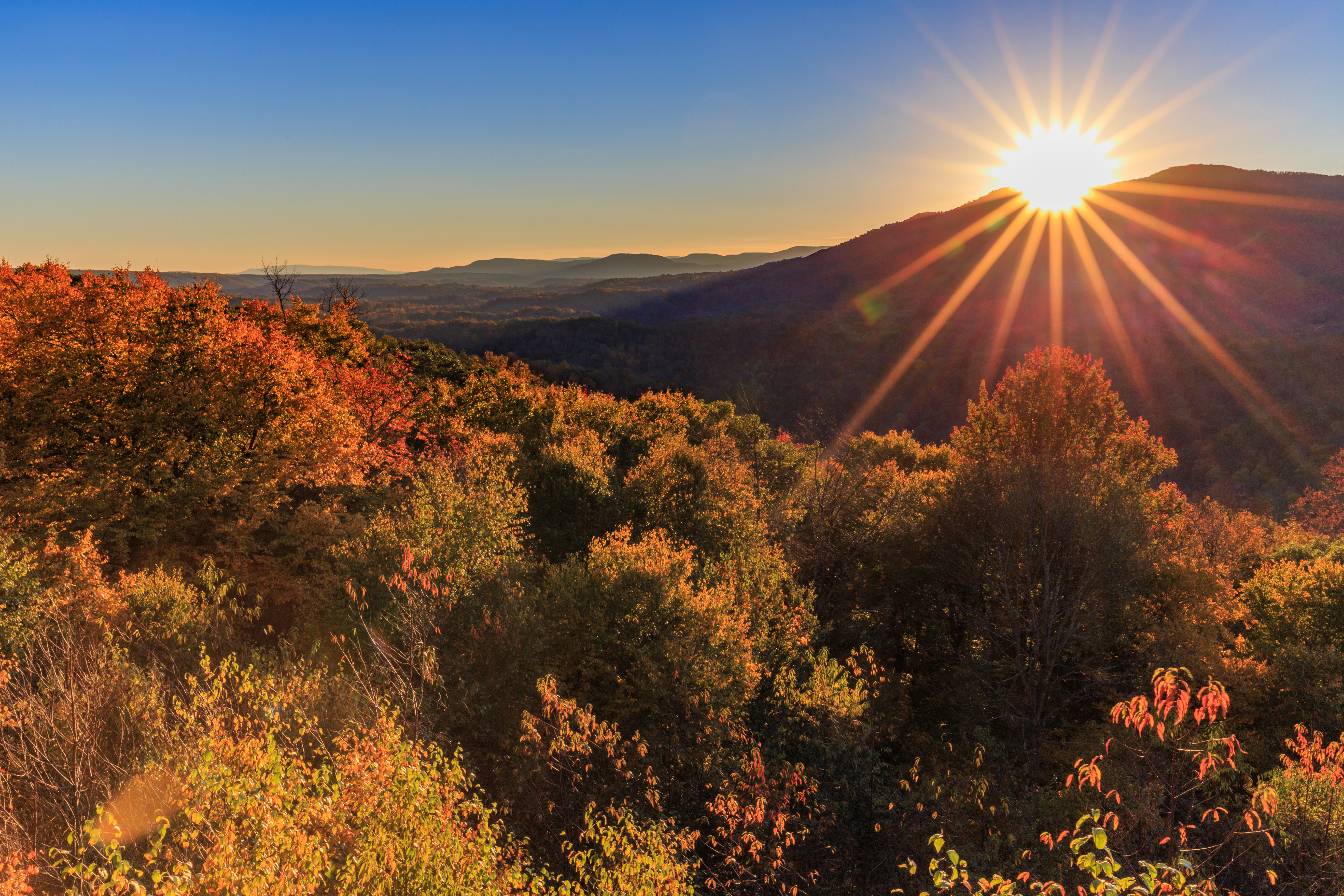
Snake Rock Sunrise

Falls of Hills Creek

Autumn colors reflecting in the pond

Falls of Hills Creek Middle Falls

The Lower Falls of Hill Creek
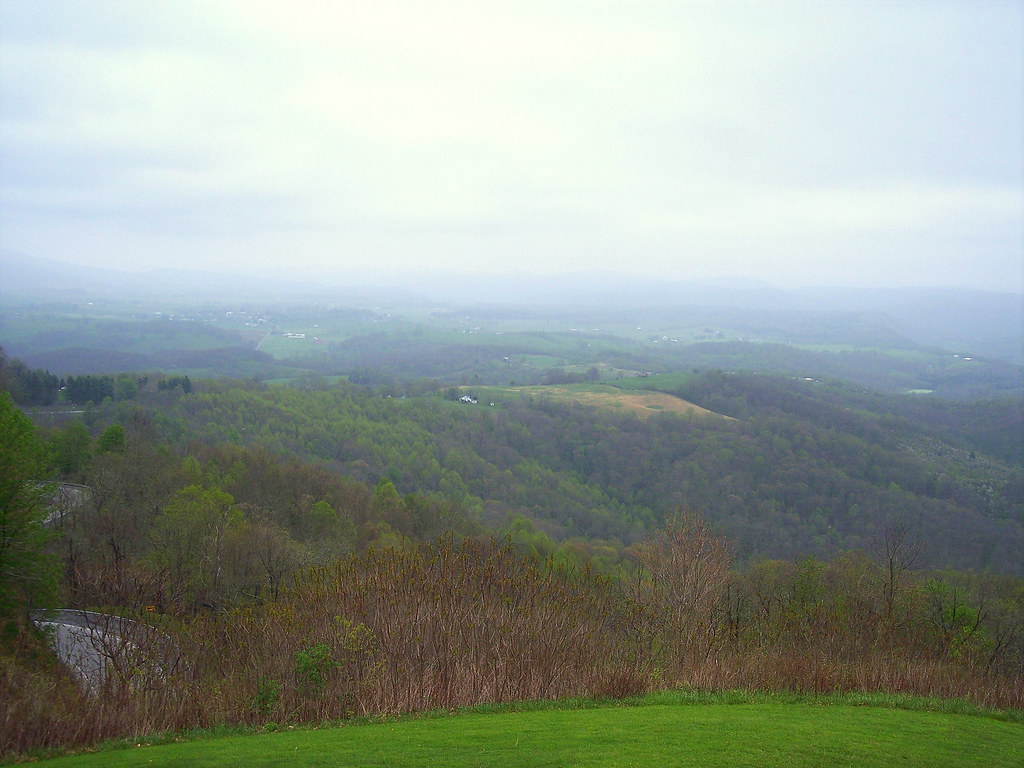
View from Droop Mtn watch tower

View from Droop Mtn Watch Tower

View from Droop Mtn watch tower

Falls of Hills Creek (Lower Falls) (Low View)
Mapa de Rock Camp Road, Rock Camp Rd, Renick, WV, EE. UU.
Buscar otro lugar
Lugares cercanos
Leonard Cordova Rd, Renick, WV, EE. UU.
Co Rte /1, Renick, WV, EE. UU.
Falling Spring, Virginia Occidental, EE. UU.
Sky Way, Eastern, WV, EE. UU.
Droop, WV, EE. UU.
Greenbrier River Trail, Renick, WV, EE. UU.
Droop Mountain, Little Levels, WV, EE. UU.
Sunlight, WV, EE. UU.
Slab Camp-Auto Road, Slab Camp-Auto Rd, Renick, WV, EE. UU.
Auto, WV, EE. UU.
Little Levels, WV, EE. UU.
Hillsboro, Virginia Occidental, EE. UU.
Droop, WV, EE. UU.
Condado de Greenbrier, Virginia Occidental, EE. UU.
Clearco Rd, Leivasy, WV, EE. UU.
East Main Street, E Main St, Richwood, WV, EE. UU.
Richwood, Virginia Occidental, EE. UU.
Western, WV, EE. UU.
Grassy Ck Rd, Fenwick, WV, EE. UU.
Fenwick, Virginia Occidental, EE. UU.
Búsquedas recientes
- Horas de salida y puesta de sol de Red Dog Mine, AK, USA
- Horas de salida y puesta de sol de Am Bahnhof, Am bhf, Borken, Germany
- Horas de salida y puesta de sol de 4th St E, Sonoma, CA, EE. UU.
- Horas de salida y puesta de sol de Oakland Ave, Williamsport, PA, EE. UU.
- Horas de salida y puesta de sol de Via Roma, Pieranica CR, Italia
- Horas de salida y puesta de sol de Torre del reloj, Grad, Dubrovnik (Ragusa), Croacia
- Horas de salida y puesta de sol de Trelew, Chubut, Argentina
- Horas de salida y puesta de sol de Hartfords Bluff Cir, Mt Pleasant, SC, EE. UU.
- Horas de salida y puesta de sol de Kita Ward, Kumamoto, Japón
- Horas de salida y puesta de sol de Pingtan Island, Pingtan County, Fuzhou, China