Horas de salida y puesta de sol de Red Bird Dr, Hayesville, NC, EE. UU.
Location: Estados Unidos > Carolina del Norte > Condado de Clay > Municipio de Shooting Creek >
Zona horaria:
America/New_York
Hora local:
2025-07-05 14:43:18
Longitud:
-83.619131
Latitud:
35.028902
Salida de sol de hoy:
06:26:53 AM
Puesta de sol de hoy:
08:51:53 PM
La duración del día hoy:
14h 25m 0s
Salida de sol de mañana:
06:27:25 AM
Puesta de sol de mañana:
08:51:39 PM
La duración del día mañana:
14h 24m 14s
Mostrar todas las fechas
| Fecha | Salida de sol | Puesta de sol | Duración del día |
|---|---|---|---|
| 01/01/2025 | 07:42:39 AM | 05:34:32 PM | 9h 51m 53s |
| 02/01/2025 | 07:42:47 AM | 05:35:20 PM | 9h 52m 33s |
| 03/01/2025 | 07:42:53 AM | 05:36:08 PM | 9h 53m 15s |
| 04/01/2025 | 07:42:57 AM | 05:36:58 PM | 9h 54m 1s |
| 05/01/2025 | 07:42:59 AM | 05:37:49 PM | 9h 54m 50s |
| 06/01/2025 | 07:42:59 AM | 05:38:40 PM | 9h 55m 41s |
| 07/01/2025 | 07:42:57 AM | 05:39:33 PM | 9h 56m 36s |
| 08/01/2025 | 07:42:53 AM | 05:40:26 PM | 9h 57m 33s |
| 09/01/2025 | 07:42:48 AM | 05:41:20 PM | 9h 58m 32s |
| 10/01/2025 | 07:42:40 AM | 05:42:15 PM | 9h 59m 35s |
| 11/01/2025 | 07:42:31 AM | 05:43:11 PM | 10h 0m 40s |
| 12/01/2025 | 07:42:19 AM | 05:44:07 PM | 10h 1m 48s |
| 13/01/2025 | 07:42:06 AM | 05:45:04 PM | 10h 2m 58s |
| 14/01/2025 | 07:41:51 AM | 05:46:02 PM | 10h 4m 11s |
| 15/01/2025 | 07:41:34 AM | 05:47:00 PM | 10h 5m 26s |
| 16/01/2025 | 07:41:15 AM | 05:47:59 PM | 10h 6m 44s |
| 17/01/2025 | 07:40:54 AM | 05:48:58 PM | 10h 8m 4s |
| 18/01/2025 | 07:40:32 AM | 05:49:57 PM | 10h 9m 25s |
| 19/01/2025 | 07:40:07 AM | 05:50:57 PM | 10h 10m 50s |
| 20/01/2025 | 07:39:41 AM | 05:51:57 PM | 10h 12m 16s |
| 21/01/2025 | 07:39:13 AM | 05:52:57 PM | 10h 13m 44s |
| 22/01/2025 | 07:38:43 AM | 05:53:58 PM | 10h 15m 15s |
| 23/01/2025 | 07:38:12 AM | 05:54:59 PM | 10h 16m 47s |
| 24/01/2025 | 07:37:38 AM | 05:56:00 PM | 10h 18m 22s |
| 25/01/2025 | 07:37:03 AM | 05:57:01 PM | 10h 19m 58s |
| 26/01/2025 | 07:36:26 AM | 05:58:02 PM | 10h 21m 36s |
| 27/01/2025 | 07:35:48 AM | 05:59:03 PM | 10h 23m 15s |
| 28/01/2025 | 07:35:08 AM | 06:00:04 PM | 10h 24m 56s |
| 29/01/2025 | 07:34:26 AM | 06:01:05 PM | 10h 26m 39s |
| 30/01/2025 | 07:33:43 AM | 06:02:07 PM | 10h 28m 24s |
| 31/01/2025 | 07:32:58 AM | 06:03:08 PM | 10h 30m 10s |
| 01/02/2025 | 07:32:12 AM | 06:04:09 PM | 10h 31m 57s |
| 02/02/2025 | 07:31:24 AM | 06:05:10 PM | 10h 33m 46s |
| 03/02/2025 | 07:30:34 AM | 06:06:10 PM | 10h 35m 36s |
| 04/02/2025 | 07:29:43 AM | 06:07:11 PM | 10h 37m 28s |
| 05/02/2025 | 07:28:51 AM | 06:08:12 PM | 10h 39m 21s |
| 06/02/2025 | 07:27:58 AM | 06:09:12 PM | 10h 41m 14s |
| 07/02/2025 | 07:27:02 AM | 06:10:12 PM | 10h 43m 10s |
| 08/02/2025 | 07:26:06 AM | 06:11:12 PM | 10h 45m 6s |
| 09/02/2025 | 07:25:08 AM | 06:12:11 PM | 10h 47m 3s |
| 10/02/2025 | 07:24:09 AM | 06:13:10 PM | 10h 49m 1s |
| 11/02/2025 | 07:23:09 AM | 06:14:09 PM | 10h 51m 0s |
| 12/02/2025 | 07:22:08 AM | 06:15:08 PM | 10h 53m 0s |
| 13/02/2025 | 07:21:05 AM | 06:16:06 PM | 10h 55m 1s |
| 14/02/2025 | 07:20:01 AM | 06:17:05 PM | 10h 57m 4s |
| 15/02/2025 | 07:18:57 AM | 06:18:02 PM | 10h 59m 5s |
| 16/02/2025 | 07:17:51 AM | 06:19:00 PM | 11h 1m 9s |
| 17/02/2025 | 07:16:44 AM | 06:19:57 PM | 11h 3m 13s |
| 18/02/2025 | 07:15:35 AM | 06:20:54 PM | 11h 5m 19s |
| 19/02/2025 | 07:14:26 AM | 06:21:50 PM | 11h 7m 24s |
| 20/02/2025 | 07:13:16 AM | 06:22:46 PM | 11h 9m 30s |
| 21/02/2025 | 07:12:05 AM | 06:23:42 PM | 11h 11m 37s |
| 22/02/2025 | 07:10:54 AM | 06:24:38 PM | 11h 13m 44s |
| 23/02/2025 | 07:09:41 AM | 06:25:33 PM | 11h 15m 52s |
| 24/02/2025 | 07:08:27 AM | 06:26:27 PM | 11h 18m 0s |
| 25/02/2025 | 07:07:13 AM | 06:27:22 PM | 11h 20m 9s |
| 26/02/2025 | 07:05:58 AM | 06:28:16 PM | 11h 22m 18s |
| 27/02/2025 | 07:04:42 AM | 06:29:10 PM | 11h 24m 28s |
| 28/02/2025 | 07:03:26 AM | 06:30:03 PM | 11h 26m 37s |
| 01/03/2025 | 07:02:08 AM | 06:30:56 PM | 11h 28m 48s |
| 02/03/2025 | 07:00:51 AM | 06:31:49 PM | 11h 30m 58s |
| 03/03/2025 | 06:59:32 AM | 06:32:42 PM | 11h 33m 10s |
| 04/03/2025 | 06:58:13 AM | 06:33:34 PM | 11h 35m 21s |
| 05/03/2025 | 06:56:53 AM | 06:34:26 PM | 11h 37m 33s |
| 06/03/2025 | 06:55:33 AM | 06:35:17 PM | 11h 39m 44s |
| 07/03/2025 | 06:54:13 AM | 06:36:09 PM | 11h 41m 56s |
| 08/03/2025 | 06:52:51 AM | 06:37:00 PM | 11h 44m 9s |
| 09/03/2025 | 07:51:33 AM | 07:37:48 PM | 11h 46m 15s |
| 10/03/2025 | 07:50:11 AM | 07:38:39 PM | 11h 48m 28s |
| 11/03/2025 | 07:48:49 AM | 07:39:29 PM | 11h 50m 40s |
| 12/03/2025 | 07:47:27 AM | 07:40:20 PM | 11h 52m 53s |
| 13/03/2025 | 07:46:04 AM | 07:41:09 PM | 11h 55m 5s |
| 14/03/2025 | 07:44:40 AM | 07:41:59 PM | 11h 57m 19s |
| 15/03/2025 | 07:43:17 AM | 07:42:49 PM | 11h 59m 32s |
| 16/03/2025 | 07:41:53 AM | 07:43:38 PM | 12h 1m 45s |
| 17/03/2025 | 07:40:29 AM | 07:44:27 PM | 12h 3m 58s |
| 18/03/2025 | 07:39:05 AM | 07:45:16 PM | 12h 6m 11s |
| 19/03/2025 | 07:37:41 AM | 07:46:05 PM | 12h 8m 24s |
| 20/03/2025 | 07:36:17 AM | 07:46:53 PM | 12h 10m 36s |
| 21/03/2025 | 07:34:53 AM | 07:47:42 PM | 12h 12m 49s |
| 22/03/2025 | 07:33:28 AM | 07:48:30 PM | 12h 15m 2s |
| 23/03/2025 | 07:32:04 AM | 07:49:19 PM | 12h 17m 15s |
| 24/03/2025 | 07:30:39 AM | 07:50:07 PM | 12h 19m 28s |
| 25/03/2025 | 07:29:15 AM | 07:50:55 PM | 12h 21m 40s |
| 26/03/2025 | 07:27:51 AM | 07:51:43 PM | 12h 23m 52s |
| 27/03/2025 | 07:26:27 AM | 07:52:31 PM | 12h 26m 4s |
| 28/03/2025 | 07:25:03 AM | 07:53:19 PM | 12h 28m 16s |
| 29/03/2025 | 07:23:39 AM | 07:54:07 PM | 12h 30m 28s |
| 30/03/2025 | 07:22:15 AM | 07:54:55 PM | 12h 32m 40s |
| 31/03/2025 | 07:20:52 AM | 07:55:42 PM | 12h 34m 50s |
| 01/04/2025 | 07:19:28 AM | 07:56:30 PM | 12h 37m 2s |
| 02/04/2025 | 07:18:05 AM | 07:57:18 PM | 12h 39m 13s |
| 03/04/2025 | 07:16:43 AM | 07:58:06 PM | 12h 41m 23s |
| 04/04/2025 | 07:15:21 AM | 07:58:54 PM | 12h 43m 33s |
| 05/04/2025 | 07:13:59 AM | 07:59:41 PM | 12h 45m 42s |
| 06/04/2025 | 07:12:37 AM | 08:00:29 PM | 12h 47m 52s |
| 07/04/2025 | 07:11:16 AM | 08:01:17 PM | 12h 50m 1s |
| 08/04/2025 | 07:09:55 AM | 08:02:05 PM | 12h 52m 10s |
| 09/04/2025 | 07:08:35 AM | 08:02:53 PM | 12h 54m 18s |
| 10/04/2025 | 07:07:16 AM | 08:03:41 PM | 12h 56m 25s |
| 11/04/2025 | 07:05:56 AM | 08:04:29 PM | 12h 58m 33s |
| 12/04/2025 | 07:04:38 AM | 08:05:17 PM | 13h 0m 39s |
| 13/04/2025 | 07:03:20 AM | 08:06:06 PM | 13h 2m 46s |
| 14/04/2025 | 07:02:03 AM | 08:06:54 PM | 13h 4m 51s |
| 15/04/2025 | 07:00:46 AM | 08:07:42 PM | 13h 6m 56s |
| 16/04/2025 | 06:59:30 AM | 08:08:30 PM | 13h 9m 0s |
| 17/04/2025 | 06:58:15 AM | 08:09:19 PM | 13h 11m 4s |
| 18/04/2025 | 06:57:00 AM | 08:10:07 PM | 13h 13m 7s |
| 19/04/2025 | 06:55:46 AM | 08:10:56 PM | 13h 15m 10s |
| 20/04/2025 | 06:54:33 AM | 08:11:45 PM | 13h 17m 12s |
| 21/04/2025 | 06:53:21 AM | 08:12:33 PM | 13h 19m 12s |
| 22/04/2025 | 06:52:10 AM | 08:13:22 PM | 13h 21m 12s |
| 23/04/2025 | 06:50:59 AM | 08:14:11 PM | 13h 23m 12s |
| 24/04/2025 | 06:49:50 AM | 08:15:00 PM | 13h 25m 10s |
| 25/04/2025 | 06:48:41 AM | 08:15:49 PM | 13h 27m 8s |
| 26/04/2025 | 06:47:34 AM | 08:16:37 PM | 13h 29m 3s |
| 27/04/2025 | 06:46:27 AM | 08:17:26 PM | 13h 30m 59s |
| 28/04/2025 | 06:45:22 AM | 08:18:15 PM | 13h 32m 53s |
| 29/04/2025 | 06:44:17 AM | 08:19:04 PM | 13h 34m 47s |
| 30/04/2025 | 06:43:14 AM | 08:19:53 PM | 13h 36m 39s |
| 01/05/2025 | 06:42:11 AM | 08:20:42 PM | 13h 38m 31s |
| 02/05/2025 | 06:41:10 AM | 08:21:31 PM | 13h 40m 21s |
| 03/05/2025 | 06:40:10 AM | 08:22:20 PM | 13h 42m 10s |
| 04/05/2025 | 06:39:11 AM | 08:23:08 PM | 13h 43m 57s |
| 05/05/2025 | 06:38:13 AM | 08:23:57 PM | 13h 45m 44s |
| 06/05/2025 | 06:37:17 AM | 08:24:46 PM | 13h 47m 29s |
| 07/05/2025 | 06:36:22 AM | 08:25:34 PM | 13h 49m 12s |
| 08/05/2025 | 06:35:28 AM | 08:26:22 PM | 13h 50m 54s |
| 09/05/2025 | 06:34:35 AM | 08:27:10 PM | 13h 52m 35s |
| 10/05/2025 | 06:33:44 AM | 08:27:58 PM | 13h 54m 14s |
| 11/05/2025 | 06:32:54 AM | 08:28:46 PM | 13h 55m 52s |
| 12/05/2025 | 06:32:06 AM | 08:29:34 PM | 13h 57m 28s |
| 13/05/2025 | 06:31:18 AM | 08:30:21 PM | 13h 59m 3s |
| 14/05/2025 | 06:30:33 AM | 08:31:08 PM | 14h 0m 35s |
| 15/05/2025 | 06:29:48 AM | 08:31:54 PM | 14h 2m 6s |
| 16/05/2025 | 06:29:06 AM | 08:32:41 PM | 14h 3m 35s |
| 17/05/2025 | 06:28:24 AM | 08:33:26 PM | 14h 5m 2s |
| 18/05/2025 | 06:27:44 AM | 08:34:12 PM | 14h 6m 28s |
| 19/05/2025 | 06:27:06 AM | 08:34:57 PM | 14h 7m 51s |
| 20/05/2025 | 06:26:29 AM | 08:35:42 PM | 14h 9m 13s |
| 21/05/2025 | 06:25:54 AM | 08:36:26 PM | 14h 10m 32s |
| 22/05/2025 | 06:25:20 AM | 08:37:09 PM | 14h 11m 49s |
| 23/05/2025 | 06:24:48 AM | 08:37:52 PM | 14h 13m 4s |
| 24/05/2025 | 06:24:18 AM | 08:38:35 PM | 14h 14m 17s |
| 25/05/2025 | 06:23:49 AM | 08:39:17 PM | 14h 15m 28s |
| 26/05/2025 | 06:23:22 AM | 08:39:58 PM | 14h 16m 36s |
| 27/05/2025 | 06:22:56 AM | 08:40:38 PM | 14h 17m 42s |
| 28/05/2025 | 06:22:32 AM | 08:41:18 PM | 14h 18m 46s |
| 29/05/2025 | 06:22:10 AM | 08:41:57 PM | 14h 19m 47s |
| 30/05/2025 | 06:21:49 AM | 08:42:35 PM | 14h 20m 46s |
| 31/05/2025 | 06:21:30 AM | 08:43:13 PM | 14h 21m 43s |
| 01/06/2025 | 06:21:12 AM | 08:43:49 PM | 14h 22m 37s |
| 02/06/2025 | 06:20:57 AM | 08:44:25 PM | 14h 23m 28s |
| 03/06/2025 | 06:20:43 AM | 08:44:59 PM | 14h 24m 16s |
| 04/06/2025 | 06:20:30 AM | 08:45:33 PM | 14h 25m 3s |
| 05/06/2025 | 06:20:19 AM | 08:46:06 PM | 14h 25m 47s |
| 06/06/2025 | 06:20:10 AM | 08:46:37 PM | 14h 26m 27s |
| 07/06/2025 | 06:20:03 AM | 08:47:08 PM | 14h 27m 5s |
| 08/06/2025 | 06:19:57 AM | 08:47:37 PM | 14h 27m 40s |
| 09/06/2025 | 06:19:52 AM | 08:48:05 PM | 14h 28m 13s |
| 10/06/2025 | 06:19:50 AM | 08:48:32 PM | 14h 28m 42s |
| 11/06/2025 | 06:19:49 AM | 08:48:58 PM | 14h 29m 9s |
| 12/06/2025 | 06:19:49 AM | 08:49:22 PM | 14h 29m 33s |
| 13/06/2025 | 06:19:51 AM | 08:49:46 PM | 14h 29m 55s |
| 14/06/2025 | 06:19:55 AM | 08:50:07 PM | 14h 30m 12s |
| 15/06/2025 | 06:20:01 AM | 08:50:28 PM | 14h 30m 27s |
| 16/06/2025 | 06:20:07 AM | 08:50:47 PM | 14h 30m 40s |
| 17/06/2025 | 06:20:16 AM | 08:51:05 PM | 14h 30m 49s |
| 18/06/2025 | 06:20:26 AM | 08:51:21 PM | 14h 30m 55s |
| 19/06/2025 | 06:20:37 AM | 08:51:36 PM | 14h 30m 59s |
| 20/06/2025 | 06:20:50 AM | 08:51:49 PM | 14h 30m 59s |
| 21/06/2025 | 06:21:04 AM | 08:52:01 PM | 14h 30m 57s |
| 22/06/2025 | 06:21:19 AM | 08:52:12 PM | 14h 30m 53s |
| 23/06/2025 | 06:21:36 AM | 08:52:20 PM | 14h 30m 44s |
| 24/06/2025 | 06:21:55 AM | 08:52:28 PM | 14h 30m 33s |
| 25/06/2025 | 06:22:14 AM | 08:52:33 PM | 14h 30m 19s |
| 26/06/2025 | 06:22:35 AM | 08:52:37 PM | 14h 30m 2s |
| 27/06/2025 | 06:22:58 AM | 08:52:40 PM | 14h 29m 42s |
| 28/06/2025 | 06:23:21 AM | 08:52:40 PM | 14h 29m 19s |
| 29/06/2025 | 06:23:46 AM | 08:52:39 PM | 14h 28m 53s |
| 30/06/2025 | 06:24:12 AM | 08:52:37 PM | 14h 28m 25s |
| 01/07/2025 | 06:24:38 AM | 08:52:33 PM | 14h 27m 55s |
| 02/07/2025 | 06:25:07 AM | 08:52:27 PM | 14h 27m 20s |
| 03/07/2025 | 06:25:36 AM | 08:52:19 PM | 14h 26m 43s |
| 04/07/2025 | 06:26:06 AM | 08:52:10 PM | 14h 26m 4s |
| 05/07/2025 | 06:26:37 AM | 08:51:59 PM | 14h 25m 22s |
| 06/07/2025 | 06:27:09 AM | 08:51:46 PM | 14h 24m 37s |
| 07/07/2025 | 06:27:42 AM | 08:51:32 PM | 14h 23m 50s |
| 08/07/2025 | 06:28:16 AM | 08:51:16 PM | 14h 23m 0s |
| 09/07/2025 | 06:28:51 AM | 08:50:58 PM | 14h 22m 7s |
| 10/07/2025 | 06:29:26 AM | 08:50:39 PM | 14h 21m 13s |
| 11/07/2025 | 06:30:03 AM | 08:50:17 PM | 14h 20m 14s |
| 12/07/2025 | 06:30:40 AM | 08:49:55 PM | 14h 19m 15s |
| 13/07/2025 | 06:31:18 AM | 08:49:30 PM | 14h 18m 12s |
| 14/07/2025 | 06:31:56 AM | 08:49:04 PM | 14h 17m 8s |
| 15/07/2025 | 06:32:35 AM | 08:48:36 PM | 14h 16m 1s |
| 16/07/2025 | 06:33:15 AM | 08:48:07 PM | 14h 14m 52s |
| 17/07/2025 | 06:33:55 AM | 08:47:36 PM | 14h 13m 41s |
| 18/07/2025 | 06:34:36 AM | 08:47:03 PM | 14h 12m 27s |
| 19/07/2025 | 06:35:17 AM | 08:46:29 PM | 14h 11m 12s |
| 20/07/2025 | 06:35:59 AM | 08:45:53 PM | 14h 9m 54s |
| 21/07/2025 | 06:36:41 AM | 08:45:15 PM | 14h 8m 34s |
| 22/07/2025 | 06:37:24 AM | 08:44:36 PM | 14h 7m 12s |
| 23/07/2025 | 06:38:07 AM | 08:43:55 PM | 14h 5m 48s |
| 24/07/2025 | 06:38:50 AM | 08:43:13 PM | 14h 4m 23s |
| 25/07/2025 | 06:39:34 AM | 08:42:30 PM | 14h 2m 56s |
| 26/07/2025 | 06:40:18 AM | 08:41:45 PM | 14h 1m 27s |
| 27/07/2025 | 06:41:02 AM | 08:40:58 PM | 13h 59m 56s |
| 28/07/2025 | 06:41:47 AM | 08:40:10 PM | 13h 58m 23s |
| 29/07/2025 | 06:42:31 AM | 08:39:20 PM | 13h 56m 49s |
| 30/07/2025 | 06:43:16 AM | 08:38:30 PM | 13h 55m 14s |
| 31/07/2025 | 06:44:01 AM | 08:37:37 PM | 13h 53m 36s |
| 01/08/2025 | 06:44:46 AM | 08:36:44 PM | 13h 51m 58s |
| 02/08/2025 | 06:45:32 AM | 08:35:49 PM | 13h 50m 17s |
| 03/08/2025 | 06:46:17 AM | 08:34:52 PM | 13h 48m 35s |
| 04/08/2025 | 06:47:02 AM | 08:33:55 PM | 13h 46m 53s |
| 05/08/2025 | 06:47:48 AM | 08:32:56 PM | 13h 45m 8s |
| 06/08/2025 | 06:48:34 AM | 08:31:56 PM | 13h 43m 22s |
| 07/08/2025 | 06:49:19 AM | 08:30:55 PM | 13h 41m 36s |
| 08/08/2025 | 06:50:05 AM | 08:29:52 PM | 13h 39m 47s |
| 09/08/2025 | 06:50:50 AM | 08:28:49 PM | 13h 37m 59s |
| 10/08/2025 | 06:51:36 AM | 08:27:44 PM | 13h 36m 8s |
| 11/08/2025 | 06:52:21 AM | 08:26:38 PM | 13h 34m 17s |
| 12/08/2025 | 06:53:07 AM | 08:25:32 PM | 13h 32m 25s |
| 13/08/2025 | 06:53:52 AM | 08:24:24 PM | 13h 30m 32s |
| 14/08/2025 | 06:54:38 AM | 08:23:15 PM | 13h 28m 37s |
| 15/08/2025 | 06:55:23 AM | 08:22:05 PM | 13h 26m 42s |
| 16/08/2025 | 06:56:08 AM | 08:20:54 PM | 13h 24m 46s |
| 17/08/2025 | 06:56:54 AM | 08:19:42 PM | 13h 22m 48s |
| 18/08/2025 | 06:57:39 AM | 08:18:29 PM | 13h 20m 50s |
| 19/08/2025 | 06:58:24 AM | 08:17:16 PM | 13h 18m 52s |
| 20/08/2025 | 06:59:09 AM | 08:16:01 PM | 13h 16m 52s |
| 21/08/2025 | 06:59:54 AM | 08:14:46 PM | 13h 14m 52s |
| 22/08/2025 | 07:00:38 AM | 08:13:30 PM | 13h 12m 52s |
| 23/08/2025 | 07:01:23 AM | 08:12:13 PM | 13h 10m 50s |
| 24/08/2025 | 07:02:08 AM | 08:10:56 PM | 13h 8m 48s |
| 25/08/2025 | 07:02:52 AM | 08:09:37 PM | 13h 6m 45s |
| 26/08/2025 | 07:03:36 AM | 08:08:18 PM | 13h 4m 42s |
| 27/08/2025 | 07:04:21 AM | 08:06:59 PM | 13h 2m 38s |
| 28/08/2025 | 07:05:05 AM | 08:05:39 PM | 13h 0m 34s |
| 29/08/2025 | 07:05:49 AM | 08:04:18 PM | 12h 58m 29s |
| 30/08/2025 | 07:06:33 AM | 08:02:56 PM | 12h 56m 23s |
| 31/08/2025 | 07:07:17 AM | 08:01:34 PM | 12h 54m 17s |
| 01/09/2025 | 07:08:01 AM | 08:00:12 PM | 12h 52m 11s |
| 02/09/2025 | 07:08:44 AM | 07:58:49 PM | 12h 50m 5s |
| 03/09/2025 | 07:09:28 AM | 07:57:26 PM | 12h 47m 58s |
| 04/09/2025 | 07:10:12 AM | 07:56:02 PM | 12h 45m 50s |
| 05/09/2025 | 07:10:55 AM | 07:54:38 PM | 12h 43m 43s |
| 06/09/2025 | 07:11:39 AM | 07:53:13 PM | 12h 41m 34s |
| 07/09/2025 | 07:12:23 AM | 07:51:48 PM | 12h 39m 25s |
| 08/09/2025 | 07:13:06 AM | 07:50:23 PM | 12h 37m 17s |
| 09/09/2025 | 07:13:50 AM | 07:48:58 PM | 12h 35m 8s |
| 10/09/2025 | 07:14:33 AM | 07:47:32 PM | 12h 32m 59s |
| 11/09/2025 | 07:15:17 AM | 07:46:06 PM | 12h 30m 49s |
| 12/09/2025 | 07:16:00 AM | 07:44:40 PM | 12h 28m 40s |
| 13/09/2025 | 07:16:44 AM | 07:43:13 PM | 12h 26m 29s |
| 14/09/2025 | 07:17:28 AM | 07:41:47 PM | 12h 24m 19s |
| 15/09/2025 | 07:18:11 AM | 07:40:20 PM | 12h 22m 9s |
| 16/09/2025 | 07:18:55 AM | 07:38:54 PM | 12h 19m 59s |
| 17/09/2025 | 07:19:39 AM | 07:37:27 PM | 12h 17m 48s |
| 18/09/2025 | 07:20:23 AM | 07:36:00 PM | 12h 15m 37s |
| 19/09/2025 | 07:21:07 AM | 07:34:34 PM | 12h 13m 27s |
| 20/09/2025 | 07:21:51 AM | 07:33:07 PM | 12h 11m 16s |
| 21/09/2025 | 07:22:35 AM | 07:31:40 PM | 12h 9m 5s |
| 22/09/2025 | 07:23:19 AM | 07:30:14 PM | 12h 6m 55s |
| 23/09/2025 | 07:24:04 AM | 07:28:47 PM | 12h 4m 43s |
| 24/09/2025 | 07:24:49 AM | 07:27:21 PM | 12h 2m 32s |
| 25/09/2025 | 07:25:34 AM | 07:25:55 PM | 12h 0m 21s |
| 26/09/2025 | 07:26:19 AM | 07:24:29 PM | 11h 58m 10s |
| 27/09/2025 | 07:27:04 AM | 07:23:03 PM | 11h 55m 59s |
| 28/09/2025 | 07:27:49 AM | 07:21:38 PM | 11h 53m 49s |
| 29/09/2025 | 07:28:35 AM | 07:20:13 PM | 11h 51m 38s |
| 30/09/2025 | 07:29:21 AM | 07:18:48 PM | 11h 49m 27s |
| 01/10/2025 | 07:30:07 AM | 07:17:24 PM | 11h 47m 17s |
| 02/10/2025 | 07:30:53 AM | 07:16:00 PM | 11h 45m 7s |
| 03/10/2025 | 07:31:40 AM | 07:14:36 PM | 11h 42m 56s |
| 04/10/2025 | 07:32:27 AM | 07:13:13 PM | 11h 40m 46s |
| 05/10/2025 | 07:33:14 AM | 07:11:50 PM | 11h 38m 36s |
| 06/10/2025 | 07:34:02 AM | 07:10:28 PM | 11h 36m 26s |
| 07/10/2025 | 07:34:49 AM | 07:09:06 PM | 11h 34m 17s |
| 08/10/2025 | 07:35:37 AM | 07:07:45 PM | 11h 32m 8s |
| 09/10/2025 | 07:36:26 AM | 07:06:25 PM | 11h 29m 59s |
| 10/10/2025 | 07:37:15 AM | 07:05:05 PM | 11h 27m 50s |
| 11/10/2025 | 07:38:04 AM | 07:03:46 PM | 11h 25m 42s |
| 12/10/2025 | 07:38:53 AM | 07:02:27 PM | 11h 23m 34s |
| 13/10/2025 | 07:39:43 AM | 07:01:09 PM | 11h 21m 26s |
| 14/10/2025 | 07:40:33 AM | 06:59:52 PM | 11h 19m 19s |
| 15/10/2025 | 07:41:23 AM | 06:58:36 PM | 11h 17m 13s |
| 16/10/2025 | 07:42:14 AM | 06:57:20 PM | 11h 15m 6s |
| 17/10/2025 | 07:43:05 AM | 06:56:06 PM | 11h 13m 1s |
| 18/10/2025 | 07:43:57 AM | 06:54:52 PM | 11h 10m 55s |
| 19/10/2025 | 07:44:49 AM | 06:53:39 PM | 11h 8m 50s |
| 20/10/2025 | 07:45:41 AM | 06:52:27 PM | 11h 6m 46s |
| 21/10/2025 | 07:46:34 AM | 06:51:16 PM | 11h 4m 42s |
| 22/10/2025 | 07:47:27 AM | 06:50:06 PM | 11h 2m 39s |
| 23/10/2025 | 07:48:20 AM | 06:48:57 PM | 11h 0m 37s |
| 24/10/2025 | 07:49:14 AM | 06:47:49 PM | 10h 58m 35s |
| 25/10/2025 | 07:50:08 AM | 06:46:42 PM | 10h 56m 34s |
| 26/10/2025 | 07:51:02 AM | 06:45:36 PM | 10h 54m 34s |
| 27/10/2025 | 07:51:57 AM | 06:44:32 PM | 10h 52m 35s |
| 28/10/2025 | 07:52:52 AM | 06:43:29 PM | 10h 50m 37s |
| 29/10/2025 | 07:53:48 AM | 06:42:26 PM | 10h 48m 38s |
| 30/10/2025 | 07:54:43 AM | 06:41:26 PM | 10h 46m 43s |
| 31/10/2025 | 07:55:39 AM | 06:40:26 PM | 10h 44m 47s |
| 01/11/2025 | 07:56:36 AM | 06:39:28 PM | 10h 42m 52s |
| 02/11/2025 | 06:57:35 AM | 05:38:28 PM | 10h 40m 53s |
| 03/11/2025 | 06:58:32 AM | 05:37:33 PM | 10h 39m 1s |
| 04/11/2025 | 06:59:29 AM | 05:36:39 PM | 10h 37m 10s |
| 05/11/2025 | 07:00:26 AM | 05:35:46 PM | 10h 35m 20s |
| 06/11/2025 | 07:01:24 AM | 05:34:55 PM | 10h 33m 31s |
| 07/11/2025 | 07:02:22 AM | 05:34:05 PM | 10h 31m 43s |
| 08/11/2025 | 07:03:19 AM | 05:33:17 PM | 10h 29m 58s |
| 09/11/2025 | 07:04:18 AM | 05:32:30 PM | 10h 28m 12s |
| 10/11/2025 | 07:05:16 AM | 05:31:45 PM | 10h 26m 29s |
| 11/11/2025 | 07:06:14 AM | 05:31:02 PM | 10h 24m 48s |
| 12/11/2025 | 07:07:12 AM | 05:30:20 PM | 10h 23m 8s |
| 13/11/2025 | 07:08:11 AM | 05:29:40 PM | 10h 21m 29s |
| 14/11/2025 | 07:09:09 AM | 05:29:01 PM | 10h 19m 52s |
| 15/11/2025 | 07:10:08 AM | 05:28:24 PM | 10h 18m 16s |
| 16/11/2025 | 07:11:06 AM | 05:27:49 PM | 10h 16m 43s |
| 17/11/2025 | 07:12:04 AM | 05:27:16 PM | 10h 15m 12s |
| 18/11/2025 | 07:13:02 AM | 05:26:45 PM | 10h 13m 43s |
| 19/11/2025 | 07:14:00 AM | 05:26:15 PM | 10h 12m 15s |
| 20/11/2025 | 07:14:58 AM | 05:25:47 PM | 10h 10m 49s |
| 21/11/2025 | 07:15:55 AM | 05:25:21 PM | 10h 9m 26s |
| 22/11/2025 | 07:16:53 AM | 05:24:57 PM | 10h 8m 4s |
| 23/11/2025 | 07:17:50 AM | 05:24:34 PM | 10h 6m 44s |
| 24/11/2025 | 07:18:46 AM | 05:24:14 PM | 10h 5m 28s |
| 25/11/2025 | 07:19:42 AM | 05:23:55 PM | 10h 4m 13s |
| 26/11/2025 | 07:20:38 AM | 05:23:39 PM | 10h 3m 1s |
| 27/11/2025 | 07:21:33 AM | 05:23:24 PM | 10h 1m 51s |
| 28/11/2025 | 07:22:28 AM | 05:23:11 PM | 10h 0m 43s |
| 29/11/2025 | 07:23:22 AM | 05:23:00 PM | 9h 59m 38s |
| 30/11/2025 | 07:24:15 AM | 05:22:52 PM | 9h 58m 37s |
| 01/12/2025 | 07:25:08 AM | 05:22:45 PM | 9h 57m 37s |
| 02/12/2025 | 07:26:00 AM | 05:22:40 PM | 9h 56m 40s |
| 03/12/2025 | 07:26:51 AM | 05:22:37 PM | 9h 55m 46s |
| 04/12/2025 | 07:27:42 AM | 05:22:36 PM | 9h 54m 54s |
| 05/12/2025 | 07:28:31 AM | 05:22:37 PM | 9h 54m 6s |
| 06/12/2025 | 07:29:20 AM | 05:22:39 PM | 9h 53m 19s |
| 07/12/2025 | 07:30:07 AM | 05:22:44 PM | 9h 52m 37s |
| 08/12/2025 | 07:30:54 AM | 05:22:51 PM | 9h 51m 57s |
| 09/12/2025 | 07:31:40 AM | 05:23:00 PM | 9h 51m 20s |
| 10/12/2025 | 07:32:24 AM | 05:23:10 PM | 9h 50m 46s |
| 11/12/2025 | 07:33:07 AM | 05:23:23 PM | 9h 50m 16s |
| 12/12/2025 | 07:33:49 AM | 05:23:37 PM | 9h 49m 48s |
| 13/12/2025 | 07:34:30 AM | 05:23:53 PM | 9h 49m 23s |
| 14/12/2025 | 07:35:10 AM | 05:24:12 PM | 9h 49m 2s |
| 15/12/2025 | 07:35:48 AM | 05:24:32 PM | 9h 48m 44s |
| 16/12/2025 | 07:36:25 AM | 05:24:53 PM | 9h 48m 28s |
| 17/12/2025 | 07:37:00 AM | 05:25:17 PM | 9h 48m 17s |
| 18/12/2025 | 07:37:34 AM | 05:25:42 PM | 9h 48m 8s |
| 19/12/2025 | 07:38:07 AM | 05:26:09 PM | 9h 48m 2s |
| 20/12/2025 | 07:38:38 AM | 05:26:38 PM | 9h 48m 0s |
| 21/12/2025 | 07:39:07 AM | 05:27:08 PM | 9h 48m 1s |
| 22/12/2025 | 07:39:35 AM | 05:27:40 PM | 9h 48m 5s |
| 23/12/2025 | 07:40:01 AM | 05:28:14 PM | 9h 48m 13s |
| 24/12/2025 | 07:40:25 AM | 05:28:49 PM | 9h 48m 24s |
| 25/12/2025 | 07:40:48 AM | 05:29:25 PM | 9h 48m 37s |
| 26/12/2025 | 07:41:09 AM | 05:30:04 PM | 9h 48m 55s |
| 27/12/2025 | 07:41:28 AM | 05:30:43 PM | 9h 49m 15s |
| 28/12/2025 | 07:41:45 AM | 05:31:24 PM | 9h 49m 39s |
| 29/12/2025 | 07:42:01 AM | 05:32:06 PM | 9h 50m 5s |
| 30/12/2025 | 07:42:15 AM | 05:32:50 PM | 9h 50m 35s |
| 31/12/2025 | 07:42:27 AM | 05:33:35 PM | 9h 51m 8s |
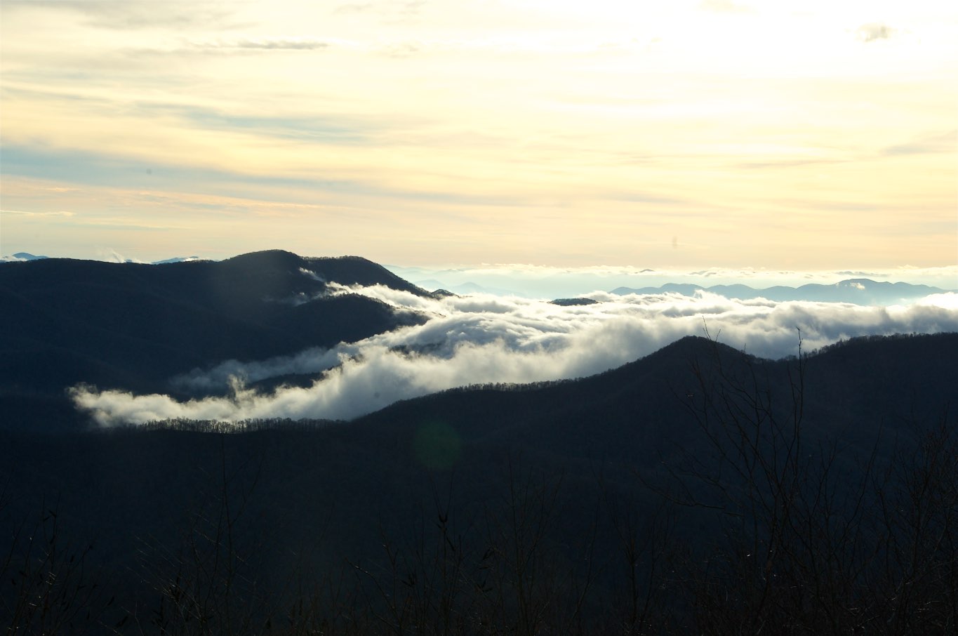
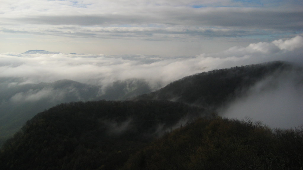
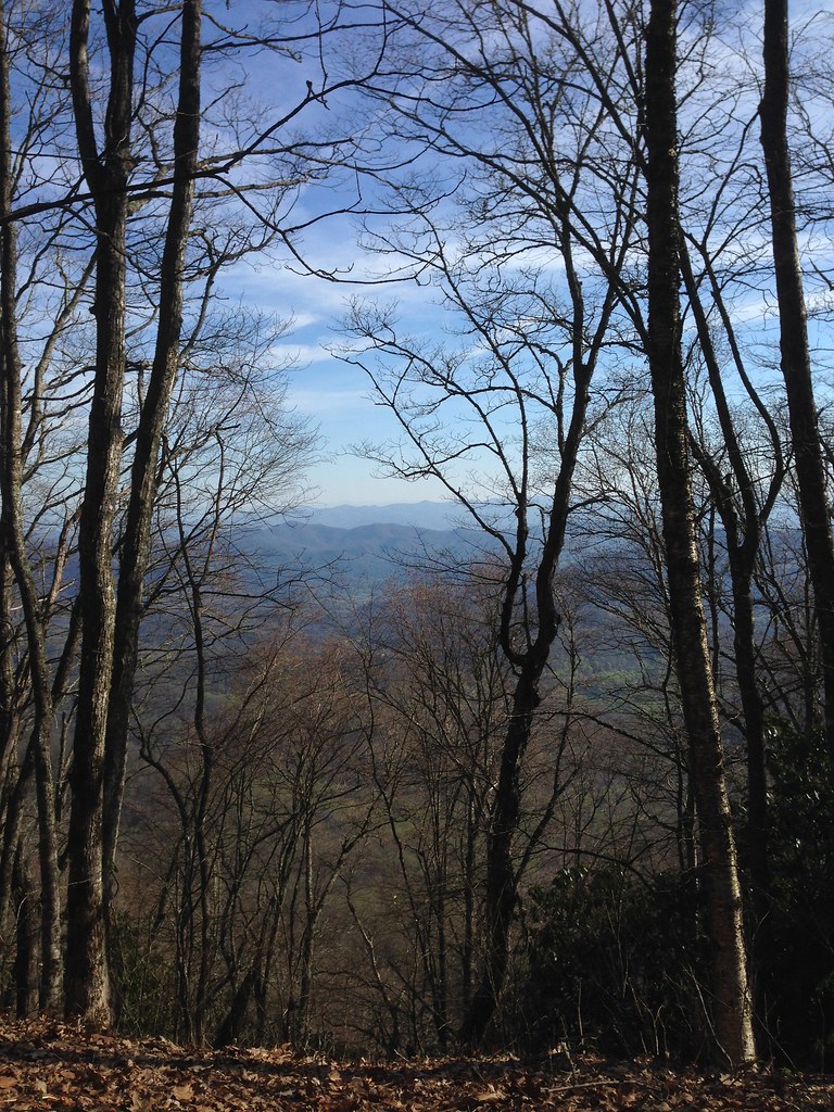
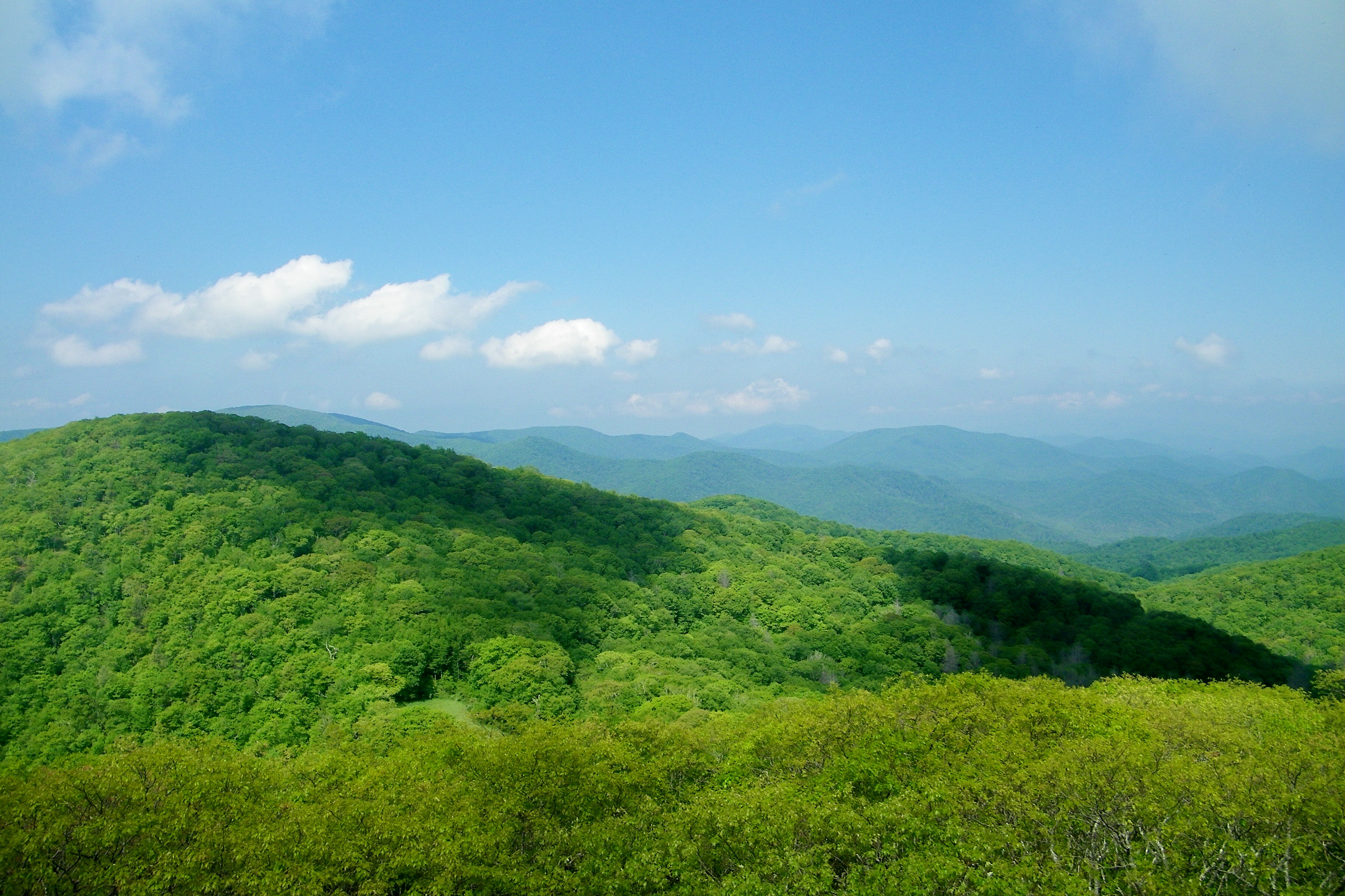
Fotos

Sunrise Shooting Creek_IMG_20150509_2723
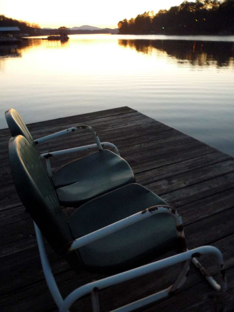
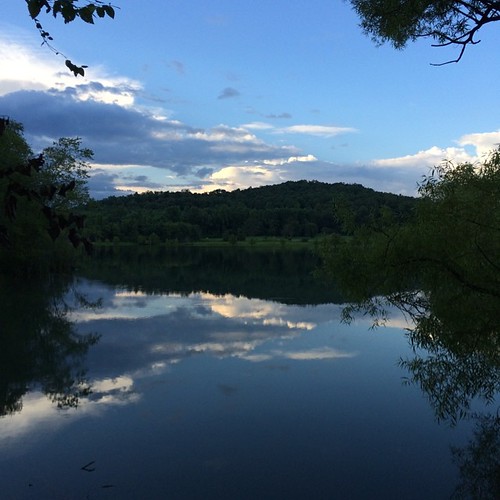
Dock at Sunset

Lizzy at Lake Chatuge

Sunset at the Hinton Center looking out on Chatuge Lake, NC

Sneakin' Creek Music Fest -20160909-13

Shooting Creek Sunrise_IMG_20150509_2727

Shooting Creek_IMG_20150509_2722

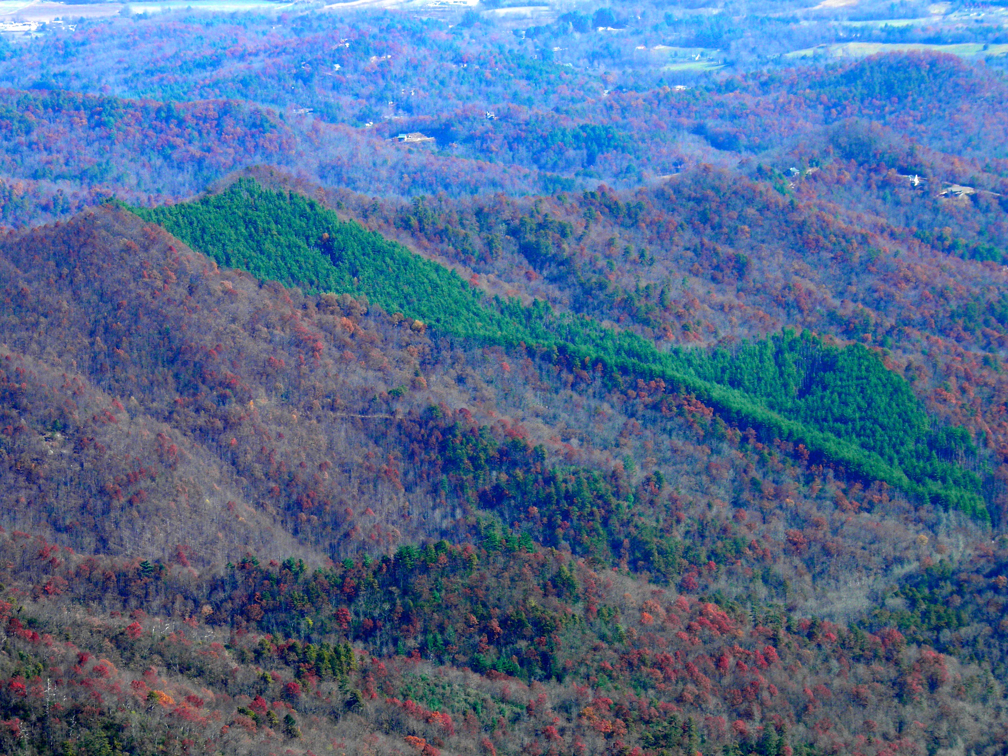
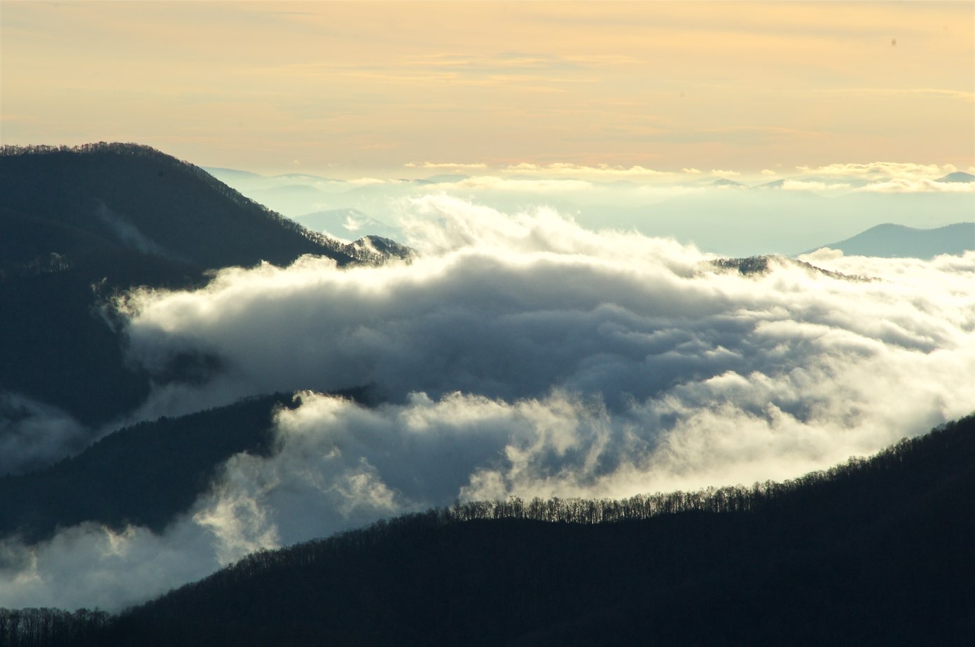
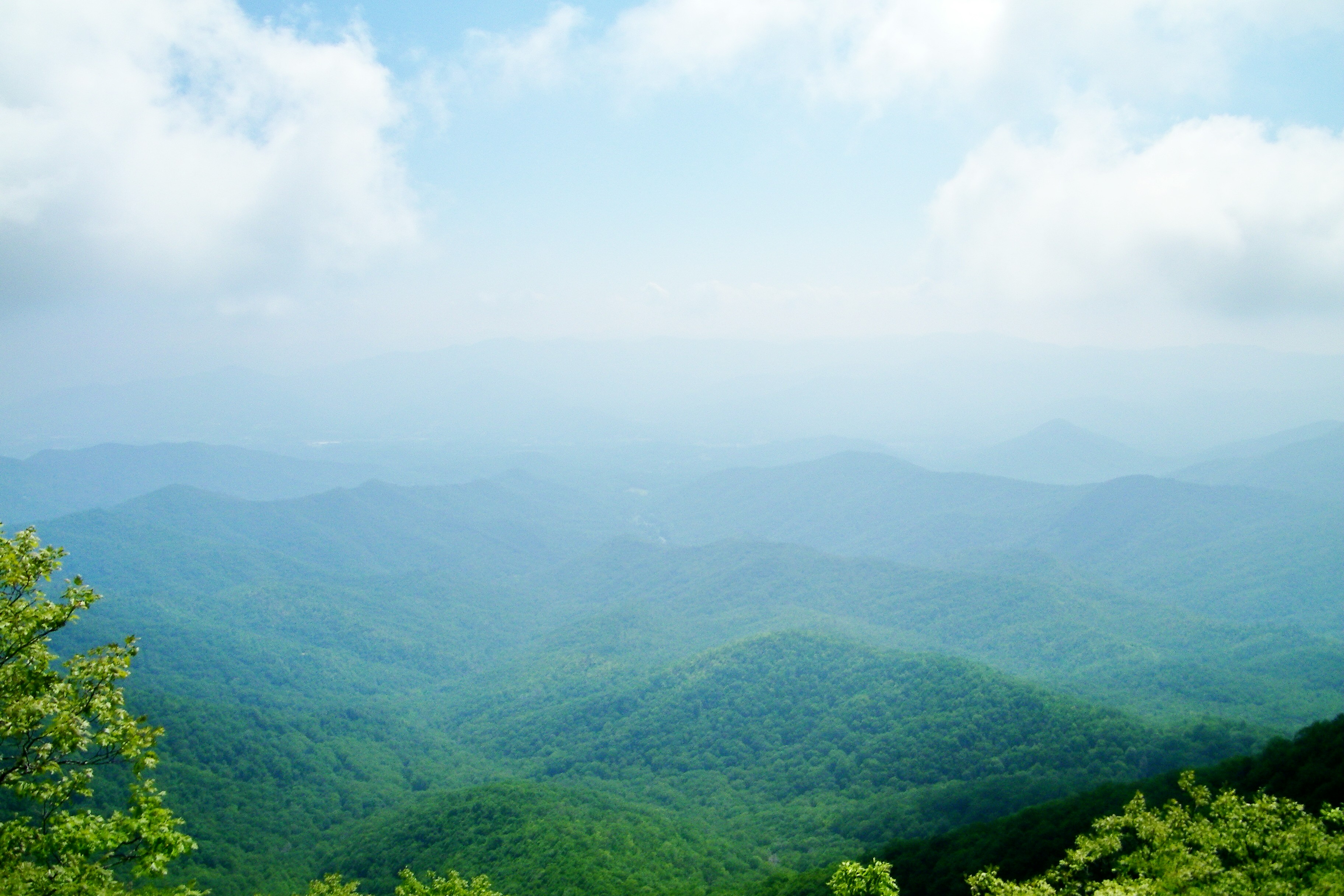
Smoky Mountains on Fire (III)

Smoky Mountains on Fire (II)
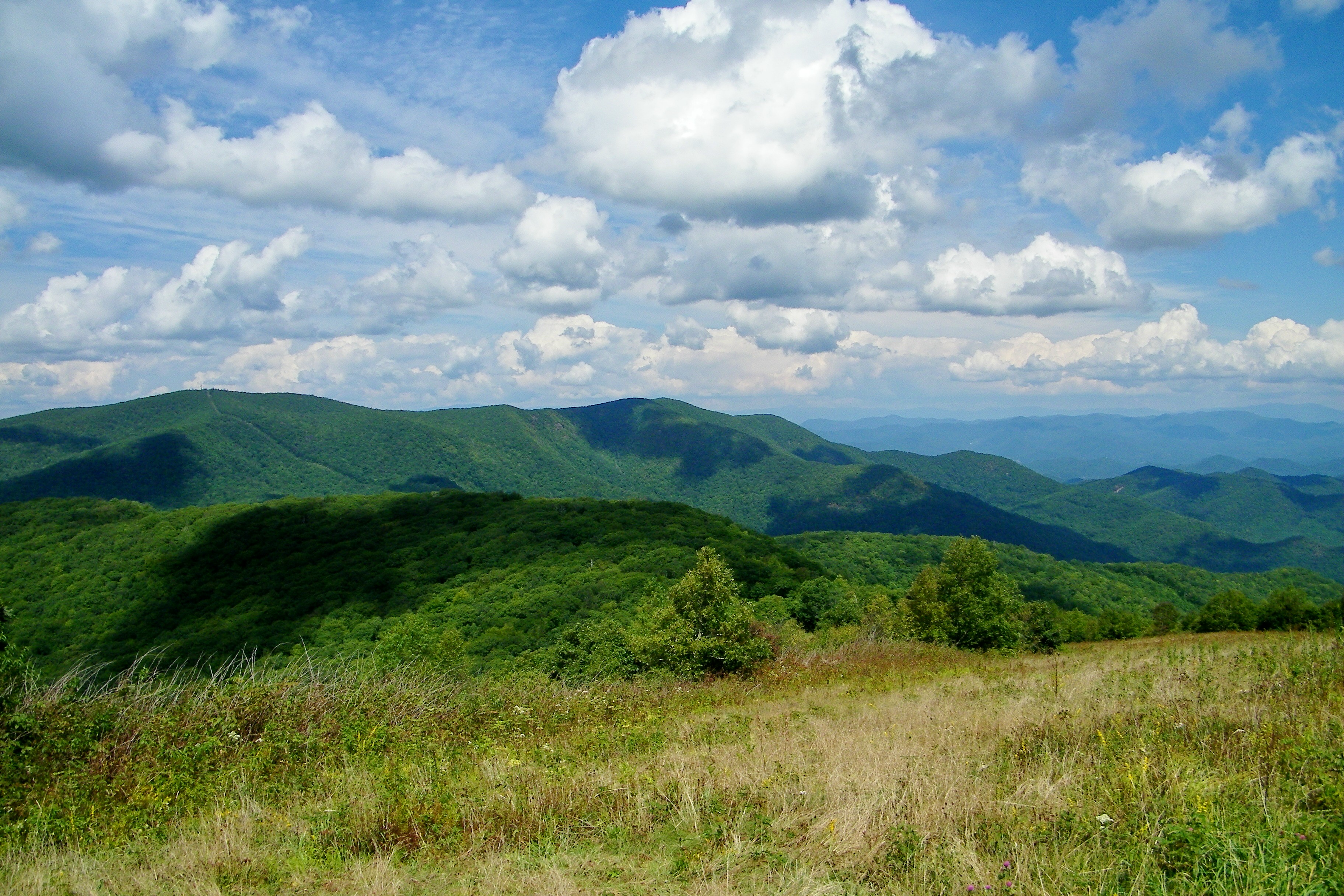
Standing Indian22
Standing Indian24

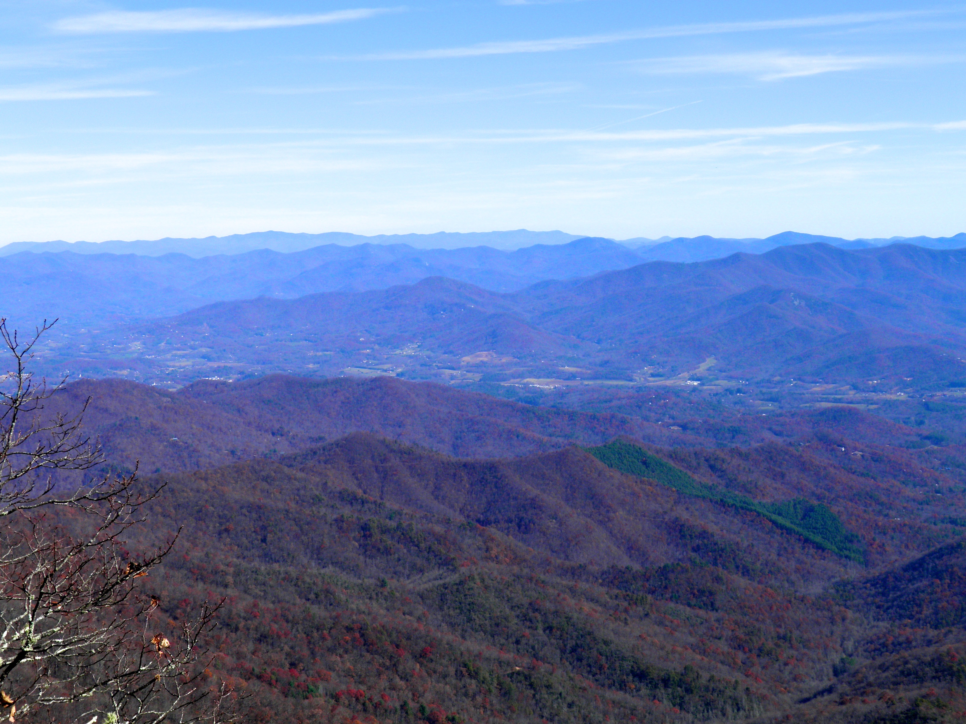
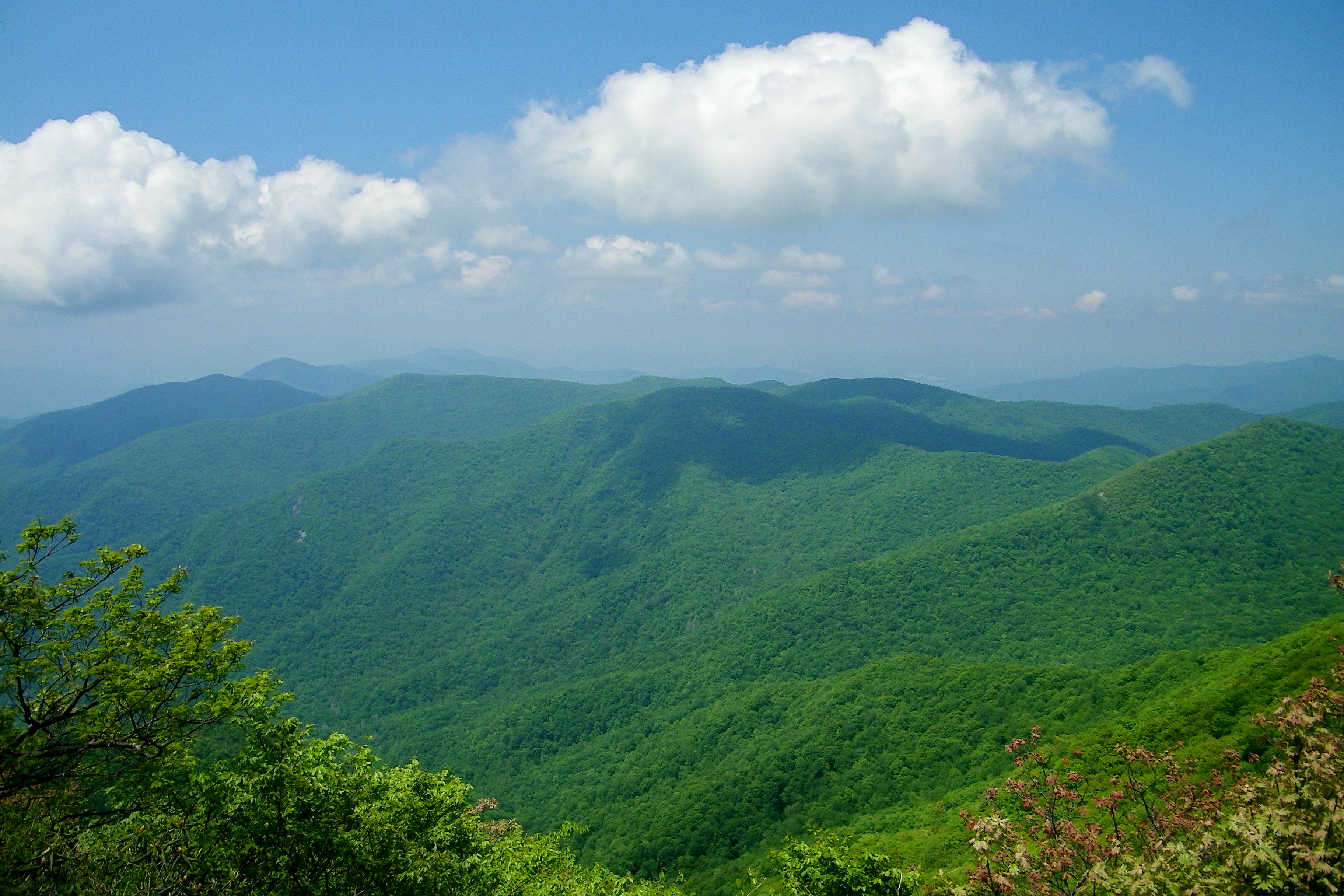
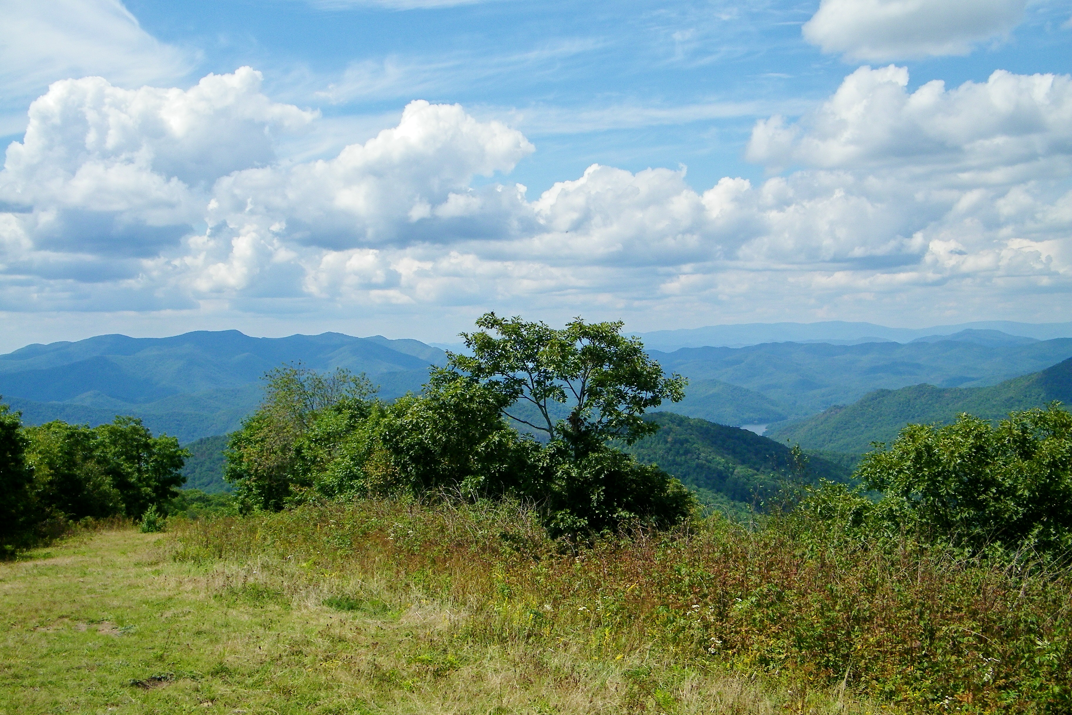
View from Wolfstake Knob

View of Eagle Mountain - W4G/NG-008
W4C/WM-024 - Siler Bald View
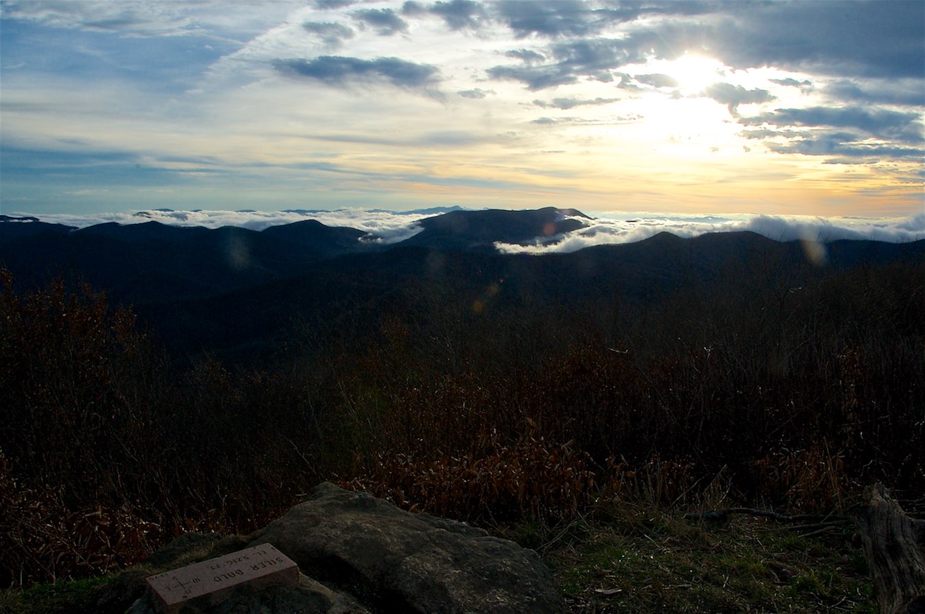
W4C/WM-024 - Siler Bald View
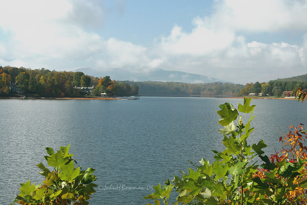
Clearing - Lake Chatuge, North Carolina
Silers Bald
Standing Indian Mountain
W4C/WM-024 - Siler Bald View
A view from Mt Albert
Halfway up Runaway Knob
Albert Mountain Fire Tower
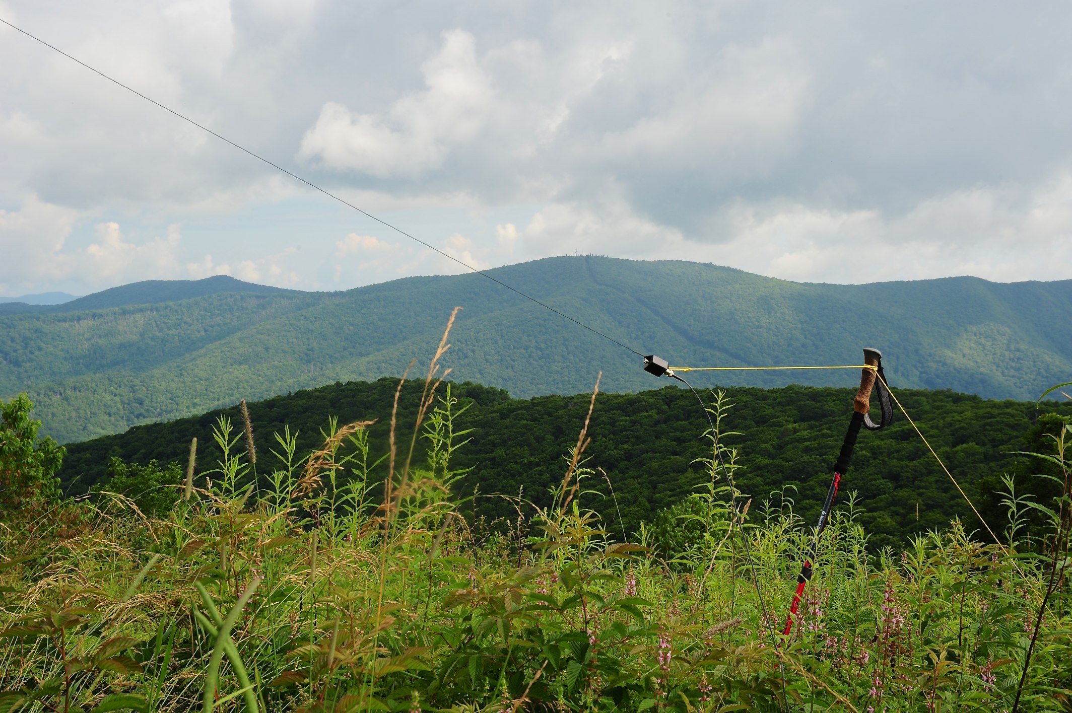
QTH View on W4C/WM-024 - Siler Bald
Silers Bald
Albert Mountain Fire Tower
Had the trail all to myself tonight. Finished off with this view. #ultratraining

View from Siler Bald Campsite
Silers Bald
Mapa de Red Bird Dr, Hayesville, NC, EE. UU.
Buscar otro lugar
Lugares cercanos
Red Bird Dr, Hayesville, NC, EE. UU.
Red Bird Dr, Hayesville, NC, EE. UU.
Burnt Leaf Lane, Burnt Leaf Ln, Shooting Creek, NC, EE. UU.
Red Bird Dr, Hayesville, NC, EE. UU.
Municipio de Shooting Creek, Carolina del Norte, EE. UU.
Skyview Dr, Hayesville, NC, EE. UU.
73 Brown Dr, Hayesville, NC, EE. UU.
Skyview Dr, Hayesville, NC, EE. UU.
Hwy 64E, Hayesville, NC, EE. UU.
Muskrat Creek Rd, Hayesville, NC, EE. UU.
35 Robert Holden Dr, Hayesville, NC, EE. UU.
Cove View RDG, Hayesville, NC, EE. UU.
Eagle Fork Rd, Hayesville, NC, EE. UU.
55 Conner Ln, Hayesville, NC, EE. UU.
S Brooks Cove Rd, Hayesville, NC, EE. UU.
Old Hwy 64 E, Hayesville, NC, EE. UU.
S Brooks Cove Rd, Hayesville, NC, EE. UU.
Bob Penland Rd, Hayesville, NC, EE. UU.
Dick Jones Rd, Hayesville, NC, EE. UU.
Dick Jones Rd, Hayesville, NC, EE. UU.
Búsquedas recientes
- Horas de salida y puesta de sol de Red Dog Mine, AK, USA
- Horas de salida y puesta de sol de Am Bahnhof, Am bhf, Borken, Germany
- Horas de salida y puesta de sol de 4th St E, Sonoma, CA, EE. UU.
- Horas de salida y puesta de sol de Oakland Ave, Williamsport, PA, EE. UU.
- Horas de salida y puesta de sol de Via Roma, Pieranica CR, Italia
- Horas de salida y puesta de sol de Torre del reloj, Grad, Dubrovnik (Ragusa), Croacia
- Horas de salida y puesta de sol de Trelew, Chubut, Argentina
- Horas de salida y puesta de sol de Hartfords Bluff Cir, Mt Pleasant, SC, EE. UU.
- Horas de salida y puesta de sol de Kita Ward, Kumamoto, Japón
- Horas de salida y puesta de sol de Pingtan Island, Pingtan County, Fuzhou, China