Horas de salida y puesta de sol de Raymond Peak, California, EE. UU.
Location: Estados Unidos > California > Condado de Alpine >
Zona horaria:
America/Los_Angeles
Hora local:
2025-06-23 11:53:17
Longitud:
-119.8332346
Latitud:
38.6037965
Salida de sol de hoy:
05:36:08 AM
Puesta de sol de hoy:
08:27:47 PM
La duración del día hoy:
14h 51m 39s
Salida de sol de mañana:
05:36:28 AM
Puesta de sol de mañana:
08:27:52 PM
La duración del día mañana:
14h 51m 24s
Mostrar todas las fechas
| Fecha | Salida de sol | Puesta de sol | Duración del día |
|---|---|---|---|
| 01/01/2025 | 07:17:10 AM | 04:49:57 PM | 9h 32m 47s |
| 02/01/2025 | 07:17:14 AM | 04:50:48 PM | 9h 33m 34s |
| 03/01/2025 | 07:17:16 AM | 04:51:40 PM | 9h 34m 24s |
| 04/01/2025 | 07:17:16 AM | 04:52:33 PM | 9h 35m 17s |
| 05/01/2025 | 07:17:14 AM | 04:53:28 PM | 9h 36m 14s |
| 06/01/2025 | 07:17:09 AM | 04:54:24 PM | 9h 37m 15s |
| 07/01/2025 | 07:17:03 AM | 04:55:21 PM | 9h 38m 18s |
| 08/01/2025 | 07:16:55 AM | 04:56:19 PM | 9h 39m 24s |
| 09/01/2025 | 07:16:44 AM | 04:57:18 PM | 9h 40m 34s |
| 10/01/2025 | 07:16:31 AM | 04:58:18 PM | 9h 41m 47s |
| 11/01/2025 | 07:16:16 AM | 04:59:19 PM | 9h 43m 3s |
| 12/01/2025 | 07:15:59 AM | 05:00:20 PM | 9h 44m 21s |
| 13/01/2025 | 07:15:40 AM | 05:01:23 PM | 9h 45m 43s |
| 14/01/2025 | 07:15:19 AM | 05:02:26 PM | 9h 47m 7s |
| 15/01/2025 | 07:14:56 AM | 05:03:30 PM | 9h 48m 34s |
| 16/01/2025 | 07:14:31 AM | 05:04:35 PM | 9h 50m 4s |
| 17/01/2025 | 07:14:03 AM | 05:05:40 PM | 9h 51m 37s |
| 18/01/2025 | 07:13:34 AM | 05:06:46 PM | 9h 53m 12s |
| 19/01/2025 | 07:13:03 AM | 05:07:52 PM | 9h 54m 49s |
| 20/01/2025 | 07:12:30 AM | 05:08:59 PM | 9h 56m 29s |
| 21/01/2025 | 07:11:55 AM | 05:10:06 PM | 9h 58m 11s |
| 22/01/2025 | 07:11:17 AM | 05:11:13 PM | 9h 59m 56s |
| 23/01/2025 | 07:10:39 AM | 05:12:21 PM | 10h 1m 42s |
| 24/01/2025 | 07:09:58 AM | 05:13:29 PM | 10h 3m 31s |
| 25/01/2025 | 07:09:15 AM | 05:14:37 PM | 10h 5m 22s |
| 26/01/2025 | 07:08:31 AM | 05:15:46 PM | 10h 7m 15s |
| 27/01/2025 | 07:07:44 AM | 05:16:54 PM | 10h 9m 10s |
| 28/01/2025 | 07:06:57 AM | 05:18:03 PM | 10h 11m 6s |
| 29/01/2025 | 07:06:07 AM | 05:19:12 PM | 10h 13m 5s |
| 30/01/2025 | 07:05:15 AM | 05:20:21 PM | 10h 15m 6s |
| 31/01/2025 | 07:04:22 AM | 05:21:30 PM | 10h 17m 8s |
| 01/02/2025 | 07:03:28 AM | 05:22:39 PM | 10h 19m 11s |
| 02/02/2025 | 07:02:32 AM | 05:23:47 PM | 10h 21m 15s |
| 03/02/2025 | 07:01:34 AM | 05:24:56 PM | 10h 23m 22s |
| 04/02/2025 | 07:00:34 AM | 05:26:05 PM | 10h 25m 31s |
| 05/02/2025 | 06:59:34 AM | 05:27:14 PM | 10h 27m 40s |
| 06/02/2025 | 06:58:31 AM | 05:28:22 PM | 10h 29m 51s |
| 07/02/2025 | 06:57:28 AM | 05:29:30 PM | 10h 32m 2s |
| 08/02/2025 | 06:56:22 AM | 05:30:38 PM | 10h 34m 16s |
| 09/02/2025 | 06:55:16 AM | 05:31:46 PM | 10h 36m 30s |
| 10/02/2025 | 06:54:08 AM | 05:32:54 PM | 10h 38m 46s |
| 11/02/2025 | 06:52:59 AM | 05:34:02 PM | 10h 41m 3s |
| 12/02/2025 | 06:51:49 AM | 05:35:09 PM | 10h 43m 20s |
| 13/02/2025 | 06:50:37 AM | 05:36:16 PM | 10h 45m 39s |
| 14/02/2025 | 06:49:24 AM | 05:37:23 PM | 10h 47m 59s |
| 15/02/2025 | 06:48:11 AM | 05:38:29 PM | 10h 50m 18s |
| 16/02/2025 | 06:46:56 AM | 05:39:35 PM | 10h 52m 39s |
| 17/02/2025 | 06:45:39 AM | 05:40:41 PM | 10h 55m 2s |
| 18/02/2025 | 06:44:22 AM | 05:41:47 PM | 10h 57m 25s |
| 19/02/2025 | 06:43:04 AM | 05:42:52 PM | 10h 59m 48s |
| 20/02/2025 | 06:41:45 AM | 05:43:57 PM | 11h 2m 12s |
| 21/02/2025 | 06:40:25 AM | 05:45:02 PM | 11h 4m 37s |
| 22/02/2025 | 06:39:04 AM | 05:46:06 PM | 11h 7m 2s |
| 23/02/2025 | 06:37:42 AM | 05:47:10 PM | 11h 9m 28s |
| 24/02/2025 | 06:36:19 AM | 05:48:14 PM | 11h 11m 55s |
| 25/02/2025 | 06:34:55 AM | 05:49:18 PM | 11h 14m 23s |
| 26/02/2025 | 06:33:31 AM | 05:50:21 PM | 11h 16m 50s |
| 27/02/2025 | 06:32:06 AM | 05:51:24 PM | 11h 19m 18s |
| 28/02/2025 | 06:30:40 AM | 05:52:26 PM | 11h 21m 46s |
| 01/03/2025 | 06:29:14 AM | 05:53:28 PM | 11h 24m 14s |
| 02/03/2025 | 06:27:46 AM | 05:54:30 PM | 11h 26m 44s |
| 03/03/2025 | 06:26:19 AM | 05:55:32 PM | 11h 29m 13s |
| 04/03/2025 | 06:24:50 AM | 05:56:33 PM | 11h 31m 43s |
| 05/03/2025 | 06:23:21 AM | 05:57:34 PM | 11h 34m 13s |
| 06/03/2025 | 06:21:52 AM | 05:58:35 PM | 11h 36m 43s |
| 07/03/2025 | 06:20:22 AM | 05:59:35 PM | 11h 39m 13s |
| 08/03/2025 | 06:18:51 AM | 06:00:36 PM | 11h 41m 45s |
| 09/03/2025 | 07:17:24 AM | 07:01:33 PM | 11h 44m 9s |
| 10/03/2025 | 07:15:53 AM | 07:02:33 PM | 11h 46m 40s |
| 11/03/2025 | 07:14:22 AM | 07:03:32 PM | 11h 49m 10s |
| 12/03/2025 | 07:12:50 AM | 07:04:32 PM | 11h 51m 42s |
| 13/03/2025 | 07:11:17 AM | 07:05:31 PM | 11h 54m 14s |
| 14/03/2025 | 07:09:45 AM | 07:06:30 PM | 11h 56m 45s |
| 15/03/2025 | 07:08:12 AM | 07:07:28 PM | 11h 59m 16s |
| 16/03/2025 | 07:06:39 AM | 07:08:27 PM | 12h 1m 48s |
| 17/03/2025 | 07:05:06 AM | 07:09:25 PM | 12h 4m 19s |
| 18/03/2025 | 07:03:33 AM | 07:10:23 PM | 12h 6m 50s |
| 19/03/2025 | 07:01:59 AM | 07:11:21 PM | 12h 9m 22s |
| 20/03/2025 | 07:00:26 AM | 07:12:19 PM | 12h 11m 53s |
| 21/03/2025 | 06:58:52 AM | 07:13:17 PM | 12h 14m 25s |
| 22/03/2025 | 06:57:18 AM | 07:14:15 PM | 12h 16m 57s |
| 23/03/2025 | 06:55:45 AM | 07:15:12 PM | 12h 19m 27s |
| 24/03/2025 | 06:54:11 AM | 07:16:10 PM | 12h 21m 59s |
| 25/03/2025 | 06:52:38 AM | 07:17:07 PM | 12h 24m 29s |
| 26/03/2025 | 06:51:04 AM | 07:18:04 PM | 12h 27m 0s |
| 27/03/2025 | 06:49:31 AM | 07:19:01 PM | 12h 29m 30s |
| 28/03/2025 | 06:47:58 AM | 07:19:58 PM | 12h 32m 0s |
| 29/03/2025 | 06:46:25 AM | 07:20:55 PM | 12h 34m 30s |
| 30/03/2025 | 06:44:52 AM | 07:21:52 PM | 12h 37m 0s |
| 31/03/2025 | 06:43:19 AM | 07:22:49 PM | 12h 39m 30s |
| 01/04/2025 | 06:41:47 AM | 07:23:46 PM | 12h 41m 59s |
| 02/04/2025 | 06:40:15 AM | 07:24:43 PM | 12h 44m 28s |
| 03/04/2025 | 06:38:43 AM | 07:25:40 PM | 12h 46m 57s |
| 04/04/2025 | 06:37:12 AM | 07:26:37 PM | 12h 49m 25s |
| 05/04/2025 | 06:35:41 AM | 07:27:34 PM | 12h 51m 53s |
| 06/04/2025 | 06:34:11 AM | 07:28:31 PM | 12h 54m 20s |
| 07/04/2025 | 06:32:41 AM | 07:29:28 PM | 12h 56m 47s |
| 08/04/2025 | 06:31:11 AM | 07:30:25 PM | 12h 59m 14s |
| 09/04/2025 | 06:29:42 AM | 07:31:22 PM | 13h 1m 40s |
| 10/04/2025 | 06:28:13 AM | 07:32:19 PM | 13h 4m 6s |
| 11/04/2025 | 06:26:45 AM | 07:33:16 PM | 13h 6m 31s |
| 12/04/2025 | 06:25:18 AM | 07:34:13 PM | 13h 8m 55s |
| 13/04/2025 | 06:23:51 AM | 07:35:10 PM | 13h 11m 19s |
| 14/04/2025 | 06:22:25 AM | 07:36:07 PM | 13h 13m 42s |
| 15/04/2025 | 06:21:00 AM | 07:37:05 PM | 13h 16m 5s |
| 16/04/2025 | 06:19:35 AM | 07:38:02 PM | 13h 18m 27s |
| 17/04/2025 | 06:18:11 AM | 07:38:59 PM | 13h 20m 48s |
| 18/04/2025 | 06:16:48 AM | 07:39:56 PM | 13h 23m 8s |
| 19/04/2025 | 06:15:26 AM | 07:40:54 PM | 13h 25m 28s |
| 20/04/2025 | 06:14:04 AM | 07:41:51 PM | 13h 27m 47s |
| 21/04/2025 | 06:12:44 AM | 07:42:48 PM | 13h 30m 4s |
| 22/04/2025 | 06:11:24 AM | 07:43:46 PM | 13h 32m 22s |
| 23/04/2025 | 06:10:05 AM | 07:44:43 PM | 13h 34m 38s |
| 24/04/2025 | 06:08:47 AM | 07:45:40 PM | 13h 36m 53s |
| 25/04/2025 | 06:07:31 AM | 07:46:38 PM | 13h 39m 7s |
| 26/04/2025 | 06:06:15 AM | 07:47:35 PM | 13h 41m 20s |
| 27/04/2025 | 06:05:00 AM | 07:48:32 PM | 13h 43m 32s |
| 28/04/2025 | 06:03:46 AM | 07:49:30 PM | 13h 45m 44s |
| 29/04/2025 | 06:02:34 AM | 07:50:27 PM | 13h 47m 53s |
| 30/04/2025 | 06:01:23 AM | 07:51:24 PM | 13h 50m 1s |
| 01/05/2025 | 06:00:12 AM | 07:52:21 PM | 13h 52m 9s |
| 02/05/2025 | 05:59:03 AM | 07:53:18 PM | 13h 54m 15s |
| 03/05/2025 | 05:57:56 AM | 07:54:14 PM | 13h 56m 18s |
| 04/05/2025 | 05:56:49 AM | 07:55:11 PM | 13h 58m 22s |
| 05/05/2025 | 05:55:44 AM | 07:56:07 PM | 14h 0m 23s |
| 06/05/2025 | 05:54:40 AM | 07:57:04 PM | 14h 2m 24s |
| 07/05/2025 | 05:53:37 AM | 07:58:00 PM | 14h 4m 23s |
| 08/05/2025 | 05:52:36 AM | 07:58:55 PM | 14h 6m 19s |
| 09/05/2025 | 05:51:37 AM | 07:59:51 PM | 14h 8m 14s |
| 10/05/2025 | 05:50:38 AM | 08:00:46 PM | 14h 10m 8s |
| 11/05/2025 | 05:49:41 AM | 08:01:41 PM | 14h 12m 0s |
| 12/05/2025 | 05:48:46 AM | 08:02:36 PM | 14h 13m 50s |
| 13/05/2025 | 05:47:52 AM | 08:03:30 PM | 14h 15m 38s |
| 14/05/2025 | 05:47:00 AM | 08:04:24 PM | 14h 17m 24s |
| 15/05/2025 | 05:46:09 AM | 08:05:17 PM | 14h 19m 8s |
| 16/05/2025 | 05:45:20 AM | 08:06:10 PM | 14h 20m 50s |
| 17/05/2025 | 05:44:32 AM | 08:07:02 PM | 14h 22m 30s |
| 18/05/2025 | 05:43:47 AM | 08:07:54 PM | 14h 24m 7s |
| 19/05/2025 | 05:43:02 AM | 08:08:45 PM | 14h 25m 43s |
| 20/05/2025 | 05:42:20 AM | 08:09:36 PM | 14h 27m 16s |
| 21/05/2025 | 05:41:39 AM | 08:10:26 PM | 14h 28m 47s |
| 22/05/2025 | 05:41:00 AM | 08:11:15 PM | 14h 30m 15s |
| 23/05/2025 | 05:40:22 AM | 08:12:04 PM | 14h 31m 42s |
| 24/05/2025 | 05:39:47 AM | 08:12:52 PM | 14h 33m 5s |
| 25/05/2025 | 05:39:13 AM | 08:13:39 PM | 14h 34m 26s |
| 26/05/2025 | 05:38:41 AM | 08:14:25 PM | 14h 35m 44s |
| 27/05/2025 | 05:38:10 AM | 08:15:11 PM | 14h 37m 1s |
| 28/05/2025 | 05:37:42 AM | 08:15:55 PM | 14h 38m 13s |
| 29/05/2025 | 05:37:15 AM | 08:16:39 PM | 14h 39m 24s |
| 30/05/2025 | 05:36:50 AM | 08:17:21 PM | 14h 40m 31s |
| 31/05/2025 | 05:36:27 AM | 08:18:02 PM | 14h 41m 35s |
| 01/06/2025 | 05:36:06 AM | 08:18:43 PM | 14h 42m 37s |
| 02/06/2025 | 05:35:46 AM | 08:19:22 PM | 14h 43m 36s |
| 03/06/2025 | 05:35:29 AM | 08:20:00 PM | 14h 44m 31s |
| 04/06/2025 | 05:35:13 AM | 08:20:37 PM | 14h 45m 24s |
| 05/06/2025 | 05:35:00 AM | 08:21:13 PM | 14h 46m 13s |
| 06/06/2025 | 05:34:48 AM | 08:21:47 PM | 14h 46m 59s |
| 07/06/2025 | 05:34:38 AM | 08:22:21 PM | 14h 47m 43s |
| 08/06/2025 | 05:34:29 AM | 08:22:52 PM | 14h 48m 23s |
| 09/06/2025 | 05:34:23 AM | 08:23:23 PM | 14h 49m 0s |
| 10/06/2025 | 05:34:18 AM | 08:23:52 PM | 14h 49m 34s |
| 11/06/2025 | 05:34:16 AM | 08:24:19 PM | 14h 50m 3s |
| 12/06/2025 | 05:34:15 AM | 08:24:45 PM | 14h 50m 30s |
| 13/06/2025 | 05:34:16 AM | 08:25:10 PM | 14h 50m 54s |
| 14/06/2025 | 05:34:18 AM | 08:25:33 PM | 14h 51m 15s |
| 15/06/2025 | 05:34:23 AM | 08:25:54 PM | 14h 51m 31s |
| 16/06/2025 | 05:34:29 AM | 08:26:14 PM | 14h 51m 45s |
| 17/06/2025 | 05:34:37 AM | 08:26:32 PM | 14h 51m 55s |
| 18/06/2025 | 05:34:47 AM | 08:26:48 PM | 14h 52m 1s |
| 19/06/2025 | 05:34:58 AM | 08:27:03 PM | 14h 52m 5s |
| 20/06/2025 | 05:35:11 AM | 08:27:16 PM | 14h 52m 5s |
| 21/06/2025 | 05:35:26 AM | 08:27:27 PM | 14h 52m 1s |
| 22/06/2025 | 05:35:43 AM | 08:27:37 PM | 14h 51m 54s |
| 23/06/2025 | 05:36:01 AM | 08:27:45 PM | 14h 51m 44s |
| 24/06/2025 | 05:36:20 AM | 08:27:51 PM | 14h 51m 31s |
| 25/06/2025 | 05:36:41 AM | 08:27:55 PM | 14h 51m 14s |
| 26/06/2025 | 05:37:04 AM | 08:27:57 PM | 14h 50m 53s |
| 27/06/2025 | 05:37:28 AM | 08:27:57 PM | 14h 50m 29s |
| 28/06/2025 | 05:37:54 AM | 08:27:56 PM | 14h 50m 2s |
| 29/06/2025 | 05:38:21 AM | 08:27:53 PM | 14h 49m 32s |
| 30/06/2025 | 05:38:49 AM | 08:27:47 PM | 14h 48m 58s |
| 01/07/2025 | 05:39:19 AM | 08:27:40 PM | 14h 48m 21s |
| 02/07/2025 | 05:39:50 AM | 08:27:31 PM | 14h 47m 41s |
| 03/07/2025 | 05:40:22 AM | 08:27:20 PM | 14h 46m 58s |
| 04/07/2025 | 05:40:55 AM | 08:27:08 PM | 14h 46m 13s |
| 05/07/2025 | 05:41:30 AM | 08:26:53 PM | 14h 45m 23s |
| 06/07/2025 | 05:42:06 AM | 08:26:36 PM | 14h 44m 30s |
| 07/07/2025 | 05:42:43 AM | 08:26:18 PM | 14h 43m 35s |
| 08/07/2025 | 05:43:21 AM | 08:25:58 PM | 14h 42m 37s |
| 09/07/2025 | 05:44:00 AM | 08:25:35 PM | 14h 41m 35s |
| 10/07/2025 | 05:44:40 AM | 08:25:11 PM | 14h 40m 31s |
| 11/07/2025 | 05:45:21 AM | 08:24:45 PM | 14h 39m 24s |
| 12/07/2025 | 05:46:03 AM | 08:24:17 PM | 14h 38m 14s |
| 13/07/2025 | 05:46:46 AM | 08:23:48 PM | 14h 37m 2s |
| 14/07/2025 | 05:47:29 AM | 08:23:16 PM | 14h 35m 47s |
| 15/07/2025 | 05:48:14 AM | 08:22:43 PM | 14h 34m 29s |
| 16/07/2025 | 05:48:59 AM | 08:22:07 PM | 14h 33m 8s |
| 17/07/2025 | 05:49:45 AM | 08:21:31 PM | 14h 31m 46s |
| 18/07/2025 | 05:50:31 AM | 08:20:52 PM | 14h 30m 21s |
| 19/07/2025 | 05:51:19 AM | 08:20:11 PM | 14h 28m 52s |
| 20/07/2025 | 05:52:07 AM | 08:19:29 PM | 14h 27m 22s |
| 21/07/2025 | 05:52:55 AM | 08:18:45 PM | 14h 25m 50s |
| 22/07/2025 | 05:53:44 AM | 08:17:59 PM | 14h 24m 15s |
| 23/07/2025 | 05:54:33 AM | 08:17:12 PM | 14h 22m 39s |
| 24/07/2025 | 05:55:23 AM | 08:16:23 PM | 14h 21m 0s |
| 25/07/2025 | 05:56:14 AM | 08:15:33 PM | 14h 19m 19s |
| 26/07/2025 | 05:57:04 AM | 08:14:40 PM | 14h 17m 36s |
| 27/07/2025 | 05:57:56 AM | 08:13:47 PM | 14h 15m 51s |
| 28/07/2025 | 05:58:47 AM | 08:12:51 PM | 14h 14m 4s |
| 29/07/2025 | 05:59:39 AM | 08:11:54 PM | 14h 12m 15s |
| 30/07/2025 | 06:00:31 AM | 08:10:56 PM | 14h 10m 25s |
| 31/07/2025 | 06:01:23 AM | 08:09:56 PM | 14h 8m 33s |
| 01/08/2025 | 06:02:16 AM | 08:08:55 PM | 14h 6m 39s |
| 02/08/2025 | 06:03:08 AM | 08:07:52 PM | 14h 4m 44s |
| 03/08/2025 | 06:04:01 AM | 08:06:48 PM | 14h 2m 47s |
| 04/08/2025 | 06:04:54 AM | 08:05:43 PM | 14h 0m 49s |
| 05/08/2025 | 06:05:48 AM | 08:04:36 PM | 13h 58m 48s |
| 06/08/2025 | 06:06:41 AM | 08:03:28 PM | 13h 56m 47s |
| 07/08/2025 | 06:07:34 AM | 08:02:19 PM | 13h 54m 45s |
| 08/08/2025 | 06:08:28 AM | 08:01:08 PM | 13h 52m 40s |
| 09/08/2025 | 06:09:22 AM | 07:59:56 PM | 13h 50m 34s |
| 10/08/2025 | 06:10:15 AM | 07:58:43 PM | 13h 48m 28s |
| 11/08/2025 | 06:11:09 AM | 07:57:29 PM | 13h 46m 20s |
| 12/08/2025 | 06:12:03 AM | 07:56:14 PM | 13h 44m 11s |
| 13/08/2025 | 06:12:56 AM | 07:54:57 PM | 13h 42m 1s |
| 14/08/2025 | 06:13:50 AM | 07:53:40 PM | 13h 39m 50s |
| 15/08/2025 | 06:14:44 AM | 07:52:21 PM | 13h 37m 37s |
| 16/08/2025 | 06:15:37 AM | 07:51:02 PM | 13h 35m 25s |
| 17/08/2025 | 06:16:31 AM | 07:49:42 PM | 13h 33m 11s |
| 18/08/2025 | 06:17:24 AM | 07:48:20 PM | 13h 30m 56s |
| 19/08/2025 | 06:18:18 AM | 07:46:58 PM | 13h 28m 40s |
| 20/08/2025 | 06:19:11 AM | 07:45:35 PM | 13h 26m 24s |
| 21/08/2025 | 06:20:05 AM | 07:44:11 PM | 13h 24m 6s |
| 22/08/2025 | 06:20:58 AM | 07:42:46 PM | 13h 21m 48s |
| 23/08/2025 | 06:21:52 AM | 07:41:20 PM | 13h 19m 28s |
| 24/08/2025 | 06:22:45 AM | 07:39:54 PM | 13h 17m 9s |
| 25/08/2025 | 06:23:38 AM | 07:38:27 PM | 13h 14m 49s |
| 26/08/2025 | 06:24:31 AM | 07:36:59 PM | 13h 12m 28s |
| 27/08/2025 | 06:25:24 AM | 07:35:30 PM | 13h 10m 6s |
| 28/08/2025 | 06:26:17 AM | 07:34:01 PM | 13h 7m 44s |
| 29/08/2025 | 06:27:10 AM | 07:32:31 PM | 13h 5m 21s |
| 30/08/2025 | 06:28:03 AM | 07:31:01 PM | 13h 2m 58s |
| 31/08/2025 | 06:28:55 AM | 07:29:30 PM | 13h 0m 35s |
| 01/09/2025 | 06:29:48 AM | 07:27:58 PM | 12h 58m 10s |
| 02/09/2025 | 06:30:41 AM | 07:26:27 PM | 12h 55m 46s |
| 03/09/2025 | 06:31:34 AM | 07:24:54 PM | 12h 53m 20s |
| 04/09/2025 | 06:32:26 AM | 07:23:21 PM | 12h 50m 55s |
| 05/09/2025 | 06:33:19 AM | 07:21:48 PM | 12h 48m 29s |
| 06/09/2025 | 06:34:11 AM | 07:20:14 PM | 12h 46m 3s |
| 07/09/2025 | 06:35:04 AM | 07:18:41 PM | 12h 43m 37s |
| 08/09/2025 | 06:35:56 AM | 07:17:06 PM | 12h 41m 10s |
| 09/09/2025 | 06:36:49 AM | 07:15:32 PM | 12h 38m 43s |
| 10/09/2025 | 06:37:41 AM | 07:13:57 PM | 12h 36m 16s |
| 11/09/2025 | 06:38:34 AM | 07:12:22 PM | 12h 33m 48s |
| 12/09/2025 | 06:39:27 AM | 07:10:47 PM | 12h 31m 20s |
| 13/09/2025 | 06:40:19 AM | 07:09:11 PM | 12h 28m 52s |
| 14/09/2025 | 06:41:12 AM | 07:07:36 PM | 12h 26m 24s |
| 15/09/2025 | 06:42:05 AM | 07:06:00 PM | 12h 23m 55s |
| 16/09/2025 | 06:42:58 AM | 07:04:24 PM | 12h 21m 26s |
| 17/09/2025 | 06:43:51 AM | 07:02:48 PM | 12h 18m 57s |
| 18/09/2025 | 06:44:44 AM | 07:01:13 PM | 12h 16m 29s |
| 19/09/2025 | 06:45:37 AM | 06:59:37 PM | 12h 14m 0s |
| 20/09/2025 | 06:46:30 AM | 06:58:01 PM | 12h 11m 31s |
| 21/09/2025 | 06:47:23 AM | 06:56:25 PM | 12h 9m 2s |
| 22/09/2025 | 06:48:17 AM | 06:54:50 PM | 12h 6m 33s |
| 23/09/2025 | 06:49:10 AM | 06:53:14 PM | 12h 4m 4s |
| 24/09/2025 | 06:50:04 AM | 06:51:39 PM | 12h 1m 35s |
| 25/09/2025 | 06:50:58 AM | 06:50:04 PM | 11h 59m 6s |
| 26/09/2025 | 06:51:52 AM | 06:48:29 PM | 11h 56m 37s |
| 27/09/2025 | 06:52:47 AM | 06:46:54 PM | 11h 54m 7s |
| 28/09/2025 | 06:53:41 AM | 06:45:20 PM | 11h 51m 39s |
| 29/09/2025 | 06:54:36 AM | 06:43:46 PM | 11h 49m 10s |
| 30/09/2025 | 06:55:31 AM | 06:42:12 PM | 11h 46m 41s |
| 01/10/2025 | 06:56:27 AM | 06:40:38 PM | 11h 44m 11s |
| 02/10/2025 | 06:57:22 AM | 06:39:05 PM | 11h 41m 43s |
| 03/10/2025 | 06:58:18 AM | 06:37:33 PM | 11h 39m 15s |
| 04/10/2025 | 06:59:14 AM | 06:36:00 PM | 11h 36m 46s |
| 05/10/2025 | 07:00:10 AM | 06:34:29 PM | 11h 34m 19s |
| 06/10/2025 | 07:01:07 AM | 06:32:58 PM | 11h 31m 51s |
| 07/10/2025 | 07:02:04 AM | 06:31:27 PM | 11h 29m 23s |
| 08/10/2025 | 07:03:01 AM | 06:29:57 PM | 11h 26m 56s |
| 09/10/2025 | 07:03:59 AM | 06:28:28 PM | 11h 24m 29s |
| 10/10/2025 | 07:04:56 AM | 06:26:59 PM | 11h 22m 3s |
| 11/10/2025 | 07:05:55 AM | 06:25:31 PM | 11h 19m 36s |
| 12/10/2025 | 07:06:53 AM | 06:24:03 PM | 11h 17m 10s |
| 13/10/2025 | 07:07:52 AM | 06:22:37 PM | 11h 14m 45s |
| 14/10/2025 | 07:08:51 AM | 06:21:11 PM | 11h 12m 20s |
| 15/10/2025 | 07:09:50 AM | 06:19:46 PM | 11h 9m 56s |
| 16/10/2025 | 07:10:50 AM | 06:18:22 PM | 11h 7m 32s |
| 17/10/2025 | 07:11:50 AM | 06:16:58 PM | 11h 5m 8s |
| 18/10/2025 | 07:12:51 AM | 06:15:36 PM | 11h 2m 45s |
| 19/10/2025 | 07:13:52 AM | 06:14:14 PM | 11h 0m 22s |
| 20/10/2025 | 07:14:53 AM | 06:12:54 PM | 10h 58m 1s |
| 21/10/2025 | 07:15:54 AM | 06:11:34 PM | 10h 55m 40s |
| 22/10/2025 | 07:16:56 AM | 06:10:16 PM | 10h 53m 20s |
| 23/10/2025 | 07:17:58 AM | 06:08:58 PM | 10h 51m 0s |
| 24/10/2025 | 07:19:01 AM | 06:07:42 PM | 10h 48m 41s |
| 25/10/2025 | 07:20:04 AM | 06:06:27 PM | 10h 46m 23s |
| 26/10/2025 | 07:21:07 AM | 06:05:12 PM | 10h 44m 5s |
| 27/10/2025 | 07:22:10 AM | 06:04:00 PM | 10h 41m 50s |
| 28/10/2025 | 07:23:14 AM | 06:02:48 PM | 10h 39m 34s |
| 29/10/2025 | 07:24:18 AM | 06:01:38 PM | 10h 37m 20s |
| 30/10/2025 | 07:25:22 AM | 06:00:29 PM | 10h 35m 7s |
| 31/10/2025 | 07:26:26 AM | 05:59:21 PM | 10h 32m 55s |
| 01/11/2025 | 07:27:31 AM | 05:58:15 PM | 10h 30m 44s |
| 02/11/2025 | 06:28:39 AM | 04:57:07 PM | 10h 28m 28s |
| 03/11/2025 | 06:29:44 AM | 04:56:04 PM | 10h 26m 20s |
| 04/11/2025 | 06:30:49 AM | 04:55:02 PM | 10h 24m 13s |
| 05/11/2025 | 06:31:55 AM | 04:54:02 PM | 10h 22m 7s |
| 06/11/2025 | 06:33:00 AM | 04:53:03 PM | 10h 20m 3s |
| 07/11/2025 | 06:34:06 AM | 04:52:06 PM | 10h 18m 0s |
| 08/11/2025 | 06:35:12 AM | 04:51:10 PM | 10h 15m 58s |
| 09/11/2025 | 06:36:17 AM | 04:50:16 PM | 10h 13m 59s |
| 10/11/2025 | 06:37:23 AM | 04:49:24 PM | 10h 12m 1s |
| 11/11/2025 | 06:38:29 AM | 04:48:33 PM | 10h 10m 4s |
| 12/11/2025 | 06:39:35 AM | 04:47:44 PM | 10h 8m 9s |
| 13/11/2025 | 06:40:41 AM | 04:46:57 PM | 10h 6m 16s |
| 14/11/2025 | 06:41:46 AM | 04:46:12 PM | 10h 4m 26s |
| 15/11/2025 | 06:42:52 AM | 04:45:28 PM | 10h 2m 36s |
| 16/11/2025 | 06:43:57 AM | 04:44:47 PM | 10h 0m 50s |
| 17/11/2025 | 06:45:02 AM | 04:44:07 PM | 9h 59m 5s |
| 18/11/2025 | 06:46:07 AM | 04:43:29 PM | 9h 57m 22s |
| 19/11/2025 | 06:47:11 AM | 04:42:53 PM | 9h 55m 42s |
| 20/11/2025 | 06:48:15 AM | 04:42:20 PM | 9h 54m 5s |
| 21/11/2025 | 06:49:19 AM | 04:41:48 PM | 9h 52m 29s |
| 22/11/2025 | 06:50:22 AM | 04:41:18 PM | 9h 50m 56s |
| 23/11/2025 | 06:51:25 AM | 04:40:50 PM | 9h 49m 25s |
| 24/11/2025 | 06:52:27 AM | 04:40:24 PM | 9h 47m 57s |
| 25/11/2025 | 06:53:29 AM | 04:40:00 PM | 9h 46m 31s |
| 26/11/2025 | 06:54:30 AM | 04:39:39 PM | 9h 45m 9s |
| 27/11/2025 | 06:55:30 AM | 04:39:19 PM | 9h 43m 49s |
| 28/11/2025 | 06:56:30 AM | 04:39:02 PM | 9h 42m 32s |
| 29/11/2025 | 06:57:29 AM | 04:38:46 PM | 9h 41m 17s |
| 30/11/2025 | 06:58:27 AM | 04:38:33 PM | 9h 40m 6s |
| 01/12/2025 | 06:59:24 AM | 04:38:22 PM | 9h 38m 58s |
| 02/12/2025 | 07:00:20 AM | 04:38:13 PM | 9h 37m 53s |
| 03/12/2025 | 07:01:15 AM | 04:38:07 PM | 9h 36m 52s |
| 04/12/2025 | 07:02:09 AM | 04:38:02 PM | 9h 35m 53s |
| 05/12/2025 | 07:03:02 AM | 04:38:00 PM | 9h 34m 58s |
| 06/12/2025 | 07:03:54 AM | 04:38:00 PM | 9h 34m 6s |
| 07/12/2025 | 07:04:45 AM | 04:38:02 PM | 9h 33m 17s |
| 08/12/2025 | 07:05:34 AM | 04:38:06 PM | 9h 32m 32s |
| 09/12/2025 | 07:06:22 AM | 04:38:12 PM | 9h 31m 50s |
| 10/12/2025 | 07:07:09 AM | 04:38:21 PM | 9h 31m 12s |
| 11/12/2025 | 07:07:55 AM | 04:38:31 PM | 9h 30m 36s |
| 12/12/2025 | 07:08:38 AM | 04:38:44 PM | 9h 30m 6s |
| 13/12/2025 | 07:09:21 AM | 04:38:59 PM | 9h 29m 38s |
| 14/12/2025 | 07:10:02 AM | 04:39:16 PM | 9h 29m 14s |
| 15/12/2025 | 07:10:41 AM | 04:39:35 PM | 9h 28m 54s |
| 16/12/2025 | 07:11:19 AM | 04:39:56 PM | 9h 28m 37s |
| 17/12/2025 | 07:11:54 AM | 04:40:19 PM | 9h 28m 25s |
| 18/12/2025 | 07:12:29 AM | 04:40:44 PM | 9h 28m 15s |
| 19/12/2025 | 07:13:01 AM | 04:41:11 PM | 9h 28m 10s |
| 20/12/2025 | 07:13:32 AM | 04:41:40 PM | 9h 28m 8s |
| 21/12/2025 | 07:14:01 AM | 04:42:11 PM | 9h 28m 10s |
| 22/12/2025 | 07:14:28 AM | 04:42:43 PM | 9h 28m 15s |
| 23/12/2025 | 07:14:53 AM | 04:43:18 PM | 9h 28m 25s |
| 24/12/2025 | 07:15:16 AM | 04:43:54 PM | 9h 28m 38s |
| 25/12/2025 | 07:15:37 AM | 04:44:32 PM | 9h 28m 55s |
| 26/12/2025 | 07:15:56 AM | 04:45:12 PM | 9h 29m 16s |
| 27/12/2025 | 07:16:13 AM | 04:45:54 PM | 9h 29m 41s |
| 28/12/2025 | 07:16:28 AM | 04:46:37 PM | 9h 30m 9s |
| 29/12/2025 | 07:16:41 AM | 04:47:21 PM | 9h 30m 40s |
| 30/12/2025 | 07:16:52 AM | 04:48:08 PM | 9h 31m 16s |
| 31/12/2025 | 07:17:01 AM | 04:48:55 PM | 9h 31m 54s |
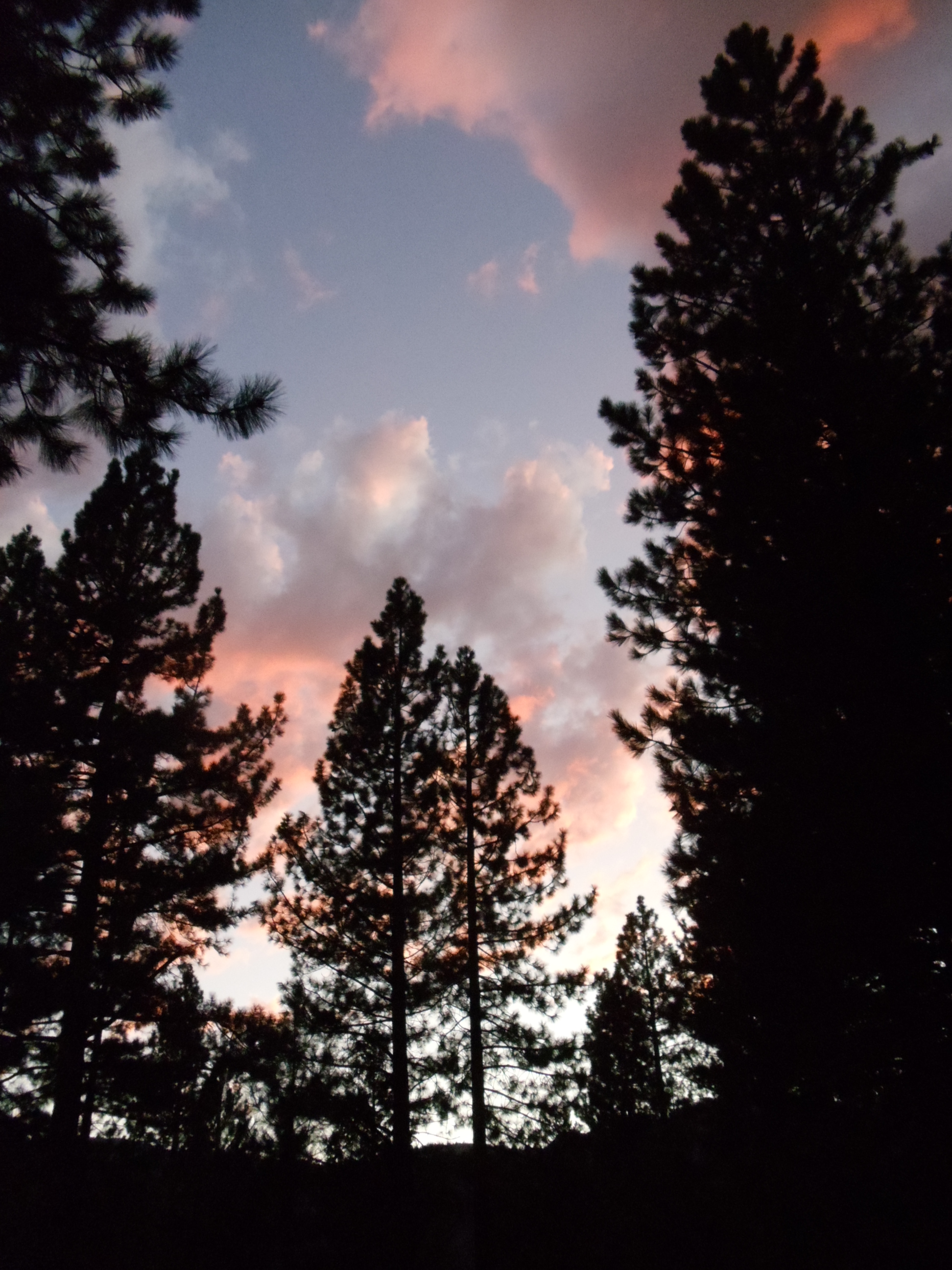
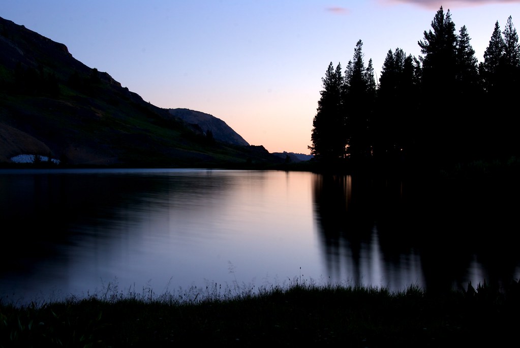
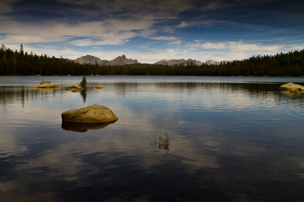
Fotos
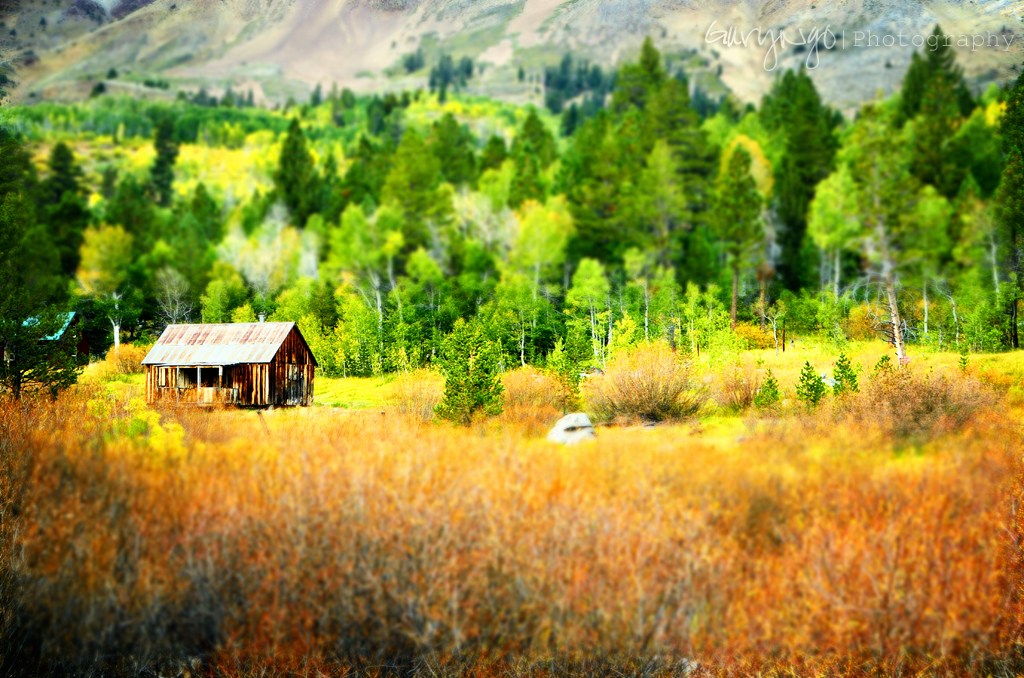
Autumn Painting
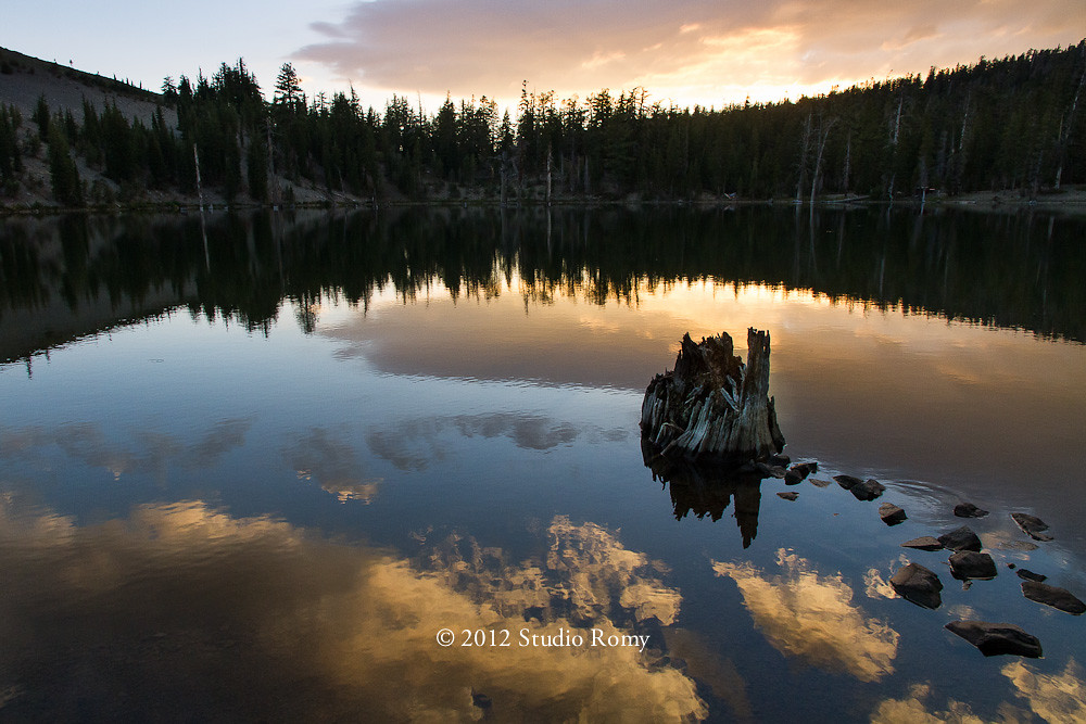
Sunset at Lost Lake
Sunset on the Upper Lost Lake

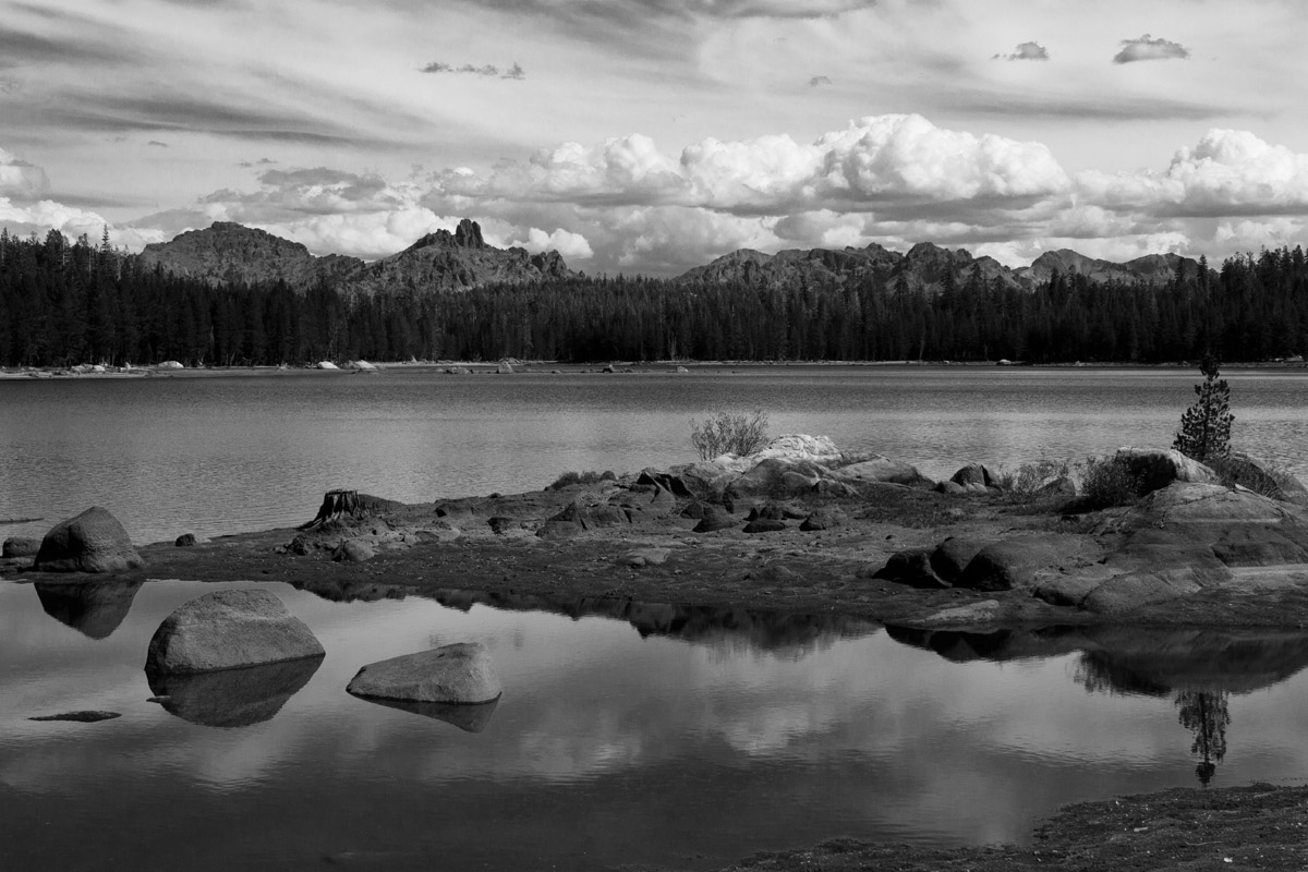
Bull Run Lake Panorama

DSC_0013.jpg
Twin Lake
Grover Hot Springs
Sunset Lakeside
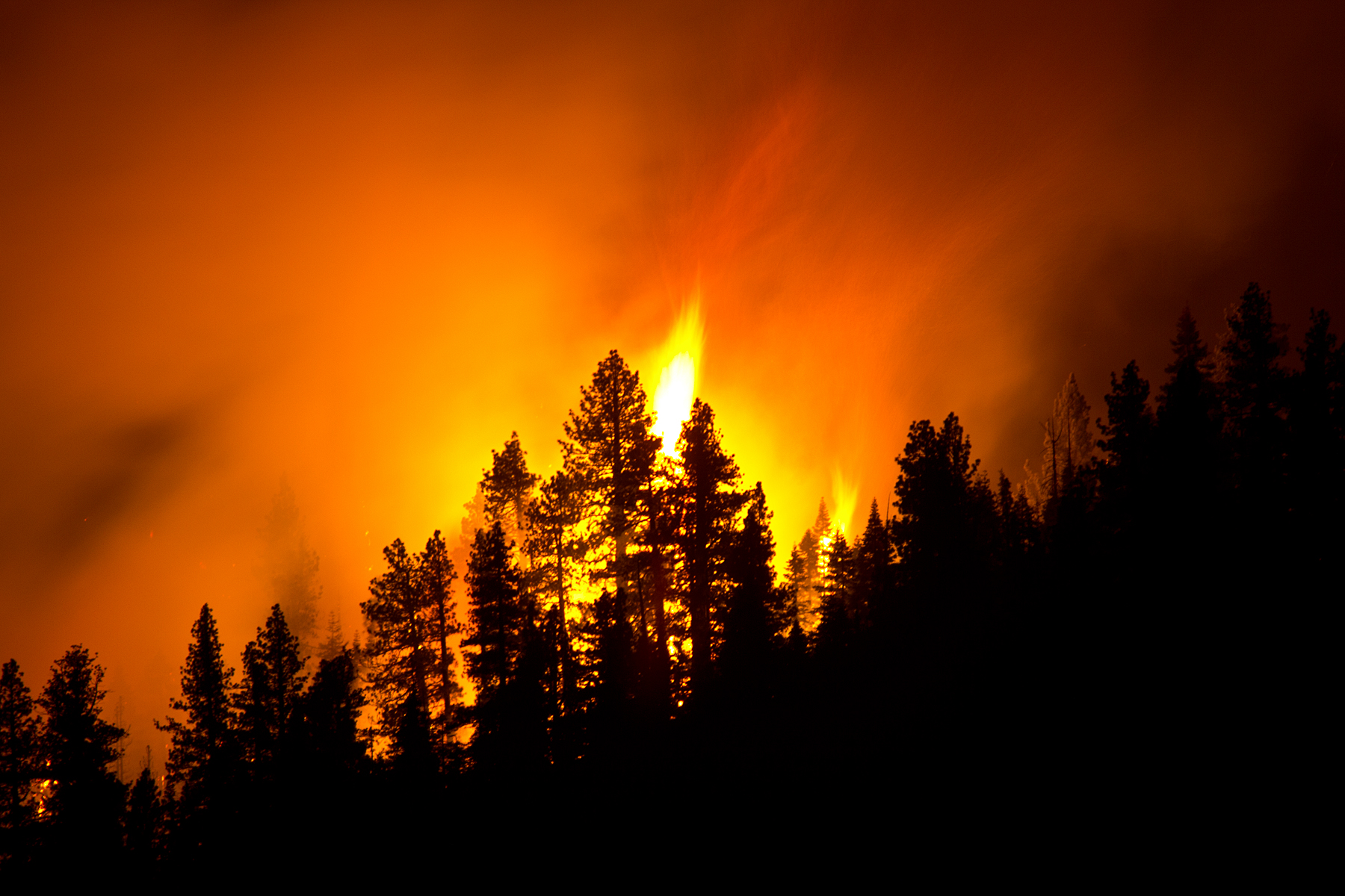
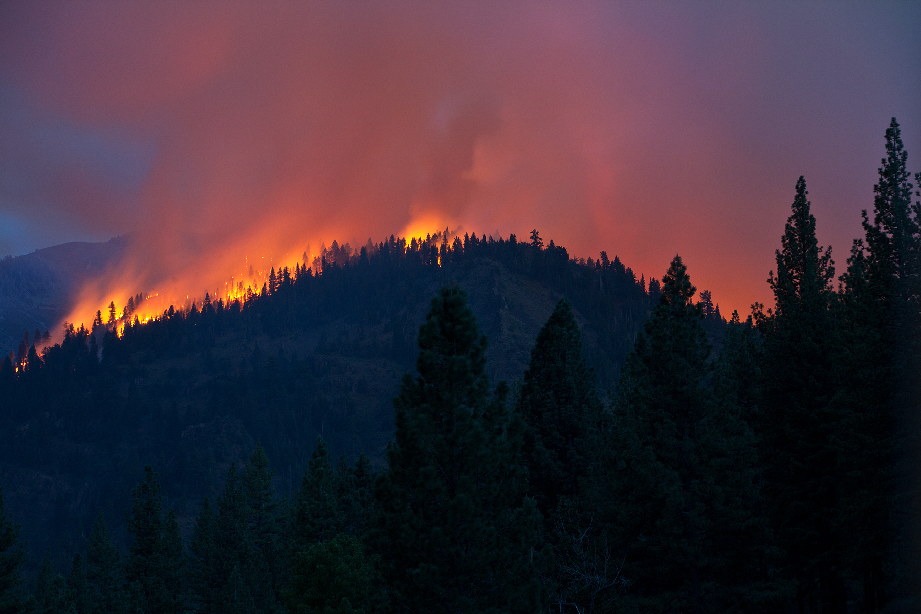
Washington Fire
Twin Lake, Alpine County, California

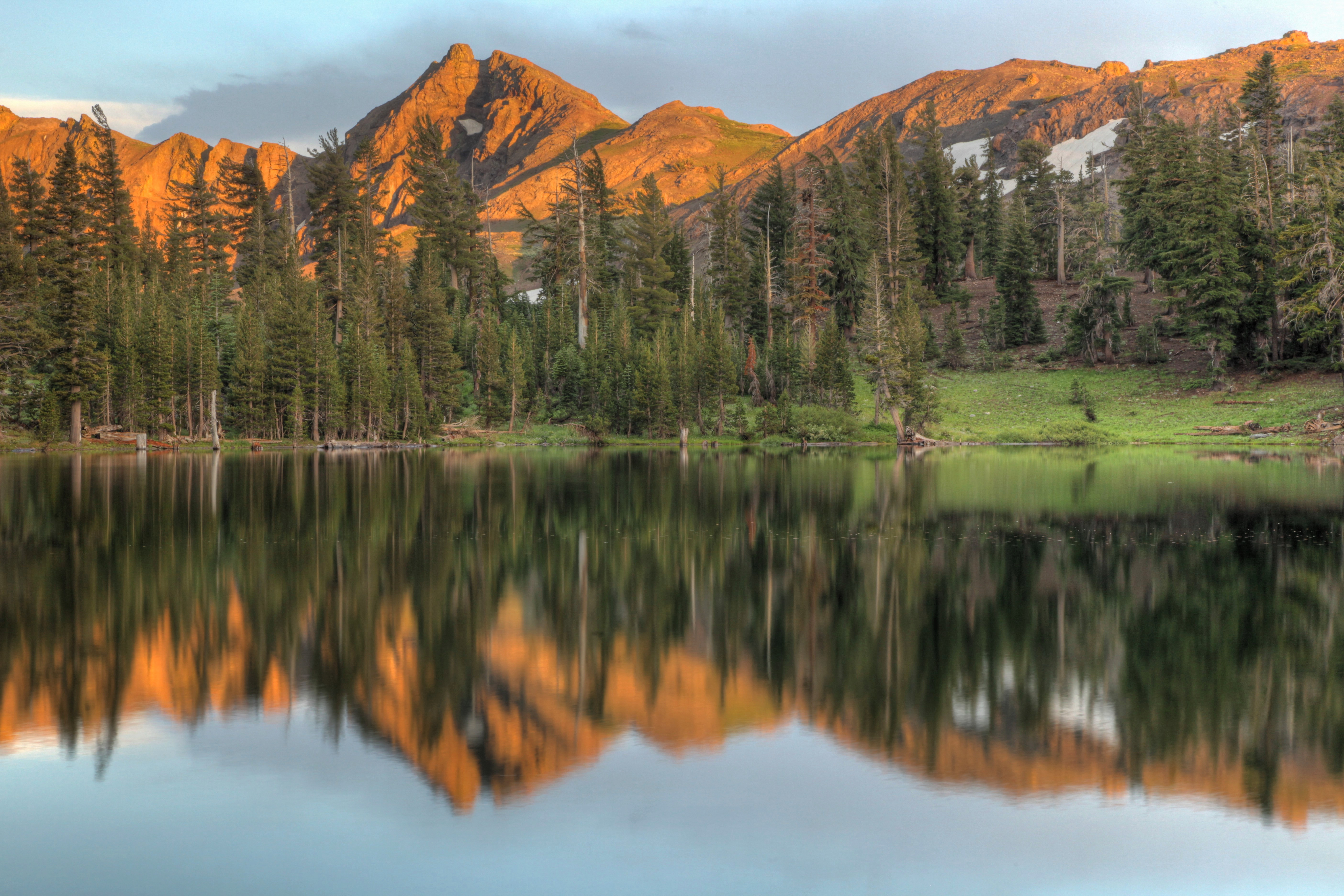
Peaks East of Bull Run Lake
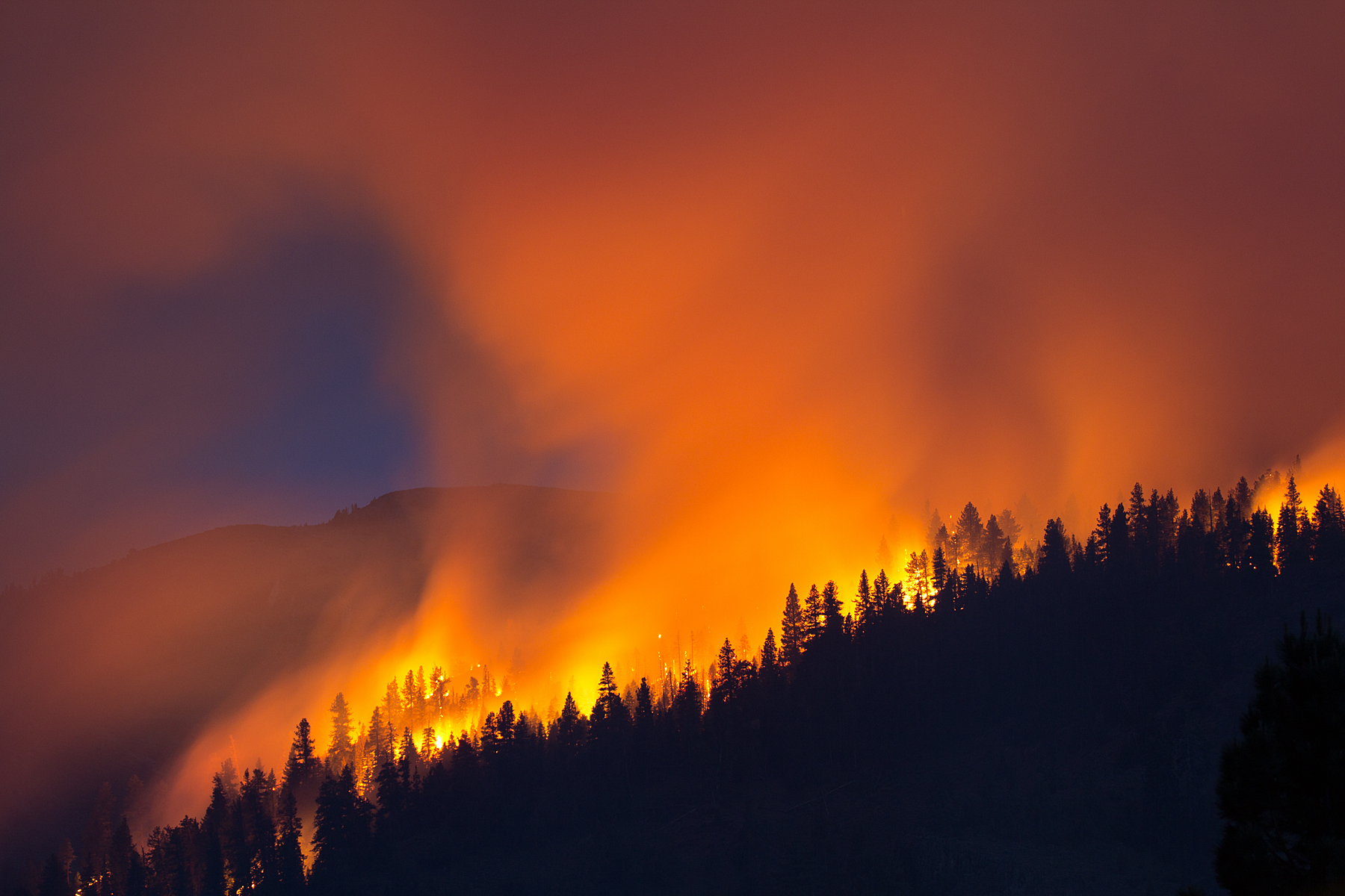
Washington Fire

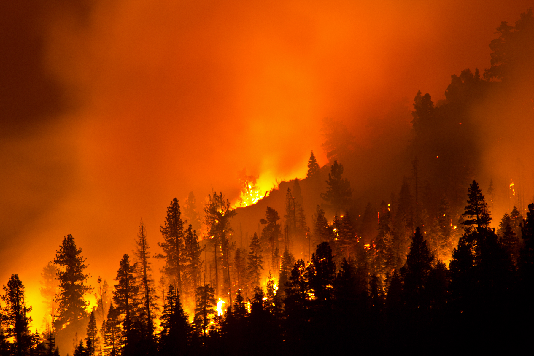
Washington Fire
Washington Fire
Washington Fire

Washington Fire
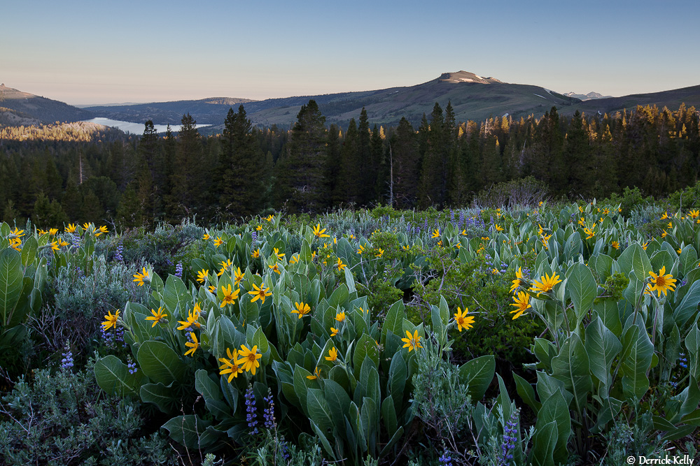
Alpine Spring
Mapa de Raymond Peak, California, EE. UU.
Buscar otro lugar
Lugares cercanos
Reynolds Peak, California, EE. UU.
Thornburg Peak, Markleeville, CA, EE. UU.
Condado de Alpine, California, EE. UU.
Ebbetts Pass, California, EE. UU.
Markleeville Peak, California, EE. UU.
Shay Creek Rd, Markleeville, CA, EE. UU.
66 Pleasant Valley Rd, Markleeville, CA, EE. UU.
Alpine State Hwy, Arnold, CA, EE. UU.
Highland Peak, California, EE. UU.
Markleeville, California, EE. UU.
The Nipple, California, EE. UU.
Peep Sight Peak, California, EE. UU.
Folger Peak, California, EE. UU.
Hawkins Peak, California, EE. UU.
Bull Run Peak, California, EE. UU.
Airola Peak, California, EE. UU.
Arnot Peak, California, EE. UU.
Iceberg Peak, California, EE. UU.
Deadwood Peak, California, EE. UU.
Crystal Springs Road, Crystal Springs Rd, California, EE. UU.
Búsquedas recientes
- Horas de salida y puesta de sol de Red Dog Mine, AK, USA
- Horas de salida y puesta de sol de Am Bahnhof, Am bhf, Borken, Germany
- Horas de salida y puesta de sol de 4th St E, Sonoma, CA, EE. UU.
- Horas de salida y puesta de sol de Oakland Ave, Williamsport, PA, EE. UU.
- Horas de salida y puesta de sol de Via Roma, Pieranica CR, Italia
- Horas de salida y puesta de sol de Torre del reloj, Grad, Dubrovnik (Ragusa), Croacia
- Horas de salida y puesta de sol de Trelew, Chubut, Argentina
- Horas de salida y puesta de sol de Hartfords Bluff Cir, Mt Pleasant, SC, EE. UU.
- Horas de salida y puesta de sol de Kita Ward, Kumamoto, Japón
- Horas de salida y puesta de sol de Pingtan Island, Pingtan County, Fuzhou, China