Horas de salida y puesta de sol de Ray Davis Rd, Lansing, NC, EE. UU.
Location: Estados Unidos > Carolina del Norte > Condado de Ashe > Helton >
Zona horaria:
America/New_York
Hora local:
2025-06-28 11:26:59
Longitud:
-81.4790699
Latitud:
36.5444389
Salida de sol de hoy:
06:10:19 AM
Puesta de sol de hoy:
08:48:23 PM
La duración del día hoy:
14h 38m 4s
Salida de sol de mañana:
06:10:43 AM
Puesta de sol de mañana:
08:48:22 PM
La duración del día mañana:
14h 37m 39s
Mostrar todas las fechas
| Fecha | Salida de sol | Puesta de sol | Duración del día |
|---|---|---|---|
| 01/01/2025 | 07:38:03 AM | 05:22:01 PM | 9h 43m 58s |
| 02/01/2025 | 07:38:10 AM | 05:22:49 PM | 9h 44m 39s |
| 03/01/2025 | 07:38:14 AM | 05:23:39 PM | 9h 45m 25s |
| 04/01/2025 | 07:38:17 AM | 05:24:30 PM | 9h 46m 13s |
| 05/01/2025 | 07:38:17 AM | 05:25:23 PM | 9h 47m 6s |
| 06/01/2025 | 07:38:16 AM | 05:26:16 PM | 9h 48m 0s |
| 07/01/2025 | 07:38:12 AM | 05:27:10 PM | 9h 48m 58s |
| 08/01/2025 | 07:38:07 AM | 05:28:05 PM | 9h 49m 58s |
| 09/01/2025 | 07:37:59 AM | 05:29:01 PM | 9h 51m 2s |
| 10/01/2025 | 07:37:50 AM | 05:29:58 PM | 9h 52m 8s |
| 11/01/2025 | 07:37:38 AM | 05:30:56 PM | 9h 53m 18s |
| 12/01/2025 | 07:37:25 AM | 05:31:54 PM | 9h 54m 29s |
| 13/01/2025 | 07:37:10 AM | 05:32:54 PM | 9h 55m 44s |
| 14/01/2025 | 07:36:52 AM | 05:33:53 PM | 9h 57m 1s |
| 15/01/2025 | 07:36:33 AM | 05:34:54 PM | 9h 58m 21s |
| 16/01/2025 | 07:36:12 AM | 05:35:55 PM | 9h 59m 43s |
| 17/01/2025 | 07:35:48 AM | 05:36:56 PM | 10h 1m 8s |
| 18/01/2025 | 07:35:23 AM | 05:37:58 PM | 10h 2m 35s |
| 19/01/2025 | 07:34:56 AM | 05:39:01 PM | 10h 4m 5s |
| 20/01/2025 | 07:34:27 AM | 05:40:03 PM | 10h 5m 36s |
| 21/01/2025 | 07:33:57 AM | 05:41:06 PM | 10h 7m 9s |
| 22/01/2025 | 07:33:24 AM | 05:42:10 PM | 10h 8m 46s |
| 23/01/2025 | 07:32:50 AM | 05:43:13 PM | 10h 10m 23s |
| 24/01/2025 | 07:32:13 AM | 05:44:17 PM | 10h 12m 4s |
| 25/01/2025 | 07:31:35 AM | 05:45:21 PM | 10h 13m 46s |
| 26/01/2025 | 07:30:56 AM | 05:46:25 PM | 10h 15m 29s |
| 27/01/2025 | 07:30:14 AM | 05:47:29 PM | 10h 17m 15s |
| 28/01/2025 | 07:29:31 AM | 05:48:34 PM | 10h 19m 3s |
| 29/01/2025 | 07:28:46 AM | 05:49:38 PM | 10h 20m 52s |
| 30/01/2025 | 07:28:00 AM | 05:50:42 PM | 10h 22m 42s |
| 31/01/2025 | 07:27:12 AM | 05:51:47 PM | 10h 24m 35s |
| 01/02/2025 | 07:26:22 AM | 05:52:51 PM | 10h 26m 29s |
| 02/02/2025 | 07:25:31 AM | 05:53:55 PM | 10h 28m 24s |
| 03/02/2025 | 07:24:38 AM | 05:54:59 PM | 10h 30m 21s |
| 04/02/2025 | 07:23:44 AM | 05:56:03 PM | 10h 32m 19s |
| 05/02/2025 | 07:22:48 AM | 05:57:07 PM | 10h 34m 19s |
| 06/02/2025 | 07:21:51 AM | 05:58:11 PM | 10h 36m 20s |
| 07/02/2025 | 07:20:53 AM | 05:59:14 PM | 10h 38m 21s |
| 08/02/2025 | 07:19:53 AM | 06:00:17 PM | 10h 40m 24s |
| 09/02/2025 | 07:18:52 AM | 06:01:20 PM | 10h 42m 28s |
| 10/02/2025 | 07:17:49 AM | 06:02:23 PM | 10h 44m 34s |
| 11/02/2025 | 07:16:46 AM | 06:03:26 PM | 10h 46m 40s |
| 12/02/2025 | 07:15:41 AM | 06:04:28 PM | 10h 48m 47s |
| 13/02/2025 | 07:14:34 AM | 06:05:30 PM | 10h 50m 56s |
| 14/02/2025 | 07:13:27 AM | 06:06:32 PM | 10h 53m 5s |
| 15/02/2025 | 07:12:19 AM | 06:07:33 PM | 10h 55m 14s |
| 16/02/2025 | 07:11:09 AM | 06:08:34 PM | 10h 57m 25s |
| 17/02/2025 | 07:09:58 AM | 06:09:35 PM | 10h 59m 37s |
| 18/02/2025 | 07:08:47 AM | 06:10:35 PM | 11h 1m 48s |
| 19/02/2025 | 07:07:34 AM | 06:11:35 PM | 11h 4m 1s |
| 20/02/2025 | 07:06:20 AM | 06:12:35 PM | 11h 6m 15s |
| 21/02/2025 | 07:05:06 AM | 06:13:35 PM | 11h 8m 29s |
| 22/02/2025 | 07:03:50 AM | 06:14:34 PM | 11h 10m 44s |
| 23/02/2025 | 07:02:34 AM | 06:15:33 PM | 11h 12m 59s |
| 24/02/2025 | 07:01:16 AM | 06:16:31 PM | 11h 15m 15s |
| 25/02/2025 | 06:59:58 AM | 06:17:29 PM | 11h 17m 31s |
| 26/02/2025 | 06:58:40 AM | 06:18:27 PM | 11h 19m 47s |
| 27/02/2025 | 06:57:20 AM | 06:19:25 PM | 11h 22m 5s |
| 28/02/2025 | 06:56:00 AM | 06:20:22 PM | 11h 24m 22s |
| 01/03/2025 | 06:54:39 AM | 06:21:19 PM | 11h 26m 40s |
| 02/03/2025 | 06:53:17 AM | 06:22:16 PM | 11h 28m 59s |
| 03/03/2025 | 06:51:55 AM | 06:23:12 PM | 11h 31m 17s |
| 04/03/2025 | 06:50:32 AM | 06:24:08 PM | 11h 33m 36s |
| 05/03/2025 | 06:49:08 AM | 06:25:04 PM | 11h 35m 56s |
| 06/03/2025 | 06:47:45 AM | 06:25:59 PM | 11h 38m 14s |
| 07/03/2025 | 06:46:20 AM | 06:26:54 PM | 11h 40m 34s |
| 08/03/2025 | 06:44:55 AM | 06:27:49 PM | 11h 42m 54s |
| 09/03/2025 | 07:43:33 AM | 07:28:41 PM | 11h 45m 8s |
| 10/03/2025 | 07:42:08 AM | 07:29:36 PM | 11h 47m 28s |
| 11/03/2025 | 07:40:42 AM | 07:30:30 PM | 11h 49m 48s |
| 12/03/2025 | 07:39:15 AM | 07:31:24 PM | 11h 52m 9s |
| 13/03/2025 | 07:37:48 AM | 07:32:18 PM | 11h 54m 30s |
| 14/03/2025 | 07:36:21 AM | 07:33:11 PM | 11h 56m 50s |
| 15/03/2025 | 07:34:54 AM | 07:34:04 PM | 11h 59m 10s |
| 16/03/2025 | 07:33:27 AM | 07:34:57 PM | 12h 1m 30s |
| 17/03/2025 | 07:31:59 AM | 07:35:50 PM | 12h 3m 51s |
| 18/03/2025 | 07:30:31 AM | 07:36:43 PM | 12h 6m 12s |
| 19/03/2025 | 07:29:03 AM | 07:37:36 PM | 12h 8m 33s |
| 20/03/2025 | 07:27:35 AM | 07:38:28 PM | 12h 10m 53s |
| 21/03/2025 | 07:26:07 AM | 07:39:21 PM | 12h 13m 14s |
| 22/03/2025 | 07:24:39 AM | 07:40:13 PM | 12h 15m 34s |
| 23/03/2025 | 07:23:11 AM | 07:41:05 PM | 12h 17m 54s |
| 24/03/2025 | 07:21:42 AM | 07:41:57 PM | 12h 20m 15s |
| 25/03/2025 | 07:20:14 AM | 07:42:49 PM | 12h 22m 35s |
| 26/03/2025 | 07:18:46 AM | 07:43:41 PM | 12h 24m 55s |
| 27/03/2025 | 07:17:18 AM | 07:44:32 PM | 12h 27m 14s |
| 28/03/2025 | 07:15:50 AM | 07:45:24 PM | 12h 29m 34s |
| 29/03/2025 | 07:14:23 AM | 07:46:16 PM | 12h 31m 53s |
| 30/03/2025 | 07:12:55 AM | 07:47:07 PM | 12h 34m 12s |
| 31/03/2025 | 07:11:28 AM | 07:47:59 PM | 12h 36m 31s |
| 01/04/2025 | 07:10:01 AM | 07:48:51 PM | 12h 38m 50s |
| 02/04/2025 | 07:08:34 AM | 07:49:42 PM | 12h 41m 8s |
| 03/04/2025 | 07:07:08 AM | 07:50:34 PM | 12h 43m 26s |
| 04/04/2025 | 07:05:42 AM | 07:51:25 PM | 12h 45m 43s |
| 05/04/2025 | 07:04:16 AM | 07:52:17 PM | 12h 48m 1s |
| 06/04/2025 | 07:02:51 AM | 07:53:08 PM | 12h 50m 17s |
| 07/04/2025 | 07:01:26 AM | 07:54:00 PM | 12h 52m 34s |
| 08/04/2025 | 07:00:02 AM | 07:54:52 PM | 12h 54m 50s |
| 09/04/2025 | 06:58:38 AM | 07:55:43 PM | 12h 57m 5s |
| 10/04/2025 | 06:57:14 AM | 07:56:35 PM | 12h 59m 21s |
| 11/04/2025 | 06:55:52 AM | 07:57:27 PM | 13h 1m 35s |
| 12/04/2025 | 06:54:29 AM | 07:58:19 PM | 13h 3m 50s |
| 13/04/2025 | 06:53:08 AM | 07:59:11 PM | 13h 6m 3s |
| 14/04/2025 | 06:51:47 AM | 08:00:03 PM | 13h 8m 16s |
| 15/04/2025 | 06:50:26 AM | 08:00:54 PM | 13h 10m 28s |
| 16/04/2025 | 06:49:07 AM | 08:01:46 PM | 13h 12m 39s |
| 17/04/2025 | 06:47:48 AM | 08:02:39 PM | 13h 14m 51s |
| 18/04/2025 | 06:46:30 AM | 08:03:31 PM | 13h 17m 1s |
| 19/04/2025 | 06:45:12 AM | 08:04:23 PM | 13h 19m 11s |
| 20/04/2025 | 06:43:56 AM | 08:05:15 PM | 13h 21m 19s |
| 21/04/2025 | 06:42:40 AM | 08:06:07 PM | 13h 23m 27s |
| 22/04/2025 | 06:41:25 AM | 08:07:00 PM | 13h 25m 35s |
| 23/04/2025 | 06:40:11 AM | 08:07:52 PM | 13h 27m 41s |
| 24/04/2025 | 06:38:58 AM | 08:08:44 PM | 13h 29m 46s |
| 25/04/2025 | 06:37:46 AM | 08:09:37 PM | 13h 31m 51s |
| 26/04/2025 | 06:36:35 AM | 08:10:29 PM | 13h 33m 54s |
| 27/04/2025 | 06:35:25 AM | 08:11:21 PM | 13h 35m 56s |
| 28/04/2025 | 06:34:16 AM | 08:12:14 PM | 13h 37m 58s |
| 29/04/2025 | 06:33:08 AM | 08:13:06 PM | 13h 39m 58s |
| 30/04/2025 | 06:32:01 AM | 08:13:58 PM | 13h 41m 57s |
| 01/05/2025 | 06:30:56 AM | 08:14:50 PM | 13h 43m 54s |
| 02/05/2025 | 06:29:51 AM | 08:15:43 PM | 13h 45m 52s |
| 03/05/2025 | 06:28:48 AM | 08:16:35 PM | 13h 47m 47s |
| 04/05/2025 | 06:27:46 AM | 08:17:27 PM | 13h 49m 41s |
| 05/05/2025 | 06:26:45 AM | 08:18:18 PM | 13h 51m 33s |
| 06/05/2025 | 06:25:45 AM | 08:19:10 PM | 13h 53m 25s |
| 07/05/2025 | 06:24:47 AM | 08:20:02 PM | 13h 55m 15s |
| 08/05/2025 | 06:23:50 AM | 08:20:53 PM | 13h 57m 3s |
| 09/05/2025 | 06:22:54 AM | 08:21:44 PM | 13h 58m 50s |
| 10/05/2025 | 06:22:00 AM | 08:22:35 PM | 14h 0m 35s |
| 11/05/2025 | 06:21:07 AM | 08:23:26 PM | 14h 2m 19s |
| 12/05/2025 | 06:20:15 AM | 08:24:16 PM | 14h 4m 1s |
| 13/05/2025 | 06:19:25 AM | 08:25:06 PM | 14h 5m 41s |
| 14/05/2025 | 06:18:37 AM | 08:25:56 PM | 14h 7m 19s |
| 15/05/2025 | 06:17:50 AM | 08:26:46 PM | 14h 8m 56s |
| 16/05/2025 | 06:17:04 AM | 08:27:35 PM | 14h 10m 31s |
| 17/05/2025 | 06:16:20 AM | 08:28:23 PM | 14h 12m 3s |
| 18/05/2025 | 06:15:38 AM | 08:29:11 PM | 14h 13m 33s |
| 19/05/2025 | 06:14:57 AM | 08:29:59 PM | 14h 15m 2s |
| 20/05/2025 | 06:14:18 AM | 08:30:46 PM | 14h 16m 28s |
| 21/05/2025 | 06:13:40 AM | 08:31:33 PM | 14h 17m 53s |
| 22/05/2025 | 06:13:04 AM | 08:32:19 PM | 14h 19m 15s |
| 23/05/2025 | 06:12:29 AM | 08:33:04 PM | 14h 20m 35s |
| 24/05/2025 | 06:11:57 AM | 08:33:49 PM | 14h 21m 52s |
| 25/05/2025 | 06:11:25 AM | 08:34:33 PM | 14h 23m 8s |
| 26/05/2025 | 06:10:56 AM | 08:35:16 PM | 14h 24m 20s |
| 27/05/2025 | 06:10:28 AM | 08:35:59 PM | 14h 25m 31s |
| 28/05/2025 | 06:10:02 AM | 08:36:41 PM | 14h 26m 39s |
| 29/05/2025 | 06:09:38 AM | 08:37:22 PM | 14h 27m 44s |
| 30/05/2025 | 06:09:15 AM | 08:38:02 PM | 14h 28m 47s |
| 31/05/2025 | 06:08:54 AM | 08:38:41 PM | 14h 29m 47s |
| 01/06/2025 | 06:08:35 AM | 08:39:19 PM | 14h 30m 44s |
| 02/06/2025 | 06:08:18 AM | 08:39:56 PM | 14h 31m 38s |
| 03/06/2025 | 06:08:02 AM | 08:40:32 PM | 14h 32m 30s |
| 04/06/2025 | 06:07:48 AM | 08:41:07 PM | 14h 33m 19s |
| 05/06/2025 | 06:07:36 AM | 08:41:41 PM | 14h 34m 5s |
| 06/06/2025 | 06:07:26 AM | 08:42:14 PM | 14h 34m 48s |
| 07/06/2025 | 06:07:17 AM | 08:42:46 PM | 14h 35m 29s |
| 08/06/2025 | 06:07:10 AM | 08:43:16 PM | 14h 36m 6s |
| 09/06/2025 | 06:07:05 AM | 08:43:46 PM | 14h 36m 41s |
| 10/06/2025 | 06:07:01 AM | 08:44:13 PM | 14h 37m 12s |
| 11/06/2025 | 06:06:59 AM | 08:44:40 PM | 14h 37m 41s |
| 12/06/2025 | 06:06:59 AM | 08:45:05 PM | 14h 38m 6s |
| 13/06/2025 | 06:07:00 AM | 08:45:29 PM | 14h 38m 29s |
| 14/06/2025 | 06:07:04 AM | 08:45:52 PM | 14h 38m 48s |
| 15/06/2025 | 06:07:08 AM | 08:46:13 PM | 14h 39m 5s |
| 16/06/2025 | 06:07:15 AM | 08:46:32 PM | 14h 39m 17s |
| 17/06/2025 | 06:07:23 AM | 08:46:50 PM | 14h 39m 27s |
| 18/06/2025 | 06:07:32 AM | 08:47:07 PM | 14h 39m 35s |
| 19/06/2025 | 06:07:44 AM | 08:47:22 PM | 14h 39m 38s |
| 20/06/2025 | 06:07:56 AM | 08:47:35 PM | 14h 39m 39s |
| 21/06/2025 | 06:08:11 AM | 08:47:47 PM | 14h 39m 36s |
| 22/06/2025 | 06:08:26 AM | 08:47:57 PM | 14h 39m 31s |
| 23/06/2025 | 06:08:44 AM | 08:48:06 PM | 14h 39m 22s |
| 24/06/2025 | 06:09:02 AM | 08:48:13 PM | 14h 39m 11s |
| 25/06/2025 | 06:09:22 AM | 08:48:18 PM | 14h 38m 56s |
| 26/06/2025 | 06:09:44 AM | 08:48:21 PM | 14h 38m 37s |
| 27/06/2025 | 06:10:07 AM | 08:48:23 PM | 14h 38m 16s |
| 28/06/2025 | 06:10:31 AM | 08:48:23 PM | 14h 37m 52s |
| 29/06/2025 | 06:10:56 AM | 08:48:21 PM | 14h 37m 25s |
| 30/06/2025 | 06:11:23 AM | 08:48:18 PM | 14h 36m 55s |
| 01/07/2025 | 06:11:51 AM | 08:48:13 PM | 14h 36m 22s |
| 02/07/2025 | 06:12:20 AM | 08:48:06 PM | 14h 35m 46s |
| 03/07/2025 | 06:12:50 AM | 08:47:57 PM | 14h 35m 7s |
| 04/07/2025 | 06:13:22 AM | 08:47:46 PM | 14h 34m 24s |
| 05/07/2025 | 06:13:54 AM | 08:47:34 PM | 14h 33m 40s |
| 06/07/2025 | 06:14:28 AM | 08:47:20 PM | 14h 32m 52s |
| 07/07/2025 | 06:15:02 AM | 08:47:04 PM | 14h 32m 2s |
| 08/07/2025 | 06:15:38 AM | 08:46:47 PM | 14h 31m 9s |
| 09/07/2025 | 06:16:14 AM | 08:46:27 PM | 14h 30m 13s |
| 10/07/2025 | 06:16:51 AM | 08:46:06 PM | 14h 29m 15s |
| 11/07/2025 | 06:17:30 AM | 08:45:43 PM | 14h 28m 13s |
| 12/07/2025 | 06:18:09 AM | 08:45:18 PM | 14h 27m 9s |
| 13/07/2025 | 06:18:48 AM | 08:44:52 PM | 14h 26m 4s |
| 14/07/2025 | 06:19:29 AM | 08:44:24 PM | 14h 24m 55s |
| 15/07/2025 | 06:20:10 AM | 08:43:54 PM | 14h 23m 44s |
| 16/07/2025 | 06:20:52 AM | 08:43:22 PM | 14h 22m 30s |
| 17/07/2025 | 06:21:34 AM | 08:42:49 PM | 14h 21m 15s |
| 18/07/2025 | 06:22:18 AM | 08:42:14 PM | 14h 19m 56s |
| 19/07/2025 | 06:23:01 AM | 08:41:37 PM | 14h 18m 36s |
| 20/07/2025 | 06:23:45 AM | 08:40:59 PM | 14h 17m 14s |
| 21/07/2025 | 06:24:30 AM | 08:40:19 PM | 14h 15m 49s |
| 22/07/2025 | 06:25:15 AM | 08:39:37 PM | 14h 14m 22s |
| 23/07/2025 | 06:26:01 AM | 08:38:54 PM | 14h 12m 53s |
| 24/07/2025 | 06:26:47 AM | 08:38:09 PM | 14h 11m 22s |
| 25/07/2025 | 06:27:33 AM | 08:37:23 PM | 14h 9m 50s |
| 26/07/2025 | 06:28:20 AM | 08:36:35 PM | 14h 8m 15s |
| 27/07/2025 | 06:29:07 AM | 08:35:46 PM | 14h 6m 39s |
| 28/07/2025 | 06:29:54 AM | 08:34:55 PM | 14h 5m 1s |
| 29/07/2025 | 06:30:42 AM | 08:34:03 PM | 14h 3m 21s |
| 30/07/2025 | 06:31:30 AM | 08:33:09 PM | 14h 1m 39s |
| 31/07/2025 | 06:32:18 AM | 08:32:14 PM | 13h 59m 56s |
| 01/08/2025 | 06:33:06 AM | 08:31:17 PM | 13h 58m 11s |
| 02/08/2025 | 06:33:54 AM | 08:30:19 PM | 13h 56m 25s |
| 03/08/2025 | 06:34:43 AM | 08:29:20 PM | 13h 54m 37s |
| 04/08/2025 | 06:35:31 AM | 08:28:19 PM | 13h 52m 48s |
| 05/08/2025 | 06:36:20 AM | 08:27:17 PM | 13h 50m 57s |
| 06/08/2025 | 06:37:08 AM | 08:26:14 PM | 13h 49m 6s |
| 07/08/2025 | 06:37:57 AM | 08:25:10 PM | 13h 47m 13s |
| 08/08/2025 | 06:38:46 AM | 08:24:04 PM | 13h 45m 18s |
| 09/08/2025 | 06:39:35 AM | 08:22:57 PM | 13h 43m 22s |
| 10/08/2025 | 06:40:24 AM | 08:21:49 PM | 13h 41m 25s |
| 11/08/2025 | 06:41:13 AM | 08:20:40 PM | 13h 39m 27s |
| 12/08/2025 | 06:42:02 AM | 08:19:30 PM | 13h 37m 28s |
| 13/08/2025 | 06:42:51 AM | 08:18:18 PM | 13h 35m 27s |
| 14/08/2025 | 06:43:39 AM | 08:17:06 PM | 13h 33m 27s |
| 15/08/2025 | 06:44:28 AM | 08:15:53 PM | 13h 31m 25s |
| 16/08/2025 | 06:45:17 AM | 08:14:39 PM | 13h 29m 22s |
| 17/08/2025 | 06:46:05 AM | 08:13:23 PM | 13h 27m 18s |
| 18/08/2025 | 06:46:54 AM | 08:12:07 PM | 13h 25m 13s |
| 19/08/2025 | 06:47:43 AM | 08:10:50 PM | 13h 23m 7s |
| 20/08/2025 | 06:48:31 AM | 08:09:32 PM | 13h 21m 1s |
| 21/08/2025 | 06:49:19 AM | 08:08:13 PM | 13h 18m 54s |
| 22/08/2025 | 06:50:08 AM | 08:06:54 PM | 13h 16m 46s |
| 23/08/2025 | 06:50:56 AM | 08:05:33 PM | 13h 14m 37s |
| 24/08/2025 | 06:51:44 AM | 08:04:12 PM | 13h 12m 28s |
| 25/08/2025 | 06:52:32 AM | 08:02:50 PM | 13h 10m 18s |
| 26/08/2025 | 06:53:20 AM | 08:01:28 PM | 13h 8m 8s |
| 27/08/2025 | 06:54:08 AM | 08:00:04 PM | 13h 5m 56s |
| 28/08/2025 | 06:54:56 AM | 07:58:41 PM | 13h 3m 45s |
| 29/08/2025 | 06:55:43 AM | 07:57:16 PM | 13h 1m 33s |
| 30/08/2025 | 06:56:31 AM | 07:55:51 PM | 12h 59m 20s |
| 31/08/2025 | 06:57:19 AM | 07:54:26 PM | 12h 57m 7s |
| 01/09/2025 | 06:58:06 AM | 07:53:00 PM | 12h 54m 54s |
| 02/09/2025 | 06:58:54 AM | 07:51:33 PM | 12h 52m 39s |
| 03/09/2025 | 06:59:41 AM | 07:50:06 PM | 12h 50m 25s |
| 04/09/2025 | 07:00:28 AM | 07:48:38 PM | 12h 48m 10s |
| 05/09/2025 | 07:01:16 AM | 07:47:11 PM | 12h 45m 55s |
| 06/09/2025 | 07:02:03 AM | 07:45:42 PM | 12h 43m 39s |
| 07/09/2025 | 07:02:50 AM | 07:44:14 PM | 12h 41m 24s |
| 08/09/2025 | 07:03:38 AM | 07:42:45 PM | 12h 39m 7s |
| 09/09/2025 | 07:04:25 AM | 07:41:16 PM | 12h 36m 51s |
| 10/09/2025 | 07:05:12 AM | 07:39:46 PM | 12h 34m 34s |
| 11/09/2025 | 07:05:59 AM | 07:38:16 PM | 12h 32m 17s |
| 12/09/2025 | 07:06:47 AM | 07:36:47 PM | 12h 30m 0s |
| 13/09/2025 | 07:07:34 AM | 07:35:17 PM | 12h 27m 43s |
| 14/09/2025 | 07:08:21 AM | 07:33:46 PM | 12h 25m 25s |
| 15/09/2025 | 07:09:09 AM | 07:32:16 PM | 12h 23m 7s |
| 16/09/2025 | 07:09:56 AM | 07:30:46 PM | 12h 20m 50s |
| 17/09/2025 | 07:10:44 AM | 07:29:15 PM | 12h 18m 31s |
| 18/09/2025 | 07:11:31 AM | 07:27:45 PM | 12h 16m 14s |
| 19/09/2025 | 07:12:19 AM | 07:26:14 PM | 12h 13m 55s |
| 20/09/2025 | 07:13:07 AM | 07:24:44 PM | 12h 11m 37s |
| 21/09/2025 | 07:13:55 AM | 07:23:13 PM | 12h 9m 18s |
| 22/09/2025 | 07:14:43 AM | 07:21:43 PM | 12h 7m 0s |
| 23/09/2025 | 07:15:31 AM | 07:20:13 PM | 12h 4m 42s |
| 24/09/2025 | 07:16:20 AM | 07:18:43 PM | 12h 2m 23s |
| 25/09/2025 | 07:17:08 AM | 07:17:13 PM | 12h 0m 5s |
| 26/09/2025 | 07:17:57 AM | 07:15:43 PM | 11h 57m 46s |
| 27/09/2025 | 07:18:46 AM | 07:14:14 PM | 11h 55m 28s |
| 28/09/2025 | 07:19:35 AM | 07:12:45 PM | 11h 53m 10s |
| 29/09/2025 | 07:20:25 AM | 07:11:16 PM | 11h 50m 51s |
| 30/09/2025 | 07:21:15 AM | 07:09:47 PM | 11h 48m 32s |
| 01/10/2025 | 07:22:04 AM | 07:08:19 PM | 11h 46m 15s |
| 02/10/2025 | 07:22:55 AM | 07:06:51 PM | 11h 43m 56s |
| 03/10/2025 | 07:23:45 AM | 07:05:24 PM | 11h 41m 39s |
| 04/10/2025 | 07:24:36 AM | 07:03:57 PM | 11h 39m 21s |
| 05/10/2025 | 07:25:26 AM | 07:02:31 PM | 11h 37m 5s |
| 06/10/2025 | 07:26:18 AM | 07:01:05 PM | 11h 34m 47s |
| 07/10/2025 | 07:27:09 AM | 06:59:39 PM | 11h 32m 30s |
| 08/10/2025 | 07:28:01 AM | 06:58:14 PM | 11h 30m 13s |
| 09/10/2025 | 07:28:53 AM | 06:56:50 PM | 11h 27m 57s |
| 10/10/2025 | 07:29:46 AM | 06:55:27 PM | 11h 25m 41s |
| 11/10/2025 | 07:30:38 AM | 06:54:04 PM | 11h 23m 26s |
| 12/10/2025 | 07:31:32 AM | 06:52:41 PM | 11h 21m 9s |
| 13/10/2025 | 07:32:25 AM | 06:51:20 PM | 11h 18m 55s |
| 14/10/2025 | 07:33:19 AM | 06:49:59 PM | 11h 16m 40s |
| 15/10/2025 | 07:34:13 AM | 06:48:39 PM | 11h 14m 26s |
| 16/10/2025 | 07:35:07 AM | 06:47:20 PM | 11h 12m 13s |
| 17/10/2025 | 07:36:02 AM | 06:46:02 PM | 11h 10m 0s |
| 18/10/2025 | 07:36:57 AM | 06:44:44 PM | 11h 7m 47s |
| 19/10/2025 | 07:37:53 AM | 06:43:28 PM | 11h 5m 35s |
| 20/10/2025 | 07:38:49 AM | 06:42:12 PM | 11h 3m 23s |
| 21/10/2025 | 07:39:45 AM | 06:40:57 PM | 11h 1m 12s |
| 22/10/2025 | 07:40:42 AM | 06:39:44 PM | 10h 59m 2s |
| 23/10/2025 | 07:41:39 AM | 06:38:31 PM | 10h 56m 52s |
| 24/10/2025 | 07:42:36 AM | 06:37:20 PM | 10h 54m 44s |
| 25/10/2025 | 07:43:34 AM | 06:36:09 PM | 10h 52m 35s |
| 26/10/2025 | 07:44:32 AM | 06:35:00 PM | 10h 50m 28s |
| 27/10/2025 | 07:45:30 AM | 06:33:52 PM | 10h 48m 22s |
| 28/10/2025 | 07:46:29 AM | 06:32:45 PM | 10h 46m 16s |
| 29/10/2025 | 07:47:27 AM | 06:31:39 PM | 10h 44m 12s |
| 30/10/2025 | 07:48:27 AM | 06:30:35 PM | 10h 42m 8s |
| 31/10/2025 | 07:49:26 AM | 06:29:32 PM | 10h 40m 6s |
| 01/11/2025 | 07:50:26 AM | 06:28:30 PM | 10h 38m 4s |
| 02/11/2025 | 06:51:28 AM | 05:27:28 PM | 10h 36m 0s |
| 03/11/2025 | 06:52:29 AM | 05:26:29 PM | 10h 34m 0s |
| 04/11/2025 | 06:53:29 AM | 05:25:31 PM | 10h 32m 2s |
| 05/11/2025 | 06:54:30 AM | 05:24:35 PM | 10h 30m 5s |
| 06/11/2025 | 06:55:31 AM | 05:23:41 PM | 10h 28m 10s |
| 07/11/2025 | 06:56:32 AM | 05:22:48 PM | 10h 26m 16s |
| 08/11/2025 | 06:57:33 AM | 05:21:56 PM | 10h 24m 23s |
| 09/11/2025 | 06:58:34 AM | 05:21:06 PM | 10h 22m 32s |
| 10/11/2025 | 06:59:35 AM | 05:20:18 PM | 10h 20m 43s |
| 11/11/2025 | 07:00:37 AM | 05:19:32 PM | 10h 18m 55s |
| 12/11/2025 | 07:01:38 AM | 05:18:47 PM | 10h 17m 9s |
| 13/11/2025 | 07:02:40 AM | 05:18:04 PM | 10h 15m 24s |
| 14/11/2025 | 07:03:41 AM | 05:17:22 PM | 10h 13m 41s |
| 15/11/2025 | 07:04:42 AM | 05:16:42 PM | 10h 12m 0s |
| 16/11/2025 | 07:05:43 AM | 05:16:05 PM | 10h 10m 22s |
| 17/11/2025 | 07:06:44 AM | 05:15:28 PM | 10h 8m 44s |
| 18/11/2025 | 07:07:45 AM | 05:14:54 PM | 10h 7m 9s |
| 19/11/2025 | 07:08:46 AM | 05:14:22 PM | 10h 5m 36s |
| 20/11/2025 | 07:09:46 AM | 05:13:51 PM | 10h 4m 5s |
| 21/11/2025 | 07:10:46 AM | 05:13:23 PM | 10h 2m 37s |
| 22/11/2025 | 07:11:46 AM | 05:12:56 PM | 10h 1m 10s |
| 23/11/2025 | 07:12:46 AM | 05:12:31 PM | 9h 59m 45s |
| 24/11/2025 | 07:13:44 AM | 05:12:08 PM | 9h 58m 24s |
| 25/11/2025 | 07:14:43 AM | 05:11:47 PM | 9h 57m 4s |
| 26/11/2025 | 07:15:41 AM | 05:11:28 PM | 9h 55m 47s |
| 27/11/2025 | 07:16:38 AM | 05:11:12 PM | 9h 54m 34s |
| 28/11/2025 | 07:17:35 AM | 05:10:57 PM | 9h 53m 22s |
| 29/11/2025 | 07:18:31 AM | 05:10:44 PM | 9h 52m 13s |
| 30/11/2025 | 07:19:26 AM | 05:10:33 PM | 9h 51m 7s |
| 01/12/2025 | 07:20:21 AM | 05:10:24 PM | 9h 50m 3s |
| 02/12/2025 | 07:21:15 AM | 05:10:17 PM | 9h 49m 2s |
| 03/12/2025 | 07:22:08 AM | 05:10:13 PM | 9h 48m 5s |
| 04/12/2025 | 07:23:00 AM | 05:10:10 PM | 9h 47m 10s |
| 05/12/2025 | 07:23:51 AM | 05:10:09 PM | 9h 46m 18s |
| 06/12/2025 | 07:24:41 AM | 05:10:11 PM | 9h 45m 30s |
| 07/12/2025 | 07:25:30 AM | 05:10:14 PM | 9h 44m 44s |
| 08/12/2025 | 07:26:18 AM | 05:10:20 PM | 9h 44m 2s |
| 09/12/2025 | 07:27:05 AM | 05:10:27 PM | 9h 43m 22s |
| 10/12/2025 | 07:27:50 AM | 05:10:37 PM | 9h 42m 47s |
| 11/12/2025 | 07:28:34 AM | 05:10:48 PM | 9h 42m 14s |
| 12/12/2025 | 07:29:17 AM | 05:11:02 PM | 9h 41m 45s |
| 13/12/2025 | 07:29:59 AM | 05:11:17 PM | 9h 41m 18s |
| 14/12/2025 | 07:30:39 AM | 05:11:35 PM | 9h 40m 56s |
| 15/12/2025 | 07:31:18 AM | 05:11:54 PM | 9h 40m 36s |
| 16/12/2025 | 07:31:55 AM | 05:12:15 PM | 9h 40m 20s |
| 17/12/2025 | 07:32:31 AM | 05:12:38 PM | 9h 40m 7s |
| 18/12/2025 | 07:33:05 AM | 05:13:03 PM | 9h 39m 58s |
| 19/12/2025 | 07:33:38 AM | 05:13:30 PM | 9h 39m 52s |
| 20/12/2025 | 07:34:09 AM | 05:13:59 PM | 9h 39m 50s |
| 21/12/2025 | 07:34:38 AM | 05:14:29 PM | 9h 39m 51s |
| 22/12/2025 | 07:35:06 AM | 05:15:01 PM | 9h 39m 55s |
| 23/12/2025 | 07:35:32 AM | 05:15:35 PM | 9h 40m 3s |
| 24/12/2025 | 07:35:56 AM | 05:16:11 PM | 9h 40m 15s |
| 25/12/2025 | 07:36:18 AM | 05:16:48 PM | 9h 40m 30s |
| 26/12/2025 | 07:36:38 AM | 05:17:26 PM | 9h 40m 48s |
| 27/12/2025 | 07:36:57 AM | 05:18:06 PM | 9h 41m 9s |
| 28/12/2025 | 07:37:13 AM | 05:18:48 PM | 9h 41m 35s |
| 29/12/2025 | 07:37:28 AM | 05:19:31 PM | 9h 42m 3s |
| 30/12/2025 | 07:37:41 AM | 05:20:16 PM | 9h 42m 35s |
| 31/12/2025 | 07:37:52 AM | 05:21:02 PM | 9h 43m 10s |
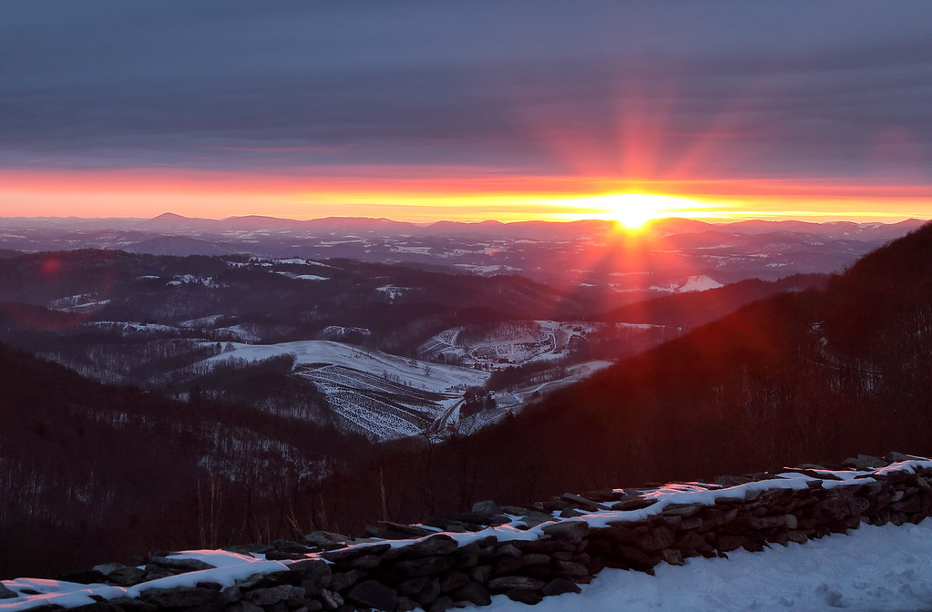
Fotos

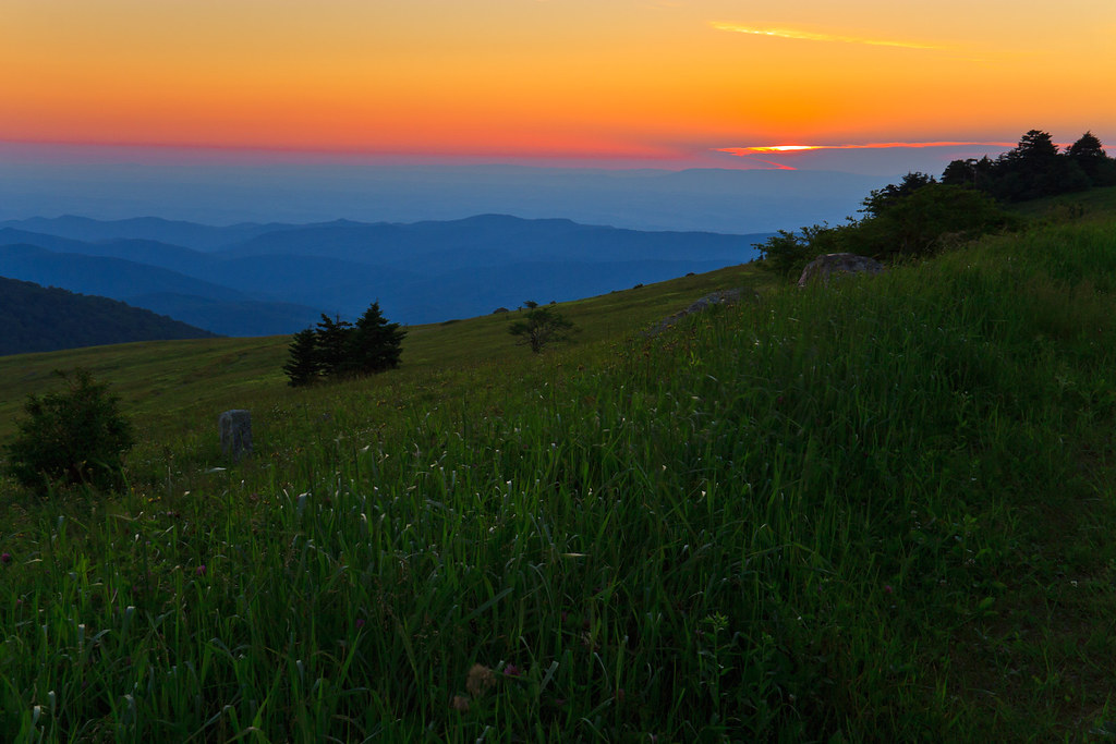
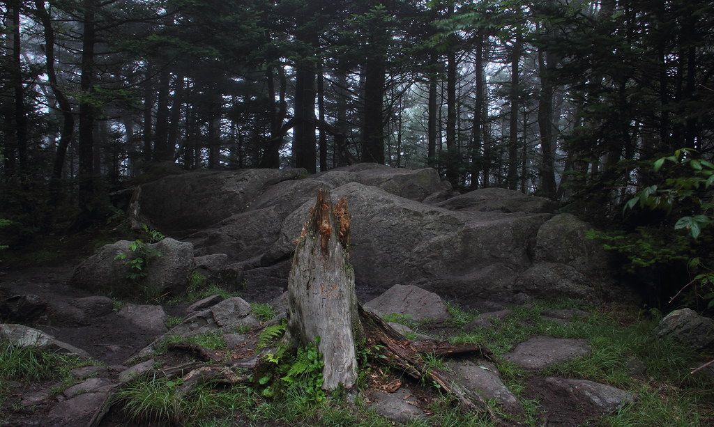
Wilburn Ridge Sunset
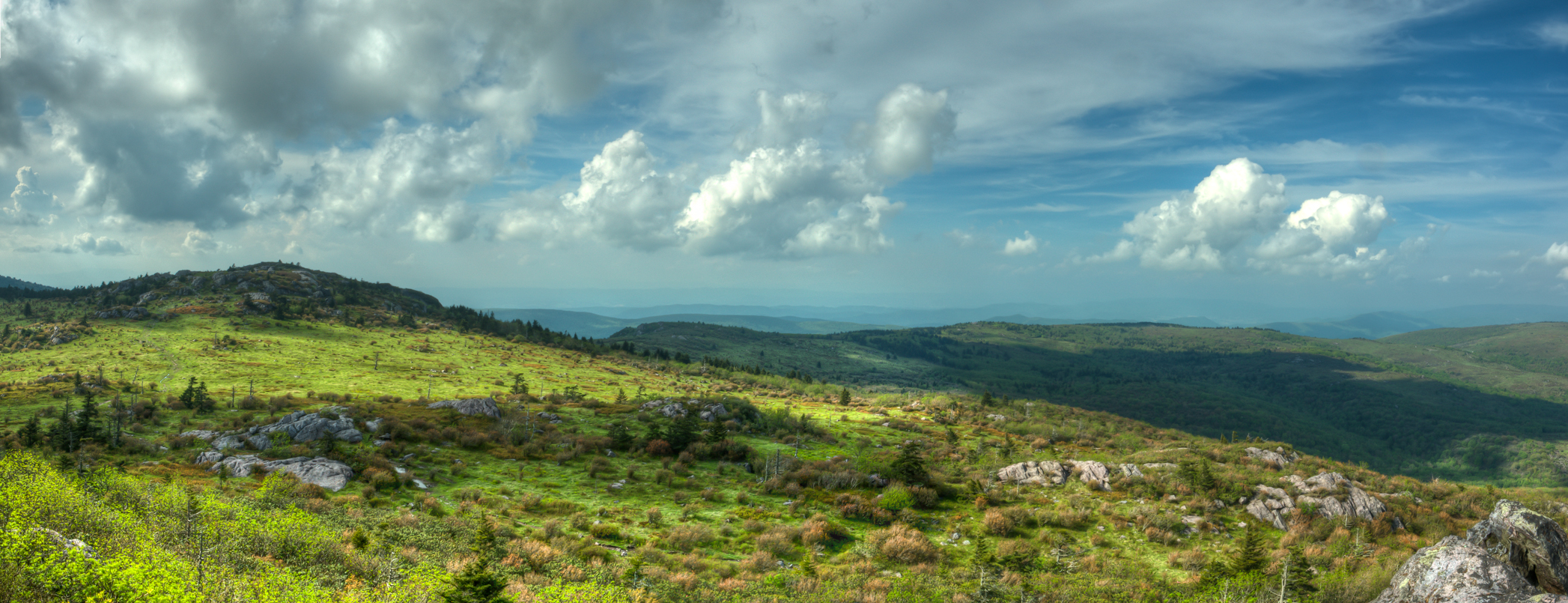
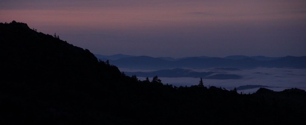
Wilburn Ridge Pano

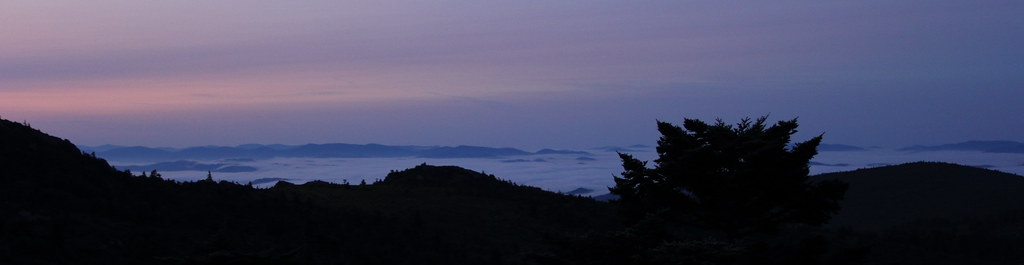
Grayson Highlands Sunset

Wilburn Ridge Sunset
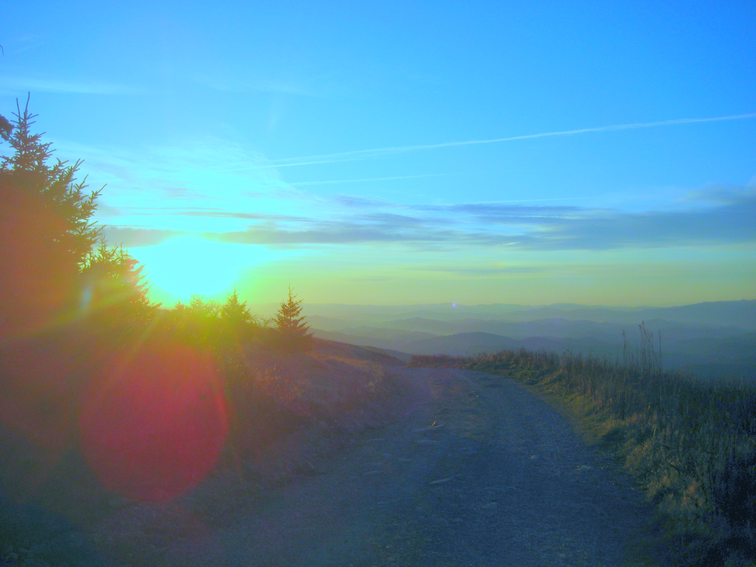
Sunset on White Top
Mt Rogers Backpack - On the AT - Golden Hour at Thomas Knob - July 5, 2014

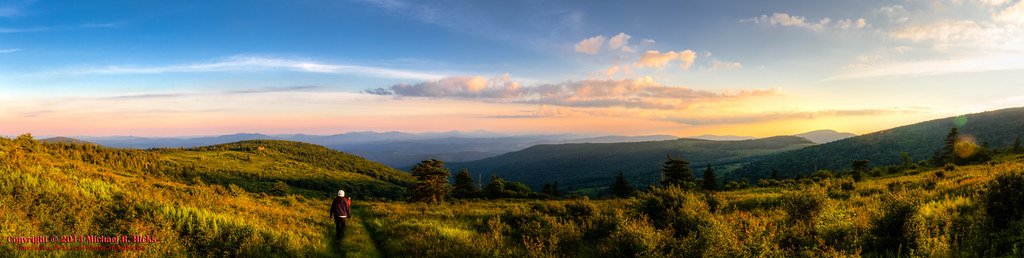
Wilburn Ridge Sunrise

Sunset on White Top
Right This Way

Nuclear Blast
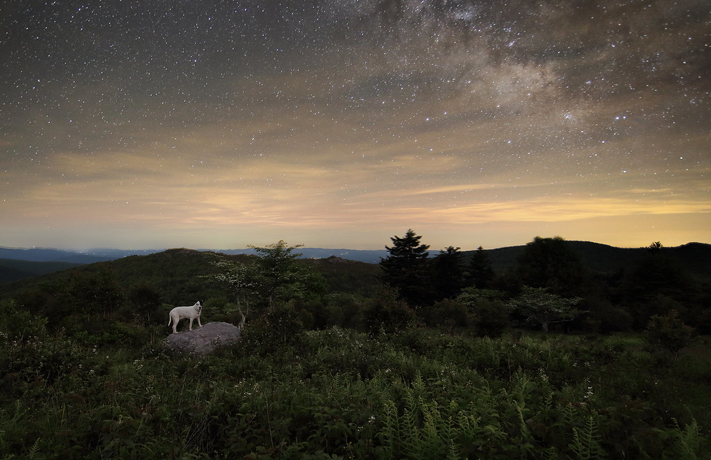
Starry Starry Evening
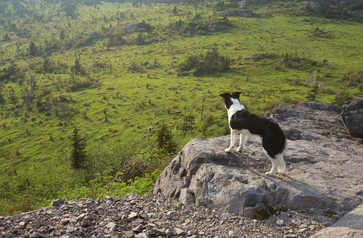
The Herding Instinct

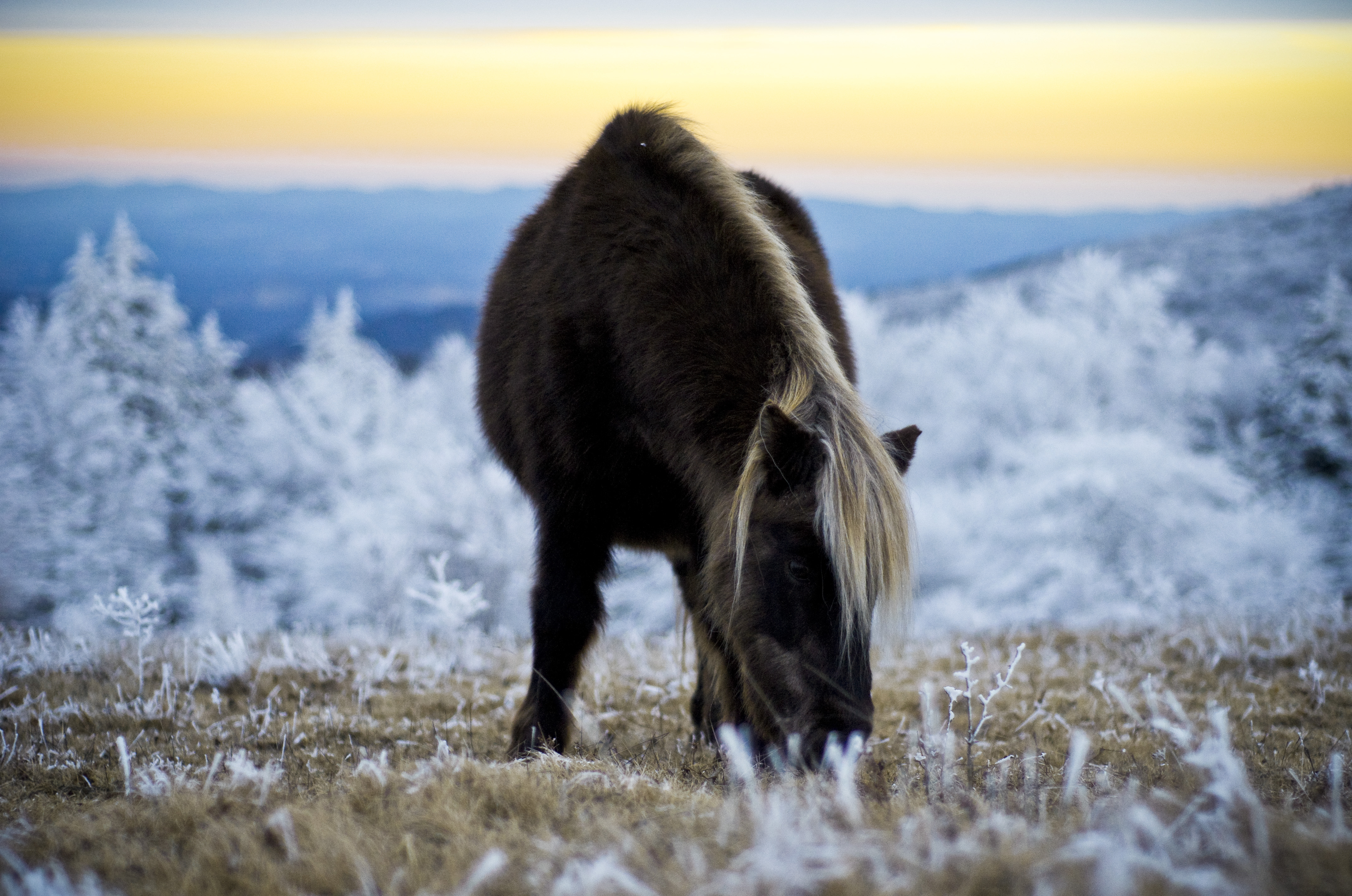
Mountain pony

Wilburn Ridge
Tough Times

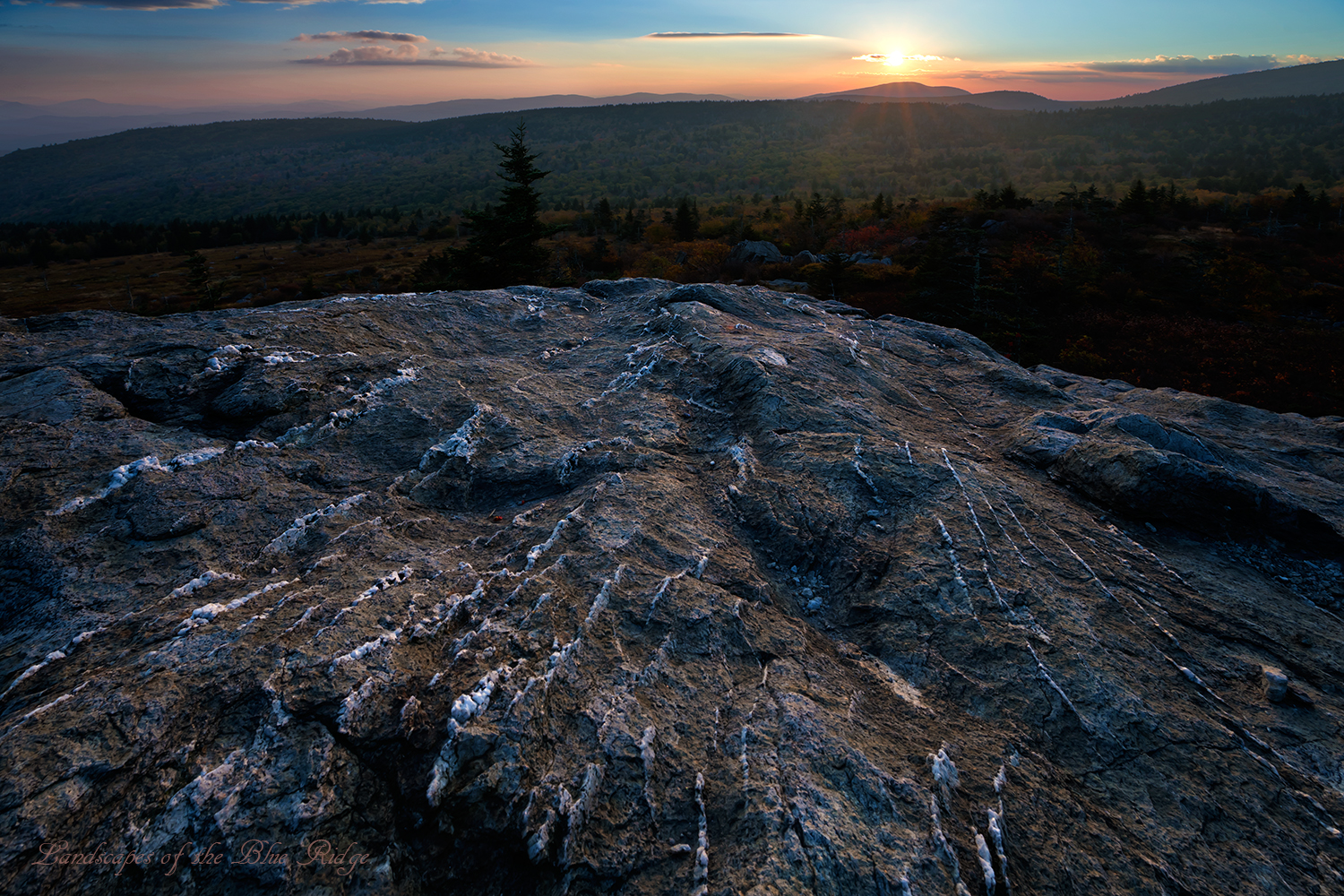
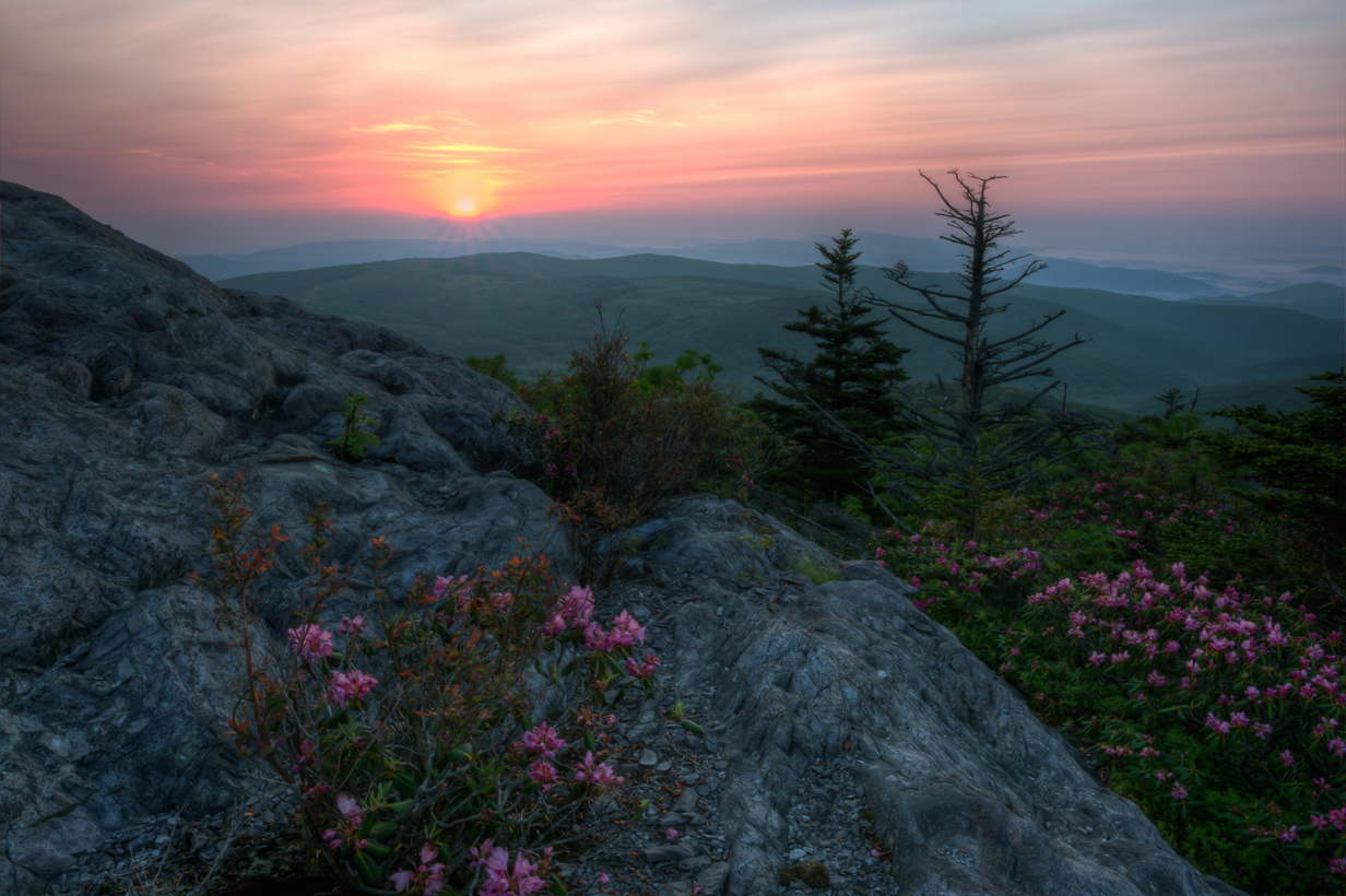
Sunset from Pine Mountain

grayson hiker sunset
Lookg for food
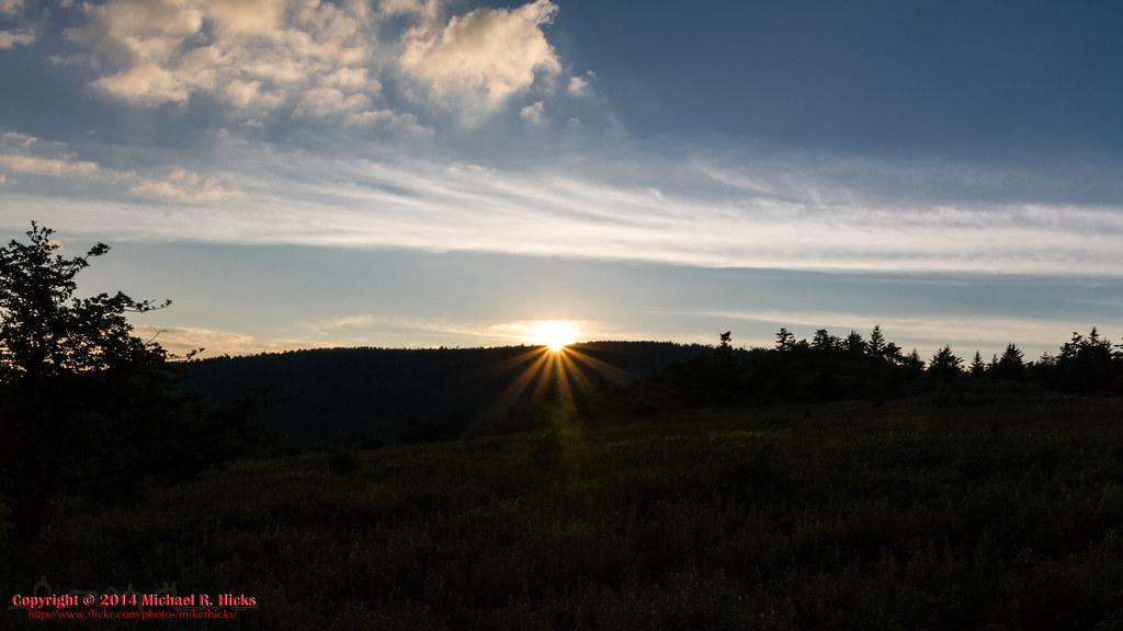
Mt Rogers Backpack - Sunset on Thomas Knob - July 5, 2014

Those late evening skies in the mountains ♡ #optoutside #everytrailconnects #skylovers #virginia#girlswhohike#ladiesgoneglobal #welivetoexplore#outdoorwomen #outdoorlife #radgirlslife#lifeofadventure #adventurethatislife#neverstopexploring #outdooradventu
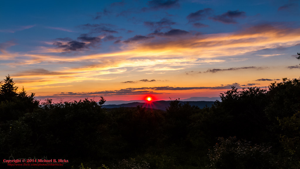
Pine Mountain Sunset
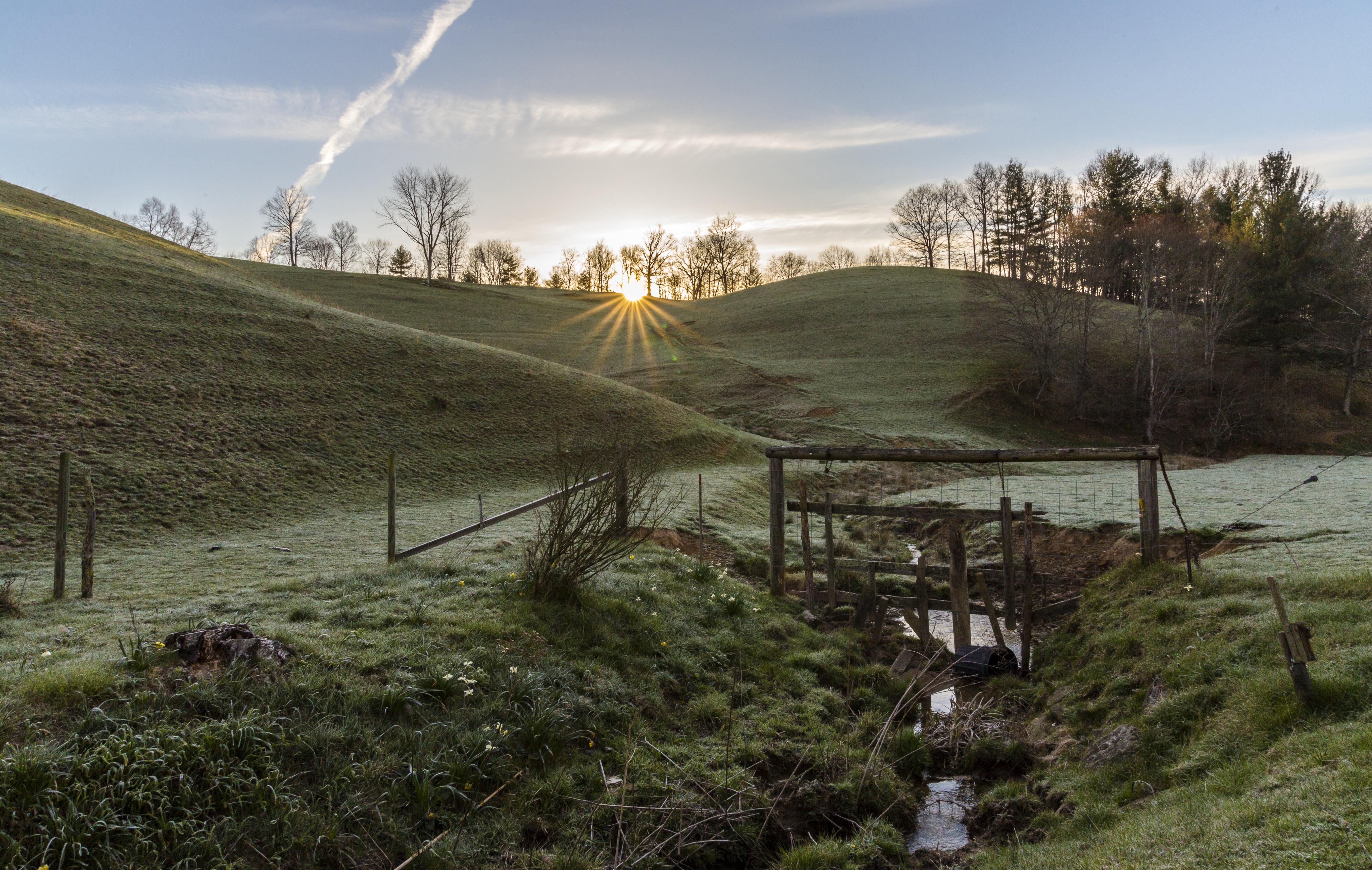
Waiting for the Sun

sunrise pony foal

sunrise foal

sunrise over Wilburn Ridge

Wilburn Ridge Trail
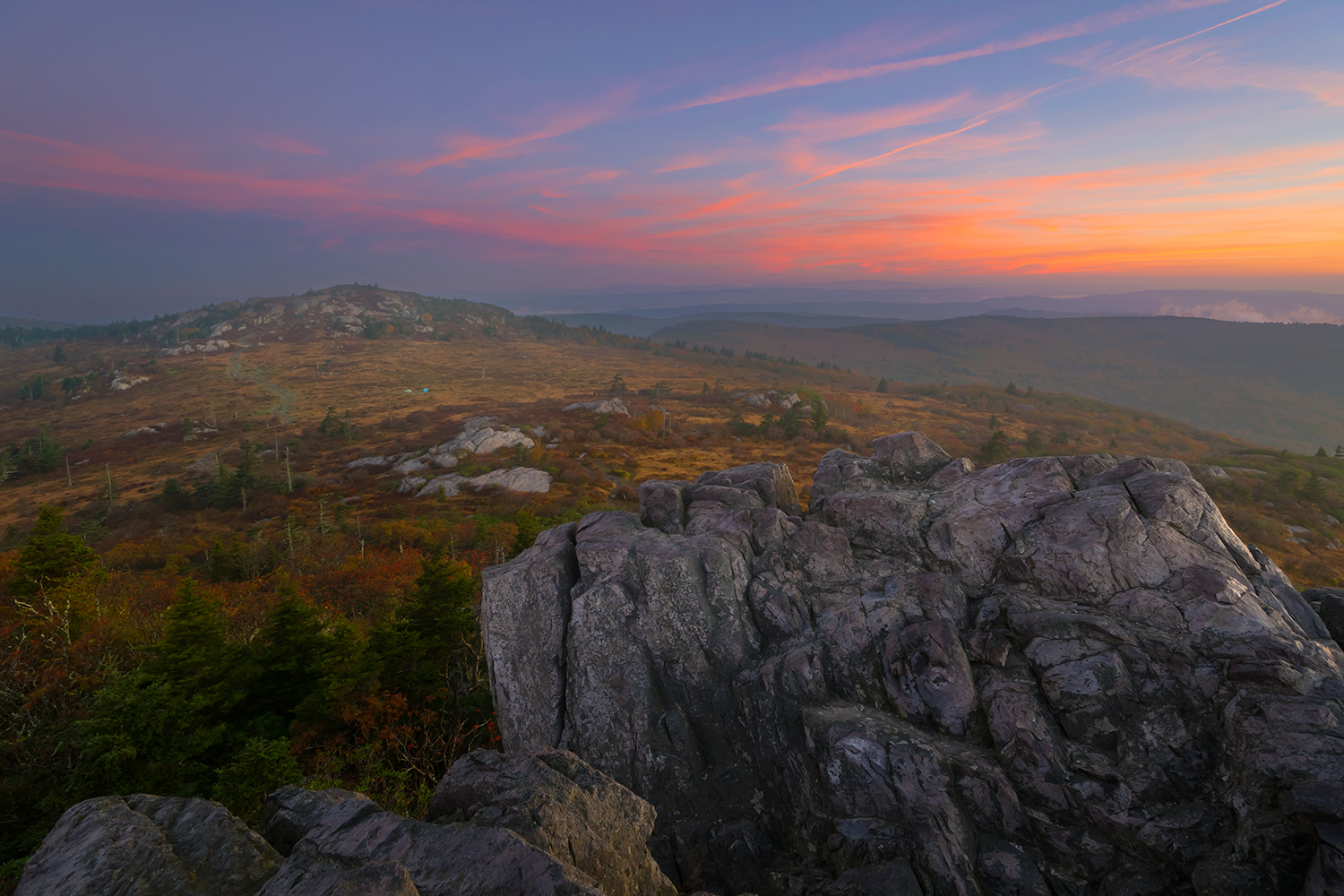
Morning on Wilburn Ridge

Mount Rogers Sunrise 3
Mount Rogers Summit through sunrise fog

Mt Rogers Backpack - Sunrise on Thomas Knob - July 6, 2014
Mount Rogers Sunrise 1
Mount Rogers Sunrise fog
Sunrise on Whitetop Mountain
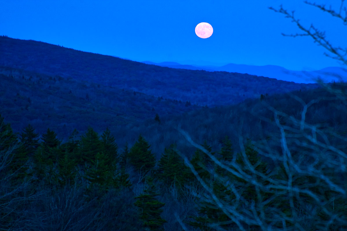
Harvest Moon

Mount Rogers Sunrise 4

Sunbeam 2
Grayson Sunrise
Early SWVA Morning
Mapa de Ray Davis Rd, Lansing, NC, EE. UU.
Buscar otro lugar
Lugares cercanos
John Griffith Road, John Griffith Rd, Lansing, NC, EE. UU.
Helton, NC, EE. UU.
Walnut Creek Dr, Lansing, NC, EE. UU.
Helton, NC, EE. UU.
Bear Run Rd, Lansing, NC, EE. UU.
NC-, Grassy Creek, NC, EE. UU.
NC-, Grassy Creek, NC, EE. UU.
NC-, Lansing, NC, EE. UU.
Silas Creek Rd, Lansing, NC, EE. UU.
Claude Dickson Rd, Grassy Creek, NC, EE. UU.
Little Piney Rd, Lansing, NC, EE. UU.
Piney Creek, NC, EE. UU.
NC-, Lansing, NC, EE. UU.
Walking Stick Rd, Grassy Creek, NC, EE. UU.
Woods on New River Rd, Lansing, NC, EE. UU.
Woods on New River Rd, Lansing, NC, EE. UU.
S Big Horse Creek Rd, Lansing, NC, EE. UU.
Lansing, Carolina del Norte, EE. UU.
Deer Hollow, Lansing, NC, EE. UU.
Stoney Brook Dr, Lansing, NC, EE. UU.
Búsquedas recientes
- Horas de salida y puesta de sol de Red Dog Mine, AK, USA
- Horas de salida y puesta de sol de Am Bahnhof, Am bhf, Borken, Germany
- Horas de salida y puesta de sol de 4th St E, Sonoma, CA, EE. UU.
- Horas de salida y puesta de sol de Oakland Ave, Williamsport, PA, EE. UU.
- Horas de salida y puesta de sol de Via Roma, Pieranica CR, Italia
- Horas de salida y puesta de sol de Torre del reloj, Grad, Dubrovnik (Ragusa), Croacia
- Horas de salida y puesta de sol de Trelew, Chubut, Argentina
- Horas de salida y puesta de sol de Hartfords Bluff Cir, Mt Pleasant, SC, EE. UU.
- Horas de salida y puesta de sol de Kita Ward, Kumamoto, Japón
- Horas de salida y puesta de sol de Pingtan Island, Pingtan County, Fuzhou, China