Horas de salida y puesta de sol de Ralphs Rd, Laurel, DE, EE. UU.
Location: Estados Unidos > Delaware > Condado de Sussex > Laurel >
Zona horaria:
America/New_York
Hora local:
2025-07-02 07:41:44
Longitud:
-75.6382668
Latitud:
38.5010661
Salida de sol de hoy:
05:42:58 AM
Puesta de sol de hoy:
08:30:33 PM
La duración del día hoy:
14h 47m 35s
Salida de sol de mañana:
05:43:29 AM
Puesta de sol de mañana:
08:30:23 PM
La duración del día mañana:
14h 46m 54s
Mostrar todas las fechas
| Fecha | Salida de sol | Puesta de sol | Duración del día |
|---|---|---|---|
| 01/01/2025 | 07:20:04 AM | 04:53:15 PM | 9h 33m 11s |
| 02/01/2025 | 07:20:09 AM | 04:54:06 PM | 9h 33m 57s |
| 03/01/2025 | 07:20:12 AM | 04:54:57 PM | 9h 34m 45s |
| 04/01/2025 | 07:20:12 AM | 04:55:50 PM | 9h 35m 38s |
| 05/01/2025 | 07:20:11 AM | 04:56:45 PM | 9h 36m 34s |
| 06/01/2025 | 07:20:07 AM | 04:57:40 PM | 9h 37m 33s |
| 07/01/2025 | 07:20:01 AM | 04:58:37 PM | 9h 38m 36s |
| 08/01/2025 | 07:19:53 AM | 04:59:34 PM | 9h 39m 41s |
| 09/01/2025 | 07:19:43 AM | 05:00:33 PM | 9h 40m 50s |
| 10/01/2025 | 07:19:31 AM | 05:01:32 PM | 9h 42m 1s |
| 11/01/2025 | 07:19:17 AM | 05:02:33 PM | 9h 43m 16s |
| 12/01/2025 | 07:19:01 AM | 05:03:34 PM | 9h 44m 33s |
| 13/01/2025 | 07:18:42 AM | 05:04:36 PM | 9h 45m 54s |
| 14/01/2025 | 07:18:22 AM | 05:05:39 PM | 9h 47m 17s |
| 15/01/2025 | 07:17:59 AM | 05:06:43 PM | 9h 48m 44s |
| 16/01/2025 | 07:17:35 AM | 05:07:47 PM | 9h 50m 12s |
| 17/01/2025 | 07:17:08 AM | 05:08:52 PM | 9h 51m 44s |
| 18/01/2025 | 07:16:40 AM | 05:09:58 PM | 9h 53m 18s |
| 19/01/2025 | 07:16:09 AM | 05:11:03 PM | 9h 54m 54s |
| 20/01/2025 | 07:15:37 AM | 05:12:10 PM | 9h 56m 33s |
| 21/01/2025 | 07:15:02 AM | 05:13:17 PM | 9h 58m 15s |
| 22/01/2025 | 07:14:26 AM | 05:14:24 PM | 9h 59m 58s |
| 23/01/2025 | 07:13:48 AM | 05:15:31 PM | 10h 1m 43s |
| 24/01/2025 | 07:13:07 AM | 05:16:39 PM | 10h 3m 32s |
| 25/01/2025 | 07:12:25 AM | 05:17:47 PM | 10h 5m 22s |
| 26/01/2025 | 07:11:42 AM | 05:18:55 PM | 10h 7m 13s |
| 27/01/2025 | 07:10:56 AM | 05:20:04 PM | 10h 9m 8s |
| 28/01/2025 | 07:10:09 AM | 05:21:12 PM | 10h 11m 3s |
| 29/01/2025 | 07:09:20 AM | 05:22:21 PM | 10h 13m 1s |
| 30/01/2025 | 07:08:29 AM | 05:23:29 PM | 10h 15m 0s |
| 31/01/2025 | 07:07:37 AM | 05:24:38 PM | 10h 17m 1s |
| 01/02/2025 | 07:06:43 AM | 05:25:47 PM | 10h 19m 4s |
| 02/02/2025 | 07:05:47 AM | 05:26:55 PM | 10h 21m 8s |
| 03/02/2025 | 07:04:50 AM | 05:28:04 PM | 10h 23m 14s |
| 04/02/2025 | 07:03:51 AM | 05:29:12 PM | 10h 25m 21s |
| 05/02/2025 | 07:02:51 AM | 05:30:21 PM | 10h 27m 30s |
| 06/02/2025 | 07:01:49 AM | 05:31:29 PM | 10h 29m 40s |
| 07/02/2025 | 07:00:46 AM | 05:32:37 PM | 10h 31m 51s |
| 08/02/2025 | 06:59:42 AM | 05:33:45 PM | 10h 34m 3s |
| 09/02/2025 | 06:58:36 AM | 05:34:53 PM | 10h 36m 17s |
| 10/02/2025 | 06:57:29 AM | 05:36:00 PM | 10h 38m 31s |
| 11/02/2025 | 06:56:20 AM | 05:37:08 PM | 10h 40m 48s |
| 12/02/2025 | 06:55:10 AM | 05:38:15 PM | 10h 43m 5s |
| 13/02/2025 | 06:53:59 AM | 05:39:22 PM | 10h 45m 23s |
| 14/02/2025 | 06:52:47 AM | 05:40:28 PM | 10h 47m 41s |
| 15/02/2025 | 06:51:34 AM | 05:41:34 PM | 10h 50m 0s |
| 16/02/2025 | 06:50:19 AM | 05:42:40 PM | 10h 52m 21s |
| 17/02/2025 | 06:49:04 AM | 05:43:46 PM | 10h 54m 42s |
| 18/02/2025 | 06:47:47 AM | 05:44:52 PM | 10h 57m 5s |
| 19/02/2025 | 06:46:29 AM | 05:45:57 PM | 10h 59m 28s |
| 20/02/2025 | 06:45:11 AM | 05:47:02 PM | 11h 1m 51s |
| 21/02/2025 | 06:43:51 AM | 05:48:06 PM | 11h 4m 15s |
| 22/02/2025 | 06:42:31 AM | 05:49:10 PM | 11h 6m 39s |
| 23/02/2025 | 06:41:09 AM | 05:50:14 PM | 11h 9m 5s |
| 24/02/2025 | 06:39:47 AM | 05:51:18 PM | 11h 11m 31s |
| 25/02/2025 | 06:38:24 AM | 05:52:21 PM | 11h 13m 57s |
| 26/02/2025 | 06:37:00 AM | 05:53:24 PM | 11h 16m 24s |
| 27/02/2025 | 06:35:35 AM | 05:54:26 PM | 11h 18m 51s |
| 28/02/2025 | 06:34:10 AM | 05:55:29 PM | 11h 21m 19s |
| 01/03/2025 | 06:32:44 AM | 05:56:31 PM | 11h 23m 47s |
| 02/03/2025 | 06:31:17 AM | 05:57:32 PM | 11h 26m 15s |
| 03/03/2025 | 06:29:50 AM | 05:58:34 PM | 11h 28m 44s |
| 04/03/2025 | 06:28:22 AM | 05:59:35 PM | 11h 31m 13s |
| 05/03/2025 | 06:26:53 AM | 06:00:36 PM | 11h 33m 43s |
| 06/03/2025 | 06:25:24 AM | 06:01:36 PM | 11h 36m 12s |
| 07/03/2025 | 06:23:54 AM | 06:02:37 PM | 11h 38m 43s |
| 08/03/2025 | 06:22:24 AM | 06:03:37 PM | 11h 41m 13s |
| 09/03/2025 | 07:20:58 AM | 07:04:34 PM | 11h 43m 36s |
| 10/03/2025 | 07:19:27 AM | 07:05:34 PM | 11h 46m 7s |
| 11/03/2025 | 07:17:56 AM | 07:06:33 PM | 11h 48m 37s |
| 12/03/2025 | 07:16:24 AM | 07:07:32 PM | 11h 51m 8s |
| 13/03/2025 | 07:14:52 AM | 07:08:31 PM | 11h 53m 39s |
| 14/03/2025 | 07:13:20 AM | 07:09:29 PM | 11h 56m 9s |
| 15/03/2025 | 07:11:48 AM | 07:10:28 PM | 11h 58m 40s |
| 16/03/2025 | 07:10:15 AM | 07:11:26 PM | 12h 1m 11s |
| 17/03/2025 | 07:08:42 AM | 07:12:24 PM | 12h 3m 42s |
| 18/03/2025 | 07:07:09 AM | 07:13:22 PM | 12h 6m 13s |
| 19/03/2025 | 07:05:36 AM | 07:14:20 PM | 12h 8m 44s |
| 20/03/2025 | 07:04:03 AM | 07:15:18 PM | 12h 11m 15s |
| 21/03/2025 | 07:02:29 AM | 07:16:15 PM | 12h 13m 46s |
| 22/03/2025 | 07:00:56 AM | 07:17:12 PM | 12h 16m 16s |
| 23/03/2025 | 06:59:23 AM | 07:18:10 PM | 12h 18m 47s |
| 24/03/2025 | 06:57:49 AM | 07:19:07 PM | 12h 21m 18s |
| 25/03/2025 | 06:56:16 AM | 07:20:04 PM | 12h 23m 48s |
| 26/03/2025 | 06:54:43 AM | 07:21:01 PM | 12h 26m 18s |
| 27/03/2025 | 06:53:10 AM | 07:21:58 PM | 12h 28m 48s |
| 28/03/2025 | 06:51:37 AM | 07:22:55 PM | 12h 31m 18s |
| 29/03/2025 | 06:50:04 AM | 07:23:51 PM | 12h 33m 47s |
| 30/03/2025 | 06:48:32 AM | 07:24:48 PM | 12h 36m 16s |
| 31/03/2025 | 06:46:59 AM | 07:25:45 PM | 12h 38m 46s |
| 01/04/2025 | 06:45:27 AM | 07:26:42 PM | 12h 41m 15s |
| 02/04/2025 | 06:43:55 AM | 07:27:38 PM | 12h 43m 43s |
| 03/04/2025 | 06:42:24 AM | 07:28:35 PM | 12h 46m 11s |
| 04/04/2025 | 06:40:53 AM | 07:29:31 PM | 12h 48m 38s |
| 05/04/2025 | 06:39:22 AM | 07:30:28 PM | 12h 51m 6s |
| 06/04/2025 | 06:37:52 AM | 07:31:25 PM | 12h 53m 33s |
| 07/04/2025 | 06:36:22 AM | 07:32:21 PM | 12h 55m 59s |
| 08/04/2025 | 06:34:52 AM | 07:33:18 PM | 12h 58m 26s |
| 09/04/2025 | 06:33:23 AM | 07:34:15 PM | 13h 0m 52s |
| 10/04/2025 | 06:31:55 AM | 07:35:12 PM | 13h 3m 17s |
| 11/04/2025 | 06:30:27 AM | 07:36:08 PM | 13h 5m 41s |
| 12/04/2025 | 06:29:00 AM | 07:37:05 PM | 13h 8m 5s |
| 13/04/2025 | 06:27:33 AM | 07:38:02 PM | 13h 10m 29s |
| 14/04/2025 | 06:26:07 AM | 07:38:59 PM | 13h 12m 52s |
| 15/04/2025 | 06:24:42 AM | 07:39:56 PM | 13h 15m 14s |
| 16/04/2025 | 06:23:17 AM | 07:40:53 PM | 13h 17m 36s |
| 17/04/2025 | 06:21:53 AM | 07:41:50 PM | 13h 19m 57s |
| 18/04/2025 | 06:20:30 AM | 07:42:47 PM | 13h 22m 17s |
| 19/04/2025 | 06:19:08 AM | 07:43:44 PM | 13h 24m 36s |
| 20/04/2025 | 06:17:47 AM | 07:44:41 PM | 13h 26m 54s |
| 21/04/2025 | 06:16:26 AM | 07:45:38 PM | 13h 29m 12s |
| 22/04/2025 | 06:15:06 AM | 07:46:35 PM | 13h 31m 29s |
| 23/04/2025 | 06:13:48 AM | 07:47:32 PM | 13h 33m 44s |
| 24/04/2025 | 06:12:30 AM | 07:48:29 PM | 13h 35m 59s |
| 25/04/2025 | 06:11:13 AM | 07:49:26 PM | 13h 38m 13s |
| 26/04/2025 | 06:09:57 AM | 07:50:23 PM | 13h 40m 26s |
| 27/04/2025 | 06:08:43 AM | 07:51:20 PM | 13h 42m 37s |
| 28/04/2025 | 06:07:29 AM | 07:52:17 PM | 13h 44m 48s |
| 29/04/2025 | 06:06:16 AM | 07:53:14 PM | 13h 46m 58s |
| 30/04/2025 | 06:05:05 AM | 07:54:11 PM | 13h 49m 6s |
| 01/05/2025 | 06:03:55 AM | 07:55:08 PM | 13h 51m 13s |
| 02/05/2025 | 06:02:46 AM | 07:56:05 PM | 13h 53m 19s |
| 03/05/2025 | 06:01:38 AM | 07:57:01 PM | 13h 55m 23s |
| 04/05/2025 | 06:00:31 AM | 07:57:58 PM | 13h 57m 27s |
| 05/05/2025 | 05:59:26 AM | 07:58:54 PM | 13h 59m 28s |
| 06/05/2025 | 05:58:22 AM | 07:59:50 PM | 14h 1m 28s |
| 07/05/2025 | 05:57:19 AM | 08:00:46 PM | 14h 3m 27s |
| 08/05/2025 | 05:56:18 AM | 08:01:41 PM | 14h 5m 23s |
| 09/05/2025 | 05:55:18 AM | 08:02:37 PM | 14h 7m 19s |
| 10/05/2025 | 05:54:20 AM | 08:03:32 PM | 14h 9m 12s |
| 11/05/2025 | 05:53:23 AM | 08:04:26 PM | 14h 11m 3s |
| 12/05/2025 | 05:52:27 AM | 08:05:21 PM | 14h 12m 54s |
| 13/05/2025 | 05:51:33 AM | 08:06:15 PM | 14h 14m 42s |
| 14/05/2025 | 05:50:41 AM | 08:07:09 PM | 14h 16m 28s |
| 15/05/2025 | 05:49:50 AM | 08:08:02 PM | 14h 18m 12s |
| 16/05/2025 | 05:49:01 AM | 08:08:55 PM | 14h 19m 54s |
| 17/05/2025 | 05:48:13 AM | 08:09:47 PM | 14h 21m 34s |
| 18/05/2025 | 05:47:27 AM | 08:10:39 PM | 14h 23m 12s |
| 19/05/2025 | 05:46:42 AM | 08:11:30 PM | 14h 24m 48s |
| 20/05/2025 | 05:45:59 AM | 08:12:21 PM | 14h 26m 22s |
| 21/05/2025 | 05:45:18 AM | 08:13:11 PM | 14h 27m 53s |
| 22/05/2025 | 05:44:39 AM | 08:14:00 PM | 14h 29m 21s |
| 23/05/2025 | 05:44:01 AM | 08:14:49 PM | 14h 30m 48s |
| 24/05/2025 | 05:43:25 AM | 08:15:36 PM | 14h 32m 11s |
| 25/05/2025 | 05:42:51 AM | 08:16:24 PM | 14h 33m 33s |
| 26/05/2025 | 05:42:19 AM | 08:17:10 PM | 14h 34m 51s |
| 27/05/2025 | 05:41:48 AM | 08:17:55 PM | 14h 36m 7s |
| 28/05/2025 | 05:41:19 AM | 08:18:40 PM | 14h 37m 21s |
| 29/05/2025 | 05:40:52 AM | 08:19:23 PM | 14h 38m 31s |
| 30/05/2025 | 05:40:27 AM | 08:20:06 PM | 14h 39m 39s |
| 31/05/2025 | 05:40:04 AM | 08:20:48 PM | 14h 40m 44s |
| 01/06/2025 | 05:39:42 AM | 08:21:28 PM | 14h 41m 46s |
| 02/06/2025 | 05:39:22 AM | 08:22:08 PM | 14h 42m 46s |
| 03/06/2025 | 05:39:05 AM | 08:22:46 PM | 14h 43m 41s |
| 04/06/2025 | 05:38:49 AM | 08:23:23 PM | 14h 44m 34s |
| 05/06/2025 | 05:38:34 AM | 08:23:59 PM | 14h 45m 25s |
| 06/06/2025 | 05:38:22 AM | 08:24:34 PM | 14h 46m 12s |
| 07/06/2025 | 05:38:12 AM | 08:25:07 PM | 14h 46m 55s |
| 08/06/2025 | 05:38:03 AM | 08:25:39 PM | 14h 47m 36s |
| 09/06/2025 | 05:37:56 AM | 08:26:10 PM | 14h 48m 14s |
| 10/06/2025 | 05:37:51 AM | 08:26:39 PM | 14h 48m 48s |
| 11/06/2025 | 05:37:48 AM | 08:27:07 PM | 14h 49m 19s |
| 12/06/2025 | 05:37:47 AM | 08:27:33 PM | 14h 49m 46s |
| 13/06/2025 | 05:37:48 AM | 08:27:58 PM | 14h 50m 10s |
| 14/06/2025 | 05:37:50 AM | 08:28:21 PM | 14h 50m 31s |
| 15/06/2025 | 05:37:54 AM | 08:28:43 PM | 14h 50m 49s |
| 16/06/2025 | 05:38:00 AM | 08:29:03 PM | 14h 51m 3s |
| 17/06/2025 | 05:38:07 AM | 08:29:22 PM | 14h 51m 15s |
| 18/06/2025 | 05:38:17 AM | 08:29:39 PM | 14h 51m 22s |
| 19/06/2025 | 05:38:28 AM | 08:29:54 PM | 14h 51m 26s |
| 20/06/2025 | 05:38:40 AM | 08:30:07 PM | 14h 51m 27s |
| 21/06/2025 | 05:38:55 AM | 08:30:19 PM | 14h 51m 24s |
| 22/06/2025 | 05:39:11 AM | 08:30:29 PM | 14h 51m 18s |
| 23/06/2025 | 05:39:28 AM | 08:30:37 PM | 14h 51m 9s |
| 24/06/2025 | 05:39:48 AM | 08:30:43 PM | 14h 50m 55s |
| 25/06/2025 | 05:40:08 AM | 08:30:48 PM | 14h 50m 40s |
| 26/06/2025 | 05:40:30 AM | 08:30:51 PM | 14h 50m 21s |
| 27/06/2025 | 05:40:54 AM | 08:30:52 PM | 14h 49m 58s |
| 28/06/2025 | 05:41:19 AM | 08:30:51 PM | 14h 49m 32s |
| 29/06/2025 | 05:41:46 AM | 08:30:48 PM | 14h 49m 2s |
| 30/06/2025 | 05:42:14 AM | 08:30:43 PM | 14h 48m 29s |
| 01/07/2025 | 05:42:43 AM | 08:30:37 PM | 14h 47m 54s |
| 02/07/2025 | 05:43:14 AM | 08:30:28 PM | 14h 47m 14s |
| 03/07/2025 | 05:43:46 AM | 08:30:18 PM | 14h 46m 32s |
| 04/07/2025 | 05:44:19 AM | 08:30:06 PM | 14h 45m 47s |
| 05/07/2025 | 05:44:53 AM | 08:29:52 PM | 14h 44m 59s |
| 06/07/2025 | 05:45:28 AM | 08:29:36 PM | 14h 44m 8s |
| 07/07/2025 | 05:46:05 AM | 08:29:18 PM | 14h 43m 13s |
| 08/07/2025 | 05:46:43 AM | 08:28:58 PM | 14h 42m 15s |
| 09/07/2025 | 05:47:21 AM | 08:28:36 PM | 14h 41m 15s |
| 10/07/2025 | 05:48:01 AM | 08:28:13 PM | 14h 40m 12s |
| 11/07/2025 | 05:48:42 AM | 08:27:47 PM | 14h 39m 5s |
| 12/07/2025 | 05:49:23 AM | 08:27:20 PM | 14h 37m 57s |
| 13/07/2025 | 05:50:06 AM | 08:26:51 PM | 14h 36m 45s |
| 14/07/2025 | 05:50:49 AM | 08:26:20 PM | 14h 35m 31s |
| 15/07/2025 | 05:51:33 AM | 08:25:47 PM | 14h 34m 14s |
| 16/07/2025 | 05:52:18 AM | 08:25:13 PM | 14h 32m 55s |
| 17/07/2025 | 05:53:03 AM | 08:24:36 PM | 14h 31m 33s |
| 18/07/2025 | 05:53:50 AM | 08:23:58 PM | 14h 30m 8s |
| 19/07/2025 | 05:54:37 AM | 08:23:18 PM | 14h 28m 41s |
| 20/07/2025 | 05:55:24 AM | 08:22:37 PM | 14h 27m 13s |
| 21/07/2025 | 05:56:12 AM | 08:21:53 PM | 14h 25m 41s |
| 22/07/2025 | 05:57:01 AM | 08:21:08 PM | 14h 24m 7s |
| 23/07/2025 | 05:57:50 AM | 08:20:22 PM | 14h 22m 32s |
| 24/07/2025 | 05:58:40 AM | 08:19:33 PM | 14h 20m 53s |
| 25/07/2025 | 05:59:30 AM | 08:18:43 PM | 14h 19m 13s |
| 26/07/2025 | 06:00:20 AM | 08:17:52 PM | 14h 17m 32s |
| 27/07/2025 | 06:01:11 AM | 08:16:58 PM | 14h 15m 47s |
| 28/07/2025 | 06:02:02 AM | 08:16:04 PM | 14h 14m 2s |
| 29/07/2025 | 06:02:53 AM | 08:15:07 PM | 14h 12m 14s |
| 30/07/2025 | 06:03:45 AM | 08:14:10 PM | 14h 10m 25s |
| 31/07/2025 | 06:04:37 AM | 08:13:10 PM | 14h 8m 33s |
| 01/08/2025 | 06:05:30 AM | 08:12:10 PM | 14h 6m 40s |
| 02/08/2025 | 06:06:22 AM | 08:11:08 PM | 14h 4m 46s |
| 03/08/2025 | 06:07:15 AM | 08:10:04 PM | 14h 2m 49s |
| 04/08/2025 | 06:08:08 AM | 08:08:59 PM | 14h 0m 51s |
| 05/08/2025 | 06:09:01 AM | 08:07:53 PM | 13h 58m 52s |
| 06/08/2025 | 06:09:54 AM | 08:06:46 PM | 13h 56m 52s |
| 07/08/2025 | 06:10:47 AM | 08:05:37 PM | 13h 54m 50s |
| 08/08/2025 | 06:11:40 AM | 08:04:27 PM | 13h 52m 47s |
| 09/08/2025 | 06:12:33 AM | 08:03:15 PM | 13h 50m 42s |
| 10/08/2025 | 06:13:27 AM | 08:02:03 PM | 13h 48m 36s |
| 11/08/2025 | 06:14:20 AM | 08:00:49 PM | 13h 46m 29s |
| 12/08/2025 | 06:15:14 AM | 07:59:35 PM | 13h 44m 21s |
| 13/08/2025 | 06:16:07 AM | 07:58:19 PM | 13h 42m 12s |
| 14/08/2025 | 06:17:00 AM | 07:57:02 PM | 13h 40m 2s |
| 15/08/2025 | 06:17:54 AM | 07:55:44 PM | 13h 37m 50s |
| 16/08/2025 | 06:18:47 AM | 07:54:25 PM | 13h 35m 38s |
| 17/08/2025 | 06:19:41 AM | 07:53:05 PM | 13h 33m 24s |
| 18/08/2025 | 06:20:34 AM | 07:51:44 PM | 13h 31m 10s |
| 19/08/2025 | 06:21:27 AM | 07:50:22 PM | 13h 28m 55s |
| 20/08/2025 | 06:22:21 AM | 07:48:59 PM | 13h 26m 38s |
| 21/08/2025 | 06:23:14 AM | 07:47:36 PM | 13h 24m 22s |
| 22/08/2025 | 06:24:07 AM | 07:46:11 PM | 13h 22m 4s |
| 23/08/2025 | 06:25:00 AM | 07:44:46 PM | 13h 19m 46s |
| 24/08/2025 | 06:25:53 AM | 07:43:20 PM | 13h 17m 27s |
| 25/08/2025 | 06:26:46 AM | 07:41:54 PM | 13h 15m 8s |
| 26/08/2025 | 06:27:39 AM | 07:40:26 PM | 13h 12m 47s |
| 27/08/2025 | 06:28:31 AM | 07:38:58 PM | 13h 10m 27s |
| 28/08/2025 | 06:29:24 AM | 07:37:29 PM | 13h 8m 5s |
| 29/08/2025 | 06:30:17 AM | 07:36:00 PM | 13h 5m 43s |
| 30/08/2025 | 06:31:09 AM | 07:34:30 PM | 13h 3m 21s |
| 31/08/2025 | 06:32:02 AM | 07:33:00 PM | 13h 0m 58s |
| 01/09/2025 | 06:32:54 AM | 07:31:28 PM | 12h 58m 34s |
| 02/09/2025 | 06:33:47 AM | 07:29:57 PM | 12h 56m 10s |
| 03/09/2025 | 06:34:39 AM | 07:28:25 PM | 12h 53m 46s |
| 04/09/2025 | 06:35:31 AM | 07:26:52 PM | 12h 51m 21s |
| 05/09/2025 | 06:36:24 AM | 07:25:20 PM | 12h 48m 56s |
| 06/09/2025 | 06:37:16 AM | 07:23:46 PM | 12h 46m 30s |
| 07/09/2025 | 06:38:08 AM | 07:22:13 PM | 12h 44m 5s |
| 08/09/2025 | 06:39:01 AM | 07:20:39 PM | 12h 41m 38s |
| 09/09/2025 | 06:39:53 AM | 07:19:05 PM | 12h 39m 12s |
| 10/09/2025 | 06:40:45 AM | 07:17:30 PM | 12h 36m 45s |
| 11/09/2025 | 06:41:37 AM | 07:15:55 PM | 12h 34m 18s |
| 12/09/2025 | 06:42:30 AM | 07:14:20 PM | 12h 31m 50s |
| 13/09/2025 | 06:43:22 AM | 07:12:45 PM | 12h 29m 23s |
| 14/09/2025 | 06:44:15 AM | 07:11:10 PM | 12h 26m 55s |
| 15/09/2025 | 06:45:07 AM | 07:09:35 PM | 12h 24m 28s |
| 16/09/2025 | 06:46:00 AM | 07:07:59 PM | 12h 21m 59s |
| 17/09/2025 | 06:46:52 AM | 07:06:24 PM | 12h 19m 32s |
| 18/09/2025 | 06:47:45 AM | 07:04:48 PM | 12h 17m 3s |
| 19/09/2025 | 06:48:38 AM | 07:03:13 PM | 12h 14m 35s |
| 20/09/2025 | 06:49:31 AM | 07:01:37 PM | 12h 12m 6s |
| 21/09/2025 | 06:50:24 AM | 07:00:02 PM | 12h 9m 38s |
| 22/09/2025 | 06:51:17 AM | 06:58:26 PM | 12h 7m 9s |
| 23/09/2025 | 06:52:10 AM | 06:56:51 PM | 12h 4m 41s |
| 24/09/2025 | 06:53:04 AM | 06:55:16 PM | 12h 2m 12s |
| 25/09/2025 | 06:53:58 AM | 06:53:41 PM | 11h 59m 43s |
| 26/09/2025 | 06:54:51 AM | 06:52:06 PM | 11h 57m 15s |
| 27/09/2025 | 06:55:45 AM | 06:50:32 PM | 11h 54m 47s |
| 28/09/2025 | 06:56:40 AM | 06:48:58 PM | 11h 52m 18s |
| 29/09/2025 | 06:57:34 AM | 06:47:24 PM | 11h 49m 50s |
| 30/09/2025 | 06:58:29 AM | 06:45:50 PM | 11h 47m 21s |
| 01/10/2025 | 06:59:24 AM | 06:44:17 PM | 11h 44m 53s |
| 02/10/2025 | 07:00:19 AM | 06:42:44 PM | 11h 42m 25s |
| 03/10/2025 | 07:01:14 AM | 06:41:12 PM | 11h 39m 58s |
| 04/10/2025 | 07:02:10 AM | 06:39:40 PM | 11h 37m 30s |
| 05/10/2025 | 07:03:06 AM | 06:38:08 PM | 11h 35m 2s |
| 06/10/2025 | 07:04:02 AM | 06:36:37 PM | 11h 32m 35s |
| 07/10/2025 | 07:04:59 AM | 06:35:07 PM | 11h 30m 8s |
| 08/10/2025 | 07:05:56 AM | 06:33:37 PM | 11h 27m 41s |
| 09/10/2025 | 07:06:53 AM | 06:32:07 PM | 11h 25m 14s |
| 10/10/2025 | 07:07:50 AM | 06:30:39 PM | 11h 22m 49s |
| 11/10/2025 | 07:08:48 AM | 06:29:11 PM | 11h 20m 23s |
| 12/10/2025 | 07:09:46 AM | 06:27:43 PM | 11h 17m 57s |
| 13/10/2025 | 07:10:45 AM | 06:26:17 PM | 11h 15m 32s |
| 14/10/2025 | 07:11:44 AM | 06:24:51 PM | 11h 13m 7s |
| 15/10/2025 | 07:12:43 AM | 06:23:26 PM | 11h 10m 43s |
| 16/10/2025 | 07:13:42 AM | 06:22:02 PM | 11h 8m 20s |
| 17/10/2025 | 07:14:42 AM | 06:20:39 PM | 11h 5m 57s |
| 18/10/2025 | 07:15:42 AM | 06:19:16 PM | 11h 3m 34s |
| 19/10/2025 | 07:16:43 AM | 06:17:55 PM | 11h 1m 12s |
| 20/10/2025 | 07:17:43 AM | 06:16:34 PM | 10h 58m 51s |
| 21/10/2025 | 07:18:45 AM | 06:15:15 PM | 10h 56m 30s |
| 22/10/2025 | 07:19:46 AM | 06:13:56 PM | 10h 54m 10s |
| 23/10/2025 | 07:20:48 AM | 06:12:39 PM | 10h 51m 51s |
| 24/10/2025 | 07:21:50 AM | 06:11:22 PM | 10h 49m 32s |
| 25/10/2025 | 07:22:53 AM | 06:10:07 PM | 10h 47m 14s |
| 26/10/2025 | 07:23:55 AM | 06:08:53 PM | 10h 44m 58s |
| 27/10/2025 | 07:24:58 AM | 06:07:40 PM | 10h 42m 42s |
| 28/10/2025 | 07:26:02 AM | 06:06:28 PM | 10h 40m 26s |
| 29/10/2025 | 07:27:05 AM | 06:05:18 PM | 10h 38m 13s |
| 30/10/2025 | 07:28:09 AM | 06:04:09 PM | 10h 36m 0s |
| 31/10/2025 | 07:29:13 AM | 06:03:01 PM | 10h 33m 48s |
| 01/11/2025 | 07:30:18 AM | 06:01:55 PM | 10h 31m 37s |
| 02/11/2025 | 06:31:25 AM | 05:00:47 PM | 10h 29m 22s |
| 03/11/2025 | 06:32:30 AM | 04:59:44 PM | 10h 27m 14s |
| 04/11/2025 | 06:33:35 AM | 04:58:42 PM | 10h 25m 7s |
| 05/11/2025 | 06:34:40 AM | 04:57:41 PM | 10h 23m 1s |
| 06/11/2025 | 06:35:45 AM | 04:56:42 PM | 10h 20m 57s |
| 07/11/2025 | 06:36:51 AM | 04:55:45 PM | 10h 18m 54s |
| 08/11/2025 | 06:37:56 AM | 04:54:49 PM | 10h 16m 53s |
| 09/11/2025 | 06:39:02 AM | 04:53:55 PM | 10h 14m 53s |
| 10/11/2025 | 06:40:07 AM | 04:53:02 PM | 10h 12m 55s |
| 11/11/2025 | 06:41:13 AM | 04:52:12 PM | 10h 10m 59s |
| 12/11/2025 | 06:42:19 AM | 04:51:23 PM | 10h 9m 4s |
| 13/11/2025 | 06:43:24 AM | 04:50:35 PM | 10h 7m 11s |
| 14/11/2025 | 06:44:29 AM | 04:49:50 PM | 10h 5m 21s |
| 15/11/2025 | 06:45:35 AM | 04:49:06 PM | 10h 3m 31s |
| 16/11/2025 | 06:46:40 AM | 04:48:24 PM | 10h 1m 44s |
| 17/11/2025 | 06:47:45 AM | 04:47:44 PM | 9h 59m 59s |
| 18/11/2025 | 06:48:49 AM | 04:47:06 PM | 9h 58m 17s |
| 19/11/2025 | 06:49:54 AM | 04:46:30 PM | 9h 56m 36s |
| 20/11/2025 | 06:50:58 AM | 04:45:56 PM | 9h 54m 58s |
| 21/11/2025 | 06:52:01 AM | 04:45:24 PM | 9h 53m 23s |
| 22/11/2025 | 06:53:04 AM | 04:44:53 PM | 9h 51m 49s |
| 23/11/2025 | 06:54:07 AM | 04:44:25 PM | 9h 50m 18s |
| 24/11/2025 | 06:55:09 AM | 04:43:59 PM | 9h 48m 50s |
| 25/11/2025 | 06:56:11 AM | 04:43:35 PM | 9h 47m 24s |
| 26/11/2025 | 06:57:12 AM | 04:43:13 PM | 9h 46m 1s |
| 27/11/2025 | 06:58:12 AM | 04:42:53 PM | 9h 44m 41s |
| 28/11/2025 | 06:59:12 AM | 04:42:35 PM | 9h 43m 23s |
| 29/11/2025 | 07:00:11 AM | 04:42:20 PM | 9h 42m 9s |
| 30/11/2025 | 07:01:09 AM | 04:42:06 PM | 9h 40m 57s |
| 01/12/2025 | 07:02:06 AM | 04:41:55 PM | 9h 39m 49s |
| 02/12/2025 | 07:03:03 AM | 04:41:45 PM | 9h 38m 42s |
| 03/12/2025 | 07:03:58 AM | 04:41:38 PM | 9h 37m 40s |
| 04/12/2025 | 07:04:52 AM | 04:41:33 PM | 9h 36m 41s |
| 05/12/2025 | 07:05:45 AM | 04:41:31 PM | 9h 35m 46s |
| 06/12/2025 | 07:06:37 AM | 04:41:30 PM | 9h 34m 53s |
| 07/12/2025 | 07:07:28 AM | 04:41:32 PM | 9h 34m 4s |
| 08/12/2025 | 07:08:18 AM | 04:41:35 PM | 9h 33m 17s |
| 09/12/2025 | 07:09:06 AM | 04:41:41 PM | 9h 32m 35s |
| 10/12/2025 | 07:09:53 AM | 04:41:49 PM | 9h 31m 56s |
| 11/12/2025 | 07:10:39 AM | 04:41:59 PM | 9h 31m 20s |
| 12/12/2025 | 07:11:23 AM | 04:42:12 PM | 9h 30m 49s |
| 13/12/2025 | 07:12:06 AM | 04:42:26 PM | 9h 30m 20s |
| 14/12/2025 | 07:12:47 AM | 04:42:42 PM | 9h 29m 55s |
| 15/12/2025 | 07:13:27 AM | 04:43:01 PM | 9h 29m 34s |
| 16/12/2025 | 07:14:05 AM | 04:43:21 PM | 9h 29m 16s |
| 17/12/2025 | 07:14:41 AM | 04:43:44 PM | 9h 29m 3s |
| 18/12/2025 | 07:15:16 AM | 04:44:09 PM | 9h 28m 53s |
| 19/12/2025 | 07:15:48 AM | 04:44:35 PM | 9h 28m 47s |
| 20/12/2025 | 07:16:20 AM | 04:45:04 PM | 9h 28m 44s |
| 21/12/2025 | 07:16:49 AM | 04:45:34 PM | 9h 28m 45s |
| 22/12/2025 | 07:17:16 AM | 04:46:06 PM | 9h 28m 50s |
| 23/12/2025 | 07:17:42 AM | 04:46:40 PM | 9h 28m 58s |
| 24/12/2025 | 07:18:05 AM | 04:47:16 PM | 9h 29m 11s |
| 25/12/2025 | 07:18:27 AM | 04:47:54 PM | 9h 29m 27s |
| 26/12/2025 | 07:18:47 AM | 04:48:33 PM | 9h 29m 46s |
| 27/12/2025 | 07:19:04 AM | 04:49:14 PM | 9h 30m 10s |
| 28/12/2025 | 07:19:20 AM | 04:49:57 PM | 9h 30m 37s |
| 29/12/2025 | 07:19:34 AM | 04:50:41 PM | 9h 31m 7s |
| 30/12/2025 | 07:19:45 AM | 04:51:27 PM | 9h 31m 42s |
| 31/12/2025 | 07:19:55 AM | 04:52:14 PM | 9h 32m 19s |
Fotos

Sunset over harbor

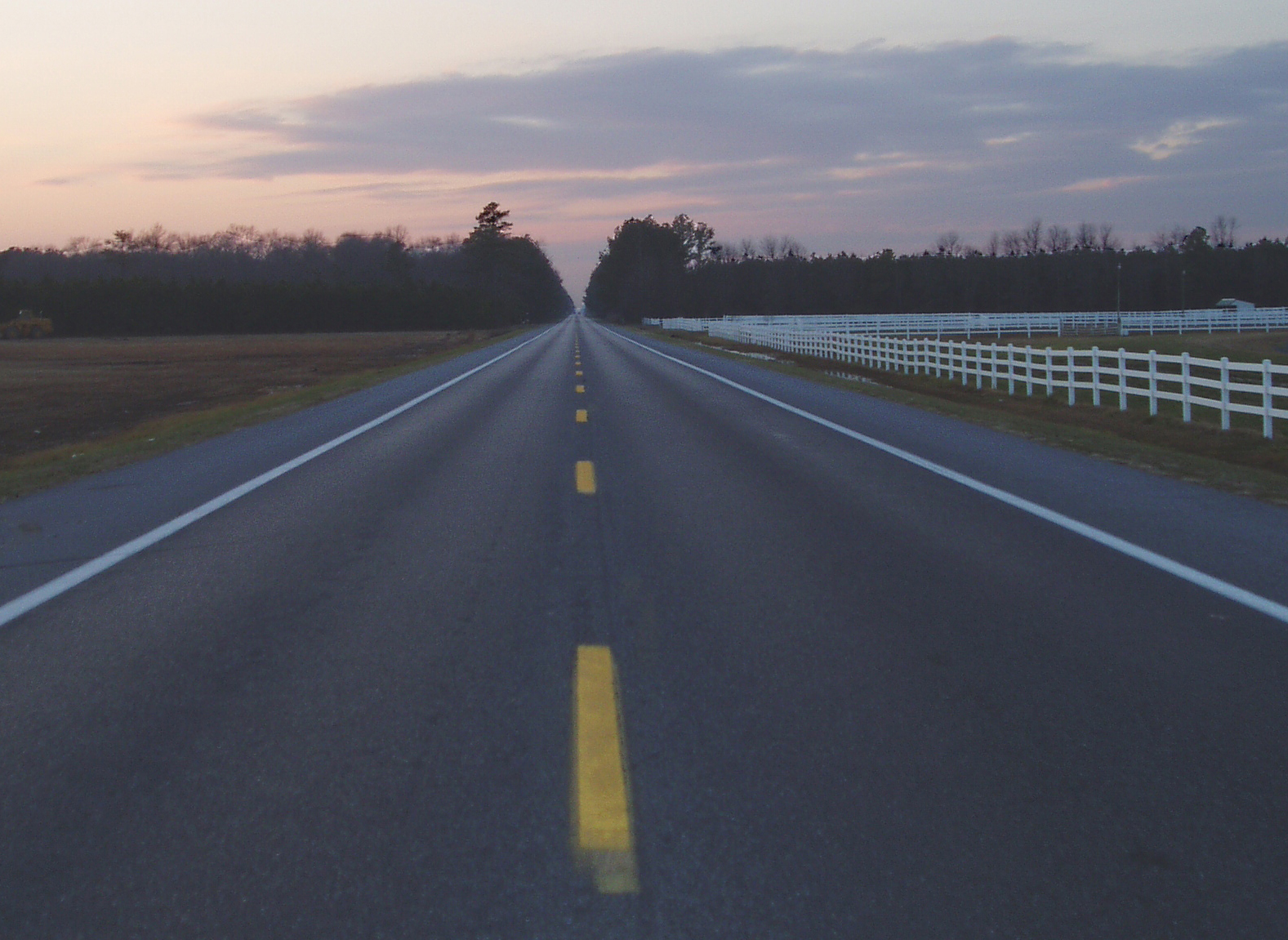
Country Road

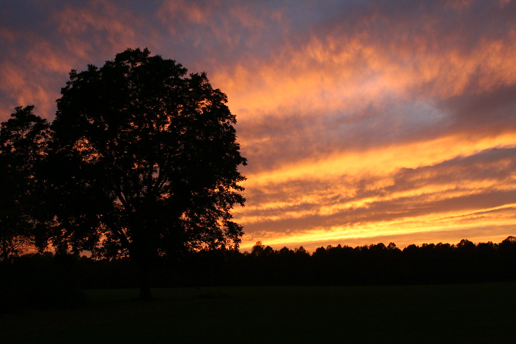
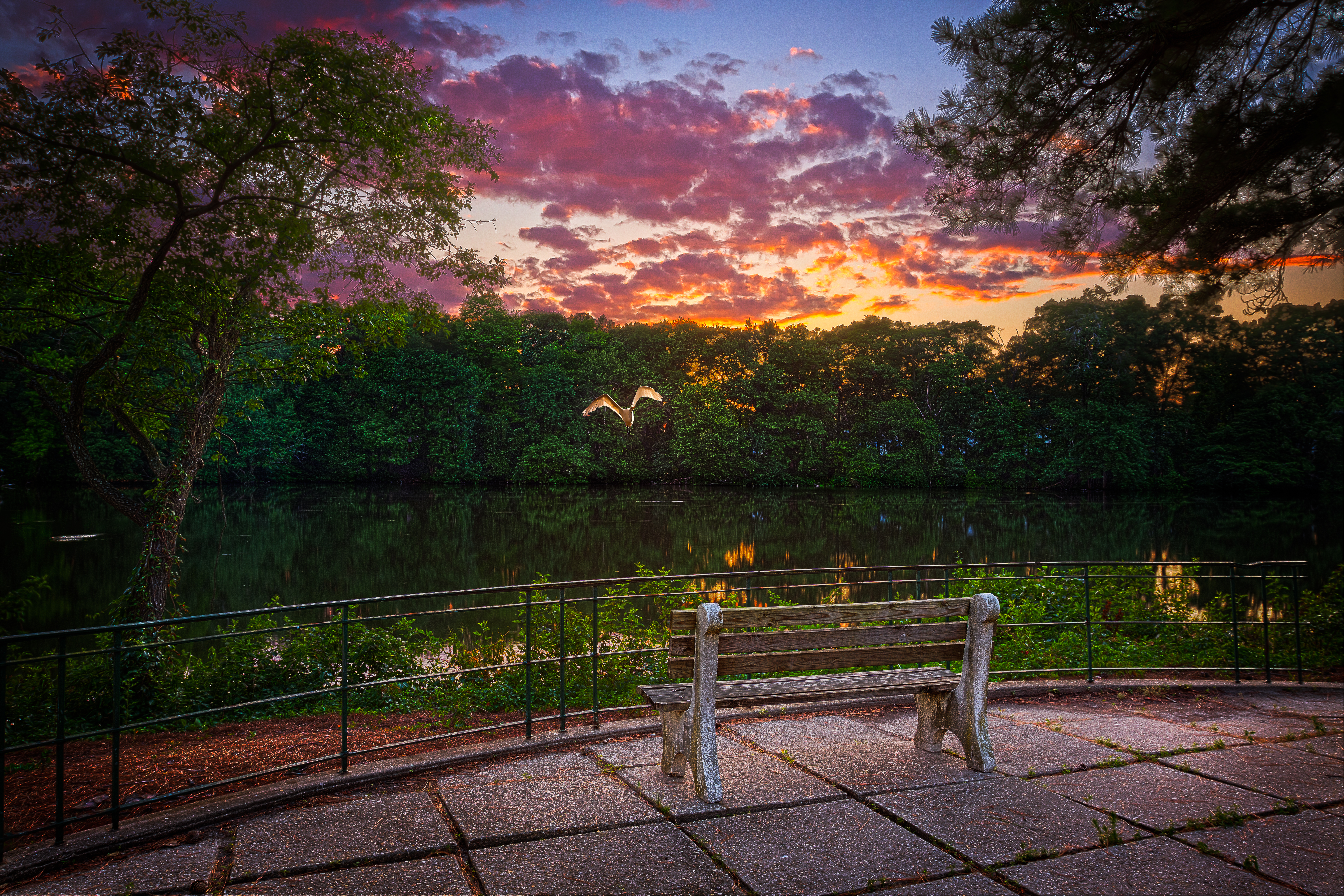
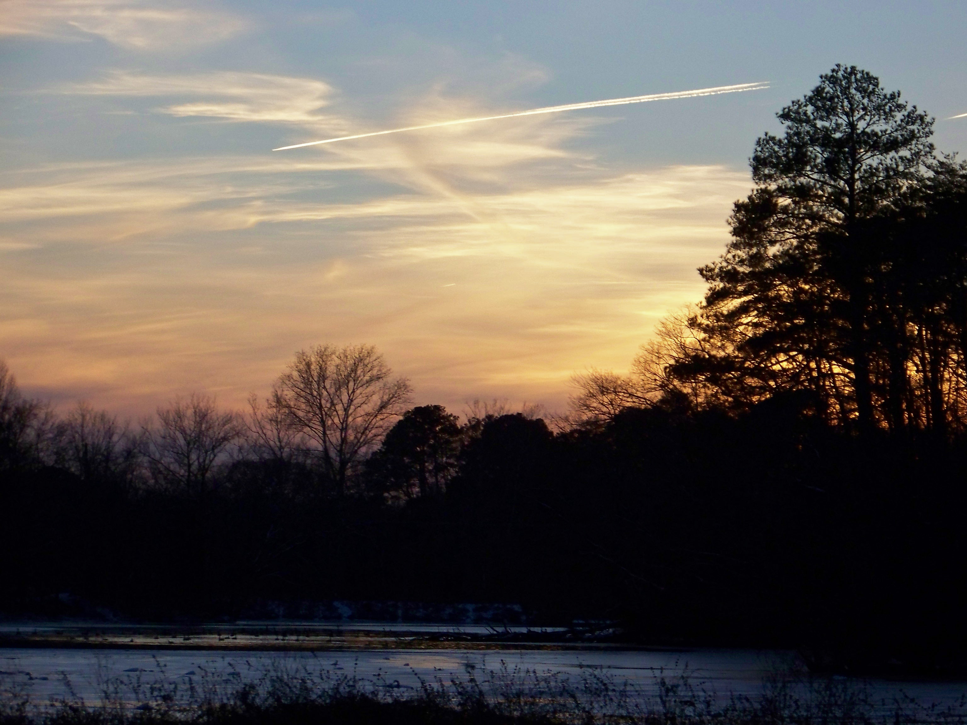
Pond Sunset
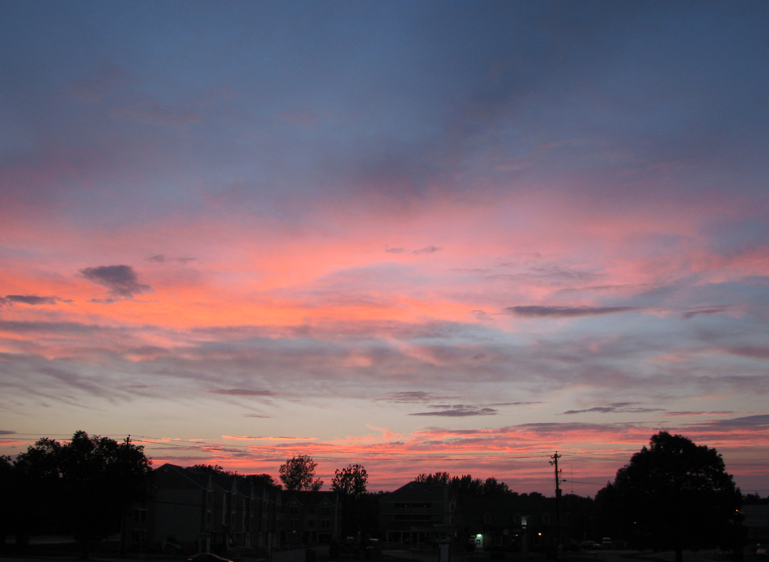
Twilight at the Farm

Suset at Trap Pond

Tonights sunset was awesome! Capturing it from a moving car on a cell hardly does it justice.
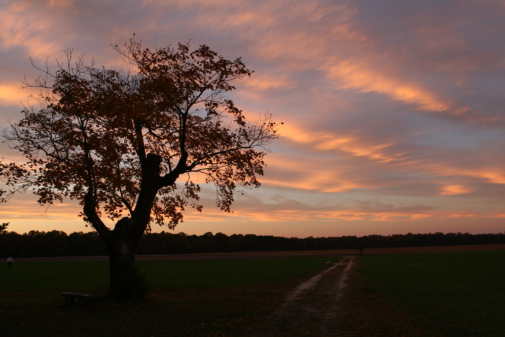
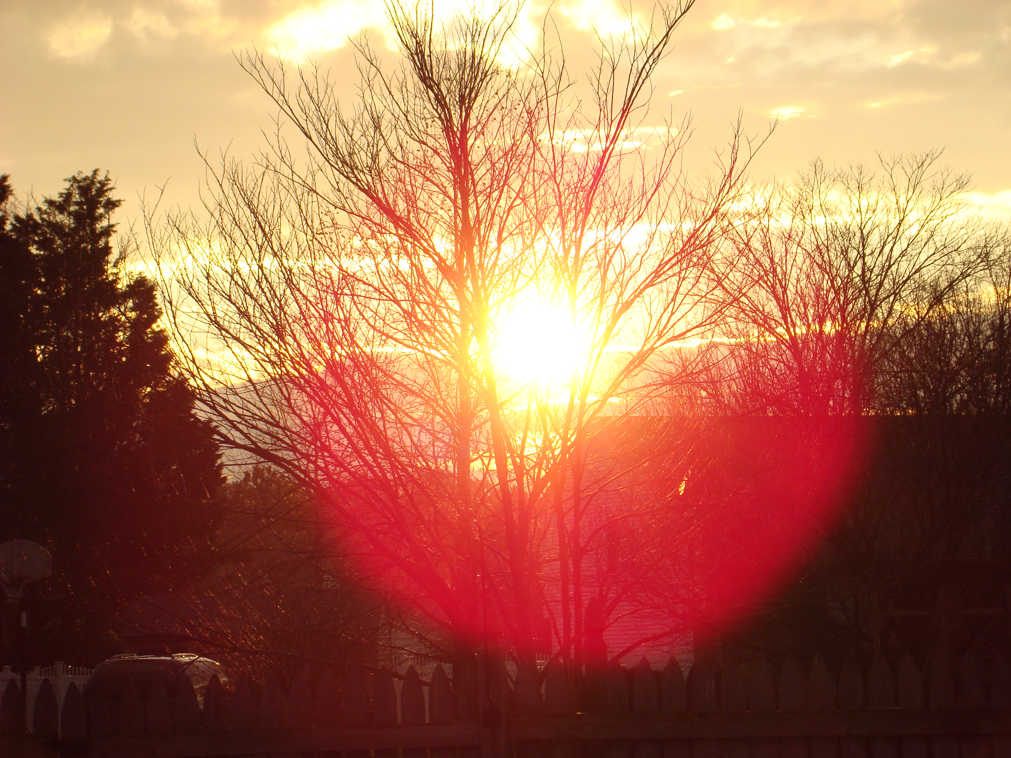
Twilight at the Farm
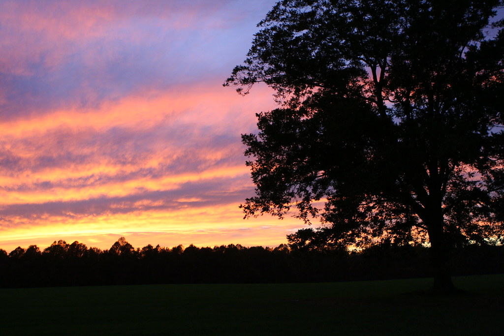
Twilight at the Farm
Highway 54, the Line Road
Sunset over Riverside Drive
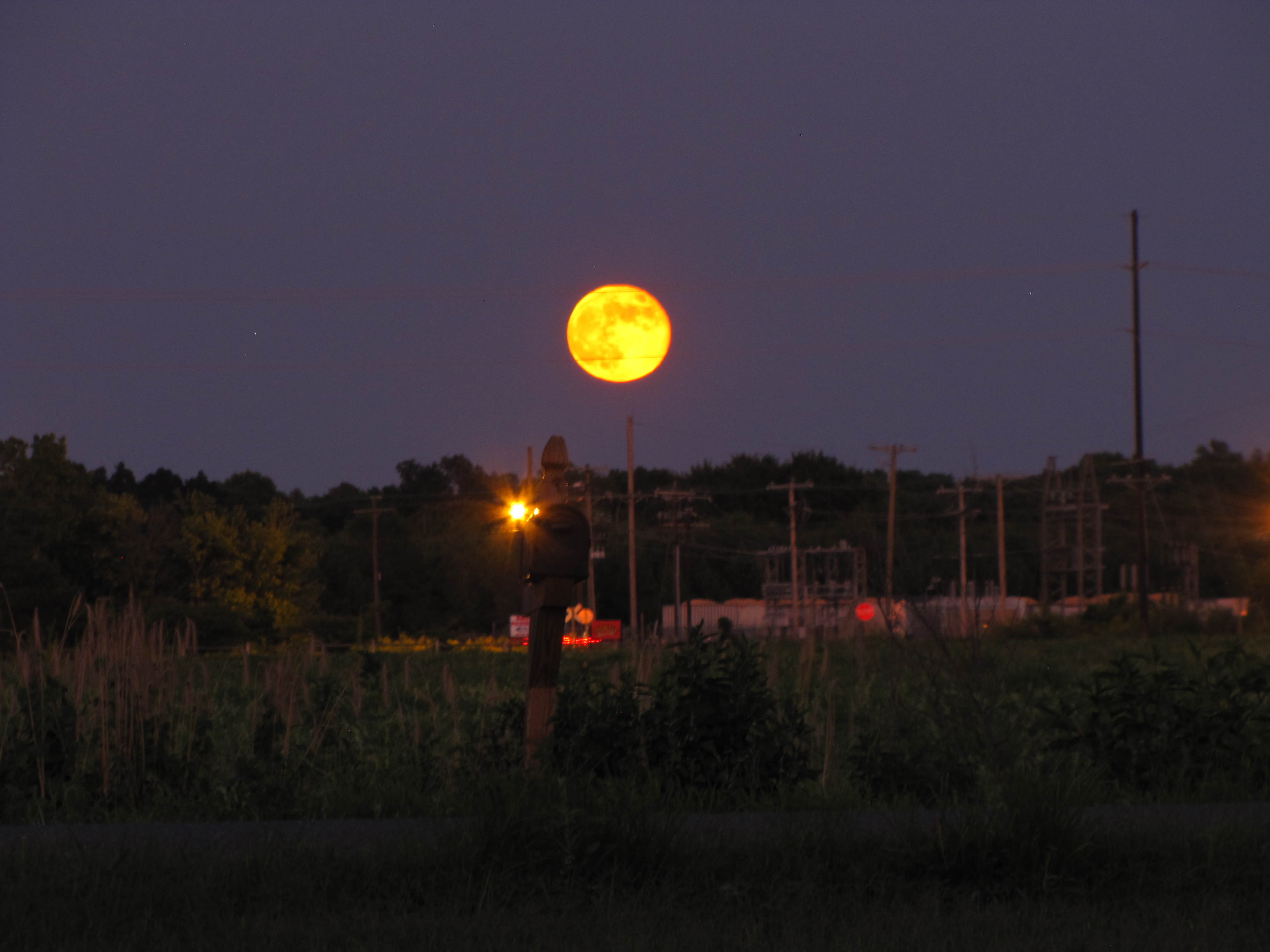
Full Moonrise Over Delmar
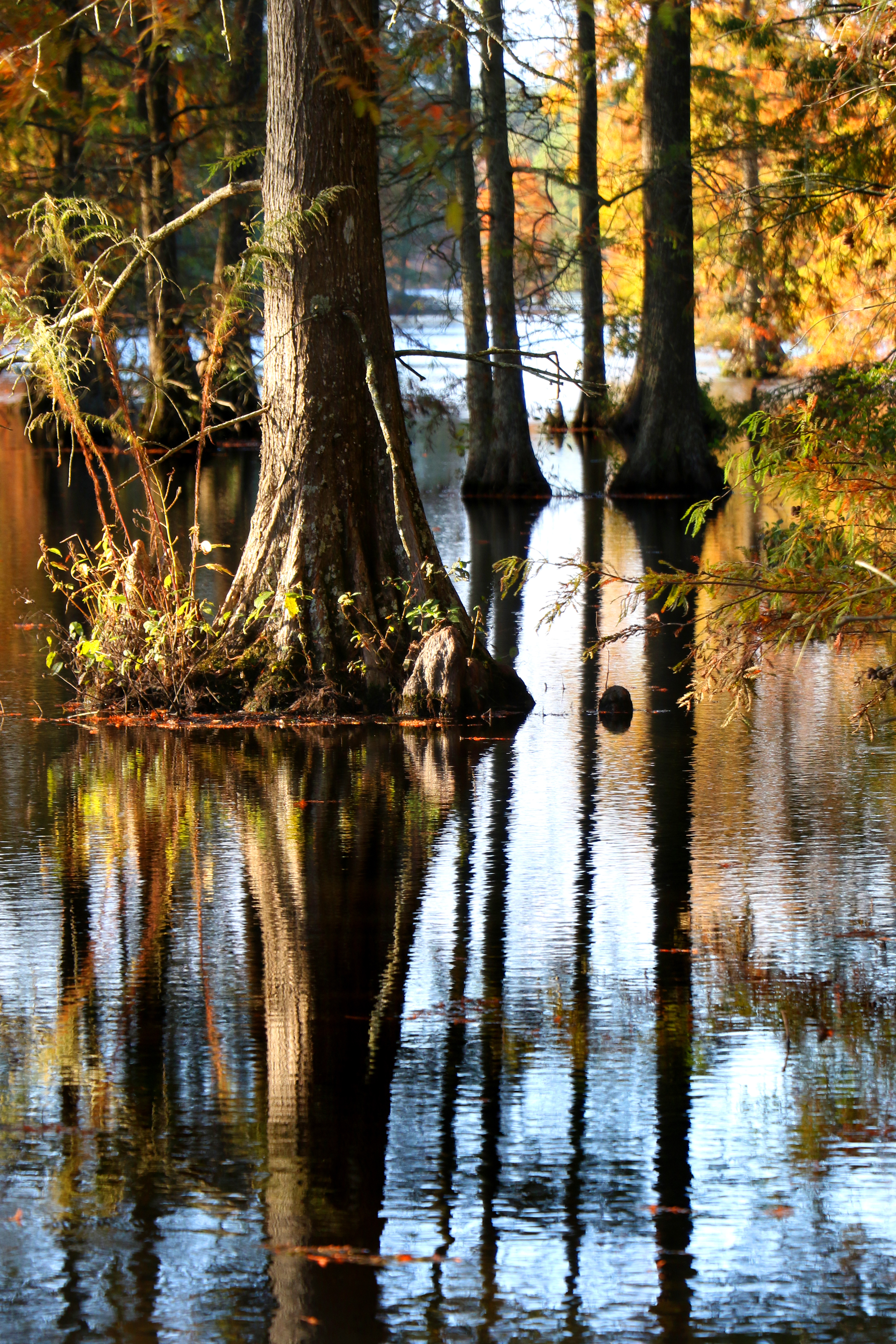
Bald Cypress sunset...6O3A8799A
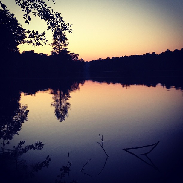
Sunset on the lake.

Great Blue Heron
Deer's Head
Sunset in Salisbury
Sunset in Mardela
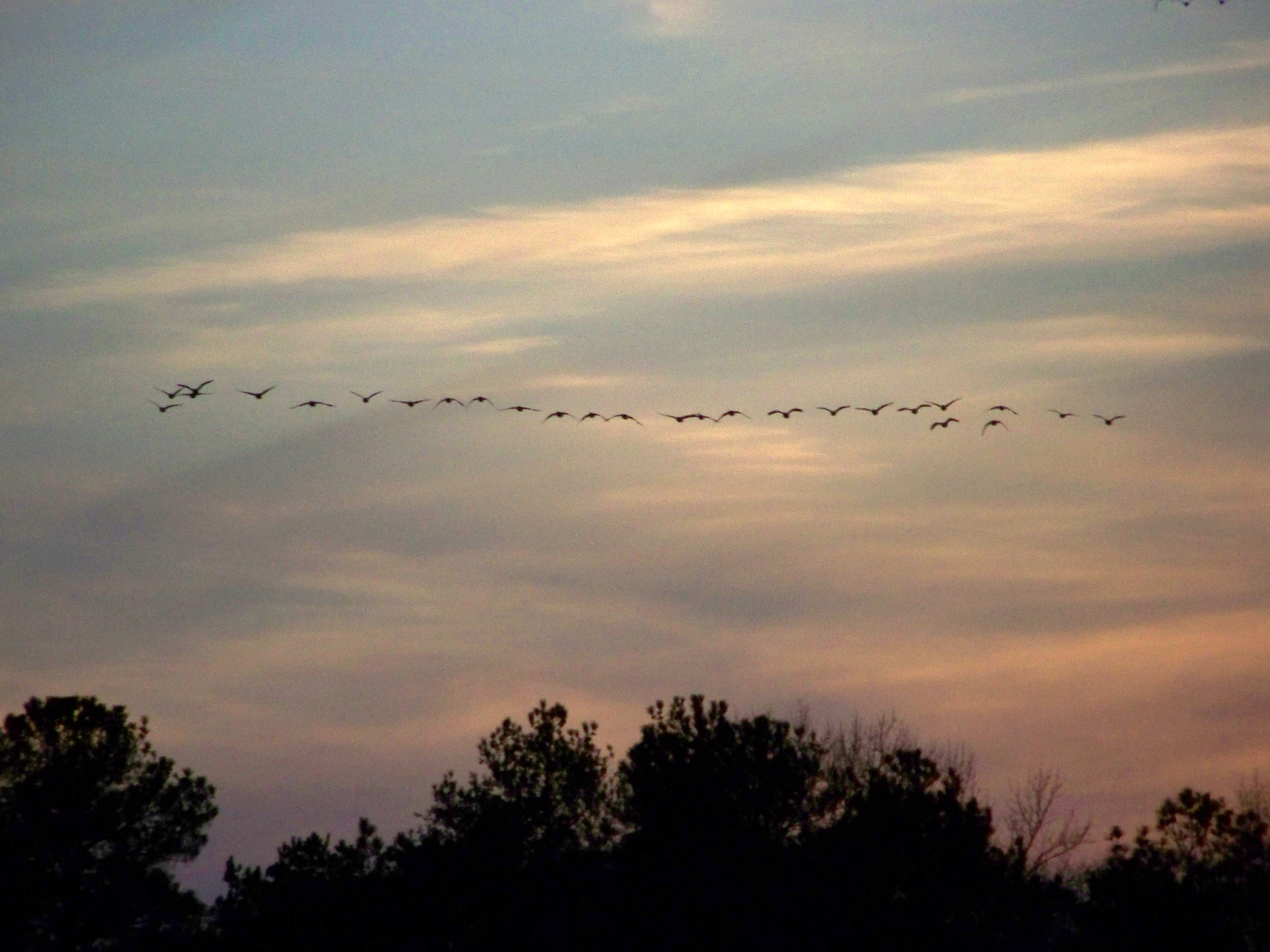
Sunset Flight
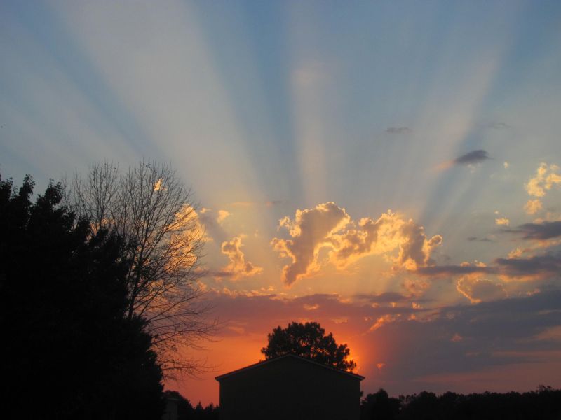
Golden Sunset

CYPRESS SUNRISE
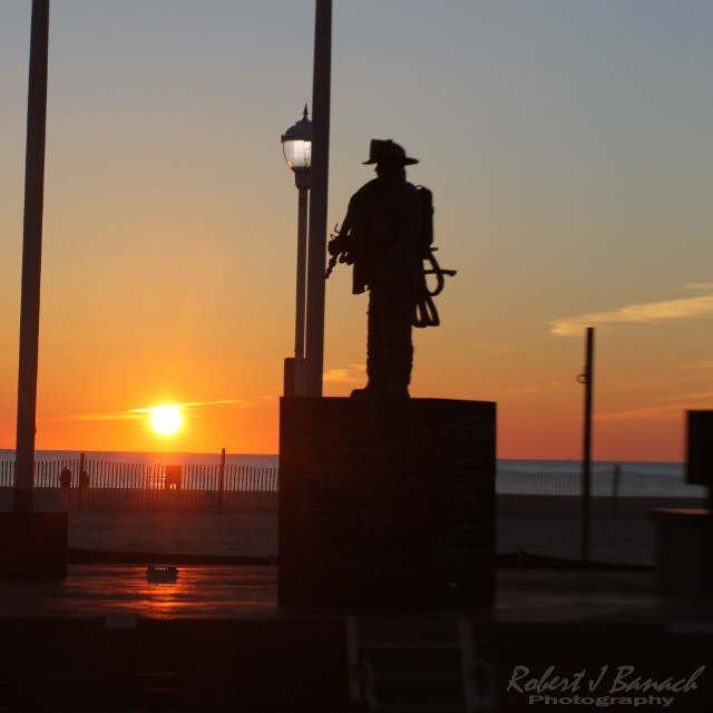
#Firefighter #Memorial at #sunrise on Jan 1 2015 #oceancity #maryland #ocmd #oceancitycool #OCCoolPix #mdlivin #beachlife #saltlife #ig_nature #itsamazingoutthere

Up In The Sky: 01-21-2011

Man Down
Mapa de Ralphs Rd, Laurel, DE, EE. UU.
Buscar otro lugar
Lugares cercanos
Shell Bridge Rd, Laurel, DE, EE. UU.
River Rd, Laurel, DE, EE. UU.
Shell Bridge Rd, Laurel, DE, EE. UU.
Bethel, Delaware, EE. UU.
Mallard Point, Seaford, DE, EE. UU.
River Rd, Seaford, DE, EE. UU.
Gum Branch Rd, Seaford, DE, EE. UU.
Florence, Seaford, DE, EE. UU.
Woodland Rd, Seaford, DE, EE. UU.
Grace Cir, Seaford, DE, EE. UU.
Butler Branch Rd, Seaford, DE, EE. UU.
23 Sussex Hwy, Seaford, DE, EE. UU.
Line Rd, Seaford, DE, EE. UU.
Blades, Delaware, EE. UU.
Brookside Dr, Seaford, DE, EE. UU.
W Stein Hwy, Seaford, DE, EE. UU.
Seaford, Delaware, EE. UU.
86 Line Rd, Seaford, MD, EE. UU.
Concord Rd, Seaford, DE, EE. UU.
Woodland Ferry Rd, Seaford, DE, EE. UU.
Búsquedas recientes
- Horas de salida y puesta de sol de Red Dog Mine, AK, USA
- Horas de salida y puesta de sol de Am Bahnhof, Am bhf, Borken, Germany
- Horas de salida y puesta de sol de 4th St E, Sonoma, CA, EE. UU.
- Horas de salida y puesta de sol de Oakland Ave, Williamsport, PA, EE. UU.
- Horas de salida y puesta de sol de Via Roma, Pieranica CR, Italia
- Horas de salida y puesta de sol de Torre del reloj, Grad, Dubrovnik (Ragusa), Croacia
- Horas de salida y puesta de sol de Trelew, Chubut, Argentina
- Horas de salida y puesta de sol de Hartfords Bluff Cir, Mt Pleasant, SC, EE. UU.
- Horas de salida y puesta de sol de Kita Ward, Kumamoto, Japón
- Horas de salida y puesta de sol de Pingtan Island, Pingtan County, Fuzhou, China