Horas de salida y puesta de sol de Queen Mountain, Idaho, EE. UU.
Location: Estados Unidos > Idaho > Bonners Ferry >
Zona horaria:
America/Los_Angeles
Hora local:
2025-05-23 20:45:53
Longitud:
-116.2149213
Latitud:
48.8780022
Salida de sol de hoy:
04:51:32 AM
Puesta de sol de hoy:
08:32:02 PM
La duración del día hoy:
15h 40m 30s
Salida de sol de mañana:
04:50:35 AM
Puesta de sol de mañana:
08:33:11 PM
La duración del día mañana:
15h 42m 36s
Mostrar todas las fechas
| Fecha | Salida de sol | Puesta de sol | Duración del día |
|---|---|---|---|
| 01/01/2025 | 07:38:07 AM | 04:00:02 PM | 8h 21m 55s |
| 02/01/2025 | 07:37:59 AM | 04:01:06 PM | 8h 23m 7s |
| 03/01/2025 | 07:37:47 AM | 04:02:11 PM | 8h 24m 24s |
| 04/01/2025 | 07:37:33 AM | 04:03:19 PM | 8h 25m 46s |
| 05/01/2025 | 07:37:16 AM | 04:04:28 PM | 8h 27m 12s |
| 06/01/2025 | 07:36:56 AM | 04:05:40 PM | 8h 28m 44s |
| 07/01/2025 | 07:36:33 AM | 04:06:54 PM | 8h 30m 21s |
| 08/01/2025 | 07:36:07 AM | 04:08:09 PM | 8h 32m 2s |
| 09/01/2025 | 07:35:38 AM | 04:09:26 PM | 8h 33m 48s |
| 10/01/2025 | 07:35:06 AM | 04:10:45 PM | 8h 35m 39s |
| 11/01/2025 | 07:34:32 AM | 04:12:06 PM | 8h 37m 34s |
| 12/01/2025 | 07:33:54 AM | 04:13:28 PM | 8h 39m 34s |
| 13/01/2025 | 07:33:14 AM | 04:14:52 PM | 8h 41m 38s |
| 14/01/2025 | 07:32:31 AM | 04:16:17 PM | 8h 43m 46s |
| 15/01/2025 | 07:31:46 AM | 04:17:43 PM | 8h 45m 57s |
| 16/01/2025 | 07:30:58 AM | 04:19:10 PM | 8h 48m 12s |
| 17/01/2025 | 07:30:07 AM | 04:20:39 PM | 8h 50m 32s |
| 18/01/2025 | 07:29:14 AM | 04:22:09 PM | 8h 52m 55s |
| 19/01/2025 | 07:28:18 AM | 04:23:40 PM | 8h 55m 22s |
| 20/01/2025 | 07:27:20 AM | 04:25:11 PM | 8h 57m 51s |
| 21/01/2025 | 07:26:19 AM | 04:26:44 PM | 9h 0m 25s |
| 22/01/2025 | 07:25:16 AM | 04:28:17 PM | 9h 3m 1s |
| 23/01/2025 | 07:24:11 AM | 04:29:52 PM | 9h 5m 41s |
| 24/01/2025 | 07:23:03 AM | 04:31:27 PM | 9h 8m 24s |
| 25/01/2025 | 07:21:53 AM | 04:33:02 PM | 9h 11m 9s |
| 26/01/2025 | 07:20:41 AM | 04:34:38 PM | 9h 13m 57s |
| 27/01/2025 | 07:19:26 AM | 04:36:15 PM | 9h 16m 49s |
| 28/01/2025 | 07:18:10 AM | 04:37:52 PM | 9h 19m 42s |
| 29/01/2025 | 07:16:52 AM | 04:39:30 PM | 9h 22m 38s |
| 30/01/2025 | 07:15:31 AM | 04:41:08 PM | 9h 25m 37s |
| 31/01/2025 | 07:14:09 AM | 04:42:46 PM | 9h 28m 37s |
| 01/02/2025 | 07:12:45 AM | 04:44:25 PM | 9h 31m 40s |
| 02/02/2025 | 07:11:19 AM | 04:46:03 PM | 9h 34m 44s |
| 03/02/2025 | 07:09:51 AM | 04:47:42 PM | 9h 37m 51s |
| 04/02/2025 | 07:08:21 AM | 04:49:21 PM | 9h 41m 0s |
| 05/02/2025 | 07:06:50 AM | 04:51:01 PM | 9h 44m 11s |
| 06/02/2025 | 07:05:17 AM | 04:52:40 PM | 9h 47m 23s |
| 07/02/2025 | 07:03:42 AM | 04:54:19 PM | 9h 50m 37s |
| 08/02/2025 | 07:02:06 AM | 04:55:58 PM | 9h 53m 52s |
| 09/02/2025 | 07:00:28 AM | 04:57:38 PM | 9h 57m 10s |
| 10/02/2025 | 06:58:49 AM | 04:59:17 PM | 10h 0m 28s |
| 11/02/2025 | 06:57:08 AM | 05:00:56 PM | 10h 3m 48s |
| 12/02/2025 | 06:55:26 AM | 05:02:35 PM | 10h 7m 9s |
| 13/02/2025 | 06:53:43 AM | 05:04:14 PM | 10h 10m 31s |
| 14/02/2025 | 06:51:58 AM | 05:05:52 PM | 10h 13m 54s |
| 15/02/2025 | 06:50:12 AM | 05:07:31 PM | 10h 17m 19s |
| 16/02/2025 | 06:48:25 AM | 05:09:09 PM | 10h 20m 44s |
| 17/02/2025 | 06:46:37 AM | 05:10:47 PM | 10h 24m 10s |
| 18/02/2025 | 06:44:47 AM | 05:12:25 PM | 10h 27m 38s |
| 19/02/2025 | 06:42:57 AM | 05:14:03 PM | 10h 31m 6s |
| 20/02/2025 | 06:41:05 AM | 05:15:41 PM | 10h 34m 36s |
| 21/02/2025 | 06:39:12 AM | 05:17:18 PM | 10h 38m 6s |
| 22/02/2025 | 06:37:19 AM | 05:18:55 PM | 10h 41m 36s |
| 23/02/2025 | 06:35:24 AM | 05:20:31 PM | 10h 45m 7s |
| 24/02/2025 | 06:33:29 AM | 05:22:08 PM | 10h 48m 39s |
| 25/02/2025 | 06:31:33 AM | 05:23:44 PM | 10h 52m 11s |
| 26/02/2025 | 06:29:36 AM | 05:25:20 PM | 10h 55m 44s |
| 27/02/2025 | 06:27:38 AM | 05:26:55 PM | 10h 59m 17s |
| 28/02/2025 | 06:25:39 AM | 05:28:31 PM | 11h 2m 52s |
| 01/03/2025 | 06:23:40 AM | 05:30:06 PM | 11h 6m 26s |
| 02/03/2025 | 06:21:40 AM | 05:31:40 PM | 11h 10m 0s |
| 03/03/2025 | 06:19:39 AM | 05:33:15 PM | 11h 13m 36s |
| 04/03/2025 | 06:17:38 AM | 05:34:49 PM | 11h 17m 11s |
| 05/03/2025 | 06:15:36 AM | 05:36:23 PM | 11h 20m 47s |
| 06/03/2025 | 06:13:34 AM | 05:37:57 PM | 11h 24m 23s |
| 07/03/2025 | 06:11:31 AM | 05:39:30 PM | 11h 27m 59s |
| 08/03/2025 | 06:09:27 AM | 05:41:03 PM | 11h 31m 36s |
| 09/03/2025 | 07:07:29 AM | 06:42:32 PM | 11h 35m 3s |
| 10/03/2025 | 07:05:25 AM | 06:44:05 PM | 11h 38m 40s |
| 11/03/2025 | 07:03:20 AM | 06:45:37 PM | 11h 42m 17s |
| 12/03/2025 | 07:01:15 AM | 06:47:10 PM | 11h 45m 55s |
| 13/03/2025 | 06:59:10 AM | 06:48:42 PM | 11h 49m 32s |
| 14/03/2025 | 06:57:05 AM | 06:50:14 PM | 11h 53m 9s |
| 15/03/2025 | 06:54:59 AM | 06:51:45 PM | 11h 56m 46s |
| 16/03/2025 | 06:52:53 AM | 06:53:17 PM | 12h 0m 24s |
| 17/03/2025 | 06:50:47 AM | 06:54:48 PM | 12h 4m 1s |
| 18/03/2025 | 06:48:41 AM | 06:56:19 PM | 12h 7m 38s |
| 19/03/2025 | 06:46:34 AM | 06:57:50 PM | 12h 11m 16s |
| 20/03/2025 | 06:44:28 AM | 06:59:21 PM | 12h 14m 53s |
| 21/03/2025 | 06:42:21 AM | 07:00:51 PM | 12h 18m 30s |
| 22/03/2025 | 06:40:15 AM | 07:02:22 PM | 12h 22m 7s |
| 23/03/2025 | 06:38:08 AM | 07:03:52 PM | 12h 25m 44s |
| 24/03/2025 | 06:36:02 AM | 07:05:23 PM | 12h 29m 21s |
| 25/03/2025 | 06:33:55 AM | 07:06:53 PM | 12h 32m 58s |
| 26/03/2025 | 06:31:49 AM | 07:08:23 PM | 12h 36m 34s |
| 27/03/2025 | 06:29:43 AM | 07:09:53 PM | 12h 40m 10s |
| 28/03/2025 | 06:27:37 AM | 07:11:23 PM | 12h 43m 46s |
| 29/03/2025 | 06:25:31 AM | 07:12:53 PM | 12h 47m 22s |
| 30/03/2025 | 06:23:25 AM | 07:14:23 PM | 12h 50m 58s |
| 31/03/2025 | 06:21:20 AM | 07:15:52 PM | 12h 54m 32s |
| 01/04/2025 | 06:19:15 AM | 07:17:22 PM | 12h 58m 7s |
| 02/04/2025 | 06:17:10 AM | 07:18:52 PM | 13h 1m 42s |
| 03/04/2025 | 06:15:06 AM | 07:20:22 PM | 13h 5m 16s |
| 04/04/2025 | 06:13:02 AM | 07:21:51 PM | 13h 8m 49s |
| 05/04/2025 | 06:10:58 AM | 07:23:21 PM | 13h 12m 23s |
| 06/04/2025 | 06:08:55 AM | 07:24:51 PM | 13h 15m 56s |
| 07/04/2025 | 06:06:52 AM | 07:26:20 PM | 13h 19m 28s |
| 08/04/2025 | 06:04:50 AM | 07:27:50 PM | 13h 23m 0s |
| 09/04/2025 | 06:02:48 AM | 07:29:19 PM | 13h 26m 31s |
| 10/04/2025 | 06:00:47 AM | 07:30:49 PM | 13h 30m 2s |
| 11/04/2025 | 05:58:47 AM | 07:32:18 PM | 13h 33m 31s |
| 12/04/2025 | 05:56:47 AM | 07:33:48 PM | 13h 37m 1s |
| 13/04/2025 | 05:54:48 AM | 07:35:17 PM | 13h 40m 29s |
| 14/04/2025 | 05:52:49 AM | 07:36:47 PM | 13h 43m 58s |
| 15/04/2025 | 05:50:51 AM | 07:38:16 PM | 13h 47m 25s |
| 16/04/2025 | 05:48:55 AM | 07:39:46 PM | 13h 50m 51s |
| 17/04/2025 | 05:46:58 AM | 07:41:15 PM | 13h 54m 17s |
| 18/04/2025 | 05:45:03 AM | 07:42:45 PM | 13h 57m 42s |
| 19/04/2025 | 05:43:09 AM | 07:44:14 PM | 14h 1m 5s |
| 20/04/2025 | 05:41:15 AM | 07:45:43 PM | 14h 4m 28s |
| 21/04/2025 | 05:39:23 AM | 07:47:13 PM | 14h 7m 50s |
| 22/04/2025 | 05:37:31 AM | 07:48:42 PM | 14h 11m 11s |
| 23/04/2025 | 05:35:41 AM | 07:50:11 PM | 14h 14m 30s |
| 24/04/2025 | 05:33:52 AM | 07:51:40 PM | 14h 17m 48s |
| 25/04/2025 | 05:32:03 AM | 07:53:08 PM | 14h 21m 5s |
| 26/04/2025 | 05:30:16 AM | 07:54:37 PM | 14h 24m 21s |
| 27/04/2025 | 05:28:31 AM | 07:56:05 PM | 14h 27m 34s |
| 28/04/2025 | 05:26:46 AM | 07:57:33 PM | 14h 30m 47s |
| 29/04/2025 | 05:25:03 AM | 07:59:01 PM | 14h 33m 58s |
| 30/04/2025 | 05:23:20 AM | 08:00:29 PM | 14h 37m 9s |
| 01/05/2025 | 05:21:40 AM | 08:01:57 PM | 14h 40m 17s |
| 02/05/2025 | 05:20:00 AM | 08:03:24 PM | 14h 43m 24s |
| 03/05/2025 | 05:18:23 AM | 08:04:51 PM | 14h 46m 28s |
| 04/05/2025 | 05:16:46 AM | 08:06:17 PM | 14h 49m 31s |
| 05/05/2025 | 05:15:11 AM | 08:07:43 PM | 14h 52m 32s |
| 06/05/2025 | 05:13:38 AM | 08:09:09 PM | 14h 55m 31s |
| 07/05/2025 | 05:12:06 AM | 08:10:34 PM | 14h 58m 28s |
| 08/05/2025 | 05:10:36 AM | 08:11:59 PM | 15h 1m 23s |
| 09/05/2025 | 05:09:08 AM | 08:13:23 PM | 15h 4m 15s |
| 10/05/2025 | 05:07:42 AM | 08:14:46 PM | 15h 7m 4s |
| 11/05/2025 | 05:06:17 AM | 08:16:09 PM | 15h 9m 52s |
| 12/05/2025 | 05:04:54 AM | 08:17:31 PM | 15h 12m 37s |
| 13/05/2025 | 05:03:33 AM | 08:18:53 PM | 15h 15m 20s |
| 14/05/2025 | 05:02:14 AM | 08:20:13 PM | 15h 17m 59s |
| 15/05/2025 | 05:00:56 AM | 08:21:33 PM | 15h 20m 37s |
| 16/05/2025 | 04:59:41 AM | 08:22:52 PM | 15h 23m 11s |
| 17/05/2025 | 04:58:28 AM | 08:24:10 PM | 15h 25m 42s |
| 18/05/2025 | 04:57:17 AM | 08:25:27 PM | 15h 28m 10s |
| 19/05/2025 | 04:56:08 AM | 08:26:43 PM | 15h 30m 35s |
| 20/05/2025 | 04:55:01 AM | 08:27:58 PM | 15h 32m 57s |
| 21/05/2025 | 04:53:56 AM | 08:29:12 PM | 15h 35m 16s |
| 22/05/2025 | 04:52:54 AM | 08:30:24 PM | 15h 37m 30s |
| 23/05/2025 | 04:51:54 AM | 08:31:35 PM | 15h 39m 41s |
| 24/05/2025 | 04:50:56 AM | 08:32:45 PM | 15h 41m 49s |
| 25/05/2025 | 04:50:01 AM | 08:33:54 PM | 15h 43m 53s |
| 26/05/2025 | 04:49:08 AM | 08:35:01 PM | 15h 45m 53s |
| 27/05/2025 | 04:48:17 AM | 08:36:07 PM | 15h 47m 50s |
| 28/05/2025 | 04:47:29 AM | 08:37:11 PM | 15h 49m 42s |
| 29/05/2025 | 04:46:43 AM | 08:38:13 PM | 15h 51m 30s |
| 30/05/2025 | 04:46:00 AM | 08:39:14 PM | 15h 53m 14s |
| 31/05/2025 | 04:45:20 AM | 08:40:13 PM | 15h 54m 53s |
| 01/06/2025 | 04:44:42 AM | 08:41:10 PM | 15h 56m 28s |
| 02/06/2025 | 04:44:06 AM | 08:42:05 PM | 15h 57m 59s |
| 03/06/2025 | 04:43:34 AM | 08:42:59 PM | 15h 59m 25s |
| 04/06/2025 | 04:43:04 AM | 08:43:50 PM | 16h 0m 46s |
| 05/06/2025 | 04:42:36 AM | 08:44:39 PM | 16h 2m 3s |
| 06/06/2025 | 04:42:11 AM | 08:45:27 PM | 16h 3m 16s |
| 07/06/2025 | 04:41:49 AM | 08:46:12 PM | 16h 4m 23s |
| 08/06/2025 | 04:41:30 AM | 08:46:55 PM | 16h 5m 25s |
| 09/06/2025 | 04:41:13 AM | 08:47:35 PM | 16h 6m 22s |
| 10/06/2025 | 04:41:00 AM | 08:48:14 PM | 16h 7m 14s |
| 11/06/2025 | 04:40:48 AM | 08:48:49 PM | 16h 8m 1s |
| 12/06/2025 | 04:40:40 AM | 08:49:23 PM | 16h 8m 43s |
| 13/06/2025 | 04:40:34 AM | 08:49:54 PM | 16h 9m 20s |
| 14/06/2025 | 04:40:31 AM | 08:50:23 PM | 16h 9m 52s |
| 15/06/2025 | 04:40:31 AM | 08:50:49 PM | 16h 10m 18s |
| 16/06/2025 | 04:40:34 AM | 08:51:13 PM | 16h 10m 39s |
| 17/06/2025 | 04:40:39 AM | 08:51:34 PM | 16h 10m 55s |
| 18/06/2025 | 04:40:46 AM | 08:51:52 PM | 16h 11m 6s |
| 19/06/2025 | 04:40:57 AM | 08:52:08 PM | 16h 11m 11s |
| 20/06/2025 | 04:41:10 AM | 08:52:21 PM | 16h 11m 11s |
| 21/06/2025 | 04:41:26 AM | 08:52:31 PM | 16h 11m 5s |
| 22/06/2025 | 04:41:44 AM | 08:52:39 PM | 16h 10m 55s |
| 23/06/2025 | 04:42:05 AM | 08:52:43 PM | 16h 10m 38s |
| 24/06/2025 | 04:42:28 AM | 08:52:46 PM | 16h 10m 18s |
| 25/06/2025 | 04:42:54 AM | 08:52:45 PM | 16h 9m 51s |
| 26/06/2025 | 04:43:22 AM | 08:52:41 PM | 16h 9m 19s |
| 27/06/2025 | 04:43:53 AM | 08:52:35 PM | 16h 8m 42s |
| 28/06/2025 | 04:44:26 AM | 08:52:26 PM | 16h 8m 0s |
| 29/06/2025 | 04:45:02 AM | 08:52:15 PM | 16h 7m 13s |
| 30/06/2025 | 04:45:39 AM | 08:52:00 PM | 16h 6m 21s |
| 01/07/2025 | 04:46:19 AM | 08:51:43 PM | 16h 5m 24s |
| 02/07/2025 | 04:47:01 AM | 08:51:23 PM | 16h 4m 22s |
| 03/07/2025 | 04:47:45 AM | 08:51:00 PM | 16h 3m 15s |
| 04/07/2025 | 04:48:32 AM | 08:50:34 PM | 16h 2m 2s |
| 05/07/2025 | 04:49:20 AM | 08:50:06 PM | 16h 0m 46s |
| 06/07/2025 | 04:50:10 AM | 08:49:35 PM | 15h 59m 25s |
| 07/07/2025 | 04:51:02 AM | 08:49:02 PM | 15h 58m 0s |
| 08/07/2025 | 04:51:56 AM | 08:48:25 PM | 15h 56m 29s |
| 09/07/2025 | 04:52:52 AM | 08:47:47 PM | 15h 54m 55s |
| 10/07/2025 | 04:53:49 AM | 08:47:05 PM | 15h 53m 16s |
| 11/07/2025 | 04:54:48 AM | 08:46:21 PM | 15h 51m 33s |
| 12/07/2025 | 04:55:49 AM | 08:45:34 PM | 15h 49m 45s |
| 13/07/2025 | 04:56:51 AM | 08:44:45 PM | 15h 47m 54s |
| 14/07/2025 | 04:57:55 AM | 08:43:54 PM | 15h 45m 59s |
| 15/07/2025 | 04:59:00 AM | 08:43:00 PM | 15h 44m 0s |
| 16/07/2025 | 05:00:06 AM | 08:42:03 PM | 15h 41m 57s |
| 17/07/2025 | 05:01:14 AM | 08:41:04 PM | 15h 39m 50s |
| 18/07/2025 | 05:02:23 AM | 08:40:03 PM | 15h 37m 40s |
| 19/07/2025 | 05:03:33 AM | 08:39:00 PM | 15h 35m 27s |
| 20/07/2025 | 05:04:45 AM | 08:37:54 PM | 15h 33m 9s |
| 21/07/2025 | 05:05:57 AM | 08:36:46 PM | 15h 30m 49s |
| 22/07/2025 | 05:07:11 AM | 08:35:36 PM | 15h 28m 25s |
| 23/07/2025 | 05:08:25 AM | 08:34:24 PM | 15h 25m 59s |
| 24/07/2025 | 05:09:40 AM | 08:33:09 PM | 15h 23m 29s |
| 25/07/2025 | 05:10:56 AM | 08:31:53 PM | 15h 20m 57s |
| 26/07/2025 | 05:12:13 AM | 08:30:35 PM | 15h 18m 22s |
| 27/07/2025 | 05:13:31 AM | 08:29:14 PM | 15h 15m 43s |
| 28/07/2025 | 05:14:49 AM | 08:27:52 PM | 15h 13m 3s |
| 29/07/2025 | 05:16:08 AM | 08:26:28 PM | 15h 10m 20s |
| 30/07/2025 | 05:17:28 AM | 08:25:02 PM | 15h 7m 34s |
| 31/07/2025 | 05:18:48 AM | 08:23:34 PM | 15h 4m 46s |
| 01/08/2025 | 05:20:09 AM | 08:22:05 PM | 15h 1m 56s |
| 02/08/2025 | 05:21:30 AM | 08:20:34 PM | 14h 59m 4s |
| 03/08/2025 | 05:22:52 AM | 08:19:01 PM | 14h 56m 9s |
| 04/08/2025 | 05:24:14 AM | 08:17:27 PM | 14h 53m 13s |
| 05/08/2025 | 05:25:37 AM | 08:15:51 PM | 14h 50m 14s |
| 06/08/2025 | 05:26:59 AM | 08:14:13 PM | 14h 47m 14s |
| 07/08/2025 | 05:28:22 AM | 08:12:34 PM | 14h 44m 12s |
| 08/08/2025 | 05:29:46 AM | 08:10:53 PM | 14h 41m 7s |
| 09/08/2025 | 05:31:10 AM | 08:09:12 PM | 14h 38m 2s |
| 10/08/2025 | 05:32:33 AM | 08:07:28 PM | 14h 34m 55s |
| 11/08/2025 | 05:33:58 AM | 08:05:44 PM | 14h 31m 46s |
| 12/08/2025 | 05:35:22 AM | 08:03:58 PM | 14h 28m 36s |
| 13/08/2025 | 05:36:46 AM | 08:02:11 PM | 14h 25m 25s |
| 14/08/2025 | 05:38:11 AM | 08:00:23 PM | 14h 22m 12s |
| 15/08/2025 | 05:39:35 AM | 07:58:33 PM | 14h 18m 58s |
| 16/08/2025 | 05:41:00 AM | 07:56:43 PM | 14h 15m 43s |
| 17/08/2025 | 05:42:25 AM | 07:54:51 PM | 14h 12m 26s |
| 18/08/2025 | 05:43:50 AM | 07:52:58 PM | 14h 9m 8s |
| 19/08/2025 | 05:45:15 AM | 07:51:05 PM | 14h 5m 50s |
| 20/08/2025 | 05:46:40 AM | 07:49:10 PM | 14h 2m 30s |
| 21/08/2025 | 05:48:05 AM | 07:47:14 PM | 13h 59m 9s |
| 22/08/2025 | 05:49:30 AM | 07:45:18 PM | 13h 55m 48s |
| 23/08/2025 | 05:50:55 AM | 07:43:21 PM | 13h 52m 26s |
| 24/08/2025 | 05:52:20 AM | 07:41:22 PM | 13h 49m 2s |
| 25/08/2025 | 05:53:45 AM | 07:39:23 PM | 13h 45m 38s |
| 26/08/2025 | 05:55:10 AM | 07:37:24 PM | 13h 42m 14s |
| 27/08/2025 | 05:56:34 AM | 07:35:23 PM | 13h 38m 49s |
| 28/08/2025 | 05:57:59 AM | 07:33:22 PM | 13h 35m 23s |
| 29/08/2025 | 05:59:24 AM | 07:31:20 PM | 13h 31m 56s |
| 30/08/2025 | 06:00:49 AM | 07:29:18 PM | 13h 28m 29s |
| 31/08/2025 | 06:02:14 AM | 07:27:15 PM | 13h 25m 1s |
| 01/09/2025 | 06:03:39 AM | 07:25:11 PM | 13h 21m 32s |
| 02/09/2025 | 06:05:04 AM | 07:23:07 PM | 13h 18m 3s |
| 03/09/2025 | 06:06:29 AM | 07:21:03 PM | 13h 14m 34s |
| 04/09/2025 | 06:07:53 AM | 07:18:58 PM | 13h 11m 5s |
| 05/09/2025 | 06:09:18 AM | 07:16:52 PM | 13h 7m 34s |
| 06/09/2025 | 06:10:43 AM | 07:14:46 PM | 13h 4m 3s |
| 07/09/2025 | 06:12:08 AM | 07:12:40 PM | 13h 0m 32s |
| 08/09/2025 | 06:13:33 AM | 07:10:34 PM | 12h 57m 1s |
| 09/09/2025 | 06:14:58 AM | 07:08:27 PM | 12h 53m 29s |
| 10/09/2025 | 06:16:22 AM | 07:06:20 PM | 12h 49m 58s |
| 11/09/2025 | 06:17:47 AM | 07:04:12 PM | 12h 46m 25s |
| 12/09/2025 | 06:19:12 AM | 07:02:05 PM | 12h 42m 53s |
| 13/09/2025 | 06:20:37 AM | 06:59:57 PM | 12h 39m 20s |
| 14/09/2025 | 06:22:02 AM | 06:57:49 PM | 12h 35m 47s |
| 15/09/2025 | 06:23:28 AM | 06:55:41 PM | 12h 32m 13s |
| 16/09/2025 | 06:24:53 AM | 06:53:33 PM | 12h 28m 40s |
| 17/09/2025 | 06:26:18 AM | 06:51:25 PM | 12h 25m 7s |
| 18/09/2025 | 06:27:44 AM | 06:49:16 PM | 12h 21m 32s |
| 19/09/2025 | 06:29:09 AM | 06:47:08 PM | 12h 17m 59s |
| 20/09/2025 | 06:30:35 AM | 06:45:00 PM | 12h 14m 25s |
| 21/09/2025 | 06:32:00 AM | 06:42:52 PM | 12h 10m 52s |
| 22/09/2025 | 06:33:26 AM | 06:40:44 PM | 12h 7m 18s |
| 23/09/2025 | 06:34:53 AM | 06:38:36 PM | 12h 3m 43s |
| 24/09/2025 | 06:36:19 AM | 06:36:28 PM | 12h 0m 9s |
| 25/09/2025 | 06:37:45 AM | 06:34:20 PM | 11h 56m 35s |
| 26/09/2025 | 06:39:12 AM | 06:32:13 PM | 11h 53m 1s |
| 27/09/2025 | 06:40:39 AM | 06:30:06 PM | 11h 49m 27s |
| 28/09/2025 | 06:42:06 AM | 06:27:59 PM | 11h 45m 53s |
| 29/09/2025 | 06:43:33 AM | 06:25:52 PM | 11h 42m 19s |
| 30/09/2025 | 06:45:00 AM | 06:23:46 PM | 11h 38m 46s |
| 01/10/2025 | 06:46:28 AM | 06:21:40 PM | 11h 35m 12s |
| 02/10/2025 | 06:47:56 AM | 06:19:35 PM | 11h 31m 39s |
| 03/10/2025 | 06:49:24 AM | 06:17:30 PM | 11h 28m 6s |
| 04/10/2025 | 06:50:53 AM | 06:15:25 PM | 11h 24m 32s |
| 05/10/2025 | 06:52:21 AM | 06:13:21 PM | 11h 21m 0s |
| 06/10/2025 | 06:53:50 AM | 06:11:18 PM | 11h 17m 28s |
| 07/10/2025 | 06:55:20 AM | 06:09:15 PM | 11h 13m 55s |
| 08/10/2025 | 06:56:49 AM | 06:07:12 PM | 11h 10m 23s |
| 09/10/2025 | 06:58:19 AM | 06:05:10 PM | 11h 6m 51s |
| 10/10/2025 | 06:59:49 AM | 06:03:09 PM | 11h 3m 20s |
| 11/10/2025 | 07:01:20 AM | 06:01:09 PM | 10h 59m 49s |
| 12/10/2025 | 07:02:51 AM | 05:59:09 PM | 10h 56m 18s |
| 13/10/2025 | 07:04:22 AM | 05:57:10 PM | 10h 52m 48s |
| 14/10/2025 | 07:05:53 AM | 05:55:12 PM | 10h 49m 19s |
| 15/10/2025 | 07:07:25 AM | 05:53:15 PM | 10h 45m 50s |
| 16/10/2025 | 07:08:57 AM | 05:51:18 PM | 10h 42m 21s |
| 17/10/2025 | 07:10:29 AM | 05:49:23 PM | 10h 38m 54s |
| 18/10/2025 | 07:12:02 AM | 05:47:28 PM | 10h 35m 26s |
| 19/10/2025 | 07:13:34 AM | 05:45:35 PM | 10h 32m 1s |
| 20/10/2025 | 07:15:08 AM | 05:43:42 PM | 10h 28m 34s |
| 21/10/2025 | 07:16:41 AM | 05:41:51 PM | 10h 25m 10s |
| 22/10/2025 | 07:18:15 AM | 05:40:01 PM | 10h 21m 46s |
| 23/10/2025 | 07:19:48 AM | 05:38:11 PM | 10h 18m 23s |
| 24/10/2025 | 07:21:23 AM | 05:36:23 PM | 10h 15m 0s |
| 25/10/2025 | 07:22:57 AM | 05:34:37 PM | 10h 11m 40s |
| 26/10/2025 | 07:24:32 AM | 05:32:51 PM | 10h 8m 19s |
| 27/10/2025 | 07:26:06 AM | 05:31:07 PM | 10h 5m 1s |
| 28/10/2025 | 07:27:41 AM | 05:29:24 PM | 10h 1m 43s |
| 29/10/2025 | 07:29:16 AM | 05:27:43 PM | 9h 58m 27s |
| 30/10/2025 | 07:30:51 AM | 05:26:03 PM | 9h 55m 12s |
| 31/10/2025 | 07:32:27 AM | 05:24:24 PM | 9h 51m 57s |
| 01/11/2025 | 07:34:02 AM | 05:22:47 PM | 9h 48m 45s |
| 02/11/2025 | 06:35:41 AM | 04:21:08 PM | 9h 45m 27s |
| 03/11/2025 | 06:37:17 AM | 04:19:34 PM | 9h 42m 17s |
| 04/11/2025 | 06:38:52 AM | 04:18:02 PM | 9h 39m 10s |
| 05/11/2025 | 06:40:28 AM | 04:16:32 PM | 9h 36m 4s |
| 06/11/2025 | 06:42:03 AM | 04:15:03 PM | 9h 33m 0s |
| 07/11/2025 | 06:43:38 AM | 04:13:37 PM | 9h 29m 59s |
| 08/11/2025 | 06:45:13 AM | 04:12:12 PM | 9h 26m 59s |
| 09/11/2025 | 06:46:47 AM | 04:10:49 PM | 9h 24m 2s |
| 10/11/2025 | 06:48:22 AM | 04:09:28 PM | 9h 21m 6s |
| 11/11/2025 | 06:49:56 AM | 04:08:09 PM | 9h 18m 13s |
| 12/11/2025 | 06:51:30 AM | 04:06:52 PM | 9h 15m 22s |
| 13/11/2025 | 06:53:03 AM | 04:05:38 PM | 9h 12m 35s |
| 14/11/2025 | 06:54:36 AM | 04:04:25 PM | 9h 9m 49s |
| 15/11/2025 | 06:56:08 AM | 04:03:15 PM | 9h 7m 7s |
| 16/11/2025 | 06:57:40 AM | 04:02:07 PM | 9h 4m 27s |
| 17/11/2025 | 06:59:11 AM | 04:01:01 PM | 9h 1m 50s |
| 18/11/2025 | 07:00:42 AM | 03:59:57 PM | 8h 59m 15s |
| 19/11/2025 | 07:02:11 AM | 03:58:56 PM | 8h 56m 45s |
| 20/11/2025 | 07:03:40 AM | 03:57:58 PM | 8h 54m 18s |
| 21/11/2025 | 07:05:08 AM | 03:57:01 PM | 8h 51m 53s |
| 22/11/2025 | 07:06:35 AM | 03:56:08 PM | 8h 49m 33s |
| 23/11/2025 | 07:08:01 AM | 03:55:17 PM | 8h 47m 16s |
| 24/11/2025 | 07:09:25 AM | 03:54:29 PM | 8h 45m 4s |
| 25/11/2025 | 07:10:49 AM | 03:53:43 PM | 8h 42m 54s |
| 26/11/2025 | 07:12:11 AM | 03:53:00 PM | 8h 40m 49s |
| 27/11/2025 | 07:13:32 AM | 03:52:20 PM | 8h 38m 48s |
| 28/11/2025 | 07:14:52 AM | 03:51:42 PM | 8h 36m 50s |
| 29/11/2025 | 07:16:10 AM | 03:51:08 PM | 8h 34m 58s |
| 30/11/2025 | 07:17:27 AM | 03:50:36 PM | 8h 33m 9s |
| 01/12/2025 | 07:18:42 AM | 03:50:07 PM | 8h 31m 25s |
| 02/12/2025 | 07:19:55 AM | 03:49:41 PM | 8h 29m 46s |
| 03/12/2025 | 07:21:07 AM | 03:49:18 PM | 8h 28m 11s |
| 04/12/2025 | 07:22:16 AM | 03:48:58 PM | 8h 26m 42s |
| 05/12/2025 | 07:23:24 AM | 03:48:41 PM | 8h 25m 17s |
| 06/12/2025 | 07:24:30 AM | 03:48:27 PM | 8h 23m 57s |
| 07/12/2025 | 07:25:33 AM | 03:48:16 PM | 8h 22m 43s |
| 08/12/2025 | 07:26:35 AM | 03:48:08 PM | 8h 21m 33s |
| 09/12/2025 | 07:27:34 AM | 03:48:03 PM | 8h 20m 29s |
| 10/12/2025 | 07:28:31 AM | 03:48:01 PM | 8h 19m 30s |
| 11/12/2025 | 07:29:26 AM | 03:48:02 PM | 8h 18m 36s |
| 12/12/2025 | 07:30:18 AM | 03:48:07 PM | 8h 17m 49s |
| 13/12/2025 | 07:31:08 AM | 03:48:14 PM | 8h 17m 6s |
| 14/12/2025 | 07:31:55 AM | 03:48:24 PM | 8h 16m 29s |
| 15/12/2025 | 07:32:40 AM | 03:48:38 PM | 8h 15m 58s |
| 16/12/2025 | 07:33:22 AM | 03:48:54 PM | 8h 15m 32s |
| 17/12/2025 | 07:34:02 AM | 03:49:14 PM | 8h 15m 12s |
| 18/12/2025 | 07:34:38 AM | 03:49:37 PM | 8h 14m 59s |
| 19/12/2025 | 07:35:12 AM | 03:50:02 PM | 8h 14m 50s |
| 20/12/2025 | 07:35:44 AM | 03:50:31 PM | 8h 14m 47s |
| 21/12/2025 | 07:36:12 AM | 03:51:02 PM | 8h 14m 50s |
| 22/12/2025 | 07:36:37 AM | 03:51:36 PM | 8h 14m 59s |
| 23/12/2025 | 07:37:00 AM | 03:52:13 PM | 8h 15m 13s |
| 24/12/2025 | 07:37:19 AM | 03:52:53 PM | 8h 15m 34s |
| 25/12/2025 | 07:37:36 AM | 03:53:36 PM | 8h 16m 0s |
| 26/12/2025 | 07:37:50 AM | 03:54:21 PM | 8h 16m 31s |
| 27/12/2025 | 07:38:00 AM | 03:55:09 PM | 8h 17m 9s |
| 28/12/2025 | 07:38:08 AM | 03:56:00 PM | 8h 17m 52s |
| 29/12/2025 | 07:38:12 AM | 03:56:53 PM | 8h 18m 41s |
| 30/12/2025 | 07:38:14 AM | 03:57:49 PM | 8h 19m 35s |
| 31/12/2025 | 07:38:13 AM | 03:58:47 PM | 8h 20m 34s |
Fotos

126

133
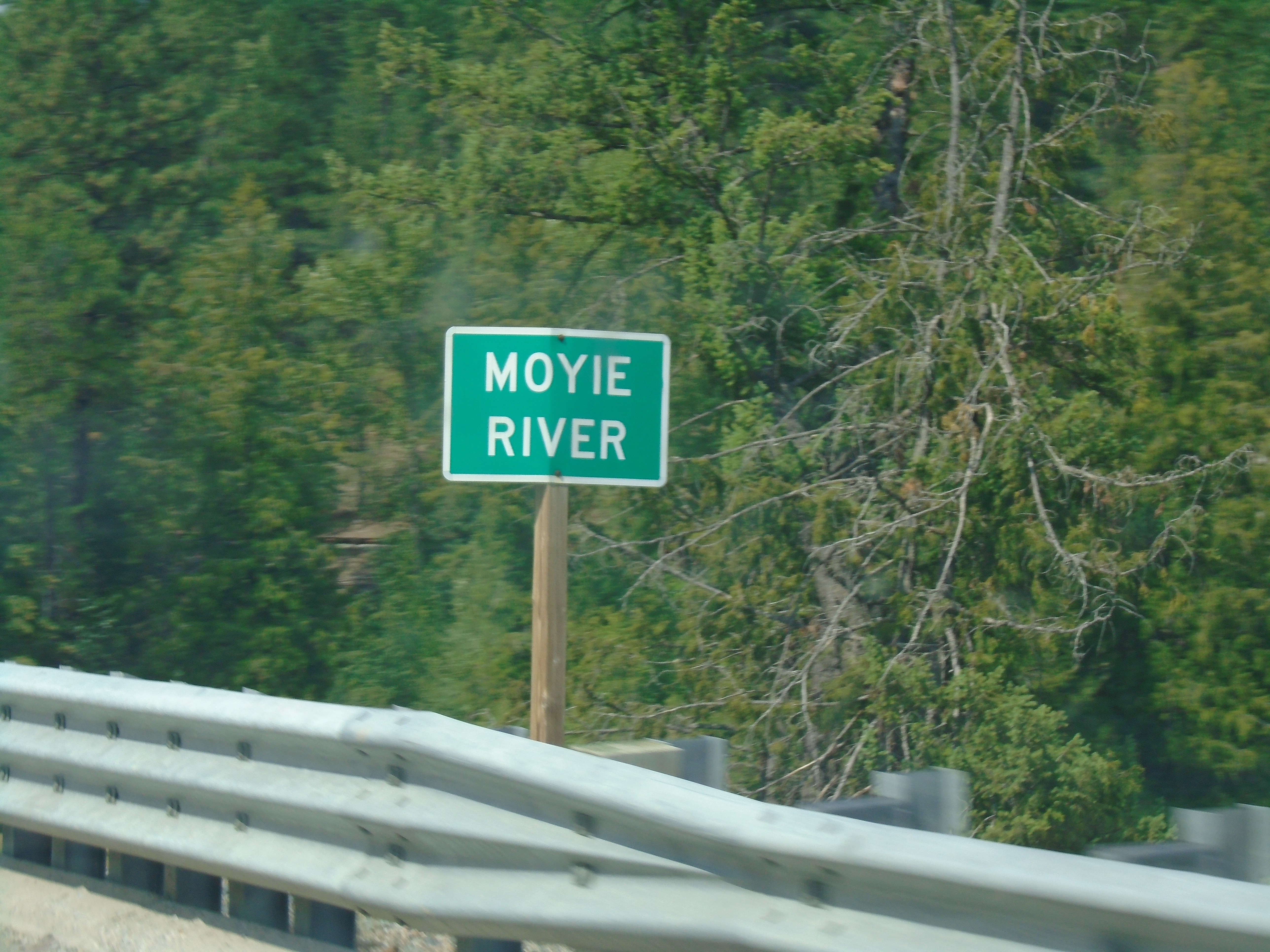
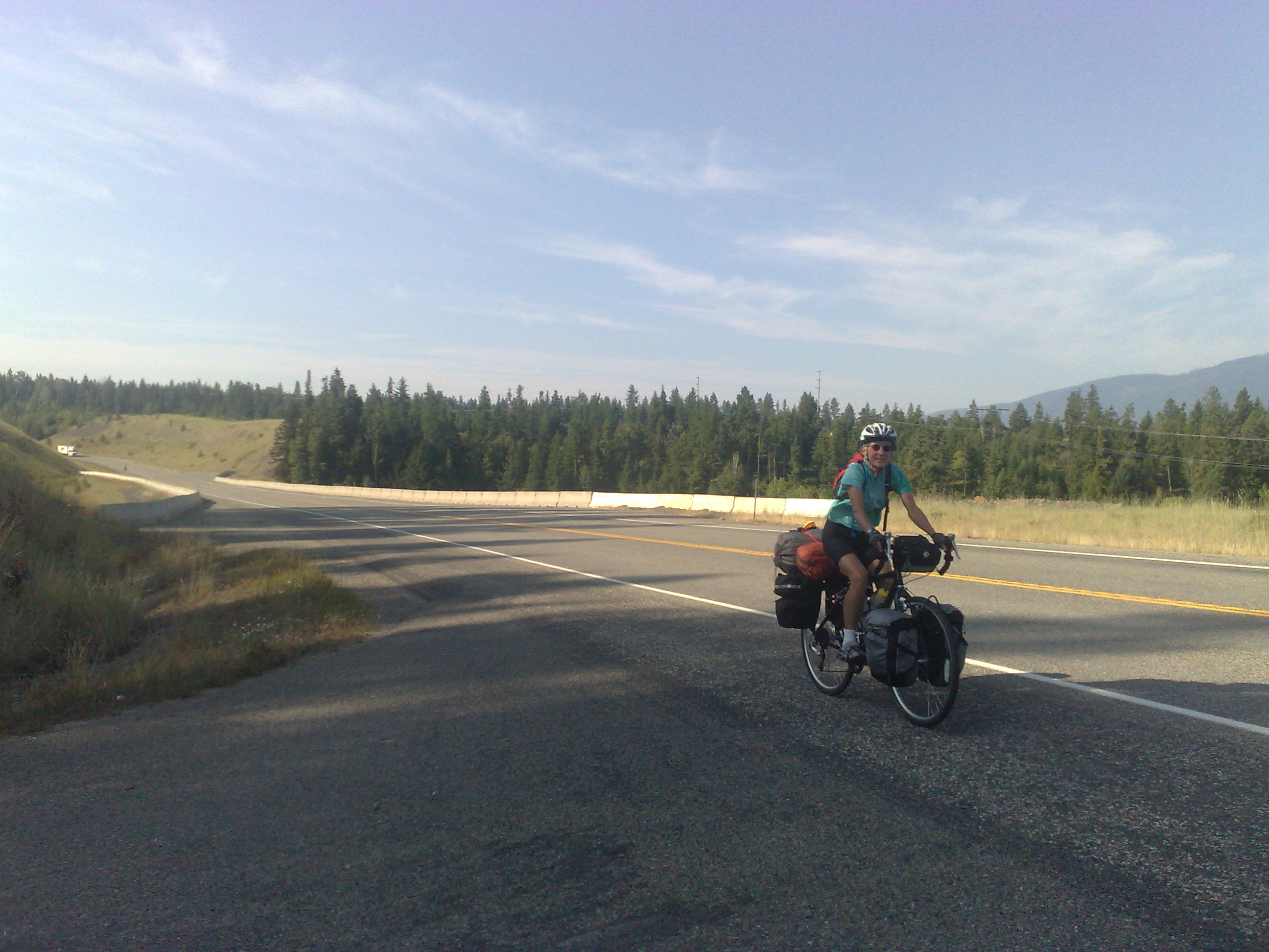
US-95 North - Moyie River
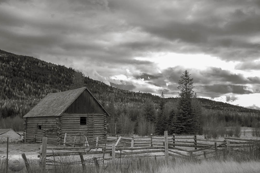
Log Barn Near Canadian Border
Little Red Riding Hood
01-09-2009

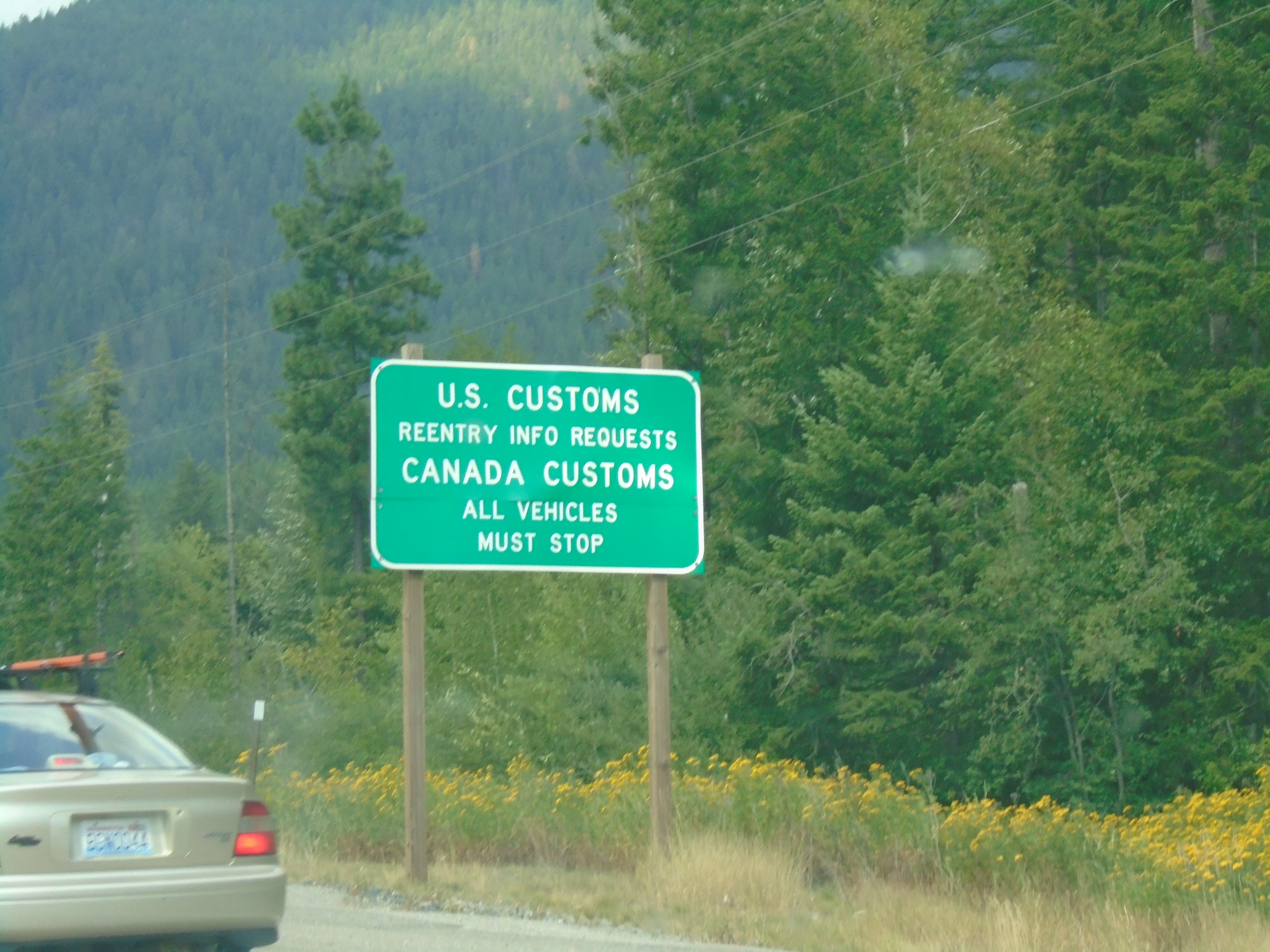
US-Canada Border - Eastport, ID/Kingsgate, BC

BC-95 North - Distance Marker For BC-3 West

BC-95 North - Port of Kingsgate

BC-95 North - Welcome To Canada

US-95 North - Eastport
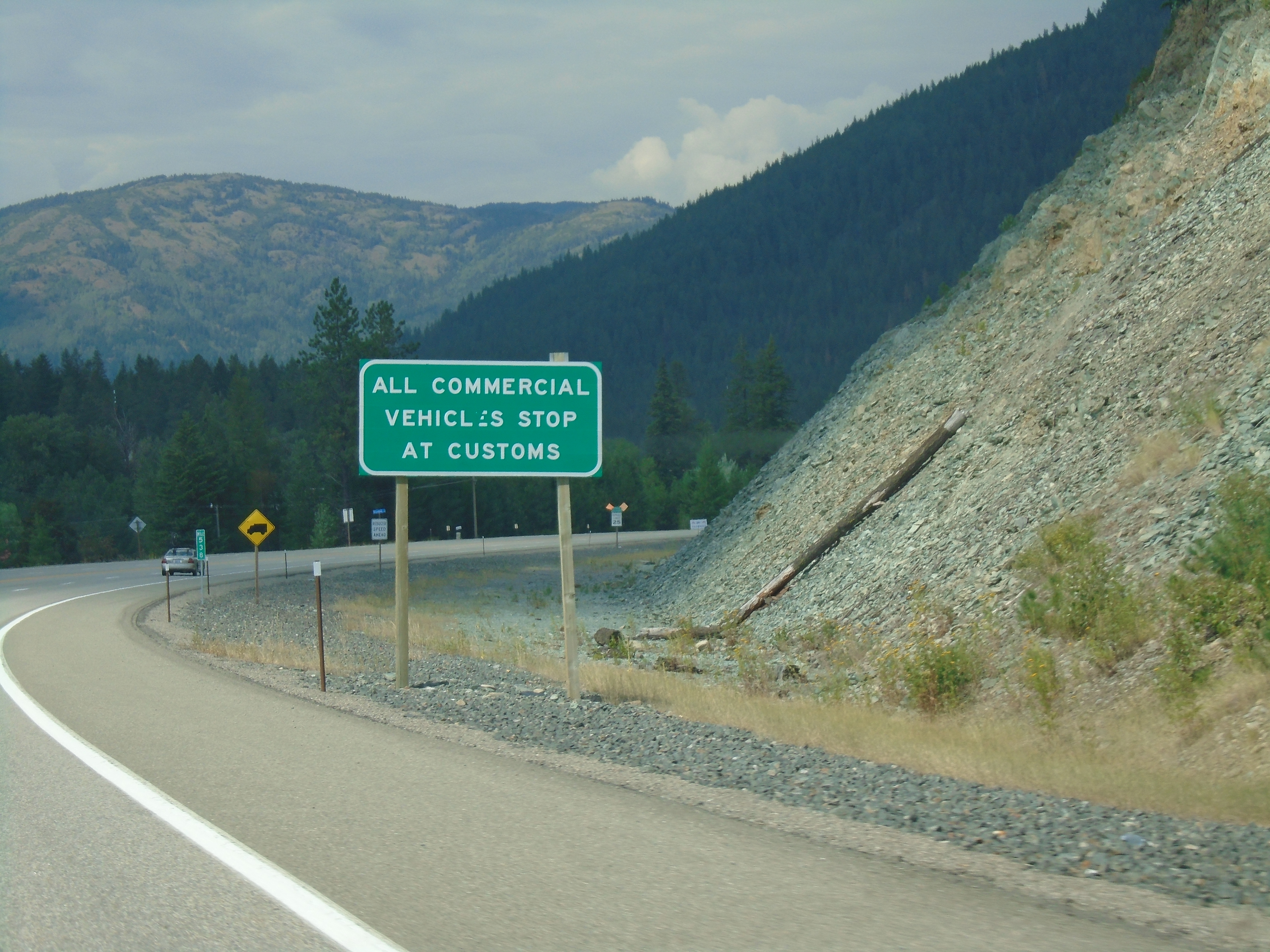
US-95 North - Commercial Vehicles Stop At Customs
US-95 North Approaching US-Canada Border
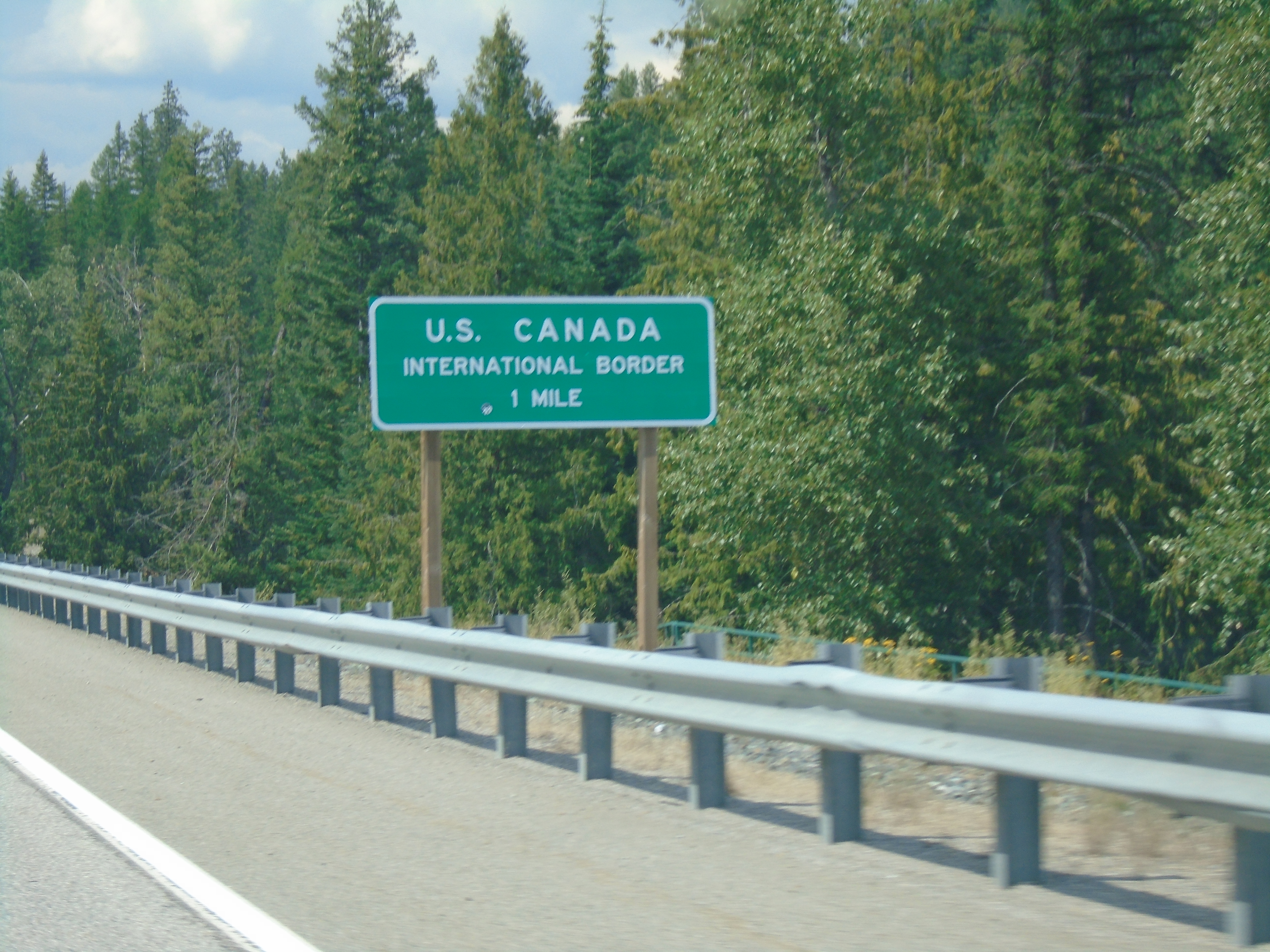
US-95 North - Approaching US-Canada International Border

Cooper Creek Falls, Idaho

Cooper Creek Falls, Idaho
IMG_8250.jpg
IMG_8248.jpg

ID-1 North - Distance Marker

US-95 North Approaching ID-1

US-95 North - Idaho Ports Of Entry Hours

Northern Idaho just below the BC border.

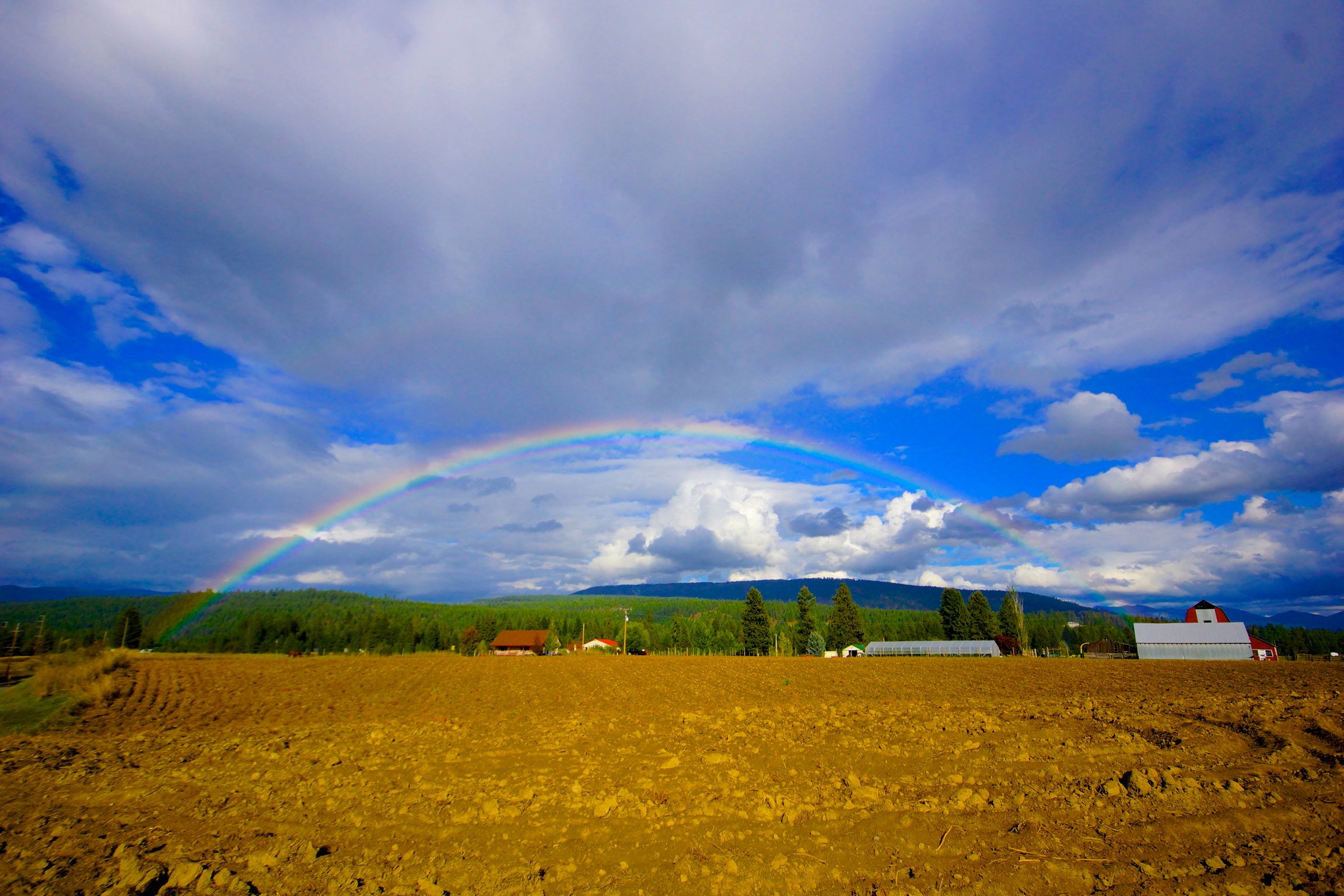
Field and Farnum Peak, Copeland, Idaho
Mapa de Queen Mountain, Idaho, EE. UU.
Buscar otro lugar
Lugares cercanos
Fortyniner Ln, Bonners Ferry, ID, EE. UU.
Meadow Creek Rd, Bonners Ferry, ID, EE. UU.
Robinson Lake, Idaho, EE. UU.
Giles Connection Rd, Bonners Ferry, ID, EE. UU.
Templeman Lake Rd, Bonners Ferry, ID, EE. UU.
Border Mountain, Idaho, EE. UU.
Spruce Lake, Idaho, EE. UU.
Eastport, ID, EE. UU.
Harvey Mountain, Idaho, EE. UU.
Fawn Lane Farms, Fawn Lane, Bonners Ferry, ID, EE. UU.
Bane Ln, Bonners Ferry, ID, EE. UU.
Moyie Springs, Idaho, EE. UU.
Quiet Place, Quiet Pl, Idaho, EE. UU.
34 Arrowleaf Dr, Bonners Ferry, ID, EE. UU.
French Point Dr, Bonners Ferry, ID, EE. UU.
US-95, Bonners Ferry, ID, EE. UU.
Katka Rd, Bonners Ferry, ID, EE. UU.
District 5 Rd, Bonners Ferry, ID, EE. UU.
Canuck Peak, Montana, EE. UU.
Farm to Market Rd, Bonners Ferry, ID, EE. UU.
Búsquedas recientes
- Horas de salida y puesta de sol de Red Dog Mine, AK, USA
- Horas de salida y puesta de sol de Am Bahnhof, Am bhf, Borken, Germany
- Horas de salida y puesta de sol de 4th St E, Sonoma, CA, EE. UU.
- Horas de salida y puesta de sol de Oakland Ave, Williamsport, PA, EE. UU.
- Horas de salida y puesta de sol de Via Roma, Pieranica CR, Italia
- Horas de salida y puesta de sol de Torre del reloj, Grad, Dubrovnik (Ragusa), Croacia
- Horas de salida y puesta de sol de Trelew, Chubut, Argentina
- Horas de salida y puesta de sol de Hartfords Bluff Cir, Mt Pleasant, SC, EE. UU.
- Horas de salida y puesta de sol de Kita Ward, Kumamoto, Japón
- Horas de salida y puesta de sol de Pingtan Island, Pingtan County, Fuzhou, China