Horas de salida y puesta de sol de Ptarmigan Peak, Washington, EE. UU.
Location: Estados Unidos > Washington > Condado de Okanogan >
Zona horaria:
America/Los_Angeles
Hora local:
2025-06-20 07:54:44
Longitud:
-120.5320517
Latitud:
48.8659725
Salida de sol de hoy:
04:58:21 AM
Puesta de sol de hoy:
09:09:26 PM
La duración del día hoy:
16h 11m 5s
Salida de sol de mañana:
04:58:35 AM
Puesta de sol de mañana:
09:09:38 PM
La duración del día mañana:
16h 11m 3s
Mostrar todas las fechas
| Fecha | Salida de sol | Puesta de sol | Duración del día |
|---|---|---|---|
| 01/01/2025 | 07:55:20 AM | 04:17:22 PM | 8h 22m 2s |
| 02/01/2025 | 07:55:11 AM | 04:18:26 PM | 8h 23m 15s |
| 03/01/2025 | 07:55:00 AM | 04:19:31 PM | 8h 24m 31s |
| 04/01/2025 | 07:54:46 AM | 04:20:39 PM | 8h 25m 53s |
| 05/01/2025 | 07:54:29 AM | 04:21:48 PM | 8h 27m 19s |
| 06/01/2025 | 07:54:09 AM | 04:23:00 PM | 8h 28m 51s |
| 07/01/2025 | 07:53:46 AM | 04:24:14 PM | 8h 30m 28s |
| 08/01/2025 | 07:53:20 AM | 04:25:29 PM | 8h 32m 9s |
| 09/01/2025 | 07:52:51 AM | 04:26:46 PM | 8h 33m 55s |
| 10/01/2025 | 07:52:19 AM | 04:28:05 PM | 8h 35m 46s |
| 11/01/2025 | 07:51:45 AM | 04:29:26 PM | 8h 37m 41s |
| 12/01/2025 | 07:51:07 AM | 04:30:48 PM | 8h 39m 41s |
| 13/01/2025 | 07:50:27 AM | 04:32:11 PM | 8h 41m 44s |
| 14/01/2025 | 07:49:44 AM | 04:33:36 PM | 8h 43m 52s |
| 15/01/2025 | 07:48:59 AM | 04:35:03 PM | 8h 46m 4s |
| 16/01/2025 | 07:48:11 AM | 04:36:30 PM | 8h 48m 19s |
| 17/01/2025 | 07:47:20 AM | 04:37:59 PM | 8h 50m 39s |
| 18/01/2025 | 07:46:27 AM | 04:39:29 PM | 8h 53m 2s |
| 19/01/2025 | 07:45:31 AM | 04:40:59 PM | 8h 55m 28s |
| 20/01/2025 | 07:44:33 AM | 04:42:31 PM | 8h 57m 58s |
| 21/01/2025 | 07:43:32 AM | 04:44:04 PM | 9h 0m 32s |
| 22/01/2025 | 07:42:29 AM | 04:45:37 PM | 9h 3m 8s |
| 23/01/2025 | 07:41:23 AM | 04:47:11 PM | 9h 5m 48s |
| 24/01/2025 | 07:40:16 AM | 04:48:46 PM | 9h 8m 30s |
| 25/01/2025 | 07:39:06 AM | 04:50:22 PM | 9h 11m 16s |
| 26/01/2025 | 07:37:54 AM | 04:51:58 PM | 9h 14m 4s |
| 27/01/2025 | 07:36:39 AM | 04:53:35 PM | 9h 16m 56s |
| 28/01/2025 | 07:35:23 AM | 04:55:12 PM | 9h 19m 49s |
| 29/01/2025 | 07:34:05 AM | 04:56:49 PM | 9h 22m 44s |
| 30/01/2025 | 07:32:44 AM | 04:58:27 PM | 9h 25m 43s |
| 31/01/2025 | 07:31:22 AM | 05:00:06 PM | 9h 28m 44s |
| 01/02/2025 | 07:29:58 AM | 05:01:44 PM | 9h 31m 46s |
| 02/02/2025 | 07:28:32 AM | 05:03:23 PM | 9h 34m 51s |
| 03/02/2025 | 07:27:04 AM | 05:05:02 PM | 9h 37m 58s |
| 04/02/2025 | 07:25:34 AM | 05:06:41 PM | 9h 41m 7s |
| 05/02/2025 | 07:24:03 AM | 05:08:20 PM | 9h 44m 17s |
| 06/02/2025 | 07:22:30 AM | 05:09:59 PM | 9h 47m 29s |
| 07/02/2025 | 07:20:55 AM | 05:11:38 PM | 9h 50m 43s |
| 08/02/2025 | 07:19:19 AM | 05:13:17 PM | 9h 53m 58s |
| 09/02/2025 | 07:17:41 AM | 05:14:57 PM | 9h 57m 16s |
| 10/02/2025 | 07:16:02 AM | 05:16:36 PM | 10h 0m 34s |
| 11/02/2025 | 07:14:21 AM | 05:18:15 PM | 10h 3m 54s |
| 12/02/2025 | 07:12:39 AM | 05:19:54 PM | 10h 7m 15s |
| 13/02/2025 | 07:10:56 AM | 05:21:33 PM | 10h 10m 37s |
| 14/02/2025 | 07:09:11 AM | 05:23:11 PM | 10h 14m 0s |
| 15/02/2025 | 07:07:26 AM | 05:24:50 PM | 10h 17m 24s |
| 16/02/2025 | 07:05:38 AM | 05:26:28 PM | 10h 20m 50s |
| 17/02/2025 | 07:03:50 AM | 05:28:06 PM | 10h 24m 16s |
| 18/02/2025 | 07:02:01 AM | 05:29:44 PM | 10h 27m 43s |
| 19/02/2025 | 07:00:10 AM | 05:31:22 PM | 10h 31m 12s |
| 20/02/2025 | 06:58:19 AM | 05:32:59 PM | 10h 34m 40s |
| 21/02/2025 | 06:56:26 AM | 05:34:36 PM | 10h 38m 10s |
| 22/02/2025 | 06:54:32 AM | 05:36:13 PM | 10h 41m 41s |
| 23/02/2025 | 06:52:38 AM | 05:37:50 PM | 10h 45m 12s |
| 24/02/2025 | 06:50:43 AM | 05:39:26 PM | 10h 48m 43s |
| 25/02/2025 | 06:48:46 AM | 05:41:02 PM | 10h 52m 16s |
| 26/02/2025 | 06:46:49 AM | 05:42:38 PM | 10h 55m 49s |
| 27/02/2025 | 06:44:52 AM | 05:44:13 PM | 10h 59m 21s |
| 28/02/2025 | 06:42:53 AM | 05:45:49 PM | 11h 2m 56s |
| 01/03/2025 | 06:40:54 AM | 05:47:24 PM | 11h 6m 30s |
| 02/03/2025 | 06:38:54 AM | 05:48:58 PM | 11h 10m 4s |
| 03/03/2025 | 06:36:53 AM | 05:50:33 PM | 11h 13m 40s |
| 04/03/2025 | 06:34:52 AM | 05:52:07 PM | 11h 17m 15s |
| 05/03/2025 | 06:32:50 AM | 05:53:41 PM | 11h 20m 51s |
| 06/03/2025 | 06:30:48 AM | 05:55:14 PM | 11h 24m 26s |
| 07/03/2025 | 06:28:45 AM | 05:56:48 PM | 11h 28m 3s |
| 08/03/2025 | 06:26:42 AM | 05:58:21 PM | 11h 31m 39s |
| 09/03/2025 | 07:24:43 AM | 06:59:50 PM | 11h 35m 7s |
| 10/03/2025 | 07:22:39 AM | 07:01:23 PM | 11h 38m 44s |
| 11/03/2025 | 07:20:34 AM | 07:02:55 PM | 11h 42m 21s |
| 12/03/2025 | 07:18:30 AM | 07:04:27 PM | 11h 45m 57s |
| 13/03/2025 | 07:16:24 AM | 07:05:59 PM | 11h 49m 35s |
| 14/03/2025 | 07:14:19 AM | 07:07:31 PM | 11h 53m 12s |
| 15/03/2025 | 07:12:13 AM | 07:09:02 PM | 11h 56m 49s |
| 16/03/2025 | 07:10:08 AM | 07:10:34 PM | 12h 0m 26s |
| 17/03/2025 | 07:08:02 AM | 07:12:05 PM | 12h 4m 3s |
| 18/03/2025 | 07:05:55 AM | 07:13:36 PM | 12h 7m 41s |
| 19/03/2025 | 07:03:49 AM | 07:15:07 PM | 12h 11m 18s |
| 20/03/2025 | 07:01:43 AM | 07:16:38 PM | 12h 14m 55s |
| 21/03/2025 | 06:59:36 AM | 07:18:08 PM | 12h 18m 32s |
| 22/03/2025 | 06:57:30 AM | 07:19:39 PM | 12h 22m 9s |
| 23/03/2025 | 06:55:23 AM | 07:21:09 PM | 12h 25m 46s |
| 24/03/2025 | 06:53:17 AM | 07:22:40 PM | 12h 29m 23s |
| 25/03/2025 | 06:51:10 AM | 07:24:10 PM | 12h 33m 0s |
| 26/03/2025 | 06:49:04 AM | 07:25:40 PM | 12h 36m 36s |
| 27/03/2025 | 06:46:58 AM | 07:27:10 PM | 12h 40m 12s |
| 28/03/2025 | 06:44:52 AM | 07:28:40 PM | 12h 43m 48s |
| 29/03/2025 | 06:42:46 AM | 07:30:09 PM | 12h 47m 23s |
| 30/03/2025 | 06:40:41 AM | 07:31:39 PM | 12h 50m 58s |
| 31/03/2025 | 06:38:35 AM | 07:33:09 PM | 12h 54m 34s |
| 01/04/2025 | 06:36:30 AM | 07:34:39 PM | 12h 58m 9s |
| 02/04/2025 | 06:34:25 AM | 07:36:08 PM | 13h 1m 43s |
| 03/04/2025 | 06:32:21 AM | 07:37:38 PM | 13h 5m 17s |
| 04/04/2025 | 06:30:17 AM | 07:39:08 PM | 13h 8m 51s |
| 05/04/2025 | 06:28:13 AM | 07:40:37 PM | 13h 12m 24s |
| 06/04/2025 | 06:26:10 AM | 07:42:07 PM | 13h 15m 57s |
| 07/04/2025 | 06:24:08 AM | 07:43:36 PM | 13h 19m 28s |
| 08/04/2025 | 06:22:05 AM | 07:45:06 PM | 13h 23m 1s |
| 09/04/2025 | 06:20:04 AM | 07:46:35 PM | 13h 26m 31s |
| 10/04/2025 | 06:18:03 AM | 07:48:05 PM | 13h 30m 2s |
| 11/04/2025 | 06:16:02 AM | 07:49:34 PM | 13h 33m 32s |
| 12/04/2025 | 06:14:03 AM | 07:51:04 PM | 13h 37m 1s |
| 13/04/2025 | 06:12:04 AM | 07:52:33 PM | 13h 40m 29s |
| 14/04/2025 | 06:10:05 AM | 07:54:03 PM | 13h 43m 58s |
| 15/04/2025 | 06:08:07 AM | 07:55:32 PM | 13h 47m 25s |
| 16/04/2025 | 06:06:11 AM | 07:57:02 PM | 13h 50m 51s |
| 17/04/2025 | 06:04:15 AM | 07:58:31 PM | 13h 54m 16s |
| 18/04/2025 | 06:02:19 AM | 08:00:00 PM | 13h 57m 41s |
| 19/04/2025 | 06:00:25 AM | 08:01:30 PM | 14h 1m 5s |
| 20/04/2025 | 05:58:32 AM | 08:02:59 PM | 14h 4m 27s |
| 21/04/2025 | 05:56:39 AM | 08:04:28 PM | 14h 7m 49s |
| 22/04/2025 | 05:54:48 AM | 08:05:57 PM | 14h 11m 9s |
| 23/04/2025 | 05:52:58 AM | 08:07:26 PM | 14h 14m 28s |
| 24/04/2025 | 05:51:08 AM | 08:08:55 PM | 14h 17m 47s |
| 25/04/2025 | 05:49:20 AM | 08:10:24 PM | 14h 21m 4s |
| 26/04/2025 | 05:47:33 AM | 08:11:52 PM | 14h 24m 19s |
| 27/04/2025 | 05:45:47 AM | 08:13:21 PM | 14h 27m 34s |
| 28/04/2025 | 05:44:03 AM | 08:14:49 PM | 14h 30m 46s |
| 29/04/2025 | 05:42:19 AM | 08:16:17 PM | 14h 33m 58s |
| 30/04/2025 | 05:40:37 AM | 08:17:44 PM | 14h 37m 7s |
| 01/05/2025 | 05:38:57 AM | 08:19:12 PM | 14h 40m 15s |
| 02/05/2025 | 05:37:18 AM | 08:20:39 PM | 14h 43m 21s |
| 03/05/2025 | 05:35:40 AM | 08:22:06 PM | 14h 46m 26s |
| 04/05/2025 | 05:34:03 AM | 08:23:32 PM | 14h 49m 29s |
| 05/05/2025 | 05:32:29 AM | 08:24:58 PM | 14h 52m 29s |
| 06/05/2025 | 05:30:55 AM | 08:26:24 PM | 14h 55m 29s |
| 07/05/2025 | 05:29:24 AM | 08:27:49 PM | 14h 58m 25s |
| 08/05/2025 | 05:27:54 AM | 08:29:13 PM | 15h 1m 19s |
| 09/05/2025 | 05:26:26 AM | 08:30:37 PM | 15h 4m 11s |
| 10/05/2025 | 05:24:59 AM | 08:32:01 PM | 15h 7m 2s |
| 11/05/2025 | 05:23:34 AM | 08:33:24 PM | 15h 9m 50s |
| 12/05/2025 | 05:22:12 AM | 08:34:46 PM | 15h 12m 34s |
| 13/05/2025 | 05:20:50 AM | 08:36:07 PM | 15h 15m 17s |
| 14/05/2025 | 05:19:31 AM | 08:37:28 PM | 15h 17m 57s |
| 15/05/2025 | 05:18:14 AM | 08:38:47 PM | 15h 20m 33s |
| 16/05/2025 | 05:16:59 AM | 08:40:06 PM | 15h 23m 7s |
| 17/05/2025 | 05:15:46 AM | 08:41:24 PM | 15h 25m 38s |
| 18/05/2025 | 05:14:35 AM | 08:42:41 PM | 15h 28m 6s |
| 19/05/2025 | 05:13:26 AM | 08:43:57 PM | 15h 30m 31s |
| 20/05/2025 | 05:12:19 AM | 08:45:12 PM | 15h 32m 53s |
| 21/05/2025 | 05:11:15 AM | 08:46:26 PM | 15h 35m 11s |
| 22/05/2025 | 05:10:12 AM | 08:47:38 PM | 15h 37m 26s |
| 23/05/2025 | 05:09:12 AM | 08:48:49 PM | 15h 39m 37s |
| 24/05/2025 | 05:08:15 AM | 08:49:59 PM | 15h 41m 44s |
| 25/05/2025 | 05:07:19 AM | 08:51:08 PM | 15h 43m 49s |
| 26/05/2025 | 05:06:26 AM | 08:52:15 PM | 15h 45m 49s |
| 27/05/2025 | 05:05:36 AM | 08:53:20 PM | 15h 47m 44s |
| 28/05/2025 | 05:04:48 AM | 08:54:24 PM | 15h 49m 36s |
| 29/05/2025 | 05:04:02 AM | 08:55:27 PM | 15h 51m 25s |
| 30/05/2025 | 05:03:19 AM | 08:56:27 PM | 15h 53m 8s |
| 31/05/2025 | 05:02:39 AM | 08:57:26 PM | 15h 54m 47s |
| 01/06/2025 | 05:02:01 AM | 08:58:23 PM | 15h 56m 22s |
| 02/06/2025 | 05:01:25 AM | 08:59:19 PM | 15h 57m 54s |
| 03/06/2025 | 05:00:53 AM | 09:00:12 PM | 15h 59m 19s |
| 04/06/2025 | 05:00:23 AM | 09:01:03 PM | 16h 0m 40s |
| 05/06/2025 | 04:59:55 AM | 09:01:53 PM | 16h 1m 58s |
| 06/06/2025 | 04:59:31 AM | 09:02:40 PM | 16h 3m 9s |
| 07/06/2025 | 04:59:09 AM | 09:03:25 PM | 16h 4m 16s |
| 08/06/2025 | 04:58:49 AM | 09:04:08 PM | 16h 5m 19s |
| 09/06/2025 | 04:58:33 AM | 09:04:48 PM | 16h 6m 15s |
| 10/06/2025 | 04:58:19 AM | 09:05:27 PM | 16h 7m 8s |
| 11/06/2025 | 04:58:08 AM | 09:06:03 PM | 16h 7m 55s |
| 12/06/2025 | 04:57:59 AM | 09:06:36 PM | 16h 8m 37s |
| 13/06/2025 | 04:57:54 AM | 09:07:07 PM | 16h 9m 13s |
| 14/06/2025 | 04:57:51 AM | 09:07:36 PM | 16h 9m 45s |
| 15/06/2025 | 04:57:51 AM | 09:08:02 PM | 16h 10m 11s |
| 16/06/2025 | 04:57:53 AM | 09:08:25 PM | 16h 10m 32s |
| 17/06/2025 | 04:57:58 AM | 09:08:46 PM | 16h 10m 48s |
| 18/06/2025 | 04:58:06 AM | 09:09:05 PM | 16h 10m 59s |
| 19/06/2025 | 04:58:17 AM | 09:09:20 PM | 16h 11m 3s |
| 20/06/2025 | 04:58:30 AM | 09:09:33 PM | 16h 11m 3s |
| 21/06/2025 | 04:58:46 AM | 09:09:44 PM | 16h 10m 58s |
| 22/06/2025 | 04:59:04 AM | 09:09:51 PM | 16h 10m 47s |
| 23/06/2025 | 04:59:25 AM | 09:09:56 PM | 16h 10m 31s |
| 24/06/2025 | 04:59:48 AM | 09:09:58 PM | 16h 10m 10s |
| 25/06/2025 | 05:00:14 AM | 09:09:58 PM | 16h 9m 44s |
| 26/06/2025 | 05:00:42 AM | 09:09:54 PM | 16h 9m 12s |
| 27/06/2025 | 05:01:13 AM | 09:09:48 PM | 16h 8m 35s |
| 28/06/2025 | 05:01:46 AM | 09:09:39 PM | 16h 7m 53s |
| 29/06/2025 | 05:02:22 AM | 09:09:27 PM | 16h 7m 5s |
| 30/06/2025 | 05:02:59 AM | 09:09:13 PM | 16h 6m 14s |
| 01/07/2025 | 05:03:39 AM | 09:08:55 PM | 16h 5m 16s |
| 02/07/2025 | 05:04:21 AM | 09:08:35 PM | 16h 4m 14s |
| 03/07/2025 | 05:05:05 AM | 09:08:12 PM | 16h 3m 7s |
| 04/07/2025 | 05:05:52 AM | 09:07:47 PM | 16h 1m 55s |
| 05/07/2025 | 05:06:40 AM | 09:07:19 PM | 16h 0m 39s |
| 06/07/2025 | 05:07:30 AM | 09:06:48 PM | 15h 59m 18s |
| 07/07/2025 | 05:08:22 AM | 09:06:14 PM | 15h 57m 52s |
| 08/07/2025 | 05:09:16 AM | 09:05:38 PM | 15h 56m 22s |
| 09/07/2025 | 05:10:12 AM | 09:04:59 PM | 15h 54m 47s |
| 10/07/2025 | 05:11:09 AM | 09:04:18 PM | 15h 53m 9s |
| 11/07/2025 | 05:12:08 AM | 09:03:33 PM | 15h 51m 25s |
| 12/07/2025 | 05:13:09 AM | 09:02:47 PM | 15h 49m 38s |
| 13/07/2025 | 05:14:11 AM | 09:01:58 PM | 15h 47m 47s |
| 14/07/2025 | 05:15:15 AM | 09:01:06 PM | 15h 45m 51s |
| 15/07/2025 | 05:16:20 AM | 09:00:12 PM | 15h 43m 52s |
| 16/07/2025 | 05:17:26 AM | 08:59:16 PM | 15h 41m 50s |
| 17/07/2025 | 05:18:34 AM | 08:58:17 PM | 15h 39m 43s |
| 18/07/2025 | 05:19:43 AM | 08:57:16 PM | 15h 37m 33s |
| 19/07/2025 | 05:20:53 AM | 08:56:12 PM | 15h 35m 19s |
| 20/07/2025 | 05:22:05 AM | 08:55:06 PM | 15h 33m 1s |
| 21/07/2025 | 05:23:17 AM | 08:53:59 PM | 15h 30m 42s |
| 22/07/2025 | 05:24:30 AM | 08:52:48 PM | 15h 28m 18s |
| 23/07/2025 | 05:25:45 AM | 08:51:36 PM | 15h 25m 51s |
| 24/07/2025 | 05:27:00 AM | 08:50:22 PM | 15h 23m 22s |
| 25/07/2025 | 05:28:16 AM | 08:49:06 PM | 15h 20m 50s |
| 26/07/2025 | 05:29:33 AM | 08:47:47 PM | 15h 18m 14s |
| 27/07/2025 | 05:30:51 AM | 08:46:27 PM | 15h 15m 36s |
| 28/07/2025 | 05:32:09 AM | 08:45:05 PM | 15h 12m 56s |
| 29/07/2025 | 05:33:28 AM | 08:43:41 PM | 15h 10m 13s |
| 30/07/2025 | 05:34:48 AM | 08:42:15 PM | 15h 7m 27s |
| 31/07/2025 | 05:36:08 AM | 08:40:47 PM | 15h 4m 39s |
| 01/08/2025 | 05:37:28 AM | 08:39:18 PM | 15h 1m 50s |
| 02/08/2025 | 05:38:50 AM | 08:37:46 PM | 14h 58m 56s |
| 03/08/2025 | 05:40:11 AM | 08:36:14 PM | 14h 56m 3s |
| 04/08/2025 | 05:41:33 AM | 08:34:39 PM | 14h 53m 6s |
| 05/08/2025 | 05:42:56 AM | 08:33:03 PM | 14h 50m 7s |
| 06/08/2025 | 05:44:19 AM | 08:31:26 PM | 14h 47m 7s |
| 07/08/2025 | 05:45:42 AM | 08:29:47 PM | 14h 44m 5s |
| 08/08/2025 | 05:47:05 AM | 08:28:06 PM | 14h 41m 1s |
| 09/08/2025 | 05:48:29 AM | 08:26:24 PM | 14h 37m 55s |
| 10/08/2025 | 05:49:53 AM | 08:24:41 PM | 14h 34m 48s |
| 11/08/2025 | 05:51:17 AM | 08:22:57 PM | 14h 31m 40s |
| 12/08/2025 | 05:52:41 AM | 08:21:11 PM | 14h 28m 30s |
| 13/08/2025 | 05:54:05 AM | 08:19:24 PM | 14h 25m 19s |
| 14/08/2025 | 05:55:30 AM | 08:17:36 PM | 14h 22m 6s |
| 15/08/2025 | 05:56:54 AM | 08:15:46 PM | 14h 18m 52s |
| 16/08/2025 | 05:58:19 AM | 08:13:56 PM | 14h 15m 37s |
| 17/08/2025 | 05:59:44 AM | 08:12:04 PM | 14h 12m 20s |
| 18/08/2025 | 06:01:09 AM | 08:10:11 PM | 14h 9m 2s |
| 19/08/2025 | 06:02:33 AM | 08:08:18 PM | 14h 5m 45s |
| 20/08/2025 | 06:03:58 AM | 08:06:23 PM | 14h 2m 25s |
| 21/08/2025 | 06:05:23 AM | 08:04:28 PM | 13h 59m 5s |
| 22/08/2025 | 06:06:48 AM | 08:02:31 PM | 13h 55m 43s |
| 23/08/2025 | 06:08:13 AM | 08:00:34 PM | 13h 52m 21s |
| 24/08/2025 | 06:09:38 AM | 07:58:36 PM | 13h 48m 58s |
| 25/08/2025 | 06:11:03 AM | 07:56:37 PM | 13h 45m 34s |
| 26/08/2025 | 06:12:28 AM | 07:54:37 PM | 13h 42m 9s |
| 27/08/2025 | 06:13:53 AM | 07:52:37 PM | 13h 38m 44s |
| 28/08/2025 | 06:15:18 AM | 07:50:36 PM | 13h 35m 18s |
| 29/08/2025 | 06:16:43 AM | 07:48:34 PM | 13h 31m 51s |
| 30/08/2025 | 06:18:07 AM | 07:46:31 PM | 13h 28m 24s |
| 31/08/2025 | 06:19:32 AM | 07:44:28 PM | 13h 24m 56s |
| 01/09/2025 | 06:20:57 AM | 07:42:25 PM | 13h 21m 28s |
| 02/09/2025 | 06:22:22 AM | 07:40:21 PM | 13h 17m 59s |
| 03/09/2025 | 06:23:47 AM | 07:38:16 PM | 13h 14m 29s |
| 04/09/2025 | 06:25:11 AM | 07:36:11 PM | 13h 11m 0s |
| 05/09/2025 | 06:26:36 AM | 07:34:06 PM | 13h 7m 30s |
| 06/09/2025 | 06:28:01 AM | 07:32:00 PM | 13h 3m 59s |
| 07/09/2025 | 06:29:26 AM | 07:29:54 PM | 13h 0m 28s |
| 08/09/2025 | 06:30:51 AM | 07:27:47 PM | 12h 56m 56s |
| 09/09/2025 | 06:32:15 AM | 07:25:41 PM | 12h 53m 26s |
| 10/09/2025 | 06:33:40 AM | 07:23:34 PM | 12h 49m 54s |
| 11/09/2025 | 06:35:05 AM | 07:21:26 PM | 12h 46m 21s |
| 12/09/2025 | 06:36:30 AM | 07:19:19 PM | 12h 42m 49s |
| 13/09/2025 | 06:37:55 AM | 07:17:11 PM | 12h 39m 16s |
| 14/09/2025 | 06:39:20 AM | 07:15:03 PM | 12h 35m 43s |
| 15/09/2025 | 06:40:45 AM | 07:12:55 PM | 12h 32m 10s |
| 16/09/2025 | 06:42:10 AM | 07:10:47 PM | 12h 28m 37s |
| 17/09/2025 | 06:43:35 AM | 07:08:39 PM | 12h 25m 4s |
| 18/09/2025 | 06:45:01 AM | 07:06:31 PM | 12h 21m 30s |
| 19/09/2025 | 06:46:26 AM | 07:04:23 PM | 12h 17m 57s |
| 20/09/2025 | 06:47:52 AM | 07:02:14 PM | 12h 14m 22s |
| 21/09/2025 | 06:49:18 AM | 07:00:06 PM | 12h 10m 48s |
| 22/09/2025 | 06:50:44 AM | 06:57:58 PM | 12h 7m 14s |
| 23/09/2025 | 06:52:10 AM | 06:55:50 PM | 12h 3m 40s |
| 24/09/2025 | 06:53:36 AM | 06:53:43 PM | 12h 0m 7s |
| 25/09/2025 | 06:55:02 AM | 06:51:35 PM | 11h 56m 33s |
| 26/09/2025 | 06:56:29 AM | 06:49:28 PM | 11h 52m 59s |
| 27/09/2025 | 06:57:56 AM | 06:47:21 PM | 11h 49m 25s |
| 28/09/2025 | 06:59:23 AM | 06:45:14 PM | 11h 45m 51s |
| 29/09/2025 | 07:00:50 AM | 06:43:07 PM | 11h 42m 17s |
| 30/09/2025 | 07:02:17 AM | 06:41:01 PM | 11h 38m 44s |
| 01/10/2025 | 07:03:45 AM | 06:38:55 PM | 11h 35m 10s |
| 02/10/2025 | 07:05:13 AM | 06:36:50 PM | 11h 31m 37s |
| 03/10/2025 | 07:06:41 AM | 06:34:45 PM | 11h 28m 4s |
| 04/10/2025 | 07:08:09 AM | 06:32:40 PM | 11h 24m 31s |
| 05/10/2025 | 07:09:38 AM | 06:30:36 PM | 11h 20m 58s |
| 06/10/2025 | 07:11:07 AM | 06:28:33 PM | 11h 17m 26s |
| 07/10/2025 | 07:12:36 AM | 06:26:30 PM | 11h 13m 54s |
| 08/10/2025 | 07:14:06 AM | 06:24:28 PM | 11h 10m 22s |
| 09/10/2025 | 07:15:36 AM | 06:22:26 PM | 11h 6m 50s |
| 10/10/2025 | 07:17:06 AM | 06:20:25 PM | 11h 3m 19s |
| 11/10/2025 | 07:18:36 AM | 06:18:24 PM | 10h 59m 48s |
| 12/10/2025 | 07:20:07 AM | 06:16:25 PM | 10h 56m 18s |
| 13/10/2025 | 07:21:38 AM | 06:14:26 PM | 10h 52m 48s |
| 14/10/2025 | 07:23:09 AM | 06:12:28 PM | 10h 49m 19s |
| 15/10/2025 | 07:24:41 AM | 06:10:31 PM | 10h 45m 50s |
| 16/10/2025 | 07:26:13 AM | 06:08:34 PM | 10h 42m 21s |
| 17/10/2025 | 07:27:45 AM | 06:06:39 PM | 10h 38m 54s |
| 18/10/2025 | 07:29:18 AM | 06:04:44 PM | 10h 35m 26s |
| 19/10/2025 | 07:30:50 AM | 06:02:51 PM | 10h 32m 1s |
| 20/10/2025 | 07:32:23 AM | 06:00:58 PM | 10h 28m 35s |
| 21/10/2025 | 07:33:57 AM | 05:59:07 PM | 10h 25m 10s |
| 22/10/2025 | 07:35:30 AM | 05:57:17 PM | 10h 21m 47s |
| 23/10/2025 | 07:37:04 AM | 05:55:28 PM | 10h 18m 24s |
| 24/10/2025 | 07:38:38 AM | 05:53:40 PM | 10h 15m 2s |
| 25/10/2025 | 07:40:13 AM | 05:51:53 PM | 10h 11m 40s |
| 26/10/2025 | 07:41:47 AM | 05:50:07 PM | 10h 8m 20s |
| 27/10/2025 | 07:43:22 AM | 05:48:23 PM | 10h 5m 1s |
| 28/10/2025 | 07:44:57 AM | 05:46:41 PM | 10h 1m 44s |
| 29/10/2025 | 07:46:32 AM | 05:44:59 PM | 9h 58m 27s |
| 30/10/2025 | 07:48:07 AM | 05:43:19 PM | 9h 55m 12s |
| 31/10/2025 | 07:49:42 AM | 05:41:41 PM | 9h 51m 59s |
| 01/11/2025 | 07:51:18 AM | 05:40:04 PM | 9h 48m 46s |
| 02/11/2025 | 06:52:57 AM | 04:38:25 PM | 9h 45m 28s |
| 03/11/2025 | 06:54:32 AM | 04:36:51 PM | 9h 42m 19s |
| 04/11/2025 | 06:56:08 AM | 04:35:19 PM | 9h 39m 11s |
| 05/11/2025 | 06:57:43 AM | 04:33:49 PM | 9h 36m 6s |
| 06/11/2025 | 06:59:18 AM | 04:32:20 PM | 9h 33m 2s |
| 07/11/2025 | 07:00:53 AM | 04:30:54 PM | 9h 30m 1s |
| 08/11/2025 | 07:02:28 AM | 04:29:29 PM | 9h 27m 1s |
| 09/11/2025 | 07:04:03 AM | 04:28:06 PM | 9h 24m 3s |
| 10/11/2025 | 07:05:37 AM | 04:26:45 PM | 9h 21m 8s |
| 11/11/2025 | 07:07:11 AM | 04:25:27 PM | 9h 18m 16s |
| 12/11/2025 | 07:08:45 AM | 04:24:10 PM | 9h 15m 25s |
| 13/11/2025 | 07:10:18 AM | 04:22:55 PM | 9h 12m 37s |
| 14/11/2025 | 07:11:51 AM | 04:21:43 PM | 9h 9m 52s |
| 15/11/2025 | 07:13:23 AM | 04:20:32 PM | 9h 7m 9s |
| 16/11/2025 | 07:14:55 AM | 04:19:24 PM | 9h 4m 29s |
| 17/11/2025 | 07:16:26 AM | 04:18:18 PM | 9h 1m 52s |
| 18/11/2025 | 07:17:56 AM | 04:17:15 PM | 8h 59m 19s |
| 19/11/2025 | 07:19:26 AM | 04:16:14 PM | 8h 56m 48s |
| 20/11/2025 | 07:20:55 AM | 04:15:16 PM | 8h 54m 21s |
| 21/11/2025 | 07:22:22 AM | 04:14:20 PM | 8h 51m 58s |
| 22/11/2025 | 07:23:49 AM | 04:13:26 PM | 8h 49m 37s |
| 23/11/2025 | 07:25:15 AM | 04:12:35 PM | 8h 47m 20s |
| 24/11/2025 | 07:26:40 AM | 04:11:47 PM | 8h 45m 7s |
| 25/11/2025 | 07:28:03 AM | 04:11:01 PM | 8h 42m 58s |
| 26/11/2025 | 07:29:26 AM | 04:10:18 PM | 8h 40m 52s |
| 27/11/2025 | 07:30:47 AM | 04:09:38 PM | 8h 38m 51s |
| 28/11/2025 | 07:32:06 AM | 04:09:01 PM | 8h 36m 55s |
| 29/11/2025 | 07:33:24 AM | 04:08:26 PM | 8h 35m 2s |
| 30/11/2025 | 07:34:41 AM | 04:07:54 PM | 8h 33m 13s |
| 01/12/2025 | 07:35:56 AM | 04:07:26 PM | 8h 31m 30s |
| 02/12/2025 | 07:37:09 AM | 04:07:00 PM | 8h 29m 51s |
| 03/12/2025 | 07:38:21 AM | 04:06:37 PM | 8h 28m 16s |
| 04/12/2025 | 07:39:30 AM | 04:06:17 PM | 8h 26m 47s |
| 05/12/2025 | 07:40:38 AM | 04:06:00 PM | 8h 25m 22s |
| 06/12/2025 | 07:41:44 AM | 04:05:46 PM | 8h 24m 2s |
| 07/12/2025 | 07:42:47 AM | 04:05:35 PM | 8h 22m 48s |
| 08/12/2025 | 07:43:49 AM | 04:05:27 PM | 8h 21m 38s |
| 09/12/2025 | 07:44:48 AM | 04:05:22 PM | 8h 20m 34s |
| 10/12/2025 | 07:45:45 AM | 04:05:20 PM | 8h 19m 35s |
| 11/12/2025 | 07:46:40 AM | 04:05:22 PM | 8h 18m 42s |
| 12/12/2025 | 07:47:32 AM | 04:05:26 PM | 8h 17m 54s |
| 13/12/2025 | 07:48:22 AM | 04:05:33 PM | 8h 17m 11s |
| 14/12/2025 | 07:49:09 AM | 04:05:44 PM | 8h 16m 35s |
| 15/12/2025 | 07:49:54 AM | 04:05:57 PM | 8h 16m 3s |
| 16/12/2025 | 07:50:36 AM | 04:06:14 PM | 8h 15m 38s |
| 17/12/2025 | 07:51:15 AM | 04:06:34 PM | 8h 15m 19s |
| 18/12/2025 | 07:51:52 AM | 04:06:56 PM | 8h 15m 4s |
| 19/12/2025 | 07:52:26 AM | 04:07:22 PM | 8h 14m 56s |
| 20/12/2025 | 07:52:57 AM | 04:07:50 PM | 8h 14m 53s |
| 21/12/2025 | 07:53:25 AM | 04:08:22 PM | 8h 14m 57s |
| 22/12/2025 | 07:53:50 AM | 04:08:56 PM | 8h 15m 6s |
| 23/12/2025 | 07:54:13 AM | 04:09:33 PM | 8h 15m 20s |
| 24/12/2025 | 07:54:32 AM | 04:10:13 PM | 8h 15m 41s |
| 25/12/2025 | 07:54:49 AM | 04:10:56 PM | 8h 16m 7s |
| 26/12/2025 | 07:55:03 AM | 04:11:41 PM | 8h 16m 38s |
| 27/12/2025 | 07:55:13 AM | 04:12:29 PM | 8h 17m 16s |
| 28/12/2025 | 07:55:21 AM | 04:13:20 PM | 8h 17m 59s |
| 29/12/2025 | 07:55:25 AM | 04:14:13 PM | 8h 18m 48s |
| 30/12/2025 | 07:55:27 AM | 04:15:09 PM | 8h 19m 42s |
| 31/12/2025 | 07:55:26 AM | 04:16:07 PM | 8h 20m 41s |
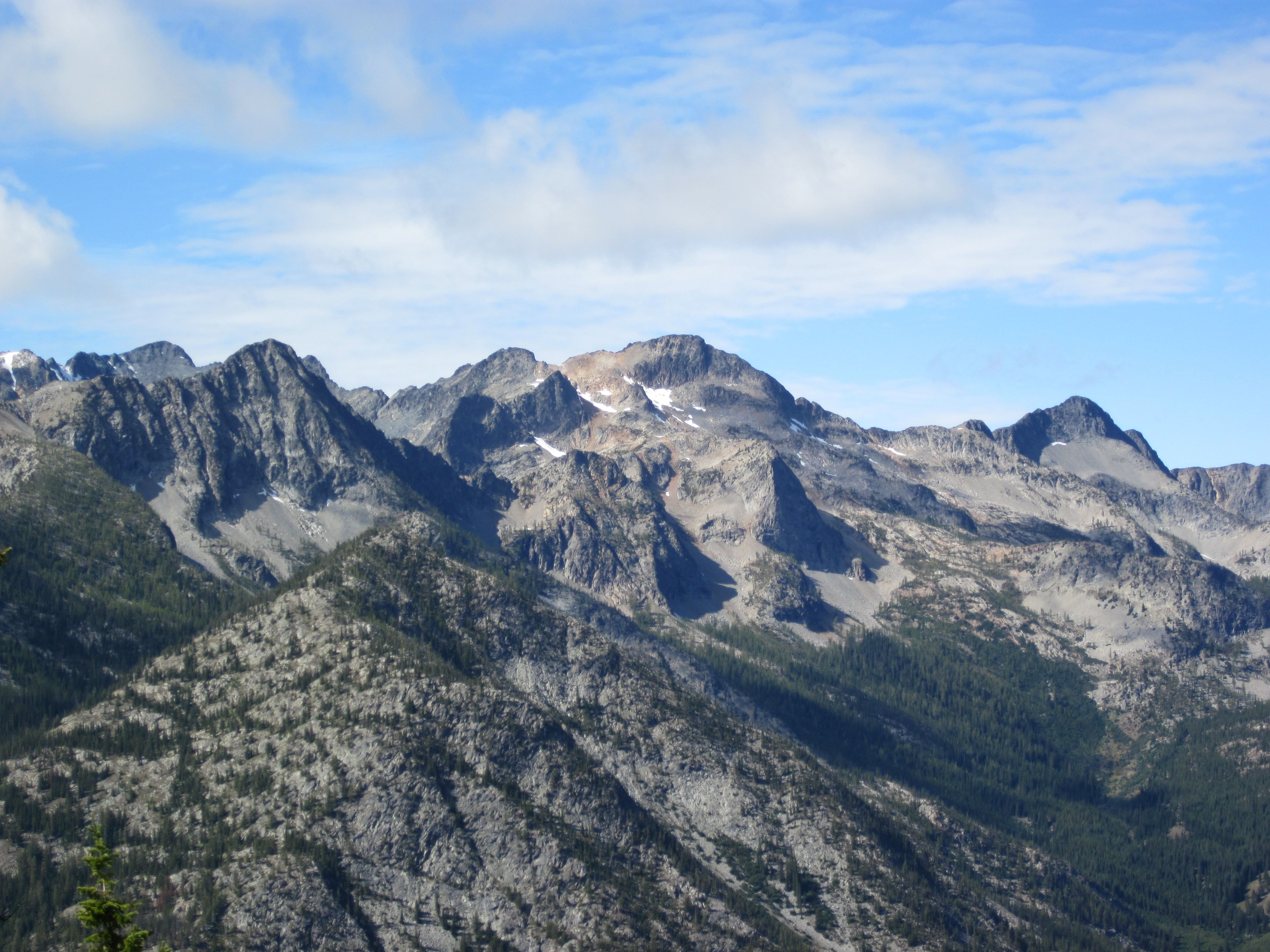
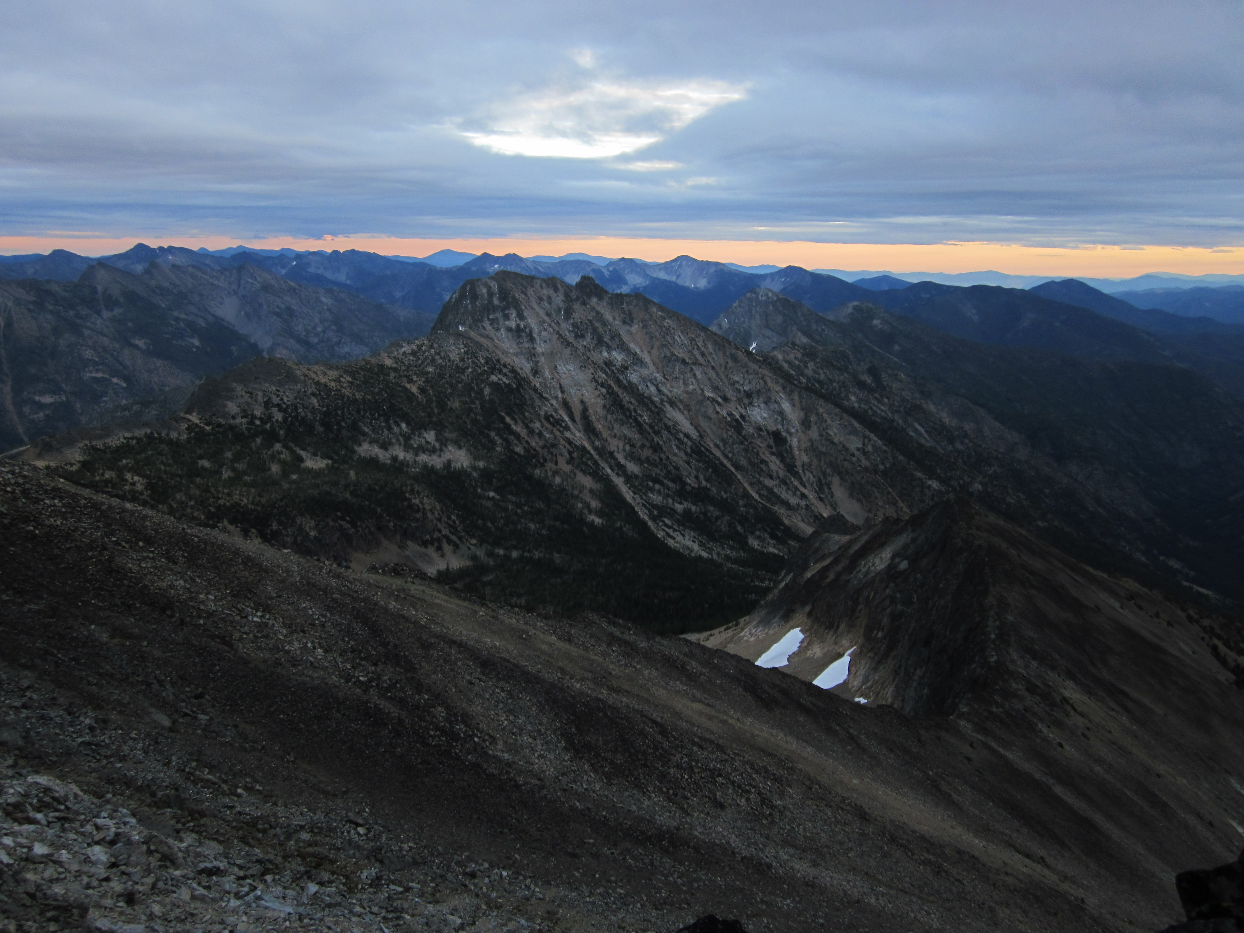
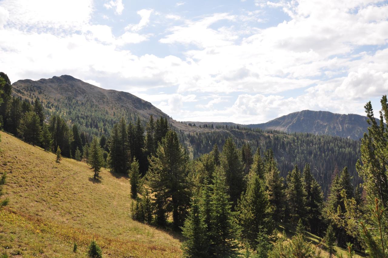
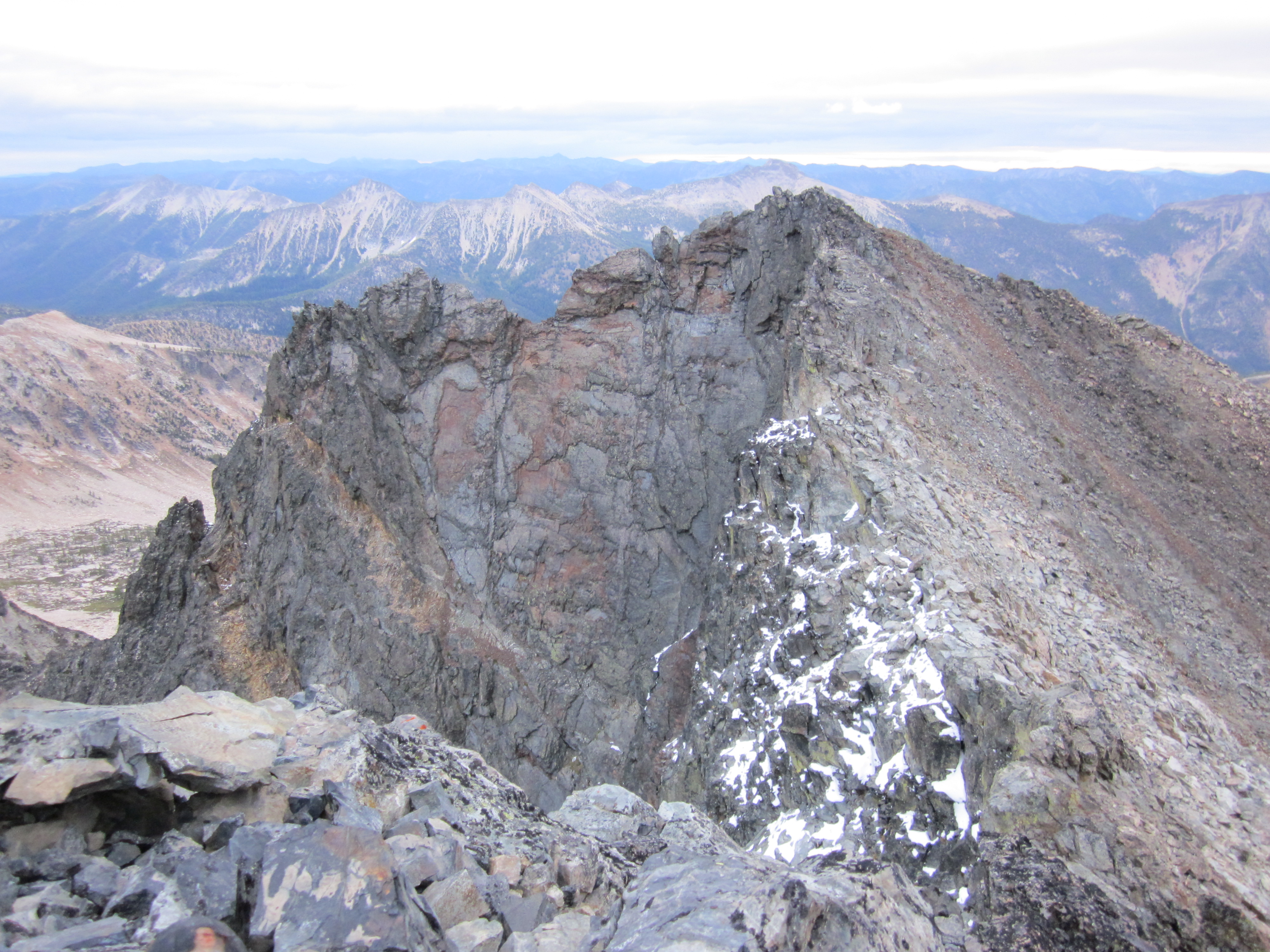
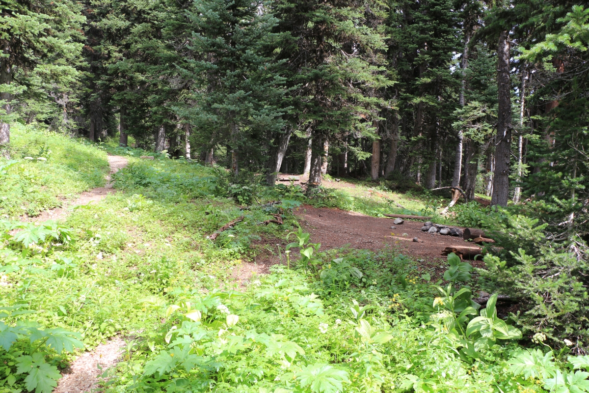
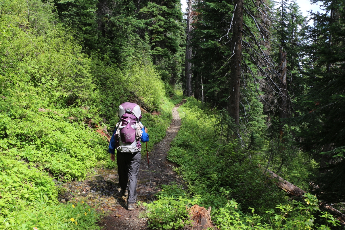
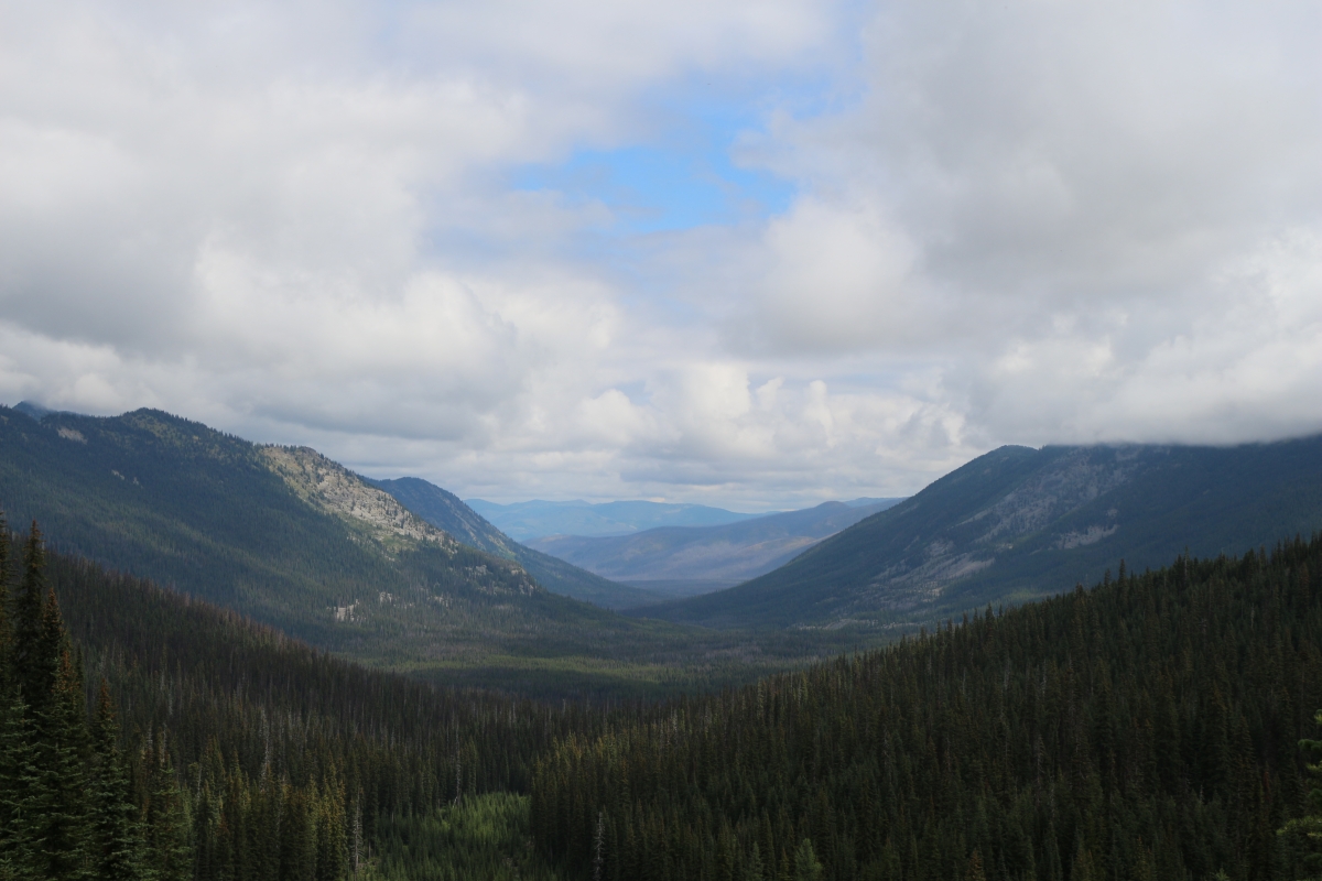
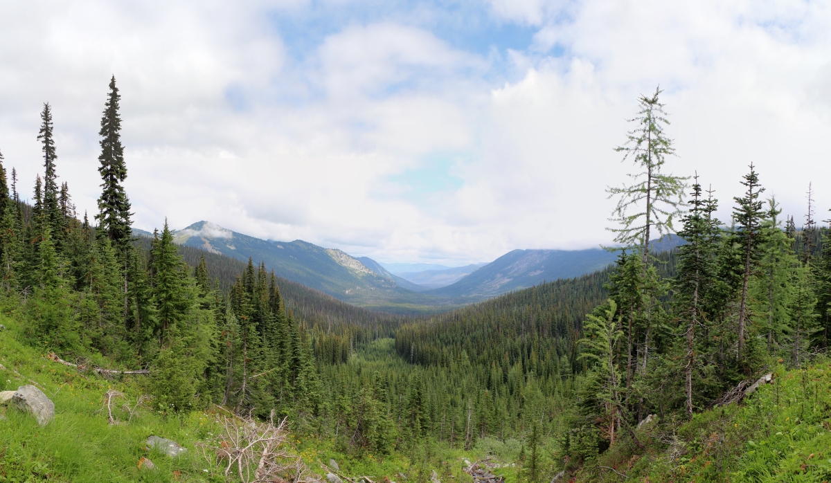
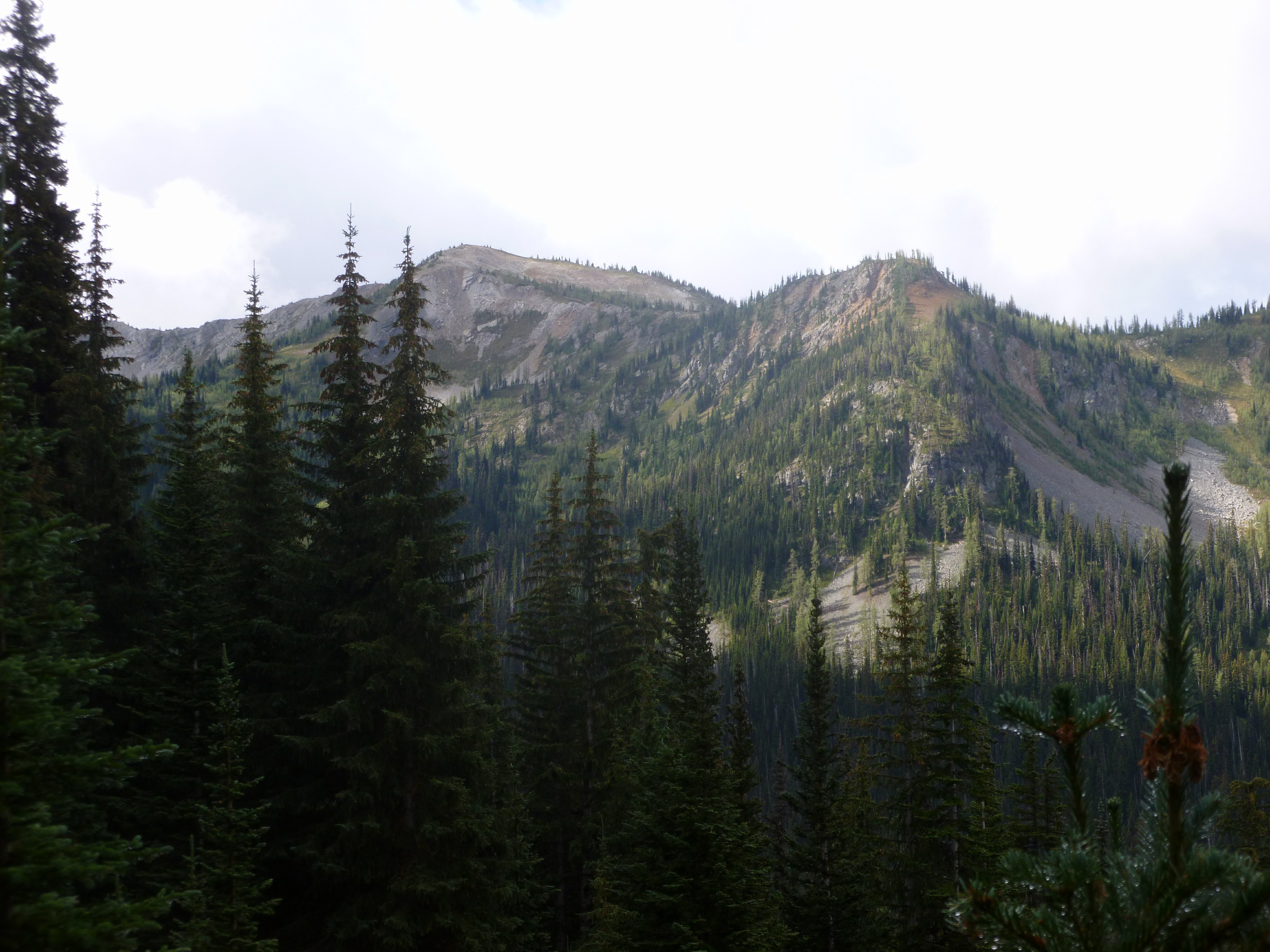
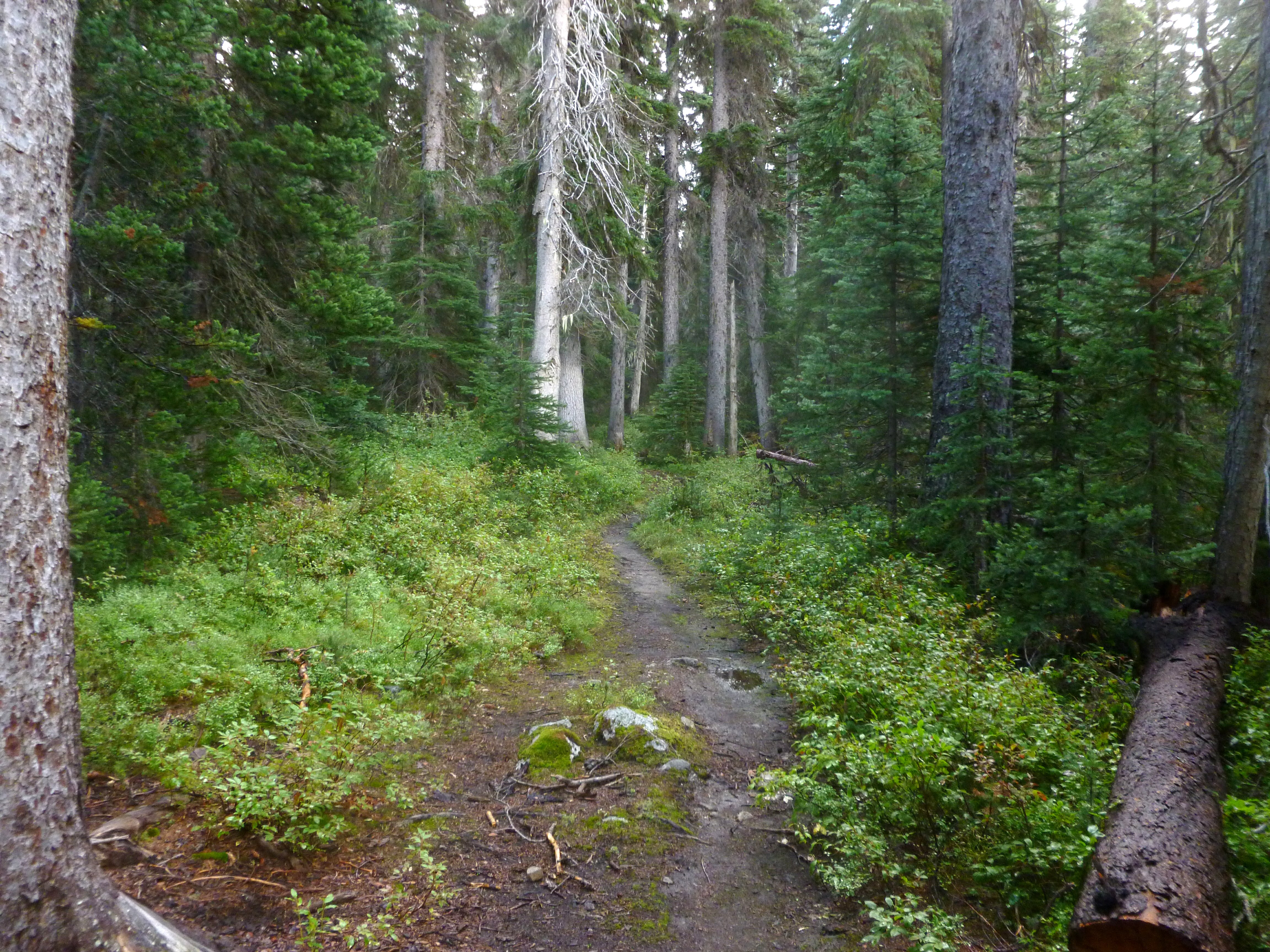
Fotos
View west towards Robinson

Views from Sand Back ridge/trail to whistler pass
View of Lake peak from summit of Monument
Views along trail

View west from summit of Monument
View from summit of Monument
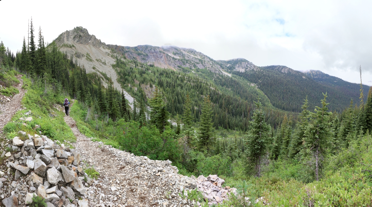
Showing view of trail, pretty easy to find/follow and maintained pretty well
View towards summit of Lake from camp
Headed into Corral lake, view of meadows and panorama is amazing
On the trail!
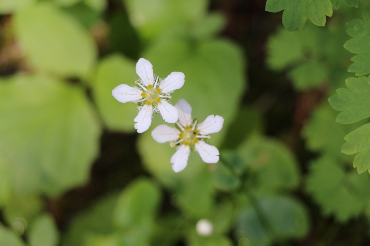
3247 Saxifrage flower west of Holman Pass on the Devils Dome Trail
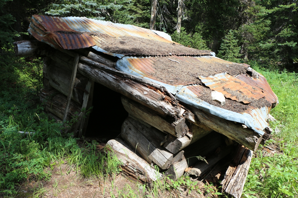
3231 Old rotting log cabin on the Devils Dome Trail (trail 752) west of Holman Pass
3227 Taking a rest at the trail intersection at Holman Pass on the PCT - we left the PCT and headed west here
3203 A dirt bridge across a soggy stream crossing on the PCT south of Holman Pass
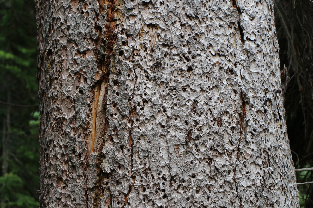
3189 Beetle-eaten and lightning-scarred tree trunk on the PCT south of Holman Pass
3164 Looking north at Peak 7258 from the PCT south of Holman Pass
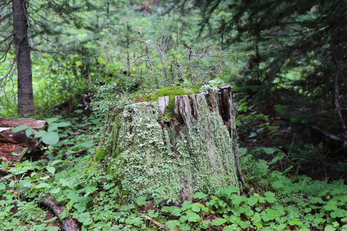
3140 Old Stump with moss and lichen south of Holman Pass on the PCT
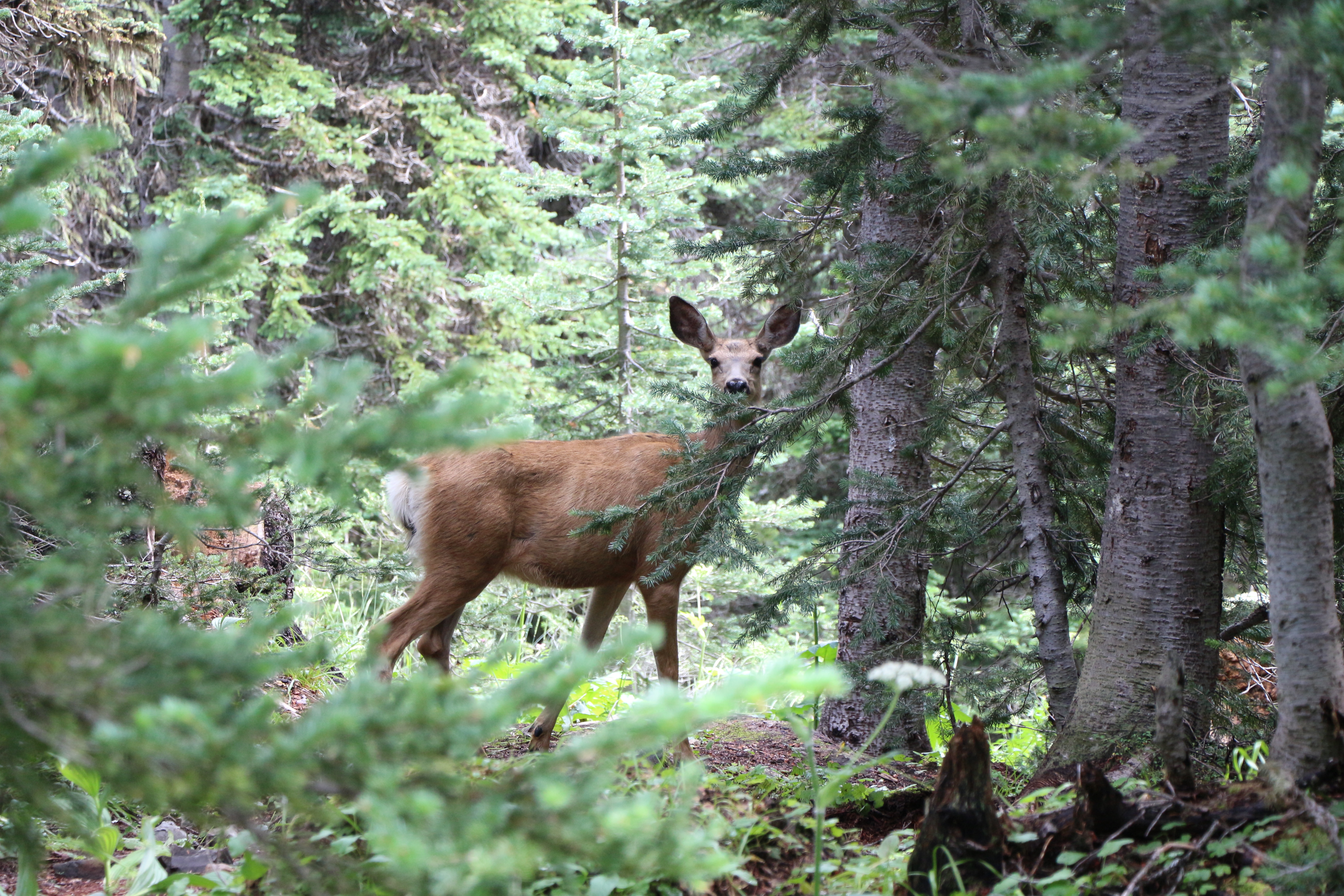
3101 Deer hanging around near a campsite on the PCT south of Holman Pass
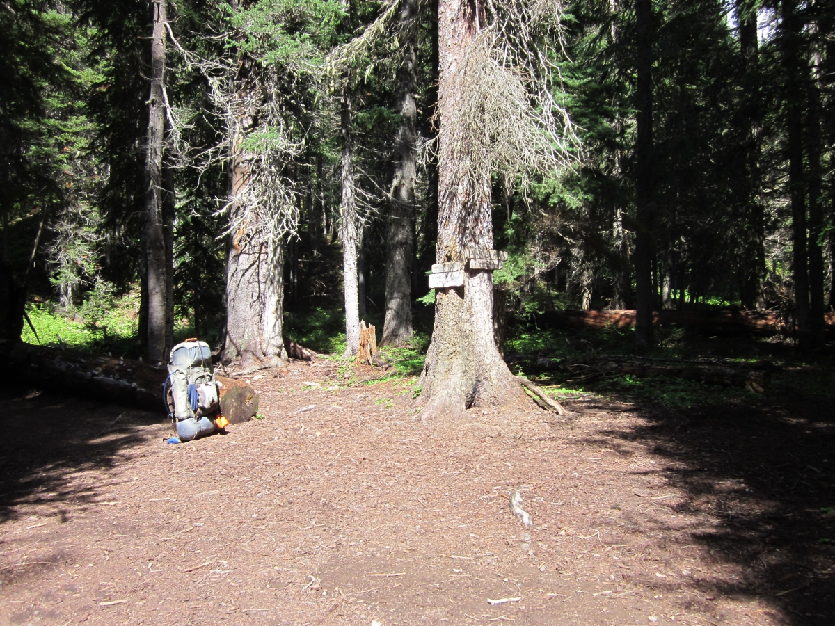
3100 Nice campsite just above the long descent to Holman Pass from the PCT north of Jim Peak
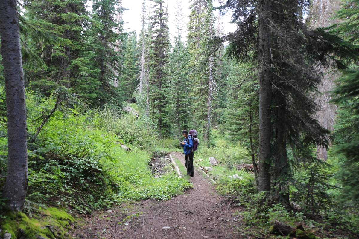
3083 Hiking downhill in the forest toward Holman Pass from the PCT north of Jim Peak
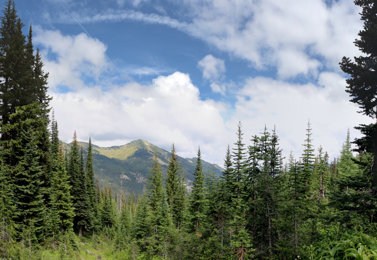
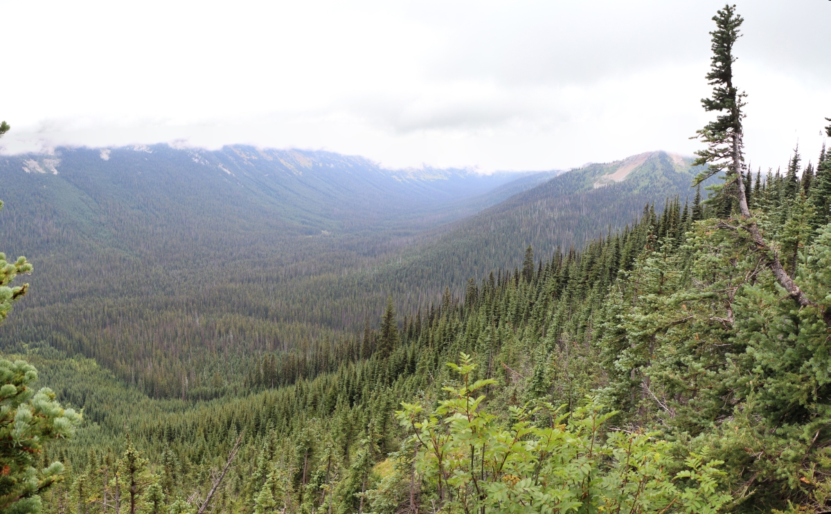
3060 Okanogan Range in the distance, Buckskin Point on the right from the PCT north of Jim Peak
3056 Looking north down the avalanch path that also forms Shaw Creek below Jim Peak on the PCT
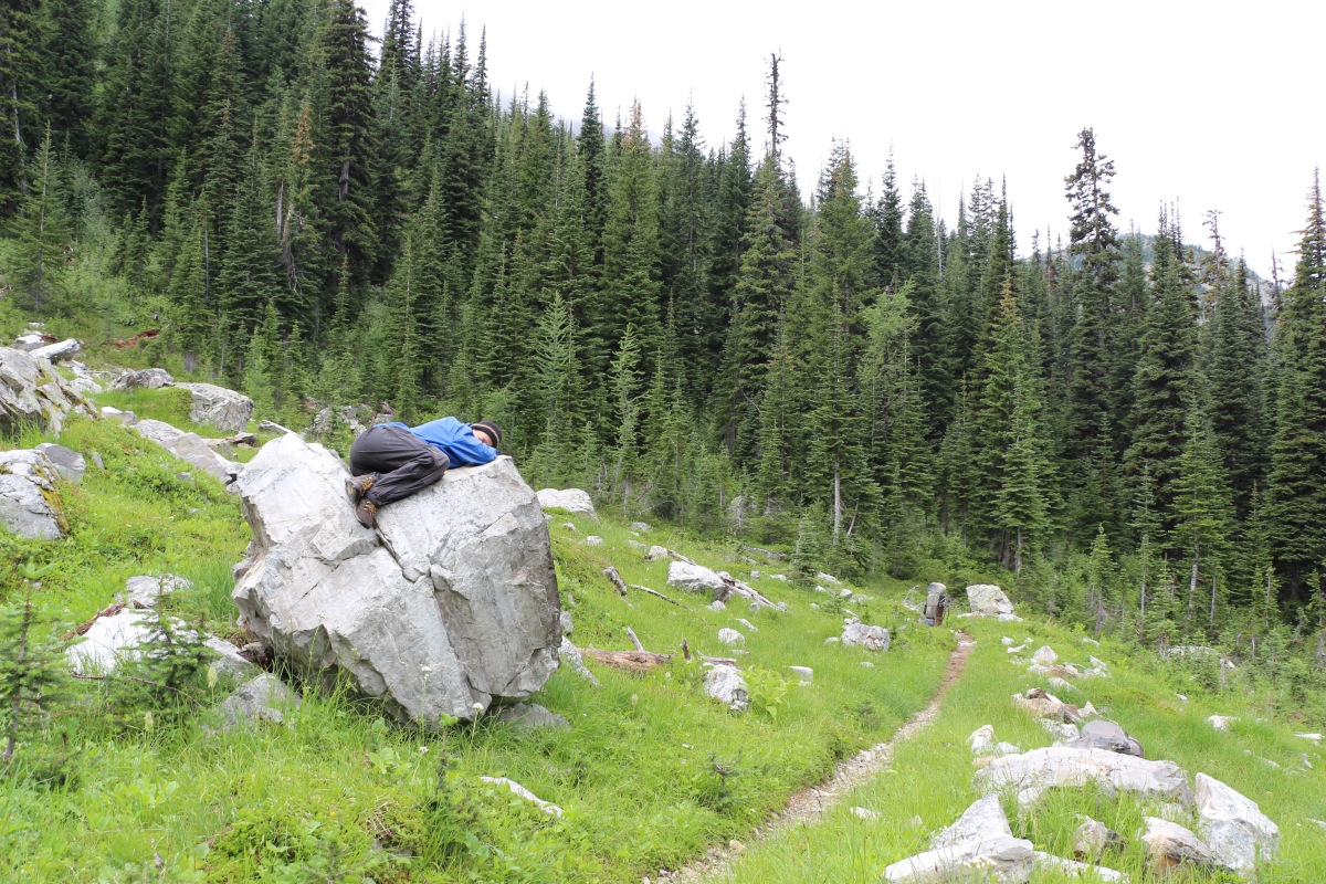
3025 Vicki taking a nap on a boulder after lunch from the PCT north of Jim Peak and the Devils Backbone
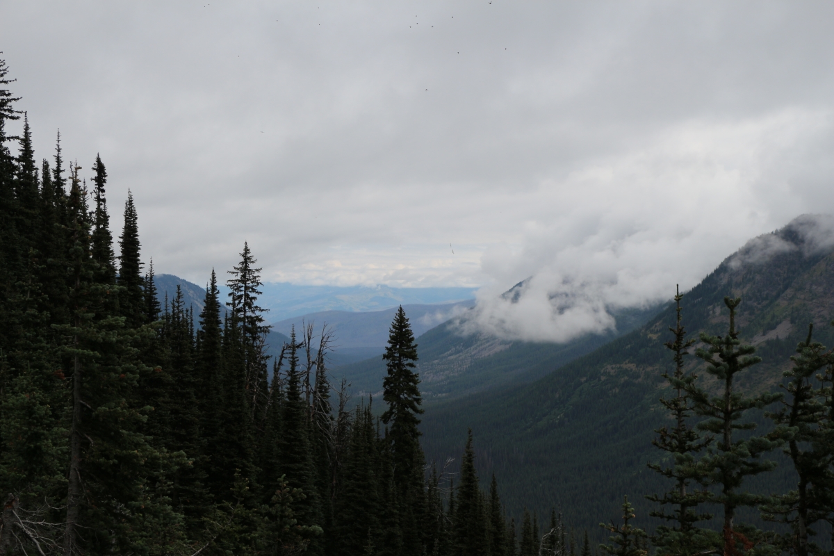
3006 Peak 7058 of the Devils Backbone and Jim Peak in the clouds from the PCT

2996 Campsite directly on the ridge of the Devils Backbone east of Jim Peak on the PCT
2984 Looking down into the Oregon Basin and the West Fork Pasayten River from the PCT below Jim Peak
2983 Looking down into the West Fork Pasayten River Valley from the PCT below Jim Peak

2979 We found ripe blueberries on the PCT below Jim Peak
P1020762(1)
P1020755(1)
Mapa de Ptarmigan Peak, Washington, EE. UU.
Buscar otro lugar
Lugares cercanos
Dot Mountain, Washington, EE. UU.
Mount Lago, Mt Lago, Washington, EE. UU.
Osceola Peak, Washington, EE. UU.
Blackcap Mountain, Washington, EE. UU.
Many Trails Peak, Washington, EE. UU.
Pass Butte, Washington, EE. UU.
Point Defiance, Washington, EE. UU.
Monument Peak, Washington, EE. UU.
Island Mountain, Washington, EE. UU.
Lake Mountain, Washington, EE. UU.
Mount Rolo, Mt Rolo, Washington, EE. UU.
Lost Peak, Washington, EE. UU.
Rampart Ridge, Washington, EE. UU.
Rampart Ridge North, Washington, EE. UU.
Wildcat Mountain, Washington, EE. UU.
Dollar Watch Mountain, Washington, EE. UU.
Beauty Peak, Washington, EE. UU.
Holdover Ridge, Washington, EE. UU.
Quartz Mountain, Washington, EE. UU.
Robinson Mountain, Washington, EE. UU.
Búsquedas recientes
- Horas de salida y puesta de sol de Red Dog Mine, AK, USA
- Horas de salida y puesta de sol de Am Bahnhof, Am bhf, Borken, Germany
- Horas de salida y puesta de sol de 4th St E, Sonoma, CA, EE. UU.
- Horas de salida y puesta de sol de Oakland Ave, Williamsport, PA, EE. UU.
- Horas de salida y puesta de sol de Via Roma, Pieranica CR, Italia
- Horas de salida y puesta de sol de Torre del reloj, Grad, Dubrovnik (Ragusa), Croacia
- Horas de salida y puesta de sol de Trelew, Chubut, Argentina
- Horas de salida y puesta de sol de Hartfords Bluff Cir, Mt Pleasant, SC, EE. UU.
- Horas de salida y puesta de sol de Kita Ward, Kumamoto, Japón
- Horas de salida y puesta de sol de Pingtan Island, Pingtan County, Fuzhou, China