Horas de salida y puesta de sol de Municipio de Prairie, Illinois, EE. UU.
Location: Estados Unidos > Illinois > Condado de Shelby >
Zona horaria:
America/Chicago
Hora local:
2025-05-21 12:50:55
Longitud:
-88.6530753
Latitud:
39.2921057
Salida de sol de hoy:
05:34:53 AM
Puesta de sol de hoy:
08:07:48 PM
La duración del día hoy:
14h 32m 55s
Salida de sol de mañana:
05:34:13 AM
Puesta de sol de mañana:
08:08:39 PM
La duración del día mañana:
14h 34m 26s
Mostrar todas las fechas
| Fecha | Salida de sol | Puesta de sol | Duración del día |
|---|---|---|---|
| 01/01/2025 | 07:14:24 AM | 04:43:06 PM | 9h 28m 42s |
| 02/01/2025 | 07:14:28 AM | 04:43:58 PM | 9h 29m 30s |
| 03/01/2025 | 07:14:30 AM | 04:44:50 PM | 9h 30m 20s |
| 04/01/2025 | 07:14:29 AM | 04:45:44 PM | 9h 31m 15s |
| 05/01/2025 | 07:14:27 AM | 04:46:40 PM | 9h 32m 13s |
| 06/01/2025 | 07:14:22 AM | 04:47:36 PM | 9h 33m 14s |
| 07/01/2025 | 07:14:15 AM | 04:48:34 PM | 9h 34m 19s |
| 08/01/2025 | 07:14:06 AM | 04:49:33 PM | 9h 35m 27s |
| 09/01/2025 | 07:13:55 AM | 04:50:32 PM | 9h 36m 37s |
| 10/01/2025 | 07:13:41 AM | 04:51:33 PM | 9h 37m 52s |
| 11/01/2025 | 07:13:26 AM | 04:52:35 PM | 9h 39m 9s |
| 12/01/2025 | 07:13:08 AM | 04:53:38 PM | 9h 40m 30s |
| 13/01/2025 | 07:12:48 AM | 04:54:41 PM | 9h 41m 53s |
| 14/01/2025 | 07:12:26 AM | 04:55:45 PM | 9h 43m 19s |
| 15/01/2025 | 07:12:02 AM | 04:56:50 PM | 9h 44m 48s |
| 16/01/2025 | 07:11:36 AM | 04:57:56 PM | 9h 46m 20s |
| 17/01/2025 | 07:11:08 AM | 04:59:02 PM | 9h 47m 54s |
| 18/01/2025 | 07:10:38 AM | 05:00:09 PM | 9h 49m 31s |
| 19/01/2025 | 07:10:06 AM | 05:01:17 PM | 9h 51m 11s |
| 20/01/2025 | 07:09:31 AM | 05:02:25 PM | 9h 52m 54s |
| 21/01/2025 | 07:08:55 AM | 05:03:33 PM | 9h 54m 38s |
| 22/01/2025 | 07:08:17 AM | 05:04:42 PM | 9h 56m 25s |
| 23/01/2025 | 07:07:37 AM | 05:05:51 PM | 9h 58m 14s |
| 24/01/2025 | 07:06:55 AM | 05:07:00 PM | 10h 0m 5s |
| 25/01/2025 | 07:06:11 AM | 05:08:10 PM | 10h 1m 59s |
| 26/01/2025 | 07:05:26 AM | 05:09:20 PM | 10h 3m 54s |
| 27/01/2025 | 07:04:38 AM | 05:10:30 PM | 10h 5m 52s |
| 28/01/2025 | 07:03:49 AM | 05:11:41 PM | 10h 7m 52s |
| 29/01/2025 | 07:02:58 AM | 05:12:51 PM | 10h 9m 53s |
| 30/01/2025 | 07:02:05 AM | 05:14:01 PM | 10h 11m 56s |
| 31/01/2025 | 07:01:11 AM | 05:15:12 PM | 10h 14m 1s |
| 01/02/2025 | 07:00:15 AM | 05:16:23 PM | 10h 16m 8s |
| 02/02/2025 | 06:59:17 AM | 05:17:33 PM | 10h 18m 16s |
| 03/02/2025 | 06:58:18 AM | 05:18:44 PM | 10h 20m 26s |
| 04/02/2025 | 06:57:17 AM | 05:19:54 PM | 10h 22m 37s |
| 05/02/2025 | 06:56:15 AM | 05:21:04 PM | 10h 24m 49s |
| 06/02/2025 | 06:55:11 AM | 05:22:14 PM | 10h 27m 3s |
| 07/02/2025 | 06:54:06 AM | 05:23:25 PM | 10h 29m 19s |
| 08/02/2025 | 06:53:00 AM | 05:24:34 PM | 10h 31m 34s |
| 09/02/2025 | 06:51:52 AM | 05:25:44 PM | 10h 33m 52s |
| 10/02/2025 | 06:50:42 AM | 05:26:54 PM | 10h 36m 12s |
| 11/02/2025 | 06:49:32 AM | 05:28:03 PM | 10h 38m 31s |
| 12/02/2025 | 06:48:20 AM | 05:29:12 PM | 10h 40m 52s |
| 13/02/2025 | 06:47:07 AM | 05:30:21 PM | 10h 43m 14s |
| 14/02/2025 | 06:45:52 AM | 05:31:30 PM | 10h 45m 38s |
| 15/02/2025 | 06:44:37 AM | 05:32:38 PM | 10h 48m 1s |
| 16/02/2025 | 06:43:20 AM | 05:33:46 PM | 10h 50m 26s |
| 17/02/2025 | 06:42:02 AM | 05:34:54 PM | 10h 52m 52s |
| 18/02/2025 | 06:40:44 AM | 05:36:01 PM | 10h 55m 17s |
| 19/02/2025 | 06:39:24 AM | 05:37:08 PM | 10h 57m 44s |
| 20/02/2025 | 06:38:03 AM | 05:38:15 PM | 11h 0m 12s |
| 21/02/2025 | 06:36:41 AM | 05:39:22 PM | 11h 2m 41s |
| 22/02/2025 | 06:35:18 AM | 05:40:28 PM | 11h 5m 10s |
| 23/02/2025 | 06:33:55 AM | 05:41:34 PM | 11h 7m 39s |
| 24/02/2025 | 06:32:30 AM | 05:42:40 PM | 11h 10m 10s |
| 25/02/2025 | 06:31:05 AM | 05:43:45 PM | 11h 12m 40s |
| 26/02/2025 | 06:29:39 AM | 05:44:50 PM | 11h 15m 11s |
| 27/02/2025 | 06:28:12 AM | 05:45:55 PM | 11h 17m 43s |
| 28/02/2025 | 06:26:44 AM | 05:46:59 PM | 11h 20m 15s |
| 01/03/2025 | 06:25:16 AM | 05:48:03 PM | 11h 22m 47s |
| 02/03/2025 | 06:23:47 AM | 05:49:07 PM | 11h 25m 20s |
| 03/03/2025 | 06:22:18 AM | 05:50:11 PM | 11h 27m 53s |
| 04/03/2025 | 06:20:48 AM | 05:51:14 PM | 11h 30m 26s |
| 05/03/2025 | 06:19:17 AM | 05:52:17 PM | 11h 33m 0s |
| 06/03/2025 | 06:17:46 AM | 05:53:20 PM | 11h 35m 34s |
| 07/03/2025 | 06:16:14 AM | 05:54:22 PM | 11h 38m 8s |
| 08/03/2025 | 06:14:42 AM | 05:55:24 PM | 11h 40m 42s |
| 09/03/2025 | 07:13:13 AM | 06:56:24 PM | 11h 43m 11s |
| 10/03/2025 | 07:11:40 AM | 06:57:25 PM | 11h 45m 45s |
| 11/03/2025 | 07:10:06 AM | 06:58:27 PM | 11h 48m 21s |
| 12/03/2025 | 07:08:33 AM | 06:59:28 PM | 11h 50m 55s |
| 13/03/2025 | 07:06:58 AM | 07:00:29 PM | 11h 53m 31s |
| 14/03/2025 | 07:05:24 AM | 07:01:30 PM | 11h 56m 6s |
| 15/03/2025 | 07:03:49 AM | 07:02:30 PM | 11h 58m 41s |
| 16/03/2025 | 07:02:15 AM | 07:03:31 PM | 12h 1m 16s |
| 17/03/2025 | 07:00:40 AM | 07:04:31 PM | 12h 3m 51s |
| 18/03/2025 | 06:59:04 AM | 07:05:31 PM | 12h 6m 27s |
| 19/03/2025 | 06:57:29 AM | 07:06:31 PM | 12h 9m 2s |
| 20/03/2025 | 06:55:54 AM | 07:07:31 PM | 12h 11m 37s |
| 21/03/2025 | 06:54:18 AM | 07:08:31 PM | 12h 14m 13s |
| 22/03/2025 | 06:52:43 AM | 07:09:30 PM | 12h 16m 47s |
| 23/03/2025 | 06:51:07 AM | 07:10:29 PM | 12h 19m 22s |
| 24/03/2025 | 06:49:32 AM | 07:11:29 PM | 12h 21m 57s |
| 25/03/2025 | 06:47:56 AM | 07:12:28 PM | 12h 24m 32s |
| 26/03/2025 | 06:46:21 AM | 07:13:27 PM | 12h 27m 6s |
| 27/03/2025 | 06:44:46 AM | 07:14:26 PM | 12h 29m 40s |
| 28/03/2025 | 06:43:11 AM | 07:15:25 PM | 12h 32m 14s |
| 29/03/2025 | 06:41:36 AM | 07:16:24 PM | 12h 34m 48s |
| 30/03/2025 | 06:40:01 AM | 07:17:23 PM | 12h 37m 22s |
| 31/03/2025 | 06:38:27 AM | 07:18:22 PM | 12h 39m 55s |
| 01/04/2025 | 06:36:52 AM | 07:19:21 PM | 12h 42m 29s |
| 02/04/2025 | 06:35:18 AM | 07:20:19 PM | 12h 45m 1s |
| 03/04/2025 | 06:33:45 AM | 07:21:18 PM | 12h 47m 33s |
| 04/04/2025 | 06:32:12 AM | 07:22:17 PM | 12h 50m 5s |
| 05/04/2025 | 06:30:39 AM | 07:23:16 PM | 12h 52m 37s |
| 06/04/2025 | 06:29:06 AM | 07:24:15 PM | 12h 55m 9s |
| 07/04/2025 | 06:27:34 AM | 07:25:13 PM | 12h 57m 39s |
| 08/04/2025 | 06:26:03 AM | 07:26:12 PM | 13h 0m 9s |
| 09/04/2025 | 06:24:32 AM | 07:27:11 PM | 13h 2m 39s |
| 10/04/2025 | 06:23:01 AM | 07:28:10 PM | 13h 5m 9s |
| 11/04/2025 | 06:21:31 AM | 07:29:09 PM | 13h 7m 38s |
| 12/04/2025 | 06:20:02 AM | 07:30:08 PM | 13h 10m 6s |
| 13/04/2025 | 06:18:33 AM | 07:31:07 PM | 13h 12m 34s |
| 14/04/2025 | 06:17:05 AM | 07:32:06 PM | 13h 15m 1s |
| 15/04/2025 | 06:15:38 AM | 07:33:05 PM | 13h 17m 27s |
| 16/04/2025 | 06:14:11 AM | 07:34:04 PM | 13h 19m 53s |
| 17/04/2025 | 06:12:46 AM | 07:35:03 PM | 13h 22m 17s |
| 18/04/2025 | 06:11:21 AM | 07:36:02 PM | 13h 24m 41s |
| 19/04/2025 | 06:09:56 AM | 07:37:01 PM | 13h 27m 5s |
| 20/04/2025 | 06:08:33 AM | 07:38:00 PM | 13h 29m 27s |
| 21/04/2025 | 06:07:10 AM | 07:38:59 PM | 13h 31m 49s |
| 22/04/2025 | 06:05:49 AM | 07:39:58 PM | 13h 34m 9s |
| 23/04/2025 | 06:04:28 AM | 07:40:57 PM | 13h 36m 29s |
| 24/04/2025 | 06:03:08 AM | 07:41:56 PM | 13h 38m 48s |
| 25/04/2025 | 06:01:50 AM | 07:42:55 PM | 13h 41m 5s |
| 26/04/2025 | 06:00:32 AM | 07:43:55 PM | 13h 43m 23s |
| 27/04/2025 | 05:59:15 AM | 07:44:54 PM | 13h 45m 39s |
| 28/04/2025 | 05:58:00 AM | 07:45:52 PM | 13h 47m 52s |
| 29/04/2025 | 05:56:45 AM | 07:46:51 PM | 13h 50m 6s |
| 30/04/2025 | 05:55:32 AM | 07:47:50 PM | 13h 52m 18s |
| 01/05/2025 | 05:54:20 AM | 07:48:49 PM | 13h 54m 29s |
| 02/05/2025 | 05:53:09 AM | 07:49:47 PM | 13h 56m 38s |
| 03/05/2025 | 05:51:59 AM | 07:50:46 PM | 13h 58m 47s |
| 04/05/2025 | 05:50:51 AM | 07:51:44 PM | 14h 0m 53s |
| 05/05/2025 | 05:49:44 AM | 07:52:42 PM | 14h 2m 58s |
| 06/05/2025 | 05:48:38 AM | 07:53:40 PM | 14h 5m 2s |
| 07/05/2025 | 05:47:34 AM | 07:54:38 PM | 14h 7m 4s |
| 08/05/2025 | 05:46:31 AM | 07:55:35 PM | 14h 9m 4s |
| 09/05/2025 | 05:45:30 AM | 07:56:32 PM | 14h 11m 2s |
| 10/05/2025 | 05:44:29 AM | 07:57:29 PM | 14h 13m 0s |
| 11/05/2025 | 05:43:31 AM | 07:58:25 PM | 14h 14m 54s |
| 12/05/2025 | 05:42:34 AM | 07:59:22 PM | 14h 16m 48s |
| 13/05/2025 | 05:41:38 AM | 08:00:17 PM | 14h 18m 39s |
| 14/05/2025 | 05:40:44 AM | 08:01:13 PM | 14h 20m 29s |
| 15/05/2025 | 05:39:52 AM | 08:02:07 PM | 14h 22m 15s |
| 16/05/2025 | 05:39:01 AM | 08:03:02 PM | 14h 24m 1s |
| 17/05/2025 | 05:38:12 AM | 08:03:56 PM | 14h 25m 44s |
| 18/05/2025 | 05:37:24 AM | 08:04:49 PM | 14h 27m 25s |
| 19/05/2025 | 05:36:38 AM | 08:05:42 PM | 14h 29m 4s |
| 20/05/2025 | 05:35:54 AM | 08:06:34 PM | 14h 30m 40s |
| 21/05/2025 | 05:35:12 AM | 08:07:25 PM | 14h 32m 13s |
| 22/05/2025 | 05:34:31 AM | 08:08:16 PM | 14h 33m 45s |
| 23/05/2025 | 05:33:52 AM | 08:09:06 PM | 14h 35m 14s |
| 24/05/2025 | 05:33:15 AM | 08:09:55 PM | 14h 36m 40s |
| 25/05/2025 | 05:32:40 AM | 08:10:43 PM | 14h 38m 3s |
| 26/05/2025 | 05:32:06 AM | 08:11:31 PM | 14h 39m 25s |
| 27/05/2025 | 05:31:35 AM | 08:12:17 PM | 14h 40m 42s |
| 28/05/2025 | 05:31:05 AM | 08:13:03 PM | 14h 41m 58s |
| 29/05/2025 | 05:30:37 AM | 08:13:47 PM | 14h 43m 10s |
| 30/05/2025 | 05:30:10 AM | 08:14:31 PM | 14h 44m 21s |
| 31/05/2025 | 05:29:46 AM | 08:15:14 PM | 14h 45m 28s |
| 01/06/2025 | 05:29:24 AM | 08:15:55 PM | 14h 46m 31s |
| 02/06/2025 | 05:29:03 AM | 08:16:35 PM | 14h 47m 32s |
| 03/06/2025 | 05:28:45 AM | 08:17:15 PM | 14h 48m 30s |
| 04/06/2025 | 05:28:28 AM | 08:17:52 PM | 14h 49m 24s |
| 05/06/2025 | 05:28:13 AM | 08:18:29 PM | 14h 50m 16s |
| 06/06/2025 | 05:28:00 AM | 08:19:04 PM | 14h 51m 4s |
| 07/06/2025 | 05:27:49 AM | 08:19:38 PM | 14h 51m 49s |
| 08/06/2025 | 05:27:40 AM | 08:20:11 PM | 14h 52m 31s |
| 09/06/2025 | 05:27:33 AM | 08:20:42 PM | 14h 53m 9s |
| 10/06/2025 | 05:27:28 AM | 08:21:12 PM | 14h 53m 44s |
| 11/06/2025 | 05:27:24 AM | 08:21:40 PM | 14h 54m 16s |
| 12/06/2025 | 05:27:23 AM | 08:22:07 PM | 14h 54m 44s |
| 13/06/2025 | 05:27:23 AM | 08:22:32 PM | 14h 55m 9s |
| 14/06/2025 | 05:27:25 AM | 08:22:55 PM | 14h 55m 30s |
| 15/06/2025 | 05:27:29 AM | 08:23:17 PM | 14h 55m 48s |
| 16/06/2025 | 05:27:35 AM | 08:23:38 PM | 14h 56m 3s |
| 17/06/2025 | 05:27:42 AM | 08:23:56 PM | 14h 56m 14s |
| 18/06/2025 | 05:27:52 AM | 08:24:13 PM | 14h 56m 21s |
| 19/06/2025 | 05:28:03 AM | 08:24:28 PM | 14h 56m 25s |
| 20/06/2025 | 05:28:15 AM | 08:24:41 PM | 14h 56m 26s |
| 21/06/2025 | 05:28:30 AM | 08:24:53 PM | 14h 56m 23s |
| 22/06/2025 | 05:28:46 AM | 08:25:03 PM | 14h 56m 17s |
| 23/06/2025 | 05:29:04 AM | 08:25:10 PM | 14h 56m 6s |
| 24/06/2025 | 05:29:23 AM | 08:25:17 PM | 14h 55m 54s |
| 25/06/2025 | 05:29:45 AM | 08:25:21 PM | 14h 55m 36s |
| 26/06/2025 | 05:30:07 AM | 08:25:23 PM | 14h 55m 16s |
| 27/06/2025 | 05:30:31 AM | 08:25:23 PM | 14h 54m 52s |
| 28/06/2025 | 05:30:57 AM | 08:25:22 PM | 14h 54m 25s |
| 29/06/2025 | 05:31:24 AM | 08:25:18 PM | 14h 53m 54s |
| 30/06/2025 | 05:31:53 AM | 08:25:13 PM | 14h 53m 20s |
| 01/07/2025 | 05:32:23 AM | 08:25:06 PM | 14h 52m 43s |
| 02/07/2025 | 05:32:54 AM | 08:24:57 PM | 14h 52m 3s |
| 03/07/2025 | 05:33:27 AM | 08:24:45 PM | 14h 51m 18s |
| 04/07/2025 | 05:34:01 AM | 08:24:32 PM | 14h 50m 31s |
| 05/07/2025 | 05:34:36 AM | 08:24:17 PM | 14h 49m 41s |
| 06/07/2025 | 05:35:12 AM | 08:24:00 PM | 14h 48m 48s |
| 07/07/2025 | 05:35:50 AM | 08:23:41 PM | 14h 47m 51s |
| 08/07/2025 | 05:36:29 AM | 08:23:20 PM | 14h 46m 51s |
| 09/07/2025 | 05:37:08 AM | 08:22:58 PM | 14h 45m 50s |
| 10/07/2025 | 05:37:49 AM | 08:22:33 PM | 14h 44m 44s |
| 11/07/2025 | 05:38:31 AM | 08:22:06 PM | 14h 43m 35s |
| 12/07/2025 | 05:39:14 AM | 08:21:38 PM | 14h 42m 24s |
| 13/07/2025 | 05:39:57 AM | 08:21:07 PM | 14h 41m 10s |
| 14/07/2025 | 05:40:42 AM | 08:20:35 PM | 14h 39m 53s |
| 15/07/2025 | 05:41:27 AM | 08:20:01 PM | 14h 38m 34s |
| 16/07/2025 | 05:42:13 AM | 08:19:25 PM | 14h 37m 12s |
| 17/07/2025 | 05:43:00 AM | 08:18:47 PM | 14h 35m 47s |
| 18/07/2025 | 05:43:48 AM | 08:18:08 PM | 14h 34m 20s |
| 19/07/2025 | 05:44:36 AM | 08:17:26 PM | 14h 32m 50s |
| 20/07/2025 | 05:45:25 AM | 08:16:43 PM | 14h 31m 18s |
| 21/07/2025 | 05:46:15 AM | 08:15:58 PM | 14h 29m 43s |
| 22/07/2025 | 05:47:05 AM | 08:15:11 PM | 14h 28m 6s |
| 23/07/2025 | 05:47:56 AM | 08:14:23 PM | 14h 26m 27s |
| 24/07/2025 | 05:48:47 AM | 08:13:33 PM | 14h 24m 46s |
| 25/07/2025 | 05:49:39 AM | 08:12:41 PM | 14h 23m 2s |
| 26/07/2025 | 05:50:31 AM | 08:11:48 PM | 14h 21m 17s |
| 27/07/2025 | 05:51:23 AM | 08:10:53 PM | 14h 19m 30s |
| 28/07/2025 | 05:52:16 AM | 08:09:57 PM | 14h 17m 41s |
| 29/07/2025 | 05:53:09 AM | 08:08:59 PM | 14h 15m 50s |
| 30/07/2025 | 05:54:03 AM | 08:07:59 PM | 14h 13m 56s |
| 31/07/2025 | 05:54:56 AM | 08:06:58 PM | 14h 12m 2s |
| 01/08/2025 | 05:55:50 AM | 08:05:55 PM | 14h 10m 5s |
| 02/08/2025 | 05:56:45 AM | 08:04:51 PM | 14h 8m 6s |
| 03/08/2025 | 05:57:39 AM | 08:03:46 PM | 14h 6m 7s |
| 04/08/2025 | 05:58:34 AM | 08:02:39 PM | 14h 4m 5s |
| 05/08/2025 | 05:59:29 AM | 08:01:31 PM | 14h 2m 2s |
| 06/08/2025 | 06:00:24 AM | 08:00:22 PM | 13h 59m 58s |
| 07/08/2025 | 06:01:19 AM | 07:59:11 PM | 13h 57m 52s |
| 08/08/2025 | 06:02:14 AM | 07:57:59 PM | 13h 55m 45s |
| 09/08/2025 | 06:03:09 AM | 07:56:46 PM | 13h 53m 37s |
| 10/08/2025 | 06:04:04 AM | 07:55:31 PM | 13h 51m 27s |
| 11/08/2025 | 06:05:00 AM | 07:54:15 PM | 13h 49m 15s |
| 12/08/2025 | 06:05:55 AM | 07:52:59 PM | 13h 47m 4s |
| 13/08/2025 | 06:06:50 AM | 07:51:41 PM | 13h 44m 51s |
| 14/08/2025 | 06:07:46 AM | 07:50:22 PM | 13h 42m 36s |
| 15/08/2025 | 06:08:41 AM | 07:49:02 PM | 13h 40m 21s |
| 16/08/2025 | 06:09:36 AM | 07:47:41 PM | 13h 38m 5s |
| 17/08/2025 | 06:10:32 AM | 07:46:19 PM | 13h 35m 47s |
| 18/08/2025 | 06:11:27 AM | 07:44:56 PM | 13h 33m 29s |
| 19/08/2025 | 06:12:22 AM | 07:43:32 PM | 13h 31m 10s |
| 20/08/2025 | 06:13:18 AM | 07:42:07 PM | 13h 28m 49s |
| 21/08/2025 | 06:14:13 AM | 07:40:41 PM | 13h 26m 28s |
| 22/08/2025 | 06:15:08 AM | 07:39:15 PM | 13h 24m 7s |
| 23/08/2025 | 06:16:03 AM | 07:37:48 PM | 13h 21m 45s |
| 24/08/2025 | 06:16:58 AM | 07:36:20 PM | 13h 19m 22s |
| 25/08/2025 | 06:17:53 AM | 07:34:51 PM | 13h 16m 58s |
| 26/08/2025 | 06:18:48 AM | 07:33:21 PM | 13h 14m 33s |
| 27/08/2025 | 06:19:43 AM | 07:31:51 PM | 13h 12m 8s |
| 28/08/2025 | 06:20:38 AM | 07:30:20 PM | 13h 9m 42s |
| 29/08/2025 | 06:21:32 AM | 07:28:49 PM | 13h 7m 17s |
| 30/08/2025 | 06:22:27 AM | 07:27:17 PM | 13h 4m 50s |
| 31/08/2025 | 06:23:21 AM | 07:25:44 PM | 13h 2m 23s |
| 01/09/2025 | 06:24:16 AM | 07:24:11 PM | 12h 59m 55s |
| 02/09/2025 | 06:25:11 AM | 07:22:37 PM | 12h 57m 26s |
| 03/09/2025 | 06:26:05 AM | 07:21:03 PM | 12h 54m 58s |
| 04/09/2025 | 06:26:59 AM | 07:19:28 PM | 12h 52m 29s |
| 05/09/2025 | 06:27:54 AM | 07:17:53 PM | 12h 49m 59s |
| 06/09/2025 | 06:28:48 AM | 07:16:18 PM | 12h 47m 30s |
| 07/09/2025 | 06:29:43 AM | 07:14:42 PM | 12h 44m 59s |
| 08/09/2025 | 06:30:37 AM | 07:13:06 PM | 12h 42m 29s |
| 09/09/2025 | 06:31:31 AM | 07:11:30 PM | 12h 39m 59s |
| 10/09/2025 | 06:32:26 AM | 07:09:53 PM | 12h 37m 27s |
| 11/09/2025 | 06:33:20 AM | 07:08:16 PM | 12h 34m 56s |
| 12/09/2025 | 06:34:15 AM | 07:06:39 PM | 12h 32m 24s |
| 13/09/2025 | 06:35:09 AM | 07:05:02 PM | 12h 29m 53s |
| 14/09/2025 | 06:36:04 AM | 07:03:25 PM | 12h 27m 21s |
| 15/09/2025 | 06:36:58 AM | 07:01:47 PM | 12h 24m 49s |
| 16/09/2025 | 06:37:53 AM | 07:00:10 PM | 12h 22m 17s |
| 17/09/2025 | 06:38:48 AM | 06:58:32 PM | 12h 19m 44s |
| 18/09/2025 | 06:39:43 AM | 06:56:54 PM | 12h 17m 11s |
| 19/09/2025 | 06:40:38 AM | 06:55:17 PM | 12h 14m 39s |
| 20/09/2025 | 06:41:33 AM | 06:53:39 PM | 12h 12m 6s |
| 21/09/2025 | 06:42:28 AM | 06:52:01 PM | 12h 9m 33s |
| 22/09/2025 | 06:43:23 AM | 06:50:24 PM | 12h 7m 1s |
| 23/09/2025 | 06:44:19 AM | 06:48:47 PM | 12h 4m 28s |
| 24/09/2025 | 06:45:14 AM | 06:47:09 PM | 12h 1m 55s |
| 25/09/2025 | 06:46:10 AM | 06:45:32 PM | 11h 59m 22s |
| 26/09/2025 | 06:47:06 AM | 06:43:55 PM | 11h 56m 49s |
| 27/09/2025 | 06:48:02 AM | 06:42:19 PM | 11h 54m 17s |
| 28/09/2025 | 06:48:59 AM | 06:40:43 PM | 11h 51m 44s |
| 29/09/2025 | 06:49:55 AM | 06:39:07 PM | 11h 49m 12s |
| 30/09/2025 | 06:50:52 AM | 06:37:31 PM | 11h 46m 39s |
| 01/10/2025 | 06:51:49 AM | 06:35:55 PM | 11h 44m 6s |
| 02/10/2025 | 06:52:47 AM | 06:34:20 PM | 11h 41m 33s |
| 03/10/2025 | 06:53:44 AM | 06:32:46 PM | 11h 39m 2s |
| 04/10/2025 | 06:54:42 AM | 06:31:12 PM | 11h 36m 30s |
| 05/10/2025 | 06:55:40 AM | 06:29:38 PM | 11h 33m 58s |
| 06/10/2025 | 06:56:39 AM | 06:28:05 PM | 11h 31m 26s |
| 07/10/2025 | 06:57:37 AM | 06:26:33 PM | 11h 28m 56s |
| 08/10/2025 | 06:58:36 AM | 06:25:01 PM | 11h 26m 25s |
| 09/10/2025 | 06:59:36 AM | 06:23:29 PM | 11h 23m 53s |
| 10/10/2025 | 07:00:35 AM | 06:21:59 PM | 11h 21m 24s |
| 11/10/2025 | 07:01:35 AM | 06:20:28 PM | 11h 18m 53s |
| 12/10/2025 | 07:02:36 AM | 06:18:59 PM | 11h 16m 23s |
| 13/10/2025 | 07:03:36 AM | 06:17:31 PM | 11h 13m 55s |
| 14/10/2025 | 07:04:37 AM | 06:16:03 PM | 11h 11m 26s |
| 15/10/2025 | 07:05:38 AM | 06:14:36 PM | 11h 8m 58s |
| 16/10/2025 | 07:06:40 AM | 06:13:09 PM | 11h 6m 29s |
| 17/10/2025 | 07:07:42 AM | 06:11:44 PM | 11h 4m 2s |
| 18/10/2025 | 07:08:44 AM | 06:10:20 PM | 11h 1m 36s |
| 19/10/2025 | 07:09:47 AM | 06:08:56 PM | 10h 59m 9s |
| 20/10/2025 | 07:10:50 AM | 06:07:34 PM | 10h 56m 44s |
| 21/10/2025 | 07:11:53 AM | 06:06:12 PM | 10h 54m 19s |
| 22/10/2025 | 07:12:56 AM | 06:04:52 PM | 10h 51m 56s |
| 23/10/2025 | 07:14:00 AM | 06:03:32 PM | 10h 49m 32s |
| 24/10/2025 | 07:15:04 AM | 06:02:14 PM | 10h 47m 10s |
| 25/10/2025 | 07:16:09 AM | 06:00:57 PM | 10h 44m 48s |
| 26/10/2025 | 07:17:14 AM | 05:59:41 PM | 10h 42m 27s |
| 27/10/2025 | 07:18:19 AM | 05:58:26 PM | 10h 40m 7s |
| 28/10/2025 | 07:19:24 AM | 05:57:12 PM | 10h 37m 48s |
| 29/10/2025 | 07:20:30 AM | 05:56:00 PM | 10h 35m 30s |
| 30/10/2025 | 07:21:36 AM | 05:54:49 PM | 10h 33m 13s |
| 31/10/2025 | 07:22:42 AM | 05:53:40 PM | 10h 30m 58s |
| 01/11/2025 | 07:23:48 AM | 05:52:31 PM | 10h 28m 43s |
| 02/11/2025 | 06:24:58 AM | 04:51:22 PM | 10h 26m 24s |
| 03/11/2025 | 06:26:04 AM | 04:50:16 PM | 10h 24m 12s |
| 04/11/2025 | 06:27:11 AM | 04:49:13 PM | 10h 22m 2s |
| 05/11/2025 | 06:28:18 AM | 04:48:10 PM | 10h 19m 52s |
| 06/11/2025 | 06:29:26 AM | 04:47:10 PM | 10h 17m 44s |
| 07/11/2025 | 06:30:33 AM | 04:46:11 PM | 10h 15m 38s |
| 08/11/2025 | 06:31:40 AM | 04:45:13 PM | 10h 13m 33s |
| 09/11/2025 | 06:32:48 AM | 04:44:17 PM | 10h 11m 29s |
| 10/11/2025 | 06:33:55 AM | 04:43:23 PM | 10h 9m 28s |
| 11/11/2025 | 06:35:02 AM | 04:42:31 PM | 10h 7m 29s |
| 12/11/2025 | 06:36:10 AM | 04:41:40 PM | 10h 5m 30s |
| 13/11/2025 | 06:37:17 AM | 04:40:51 PM | 10h 3m 34s |
| 14/11/2025 | 06:38:24 AM | 04:40:04 PM | 10h 1m 40s |
| 15/11/2025 | 06:39:31 AM | 04:39:19 PM | 9h 59m 48s |
| 16/11/2025 | 06:40:38 AM | 04:38:35 PM | 9h 57m 57s |
| 17/11/2025 | 06:41:44 AM | 04:37:54 PM | 9h 56m 10s |
| 18/11/2025 | 06:42:50 AM | 04:37:14 PM | 9h 54m 24s |
| 19/11/2025 | 06:43:56 AM | 04:36:37 PM | 9h 52m 41s |
| 20/11/2025 | 06:45:02 AM | 04:36:01 PM | 9h 50m 59s |
| 21/11/2025 | 06:46:07 AM | 04:35:28 PM | 9h 49m 21s |
| 22/11/2025 | 06:47:11 AM | 04:34:56 PM | 9h 47m 45s |
| 23/11/2025 | 06:48:16 AM | 04:34:27 PM | 9h 46m 11s |
| 24/11/2025 | 06:49:19 AM | 04:33:59 PM | 9h 44m 40s |
| 25/11/2025 | 06:50:22 AM | 04:33:34 PM | 9h 43m 12s |
| 26/11/2025 | 06:51:24 AM | 04:33:11 PM | 9h 41m 47s |
| 27/11/2025 | 06:52:26 AM | 04:32:50 PM | 9h 40m 24s |
| 28/11/2025 | 06:53:27 AM | 04:32:31 PM | 9h 39m 4s |
| 29/11/2025 | 06:54:27 AM | 04:32:14 PM | 9h 37m 47s |
| 30/11/2025 | 06:55:26 AM | 04:32:00 PM | 9h 36m 34s |
| 01/12/2025 | 06:56:24 AM | 04:31:47 PM | 9h 35m 23s |
| 02/12/2025 | 06:57:21 AM | 04:31:37 PM | 9h 34m 16s |
| 03/12/2025 | 06:58:18 AM | 04:31:29 PM | 9h 33m 11s |
| 04/12/2025 | 06:59:13 AM | 04:31:24 PM | 9h 32m 11s |
| 05/12/2025 | 07:00:07 AM | 04:31:20 PM | 9h 31m 13s |
| 06/12/2025 | 07:01:00 AM | 04:31:19 PM | 9h 30m 19s |
| 07/12/2025 | 07:01:51 AM | 04:31:20 PM | 9h 29m 29s |
| 08/12/2025 | 07:02:41 AM | 04:31:23 PM | 9h 28m 42s |
| 09/12/2025 | 07:03:30 AM | 04:31:28 PM | 9h 27m 58s |
| 10/12/2025 | 07:04:18 AM | 04:31:36 PM | 9h 27m 18s |
| 11/12/2025 | 07:05:04 AM | 04:31:46 PM | 9h 26m 42s |
| 12/12/2025 | 07:05:49 AM | 04:31:58 PM | 9h 26m 9s |
| 13/12/2025 | 07:06:32 AM | 04:32:12 PM | 9h 25m 40s |
| 14/12/2025 | 07:07:13 AM | 04:32:28 PM | 9h 25m 15s |
| 15/12/2025 | 07:07:53 AM | 04:32:46 PM | 9h 24m 53s |
| 16/12/2025 | 07:08:31 AM | 04:33:07 PM | 9h 24m 36s |
| 17/12/2025 | 07:09:07 AM | 04:33:29 PM | 9h 24m 22s |
| 18/12/2025 | 07:09:42 AM | 04:33:54 PM | 9h 24m 12s |
| 19/12/2025 | 07:10:15 AM | 04:34:20 PM | 9h 24m 5s |
| 20/12/2025 | 07:10:46 AM | 04:34:49 PM | 9h 24m 3s |
| 21/12/2025 | 07:11:15 AM | 04:35:20 PM | 9h 24m 5s |
| 22/12/2025 | 07:11:42 AM | 04:35:52 PM | 9h 24m 10s |
| 23/12/2025 | 07:12:07 AM | 04:36:26 PM | 9h 24m 19s |
| 24/12/2025 | 07:12:31 AM | 04:37:03 PM | 9h 24m 32s |
| 25/12/2025 | 07:12:52 AM | 04:37:41 PM | 9h 24m 49s |
| 26/12/2025 | 07:13:11 AM | 04:38:20 PM | 9h 25m 9s |
| 27/12/2025 | 07:13:28 AM | 04:39:02 PM | 9h 25m 34s |
| 28/12/2025 | 07:13:43 AM | 04:39:45 PM | 9h 26m 2s |
| 29/12/2025 | 07:13:56 AM | 04:40:30 PM | 9h 26m 34s |
| 30/12/2025 | 07:14:07 AM | 04:41:17 PM | 9h 27m 10s |
| 31/12/2025 | 07:14:16 AM | 04:42:05 PM | 9h 27m 49s |
Fotos

Sunset On Weedy Hill
Thompson Mill Covered Bridge - No. 5

Richland Creek along Rocky Spring Trail

Richland Creek along Rocky Spring Trail

Natural Dam

Tree with Rotting Roots
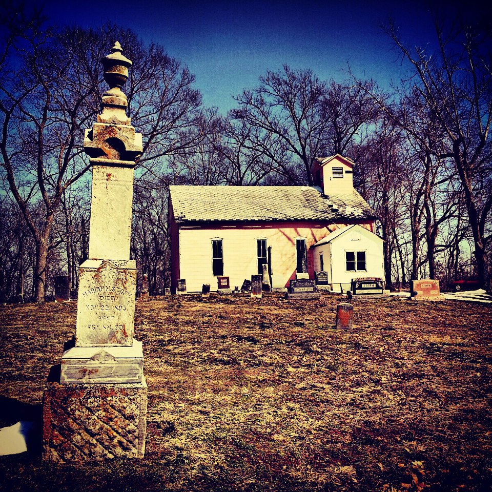
Pink Church

626.jpg

1039.jpg

Twisted Bridge
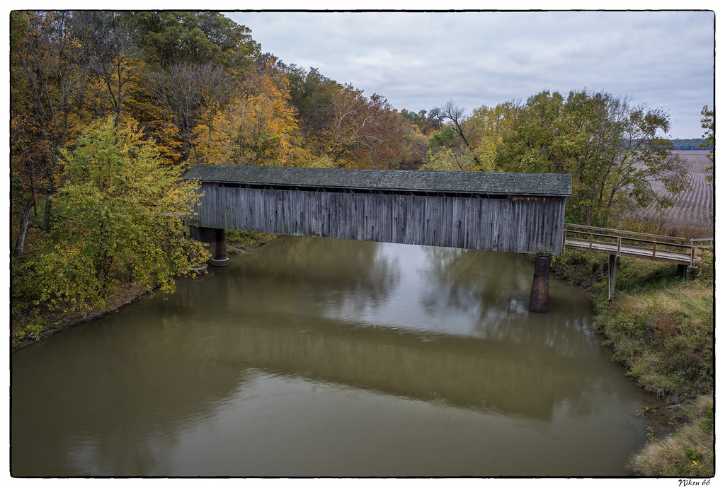
Thompson Mill Covered Bridge - No. 4
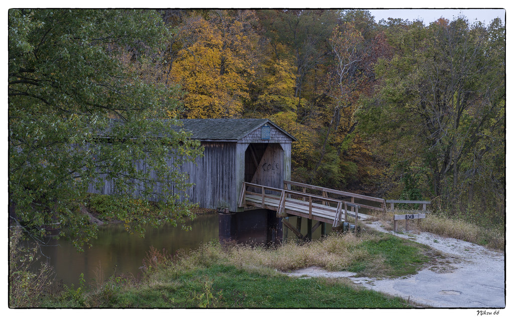
Thompson Mill Covered Bridge - No. 3
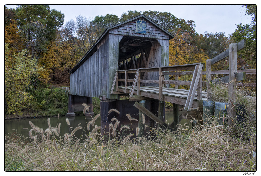
Thompson Mill Covered Bridge - No. 2
Thompson Mill Covered Bridge - No. 1

Thompson Mill Covered Bridge

Thompson Mill Covered Bridge Panoramic

DSCN1592(2)
The weathered scoreboard.

CA_07301312430098-2666545929-O

CA_07301312425768-2666545836-O

CA_07301312425635-2666545793-O

CA_07301312425441-2666545754-O
Mapa de Municipio de Prairie, Illinois, EE. UU.
Buscar otro lugar
lugares en Municipio de Prairie, Illinois, EE. UU.
Lugares cercanos
IL-32, Stewardson, IL, EE. UU.
Stewardson, Illinois, EE. UU.
S Pine St, Stewardson, IL, EE. UU.
Walnut St, Strasburg, IL, EE. UU.
Strasburg, Illinois, EE. UU.
E th Ave, Beecher City, IL, EE. UU.
Municipio de Liberty, Illinois, EE. UU.
29 E, Shelbyville, IL, EE. UU.
Municipio de Summit, Illinois, EE. UU.
Beecher City, Illinois, EE. UU.
th Ave, Altamont, IL, EE. UU.
Municipio de Moccasin, Illinois, EE. UU.
Municipio de Lakewood, Illinois, EE. UU.
Lakewood, IL, EE. UU.
Altamont, IL, EE. UU.
N Main St, Altamont, IL, EE. UU.
N, Lakewood, IL, EE. UU.
Municipio de Mound, Illinois, EE. UU.
11 Lincoln Dr, Altamont, IL, EE. UU.
E th Ave, Mason, IL, EE. UU.
Búsquedas recientes
- Horas de salida y puesta de sol de Red Dog Mine, AK, USA
- Horas de salida y puesta de sol de Am Bahnhof, Am bhf, Borken, Germany
- Horas de salida y puesta de sol de 4th St E, Sonoma, CA, EE. UU.
- Horas de salida y puesta de sol de Oakland Ave, Williamsport, PA, EE. UU.
- Horas de salida y puesta de sol de Via Roma, Pieranica CR, Italia
- Horas de salida y puesta de sol de Torre del reloj, Grad, Dubrovnik (Ragusa), Croacia
- Horas de salida y puesta de sol de Trelew, Chubut, Argentina
- Horas de salida y puesta de sol de Hartfords Bluff Cir, Mt Pleasant, SC, EE. UU.
- Horas de salida y puesta de sol de Kita Ward, Kumamoto, Japón
- Horas de salida y puesta de sol de Pingtan Island, Pingtan County, Fuzhou, China