Horas de salida y puesta de sol de Municipio de Portage, Míchigan, EE. UU.
Location: Estados Unidos > Míchigan > Condado de Mackinac >
Zona horaria:
America/New_York
Hora local:
2025-06-21 23:08:49
Longitud:
-85.7257327
Latitud:
46.1868751
Salida de sol de hoy:
05:51:41 AM
Puesta de sol de hoy:
09:38:28 PM
La duración del día hoy:
15h 46m 47s
Salida de sol de mañana:
05:52:00 AM
Puesta de sol de mañana:
09:38:36 PM
La duración del día mañana:
15h 46m 36s
Mostrar todas las fechas
| Fecha | Salida de sol | Puesta de sol | Duración del día |
|---|---|---|---|
| 01/01/2025 | 08:25:24 AM | 05:08:38 PM | 8h 43m 14s |
| 02/01/2025 | 08:25:21 AM | 05:09:37 PM | 8h 44m 16s |
| 03/01/2025 | 08:25:14 AM | 05:10:38 PM | 8h 45m 24s |
| 04/01/2025 | 08:25:05 AM | 05:11:41 PM | 8h 46m 36s |
| 05/01/2025 | 08:24:53 AM | 05:12:45 PM | 8h 47m 52s |
| 06/01/2025 | 08:24:39 AM | 05:13:52 PM | 8h 49m 13s |
| 07/01/2025 | 08:24:22 AM | 05:15:00 PM | 8h 50m 38s |
| 08/01/2025 | 08:24:02 AM | 05:16:09 PM | 8h 52m 7s |
| 09/01/2025 | 08:23:39 AM | 05:17:20 PM | 8h 53m 41s |
| 10/01/2025 | 08:23:14 AM | 05:18:33 PM | 8h 55m 19s |
| 11/01/2025 | 08:22:46 AM | 05:19:47 PM | 8h 57m 1s |
| 12/01/2025 | 08:22:16 AM | 05:21:02 PM | 8h 58m 46s |
| 13/01/2025 | 08:21:43 AM | 05:22:19 PM | 9h 0m 36s |
| 14/01/2025 | 08:21:07 AM | 05:23:37 PM | 9h 2m 30s |
| 15/01/2025 | 08:20:29 AM | 05:24:56 PM | 9h 4m 27s |
| 16/01/2025 | 08:19:49 AM | 05:26:16 PM | 9h 6m 27s |
| 17/01/2025 | 08:19:06 AM | 05:27:37 PM | 9h 8m 31s |
| 18/01/2025 | 08:18:21 AM | 05:28:59 PM | 9h 10m 38s |
| 19/01/2025 | 08:17:33 AM | 05:30:22 PM | 9h 12m 49s |
| 20/01/2025 | 08:16:43 AM | 05:31:46 PM | 9h 15m 3s |
| 21/01/2025 | 08:15:51 AM | 05:33:11 PM | 9h 17m 20s |
| 22/01/2025 | 08:14:57 AM | 05:34:36 PM | 9h 19m 39s |
| 23/01/2025 | 08:14:00 AM | 05:36:02 PM | 9h 22m 2s |
| 24/01/2025 | 08:13:01 AM | 05:37:28 PM | 9h 24m 27s |
| 25/01/2025 | 08:12:00 AM | 05:38:55 PM | 9h 26m 55s |
| 26/01/2025 | 08:10:57 AM | 05:40:23 PM | 9h 29m 26s |
| 27/01/2025 | 08:09:52 AM | 05:41:51 PM | 9h 31m 59s |
| 28/01/2025 | 08:08:44 AM | 05:43:19 PM | 9h 34m 35s |
| 29/01/2025 | 08:07:35 AM | 05:44:48 PM | 9h 37m 13s |
| 30/01/2025 | 08:06:24 AM | 05:46:17 PM | 9h 39m 53s |
| 31/01/2025 | 08:05:11 AM | 05:47:46 PM | 9h 42m 35s |
| 01/02/2025 | 08:03:56 AM | 05:49:15 PM | 9h 45m 19s |
| 02/02/2025 | 08:02:40 AM | 05:50:45 PM | 9h 48m 5s |
| 03/02/2025 | 08:01:21 AM | 05:52:15 PM | 9h 50m 54s |
| 04/02/2025 | 08:00:01 AM | 05:53:44 PM | 9h 53m 43s |
| 05/02/2025 | 07:58:40 AM | 05:55:14 PM | 9h 56m 34s |
| 06/02/2025 | 07:57:16 AM | 05:56:44 PM | 9h 59m 28s |
| 07/02/2025 | 07:55:52 AM | 05:58:14 PM | 10h 2m 22s |
| 08/02/2025 | 07:54:25 AM | 05:59:44 PM | 10h 5m 19s |
| 09/02/2025 | 07:52:57 AM | 06:01:14 PM | 10h 8m 17s |
| 10/02/2025 | 07:51:28 AM | 06:02:43 PM | 10h 11m 15s |
| 11/02/2025 | 07:49:57 AM | 06:04:13 PM | 10h 14m 16s |
| 12/02/2025 | 07:48:25 AM | 06:05:42 PM | 10h 17m 17s |
| 13/02/2025 | 07:46:51 AM | 06:07:11 PM | 10h 20m 20s |
| 14/02/2025 | 07:45:17 AM | 06:08:41 PM | 10h 23m 24s |
| 15/02/2025 | 07:43:41 AM | 06:10:09 PM | 10h 26m 28s |
| 16/02/2025 | 07:42:03 AM | 06:11:38 PM | 10h 29m 35s |
| 17/02/2025 | 07:40:25 AM | 06:13:07 PM | 10h 32m 42s |
| 18/02/2025 | 07:38:45 AM | 06:14:35 PM | 10h 35m 50s |
| 19/02/2025 | 07:37:05 AM | 06:16:03 PM | 10h 38m 58s |
| 20/02/2025 | 07:35:23 AM | 06:17:31 PM | 10h 42m 8s |
| 21/02/2025 | 07:33:41 AM | 06:18:58 PM | 10h 45m 17s |
| 22/02/2025 | 07:31:57 AM | 06:20:25 PM | 10h 48m 28s |
| 23/02/2025 | 07:30:12 AM | 06:21:52 PM | 10h 51m 40s |
| 24/02/2025 | 07:28:27 AM | 06:23:19 PM | 10h 54m 52s |
| 25/02/2025 | 07:26:41 AM | 06:24:45 PM | 10h 58m 4s |
| 26/02/2025 | 07:24:53 AM | 06:26:12 PM | 11h 1m 19s |
| 27/02/2025 | 07:23:06 AM | 06:27:37 PM | 11h 4m 31s |
| 28/02/2025 | 07:21:17 AM | 06:29:03 PM | 11h 7m 46s |
| 01/03/2025 | 07:19:27 AM | 06:30:28 PM | 11h 11m 1s |
| 02/03/2025 | 07:17:37 AM | 06:31:53 PM | 11h 14m 16s |
| 03/03/2025 | 07:15:47 AM | 06:33:18 PM | 11h 17m 31s |
| 04/03/2025 | 07:13:55 AM | 06:34:42 PM | 11h 20m 47s |
| 05/03/2025 | 07:12:03 AM | 06:36:07 PM | 11h 24m 4s |
| 06/03/2025 | 07:10:11 AM | 06:37:31 PM | 11h 27m 20s |
| 07/03/2025 | 07:08:18 AM | 06:38:54 PM | 11h 30m 36s |
| 08/03/2025 | 07:06:25 AM | 06:40:18 PM | 11h 33m 53s |
| 09/03/2025 | 08:04:35 AM | 07:41:37 PM | 11h 37m 2s |
| 10/03/2025 | 08:02:41 AM | 07:43:00 PM | 11h 40m 19s |
| 11/03/2025 | 08:00:47 AM | 07:44:23 PM | 11h 43m 36s |
| 12/03/2025 | 07:58:51 AM | 07:45:46 PM | 11h 46m 55s |
| 13/03/2025 | 07:56:56 AM | 07:47:08 PM | 11h 50m 12s |
| 14/03/2025 | 07:55:01 AM | 07:48:30 PM | 11h 53m 29s |
| 15/03/2025 | 07:53:05 AM | 07:49:52 PM | 11h 56m 47s |
| 16/03/2025 | 07:51:09 AM | 07:51:13 PM | 12h 0m 4s |
| 17/03/2025 | 07:49:12 AM | 07:52:35 PM | 12h 3m 23s |
| 18/03/2025 | 07:47:16 AM | 07:53:56 PM | 12h 6m 40s |
| 19/03/2025 | 07:45:19 AM | 07:55:18 PM | 12h 9m 59s |
| 20/03/2025 | 07:43:23 AM | 07:56:39 PM | 12h 13m 16s |
| 21/03/2025 | 07:41:26 AM | 07:57:59 PM | 12h 16m 33s |
| 22/03/2025 | 07:39:29 AM | 07:59:20 PM | 12h 19m 51s |
| 23/03/2025 | 07:37:32 AM | 08:00:41 PM | 12h 23m 9s |
| 24/03/2025 | 07:35:36 AM | 08:02:01 PM | 12h 26m 25s |
| 25/03/2025 | 07:33:39 AM | 08:03:22 PM | 12h 29m 43s |
| 26/03/2025 | 07:31:43 AM | 08:04:42 PM | 12h 32m 59s |
| 27/03/2025 | 07:29:46 AM | 08:06:02 PM | 12h 36m 16s |
| 28/03/2025 | 07:27:50 AM | 08:07:23 PM | 12h 39m 33s |
| 29/03/2025 | 07:25:54 AM | 08:08:43 PM | 12h 42m 49s |
| 30/03/2025 | 07:23:58 AM | 08:10:03 PM | 12h 46m 5s |
| 31/03/2025 | 07:22:02 AM | 08:11:23 PM | 12h 49m 21s |
| 01/04/2025 | 07:20:07 AM | 08:12:43 PM | 12h 52m 36s |
| 02/04/2025 | 07:18:12 AM | 08:14:03 PM | 12h 55m 51s |
| 03/04/2025 | 07:16:17 AM | 08:15:23 PM | 12h 59m 6s |
| 04/04/2025 | 07:14:23 AM | 08:16:43 PM | 13h 2m 20s |
| 05/04/2025 | 07:12:29 AM | 08:18:02 PM | 13h 5m 33s |
| 06/04/2025 | 07:10:35 AM | 08:19:22 PM | 13h 8m 47s |
| 07/04/2025 | 07:08:42 AM | 08:20:42 PM | 13h 12m 0s |
| 08/04/2025 | 07:06:50 AM | 08:22:02 PM | 13h 15m 12s |
| 09/04/2025 | 07:04:58 AM | 08:23:22 PM | 13h 18m 24s |
| 10/04/2025 | 07:03:06 AM | 08:24:42 PM | 13h 21m 36s |
| 11/04/2025 | 07:01:15 AM | 08:26:01 PM | 13h 24m 46s |
| 12/04/2025 | 06:59:25 AM | 08:27:21 PM | 13h 27m 56s |
| 13/04/2025 | 06:57:36 AM | 08:28:41 PM | 13h 31m 5s |
| 14/04/2025 | 06:55:47 AM | 08:30:01 PM | 13h 34m 14s |
| 15/04/2025 | 06:53:59 AM | 08:31:20 PM | 13h 37m 21s |
| 16/04/2025 | 06:52:11 AM | 08:32:40 PM | 13h 40m 29s |
| 17/04/2025 | 06:50:25 AM | 08:34:00 PM | 13h 43m 35s |
| 18/04/2025 | 06:48:39 AM | 08:35:20 PM | 13h 46m 41s |
| 19/04/2025 | 06:46:54 AM | 08:36:39 PM | 13h 49m 45s |
| 20/04/2025 | 06:45:10 AM | 08:37:59 PM | 13h 52m 49s |
| 21/04/2025 | 06:43:27 AM | 08:39:18 PM | 13h 55m 51s |
| 22/04/2025 | 06:41:45 AM | 08:40:38 PM | 13h 58m 53s |
| 23/04/2025 | 06:40:04 AM | 08:41:57 PM | 14h 1m 53s |
| 24/04/2025 | 06:38:24 AM | 08:43:17 PM | 14h 4m 53s |
| 25/04/2025 | 06:36:45 AM | 08:44:36 PM | 14h 7m 51s |
| 26/04/2025 | 06:35:07 AM | 08:45:55 PM | 14h 10m 48s |
| 27/04/2025 | 06:33:31 AM | 08:47:14 PM | 14h 13m 43s |
| 28/04/2025 | 06:31:55 AM | 08:48:32 PM | 14h 16m 37s |
| 29/04/2025 | 06:30:21 AM | 08:49:51 PM | 14h 19m 30s |
| 30/04/2025 | 06:28:48 AM | 08:51:09 PM | 14h 22m 21s |
| 01/05/2025 | 06:27:17 AM | 08:52:28 PM | 14h 25m 11s |
| 02/05/2025 | 06:25:46 AM | 08:53:45 PM | 14h 27m 59s |
| 03/05/2025 | 06:24:18 AM | 08:55:03 PM | 14h 30m 45s |
| 04/05/2025 | 06:22:50 AM | 08:56:20 PM | 14h 33m 30s |
| 05/05/2025 | 06:21:24 AM | 08:57:37 PM | 14h 36m 13s |
| 06/05/2025 | 06:20:00 AM | 08:58:54 PM | 14h 38m 54s |
| 07/05/2025 | 06:18:37 AM | 09:00:10 PM | 14h 41m 33s |
| 08/05/2025 | 06:17:15 AM | 09:01:26 PM | 14h 44m 11s |
| 09/05/2025 | 06:15:56 AM | 09:02:41 PM | 14h 46m 45s |
| 10/05/2025 | 06:14:37 AM | 09:03:56 PM | 14h 49m 19s |
| 11/05/2025 | 06:13:21 AM | 09:05:10 PM | 14h 51m 49s |
| 12/05/2025 | 06:12:06 AM | 09:06:24 PM | 14h 54m 18s |
| 13/05/2025 | 06:10:53 AM | 09:07:37 PM | 14h 56m 44s |
| 14/05/2025 | 06:09:42 AM | 09:08:49 PM | 14h 59m 7s |
| 15/05/2025 | 06:08:33 AM | 09:10:01 PM | 15h 1m 28s |
| 16/05/2025 | 06:07:25 AM | 09:11:12 PM | 15h 3m 47s |
| 17/05/2025 | 06:06:20 AM | 09:12:22 PM | 15h 6m 2s |
| 18/05/2025 | 06:05:16 AM | 09:13:31 PM | 15h 8m 15s |
| 19/05/2025 | 06:04:15 AM | 09:14:40 PM | 15h 10m 25s |
| 20/05/2025 | 06:03:15 AM | 09:15:47 PM | 15h 12m 32s |
| 21/05/2025 | 06:02:18 AM | 09:16:54 PM | 15h 14m 36s |
| 22/05/2025 | 06:01:22 AM | 09:17:59 PM | 15h 16m 37s |
| 23/05/2025 | 06:00:29 AM | 09:19:03 PM | 15h 18m 34s |
| 24/05/2025 | 05:59:38 AM | 09:20:06 PM | 15h 20m 28s |
| 25/05/2025 | 05:58:49 AM | 09:21:08 PM | 15h 22m 19s |
| 26/05/2025 | 05:58:02 AM | 09:22:09 PM | 15h 24m 7s |
| 27/05/2025 | 05:57:17 AM | 09:23:09 PM | 15h 25m 52s |
| 28/05/2025 | 05:56:35 AM | 09:24:07 PM | 15h 27m 32s |
| 29/05/2025 | 05:55:55 AM | 09:25:03 PM | 15h 29m 8s |
| 30/05/2025 | 05:55:17 AM | 09:25:58 PM | 15h 30m 41s |
| 31/05/2025 | 05:54:42 AM | 09:26:52 PM | 15h 32m 10s |
| 01/06/2025 | 05:54:09 AM | 09:27:44 PM | 15h 33m 35s |
| 02/06/2025 | 05:53:38 AM | 09:28:35 PM | 15h 34m 57s |
| 03/06/2025 | 05:53:10 AM | 09:29:24 PM | 15h 36m 14s |
| 04/06/2025 | 05:52:44 AM | 09:30:11 PM | 15h 37m 27s |
| 05/06/2025 | 05:52:20 AM | 09:30:56 PM | 15h 38m 36s |
| 06/06/2025 | 05:51:59 AM | 09:31:39 PM | 15h 39m 40s |
| 07/06/2025 | 05:51:40 AM | 09:32:21 PM | 15h 40m 41s |
| 08/06/2025 | 05:51:24 AM | 09:33:01 PM | 15h 41m 37s |
| 09/06/2025 | 05:51:10 AM | 09:33:39 PM | 15h 42m 29s |
| 10/06/2025 | 05:50:59 AM | 09:34:14 PM | 15h 43m 15s |
| 11/06/2025 | 05:50:50 AM | 09:34:48 PM | 15h 43m 58s |
| 12/06/2025 | 05:50:43 AM | 09:35:20 PM | 15h 44m 37s |
| 13/06/2025 | 05:50:39 AM | 09:35:49 PM | 15h 45m 10s |
| 14/06/2025 | 05:50:38 AM | 09:36:16 PM | 15h 45m 38s |
| 15/06/2025 | 05:50:38 AM | 09:36:41 PM | 15h 46m 3s |
| 16/06/2025 | 05:50:42 AM | 09:37:04 PM | 15h 46m 22s |
| 17/06/2025 | 05:50:47 AM | 09:37:25 PM | 15h 46m 38s |
| 18/06/2025 | 05:50:55 AM | 09:37:43 PM | 15h 46m 48s |
| 19/06/2025 | 05:51:05 AM | 09:37:59 PM | 15h 46m 54s |
| 20/06/2025 | 05:51:18 AM | 09:38:12 PM | 15h 46m 54s |
| 21/06/2025 | 05:51:33 AM | 09:38:23 PM | 15h 46m 50s |
| 22/06/2025 | 05:51:50 AM | 09:38:32 PM | 15h 46m 42s |
| 23/06/2025 | 05:52:10 AM | 09:38:38 PM | 15h 46m 28s |
| 24/06/2025 | 05:52:31 AM | 09:38:42 PM | 15h 46m 11s |
| 25/06/2025 | 05:52:55 AM | 09:38:44 PM | 15h 45m 49s |
| 26/06/2025 | 05:53:21 AM | 09:38:43 PM | 15h 45m 22s |
| 27/06/2025 | 05:53:49 AM | 09:38:39 PM | 15h 44m 50s |
| 28/06/2025 | 05:54:19 AM | 09:38:33 PM | 15h 44m 14s |
| 29/06/2025 | 05:54:52 AM | 09:38:25 PM | 15h 43m 33s |
| 30/06/2025 | 05:55:26 AM | 09:38:14 PM | 15h 42m 48s |
| 01/07/2025 | 05:56:02 AM | 09:38:00 PM | 15h 41m 58s |
| 02/07/2025 | 05:56:40 AM | 09:37:44 PM | 15h 41m 4s |
| 03/07/2025 | 05:57:20 AM | 09:37:26 PM | 15h 40m 6s |
| 04/07/2025 | 05:58:02 AM | 09:37:05 PM | 15h 39m 3s |
| 05/07/2025 | 05:58:45 AM | 09:36:42 PM | 15h 37m 57s |
| 06/07/2025 | 05:59:30 AM | 09:36:16 PM | 15h 36m 46s |
| 07/07/2025 | 06:00:17 AM | 09:35:48 PM | 15h 35m 31s |
| 08/07/2025 | 06:01:06 AM | 09:35:17 PM | 15h 34m 11s |
| 09/07/2025 | 06:01:56 AM | 09:34:44 PM | 15h 32m 48s |
| 10/07/2025 | 06:02:47 AM | 09:34:09 PM | 15h 31m 22s |
| 11/07/2025 | 06:03:40 AM | 09:33:31 PM | 15h 29m 51s |
| 12/07/2025 | 06:04:35 AM | 09:32:51 PM | 15h 28m 16s |
| 13/07/2025 | 06:05:30 AM | 09:32:08 PM | 15h 26m 38s |
| 14/07/2025 | 06:06:28 AM | 09:31:24 PM | 15h 24m 56s |
| 15/07/2025 | 06:07:26 AM | 09:30:37 PM | 15h 23m 11s |
| 16/07/2025 | 06:08:25 AM | 09:29:48 PM | 15h 21m 23s |
| 17/07/2025 | 06:09:26 AM | 09:28:56 PM | 15h 19m 30s |
| 18/07/2025 | 06:10:27 AM | 09:28:03 PM | 15h 17m 36s |
| 19/07/2025 | 06:11:30 AM | 09:27:07 PM | 15h 15m 37s |
| 20/07/2025 | 06:12:34 AM | 09:26:09 PM | 15h 13m 35s |
| 21/07/2025 | 06:13:38 AM | 09:25:09 PM | 15h 11m 31s |
| 22/07/2025 | 06:14:44 AM | 09:24:07 PM | 15h 9m 23s |
| 23/07/2025 | 06:15:50 AM | 09:23:03 PM | 15h 7m 13s |
| 24/07/2025 | 06:16:57 AM | 09:21:57 PM | 15h 5m 0s |
| 25/07/2025 | 06:18:05 AM | 09:20:49 PM | 15h 2m 44s |
| 26/07/2025 | 06:19:14 AM | 09:19:40 PM | 15h 0m 26s |
| 27/07/2025 | 06:20:23 AM | 09:18:28 PM | 14h 58m 5s |
| 28/07/2025 | 06:21:33 AM | 09:17:15 PM | 14h 55m 42s |
| 29/07/2025 | 06:22:43 AM | 09:15:59 PM | 14h 53m 16s |
| 30/07/2025 | 06:23:54 AM | 09:14:42 PM | 14h 50m 48s |
| 31/07/2025 | 06:25:06 AM | 09:13:24 PM | 14h 48m 18s |
| 01/08/2025 | 06:26:18 AM | 09:12:03 PM | 14h 45m 45s |
| 02/08/2025 | 06:27:30 AM | 09:10:41 PM | 14h 43m 11s |
| 03/08/2025 | 06:28:43 AM | 09:09:18 PM | 14h 40m 35s |
| 04/08/2025 | 06:29:56 AM | 09:07:53 PM | 14h 37m 57s |
| 05/08/2025 | 06:31:09 AM | 09:06:26 PM | 14h 35m 17s |
| 06/08/2025 | 06:32:23 AM | 09:04:58 PM | 14h 32m 35s |
| 07/08/2025 | 06:33:37 AM | 09:03:28 PM | 14h 29m 51s |
| 08/08/2025 | 06:34:51 AM | 09:01:57 PM | 14h 27m 6s |
| 09/08/2025 | 06:36:05 AM | 09:00:25 PM | 14h 24m 20s |
| 10/08/2025 | 06:37:20 AM | 08:58:51 PM | 14h 21m 31s |
| 11/08/2025 | 06:38:34 AM | 08:57:16 PM | 14h 18m 42s |
| 12/08/2025 | 06:39:49 AM | 08:55:40 PM | 14h 15m 51s |
| 13/08/2025 | 06:41:04 AM | 08:54:03 PM | 14h 12m 59s |
| 14/08/2025 | 06:42:19 AM | 08:52:24 PM | 14h 10m 5s |
| 15/08/2025 | 06:43:35 AM | 08:50:44 PM | 14h 7m 9s |
| 16/08/2025 | 06:44:50 AM | 08:49:04 PM | 14h 4m 14s |
| 17/08/2025 | 06:46:05 AM | 08:47:22 PM | 14h 1m 17s |
| 18/08/2025 | 06:47:20 AM | 08:45:39 PM | 13h 58m 19s |
| 19/08/2025 | 06:48:36 AM | 08:43:55 PM | 13h 55m 19s |
| 20/08/2025 | 06:49:51 AM | 08:42:10 PM | 13h 52m 19s |
| 21/08/2025 | 06:51:07 AM | 08:40:24 PM | 13h 49m 17s |
| 22/08/2025 | 06:52:22 AM | 08:38:37 PM | 13h 46m 15s |
| 23/08/2025 | 06:53:38 AM | 08:36:50 PM | 13h 43m 12s |
| 24/08/2025 | 06:54:53 AM | 08:35:01 PM | 13h 40m 8s |
| 25/08/2025 | 06:56:08 AM | 08:33:12 PM | 13h 37m 4s |
| 26/08/2025 | 06:57:24 AM | 08:31:22 PM | 13h 33m 58s |
| 27/08/2025 | 06:58:39 AM | 08:29:31 PM | 13h 30m 52s |
| 28/08/2025 | 06:59:54 AM | 08:27:40 PM | 13h 27m 46s |
| 29/08/2025 | 07:01:10 AM | 08:25:48 PM | 13h 24m 38s |
| 30/08/2025 | 07:02:25 AM | 08:23:55 PM | 13h 21m 30s |
| 31/08/2025 | 07:03:40 AM | 08:22:02 PM | 13h 18m 22s |
| 01/09/2025 | 07:04:55 AM | 08:20:08 PM | 13h 15m 13s |
| 02/09/2025 | 07:06:11 AM | 08:18:14 PM | 13h 12m 3s |
| 03/09/2025 | 07:07:26 AM | 08:16:19 PM | 13h 8m 53s |
| 04/09/2025 | 07:08:41 AM | 08:14:24 PM | 13h 5m 43s |
| 05/09/2025 | 07:09:56 AM | 08:12:28 PM | 13h 2m 32s |
| 06/09/2025 | 07:11:11 AM | 08:10:32 PM | 12h 59m 21s |
| 07/09/2025 | 07:12:27 AM | 08:08:35 PM | 12h 56m 8s |
| 08/09/2025 | 07:13:42 AM | 08:06:38 PM | 12h 52m 56s |
| 09/09/2025 | 07:14:57 AM | 08:04:41 PM | 12h 49m 44s |
| 10/09/2025 | 07:16:12 AM | 08:02:44 PM | 12h 46m 32s |
| 11/09/2025 | 07:17:27 AM | 08:00:46 PM | 12h 43m 19s |
| 12/09/2025 | 07:18:43 AM | 07:58:48 PM | 12h 40m 5s |
| 13/09/2025 | 07:19:58 AM | 07:56:50 PM | 12h 36m 52s |
| 14/09/2025 | 07:21:14 AM | 07:54:52 PM | 12h 33m 38s |
| 15/09/2025 | 07:22:29 AM | 07:52:54 PM | 12h 30m 25s |
| 16/09/2025 | 07:23:45 AM | 07:50:55 PM | 12h 27m 10s |
| 17/09/2025 | 07:25:00 AM | 07:48:57 PM | 12h 23m 57s |
| 18/09/2025 | 07:26:16 AM | 07:46:58 PM | 12h 20m 42s |
| 19/09/2025 | 07:27:32 AM | 07:44:59 PM | 12h 17m 27s |
| 20/09/2025 | 07:28:48 AM | 07:43:01 PM | 12h 14m 13s |
| 21/09/2025 | 07:30:04 AM | 07:41:02 PM | 12h 10m 58s |
| 22/09/2025 | 07:31:20 AM | 07:39:04 PM | 12h 7m 44s |
| 23/09/2025 | 07:32:37 AM | 07:37:06 PM | 12h 4m 29s |
| 24/09/2025 | 07:33:53 AM | 07:35:07 PM | 12h 1m 14s |
| 25/09/2025 | 07:35:10 AM | 07:33:09 PM | 11h 57m 59s |
| 26/09/2025 | 07:36:27 AM | 07:31:12 PM | 11h 54m 45s |
| 27/09/2025 | 07:37:44 AM | 07:29:14 PM | 11h 51m 30s |
| 28/09/2025 | 07:39:01 AM | 07:27:17 PM | 11h 48m 16s |
| 29/09/2025 | 07:40:19 AM | 07:25:20 PM | 11h 45m 1s |
| 30/09/2025 | 07:41:37 AM | 07:23:23 PM | 11h 41m 46s |
| 01/10/2025 | 07:42:55 AM | 07:21:27 PM | 11h 38m 32s |
| 02/10/2025 | 07:44:13 AM | 07:19:31 PM | 11h 35m 18s |
| 03/10/2025 | 07:45:32 AM | 07:17:35 PM | 11h 32m 3s |
| 04/10/2025 | 07:46:50 AM | 07:15:40 PM | 11h 28m 50s |
| 05/10/2025 | 07:48:09 AM | 07:13:46 PM | 11h 25m 37s |
| 06/10/2025 | 07:49:29 AM | 07:11:52 PM | 11h 22m 23s |
| 07/10/2025 | 07:50:48 AM | 07:09:58 PM | 11h 19m 10s |
| 08/10/2025 | 07:52:08 AM | 07:08:05 PM | 11h 15m 57s |
| 09/10/2025 | 07:53:28 AM | 07:06:13 PM | 11h 12m 45s |
| 10/10/2025 | 07:54:49 AM | 07:04:22 PM | 11h 9m 33s |
| 11/10/2025 | 07:56:10 AM | 07:02:31 PM | 11h 6m 21s |
| 12/10/2025 | 07:57:31 AM | 07:00:40 PM | 11h 3m 9s |
| 13/10/2025 | 07:58:52 AM | 06:58:51 PM | 10h 59m 59s |
| 14/10/2025 | 08:00:14 AM | 06:57:02 PM | 10h 56m 48s |
| 15/10/2025 | 08:01:36 AM | 06:55:15 PM | 10h 53m 39s |
| 16/10/2025 | 08:02:58 AM | 06:53:28 PM | 10h 50m 30s |
| 17/10/2025 | 08:04:20 AM | 06:51:42 PM | 10h 47m 22s |
| 18/10/2025 | 08:05:43 AM | 06:49:56 PM | 10h 44m 13s |
| 19/10/2025 | 08:07:06 AM | 06:48:12 PM | 10h 41m 6s |
| 20/10/2025 | 08:08:30 AM | 06:46:29 PM | 10h 37m 59s |
| 21/10/2025 | 08:09:54 AM | 06:44:47 PM | 10h 34m 53s |
| 22/10/2025 | 08:11:18 AM | 06:43:06 PM | 10h 31m 48s |
| 23/10/2025 | 08:12:42 AM | 06:41:26 PM | 10h 28m 44s |
| 24/10/2025 | 08:14:06 AM | 06:39:47 PM | 10h 25m 41s |
| 25/10/2025 | 08:15:31 AM | 06:38:10 PM | 10h 22m 39s |
| 26/10/2025 | 08:16:56 AM | 06:36:34 PM | 10h 19m 38s |
| 27/10/2025 | 08:18:21 AM | 06:34:59 PM | 10h 16m 38s |
| 28/10/2025 | 08:19:47 AM | 06:33:25 PM | 10h 13m 38s |
| 29/10/2025 | 08:21:13 AM | 06:31:53 PM | 10h 10m 40s |
| 30/10/2025 | 08:22:38 AM | 06:30:22 PM | 10h 7m 44s |
| 31/10/2025 | 08:24:04 AM | 06:28:52 PM | 10h 4m 48s |
| 01/11/2025 | 08:25:30 AM | 06:27:24 PM | 10h 1m 54s |
| 02/11/2025 | 07:27:00 AM | 05:25:54 PM | 9h 58m 54s |
| 03/11/2025 | 07:28:26 AM | 05:24:30 PM | 9h 56m 4s |
| 04/11/2025 | 07:29:52 AM | 05:23:07 PM | 9h 53m 15s |
| 05/11/2025 | 07:31:18 AM | 05:21:45 PM | 9h 50m 27s |
| 06/11/2025 | 07:32:45 AM | 05:20:25 PM | 9h 47m 40s |
| 07/11/2025 | 07:34:11 AM | 05:19:07 PM | 9h 44m 56s |
| 08/11/2025 | 07:35:37 AM | 05:17:51 PM | 9h 42m 14s |
| 09/11/2025 | 07:37:02 AM | 05:16:37 PM | 9h 39m 35s |
| 10/11/2025 | 07:38:28 AM | 05:15:24 PM | 9h 36m 56s |
| 11/11/2025 | 07:39:54 AM | 05:14:13 PM | 9h 34m 19s |
| 12/11/2025 | 07:41:19 AM | 05:13:05 PM | 9h 31m 46s |
| 13/11/2025 | 07:42:44 AM | 05:11:58 PM | 9h 29m 14s |
| 14/11/2025 | 07:44:08 AM | 05:10:54 PM | 9h 26m 46s |
| 15/11/2025 | 07:45:32 AM | 05:09:51 PM | 9h 24m 19s |
| 16/11/2025 | 07:46:56 AM | 05:08:51 PM | 9h 21m 55s |
| 17/11/2025 | 07:48:19 AM | 05:07:53 PM | 9h 19m 34s |
| 18/11/2025 | 07:49:42 AM | 05:06:57 PM | 9h 17m 15s |
| 19/11/2025 | 07:51:03 AM | 05:06:03 PM | 9h 15m 0s |
| 20/11/2025 | 07:52:25 AM | 05:05:12 PM | 9h 12m 47s |
| 21/11/2025 | 07:53:45 AM | 05:04:23 PM | 9h 10m 38s |
| 22/11/2025 | 07:55:05 AM | 05:03:36 PM | 9h 8m 31s |
| 23/11/2025 | 07:56:24 AM | 05:02:52 PM | 9h 6m 28s |
| 24/11/2025 | 07:57:42 AM | 05:02:10 PM | 9h 4m 28s |
| 25/11/2025 | 07:58:59 AM | 05:01:30 PM | 9h 2m 31s |
| 26/11/2025 | 08:00:14 AM | 05:00:54 PM | 9h 0m 40s |
| 27/11/2025 | 08:01:29 AM | 05:00:19 PM | 8h 58m 50s |
| 28/11/2025 | 08:02:43 AM | 04:59:48 PM | 8h 57m 5s |
| 29/11/2025 | 08:03:55 AM | 04:59:19 PM | 8h 55m 24s |
| 30/11/2025 | 08:05:06 AM | 04:58:52 PM | 8h 53m 46s |
| 01/12/2025 | 08:06:16 AM | 04:58:28 PM | 8h 52m 12s |
| 02/12/2025 | 08:07:24 AM | 04:58:07 PM | 8h 50m 43s |
| 03/12/2025 | 08:08:31 AM | 04:57:49 PM | 8h 49m 18s |
| 04/12/2025 | 08:09:36 AM | 04:57:33 PM | 8h 47m 57s |
| 05/12/2025 | 08:10:39 AM | 04:57:20 PM | 8h 46m 41s |
| 06/12/2025 | 08:11:41 AM | 04:57:10 PM | 8h 45m 29s |
| 07/12/2025 | 08:12:41 AM | 04:57:03 PM | 8h 44m 22s |
| 08/12/2025 | 08:13:39 AM | 04:56:58 PM | 8h 43m 19s |
| 09/12/2025 | 08:14:35 AM | 04:56:56 PM | 8h 42m 21s |
| 10/12/2025 | 08:15:29 AM | 04:56:57 PM | 8h 41m 28s |
| 11/12/2025 | 08:16:21 AM | 04:57:00 PM | 8h 40m 39s |
| 12/12/2025 | 08:17:11 AM | 04:57:07 PM | 8h 39m 56s |
| 13/12/2025 | 08:17:59 AM | 04:57:16 PM | 8h 39m 17s |
| 14/12/2025 | 08:18:45 AM | 04:57:28 PM | 8h 38m 43s |
| 15/12/2025 | 08:19:29 AM | 04:57:43 PM | 8h 38m 14s |
| 16/12/2025 | 08:20:10 AM | 04:58:00 PM | 8h 37m 50s |
| 17/12/2025 | 08:20:49 AM | 04:58:20 PM | 8h 37m 31s |
| 18/12/2025 | 08:21:25 AM | 04:58:43 PM | 8h 37m 18s |
| 19/12/2025 | 08:21:59 AM | 04:59:08 PM | 8h 37m 9s |
| 20/12/2025 | 08:22:30 AM | 04:59:36 PM | 8h 37m 6s |
| 21/12/2025 | 08:22:59 AM | 05:00:07 PM | 8h 37m 8s |
| 22/12/2025 | 08:23:26 AM | 05:00:40 PM | 8h 37m 14s |
| 23/12/2025 | 08:23:50 AM | 05:01:16 PM | 8h 37m 26s |
| 24/12/2025 | 08:24:11 AM | 05:01:54 PM | 8h 37m 43s |
| 25/12/2025 | 08:24:30 AM | 05:02:35 PM | 8h 38m 5s |
| 26/12/2025 | 08:24:46 AM | 05:03:18 PM | 8h 38m 32s |
| 27/12/2025 | 08:24:59 AM | 05:04:03 PM | 8h 39m 4s |
| 28/12/2025 | 08:25:09 AM | 05:04:51 PM | 8h 39m 42s |
| 29/12/2025 | 08:25:17 AM | 05:05:41 PM | 8h 40m 24s |
| 30/12/2025 | 08:25:23 AM | 05:06:33 PM | 8h 41m 10s |
| 31/12/2025 | 08:25:25 AM | 05:07:28 PM | 8h 42m 3s |
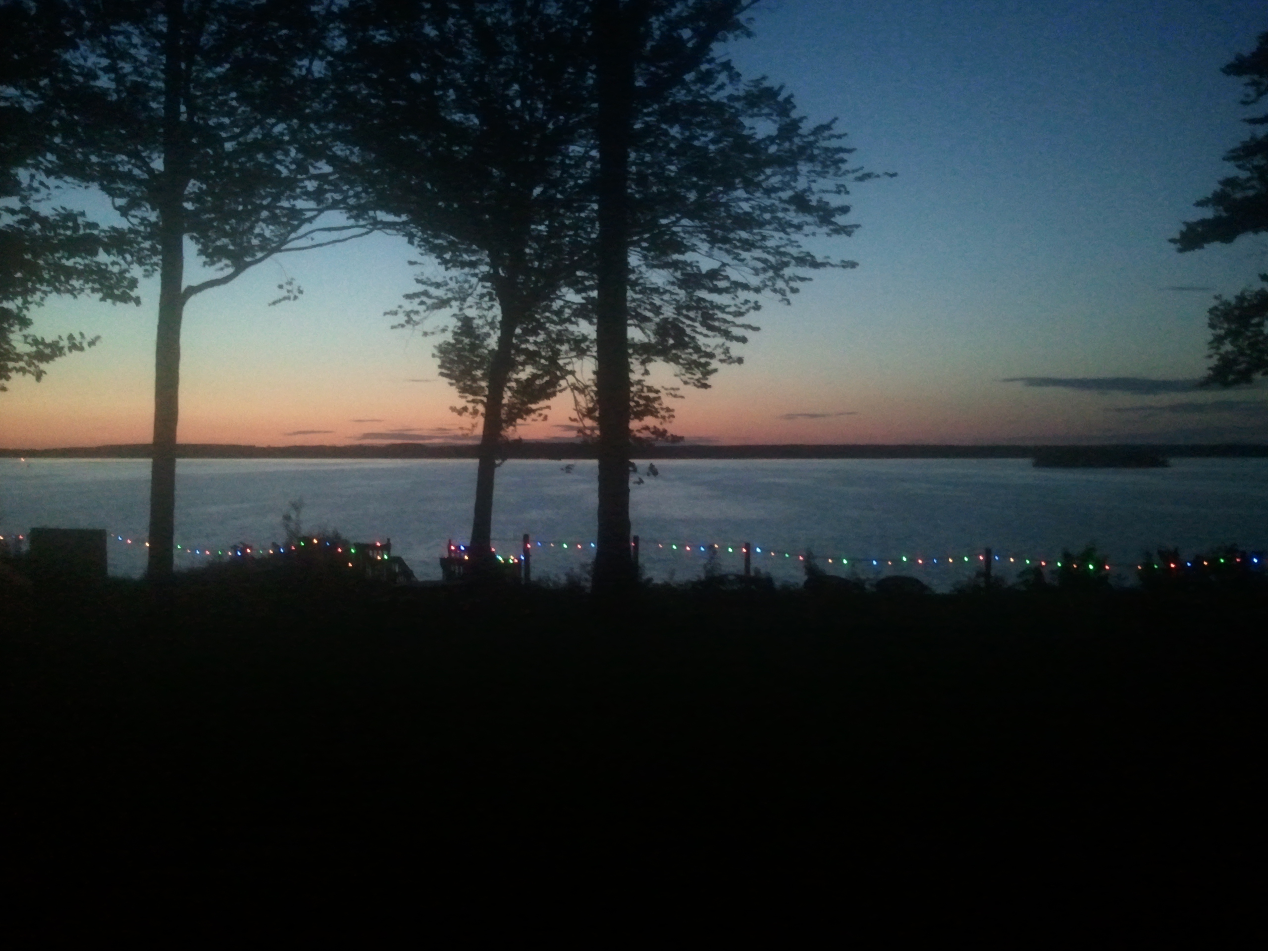
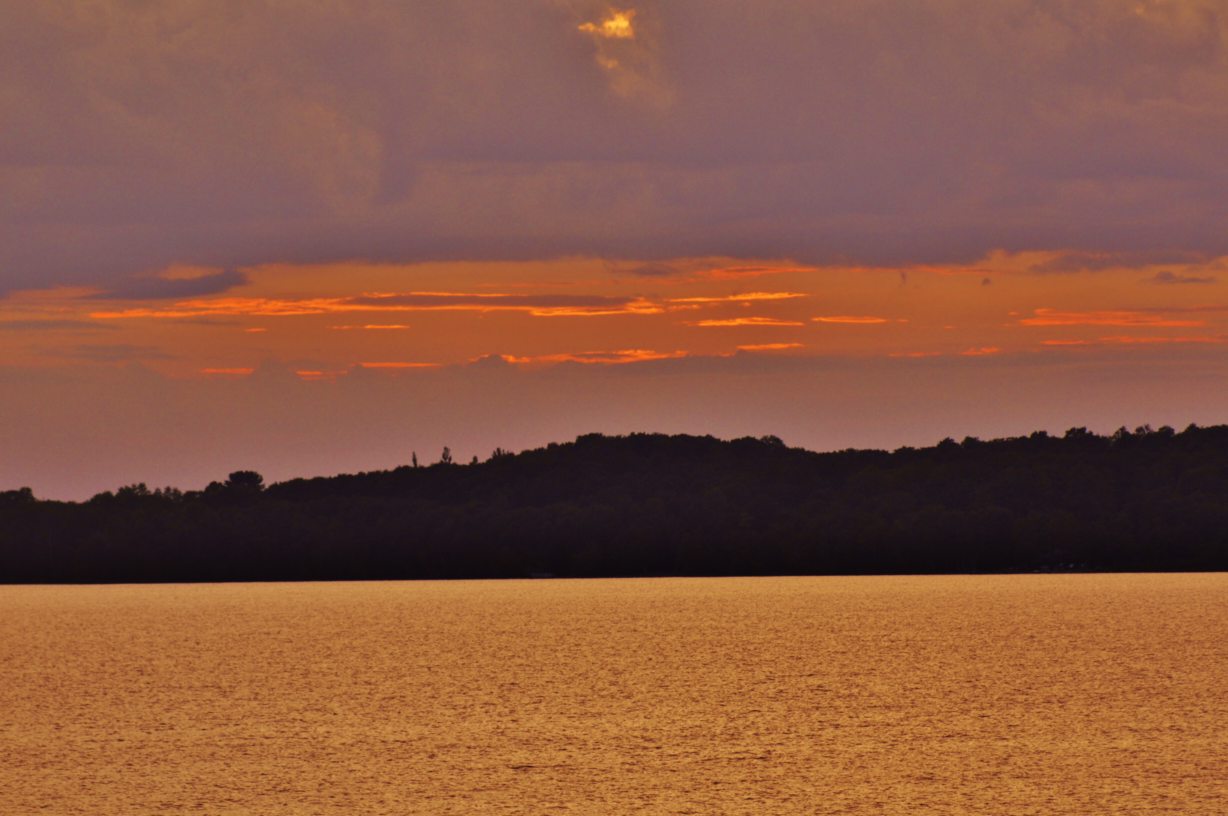
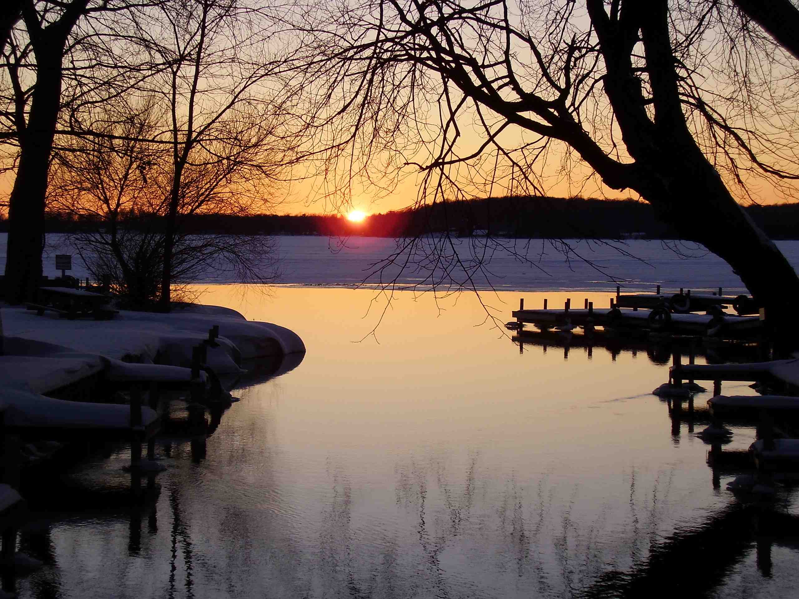
Fotos
Sunset at Chamberlans

Late sun on Pine Creek
sunset up north 2012
Sunset at Curtis, MI
Curtis Michigan

NV Rock Ball

Far ranger-ing.
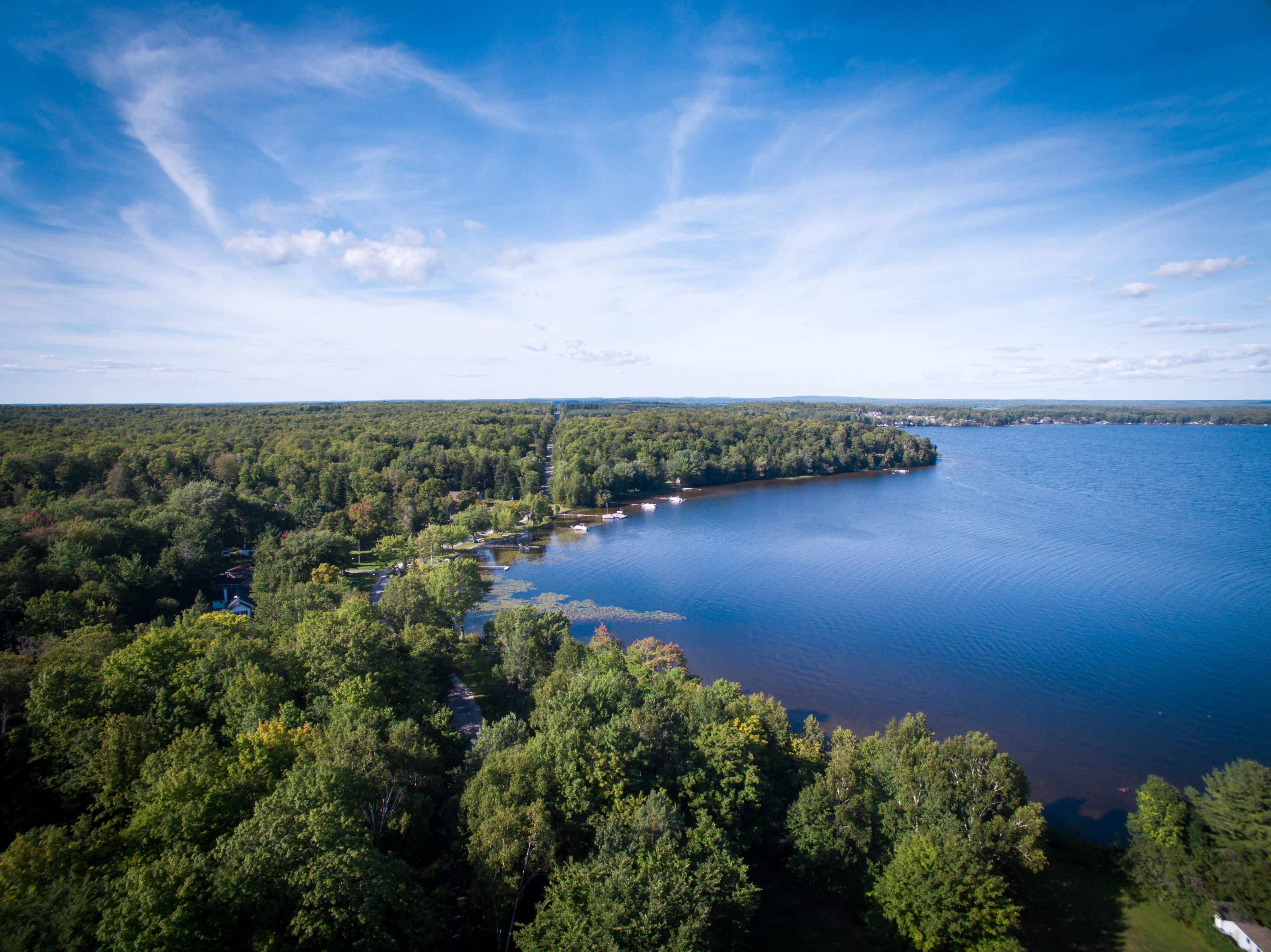
South Manistique Lake
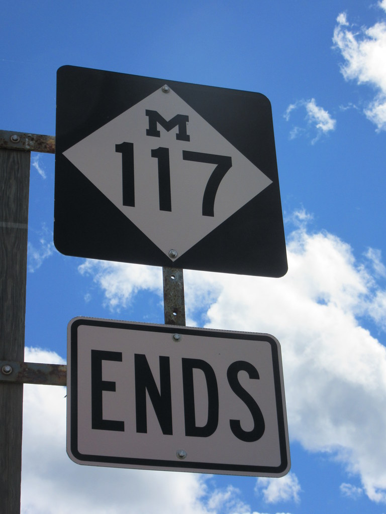
State route 117 ends _ Michigan
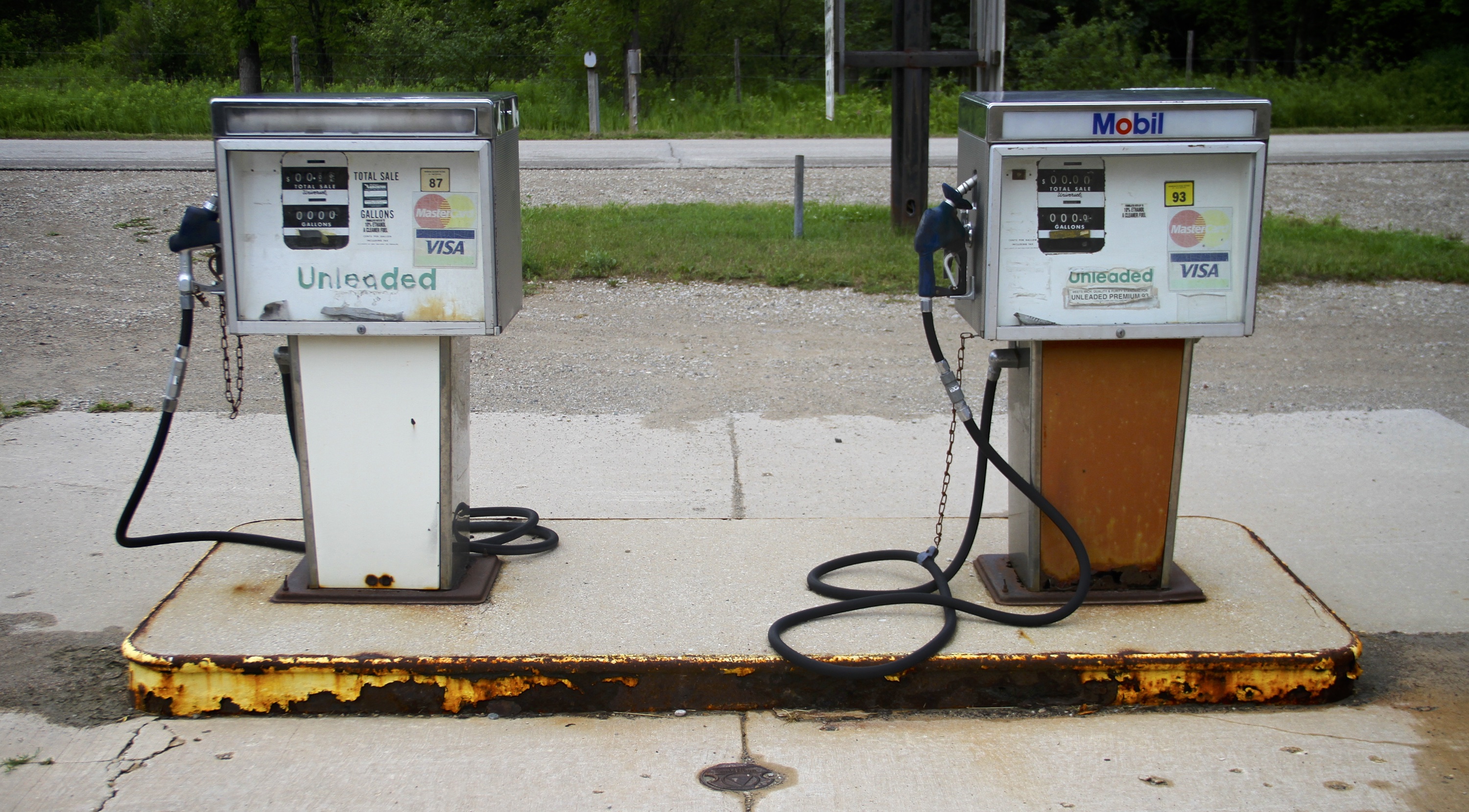
Pumping decay.

guzinski grabowski gerwatowski

2014 Ford F150

2014 F150
Black Creek Flooding
2014-09-03 07.46.11

2014-09-03 07.29.16
2014-09-03 07.29.10
2014-09-03 07.28.14
2014-09-03 07.05.28

Old homestead

Black Creek Flooding

Black Creek Flooding
2013 Road Trip around Lake Michigan (joined with Grandpa and Grandma at the end)
UP 2013-01 025

UP 2013-01 027
Mapa de Municipio de Portage, Míchigan, EE. UU.
Buscar otro lugar
lugares en Municipio de Portage, Míchigan, EE. UU.
Lugares cercanos
Curtis, MI, EE. UU.
Sunset Pointe Resort, W Sunset Pointe Dr, Curtis, MI, EE. UU.
Municipio de Newton, Míchigan, EE. UU.
Newton Township, MI, EE. UU.
Main St, Gould City, MI, EE. UU.
Municipio de Lakefield, Míchigan, EE. UU.
McMillan, MI, EE. UU.
Newberry, Míchigan, EE. UU.
St. James, Míchigan, EE. UU.
Stephen Ct, Beaver Island, MI, EE. UU.
Allen's Lakeview Rd, Beaver Island, MI, EE. UU.
Allen's Lakeview Rd, Beaver Island, MI, EE. UU.
Beaver Island, MI, EE. UU.
Beaver Island, MI, EE. UU.
Municipio de Peaine, Míchigan, EE. UU.
Municipio de Chippewa, Míchigan, EE. UU.
Condado de Mackinac, Míchigan, EE. UU.
US-2, Moran, MI, EE. UU.
Municipio de Brevort, Míchigan, EE. UU.
N Lake Shore Dr, Harbor Springs, MI, EE. UU.
Búsquedas recientes
- Horas de salida y puesta de sol de Red Dog Mine, AK, USA
- Horas de salida y puesta de sol de Am Bahnhof, Am bhf, Borken, Germany
- Horas de salida y puesta de sol de 4th St E, Sonoma, CA, EE. UU.
- Horas de salida y puesta de sol de Oakland Ave, Williamsport, PA, EE. UU.
- Horas de salida y puesta de sol de Via Roma, Pieranica CR, Italia
- Horas de salida y puesta de sol de Torre del reloj, Grad, Dubrovnik (Ragusa), Croacia
- Horas de salida y puesta de sol de Trelew, Chubut, Argentina
- Horas de salida y puesta de sol de Hartfords Bluff Cir, Mt Pleasant, SC, EE. UU.
- Horas de salida y puesta de sol de Kita Ward, Kumamoto, Japón
- Horas de salida y puesta de sol de Pingtan Island, Pingtan County, Fuzhou, China