Horas de salida y puesta de sol de Piñon Hills, California, EE. UU.
Location: Estados Unidos > California > Condado de San Bernardino >
Zona horaria:
America/Los_Angeles
Hora local:
2025-06-13 01:01:17
Longitud:
-117.6467917
Latitud:
34.433237
Salida de sol de hoy:
05:37:35 AM
Puesta de sol de hoy:
08:04:05 PM
La duración del día hoy:
14h 26m 30s
Salida de sol de mañana:
05:37:38 AM
Puesta de sol de mañana:
08:04:27 PM
La duración del día mañana:
14h 26m 49s
Mostrar todas las fechas
| Fecha | Salida de sol | Puesta de sol | Duración del día |
|---|---|---|---|
| 01/01/2025 | 06:57:17 AM | 04:52:20 PM | 9h 55m 3s |
| 02/01/2025 | 06:57:25 AM | 04:53:07 PM | 9h 55m 42s |
| 03/01/2025 | 06:57:31 AM | 04:53:55 PM | 9h 56m 24s |
| 04/01/2025 | 06:57:35 AM | 04:54:45 PM | 9h 57m 10s |
| 05/01/2025 | 06:57:37 AM | 04:55:35 PM | 9h 57m 58s |
| 06/01/2025 | 06:57:37 AM | 04:56:26 PM | 9h 58m 49s |
| 07/01/2025 | 06:57:36 AM | 04:57:18 PM | 9h 59m 42s |
| 08/01/2025 | 06:57:32 AM | 04:58:11 PM | 10h 0m 39s |
| 09/01/2025 | 06:57:27 AM | 04:59:05 PM | 10h 1m 38s |
| 10/01/2025 | 06:57:20 AM | 04:59:59 PM | 10h 2m 39s |
| 11/01/2025 | 06:57:11 AM | 05:00:54 PM | 10h 3m 43s |
| 12/01/2025 | 06:57:00 AM | 05:01:50 PM | 10h 4m 50s |
| 13/01/2025 | 06:56:47 AM | 05:02:46 PM | 10h 5m 59s |
| 14/01/2025 | 06:56:32 AM | 05:03:43 PM | 10h 7m 11s |
| 15/01/2025 | 06:56:16 AM | 05:04:40 PM | 10h 8m 24s |
| 16/01/2025 | 06:55:57 AM | 05:05:38 PM | 10h 9m 41s |
| 17/01/2025 | 06:55:37 AM | 05:06:36 PM | 10h 10m 59s |
| 18/01/2025 | 06:55:15 AM | 05:07:35 PM | 10h 12m 20s |
| 19/01/2025 | 06:54:51 AM | 05:08:34 PM | 10h 13m 43s |
| 20/01/2025 | 06:54:26 AM | 05:09:33 PM | 10h 15m 7s |
| 21/01/2025 | 06:53:58 AM | 05:10:32 PM | 10h 16m 34s |
| 22/01/2025 | 06:53:29 AM | 05:11:32 PM | 10h 18m 3s |
| 23/01/2025 | 06:52:58 AM | 05:12:32 PM | 10h 19m 34s |
| 24/01/2025 | 06:52:26 AM | 05:13:31 PM | 10h 21m 5s |
| 25/01/2025 | 06:51:51 AM | 05:14:31 PM | 10h 22m 40s |
| 26/01/2025 | 06:51:15 AM | 05:15:31 PM | 10h 24m 16s |
| 27/01/2025 | 06:50:38 AM | 05:16:31 PM | 10h 25m 53s |
| 28/01/2025 | 06:49:58 AM | 05:17:32 PM | 10h 27m 34s |
| 29/01/2025 | 06:49:17 AM | 05:18:32 PM | 10h 29m 15s |
| 30/01/2025 | 06:48:35 AM | 05:19:31 PM | 10h 30m 56s |
| 31/01/2025 | 06:47:51 AM | 05:20:31 PM | 10h 32m 40s |
| 01/02/2025 | 06:47:06 AM | 05:21:31 PM | 10h 34m 25s |
| 02/02/2025 | 06:46:19 AM | 05:22:31 PM | 10h 36m 12s |
| 03/02/2025 | 06:45:30 AM | 05:23:30 PM | 10h 38m 0s |
| 04/02/2025 | 06:44:40 AM | 05:24:30 PM | 10h 39m 50s |
| 05/02/2025 | 06:43:49 AM | 05:25:29 PM | 10h 41m 40s |
| 06/02/2025 | 06:42:56 AM | 05:26:28 PM | 10h 43m 32s |
| 07/02/2025 | 06:42:02 AM | 05:27:26 PM | 10h 45m 24s |
| 08/02/2025 | 06:41:07 AM | 05:28:25 PM | 10h 47m 18s |
| 09/02/2025 | 06:40:10 AM | 05:29:23 PM | 10h 49m 13s |
| 10/02/2025 | 06:39:12 AM | 05:30:21 PM | 10h 51m 9s |
| 11/02/2025 | 06:38:13 AM | 05:31:18 PM | 10h 53m 5s |
| 12/02/2025 | 06:37:13 AM | 05:32:16 PM | 10h 55m 3s |
| 13/02/2025 | 06:36:11 AM | 05:33:12 PM | 10h 57m 1s |
| 14/02/2025 | 06:35:09 AM | 05:34:09 PM | 10h 59m 0s |
| 15/02/2025 | 06:34:05 AM | 05:35:05 PM | 11h 1m 0s |
| 16/02/2025 | 06:33:00 AM | 05:36:01 PM | 11h 3m 1s |
| 17/02/2025 | 06:31:54 AM | 05:36:57 PM | 11h 5m 3s |
| 18/02/2025 | 06:30:47 AM | 05:37:52 PM | 11h 7m 5s |
| 19/02/2025 | 06:29:40 AM | 05:38:47 PM | 11h 9m 7s |
| 20/02/2025 | 06:28:31 AM | 05:39:42 PM | 11h 11m 11s |
| 21/02/2025 | 06:27:21 AM | 05:40:36 PM | 11h 13m 15s |
| 22/02/2025 | 06:26:10 AM | 05:41:30 PM | 11h 15m 20s |
| 23/02/2025 | 06:24:59 AM | 05:42:24 PM | 11h 17m 25s |
| 24/02/2025 | 06:23:47 AM | 05:43:17 PM | 11h 19m 30s |
| 25/02/2025 | 06:22:34 AM | 05:44:10 PM | 11h 21m 36s |
| 26/02/2025 | 06:21:20 AM | 05:45:03 PM | 11h 23m 43s |
| 27/02/2025 | 06:20:05 AM | 05:45:55 PM | 11h 25m 50s |
| 28/02/2025 | 06:18:50 AM | 05:46:47 PM | 11h 27m 57s |
| 01/03/2025 | 06:17:34 AM | 05:47:39 PM | 11h 30m 5s |
| 02/03/2025 | 06:16:17 AM | 05:48:30 PM | 11h 32m 13s |
| 03/03/2025 | 06:15:00 AM | 05:49:21 PM | 11h 34m 21s |
| 04/03/2025 | 06:13:43 AM | 05:50:12 PM | 11h 36m 29s |
| 05/03/2025 | 06:12:24 AM | 05:51:02 PM | 11h 38m 38s |
| 06/03/2025 | 06:11:05 AM | 05:51:52 PM | 11h 40m 47s |
| 07/03/2025 | 06:09:46 AM | 05:52:42 PM | 11h 42m 56s |
| 08/03/2025 | 06:08:26 AM | 05:53:31 PM | 11h 45m 5s |
| 09/03/2025 | 07:07:10 AM | 06:54:19 PM | 11h 47m 9s |
| 10/03/2025 | 07:05:49 AM | 06:55:08 PM | 11h 49m 19s |
| 11/03/2025 | 07:04:28 AM | 06:55:57 PM | 11h 51m 29s |
| 12/03/2025 | 07:03:07 AM | 06:56:45 PM | 11h 53m 38s |
| 13/03/2025 | 07:01:45 AM | 06:57:34 PM | 11h 55m 49s |
| 14/03/2025 | 07:00:24 AM | 06:58:22 PM | 11h 57m 58s |
| 15/03/2025 | 06:59:02 AM | 06:59:10 PM | 12h 0m 8s |
| 16/03/2025 | 06:57:39 AM | 06:59:58 PM | 12h 2m 19s |
| 17/03/2025 | 06:56:17 AM | 07:00:45 PM | 12h 4m 28s |
| 18/03/2025 | 06:54:54 AM | 07:01:33 PM | 12h 6m 39s |
| 19/03/2025 | 06:53:32 AM | 07:02:20 PM | 12h 8m 48s |
| 20/03/2025 | 06:52:09 AM | 07:03:07 PM | 12h 10m 58s |
| 21/03/2025 | 06:50:46 AM | 07:03:54 PM | 12h 13m 8s |
| 22/03/2025 | 06:49:23 AM | 07:04:41 PM | 12h 15m 18s |
| 23/03/2025 | 06:48:00 AM | 07:05:28 PM | 12h 17m 28s |
| 24/03/2025 | 06:46:37 AM | 07:06:15 PM | 12h 19m 38s |
| 25/03/2025 | 06:45:14 AM | 07:07:01 PM | 12h 21m 47s |
| 26/03/2025 | 06:43:51 AM | 07:07:48 PM | 12h 23m 57s |
| 27/03/2025 | 06:42:29 AM | 07:08:34 PM | 12h 26m 5s |
| 28/03/2025 | 06:41:06 AM | 07:09:21 PM | 12h 28m 15s |
| 29/03/2025 | 06:39:44 AM | 07:10:07 PM | 12h 30m 23s |
| 30/03/2025 | 06:38:22 AM | 07:10:54 PM | 12h 32m 32s |
| 31/03/2025 | 06:37:00 AM | 07:11:40 PM | 12h 34m 40s |
| 01/04/2025 | 06:35:38 AM | 07:12:26 PM | 12h 36m 48s |
| 02/04/2025 | 06:34:16 AM | 07:13:13 PM | 12h 38m 57s |
| 03/04/2025 | 06:32:55 AM | 07:13:59 PM | 12h 41m 4s |
| 04/04/2025 | 06:31:35 AM | 07:14:45 PM | 12h 43m 10s |
| 05/04/2025 | 06:30:14 AM | 07:15:32 PM | 12h 45m 18s |
| 06/04/2025 | 06:28:54 AM | 07:16:18 PM | 12h 47m 24s |
| 07/04/2025 | 06:27:35 AM | 07:17:05 PM | 12h 49m 30s |
| 08/04/2025 | 06:26:15 AM | 07:17:51 PM | 12h 51m 36s |
| 09/04/2025 | 06:24:57 AM | 07:18:38 PM | 12h 53m 41s |
| 10/04/2025 | 06:23:39 AM | 07:19:24 PM | 12h 55m 45s |
| 11/04/2025 | 06:22:21 AM | 07:20:11 PM | 12h 57m 50s |
| 12/04/2025 | 06:21:04 AM | 07:20:58 PM | 12h 59m 54s |
| 13/04/2025 | 06:19:48 AM | 07:21:45 PM | 13h 1m 57s |
| 14/04/2025 | 06:18:32 AM | 07:22:31 PM | 13h 3m 59s |
| 15/04/2025 | 06:17:17 AM | 07:23:18 PM | 13h 6m 1s |
| 16/04/2025 | 06:16:02 AM | 07:24:05 PM | 13h 8m 3s |
| 17/04/2025 | 06:14:48 AM | 07:24:52 PM | 13h 10m 4s |
| 18/04/2025 | 06:13:35 AM | 07:25:40 PM | 13h 12m 5s |
| 19/04/2025 | 06:12:23 AM | 07:26:27 PM | 13h 14m 4s |
| 20/04/2025 | 06:11:12 AM | 07:27:14 PM | 13h 16m 2s |
| 21/04/2025 | 06:10:01 AM | 07:28:01 PM | 13h 18m 0s |
| 22/04/2025 | 06:08:51 AM | 07:28:49 PM | 13h 19m 58s |
| 23/04/2025 | 06:07:43 AM | 07:29:36 PM | 13h 21m 53s |
| 24/04/2025 | 06:06:35 AM | 07:30:24 PM | 13h 23m 49s |
| 25/04/2025 | 06:05:28 AM | 07:31:11 PM | 13h 25m 43s |
| 26/04/2025 | 06:04:21 AM | 07:31:59 PM | 13h 27m 38s |
| 27/04/2025 | 06:03:16 AM | 07:32:47 PM | 13h 29m 31s |
| 28/04/2025 | 06:02:12 AM | 07:33:34 PM | 13h 31m 22s |
| 29/04/2025 | 06:01:09 AM | 07:34:22 PM | 13h 33m 13s |
| 30/04/2025 | 06:00:07 AM | 07:35:10 PM | 13h 35m 3s |
| 01/05/2025 | 05:59:07 AM | 07:35:57 PM | 13h 36m 50s |
| 02/05/2025 | 05:58:07 AM | 07:36:45 PM | 13h 38m 38s |
| 03/05/2025 | 05:57:08 AM | 07:37:32 PM | 13h 40m 24s |
| 04/05/2025 | 05:56:11 AM | 07:38:20 PM | 13h 42m 9s |
| 05/05/2025 | 05:55:15 AM | 07:39:07 PM | 13h 43m 52s |
| 06/05/2025 | 05:54:20 AM | 07:39:54 PM | 13h 45m 34s |
| 07/05/2025 | 05:53:26 AM | 07:40:42 PM | 13h 47m 16s |
| 08/05/2025 | 05:52:34 AM | 07:41:29 PM | 13h 48m 55s |
| 09/05/2025 | 05:51:42 AM | 07:42:16 PM | 13h 50m 34s |
| 10/05/2025 | 05:50:53 AM | 07:43:02 PM | 13h 52m 9s |
| 11/05/2025 | 05:50:04 AM | 07:43:49 PM | 13h 53m 45s |
| 12/05/2025 | 05:49:17 AM | 07:44:35 PM | 13h 55m 18s |
| 13/05/2025 | 05:48:31 AM | 07:45:21 PM | 13h 56m 50s |
| 14/05/2025 | 05:47:47 AM | 07:46:07 PM | 13h 58m 20s |
| 15/05/2025 | 05:47:04 AM | 07:46:53 PM | 13h 59m 49s |
| 16/05/2025 | 05:46:23 AM | 07:47:38 PM | 14h 1m 15s |
| 17/05/2025 | 05:45:43 AM | 07:48:23 PM | 14h 2m 40s |
| 18/05/2025 | 05:45:04 AM | 07:49:07 PM | 14h 4m 3s |
| 19/05/2025 | 05:44:27 AM | 07:49:51 PM | 14h 5m 24s |
| 20/05/2025 | 05:43:52 AM | 07:50:35 PM | 14h 6m 43s |
| 21/05/2025 | 05:43:18 AM | 07:51:18 PM | 14h 8m 0s |
| 22/05/2025 | 05:42:45 AM | 07:52:00 PM | 14h 9m 15s |
| 23/05/2025 | 05:42:14 AM | 07:52:42 PM | 14h 10m 28s |
| 24/05/2025 | 05:41:45 AM | 07:53:24 PM | 14h 11m 39s |
| 25/05/2025 | 05:41:17 AM | 07:54:05 PM | 14h 12m 48s |
| 26/05/2025 | 05:40:51 AM | 07:54:45 PM | 14h 13m 54s |
| 27/05/2025 | 05:40:27 AM | 07:55:24 PM | 14h 14m 57s |
| 28/05/2025 | 05:40:04 AM | 07:56:03 PM | 14h 15m 59s |
| 29/05/2025 | 05:39:43 AM | 07:56:41 PM | 14h 16m 58s |
| 30/05/2025 | 05:39:23 AM | 07:57:19 PM | 14h 17m 56s |
| 31/05/2025 | 05:39:05 AM | 07:57:55 PM | 14h 18m 50s |
| 01/06/2025 | 05:38:48 AM | 07:58:31 PM | 14h 19m 43s |
| 02/06/2025 | 05:38:34 AM | 07:59:05 PM | 14h 20m 31s |
| 03/06/2025 | 05:38:20 AM | 07:59:39 PM | 14h 21m 19s |
| 04/06/2025 | 05:38:09 AM | 08:00:12 PM | 14h 22m 3s |
| 05/06/2025 | 05:37:59 AM | 08:00:44 PM | 14h 22m 45s |
| 06/06/2025 | 05:37:51 AM | 08:01:15 PM | 14h 23m 24s |
| 07/06/2025 | 05:37:44 AM | 08:01:45 PM | 14h 24m 1s |
| 08/06/2025 | 05:37:39 AM | 08:02:13 PM | 14h 24m 34s |
| 09/06/2025 | 05:37:35 AM | 08:02:41 PM | 14h 25m 6s |
| 10/06/2025 | 05:37:33 AM | 08:03:07 PM | 14h 25m 34s |
| 11/06/2025 | 05:37:33 AM | 08:03:32 PM | 14h 25m 59s |
| 12/06/2025 | 05:37:34 AM | 08:03:56 PM | 14h 26m 22s |
| 13/06/2025 | 05:37:37 AM | 08:04:19 PM | 14h 26m 42s |
| 14/06/2025 | 05:37:41 AM | 08:04:40 PM | 14h 26m 59s |
| 15/06/2025 | 05:37:47 AM | 08:05:00 PM | 14h 27m 13s |
| 16/06/2025 | 05:37:54 AM | 08:05:19 PM | 14h 27m 25s |
| 17/06/2025 | 05:38:03 AM | 08:05:36 PM | 14h 27m 33s |
| 18/06/2025 | 05:38:13 AM | 08:05:52 PM | 14h 27m 39s |
| 19/06/2025 | 05:38:25 AM | 08:06:07 PM | 14h 27m 42s |
| 20/06/2025 | 05:38:38 AM | 08:06:20 PM | 14h 27m 42s |
| 21/06/2025 | 05:38:53 AM | 08:06:31 PM | 14h 27m 38s |
| 22/06/2025 | 05:39:09 AM | 08:06:41 PM | 14h 27m 32s |
| 23/06/2025 | 05:39:26 AM | 08:06:50 PM | 14h 27m 24s |
| 24/06/2025 | 05:39:44 AM | 08:06:57 PM | 14h 27m 13s |
| 25/06/2025 | 05:40:04 AM | 08:07:02 PM | 14h 26m 58s |
| 26/06/2025 | 05:40:25 AM | 08:07:06 PM | 14h 26m 41s |
| 27/06/2025 | 05:40:47 AM | 08:07:09 PM | 14h 26m 22s |
| 28/06/2025 | 05:41:11 AM | 08:07:09 PM | 14h 25m 58s |
| 29/06/2025 | 05:41:35 AM | 08:07:08 PM | 14h 25m 33s |
| 30/06/2025 | 05:42:01 AM | 08:07:06 PM | 14h 25m 5s |
| 01/07/2025 | 05:42:28 AM | 08:07:02 PM | 14h 24m 34s |
| 02/07/2025 | 05:42:56 AM | 08:06:56 PM | 14h 24m 0s |
| 03/07/2025 | 05:43:25 AM | 08:06:48 PM | 14h 23m 23s |
| 04/07/2025 | 05:43:54 AM | 08:06:39 PM | 14h 22m 45s |
| 05/07/2025 | 05:44:25 AM | 08:06:28 PM | 14h 22m 3s |
| 06/07/2025 | 05:44:57 AM | 08:06:16 PM | 14h 21m 19s |
| 07/07/2025 | 05:45:30 AM | 08:06:01 PM | 14h 20m 31s |
| 08/07/2025 | 05:46:03 AM | 08:05:46 PM | 14h 19m 43s |
| 09/07/2025 | 05:46:37 AM | 08:05:28 PM | 14h 18m 51s |
| 10/07/2025 | 05:47:13 AM | 08:05:09 PM | 14h 17m 56s |
| 11/07/2025 | 05:47:48 AM | 08:04:48 PM | 14h 17m 0s |
| 12/07/2025 | 05:48:25 AM | 08:04:26 PM | 14h 16m 1s |
| 13/07/2025 | 05:49:02 AM | 08:04:02 PM | 14h 15m 0s |
| 14/07/2025 | 05:49:40 AM | 08:03:36 PM | 14h 13m 56s |
| 15/07/2025 | 05:50:18 AM | 08:03:08 PM | 14h 12m 50s |
| 16/07/2025 | 05:50:57 AM | 08:02:40 PM | 14h 11m 43s |
| 17/07/2025 | 05:51:37 AM | 08:02:09 PM | 14h 10m 32s |
| 18/07/2025 | 05:52:17 AM | 08:01:37 PM | 14h 9m 20s |
| 19/07/2025 | 05:52:58 AM | 08:01:03 PM | 14h 8m 5s |
| 20/07/2025 | 05:53:39 AM | 08:00:28 PM | 14h 6m 49s |
| 21/07/2025 | 05:54:20 AM | 07:59:51 PM | 14h 5m 31s |
| 22/07/2025 | 05:55:02 AM | 07:59:12 PM | 14h 4m 10s |
| 23/07/2025 | 05:55:44 AM | 07:58:32 PM | 14h 2m 48s |
| 24/07/2025 | 05:56:26 AM | 07:57:51 PM | 14h 1m 25s |
| 25/07/2025 | 05:57:09 AM | 07:57:08 PM | 13h 59m 59s |
| 26/07/2025 | 05:57:52 AM | 07:56:23 PM | 13h 58m 31s |
| 27/07/2025 | 05:58:35 AM | 07:55:38 PM | 13h 57m 3s |
| 28/07/2025 | 05:59:19 AM | 07:54:50 PM | 13h 55m 31s |
| 29/07/2025 | 06:00:02 AM | 07:54:02 PM | 13h 54m 0s |
| 30/07/2025 | 06:00:46 AM | 07:53:12 PM | 13h 52m 26s |
| 31/07/2025 | 06:01:30 AM | 07:52:20 PM | 13h 50m 50s |
| 01/08/2025 | 06:02:14 AM | 07:51:27 PM | 13h 49m 13s |
| 02/08/2025 | 06:02:58 AM | 07:50:33 PM | 13h 47m 35s |
| 03/08/2025 | 06:03:42 AM | 07:49:38 PM | 13h 45m 56s |
| 04/08/2025 | 06:04:27 AM | 07:48:41 PM | 13h 44m 14s |
| 05/08/2025 | 06:05:11 AM | 07:47:43 PM | 13h 42m 32s |
| 06/08/2025 | 06:05:55 AM | 07:46:44 PM | 13h 40m 49s |
| 07/08/2025 | 06:06:40 AM | 07:45:44 PM | 13h 39m 4s |
| 08/08/2025 | 06:07:24 AM | 07:44:43 PM | 13h 37m 19s |
| 09/08/2025 | 06:08:08 AM | 07:43:40 PM | 13h 35m 32s |
| 10/08/2025 | 06:08:53 AM | 07:42:36 PM | 13h 33m 43s |
| 11/08/2025 | 06:09:37 AM | 07:41:32 PM | 13h 31m 55s |
| 12/08/2025 | 06:10:21 AM | 07:40:26 PM | 13h 30m 5s |
| 13/08/2025 | 06:11:05 AM | 07:39:19 PM | 13h 28m 14s |
| 14/08/2025 | 06:11:49 AM | 07:38:11 PM | 13h 26m 22s |
| 15/08/2025 | 06:12:33 AM | 07:37:02 PM | 13h 24m 29s |
| 16/08/2025 | 06:13:17 AM | 07:35:53 PM | 13h 22m 36s |
| 17/08/2025 | 06:14:01 AM | 07:34:42 PM | 13h 20m 41s |
| 18/08/2025 | 06:14:45 AM | 07:33:30 PM | 13h 18m 45s |
| 19/08/2025 | 06:15:29 AM | 07:32:18 PM | 13h 16m 49s |
| 20/08/2025 | 06:16:12 AM | 07:31:05 PM | 13h 14m 53s |
| 21/08/2025 | 06:16:56 AM | 07:29:50 PM | 13h 12m 54s |
| 22/08/2025 | 06:17:39 AM | 07:28:36 PM | 13h 10m 57s |
| 23/08/2025 | 06:18:22 AM | 07:27:20 PM | 13h 8m 58s |
| 24/08/2025 | 06:19:06 AM | 07:26:04 PM | 13h 6m 58s |
| 25/08/2025 | 06:19:49 AM | 07:24:47 PM | 13h 4m 58s |
| 26/08/2025 | 06:20:32 AM | 07:23:29 PM | 13h 2m 57s |
| 27/08/2025 | 06:21:14 AM | 07:22:10 PM | 13h 0m 56s |
| 28/08/2025 | 06:21:57 AM | 07:20:51 PM | 12h 58m 54s |
| 29/08/2025 | 06:22:40 AM | 07:19:32 PM | 12h 56m 52s |
| 30/08/2025 | 06:23:22 AM | 07:18:12 PM | 12h 54m 50s |
| 31/08/2025 | 06:24:05 AM | 07:16:51 PM | 12h 52m 46s |
| 01/09/2025 | 06:24:47 AM | 07:15:30 PM | 12h 50m 43s |
| 02/09/2025 | 06:25:30 AM | 07:14:08 PM | 12h 48m 38s |
| 03/09/2025 | 06:26:12 AM | 07:12:46 PM | 12h 46m 34s |
| 04/09/2025 | 06:26:54 AM | 07:11:24 PM | 12h 44m 30s |
| 05/09/2025 | 06:27:37 AM | 07:10:01 PM | 12h 42m 24s |
| 06/09/2025 | 06:28:19 AM | 07:08:38 PM | 12h 40m 19s |
| 07/09/2025 | 06:29:01 AM | 07:07:14 PM | 12h 38m 13s |
| 08/09/2025 | 06:29:43 AM | 07:05:50 PM | 12h 36m 7s |
| 09/09/2025 | 06:30:25 AM | 07:04:26 PM | 12h 34m 1s |
| 10/09/2025 | 06:31:07 AM | 07:03:02 PM | 12h 31m 55s |
| 11/09/2025 | 06:31:49 AM | 07:01:37 PM | 12h 29m 48s |
| 12/09/2025 | 06:32:31 AM | 07:00:13 PM | 12h 27m 42s |
| 13/09/2025 | 06:33:14 AM | 06:58:48 PM | 12h 25m 34s |
| 14/09/2025 | 06:33:56 AM | 06:57:23 PM | 12h 23m 27s |
| 15/09/2025 | 06:34:38 AM | 06:55:57 PM | 12h 21m 19s |
| 16/09/2025 | 06:35:20 AM | 06:54:32 PM | 12h 19m 12s |
| 17/09/2025 | 06:36:03 AM | 06:53:07 PM | 12h 17m 4s |
| 18/09/2025 | 06:36:45 AM | 06:51:42 PM | 12h 14m 57s |
| 19/09/2025 | 06:37:28 AM | 06:50:16 PM | 12h 12m 48s |
| 20/09/2025 | 06:38:11 AM | 06:48:51 PM | 12h 10m 40s |
| 21/09/2025 | 06:38:53 AM | 06:47:26 PM | 12h 8m 33s |
| 22/09/2025 | 06:39:36 AM | 06:46:01 PM | 12h 6m 25s |
| 23/09/2025 | 06:40:20 AM | 06:44:36 PM | 12h 4m 16s |
| 24/09/2025 | 06:41:03 AM | 06:43:11 PM | 12h 2m 8s |
| 25/09/2025 | 06:41:46 AM | 06:41:47 PM | 12h 0m 1s |
| 26/09/2025 | 06:42:30 AM | 06:40:22 PM | 11h 57m 52s |
| 27/09/2025 | 06:43:14 AM | 06:38:58 PM | 11h 55m 44s |
| 28/09/2025 | 06:43:58 AM | 06:37:34 PM | 11h 53m 36s |
| 29/09/2025 | 06:44:42 AM | 06:36:10 PM | 11h 51m 28s |
| 30/09/2025 | 06:45:27 AM | 06:34:47 PM | 11h 49m 20s |
| 01/10/2025 | 06:46:11 AM | 06:33:24 PM | 11h 47m 13s |
| 02/10/2025 | 06:46:56 AM | 06:32:02 PM | 11h 45m 6s |
| 03/10/2025 | 06:47:42 AM | 06:30:40 PM | 11h 42m 58s |
| 04/10/2025 | 06:48:27 AM | 06:29:18 PM | 11h 40m 51s |
| 05/10/2025 | 06:49:13 AM | 06:27:57 PM | 11h 38m 44s |
| 06/10/2025 | 06:49:59 AM | 06:26:36 PM | 11h 36m 37s |
| 07/10/2025 | 06:50:45 AM | 06:25:16 PM | 11h 34m 31s |
| 08/10/2025 | 06:51:32 AM | 06:23:57 PM | 11h 32m 25s |
| 09/10/2025 | 06:52:19 AM | 06:22:38 PM | 11h 30m 19s |
| 10/10/2025 | 06:53:07 AM | 06:21:19 PM | 11h 28m 12s |
| 11/10/2025 | 06:53:54 AM | 06:20:02 PM | 11h 26m 8s |
| 12/10/2025 | 06:54:42 AM | 06:18:45 PM | 11h 24m 3s |
| 13/10/2025 | 06:55:31 AM | 06:17:28 PM | 11h 21m 57s |
| 14/10/2025 | 06:56:20 AM | 06:16:13 PM | 11h 19m 53s |
| 15/10/2025 | 06:57:09 AM | 06:14:58 PM | 11h 17m 49s |
| 16/10/2025 | 06:57:58 AM | 06:13:44 PM | 11h 15m 46s |
| 17/10/2025 | 06:58:48 AM | 06:12:31 PM | 11h 13m 43s |
| 18/10/2025 | 06:59:38 AM | 06:11:19 PM | 11h 11m 41s |
| 19/10/2025 | 07:00:29 AM | 06:10:08 PM | 11h 9m 39s |
| 20/10/2025 | 07:01:20 AM | 06:08:57 PM | 11h 7m 37s |
| 21/10/2025 | 07:02:11 AM | 06:07:48 PM | 11h 5m 37s |
| 22/10/2025 | 07:03:03 AM | 06:06:39 PM | 11h 3m 36s |
| 23/10/2025 | 07:03:55 AM | 06:05:32 PM | 11h 1m 37s |
| 24/10/2025 | 07:04:47 AM | 06:04:26 PM | 10h 59m 39s |
| 25/10/2025 | 07:05:40 AM | 06:03:20 PM | 10h 57m 40s |
| 26/10/2025 | 07:06:33 AM | 06:02:16 PM | 10h 55m 43s |
| 27/10/2025 | 07:07:27 AM | 06:01:13 PM | 10h 53m 46s |
| 28/10/2025 | 07:08:21 AM | 06:00:12 PM | 10h 51m 51s |
| 29/10/2025 | 07:09:15 AM | 05:59:11 PM | 10h 49m 56s |
| 30/10/2025 | 07:10:09 AM | 05:58:12 PM | 10h 48m 3s |
| 31/10/2025 | 07:11:04 AM | 05:57:14 PM | 10h 46m 10s |
| 01/11/2025 | 07:11:59 AM | 05:56:17 PM | 10h 44m 18s |
| 02/11/2025 | 06:12:57 AM | 04:55:20 PM | 10h 42m 23s |
| 03/11/2025 | 06:13:53 AM | 04:54:26 PM | 10h 40m 33s |
| 04/11/2025 | 06:14:49 AM | 04:53:33 PM | 10h 38m 44s |
| 05/11/2025 | 06:15:45 AM | 04:52:42 PM | 10h 36m 57s |
| 06/11/2025 | 06:16:41 AM | 04:51:52 PM | 10h 35m 11s |
| 07/11/2025 | 06:17:38 AM | 04:51:04 PM | 10h 33m 26s |
| 08/11/2025 | 06:18:35 AM | 04:50:17 PM | 10h 31m 42s |
| 09/11/2025 | 06:19:32 AM | 04:49:32 PM | 10h 30m 0s |
| 10/11/2025 | 06:20:29 AM | 04:48:49 PM | 10h 28m 20s |
| 11/11/2025 | 06:21:26 AM | 04:48:07 PM | 10h 26m 41s |
| 12/11/2025 | 06:22:23 AM | 04:47:27 PM | 10h 25m 4s |
| 13/11/2025 | 06:23:20 AM | 04:46:48 PM | 10h 23m 28s |
| 14/11/2025 | 06:24:17 AM | 04:46:11 PM | 10h 21m 54s |
| 15/11/2025 | 06:25:15 AM | 04:45:36 PM | 10h 20m 21s |
| 16/11/2025 | 06:26:12 AM | 04:45:02 PM | 10h 18m 50s |
| 17/11/2025 | 06:27:09 AM | 04:44:30 PM | 10h 17m 21s |
| 18/11/2025 | 06:28:06 AM | 04:44:00 PM | 10h 15m 54s |
| 19/11/2025 | 06:29:03 AM | 04:43:32 PM | 10h 14m 29s |
| 20/11/2025 | 06:30:00 AM | 04:43:05 PM | 10h 13m 5s |
| 21/11/2025 | 06:30:56 AM | 04:42:41 PM | 10h 11m 45s |
| 22/11/2025 | 06:31:52 AM | 04:42:18 PM | 10h 10m 26s |
| 23/11/2025 | 06:32:48 AM | 04:41:57 PM | 10h 9m 9s |
| 24/11/2025 | 06:33:44 AM | 04:41:38 PM | 10h 7m 54s |
| 25/11/2025 | 06:34:39 AM | 04:41:20 PM | 10h 6m 41s |
| 26/11/2025 | 06:35:34 AM | 04:41:05 PM | 10h 5m 31s |
| 27/11/2025 | 06:36:28 AM | 04:40:52 PM | 10h 4m 24s |
| 28/11/2025 | 06:37:22 AM | 04:40:40 PM | 10h 3m 18s |
| 29/11/2025 | 06:38:15 AM | 04:40:30 PM | 10h 2m 15s |
| 30/11/2025 | 06:39:07 AM | 04:40:23 PM | 10h 1m 16s |
| 01/12/2025 | 06:39:59 AM | 04:40:17 PM | 10h 0m 18s |
| 02/12/2025 | 06:40:51 AM | 04:40:13 PM | 9h 59m 22s |
| 03/12/2025 | 06:41:41 AM | 04:40:11 PM | 9h 58m 30s |
| 04/12/2025 | 06:42:31 AM | 04:40:11 PM | 9h 57m 40s |
| 05/12/2025 | 06:43:19 AM | 04:40:13 PM | 9h 56m 54s |
| 06/12/2025 | 06:44:07 AM | 04:40:17 PM | 9h 56m 10s |
| 07/12/2025 | 06:44:54 AM | 04:40:23 PM | 9h 55m 29s |
| 08/12/2025 | 06:45:40 AM | 04:40:30 PM | 9h 54m 50s |
| 09/12/2025 | 06:46:25 AM | 04:40:40 PM | 9h 54m 15s |
| 10/12/2025 | 06:47:09 AM | 04:40:51 PM | 9h 53m 42s |
| 11/12/2025 | 06:47:51 AM | 04:41:04 PM | 9h 53m 13s |
| 12/12/2025 | 06:48:33 AM | 04:41:20 PM | 9h 52m 47s |
| 13/12/2025 | 06:49:13 AM | 04:41:37 PM | 9h 52m 24s |
| 14/12/2025 | 06:49:52 AM | 04:41:55 PM | 9h 52m 3s |
| 15/12/2025 | 06:50:30 AM | 04:42:16 PM | 9h 51m 46s |
| 16/12/2025 | 06:51:06 AM | 04:42:38 PM | 9h 51m 32s |
| 17/12/2025 | 06:51:41 AM | 04:43:02 PM | 9h 51m 21s |
| 18/12/2025 | 06:52:15 AM | 04:43:28 PM | 9h 51m 13s |
| 19/12/2025 | 06:52:47 AM | 04:43:55 PM | 9h 51m 8s |
| 20/12/2025 | 06:53:17 AM | 04:44:24 PM | 9h 51m 7s |
| 21/12/2025 | 06:53:46 AM | 04:44:55 PM | 9h 51m 9s |
| 22/12/2025 | 06:54:14 AM | 04:45:27 PM | 9h 51m 13s |
| 23/12/2025 | 06:54:39 AM | 04:46:01 PM | 9h 51m 22s |
| 24/12/2025 | 06:55:03 AM | 04:46:37 PM | 9h 51m 34s |
| 25/12/2025 | 06:55:26 AM | 04:47:13 PM | 9h 51m 47s |
| 26/12/2025 | 06:55:47 AM | 04:47:52 PM | 9h 52m 5s |
| 27/12/2025 | 06:56:06 AM | 04:48:31 PM | 9h 52m 25s |
| 28/12/2025 | 06:56:23 AM | 04:49:12 PM | 9h 52m 49s |
| 29/12/2025 | 06:56:39 AM | 04:49:54 PM | 9h 53m 15s |
| 30/12/2025 | 06:56:52 AM | 04:50:38 PM | 9h 53m 46s |
| 31/12/2025 | 06:57:04 AM | 04:51:23 PM | 9h 54m 19s |
Fotos
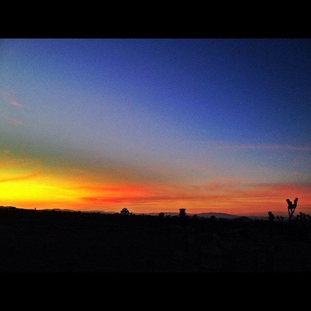
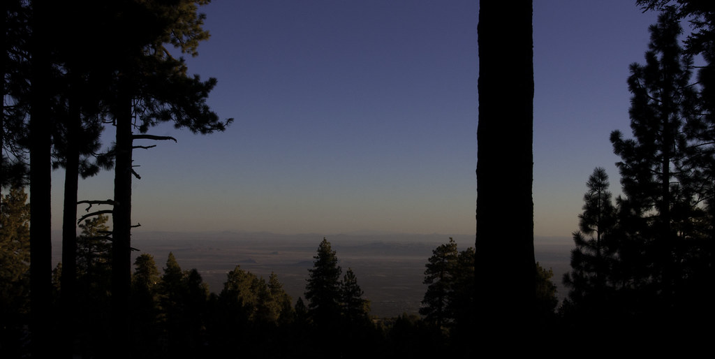
Pearblossom Highway Sunset
Riding The Storm Out
Autumn at Jackson Lake
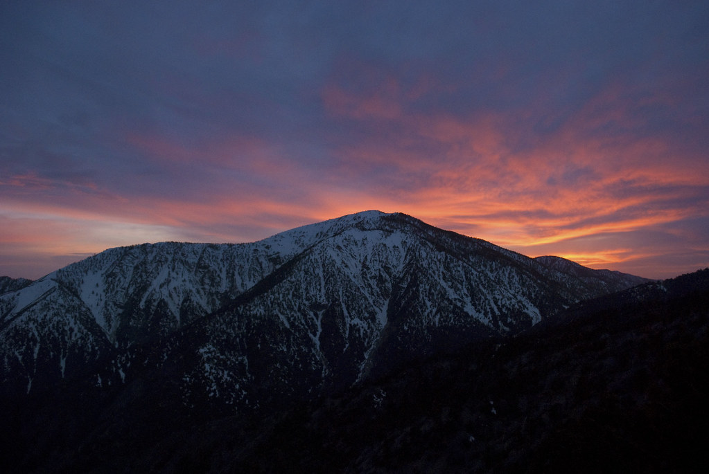
Sunset over the San Gabriel and Pleasant View Ridge Wilderness Areas
Another #sunset in the books.
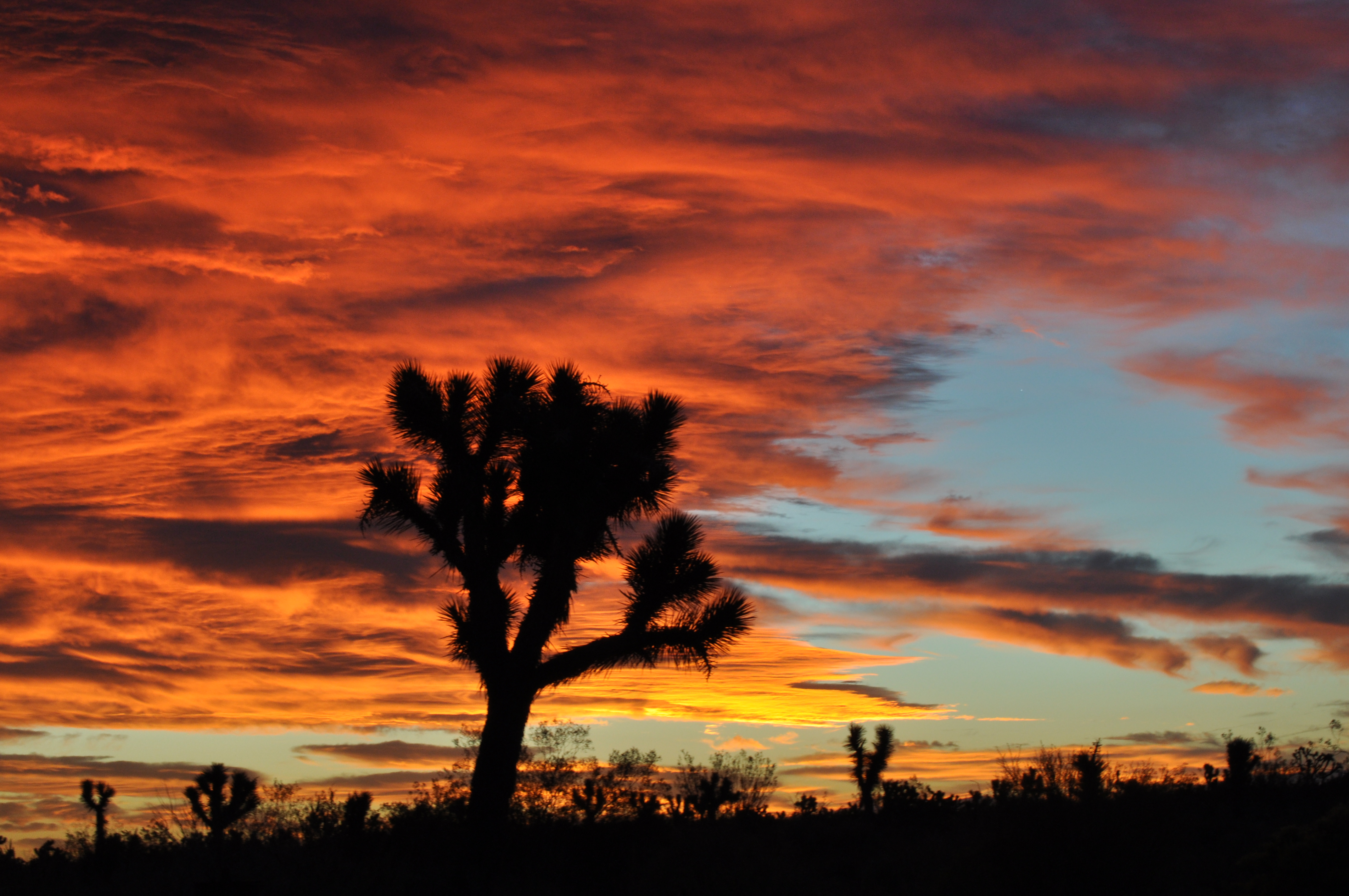
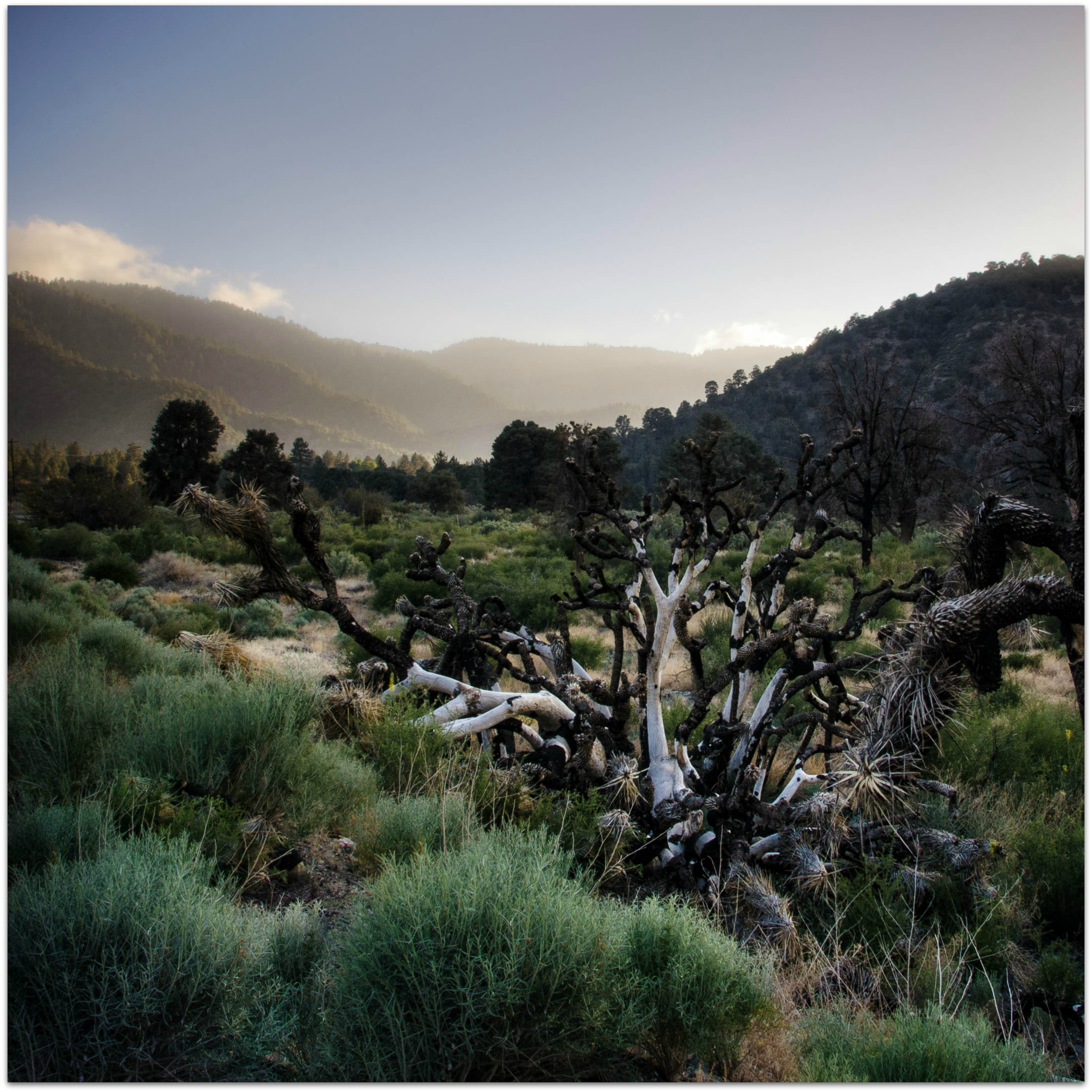
Joshua fire sky
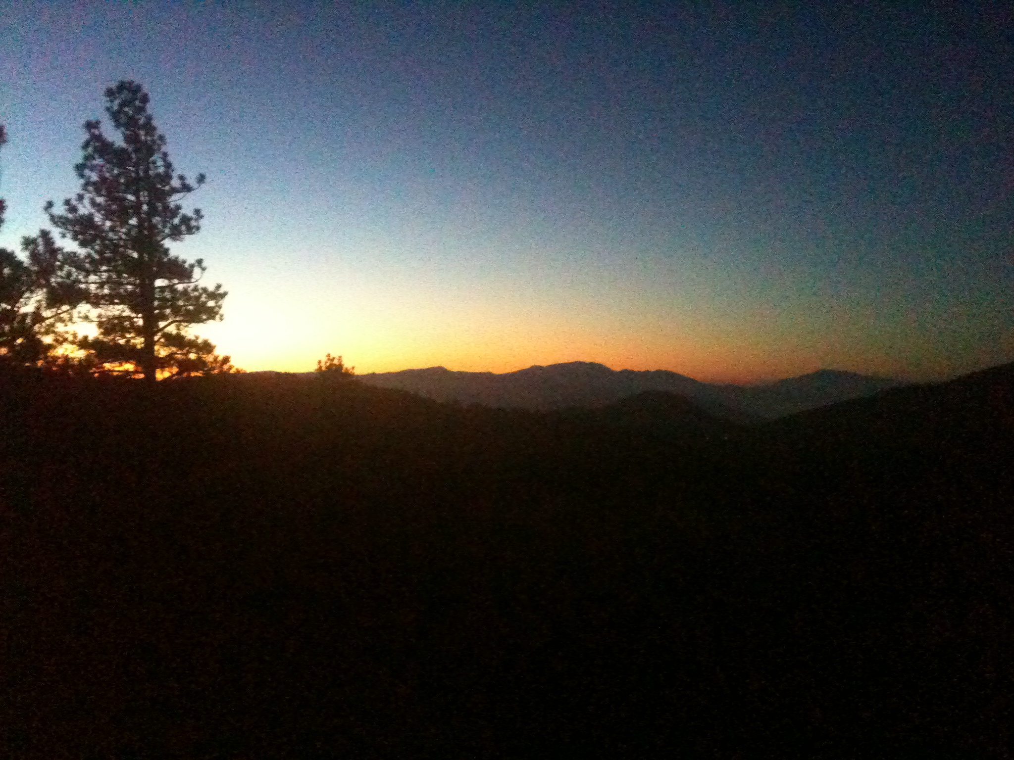
Toward Big Bear

Wrightwood Mountains, California.

Chasing the son w/ @emmvelasquez and I think we won! #sunset #wrightwood #photolife #sunchasers
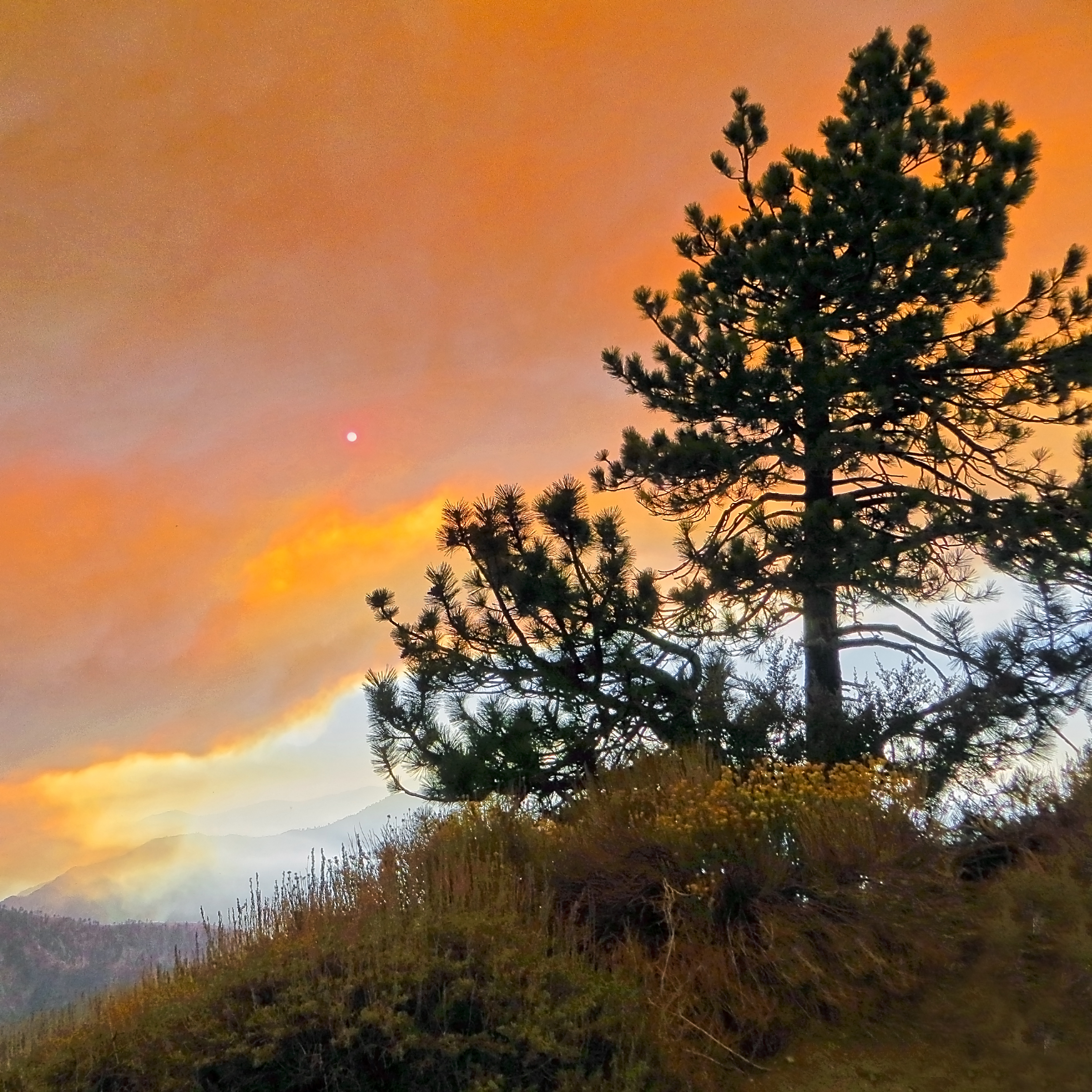
Fire! on the Mountain
Summer Sunset
Dome sunrise
Fire on the Mountain!
Fire on the Mountain!
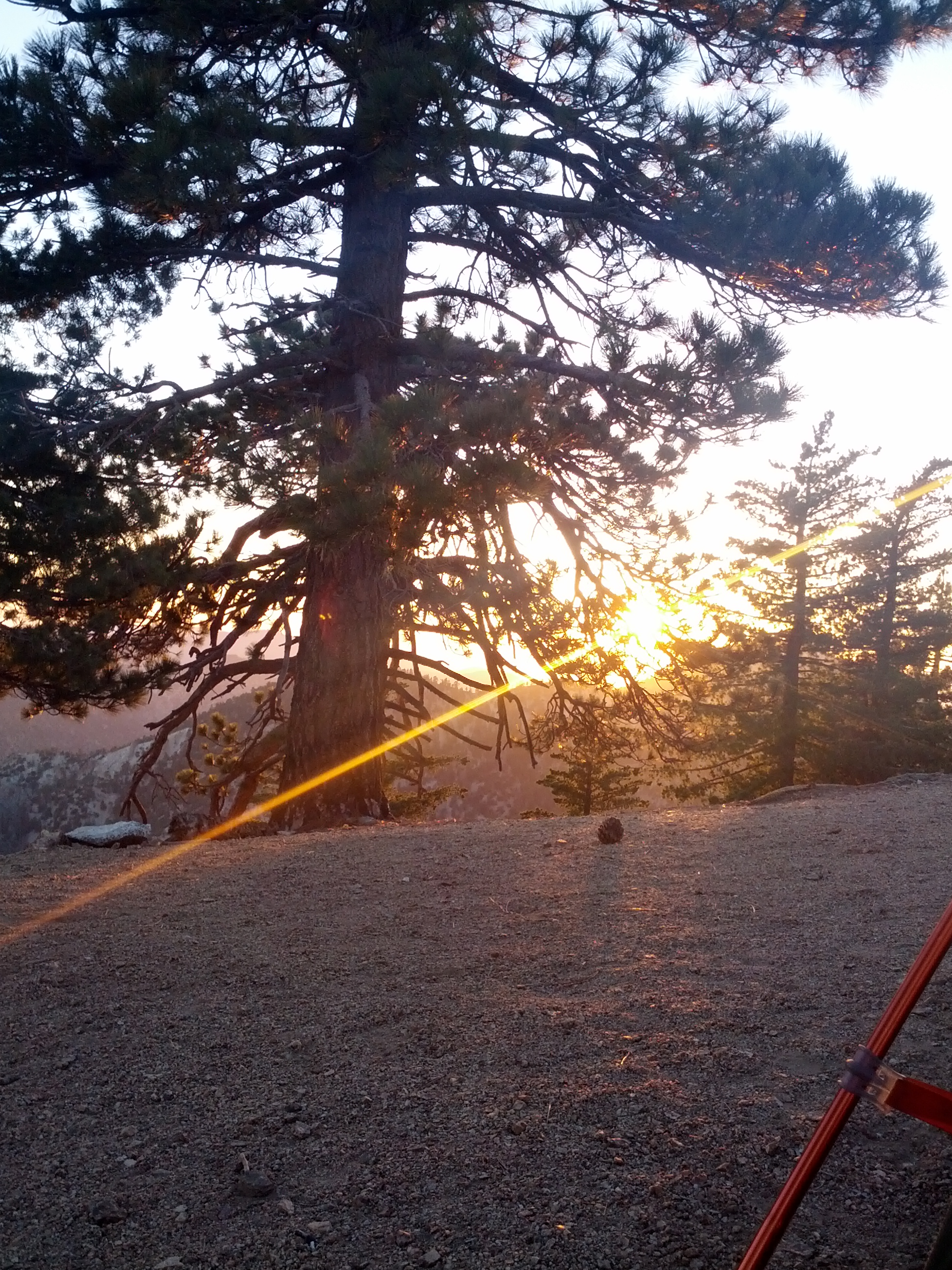
sunset from the campsite
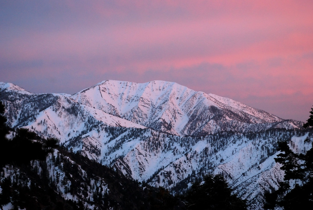
Alpenglow on Mt. San Antonio
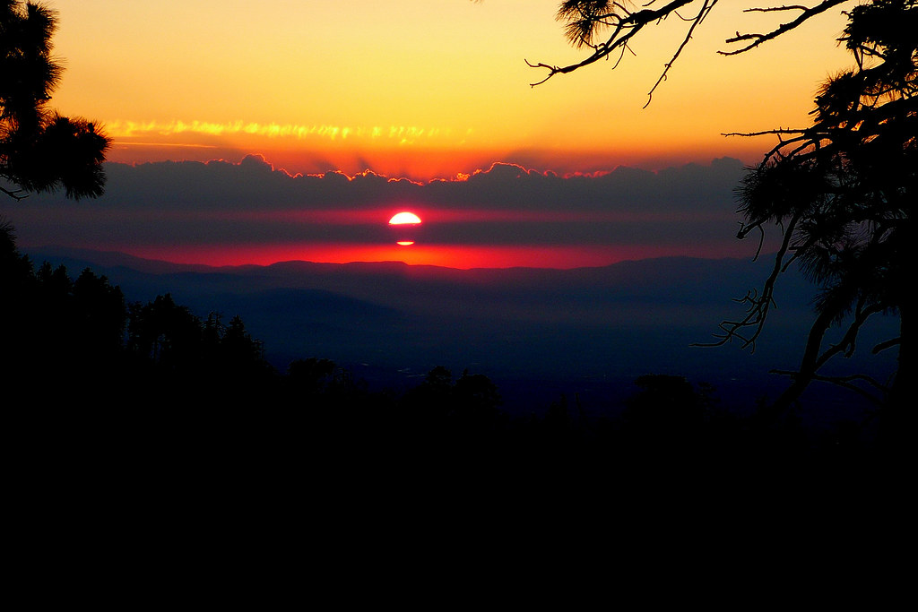
Angeles Sunset

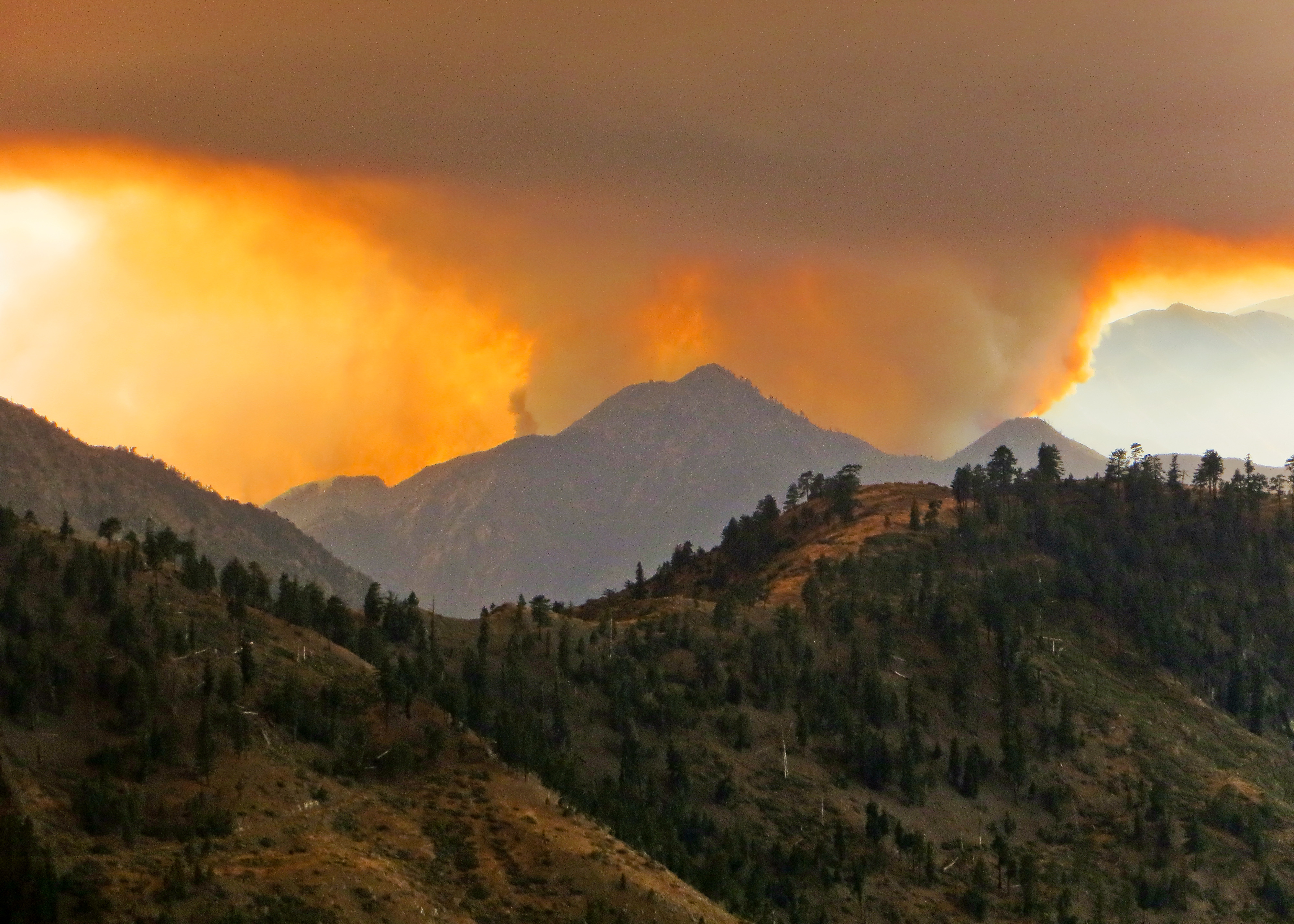
Fire on the Mountain!
Fire on the Mountain!
Orange Clouds Over Mt. Baden-Powell
wrightwood vicinity
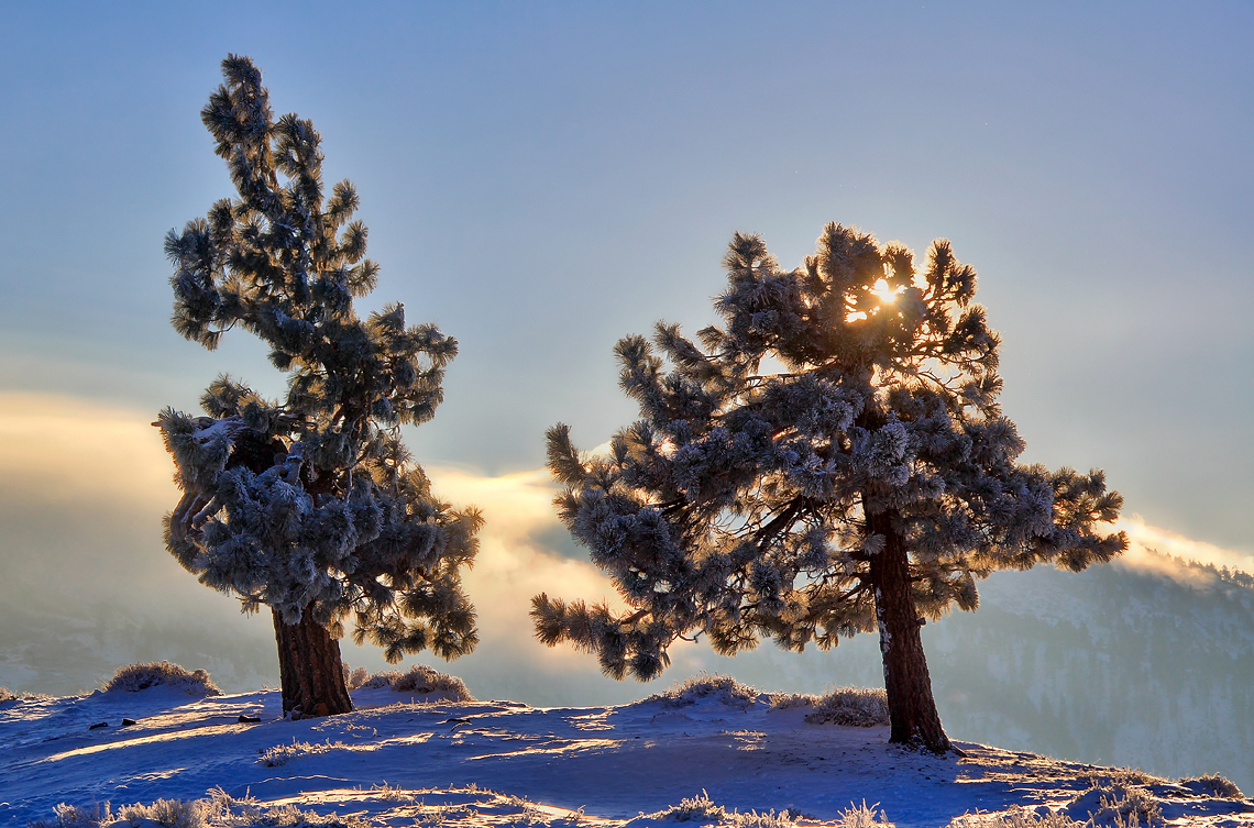
Snowy Sunrise

So Cold!
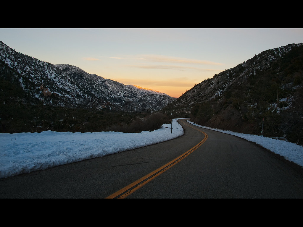
Canyon Light
Desert View
Many a memory...
Mapa de Piñon Hills, California, EE. UU.
Buscar otro lugar
lugares en Piñon Hills, California, EE. UU.
Lugares cercanos
United States Postal Service, Oasis Rd, Pinon Hills, CA, EE. UU.
Juniper Rd, Pinon Hills, CA, EE. UU.
Piñon Hills, California, EE. UU.
Green Rd, Pinon Hills, CA, EE. UU.
Desert View Rd, Pinon Hills, CA, EE. UU.
Trinity Rd, Pinon Hills, CA, EE. UU.
Arrowhead Dr, Pinon Hills, CA, EE. UU.
Snowline Joint Unified School District, CA, EE. UU.
Wrightwood Guest Ranch, 78 Big Pines Hwy, Wrightwood, CA, EE. UU.
Swallow Hill Dr, Llano, CA, EE. UU.
Mountain View Avenue, Mountain View Ave, Wrightwood, CA, EE. UU.
Cardinal Rd, Wrightwood, CA, EE. UU.
Logwood Dr, Llano, CA, EE. UU.
Big Pines, California, EE. UU.
Big Pines Visitor Center Interpretive Site, California, EE. UU.
Trinity Rd, Phelan, CA, EE. UU.
Lark Dr, Wrightwood, CA, EE. UU.
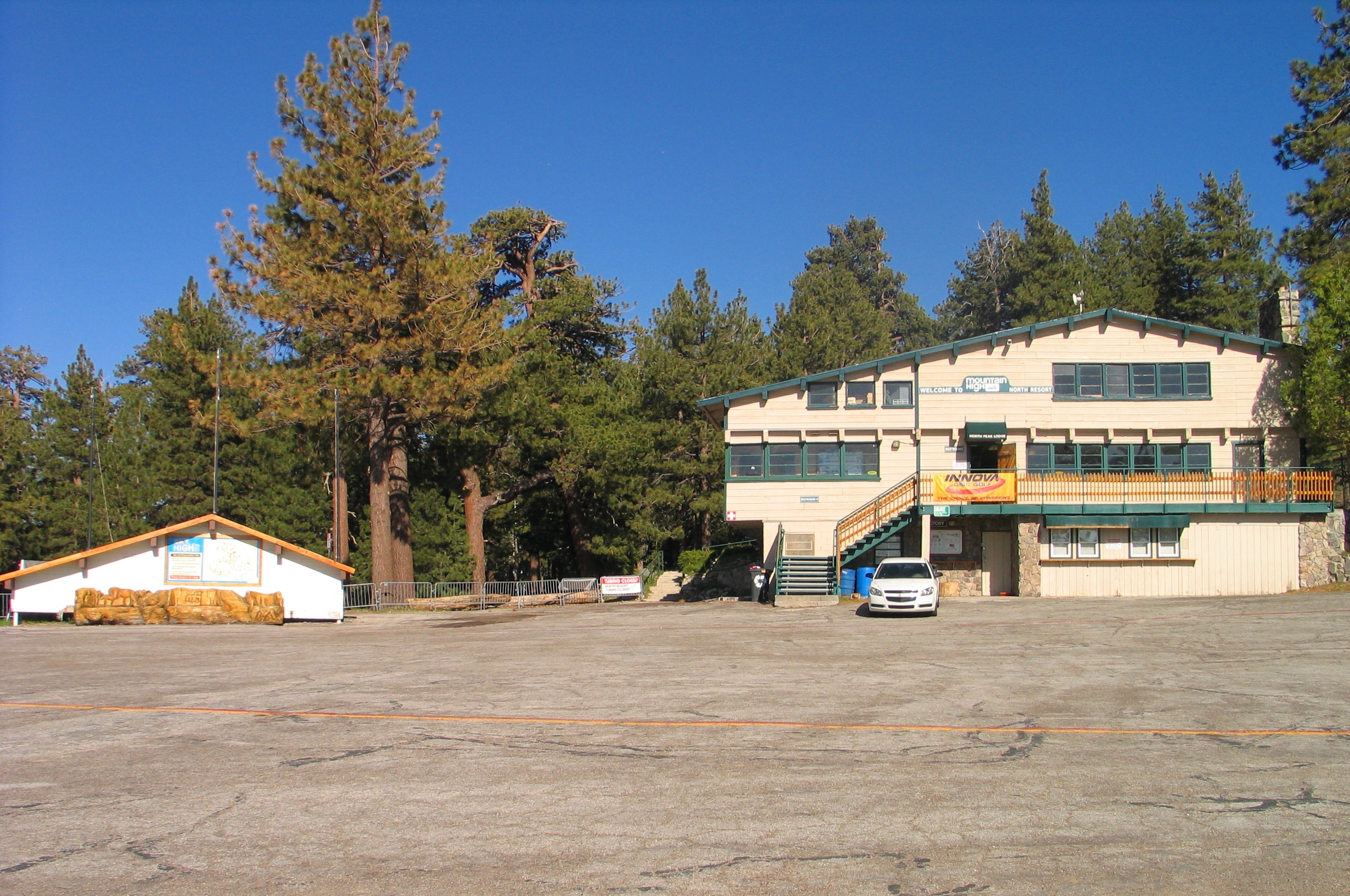
Mountain High Resort, CA-2, Wrightwood, CA, EE. UU.
Mountain High Resort, CA-2, Wrightwood, CA, EE. UU.
Wrightwood, California, EE. UU.
Búsquedas recientes
- Horas de salida y puesta de sol de Red Dog Mine, AK, USA
- Horas de salida y puesta de sol de Am Bahnhof, Am bhf, Borken, Germany
- Horas de salida y puesta de sol de 4th St E, Sonoma, CA, EE. UU.
- Horas de salida y puesta de sol de Oakland Ave, Williamsport, PA, EE. UU.
- Horas de salida y puesta de sol de Via Roma, Pieranica CR, Italia
- Horas de salida y puesta de sol de Torre del reloj, Grad, Dubrovnik (Ragusa), Croacia
- Horas de salida y puesta de sol de Trelew, Chubut, Argentina
- Horas de salida y puesta de sol de Hartfords Bluff Cir, Mt Pleasant, SC, EE. UU.
- Horas de salida y puesta de sol de Kita Ward, Kumamoto, Japón
- Horas de salida y puesta de sol de Pingtan Island, Pingtan County, Fuzhou, China