Horas de salida y puesta de sol de Pine Creek Township, MO, EE. UU.
Location: Estados Unidos > Misuri > Condado de Ozark >
Zona horaria:
America/Chicago
Hora local:
2025-07-04 22:59:04
Longitud:
-92.3320235
Latitud:
36.6837603
Salida de sol de hoy:
05:56:40 AM
Puesta de sol de hoy:
08:31:28 PM
La duración del día hoy:
14h 34m 48s
Salida de sol de mañana:
05:57:13 AM
Puesta de sol de mañana:
08:31:15 PM
La duración del día mañana:
14h 34m 2s
Mostrar todas las fechas
| Fecha | Salida de sol | Puesta de sol | Duración del día |
|---|---|---|---|
| 01/01/2025 | 07:21:51 AM | 05:05:06 PM | 9h 43m 15s |
| 02/01/2025 | 07:21:57 AM | 05:05:55 PM | 9h 43m 58s |
| 03/01/2025 | 07:22:01 AM | 05:06:45 PM | 9h 44m 44s |
| 04/01/2025 | 07:22:03 AM | 05:07:37 PM | 9h 45m 34s |
| 05/01/2025 | 07:22:04 AM | 05:08:29 PM | 9h 46m 25s |
| 06/01/2025 | 07:22:02 AM | 05:09:23 PM | 9h 47m 21s |
| 07/01/2025 | 07:21:58 AM | 05:10:17 PM | 9h 48m 19s |
| 08/01/2025 | 07:21:52 AM | 05:11:13 PM | 9h 49m 21s |
| 09/01/2025 | 07:21:45 AM | 05:12:09 PM | 9h 50m 24s |
| 10/01/2025 | 07:21:35 AM | 05:13:06 PM | 9h 51m 31s |
| 11/01/2025 | 07:21:23 AM | 05:14:04 PM | 9h 52m 41s |
| 12/01/2025 | 07:21:09 AM | 05:15:03 PM | 9h 53m 54s |
| 13/01/2025 | 07:20:54 AM | 05:16:02 PM | 9h 55m 8s |
| 14/01/2025 | 07:20:36 AM | 05:17:02 PM | 9h 56m 26s |
| 15/01/2025 | 07:20:16 AM | 05:18:03 PM | 9h 57m 47s |
| 16/01/2025 | 07:19:54 AM | 05:19:04 PM | 9h 59m 10s |
| 17/01/2025 | 07:19:31 AM | 05:20:06 PM | 10h 0m 35s |
| 18/01/2025 | 07:19:05 AM | 05:21:08 PM | 10h 2m 3s |
| 19/01/2025 | 07:18:38 AM | 05:22:11 PM | 10h 3m 33s |
| 20/01/2025 | 07:18:09 AM | 05:23:14 PM | 10h 5m 5s |
| 21/01/2025 | 07:17:37 AM | 05:24:17 PM | 10h 6m 40s |
| 22/01/2025 | 07:17:04 AM | 05:25:21 PM | 10h 8m 17s |
| 23/01/2025 | 07:16:30 AM | 05:26:25 PM | 10h 9m 55s |
| 24/01/2025 | 07:15:53 AM | 05:27:29 PM | 10h 11m 36s |
| 25/01/2025 | 07:15:15 AM | 05:28:33 PM | 10h 13m 18s |
| 26/01/2025 | 07:14:35 AM | 05:29:37 PM | 10h 15m 2s |
| 27/01/2025 | 07:13:53 AM | 05:30:42 PM | 10h 16m 49s |
| 28/01/2025 | 07:13:09 AM | 05:31:47 PM | 10h 18m 38s |
| 29/01/2025 | 07:12:24 AM | 05:32:51 PM | 10h 20m 27s |
| 30/01/2025 | 07:11:37 AM | 05:33:56 PM | 10h 22m 19s |
| 31/01/2025 | 07:10:49 AM | 05:35:00 PM | 10h 24m 11s |
| 01/02/2025 | 07:09:59 AM | 05:36:05 PM | 10h 26m 6s |
| 02/02/2025 | 07:09:07 AM | 05:37:10 PM | 10h 28m 3s |
| 03/02/2025 | 07:08:14 AM | 05:38:14 PM | 10h 30m 0s |
| 04/02/2025 | 07:07:19 AM | 05:39:18 PM | 10h 31m 59s |
| 05/02/2025 | 07:06:23 AM | 05:40:22 PM | 10h 33m 59s |
| 06/02/2025 | 07:05:26 AM | 05:41:26 PM | 10h 36m 0s |
| 07/02/2025 | 07:04:27 AM | 05:42:30 PM | 10h 38m 3s |
| 08/02/2025 | 07:03:26 AM | 05:43:34 PM | 10h 40m 8s |
| 09/02/2025 | 07:02:25 AM | 05:44:37 PM | 10h 42m 12s |
| 10/02/2025 | 07:01:22 AM | 05:45:40 PM | 10h 44m 18s |
| 11/02/2025 | 07:00:18 AM | 05:46:43 PM | 10h 46m 25s |
| 12/02/2025 | 06:59:12 AM | 05:47:45 PM | 10h 48m 33s |
| 13/02/2025 | 06:58:06 AM | 05:48:48 PM | 10h 50m 42s |
| 14/02/2025 | 06:56:58 AM | 05:49:50 PM | 10h 52m 52s |
| 15/02/2025 | 06:55:49 AM | 05:50:51 PM | 10h 55m 2s |
| 16/02/2025 | 06:54:39 AM | 05:51:53 PM | 10h 57m 14s |
| 17/02/2025 | 06:53:28 AM | 05:52:54 PM | 10h 59m 26s |
| 18/02/2025 | 06:52:16 AM | 05:53:55 PM | 11h 1m 39s |
| 19/02/2025 | 06:51:03 AM | 05:54:55 PM | 11h 3m 52s |
| 20/02/2025 | 06:49:49 AM | 05:55:55 PM | 11h 6m 6s |
| 21/02/2025 | 06:48:34 AM | 05:56:55 PM | 11h 8m 21s |
| 22/02/2025 | 06:47:18 AM | 05:57:55 PM | 11h 10m 37s |
| 23/02/2025 | 06:46:01 AM | 05:58:54 PM | 11h 12m 53s |
| 24/02/2025 | 06:44:43 AM | 05:59:52 PM | 11h 15m 9s |
| 25/02/2025 | 06:43:25 AM | 06:00:51 PM | 11h 17m 26s |
| 26/02/2025 | 06:42:06 AM | 06:01:49 PM | 11h 19m 43s |
| 27/02/2025 | 06:40:46 AM | 06:02:47 PM | 11h 22m 1s |
| 28/02/2025 | 06:39:25 AM | 06:03:45 PM | 11h 24m 20s |
| 01/03/2025 | 06:38:03 AM | 06:04:42 PM | 11h 26m 39s |
| 02/03/2025 | 06:36:41 AM | 06:05:39 PM | 11h 28m 58s |
| 03/03/2025 | 06:35:19 AM | 06:06:35 PM | 11h 31m 16s |
| 04/03/2025 | 06:33:55 AM | 06:07:32 PM | 11h 33m 37s |
| 05/03/2025 | 06:32:32 AM | 06:08:28 PM | 11h 35m 56s |
| 06/03/2025 | 06:31:07 AM | 06:09:23 PM | 11h 38m 16s |
| 07/03/2025 | 06:29:43 AM | 06:10:19 PM | 11h 40m 36s |
| 08/03/2025 | 06:28:17 AM | 06:11:14 PM | 11h 42m 57s |
| 09/03/2025 | 07:26:55 AM | 07:12:07 PM | 11h 45m 12s |
| 10/03/2025 | 07:25:29 AM | 07:13:02 PM | 11h 47m 33s |
| 11/03/2025 | 07:24:03 AM | 07:13:56 PM | 11h 49m 53s |
| 12/03/2025 | 07:22:36 AM | 07:14:50 PM | 11h 52m 14s |
| 13/03/2025 | 07:21:09 AM | 07:15:44 PM | 11h 54m 35s |
| 14/03/2025 | 07:19:41 AM | 07:16:38 PM | 11h 56m 57s |
| 15/03/2025 | 07:18:14 AM | 07:17:32 PM | 11h 59m 18s |
| 16/03/2025 | 07:16:46 AM | 07:18:25 PM | 12h 1m 39s |
| 17/03/2025 | 07:15:18 AM | 07:19:19 PM | 12h 4m 1s |
| 18/03/2025 | 07:13:49 AM | 07:20:12 PM | 12h 6m 23s |
| 19/03/2025 | 07:12:21 AM | 07:21:05 PM | 12h 8m 44s |
| 20/03/2025 | 07:10:53 AM | 07:21:58 PM | 12h 11m 5s |
| 21/03/2025 | 07:09:24 AM | 07:22:50 PM | 12h 13m 26s |
| 22/03/2025 | 07:07:56 AM | 07:23:43 PM | 12h 15m 47s |
| 23/03/2025 | 07:06:27 AM | 07:24:35 PM | 12h 18m 8s |
| 24/03/2025 | 07:04:58 AM | 07:25:28 PM | 12h 20m 30s |
| 25/03/2025 | 07:03:30 AM | 07:26:20 PM | 12h 22m 50s |
| 26/03/2025 | 07:02:02 AM | 07:27:12 PM | 12h 25m 10s |
| 27/03/2025 | 07:00:33 AM | 07:28:04 PM | 12h 27m 31s |
| 28/03/2025 | 06:59:05 AM | 07:28:56 PM | 12h 29m 51s |
| 29/03/2025 | 06:57:37 AM | 07:29:48 PM | 12h 32m 11s |
| 30/03/2025 | 06:56:09 AM | 07:30:40 PM | 12h 34m 31s |
| 31/03/2025 | 06:54:42 AM | 07:31:32 PM | 12h 36m 50s |
| 01/04/2025 | 06:53:14 AM | 07:32:24 PM | 12h 39m 10s |
| 02/04/2025 | 06:51:47 AM | 07:33:16 PM | 12h 41m 29s |
| 03/04/2025 | 06:50:21 AM | 07:34:08 PM | 12h 43m 47s |
| 04/04/2025 | 06:48:54 AM | 07:35:00 PM | 12h 46m 6s |
| 05/04/2025 | 06:47:28 AM | 07:35:52 PM | 12h 48m 24s |
| 06/04/2025 | 06:46:03 AM | 07:36:44 PM | 12h 50m 41s |
| 07/04/2025 | 06:44:37 AM | 07:37:36 PM | 12h 52m 59s |
| 08/04/2025 | 06:43:13 AM | 07:38:28 PM | 12h 55m 15s |
| 09/04/2025 | 06:41:49 AM | 07:39:20 PM | 12h 57m 31s |
| 10/04/2025 | 06:40:25 AM | 07:40:12 PM | 12h 59m 47s |
| 11/04/2025 | 06:39:02 AM | 07:41:04 PM | 13h 2m 2s |
| 12/04/2025 | 06:37:39 AM | 07:41:56 PM | 13h 4m 17s |
| 13/04/2025 | 06:36:17 AM | 07:42:48 PM | 13h 6m 31s |
| 14/04/2025 | 06:34:56 AM | 07:43:41 PM | 13h 8m 45s |
| 15/04/2025 | 06:33:35 AM | 07:44:33 PM | 13h 10m 58s |
| 16/04/2025 | 06:32:15 AM | 07:45:25 PM | 13h 13m 10s |
| 17/04/2025 | 06:30:56 AM | 07:46:18 PM | 13h 15m 22s |
| 18/04/2025 | 06:29:38 AM | 07:47:10 PM | 13h 17m 32s |
| 19/04/2025 | 06:28:20 AM | 07:48:03 PM | 13h 19m 43s |
| 20/04/2025 | 06:27:03 AM | 07:48:55 PM | 13h 21m 52s |
| 21/04/2025 | 06:25:47 AM | 07:49:48 PM | 13h 24m 1s |
| 22/04/2025 | 06:24:32 AM | 07:50:40 PM | 13h 26m 8s |
| 23/04/2025 | 06:23:18 AM | 07:51:33 PM | 13h 28m 15s |
| 24/04/2025 | 06:22:05 AM | 07:52:26 PM | 13h 30m 21s |
| 25/04/2025 | 06:20:52 AM | 07:53:18 PM | 13h 32m 26s |
| 26/04/2025 | 06:19:41 AM | 07:54:11 PM | 13h 34m 30s |
| 27/04/2025 | 06:18:31 AM | 07:55:04 PM | 13h 36m 33s |
| 28/04/2025 | 06:17:22 AM | 07:55:56 PM | 13h 38m 34s |
| 29/04/2025 | 06:16:13 AM | 07:56:49 PM | 13h 40m 36s |
| 30/04/2025 | 06:15:06 AM | 07:57:42 PM | 13h 42m 36s |
| 01/05/2025 | 06:14:00 AM | 07:58:34 PM | 13h 44m 34s |
| 02/05/2025 | 06:12:56 AM | 07:59:27 PM | 13h 46m 31s |
| 03/05/2025 | 06:11:52 AM | 08:00:19 PM | 13h 48m 27s |
| 04/05/2025 | 06:10:50 AM | 08:01:11 PM | 13h 50m 21s |
| 05/05/2025 | 06:09:49 AM | 08:02:03 PM | 13h 52m 14s |
| 06/05/2025 | 06:08:49 AM | 08:02:55 PM | 13h 54m 6s |
| 07/05/2025 | 06:07:50 AM | 08:03:47 PM | 13h 55m 57s |
| 08/05/2025 | 06:06:53 AM | 08:04:39 PM | 13h 57m 46s |
| 09/05/2025 | 06:05:57 AM | 08:05:30 PM | 13h 59m 33s |
| 10/05/2025 | 06:05:03 AM | 08:06:22 PM | 14h 1m 19s |
| 11/05/2025 | 06:04:10 AM | 08:07:12 PM | 14h 3m 2s |
| 12/05/2025 | 06:03:18 AM | 08:08:03 PM | 14h 4m 45s |
| 13/05/2025 | 06:02:28 AM | 08:08:54 PM | 14h 6m 26s |
| 14/05/2025 | 06:01:39 AM | 08:09:44 PM | 14h 8m 5s |
| 15/05/2025 | 06:00:52 AM | 08:10:33 PM | 14h 9m 41s |
| 16/05/2025 | 06:00:06 AM | 08:11:22 PM | 14h 11m 16s |
| 17/05/2025 | 05:59:22 AM | 08:12:11 PM | 14h 12m 49s |
| 18/05/2025 | 05:58:39 AM | 08:13:00 PM | 14h 14m 21s |
| 19/05/2025 | 05:57:58 AM | 08:13:48 PM | 14h 15m 50s |
| 20/05/2025 | 05:57:19 AM | 08:14:35 PM | 14h 17m 16s |
| 21/05/2025 | 05:56:41 AM | 08:15:22 PM | 14h 18m 41s |
| 22/05/2025 | 05:56:05 AM | 08:16:08 PM | 14h 20m 3s |
| 23/05/2025 | 05:55:30 AM | 08:16:53 PM | 14h 21m 23s |
| 24/05/2025 | 05:54:58 AM | 08:17:38 PM | 14h 22m 40s |
| 25/05/2025 | 05:54:26 AM | 08:18:23 PM | 14h 23m 57s |
| 26/05/2025 | 05:53:57 AM | 08:19:06 PM | 14h 25m 9s |
| 27/05/2025 | 05:53:29 AM | 08:19:49 PM | 14h 26m 20s |
| 28/05/2025 | 05:53:03 AM | 08:20:31 PM | 14h 27m 28s |
| 29/05/2025 | 05:52:39 AM | 08:21:12 PM | 14h 28m 33s |
| 30/05/2025 | 05:52:16 AM | 08:21:52 PM | 14h 29m 36s |
| 31/05/2025 | 05:51:55 AM | 08:22:31 PM | 14h 30m 36s |
| 01/06/2025 | 05:51:36 AM | 08:23:09 PM | 14h 31m 33s |
| 02/06/2025 | 05:51:18 AM | 08:23:47 PM | 14h 32m 29s |
| 03/06/2025 | 05:51:03 AM | 08:24:23 PM | 14h 33m 20s |
| 04/06/2025 | 05:50:49 AM | 08:24:58 PM | 14h 34m 9s |
| 05/06/2025 | 05:50:36 AM | 08:25:32 PM | 14h 34m 56s |
| 06/06/2025 | 05:50:26 AM | 08:26:05 PM | 14h 35m 39s |
| 07/06/2025 | 05:50:17 AM | 08:26:37 PM | 14h 36m 20s |
| 08/06/2025 | 05:50:10 AM | 08:27:07 PM | 14h 36m 57s |
| 09/06/2025 | 05:50:05 AM | 08:27:36 PM | 14h 37m 31s |
| 10/06/2025 | 05:50:01 AM | 08:28:04 PM | 14h 38m 3s |
| 11/06/2025 | 05:50:00 AM | 08:28:31 PM | 14h 38m 31s |
| 12/06/2025 | 05:49:59 AM | 08:28:56 PM | 14h 38m 57s |
| 13/06/2025 | 05:50:01 AM | 08:29:20 PM | 14h 39m 19s |
| 14/06/2025 | 05:50:04 AM | 08:29:42 PM | 14h 39m 38s |
| 15/06/2025 | 05:50:09 AM | 08:30:03 PM | 14h 39m 54s |
| 16/06/2025 | 05:50:16 AM | 08:30:23 PM | 14h 40m 7s |
| 17/06/2025 | 05:50:24 AM | 08:30:41 PM | 14h 40m 17s |
| 18/06/2025 | 05:50:33 AM | 08:30:57 PM | 14h 40m 24s |
| 19/06/2025 | 05:50:45 AM | 08:31:12 PM | 14h 40m 27s |
| 20/06/2025 | 05:50:58 AM | 08:31:25 PM | 14h 40m 27s |
| 21/06/2025 | 05:51:12 AM | 08:31:37 PM | 14h 40m 25s |
| 22/06/2025 | 05:51:28 AM | 08:31:47 PM | 14h 40m 19s |
| 23/06/2025 | 05:51:45 AM | 08:31:55 PM | 14h 40m 10s |
| 24/06/2025 | 05:52:04 AM | 08:32:02 PM | 14h 39m 58s |
| 25/06/2025 | 05:52:24 AM | 08:32:07 PM | 14h 39m 43s |
| 26/06/2025 | 05:52:46 AM | 08:32:10 PM | 14h 39m 24s |
| 27/06/2025 | 05:53:09 AM | 08:32:12 PM | 14h 39m 3s |
| 28/06/2025 | 05:53:33 AM | 08:32:12 PM | 14h 38m 39s |
| 29/06/2025 | 05:53:59 AM | 08:32:10 PM | 14h 38m 11s |
| 30/06/2025 | 05:54:26 AM | 08:32:06 PM | 14h 37m 40s |
| 01/07/2025 | 05:54:54 AM | 08:32:01 PM | 14h 37m 7s |
| 02/07/2025 | 05:55:23 AM | 08:31:54 PM | 14h 36m 31s |
| 03/07/2025 | 05:55:54 AM | 08:31:45 PM | 14h 35m 51s |
| 04/07/2025 | 05:56:25 AM | 08:31:34 PM | 14h 35m 9s |
| 05/07/2025 | 05:56:58 AM | 08:31:21 PM | 14h 34m 23s |
| 06/07/2025 | 05:57:32 AM | 08:31:07 PM | 14h 33m 35s |
| 07/07/2025 | 05:58:06 AM | 08:30:51 PM | 14h 32m 45s |
| 08/07/2025 | 05:58:42 AM | 08:30:33 PM | 14h 31m 51s |
| 09/07/2025 | 05:59:19 AM | 08:30:13 PM | 14h 30m 54s |
| 10/07/2025 | 05:59:56 AM | 08:29:52 PM | 14h 29m 56s |
| 11/07/2025 | 06:00:35 AM | 08:29:29 PM | 14h 28m 54s |
| 12/07/2025 | 06:01:14 AM | 08:29:04 PM | 14h 27m 50s |
| 13/07/2025 | 06:01:54 AM | 08:28:37 PM | 14h 26m 43s |
| 14/07/2025 | 06:02:35 AM | 08:28:08 PM | 14h 25m 33s |
| 15/07/2025 | 06:03:16 AM | 08:27:38 PM | 14h 24m 22s |
| 16/07/2025 | 06:03:58 AM | 08:27:06 PM | 14h 23m 8s |
| 17/07/2025 | 06:04:41 AM | 08:26:33 PM | 14h 21m 52s |
| 18/07/2025 | 06:05:24 AM | 08:25:57 PM | 14h 20m 33s |
| 19/07/2025 | 06:06:08 AM | 08:25:20 PM | 14h 19m 12s |
| 20/07/2025 | 06:06:53 AM | 08:24:42 PM | 14h 17m 49s |
| 21/07/2025 | 06:07:38 AM | 08:24:01 PM | 14h 16m 23s |
| 22/07/2025 | 06:08:23 AM | 08:23:19 PM | 14h 14m 56s |
| 23/07/2025 | 06:09:09 AM | 08:22:36 PM | 14h 13m 27s |
| 24/07/2025 | 06:09:55 AM | 08:21:51 PM | 14h 11m 56s |
| 25/07/2025 | 06:10:42 AM | 08:21:04 PM | 14h 10m 22s |
| 26/07/2025 | 06:11:29 AM | 08:20:16 PM | 14h 8m 47s |
| 27/07/2025 | 06:12:16 AM | 08:19:26 PM | 14h 7m 10s |
| 28/07/2025 | 06:13:04 AM | 08:18:35 PM | 14h 5m 31s |
| 29/07/2025 | 06:13:52 AM | 08:17:42 PM | 14h 3m 50s |
| 30/07/2025 | 06:14:40 AM | 08:16:48 PM | 14h 2m 8s |
| 31/07/2025 | 06:15:28 AM | 08:15:52 PM | 14h 0m 24s |
| 01/08/2025 | 06:16:16 AM | 08:14:55 PM | 13h 58m 39s |
| 02/08/2025 | 06:17:05 AM | 08:13:57 PM | 13h 56m 52s |
| 03/08/2025 | 06:17:54 AM | 08:12:57 PM | 13h 55m 3s |
| 04/08/2025 | 06:18:43 AM | 08:11:56 PM | 13h 53m 13s |
| 05/08/2025 | 06:19:32 AM | 08:10:54 PM | 13h 51m 22s |
| 06/08/2025 | 06:20:21 AM | 08:09:50 PM | 13h 49m 29s |
| 07/08/2025 | 06:21:10 AM | 08:08:45 PM | 13h 47m 35s |
| 08/08/2025 | 06:21:59 AM | 08:07:39 PM | 13h 45m 40s |
| 09/08/2025 | 06:22:48 AM | 08:06:32 PM | 13h 43m 44s |
| 10/08/2025 | 06:23:37 AM | 08:05:24 PM | 13h 41m 47s |
| 11/08/2025 | 06:24:26 AM | 08:04:14 PM | 13h 39m 48s |
| 12/08/2025 | 06:25:16 AM | 08:03:04 PM | 13h 37m 48s |
| 13/08/2025 | 06:26:05 AM | 08:01:52 PM | 13h 35m 47s |
| 14/08/2025 | 06:26:54 AM | 08:00:39 PM | 13h 33m 45s |
| 15/08/2025 | 06:27:43 AM | 07:59:26 PM | 13h 31m 43s |
| 16/08/2025 | 06:28:32 AM | 07:58:11 PM | 13h 29m 39s |
| 17/08/2025 | 06:29:21 AM | 07:56:55 PM | 13h 27m 34s |
| 18/08/2025 | 06:30:10 AM | 07:55:39 PM | 13h 25m 29s |
| 19/08/2025 | 06:30:59 AM | 07:54:21 PM | 13h 23m 22s |
| 20/08/2025 | 06:31:48 AM | 07:53:03 PM | 13h 21m 15s |
| 21/08/2025 | 06:32:36 AM | 07:51:44 PM | 13h 19m 8s |
| 22/08/2025 | 06:33:25 AM | 07:50:24 PM | 13h 16m 59s |
| 23/08/2025 | 06:34:13 AM | 07:49:03 PM | 13h 14m 50s |
| 24/08/2025 | 06:35:02 AM | 07:47:41 PM | 13h 12m 39s |
| 25/08/2025 | 06:35:50 AM | 07:46:19 PM | 13h 10m 29s |
| 26/08/2025 | 06:36:39 AM | 07:44:56 PM | 13h 8m 17s |
| 27/08/2025 | 06:37:27 AM | 07:43:32 PM | 13h 6m 5s |
| 28/08/2025 | 06:38:15 AM | 07:42:08 PM | 13h 3m 53s |
| 29/08/2025 | 06:39:03 AM | 07:40:43 PM | 13h 1m 40s |
| 30/08/2025 | 06:39:51 AM | 07:39:18 PM | 12h 59m 27s |
| 31/08/2025 | 06:40:39 AM | 07:37:52 PM | 12h 57m 13s |
| 01/09/2025 | 06:41:27 AM | 07:36:26 PM | 12h 54m 59s |
| 02/09/2025 | 06:42:15 AM | 07:34:59 PM | 12h 52m 44s |
| 03/09/2025 | 06:43:02 AM | 07:33:31 PM | 12h 50m 29s |
| 04/09/2025 | 06:43:50 AM | 07:32:03 PM | 12h 48m 13s |
| 05/09/2025 | 06:44:38 AM | 07:30:35 PM | 12h 45m 57s |
| 06/09/2025 | 06:45:25 AM | 07:29:06 PM | 12h 43m 41s |
| 07/09/2025 | 06:46:13 AM | 07:27:38 PM | 12h 41m 25s |
| 08/09/2025 | 06:47:00 AM | 07:26:08 PM | 12h 39m 8s |
| 09/09/2025 | 06:47:48 AM | 07:24:39 PM | 12h 36m 51s |
| 10/09/2025 | 06:48:36 AM | 07:23:09 PM | 12h 34m 33s |
| 11/09/2025 | 06:49:23 AM | 07:21:39 PM | 12h 32m 16s |
| 12/09/2025 | 06:50:11 AM | 07:20:09 PM | 12h 29m 58s |
| 13/09/2025 | 06:50:59 AM | 07:18:38 PM | 12h 27m 39s |
| 14/09/2025 | 06:51:46 AM | 07:17:08 PM | 12h 25m 22s |
| 15/09/2025 | 06:52:34 AM | 07:15:37 PM | 12h 23m 3s |
| 16/09/2025 | 06:53:22 AM | 07:14:06 PM | 12h 20m 44s |
| 17/09/2025 | 06:54:10 AM | 07:12:35 PM | 12h 18m 25s |
| 18/09/2025 | 06:54:58 AM | 07:11:05 PM | 12h 16m 7s |
| 19/09/2025 | 06:55:46 AM | 07:09:34 PM | 12h 13m 48s |
| 20/09/2025 | 06:56:34 AM | 07:08:03 PM | 12h 11m 29s |
| 21/09/2025 | 06:57:23 AM | 07:06:32 PM | 12h 9m 9s |
| 22/09/2025 | 06:58:11 AM | 07:05:02 PM | 12h 6m 51s |
| 23/09/2025 | 06:59:00 AM | 07:03:31 PM | 12h 4m 31s |
| 24/09/2025 | 06:59:49 AM | 07:02:01 PM | 12h 2m 12s |
| 25/09/2025 | 07:00:38 AM | 07:00:30 PM | 11h 59m 52s |
| 26/09/2025 | 07:01:27 AM | 06:59:00 PM | 11h 57m 33s |
| 27/09/2025 | 07:02:16 AM | 06:57:31 PM | 11h 55m 15s |
| 28/09/2025 | 07:03:06 AM | 06:56:01 PM | 11h 52m 55s |
| 29/09/2025 | 07:03:55 AM | 06:54:32 PM | 11h 50m 37s |
| 30/09/2025 | 07:04:45 AM | 06:53:03 PM | 11h 48m 18s |
| 01/10/2025 | 07:05:36 AM | 06:51:35 PM | 11h 45m 59s |
| 02/10/2025 | 07:06:26 AM | 06:50:07 PM | 11h 43m 41s |
| 03/10/2025 | 07:07:17 AM | 06:48:39 PM | 11h 41m 22s |
| 04/10/2025 | 07:08:08 AM | 06:47:12 PM | 11h 39m 4s |
| 05/10/2025 | 07:08:59 AM | 06:45:45 PM | 11h 36m 46s |
| 06/10/2025 | 07:09:51 AM | 06:44:19 PM | 11h 34m 28s |
| 07/10/2025 | 07:10:43 AM | 06:42:53 PM | 11h 32m 10s |
| 08/10/2025 | 07:11:35 AM | 06:41:28 PM | 11h 29m 53s |
| 09/10/2025 | 07:12:27 AM | 06:40:03 PM | 11h 27m 36s |
| 10/10/2025 | 07:13:20 AM | 06:38:39 PM | 11h 25m 19s |
| 11/10/2025 | 07:14:13 AM | 06:37:16 PM | 11h 23m 3s |
| 12/10/2025 | 07:15:07 AM | 06:35:53 PM | 11h 20m 46s |
| 13/10/2025 | 07:16:01 AM | 06:34:32 PM | 11h 18m 31s |
| 14/10/2025 | 07:16:55 AM | 06:33:10 PM | 11h 16m 15s |
| 15/10/2025 | 07:17:49 AM | 06:31:50 PM | 11h 14m 1s |
| 16/10/2025 | 07:18:44 AM | 06:30:31 PM | 11h 11m 47s |
| 17/10/2025 | 07:19:39 AM | 06:29:12 PM | 11h 9m 33s |
| 18/10/2025 | 07:20:35 AM | 06:27:54 PM | 11h 7m 19s |
| 19/10/2025 | 07:21:31 AM | 06:26:38 PM | 11h 5m 7s |
| 20/10/2025 | 07:22:27 AM | 06:25:22 PM | 11h 2m 55s |
| 21/10/2025 | 07:23:24 AM | 06:24:07 PM | 11h 0m 43s |
| 22/10/2025 | 07:24:21 AM | 06:22:53 PM | 10h 58m 32s |
| 23/10/2025 | 07:25:18 AM | 06:21:40 PM | 10h 56m 22s |
| 24/10/2025 | 07:26:16 AM | 06:20:28 PM | 10h 54m 12s |
| 25/10/2025 | 07:27:14 AM | 06:19:18 PM | 10h 52m 4s |
| 26/10/2025 | 07:28:12 AM | 06:18:08 PM | 10h 49m 56s |
| 27/10/2025 | 07:29:11 AM | 06:17:00 PM | 10h 47m 49s |
| 28/10/2025 | 07:30:10 AM | 06:15:53 PM | 10h 45m 43s |
| 29/10/2025 | 07:31:09 AM | 06:14:47 PM | 10h 43m 38s |
| 30/10/2025 | 07:32:09 AM | 06:13:42 PM | 10h 41m 33s |
| 31/10/2025 | 07:33:08 AM | 06:12:39 PM | 10h 39m 31s |
| 01/11/2025 | 07:34:08 AM | 06:11:37 PM | 10h 37m 29s |
| 02/11/2025 | 06:35:11 AM | 05:10:34 PM | 10h 35m 23s |
| 03/11/2025 | 06:36:12 AM | 05:09:35 PM | 10h 33m 23s |
| 04/11/2025 | 06:37:13 AM | 05:08:37 PM | 10h 31m 24s |
| 05/11/2025 | 06:38:14 AM | 05:07:41 PM | 10h 29m 27s |
| 06/11/2025 | 06:39:15 AM | 05:06:46 PM | 10h 27m 31s |
| 07/11/2025 | 06:40:16 AM | 05:05:53 PM | 10h 25m 37s |
| 08/11/2025 | 06:41:18 AM | 05:05:02 PM | 10h 23m 44s |
| 09/11/2025 | 06:42:19 AM | 05:04:12 PM | 10h 21m 53s |
| 10/11/2025 | 06:43:21 AM | 05:03:23 PM | 10h 20m 2s |
| 11/11/2025 | 06:44:23 AM | 05:02:37 PM | 10h 18m 14s |
| 12/11/2025 | 06:45:24 AM | 05:01:51 PM | 10h 16m 27s |
| 13/11/2025 | 06:46:26 AM | 05:01:08 PM | 10h 14m 42s |
| 14/11/2025 | 06:47:28 AM | 05:00:27 PM | 10h 12m 59s |
| 15/11/2025 | 06:48:29 AM | 04:59:47 PM | 10h 11m 18s |
| 16/11/2025 | 06:49:31 AM | 04:59:09 PM | 10h 9m 38s |
| 17/11/2025 | 06:50:32 AM | 04:58:32 PM | 10h 8m 0s |
| 18/11/2025 | 06:51:33 AM | 04:57:58 PM | 10h 6m 25s |
| 19/11/2025 | 06:52:34 AM | 04:57:25 PM | 10h 4m 51s |
| 20/11/2025 | 06:53:34 AM | 04:56:55 PM | 10h 3m 21s |
| 21/11/2025 | 06:54:35 AM | 04:56:26 PM | 10h 1m 51s |
| 22/11/2025 | 06:55:35 AM | 04:55:59 PM | 10h 0m 24s |
| 23/11/2025 | 06:56:34 AM | 04:55:34 PM | 9h 59m 0s |
| 24/11/2025 | 06:57:33 AM | 04:55:11 PM | 9h 57m 38s |
| 25/11/2025 | 06:58:32 AM | 04:54:50 PM | 9h 56m 18s |
| 26/11/2025 | 06:59:30 AM | 04:54:31 PM | 9h 55m 1s |
| 27/11/2025 | 07:00:28 AM | 04:54:15 PM | 9h 53m 47s |
| 28/11/2025 | 07:01:25 AM | 04:54:00 PM | 9h 52m 35s |
| 29/11/2025 | 07:02:21 AM | 04:53:47 PM | 9h 51m 26s |
| 30/11/2025 | 07:03:16 AM | 04:53:36 PM | 9h 50m 20s |
| 01/12/2025 | 07:04:11 AM | 04:53:27 PM | 9h 49m 16s |
| 02/12/2025 | 07:05:05 AM | 04:53:20 PM | 9h 48m 15s |
| 03/12/2025 | 07:05:58 AM | 04:53:15 PM | 9h 47m 17s |
| 04/12/2025 | 07:06:50 AM | 04:53:13 PM | 9h 46m 23s |
| 05/12/2025 | 07:07:41 AM | 04:53:12 PM | 9h 45m 31s |
| 06/12/2025 | 07:08:31 AM | 04:53:14 PM | 9h 44m 43s |
| 07/12/2025 | 07:09:20 AM | 04:53:17 PM | 9h 43m 57s |
| 08/12/2025 | 07:10:08 AM | 04:53:23 PM | 9h 43m 15s |
| 09/12/2025 | 07:10:55 AM | 04:53:30 PM | 9h 42m 35s |
| 10/12/2025 | 07:11:41 AM | 04:53:40 PM | 9h 41m 59s |
| 11/12/2025 | 07:12:25 AM | 04:53:51 PM | 9h 41m 26s |
| 12/12/2025 | 07:13:08 AM | 04:54:05 PM | 9h 40m 57s |
| 13/12/2025 | 07:13:49 AM | 04:54:20 PM | 9h 40m 31s |
| 14/12/2025 | 07:14:30 AM | 04:54:38 PM | 9h 40m 8s |
| 15/12/2025 | 07:15:08 AM | 04:54:57 PM | 9h 39m 49s |
| 16/12/2025 | 07:15:46 AM | 04:55:19 PM | 9h 39m 33s |
| 17/12/2025 | 07:16:21 AM | 04:55:42 PM | 9h 39m 21s |
| 18/12/2025 | 07:16:55 AM | 04:56:07 PM | 9h 39m 12s |
| 19/12/2025 | 07:17:28 AM | 04:56:34 PM | 9h 39m 6s |
| 20/12/2025 | 07:17:59 AM | 04:57:03 PM | 9h 39m 4s |
| 21/12/2025 | 07:18:28 AM | 04:57:33 PM | 9h 39m 5s |
| 22/12/2025 | 07:18:55 AM | 04:58:05 PM | 9h 39m 10s |
| 23/12/2025 | 07:19:21 AM | 04:58:39 PM | 9h 39m 18s |
| 24/12/2025 | 07:19:45 AM | 04:59:15 PM | 9h 39m 30s |
| 25/12/2025 | 07:20:07 AM | 04:59:52 PM | 9h 39m 45s |
| 26/12/2025 | 07:20:27 AM | 05:00:31 PM | 9h 40m 4s |
| 27/12/2025 | 07:20:46 AM | 05:01:11 PM | 9h 40m 25s |
| 28/12/2025 | 07:21:02 AM | 05:01:53 PM | 9h 40m 51s |
| 29/12/2025 | 07:21:17 AM | 05:02:36 PM | 9h 41m 19s |
| 30/12/2025 | 07:21:29 AM | 05:03:21 PM | 9h 41m 52s |
| 31/12/2025 | 07:21:40 AM | 05:04:07 PM | 9h 42m 27s |
Fotos

White River
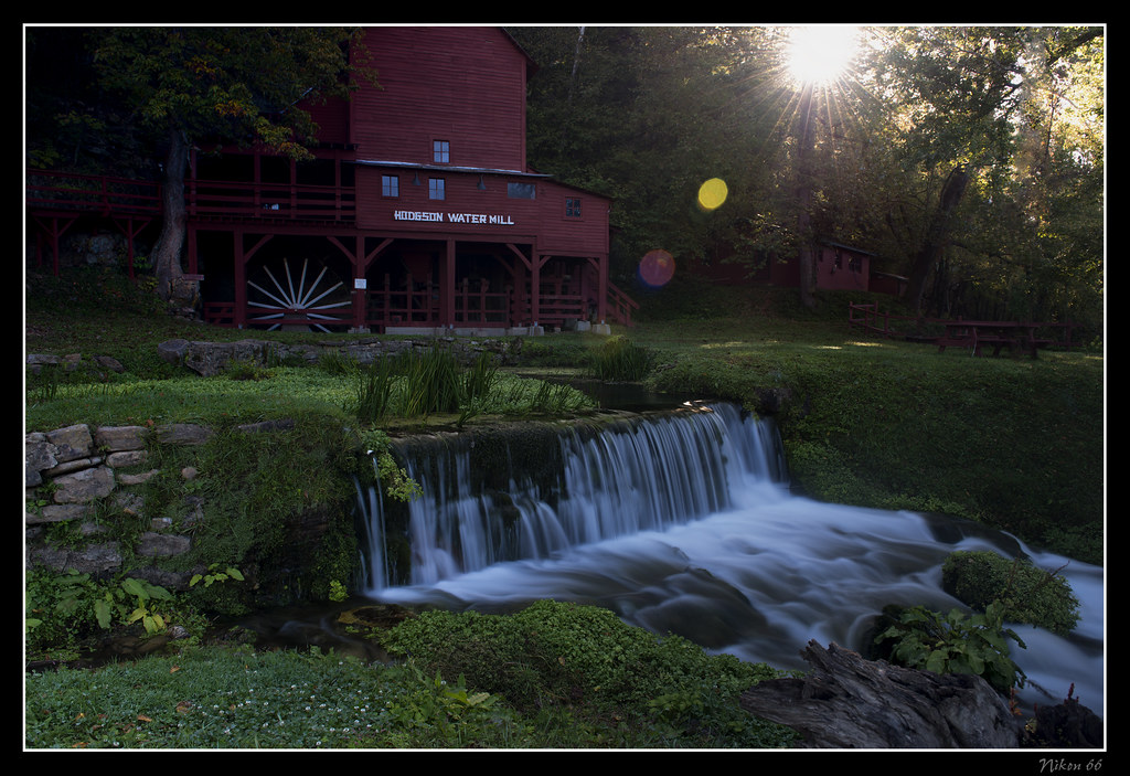
Hodgson Water Mill - Sunburst through the Trees

Camping by the North Fork River - Devils Backbone Wilderness
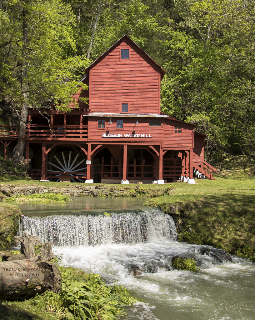
Hodgson Water Mill
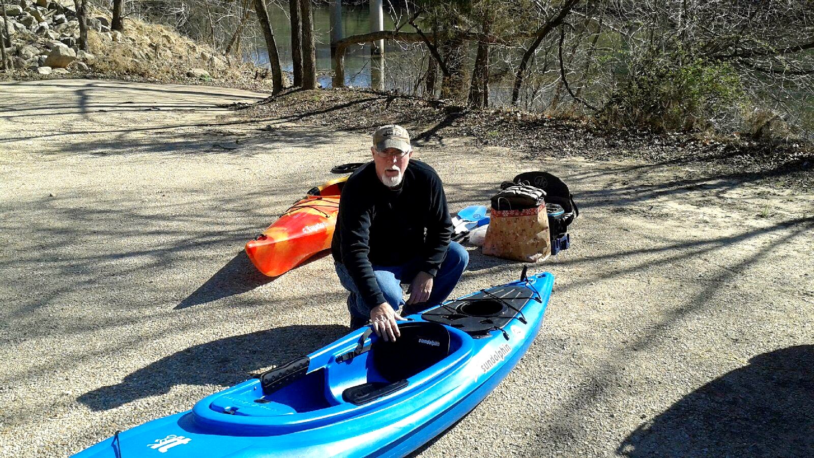
At the landing (finally)

What the heck izzit?
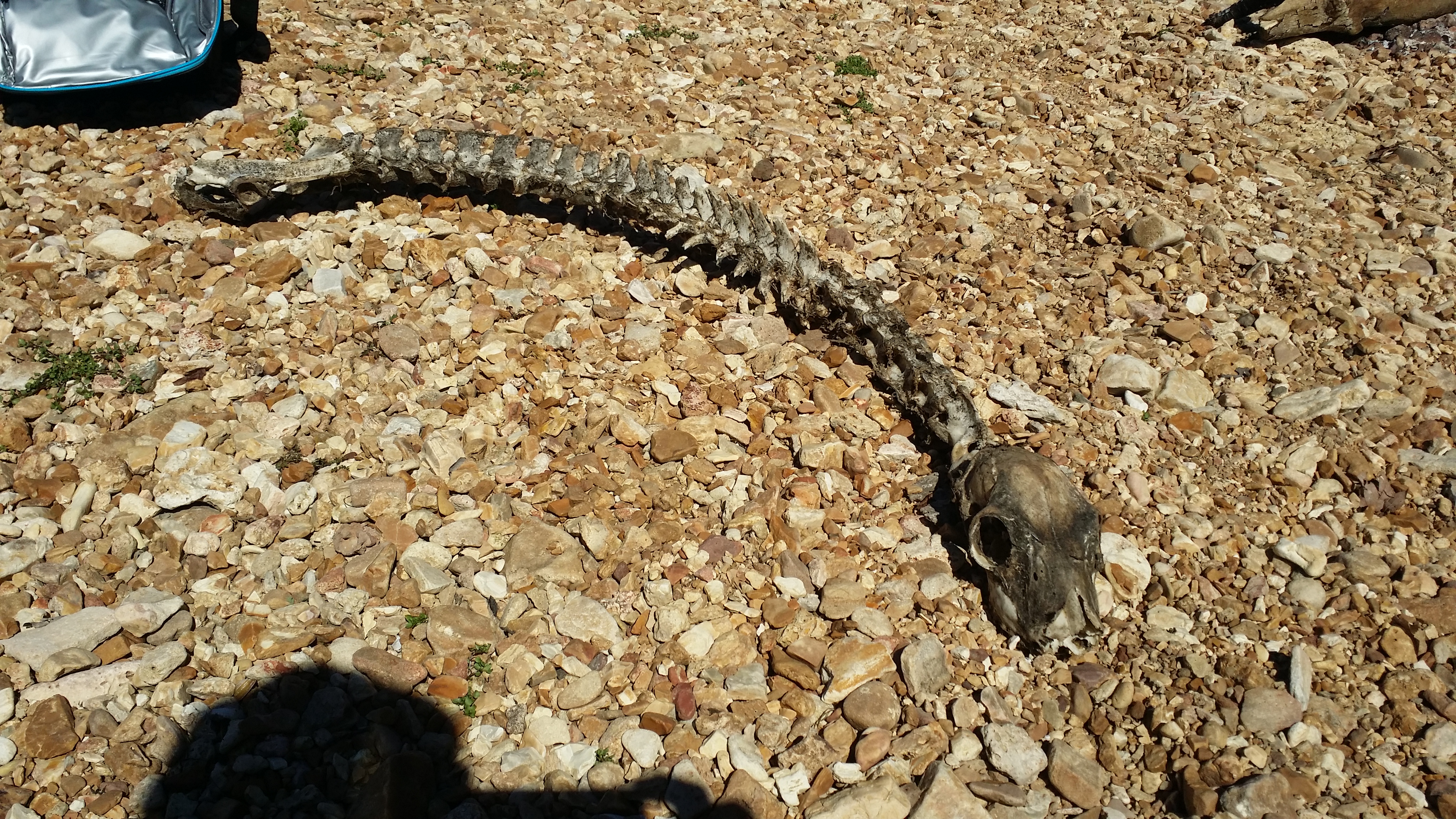
What the heck izzit?

Hodgson Water Mill
Alley Spring Mill
Rockbridge Mill
Mapa de Pine Creek Township, MO, EE. UU.
Buscar otro lugar
lugares en Pine Creek Township, MO, EE. UU.
Lugares cercanos
45 Trigger Ln, Tecumseh, MO, EE. UU.
Condado de Ozark, Misuri, EE. UU.
County Road, Co Rd, Tecumseh, MO, EE. UU.
State Hwy H, Caulfield, MO, EE. UU.
Hardenville, MO, EE. UU.
Municipio de Dawt, Misuri, EE. UU.
Richland Township, MO, EE. UU.
Tecumseh, MO, EE. UU.
Hansen Ln, Gainesville, MO, EE. UU.
Gainesville, Misuri, EE. UU.
Co Rd, Caulfield, MO, EE. UU.
Bridges Township, MO, EE. UU.
Municipio de Jackson, Misuri, EE. UU.
Dora, MO, EE. UU.
Co Rd, Caulfield, MO, EE. UU.
Stone Mountain Dr, Wasola, MO, EE. UU.
Municipio de Bayou II, Misuri, EE. UU.
Municipio de Champion, Misuri, EE. UU.
Municipio de Nottinghill, Misuri, EE. UU.
Caulfield, MO, EE. UU.
Búsquedas recientes
- Horas de salida y puesta de sol de Red Dog Mine, AK, USA
- Horas de salida y puesta de sol de Am Bahnhof, Am bhf, Borken, Germany
- Horas de salida y puesta de sol de 4th St E, Sonoma, CA, EE. UU.
- Horas de salida y puesta de sol de Oakland Ave, Williamsport, PA, EE. UU.
- Horas de salida y puesta de sol de Via Roma, Pieranica CR, Italia
- Horas de salida y puesta de sol de Torre del reloj, Grad, Dubrovnik (Ragusa), Croacia
- Horas de salida y puesta de sol de Trelew, Chubut, Argentina
- Horas de salida y puesta de sol de Hartfords Bluff Cir, Mt Pleasant, SC, EE. UU.
- Horas de salida y puesta de sol de Kita Ward, Kumamoto, Japón
- Horas de salida y puesta de sol de Pingtan Island, Pingtan County, Fuzhou, China