Horas de salida y puesta de sol de Phillips Rd, Oak Run, CA, EE. UU.
Location: Estados Unidos > California > Condado de Shasta > Oak Run >
Zona horaria:
America/Los_Angeles
Hora local:
2025-07-09 17:46:05
Longitud:
-121.958201
Latitud:
40.752741
Salida de sol de hoy:
05:46:17 AM
Puesta de sol de hoy:
08:40:24 PM
La duración del día hoy:
14h 54m 7s
Salida de sol de mañana:
05:47:00 AM
Puesta de sol de mañana:
08:39:57 PM
La duración del día mañana:
14h 52m 57s
Mostrar todas las fechas
| Fecha | Salida de sol | Puesta de sol | Duración del día |
|---|---|---|---|
| 01/01/2025 | 07:31:59 AM | 04:52:08 PM | 9h 20m 9s |
| 02/01/2025 | 07:32:01 AM | 04:53:01 PM | 9h 21m 0s |
| 03/01/2025 | 07:32:01 AM | 04:53:56 PM | 9h 21m 55s |
| 04/01/2025 | 07:31:58 AM | 04:54:51 PM | 9h 22m 53s |
| 05/01/2025 | 07:31:53 AM | 04:55:49 PM | 9h 23m 56s |
| 06/01/2025 | 07:31:46 AM | 04:56:47 PM | 9h 25m 1s |
| 07/01/2025 | 07:31:37 AM | 04:57:47 PM | 9h 26m 10s |
| 08/01/2025 | 07:31:26 AM | 04:58:48 PM | 9h 27m 22s |
| 09/01/2025 | 07:31:12 AM | 04:59:50 PM | 9h 28m 38s |
| 10/01/2025 | 07:30:56 AM | 05:00:53 PM | 9h 29m 57s |
| 11/01/2025 | 07:30:38 AM | 05:01:58 PM | 9h 31m 20s |
| 12/01/2025 | 07:30:17 AM | 05:03:03 PM | 9h 32m 46s |
| 13/01/2025 | 07:29:54 AM | 05:04:09 PM | 9h 34m 15s |
| 14/01/2025 | 07:29:30 AM | 05:05:16 PM | 9h 35m 46s |
| 15/01/2025 | 07:29:03 AM | 05:06:24 PM | 9h 37m 21s |
| 16/01/2025 | 07:28:33 AM | 05:07:32 PM | 9h 38m 59s |
| 17/01/2025 | 07:28:02 AM | 05:08:41 PM | 9h 40m 39s |
| 18/01/2025 | 07:27:29 AM | 05:09:51 PM | 9h 42m 22s |
| 19/01/2025 | 07:26:53 AM | 05:11:02 PM | 9h 44m 9s |
| 20/01/2025 | 07:26:16 AM | 05:12:13 PM | 9h 45m 57s |
| 21/01/2025 | 07:25:36 AM | 05:13:24 PM | 9h 47m 48s |
| 22/01/2025 | 07:24:54 AM | 05:14:36 PM | 9h 49m 42s |
| 23/01/2025 | 07:24:11 AM | 05:15:49 PM | 9h 51m 38s |
| 24/01/2025 | 07:23:25 AM | 05:17:01 PM | 9h 53m 36s |
| 25/01/2025 | 07:22:38 AM | 05:18:14 PM | 9h 55m 36s |
| 26/01/2025 | 07:21:49 AM | 05:19:28 PM | 9h 57m 39s |
| 27/01/2025 | 07:20:58 AM | 05:20:41 PM | 9h 59m 43s |
| 28/01/2025 | 07:20:05 AM | 05:21:55 PM | 10h 1m 50s |
| 29/01/2025 | 07:19:10 AM | 05:23:09 PM | 10h 3m 59s |
| 30/01/2025 | 07:18:13 AM | 05:24:23 PM | 10h 6m 10s |
| 31/01/2025 | 07:17:15 AM | 05:25:37 PM | 10h 8m 22s |
| 01/02/2025 | 07:16:15 AM | 05:26:51 PM | 10h 10m 36s |
| 02/02/2025 | 07:15:14 AM | 05:28:05 PM | 10h 12m 51s |
| 03/02/2025 | 07:14:11 AM | 05:29:19 PM | 10h 15m 8s |
| 04/02/2025 | 07:13:06 AM | 05:30:33 PM | 10h 17m 27s |
| 05/02/2025 | 07:12:00 AM | 05:31:48 PM | 10h 19m 48s |
| 06/02/2025 | 07:10:52 AM | 05:33:01 PM | 10h 22m 9s |
| 07/02/2025 | 07:09:43 AM | 05:34:15 PM | 10h 24m 32s |
| 08/02/2025 | 07:08:32 AM | 05:35:29 PM | 10h 26m 57s |
| 09/02/2025 | 07:07:20 AM | 05:36:43 PM | 10h 29m 23s |
| 10/02/2025 | 07:06:07 AM | 05:37:56 PM | 10h 31m 49s |
| 11/02/2025 | 07:04:52 AM | 05:39:09 PM | 10h 34m 17s |
| 12/02/2025 | 07:03:36 AM | 05:40:22 PM | 10h 36m 46s |
| 13/02/2025 | 07:02:18 AM | 05:41:35 PM | 10h 39m 17s |
| 14/02/2025 | 07:01:00 AM | 05:42:47 PM | 10h 41m 47s |
| 15/02/2025 | 06:59:40 AM | 05:43:59 PM | 10h 44m 19s |
| 16/02/2025 | 06:58:20 AM | 05:45:11 PM | 10h 46m 51s |
| 17/02/2025 | 06:56:58 AM | 05:46:23 PM | 10h 49m 25s |
| 18/02/2025 | 06:55:35 AM | 05:47:35 PM | 10h 52m 0s |
| 19/02/2025 | 06:54:11 AM | 05:48:46 PM | 10h 54m 35s |
| 20/02/2025 | 06:52:46 AM | 05:49:57 PM | 10h 57m 11s |
| 21/02/2025 | 06:51:20 AM | 05:51:07 PM | 10h 59m 47s |
| 22/02/2025 | 06:49:53 AM | 05:52:17 PM | 11h 2m 24s |
| 23/02/2025 | 06:48:25 AM | 05:53:27 PM | 11h 5m 2s |
| 24/02/2025 | 06:46:56 AM | 05:54:37 PM | 11h 7m 41s |
| 25/02/2025 | 06:45:27 AM | 05:55:46 PM | 11h 10m 19s |
| 26/02/2025 | 06:43:56 AM | 05:56:55 PM | 11h 12m 59s |
| 27/02/2025 | 06:42:25 AM | 05:58:04 PM | 11h 15m 39s |
| 28/02/2025 | 06:40:53 AM | 05:59:13 PM | 11h 18m 20s |
| 01/03/2025 | 06:39:21 AM | 06:00:21 PM | 11h 21m 0s |
| 02/03/2025 | 06:37:48 AM | 06:01:29 PM | 11h 23m 41s |
| 03/03/2025 | 06:36:14 AM | 06:02:36 PM | 11h 26m 22s |
| 04/03/2025 | 06:34:40 AM | 06:03:44 PM | 11h 29m 4s |
| 05/03/2025 | 06:33:05 AM | 06:04:51 PM | 11h 31m 46s |
| 06/03/2025 | 06:31:29 AM | 06:05:57 PM | 11h 34m 28s |
| 07/03/2025 | 06:29:53 AM | 06:07:04 PM | 11h 37m 11s |
| 08/03/2025 | 06:28:17 AM | 06:08:10 PM | 11h 39m 53s |
| 09/03/2025 | 07:26:44 AM | 07:09:13 PM | 11h 42m 29s |
| 10/03/2025 | 07:25:07 AM | 07:10:19 PM | 11h 45m 12s |
| 11/03/2025 | 07:23:29 AM | 07:11:25 PM | 11h 47m 56s |
| 12/03/2025 | 07:21:51 AM | 07:12:30 PM | 11h 50m 39s |
| 13/03/2025 | 07:20:13 AM | 07:13:35 PM | 11h 53m 22s |
| 14/03/2025 | 07:18:35 AM | 07:14:40 PM | 11h 56m 5s |
| 15/03/2025 | 07:16:56 AM | 07:15:45 PM | 11h 58m 49s |
| 16/03/2025 | 07:15:17 AM | 07:16:49 PM | 12h 1m 32s |
| 17/03/2025 | 07:13:38 AM | 07:17:53 PM | 12h 4m 15s |
| 18/03/2025 | 07:11:58 AM | 07:18:58 PM | 12h 7m 0s |
| 19/03/2025 | 07:10:19 AM | 07:20:02 PM | 12h 9m 43s |
| 20/03/2025 | 07:08:39 AM | 07:21:06 PM | 12h 12m 27s |
| 21/03/2025 | 07:07:00 AM | 07:22:09 PM | 12h 15m 9s |
| 22/03/2025 | 07:05:20 AM | 07:23:13 PM | 12h 17m 53s |
| 23/03/2025 | 07:03:40 AM | 07:24:16 PM | 12h 20m 36s |
| 24/03/2025 | 07:02:01 AM | 07:25:20 PM | 12h 23m 19s |
| 25/03/2025 | 07:00:21 AM | 07:26:23 PM | 12h 26m 2s |
| 26/03/2025 | 06:58:42 AM | 07:27:26 PM | 12h 28m 44s |
| 27/03/2025 | 06:57:03 AM | 07:28:29 PM | 12h 31m 26s |
| 28/03/2025 | 06:55:23 AM | 07:29:33 PM | 12h 34m 10s |
| 29/03/2025 | 06:53:44 AM | 07:30:36 PM | 12h 36m 52s |
| 30/03/2025 | 06:52:06 AM | 07:31:39 PM | 12h 39m 33s |
| 31/03/2025 | 06:50:27 AM | 07:32:42 PM | 12h 42m 15s |
| 01/04/2025 | 06:48:49 AM | 07:33:44 PM | 12h 44m 55s |
| 02/04/2025 | 06:47:11 AM | 07:34:47 PM | 12h 47m 36s |
| 03/04/2025 | 06:45:33 AM | 07:35:50 PM | 12h 50m 17s |
| 04/04/2025 | 06:43:56 AM | 07:36:53 PM | 12h 52m 57s |
| 05/04/2025 | 06:42:19 AM | 07:37:56 PM | 12h 55m 37s |
| 06/04/2025 | 06:40:43 AM | 07:38:59 PM | 12h 58m 16s |
| 07/04/2025 | 06:39:07 AM | 07:40:02 PM | 13h 0m 55s |
| 08/04/2025 | 06:37:31 AM | 07:41:05 PM | 13h 3m 34s |
| 09/04/2025 | 06:35:56 AM | 07:42:07 PM | 13h 6m 11s |
| 10/04/2025 | 06:34:22 AM | 07:43:10 PM | 13h 8m 48s |
| 11/04/2025 | 06:32:48 AM | 07:44:13 PM | 13h 11m 25s |
| 12/04/2025 | 06:31:15 AM | 07:45:16 PM | 13h 14m 1s |
| 13/04/2025 | 06:29:42 AM | 07:46:19 PM | 13h 16m 37s |
| 14/04/2025 | 06:28:10 AM | 07:47:22 PM | 13h 19m 12s |
| 15/04/2025 | 06:26:39 AM | 07:48:25 PM | 13h 21m 46s |
| 16/04/2025 | 06:25:09 AM | 07:49:28 PM | 13h 24m 19s |
| 17/04/2025 | 06:23:39 AM | 07:50:31 PM | 13h 26m 52s |
| 18/04/2025 | 06:22:10 AM | 07:51:34 PM | 13h 29m 24s |
| 19/04/2025 | 06:20:42 AM | 07:52:37 PM | 13h 31m 55s |
| 20/04/2025 | 06:19:15 AM | 07:53:40 PM | 13h 34m 25s |
| 21/04/2025 | 06:17:49 AM | 07:54:43 PM | 13h 36m 54s |
| 22/04/2025 | 06:16:23 AM | 07:55:46 PM | 13h 39m 23s |
| 23/04/2025 | 06:14:59 AM | 07:56:49 PM | 13h 41m 50s |
| 24/04/2025 | 06:13:35 AM | 07:57:52 PM | 13h 44m 17s |
| 25/04/2025 | 06:12:13 AM | 07:58:55 PM | 13h 46m 42s |
| 26/04/2025 | 06:10:52 AM | 07:59:58 PM | 13h 49m 6s |
| 27/04/2025 | 06:09:32 AM | 08:01:01 PM | 13h 51m 29s |
| 28/04/2025 | 06:08:12 AM | 08:02:03 PM | 13h 53m 51s |
| 29/04/2025 | 06:06:55 AM | 08:03:06 PM | 13h 56m 11s |
| 30/04/2025 | 06:05:38 AM | 08:04:08 PM | 13h 58m 30s |
| 01/05/2025 | 06:04:22 AM | 08:05:11 PM | 14h 0m 49s |
| 02/05/2025 | 06:03:08 AM | 08:06:13 PM | 14h 3m 5s |
| 03/05/2025 | 06:01:55 AM | 08:07:15 PM | 14h 5m 20s |
| 04/05/2025 | 06:00:43 AM | 08:08:17 PM | 14h 7m 34s |
| 05/05/2025 | 05:59:33 AM | 08:09:18 PM | 14h 9m 45s |
| 06/05/2025 | 05:58:24 AM | 08:10:20 PM | 14h 11m 56s |
| 07/05/2025 | 05:57:16 AM | 08:11:21 PM | 14h 14m 5s |
| 08/05/2025 | 05:56:10 AM | 08:12:22 PM | 14h 16m 12s |
| 09/05/2025 | 05:55:05 AM | 08:13:22 PM | 14h 18m 17s |
| 10/05/2025 | 05:54:02 AM | 08:14:22 PM | 14h 20m 20s |
| 11/05/2025 | 05:53:00 AM | 08:15:22 PM | 14h 22m 22s |
| 12/05/2025 | 05:52:00 AM | 08:16:21 PM | 14h 24m 21s |
| 13/05/2025 | 05:51:02 AM | 08:17:20 PM | 14h 26m 18s |
| 14/05/2025 | 05:50:05 AM | 08:18:19 PM | 14h 28m 14s |
| 15/05/2025 | 05:49:10 AM | 08:19:16 PM | 14h 30m 6s |
| 16/05/2025 | 05:48:16 AM | 08:20:14 PM | 14h 31m 58s |
| 17/05/2025 | 05:47:24 AM | 08:21:11 PM | 14h 33m 47s |
| 18/05/2025 | 05:46:34 AM | 08:22:07 PM | 14h 35m 33s |
| 19/05/2025 | 05:45:45 AM | 08:23:02 PM | 14h 37m 17s |
| 20/05/2025 | 05:44:59 AM | 08:23:57 PM | 14h 38m 58s |
| 21/05/2025 | 05:44:14 AM | 08:24:51 PM | 14h 40m 37s |
| 22/05/2025 | 05:43:31 AM | 08:25:44 PM | 14h 42m 13s |
| 23/05/2025 | 05:42:50 AM | 08:26:37 PM | 14h 43m 47s |
| 24/05/2025 | 05:42:10 AM | 08:27:28 PM | 14h 45m 18s |
| 25/05/2025 | 05:41:33 AM | 08:28:19 PM | 14h 46m 46s |
| 26/05/2025 | 05:40:57 AM | 08:29:09 PM | 14h 48m 12s |
| 27/05/2025 | 05:40:23 AM | 08:29:58 PM | 14h 49m 35s |
| 28/05/2025 | 05:39:51 AM | 08:30:45 PM | 14h 50m 54s |
| 29/05/2025 | 05:39:22 AM | 08:31:32 PM | 14h 52m 10s |
| 30/05/2025 | 05:38:54 AM | 08:32:18 PM | 14h 53m 24s |
| 31/05/2025 | 05:38:28 AM | 08:33:02 PM | 14h 54m 34s |
| 01/06/2025 | 05:38:04 AM | 08:33:45 PM | 14h 55m 41s |
| 02/06/2025 | 05:37:42 AM | 08:34:27 PM | 14h 56m 45s |
| 03/06/2025 | 05:37:22 AM | 08:35:08 PM | 14h 57m 46s |
| 04/06/2025 | 05:37:04 AM | 08:35:47 PM | 14h 58m 43s |
| 05/06/2025 | 05:36:48 AM | 08:36:25 PM | 14h 59m 37s |
| 06/06/2025 | 05:36:34 AM | 08:37:02 PM | 15h 0m 28s |
| 07/06/2025 | 05:36:22 AM | 08:37:37 PM | 15h 1m 15s |
| 08/06/2025 | 05:36:12 AM | 08:38:10 PM | 15h 1m 58s |
| 09/06/2025 | 05:36:03 AM | 08:38:42 PM | 15h 2m 39s |
| 10/06/2025 | 05:35:57 AM | 08:39:13 PM | 15h 3m 16s |
| 11/06/2025 | 05:35:53 AM | 08:39:42 PM | 15h 3m 49s |
| 12/06/2025 | 05:35:51 AM | 08:40:09 PM | 15h 4m 18s |
| 13/06/2025 | 05:35:51 AM | 08:40:35 PM | 15h 4m 44s |
| 14/06/2025 | 05:35:53 AM | 08:40:59 PM | 15h 5m 6s |
| 15/06/2025 | 05:35:57 AM | 08:41:21 PM | 15h 5m 24s |
| 16/06/2025 | 05:36:02 AM | 08:41:41 PM | 15h 5m 39s |
| 17/06/2025 | 05:36:10 AM | 08:42:00 PM | 15h 5m 50s |
| 18/06/2025 | 05:36:19 AM | 08:42:16 PM | 15h 5m 57s |
| 19/06/2025 | 05:36:30 AM | 08:42:31 PM | 15h 6m 1s |
| 20/06/2025 | 05:36:44 AM | 08:42:44 PM | 15h 6m 0s |
| 21/06/2025 | 05:36:58 AM | 08:42:55 PM | 15h 5m 57s |
| 22/06/2025 | 05:37:15 AM | 08:43:05 PM | 15h 5m 50s |
| 23/06/2025 | 05:37:34 AM | 08:43:12 PM | 15h 5m 38s |
| 24/06/2025 | 05:37:54 AM | 08:43:17 PM | 15h 5m 23s |
| 25/06/2025 | 05:38:16 AM | 08:43:20 PM | 15h 5m 4s |
| 26/06/2025 | 05:38:39 AM | 08:43:22 PM | 15h 4m 43s |
| 27/06/2025 | 05:39:05 AM | 08:43:21 PM | 15h 4m 16s |
| 28/06/2025 | 05:39:31 AM | 08:43:18 PM | 15h 3m 47s |
| 29/06/2025 | 05:40:00 AM | 08:43:14 PM | 15h 3m 14s |
| 30/06/2025 | 05:40:30 AM | 08:43:07 PM | 15h 2m 37s |
| 01/07/2025 | 05:41:01 AM | 08:42:58 PM | 15h 1m 57s |
| 02/07/2025 | 05:41:34 AM | 08:42:47 PM | 15h 1m 13s |
| 03/07/2025 | 05:42:08 AM | 08:42:34 PM | 15h 0m 26s |
| 04/07/2025 | 05:42:44 AM | 08:42:19 PM | 14h 59m 35s |
| 05/07/2025 | 05:43:21 AM | 08:42:02 PM | 14h 58m 41s |
| 06/07/2025 | 05:43:59 AM | 08:41:43 PM | 14h 57m 44s |
| 07/07/2025 | 05:44:38 AM | 08:41:22 PM | 14h 56m 44s |
| 08/07/2025 | 05:45:19 AM | 08:40:59 PM | 14h 55m 40s |
| 09/07/2025 | 05:46:01 AM | 08:40:34 PM | 14h 54m 33s |
| 10/07/2025 | 05:46:44 AM | 08:40:07 PM | 14h 53m 23s |
| 11/07/2025 | 05:47:28 AM | 08:39:38 PM | 14h 52m 10s |
| 12/07/2025 | 05:48:13 AM | 08:39:07 PM | 14h 50m 54s |
| 13/07/2025 | 05:48:59 AM | 08:38:34 PM | 14h 49m 35s |
| 14/07/2025 | 05:49:46 AM | 08:37:59 PM | 14h 48m 13s |
| 15/07/2025 | 05:50:34 AM | 08:37:22 PM | 14h 46m 48s |
| 16/07/2025 | 05:51:23 AM | 08:36:44 PM | 14h 45m 21s |
| 17/07/2025 | 05:52:13 AM | 08:36:03 PM | 14h 43m 50s |
| 18/07/2025 | 05:53:03 AM | 08:35:20 PM | 14h 42m 17s |
| 19/07/2025 | 05:53:54 AM | 08:34:36 PM | 14h 40m 42s |
| 20/07/2025 | 05:54:46 AM | 08:33:50 PM | 14h 39m 4s |
| 21/07/2025 | 05:55:38 AM | 08:33:02 PM | 14h 37m 24s |
| 22/07/2025 | 05:56:32 AM | 08:32:12 PM | 14h 35m 40s |
| 23/07/2025 | 05:57:25 AM | 08:31:20 PM | 14h 33m 55s |
| 24/07/2025 | 05:58:19 AM | 08:30:27 PM | 14h 32m 8s |
| 25/07/2025 | 05:59:14 AM | 08:29:32 PM | 14h 30m 18s |
| 26/07/2025 | 06:00:10 AM | 08:28:35 PM | 14h 28m 25s |
| 27/07/2025 | 06:01:05 AM | 08:27:37 PM | 14h 26m 32s |
| 28/07/2025 | 06:02:01 AM | 08:26:37 PM | 14h 24m 36s |
| 29/07/2025 | 06:02:58 AM | 08:25:35 PM | 14h 22m 37s |
| 30/07/2025 | 06:03:55 AM | 08:24:32 PM | 14h 20m 37s |
| 31/07/2025 | 06:04:52 AM | 08:23:28 PM | 14h 18m 36s |
| 01/08/2025 | 06:05:49 AM | 08:22:21 PM | 14h 16m 32s |
| 02/08/2025 | 06:06:47 AM | 08:21:14 PM | 14h 14m 27s |
| 03/08/2025 | 06:07:45 AM | 08:20:05 PM | 14h 12m 20s |
| 04/08/2025 | 06:08:43 AM | 08:18:54 PM | 14h 10m 11s |
| 05/08/2025 | 06:09:41 AM | 08:17:42 PM | 14h 8m 1s |
| 06/08/2025 | 06:10:40 AM | 08:16:29 PM | 14h 5m 49s |
| 07/08/2025 | 06:11:39 AM | 08:15:14 PM | 14h 3m 35s |
| 08/08/2025 | 06:12:37 AM | 08:13:59 PM | 14h 1m 22s |
| 09/08/2025 | 06:13:36 AM | 08:12:41 PM | 13h 59m 5s |
| 10/08/2025 | 06:14:35 AM | 08:11:23 PM | 13h 56m 48s |
| 11/08/2025 | 06:15:34 AM | 08:10:04 PM | 13h 54m 30s |
| 12/08/2025 | 06:16:33 AM | 08:08:43 PM | 13h 52m 10s |
| 13/08/2025 | 06:17:32 AM | 08:07:21 PM | 13h 49m 49s |
| 14/08/2025 | 06:18:32 AM | 08:05:58 PM | 13h 47m 26s |
| 15/08/2025 | 06:19:31 AM | 08:04:34 PM | 13h 45m 3s |
| 16/08/2025 | 06:20:30 AM | 08:03:09 PM | 13h 42m 39s |
| 17/08/2025 | 06:21:29 AM | 08:01:43 PM | 13h 40m 14s |
| 18/08/2025 | 06:22:28 AM | 08:00:16 PM | 13h 37m 48s |
| 19/08/2025 | 06:23:27 AM | 07:58:48 PM | 13h 35m 21s |
| 20/08/2025 | 06:24:26 AM | 07:57:20 PM | 13h 32m 54s |
| 21/08/2025 | 06:25:25 AM | 07:55:50 PM | 13h 30m 25s |
| 22/08/2025 | 06:26:24 AM | 07:54:19 PM | 13h 27m 55s |
| 23/08/2025 | 06:27:23 AM | 07:52:48 PM | 13h 25m 25s |
| 24/08/2025 | 06:28:22 AM | 07:51:16 PM | 13h 22m 54s |
| 25/08/2025 | 06:29:21 AM | 07:49:43 PM | 13h 20m 22s |
| 26/08/2025 | 06:30:20 AM | 07:48:09 PM | 13h 17m 49s |
| 27/08/2025 | 06:31:19 AM | 07:46:35 PM | 13h 15m 16s |
| 28/08/2025 | 06:32:17 AM | 07:45:00 PM | 13h 12m 43s |
| 29/08/2025 | 06:33:16 AM | 07:43:25 PM | 13h 10m 9s |
| 30/08/2025 | 06:34:15 AM | 07:41:48 PM | 13h 7m 33s |
| 31/08/2025 | 06:35:13 AM | 07:40:12 PM | 13h 4m 59s |
| 01/09/2025 | 06:36:12 AM | 07:38:35 PM | 13h 2m 23s |
| 02/09/2025 | 06:37:10 AM | 07:36:57 PM | 12h 59m 47s |
| 03/09/2025 | 06:38:09 AM | 07:35:19 PM | 12h 57m 10s |
| 04/09/2025 | 06:39:07 AM | 07:33:40 PM | 12h 54m 33s |
| 05/09/2025 | 06:40:06 AM | 07:32:01 PM | 12h 51m 55s |
| 06/09/2025 | 06:41:04 AM | 07:30:21 PM | 12h 49m 17s |
| 07/09/2025 | 06:42:03 AM | 07:28:42 PM | 12h 46m 39s |
| 08/09/2025 | 06:43:01 AM | 07:27:01 PM | 12h 44m 0s |
| 09/09/2025 | 06:43:59 AM | 07:25:21 PM | 12h 41m 22s |
| 10/09/2025 | 06:44:58 AM | 07:23:40 PM | 12h 38m 42s |
| 11/09/2025 | 06:45:56 AM | 07:21:59 PM | 12h 36m 3s |
| 12/09/2025 | 06:46:55 AM | 07:20:18 PM | 12h 33m 23s |
| 13/09/2025 | 06:47:53 AM | 07:18:37 PM | 12h 30m 44s |
| 14/09/2025 | 06:48:52 AM | 07:16:55 PM | 12h 28m 3s |
| 15/09/2025 | 06:49:51 AM | 07:15:14 PM | 12h 25m 23s |
| 16/09/2025 | 06:50:49 AM | 07:13:32 PM | 12h 22m 43s |
| 17/09/2025 | 06:51:48 AM | 07:11:51 PM | 12h 20m 3s |
| 18/09/2025 | 06:52:47 AM | 07:10:09 PM | 12h 17m 22s |
| 19/09/2025 | 06:53:46 AM | 07:08:27 PM | 12h 14m 41s |
| 20/09/2025 | 06:54:45 AM | 07:06:45 PM | 12h 12m 0s |
| 21/09/2025 | 06:55:45 AM | 07:05:04 PM | 12h 9m 19s |
| 22/09/2025 | 06:56:44 AM | 07:03:22 PM | 12h 6m 38s |
| 23/09/2025 | 06:57:44 AM | 07:01:41 PM | 12h 3m 57s |
| 24/09/2025 | 06:58:43 AM | 07:00:00 PM | 12h 1m 17s |
| 25/09/2025 | 06:59:43 AM | 06:58:18 PM | 11h 58m 35s |
| 26/09/2025 | 07:00:43 AM | 06:56:38 PM | 11h 55m 55s |
| 27/09/2025 | 07:01:44 AM | 06:54:57 PM | 11h 53m 13s |
| 28/09/2025 | 07:02:44 AM | 06:53:17 PM | 11h 50m 33s |
| 29/09/2025 | 07:03:45 AM | 06:51:37 PM | 11h 47m 52s |
| 30/09/2025 | 07:04:46 AM | 06:49:57 PM | 11h 45m 11s |
| 01/10/2025 | 07:05:47 AM | 06:48:18 PM | 11h 42m 31s |
| 02/10/2025 | 07:06:49 AM | 06:46:39 PM | 11h 39m 50s |
| 03/10/2025 | 07:07:50 AM | 06:45:00 PM | 11h 37m 10s |
| 04/10/2025 | 07:08:52 AM | 06:43:22 PM | 11h 34m 30s |
| 05/10/2025 | 07:09:54 AM | 06:41:44 PM | 11h 31m 50s |
| 06/10/2025 | 07:10:57 AM | 06:40:07 PM | 11h 29m 10s |
| 07/10/2025 | 07:12:00 AM | 06:38:31 PM | 11h 26m 31s |
| 08/10/2025 | 07:13:03 AM | 06:36:55 PM | 11h 23m 52s |
| 09/10/2025 | 07:14:06 AM | 06:35:20 PM | 11h 21m 14s |
| 10/10/2025 | 07:15:10 AM | 06:33:45 PM | 11h 18m 35s |
| 11/10/2025 | 07:16:14 AM | 06:32:11 PM | 11h 15m 57s |
| 12/10/2025 | 07:17:18 AM | 06:30:38 PM | 11h 13m 20s |
| 13/10/2025 | 07:18:23 AM | 06:29:05 PM | 11h 10m 42s |
| 14/10/2025 | 07:19:28 AM | 06:27:34 PM | 11h 8m 6s |
| 15/10/2025 | 07:20:33 AM | 06:26:03 PM | 11h 5m 30s |
| 16/10/2025 | 07:21:39 AM | 06:24:33 PM | 11h 2m 54s |
| 17/10/2025 | 07:22:45 AM | 06:23:04 PM | 11h 0m 19s |
| 18/10/2025 | 07:23:51 AM | 06:21:35 PM | 10h 57m 44s |
| 19/10/2025 | 07:24:58 AM | 06:20:08 PM | 10h 55m 10s |
| 20/10/2025 | 07:26:05 AM | 06:18:42 PM | 10h 52m 37s |
| 21/10/2025 | 07:27:12 AM | 06:17:16 PM | 10h 50m 4s |
| 22/10/2025 | 07:28:19 AM | 06:15:52 PM | 10h 47m 33s |
| 23/10/2025 | 07:29:27 AM | 06:14:29 PM | 10h 45m 2s |
| 24/10/2025 | 07:30:36 AM | 06:13:07 PM | 10h 42m 31s |
| 25/10/2025 | 07:31:44 AM | 06:11:46 PM | 10h 40m 2s |
| 26/10/2025 | 07:32:53 AM | 06:10:26 PM | 10h 37m 33s |
| 27/10/2025 | 07:34:02 AM | 06:09:08 PM | 10h 35m 6s |
| 28/10/2025 | 07:35:11 AM | 06:07:51 PM | 10h 32m 40s |
| 29/10/2025 | 07:36:21 AM | 06:06:35 PM | 10h 30m 14s |
| 30/10/2025 | 07:37:30 AM | 06:05:20 PM | 10h 27m 50s |
| 31/10/2025 | 07:38:40 AM | 06:04:07 PM | 10h 25m 27s |
| 01/11/2025 | 07:39:50 AM | 06:02:56 PM | 10h 23m 6s |
| 02/11/2025 | 06:41:04 AM | 05:01:42 PM | 10h 20m 38s |
| 03/11/2025 | 06:42:14 AM | 05:00:34 PM | 10h 18m 20s |
| 04/11/2025 | 06:43:25 AM | 04:59:27 PM | 10h 16m 2s |
| 05/11/2025 | 06:44:35 AM | 04:58:21 PM | 10h 13m 46s |
| 06/11/2025 | 06:45:46 AM | 04:57:17 PM | 10h 11m 31s |
| 07/11/2025 | 06:46:57 AM | 04:56:14 PM | 10h 9m 17s |
| 08/11/2025 | 06:48:08 AM | 04:55:14 PM | 10h 7m 6s |
| 09/11/2025 | 06:49:19 AM | 04:54:15 PM | 10h 4m 56s |
| 10/11/2025 | 06:50:30 AM | 04:53:17 PM | 10h 2m 47s |
| 11/11/2025 | 06:51:41 AM | 04:52:22 PM | 10h 0m 41s |
| 12/11/2025 | 06:52:51 AM | 04:51:28 PM | 9h 58m 37s |
| 13/11/2025 | 06:54:02 AM | 04:50:36 PM | 9h 56m 34s |
| 14/11/2025 | 06:55:12 AM | 04:49:46 PM | 9h 54m 34s |
| 15/11/2025 | 06:56:22 AM | 04:48:58 PM | 9h 52m 36s |
| 16/11/2025 | 06:57:32 AM | 04:48:12 PM | 9h 50m 40s |
| 17/11/2025 | 06:58:42 AM | 04:47:27 PM | 9h 48m 45s |
| 18/11/2025 | 06:59:51 AM | 04:46:45 PM | 9h 46m 54s |
| 19/11/2025 | 07:01:00 AM | 04:46:05 PM | 9h 45m 5s |
| 20/11/2025 | 07:02:08 AM | 04:45:27 PM | 9h 43m 19s |
| 21/11/2025 | 07:03:16 AM | 04:44:51 PM | 9h 41m 35s |
| 22/11/2025 | 07:04:23 AM | 04:44:17 PM | 9h 39m 54s |
| 23/11/2025 | 07:05:30 AM | 04:43:45 PM | 9h 38m 15s |
| 24/11/2025 | 07:06:36 AM | 04:43:15 PM | 9h 36m 39s |
| 25/11/2025 | 07:07:41 AM | 04:42:48 PM | 9h 35m 7s |
| 26/11/2025 | 07:08:46 AM | 04:42:23 PM | 9h 33m 37s |
| 27/11/2025 | 07:09:50 AM | 04:41:59 PM | 9h 32m 9s |
| 28/11/2025 | 07:10:53 AM | 04:41:39 PM | 9h 30m 46s |
| 29/11/2025 | 07:11:55 AM | 04:41:20 PM | 9h 29m 25s |
| 30/11/2025 | 07:12:56 AM | 04:41:04 PM | 9h 28m 8s |
| 01/12/2025 | 07:13:57 AM | 04:40:50 PM | 9h 26m 53s |
| 02/12/2025 | 07:14:56 AM | 04:40:38 PM | 9h 25m 42s |
| 03/12/2025 | 07:15:54 AM | 04:40:29 PM | 9h 24m 35s |
| 04/12/2025 | 07:16:50 AM | 04:40:21 PM | 9h 23m 31s |
| 05/12/2025 | 07:17:46 AM | 04:40:17 PM | 9h 22m 31s |
| 06/12/2025 | 07:18:40 AM | 04:40:14 PM | 9h 21m 34s |
| 07/12/2025 | 07:19:33 AM | 04:40:14 PM | 9h 20m 41s |
| 08/12/2025 | 07:20:24 AM | 04:40:16 PM | 9h 19m 52s |
| 09/12/2025 | 07:21:14 AM | 04:40:20 PM | 9h 19m 6s |
| 10/12/2025 | 07:22:03 AM | 04:40:27 PM | 9h 18m 24s |
| 11/12/2025 | 07:22:50 AM | 04:40:36 PM | 9h 17m 46s |
| 12/12/2025 | 07:23:35 AM | 04:40:48 PM | 9h 17m 13s |
| 13/12/2025 | 07:24:19 AM | 04:41:01 PM | 9h 16m 42s |
| 14/12/2025 | 07:25:01 AM | 04:41:17 PM | 9h 16m 16s |
| 15/12/2025 | 07:25:41 AM | 04:41:35 PM | 9h 15m 54s |
| 16/12/2025 | 07:26:19 AM | 04:41:55 PM | 9h 15m 36s |
| 17/12/2025 | 07:26:56 AM | 04:42:18 PM | 9h 15m 22s |
| 18/12/2025 | 07:27:30 AM | 04:42:42 PM | 9h 15m 12s |
| 19/12/2025 | 07:28:03 AM | 04:43:09 PM | 9h 15m 6s |
| 20/12/2025 | 07:28:34 AM | 04:43:38 PM | 9h 15m 4s |
| 21/12/2025 | 07:29:02 AM | 04:44:09 PM | 9h 15m 7s |
| 22/12/2025 | 07:29:29 AM | 04:44:42 PM | 9h 15m 13s |
| 23/12/2025 | 07:29:54 AM | 04:45:17 PM | 9h 15m 23s |
| 24/12/2025 | 07:30:16 AM | 04:45:54 PM | 9h 15m 38s |
| 25/12/2025 | 07:30:36 AM | 04:46:33 PM | 9h 15m 57s |
| 26/12/2025 | 07:30:55 AM | 04:47:14 PM | 9h 16m 19s |
| 27/12/2025 | 07:31:11 AM | 04:47:56 PM | 9h 16m 45s |
| 28/12/2025 | 07:31:25 AM | 04:48:41 PM | 9h 17m 16s |
| 29/12/2025 | 07:31:36 AM | 04:49:27 PM | 9h 17m 51s |
| 30/12/2025 | 07:31:46 AM | 04:50:15 PM | 9h 18m 29s |
| 31/12/2025 | 07:31:53 AM | 04:51:04 PM | 9h 19m 11s |
Fotos

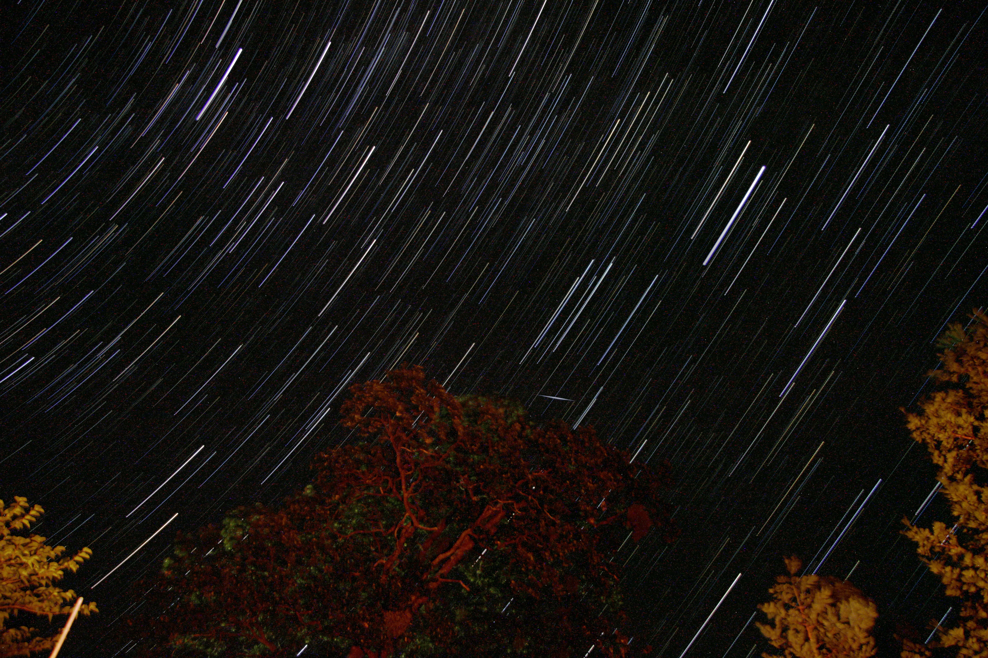
Sleep Walk

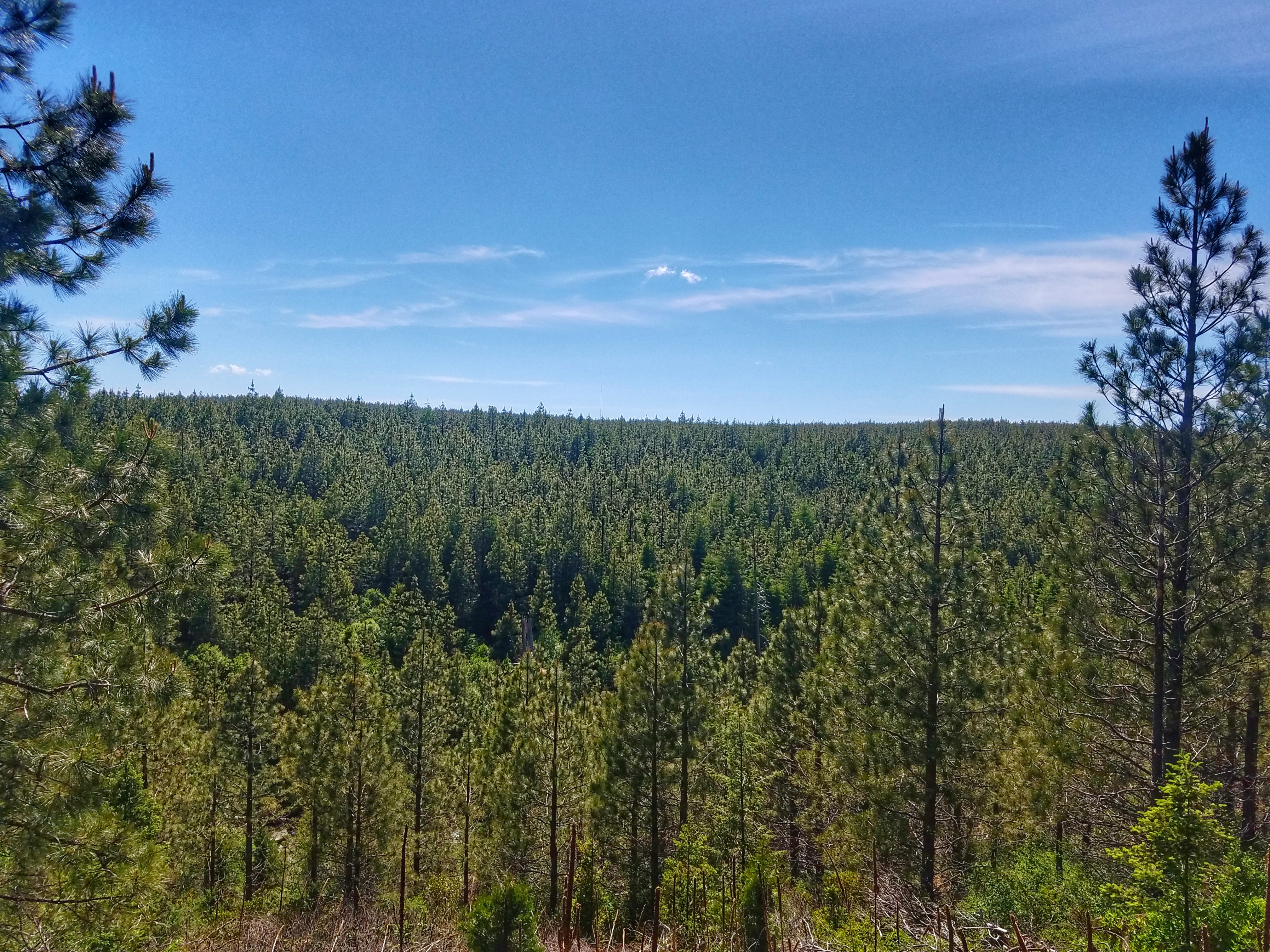
snowy mountains

Remnants of the Past: A California Mining Historical Piece (Part 6)
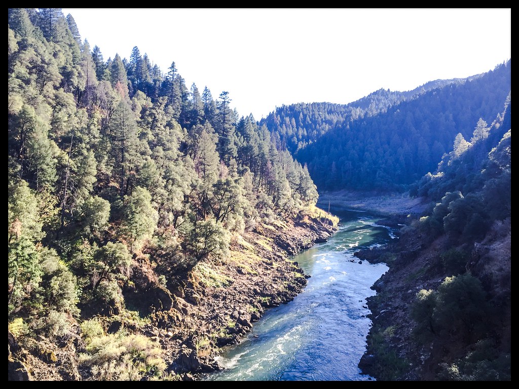
Pit Rivet Arm of Lake Shasta

Took the boat up the river! So much fun! We spent 4 days on the boat and it was a blast. Back to work in a couple days...

_8210034.NEF

Fountain Fire Vista Point [03.30.13]

Fairytale Land [03.30.13]

Ingot's Afterthought Mine [03.30.13]

Secret Turkey Spot- decoy in place

Annular Solar Eclipse of May 20, 2012

Remnants of the Past: A California Mining Historical Piece (Part 5)
20170601_153646-01

_7150056.NEF
Redding exposures by the firelight

Redding exposures by the firelight

On the way to McArthur-Burney Falls

_9080265.NEF

_8210039.NEF

_8010156.NEF

_8010157.NEF

CCC Building, Whitmore, CA
Mapa de Phillips Rd, Oak Run, CA, EE. UU.
Buscar otro lugar
Lugares cercanos
Buzzard Roost Rd, Bella Vista, CA, EE. UU.
CA-, Round Mountain, CA, EE. UU.
Phillips Rd, Oak Run, CA, EE. UU.
Rl Smith Logging Rd, Oak Run, CA, EE. UU.
Bullskin Ridge Rd, Oak Run, CA, EE. UU.
Fern Rd E, Whitmore, CA, EE. UU.
Strawn Ranch Rd, Oak Run, CA, EE. UU.
Oak Run to Fern Rd, Oak Run, CA, EE. UU.
Fern Rd, Whitmore, CA, EE. UU.
Oak Run, CA, EE. UU.
Oak Run to Fern Rd, Oak Run, CA, EE. UU.
Oak Run Country Store, Oak Run to Fern Rd, Oak Run, CA, EE. UU.
Lookout Mountain Road, Lookout Mountain Rd, Oak Run, CA, EE. UU.
Fern Rd, Whitmore, CA, EE. UU.
Fern Rd, Whitmore, CA, EE. UU.
Notta Rd, Whitmore, CA, EE. UU.
Atkins Rd, Whitmore, CA, EE. UU.
Whitmore, CA, EE. UU.
Whitmore Rd, Whitmore, CA, EE. UU.
Emerald Woods Ln, Whitmore, CA, EE. UU.
Búsquedas recientes
- Horas de salida y puesta de sol de Red Dog Mine, AK, USA
- Horas de salida y puesta de sol de Am Bahnhof, Am bhf, Borken, Germany
- Horas de salida y puesta de sol de 4th St E, Sonoma, CA, EE. UU.
- Horas de salida y puesta de sol de Oakland Ave, Williamsport, PA, EE. UU.
- Horas de salida y puesta de sol de Via Roma, Pieranica CR, Italia
- Horas de salida y puesta de sol de Torre del reloj, Grad, Dubrovnik (Ragusa), Croacia
- Horas de salida y puesta de sol de Trelew, Chubut, Argentina
- Horas de salida y puesta de sol de Hartfords Bluff Cir, Mt Pleasant, SC, EE. UU.
- Horas de salida y puesta de sol de Kita Ward, Kumamoto, Japón
- Horas de salida y puesta de sol de Pingtan Island, Pingtan County, Fuzhou, China