Horas de salida y puesta de sol de Otter Creek Road, Otter Creek Rd, Nantahala, NC, EE. UU.
Location: Estados Unidos > Carolina del Norte > Condado de Cherokee > Valleytown > Topton >
Zona horaria:
America/New_York
Hora local:
2025-07-10 04:10:39
Longitud:
-83.6018441
Latitud:
35.2597734
Salida de sol de hoy:
06:28:28 AM
Puesta de sol de hoy:
08:51:20 PM
La duración del día hoy:
14h 22m 52s
Salida de sol de mañana:
06:29:04 AM
Puesta de sol de mañana:
08:51:00 PM
La duración del día mañana:
14h 21m 56s
Mostrar todas las fechas
| Fecha | Salida de sol | Puesta de sol | Duración del día |
|---|---|---|---|
| 01/01/2025 | 07:43:10 AM | 05:33:52 PM | 9h 50m 42s |
| 02/01/2025 | 07:43:18 AM | 05:34:40 PM | 9h 51m 22s |
| 03/01/2025 | 07:43:24 AM | 05:35:29 PM | 9h 52m 5s |
| 04/01/2025 | 07:43:27 AM | 05:36:19 PM | 9h 52m 52s |
| 05/01/2025 | 07:43:29 AM | 05:37:10 PM | 9h 53m 41s |
| 06/01/2025 | 07:43:29 AM | 05:38:02 PM | 9h 54m 33s |
| 07/01/2025 | 07:43:27 AM | 05:38:54 PM | 9h 55m 27s |
| 08/01/2025 | 07:43:23 AM | 05:39:48 PM | 9h 56m 25s |
| 09/01/2025 | 07:43:17 AM | 05:40:42 PM | 9h 57m 25s |
| 10/01/2025 | 07:43:10 AM | 05:41:38 PM | 9h 58m 28s |
| 11/01/2025 | 07:43:00 AM | 05:42:34 PM | 9h 59m 34s |
| 12/01/2025 | 07:42:48 AM | 05:43:30 PM | 10h 0m 42s |
| 13/01/2025 | 07:42:35 AM | 05:44:28 PM | 10h 1m 53s |
| 14/01/2025 | 07:42:19 AM | 05:45:26 PM | 10h 3m 7s |
| 15/01/2025 | 07:42:02 AM | 05:46:24 PM | 10h 4m 22s |
| 16/01/2025 | 07:41:42 AM | 05:47:23 PM | 10h 5m 41s |
| 17/01/2025 | 07:41:21 AM | 05:48:22 PM | 10h 7m 1s |
| 18/01/2025 | 07:40:58 AM | 05:49:22 PM | 10h 8m 24s |
| 19/01/2025 | 07:40:34 AM | 05:50:22 PM | 10h 9m 48s |
| 20/01/2025 | 07:40:07 AM | 05:51:23 PM | 10h 11m 16s |
| 21/01/2025 | 07:39:38 AM | 05:52:24 PM | 10h 12m 46s |
| 22/01/2025 | 07:39:08 AM | 05:53:25 PM | 10h 14m 17s |
| 23/01/2025 | 07:38:36 AM | 05:54:26 PM | 10h 15m 50s |
| 24/01/2025 | 07:38:02 AM | 05:55:27 PM | 10h 17m 25s |
| 25/01/2025 | 07:37:27 AM | 05:56:29 PM | 10h 19m 2s |
| 26/01/2025 | 07:36:50 AM | 05:57:30 PM | 10h 20m 40s |
| 27/01/2025 | 07:36:11 AM | 05:58:32 PM | 10h 22m 21s |
| 28/01/2025 | 07:35:30 AM | 05:59:34 PM | 10h 24m 4s |
| 29/01/2025 | 07:34:48 AM | 06:00:35 PM | 10h 25m 47s |
| 30/01/2025 | 07:34:04 AM | 06:01:37 PM | 10h 27m 33s |
| 31/01/2025 | 07:33:19 AM | 06:02:39 PM | 10h 29m 20s |
| 01/02/2025 | 07:32:32 AM | 06:03:40 PM | 10h 31m 8s |
| 02/02/2025 | 07:31:44 AM | 06:04:41 PM | 10h 32m 57s |
| 03/02/2025 | 07:30:54 AM | 06:05:43 PM | 10h 34m 49s |
| 04/02/2025 | 07:30:02 AM | 06:06:44 PM | 10h 36m 42s |
| 05/02/2025 | 07:29:10 AM | 06:07:45 PM | 10h 38m 35s |
| 06/02/2025 | 07:28:15 AM | 06:08:46 PM | 10h 40m 31s |
| 07/02/2025 | 07:27:20 AM | 06:09:46 PM | 10h 42m 26s |
| 08/02/2025 | 07:26:23 AM | 06:10:46 PM | 10h 44m 23s |
| 09/02/2025 | 07:25:25 AM | 06:11:46 PM | 10h 46m 21s |
| 10/02/2025 | 07:24:25 AM | 06:12:46 PM | 10h 48m 21s |
| 11/02/2025 | 07:23:24 AM | 06:13:46 PM | 10h 50m 22s |
| 12/02/2025 | 07:22:23 AM | 06:14:45 PM | 10h 52m 22s |
| 13/02/2025 | 07:21:19 AM | 06:15:44 PM | 10h 54m 25s |
| 14/02/2025 | 07:20:15 AM | 06:16:43 PM | 10h 56m 28s |
| 15/02/2025 | 07:19:10 AM | 06:17:41 PM | 10h 58m 31s |
| 16/02/2025 | 07:18:03 AM | 06:18:39 PM | 11h 0m 36s |
| 17/02/2025 | 07:16:56 AM | 06:19:37 PM | 11h 2m 41s |
| 18/02/2025 | 07:15:47 AM | 06:20:34 PM | 11h 4m 47s |
| 19/02/2025 | 07:14:37 AM | 06:21:31 PM | 11h 6m 54s |
| 20/02/2025 | 07:13:27 AM | 06:22:28 PM | 11h 9m 1s |
| 21/02/2025 | 07:12:15 AM | 06:23:24 PM | 11h 11m 9s |
| 22/02/2025 | 07:11:03 AM | 06:24:20 PM | 11h 13m 17s |
| 23/02/2025 | 07:09:50 AM | 06:25:16 PM | 11h 15m 26s |
| 24/02/2025 | 07:08:36 AM | 06:26:11 PM | 11h 17m 35s |
| 25/02/2025 | 07:07:21 AM | 06:27:06 PM | 11h 19m 45s |
| 26/02/2025 | 07:06:05 AM | 06:28:01 PM | 11h 21m 56s |
| 27/02/2025 | 07:04:49 AM | 06:28:55 PM | 11h 24m 6s |
| 28/02/2025 | 07:03:32 AM | 06:29:49 PM | 11h 26m 17s |
| 01/03/2025 | 07:02:14 AM | 06:30:43 PM | 11h 28m 29s |
| 02/03/2025 | 07:00:55 AM | 06:31:36 PM | 11h 30m 41s |
| 03/03/2025 | 06:59:36 AM | 06:32:29 PM | 11h 32m 53s |
| 04/03/2025 | 06:58:17 AM | 06:33:22 PM | 11h 35m 5s |
| 05/03/2025 | 06:56:56 AM | 06:34:14 PM | 11h 37m 18s |
| 06/03/2025 | 06:55:36 AM | 06:35:07 PM | 11h 39m 31s |
| 07/03/2025 | 06:54:15 AM | 06:35:58 PM | 11h 41m 43s |
| 08/03/2025 | 06:52:53 AM | 06:36:50 PM | 11h 43m 57s |
| 09/03/2025 | 07:51:34 AM | 07:37:39 PM | 11h 46m 5s |
| 10/03/2025 | 07:50:12 AM | 07:38:30 PM | 11h 48m 18s |
| 11/03/2025 | 07:48:49 AM | 07:39:21 PM | 11h 50m 32s |
| 12/03/2025 | 07:47:26 AM | 07:40:12 PM | 11h 52m 46s |
| 13/03/2025 | 07:46:02 AM | 07:41:03 PM | 11h 55m 1s |
| 14/03/2025 | 07:44:38 AM | 07:41:53 PM | 11h 57m 15s |
| 15/03/2025 | 07:43:14 AM | 07:42:43 PM | 11h 59m 29s |
| 16/03/2025 | 07:41:50 AM | 07:43:33 PM | 12h 1m 43s |
| 17/03/2025 | 07:40:26 AM | 07:44:22 PM | 12h 3m 56s |
| 18/03/2025 | 07:39:01 AM | 07:45:12 PM | 12h 6m 11s |
| 19/03/2025 | 07:37:36 AM | 07:46:01 PM | 12h 8m 25s |
| 20/03/2025 | 07:36:11 AM | 07:46:51 PM | 12h 10m 40s |
| 21/03/2025 | 07:34:47 AM | 07:47:40 PM | 12h 12m 53s |
| 22/03/2025 | 07:33:22 AM | 07:48:29 PM | 12h 15m 7s |
| 23/03/2025 | 07:31:57 AM | 07:49:17 PM | 12h 17m 20s |
| 24/03/2025 | 07:30:32 AM | 07:50:06 PM | 12h 19m 34s |
| 25/03/2025 | 07:29:07 AM | 07:50:55 PM | 12h 21m 48s |
| 26/03/2025 | 07:27:42 AM | 07:51:44 PM | 12h 24m 2s |
| 27/03/2025 | 07:26:17 AM | 07:52:32 PM | 12h 26m 15s |
| 28/03/2025 | 07:24:53 AM | 07:53:21 PM | 12h 28m 28s |
| 29/03/2025 | 07:23:28 AM | 07:54:09 PM | 12h 30m 41s |
| 30/03/2025 | 07:22:04 AM | 07:54:57 PM | 12h 32m 53s |
| 31/03/2025 | 07:20:40 AM | 07:55:46 PM | 12h 35m 6s |
| 01/04/2025 | 07:19:16 AM | 07:56:34 PM | 12h 37m 18s |
| 02/04/2025 | 07:17:53 AM | 07:57:23 PM | 12h 39m 30s |
| 03/04/2025 | 07:16:29 AM | 07:58:11 PM | 12h 41m 42s |
| 04/04/2025 | 07:15:07 AM | 07:58:59 PM | 12h 43m 52s |
| 05/04/2025 | 07:13:44 AM | 07:59:48 PM | 12h 46m 4s |
| 06/04/2025 | 07:12:22 AM | 08:00:36 PM | 12h 48m 14s |
| 07/04/2025 | 07:11:00 AM | 08:01:25 PM | 12h 50m 25s |
| 08/04/2025 | 07:09:39 AM | 08:02:13 PM | 12h 52m 34s |
| 09/04/2025 | 07:08:18 AM | 08:03:02 PM | 12h 54m 44s |
| 10/04/2025 | 07:06:58 AM | 08:03:50 PM | 12h 56m 52s |
| 11/04/2025 | 07:05:39 AM | 08:04:39 PM | 12h 59m 0s |
| 12/04/2025 | 07:04:19 AM | 08:05:27 PM | 13h 1m 8s |
| 13/04/2025 | 07:03:01 AM | 08:06:16 PM | 13h 3m 15s |
| 14/04/2025 | 07:01:43 AM | 08:07:05 PM | 13h 5m 22s |
| 15/04/2025 | 07:00:26 AM | 08:07:54 PM | 13h 7m 28s |
| 16/04/2025 | 06:59:09 AM | 08:08:43 PM | 13h 9m 34s |
| 17/04/2025 | 06:57:53 AM | 08:09:32 PM | 13h 11m 39s |
| 18/04/2025 | 06:56:38 AM | 08:10:21 PM | 13h 13m 43s |
| 19/04/2025 | 06:55:24 AM | 08:11:10 PM | 13h 15m 46s |
| 20/04/2025 | 06:54:10 AM | 08:11:59 PM | 13h 17m 49s |
| 21/04/2025 | 06:52:58 AM | 08:12:48 PM | 13h 19m 50s |
| 22/04/2025 | 06:51:46 AM | 08:13:38 PM | 13h 21m 52s |
| 23/04/2025 | 06:50:35 AM | 08:14:27 PM | 13h 23m 52s |
| 24/04/2025 | 06:49:25 AM | 08:15:16 PM | 13h 25m 51s |
| 25/04/2025 | 06:48:16 AM | 08:16:06 PM | 13h 27m 50s |
| 26/04/2025 | 06:47:08 AM | 08:16:55 PM | 13h 29m 47s |
| 27/04/2025 | 06:46:01 AM | 08:17:44 PM | 13h 31m 43s |
| 28/04/2025 | 06:44:55 AM | 08:18:34 PM | 13h 33m 39s |
| 29/04/2025 | 06:43:50 AM | 08:19:23 PM | 13h 35m 33s |
| 30/04/2025 | 06:42:46 AM | 08:20:13 PM | 13h 37m 27s |
| 01/05/2025 | 06:41:43 AM | 08:21:02 PM | 13h 39m 19s |
| 02/05/2025 | 06:40:41 AM | 08:21:52 PM | 13h 41m 11s |
| 03/05/2025 | 06:39:40 AM | 08:22:41 PM | 13h 43m 1s |
| 04/05/2025 | 06:38:41 AM | 08:23:30 PM | 13h 44m 49s |
| 05/05/2025 | 06:37:43 AM | 08:24:19 PM | 13h 46m 36s |
| 06/05/2025 | 06:36:46 AM | 08:25:08 PM | 13h 48m 22s |
| 07/05/2025 | 06:35:50 AM | 08:25:57 PM | 13h 50m 7s |
| 08/05/2025 | 06:34:56 AM | 08:26:46 PM | 13h 51m 50s |
| 09/05/2025 | 06:34:03 AM | 08:27:34 PM | 13h 53m 31s |
| 10/05/2025 | 06:33:11 AM | 08:28:23 PM | 13h 55m 12s |
| 11/05/2025 | 06:32:21 AM | 08:29:11 PM | 13h 56m 50s |
| 12/05/2025 | 06:31:32 AM | 08:29:59 PM | 13h 58m 27s |
| 13/05/2025 | 06:30:44 AM | 08:30:46 PM | 14h 0m 2s |
| 14/05/2025 | 06:29:58 AM | 08:31:34 PM | 14h 1m 36s |
| 15/05/2025 | 06:29:14 AM | 08:32:21 PM | 14h 3m 7s |
| 16/05/2025 | 06:28:30 AM | 08:33:08 PM | 14h 4m 38s |
| 17/05/2025 | 06:27:49 AM | 08:33:54 PM | 14h 6m 5s |
| 18/05/2025 | 06:27:08 AM | 08:34:40 PM | 14h 7m 32s |
| 19/05/2025 | 06:26:30 AM | 08:35:25 PM | 14h 8m 55s |
| 20/05/2025 | 06:25:53 AM | 08:36:10 PM | 14h 10m 17s |
| 21/05/2025 | 06:25:17 AM | 08:36:55 PM | 14h 11m 38s |
| 22/05/2025 | 06:24:43 AM | 08:37:39 PM | 14h 12m 56s |
| 23/05/2025 | 06:24:11 AM | 08:38:22 PM | 14h 14m 11s |
| 24/05/2025 | 06:23:40 AM | 08:39:05 PM | 14h 15m 25s |
| 25/05/2025 | 06:23:10 AM | 08:39:47 PM | 14h 16m 37s |
| 26/05/2025 | 06:22:43 AM | 08:40:29 PM | 14h 17m 46s |
| 27/05/2025 | 06:22:17 AM | 08:41:09 PM | 14h 18m 52s |
| 28/05/2025 | 06:21:53 AM | 08:41:49 PM | 14h 19m 56s |
| 29/05/2025 | 06:21:30 AM | 08:42:29 PM | 14h 20m 59s |
| 30/05/2025 | 06:21:09 AM | 08:43:07 PM | 14h 21m 58s |
| 31/05/2025 | 06:20:50 AM | 08:43:45 PM | 14h 22m 55s |
| 01/06/2025 | 06:20:32 AM | 08:44:21 PM | 14h 23m 49s |
| 02/06/2025 | 06:20:16 AM | 08:44:57 PM | 14h 24m 41s |
| 03/06/2025 | 06:20:01 AM | 08:45:32 PM | 14h 25m 31s |
| 04/06/2025 | 06:19:49 AM | 08:46:06 PM | 14h 26m 17s |
| 05/06/2025 | 06:19:38 AM | 08:46:39 PM | 14h 27m 1s |
| 06/06/2025 | 06:19:28 AM | 08:47:10 PM | 14h 27m 42s |
| 07/06/2025 | 06:19:21 AM | 08:47:41 PM | 14h 28m 20s |
| 08/06/2025 | 06:19:15 AM | 08:48:11 PM | 14h 28m 56s |
| 09/06/2025 | 06:19:10 AM | 08:48:39 PM | 14h 29m 29s |
| 10/06/2025 | 06:19:07 AM | 08:49:06 PM | 14h 29m 59s |
| 11/06/2025 | 06:19:06 AM | 08:49:32 PM | 14h 30m 26s |
| 12/06/2025 | 06:19:07 AM | 08:49:57 PM | 14h 30m 50s |
| 13/06/2025 | 06:19:09 AM | 08:50:20 PM | 14h 31m 11s |
| 14/06/2025 | 06:19:13 AM | 08:50:42 PM | 14h 31m 29s |
| 15/06/2025 | 06:19:18 AM | 08:51:02 PM | 14h 31m 44s |
| 16/06/2025 | 06:19:25 AM | 08:51:22 PM | 14h 31m 57s |
| 17/06/2025 | 06:19:33 AM | 08:51:39 PM | 14h 32m 6s |
| 18/06/2025 | 06:19:43 AM | 08:51:56 PM | 14h 32m 13s |
| 19/06/2025 | 06:19:54 AM | 08:52:11 PM | 14h 32m 17s |
| 20/06/2025 | 06:20:07 AM | 08:52:24 PM | 14h 32m 17s |
| 21/06/2025 | 06:20:21 AM | 08:52:36 PM | 14h 32m 15s |
| 22/06/2025 | 06:20:37 AM | 08:52:46 PM | 14h 32m 9s |
| 23/06/2025 | 06:20:54 AM | 08:52:55 PM | 14h 32m 1s |
| 24/06/2025 | 06:21:12 AM | 08:53:02 PM | 14h 31m 50s |
| 25/06/2025 | 06:21:32 AM | 08:53:08 PM | 14h 31m 36s |
| 26/06/2025 | 06:21:53 AM | 08:53:12 PM | 14h 31m 19s |
| 27/06/2025 | 06:22:15 AM | 08:53:14 PM | 14h 30m 59s |
| 28/06/2025 | 06:22:39 AM | 08:53:14 PM | 14h 30m 35s |
| 29/06/2025 | 06:23:03 AM | 08:53:13 PM | 14h 30m 10s |
| 30/06/2025 | 06:23:29 AM | 08:53:11 PM | 14h 29m 42s |
| 01/07/2025 | 06:23:56 AM | 08:53:06 PM | 14h 29m 10s |
| 02/07/2025 | 06:24:25 AM | 08:53:00 PM | 14h 28m 35s |
| 03/07/2025 | 06:24:54 AM | 08:52:53 PM | 14h 27m 59s |
| 04/07/2025 | 06:25:24 AM | 08:52:43 PM | 14h 27m 19s |
| 05/07/2025 | 06:25:56 AM | 08:52:32 PM | 14h 26m 36s |
| 06/07/2025 | 06:26:28 AM | 08:52:19 PM | 14h 25m 51s |
| 07/07/2025 | 06:27:01 AM | 08:52:04 PM | 14h 25m 3s |
| 08/07/2025 | 06:27:35 AM | 08:51:48 PM | 14h 24m 13s |
| 09/07/2025 | 06:28:10 AM | 08:51:30 PM | 14h 23m 20s |
| 10/07/2025 | 06:28:46 AM | 08:51:10 PM | 14h 22m 24s |
| 11/07/2025 | 06:29:23 AM | 08:50:49 PM | 14h 21m 26s |
| 12/07/2025 | 06:30:00 AM | 08:50:26 PM | 14h 20m 26s |
| 13/07/2025 | 06:30:38 AM | 08:50:01 PM | 14h 19m 23s |
| 14/07/2025 | 06:31:17 AM | 08:49:35 PM | 14h 18m 18s |
| 15/07/2025 | 06:31:56 AM | 08:49:07 PM | 14h 17m 11s |
| 16/07/2025 | 06:32:36 AM | 08:48:37 PM | 14h 16m 1s |
| 17/07/2025 | 06:33:17 AM | 08:48:05 PM | 14h 14m 48s |
| 18/07/2025 | 06:33:58 AM | 08:47:32 PM | 14h 13m 34s |
| 19/07/2025 | 06:34:40 AM | 08:46:58 PM | 14h 12m 18s |
| 20/07/2025 | 06:35:22 AM | 08:46:21 PM | 14h 10m 59s |
| 21/07/2025 | 06:36:05 AM | 08:45:43 PM | 14h 9m 38s |
| 22/07/2025 | 06:36:48 AM | 08:45:04 PM | 14h 8m 16s |
| 23/07/2025 | 06:37:31 AM | 08:44:23 PM | 14h 6m 52s |
| 24/07/2025 | 06:38:15 AM | 08:43:40 PM | 14h 5m 25s |
| 25/07/2025 | 06:38:59 AM | 08:42:56 PM | 14h 3m 57s |
| 26/07/2025 | 06:39:43 AM | 08:42:11 PM | 14h 2m 28s |
| 27/07/2025 | 06:40:28 AM | 08:41:24 PM | 14h 0m 56s |
| 28/07/2025 | 06:41:13 AM | 08:40:35 PM | 13h 59m 22s |
| 29/07/2025 | 06:41:58 AM | 08:39:46 PM | 13h 57m 48s |
| 30/07/2025 | 06:42:43 AM | 08:38:54 PM | 13h 56m 11s |
| 31/07/2025 | 06:43:29 AM | 08:38:02 PM | 13h 54m 33s |
| 01/08/2025 | 06:44:14 AM | 08:37:07 PM | 13h 52m 53s |
| 02/08/2025 | 06:45:00 AM | 08:36:12 PM | 13h 51m 12s |
| 03/08/2025 | 06:45:46 AM | 08:35:15 PM | 13h 49m 29s |
| 04/08/2025 | 06:46:32 AM | 08:34:17 PM | 13h 47m 45s |
| 05/08/2025 | 06:47:18 AM | 08:33:18 PM | 13h 46m 0s |
| 06/08/2025 | 06:48:04 AM | 08:32:18 PM | 13h 44m 14s |
| 07/08/2025 | 06:48:50 AM | 08:31:16 PM | 13h 42m 26s |
| 08/08/2025 | 06:49:36 AM | 08:30:13 PM | 13h 40m 37s |
| 09/08/2025 | 06:50:22 AM | 08:29:09 PM | 13h 38m 47s |
| 10/08/2025 | 06:51:08 AM | 08:28:04 PM | 13h 36m 56s |
| 11/08/2025 | 06:51:54 AM | 08:26:57 PM | 13h 35m 3s |
| 12/08/2025 | 06:52:40 AM | 08:25:50 PM | 13h 33m 10s |
| 13/08/2025 | 06:53:26 AM | 08:24:42 PM | 13h 31m 16s |
| 14/08/2025 | 06:54:12 AM | 08:23:32 PM | 13h 29m 20s |
| 15/08/2025 | 06:54:58 AM | 08:22:22 PM | 13h 27m 24s |
| 16/08/2025 | 06:55:44 AM | 08:21:10 PM | 13h 25m 26s |
| 17/08/2025 | 06:56:29 AM | 08:19:58 PM | 13h 23m 29s |
| 18/08/2025 | 06:57:15 AM | 08:18:45 PM | 13h 21m 30s |
| 19/08/2025 | 06:58:01 AM | 08:17:31 PM | 13h 19m 30s |
| 20/08/2025 | 06:58:46 AM | 08:16:16 PM | 13h 17m 30s |
| 21/08/2025 | 06:59:31 AM | 08:15:00 PM | 13h 15m 29s |
| 22/08/2025 | 07:00:17 AM | 08:13:43 PM | 13h 13m 26s |
| 23/08/2025 | 07:01:02 AM | 08:12:26 PM | 13h 11m 24s |
| 24/08/2025 | 07:01:47 AM | 08:11:08 PM | 13h 9m 21s |
| 25/08/2025 | 07:02:32 AM | 08:09:49 PM | 13h 7m 17s |
| 26/08/2025 | 07:03:17 AM | 08:08:30 PM | 13h 5m 13s |
| 27/08/2025 | 07:04:02 AM | 08:07:09 PM | 13h 3m 7s |
| 28/08/2025 | 07:04:46 AM | 08:05:49 PM | 13h 1m 3s |
| 29/08/2025 | 07:05:31 AM | 08:04:27 PM | 12h 58m 56s |
| 30/08/2025 | 07:06:16 AM | 08:03:05 PM | 12h 56m 49s |
| 31/08/2025 | 07:07:00 AM | 08:01:43 PM | 12h 54m 43s |
| 01/09/2025 | 07:07:44 AM | 08:00:20 PM | 12h 52m 36s |
| 02/09/2025 | 07:08:29 AM | 07:58:56 PM | 12h 50m 27s |
| 03/09/2025 | 07:09:13 AM | 07:57:33 PM | 12h 48m 20s |
| 04/09/2025 | 07:09:57 AM | 07:56:08 PM | 12h 46m 11s |
| 05/09/2025 | 07:10:41 AM | 07:54:43 PM | 12h 44m 2s |
| 06/09/2025 | 07:11:26 AM | 07:53:18 PM | 12h 41m 52s |
| 07/09/2025 | 07:12:10 AM | 07:51:53 PM | 12h 39m 43s |
| 08/09/2025 | 07:12:54 AM | 07:50:27 PM | 12h 37m 33s |
| 09/09/2025 | 07:13:38 AM | 07:49:01 PM | 12h 35m 23s |
| 10/09/2025 | 07:14:22 AM | 07:47:35 PM | 12h 33m 13s |
| 11/09/2025 | 07:15:06 AM | 07:46:08 PM | 12h 31m 2s |
| 12/09/2025 | 07:15:50 AM | 07:44:42 PM | 12h 28m 52s |
| 13/09/2025 | 07:16:34 AM | 07:43:15 PM | 12h 26m 41s |
| 14/09/2025 | 07:17:19 AM | 07:41:48 PM | 12h 24m 29s |
| 15/09/2025 | 07:18:03 AM | 07:40:21 PM | 12h 22m 18s |
| 16/09/2025 | 07:18:47 AM | 07:38:53 PM | 12h 20m 6s |
| 17/09/2025 | 07:19:31 AM | 07:37:26 PM | 12h 17m 55s |
| 18/09/2025 | 07:20:16 AM | 07:35:59 PM | 12h 15m 43s |
| 19/09/2025 | 07:21:01 AM | 07:34:32 PM | 12h 13m 31s |
| 20/09/2025 | 07:21:45 AM | 07:33:04 PM | 12h 11m 19s |
| 21/09/2025 | 07:22:30 AM | 07:31:37 PM | 12h 9m 7s |
| 22/09/2025 | 07:23:15 AM | 07:30:10 PM | 12h 6m 55s |
| 23/09/2025 | 07:24:00 AM | 07:28:43 PM | 12h 4m 43s |
| 24/09/2025 | 07:24:45 AM | 07:27:16 PM | 12h 2m 31s |
| 25/09/2025 | 07:25:31 AM | 07:25:49 PM | 12h 0m 18s |
| 26/09/2025 | 07:26:16 AM | 07:24:23 PM | 11h 58m 7s |
| 27/09/2025 | 07:27:02 AM | 07:22:57 PM | 11h 55m 55s |
| 28/09/2025 | 07:27:48 AM | 07:21:31 PM | 11h 53m 43s |
| 29/09/2025 | 07:28:34 AM | 07:20:05 PM | 11h 51m 31s |
| 30/09/2025 | 07:29:21 AM | 07:18:40 PM | 11h 49m 19s |
| 01/10/2025 | 07:30:07 AM | 07:17:15 PM | 11h 47m 8s |
| 02/10/2025 | 07:30:54 AM | 07:15:50 PM | 11h 44m 56s |
| 03/10/2025 | 07:31:42 AM | 07:14:26 PM | 11h 42m 44s |
| 04/10/2025 | 07:32:29 AM | 07:13:02 PM | 11h 40m 33s |
| 05/10/2025 | 07:33:17 AM | 07:11:39 PM | 11h 38m 22s |
| 06/10/2025 | 07:34:05 AM | 07:10:16 PM | 11h 36m 11s |
| 07/10/2025 | 07:34:53 AM | 07:08:54 PM | 11h 34m 1s |
| 08/10/2025 | 07:35:42 AM | 07:07:32 PM | 11h 31m 50s |
| 09/10/2025 | 07:36:31 AM | 07:06:11 PM | 11h 29m 40s |
| 10/10/2025 | 07:37:20 AM | 07:04:51 PM | 11h 27m 31s |
| 11/10/2025 | 07:38:10 AM | 07:03:31 PM | 11h 25m 21s |
| 12/10/2025 | 07:39:00 AM | 07:02:12 PM | 11h 23m 12s |
| 13/10/2025 | 07:39:50 AM | 07:00:54 PM | 11h 21m 4s |
| 14/10/2025 | 07:40:41 AM | 06:59:36 PM | 11h 18m 55s |
| 15/10/2025 | 07:41:32 AM | 06:58:19 PM | 11h 16m 47s |
| 16/10/2025 | 07:42:23 AM | 06:57:03 PM | 11h 14m 40s |
| 17/10/2025 | 07:43:15 AM | 06:55:48 PM | 11h 12m 33s |
| 18/10/2025 | 07:44:07 AM | 06:54:33 PM | 11h 10m 26s |
| 19/10/2025 | 07:44:59 AM | 06:53:20 PM | 11h 8m 21s |
| 20/10/2025 | 07:45:52 AM | 06:52:07 PM | 11h 6m 15s |
| 21/10/2025 | 07:46:45 AM | 06:50:56 PM | 11h 4m 11s |
| 22/10/2025 | 07:47:39 AM | 06:49:45 PM | 11h 2m 6s |
| 23/10/2025 | 07:48:33 AM | 06:48:36 PM | 11h 0m 3s |
| 24/10/2025 | 07:49:27 AM | 06:47:27 PM | 10h 58m 0s |
| 25/10/2025 | 07:50:22 AM | 06:46:20 PM | 10h 55m 58s |
| 26/10/2025 | 07:51:17 AM | 06:45:14 PM | 10h 53m 57s |
| 27/10/2025 | 07:52:12 AM | 06:44:09 PM | 10h 51m 57s |
| 28/10/2025 | 07:53:08 AM | 06:43:05 PM | 10h 49m 57s |
| 29/10/2025 | 07:54:04 AM | 06:42:02 PM | 10h 47m 58s |
| 30/10/2025 | 07:55:00 AM | 06:41:01 PM | 10h 46m 1s |
| 31/10/2025 | 07:55:56 AM | 06:40:01 PM | 10h 44m 5s |
| 01/11/2025 | 07:56:53 AM | 06:39:02 PM | 10h 42m 9s |
| 02/11/2025 | 06:57:53 AM | 05:38:02 PM | 10h 40m 9s |
| 03/11/2025 | 06:58:50 AM | 05:37:06 PM | 10h 38m 16s |
| 04/11/2025 | 06:59:48 AM | 05:36:11 PM | 10h 36m 23s |
| 05/11/2025 | 07:00:46 AM | 05:35:18 PM | 10h 34m 32s |
| 06/11/2025 | 07:01:44 AM | 05:34:27 PM | 10h 32m 43s |
| 07/11/2025 | 07:02:42 AM | 05:33:36 PM | 10h 30m 54s |
| 08/11/2025 | 07:03:40 AM | 05:32:48 PM | 10h 29m 8s |
| 09/11/2025 | 07:04:39 AM | 05:32:01 PM | 10h 27m 22s |
| 10/11/2025 | 07:05:38 AM | 05:31:15 PM | 10h 25m 37s |
| 11/11/2025 | 07:06:36 AM | 05:30:31 PM | 10h 23m 55s |
| 12/11/2025 | 07:07:35 AM | 05:29:49 PM | 10h 22m 14s |
| 13/11/2025 | 07:08:34 AM | 05:29:08 PM | 10h 20m 34s |
| 14/11/2025 | 07:09:33 AM | 05:28:29 PM | 10h 18m 56s |
| 15/11/2025 | 07:10:32 AM | 05:27:52 PM | 10h 17m 20s |
| 16/11/2025 | 07:11:30 AM | 05:27:17 PM | 10h 15m 47s |
| 17/11/2025 | 07:12:29 AM | 05:26:43 PM | 10h 14m 14s |
| 18/11/2025 | 07:13:28 AM | 05:26:11 PM | 10h 12m 43s |
| 19/11/2025 | 07:14:26 AM | 05:25:41 PM | 10h 11m 15s |
| 20/11/2025 | 07:15:24 AM | 05:25:13 PM | 10h 9m 49s |
| 21/11/2025 | 07:16:22 AM | 05:24:46 PM | 10h 8m 24s |
| 22/11/2025 | 07:17:20 AM | 05:24:21 PM | 10h 7m 1s |
| 23/11/2025 | 07:18:17 AM | 05:23:59 PM | 10h 5m 42s |
| 24/11/2025 | 07:19:14 AM | 05:23:38 PM | 10h 4m 24s |
| 25/11/2025 | 07:20:10 AM | 05:23:19 PM | 10h 3m 9s |
| 26/11/2025 | 07:21:06 AM | 05:23:02 PM | 10h 1m 56s |
| 27/11/2025 | 07:22:02 AM | 05:22:47 PM | 10h 0m 45s |
| 28/11/2025 | 07:22:57 AM | 05:22:34 PM | 9h 59m 37s |
| 29/11/2025 | 07:23:51 AM | 05:22:23 PM | 9h 58m 32s |
| 30/11/2025 | 07:24:45 AM | 05:22:14 PM | 9h 57m 29s |
| 01/12/2025 | 07:25:38 AM | 05:22:07 PM | 9h 56m 29s |
| 02/12/2025 | 07:26:30 AM | 05:22:01 PM | 9h 55m 31s |
| 03/12/2025 | 07:27:22 AM | 05:21:58 PM | 9h 54m 36s |
| 04/12/2025 | 07:28:12 AM | 05:21:57 PM | 9h 53m 45s |
| 05/12/2025 | 07:29:02 AM | 05:21:57 PM | 9h 52m 55s |
| 06/12/2025 | 07:29:51 AM | 05:22:00 PM | 9h 52m 9s |
| 07/12/2025 | 07:30:39 AM | 05:22:05 PM | 9h 51m 26s |
| 08/12/2025 | 07:31:26 AM | 05:22:11 PM | 9h 50m 45s |
| 09/12/2025 | 07:32:11 AM | 05:22:20 PM | 9h 50m 9s |
| 10/12/2025 | 07:32:56 AM | 05:22:30 PM | 9h 49m 34s |
| 11/12/2025 | 07:33:39 AM | 05:22:43 PM | 9h 49m 4s |
| 12/12/2025 | 07:34:22 AM | 05:22:57 PM | 9h 48m 35s |
| 13/12/2025 | 07:35:02 AM | 05:23:13 PM | 9h 48m 11s |
| 14/12/2025 | 07:35:42 AM | 05:23:31 PM | 9h 47m 49s |
| 15/12/2025 | 07:36:20 AM | 05:23:51 PM | 9h 47m 31s |
| 16/12/2025 | 07:36:57 AM | 05:24:13 PM | 9h 47m 16s |
| 17/12/2025 | 07:37:33 AM | 05:24:36 PM | 9h 47m 3s |
| 18/12/2025 | 07:38:07 AM | 05:25:01 PM | 9h 46m 54s |
| 19/12/2025 | 07:38:39 AM | 05:25:28 PM | 9h 46m 49s |
| 20/12/2025 | 07:39:10 AM | 05:25:57 PM | 9h 46m 47s |
| 21/12/2025 | 07:39:39 AM | 05:26:27 PM | 9h 46m 48s |
| 22/12/2025 | 07:40:07 AM | 05:26:59 PM | 9h 46m 52s |
| 23/12/2025 | 07:40:33 AM | 05:27:33 PM | 9h 47m 0s |
| 24/12/2025 | 07:40:57 AM | 05:28:08 PM | 9h 47m 11s |
| 25/12/2025 | 07:41:20 AM | 05:28:45 PM | 9h 47m 25s |
| 26/12/2025 | 07:41:41 AM | 05:29:23 PM | 9h 47m 42s |
| 27/12/2025 | 07:42:00 AM | 05:30:03 PM | 9h 48m 3s |
| 28/12/2025 | 07:42:17 AM | 05:30:44 PM | 9h 48m 27s |
| 29/12/2025 | 07:42:33 AM | 05:31:26 PM | 9h 48m 53s |
| 30/12/2025 | 07:42:46 AM | 05:32:10 PM | 9h 49m 24s |
| 31/12/2025 | 07:42:58 AM | 05:32:55 PM | 9h 49m 57s |
Fotos

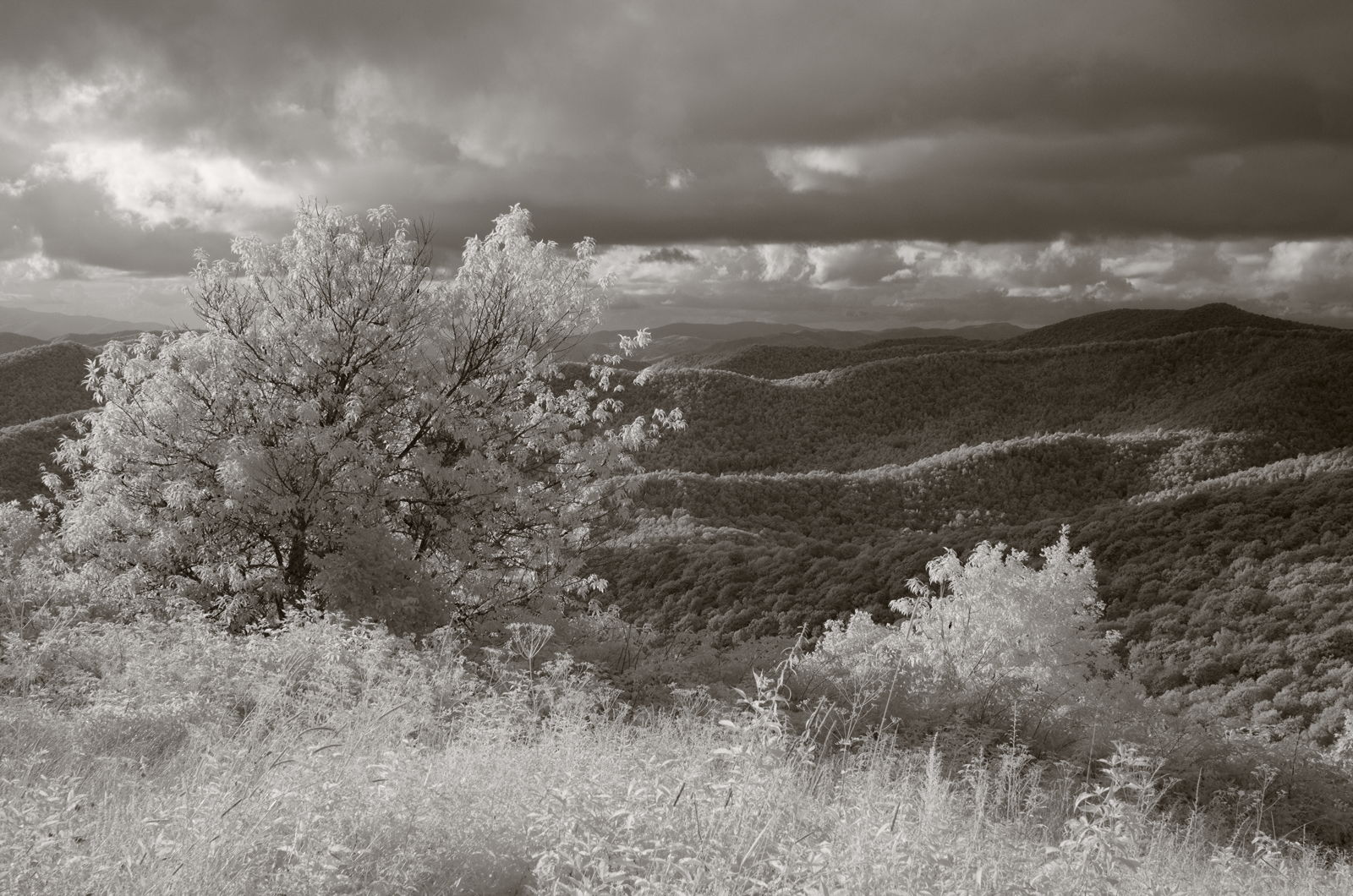
West View from Wesser Bald Observation Tower
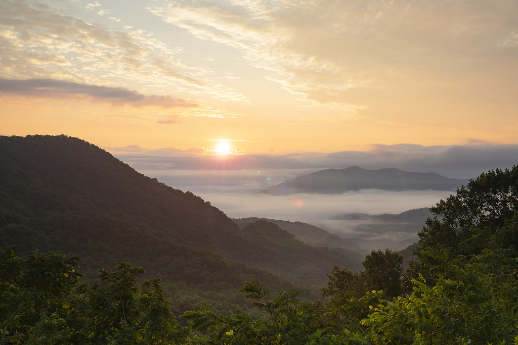
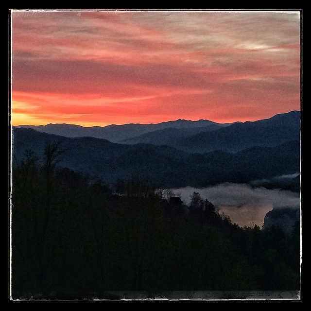
Winding Stair Sunrise
Mountain waves

Just Past the Falls

Winding Stair Sunrise
249/365

The mists of Nantahala Gorge
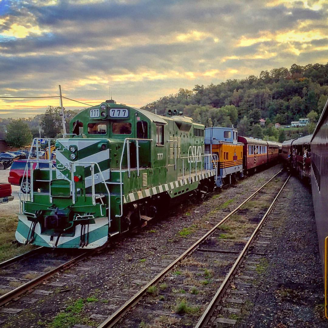
#train #sunset #northcarolina #train_nerds #trains_worldwide

#sunrise #greatsmokeymountains #northcarolina #roadtrip

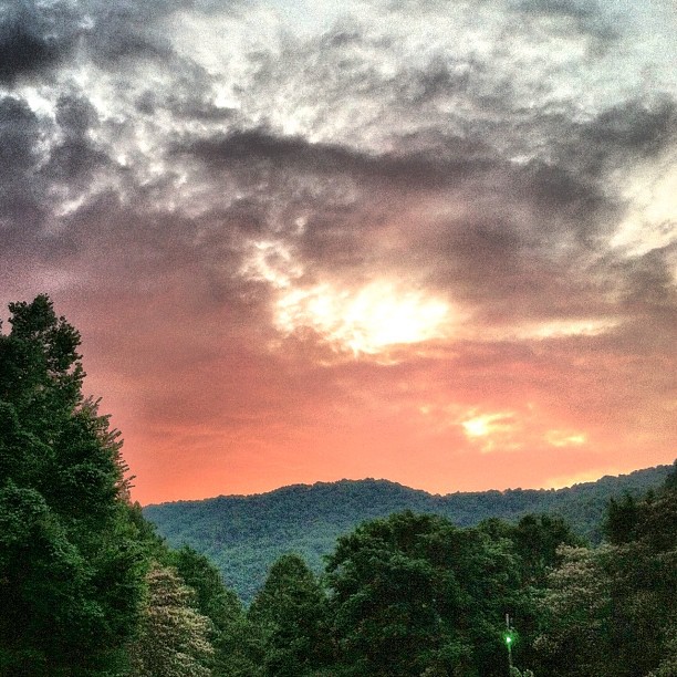
Our sunset view from the Parsons' cabin in #brysoncity #northcarolina #ttot #nofilter
#sunrise #greatsmokeymountains #nationalpark #northcarolina

Lake Fontana Sunset

Sunset over Clingman's Dome

Sunrise on the Appalachian Trail
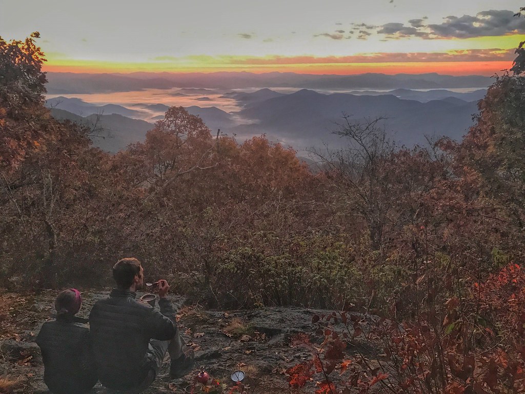
Waiting for Sunrise on the AT
Mapa de Otter Creek Road, Otter Creek Rd, Nantahala, NC, EE. UU.
Buscar otro lugar
Lugares cercanos
Deweese Rd, Topton, NC, EE. UU.
Partridge Creek Rd, Topton, NC, EE. UU.
Winding Stairs Rd, Topton, NC, EE. UU.
Winding Stairs Rd, Topton, NC, EE. UU.
Winding Stairs Rd, Topton, NC, EE. UU.
Cold Springs Creek Rd, Topton, NC, EE. UU.
Long Branch Rd, Topton, NC, EE. UU.
Birdsong Trail, Topton, NC, EE. UU.
Winding Stairs Road, Winding Stairs Rd, Topton, NC, EE. UU.
Hampton Branch Rd, Topton, NC, EE. UU.
Fairview Ln, Topton, NC, EE. UU.
Fairview Ln, Topton, NC, EE. UU.
49 Richter Dr, Topton, NC, EE. UU.
Mt Tabor Rd, Topton, NC, EE. UU.
Mt Tabor Rd, Topton, NC, EE. UU.
Hidden Lakes Rd, Topton, NC, EE. UU.
Wayah Road, Wayah Rd, North Carolina, EE. UU.
Paint Mountain, Nantahala, NC, EE. UU.
Gator Ridge Rd, Topton, NC, EE. UU.
Gator Ridge Rd, Topton, NC, EE. UU.
Búsquedas recientes
- Horas de salida y puesta de sol de Red Dog Mine, AK, USA
- Horas de salida y puesta de sol de Am Bahnhof, Am bhf, Borken, Germany
- Horas de salida y puesta de sol de 4th St E, Sonoma, CA, EE. UU.
- Horas de salida y puesta de sol de Oakland Ave, Williamsport, PA, EE. UU.
- Horas de salida y puesta de sol de Via Roma, Pieranica CR, Italia
- Horas de salida y puesta de sol de Torre del reloj, Grad, Dubrovnik (Ragusa), Croacia
- Horas de salida y puesta de sol de Trelew, Chubut, Argentina
- Horas de salida y puesta de sol de Hartfords Bluff Cir, Mt Pleasant, SC, EE. UU.
- Horas de salida y puesta de sol de Kita Ward, Kumamoto, Japón
- Horas de salida y puesta de sol de Pingtan Island, Pingtan County, Fuzhou, China