Horas de salida y puesta de sol de Na Ah Tee, AZ, EE. UU.
Location: Estados Unidos > Arizona > Condado de Navajo >
Zona horaria:
America/Denver
Hora local:
2025-06-19 20:40:16
Longitud:
-110.146596
Latitud:
35.4875223
Salida de sol de hoy:
06:05:33 AM
Puesta de sol de hoy:
08:39:08 PM
La duración del día hoy:
14h 33m 35s
Salida de sol de mañana:
06:05:47 AM
Puesta de sol de mañana:
08:39:20 PM
La duración del día mañana:
14h 33m 33s
Mostrar todas las fechas
| Fecha | Salida de sol | Puesta de sol | Duración del día |
|---|---|---|---|
| 01/01/2025 | 07:29:58 AM | 05:19:35 PM | 9h 49m 37s |
| 02/01/2025 | 07:30:05 AM | 05:20:23 PM | 9h 50m 18s |
| 03/01/2025 | 07:30:10 AM | 05:21:13 PM | 9h 51m 3s |
| 04/01/2025 | 07:30:13 AM | 05:22:03 PM | 9h 51m 50s |
| 05/01/2025 | 07:30:15 AM | 05:22:54 PM | 9h 52m 39s |
| 06/01/2025 | 07:30:14 AM | 05:23:46 PM | 9h 53m 32s |
| 07/01/2025 | 07:30:11 AM | 05:24:40 PM | 9h 54m 29s |
| 08/01/2025 | 07:30:07 AM | 05:25:34 PM | 9h 55m 27s |
| 09/01/2025 | 07:30:00 AM | 05:26:28 PM | 9h 56m 28s |
| 10/01/2025 | 07:29:52 AM | 05:27:24 PM | 9h 57m 32s |
| 11/01/2025 | 07:29:42 AM | 05:28:21 PM | 9h 58m 39s |
| 12/01/2025 | 07:29:29 AM | 05:29:18 PM | 9h 59m 49s |
| 13/01/2025 | 07:29:15 AM | 05:30:15 PM | 10h 1m 0s |
| 14/01/2025 | 07:28:59 AM | 05:31:14 PM | 10h 2m 15s |
| 15/01/2025 | 07:28:41 AM | 05:32:13 PM | 10h 3m 32s |
| 16/01/2025 | 07:28:21 AM | 05:33:12 PM | 10h 4m 51s |
| 17/01/2025 | 07:27:59 AM | 05:34:12 PM | 10h 6m 13s |
| 18/01/2025 | 07:27:36 AM | 05:35:12 PM | 10h 7m 36s |
| 19/01/2025 | 07:27:10 AM | 05:36:13 PM | 10h 9m 3s |
| 20/01/2025 | 07:26:43 AM | 05:37:13 PM | 10h 10m 30s |
| 21/01/2025 | 07:26:14 AM | 05:38:15 PM | 10h 12m 1s |
| 22/01/2025 | 07:25:43 AM | 05:39:16 PM | 10h 13m 33s |
| 23/01/2025 | 07:25:10 AM | 05:40:18 PM | 10h 15m 8s |
| 24/01/2025 | 07:24:36 AM | 05:41:20 PM | 10h 16m 44s |
| 25/01/2025 | 07:23:59 AM | 05:42:22 PM | 10h 18m 23s |
| 26/01/2025 | 07:23:21 AM | 05:43:24 PM | 10h 20m 3s |
| 27/01/2025 | 07:22:42 AM | 05:44:26 PM | 10h 21m 44s |
| 28/01/2025 | 07:22:01 AM | 05:45:28 PM | 10h 23m 27s |
| 29/01/2025 | 07:21:18 AM | 05:46:30 PM | 10h 25m 12s |
| 30/01/2025 | 07:20:33 AM | 05:47:32 PM | 10h 26m 59s |
| 31/01/2025 | 07:19:47 AM | 05:48:34 PM | 10h 28m 47s |
| 01/02/2025 | 07:19:00 AM | 05:49:36 PM | 10h 30m 36s |
| 02/02/2025 | 07:18:10 AM | 05:50:38 PM | 10h 32m 28s |
| 03/02/2025 | 07:17:20 AM | 05:51:40 PM | 10h 34m 20s |
| 04/02/2025 | 07:16:28 AM | 05:52:41 PM | 10h 36m 13s |
| 05/02/2025 | 07:15:34 AM | 05:53:43 PM | 10h 38m 9s |
| 06/02/2025 | 07:14:39 AM | 05:54:44 PM | 10h 40m 5s |
| 07/02/2025 | 07:13:43 AM | 05:55:45 PM | 10h 42m 2s |
| 08/02/2025 | 07:12:45 AM | 05:56:46 PM | 10h 44m 1s |
| 09/02/2025 | 07:11:46 AM | 05:57:46 PM | 10h 46m 0s |
| 10/02/2025 | 07:10:46 AM | 05:58:47 PM | 10h 48m 1s |
| 11/02/2025 | 07:09:45 AM | 05:59:47 PM | 10h 50m 2s |
| 12/02/2025 | 07:08:42 AM | 06:00:46 PM | 10h 52m 4s |
| 13/02/2025 | 07:07:38 AM | 06:01:46 PM | 10h 54m 8s |
| 14/02/2025 | 07:06:33 AM | 06:02:45 PM | 10h 56m 12s |
| 15/02/2025 | 07:05:27 AM | 06:03:44 PM | 10h 58m 17s |
| 16/02/2025 | 07:04:20 AM | 06:04:42 PM | 11h 0m 22s |
| 17/02/2025 | 07:03:12 AM | 06:05:40 PM | 11h 2m 28s |
| 18/02/2025 | 07:02:02 AM | 06:06:38 PM | 11h 4m 36s |
| 19/02/2025 | 07:00:52 AM | 06:07:36 PM | 11h 6m 44s |
| 20/02/2025 | 06:59:41 AM | 06:08:33 PM | 11h 8m 52s |
| 21/02/2025 | 06:58:29 AM | 06:09:30 PM | 11h 11m 1s |
| 22/02/2025 | 06:57:16 AM | 06:10:26 PM | 11h 13m 10s |
| 23/02/2025 | 06:56:02 AM | 06:11:22 PM | 11h 15m 20s |
| 24/02/2025 | 06:54:47 AM | 06:12:18 PM | 11h 17m 31s |
| 25/02/2025 | 06:53:31 AM | 06:13:14 PM | 11h 19m 43s |
| 26/02/2025 | 06:52:15 AM | 06:14:09 PM | 11h 21m 54s |
| 27/02/2025 | 06:50:58 AM | 06:15:04 PM | 11h 24m 6s |
| 28/02/2025 | 06:49:40 AM | 06:15:58 PM | 11h 26m 18s |
| 01/03/2025 | 06:48:22 AM | 06:16:52 PM | 11h 28m 30s |
| 02/03/2025 | 06:47:02 AM | 06:17:46 PM | 11h 30m 44s |
| 03/03/2025 | 06:45:43 AM | 06:18:40 PM | 11h 32m 57s |
| 04/03/2025 | 06:44:22 AM | 06:19:33 PM | 11h 35m 11s |
| 05/03/2025 | 06:43:02 AM | 06:20:26 PM | 11h 37m 24s |
| 06/03/2025 | 06:41:40 AM | 06:21:19 PM | 11h 39m 39s |
| 07/03/2025 | 06:40:18 AM | 06:22:11 PM | 11h 41m 53s |
| 08/03/2025 | 06:38:56 AM | 06:23:04 PM | 11h 44m 8s |
| 09/03/2025 | 07:37:37 AM | 07:23:53 PM | 11h 46m 16s |
| 10/03/2025 | 07:36:14 AM | 07:24:45 PM | 11h 48m 31s |
| 11/03/2025 | 07:34:50 AM | 07:25:36 PM | 11h 50m 46s |
| 12/03/2025 | 07:33:26 AM | 07:26:28 PM | 11h 53m 2s |
| 13/03/2025 | 07:32:02 AM | 07:27:19 PM | 11h 55m 17s |
| 14/03/2025 | 07:30:38 AM | 07:28:09 PM | 11h 57m 31s |
| 15/03/2025 | 07:29:13 AM | 07:29:00 PM | 11h 59m 47s |
| 16/03/2025 | 07:27:48 AM | 07:29:50 PM | 12h 2m 2s |
| 17/03/2025 | 07:26:23 AM | 07:30:41 PM | 12h 4m 18s |
| 18/03/2025 | 07:24:58 AM | 07:31:31 PM | 12h 6m 33s |
| 19/03/2025 | 07:23:33 AM | 07:32:21 PM | 12h 8m 48s |
| 20/03/2025 | 07:22:08 AM | 07:33:10 PM | 12h 11m 2s |
| 21/03/2025 | 07:20:42 AM | 07:34:00 PM | 12h 13m 18s |
| 22/03/2025 | 07:19:16 AM | 07:34:50 PM | 12h 15m 34s |
| 23/03/2025 | 07:17:51 AM | 07:35:39 PM | 12h 17m 48s |
| 24/03/2025 | 07:16:25 AM | 07:36:28 PM | 12h 20m 3s |
| 25/03/2025 | 07:15:00 AM | 07:37:18 PM | 12h 22m 18s |
| 26/03/2025 | 07:13:35 AM | 07:38:07 PM | 12h 24m 32s |
| 27/03/2025 | 07:12:09 AM | 07:38:56 PM | 12h 26m 47s |
| 28/03/2025 | 07:10:44 AM | 07:39:45 PM | 12h 29m 1s |
| 29/03/2025 | 07:09:19 AM | 07:40:34 PM | 12h 31m 15s |
| 30/03/2025 | 07:07:54 AM | 07:41:23 PM | 12h 33m 29s |
| 31/03/2025 | 07:06:30 AM | 07:42:12 PM | 12h 35m 42s |
| 01/04/2025 | 07:05:06 AM | 07:43:01 PM | 12h 37m 55s |
| 02/04/2025 | 07:03:42 AM | 07:43:50 PM | 12h 40m 8s |
| 03/04/2025 | 07:02:18 AM | 07:44:39 PM | 12h 42m 21s |
| 04/04/2025 | 07:00:55 AM | 07:45:27 PM | 12h 44m 32s |
| 05/04/2025 | 06:59:32 AM | 07:46:16 PM | 12h 46m 44s |
| 06/04/2025 | 06:58:09 AM | 07:47:05 PM | 12h 48m 56s |
| 07/04/2025 | 06:56:47 AM | 07:47:54 PM | 12h 51m 7s |
| 08/04/2025 | 06:55:25 AM | 07:48:43 PM | 12h 53m 18s |
| 09/04/2025 | 06:54:04 AM | 07:49:33 PM | 12h 55m 29s |
| 10/04/2025 | 06:52:43 AM | 07:50:22 PM | 12h 57m 39s |
| 11/04/2025 | 06:51:23 AM | 07:51:11 PM | 12h 59m 48s |
| 12/04/2025 | 06:50:04 AM | 07:52:00 PM | 13h 1m 56s |
| 13/04/2025 | 06:48:45 AM | 07:52:49 PM | 13h 4m 4s |
| 14/04/2025 | 06:47:26 AM | 07:53:39 PM | 13h 6m 13s |
| 15/04/2025 | 06:46:09 AM | 07:54:28 PM | 13h 8m 19s |
| 16/04/2025 | 06:44:52 AM | 07:55:18 PM | 13h 10m 26s |
| 17/04/2025 | 06:43:35 AM | 07:56:07 PM | 13h 12m 32s |
| 18/04/2025 | 06:42:20 AM | 07:56:57 PM | 13h 14m 37s |
| 19/04/2025 | 06:41:05 AM | 07:57:46 PM | 13h 16m 41s |
| 20/04/2025 | 06:39:51 AM | 07:58:36 PM | 13h 18m 45s |
| 21/04/2025 | 06:38:38 AM | 07:59:26 PM | 13h 20m 48s |
| 22/04/2025 | 06:37:26 AM | 08:00:16 PM | 13h 22m 50s |
| 23/04/2025 | 06:36:15 AM | 08:01:06 PM | 13h 24m 51s |
| 24/04/2025 | 06:35:04 AM | 08:01:55 PM | 13h 26m 51s |
| 25/04/2025 | 06:33:55 AM | 08:02:45 PM | 13h 28m 50s |
| 26/04/2025 | 06:32:46 AM | 08:03:35 PM | 13h 30m 49s |
| 27/04/2025 | 06:31:39 AM | 08:04:25 PM | 13h 32m 46s |
| 28/04/2025 | 06:30:32 AM | 08:05:15 PM | 13h 34m 43s |
| 29/04/2025 | 06:29:27 AM | 08:06:05 PM | 13h 36m 38s |
| 30/04/2025 | 06:28:23 AM | 08:06:55 PM | 13h 38m 32s |
| 01/05/2025 | 06:27:20 AM | 08:07:45 PM | 13h 40m 25s |
| 02/05/2025 | 06:26:17 AM | 08:08:35 PM | 13h 42m 18s |
| 03/05/2025 | 06:25:17 AM | 08:09:24 PM | 13h 44m 7s |
| 04/05/2025 | 06:24:17 AM | 08:10:14 PM | 13h 45m 57s |
| 05/05/2025 | 06:23:19 AM | 08:11:04 PM | 13h 47m 45s |
| 06/05/2025 | 06:22:21 AM | 08:11:53 PM | 13h 49m 32s |
| 07/05/2025 | 06:21:25 AM | 08:12:43 PM | 13h 51m 18s |
| 08/05/2025 | 06:20:31 AM | 08:13:32 PM | 13h 53m 1s |
| 09/05/2025 | 06:19:38 AM | 08:14:21 PM | 13h 54m 43s |
| 10/05/2025 | 06:18:46 AM | 08:15:09 PM | 13h 56m 23s |
| 11/05/2025 | 06:17:55 AM | 08:15:58 PM | 13h 58m 3s |
| 12/05/2025 | 06:17:06 AM | 08:16:46 PM | 13h 59m 40s |
| 13/05/2025 | 06:16:18 AM | 08:17:34 PM | 14h 1m 16s |
| 14/05/2025 | 06:15:32 AM | 08:18:22 PM | 14h 2m 50s |
| 15/05/2025 | 06:14:47 AM | 08:19:09 PM | 14h 4m 22s |
| 16/05/2025 | 06:14:03 AM | 08:19:56 PM | 14h 5m 53s |
| 17/05/2025 | 06:13:22 AM | 08:20:43 PM | 14h 7m 21s |
| 18/05/2025 | 06:12:41 AM | 08:21:29 PM | 14h 8m 48s |
| 19/05/2025 | 06:12:02 AM | 08:22:15 PM | 14h 10m 13s |
| 20/05/2025 | 06:11:25 AM | 08:23:00 PM | 14h 11m 35s |
| 21/05/2025 | 06:10:49 AM | 08:23:45 PM | 14h 12m 56s |
| 22/05/2025 | 06:10:15 AM | 08:24:29 PM | 14h 14m 14s |
| 23/05/2025 | 06:09:43 AM | 08:25:13 PM | 14h 15m 30s |
| 24/05/2025 | 06:09:12 AM | 08:25:56 PM | 14h 16m 44s |
| 25/05/2025 | 06:08:43 AM | 08:26:39 PM | 14h 17m 56s |
| 26/05/2025 | 06:08:15 AM | 08:27:20 PM | 14h 19m 5s |
| 27/05/2025 | 06:07:49 AM | 08:28:01 PM | 14h 20m 12s |
| 28/05/2025 | 06:07:25 AM | 08:28:41 PM | 14h 21m 16s |
| 29/05/2025 | 06:07:02 AM | 08:29:21 PM | 14h 22m 19s |
| 30/05/2025 | 06:06:41 AM | 08:29:59 PM | 14h 23m 18s |
| 31/05/2025 | 06:06:21 AM | 08:30:37 PM | 14h 24m 16s |
| 01/06/2025 | 06:06:04 AM | 08:31:14 PM | 14h 25m 10s |
| 02/06/2025 | 06:05:48 AM | 08:31:50 PM | 14h 26m 2s |
| 03/06/2025 | 06:05:33 AM | 08:32:25 PM | 14h 26m 52s |
| 04/06/2025 | 06:05:21 AM | 08:32:59 PM | 14h 27m 38s |
| 05/06/2025 | 06:05:10 AM | 08:33:32 PM | 14h 28m 22s |
| 06/06/2025 | 06:05:01 AM | 08:34:03 PM | 14h 29m 2s |
| 07/06/2025 | 06:04:53 AM | 08:34:34 PM | 14h 29m 41s |
| 08/06/2025 | 06:04:47 AM | 08:35:03 PM | 14h 30m 16s |
| 09/06/2025 | 06:04:43 AM | 08:35:32 PM | 14h 30m 49s |
| 10/06/2025 | 06:04:40 AM | 08:35:59 PM | 14h 31m 19s |
| 11/06/2025 | 06:04:39 AM | 08:36:25 PM | 14h 31m 46s |
| 12/06/2025 | 06:04:40 AM | 08:36:49 PM | 14h 32m 9s |
| 13/06/2025 | 06:04:42 AM | 08:37:12 PM | 14h 32m 30s |
| 14/06/2025 | 06:04:46 AM | 08:37:34 PM | 14h 32m 48s |
| 15/06/2025 | 06:04:51 AM | 08:37:55 PM | 14h 33m 4s |
| 16/06/2025 | 06:04:58 AM | 08:38:14 PM | 14h 33m 16s |
| 17/06/2025 | 06:05:07 AM | 08:38:31 PM | 14h 33m 24s |
| 18/06/2025 | 06:05:17 AM | 08:38:47 PM | 14h 33m 30s |
| 19/06/2025 | 06:05:28 AM | 08:39:02 PM | 14h 33m 34s |
| 20/06/2025 | 06:05:41 AM | 08:39:15 PM | 14h 33m 34s |
| 21/06/2025 | 06:05:56 AM | 08:39:27 PM | 14h 33m 31s |
| 22/06/2025 | 06:06:11 AM | 08:39:37 PM | 14h 33m 26s |
| 23/06/2025 | 06:06:29 AM | 08:39:45 PM | 14h 33m 16s |
| 24/06/2025 | 06:06:47 AM | 08:39:52 PM | 14h 33m 5s |
| 25/06/2025 | 06:07:07 AM | 08:39:57 PM | 14h 32m 50s |
| 26/06/2025 | 06:07:29 AM | 08:40:01 PM | 14h 32m 32s |
| 27/06/2025 | 06:07:51 AM | 08:40:03 PM | 14h 32m 12s |
| 28/06/2025 | 06:08:15 AM | 08:40:03 PM | 14h 31m 48s |
| 29/06/2025 | 06:08:40 AM | 08:40:02 PM | 14h 31m 22s |
| 30/06/2025 | 06:09:06 AM | 08:39:59 PM | 14h 30m 53s |
| 01/07/2025 | 06:09:34 AM | 08:39:54 PM | 14h 30m 20s |
| 02/07/2025 | 06:10:02 AM | 08:39:47 PM | 14h 29m 45s |
| 03/07/2025 | 06:10:32 AM | 08:39:39 PM | 14h 29m 7s |
| 04/07/2025 | 06:11:03 AM | 08:39:29 PM | 14h 28m 26s |
| 05/07/2025 | 06:11:34 AM | 08:39:18 PM | 14h 27m 44s |
| 06/07/2025 | 06:12:07 AM | 08:39:04 PM | 14h 26m 57s |
| 07/07/2025 | 06:12:41 AM | 08:38:49 PM | 14h 26m 8s |
| 08/07/2025 | 06:13:15 AM | 08:38:32 PM | 14h 25m 17s |
| 09/07/2025 | 06:13:51 AM | 08:38:14 PM | 14h 24m 23s |
| 10/07/2025 | 06:14:27 AM | 08:37:54 PM | 14h 23m 27s |
| 11/07/2025 | 06:15:04 AM | 08:37:32 PM | 14h 22m 28s |
| 12/07/2025 | 06:15:42 AM | 08:37:08 PM | 14h 21m 26s |
| 13/07/2025 | 06:16:20 AM | 08:36:43 PM | 14h 20m 23s |
| 14/07/2025 | 06:16:59 AM | 08:36:16 PM | 14h 19m 17s |
| 15/07/2025 | 06:17:39 AM | 08:35:47 PM | 14h 18m 8s |
| 16/07/2025 | 06:18:20 AM | 08:35:17 PM | 14h 16m 57s |
| 17/07/2025 | 06:19:01 AM | 08:34:45 PM | 14h 15m 44s |
| 18/07/2025 | 06:19:42 AM | 08:34:11 PM | 14h 14m 29s |
| 19/07/2025 | 06:20:24 AM | 08:33:36 PM | 14h 13m 12s |
| 20/07/2025 | 06:21:07 AM | 08:32:59 PM | 14h 11m 52s |
| 21/07/2025 | 06:21:50 AM | 08:32:20 PM | 14h 10m 30s |
| 22/07/2025 | 06:22:33 AM | 08:31:40 PM | 14h 9m 7s |
| 23/07/2025 | 06:23:17 AM | 08:30:59 PM | 14h 7m 42s |
| 24/07/2025 | 06:24:01 AM | 08:30:15 PM | 14h 6m 14s |
| 25/07/2025 | 06:24:46 AM | 08:29:31 PM | 14h 4m 45s |
| 26/07/2025 | 06:25:31 AM | 08:28:45 PM | 14h 3m 14s |
| 27/07/2025 | 06:26:16 AM | 08:27:57 PM | 14h 1m 41s |
| 28/07/2025 | 06:27:01 AM | 08:27:08 PM | 14h 0m 7s |
| 29/07/2025 | 06:27:47 AM | 08:26:17 PM | 13h 58m 30s |
| 30/07/2025 | 06:28:32 AM | 08:25:25 PM | 13h 56m 53s |
| 31/07/2025 | 06:29:18 AM | 08:24:32 PM | 13h 55m 14s |
| 01/08/2025 | 06:30:04 AM | 08:23:37 PM | 13h 53m 33s |
| 02/08/2025 | 06:30:51 AM | 08:22:41 PM | 13h 51m 50s |
| 03/08/2025 | 06:31:37 AM | 08:21:44 PM | 13h 50m 7s |
| 04/08/2025 | 06:32:23 AM | 08:20:45 PM | 13h 48m 22s |
| 05/08/2025 | 06:33:10 AM | 08:19:45 PM | 13h 46m 35s |
| 06/08/2025 | 06:33:56 AM | 08:18:44 PM | 13h 44m 48s |
| 07/08/2025 | 06:34:43 AM | 08:17:42 PM | 13h 42m 59s |
| 08/08/2025 | 06:35:30 AM | 08:16:38 PM | 13h 41m 8s |
| 09/08/2025 | 06:36:16 AM | 08:15:33 PM | 13h 39m 17s |
| 10/08/2025 | 06:37:03 AM | 08:14:28 PM | 13h 37m 25s |
| 11/08/2025 | 06:37:49 AM | 08:13:21 PM | 13h 35m 32s |
| 12/08/2025 | 06:38:36 AM | 08:12:13 PM | 13h 33m 37s |
| 13/08/2025 | 06:39:22 AM | 08:11:03 PM | 13h 31m 41s |
| 14/08/2025 | 06:40:09 AM | 08:09:53 PM | 13h 29m 44s |
| 15/08/2025 | 06:40:55 AM | 08:08:42 PM | 13h 27m 47s |
| 16/08/2025 | 06:41:41 AM | 08:07:30 PM | 13h 25m 49s |
| 17/08/2025 | 06:42:27 AM | 08:06:17 PM | 13h 23m 50s |
| 18/08/2025 | 06:43:14 AM | 08:05:03 PM | 13h 21m 49s |
| 19/08/2025 | 06:44:00 AM | 08:03:49 PM | 13h 19m 49s |
| 20/08/2025 | 06:44:46 AM | 08:02:33 PM | 13h 17m 47s |
| 21/08/2025 | 06:45:32 AM | 08:01:17 PM | 13h 15m 45s |
| 22/08/2025 | 06:46:17 AM | 07:59:59 PM | 13h 13m 42s |
| 23/08/2025 | 06:47:03 AM | 07:58:41 PM | 13h 11m 38s |
| 24/08/2025 | 06:47:49 AM | 07:57:23 PM | 13h 9m 34s |
| 25/08/2025 | 06:48:34 AM | 07:56:03 PM | 13h 7m 29s |
| 26/08/2025 | 06:49:20 AM | 07:54:43 PM | 13h 5m 23s |
| 27/08/2025 | 06:50:05 AM | 07:53:22 PM | 13h 3m 17s |
| 28/08/2025 | 06:50:50 AM | 07:52:01 PM | 13h 1m 11s |
| 29/08/2025 | 06:51:35 AM | 07:50:39 PM | 12h 59m 4s |
| 30/08/2025 | 06:52:20 AM | 07:49:16 PM | 12h 56m 56s |
| 31/08/2025 | 06:53:05 AM | 07:47:53 PM | 12h 54m 48s |
| 01/09/2025 | 06:53:50 AM | 07:46:29 PM | 12h 52m 39s |
| 02/09/2025 | 06:54:35 AM | 07:45:05 PM | 12h 50m 30s |
| 03/09/2025 | 06:55:20 AM | 07:43:41 PM | 12h 48m 21s |
| 04/09/2025 | 06:56:05 AM | 07:42:16 PM | 12h 46m 11s |
| 05/09/2025 | 06:56:49 AM | 07:40:51 PM | 12h 44m 2s |
| 06/09/2025 | 06:57:34 AM | 07:39:25 PM | 12h 41m 51s |
| 07/09/2025 | 06:58:19 AM | 07:37:59 PM | 12h 39m 40s |
| 08/09/2025 | 06:59:03 AM | 07:36:32 PM | 12h 37m 29s |
| 09/09/2025 | 06:59:48 AM | 07:35:06 PM | 12h 35m 18s |
| 10/09/2025 | 07:00:33 AM | 07:33:39 PM | 12h 33m 6s |
| 11/09/2025 | 07:01:17 AM | 07:32:12 PM | 12h 30m 55s |
| 12/09/2025 | 07:02:02 AM | 07:30:45 PM | 12h 28m 43s |
| 13/09/2025 | 07:02:47 AM | 07:29:17 PM | 12h 26m 30s |
| 14/09/2025 | 07:03:32 AM | 07:27:50 PM | 12h 24m 18s |
| 15/09/2025 | 07:04:16 AM | 07:26:22 PM | 12h 22m 6s |
| 16/09/2025 | 07:05:01 AM | 07:24:54 PM | 12h 19m 53s |
| 17/09/2025 | 07:05:46 AM | 07:23:26 PM | 12h 17m 40s |
| 18/09/2025 | 07:06:31 AM | 07:21:58 PM | 12h 15m 27s |
| 19/09/2025 | 07:07:16 AM | 07:20:30 PM | 12h 13m 14s |
| 20/09/2025 | 07:08:02 AM | 07:19:03 PM | 12h 11m 1s |
| 21/09/2025 | 07:08:47 AM | 07:17:35 PM | 12h 8m 48s |
| 22/09/2025 | 07:09:33 AM | 07:16:07 PM | 12h 6m 34s |
| 23/09/2025 | 07:10:18 AM | 07:14:40 PM | 12h 4m 22s |
| 24/09/2025 | 07:11:04 AM | 07:13:12 PM | 12h 2m 8s |
| 25/09/2025 | 07:11:50 AM | 07:11:45 PM | 11h 59m 55s |
| 26/09/2025 | 07:12:36 AM | 07:10:18 PM | 11h 57m 42s |
| 27/09/2025 | 07:13:23 AM | 07:08:52 PM | 11h 55m 29s |
| 28/09/2025 | 07:14:09 AM | 07:07:25 PM | 11h 53m 16s |
| 29/09/2025 | 07:14:56 AM | 07:05:59 PM | 11h 51m 3s |
| 30/09/2025 | 07:15:43 AM | 07:04:33 PM | 11h 48m 50s |
| 01/10/2025 | 07:16:30 AM | 07:03:08 PM | 11h 46m 38s |
| 02/10/2025 | 07:17:18 AM | 07:01:42 PM | 11h 44m 24s |
| 03/10/2025 | 07:18:06 AM | 07:00:18 PM | 11h 42m 12s |
| 04/10/2025 | 07:18:54 AM | 06:58:54 PM | 11h 40m 0s |
| 05/10/2025 | 07:19:42 AM | 06:57:30 PM | 11h 37m 48s |
| 06/10/2025 | 07:20:31 AM | 06:56:07 PM | 11h 35m 36s |
| 07/10/2025 | 07:21:20 AM | 06:54:44 PM | 11h 33m 24s |
| 08/10/2025 | 07:22:09 AM | 06:53:22 PM | 11h 31m 13s |
| 09/10/2025 | 07:22:59 AM | 06:52:00 PM | 11h 29m 1s |
| 10/10/2025 | 07:23:48 AM | 06:50:39 PM | 11h 26m 51s |
| 11/10/2025 | 07:24:39 AM | 06:49:19 PM | 11h 24m 40s |
| 12/10/2025 | 07:25:29 AM | 06:47:59 PM | 11h 22m 30s |
| 13/10/2025 | 07:26:20 AM | 06:46:41 PM | 11h 20m 21s |
| 14/10/2025 | 07:27:11 AM | 06:45:23 PM | 11h 18m 12s |
| 15/10/2025 | 07:28:03 AM | 06:44:05 PM | 11h 16m 2s |
| 16/10/2025 | 07:28:55 AM | 06:42:49 PM | 11h 13m 54s |
| 17/10/2025 | 07:29:47 AM | 06:41:33 PM | 11h 11m 46s |
| 18/10/2025 | 07:30:40 AM | 06:40:18 PM | 11h 9m 38s |
| 19/10/2025 | 07:31:33 AM | 06:39:05 PM | 11h 7m 32s |
| 20/10/2025 | 07:32:26 AM | 06:37:52 PM | 11h 5m 26s |
| 21/10/2025 | 07:33:20 AM | 06:36:40 PM | 11h 3m 20s |
| 22/10/2025 | 07:34:14 AM | 06:35:29 PM | 11h 1m 15s |
| 23/10/2025 | 07:35:09 AM | 06:34:19 PM | 10h 59m 10s |
| 24/10/2025 | 07:36:04 AM | 06:33:10 PM | 10h 57m 6s |
| 25/10/2025 | 07:36:59 AM | 06:32:02 PM | 10h 55m 3s |
| 26/10/2025 | 07:37:54 AM | 06:30:56 PM | 10h 53m 2s |
| 27/10/2025 | 07:38:50 AM | 06:29:50 PM | 10h 51m 0s |
| 28/10/2025 | 07:39:47 AM | 06:28:46 PM | 10h 48m 59s |
| 29/10/2025 | 07:40:43 AM | 06:27:43 PM | 10h 47m 0s |
| 30/10/2025 | 07:41:40 AM | 06:26:42 PM | 10h 45m 2s |
| 31/10/2025 | 07:42:37 AM | 06:25:41 PM | 10h 43m 4s |
| 01/11/2025 | 07:43:34 AM | 06:24:42 PM | 10h 41m 8s |
| 02/11/2025 | 06:44:35 AM | 05:23:42 PM | 10h 39m 7s |
| 03/11/2025 | 06:45:32 AM | 05:22:46 PM | 10h 37m 14s |
| 04/11/2025 | 06:46:31 AM | 05:21:51 PM | 10h 35m 20s |
| 05/11/2025 | 06:47:29 AM | 05:20:57 PM | 10h 33m 28s |
| 06/11/2025 | 06:48:28 AM | 05:20:05 PM | 10h 31m 37s |
| 07/11/2025 | 06:49:26 AM | 05:19:15 PM | 10h 29m 49s |
| 08/11/2025 | 06:50:25 AM | 05:18:26 PM | 10h 28m 1s |
| 09/11/2025 | 06:51:24 AM | 05:17:39 PM | 10h 26m 15s |
| 10/11/2025 | 06:52:23 AM | 05:16:53 PM | 10h 24m 30s |
| 11/11/2025 | 06:53:23 AM | 05:16:09 PM | 10h 22m 46s |
| 12/11/2025 | 06:54:22 AM | 05:15:26 PM | 10h 21m 4s |
| 13/11/2025 | 06:55:21 AM | 05:14:45 PM | 10h 19m 24s |
| 14/11/2025 | 06:56:21 AM | 05:14:06 PM | 10h 17m 45s |
| 15/11/2025 | 06:57:20 AM | 05:13:29 PM | 10h 16m 9s |
| 16/11/2025 | 06:58:19 AM | 05:12:53 PM | 10h 14m 34s |
| 17/11/2025 | 06:59:18 AM | 05:12:20 PM | 10h 13m 2s |
| 18/11/2025 | 07:00:17 AM | 05:11:47 PM | 10h 11m 30s |
| 19/11/2025 | 07:01:16 AM | 05:11:17 PM | 10h 10m 1s |
| 20/11/2025 | 07:02:14 AM | 05:10:49 PM | 10h 8m 35s |
| 21/11/2025 | 07:03:12 AM | 05:10:22 PM | 10h 7m 10s |
| 22/11/2025 | 07:04:10 AM | 05:09:58 PM | 10h 5m 48s |
| 23/11/2025 | 07:05:08 AM | 05:09:35 PM | 10h 4m 27s |
| 24/11/2025 | 07:06:05 AM | 05:09:14 PM | 10h 3m 9s |
| 25/11/2025 | 07:07:02 AM | 05:08:55 PM | 10h 1m 53s |
| 26/11/2025 | 07:07:58 AM | 05:08:38 PM | 10h 0m 40s |
| 27/11/2025 | 07:08:54 AM | 05:08:23 PM | 9h 59m 29s |
| 28/11/2025 | 07:09:49 AM | 05:08:10 PM | 9h 58m 21s |
| 29/11/2025 | 07:10:44 AM | 05:07:59 PM | 9h 57m 15s |
| 30/11/2025 | 07:11:37 AM | 05:07:50 PM | 9h 56m 13s |
| 01/12/2025 | 07:12:31 AM | 05:07:43 PM | 9h 55m 12s |
| 02/12/2025 | 07:13:23 AM | 05:07:37 PM | 9h 54m 14s |
| 03/12/2025 | 07:14:15 AM | 05:07:34 PM | 9h 53m 19s |
| 04/12/2025 | 07:15:05 AM | 05:07:33 PM | 9h 52m 28s |
| 05/12/2025 | 07:15:55 AM | 05:07:34 PM | 9h 51m 39s |
| 06/12/2025 | 07:16:44 AM | 05:07:37 PM | 9h 50m 53s |
| 07/12/2025 | 07:17:32 AM | 05:07:41 PM | 9h 50m 9s |
| 08/12/2025 | 07:18:19 AM | 05:07:48 PM | 9h 49m 29s |
| 09/12/2025 | 07:19:05 AM | 05:07:57 PM | 9h 48m 52s |
| 10/12/2025 | 07:19:49 AM | 05:08:07 PM | 9h 48m 18s |
| 11/12/2025 | 07:20:33 AM | 05:08:20 PM | 9h 47m 47s |
| 12/12/2025 | 07:21:15 AM | 05:08:34 PM | 9h 47m 19s |
| 13/12/2025 | 07:21:56 AM | 05:08:50 PM | 9h 46m 54s |
| 14/12/2025 | 07:22:35 AM | 05:09:09 PM | 9h 46m 34s |
| 15/12/2025 | 07:23:13 AM | 05:09:29 PM | 9h 46m 16s |
| 16/12/2025 | 07:23:50 AM | 05:09:51 PM | 9h 46m 1s |
| 17/12/2025 | 07:24:25 AM | 05:10:14 PM | 9h 45m 49s |
| 18/12/2025 | 07:24:59 AM | 05:10:40 PM | 9h 45m 41s |
| 19/12/2025 | 07:25:31 AM | 05:11:07 PM | 9h 45m 36s |
| 20/12/2025 | 07:26:02 AM | 05:11:36 PM | 9h 45m 34s |
| 21/12/2025 | 07:26:31 AM | 05:12:07 PM | 9h 45m 36s |
| 22/12/2025 | 07:26:58 AM | 05:12:39 PM | 9h 45m 41s |
| 23/12/2025 | 07:27:24 AM | 05:13:13 PM | 9h 45m 49s |
| 24/12/2025 | 07:27:48 AM | 05:13:48 PM | 9h 46m 0s |
| 25/12/2025 | 07:28:10 AM | 05:14:25 PM | 9h 46m 15s |
| 26/12/2025 | 07:28:31 AM | 05:15:04 PM | 9h 46m 33s |
| 27/12/2025 | 07:28:50 AM | 05:15:44 PM | 9h 46m 54s |
| 28/12/2025 | 07:29:06 AM | 05:16:25 PM | 9h 47m 19s |
| 29/12/2025 | 07:29:22 AM | 05:17:08 PM | 9h 47m 46s |
| 30/12/2025 | 07:29:35 AM | 05:17:52 PM | 9h 48m 17s |
| 31/12/2025 | 07:29:46 AM | 05:18:37 PM | 9h 48m 51s |
Fotos

First and Second Flat Mesa Quadrangle Map

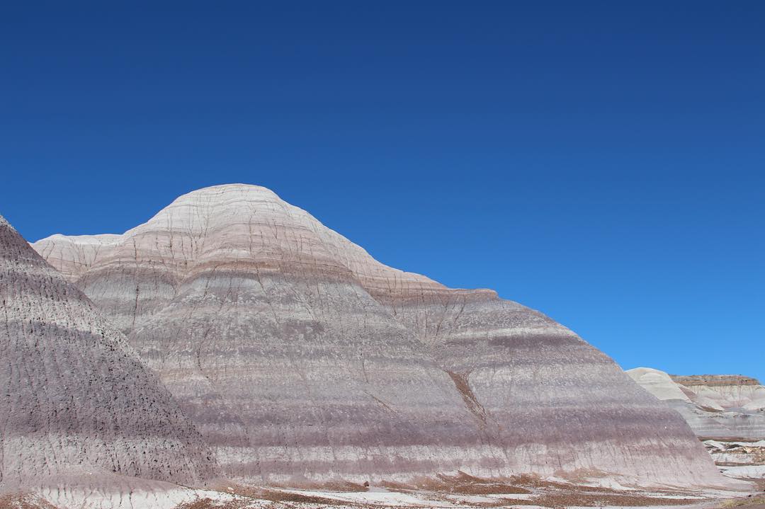
Petrified Forest National Park, Arizona
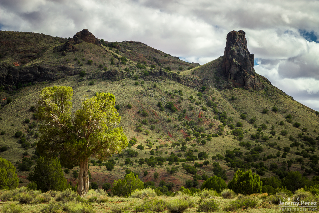
Butte at Indian Wells
Painted Desert #adventureisoutthere #exploreeverything #hiking #hikingadventures #adventure #adventureawaits #todsl #hiking #desert #arizona #arizonahiking #explorearizona #arizonaroadtrip #nofilterneeded #painteddesert #blue

Mesaby Dog Spring, Indian Wells, AZ

Smoke in the Hollow
Morning moonrise

Twin Cones

Ape Mountain

Driving back to Phoenix

US Airways Coach Meal

Indian Wells, AZ

Indian Wells, AZ

Indian Wells, AZ

Indian Wells, AZ

Indian Wells, AZ

Indian Wells, AZ

Indian Wells, AZ

Indian Wells, AZ
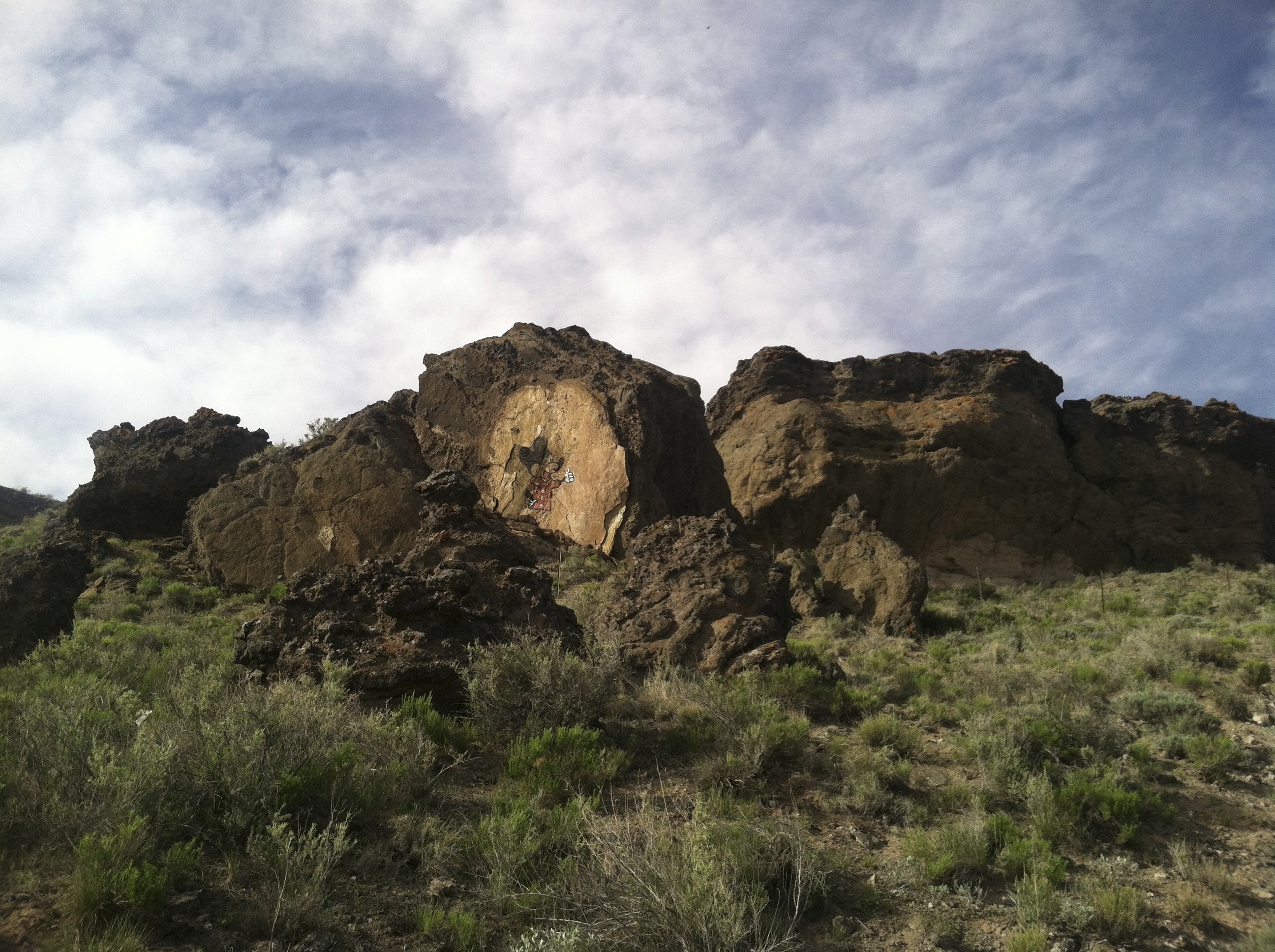
Mickey Mouse Canyon

Indian Wells
Mapa de Na Ah Tee, AZ, EE. UU.
Buscar otro lugar
lugares en Na Ah Tee, AZ, EE. UU.
Lugares cercanos
Desierto Pintado, Arizona, EE. UU.
Condado de Navajo, Arizona, EE. UU.
Indian Wells, Arizona, EE. UU.
Polacca, First Mesa, AZ, EE. UU.
Hopi Health Care Center, Highway Mile Post, Polacca, AZ, EE. UU.
Polacca Post Office, Polacca, AZ, EE. UU.
Cornfield's Road, Cornfield's Rd, Ganado, AZ, EE. UU.
Mishongnovi, Second Mesa, AZ, EE. UU.
Mishongnovi Community Center, PO Box, Second Mesa, AZ, EE. UU.
Sunlight Community Church, Second Mesa, Arizona, EE. UU.
Second Mesa, Arizona, EE. UU.
United States Postal Service, AZ-, Second Mesa, AZ, EE. UU.
Main St, Kykotsmovi, AZ, EE. UU.
Kykotsmovi, Kykotsmovi Village, AZ, EE. UU.
Kykotsmovi Village, Arizona, EE. UU.
Leupp, Arizona, EE. UU.
Coal Mine Canyon, Arizona, EE. UU.
Elephants Feet Rest Area, Tonalea, AZ, EE. UU.
Tonalea, Arizona, EE. UU.
Búsquedas recientes
- Horas de salida y puesta de sol de Red Dog Mine, AK, USA
- Horas de salida y puesta de sol de Am Bahnhof, Am bhf, Borken, Germany
- Horas de salida y puesta de sol de 4th St E, Sonoma, CA, EE. UU.
- Horas de salida y puesta de sol de Oakland Ave, Williamsport, PA, EE. UU.
- Horas de salida y puesta de sol de Via Roma, Pieranica CR, Italia
- Horas de salida y puesta de sol de Torre del reloj, Grad, Dubrovnik (Ragusa), Croacia
- Horas de salida y puesta de sol de Trelew, Chubut, Argentina
- Horas de salida y puesta de sol de Hartfords Bluff Cir, Mt Pleasant, SC, EE. UU.
- Horas de salida y puesta de sol de Kita Ward, Kumamoto, Japón
- Horas de salida y puesta de sol de Pingtan Island, Pingtan County, Fuzhou, China