Horas de salida y puesta de sol de N Bridge St, Chillicothe, OH, EE. UU.
Location: Estados Unidos > Ohio > Condado de Pike > Municipio de Pee Pee > Waverly City >
Zona horaria:
America/New_York
Hora local:
2025-07-04 21:06:16
Longitud:
-82.979454
Latitud:
39.11246
Salida de sol de hoy:
06:12:07 AM
Puesta de sol de hoy:
09:01:11 PM
La duración del día hoy:
14h 49m 4s
Salida de sol de mañana:
06:12:43 AM
Puesta de sol de mañana:
09:00:55 PM
La duración del día mañana:
14h 48m 12s
Mostrar todas las fechas
| Fecha | Salida de sol | Puesta de sol | Duración del día |
|---|---|---|---|
| 01/01/2025 | 07:51:11 AM | 05:20:53 PM | 9h 29m 42s |
| 02/01/2025 | 07:51:15 AM | 05:21:44 PM | 9h 30m 29s |
| 03/01/2025 | 07:51:17 AM | 05:22:37 PM | 9h 31m 20s |
| 04/01/2025 | 07:51:17 AM | 05:23:30 PM | 9h 32m 13s |
| 05/01/2025 | 07:51:15 AM | 05:24:25 PM | 9h 33m 10s |
| 06/01/2025 | 07:51:10 AM | 05:25:21 PM | 9h 34m 11s |
| 07/01/2025 | 07:51:04 AM | 05:26:19 PM | 9h 35m 15s |
| 08/01/2025 | 07:50:55 AM | 05:27:17 PM | 9h 36m 22s |
| 09/01/2025 | 07:50:44 AM | 05:28:17 PM | 9h 37m 33s |
| 10/01/2025 | 07:50:31 AM | 05:29:17 PM | 9h 38m 46s |
| 11/01/2025 | 07:50:16 AM | 05:30:19 PM | 9h 40m 3s |
| 12/01/2025 | 07:49:59 AM | 05:31:21 PM | 9h 41m 22s |
| 13/01/2025 | 07:49:39 AM | 05:32:24 PM | 9h 42m 45s |
| 14/01/2025 | 07:49:18 AM | 05:33:28 PM | 9h 44m 10s |
| 15/01/2025 | 07:48:54 AM | 05:34:33 PM | 9h 45m 39s |
| 16/01/2025 | 07:48:29 AM | 05:35:38 PM | 9h 47m 9s |
| 17/01/2025 | 07:48:01 AM | 05:36:44 PM | 9h 48m 43s |
| 18/01/2025 | 07:47:31 AM | 05:37:51 PM | 9h 50m 20s |
| 19/01/2025 | 07:46:59 AM | 05:38:58 PM | 9h 51m 59s |
| 20/01/2025 | 07:46:26 AM | 05:40:05 PM | 9h 53m 39s |
| 21/01/2025 | 07:45:50 AM | 05:41:13 PM | 9h 55m 23s |
| 22/01/2025 | 07:45:12 AM | 05:42:22 PM | 9h 57m 10s |
| 23/01/2025 | 07:44:33 AM | 05:43:30 PM | 9h 58m 57s |
| 24/01/2025 | 07:43:51 AM | 05:44:39 PM | 10h 0m 48s |
| 25/01/2025 | 07:43:08 AM | 05:45:49 PM | 10h 2m 41s |
| 26/01/2025 | 07:42:23 AM | 05:46:58 PM | 10h 4m 35s |
| 27/01/2025 | 07:41:36 AM | 05:48:08 PM | 10h 6m 32s |
| 28/01/2025 | 07:40:47 AM | 05:49:18 PM | 10h 8m 31s |
| 29/01/2025 | 07:39:57 AM | 05:50:28 PM | 10h 10m 31s |
| 30/01/2025 | 07:39:05 AM | 05:51:38 PM | 10h 12m 33s |
| 31/01/2025 | 07:38:11 AM | 05:52:48 PM | 10h 14m 37s |
| 01/02/2025 | 07:37:15 AM | 05:53:58 PM | 10h 16m 43s |
| 02/02/2025 | 07:36:18 AM | 05:55:08 PM | 10h 18m 50s |
| 03/02/2025 | 07:35:19 AM | 05:56:18 PM | 10h 20m 59s |
| 04/02/2025 | 07:34:19 AM | 05:57:28 PM | 10h 23m 9s |
| 05/02/2025 | 07:33:18 AM | 05:58:38 PM | 10h 25m 20s |
| 06/02/2025 | 07:32:14 AM | 05:59:48 PM | 10h 27m 34s |
| 07/02/2025 | 07:31:10 AM | 06:00:58 PM | 10h 29m 48s |
| 08/02/2025 | 07:30:04 AM | 06:02:07 PM | 10h 32m 3s |
| 09/02/2025 | 07:28:56 AM | 06:03:16 PM | 10h 34m 20s |
| 10/02/2025 | 07:27:47 AM | 06:04:25 PM | 10h 36m 38s |
| 11/02/2025 | 07:26:37 AM | 06:05:34 PM | 10h 38m 57s |
| 12/02/2025 | 07:25:26 AM | 06:06:43 PM | 10h 41m 17s |
| 13/02/2025 | 07:24:13 AM | 06:07:51 PM | 10h 43m 38s |
| 14/02/2025 | 07:22:59 AM | 06:08:59 PM | 10h 46m 0s |
| 15/02/2025 | 07:21:45 AM | 06:10:07 PM | 10h 48m 22s |
| 16/02/2025 | 07:20:28 AM | 06:11:15 PM | 10h 50m 47s |
| 17/02/2025 | 07:19:11 AM | 06:12:22 PM | 10h 53m 11s |
| 18/02/2025 | 07:17:53 AM | 06:13:29 PM | 10h 55m 36s |
| 19/02/2025 | 07:16:34 AM | 06:14:36 PM | 10h 58m 2s |
| 20/02/2025 | 07:15:13 AM | 06:15:42 PM | 11h 0m 29s |
| 21/02/2025 | 07:13:52 AM | 06:16:49 PM | 11h 2m 57s |
| 22/02/2025 | 07:12:30 AM | 06:17:54 PM | 11h 5m 24s |
| 23/02/2025 | 07:11:07 AM | 06:19:00 PM | 11h 7m 53s |
| 24/02/2025 | 07:09:43 AM | 06:20:05 PM | 11h 10m 22s |
| 25/02/2025 | 07:08:18 AM | 06:21:10 PM | 11h 12m 52s |
| 26/02/2025 | 07:06:53 AM | 06:22:14 PM | 11h 15m 21s |
| 27/02/2025 | 07:05:26 AM | 06:23:19 PM | 11h 17m 53s |
| 28/02/2025 | 07:03:59 AM | 06:24:23 PM | 11h 20m 24s |
| 01/03/2025 | 07:02:31 AM | 06:25:26 PM | 11h 22m 55s |
| 02/03/2025 | 07:01:03 AM | 06:26:30 PM | 11h 25m 27s |
| 03/03/2025 | 06:59:34 AM | 06:27:33 PM | 11h 27m 59s |
| 04/03/2025 | 06:58:04 AM | 06:28:35 PM | 11h 30m 31s |
| 05/03/2025 | 06:56:34 AM | 06:29:38 PM | 11h 33m 4s |
| 06/03/2025 | 06:55:03 AM | 06:30:40 PM | 11h 35m 37s |
| 07/03/2025 | 06:53:32 AM | 06:31:42 PM | 11h 38m 10s |
| 08/03/2025 | 06:52:00 AM | 06:32:44 PM | 11h 40m 44s |
| 09/03/2025 | 07:50:32 AM | 07:33:43 PM | 11h 43m 11s |
| 10/03/2025 | 07:49:00 AM | 07:34:44 PM | 11h 45m 44s |
| 11/03/2025 | 07:47:27 AM | 07:35:45 PM | 11h 48m 18s |
| 12/03/2025 | 07:45:53 AM | 07:36:46 PM | 11h 50m 53s |
| 13/03/2025 | 07:44:20 AM | 07:37:46 PM | 11h 53m 26s |
| 14/03/2025 | 07:42:46 AM | 07:38:46 PM | 11h 56m 0s |
| 15/03/2025 | 07:41:12 AM | 07:39:47 PM | 11h 58m 35s |
| 16/03/2025 | 07:39:38 AM | 07:40:47 PM | 12h 1m 9s |
| 17/03/2025 | 07:38:03 AM | 07:41:46 PM | 12h 3m 43s |
| 18/03/2025 | 07:36:28 AM | 07:42:46 PM | 12h 6m 18s |
| 19/03/2025 | 07:34:54 AM | 07:43:45 PM | 12h 8m 51s |
| 20/03/2025 | 07:33:19 AM | 07:44:45 PM | 12h 11m 26s |
| 21/03/2025 | 07:31:44 AM | 07:45:44 PM | 12h 14m 0s |
| 22/03/2025 | 07:30:09 AM | 07:46:43 PM | 12h 16m 34s |
| 23/03/2025 | 07:28:34 AM | 07:47:42 PM | 12h 19m 8s |
| 24/03/2025 | 07:26:59 AM | 07:48:41 PM | 12h 21m 42s |
| 25/03/2025 | 07:25:24 AM | 07:49:39 PM | 12h 24m 15s |
| 26/03/2025 | 07:23:49 AM | 07:50:38 PM | 12h 26m 49s |
| 27/03/2025 | 07:22:14 AM | 07:51:36 PM | 12h 29m 22s |
| 28/03/2025 | 07:20:40 AM | 07:52:35 PM | 12h 31m 55s |
| 29/03/2025 | 07:19:05 AM | 07:53:33 PM | 12h 34m 28s |
| 30/03/2025 | 07:17:31 AM | 07:54:32 PM | 12h 37m 1s |
| 31/03/2025 | 07:15:57 AM | 07:55:30 PM | 12h 39m 33s |
| 01/04/2025 | 07:14:23 AM | 07:56:28 PM | 12h 42m 5s |
| 02/04/2025 | 07:12:50 AM | 07:57:27 PM | 12h 44m 37s |
| 03/04/2025 | 07:11:17 AM | 07:58:25 PM | 12h 47m 8s |
| 04/04/2025 | 07:09:44 AM | 07:59:23 PM | 12h 49m 39s |
| 05/04/2025 | 07:08:11 AM | 08:00:22 PM | 12h 52m 11s |
| 06/04/2025 | 07:06:40 AM | 08:01:20 PM | 12h 54m 40s |
| 07/04/2025 | 07:05:08 AM | 08:02:18 PM | 12h 57m 10s |
| 08/04/2025 | 07:03:37 AM | 08:03:17 PM | 12h 59m 40s |
| 09/04/2025 | 07:02:06 AM | 08:04:15 PM | 13h 2m 9s |
| 10/04/2025 | 07:00:36 AM | 08:05:13 PM | 13h 4m 37s |
| 11/04/2025 | 06:59:07 AM | 08:06:12 PM | 13h 7m 5s |
| 12/04/2025 | 06:57:38 AM | 08:07:10 PM | 13h 9m 32s |
| 13/04/2025 | 06:56:10 AM | 08:08:09 PM | 13h 11m 59s |
| 14/04/2025 | 06:54:42 AM | 08:09:07 PM | 13h 14m 25s |
| 15/04/2025 | 06:53:15 AM | 08:10:06 PM | 13h 16m 51s |
| 16/04/2025 | 06:51:49 AM | 08:11:04 PM | 13h 19m 15s |
| 17/04/2025 | 06:50:24 AM | 08:12:03 PM | 13h 21m 39s |
| 18/04/2025 | 06:48:59 AM | 08:13:01 PM | 13h 24m 2s |
| 19/04/2025 | 06:47:35 AM | 08:14:00 PM | 13h 26m 25s |
| 20/04/2025 | 06:46:12 AM | 08:14:59 PM | 13h 28m 47s |
| 21/04/2025 | 06:44:50 AM | 08:15:57 PM | 13h 31m 7s |
| 22/04/2025 | 06:43:29 AM | 08:16:56 PM | 13h 33m 27s |
| 23/04/2025 | 06:42:09 AM | 08:17:55 PM | 13h 35m 46s |
| 24/04/2025 | 06:40:49 AM | 08:18:53 PM | 13h 38m 4s |
| 25/04/2025 | 06:39:31 AM | 08:19:52 PM | 13h 40m 21s |
| 26/04/2025 | 06:38:14 AM | 08:20:50 PM | 13h 42m 36s |
| 27/04/2025 | 06:36:57 AM | 08:21:49 PM | 13h 44m 52s |
| 28/04/2025 | 06:35:42 AM | 08:22:47 PM | 13h 47m 5s |
| 29/04/2025 | 06:34:28 AM | 08:23:46 PM | 13h 49m 18s |
| 30/04/2025 | 06:33:15 AM | 08:24:44 PM | 13h 51m 29s |
| 01/05/2025 | 06:32:04 AM | 08:25:43 PM | 13h 53m 39s |
| 02/05/2025 | 06:30:53 AM | 08:26:41 PM | 13h 55m 48s |
| 03/05/2025 | 06:29:44 AM | 08:27:39 PM | 13h 57m 55s |
| 04/05/2025 | 06:28:36 AM | 08:28:36 PM | 14h 0m 0s |
| 05/05/2025 | 06:27:29 AM | 08:29:34 PM | 14h 2m 5s |
| 06/05/2025 | 06:26:24 AM | 08:30:32 PM | 14h 4m 8s |
| 07/05/2025 | 06:25:20 AM | 08:31:29 PM | 14h 6m 9s |
| 08/05/2025 | 06:24:17 AM | 08:32:26 PM | 14h 8m 9s |
| 09/05/2025 | 06:23:16 AM | 08:33:23 PM | 14h 10m 7s |
| 10/05/2025 | 06:22:16 AM | 08:34:19 PM | 14h 12m 3s |
| 11/05/2025 | 06:21:18 AM | 08:35:15 PM | 14h 13m 57s |
| 12/05/2025 | 06:20:21 AM | 08:36:11 PM | 14h 15m 50s |
| 13/05/2025 | 06:19:26 AM | 08:37:06 PM | 14h 17m 40s |
| 14/05/2025 | 06:18:32 AM | 08:38:01 PM | 14h 19m 29s |
| 15/05/2025 | 06:17:40 AM | 08:38:56 PM | 14h 21m 16s |
| 16/05/2025 | 06:16:50 AM | 08:39:50 PM | 14h 23m 0s |
| 17/05/2025 | 06:16:01 AM | 08:40:43 PM | 14h 24m 42s |
| 18/05/2025 | 06:15:13 AM | 08:41:36 PM | 14h 26m 23s |
| 19/05/2025 | 06:14:28 AM | 08:42:28 PM | 14h 28m 0s |
| 20/05/2025 | 06:13:44 AM | 08:43:20 PM | 14h 29m 36s |
| 21/05/2025 | 06:13:02 AM | 08:44:11 PM | 14h 31m 9s |
| 22/05/2025 | 06:12:21 AM | 08:45:02 PM | 14h 32m 41s |
| 23/05/2025 | 06:11:42 AM | 08:45:51 PM | 14h 34m 9s |
| 24/05/2025 | 06:11:06 AM | 08:46:40 PM | 14h 35m 34s |
| 25/05/2025 | 06:10:30 AM | 08:47:28 PM | 14h 36m 58s |
| 26/05/2025 | 06:09:57 AM | 08:48:16 PM | 14h 38m 19s |
| 27/05/2025 | 06:09:26 AM | 08:49:02 PM | 14h 39m 36s |
| 28/05/2025 | 06:08:56 AM | 08:49:47 PM | 14h 40m 51s |
| 29/05/2025 | 06:08:28 AM | 08:50:32 PM | 14h 42m 4s |
| 30/05/2025 | 06:08:02 AM | 08:51:15 PM | 14h 43m 13s |
| 31/05/2025 | 06:07:38 AM | 08:51:58 PM | 14h 44m 20s |
| 01/06/2025 | 06:07:16 AM | 08:52:39 PM | 14h 45m 23s |
| 02/06/2025 | 06:06:55 AM | 08:53:19 PM | 14h 46m 24s |
| 03/06/2025 | 06:06:37 AM | 08:53:58 PM | 14h 47m 21s |
| 04/06/2025 | 06:06:20 AM | 08:54:36 PM | 14h 48m 16s |
| 05/06/2025 | 06:06:05 AM | 08:55:12 PM | 14h 49m 7s |
| 06/06/2025 | 06:05:52 AM | 08:55:48 PM | 14h 49m 56s |
| 07/06/2025 | 06:05:42 AM | 08:56:21 PM | 14h 50m 39s |
| 08/06/2025 | 06:05:32 AM | 08:56:54 PM | 14h 51m 22s |
| 09/06/2025 | 06:05:25 AM | 08:57:25 PM | 14h 52m 0s |
| 10/06/2025 | 06:05:20 AM | 08:57:55 PM | 14h 52m 35s |
| 11/06/2025 | 06:05:16 AM | 08:58:23 PM | 14h 53m 7s |
| 12/06/2025 | 06:05:15 AM | 08:58:50 PM | 14h 53m 35s |
| 13/06/2025 | 06:05:15 AM | 08:59:15 PM | 14h 54m 0s |
| 14/06/2025 | 06:05:17 AM | 08:59:38 PM | 14h 54m 21s |
| 15/06/2025 | 06:05:21 AM | 09:00:00 PM | 14h 54m 39s |
| 16/06/2025 | 06:05:27 AM | 09:00:21 PM | 14h 54m 54s |
| 17/06/2025 | 06:05:34 AM | 09:00:39 PM | 14h 55m 5s |
| 18/06/2025 | 06:05:44 AM | 09:00:56 PM | 14h 55m 12s |
| 19/06/2025 | 06:05:55 AM | 09:01:11 PM | 14h 55m 16s |
| 20/06/2025 | 06:06:07 AM | 09:01:25 PM | 14h 55m 18s |
| 21/06/2025 | 06:06:22 AM | 09:01:36 PM | 14h 55m 14s |
| 22/06/2025 | 06:06:38 AM | 09:01:46 PM | 14h 55m 8s |
| 23/06/2025 | 06:06:56 AM | 09:01:54 PM | 14h 54m 58s |
| 24/06/2025 | 06:07:15 AM | 09:02:00 PM | 14h 54m 45s |
| 25/06/2025 | 06:07:36 AM | 09:02:05 PM | 14h 54m 29s |
| 26/06/2025 | 06:07:58 AM | 09:02:07 PM | 14h 54m 9s |
| 27/06/2025 | 06:08:22 AM | 09:02:08 PM | 14h 53m 46s |
| 28/06/2025 | 06:08:48 AM | 09:02:06 PM | 14h 53m 18s |
| 29/06/2025 | 06:09:15 AM | 09:02:03 PM | 14h 52m 48s |
| 30/06/2025 | 06:09:43 AM | 09:01:58 PM | 14h 52m 15s |
| 01/07/2025 | 06:10:13 AM | 09:01:51 PM | 14h 51m 38s |
| 02/07/2025 | 06:10:44 AM | 09:01:42 PM | 14h 50m 58s |
| 03/07/2025 | 06:11:16 AM | 09:01:31 PM | 14h 50m 15s |
| 04/07/2025 | 06:11:50 AM | 09:01:18 PM | 14h 49m 28s |
| 05/07/2025 | 06:12:25 AM | 09:01:04 PM | 14h 48m 39s |
| 06/07/2025 | 06:13:01 AM | 09:00:47 PM | 14h 47m 46s |
| 07/07/2025 | 06:13:38 AM | 09:00:28 PM | 14h 46m 50s |
| 08/07/2025 | 06:14:17 AM | 09:00:08 PM | 14h 45m 51s |
| 09/07/2025 | 06:14:56 AM | 08:59:45 PM | 14h 44m 49s |
| 10/07/2025 | 06:15:37 AM | 08:59:21 PM | 14h 43m 44s |
| 11/07/2025 | 06:16:18 AM | 08:58:55 PM | 14h 42m 37s |
| 12/07/2025 | 06:17:01 AM | 08:58:26 PM | 14h 41m 25s |
| 13/07/2025 | 06:17:44 AM | 08:57:56 PM | 14h 40m 12s |
| 14/07/2025 | 06:18:28 AM | 08:57:25 PM | 14h 38m 57s |
| 15/07/2025 | 06:19:13 AM | 08:56:51 PM | 14h 37m 38s |
| 16/07/2025 | 06:19:59 AM | 08:56:15 PM | 14h 36m 16s |
| 17/07/2025 | 06:20:46 AM | 08:55:38 PM | 14h 34m 52s |
| 18/07/2025 | 06:21:33 AM | 08:54:59 PM | 14h 33m 26s |
| 19/07/2025 | 06:22:21 AM | 08:54:18 PM | 14h 31m 57s |
| 20/07/2025 | 06:23:10 AM | 08:53:35 PM | 14h 30m 25s |
| 21/07/2025 | 06:23:59 AM | 08:52:50 PM | 14h 28m 51s |
| 22/07/2025 | 06:24:49 AM | 08:52:04 PM | 14h 27m 15s |
| 23/07/2025 | 06:25:39 AM | 08:51:16 PM | 14h 25m 37s |
| 24/07/2025 | 06:26:30 AM | 08:50:27 PM | 14h 23m 57s |
| 25/07/2025 | 06:27:21 AM | 08:49:35 PM | 14h 22m 14s |
| 26/07/2025 | 06:28:13 AM | 08:48:43 PM | 14h 20m 30s |
| 27/07/2025 | 06:29:05 AM | 08:47:48 PM | 14h 18m 43s |
| 28/07/2025 | 06:29:57 AM | 08:46:52 PM | 14h 16m 55s |
| 29/07/2025 | 06:30:50 AM | 08:45:55 PM | 14h 15m 5s |
| 30/07/2025 | 06:31:43 AM | 08:44:55 PM | 14h 13m 12s |
| 31/07/2025 | 06:32:37 AM | 08:43:55 PM | 14h 11m 18s |
| 01/08/2025 | 06:33:30 AM | 08:42:53 PM | 14h 9m 23s |
| 02/08/2025 | 06:34:24 AM | 08:41:49 PM | 14h 7m 25s |
| 03/08/2025 | 06:35:18 AM | 08:40:44 PM | 14h 5m 26s |
| 04/08/2025 | 06:36:12 AM | 08:39:38 PM | 14h 3m 26s |
| 05/08/2025 | 06:37:07 AM | 08:38:30 PM | 14h 1m 23s |
| 06/08/2025 | 06:38:01 AM | 08:37:21 PM | 13h 59m 20s |
| 07/08/2025 | 06:38:56 AM | 08:36:11 PM | 13h 57m 15s |
| 08/08/2025 | 06:39:50 AM | 08:35:00 PM | 13h 55m 10s |
| 09/08/2025 | 06:40:45 AM | 08:33:47 PM | 13h 53m 2s |
| 10/08/2025 | 06:41:40 AM | 08:32:33 PM | 13h 50m 53s |
| 11/08/2025 | 06:42:35 AM | 08:31:18 PM | 13h 48m 43s |
| 12/08/2025 | 06:43:30 AM | 08:30:02 PM | 13h 46m 32s |
| 13/08/2025 | 06:44:25 AM | 08:28:44 PM | 13h 44m 19s |
| 14/08/2025 | 06:45:20 AM | 08:27:26 PM | 13h 42m 6s |
| 15/08/2025 | 06:46:15 AM | 08:26:06 PM | 13h 39m 51s |
| 16/08/2025 | 06:47:10 AM | 08:24:46 PM | 13h 37m 36s |
| 17/08/2025 | 06:48:05 AM | 08:23:24 PM | 13h 35m 19s |
| 18/08/2025 | 06:48:59 AM | 08:22:02 PM | 13h 33m 3s |
| 19/08/2025 | 06:49:54 AM | 08:20:38 PM | 13h 30m 44s |
| 20/08/2025 | 06:50:49 AM | 08:19:14 PM | 13h 28m 25s |
| 21/08/2025 | 06:51:44 AM | 08:17:49 PM | 13h 26m 5s |
| 22/08/2025 | 06:52:38 AM | 08:16:23 PM | 13h 23m 45s |
| 23/08/2025 | 06:53:33 AM | 08:14:56 PM | 13h 21m 23s |
| 24/08/2025 | 06:54:28 AM | 08:13:29 PM | 13h 19m 1s |
| 25/08/2025 | 06:55:22 AM | 08:12:00 PM | 13h 16m 38s |
| 26/08/2025 | 06:56:16 AM | 08:10:31 PM | 13h 14m 15s |
| 27/08/2025 | 06:57:11 AM | 08:09:02 PM | 13h 11m 51s |
| 28/08/2025 | 06:58:05 AM | 08:07:31 PM | 13h 9m 26s |
| 29/08/2025 | 06:58:59 AM | 08:06:00 PM | 13h 7m 1s |
| 30/08/2025 | 06:59:54 AM | 08:04:29 PM | 13h 4m 35s |
| 31/08/2025 | 07:00:48 AM | 08:02:57 PM | 13h 2m 9s |
| 01/09/2025 | 07:01:42 AM | 08:01:24 PM | 12h 59m 42s |
| 02/09/2025 | 07:02:36 AM | 07:59:51 PM | 12h 57m 15s |
| 03/09/2025 | 07:03:30 AM | 07:58:17 PM | 12h 54m 47s |
| 04/09/2025 | 07:04:24 AM | 07:56:43 PM | 12h 52m 19s |
| 05/09/2025 | 07:05:18 AM | 07:55:09 PM | 12h 49m 51s |
| 06/09/2025 | 07:06:12 AM | 07:53:34 PM | 12h 47m 22s |
| 07/09/2025 | 07:07:06 AM | 07:51:58 PM | 12h 44m 52s |
| 08/09/2025 | 07:07:59 AM | 07:50:23 PM | 12h 42m 24s |
| 09/09/2025 | 07:08:53 AM | 07:48:47 PM | 12h 39m 54s |
| 10/09/2025 | 07:09:47 AM | 07:47:11 PM | 12h 37m 24s |
| 11/09/2025 | 07:10:41 AM | 07:45:35 PM | 12h 34m 54s |
| 12/09/2025 | 07:11:35 AM | 07:43:58 PM | 12h 32m 23s |
| 13/09/2025 | 07:12:29 AM | 07:42:21 PM | 12h 29m 52s |
| 14/09/2025 | 07:13:23 AM | 07:40:44 PM | 12h 27m 21s |
| 15/09/2025 | 07:14:17 AM | 07:39:07 PM | 12h 24m 50s |
| 16/09/2025 | 07:15:11 AM | 07:37:30 PM | 12h 22m 19s |
| 17/09/2025 | 07:16:06 AM | 07:35:53 PM | 12h 19m 47s |
| 18/09/2025 | 07:17:00 AM | 07:34:16 PM | 12h 17m 16s |
| 19/09/2025 | 07:17:55 AM | 07:32:39 PM | 12h 14m 44s |
| 20/09/2025 | 07:18:49 AM | 07:31:02 PM | 12h 12m 13s |
| 21/09/2025 | 07:19:44 AM | 07:29:25 PM | 12h 9m 41s |
| 22/09/2025 | 07:20:39 AM | 07:27:48 PM | 12h 7m 9s |
| 23/09/2025 | 07:21:34 AM | 07:26:11 PM | 12h 4m 37s |
| 24/09/2025 | 07:22:29 AM | 07:24:34 PM | 12h 2m 5s |
| 25/09/2025 | 07:23:24 AM | 07:22:57 PM | 11h 59m 33s |
| 26/09/2025 | 07:24:20 AM | 07:21:21 PM | 11h 57m 1s |
| 27/09/2025 | 07:25:15 AM | 07:19:45 PM | 11h 54m 30s |
| 28/09/2025 | 07:26:11 AM | 07:18:09 PM | 11h 51m 58s |
| 29/09/2025 | 07:27:07 AM | 07:16:33 PM | 11h 49m 26s |
| 30/09/2025 | 07:28:04 AM | 07:14:58 PM | 11h 46m 54s |
| 01/10/2025 | 07:29:00 AM | 07:13:23 PM | 11h 44m 23s |
| 02/10/2025 | 07:29:57 AM | 07:11:49 PM | 11h 41m 52s |
| 03/10/2025 | 07:30:54 AM | 07:10:15 PM | 11h 39m 21s |
| 04/10/2025 | 07:31:52 AM | 07:08:41 PM | 11h 36m 49s |
| 05/10/2025 | 07:32:49 AM | 07:07:08 PM | 11h 34m 19s |
| 06/10/2025 | 07:33:47 AM | 07:05:35 PM | 11h 31m 48s |
| 07/10/2025 | 07:34:45 AM | 07:04:03 PM | 11h 29m 18s |
| 08/10/2025 | 07:35:44 AM | 07:02:32 PM | 11h 26m 48s |
| 09/10/2025 | 07:36:43 AM | 07:01:01 PM | 11h 24m 18s |
| 10/10/2025 | 07:37:42 AM | 06:59:30 PM | 11h 21m 48s |
| 11/10/2025 | 07:38:41 AM | 06:58:01 PM | 11h 19m 20s |
| 12/10/2025 | 07:39:41 AM | 06:56:32 PM | 11h 16m 51s |
| 13/10/2025 | 07:40:41 AM | 06:55:04 PM | 11h 14m 23s |
| 14/10/2025 | 07:41:42 AM | 06:53:36 PM | 11h 11m 54s |
| 15/10/2025 | 07:42:42 AM | 06:52:10 PM | 11h 9m 28s |
| 16/10/2025 | 07:43:43 AM | 06:50:44 PM | 11h 7m 1s |
| 17/10/2025 | 07:44:45 AM | 06:49:19 PM | 11h 4m 34s |
| 18/10/2025 | 07:45:47 AM | 06:47:55 PM | 11h 2m 8s |
| 19/10/2025 | 07:46:49 AM | 06:46:32 PM | 10h 59m 43s |
| 20/10/2025 | 07:47:51 AM | 06:45:10 PM | 10h 57m 19s |
| 21/10/2025 | 07:48:54 AM | 06:43:49 PM | 10h 54m 55s |
| 22/10/2025 | 07:49:57 AM | 06:42:29 PM | 10h 52m 32s |
| 23/10/2025 | 07:51:00 AM | 06:41:10 PM | 10h 50m 10s |
| 24/10/2025 | 07:52:04 AM | 06:39:52 PM | 10h 47m 48s |
| 25/10/2025 | 07:53:08 AM | 06:38:35 PM | 10h 45m 27s |
| 26/10/2025 | 07:54:12 AM | 06:37:19 PM | 10h 43m 7s |
| 27/10/2025 | 07:55:17 AM | 06:36:05 PM | 10h 40m 48s |
| 28/10/2025 | 07:56:22 AM | 06:34:52 PM | 10h 38m 30s |
| 29/10/2025 | 07:57:27 AM | 06:33:40 PM | 10h 36m 13s |
| 30/10/2025 | 07:58:33 AM | 06:32:29 PM | 10h 33m 56s |
| 31/10/2025 | 07:59:38 AM | 06:31:20 PM | 10h 31m 42s |
| 01/11/2025 | 08:00:44 AM | 06:30:12 PM | 10h 29m 28s |
| 02/11/2025 | 07:01:53 AM | 05:29:03 PM | 10h 27m 10s |
| 03/11/2025 | 07:02:59 AM | 05:27:58 PM | 10h 24m 59s |
| 04/11/2025 | 07:04:06 AM | 05:26:55 PM | 10h 22m 49s |
| 05/11/2025 | 07:05:12 AM | 05:25:53 PM | 10h 20m 41s |
| 06/11/2025 | 07:06:19 AM | 05:24:52 PM | 10h 18m 33s |
| 07/11/2025 | 07:07:26 AM | 05:23:54 PM | 10h 16m 28s |
| 08/11/2025 | 07:08:33 AM | 05:22:56 PM | 10h 14m 23s |
| 09/11/2025 | 07:09:40 AM | 05:22:01 PM | 10h 12m 21s |
| 10/11/2025 | 07:10:47 AM | 05:21:07 PM | 10h 10m 20s |
| 11/11/2025 | 07:11:54 AM | 05:20:15 PM | 10h 8m 21s |
| 12/11/2025 | 07:13:01 AM | 05:19:25 PM | 10h 6m 24s |
| 13/11/2025 | 07:14:08 AM | 05:18:36 PM | 10h 4m 28s |
| 14/11/2025 | 07:15:14 AM | 05:17:49 PM | 10h 2m 35s |
| 15/11/2025 | 07:16:21 AM | 05:17:04 PM | 10h 0m 43s |
| 16/11/2025 | 07:17:27 AM | 05:16:21 PM | 9h 58m 54s |
| 17/11/2025 | 07:18:33 AM | 05:15:40 PM | 9h 57m 7s |
| 18/11/2025 | 07:19:39 AM | 05:15:01 PM | 9h 55m 22s |
| 19/11/2025 | 07:20:45 AM | 05:14:23 PM | 9h 53m 38s |
| 20/11/2025 | 07:21:50 AM | 05:13:48 PM | 9h 51m 58s |
| 21/11/2025 | 07:22:55 AM | 05:13:15 PM | 9h 50m 20s |
| 22/11/2025 | 07:23:59 AM | 05:12:43 PM | 9h 48m 44s |
| 23/11/2025 | 07:25:03 AM | 05:12:14 PM | 9h 47m 11s |
| 24/11/2025 | 07:26:06 AM | 05:11:47 PM | 9h 45m 41s |
| 25/11/2025 | 07:27:09 AM | 05:11:22 PM | 9h 44m 13s |
| 26/11/2025 | 07:28:11 AM | 05:10:59 PM | 9h 42m 48s |
| 27/11/2025 | 07:29:12 AM | 05:10:38 PM | 9h 41m 26s |
| 28/11/2025 | 07:30:13 AM | 05:10:19 PM | 9h 40m 6s |
| 29/11/2025 | 07:31:12 AM | 05:10:03 PM | 9h 38m 51s |
| 30/11/2025 | 07:32:11 AM | 05:09:48 PM | 9h 37m 37s |
| 01/12/2025 | 07:33:09 AM | 05:09:36 PM | 9h 36m 27s |
| 02/12/2025 | 07:34:06 AM | 05:09:26 PM | 9h 35m 20s |
| 03/12/2025 | 07:35:02 AM | 05:09:18 PM | 9h 34m 16s |
| 04/12/2025 | 07:35:57 AM | 05:09:13 PM | 9h 33m 16s |
| 05/12/2025 | 07:36:51 AM | 05:09:09 PM | 9h 32m 18s |
| 06/12/2025 | 07:37:44 AM | 05:09:08 PM | 9h 31m 24s |
| 07/12/2025 | 07:38:35 AM | 05:09:09 PM | 9h 30m 34s |
| 08/12/2025 | 07:39:26 AM | 05:09:12 PM | 9h 29m 46s |
| 09/12/2025 | 07:40:15 AM | 05:09:18 PM | 9h 29m 3s |
| 10/12/2025 | 07:41:02 AM | 05:09:25 PM | 9h 28m 23s |
| 11/12/2025 | 07:41:48 AM | 05:09:35 PM | 9h 27m 47s |
| 12/12/2025 | 07:42:33 AM | 05:09:47 PM | 9h 27m 14s |
| 13/12/2025 | 07:43:16 AM | 05:10:01 PM | 9h 26m 45s |
| 14/12/2025 | 07:43:57 AM | 05:10:17 PM | 9h 26m 20s |
| 15/12/2025 | 07:44:37 AM | 05:10:35 PM | 9h 25m 58s |
| 16/12/2025 | 07:45:15 AM | 05:10:56 PM | 9h 25m 41s |
| 17/12/2025 | 07:45:52 AM | 05:11:18 PM | 9h 25m 26s |
| 18/12/2025 | 07:46:26 AM | 05:11:43 PM | 9h 25m 17s |
| 19/12/2025 | 07:46:59 AM | 05:12:09 PM | 9h 25m 10s |
| 20/12/2025 | 07:47:30 AM | 05:12:38 PM | 9h 25m 8s |
| 21/12/2025 | 07:48:00 AM | 05:13:08 PM | 9h 25m 8s |
| 22/12/2025 | 07:48:27 AM | 05:13:41 PM | 9h 25m 14s |
| 23/12/2025 | 07:48:52 AM | 05:14:15 PM | 9h 25m 23s |
| 24/12/2025 | 07:49:16 AM | 05:14:51 PM | 9h 25m 35s |
| 25/12/2025 | 07:49:37 AM | 05:15:29 PM | 9h 25m 52s |
| 26/12/2025 | 07:49:56 AM | 05:16:08 PM | 9h 26m 12s |
| 27/12/2025 | 07:50:14 AM | 05:16:50 PM | 9h 26m 36s |
| 28/12/2025 | 07:50:29 AM | 05:17:33 PM | 9h 27m 4s |
| 29/12/2025 | 07:50:42 AM | 05:18:18 PM | 9h 27m 36s |
| 30/12/2025 | 07:50:54 AM | 05:19:04 PM | 9h 28m 10s |
| 31/12/2025 | 07:51:03 AM | 05:19:52 PM | 9h 28m 49s |
Fotos

Norfolk Southern 862 in Higby, Ohio
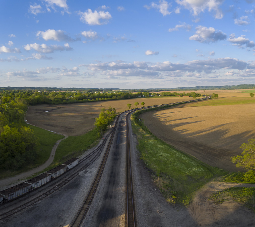
Q634 - MP 34
fresh from paint 2

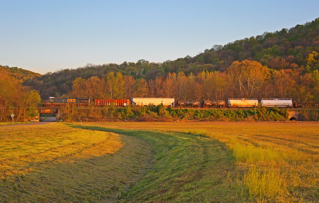
Scioto Valley Morning

Scioto Valley Sunrise
View from Chenoweth Fork Valley
Scioto Trail State Forest
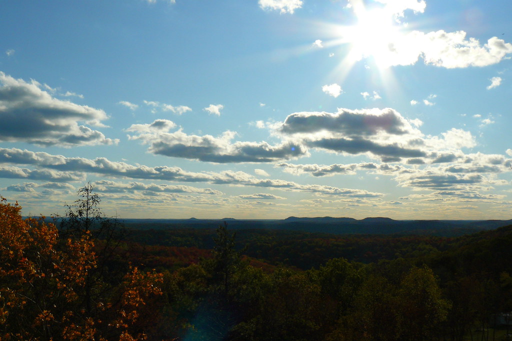
The View West

The View North

Farmland — Franklin Township, Ross County, Ohio
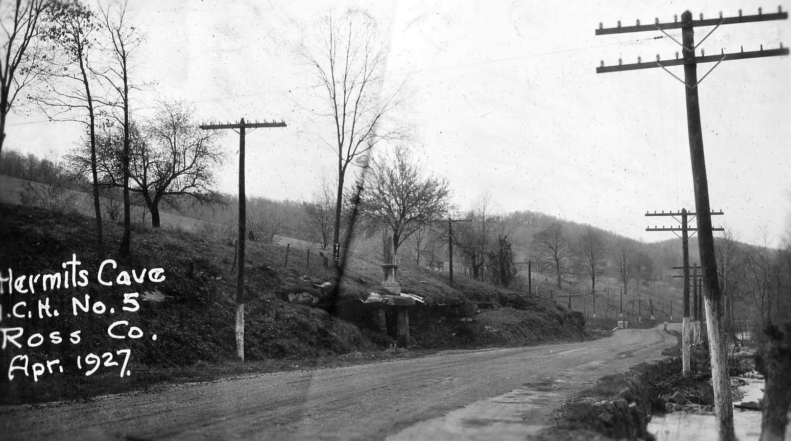
"Hermit's Cave" — Franklin Township, Ross County, Ohio
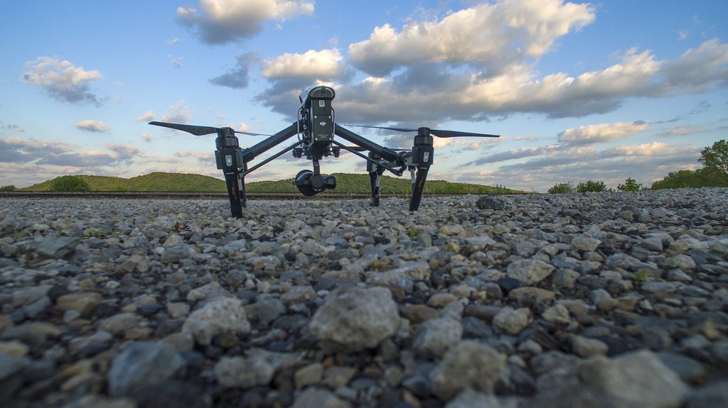
Drone Takes Drone

Dove Outreach

All That Remains Of The Emmitt House

Hey look, a RadioShack!

Pike County Fair
For Spacious Skies

Did some prom photos today #nov2874 #sprphotog #chillicothe #ohio #prom

Did some prom photos today #nov2874 #sprphotog #chillicothe #ohio #prom
Beautiful sky on state Route 32, the Appalacian Highway in southern Ohio.
We are 90 miles into our trip home, smooth driving so far just a bit Of rain.

Pike County Sheriff's Office, Patrol Unit 02, Clandestine Methamphetamine Laboratory Crime Scene Unit

Former Kentucky Fried Chicken
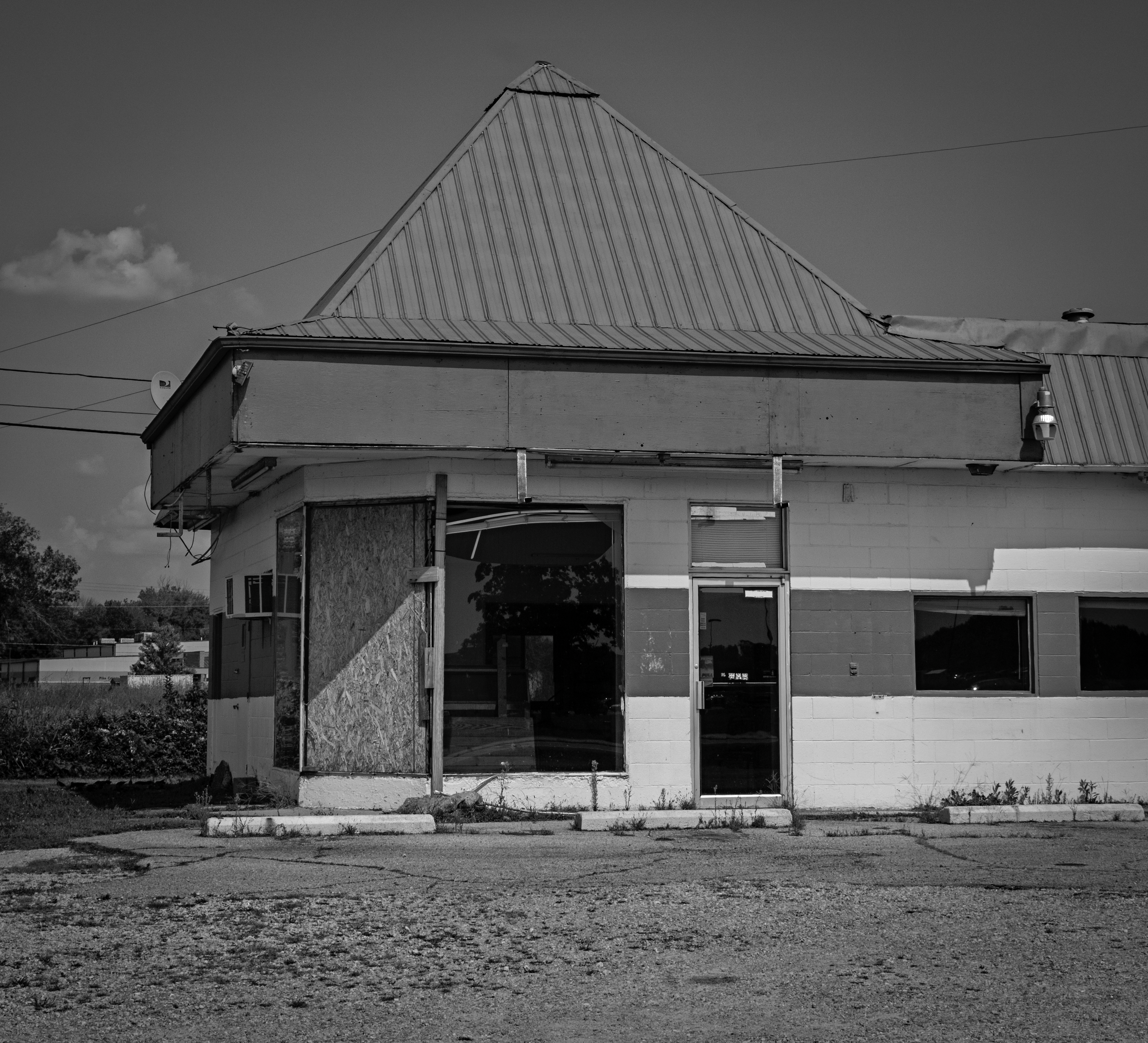
DecayFC...
Southern Ohio Hills

City of Waverly Police Department, Unmarked Patrol Unit

Pike County Sheriff's Office, Patrol Unit 01

Elm Grove Volunteer Fire Department Station 2, Engine 502 & Tanker 511
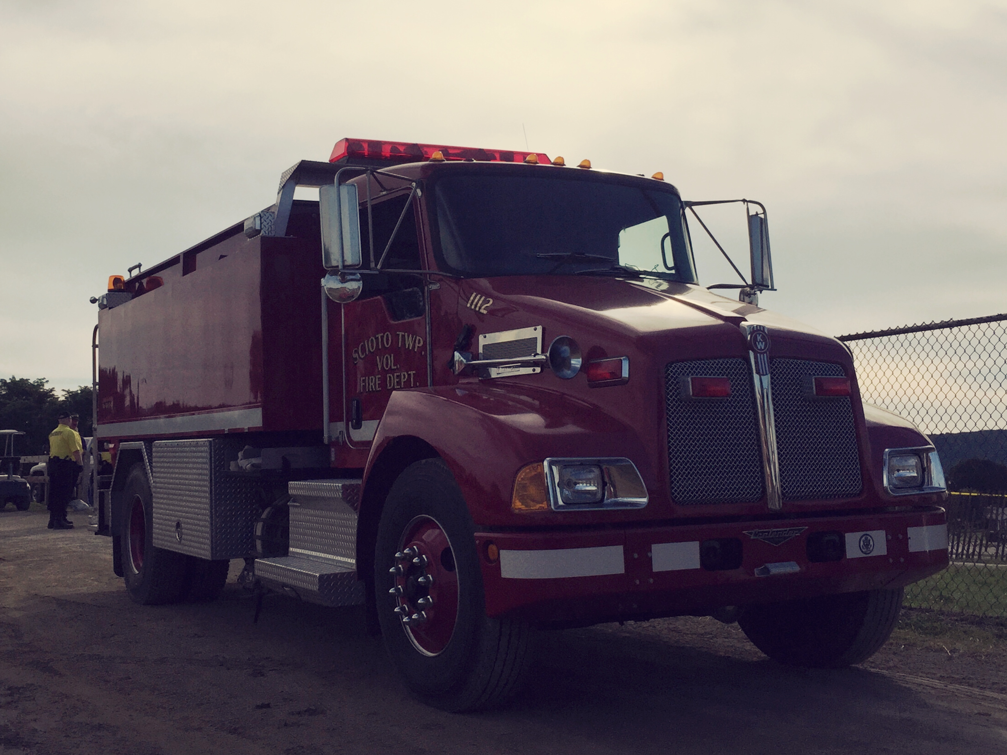
Scioto Township Volunteer Fire Department, Tanker 1112
Mapa de N Bridge St, Chillicothe, OH, EE. UU.
Buscar otro lugar
Lugares cercanos
Victory Drive, Victory Dr, Waverly, OH, EE. UU.
East 7th Street, E 7th St, Waverly, OH, EE. UU.
Waverly City, Ohio, EE. UU.
East 2nd Street, E 2nd St, Waverly, OH, EE. UU.
Adena Pike Medical Center, Dawn Ln, Waverly, OH, EE. UU.
Stafford Drive, Stafford Dr, Waverly, OH, EE. UU.
Municipio de Pee Pee, Ohio, EE. UU.
Moore St, Piketon, OH, EE. UU.
Skyline Dr, Waverly, OH, EE. UU.
Municipio de Seal, Ohio, EE. UU.
Big Beaver Creek Golf Club, Zahns Corner Rd, Piketon, OH, EE. UU.
Pike Water Inc., Boswell Run Rd, Piketon, OH, EE. UU.
Piketon, Ohio, EE. UU.
The Ohio State University South Centers, Shyville Rd, Piketon, OH, EE. UU.
Condado de Pike, Ohio, EE. UU.
Municipio de Pebble, Ohio, EE. UU.
Municipio de Newton, Ohio, EE. UU.
OH-, Waverly, OH, EE. UU.
Morgans Fork Rd, Peebles, OH, EE. UU.
Municipio de Benton, Ohio, EE. UU.
Búsquedas recientes
- Horas de salida y puesta de sol de Red Dog Mine, AK, USA
- Horas de salida y puesta de sol de Am Bahnhof, Am bhf, Borken, Germany
- Horas de salida y puesta de sol de 4th St E, Sonoma, CA, EE. UU.
- Horas de salida y puesta de sol de Oakland Ave, Williamsport, PA, EE. UU.
- Horas de salida y puesta de sol de Via Roma, Pieranica CR, Italia
- Horas de salida y puesta de sol de Torre del reloj, Grad, Dubrovnik (Ragusa), Croacia
- Horas de salida y puesta de sol de Trelew, Chubut, Argentina
- Horas de salida y puesta de sol de Hartfords Bluff Cir, Mt Pleasant, SC, EE. UU.
- Horas de salida y puesta de sol de Kita Ward, Kumamoto, Japón
- Horas de salida y puesta de sol de Pingtan Island, Pingtan County, Fuzhou, China