Horas de salida y puesta de sol de Mount Queen Elizabeth, Improvement District No. 9, AB T0L, Canadá
Location: Canadá > Alberta > División Número 15 > Improvement District No. 9 >
Zona horaria:
America/Edmonton
Hora local:
2025-06-12 22:47:32
Longitud:
-115.405
Latitud:
50.7133333
Salida de sol de hoy:
05:28:10 AM
Puesta de sol de hoy:
09:55:34 PM
La duración del día hoy:
16h 27m 24s
Salida de sol de mañana:
05:28:04 AM
Puesta de sol de mañana:
09:56:06 PM
La duración del día mañana:
16h 28m 2s
Mostrar todas las fechas
| Fecha | Salida de sol | Puesta de sol | Duración del día |
|---|---|---|---|
| 01/01/2025 | 08:43:04 AM | 04:48:34 PM | 8h 5m 30s |
| 02/01/2025 | 08:42:53 AM | 04:49:40 PM | 8h 6m 47s |
| 03/01/2025 | 08:42:38 AM | 04:50:49 PM | 8h 8m 11s |
| 04/01/2025 | 08:42:21 AM | 04:52:00 PM | 8h 9m 39s |
| 05/01/2025 | 08:42:00 AM | 04:53:14 PM | 8h 11m 14s |
| 06/01/2025 | 08:41:36 AM | 04:54:29 PM | 8h 12m 53s |
| 07/01/2025 | 08:41:09 AM | 04:55:47 PM | 8h 14m 38s |
| 08/01/2025 | 08:40:39 AM | 04:57:07 PM | 8h 16m 28s |
| 09/01/2025 | 08:40:05 AM | 04:58:28 PM | 8h 18m 23s |
| 10/01/2025 | 08:39:29 AM | 04:59:52 PM | 8h 20m 23s |
| 11/01/2025 | 08:38:50 AM | 05:01:17 PM | 8h 22m 27s |
| 12/01/2025 | 08:38:08 AM | 05:02:44 PM | 8h 24m 36s |
| 13/01/2025 | 08:37:22 AM | 05:04:13 PM | 8h 26m 51s |
| 14/01/2025 | 08:36:34 AM | 05:05:43 PM | 8h 29m 9s |
| 15/01/2025 | 08:35:43 AM | 05:07:15 PM | 8h 31m 32s |
| 16/01/2025 | 08:34:50 AM | 05:08:48 PM | 8h 33m 58s |
| 17/01/2025 | 08:33:53 AM | 05:10:22 PM | 8h 36m 29s |
| 18/01/2025 | 08:32:54 AM | 05:11:58 PM | 8h 39m 4s |
| 19/01/2025 | 08:31:53 AM | 05:13:35 PM | 8h 41m 42s |
| 20/01/2025 | 08:30:48 AM | 05:15:12 PM | 8h 44m 24s |
| 21/01/2025 | 08:29:42 AM | 05:16:51 PM | 8h 47m 9s |
| 22/01/2025 | 08:28:32 AM | 05:18:31 PM | 8h 49m 59s |
| 23/01/2025 | 08:27:21 AM | 05:20:12 PM | 8h 52m 51s |
| 24/01/2025 | 08:26:07 AM | 05:21:53 PM | 8h 55m 46s |
| 25/01/2025 | 08:24:50 AM | 05:23:35 PM | 8h 58m 45s |
| 26/01/2025 | 08:23:32 AM | 05:25:18 PM | 9h 1m 46s |
| 27/01/2025 | 08:22:11 AM | 05:27:01 PM | 9h 4m 50s |
| 28/01/2025 | 08:20:48 AM | 05:28:45 PM | 9h 7m 57s |
| 29/01/2025 | 08:19:23 AM | 05:30:29 PM | 9h 11m 6s |
| 30/01/2025 | 08:17:55 AM | 05:32:14 PM | 9h 14m 19s |
| 31/01/2025 | 08:16:26 AM | 05:33:59 PM | 9h 17m 33s |
| 01/02/2025 | 08:14:55 AM | 05:35:45 PM | 9h 20m 50s |
| 02/02/2025 | 08:13:22 AM | 05:37:31 PM | 9h 24m 9s |
| 03/02/2025 | 08:11:47 AM | 05:39:17 PM | 9h 27m 30s |
| 04/02/2025 | 08:10:10 AM | 05:41:03 PM | 9h 30m 53s |
| 05/02/2025 | 08:08:32 AM | 05:42:49 PM | 9h 34m 17s |
| 06/02/2025 | 08:06:52 AM | 05:44:35 PM | 9h 37m 43s |
| 07/02/2025 | 08:05:10 AM | 05:46:22 PM | 9h 41m 12s |
| 08/02/2025 | 08:03:27 AM | 05:48:08 PM | 9h 44m 41s |
| 09/02/2025 | 08:01:42 AM | 05:49:55 PM | 9h 48m 13s |
| 10/02/2025 | 07:59:56 AM | 05:51:41 PM | 9h 51m 45s |
| 11/02/2025 | 07:58:08 AM | 05:53:28 PM | 9h 55m 20s |
| 12/02/2025 | 07:56:19 AM | 05:55:14 PM | 9h 58m 55s |
| 13/02/2025 | 07:54:28 AM | 05:57:00 PM | 10h 2m 32s |
| 14/02/2025 | 07:52:36 AM | 05:58:46 PM | 10h 6m 10s |
| 15/02/2025 | 07:50:43 AM | 06:00:32 PM | 10h 9m 49s |
| 16/02/2025 | 07:48:48 AM | 06:02:18 PM | 10h 13m 30s |
| 17/02/2025 | 07:46:53 AM | 06:04:03 PM | 10h 17m 10s |
| 18/02/2025 | 07:44:56 AM | 06:05:48 PM | 10h 20m 52s |
| 19/02/2025 | 07:42:58 AM | 06:07:33 PM | 10h 24m 35s |
| 20/02/2025 | 07:40:59 AM | 06:09:18 PM | 10h 28m 19s |
| 21/02/2025 | 07:38:59 AM | 06:11:03 PM | 10h 32m 4s |
| 22/02/2025 | 07:36:59 AM | 06:12:47 PM | 10h 35m 48s |
| 23/02/2025 | 07:34:57 AM | 06:14:31 PM | 10h 39m 34s |
| 24/02/2025 | 07:32:54 AM | 06:16:15 PM | 10h 43m 21s |
| 25/02/2025 | 07:30:50 AM | 06:17:58 PM | 10h 47m 8s |
| 26/02/2025 | 07:28:46 AM | 06:19:41 PM | 10h 50m 55s |
| 27/02/2025 | 07:26:41 AM | 06:21:24 PM | 10h 54m 43s |
| 28/02/2025 | 07:24:35 AM | 06:23:07 PM | 10h 58m 32s |
| 01/03/2025 | 07:22:28 AM | 06:24:49 PM | 11h 2m 21s |
| 02/03/2025 | 07:20:21 AM | 06:26:31 PM | 11h 6m 10s |
| 03/03/2025 | 07:18:13 AM | 06:28:13 PM | 11h 10m 0s |
| 04/03/2025 | 07:16:05 AM | 06:29:55 PM | 11h 13m 50s |
| 05/03/2025 | 07:13:55 AM | 06:31:36 PM | 11h 17m 41s |
| 06/03/2025 | 07:11:46 AM | 06:33:17 PM | 11h 21m 31s |
| 07/03/2025 | 07:09:36 AM | 06:34:58 PM | 11h 25m 22s |
| 08/03/2025 | 07:07:25 AM | 06:36:38 PM | 11h 29m 13s |
| 09/03/2025 | 08:05:19 AM | 07:38:14 PM | 11h 32m 55s |
| 10/03/2025 | 08:03:08 AM | 07:39:54 PM | 11h 36m 46s |
| 11/03/2025 | 08:00:56 AM | 07:41:34 PM | 11h 40m 38s |
| 12/03/2025 | 07:58:44 AM | 07:43:14 PM | 11h 44m 30s |
| 13/03/2025 | 07:56:31 AM | 07:44:53 PM | 11h 48m 22s |
| 14/03/2025 | 07:54:19 AM | 07:46:32 PM | 11h 52m 13s |
| 15/03/2025 | 07:52:06 AM | 07:48:11 PM | 11h 56m 5s |
| 16/03/2025 | 07:49:53 AM | 07:49:50 PM | 11h 59m 57s |
| 17/03/2025 | 07:47:39 AM | 07:51:28 PM | 12h 3m 49s |
| 18/03/2025 | 07:45:26 AM | 07:53:07 PM | 12h 7m 41s |
| 19/03/2025 | 07:43:12 AM | 07:54:45 PM | 12h 11m 33s |
| 20/03/2025 | 07:40:58 AM | 07:56:23 PM | 12h 15m 25s |
| 21/03/2025 | 07:38:44 AM | 07:58:01 PM | 12h 19m 17s |
| 22/03/2025 | 07:36:31 AM | 07:59:39 PM | 12h 23m 8s |
| 23/03/2025 | 07:34:17 AM | 08:01:17 PM | 12h 27m 0s |
| 24/03/2025 | 07:32:03 AM | 08:02:54 PM | 12h 30m 51s |
| 25/03/2025 | 07:29:49 AM | 08:04:32 PM | 12h 34m 43s |
| 26/03/2025 | 07:27:36 AM | 08:06:09 PM | 12h 38m 33s |
| 27/03/2025 | 07:25:22 AM | 08:07:47 PM | 12h 42m 25s |
| 28/03/2025 | 07:23:09 AM | 08:09:24 PM | 12h 46m 15s |
| 29/03/2025 | 07:20:56 AM | 08:11:01 PM | 12h 50m 5s |
| 30/03/2025 | 07:18:43 AM | 08:12:38 PM | 12h 53m 55s |
| 31/03/2025 | 07:16:30 AM | 08:14:15 PM | 12h 57m 45s |
| 01/04/2025 | 07:14:17 AM | 08:15:52 PM | 13h 1m 35s |
| 02/04/2025 | 07:12:05 AM | 08:17:29 PM | 13h 5m 24s |
| 03/04/2025 | 07:09:54 AM | 08:19:06 PM | 13h 9m 12s |
| 04/04/2025 | 07:07:42 AM | 08:20:43 PM | 13h 13m 1s |
| 05/04/2025 | 07:05:31 AM | 08:22:20 PM | 13h 16m 49s |
| 06/04/2025 | 07:03:21 AM | 08:23:57 PM | 13h 20m 36s |
| 07/04/2025 | 07:01:11 AM | 08:25:34 PM | 13h 24m 23s |
| 08/04/2025 | 06:59:01 AM | 08:27:11 PM | 13h 28m 10s |
| 09/04/2025 | 06:56:52 AM | 08:28:48 PM | 13h 31m 56s |
| 10/04/2025 | 06:54:43 AM | 08:30:25 PM | 13h 35m 42s |
| 11/04/2025 | 06:52:36 AM | 08:32:02 PM | 13h 39m 26s |
| 12/04/2025 | 06:50:28 AM | 08:33:39 PM | 13h 43m 11s |
| 13/04/2025 | 06:48:22 AM | 08:35:16 PM | 13h 46m 54s |
| 14/04/2025 | 06:46:16 AM | 08:36:53 PM | 13h 50m 37s |
| 15/04/2025 | 06:44:11 AM | 08:38:29 PM | 13h 54m 18s |
| 16/04/2025 | 06:42:07 AM | 08:40:06 PM | 13h 57m 59s |
| 17/04/2025 | 06:40:03 AM | 08:41:43 PM | 14h 1m 40s |
| 18/04/2025 | 06:38:01 AM | 08:43:20 PM | 14h 5m 19s |
| 19/04/2025 | 06:35:59 AM | 08:44:56 PM | 14h 8m 57s |
| 20/04/2025 | 06:33:58 AM | 08:46:33 PM | 14h 12m 35s |
| 21/04/2025 | 06:31:58 AM | 08:48:10 PM | 14h 16m 12s |
| 22/04/2025 | 06:29:59 AM | 08:49:46 PM | 14h 19m 47s |
| 23/04/2025 | 06:28:01 AM | 08:51:22 PM | 14h 23m 21s |
| 24/04/2025 | 06:26:05 AM | 08:52:59 PM | 14h 26m 54s |
| 25/04/2025 | 06:24:09 AM | 08:54:35 PM | 14h 30m 26s |
| 26/04/2025 | 06:22:15 AM | 08:56:10 PM | 14h 33m 55s |
| 27/04/2025 | 06:20:22 AM | 08:57:46 PM | 14h 37m 24s |
| 28/04/2025 | 06:18:30 AM | 08:59:22 PM | 14h 40m 52s |
| 29/04/2025 | 06:16:39 AM | 09:00:57 PM | 14h 44m 18s |
| 30/04/2025 | 06:14:50 AM | 09:02:32 PM | 14h 47m 42s |
| 01/05/2025 | 06:13:02 AM | 09:04:07 PM | 14h 51m 5s |
| 02/05/2025 | 06:11:15 AM | 09:05:41 PM | 14h 54m 26s |
| 03/05/2025 | 06:09:30 AM | 09:07:15 PM | 14h 57m 45s |
| 04/05/2025 | 06:07:47 AM | 09:08:48 PM | 15h 1m 1s |
| 05/05/2025 | 06:06:05 AM | 09:10:22 PM | 15h 4m 17s |
| 06/05/2025 | 06:04:24 AM | 09:11:54 PM | 15h 7m 30s |
| 07/05/2025 | 06:02:45 AM | 09:13:26 PM | 15h 10m 41s |
| 08/05/2025 | 06:01:08 AM | 09:14:58 PM | 15h 13m 50s |
| 09/05/2025 | 05:59:33 AM | 09:16:29 PM | 15h 16m 56s |
| 10/05/2025 | 05:58:00 AM | 09:17:59 PM | 15h 19m 59s |
| 11/05/2025 | 05:56:28 AM | 09:19:29 PM | 15h 23m 1s |
| 12/05/2025 | 05:54:58 AM | 09:20:58 PM | 15h 26m 0s |
| 13/05/2025 | 05:53:30 AM | 09:22:26 PM | 15h 28m 56s |
| 14/05/2025 | 05:52:05 AM | 09:23:53 PM | 15h 31m 48s |
| 15/05/2025 | 05:50:41 AM | 09:25:20 PM | 15h 34m 39s |
| 16/05/2025 | 05:49:19 AM | 09:26:45 PM | 15h 37m 26s |
| 17/05/2025 | 05:47:59 AM | 09:28:10 PM | 15h 40m 11s |
| 18/05/2025 | 05:46:42 AM | 09:29:33 PM | 15h 42m 51s |
| 19/05/2025 | 05:45:27 AM | 09:30:55 PM | 15h 45m 28s |
| 20/05/2025 | 05:44:14 AM | 09:32:16 PM | 15h 48m 2s |
| 21/05/2025 | 05:43:03 AM | 09:33:36 PM | 15h 50m 33s |
| 22/05/2025 | 05:41:55 AM | 09:34:54 PM | 15h 52m 59s |
| 23/05/2025 | 05:40:49 AM | 09:36:11 PM | 15h 55m 22s |
| 24/05/2025 | 05:39:45 AM | 09:37:27 PM | 15h 57m 42s |
| 25/05/2025 | 05:38:44 AM | 09:38:41 PM | 15h 59m 57s |
| 26/05/2025 | 05:37:46 AM | 09:39:53 PM | 16h 2m 7s |
| 27/05/2025 | 05:36:50 AM | 09:41:04 PM | 16h 4m 14s |
| 28/05/2025 | 05:35:57 AM | 09:42:13 PM | 16h 6m 16s |
| 29/05/2025 | 05:35:06 AM | 09:43:21 PM | 16h 8m 15s |
| 30/05/2025 | 05:34:18 AM | 09:44:26 PM | 16h 10m 8s |
| 31/05/2025 | 05:33:33 AM | 09:45:30 PM | 16h 11m 57s |
| 01/06/2025 | 05:32:51 AM | 09:46:31 PM | 16h 13m 40s |
| 02/06/2025 | 05:32:11 AM | 09:47:31 PM | 16h 15m 20s |
| 03/06/2025 | 05:31:34 AM | 09:48:28 PM | 16h 16m 54s |
| 04/06/2025 | 05:31:00 AM | 09:49:23 PM | 16h 18m 23s |
| 05/06/2025 | 05:30:29 AM | 09:50:16 PM | 16h 19m 47s |
| 06/06/2025 | 05:30:01 AM | 09:51:07 PM | 16h 21m 6s |
| 07/06/2025 | 05:29:36 AM | 09:51:55 PM | 16h 22m 19s |
| 08/06/2025 | 05:29:14 AM | 09:52:41 PM | 16h 23m 27s |
| 09/06/2025 | 05:28:54 AM | 09:53:25 PM | 16h 24m 31s |
| 10/06/2025 | 05:28:38 AM | 09:54:06 PM | 16h 25m 28s |
| 11/06/2025 | 05:28:24 AM | 09:54:44 PM | 16h 26m 20s |
| 12/06/2025 | 05:28:14 AM | 09:55:20 PM | 16h 27m 6s |
| 13/06/2025 | 05:28:06 AM | 09:55:53 PM | 16h 27m 47s |
| 14/06/2025 | 05:28:01 AM | 09:56:23 PM | 16h 28m 22s |
| 15/06/2025 | 05:28:00 AM | 09:56:50 PM | 16h 28m 50s |
| 16/06/2025 | 05:28:01 AM | 09:57:15 PM | 16h 29m 14s |
| 17/06/2025 | 05:28:05 AM | 09:57:37 PM | 16h 29m 32s |
| 18/06/2025 | 05:28:13 AM | 09:57:56 PM | 16h 29m 43s |
| 19/06/2025 | 05:28:23 AM | 09:58:12 PM | 16h 29m 49s |
| 20/06/2025 | 05:28:36 AM | 09:58:25 PM | 16h 29m 49s |
| 21/06/2025 | 05:28:51 AM | 09:58:35 PM | 16h 29m 44s |
| 22/06/2025 | 05:29:10 AM | 09:58:43 PM | 16h 29m 33s |
| 23/06/2025 | 05:29:32 AM | 09:58:47 PM | 16h 29m 15s |
| 24/06/2025 | 05:29:56 AM | 09:58:48 PM | 16h 28m 52s |
| 25/06/2025 | 05:30:23 AM | 09:58:46 PM | 16h 28m 23s |
| 26/06/2025 | 05:30:53 AM | 09:58:41 PM | 16h 27m 48s |
| 27/06/2025 | 05:31:25 AM | 09:58:34 PM | 16h 27m 9s |
| 28/06/2025 | 05:32:00 AM | 09:58:23 PM | 16h 26m 23s |
| 29/06/2025 | 05:32:37 AM | 09:58:09 PM | 16h 25m 32s |
| 30/06/2025 | 05:33:17 AM | 09:57:52 PM | 16h 24m 35s |
| 01/07/2025 | 05:34:00 AM | 09:57:32 PM | 16h 23m 32s |
| 02/07/2025 | 05:34:45 AM | 09:57:10 PM | 16h 22m 25s |
| 03/07/2025 | 05:35:32 AM | 09:56:44 PM | 16h 21m 12s |
| 04/07/2025 | 05:36:21 AM | 09:56:15 PM | 16h 19m 54s |
| 05/07/2025 | 05:37:13 AM | 09:55:44 PM | 16h 18m 31s |
| 06/07/2025 | 05:38:07 AM | 09:55:09 PM | 16h 17m 2s |
| 07/07/2025 | 05:39:03 AM | 09:54:32 PM | 16h 15m 29s |
| 08/07/2025 | 05:40:01 AM | 09:53:51 PM | 16h 13m 50s |
| 09/07/2025 | 05:41:00 AM | 09:53:08 PM | 16h 12m 8s |
| 10/07/2025 | 05:42:02 AM | 09:52:22 PM | 16h 10m 20s |
| 11/07/2025 | 05:43:06 AM | 09:51:34 PM | 16h 8m 28s |
| 12/07/2025 | 05:44:11 AM | 09:50:43 PM | 16h 6m 32s |
| 13/07/2025 | 05:45:18 AM | 09:49:49 PM | 16h 4m 31s |
| 14/07/2025 | 05:46:27 AM | 09:48:52 PM | 16h 2m 25s |
| 15/07/2025 | 05:47:38 AM | 09:47:53 PM | 16h 0m 15s |
| 16/07/2025 | 05:48:49 AM | 09:46:51 PM | 15h 58m 2s |
| 17/07/2025 | 05:50:03 AM | 09:45:47 PM | 15h 55m 44s |
| 18/07/2025 | 05:51:17 AM | 09:44:40 PM | 15h 53m 23s |
| 19/07/2025 | 05:52:33 AM | 09:43:31 PM | 15h 50m 58s |
| 20/07/2025 | 05:53:50 AM | 09:42:19 PM | 15h 48m 29s |
| 21/07/2025 | 05:55:09 AM | 09:41:06 PM | 15h 45m 57s |
| 22/07/2025 | 05:56:28 AM | 09:39:50 PM | 15h 43m 22s |
| 23/07/2025 | 05:57:49 AM | 09:38:31 PM | 15h 40m 42s |
| 24/07/2025 | 05:59:10 AM | 09:37:11 PM | 15h 38m 1s |
| 25/07/2025 | 06:00:33 AM | 09:35:48 PM | 15h 35m 15s |
| 26/07/2025 | 06:01:56 AM | 09:34:23 PM | 15h 32m 27s |
| 27/07/2025 | 06:03:20 AM | 09:32:57 PM | 15h 29m 37s |
| 28/07/2025 | 06:04:45 AM | 09:31:28 PM | 15h 26m 43s |
| 29/07/2025 | 06:06:11 AM | 09:29:57 PM | 15h 23m 46s |
| 30/07/2025 | 06:07:37 AM | 09:28:25 PM | 15h 20m 48s |
| 31/07/2025 | 06:09:04 AM | 09:26:50 PM | 15h 17m 46s |
| 01/08/2025 | 06:10:32 AM | 09:25:14 PM | 15h 14m 42s |
| 02/08/2025 | 06:12:00 AM | 09:23:36 PM | 15h 11m 36s |
| 03/08/2025 | 06:13:28 AM | 09:21:56 PM | 15h 8m 28s |
| 04/08/2025 | 06:14:57 AM | 09:20:15 PM | 15h 5m 18s |
| 05/08/2025 | 06:16:27 AM | 09:18:32 PM | 15h 2m 5s |
| 06/08/2025 | 06:17:57 AM | 09:16:48 PM | 14h 58m 51s |
| 07/08/2025 | 06:19:27 AM | 09:15:02 PM | 14h 55m 35s |
| 08/08/2025 | 06:20:57 AM | 09:13:14 PM | 14h 52m 17s |
| 09/08/2025 | 06:22:28 AM | 09:11:25 PM | 14h 48m 57s |
| 10/08/2025 | 06:23:59 AM | 09:09:35 PM | 14h 45m 36s |
| 11/08/2025 | 06:25:30 AM | 09:07:43 PM | 14h 42m 13s |
| 12/08/2025 | 06:27:02 AM | 09:05:50 PM | 14h 38m 48s |
| 13/08/2025 | 06:28:33 AM | 09:03:56 PM | 14h 35m 23s |
| 14/08/2025 | 06:30:05 AM | 09:02:01 PM | 14h 31m 56s |
| 15/08/2025 | 06:31:37 AM | 09:00:04 PM | 14h 28m 27s |
| 16/08/2025 | 06:33:09 AM | 08:58:07 PM | 14h 24m 58s |
| 17/08/2025 | 06:34:41 AM | 08:56:08 PM | 14h 21m 27s |
| 18/08/2025 | 06:36:13 AM | 08:54:08 PM | 14h 17m 55s |
| 19/08/2025 | 06:37:45 AM | 08:52:07 PM | 14h 14m 22s |
| 20/08/2025 | 06:39:17 AM | 08:50:05 PM | 14h 10m 48s |
| 21/08/2025 | 06:40:49 AM | 08:48:02 PM | 14h 7m 13s |
| 22/08/2025 | 06:42:22 AM | 08:45:59 PM | 14h 3m 37s |
| 23/08/2025 | 06:43:54 AM | 08:43:54 PM | 14h 0m 0s |
| 24/08/2025 | 06:45:26 AM | 08:41:49 PM | 13h 56m 23s |
| 25/08/2025 | 06:46:58 AM | 08:39:42 PM | 13h 52m 44s |
| 26/08/2025 | 06:48:31 AM | 08:37:35 PM | 13h 49m 4s |
| 27/08/2025 | 06:50:03 AM | 08:35:28 PM | 13h 45m 25s |
| 28/08/2025 | 06:51:35 AM | 08:33:19 PM | 13h 41m 44s |
| 29/08/2025 | 06:53:07 AM | 08:31:10 PM | 13h 38m 3s |
| 30/08/2025 | 06:54:39 AM | 08:29:01 PM | 13h 34m 22s |
| 31/08/2025 | 06:56:11 AM | 08:26:51 PM | 13h 30m 40s |
| 01/09/2025 | 06:57:43 AM | 08:24:40 PM | 13h 26m 57s |
| 02/09/2025 | 06:59:15 AM | 08:22:29 PM | 13h 23m 14s |
| 03/09/2025 | 07:00:48 AM | 08:20:17 PM | 13h 19m 29s |
| 04/09/2025 | 07:02:20 AM | 08:18:04 PM | 13h 15m 44s |
| 05/09/2025 | 07:03:52 AM | 08:15:52 PM | 13h 12m 0s |
| 06/09/2025 | 07:05:24 AM | 08:13:39 PM | 13h 8m 15s |
| 07/09/2025 | 07:06:56 AM | 08:11:25 PM | 13h 4m 29s |
| 08/09/2025 | 07:08:28 AM | 08:09:12 PM | 13h 0m 44s |
| 09/09/2025 | 07:10:00 AM | 08:06:58 PM | 12h 56m 58s |
| 10/09/2025 | 07:11:32 AM | 08:04:43 PM | 12h 53m 11s |
| 11/09/2025 | 07:13:04 AM | 08:02:29 PM | 12h 49m 25s |
| 12/09/2025 | 07:14:36 AM | 08:00:14 PM | 12h 45m 38s |
| 13/09/2025 | 07:16:08 AM | 07:57:59 PM | 12h 41m 51s |
| 14/09/2025 | 07:17:41 AM | 07:55:44 PM | 12h 38m 3s |
| 15/09/2025 | 07:19:13 AM | 07:53:29 PM | 12h 34m 16s |
| 16/09/2025 | 07:20:45 AM | 07:51:13 PM | 12h 30m 28s |
| 17/09/2025 | 07:22:18 AM | 07:48:58 PM | 12h 26m 40s |
| 18/09/2025 | 07:23:50 AM | 07:46:42 PM | 12h 22m 52s |
| 19/09/2025 | 07:25:23 AM | 07:44:27 PM | 12h 19m 4s |
| 20/09/2025 | 07:26:56 AM | 07:42:12 PM | 12h 15m 16s |
| 21/09/2025 | 07:28:29 AM | 07:39:56 PM | 12h 11m 27s |
| 22/09/2025 | 07:30:02 AM | 07:37:41 PM | 12h 7m 39s |
| 23/09/2025 | 07:31:35 AM | 07:35:26 PM | 12h 3m 51s |
| 24/09/2025 | 07:33:09 AM | 07:33:11 PM | 12h 0m 2s |
| 25/09/2025 | 07:34:42 AM | 07:30:56 PM | 11h 56m 14s |
| 26/09/2025 | 07:36:16 AM | 07:28:42 PM | 11h 52m 26s |
| 27/09/2025 | 07:37:50 AM | 07:26:27 PM | 11h 48m 37s |
| 28/09/2025 | 07:39:24 AM | 07:24:13 PM | 11h 44m 49s |
| 29/09/2025 | 07:40:59 AM | 07:21:59 PM | 11h 41m 0s |
| 30/09/2025 | 07:42:34 AM | 07:19:46 PM | 11h 37m 12s |
| 01/10/2025 | 07:44:08 AM | 07:17:33 PM | 11h 33m 25s |
| 02/10/2025 | 07:45:44 AM | 07:15:20 PM | 11h 29m 36s |
| 03/10/2025 | 07:47:19 AM | 07:13:08 PM | 11h 25m 49s |
| 04/10/2025 | 07:48:55 AM | 07:10:56 PM | 11h 22m 1s |
| 05/10/2025 | 07:50:31 AM | 07:08:45 PM | 11h 18m 14s |
| 06/10/2025 | 07:52:07 AM | 07:06:34 PM | 11h 14m 27s |
| 07/10/2025 | 07:53:43 AM | 07:04:24 PM | 11h 10m 41s |
| 08/10/2025 | 07:55:20 AM | 07:02:14 PM | 11h 6m 54s |
| 09/10/2025 | 07:56:57 AM | 07:00:05 PM | 11h 3m 8s |
| 10/10/2025 | 07:58:35 AM | 06:57:57 PM | 10h 59m 22s |
| 11/10/2025 | 08:00:12 AM | 06:55:49 PM | 10h 55m 37s |
| 12/10/2025 | 08:01:50 AM | 06:53:42 PM | 10h 51m 52s |
| 13/10/2025 | 08:03:28 AM | 06:51:36 PM | 10h 48m 8s |
| 14/10/2025 | 08:05:07 AM | 06:49:31 PM | 10h 44m 24s |
| 15/10/2025 | 08:06:46 AM | 06:47:26 PM | 10h 40m 40s |
| 16/10/2025 | 08:08:25 AM | 06:45:22 PM | 10h 36m 57s |
| 17/10/2025 | 08:10:05 AM | 06:43:20 PM | 10h 33m 15s |
| 18/10/2025 | 08:11:44 AM | 06:41:18 PM | 10h 29m 34s |
| 19/10/2025 | 08:13:24 AM | 06:39:17 PM | 10h 25m 53s |
| 20/10/2025 | 08:15:05 AM | 06:37:17 PM | 10h 22m 12s |
| 21/10/2025 | 08:16:45 AM | 06:35:18 PM | 10h 18m 33s |
| 22/10/2025 | 08:18:26 AM | 06:33:21 PM | 10h 14m 55s |
| 23/10/2025 | 08:20:07 AM | 06:31:24 PM | 10h 11m 17s |
| 24/10/2025 | 08:21:49 AM | 06:29:29 PM | 10h 7m 40s |
| 25/10/2025 | 08:23:30 AM | 06:27:35 PM | 10h 4m 5s |
| 26/10/2025 | 08:25:12 AM | 06:25:42 PM | 10h 0m 30s |
| 27/10/2025 | 08:26:54 AM | 06:23:51 PM | 9h 56m 57s |
| 28/10/2025 | 08:28:36 AM | 06:22:01 PM | 9h 53m 25s |
| 29/10/2025 | 08:30:18 AM | 06:20:12 PM | 9h 49m 54s |
| 30/10/2025 | 08:32:01 AM | 06:18:25 PM | 9h 46m 24s |
| 31/10/2025 | 08:33:43 AM | 06:16:39 PM | 9h 42m 56s |
| 01/11/2025 | 08:35:25 AM | 06:14:55 PM | 9h 39m 30s |
| 02/11/2025 | 07:37:12 AM | 05:13:08 PM | 9h 35m 56s |
| 03/11/2025 | 07:38:55 AM | 05:11:27 PM | 9h 32m 32s |
| 04/11/2025 | 07:40:37 AM | 05:09:48 PM | 9h 29m 11s |
| 05/11/2025 | 07:42:19 AM | 05:08:11 PM | 9h 25m 52s |
| 06/11/2025 | 07:44:02 AM | 05:06:36 PM | 9h 22m 34s |
| 07/11/2025 | 07:45:44 AM | 05:05:02 PM | 9h 19m 18s |
| 08/11/2025 | 07:47:25 AM | 05:03:30 PM | 9h 16m 5s |
| 09/11/2025 | 07:49:07 AM | 05:02:00 PM | 9h 12m 53s |
| 10/11/2025 | 07:50:48 AM | 05:00:32 PM | 9h 9m 44s |
| 11/11/2025 | 07:52:29 AM | 04:59:07 PM | 9h 6m 38s |
| 12/11/2025 | 07:54:09 AM | 04:57:43 PM | 9h 3m 34s |
| 13/11/2025 | 07:55:49 AM | 04:56:22 PM | 9h 0m 33s |
| 14/11/2025 | 07:57:29 AM | 04:55:03 PM | 8h 57m 34s |
| 15/11/2025 | 07:59:08 AM | 04:53:46 PM | 8h 54m 38s |
| 16/11/2025 | 08:00:46 AM | 04:52:31 PM | 8h 51m 45s |
| 17/11/2025 | 08:02:23 AM | 04:51:19 PM | 8h 48m 56s |
| 18/11/2025 | 08:04:00 AM | 04:50:09 PM | 8h 46m 9s |
| 19/11/2025 | 08:05:36 AM | 04:49:02 PM | 8h 43m 26s |
| 20/11/2025 | 08:07:10 AM | 04:47:57 PM | 8h 40m 47s |
| 21/11/2025 | 08:08:44 AM | 04:46:55 PM | 8h 38m 11s |
| 22/11/2025 | 08:10:17 AM | 04:45:55 PM | 8h 35m 38s |
| 23/11/2025 | 08:11:49 AM | 04:44:59 PM | 8h 33m 10s |
| 24/11/2025 | 08:13:19 AM | 04:44:05 PM | 8h 30m 46s |
| 25/11/2025 | 08:14:48 AM | 04:43:13 PM | 8h 28m 25s |
| 26/11/2025 | 08:16:16 AM | 04:42:25 PM | 8h 26m 9s |
| 27/11/2025 | 08:17:42 AM | 04:41:40 PM | 8h 23m 58s |
| 28/11/2025 | 08:19:07 AM | 04:40:57 PM | 8h 21m 50s |
| 29/11/2025 | 08:20:30 AM | 04:40:18 PM | 8h 19m 48s |
| 30/11/2025 | 08:21:51 AM | 04:39:41 PM | 8h 17m 50s |
| 01/12/2025 | 08:23:10 AM | 04:39:08 PM | 8h 15m 58s |
| 02/12/2025 | 08:24:28 AM | 04:38:37 PM | 8h 14m 9s |
| 03/12/2025 | 08:25:44 AM | 04:38:10 PM | 8h 12m 26s |
| 04/12/2025 | 08:26:57 AM | 04:37:46 PM | 8h 10m 49s |
| 05/12/2025 | 08:28:09 AM | 04:37:25 PM | 8h 9m 16s |
| 06/12/2025 | 08:29:18 AM | 04:37:07 PM | 8h 7m 49s |
| 07/12/2025 | 08:30:25 AM | 04:36:53 PM | 8h 6m 28s |
| 08/12/2025 | 08:31:30 AM | 04:36:42 PM | 8h 5m 12s |
| 09/12/2025 | 08:32:32 AM | 04:36:34 PM | 8h 4m 2s |
| 10/12/2025 | 08:33:32 AM | 04:36:29 PM | 8h 2m 57s |
| 11/12/2025 | 08:34:29 AM | 04:36:28 PM | 8h 1m 59s |
| 12/12/2025 | 08:35:24 AM | 04:36:30 PM | 8h 1m 6s |
| 13/12/2025 | 08:36:16 AM | 04:36:35 PM | 8h 0m 19s |
| 14/12/2025 | 08:37:05 AM | 04:36:44 PM | 7h 59m 39s |
| 15/12/2025 | 08:37:51 AM | 04:36:56 PM | 7h 59m 5s |
| 16/12/2025 | 08:38:34 AM | 04:37:11 PM | 7h 58m 37s |
| 17/12/2025 | 08:39:15 AM | 04:37:30 PM | 7h 58m 15s |
| 18/12/2025 | 08:39:52 AM | 04:37:51 PM | 7h 57m 59s |
| 19/12/2025 | 08:40:27 AM | 04:38:16 PM | 7h 57m 49s |
| 20/12/2025 | 08:40:58 AM | 04:38:45 PM | 7h 57m 47s |
| 21/12/2025 | 08:41:26 AM | 04:39:16 PM | 7h 57m 50s |
| 22/12/2025 | 08:41:52 AM | 04:39:50 PM | 7h 57m 58s |
| 23/12/2025 | 08:42:14 AM | 04:40:28 PM | 7h 58m 14s |
| 24/12/2025 | 08:42:32 AM | 04:41:09 PM | 7h 58m 37s |
| 25/12/2025 | 08:42:48 AM | 04:41:53 PM | 7h 59m 5s |
| 26/12/2025 | 08:43:00 AM | 04:42:39 PM | 7h 59m 39s |
| 27/12/2025 | 08:43:09 AM | 04:43:29 PM | 8h 0m 20s |
| 28/12/2025 | 08:43:15 AM | 04:44:21 PM | 8h 1m 6s |
| 29/12/2025 | 08:43:18 AM | 04:45:16 PM | 8h 1m 58s |
| 30/12/2025 | 08:43:17 AM | 04:46:14 PM | 8h 2m 57s |
| 31/12/2025 | 08:43:13 AM | 04:47:15 PM | 8h 4m 2s |
Fotos

Lower Kananaskis Lake sunset
Spending some time in Kananaskis

Chester Lake Fall Colors
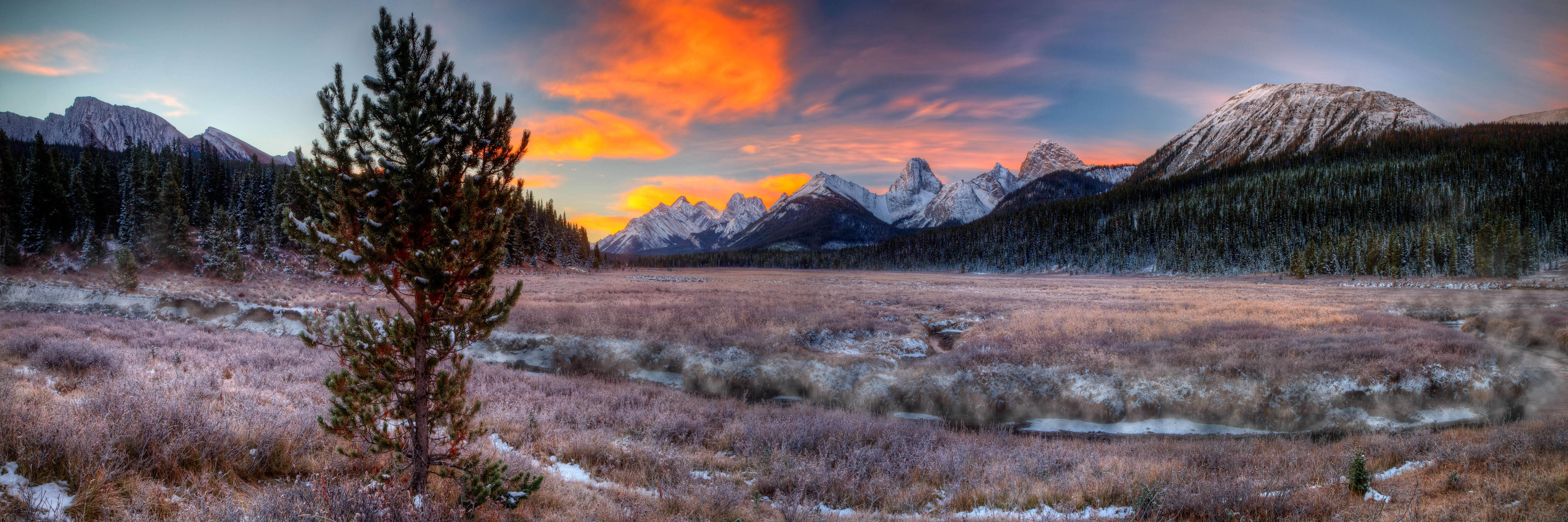
Fire in the Sky!

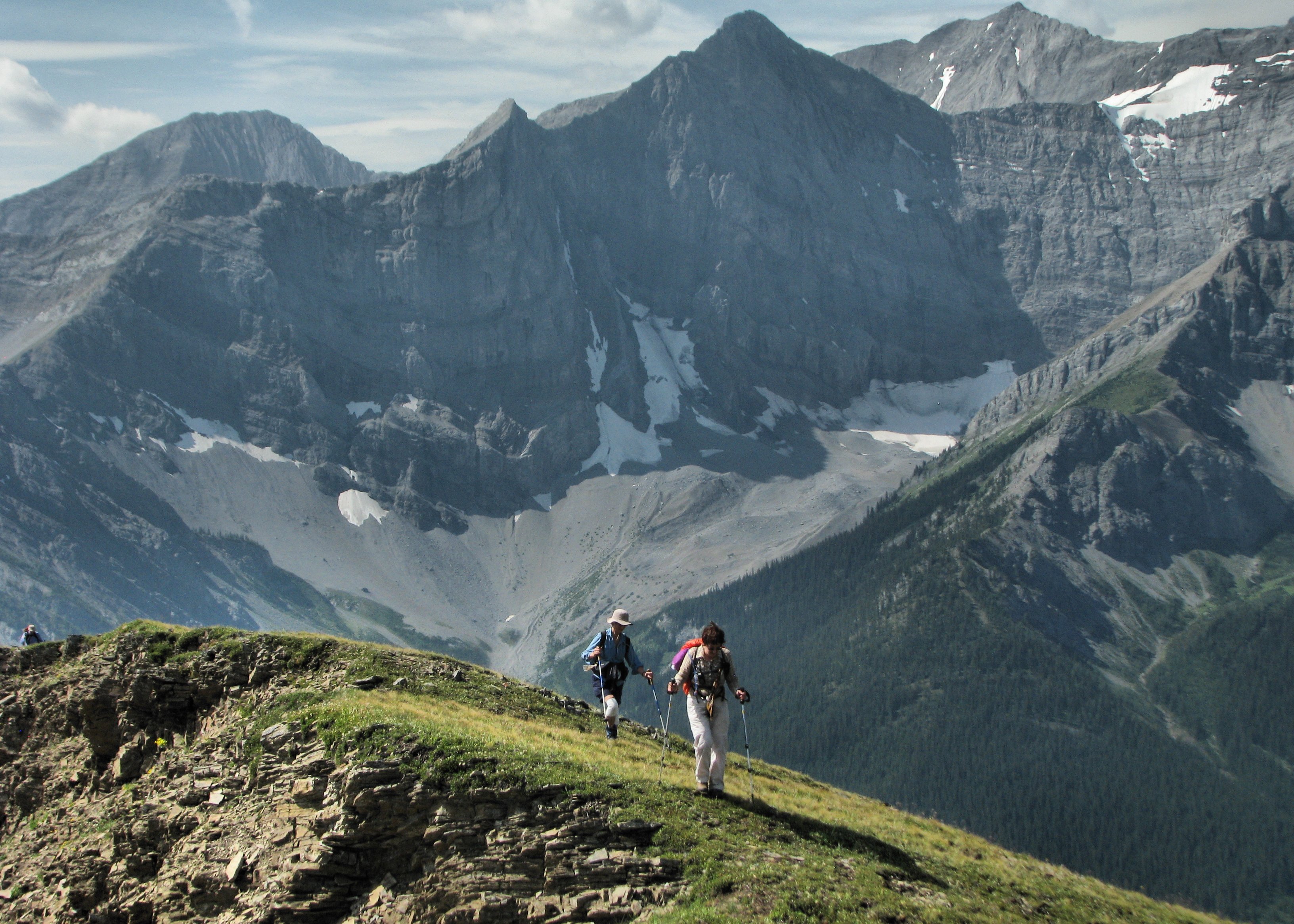
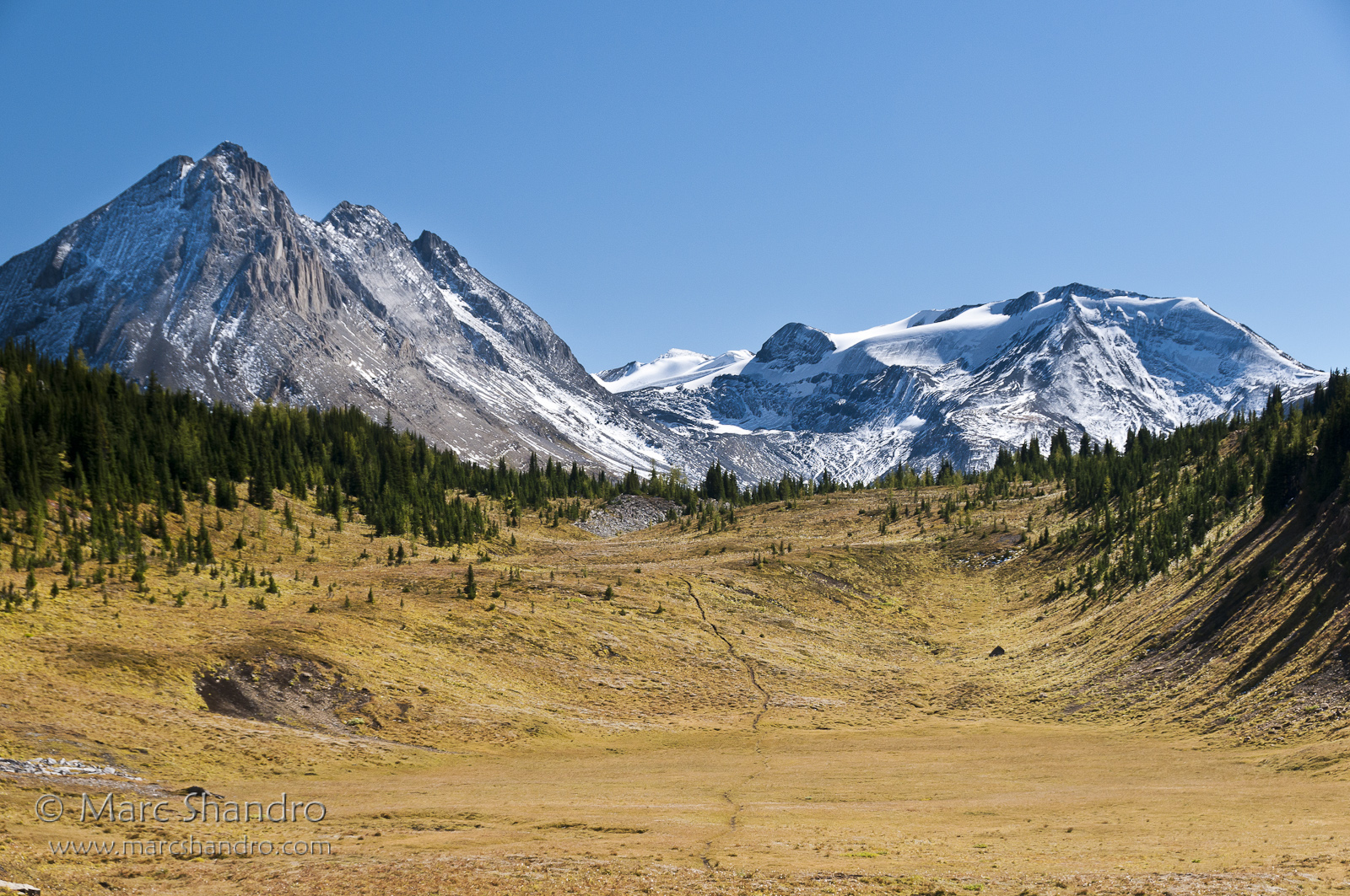
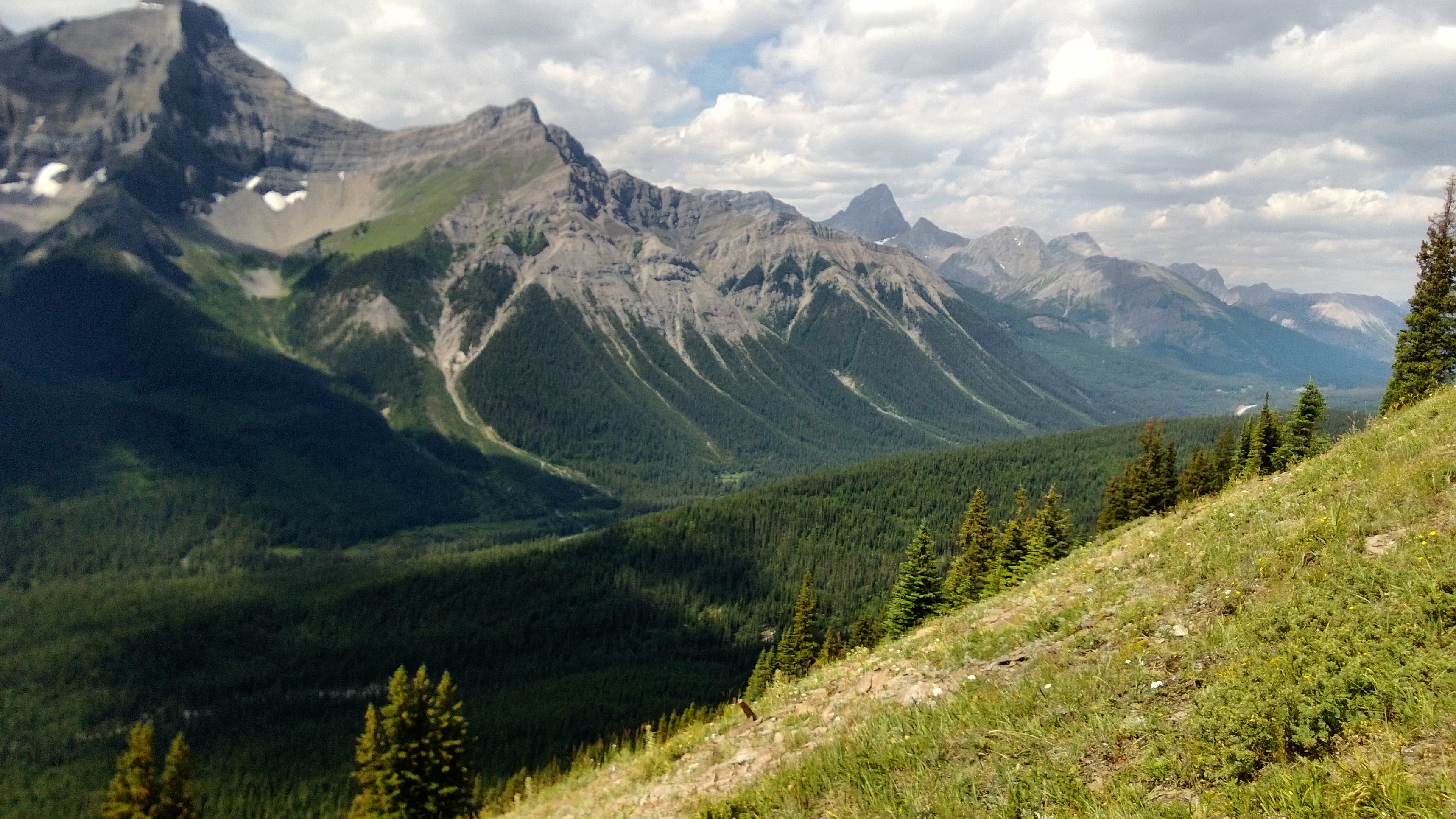
View From North Kananaskis Pass - Canadian Rockies

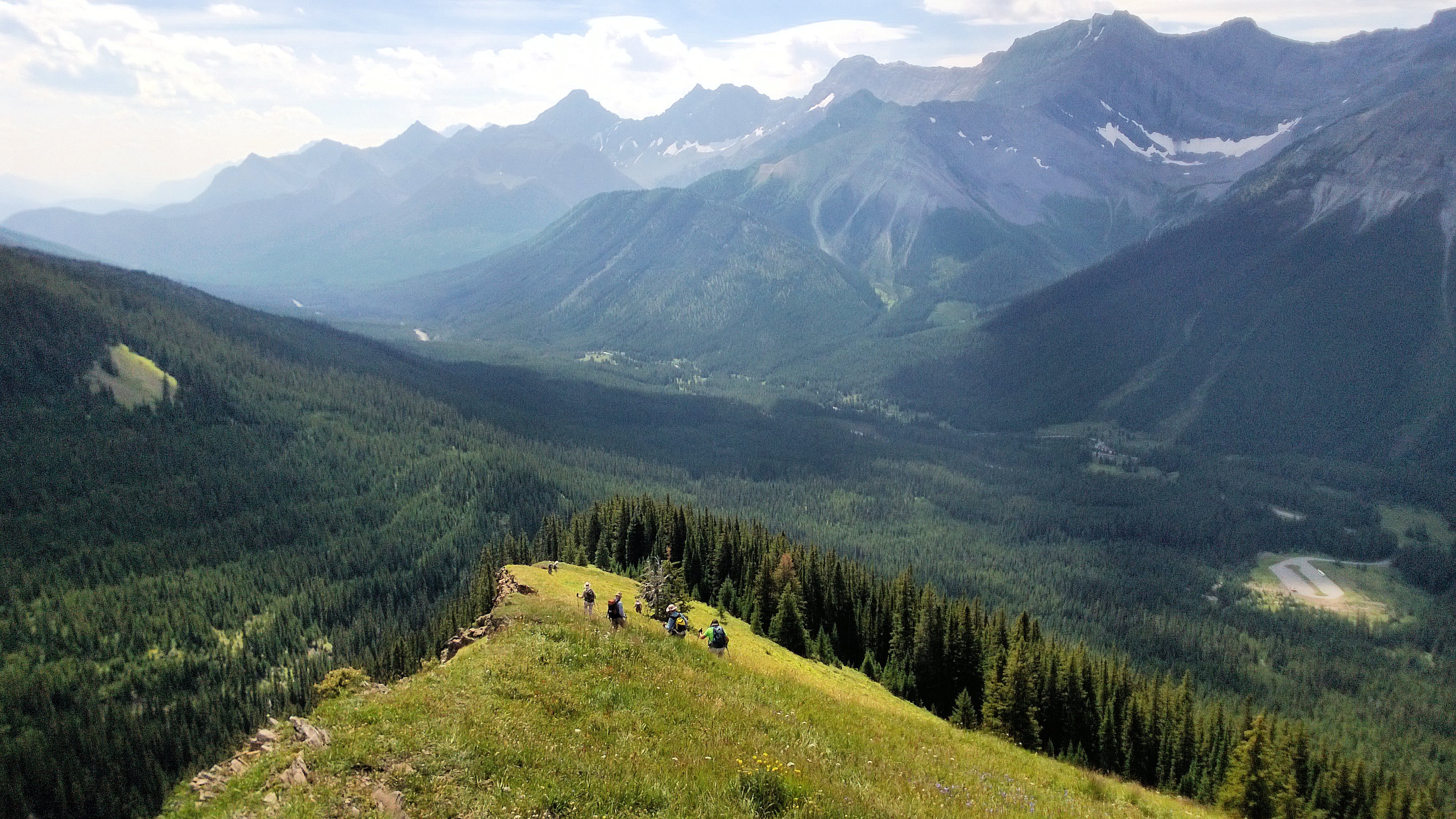
View from Mount Smuts
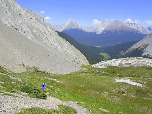
On the Outlier
View From Smut's Pass
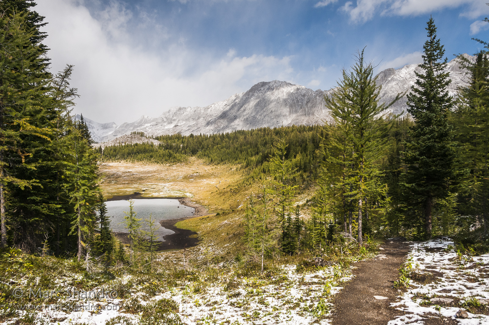
South Kananaskis Pass
Putnik Pond - Kananaskis Alberta - Canadian Rockies
Spray Valley South

20090314-185910.jpg

20090314-201456.jpg

20090314-183926.jpg

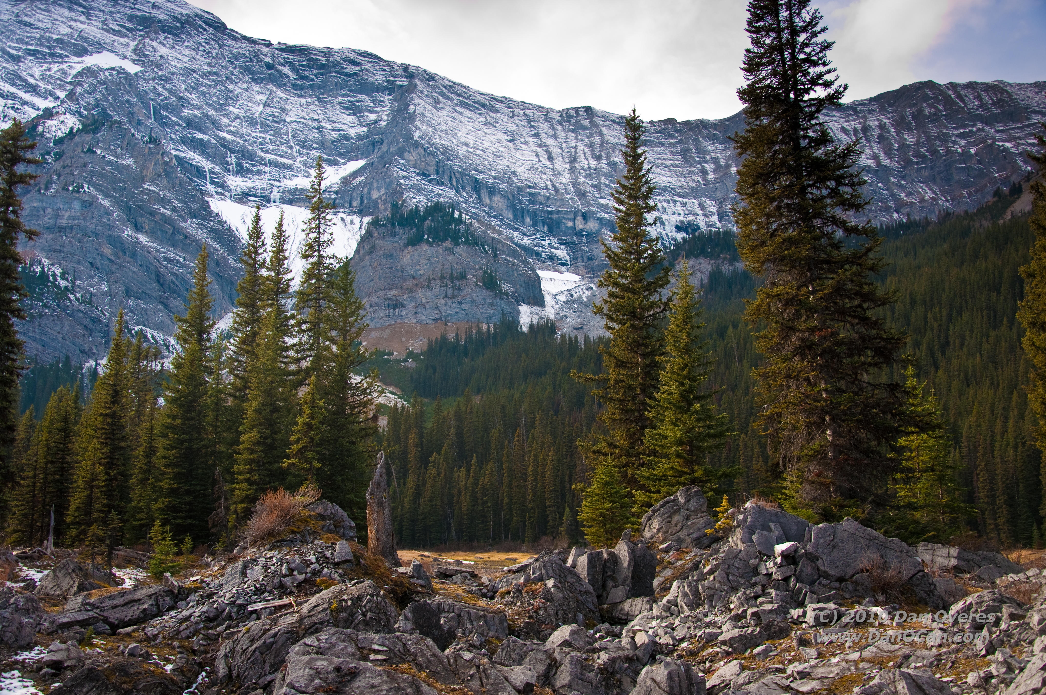
Mount James Walker

20090314-185923.jpg
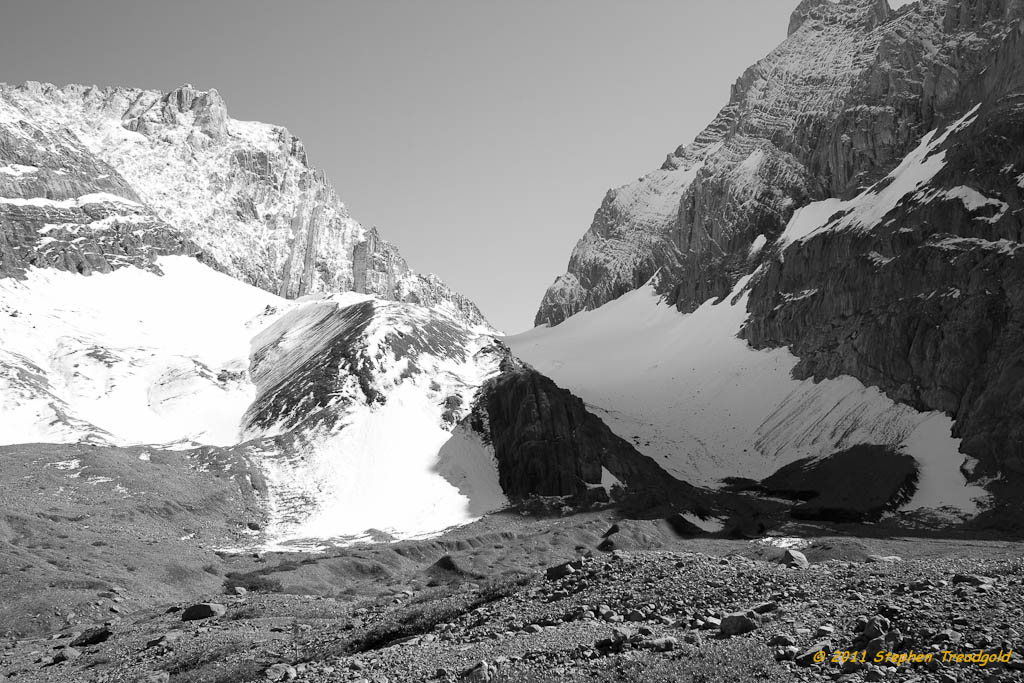
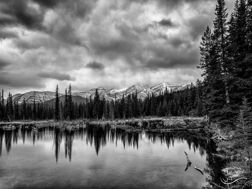
French Glacier in B/W

20090314-185949.jpg

20090314-184003.jpg
Spray Valley North

20090314-185945.jpg
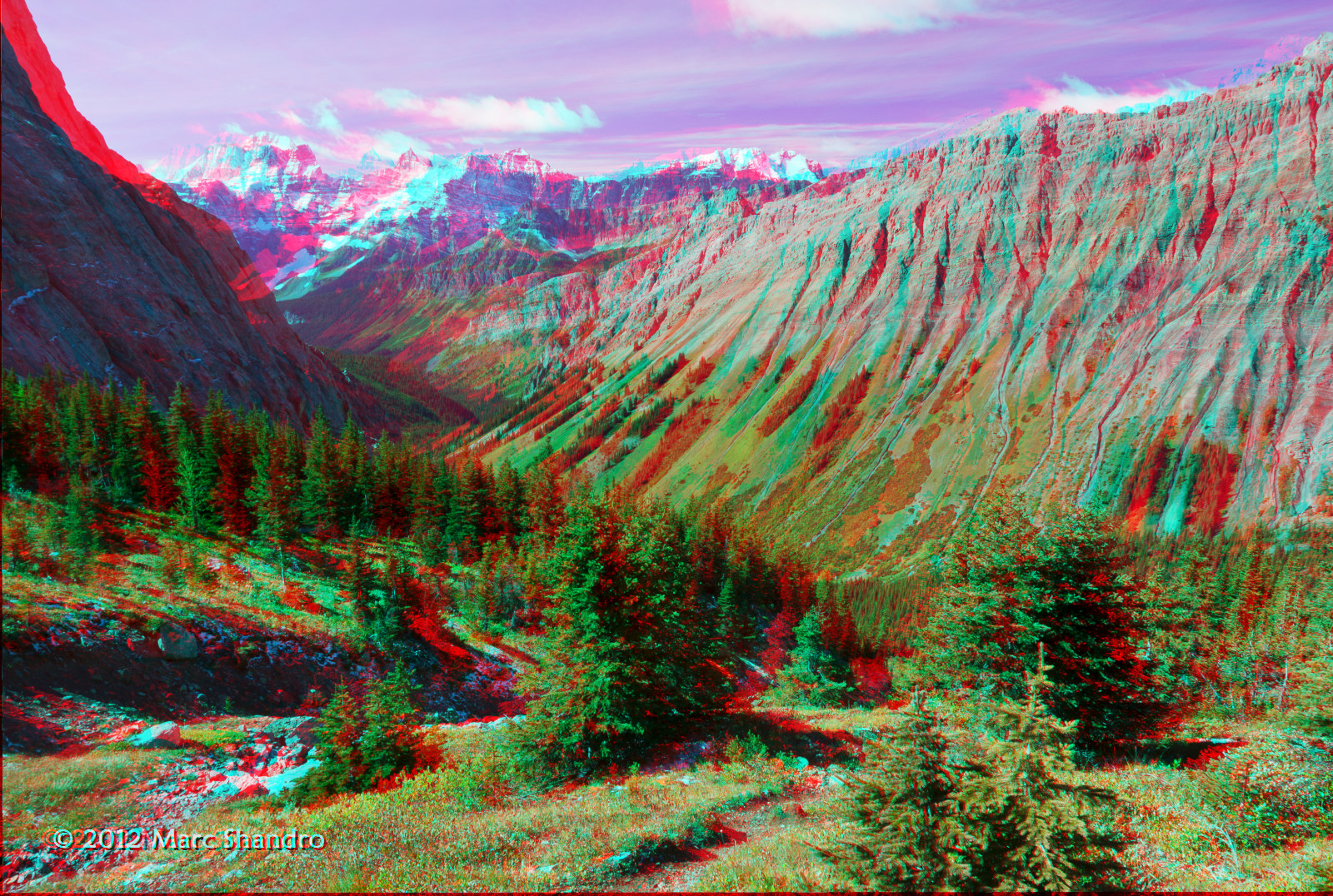
View From North Kananaskis Pass - Canadian Rockies - 3D
Western View

20090314-185918.jpg
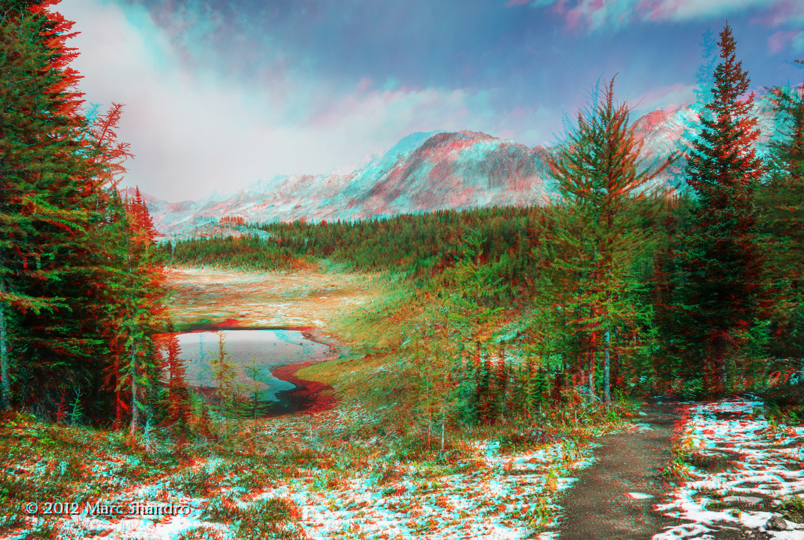
Putnik Pond - Kananaskis Alberta - Canadian Rockies - 3D
Mapa de Mount Queen Elizabeth, Improvement District No. 9, AB T0L, Canadá
Buscar otro lugar
Lugares cercanos
Mount King Albert, East Kootenay F, BC V0B, Canadá
Mount Back, East Kootenay F, BC V0B, Canadá
Tipperary Peak, East Kootenay F, BC V0B, Canadá
Sir Douglas W2, Improvement District No. 9, AB T0L, Canadá
Mount Cradock, East Kootenay F, BC V0B, Canadá
Lockwood Peak, East Kootenay F, BC V0B, Canadá
Mount Leval, Improvement District No. 9, AB T0L, Canadá
Snow Peak, Improvement District No. 9, AB T0L, Canadá
Whistling Rock Peak, Improvement District No. 9, AB T0L, Canadá
Mount Sir Douglas, Improvement District No. 9, AB T0L, Canadá
Sharkfin NE3, East Kootenay F, BC V0B, Canadá
Mount LeRoy, East Kootenay F, BC V0B, Canadá
Mount Monro, East Kootenay F, BC V0B, Canadá
Mount Birdwood, Improvement District No. 9, AB T0L, Canadá
Mount Prince John, East Kootenay F, BC V0B, Canadá
Mount Queen Mary, East Kootenay F, BC V0B, Canadá
Piggy Plus, Kananaskis, AB T0L, Canadá
Queen Mary NW3, East Kootenay F, BC V0B, Canadá
Commonwealth Peak, Kananaskis, AB T0L, Canadá
Mount Burstall, Kananaskis, AB T0L, Canadá
Búsquedas recientes
- Horas de salida y puesta de sol de Red Dog Mine, AK, USA
- Horas de salida y puesta de sol de Am Bahnhof, Am bhf, Borken, Germany
- Horas de salida y puesta de sol de 4th St E, Sonoma, CA, EE. UU.
- Horas de salida y puesta de sol de Oakland Ave, Williamsport, PA, EE. UU.
- Horas de salida y puesta de sol de Via Roma, Pieranica CR, Italia
- Horas de salida y puesta de sol de Torre del reloj, Grad, Dubrovnik (Ragusa), Croacia
- Horas de salida y puesta de sol de Trelew, Chubut, Argentina
- Horas de salida y puesta de sol de Hartfords Bluff Cir, Mt Pleasant, SC, EE. UU.
- Horas de salida y puesta de sol de Kita Ward, Kumamoto, Japón
- Horas de salida y puesta de sol de Pingtan Island, Pingtan County, Fuzhou, China