Horas de salida y puesta de sol de Mount Edgar, Fraser Valley E, BC V0X, Canadá
Location: Canadá > Columbia Británica > Fraser Valley > Fraser Valley E >
Zona horaria:
America/Vancouver
Hora local:
2025-07-07 01:44:56
Longitud:
-121.3452777
Latitud:
49.0338888
Salida de sol de hoy:
05:10:19 AM
Puesta de sol de hoy:
09:10:36 PM
La duración del día hoy:
16h 0m 17s
Salida de sol de mañana:
05:11:12 AM
Puesta de sol de mañana:
09:10:02 PM
La duración del día mañana:
15h 58m 50s
Mostrar todas las fechas
| Fecha | Salida de sol | Puesta de sol | Duración del día |
|---|---|---|---|
| 01/01/2025 | 07:59:18 AM | 04:19:55 PM | 8h 20m 37s |
| 02/01/2025 | 07:59:09 AM | 04:20:58 PM | 8h 21m 49s |
| 03/01/2025 | 07:58:58 AM | 04:22:04 PM | 8h 23m 6s |
| 04/01/2025 | 07:58:43 AM | 04:23:12 PM | 8h 24m 29s |
| 05/01/2025 | 07:58:26 AM | 04:24:22 PM | 8h 25m 56s |
| 06/01/2025 | 07:58:05 AM | 04:25:34 PM | 8h 27m 29s |
| 07/01/2025 | 07:57:42 AM | 04:26:48 PM | 8h 29m 6s |
| 08/01/2025 | 07:57:16 AM | 04:28:04 PM | 8h 30m 48s |
| 09/01/2025 | 07:56:46 AM | 04:29:21 PM | 8h 32m 35s |
| 10/01/2025 | 07:56:14 AM | 04:30:41 PM | 8h 34m 27s |
| 11/01/2025 | 07:55:39 AM | 04:32:02 PM | 8h 36m 23s |
| 12/01/2025 | 07:55:01 AM | 04:33:24 PM | 8h 38m 23s |
| 13/01/2025 | 07:54:21 AM | 04:34:48 PM | 8h 40m 27s |
| 14/01/2025 | 07:53:38 AM | 04:36:14 PM | 8h 42m 36s |
| 15/01/2025 | 07:52:52 AM | 04:37:40 PM | 8h 44m 48s |
| 16/01/2025 | 07:52:03 AM | 04:39:08 PM | 8h 47m 5s |
| 17/01/2025 | 07:51:12 AM | 04:40:37 PM | 8h 49m 25s |
| 18/01/2025 | 07:50:18 AM | 04:42:08 PM | 8h 51m 50s |
| 19/01/2025 | 07:49:22 AM | 04:43:39 PM | 8h 54m 17s |
| 20/01/2025 | 07:48:23 AM | 04:45:11 PM | 8h 56m 48s |
| 21/01/2025 | 07:47:22 AM | 04:46:44 PM | 8h 59m 22s |
| 22/01/2025 | 07:46:18 AM | 04:48:18 PM | 9h 2m 0s |
| 23/01/2025 | 07:45:12 AM | 04:49:53 PM | 9h 4m 41s |
| 24/01/2025 | 07:44:04 AM | 04:51:29 PM | 9h 7m 25s |
| 25/01/2025 | 07:42:53 AM | 04:53:05 PM | 9h 10m 12s |
| 26/01/2025 | 07:41:41 AM | 04:54:42 PM | 9h 13m 1s |
| 27/01/2025 | 07:40:26 AM | 04:56:19 PM | 9h 15m 53s |
| 28/01/2025 | 07:39:09 AM | 04:57:57 PM | 9h 18m 48s |
| 29/01/2025 | 07:37:50 AM | 04:59:35 PM | 9h 21m 45s |
| 30/01/2025 | 07:36:29 AM | 05:01:13 PM | 9h 24m 44s |
| 31/01/2025 | 07:35:06 AM | 05:02:52 PM | 9h 27m 46s |
| 01/02/2025 | 07:33:41 AM | 05:04:31 PM | 9h 30m 50s |
| 02/02/2025 | 07:32:14 AM | 05:06:10 PM | 9h 33m 56s |
| 03/02/2025 | 07:30:46 AM | 05:07:50 PM | 9h 37m 4s |
| 04/02/2025 | 07:29:15 AM | 05:09:30 PM | 9h 40m 15s |
| 05/02/2025 | 07:27:44 AM | 05:11:09 PM | 9h 43m 25s |
| 06/02/2025 | 07:26:10 AM | 05:12:49 PM | 9h 46m 39s |
| 07/02/2025 | 07:24:35 AM | 05:14:29 PM | 9h 49m 54s |
| 08/02/2025 | 07:22:58 AM | 05:16:09 PM | 9h 53m 11s |
| 09/02/2025 | 07:21:19 AM | 05:17:49 PM | 9h 56m 30s |
| 10/02/2025 | 07:19:40 AM | 05:19:29 PM | 9h 59m 49s |
| 11/02/2025 | 07:17:58 AM | 05:21:08 PM | 10h 3m 10s |
| 12/02/2025 | 07:16:16 AM | 05:22:48 PM | 10h 6m 32s |
| 13/02/2025 | 07:14:32 AM | 05:24:27 PM | 10h 9m 55s |
| 14/02/2025 | 07:12:46 AM | 05:26:07 PM | 10h 13m 21s |
| 15/02/2025 | 07:11:00 AM | 05:27:46 PM | 10h 16m 46s |
| 16/02/2025 | 07:09:12 AM | 05:29:25 PM | 10h 20m 13s |
| 17/02/2025 | 07:07:23 AM | 05:31:03 PM | 10h 23m 40s |
| 18/02/2025 | 07:05:33 AM | 05:32:42 PM | 10h 27m 9s |
| 19/02/2025 | 07:03:42 AM | 05:34:20 PM | 10h 30m 38s |
| 20/02/2025 | 07:01:50 AM | 05:35:58 PM | 10h 34m 8s |
| 21/02/2025 | 06:59:57 AM | 05:37:36 PM | 10h 37m 39s |
| 22/02/2025 | 06:58:02 AM | 05:39:14 PM | 10h 41m 12s |
| 23/02/2025 | 06:56:07 AM | 05:40:51 PM | 10h 44m 44s |
| 24/02/2025 | 06:54:11 AM | 05:42:28 PM | 10h 48m 17s |
| 25/02/2025 | 06:52:14 AM | 05:44:05 PM | 10h 51m 51s |
| 26/02/2025 | 06:50:17 AM | 05:45:41 PM | 10h 55m 24s |
| 27/02/2025 | 06:48:18 AM | 05:47:17 PM | 10h 58m 59s |
| 28/02/2025 | 06:46:19 AM | 05:48:53 PM | 11h 2m 34s |
| 01/03/2025 | 06:44:19 AM | 05:50:29 PM | 11h 6m 10s |
| 02/03/2025 | 06:42:18 AM | 05:52:04 PM | 11h 9m 46s |
| 03/03/2025 | 06:40:17 AM | 05:53:39 PM | 11h 13m 22s |
| 04/03/2025 | 06:38:15 AM | 05:55:14 PM | 11h 16m 59s |
| 05/03/2025 | 06:36:13 AM | 05:56:48 PM | 11h 20m 35s |
| 06/03/2025 | 06:34:10 AM | 05:58:23 PM | 11h 24m 13s |
| 07/03/2025 | 06:32:06 AM | 05:59:57 PM | 11h 27m 51s |
| 08/03/2025 | 06:30:02 AM | 06:01:30 PM | 11h 31m 28s |
| 09/03/2025 | 07:28:03 AM | 07:03:00 PM | 11h 34m 57s |
| 10/03/2025 | 07:25:58 AM | 07:04:33 PM | 11h 38m 35s |
| 11/03/2025 | 07:23:53 AM | 07:06:06 PM | 11h 42m 13s |
| 12/03/2025 | 07:21:48 AM | 07:07:39 PM | 11h 45m 51s |
| 13/03/2025 | 07:19:42 AM | 07:09:12 PM | 11h 49m 30s |
| 14/03/2025 | 07:17:36 AM | 07:10:44 PM | 11h 53m 8s |
| 15/03/2025 | 07:15:30 AM | 07:12:17 PM | 11h 56m 47s |
| 16/03/2025 | 07:13:23 AM | 07:13:49 PM | 12h 0m 26s |
| 17/03/2025 | 07:11:16 AM | 07:15:20 PM | 12h 4m 4s |
| 18/03/2025 | 07:09:10 AM | 07:16:52 PM | 12h 7m 42s |
| 19/03/2025 | 07:07:03 AM | 07:18:24 PM | 12h 11m 21s |
| 20/03/2025 | 07:04:56 AM | 07:19:55 PM | 12h 14m 59s |
| 21/03/2025 | 07:02:49 AM | 07:21:26 PM | 12h 18m 37s |
| 22/03/2025 | 07:00:41 AM | 07:22:57 PM | 12h 22m 16s |
| 23/03/2025 | 06:58:34 AM | 07:24:28 PM | 12h 25m 54s |
| 24/03/2025 | 06:56:27 AM | 07:25:59 PM | 12h 29m 32s |
| 25/03/2025 | 06:54:20 AM | 07:27:30 PM | 12h 33m 10s |
| 26/03/2025 | 06:52:13 AM | 07:29:01 PM | 12h 36m 48s |
| 27/03/2025 | 06:50:06 AM | 07:30:31 PM | 12h 40m 25s |
| 28/03/2025 | 06:48:00 AM | 07:32:02 PM | 12h 44m 2s |
| 29/03/2025 | 06:45:53 AM | 07:33:33 PM | 12h 47m 40s |
| 30/03/2025 | 06:43:47 AM | 07:35:03 PM | 12h 51m 16s |
| 31/03/2025 | 06:41:41 AM | 07:36:33 PM | 12h 54m 52s |
| 01/04/2025 | 06:39:35 AM | 07:38:04 PM | 12h 58m 29s |
| 02/04/2025 | 06:37:30 AM | 07:39:34 PM | 13h 2m 4s |
| 03/04/2025 | 06:35:25 AM | 07:41:04 PM | 13h 5m 39s |
| 04/04/2025 | 06:33:20 AM | 07:42:35 PM | 13h 9m 15s |
| 05/04/2025 | 06:31:16 AM | 07:44:05 PM | 13h 12m 49s |
| 06/04/2025 | 06:29:12 AM | 07:45:35 PM | 13h 16m 23s |
| 07/04/2025 | 06:27:09 AM | 07:47:05 PM | 13h 19m 56s |
| 08/04/2025 | 06:25:06 AM | 07:48:35 PM | 13h 23m 29s |
| 09/04/2025 | 06:23:04 AM | 07:50:06 PM | 13h 27m 2s |
| 10/04/2025 | 06:21:02 AM | 07:51:36 PM | 13h 30m 34s |
| 11/04/2025 | 06:19:01 AM | 07:53:06 PM | 13h 34m 5s |
| 12/04/2025 | 06:17:01 AM | 07:54:36 PM | 13h 37m 35s |
| 13/04/2025 | 06:15:01 AM | 07:56:06 PM | 13h 41m 5s |
| 14/04/2025 | 06:13:02 AM | 07:57:36 PM | 13h 44m 34s |
| 15/04/2025 | 06:11:04 AM | 07:59:06 PM | 13h 48m 2s |
| 16/04/2025 | 06:09:06 AM | 08:00:36 PM | 13h 51m 30s |
| 17/04/2025 | 06:07:10 AM | 08:02:06 PM | 13h 54m 56s |
| 18/04/2025 | 06:05:14 AM | 08:03:36 PM | 13h 58m 22s |
| 19/04/2025 | 06:03:19 AM | 08:05:06 PM | 14h 1m 47s |
| 20/04/2025 | 06:01:25 AM | 08:06:36 PM | 14h 5m 11s |
| 21/04/2025 | 05:59:32 AM | 08:08:06 PM | 14h 8m 34s |
| 22/04/2025 | 05:57:40 AM | 08:09:36 PM | 14h 11m 56s |
| 23/04/2025 | 05:55:49 AM | 08:11:05 PM | 14h 15m 16s |
| 24/04/2025 | 05:53:59 AM | 08:12:35 PM | 14h 18m 36s |
| 25/04/2025 | 05:52:10 AM | 08:14:04 PM | 14h 21m 54s |
| 26/04/2025 | 05:50:22 AM | 08:15:33 PM | 14h 25m 11s |
| 27/04/2025 | 05:48:36 AM | 08:17:02 PM | 14h 28m 26s |
| 28/04/2025 | 05:46:51 AM | 08:18:31 PM | 14h 31m 40s |
| 29/04/2025 | 05:45:07 AM | 08:20:00 PM | 14h 34m 53s |
| 30/04/2025 | 05:43:24 AM | 08:21:28 PM | 14h 38m 4s |
| 01/05/2025 | 05:41:43 AM | 08:22:56 PM | 14h 41m 13s |
| 02/05/2025 | 05:40:03 AM | 08:24:24 PM | 14h 44m 21s |
| 03/05/2025 | 05:38:25 AM | 08:25:51 PM | 14h 47m 26s |
| 04/05/2025 | 05:36:48 AM | 08:27:18 PM | 14h 50m 30s |
| 05/05/2025 | 05:35:12 AM | 08:28:45 PM | 14h 53m 33s |
| 06/05/2025 | 05:33:38 AM | 08:30:11 PM | 14h 56m 33s |
| 07/05/2025 | 05:32:06 AM | 08:31:37 PM | 14h 59m 31s |
| 08/05/2025 | 05:30:36 AM | 08:33:02 PM | 15h 2m 26s |
| 09/05/2025 | 05:29:07 AM | 08:34:26 PM | 15h 5m 19s |
| 10/05/2025 | 05:27:40 AM | 08:35:50 PM | 15h 8m 10s |
| 11/05/2025 | 05:26:14 AM | 08:37:14 PM | 15h 11m 0s |
| 12/05/2025 | 05:24:51 AM | 08:38:37 PM | 15h 13m 46s |
| 13/05/2025 | 05:23:29 AM | 08:39:59 PM | 15h 16m 30s |
| 14/05/2025 | 05:22:10 AM | 08:41:20 PM | 15h 19m 10s |
| 15/05/2025 | 05:20:52 AM | 08:42:40 PM | 15h 21m 48s |
| 16/05/2025 | 05:19:36 AM | 08:43:59 PM | 15h 24m 23s |
| 17/05/2025 | 05:18:23 AM | 08:45:18 PM | 15h 26m 55s |
| 18/05/2025 | 05:17:11 AM | 08:46:35 PM | 15h 29m 24s |
| 19/05/2025 | 05:16:02 AM | 08:47:52 PM | 15h 31m 50s |
| 20/05/2025 | 05:14:54 AM | 08:49:07 PM | 15h 34m 13s |
| 21/05/2025 | 05:13:49 AM | 08:50:22 PM | 15h 36m 33s |
| 22/05/2025 | 05:12:46 AM | 08:51:35 PM | 15h 38m 49s |
| 23/05/2025 | 05:11:46 AM | 08:52:46 PM | 15h 41m 0s |
| 24/05/2025 | 05:10:48 AM | 08:53:57 PM | 15h 43m 9s |
| 25/05/2025 | 05:09:52 AM | 08:55:06 PM | 15h 45m 14s |
| 26/05/2025 | 05:08:58 AM | 08:56:13 PM | 15h 47m 15s |
| 27/05/2025 | 05:08:08 AM | 08:57:19 PM | 15h 49m 11s |
| 28/05/2025 | 05:07:19 AM | 08:58:23 PM | 15h 51m 4s |
| 29/05/2025 | 05:06:33 AM | 08:59:26 PM | 15h 52m 53s |
| 30/05/2025 | 05:05:50 AM | 09:00:27 PM | 15h 54m 37s |
| 31/05/2025 | 05:05:09 AM | 09:01:27 PM | 15h 56m 18s |
| 01/06/2025 | 05:04:30 AM | 09:02:24 PM | 15h 57m 54s |
| 02/06/2025 | 05:03:55 AM | 09:03:20 PM | 15h 59m 25s |
| 03/06/2025 | 05:03:22 AM | 09:04:13 PM | 16h 0m 51s |
| 04/06/2025 | 05:02:51 AM | 09:05:05 PM | 16h 2m 14s |
| 05/06/2025 | 05:02:24 AM | 09:05:55 PM | 16h 3m 31s |
| 06/06/2025 | 05:01:59 AM | 09:06:42 PM | 16h 4m 43s |
| 07/06/2025 | 05:01:37 AM | 09:07:27 PM | 16h 5m 50s |
| 08/06/2025 | 05:01:17 AM | 09:08:10 PM | 16h 6m 53s |
| 09/06/2025 | 05:01:00 AM | 09:08:51 PM | 16h 7m 51s |
| 10/06/2025 | 05:00:46 AM | 09:09:30 PM | 16h 8m 44s |
| 11/06/2025 | 05:00:35 AM | 09:10:06 PM | 16h 9m 31s |
| 12/06/2025 | 05:00:26 AM | 09:10:40 PM | 16h 10m 14s |
| 13/06/2025 | 05:00:21 AM | 09:11:11 PM | 16h 10m 50s |
| 14/06/2025 | 05:00:18 AM | 09:11:40 PM | 16h 11m 22s |
| 15/06/2025 | 05:00:17 AM | 09:12:06 PM | 16h 11m 49s |
| 16/06/2025 | 05:00:20 AM | 09:12:29 PM | 16h 12m 9s |
| 17/06/2025 | 05:00:25 AM | 09:12:50 PM | 16h 12m 25s |
| 18/06/2025 | 05:00:33 AM | 09:13:09 PM | 16h 12m 36s |
| 19/06/2025 | 05:00:43 AM | 09:13:24 PM | 16h 12m 41s |
| 20/06/2025 | 05:00:56 AM | 09:13:37 PM | 16h 12m 41s |
| 21/06/2025 | 05:01:12 AM | 09:13:48 PM | 16h 12m 36s |
| 22/06/2025 | 05:01:30 AM | 09:13:55 PM | 16h 12m 25s |
| 23/06/2025 | 05:01:51 AM | 09:14:00 PM | 16h 12m 9s |
| 24/06/2025 | 05:02:15 AM | 09:14:02 PM | 16h 11m 47s |
| 25/06/2025 | 05:02:41 AM | 09:14:01 PM | 16h 11m 20s |
| 26/06/2025 | 05:03:09 AM | 09:13:58 PM | 16h 10m 49s |
| 27/06/2025 | 05:03:40 AM | 09:13:51 PM | 16h 10m 11s |
| 28/06/2025 | 05:04:13 AM | 09:13:42 PM | 16h 9m 29s |
| 29/06/2025 | 05:04:49 AM | 09:13:30 PM | 16h 8m 41s |
| 30/06/2025 | 05:05:27 AM | 09:13:15 PM | 16h 7m 48s |
| 01/07/2025 | 05:06:07 AM | 09:12:58 PM | 16h 6m 51s |
| 02/07/2025 | 05:06:49 AM | 09:12:38 PM | 16h 5m 49s |
| 03/07/2025 | 05:07:34 AM | 09:12:15 PM | 16h 4m 41s |
| 04/07/2025 | 05:08:20 AM | 09:11:49 PM | 16h 3m 29s |
| 05/07/2025 | 05:09:09 AM | 09:11:20 PM | 16h 2m 11s |
| 06/07/2025 | 05:09:59 AM | 09:10:49 PM | 16h 0m 50s |
| 07/07/2025 | 05:10:52 AM | 09:10:15 PM | 15h 59m 23s |
| 08/07/2025 | 05:11:46 AM | 09:09:38 PM | 15h 57m 52s |
| 09/07/2025 | 05:12:42 AM | 09:08:59 PM | 15h 56m 17s |
| 10/07/2025 | 05:13:40 AM | 09:08:17 PM | 15h 54m 37s |
| 11/07/2025 | 05:14:39 AM | 09:07:33 PM | 15h 52m 54s |
| 12/07/2025 | 05:15:40 AM | 09:06:46 PM | 15h 51m 6s |
| 13/07/2025 | 05:16:43 AM | 09:05:56 PM | 15h 49m 13s |
| 14/07/2025 | 05:17:47 AM | 09:05:04 PM | 15h 47m 17s |
| 15/07/2025 | 05:18:53 AM | 09:04:10 PM | 15h 45m 17s |
| 16/07/2025 | 05:20:00 AM | 09:03:13 PM | 15h 43m 13s |
| 17/07/2025 | 05:21:08 AM | 09:02:13 PM | 15h 41m 5s |
| 18/07/2025 | 05:22:17 AM | 09:01:12 PM | 15h 38m 55s |
| 19/07/2025 | 05:23:28 AM | 09:00:08 PM | 15h 36m 40s |
| 20/07/2025 | 05:24:40 AM | 08:59:02 PM | 15h 34m 22s |
| 21/07/2025 | 05:25:53 AM | 08:57:53 PM | 15h 32m 0s |
| 22/07/2025 | 05:27:07 AM | 08:56:42 PM | 15h 29m 35s |
| 23/07/2025 | 05:28:22 AM | 08:55:30 PM | 15h 27m 8s |
| 24/07/2025 | 05:29:37 AM | 08:54:15 PM | 15h 24m 38s |
| 25/07/2025 | 05:30:54 AM | 08:52:58 PM | 15h 22m 4s |
| 26/07/2025 | 05:32:11 AM | 08:51:39 PM | 15h 19m 28s |
| 27/07/2025 | 05:33:30 AM | 08:50:18 PM | 15h 16m 48s |
| 28/07/2025 | 05:34:49 AM | 08:48:55 PM | 15h 14m 6s |
| 29/07/2025 | 05:36:08 AM | 08:47:31 PM | 15h 11m 23s |
| 30/07/2025 | 05:37:28 AM | 08:46:04 PM | 15h 8m 36s |
| 31/07/2025 | 05:38:49 AM | 08:44:36 PM | 15h 5m 47s |
| 01/08/2025 | 05:40:11 AM | 08:43:06 PM | 15h 2m 55s |
| 02/08/2025 | 05:41:32 AM | 08:41:34 PM | 15h 0m 2s |
| 03/08/2025 | 05:42:55 AM | 08:40:01 PM | 14h 57m 6s |
| 04/08/2025 | 05:44:17 AM | 08:38:26 PM | 14h 54m 9s |
| 05/08/2025 | 05:45:40 AM | 08:36:49 PM | 14h 51m 9s |
| 06/08/2025 | 05:47:04 AM | 08:35:11 PM | 14h 48m 7s |
| 07/08/2025 | 05:48:27 AM | 08:33:31 PM | 14h 45m 4s |
| 08/08/2025 | 05:49:51 AM | 08:31:50 PM | 14h 41m 59s |
| 09/08/2025 | 05:51:16 AM | 08:30:08 PM | 14h 38m 52s |
| 10/08/2025 | 05:52:40 AM | 08:28:24 PM | 14h 35m 44s |
| 11/08/2025 | 05:54:05 AM | 08:26:39 PM | 14h 32m 34s |
| 12/08/2025 | 05:55:30 AM | 08:24:52 PM | 14h 29m 22s |
| 13/08/2025 | 05:56:55 AM | 08:23:05 PM | 14h 26m 10s |
| 14/08/2025 | 05:58:20 AM | 08:21:16 PM | 14h 22m 56s |
| 15/08/2025 | 05:59:45 AM | 08:19:26 PM | 14h 19m 41s |
| 16/08/2025 | 06:01:10 AM | 08:17:35 PM | 14h 16m 25s |
| 17/08/2025 | 06:02:36 AM | 08:15:42 PM | 14h 13m 6s |
| 18/08/2025 | 06:04:01 AM | 08:13:49 PM | 14h 9m 48s |
| 19/08/2025 | 06:05:27 AM | 08:11:55 PM | 14h 6m 28s |
| 20/08/2025 | 06:06:52 AM | 08:10:00 PM | 14h 3m 8s |
| 21/08/2025 | 06:08:18 AM | 08:08:03 PM | 13h 59m 45s |
| 22/08/2025 | 06:09:43 AM | 08:06:06 PM | 13h 56m 23s |
| 23/08/2025 | 06:11:09 AM | 08:04:08 PM | 13h 52m 59s |
| 24/08/2025 | 06:12:34 AM | 08:02:10 PM | 13h 49m 36s |
| 25/08/2025 | 06:14:00 AM | 08:00:10 PM | 13h 46m 10s |
| 26/08/2025 | 06:15:26 AM | 07:58:10 PM | 13h 42m 44s |
| 27/08/2025 | 06:16:51 AM | 07:56:09 PM | 13h 39m 18s |
| 28/08/2025 | 06:18:17 AM | 07:54:07 PM | 13h 35m 50s |
| 29/08/2025 | 06:19:42 AM | 07:52:04 PM | 13h 32m 22s |
| 30/08/2025 | 06:21:08 AM | 07:50:01 PM | 13h 28m 53s |
| 31/08/2025 | 06:22:33 AM | 07:47:58 PM | 13h 25m 25s |
| 01/09/2025 | 06:23:59 AM | 07:45:54 PM | 13h 21m 55s |
| 02/09/2025 | 06:25:24 AM | 07:43:49 PM | 13h 18m 25s |
| 03/09/2025 | 06:26:49 AM | 07:41:44 PM | 13h 14m 55s |
| 04/09/2025 | 06:28:15 AM | 07:39:38 PM | 13h 11m 23s |
| 05/09/2025 | 06:29:40 AM | 07:37:32 PM | 13h 7m 52s |
| 06/09/2025 | 06:31:06 AM | 07:35:26 PM | 13h 4m 20s |
| 07/09/2025 | 06:32:31 AM | 07:33:19 PM | 13h 0m 48s |
| 08/09/2025 | 06:33:57 AM | 07:31:12 PM | 12h 57m 15s |
| 09/09/2025 | 06:35:22 AM | 07:29:04 PM | 12h 53m 42s |
| 10/09/2025 | 06:36:47 AM | 07:26:57 PM | 12h 50m 10s |
| 11/09/2025 | 06:38:13 AM | 07:24:49 PM | 12h 46m 36s |
| 12/09/2025 | 06:39:38 AM | 07:22:40 PM | 12h 43m 2s |
| 13/09/2025 | 06:41:04 AM | 07:20:32 PM | 12h 39m 28s |
| 14/09/2025 | 06:42:30 AM | 07:18:24 PM | 12h 35m 54s |
| 15/09/2025 | 06:43:55 AM | 07:16:15 PM | 12h 32m 20s |
| 16/09/2025 | 06:45:21 AM | 07:14:06 PM | 12h 28m 45s |
| 17/09/2025 | 06:46:47 AM | 07:11:57 PM | 12h 25m 10s |
| 18/09/2025 | 06:48:13 AM | 07:09:49 PM | 12h 21m 36s |
| 19/09/2025 | 06:49:39 AM | 07:07:40 PM | 12h 18m 1s |
| 20/09/2025 | 06:51:06 AM | 07:05:31 PM | 12h 14m 25s |
| 21/09/2025 | 06:52:32 AM | 07:03:22 PM | 12h 10m 50s |
| 22/09/2025 | 06:53:58 AM | 07:01:14 PM | 12h 7m 16s |
| 23/09/2025 | 06:55:25 AM | 06:59:05 PM | 12h 3m 40s |
| 24/09/2025 | 06:56:52 AM | 06:56:57 PM | 12h 0m 5s |
| 25/09/2025 | 06:58:19 AM | 06:54:49 PM | 11h 56m 30s |
| 26/09/2025 | 06:59:46 AM | 06:52:41 PM | 11h 52m 55s |
| 27/09/2025 | 07:01:14 AM | 06:50:33 PM | 11h 49m 19s |
| 28/09/2025 | 07:02:41 AM | 06:48:25 PM | 11h 45m 44s |
| 29/09/2025 | 07:04:09 AM | 06:46:18 PM | 11h 42m 9s |
| 30/09/2025 | 07:05:37 AM | 06:44:11 PM | 11h 38m 34s |
| 01/10/2025 | 07:07:05 AM | 06:42:05 PM | 11h 35m 0s |
| 02/10/2025 | 07:08:34 AM | 06:39:59 PM | 11h 31m 25s |
| 03/10/2025 | 07:10:03 AM | 06:37:53 PM | 11h 27m 50s |
| 04/10/2025 | 07:11:32 AM | 06:35:48 PM | 11h 24m 16s |
| 05/10/2025 | 07:13:01 AM | 06:33:44 PM | 11h 20m 43s |
| 06/10/2025 | 07:14:31 AM | 06:31:39 PM | 11h 17m 8s |
| 07/10/2025 | 07:16:01 AM | 06:29:36 PM | 11h 13m 35s |
| 08/10/2025 | 07:17:31 AM | 06:27:33 PM | 11h 10m 2s |
| 09/10/2025 | 07:19:01 AM | 06:25:30 PM | 11h 6m 29s |
| 10/10/2025 | 07:20:32 AM | 06:23:29 PM | 11h 2m 57s |
| 11/10/2025 | 07:22:03 AM | 06:21:28 PM | 10h 59m 25s |
| 12/10/2025 | 07:23:35 AM | 06:19:27 PM | 10h 55m 52s |
| 13/10/2025 | 07:25:06 AM | 06:17:28 PM | 10h 52m 22s |
| 14/10/2025 | 07:26:38 AM | 06:15:29 PM | 10h 48m 51s |
| 15/10/2025 | 07:28:10 AM | 06:13:31 PM | 10h 45m 21s |
| 16/10/2025 | 07:29:43 AM | 06:11:34 PM | 10h 41m 51s |
| 17/10/2025 | 07:31:16 AM | 06:09:38 PM | 10h 38m 22s |
| 18/10/2025 | 07:32:49 AM | 06:07:43 PM | 10h 34m 54s |
| 19/10/2025 | 07:34:22 AM | 06:05:49 PM | 10h 31m 27s |
| 20/10/2025 | 07:35:56 AM | 06:03:56 PM | 10h 28m 0s |
| 21/10/2025 | 07:37:30 AM | 06:02:04 PM | 10h 24m 34s |
| 22/10/2025 | 07:39:04 AM | 06:00:13 PM | 10h 21m 9s |
| 23/10/2025 | 07:40:39 AM | 05:58:23 PM | 10h 17m 44s |
| 24/10/2025 | 07:42:14 AM | 05:56:35 PM | 10h 14m 21s |
| 25/10/2025 | 07:43:49 AM | 05:54:47 PM | 10h 10m 58s |
| 26/10/2025 | 07:45:24 AM | 05:53:01 PM | 10h 7m 37s |
| 27/10/2025 | 07:46:59 AM | 05:51:16 PM | 10h 4m 17s |
| 28/10/2025 | 07:48:35 AM | 05:49:33 PM | 10h 0m 58s |
| 29/10/2025 | 07:50:10 AM | 05:47:51 PM | 9h 57m 41s |
| 30/10/2025 | 07:51:46 AM | 05:46:11 PM | 9h 54m 25s |
| 31/10/2025 | 07:53:22 AM | 05:44:31 PM | 9h 51m 9s |
| 01/11/2025 | 07:54:58 AM | 05:42:54 PM | 9h 47m 56s |
| 02/11/2025 | 06:56:38 AM | 04:41:14 PM | 9h 44m 36s |
| 03/11/2025 | 06:58:14 AM | 04:39:40 PM | 9h 41m 26s |
| 04/11/2025 | 06:59:50 AM | 04:38:07 PM | 9h 38m 17s |
| 05/11/2025 | 07:01:26 AM | 04:36:36 PM | 9h 35m 10s |
| 06/11/2025 | 07:03:01 AM | 04:35:07 PM | 9h 32m 6s |
| 07/11/2025 | 07:04:37 AM | 04:33:40 PM | 9h 29m 3s |
| 08/11/2025 | 07:06:13 AM | 04:32:15 PM | 9h 26m 2s |
| 09/11/2025 | 07:07:48 AM | 04:30:51 PM | 9h 23m 3s |
| 10/11/2025 | 07:09:23 AM | 04:29:30 PM | 9h 20m 7s |
| 11/11/2025 | 07:10:57 AM | 04:28:11 PM | 9h 17m 14s |
| 12/11/2025 | 07:12:32 AM | 04:26:53 PM | 9h 14m 21s |
| 13/11/2025 | 07:14:06 AM | 04:25:38 PM | 9h 11m 32s |
| 14/11/2025 | 07:15:39 AM | 04:24:25 PM | 9h 8m 46s |
| 15/11/2025 | 07:17:12 AM | 04:23:14 PM | 9h 6m 2s |
| 16/11/2025 | 07:18:44 AM | 04:22:05 PM | 9h 3m 21s |
| 17/11/2025 | 07:20:16 AM | 04:20:59 PM | 9h 0m 43s |
| 18/11/2025 | 07:21:47 AM | 04:19:55 PM | 8h 58m 8s |
| 19/11/2025 | 07:23:17 AM | 04:18:54 PM | 8h 55m 37s |
| 20/11/2025 | 07:24:46 AM | 04:17:55 PM | 8h 53m 9s |
| 21/11/2025 | 07:26:14 AM | 04:16:58 PM | 8h 50m 44s |
| 22/11/2025 | 07:27:42 AM | 04:16:04 PM | 8h 48m 22s |
| 23/11/2025 | 07:29:08 AM | 04:15:13 PM | 8h 46m 5s |
| 24/11/2025 | 07:30:33 AM | 04:14:24 PM | 8h 43m 51s |
| 25/11/2025 | 07:31:57 AM | 04:13:38 PM | 8h 41m 41s |
| 26/11/2025 | 07:33:20 AM | 04:12:54 PM | 8h 39m 34s |
| 27/11/2025 | 07:34:41 AM | 04:12:14 PM | 8h 37m 33s |
| 28/11/2025 | 07:36:01 AM | 04:11:36 PM | 8h 35m 35s |
| 29/11/2025 | 07:37:20 AM | 04:11:01 PM | 8h 33m 41s |
| 30/11/2025 | 07:38:37 AM | 04:10:29 PM | 8h 31m 52s |
| 01/12/2025 | 07:39:52 AM | 04:10:00 PM | 8h 30m 8s |
| 02/12/2025 | 07:41:06 AM | 04:09:34 PM | 8h 28m 28s |
| 03/12/2025 | 07:42:18 AM | 04:09:10 PM | 8h 26m 52s |
| 04/12/2025 | 07:43:27 AM | 04:08:50 PM | 8h 25m 23s |
| 05/12/2025 | 07:44:35 AM | 04:08:33 PM | 8h 23m 58s |
| 06/12/2025 | 07:45:41 AM | 04:08:18 PM | 8h 22m 37s |
| 07/12/2025 | 07:46:45 AM | 04:08:07 PM | 8h 21m 22s |
| 08/12/2025 | 07:47:47 AM | 04:07:59 PM | 8h 20m 12s |
| 09/12/2025 | 07:48:47 AM | 04:07:54 PM | 8h 19m 7s |
| 10/12/2025 | 07:49:44 AM | 04:07:52 PM | 8h 18m 8s |
| 11/12/2025 | 07:50:39 AM | 04:07:53 PM | 8h 17m 14s |
| 12/12/2025 | 07:51:31 AM | 04:07:57 PM | 8h 16m 26s |
| 13/12/2025 | 07:52:21 AM | 04:08:04 PM | 8h 15m 43s |
| 14/12/2025 | 07:53:09 AM | 04:08:15 PM | 8h 15m 6s |
| 15/12/2025 | 07:53:53 AM | 04:08:28 PM | 8h 14m 35s |
| 16/12/2025 | 07:54:36 AM | 04:08:45 PM | 8h 14m 9s |
| 17/12/2025 | 07:55:15 AM | 04:09:04 PM | 8h 13m 49s |
| 18/12/2025 | 07:55:52 AM | 04:09:27 PM | 8h 13m 35s |
| 19/12/2025 | 07:56:26 AM | 04:09:52 PM | 8h 13m 26s |
| 20/12/2025 | 07:56:57 AM | 04:10:21 PM | 8h 13m 24s |
| 21/12/2025 | 07:57:25 AM | 04:10:52 PM | 8h 13m 27s |
| 22/12/2025 | 07:57:50 AM | 04:11:27 PM | 8h 13m 37s |
| 23/12/2025 | 07:58:13 AM | 04:12:04 PM | 8h 13m 51s |
| 24/12/2025 | 07:58:32 AM | 04:12:44 PM | 8h 14m 12s |
| 25/12/2025 | 07:58:49 AM | 04:13:27 PM | 8h 14m 38s |
| 26/12/2025 | 07:59:02 AM | 04:14:12 PM | 8h 15m 10s |
| 27/12/2025 | 07:59:13 AM | 04:15:00 PM | 8h 15m 47s |
| 28/12/2025 | 07:59:20 AM | 04:15:51 PM | 8h 16m 31s |
| 29/12/2025 | 07:59:24 AM | 04:16:44 PM | 8h 17m 20s |
| 30/12/2025 | 07:59:26 AM | 04:17:40 PM | 8h 18m 14s |
| 31/12/2025 | 07:59:24 AM | 04:18:39 PM | 8h 19m 15s |
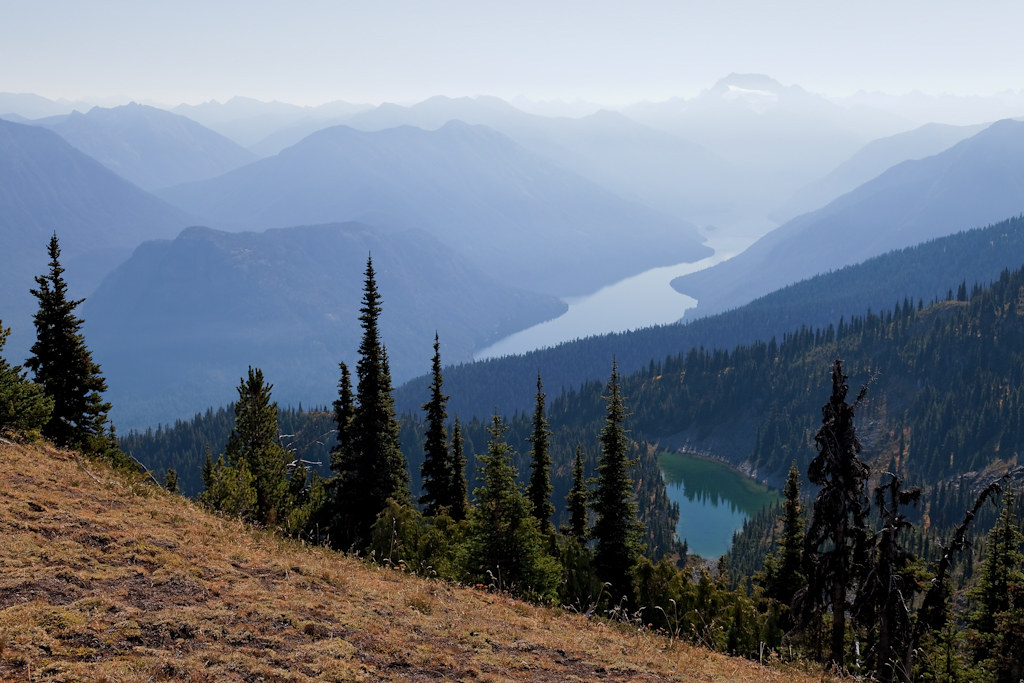
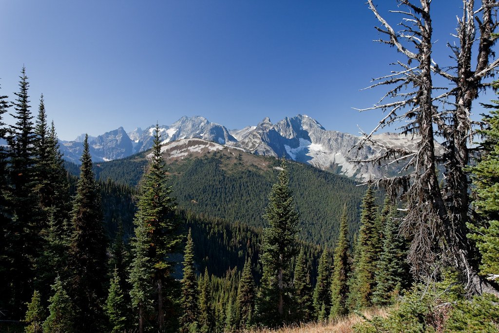
Fotos

New Year's Eve Sunrise
20060910-001

View from my lunchspot today...

Chilliwack Lake Circle

Chilliwack Lake Log

Chilliwack Lake Gritty Rocks
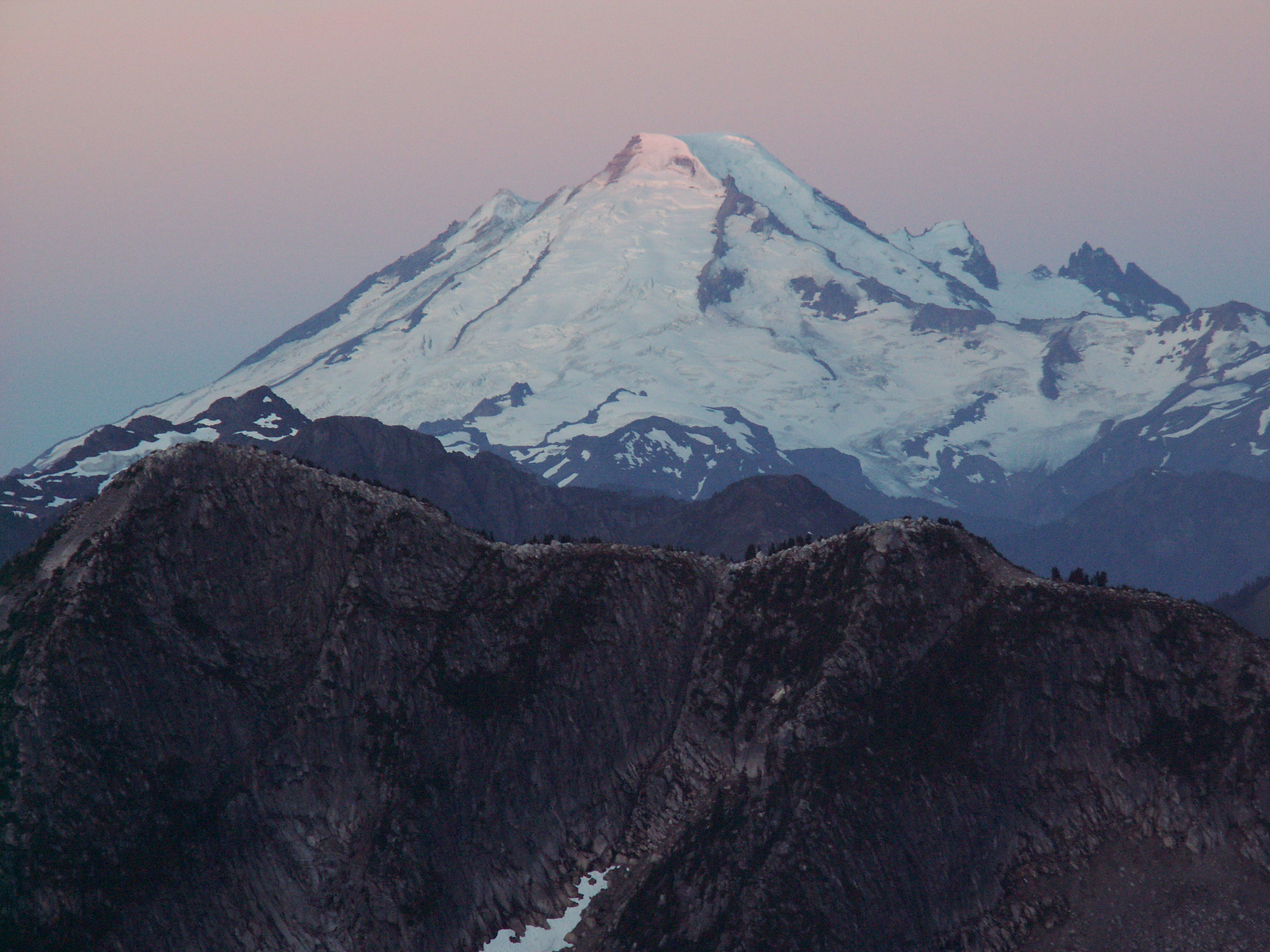
Mount Redoubt and Spickard
Mount Redoubt and Spickard
Mount Redoubt and Spickard
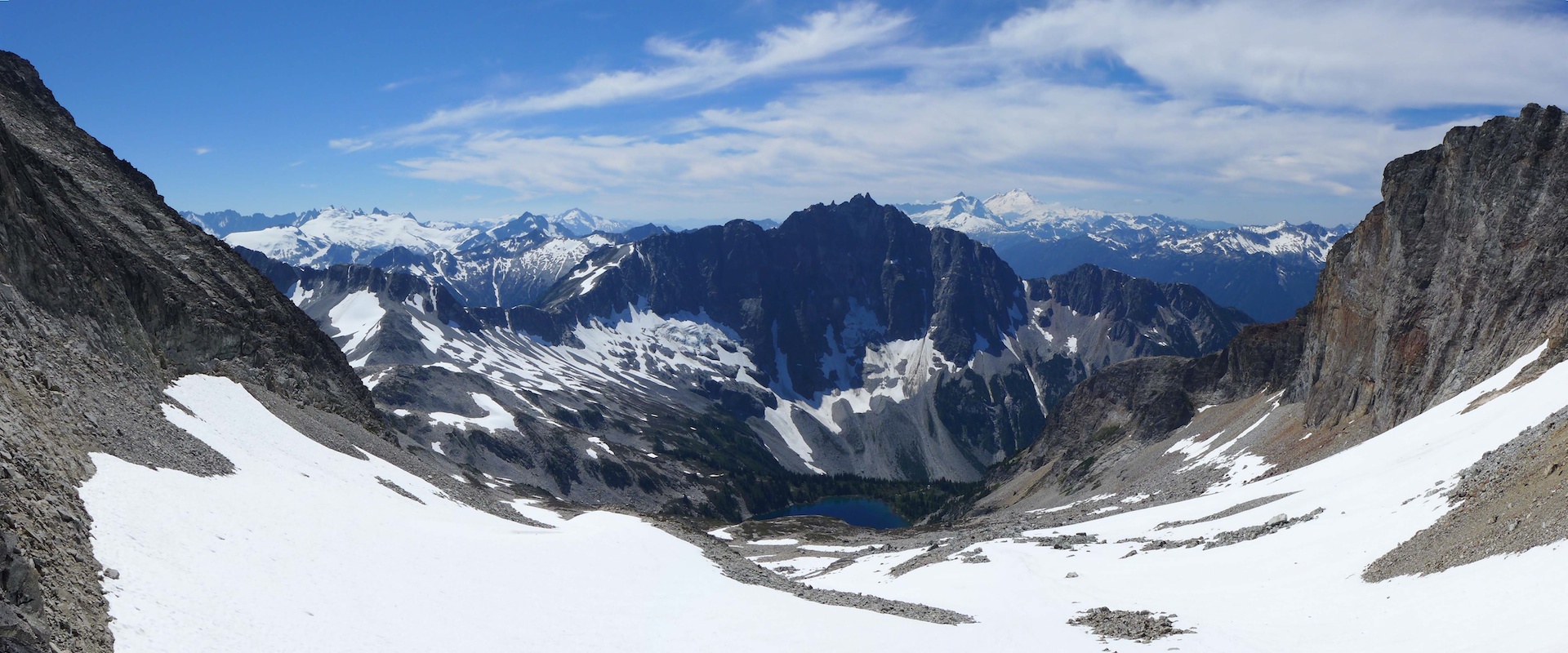
A View to a Lake
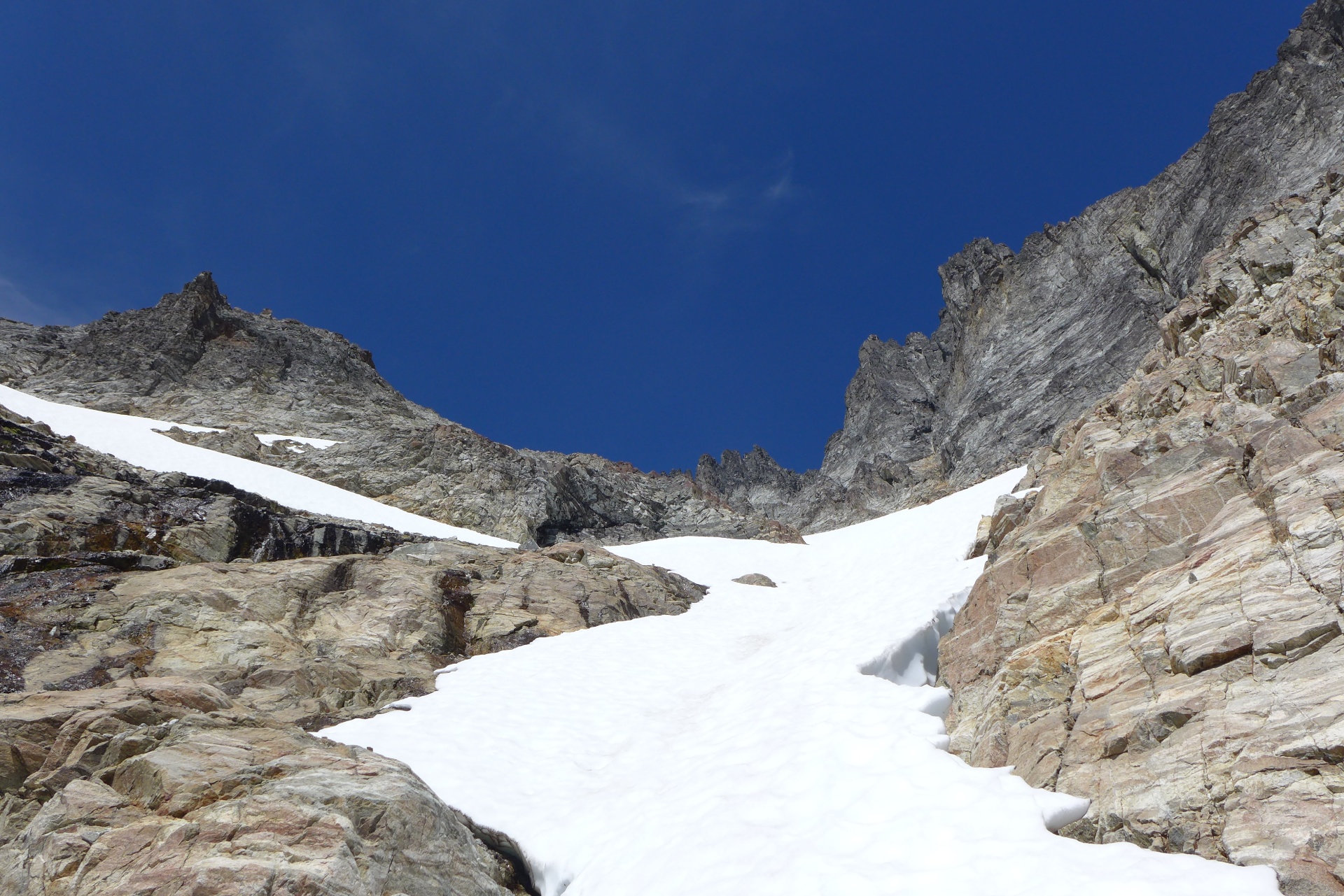
View from the Pass

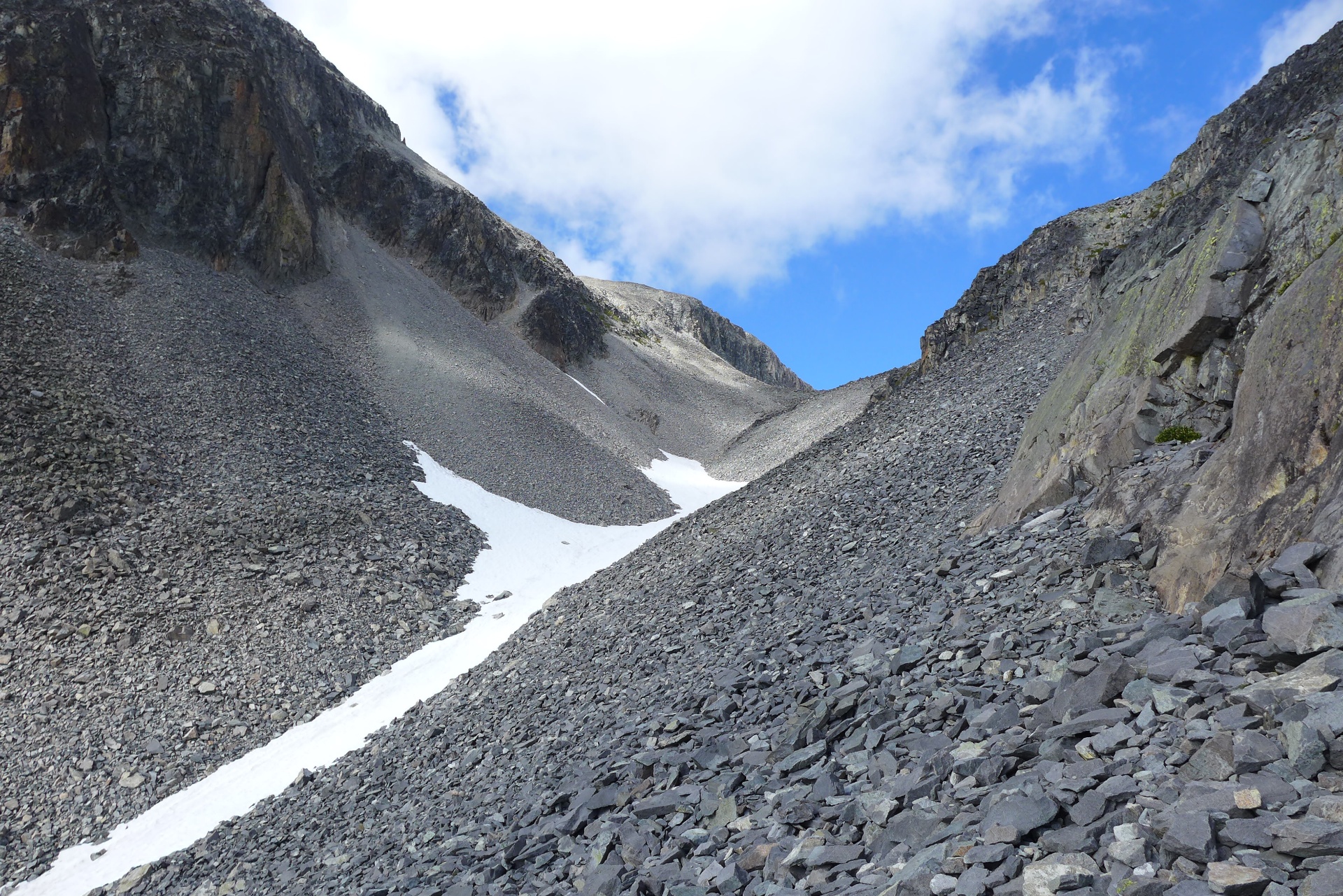
Descending from Point 6855
Mapa de Mount Edgar, Fraser Valley E, BC V0X, Canadá
Buscar otro lugar
Lugares cercanos
Nodoubt Peak, Washington, EE. UU.
Little Chilliwack Campground, Rockport, WA, Estados Unidos
Bear Creek Campground, Rockport, WA, Estados Unidos
Mount Redoubt, Mt Redoubt, Washington, EE. UU.
Bear Mountain, Washington, EE. UU.
Mount Lindeman, Fraser Valley E, BC V0X, Canadá
Indian Creek Campground, Rockport, WA, Estados Unidos
MacDonald Peak, Fraser Valley E, BC V0X, Canadá
Middle Peak, Washington, EE. UU.
Indian Mountain, Washington, EE. UU.
Red Face Mountain, Washington, EE. UU.
Copper Mountain, Washington, EE. UU.
Whatcom Campground, Rockport, WA, Estados Unidos
Graybeal Campground, Rockport, WA, Estados Unidos
U.S. Cabin Campground, Washington, Estados Unidos
Rexford South Peak, Fraser Valley E, BC V0X, Canadá
Silesia Ridge, Washington, EE. UU.
Mount Rexford, Fraser Valley E, BC V0X, Canadá
Station D Peak, Fraser Valley E, BC V0X, Canadá
Slesse Mountain, Fraser Valley E, BC V0X, Canadá
Búsquedas recientes
- Horas de salida y puesta de sol de Red Dog Mine, AK, USA
- Horas de salida y puesta de sol de Am Bahnhof, Am bhf, Borken, Germany
- Horas de salida y puesta de sol de 4th St E, Sonoma, CA, EE. UU.
- Horas de salida y puesta de sol de Oakland Ave, Williamsport, PA, EE. UU.
- Horas de salida y puesta de sol de Via Roma, Pieranica CR, Italia
- Horas de salida y puesta de sol de Torre del reloj, Grad, Dubrovnik (Ragusa), Croacia
- Horas de salida y puesta de sol de Trelew, Chubut, Argentina
- Horas de salida y puesta de sol de Hartfords Bluff Cir, Mt Pleasant, SC, EE. UU.
- Horas de salida y puesta de sol de Kita Ward, Kumamoto, Japón
- Horas de salida y puesta de sol de Pingtan Island, Pingtan County, Fuzhou, China