Horas de salida y puesta de sol de Moki Dugway, UT-, Mexican Hat, UT, EE. UU.
Location: Estados Unidos > Utah > Condado de San Juan >
Zona horaria:
America/Denver
Hora local:
2025-07-10 02:36:37
Longitud:
-109.9395635
Latitud:
37.2739833
Salida de sol de hoy:
06:08:26 AM
Puesta de sol de hoy:
08:42:06 PM
La duración del día hoy:
14h 33m 40s
Salida de sol de mañana:
06:09:05 AM
Puesta de sol de mañana:
08:41:43 PM
La duración del día mañana:
14h 32m 38s
Mostrar todas las fechas
| Fecha | Salida de sol | Puesta de sol | Duración del día |
|---|---|---|---|
| 01/01/2025 | 07:33:53 AM | 05:14:01 PM | 9h 40m 8s |
| 02/01/2025 | 07:33:58 AM | 05:14:50 PM | 9h 40m 52s |
| 03/01/2025 | 07:34:02 AM | 05:15:41 PM | 9h 41m 39s |
| 04/01/2025 | 07:34:03 AM | 05:16:33 PM | 9h 42m 30s |
| 05/01/2025 | 07:34:03 AM | 05:17:26 PM | 9h 43m 23s |
| 06/01/2025 | 07:34:00 AM | 05:18:21 PM | 9h 44m 21s |
| 07/01/2025 | 07:33:56 AM | 05:19:16 PM | 9h 45m 20s |
| 08/01/2025 | 07:33:49 AM | 05:20:12 PM | 9h 46m 23s |
| 09/01/2025 | 07:33:40 AM | 05:21:09 PM | 9h 47m 29s |
| 10/01/2025 | 07:33:29 AM | 05:22:07 PM | 9h 48m 38s |
| 11/01/2025 | 07:33:17 AM | 05:23:06 PM | 9h 49m 49s |
| 12/01/2025 | 07:33:02 AM | 05:24:06 PM | 9h 51m 4s |
| 13/01/2025 | 07:32:45 AM | 05:25:06 PM | 9h 52m 21s |
| 14/01/2025 | 07:32:26 AM | 05:26:07 PM | 9h 53m 41s |
| 15/01/2025 | 07:32:05 AM | 05:27:09 PM | 9h 55m 4s |
| 16/01/2025 | 07:31:43 AM | 05:28:11 PM | 9h 56m 28s |
| 17/01/2025 | 07:31:18 AM | 05:29:14 PM | 9h 57m 56s |
| 18/01/2025 | 07:30:51 AM | 05:30:17 PM | 9h 59m 26s |
| 19/01/2025 | 07:30:22 AM | 05:31:21 PM | 10h 0m 59s |
| 20/01/2025 | 07:29:52 AM | 05:32:25 PM | 10h 2m 33s |
| 21/01/2025 | 07:29:19 AM | 05:33:30 PM | 10h 4m 11s |
| 22/01/2025 | 07:28:45 AM | 05:34:34 PM | 10h 5m 49s |
| 23/01/2025 | 07:28:09 AM | 05:35:39 PM | 10h 7m 30s |
| 24/01/2025 | 07:27:31 AM | 05:36:45 PM | 10h 9m 14s |
| 25/01/2025 | 07:26:51 AM | 05:37:50 PM | 10h 10m 59s |
| 26/01/2025 | 07:26:10 AM | 05:38:56 PM | 10h 12m 46s |
| 27/01/2025 | 07:25:27 AM | 05:40:02 PM | 10h 14m 35s |
| 28/01/2025 | 07:24:42 AM | 05:41:07 PM | 10h 16m 25s |
| 29/01/2025 | 07:23:55 AM | 05:42:13 PM | 10h 18m 18s |
| 30/01/2025 | 07:23:07 AM | 05:43:19 PM | 10h 20m 12s |
| 31/01/2025 | 07:22:17 AM | 05:44:25 PM | 10h 22m 8s |
| 01/02/2025 | 07:21:25 AM | 05:45:31 PM | 10h 24m 6s |
| 02/02/2025 | 07:20:32 AM | 05:46:37 PM | 10h 26m 5s |
| 03/02/2025 | 07:19:38 AM | 05:47:43 PM | 10h 28m 5s |
| 04/02/2025 | 07:18:42 AM | 05:48:48 PM | 10h 30m 6s |
| 05/02/2025 | 07:17:44 AM | 05:49:54 PM | 10h 32m 10s |
| 06/02/2025 | 07:16:45 AM | 05:50:59 PM | 10h 34m 14s |
| 07/02/2025 | 07:15:45 AM | 05:52:04 PM | 10h 36m 19s |
| 08/02/2025 | 07:14:43 AM | 05:53:09 PM | 10h 38m 26s |
| 09/02/2025 | 07:13:40 AM | 05:54:14 PM | 10h 40m 34s |
| 10/02/2025 | 07:12:35 AM | 05:55:18 PM | 10h 42m 43s |
| 11/02/2025 | 07:11:30 AM | 05:56:22 PM | 10h 44m 52s |
| 12/02/2025 | 07:10:23 AM | 05:57:26 PM | 10h 47m 3s |
| 13/02/2025 | 07:09:15 AM | 05:58:30 PM | 10h 49m 15s |
| 14/02/2025 | 07:08:05 AM | 05:59:34 PM | 10h 51m 29s |
| 15/02/2025 | 07:06:55 AM | 06:00:37 PM | 10h 53m 42s |
| 16/02/2025 | 07:05:43 AM | 06:01:40 PM | 10h 55m 57s |
| 17/02/2025 | 07:04:31 AM | 06:02:42 PM | 10h 58m 11s |
| 18/02/2025 | 07:03:17 AM | 06:03:44 PM | 11h 0m 27s |
| 19/02/2025 | 07:02:02 AM | 06:04:46 PM | 11h 2m 44s |
| 20/02/2025 | 07:00:46 AM | 06:05:48 PM | 11h 5m 2s |
| 21/02/2025 | 06:59:30 AM | 06:06:49 PM | 11h 7m 19s |
| 22/02/2025 | 06:58:12 AM | 06:07:50 PM | 11h 9m 38s |
| 23/02/2025 | 06:56:54 AM | 06:08:51 PM | 11h 11m 57s |
| 24/02/2025 | 06:55:35 AM | 06:09:51 PM | 11h 14m 16s |
| 25/02/2025 | 06:54:15 AM | 06:10:51 PM | 11h 16m 36s |
| 26/02/2025 | 06:52:54 AM | 06:11:51 PM | 11h 18m 57s |
| 27/02/2025 | 06:51:32 AM | 06:12:50 PM | 11h 21m 18s |
| 28/02/2025 | 06:50:10 AM | 06:13:49 PM | 11h 23m 39s |
| 01/03/2025 | 06:48:47 AM | 06:14:48 PM | 11h 26m 1s |
| 02/03/2025 | 06:47:23 AM | 06:15:46 PM | 11h 28m 23s |
| 03/03/2025 | 06:45:59 AM | 06:16:44 PM | 11h 30m 45s |
| 04/03/2025 | 06:44:34 AM | 06:17:42 PM | 11h 33m 8s |
| 05/03/2025 | 06:43:09 AM | 06:18:40 PM | 11h 35m 31s |
| 06/03/2025 | 06:41:43 AM | 06:19:37 PM | 11h 37m 54s |
| 07/03/2025 | 06:40:17 AM | 06:20:34 PM | 11h 40m 17s |
| 08/03/2025 | 06:38:50 AM | 06:21:30 PM | 11h 42m 40s |
| 09/03/2025 | 07:37:26 AM | 07:22:25 PM | 11h 44m 59s |
| 10/03/2025 | 07:35:59 AM | 07:23:21 PM | 11h 47m 22s |
| 11/03/2025 | 07:34:30 AM | 07:24:17 PM | 11h 49m 47s |
| 12/03/2025 | 07:33:02 AM | 07:25:13 PM | 11h 52m 11s |
| 13/03/2025 | 07:31:33 AM | 07:26:08 PM | 11h 54m 35s |
| 14/03/2025 | 07:30:04 AM | 07:27:04 PM | 11h 57m 0s |
| 15/03/2025 | 07:28:35 AM | 07:27:59 PM | 11h 59m 24s |
| 16/03/2025 | 07:27:06 AM | 07:28:54 PM | 12h 1m 48s |
| 17/03/2025 | 07:25:36 AM | 07:29:48 PM | 12h 4m 12s |
| 18/03/2025 | 07:24:06 AM | 07:30:43 PM | 12h 6m 37s |
| 19/03/2025 | 07:22:37 AM | 07:31:38 PM | 12h 9m 1s |
| 20/03/2025 | 07:21:07 AM | 07:32:32 PM | 12h 11m 25s |
| 21/03/2025 | 07:19:37 AM | 07:33:26 PM | 12h 13m 49s |
| 22/03/2025 | 07:18:06 AM | 07:34:20 PM | 12h 16m 14s |
| 23/03/2025 | 07:16:36 AM | 07:35:14 PM | 12h 18m 38s |
| 24/03/2025 | 07:15:06 AM | 07:36:08 PM | 12h 21m 2s |
| 25/03/2025 | 07:13:36 AM | 07:37:02 PM | 12h 23m 26s |
| 26/03/2025 | 07:12:06 AM | 07:37:56 PM | 12h 25m 50s |
| 27/03/2025 | 07:10:37 AM | 07:38:49 PM | 12h 28m 12s |
| 28/03/2025 | 07:09:07 AM | 07:39:43 PM | 12h 30m 36s |
| 29/03/2025 | 07:07:37 AM | 07:40:36 PM | 12h 32m 59s |
| 30/03/2025 | 07:06:08 AM | 07:41:30 PM | 12h 35m 22s |
| 31/03/2025 | 07:04:39 AM | 07:42:23 PM | 12h 37m 44s |
| 01/04/2025 | 07:03:10 AM | 07:43:17 PM | 12h 40m 7s |
| 02/04/2025 | 07:01:42 AM | 07:44:10 PM | 12h 42m 28s |
| 03/04/2025 | 07:00:13 AM | 07:45:04 PM | 12h 44m 51s |
| 04/04/2025 | 06:58:46 AM | 07:45:57 PM | 12h 47m 11s |
| 05/04/2025 | 06:57:18 AM | 07:46:51 PM | 12h 49m 33s |
| 06/04/2025 | 06:55:51 AM | 07:47:44 PM | 12h 51m 53s |
| 07/04/2025 | 06:54:24 AM | 07:48:37 PM | 12h 54m 13s |
| 08/04/2025 | 06:52:58 AM | 07:49:31 PM | 12h 56m 33s |
| 09/04/2025 | 06:51:33 AM | 07:50:24 PM | 12h 58m 51s |
| 10/04/2025 | 06:50:08 AM | 07:51:18 PM | 13h 1m 10s |
| 11/04/2025 | 06:48:43 AM | 07:52:12 PM | 13h 3m 29s |
| 12/04/2025 | 06:47:19 AM | 07:53:05 PM | 13h 5m 46s |
| 13/04/2025 | 06:45:56 AM | 07:53:59 PM | 13h 8m 3s |
| 14/04/2025 | 06:44:33 AM | 07:54:53 PM | 13h 10m 20s |
| 15/04/2025 | 06:43:11 AM | 07:55:47 PM | 13h 12m 36s |
| 16/04/2025 | 06:41:50 AM | 07:56:40 PM | 13h 14m 50s |
| 17/04/2025 | 06:40:29 AM | 07:57:34 PM | 13h 17m 5s |
| 18/04/2025 | 06:39:09 AM | 07:58:28 PM | 13h 19m 19s |
| 19/04/2025 | 06:37:50 AM | 07:59:22 PM | 13h 21m 32s |
| 20/04/2025 | 06:36:32 AM | 08:00:16 PM | 13h 23m 44s |
| 21/04/2025 | 06:35:15 AM | 08:01:10 PM | 13h 25m 55s |
| 22/04/2025 | 06:33:58 AM | 08:02:04 PM | 13h 28m 6s |
| 23/04/2025 | 06:32:43 AM | 08:02:58 PM | 13h 30m 15s |
| 24/04/2025 | 06:31:28 AM | 08:03:52 PM | 13h 32m 24s |
| 25/04/2025 | 06:30:14 AM | 08:04:46 PM | 13h 34m 32s |
| 26/04/2025 | 06:29:02 AM | 08:05:40 PM | 13h 36m 38s |
| 27/04/2025 | 06:27:50 AM | 08:06:34 PM | 13h 38m 44s |
| 28/04/2025 | 06:26:40 AM | 08:07:29 PM | 13h 40m 49s |
| 29/04/2025 | 06:25:30 AM | 08:08:23 PM | 13h 42m 53s |
| 30/04/2025 | 06:24:22 AM | 08:09:16 PM | 13h 44m 54s |
| 01/05/2025 | 06:23:15 AM | 08:10:10 PM | 13h 46m 55s |
| 02/05/2025 | 06:22:09 AM | 08:11:04 PM | 13h 48m 55s |
| 03/05/2025 | 06:21:04 AM | 08:11:58 PM | 13h 50m 54s |
| 04/05/2025 | 06:20:00 AM | 08:12:51 PM | 13h 52m 51s |
| 05/05/2025 | 06:18:58 AM | 08:13:45 PM | 13h 54m 47s |
| 06/05/2025 | 06:17:57 AM | 08:14:38 PM | 13h 56m 41s |
| 07/05/2025 | 06:16:57 AM | 08:15:31 PM | 13h 58m 34s |
| 08/05/2025 | 06:15:59 AM | 08:16:24 PM | 14h 0m 25s |
| 09/05/2025 | 06:15:02 AM | 08:17:17 PM | 14h 2m 15s |
| 10/05/2025 | 06:14:07 AM | 08:18:09 PM | 14h 4m 2s |
| 11/05/2025 | 06:13:12 AM | 08:19:01 PM | 14h 5m 49s |
| 12/05/2025 | 06:12:20 AM | 08:19:53 PM | 14h 7m 33s |
| 13/05/2025 | 06:11:29 AM | 08:20:45 PM | 14h 9m 16s |
| 14/05/2025 | 06:10:39 AM | 08:21:36 PM | 14h 10m 57s |
| 15/05/2025 | 06:09:51 AM | 08:22:26 PM | 14h 12m 35s |
| 16/05/2025 | 06:09:04 AM | 08:23:17 PM | 14h 14m 13s |
| 17/05/2025 | 06:08:19 AM | 08:24:07 PM | 14h 15m 48s |
| 18/05/2025 | 06:07:35 AM | 08:24:56 PM | 14h 17m 21s |
| 19/05/2025 | 06:06:53 AM | 08:25:45 PM | 14h 18m 52s |
| 20/05/2025 | 06:06:13 AM | 08:26:33 PM | 14h 20m 20s |
| 21/05/2025 | 06:05:34 AM | 08:27:21 PM | 14h 21m 47s |
| 22/05/2025 | 06:04:57 AM | 08:28:08 PM | 14h 23m 11s |
| 23/05/2025 | 06:04:22 AM | 08:28:55 PM | 14h 24m 33s |
| 24/05/2025 | 06:03:48 AM | 08:29:40 PM | 14h 25m 52s |
| 25/05/2025 | 06:03:16 AM | 08:30:25 PM | 14h 27m 9s |
| 26/05/2025 | 06:02:46 AM | 08:31:10 PM | 14h 28m 24s |
| 27/05/2025 | 06:02:18 AM | 08:31:53 PM | 14h 29m 35s |
| 28/05/2025 | 06:01:51 AM | 08:32:36 PM | 14h 30m 45s |
| 29/05/2025 | 06:01:26 AM | 08:33:17 PM | 14h 31m 51s |
| 30/05/2025 | 06:01:03 AM | 08:33:58 PM | 14h 32m 55s |
| 31/05/2025 | 06:00:41 AM | 08:34:38 PM | 14h 33m 57s |
| 01/06/2025 | 06:00:21 AM | 08:35:17 PM | 14h 34m 56s |
| 02/06/2025 | 06:00:04 AM | 08:35:55 PM | 14h 35m 51s |
| 03/06/2025 | 05:59:47 AM | 08:36:32 PM | 14h 36m 45s |
| 04/06/2025 | 05:59:33 AM | 08:37:07 PM | 14h 37m 34s |
| 05/06/2025 | 05:59:20 AM | 08:37:42 PM | 14h 38m 22s |
| 06/06/2025 | 05:59:10 AM | 08:38:15 PM | 14h 39m 5s |
| 07/06/2025 | 05:59:00 AM | 08:38:47 PM | 14h 39m 47s |
| 08/06/2025 | 05:58:53 AM | 08:39:18 PM | 14h 40m 25s |
| 09/06/2025 | 05:58:48 AM | 08:39:47 PM | 14h 40m 59s |
| 10/06/2025 | 05:58:44 AM | 08:40:16 PM | 14h 41m 32s |
| 11/06/2025 | 05:58:42 AM | 08:40:42 PM | 14h 42m 0s |
| 12/06/2025 | 05:58:42 AM | 08:41:08 PM | 14h 42m 26s |
| 13/06/2025 | 05:58:43 AM | 08:41:32 PM | 14h 42m 49s |
| 14/06/2025 | 05:58:46 AM | 08:41:54 PM | 14h 43m 8s |
| 15/06/2025 | 05:58:51 AM | 08:42:15 PM | 14h 43m 24s |
| 16/06/2025 | 05:58:57 AM | 08:42:35 PM | 14h 43m 38s |
| 17/06/2025 | 05:59:06 AM | 08:42:53 PM | 14h 43m 47s |
| 18/06/2025 | 05:59:15 AM | 08:43:09 PM | 14h 43m 54s |
| 19/06/2025 | 05:59:27 AM | 08:43:24 PM | 14h 43m 57s |
| 20/06/2025 | 05:59:40 AM | 08:43:37 PM | 14h 43m 57s |
| 21/06/2025 | 05:59:54 AM | 08:43:49 PM | 14h 43m 55s |
| 22/06/2025 | 06:00:10 AM | 08:43:58 PM | 14h 43m 48s |
| 23/06/2025 | 06:00:28 AM | 08:44:07 PM | 14h 43m 39s |
| 24/06/2025 | 06:00:47 AM | 08:44:13 PM | 14h 43m 26s |
| 25/06/2025 | 06:01:08 AM | 08:44:18 PM | 14h 43m 10s |
| 26/06/2025 | 06:01:30 AM | 08:44:21 PM | 14h 42m 51s |
| 27/06/2025 | 06:01:53 AM | 08:44:22 PM | 14h 42m 29s |
| 28/06/2025 | 06:02:18 AM | 08:44:21 PM | 14h 42m 3s |
| 29/06/2025 | 06:02:44 AM | 08:44:19 PM | 14h 41m 35s |
| 30/06/2025 | 06:03:11 AM | 08:44:14 PM | 14h 41m 3s |
| 01/07/2025 | 06:03:40 AM | 08:44:08 PM | 14h 40m 28s |
| 02/07/2025 | 06:04:10 AM | 08:44:01 PM | 14h 39m 51s |
| 03/07/2025 | 06:04:41 AM | 08:43:51 PM | 14h 39m 10s |
| 04/07/2025 | 06:05:13 AM | 08:43:40 PM | 14h 38m 27s |
| 05/07/2025 | 06:05:46 AM | 08:43:26 PM | 14h 37m 40s |
| 06/07/2025 | 06:06:21 AM | 08:43:11 PM | 14h 36m 50s |
| 07/07/2025 | 06:06:56 AM | 08:42:54 PM | 14h 35m 58s |
| 08/07/2025 | 06:07:33 AM | 08:42:36 PM | 14h 35m 3s |
| 09/07/2025 | 06:08:10 AM | 08:42:15 PM | 14h 34m 5s |
| 10/07/2025 | 06:08:48 AM | 08:41:53 PM | 14h 33m 5s |
| 11/07/2025 | 06:09:28 AM | 08:41:29 PM | 14h 32m 1s |
| 12/07/2025 | 06:10:08 AM | 08:41:03 PM | 14h 30m 55s |
| 13/07/2025 | 06:10:48 AM | 08:40:35 PM | 14h 29m 47s |
| 14/07/2025 | 06:11:30 AM | 08:40:05 PM | 14h 28m 35s |
| 15/07/2025 | 06:12:12 AM | 08:39:34 PM | 14h 27m 22s |
| 16/07/2025 | 06:12:56 AM | 08:39:01 PM | 14h 26m 5s |
| 17/07/2025 | 06:13:39 AM | 08:38:27 PM | 14h 24m 48s |
| 18/07/2025 | 06:14:24 AM | 08:37:50 PM | 14h 23m 26s |
| 19/07/2025 | 06:15:09 AM | 08:37:12 PM | 14h 22m 3s |
| 20/07/2025 | 06:15:54 AM | 08:36:32 PM | 14h 20m 38s |
| 21/07/2025 | 06:16:40 AM | 08:35:51 PM | 14h 19m 11s |
| 22/07/2025 | 06:17:27 AM | 08:35:08 PM | 14h 17m 41s |
| 23/07/2025 | 06:18:14 AM | 08:34:23 PM | 14h 16m 9s |
| 24/07/2025 | 06:19:01 AM | 08:33:37 PM | 14h 14m 36s |
| 25/07/2025 | 06:19:49 AM | 08:32:49 PM | 14h 13m 0s |
| 26/07/2025 | 06:20:37 AM | 08:31:59 PM | 14h 11m 22s |
| 27/07/2025 | 06:21:25 AM | 08:31:08 PM | 14h 9m 43s |
| 28/07/2025 | 06:22:14 AM | 08:30:16 PM | 14h 8m 2s |
| 29/07/2025 | 06:23:03 AM | 08:29:22 PM | 14h 6m 19s |
| 30/07/2025 | 06:23:52 AM | 08:28:26 PM | 14h 4m 34s |
| 31/07/2025 | 06:24:42 AM | 08:27:29 PM | 14h 2m 47s |
| 01/08/2025 | 06:25:32 AM | 08:26:31 PM | 14h 0m 59s |
| 02/08/2025 | 06:26:21 AM | 08:25:31 PM | 13h 59m 10s |
| 03/08/2025 | 06:27:11 AM | 08:24:30 PM | 13h 57m 19s |
| 04/08/2025 | 06:28:02 AM | 08:23:28 PM | 13h 55m 26s |
| 05/08/2025 | 06:28:52 AM | 08:22:24 PM | 13h 53m 32s |
| 06/08/2025 | 06:29:42 AM | 08:21:19 PM | 13h 51m 37s |
| 07/08/2025 | 06:30:33 AM | 08:20:13 PM | 13h 49m 40s |
| 08/08/2025 | 06:31:23 AM | 08:19:05 PM | 13h 47m 42s |
| 09/08/2025 | 06:32:14 AM | 08:17:57 PM | 13h 45m 43s |
| 10/08/2025 | 06:33:04 AM | 08:16:47 PM | 13h 43m 43s |
| 11/08/2025 | 06:33:55 AM | 08:15:36 PM | 13h 41m 41s |
| 12/08/2025 | 06:34:45 AM | 08:14:24 PM | 13h 39m 39s |
| 13/08/2025 | 06:35:36 AM | 08:13:11 PM | 13h 37m 35s |
| 14/08/2025 | 06:36:26 AM | 08:11:56 PM | 13h 35m 30s |
| 15/08/2025 | 06:37:17 AM | 08:10:41 PM | 13h 33m 24s |
| 16/08/2025 | 06:38:07 AM | 08:09:25 PM | 13h 31m 18s |
| 17/08/2025 | 06:38:57 AM | 08:08:08 PM | 13h 29m 11s |
| 18/08/2025 | 06:39:48 AM | 08:06:50 PM | 13h 27m 2s |
| 19/08/2025 | 06:40:38 AM | 08:05:31 PM | 13h 24m 53s |
| 20/08/2025 | 06:41:28 AM | 08:04:11 PM | 13h 22m 43s |
| 21/08/2025 | 06:42:18 AM | 08:02:50 PM | 13h 20m 32s |
| 22/08/2025 | 06:43:08 AM | 08:01:29 PM | 13h 18m 21s |
| 23/08/2025 | 06:43:58 AM | 08:00:07 PM | 13h 16m 9s |
| 24/08/2025 | 06:44:48 AM | 07:58:44 PM | 13h 13m 56s |
| 25/08/2025 | 06:45:38 AM | 07:57:20 PM | 13h 11m 42s |
| 26/08/2025 | 06:46:28 AM | 07:55:55 PM | 13h 9m 27s |
| 27/08/2025 | 06:47:17 AM | 07:54:30 PM | 13h 7m 13s |
| 28/08/2025 | 06:48:07 AM | 07:53:04 PM | 13h 4m 57s |
| 29/08/2025 | 06:48:57 AM | 07:51:38 PM | 13h 2m 41s |
| 30/08/2025 | 06:49:46 AM | 07:50:11 PM | 13h 0m 25s |
| 31/08/2025 | 06:50:35 AM | 07:48:44 PM | 12h 58m 9s |
| 01/09/2025 | 06:51:25 AM | 07:47:16 PM | 12h 55m 51s |
| 02/09/2025 | 06:52:14 AM | 07:45:47 PM | 12h 53m 33s |
| 03/09/2025 | 06:53:03 AM | 07:44:18 PM | 12h 51m 15s |
| 04/09/2025 | 06:53:52 AM | 07:42:49 PM | 12h 48m 57s |
| 05/09/2025 | 06:54:41 AM | 07:41:19 PM | 12h 46m 38s |
| 06/09/2025 | 06:55:31 AM | 07:39:49 PM | 12h 44m 18s |
| 07/09/2025 | 06:56:20 AM | 07:38:19 PM | 12h 41m 59s |
| 08/09/2025 | 06:57:09 AM | 07:36:48 PM | 12h 39m 39s |
| 09/09/2025 | 06:57:58 AM | 07:35:17 PM | 12h 37m 19s |
| 10/09/2025 | 06:58:47 AM | 07:33:45 PM | 12h 34m 58s |
| 11/09/2025 | 06:59:36 AM | 07:32:14 PM | 12h 32m 38s |
| 12/09/2025 | 07:00:25 AM | 07:30:42 PM | 12h 30m 17s |
| 13/09/2025 | 07:01:14 AM | 07:29:10 PM | 12h 27m 56s |
| 14/09/2025 | 07:02:04 AM | 07:27:38 PM | 12h 25m 34s |
| 15/09/2025 | 07:02:53 AM | 07:26:06 PM | 12h 23m 13s |
| 16/09/2025 | 07:03:42 AM | 07:24:34 PM | 12h 20m 52s |
| 17/09/2025 | 07:04:32 AM | 07:23:01 PM | 12h 18m 29s |
| 18/09/2025 | 07:05:21 AM | 07:21:29 PM | 12h 16m 8s |
| 19/09/2025 | 07:06:11 AM | 07:19:57 PM | 12h 13m 46s |
| 20/09/2025 | 07:07:01 AM | 07:18:24 PM | 12h 11m 23s |
| 21/09/2025 | 07:07:51 AM | 07:16:52 PM | 12h 9m 1s |
| 22/09/2025 | 07:08:41 AM | 07:15:20 PM | 12h 6m 39s |
| 23/09/2025 | 07:09:31 AM | 07:13:48 PM | 12h 4m 17s |
| 24/09/2025 | 07:10:21 AM | 07:12:16 PM | 12h 1m 55s |
| 25/09/2025 | 07:11:12 AM | 07:10:44 PM | 11h 59m 32s |
| 26/09/2025 | 07:12:02 AM | 07:09:13 PM | 11h 57m 11s |
| 27/09/2025 | 07:12:53 AM | 07:07:42 PM | 11h 54m 49s |
| 28/09/2025 | 07:13:44 AM | 07:06:11 PM | 11h 52m 27s |
| 29/09/2025 | 07:14:35 AM | 07:04:40 PM | 11h 50m 5s |
| 30/09/2025 | 07:15:27 AM | 07:03:10 PM | 11h 47m 43s |
| 01/10/2025 | 07:16:19 AM | 07:01:40 PM | 11h 45m 21s |
| 02/10/2025 | 07:17:11 AM | 07:00:10 PM | 11h 42m 59s |
| 03/10/2025 | 07:18:03 AM | 06:58:41 PM | 11h 40m 38s |
| 04/10/2025 | 07:18:56 AM | 06:57:12 PM | 11h 38m 16s |
| 05/10/2025 | 07:19:49 AM | 06:55:44 PM | 11h 35m 55s |
| 06/10/2025 | 07:20:42 AM | 06:54:16 PM | 11h 33m 34s |
| 07/10/2025 | 07:21:35 AM | 06:52:49 PM | 11h 31m 14s |
| 08/10/2025 | 07:22:29 AM | 06:51:23 PM | 11h 28m 54s |
| 09/10/2025 | 07:23:23 AM | 06:49:57 PM | 11h 26m 34s |
| 10/10/2025 | 07:24:17 AM | 06:48:31 PM | 11h 24m 14s |
| 11/10/2025 | 07:25:12 AM | 06:47:06 PM | 11h 21m 54s |
| 12/10/2025 | 07:26:07 AM | 06:45:42 PM | 11h 19m 35s |
| 13/10/2025 | 07:27:02 AM | 06:44:19 PM | 11h 17m 17s |
| 14/10/2025 | 07:27:58 AM | 06:42:57 PM | 11h 14m 59s |
| 15/10/2025 | 07:28:54 AM | 06:41:35 PM | 11h 12m 41s |
| 16/10/2025 | 07:29:50 AM | 06:40:14 PM | 11h 10m 24s |
| 17/10/2025 | 07:30:47 AM | 06:38:54 PM | 11h 8m 7s |
| 18/10/2025 | 07:31:44 AM | 06:37:35 PM | 11h 5m 51s |
| 19/10/2025 | 07:32:41 AM | 06:36:17 PM | 11h 3m 36s |
| 20/10/2025 | 07:33:39 AM | 06:35:00 PM | 11h 1m 21s |
| 21/10/2025 | 07:34:37 AM | 06:33:43 PM | 10h 59m 6s |
| 22/10/2025 | 07:35:36 AM | 06:32:28 PM | 10h 56m 52s |
| 23/10/2025 | 07:36:35 AM | 06:31:14 PM | 10h 54m 39s |
| 24/10/2025 | 07:37:34 AM | 06:30:01 PM | 10h 52m 27s |
| 25/10/2025 | 07:38:33 AM | 06:28:49 PM | 10h 50m 16s |
| 26/10/2025 | 07:39:33 AM | 06:27:38 PM | 10h 48m 5s |
| 27/10/2025 | 07:40:33 AM | 06:26:28 PM | 10h 45m 55s |
| 28/10/2025 | 07:41:33 AM | 06:25:20 PM | 10h 43m 47s |
| 29/10/2025 | 07:42:34 AM | 06:24:13 PM | 10h 41m 39s |
| 30/10/2025 | 07:43:35 AM | 06:23:07 PM | 10h 39m 32s |
| 31/10/2025 | 07:44:36 AM | 06:22:02 PM | 10h 37m 26s |
| 01/11/2025 | 07:45:38 AM | 06:20:59 PM | 10h 35m 21s |
| 02/11/2025 | 06:46:42 AM | 05:19:55 PM | 10h 33m 13s |
| 03/11/2025 | 06:47:44 AM | 05:18:55 PM | 10h 31m 11s |
| 04/11/2025 | 06:48:46 AM | 05:17:56 PM | 10h 29m 10s |
| 05/11/2025 | 06:49:49 AM | 05:16:58 PM | 10h 27m 9s |
| 06/11/2025 | 06:50:51 AM | 05:16:02 PM | 10h 25m 11s |
| 07/11/2025 | 06:51:54 AM | 05:15:08 PM | 10h 23m 14s |
| 08/11/2025 | 06:52:56 AM | 05:14:15 PM | 10h 21m 19s |
| 09/11/2025 | 06:53:59 AM | 05:13:24 PM | 10h 19m 25s |
| 10/11/2025 | 06:55:02 AM | 05:12:35 PM | 10h 17m 33s |
| 11/11/2025 | 06:56:05 AM | 05:11:47 PM | 10h 15m 42s |
| 12/11/2025 | 06:57:08 AM | 05:11:01 PM | 10h 13m 53s |
| 13/11/2025 | 06:58:11 AM | 05:10:16 PM | 10h 12m 5s |
| 14/11/2025 | 06:59:14 AM | 05:09:34 PM | 10h 10m 20s |
| 15/11/2025 | 07:00:16 AM | 05:08:53 PM | 10h 8m 37s |
| 16/11/2025 | 07:01:19 AM | 05:08:14 PM | 10h 6m 55s |
| 17/11/2025 | 07:02:21 AM | 05:07:37 PM | 10h 5m 16s |
| 18/11/2025 | 07:03:24 AM | 05:07:01 PM | 10h 3m 37s |
| 19/11/2025 | 07:04:26 AM | 05:06:28 PM | 10h 2m 2s |
| 20/11/2025 | 07:05:27 AM | 05:05:56 PM | 10h 0m 29s |
| 21/11/2025 | 07:06:29 AM | 05:05:27 PM | 9h 58m 58s |
| 22/11/2025 | 07:07:30 AM | 05:04:59 PM | 9h 57m 29s |
| 23/11/2025 | 07:08:30 AM | 05:04:33 PM | 9h 56m 3s |
| 24/11/2025 | 07:09:30 AM | 05:04:10 PM | 9h 54m 40s |
| 25/11/2025 | 07:10:30 AM | 05:03:48 PM | 9h 53m 18s |
| 26/11/2025 | 07:11:29 AM | 05:03:28 PM | 9h 51m 59s |
| 27/11/2025 | 07:12:27 AM | 05:03:11 PM | 9h 50m 44s |
| 28/11/2025 | 07:13:25 AM | 05:02:55 PM | 9h 49m 30s |
| 29/11/2025 | 07:14:22 AM | 05:02:41 PM | 9h 48m 19s |
| 30/11/2025 | 07:15:18 AM | 05:02:30 PM | 9h 47m 12s |
| 01/12/2025 | 07:16:13 AM | 05:02:21 PM | 9h 46m 8s |
| 02/12/2025 | 07:17:08 AM | 05:02:13 PM | 9h 45m 5s |
| 03/12/2025 | 07:18:01 AM | 05:02:08 PM | 9h 44m 7s |
| 04/12/2025 | 07:18:54 AM | 05:02:05 PM | 9h 43m 11s |
| 05/12/2025 | 07:19:46 AM | 05:02:04 PM | 9h 42m 18s |
| 06/12/2025 | 07:20:36 AM | 05:02:05 PM | 9h 41m 29s |
| 07/12/2025 | 07:21:26 AM | 05:02:08 PM | 9h 40m 42s |
| 08/12/2025 | 07:22:14 AM | 05:02:13 PM | 9h 39m 59s |
| 09/12/2025 | 07:23:01 AM | 05:02:20 PM | 9h 39m 19s |
| 10/12/2025 | 07:23:47 AM | 05:02:30 PM | 9h 38m 43s |
| 11/12/2025 | 07:24:32 AM | 05:02:41 PM | 9h 38m 9s |
| 12/12/2025 | 07:25:15 AM | 05:02:54 PM | 9h 37m 39s |
| 13/12/2025 | 07:25:57 AM | 05:03:10 PM | 9h 37m 13s |
| 14/12/2025 | 07:26:37 AM | 05:03:27 PM | 9h 36m 50s |
| 15/12/2025 | 07:27:16 AM | 05:03:47 PM | 9h 36m 31s |
| 16/12/2025 | 07:27:53 AM | 05:04:08 PM | 9h 36m 15s |
| 17/12/2025 | 07:28:29 AM | 05:04:31 PM | 9h 36m 2s |
| 18/12/2025 | 07:29:03 AM | 05:04:56 PM | 9h 35m 53s |
| 19/12/2025 | 07:29:35 AM | 05:05:23 PM | 9h 35m 48s |
| 20/12/2025 | 07:30:06 AM | 05:05:52 PM | 9h 35m 46s |
| 21/12/2025 | 07:30:35 AM | 05:06:23 PM | 9h 35m 48s |
| 22/12/2025 | 07:31:02 AM | 05:06:55 PM | 9h 35m 53s |
| 23/12/2025 | 07:31:28 AM | 05:07:30 PM | 9h 36m 2s |
| 24/12/2025 | 07:31:51 AM | 05:08:06 PM | 9h 36m 15s |
| 25/12/2025 | 07:32:13 AM | 05:08:43 PM | 9h 36m 30s |
| 26/12/2025 | 07:32:33 AM | 05:09:22 PM | 9h 36m 49s |
| 27/12/2025 | 07:32:51 AM | 05:10:03 PM | 9h 37m 12s |
| 28/12/2025 | 07:33:07 AM | 05:10:45 PM | 9h 37m 38s |
| 29/12/2025 | 07:33:21 AM | 05:11:29 PM | 9h 38m 8s |
| 30/12/2025 | 07:33:33 AM | 05:12:14 PM | 9h 38m 41s |
| 31/12/2025 | 07:33:43 AM | 05:13:01 PM | 9h 39m 18s |
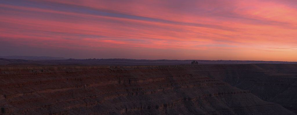
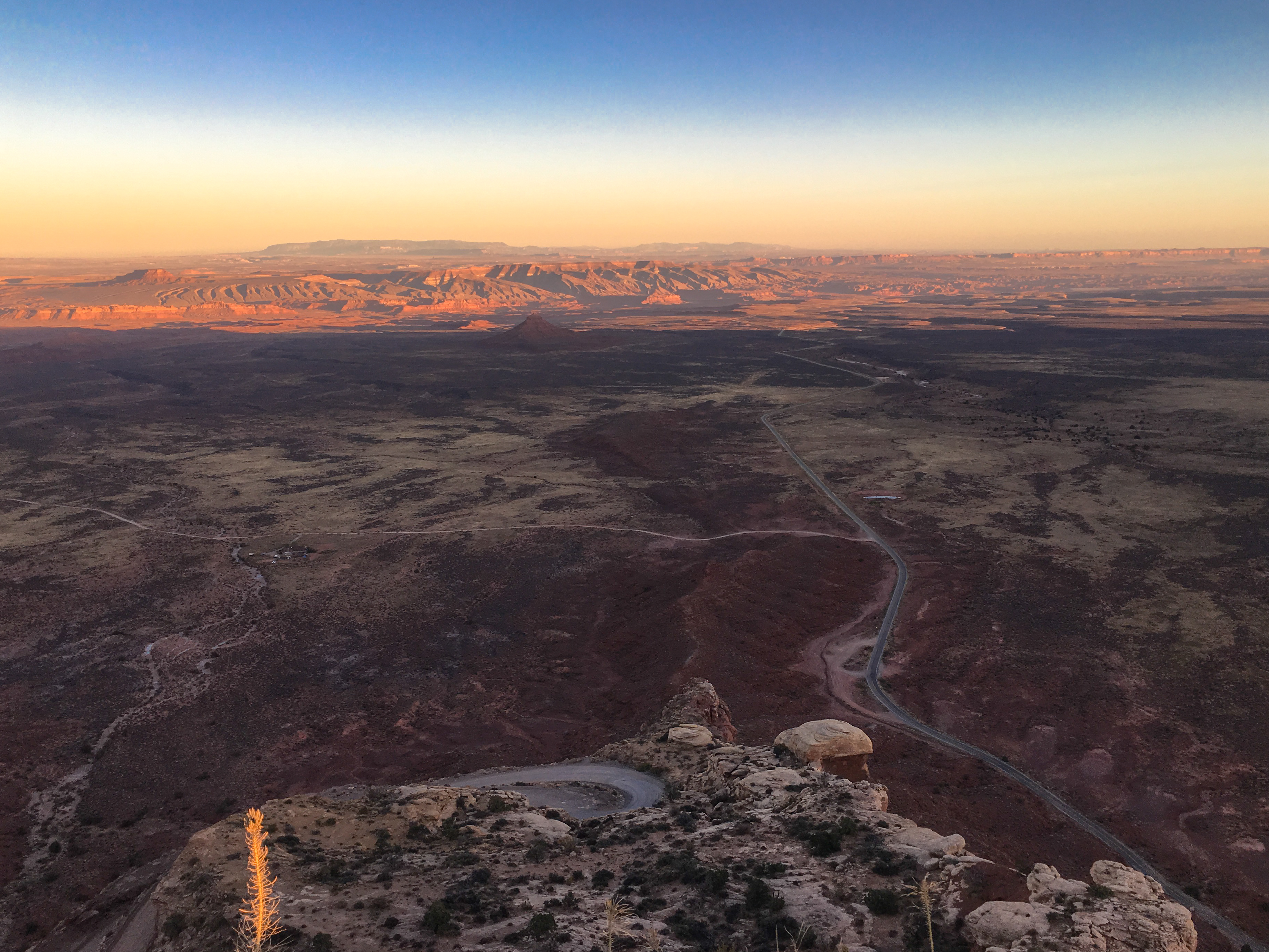
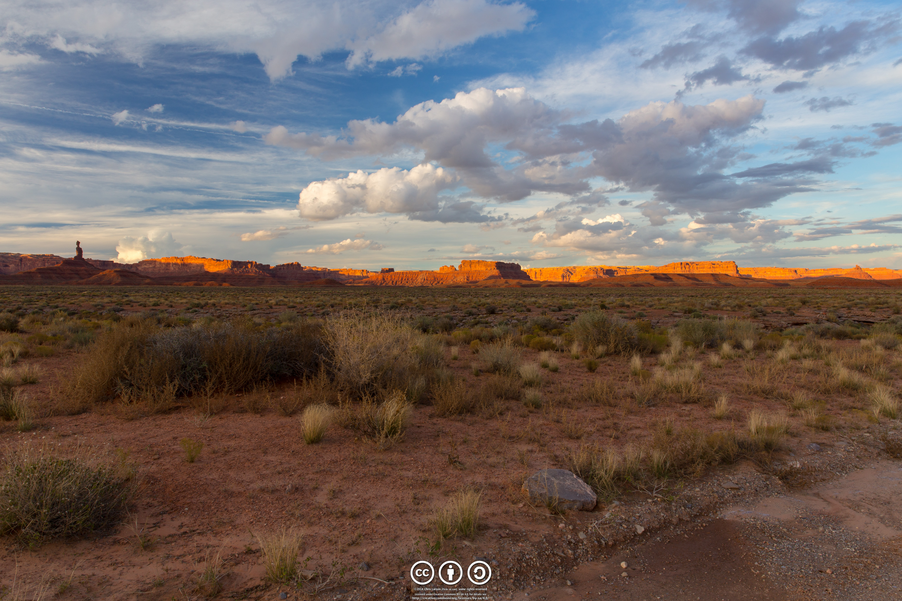
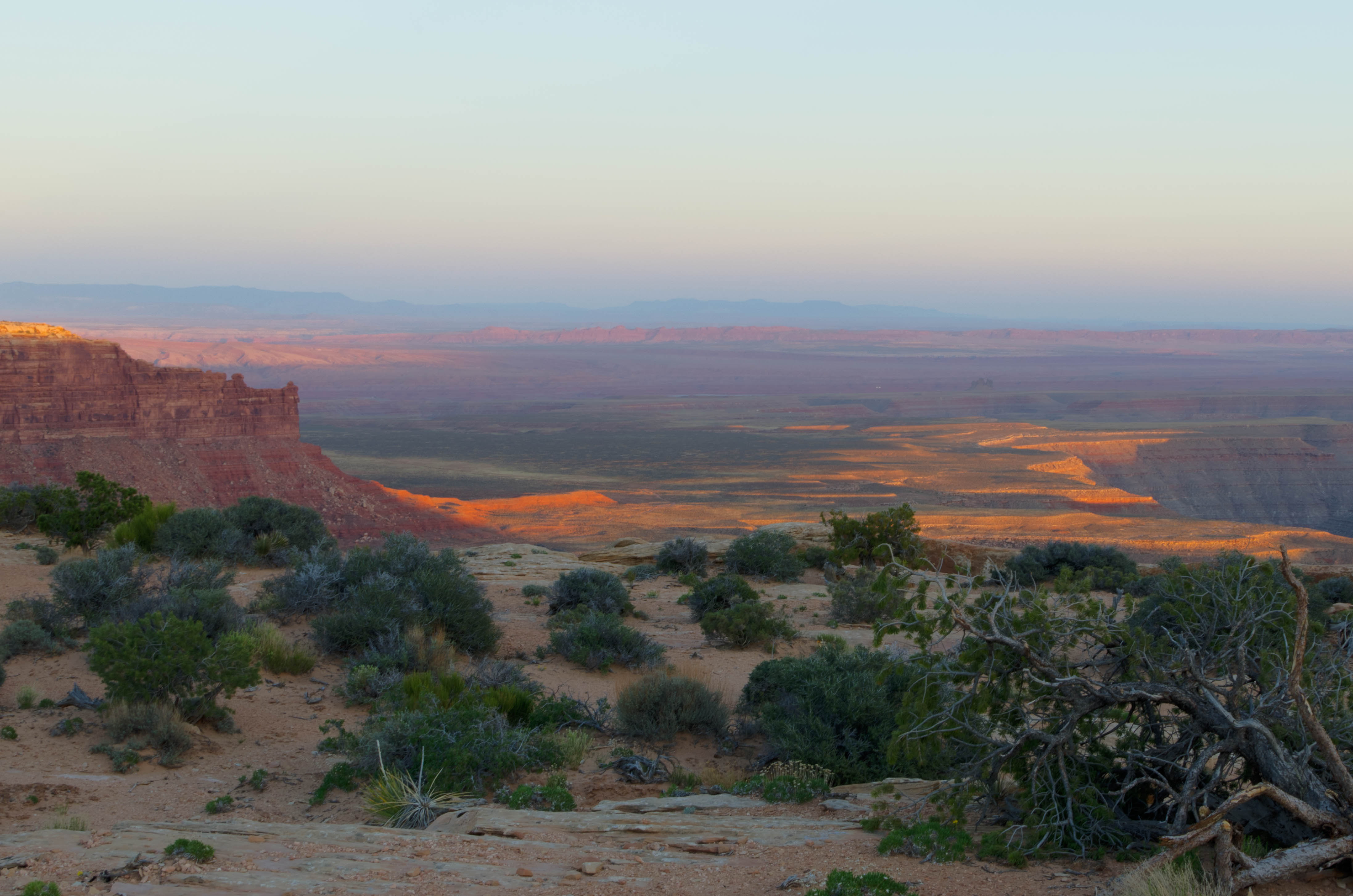
Fotos

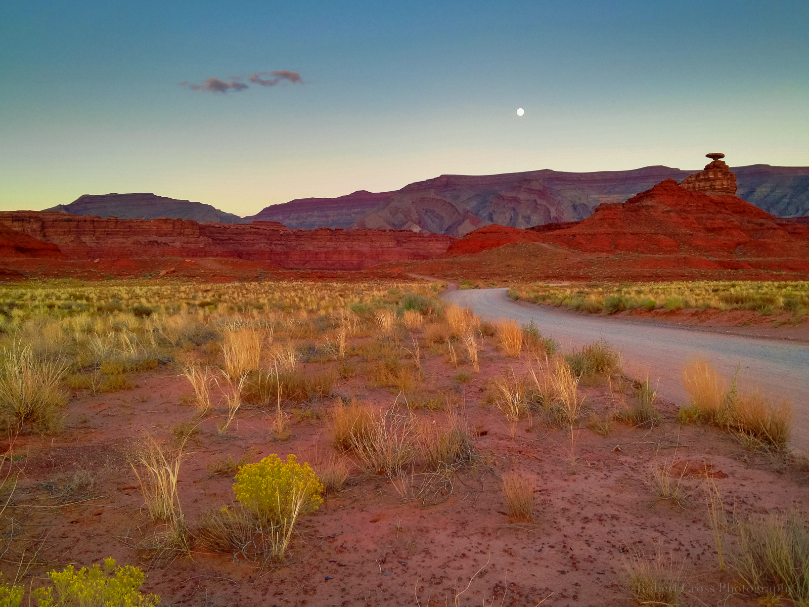
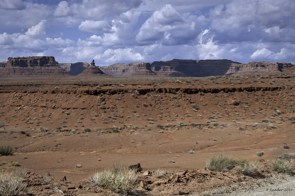
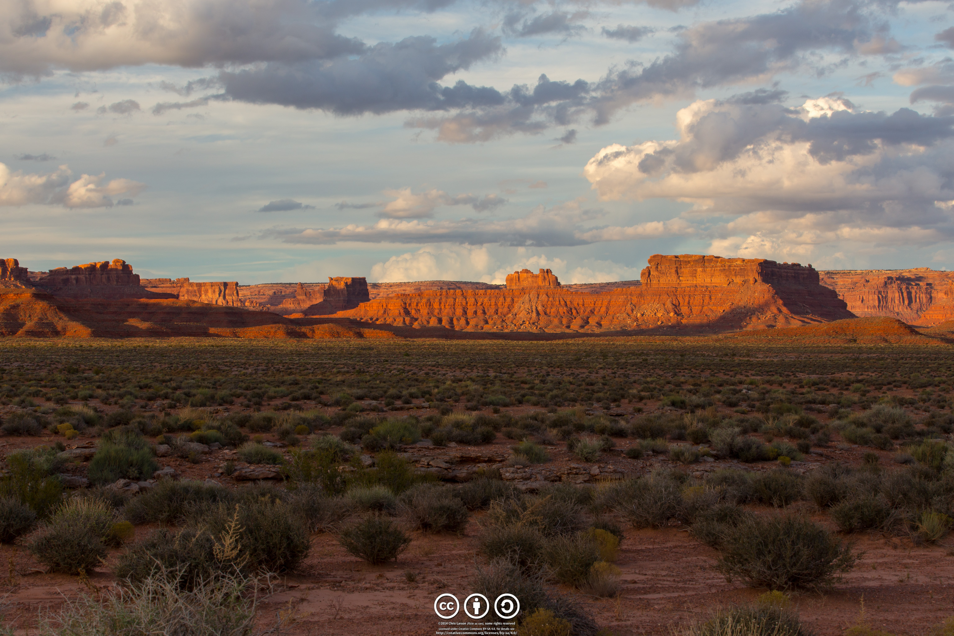
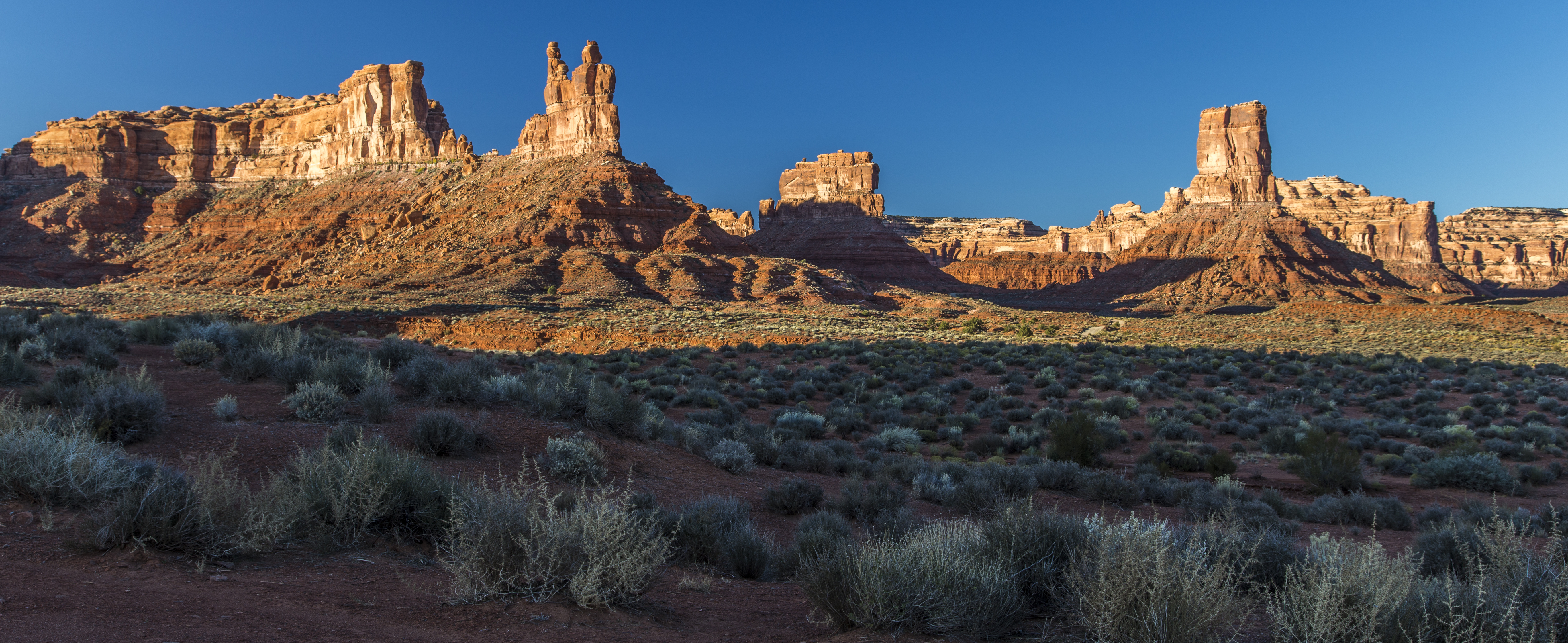
Valley of the Gods
Desert iPhoneography
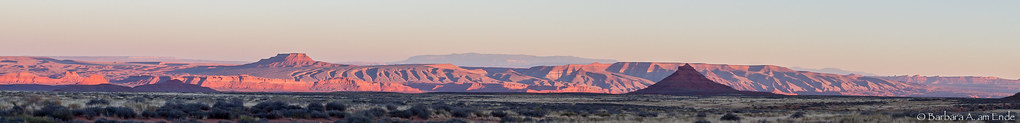
Raplee Anticline at sunset
IMG_8068 - 2012-10-12 at 09-12-27
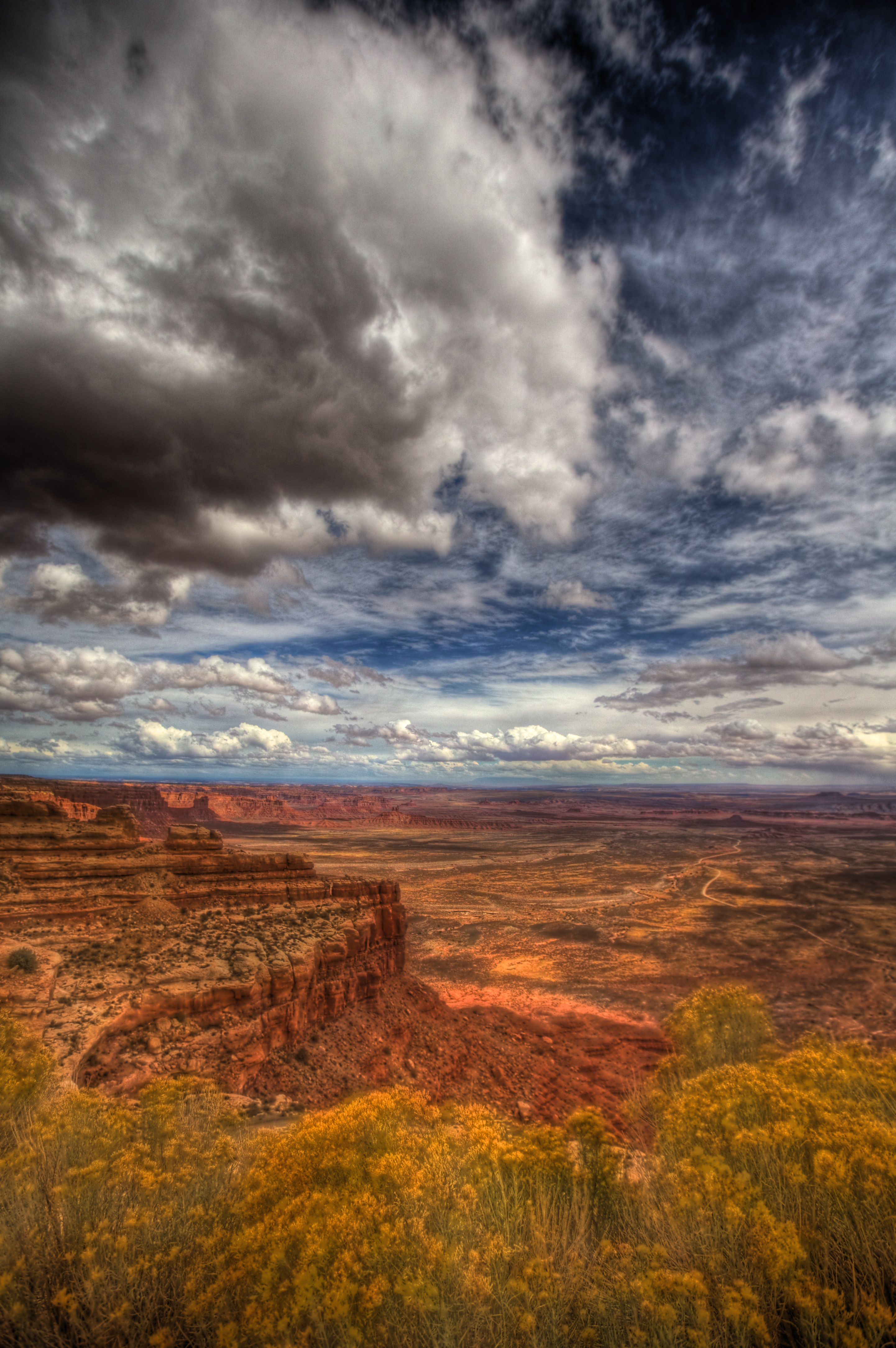
Last light over Monument Valley, Johns Canyon, and the San Juan River canyon from Muley Point on the south end of Cedar Mesa
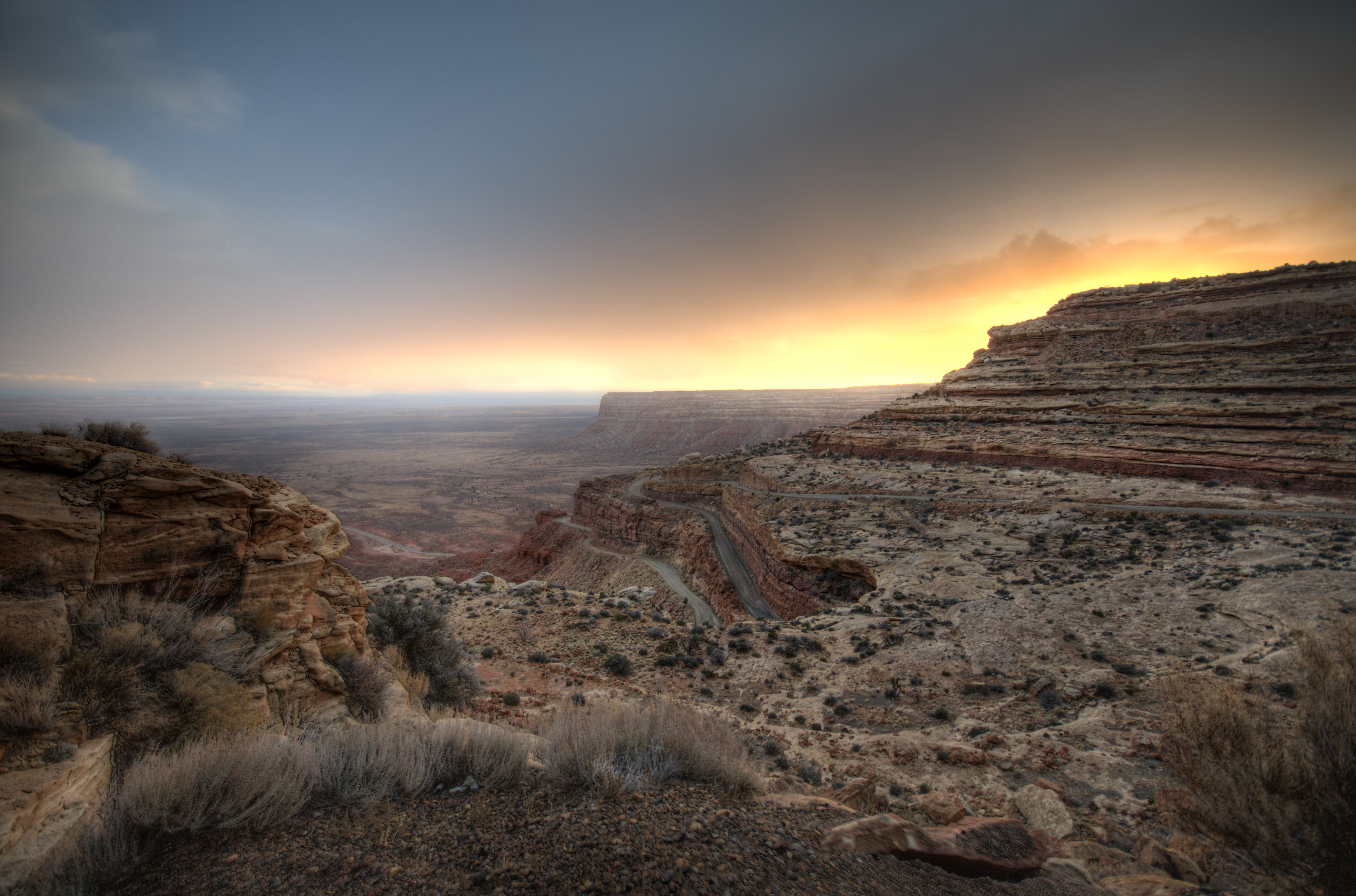
sunset over SR 261
IMG_8065 - 2012-10-12 at 09-12-16
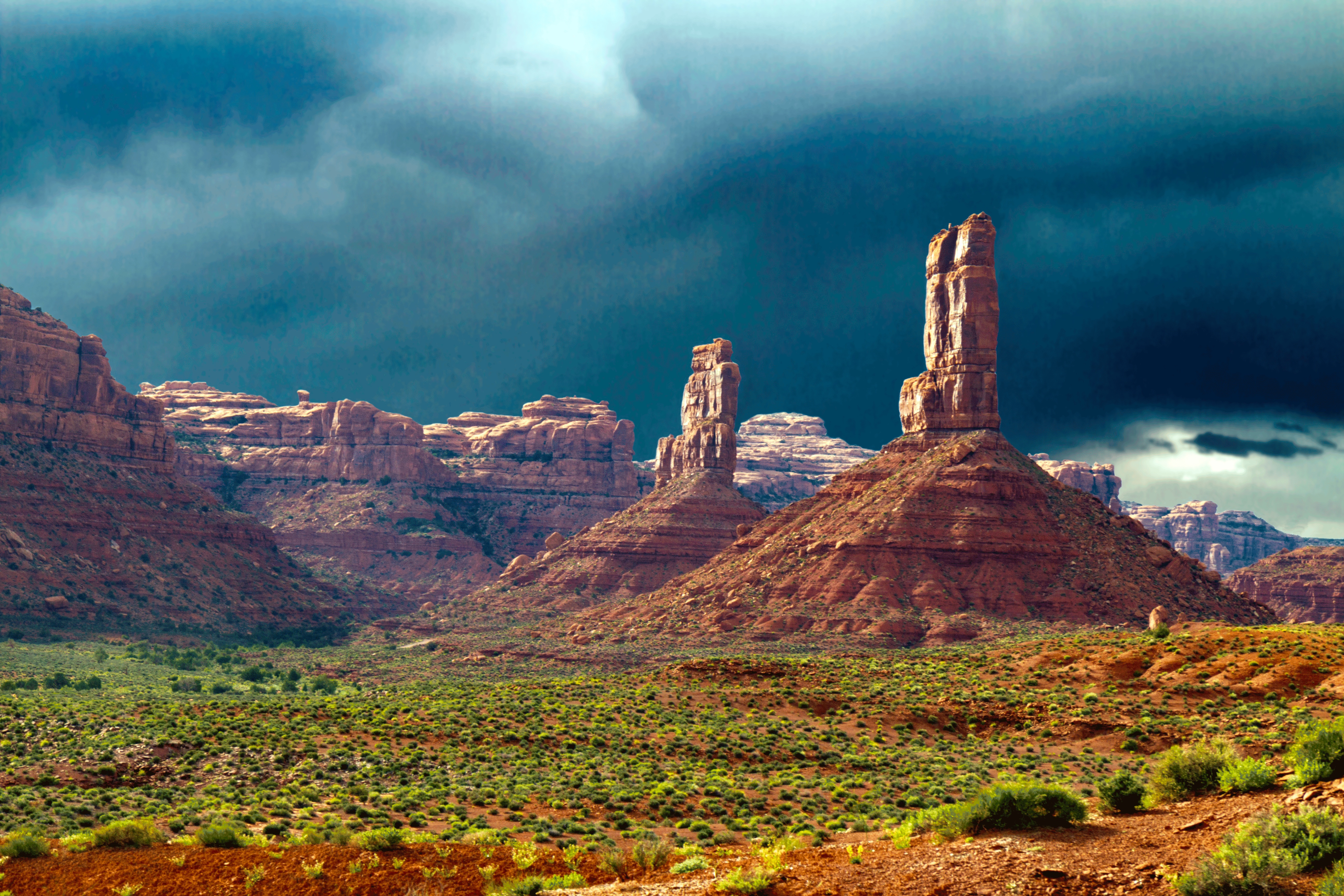
Valley Of The Gods #2

City of Gods
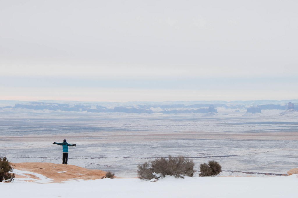
Infinity, Muley Poind Utah
Valley of the Gods I
Valley of the Gods

1R4A3084-Edit
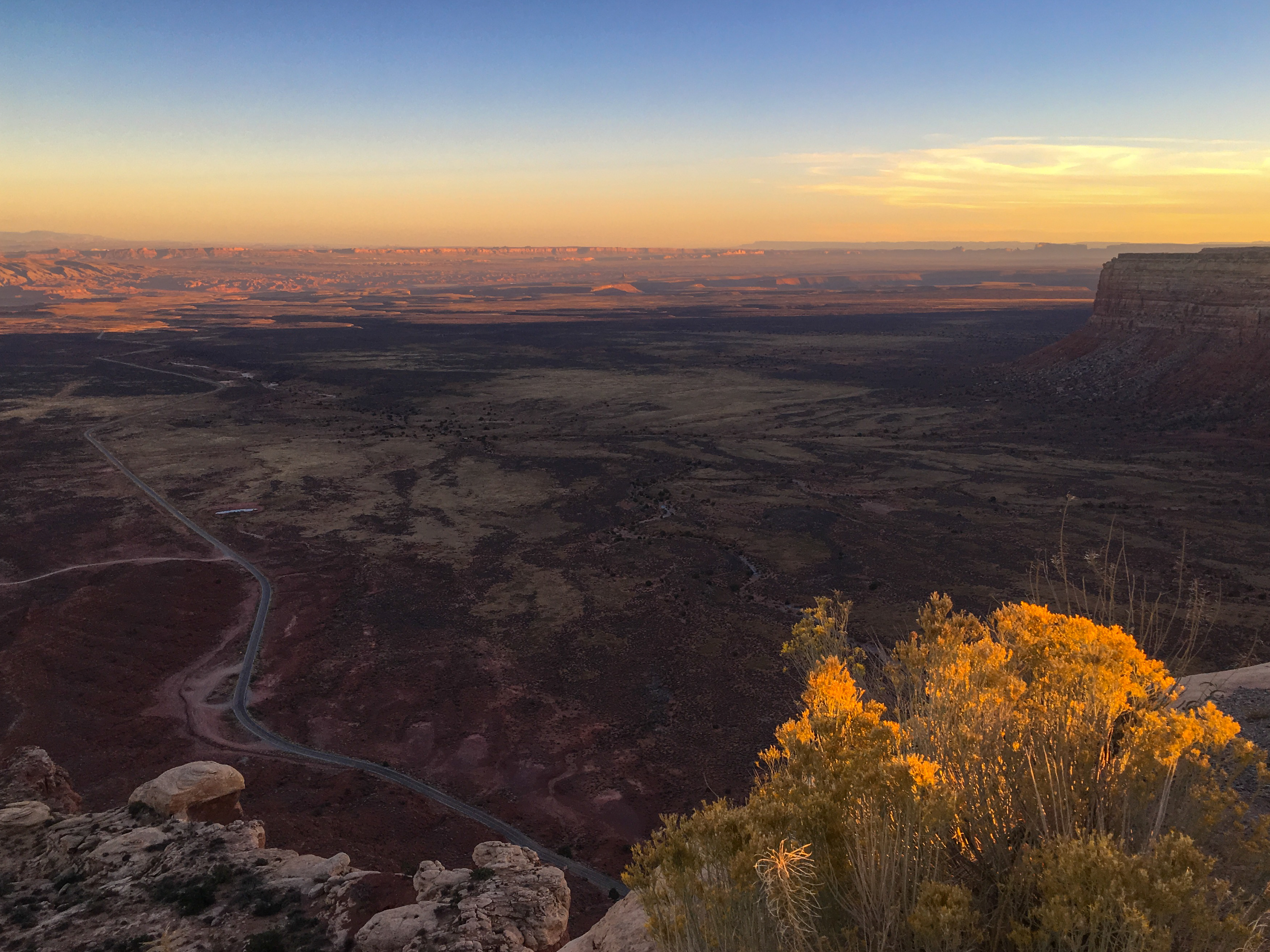
Muley Point Sunset II
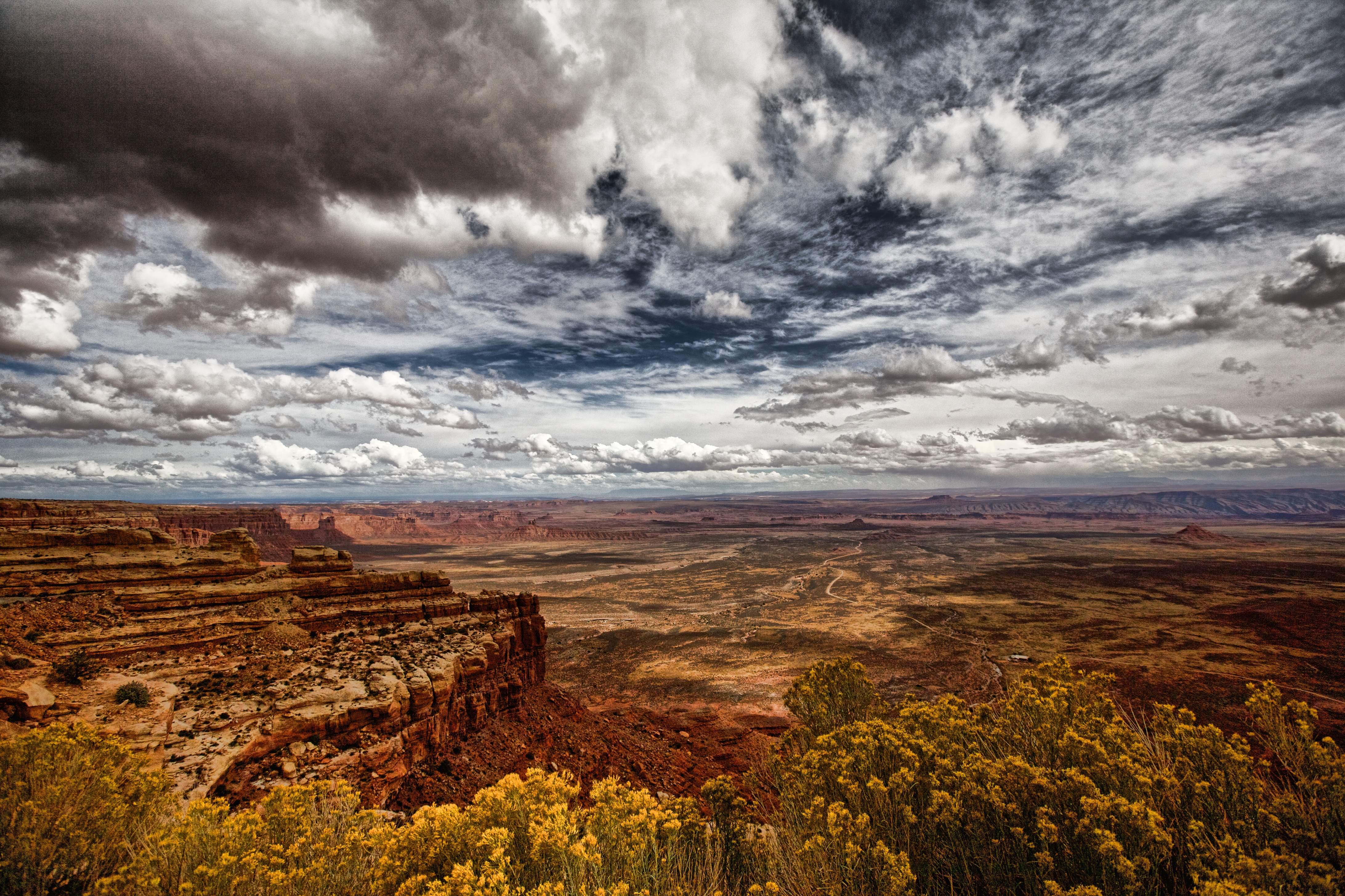
Muley Point and Monument Valley sunset from the Moki Dugway coming off Cedar Mesa
Gooseneck Panorama
Moki Dugway sunset - Valley of the Gods and Mexican Hat, Utah
Valley of the Gods II
Muley Point Sunset
Sunset shadows over Valley of the Gods and Mexican Hat, Utah
Bears Ears and Cedar Mesa sunset
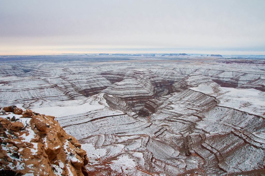
San Juan Goosenecks
Erosion of the Gods
Valley of the Gods morning
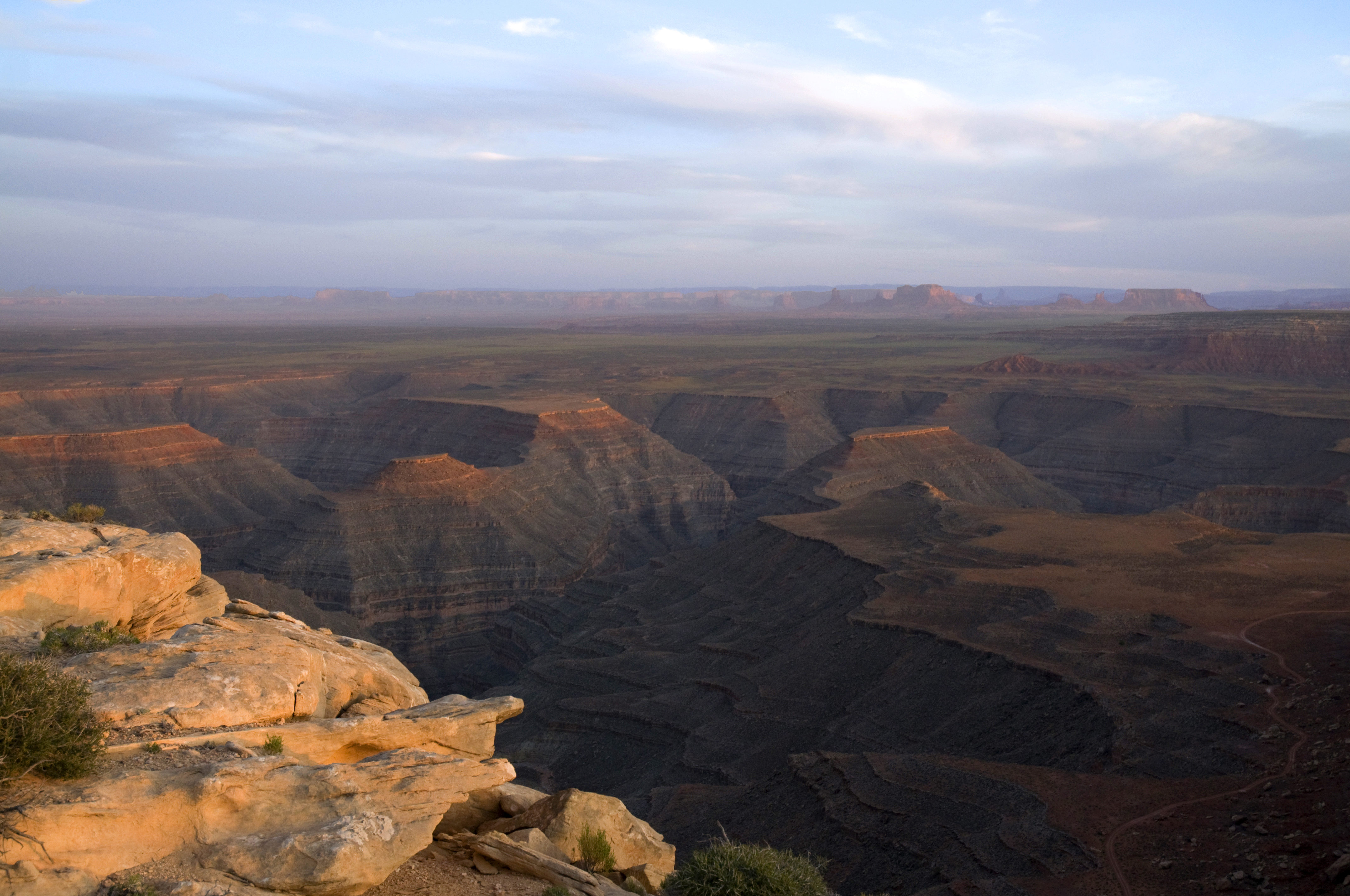
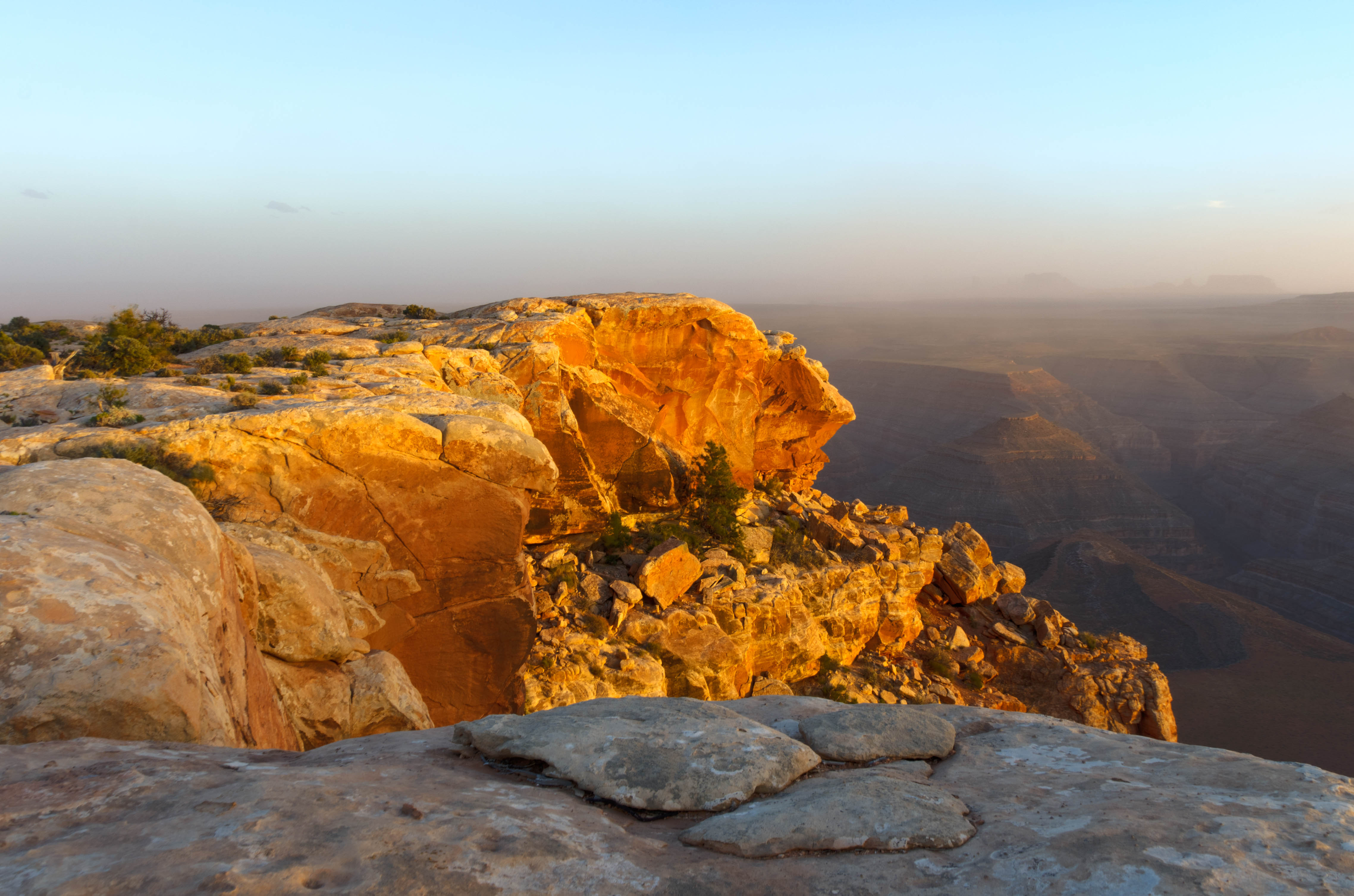
Eagle eye view Muley Point
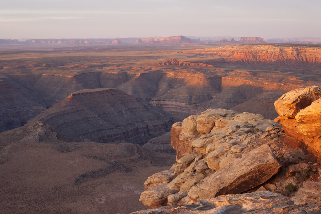
Sunrise at Muley Point

Muley Point Dawn

Meandering San Juan River at Goosenecks State Park, Utah
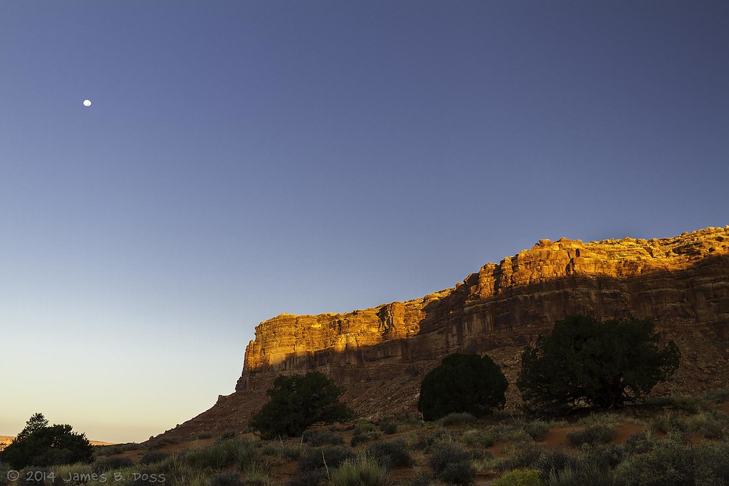
Moonset / Sunrise

VOG Sunrise Clearing Sky

Dawn on the Goosenecks

Valley of the Gods Utah
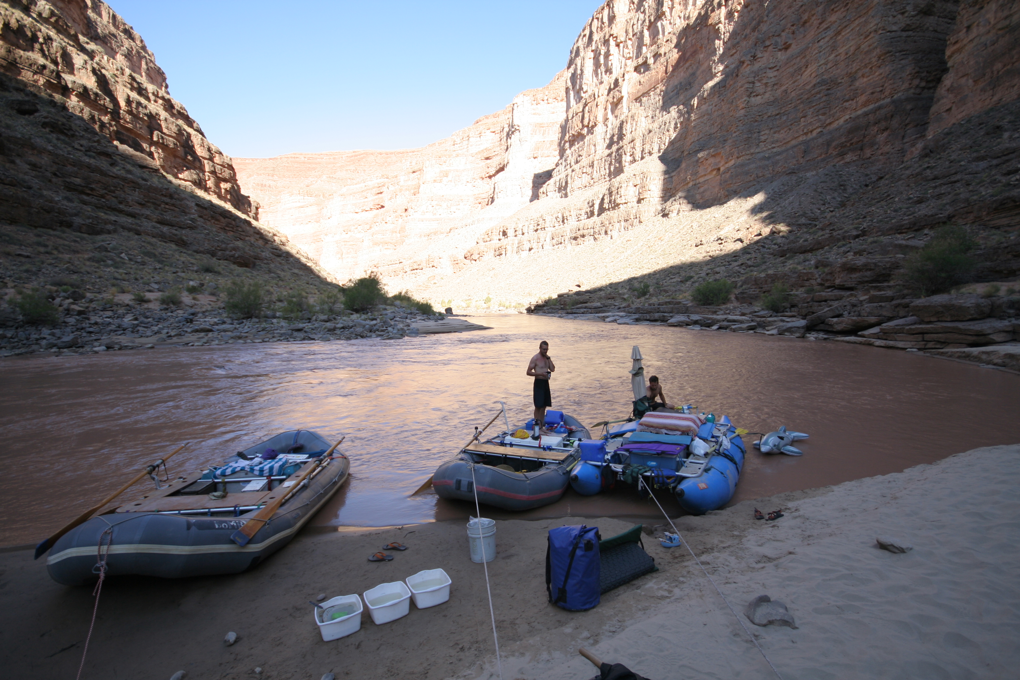
San Juan River Trip_117
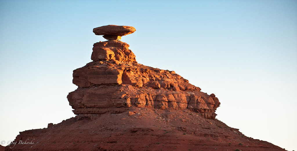
Mexican Hat Rock.
Gooseneck State Park
Sunrise Run #running #utah #fujifilmx_us #trailrunning
Mapa de Moki Dugway, UT-, Mexican Hat, UT, EE. UU.
Buscar otro lugar
Lugares cercanos
Moki Dugway, Utah, EE. UU.
Utah, UT-, Utah, EE. UU.
Goosenecks State Park, UT-, Mexican Hat, UT, EE. UU.
Mexican Hat, Utah, EE. UU.
Forrest Gump Point, US- Scenic, Mexican Hat, UT, EE. UU.
U.S., US-, Estados Unidos
Condado de San Juan, Utah, EE. UU.
Monument Pass, Utah, EE. UU.
Meseta del Colorado, Utah, EE. UU.
U.S. Scenic, US- Scenic, Oljato-Monument Valley, UT, EE. UU.
West and East Mitten Buttes, Arizona, EE. UU.
Indn Rte 42, Oljato-Monument Valley, AZ, EE. UU.
Monument Valley, Arizona, EE. UU.
Monument Valley Navajo Tribal Park, Oljato-Monument Valley, AZ, EE. UU.
Spearhead Mesa, Arizona, EE. UU.
Natural Bridges National Monument, Lake Powell, UT, EE. UU.
Wildcat Trail, Oljato-Monument Valley, AZ, EE. UU.
Natural Bridges National Monument Campground, Lake Powell, UT, EE. UU.
Monument Valley View, Oljato-Monument Valley, AZ, EE. UU.
Monument Valley Navajo Tribal Park Visitor Center, Oljato-Monument Valley, AZ, EE. UU.
Búsquedas recientes
- Horas de salida y puesta de sol de Red Dog Mine, AK, USA
- Horas de salida y puesta de sol de Am Bahnhof, Am bhf, Borken, Germany
- Horas de salida y puesta de sol de 4th St E, Sonoma, CA, EE. UU.
- Horas de salida y puesta de sol de Oakland Ave, Williamsport, PA, EE. UU.
- Horas de salida y puesta de sol de Via Roma, Pieranica CR, Italia
- Horas de salida y puesta de sol de Torre del reloj, Grad, Dubrovnik (Ragusa), Croacia
- Horas de salida y puesta de sol de Trelew, Chubut, Argentina
- Horas de salida y puesta de sol de Hartfords Bluff Cir, Mt Pleasant, SC, EE. UU.
- Horas de salida y puesta de sol de Kita Ward, Kumamoto, Japón
- Horas de salida y puesta de sol de Pingtan Island, Pingtan County, Fuzhou, China