Horas de salida y puesta de sol de Mohawk River Rd, Marcola, OR, EE. UU.
Location: Estados Unidos > Oregón > Condado de Lane > Marcola >
Zona horaria:
America/Los_Angeles
Hora local:
2025-07-12 12:52:27
Longitud:
-122.777208
Latitud:
44.249244
Salida de sol de hoy:
05:40:23 AM
Puesta de sol de hoy:
08:53:35 PM
La duración del día hoy:
15h 13m 12s
Salida de sol de mañana:
05:41:16 AM
Puesta de sol de mañana:
08:52:55 PM
La duración del día mañana:
15h 11m 39s
Mostrar todas las fechas
| Fecha | Salida de sol | Puesta de sol | Duración del día |
|---|---|---|---|
| 01/01/2025 | 07:46:37 AM | 04:44:04 PM | 8h 57m 27s |
| 02/01/2025 | 07:46:35 AM | 04:45:00 PM | 8h 58m 25s |
| 03/01/2025 | 07:46:30 AM | 04:45:59 PM | 8h 59m 29s |
| 04/01/2025 | 07:46:23 AM | 04:46:59 PM | 9h 0m 36s |
| 05/01/2025 | 07:46:14 AM | 04:48:01 PM | 9h 1m 47s |
| 06/01/2025 | 07:46:02 AM | 04:49:05 PM | 9h 3m 3s |
| 07/01/2025 | 07:45:48 AM | 04:50:10 PM | 9h 4m 22s |
| 08/01/2025 | 07:45:31 AM | 04:51:16 PM | 9h 5m 45s |
| 09/01/2025 | 07:45:11 AM | 04:52:24 PM | 9h 7m 13s |
| 10/01/2025 | 07:44:49 AM | 04:53:33 PM | 9h 8m 44s |
| 11/01/2025 | 07:44:25 AM | 04:54:44 PM | 9h 10m 19s |
| 12/01/2025 | 07:43:58 AM | 04:55:55 PM | 9h 11m 57s |
| 13/01/2025 | 07:43:28 AM | 04:57:08 PM | 9h 13m 40s |
| 14/01/2025 | 07:42:57 AM | 04:58:22 PM | 9h 15m 25s |
| 15/01/2025 | 07:42:23 AM | 04:59:37 PM | 9h 17m 14s |
| 16/01/2025 | 07:41:46 AM | 05:00:53 PM | 9h 19m 7s |
| 17/01/2025 | 07:41:07 AM | 05:02:09 PM | 9h 21m 2s |
| 18/01/2025 | 07:40:26 AM | 05:03:27 PM | 9h 23m 1s |
| 19/01/2025 | 07:39:43 AM | 05:04:45 PM | 9h 25m 2s |
| 20/01/2025 | 07:38:58 AM | 05:06:04 PM | 9h 27m 6s |
| 21/01/2025 | 07:38:10 AM | 05:07:24 PM | 9h 29m 14s |
| 22/01/2025 | 07:37:20 AM | 05:08:44 PM | 9h 31m 24s |
| 23/01/2025 | 07:36:28 AM | 05:10:05 PM | 9h 33m 37s |
| 24/01/2025 | 07:35:34 AM | 05:11:26 PM | 9h 35m 52s |
| 25/01/2025 | 07:34:38 AM | 05:12:48 PM | 9h 38m 10s |
| 26/01/2025 | 07:33:40 AM | 05:14:10 PM | 9h 40m 30s |
| 27/01/2025 | 07:32:40 AM | 05:15:32 PM | 9h 42m 52s |
| 28/01/2025 | 07:31:38 AM | 05:16:55 PM | 9h 45m 17s |
| 29/01/2025 | 07:30:34 AM | 05:18:18 PM | 9h 47m 44s |
| 30/01/2025 | 07:29:28 AM | 05:19:41 PM | 9h 50m 13s |
| 31/01/2025 | 07:28:20 AM | 05:21:05 PM | 9h 52m 45s |
| 01/02/2025 | 07:27:11 AM | 05:22:28 PM | 9h 55m 17s |
| 02/02/2025 | 07:26:00 AM | 05:23:52 PM | 9h 57m 52s |
| 03/02/2025 | 07:24:47 AM | 05:25:16 PM | 10h 0m 29s |
| 04/02/2025 | 07:23:33 AM | 05:26:40 PM | 10h 3m 7s |
| 05/02/2025 | 07:22:17 AM | 05:28:03 PM | 10h 5m 46s |
| 06/02/2025 | 07:20:59 AM | 05:29:27 PM | 10h 8m 28s |
| 07/02/2025 | 07:19:40 AM | 05:30:51 PM | 10h 11m 11s |
| 08/02/2025 | 07:18:19 AM | 05:32:15 PM | 10h 13m 56s |
| 09/02/2025 | 07:16:57 AM | 05:33:38 PM | 10h 16m 41s |
| 10/02/2025 | 07:15:34 AM | 05:35:02 PM | 10h 19m 28s |
| 11/02/2025 | 07:14:09 AM | 05:36:25 PM | 10h 22m 16s |
| 12/02/2025 | 07:12:43 AM | 05:37:48 PM | 10h 25m 5s |
| 13/02/2025 | 07:11:15 AM | 05:39:11 PM | 10h 27m 56s |
| 14/02/2025 | 07:09:47 AM | 05:40:34 PM | 10h 30m 47s |
| 15/02/2025 | 07:08:17 AM | 05:41:56 PM | 10h 33m 39s |
| 16/02/2025 | 07:06:45 AM | 05:43:19 PM | 10h 36m 34s |
| 17/02/2025 | 07:05:13 AM | 05:44:41 PM | 10h 39m 28s |
| 18/02/2025 | 07:03:40 AM | 05:46:02 PM | 10h 42m 22s |
| 19/02/2025 | 07:02:05 AM | 05:47:24 PM | 10h 45m 19s |
| 20/02/2025 | 07:00:30 AM | 05:48:45 PM | 10h 48m 15s |
| 21/02/2025 | 06:58:53 AM | 05:50:06 PM | 10h 51m 13s |
| 22/02/2025 | 06:57:16 AM | 05:51:27 PM | 10h 54m 11s |
| 23/02/2025 | 06:55:38 AM | 05:52:48 PM | 10h 57m 10s |
| 24/02/2025 | 06:53:58 AM | 05:54:08 PM | 11h 0m 10s |
| 25/02/2025 | 06:52:18 AM | 05:55:28 PM | 11h 3m 10s |
| 26/02/2025 | 06:50:37 AM | 05:56:47 PM | 11h 6m 10s |
| 27/02/2025 | 06:48:56 AM | 05:58:07 PM | 11h 9m 11s |
| 28/02/2025 | 06:47:13 AM | 05:59:26 PM | 11h 12m 13s |
| 01/03/2025 | 06:45:30 AM | 06:00:45 PM | 11h 15m 15s |
| 02/03/2025 | 06:43:46 AM | 06:02:03 PM | 11h 18m 17s |
| 03/03/2025 | 06:42:02 AM | 06:03:21 PM | 11h 21m 19s |
| 04/03/2025 | 06:40:17 AM | 06:04:39 PM | 11h 24m 22s |
| 05/03/2025 | 06:38:32 AM | 06:05:57 PM | 11h 27m 25s |
| 06/03/2025 | 06:36:45 AM | 06:07:14 PM | 11h 30m 29s |
| 07/03/2025 | 06:34:59 AM | 06:08:31 PM | 11h 33m 32s |
| 08/03/2025 | 06:33:12 AM | 06:09:48 PM | 11h 36m 36s |
| 09/03/2025 | 07:31:29 AM | 07:11:02 PM | 11h 39m 33s |
| 10/03/2025 | 07:29:41 AM | 07:12:18 PM | 11h 42m 37s |
| 11/03/2025 | 07:27:53 AM | 07:13:34 PM | 11h 45m 41s |
| 12/03/2025 | 07:26:04 AM | 07:14:50 PM | 11h 48m 46s |
| 13/03/2025 | 07:24:15 AM | 07:16:06 PM | 11h 51m 51s |
| 14/03/2025 | 07:22:26 AM | 07:17:22 PM | 11h 54m 56s |
| 15/03/2025 | 07:20:36 AM | 07:18:37 PM | 11h 58m 1s |
| 16/03/2025 | 07:18:47 AM | 07:19:52 PM | 12h 1m 5s |
| 17/03/2025 | 07:16:57 AM | 07:21:07 PM | 12h 4m 10s |
| 18/03/2025 | 07:15:07 AM | 07:22:22 PM | 12h 7m 15s |
| 19/03/2025 | 07:13:17 AM | 07:23:37 PM | 12h 10m 20s |
| 20/03/2025 | 07:11:27 AM | 07:24:51 PM | 12h 13m 24s |
| 21/03/2025 | 07:09:36 AM | 07:26:06 PM | 12h 16m 30s |
| 22/03/2025 | 07:07:46 AM | 07:27:20 PM | 12h 19m 34s |
| 23/03/2025 | 07:05:56 AM | 07:28:34 PM | 12h 22m 38s |
| 24/03/2025 | 07:04:05 AM | 07:29:48 PM | 12h 25m 43s |
| 25/03/2025 | 07:02:15 AM | 07:31:02 PM | 12h 28m 47s |
| 26/03/2025 | 07:00:25 AM | 07:32:16 PM | 12h 31m 51s |
| 27/03/2025 | 06:58:35 AM | 07:33:30 PM | 12h 34m 55s |
| 28/03/2025 | 06:56:45 AM | 07:34:44 PM | 12h 37m 59s |
| 29/03/2025 | 06:54:56 AM | 07:35:57 PM | 12h 41m 1s |
| 30/03/2025 | 06:53:06 AM | 07:37:11 PM | 12h 44m 5s |
| 31/03/2025 | 06:51:17 AM | 07:38:24 PM | 12h 47m 7s |
| 01/04/2025 | 06:49:28 AM | 07:39:38 PM | 12h 50m 10s |
| 02/04/2025 | 06:47:40 AM | 07:40:51 PM | 12h 53m 11s |
| 03/04/2025 | 06:45:52 AM | 07:42:05 PM | 12h 56m 13s |
| 04/04/2025 | 06:44:04 AM | 07:43:18 PM | 12h 59m 14s |
| 05/04/2025 | 06:42:16 AM | 07:44:32 PM | 13h 2m 16s |
| 06/04/2025 | 06:40:30 AM | 07:45:45 PM | 13h 5m 15s |
| 07/04/2025 | 06:38:43 AM | 07:46:58 PM | 13h 8m 15s |
| 08/04/2025 | 06:36:57 AM | 07:48:12 PM | 13h 11m 15s |
| 09/04/2025 | 06:35:12 AM | 07:49:25 PM | 13h 14m 13s |
| 10/04/2025 | 06:33:27 AM | 07:50:39 PM | 13h 17m 12s |
| 11/04/2025 | 06:31:42 AM | 07:51:52 PM | 13h 20m 10s |
| 12/04/2025 | 06:29:59 AM | 07:53:05 PM | 13h 23m 6s |
| 13/04/2025 | 06:28:16 AM | 07:54:19 PM | 13h 26m 3s |
| 14/04/2025 | 06:26:33 AM | 07:55:32 PM | 13h 28m 59s |
| 15/04/2025 | 06:24:52 AM | 07:56:46 PM | 13h 31m 54s |
| 16/04/2025 | 06:23:11 AM | 07:57:59 PM | 13h 34m 48s |
| 17/04/2025 | 06:21:31 AM | 07:59:12 PM | 13h 37m 41s |
| 18/04/2025 | 06:19:52 AM | 08:00:26 PM | 13h 40m 34s |
| 19/04/2025 | 06:18:13 AM | 08:01:39 PM | 13h 43m 26s |
| 20/04/2025 | 06:16:36 AM | 08:02:52 PM | 13h 46m 16s |
| 21/04/2025 | 06:14:59 AM | 08:04:05 PM | 13h 49m 6s |
| 22/04/2025 | 06:13:24 AM | 08:05:19 PM | 13h 51m 55s |
| 23/04/2025 | 06:11:49 AM | 08:06:32 PM | 13h 54m 43s |
| 24/04/2025 | 06:10:16 AM | 08:07:45 PM | 13h 57m 29s |
| 25/04/2025 | 06:08:44 AM | 08:08:58 PM | 14h 0m 14s |
| 26/04/2025 | 06:07:12 AM | 08:10:11 PM | 14h 2m 59s |
| 27/04/2025 | 06:05:42 AM | 08:11:23 PM | 14h 5m 41s |
| 28/04/2025 | 06:04:13 AM | 08:12:36 PM | 14h 8m 23s |
| 29/04/2025 | 06:02:45 AM | 08:13:48 PM | 14h 11m 3s |
| 30/04/2025 | 06:01:19 AM | 08:15:01 PM | 14h 13m 42s |
| 01/05/2025 | 05:59:53 AM | 08:16:13 PM | 14h 16m 20s |
| 02/05/2025 | 05:58:29 AM | 08:17:24 PM | 14h 18m 55s |
| 03/05/2025 | 05:57:07 AM | 08:18:36 PM | 14h 21m 29s |
| 04/05/2025 | 05:55:46 AM | 08:19:47 PM | 14h 24m 1s |
| 05/05/2025 | 05:54:26 AM | 08:20:58 PM | 14h 26m 32s |
| 06/05/2025 | 05:53:08 AM | 08:22:09 PM | 14h 29m 1s |
| 07/05/2025 | 05:51:51 AM | 08:23:19 PM | 14h 31m 28s |
| 08/05/2025 | 05:50:35 AM | 08:24:29 PM | 14h 33m 54s |
| 09/05/2025 | 05:49:22 AM | 08:25:39 PM | 14h 36m 17s |
| 10/05/2025 | 05:48:10 AM | 08:26:48 PM | 14h 38m 38s |
| 11/05/2025 | 05:46:59 AM | 08:27:56 PM | 14h 40m 57s |
| 12/05/2025 | 05:45:50 AM | 08:29:05 PM | 14h 43m 15s |
| 13/05/2025 | 05:44:43 AM | 08:30:12 PM | 14h 45m 29s |
| 14/05/2025 | 05:43:38 AM | 08:31:19 PM | 14h 47m 41s |
| 15/05/2025 | 05:42:34 AM | 08:32:25 PM | 14h 49m 51s |
| 16/05/2025 | 05:41:32 AM | 08:33:31 PM | 14h 51m 59s |
| 17/05/2025 | 05:40:32 AM | 08:34:35 PM | 14h 54m 3s |
| 18/05/2025 | 05:39:34 AM | 08:35:40 PM | 14h 56m 6s |
| 19/05/2025 | 05:38:38 AM | 08:36:43 PM | 14h 58m 5s |
| 20/05/2025 | 05:37:44 AM | 08:37:45 PM | 15h 0m 1s |
| 21/05/2025 | 05:36:51 AM | 08:38:47 PM | 15h 1m 56s |
| 22/05/2025 | 05:36:01 AM | 08:39:47 PM | 15h 3m 46s |
| 23/05/2025 | 05:35:13 AM | 08:40:47 PM | 15h 5m 34s |
| 24/05/2025 | 05:34:26 AM | 08:41:45 PM | 15h 7m 19s |
| 25/05/2025 | 05:33:42 AM | 08:42:43 PM | 15h 9m 1s |
| 26/05/2025 | 05:33:00 AM | 08:43:39 PM | 15h 10m 39s |
| 27/05/2025 | 05:32:20 AM | 08:44:34 PM | 15h 12m 14s |
| 28/05/2025 | 05:31:42 AM | 08:45:28 PM | 15h 13m 46s |
| 29/05/2025 | 05:31:06 AM | 08:46:20 PM | 15h 15m 14s |
| 30/05/2025 | 05:30:33 AM | 08:47:12 PM | 15h 16m 39s |
| 31/05/2025 | 05:30:01 AM | 08:48:01 PM | 15h 18m 0s |
| 01/06/2025 | 05:29:32 AM | 08:48:50 PM | 15h 19m 18s |
| 02/06/2025 | 05:29:05 AM | 08:49:37 PM | 15h 20m 32s |
| 03/06/2025 | 05:28:40 AM | 08:50:22 PM | 15h 21m 42s |
| 04/06/2025 | 05:28:18 AM | 08:51:06 PM | 15h 22m 48s |
| 05/06/2025 | 05:27:58 AM | 08:51:48 PM | 15h 23m 50s |
| 06/06/2025 | 05:27:40 AM | 08:52:29 PM | 15h 24m 49s |
| 07/06/2025 | 05:27:24 AM | 08:53:08 PM | 15h 25m 44s |
| 08/06/2025 | 05:27:10 AM | 08:53:45 PM | 15h 26m 35s |
| 09/06/2025 | 05:26:59 AM | 08:54:20 PM | 15h 27m 21s |
| 10/06/2025 | 05:26:50 AM | 08:54:53 PM | 15h 28m 3s |
| 11/06/2025 | 05:26:44 AM | 08:55:25 PM | 15h 28m 41s |
| 12/06/2025 | 05:26:39 AM | 08:55:54 PM | 15h 29m 15s |
| 13/06/2025 | 05:26:37 AM | 08:56:22 PM | 15h 29m 45s |
| 14/06/2025 | 05:26:37 AM | 08:56:48 PM | 15h 30m 11s |
| 15/06/2025 | 05:26:39 AM | 08:57:11 PM | 15h 30m 32s |
| 16/06/2025 | 05:26:44 AM | 08:57:33 PM | 15h 30m 49s |
| 17/06/2025 | 05:26:50 AM | 08:57:52 PM | 15h 31m 2s |
| 18/06/2025 | 05:26:59 AM | 08:58:09 PM | 15h 31m 10s |
| 19/06/2025 | 05:27:10 AM | 08:58:25 PM | 15h 31m 15s |
| 20/06/2025 | 05:27:23 AM | 08:58:38 PM | 15h 31m 15s |
| 21/06/2025 | 05:27:39 AM | 08:58:48 PM | 15h 31m 9s |
| 22/06/2025 | 05:27:56 AM | 08:58:57 PM | 15h 31m 1s |
| 23/06/2025 | 05:28:15 AM | 08:59:03 PM | 15h 30m 48s |
| 24/06/2025 | 05:28:37 AM | 08:59:07 PM | 15h 30m 30s |
| 25/06/2025 | 05:29:00 AM | 08:59:09 PM | 15h 30m 9s |
| 26/06/2025 | 05:29:25 AM | 08:59:09 PM | 15h 29m 44s |
| 27/06/2025 | 05:29:53 AM | 08:59:06 PM | 15h 29m 13s |
| 28/06/2025 | 05:30:22 AM | 08:59:01 PM | 15h 28m 39s |
| 29/06/2025 | 05:30:53 AM | 08:58:54 PM | 15h 28m 1s |
| 30/06/2025 | 05:31:26 AM | 08:58:44 PM | 15h 27m 18s |
| 01/07/2025 | 05:32:00 AM | 08:58:32 PM | 15h 26m 32s |
| 02/07/2025 | 05:32:36 AM | 08:58:18 PM | 15h 25m 42s |
| 03/07/2025 | 05:33:14 AM | 08:58:01 PM | 15h 24m 47s |
| 04/07/2025 | 05:33:54 AM | 08:57:42 PM | 15h 23m 48s |
| 05/07/2025 | 05:34:35 AM | 08:57:21 PM | 15h 22m 46s |
| 06/07/2025 | 05:35:18 AM | 08:56:58 PM | 15h 21m 40s |
| 07/07/2025 | 05:36:02 AM | 08:56:32 PM | 15h 20m 30s |
| 08/07/2025 | 05:36:48 AM | 08:56:04 PM | 15h 19m 16s |
| 09/07/2025 | 05:37:35 AM | 08:55:34 PM | 15h 17m 59s |
| 10/07/2025 | 05:38:23 AM | 08:55:01 PM | 15h 16m 38s |
| 11/07/2025 | 05:39:13 AM | 08:54:26 PM | 15h 15m 13s |
| 12/07/2025 | 05:40:04 AM | 08:53:50 PM | 15h 13m 46s |
| 13/07/2025 | 05:40:56 AM | 08:53:10 PM | 15h 12m 14s |
| 14/07/2025 | 05:41:49 AM | 08:52:29 PM | 15h 10m 40s |
| 15/07/2025 | 05:42:44 AM | 08:51:46 PM | 15h 9m 2s |
| 16/07/2025 | 05:43:39 AM | 08:51:00 PM | 15h 7m 21s |
| 17/07/2025 | 05:44:36 AM | 08:50:13 PM | 15h 5m 37s |
| 18/07/2025 | 05:45:33 AM | 08:49:23 PM | 15h 3m 50s |
| 19/07/2025 | 05:46:31 AM | 08:48:32 PM | 15h 2m 1s |
| 20/07/2025 | 05:47:31 AM | 08:47:38 PM | 15h 0m 7s |
| 21/07/2025 | 05:48:31 AM | 08:46:43 PM | 14h 58m 12s |
| 22/07/2025 | 05:49:31 AM | 08:45:45 PM | 14h 56m 14s |
| 23/07/2025 | 05:50:33 AM | 08:44:46 PM | 14h 54m 13s |
| 24/07/2025 | 05:51:35 AM | 08:43:44 PM | 14h 52m 9s |
| 25/07/2025 | 05:52:38 AM | 08:42:41 PM | 14h 50m 3s |
| 26/07/2025 | 05:53:42 AM | 08:41:36 PM | 14h 47m 54s |
| 27/07/2025 | 05:54:46 AM | 08:40:29 PM | 14h 45m 43s |
| 28/07/2025 | 05:55:50 AM | 08:39:21 PM | 14h 43m 31s |
| 29/07/2025 | 05:56:56 AM | 08:38:11 PM | 14h 41m 15s |
| 30/07/2025 | 05:58:01 AM | 08:36:59 PM | 14h 38m 58s |
| 31/07/2025 | 05:59:07 AM | 08:35:45 PM | 14h 36m 38s |
| 01/08/2025 | 06:00:13 AM | 08:34:30 PM | 14h 34m 17s |
| 02/08/2025 | 06:01:20 AM | 08:33:14 PM | 14h 31m 54s |
| 03/08/2025 | 06:02:27 AM | 08:31:55 PM | 14h 29m 28s |
| 04/08/2025 | 06:03:35 AM | 08:30:36 PM | 14h 27m 1s |
| 05/08/2025 | 06:04:42 AM | 08:29:14 PM | 14h 24m 32s |
| 06/08/2025 | 06:05:50 AM | 08:27:52 PM | 14h 22m 2s |
| 07/08/2025 | 06:06:58 AM | 08:26:28 PM | 14h 19m 30s |
| 08/08/2025 | 06:08:07 AM | 08:25:02 PM | 14h 16m 55s |
| 09/08/2025 | 06:09:15 AM | 08:23:36 PM | 14h 14m 21s |
| 10/08/2025 | 06:10:24 AM | 08:22:08 PM | 14h 11m 44s |
| 11/08/2025 | 06:11:32 AM | 08:20:39 PM | 14h 9m 7s |
| 12/08/2025 | 06:12:41 AM | 08:19:08 PM | 14h 6m 27s |
| 13/08/2025 | 06:13:50 AM | 08:17:36 PM | 14h 3m 46s |
| 14/08/2025 | 06:14:59 AM | 08:16:04 PM | 14h 1m 5s |
| 15/08/2025 | 06:16:08 AM | 08:14:30 PM | 13h 58m 22s |
| 16/08/2025 | 06:17:17 AM | 08:12:55 PM | 13h 55m 38s |
| 17/08/2025 | 06:18:26 AM | 08:11:19 PM | 13h 52m 53s |
| 18/08/2025 | 06:19:36 AM | 08:09:42 PM | 13h 50m 6s |
| 19/08/2025 | 06:20:45 AM | 08:08:04 PM | 13h 47m 19s |
| 20/08/2025 | 06:21:54 AM | 08:06:25 PM | 13h 44m 31s |
| 21/08/2025 | 06:23:03 AM | 08:04:45 PM | 13h 41m 42s |
| 22/08/2025 | 06:24:12 AM | 08:03:04 PM | 13h 38m 52s |
| 23/08/2025 | 06:25:22 AM | 08:01:23 PM | 13h 36m 1s |
| 24/08/2025 | 06:26:31 AM | 07:59:41 PM | 13h 33m 10s |
| 25/08/2025 | 06:27:40 AM | 07:57:57 PM | 13h 30m 17s |
| 26/08/2025 | 06:28:49 AM | 07:56:14 PM | 13h 27m 25s |
| 27/08/2025 | 06:29:58 AM | 07:54:29 PM | 13h 24m 31s |
| 28/08/2025 | 06:31:07 AM | 07:52:44 PM | 13h 21m 37s |
| 29/08/2025 | 06:32:16 AM | 07:50:58 PM | 13h 18m 42s |
| 30/08/2025 | 06:33:25 AM | 07:49:11 PM | 13h 15m 46s |
| 31/08/2025 | 06:34:34 AM | 07:47:24 PM | 13h 12m 50s |
| 01/09/2025 | 06:35:43 AM | 07:45:37 PM | 13h 9m 54s |
| 02/09/2025 | 06:36:52 AM | 07:43:49 PM | 13h 6m 57s |
| 03/09/2025 | 06:38:00 AM | 07:42:00 PM | 13h 4m 0s |
| 04/09/2025 | 06:39:09 AM | 07:40:11 PM | 13h 1m 2s |
| 05/09/2025 | 06:40:18 AM | 07:38:21 PM | 12h 58m 3s |
| 06/09/2025 | 06:41:27 AM | 07:36:32 PM | 12h 55m 5s |
| 07/09/2025 | 06:42:36 AM | 07:34:41 PM | 12h 52m 5s |
| 08/09/2025 | 06:43:45 AM | 07:32:51 PM | 12h 49m 6s |
| 09/09/2025 | 06:44:53 AM | 07:31:00 PM | 12h 46m 7s |
| 10/09/2025 | 06:46:02 AM | 07:29:09 PM | 12h 43m 7s |
| 11/09/2025 | 06:47:11 AM | 07:27:17 PM | 12h 40m 6s |
| 12/09/2025 | 06:48:20 AM | 07:25:26 PM | 12h 37m 6s |
| 13/09/2025 | 06:49:29 AM | 07:23:34 PM | 12h 34m 5s |
| 14/09/2025 | 06:50:38 AM | 07:21:42 PM | 12h 31m 4s |
| 15/09/2025 | 06:51:48 AM | 07:19:50 PM | 12h 28m 2s |
| 16/09/2025 | 06:52:57 AM | 07:17:58 PM | 12h 25m 1s |
| 17/09/2025 | 06:54:06 AM | 07:16:06 PM | 12h 22m 0s |
| 18/09/2025 | 06:55:15 AM | 07:14:13 PM | 12h 18m 58s |
| 19/09/2025 | 06:56:25 AM | 07:12:21 PM | 12h 15m 56s |
| 20/09/2025 | 06:57:35 AM | 07:10:29 PM | 12h 12m 54s |
| 21/09/2025 | 06:58:44 AM | 07:08:37 PM | 12h 9m 53s |
| 22/09/2025 | 06:59:54 AM | 07:06:45 PM | 12h 6m 51s |
| 23/09/2025 | 07:01:04 AM | 07:04:53 PM | 12h 3m 49s |
| 24/09/2025 | 07:02:15 AM | 07:03:01 PM | 12h 0m 46s |
| 25/09/2025 | 07:03:25 AM | 07:01:10 PM | 11h 57m 45s |
| 26/09/2025 | 07:04:36 AM | 06:59:18 PM | 11h 54m 42s |
| 27/09/2025 | 07:05:47 AM | 06:57:27 PM | 11h 51m 40s |
| 28/09/2025 | 07:06:58 AM | 06:55:36 PM | 11h 48m 38s |
| 29/09/2025 | 07:08:09 AM | 06:53:46 PM | 11h 45m 37s |
| 30/09/2025 | 07:09:20 AM | 06:51:56 PM | 11h 42m 36s |
| 01/10/2025 | 07:10:32 AM | 06:50:06 PM | 11h 39m 34s |
| 02/10/2025 | 07:11:44 AM | 06:48:16 PM | 11h 36m 32s |
| 03/10/2025 | 07:12:56 AM | 06:46:27 PM | 11h 33m 31s |
| 04/10/2025 | 07:14:09 AM | 06:44:39 PM | 11h 30m 30s |
| 05/10/2025 | 07:15:21 AM | 06:42:51 PM | 11h 27m 30s |
| 06/10/2025 | 07:16:34 AM | 06:41:03 PM | 11h 24m 29s |
| 07/10/2025 | 07:17:48 AM | 06:39:16 PM | 11h 21m 28s |
| 08/10/2025 | 07:19:01 AM | 06:37:30 PM | 11h 18m 29s |
| 09/10/2025 | 07:20:15 AM | 06:35:44 PM | 11h 15m 29s |
| 10/10/2025 | 07:21:29 AM | 06:33:59 PM | 11h 12m 30s |
| 11/10/2025 | 07:22:44 AM | 06:32:15 PM | 11h 9m 31s |
| 12/10/2025 | 07:23:58 AM | 06:30:31 PM | 11h 6m 33s |
| 13/10/2025 | 07:25:13 AM | 06:28:48 PM | 11h 3m 35s |
| 14/10/2025 | 07:26:29 AM | 06:27:06 PM | 11h 0m 37s |
| 15/10/2025 | 07:27:45 AM | 06:25:25 PM | 10h 57m 40s |
| 16/10/2025 | 07:29:01 AM | 06:23:44 PM | 10h 54m 43s |
| 17/10/2025 | 07:30:17 AM | 06:22:05 PM | 10h 51m 48s |
| 18/10/2025 | 07:31:34 AM | 06:20:26 PM | 10h 48m 52s |
| 19/10/2025 | 07:32:50 AM | 06:18:48 PM | 10h 45m 58s |
| 20/10/2025 | 07:34:08 AM | 06:17:12 PM | 10h 43m 4s |
| 21/10/2025 | 07:35:25 AM | 06:15:36 PM | 10h 40m 11s |
| 22/10/2025 | 07:36:43 AM | 06:14:02 PM | 10h 37m 19s |
| 23/10/2025 | 07:38:01 AM | 06:12:28 PM | 10h 34m 27s |
| 24/10/2025 | 07:39:19 AM | 06:10:56 PM | 10h 31m 37s |
| 25/10/2025 | 07:40:38 AM | 06:09:25 PM | 10h 28m 47s |
| 26/10/2025 | 07:41:57 AM | 06:07:55 PM | 10h 25m 58s |
| 27/10/2025 | 07:43:16 AM | 06:06:27 PM | 10h 23m 11s |
| 28/10/2025 | 07:44:35 AM | 06:05:00 PM | 10h 20m 25s |
| 29/10/2025 | 07:45:55 AM | 06:03:34 PM | 10h 17m 39s |
| 30/10/2025 | 07:47:14 AM | 06:02:09 PM | 10h 14m 55s |
| 31/10/2025 | 07:48:34 AM | 06:00:46 PM | 10h 12m 12s |
| 01/11/2025 | 07:49:54 AM | 05:59:25 PM | 10h 9m 31s |
| 02/11/2025 | 06:51:18 AM | 04:58:02 PM | 10h 6m 44s |
| 03/11/2025 | 06:52:38 AM | 04:56:43 PM | 10h 4m 5s |
| 04/11/2025 | 06:53:58 AM | 04:55:26 PM | 10h 1m 28s |
| 05/11/2025 | 06:55:18 AM | 04:54:11 PM | 9h 58m 53s |
| 06/11/2025 | 06:56:39 AM | 04:52:58 PM | 9h 56m 19s |
| 07/11/2025 | 06:57:59 AM | 04:51:46 PM | 9h 53m 47s |
| 08/11/2025 | 06:59:19 AM | 04:50:36 PM | 9h 51m 17s |
| 09/11/2025 | 07:00:39 AM | 04:49:27 PM | 9h 48m 48s |
| 10/11/2025 | 07:01:59 AM | 04:48:21 PM | 9h 46m 22s |
| 11/11/2025 | 07:03:19 AM | 04:47:16 PM | 9h 43m 57s |
| 12/11/2025 | 07:04:38 AM | 04:46:14 PM | 9h 41m 36s |
| 13/11/2025 | 07:05:58 AM | 04:45:13 PM | 9h 39m 15s |
| 14/11/2025 | 07:07:17 AM | 04:44:14 PM | 9h 36m 57s |
| 15/11/2025 | 07:08:35 AM | 04:43:18 PM | 9h 34m 43s |
| 16/11/2025 | 07:09:54 AM | 04:42:23 PM | 9h 32m 29s |
| 17/11/2025 | 07:11:11 AM | 04:41:31 PM | 9h 30m 20s |
| 18/11/2025 | 07:12:29 AM | 04:40:40 PM | 9h 28m 11s |
| 19/11/2025 | 07:13:46 AM | 04:39:52 PM | 9h 26m 6s |
| 20/11/2025 | 07:15:02 AM | 04:39:06 PM | 9h 24m 4s |
| 21/11/2025 | 07:16:17 AM | 04:38:23 PM | 9h 22m 6s |
| 22/11/2025 | 07:17:32 AM | 04:37:41 PM | 9h 20m 9s |
| 23/11/2025 | 07:18:46 AM | 04:37:02 PM | 9h 18m 16s |
| 24/11/2025 | 07:19:59 AM | 04:36:25 PM | 9h 16m 26s |
| 25/11/2025 | 07:21:12 AM | 04:35:51 PM | 9h 14m 39s |
| 26/11/2025 | 07:22:23 AM | 04:35:19 PM | 9h 12m 56s |
| 27/11/2025 | 07:23:33 AM | 04:34:49 PM | 9h 11m 16s |
| 28/11/2025 | 07:24:43 AM | 04:34:22 PM | 9h 9m 39s |
| 29/11/2025 | 07:25:51 AM | 04:33:58 PM | 9h 8m 7s |
| 30/11/2025 | 07:26:58 AM | 04:33:35 PM | 9h 6m 37s |
| 01/12/2025 | 07:28:04 AM | 04:33:16 PM | 9h 5m 12s |
| 02/12/2025 | 07:29:08 AM | 04:32:59 PM | 9h 3m 51s |
| 03/12/2025 | 07:30:11 AM | 04:32:44 PM | 9h 2m 33s |
| 04/12/2025 | 07:31:13 AM | 04:32:32 PM | 9h 1m 19s |
| 05/12/2025 | 07:32:13 AM | 04:32:23 PM | 9h 0m 10s |
| 06/12/2025 | 07:33:11 AM | 04:32:16 PM | 8h 59m 5s |
| 07/12/2025 | 07:34:08 AM | 04:32:12 PM | 8h 58m 4s |
| 08/12/2025 | 07:35:04 AM | 04:32:10 PM | 8h 57m 6s |
| 09/12/2025 | 07:35:57 AM | 04:32:11 PM | 8h 56m 14s |
| 10/12/2025 | 07:36:49 AM | 04:32:14 PM | 8h 55m 25s |
| 11/12/2025 | 07:37:39 AM | 04:32:21 PM | 8h 54m 42s |
| 12/12/2025 | 07:38:27 AM | 04:32:29 PM | 8h 54m 2s |
| 13/12/2025 | 07:39:13 AM | 04:32:41 PM | 8h 53m 28s |
| 14/12/2025 | 07:39:56 AM | 04:32:54 PM | 8h 52m 58s |
| 15/12/2025 | 07:40:38 AM | 04:33:11 PM | 8h 52m 33s |
| 16/12/2025 | 07:41:18 AM | 04:33:30 PM | 8h 52m 12s |
| 17/12/2025 | 07:41:56 AM | 04:33:51 PM | 8h 51m 55s |
| 18/12/2025 | 07:42:31 AM | 04:34:15 PM | 8h 51m 44s |
| 19/12/2025 | 07:43:04 AM | 04:34:41 PM | 8h 51m 37s |
| 20/12/2025 | 07:43:35 AM | 04:35:10 PM | 8h 51m 35s |
| 21/12/2025 | 07:44:04 AM | 04:35:41 PM | 8h 51m 37s |
| 22/12/2025 | 07:44:30 AM | 04:36:15 PM | 8h 51m 45s |
| 23/12/2025 | 07:44:54 AM | 04:36:51 PM | 8h 51m 57s |
| 24/12/2025 | 07:45:15 AM | 04:37:29 PM | 8h 52m 14s |
| 25/12/2025 | 07:45:34 AM | 04:38:09 PM | 8h 52m 35s |
| 26/12/2025 | 07:45:50 AM | 04:38:51 PM | 8h 53m 1s |
| 27/12/2025 | 07:46:04 AM | 04:39:36 PM | 8h 53m 32s |
| 28/12/2025 | 07:46:16 AM | 04:40:23 PM | 8h 54m 7s |
| 29/12/2025 | 07:46:25 AM | 04:41:12 PM | 8h 54m 47s |
| 30/12/2025 | 07:46:31 AM | 04:42:03 PM | 8h 55m 32s |
| 31/12/2025 | 07:46:35 AM | 04:42:55 PM | 8h 56m 20s |
Fotos

Day 180: Hot summer days have arrived in Oregon!

Day 181: A daisy twilight

Clouds at sunset
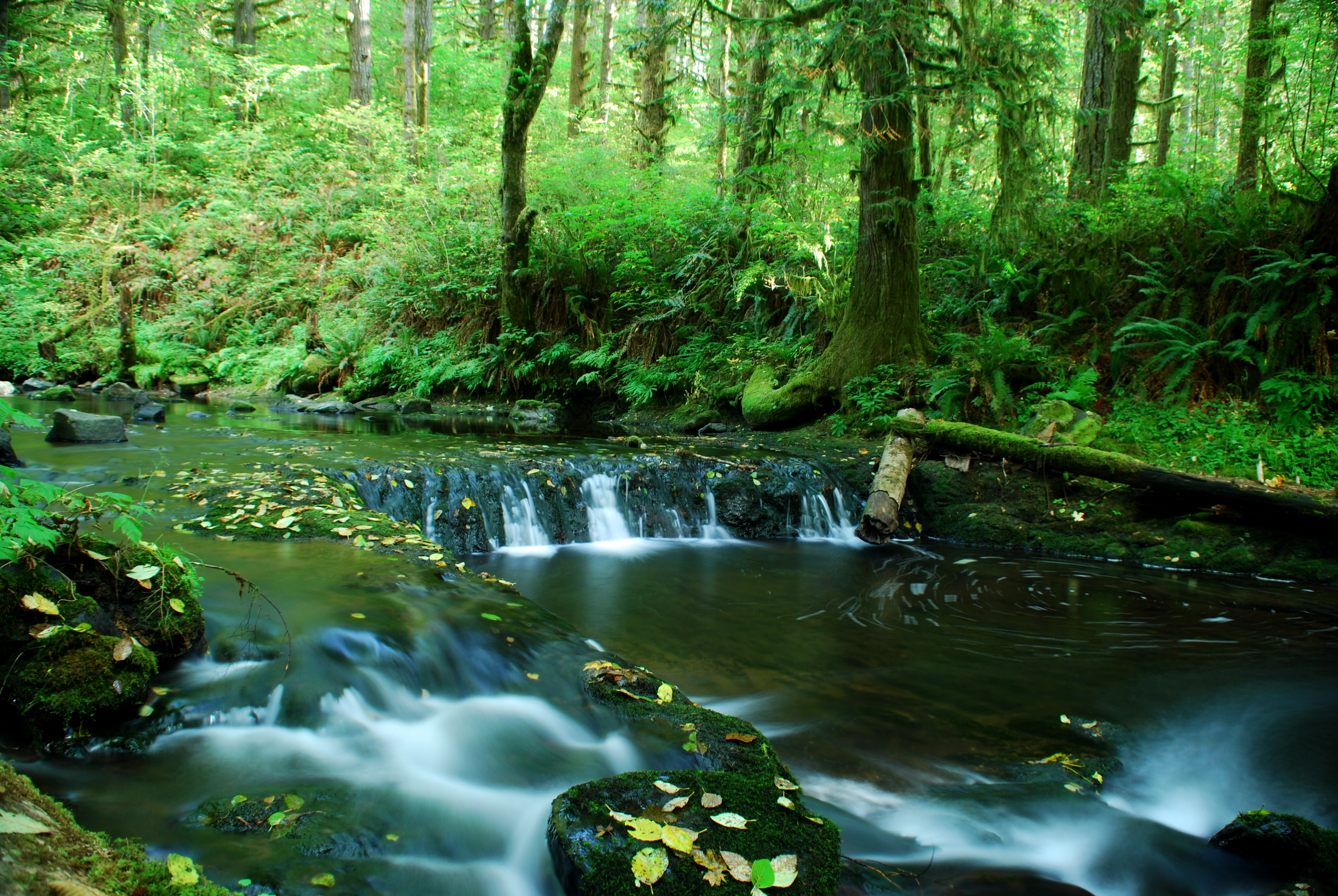
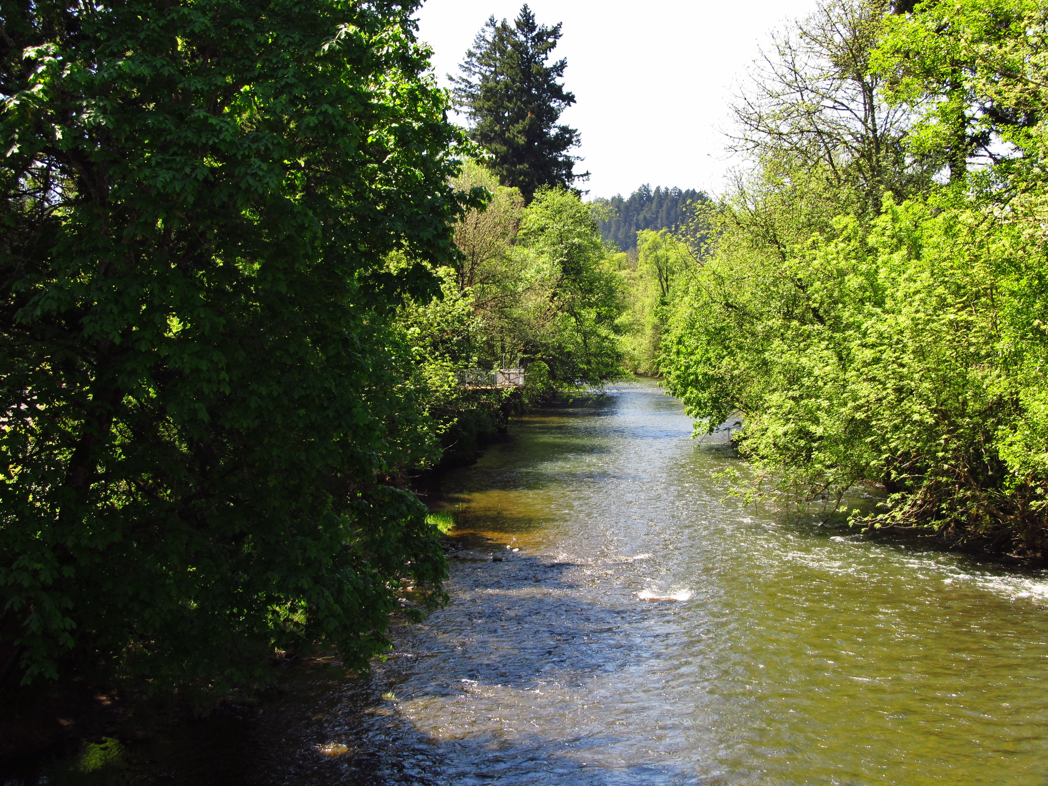
More Shotgun Creek
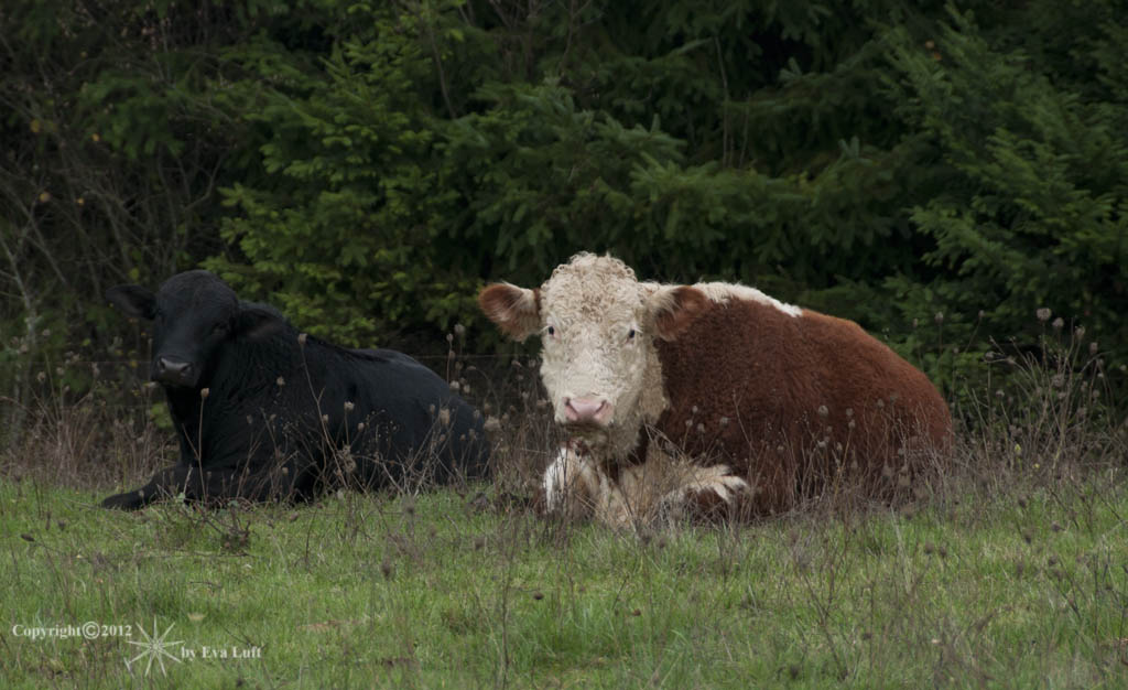
Peaceful-Co-Existence. Image by Eva.

Horse Rock Ridge, Study 2

Horse Rock Ridge, Study 1
IMG_7231 Diamond Hill Road Wetlands

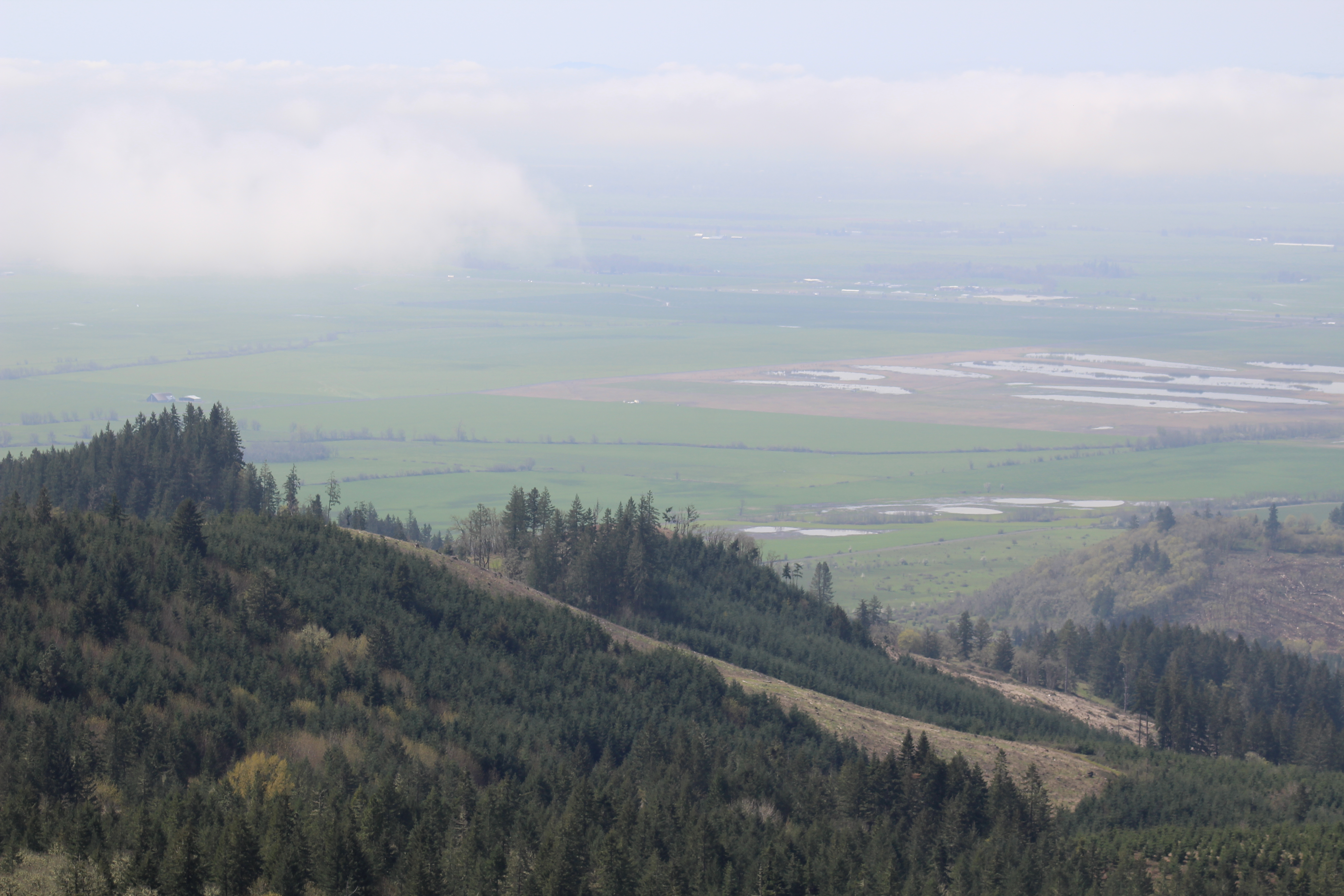
IMG_7233 Prairie Mountain
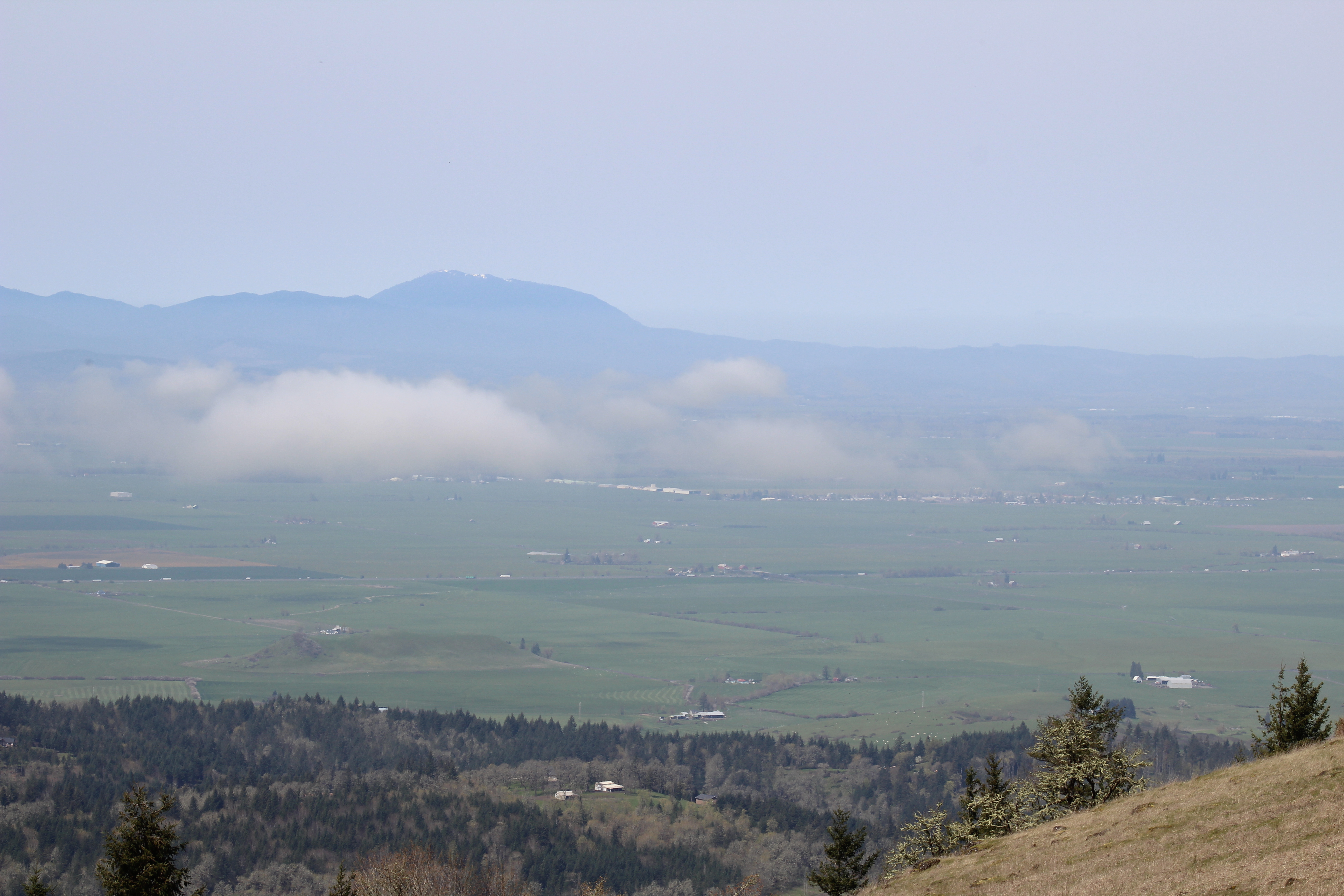
IMG_7228 Mary's Peak
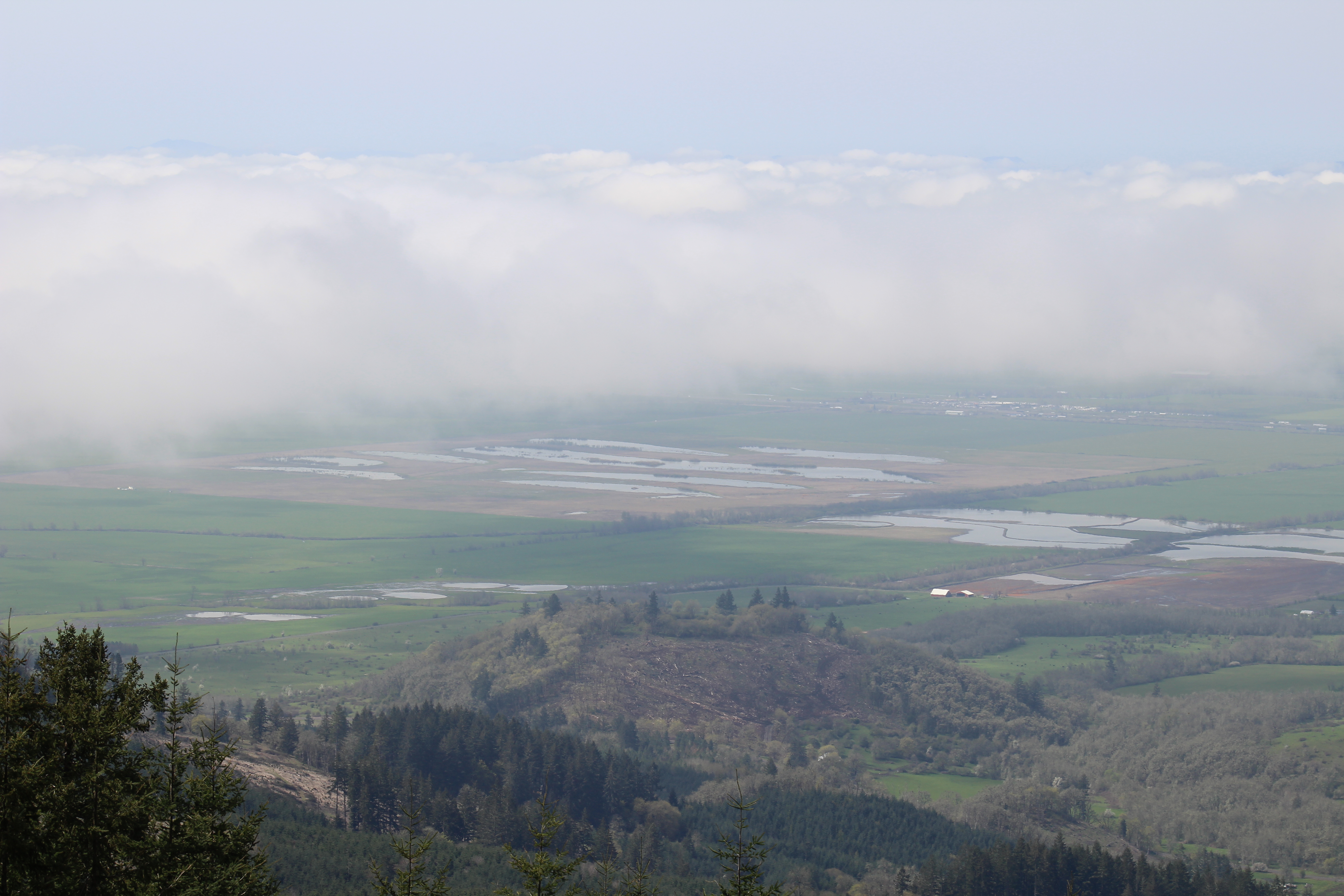
IMG_7229 Diamond Hill Road Wetlands
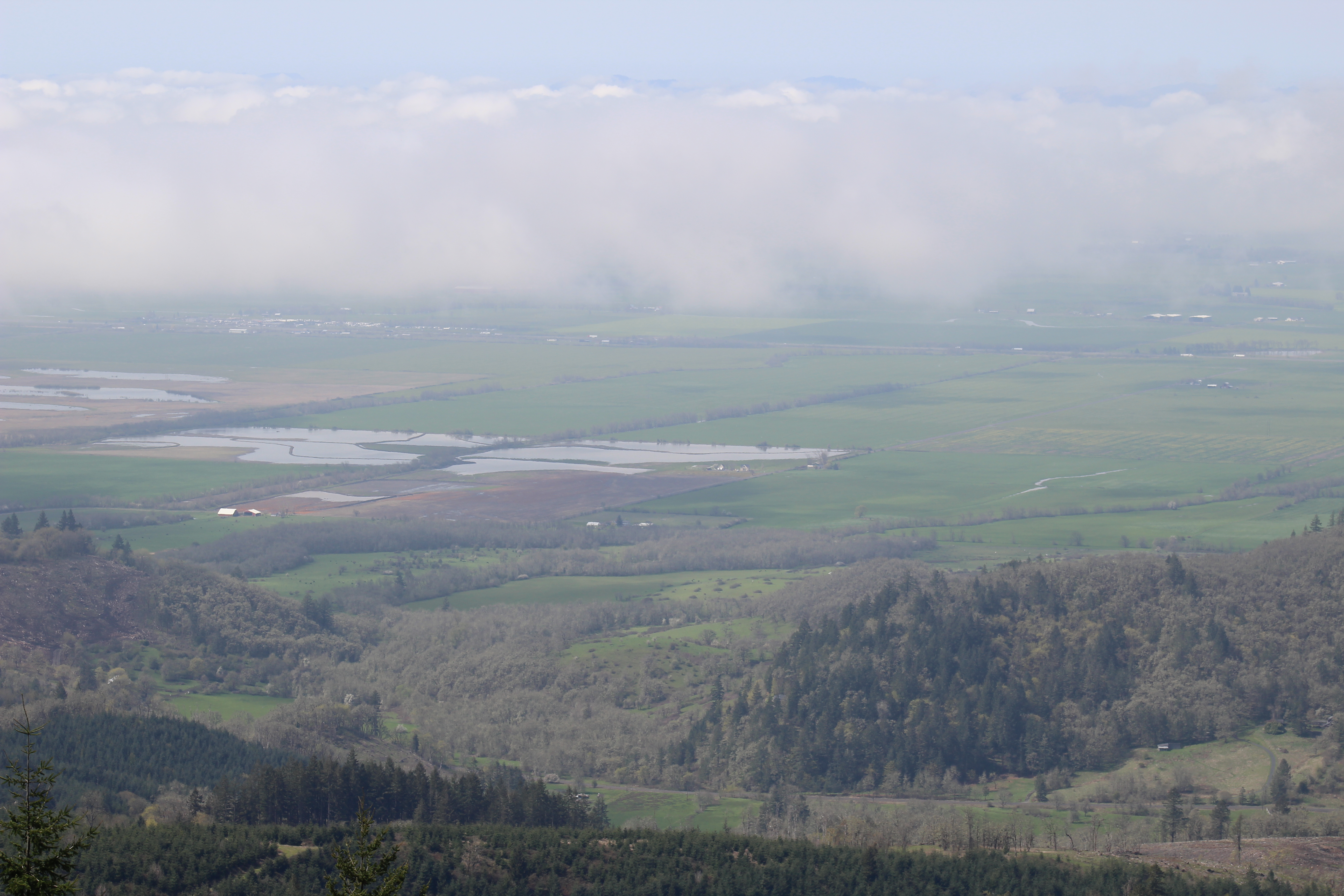
IMG_7230 Diamond Hill Road Wetlands
Crawfordsville, Oregon
Mapa de Mohawk River Rd, Marcola, OR, EE. UU.
Buscar otro lugar
Lugares cercanos
Mohawk River Rd, Marcola, OR, EE. UU.
Howard Road, Howard Rd, Oregon, EE. UU.
Marcola Rd, Marcola, OR, EE. UU.
Shotgun Creek Rd, Marcola, OR, EE. UU.
Earnest Bridge, Paschelke Rd, Marcola, OR, EE. UU.
Marcola Rd, Marcola, OR, EE. UU.
Calapooia, OR, EE. UU.
Shotgun Creek, Oregon, EE. UU.
Holley, OR, EE. UU.
Marcola, OR, EE. UU.
Pioch Lane, Pioch Ln, Springfield, OR, EE. UU.
Pioch Ln, Springfield, OR, EE. UU.
Parsons Creek Rd, Springfield, OR, EE. UU.
Old Holley Rd, Sweet Home, OR, EE. UU.
Parsons Creek Rd, Springfield, OR, EE. UU.
Boiler Creek Rd, Springfield, OR, EE. UU.
Conley Rd, Springfield, OR, EE. UU.
Upper Camp Creek Rd, Springfield, OR, EE. UU.
Oak Terrace, Sweet Home, OR, EE. UU.
Strawberry Loop, Sweet Home, OR, EE. UU.
Búsquedas recientes
- Horas de salida y puesta de sol de Red Dog Mine, AK, USA
- Horas de salida y puesta de sol de Am Bahnhof, Am bhf, Borken, Germany
- Horas de salida y puesta de sol de 4th St E, Sonoma, CA, EE. UU.
- Horas de salida y puesta de sol de Oakland Ave, Williamsport, PA, EE. UU.
- Horas de salida y puesta de sol de Via Roma, Pieranica CR, Italia
- Horas de salida y puesta de sol de Torre del reloj, Grad, Dubrovnik (Ragusa), Croacia
- Horas de salida y puesta de sol de Trelew, Chubut, Argentina
- Horas de salida y puesta de sol de Hartfords Bluff Cir, Mt Pleasant, SC, EE. UU.
- Horas de salida y puesta de sol de Kita Ward, Kumamoto, Japón
- Horas de salida y puesta de sol de Pingtan Island, Pingtan County, Fuzhou, China