Horas de salida y puesta de sol de Condado de Missoula, Montana, EE. UU.
Location: Estados Unidos > Montana >
Zona horaria:
America/Denver
Hora local:
2025-05-05 21:52:37
Longitud:
-113.6869923
Latitud:
47.0240503
Salida de sol de hoy:
06:10:04 AM
Puesta de sol de hoy:
08:52:34 PM
La duración del día hoy:
14h 42m 30s
Salida de sol de mañana:
06:08:38 AM
Puesta de sol de mañana:
08:53:53 PM
La duración del día mañana:
14h 45m 15s
Mostrar todas las fechas
| Fecha | Salida de sol | Puesta de sol | Duración del día |
|---|---|---|---|
| 01/01/2025 | 08:20:27 AM | 04:57:26 PM | 8h 36m 59s |
| 02/01/2025 | 08:20:22 AM | 04:58:26 PM | 8h 38m 4s |
| 03/01/2025 | 08:20:14 AM | 04:59:29 PM | 8h 39m 15s |
| 04/01/2025 | 08:20:03 AM | 05:00:33 PM | 8h 40m 30s |
| 05/01/2025 | 08:19:49 AM | 05:01:39 PM | 8h 41m 50s |
| 06/01/2025 | 08:19:33 AM | 05:02:47 PM | 8h 43m 14s |
| 07/01/2025 | 08:19:14 AM | 05:03:57 PM | 8h 44m 43s |
| 08/01/2025 | 08:18:52 AM | 05:05:09 PM | 8h 46m 17s |
| 09/01/2025 | 08:18:27 AM | 05:06:22 PM | 8h 47m 55s |
| 10/01/2025 | 08:18:00 AM | 05:07:36 PM | 8h 49m 36s |
| 11/01/2025 | 08:17:30 AM | 05:08:52 PM | 8h 51m 22s |
| 12/01/2025 | 08:16:57 AM | 05:10:10 PM | 8h 53m 13s |
| 13/01/2025 | 08:16:22 AM | 05:11:29 PM | 8h 55m 7s |
| 14/01/2025 | 08:15:44 AM | 05:12:49 PM | 8h 57m 5s |
| 15/01/2025 | 08:15:03 AM | 05:14:10 PM | 8h 59m 7s |
| 16/01/2025 | 08:14:20 AM | 05:15:32 PM | 9h 1m 12s |
| 17/01/2025 | 08:13:35 AM | 05:16:56 PM | 9h 3m 21s |
| 18/01/2025 | 08:12:47 AM | 05:18:20 PM | 9h 5m 33s |
| 19/01/2025 | 08:11:57 AM | 05:19:46 PM | 9h 7m 49s |
| 20/01/2025 | 08:11:04 AM | 05:21:12 PM | 9h 10m 8s |
| 21/01/2025 | 08:10:09 AM | 05:22:39 PM | 9h 12m 30s |
| 22/01/2025 | 08:09:12 AM | 05:24:07 PM | 9h 14m 55s |
| 23/01/2025 | 08:08:12 AM | 05:25:35 PM | 9h 17m 23s |
| 24/01/2025 | 08:07:11 AM | 05:27:04 PM | 9h 19m 53s |
| 25/01/2025 | 08:06:07 AM | 05:28:34 PM | 9h 22m 27s |
| 26/01/2025 | 08:05:01 AM | 05:30:04 PM | 9h 25m 3s |
| 27/01/2025 | 08:03:53 AM | 05:31:34 PM | 9h 27m 41s |
| 28/01/2025 | 08:02:43 AM | 05:33:05 PM | 9h 30m 22s |
| 29/01/2025 | 08:01:31 AM | 05:34:37 PM | 9h 33m 6s |
| 30/01/2025 | 08:00:16 AM | 05:36:08 PM | 9h 35m 52s |
| 31/01/2025 | 07:59:01 AM | 05:37:40 PM | 9h 38m 39s |
| 01/02/2025 | 07:57:43 AM | 05:39:13 PM | 9h 41m 30s |
| 02/02/2025 | 07:56:23 AM | 05:40:45 PM | 9h 44m 22s |
| 03/02/2025 | 07:55:02 AM | 05:42:17 PM | 9h 47m 15s |
| 04/02/2025 | 07:53:39 AM | 05:43:50 PM | 9h 50m 11s |
| 05/02/2025 | 07:52:14 AM | 05:45:22 PM | 9h 53m 8s |
| 06/02/2025 | 07:50:48 AM | 05:46:55 PM | 9h 56m 7s |
| 07/02/2025 | 07:49:20 AM | 05:48:28 PM | 9h 59m 8s |
| 08/02/2025 | 07:47:50 AM | 05:50:00 PM | 10h 2m 10s |
| 09/02/2025 | 07:46:19 AM | 05:51:33 PM | 10h 5m 14s |
| 10/02/2025 | 07:44:47 AM | 05:53:05 PM | 10h 8m 18s |
| 11/02/2025 | 07:43:13 AM | 05:54:38 PM | 10h 11m 25s |
| 12/02/2025 | 07:41:38 AM | 05:56:10 PM | 10h 14m 32s |
| 13/02/2025 | 07:40:01 AM | 05:57:42 PM | 10h 17m 41s |
| 14/02/2025 | 07:38:23 AM | 05:59:14 PM | 10h 20m 51s |
| 15/02/2025 | 07:36:44 AM | 06:00:46 PM | 10h 24m 2s |
| 16/02/2025 | 07:35:04 AM | 06:02:18 PM | 10h 27m 14s |
| 17/02/2025 | 07:33:22 AM | 06:03:49 PM | 10h 30m 27s |
| 18/02/2025 | 07:31:40 AM | 06:05:20 PM | 10h 33m 40s |
| 19/02/2025 | 07:29:56 AM | 06:06:51 PM | 10h 36m 55s |
| 20/02/2025 | 07:28:11 AM | 06:08:21 PM | 10h 40m 10s |
| 21/02/2025 | 07:26:26 AM | 06:09:52 PM | 10h 43m 26s |
| 22/02/2025 | 07:24:39 AM | 06:11:22 PM | 10h 46m 43s |
| 23/02/2025 | 07:22:51 AM | 06:12:52 PM | 10h 50m 1s |
| 24/02/2025 | 07:21:03 AM | 06:14:21 PM | 10h 53m 18s |
| 25/02/2025 | 07:19:13 AM | 06:15:51 PM | 10h 56m 38s |
| 26/02/2025 | 07:17:23 AM | 06:17:20 PM | 10h 59m 57s |
| 27/02/2025 | 07:15:32 AM | 06:18:48 PM | 11h 3m 16s |
| 28/02/2025 | 07:13:41 AM | 06:20:17 PM | 11h 6m 36s |
| 01/03/2025 | 07:11:48 AM | 06:21:45 PM | 11h 9m 57s |
| 02/03/2025 | 07:09:55 AM | 06:23:13 PM | 11h 13m 18s |
| 03/03/2025 | 07:08:01 AM | 06:24:41 PM | 11h 16m 40s |
| 04/03/2025 | 07:06:07 AM | 06:26:08 PM | 11h 20m 1s |
| 05/03/2025 | 07:04:12 AM | 06:27:35 PM | 11h 23m 23s |
| 06/03/2025 | 07:02:16 AM | 06:29:02 PM | 11h 26m 46s |
| 07/03/2025 | 07:00:20 AM | 06:30:28 PM | 11h 30m 8s |
| 08/03/2025 | 06:58:24 AM | 06:31:55 PM | 11h 33m 31s |
| 09/03/2025 | 07:56:32 AM | 07:33:17 PM | 11h 36m 45s |
| 10/03/2025 | 07:54:35 AM | 07:34:43 PM | 11h 40m 8s |
| 11/03/2025 | 07:52:37 AM | 07:36:09 PM | 11h 43m 32s |
| 12/03/2025 | 07:50:39 AM | 07:37:34 PM | 11h 46m 55s |
| 13/03/2025 | 07:48:41 AM | 07:38:59 PM | 11h 50m 18s |
| 14/03/2025 | 07:46:42 AM | 07:40:24 PM | 11h 53m 42s |
| 15/03/2025 | 07:44:43 AM | 07:41:49 PM | 11h 57m 6s |
| 16/03/2025 | 07:42:44 AM | 07:43:14 PM | 12h 0m 30s |
| 17/03/2025 | 07:40:45 AM | 07:44:38 PM | 12h 3m 53s |
| 18/03/2025 | 07:38:46 AM | 07:46:02 PM | 12h 7m 16s |
| 19/03/2025 | 07:36:46 AM | 07:47:26 PM | 12h 10m 40s |
| 20/03/2025 | 07:34:46 AM | 07:48:50 PM | 12h 14m 4s |
| 21/03/2025 | 07:32:47 AM | 07:50:14 PM | 12h 17m 27s |
| 22/03/2025 | 07:30:47 AM | 07:51:38 PM | 12h 20m 51s |
| 23/03/2025 | 07:28:47 AM | 07:53:02 PM | 12h 24m 15s |
| 24/03/2025 | 07:26:48 AM | 07:54:25 PM | 12h 27m 37s |
| 25/03/2025 | 07:24:48 AM | 07:55:48 PM | 12h 31m 0s |
| 26/03/2025 | 07:22:49 AM | 07:57:12 PM | 12h 34m 23s |
| 27/03/2025 | 07:20:49 AM | 07:58:35 PM | 12h 37m 46s |
| 28/03/2025 | 07:18:50 AM | 07:59:58 PM | 12h 41m 8s |
| 29/03/2025 | 07:16:51 AM | 08:01:21 PM | 12h 44m 30s |
| 30/03/2025 | 07:14:52 AM | 08:02:44 PM | 12h 47m 52s |
| 31/03/2025 | 07:12:54 AM | 08:04:07 PM | 12h 51m 13s |
| 01/04/2025 | 07:10:56 AM | 08:05:30 PM | 12h 54m 34s |
| 02/04/2025 | 07:08:58 AM | 08:06:53 PM | 12h 57m 55s |
| 03/04/2025 | 07:07:00 AM | 08:08:15 PM | 13h 1m 15s |
| 04/04/2025 | 07:05:03 AM | 08:09:38 PM | 13h 4m 35s |
| 05/04/2025 | 07:03:06 AM | 08:11:01 PM | 13h 7m 55s |
| 06/04/2025 | 07:01:10 AM | 08:12:24 PM | 13h 11m 14s |
| 07/04/2025 | 06:59:14 AM | 08:13:47 PM | 13h 14m 33s |
| 08/04/2025 | 06:57:18 AM | 08:15:09 PM | 13h 17m 51s |
| 09/04/2025 | 06:55:23 AM | 08:16:32 PM | 13h 21m 9s |
| 10/04/2025 | 06:53:29 AM | 08:17:55 PM | 13h 24m 26s |
| 11/04/2025 | 06:51:36 AM | 08:19:18 PM | 13h 27m 42s |
| 12/04/2025 | 06:49:43 AM | 08:20:40 PM | 13h 30m 57s |
| 13/04/2025 | 06:47:50 AM | 08:22:03 PM | 13h 34m 13s |
| 14/04/2025 | 06:45:59 AM | 08:23:26 PM | 13h 37m 27s |
| 15/04/2025 | 06:44:08 AM | 08:24:48 PM | 13h 40m 40s |
| 16/04/2025 | 06:42:17 AM | 08:26:11 PM | 13h 43m 54s |
| 17/04/2025 | 06:40:28 AM | 08:27:33 PM | 13h 47m 5s |
| 18/04/2025 | 06:38:40 AM | 08:28:56 PM | 13h 50m 16s |
| 19/04/2025 | 06:36:52 AM | 08:30:19 PM | 13h 53m 27s |
| 20/04/2025 | 06:35:05 AM | 08:31:41 PM | 13h 56m 36s |
| 21/04/2025 | 06:33:20 AM | 08:33:03 PM | 13h 59m 43s |
| 22/04/2025 | 06:31:35 AM | 08:34:26 PM | 14h 2m 51s |
| 23/04/2025 | 06:29:51 AM | 08:35:48 PM | 14h 5m 57s |
| 24/04/2025 | 06:28:09 AM | 08:37:10 PM | 14h 9m 1s |
| 25/04/2025 | 06:26:27 AM | 08:38:32 PM | 14h 12m 5s |
| 26/04/2025 | 06:24:47 AM | 08:39:54 PM | 14h 15m 7s |
| 27/04/2025 | 06:23:07 AM | 08:41:16 PM | 14h 18m 9s |
| 28/04/2025 | 06:21:29 AM | 08:42:37 PM | 14h 21m 8s |
| 29/04/2025 | 06:19:52 AM | 08:43:59 PM | 14h 24m 7s |
| 30/04/2025 | 06:18:17 AM | 08:45:20 PM | 14h 27m 3s |
| 01/05/2025 | 06:16:43 AM | 08:46:41 PM | 14h 29m 58s |
| 02/05/2025 | 06:15:10 AM | 08:48:01 PM | 14h 32m 51s |
| 03/05/2025 | 06:13:39 AM | 08:49:22 PM | 14h 35m 43s |
| 04/05/2025 | 06:12:09 AM | 08:50:42 PM | 14h 38m 33s |
| 05/05/2025 | 06:10:40 AM | 08:52:01 PM | 14h 41m 21s |
| 06/05/2025 | 06:09:13 AM | 08:53:21 PM | 14h 44m 8s |
| 07/05/2025 | 06:07:48 AM | 08:54:39 PM | 14h 46m 51s |
| 08/05/2025 | 06:06:24 AM | 08:55:58 PM | 14h 49m 34s |
| 09/05/2025 | 06:05:02 AM | 08:57:16 PM | 14h 52m 14s |
| 10/05/2025 | 06:03:42 AM | 08:58:33 PM | 14h 54m 51s |
| 11/05/2025 | 06:02:23 AM | 08:59:50 PM | 14h 57m 27s |
| 12/05/2025 | 06:01:06 AM | 09:01:06 PM | 15h 0m 0s |
| 13/05/2025 | 05:59:51 AM | 09:02:21 PM | 15h 2m 30s |
| 14/05/2025 | 05:58:37 AM | 09:03:36 PM | 15h 4m 59s |
| 15/05/2025 | 05:57:26 AM | 09:04:50 PM | 15h 7m 24s |
| 16/05/2025 | 05:56:16 AM | 09:06:03 PM | 15h 9m 47s |
| 17/05/2025 | 05:55:09 AM | 09:07:15 PM | 15h 12m 6s |
| 18/05/2025 | 05:54:03 AM | 09:08:27 PM | 15h 14m 24s |
| 19/05/2025 | 05:53:00 AM | 09:09:37 PM | 15h 16m 37s |
| 20/05/2025 | 05:51:58 AM | 09:10:47 PM | 15h 18m 49s |
| 21/05/2025 | 05:50:59 AM | 09:11:56 PM | 15h 20m 57s |
| 22/05/2025 | 05:50:01 AM | 09:13:03 PM | 15h 23m 2s |
| 23/05/2025 | 05:49:06 AM | 09:14:09 PM | 15h 25m 3s |
| 24/05/2025 | 05:48:13 AM | 09:15:14 PM | 15h 27m 1s |
| 25/05/2025 | 05:47:23 AM | 09:16:18 PM | 15h 28m 55s |
| 26/05/2025 | 05:46:34 AM | 09:17:20 PM | 15h 30m 46s |
| 27/05/2025 | 05:45:48 AM | 09:18:22 PM | 15h 32m 34s |
| 28/05/2025 | 05:45:04 AM | 09:19:21 PM | 15h 34m 17s |
| 29/05/2025 | 05:44:23 AM | 09:20:19 PM | 15h 35m 56s |
| 30/05/2025 | 05:43:44 AM | 09:21:16 PM | 15h 37m 32s |
| 31/05/2025 | 05:43:07 AM | 09:22:11 PM | 15h 39m 4s |
| 01/06/2025 | 05:42:33 AM | 09:23:05 PM | 15h 40m 32s |
| 02/06/2025 | 05:42:01 AM | 09:23:56 PM | 15h 41m 55s |
| 03/06/2025 | 05:41:32 AM | 09:24:46 PM | 15h 43m 14s |
| 04/06/2025 | 05:41:05 AM | 09:25:34 PM | 15h 44m 29s |
| 05/06/2025 | 05:40:40 AM | 09:26:21 PM | 15h 45m 41s |
| 06/06/2025 | 05:40:18 AM | 09:27:05 PM | 15h 46m 47s |
| 07/06/2025 | 05:39:59 AM | 09:27:48 PM | 15h 47m 49s |
| 08/06/2025 | 05:39:42 AM | 09:28:28 PM | 15h 48m 46s |
| 09/06/2025 | 05:39:28 AM | 09:29:06 PM | 15h 49m 38s |
| 10/06/2025 | 05:39:16 AM | 09:29:43 PM | 15h 50m 27s |
| 11/06/2025 | 05:39:06 AM | 09:30:17 PM | 15h 51m 11s |
| 12/06/2025 | 05:39:00 AM | 09:30:49 PM | 15h 51m 49s |
| 13/06/2025 | 05:38:55 AM | 09:31:19 PM | 15h 52m 24s |
| 14/06/2025 | 05:38:53 AM | 09:31:46 PM | 15h 52m 53s |
| 15/06/2025 | 05:38:54 AM | 09:32:11 PM | 15h 53m 17s |
| 16/06/2025 | 05:38:57 AM | 09:32:34 PM | 15h 53m 37s |
| 17/06/2025 | 05:39:03 AM | 09:32:54 PM | 15h 53m 51s |
| 18/06/2025 | 05:39:11 AM | 09:33:12 PM | 15h 54m 1s |
| 19/06/2025 | 05:39:22 AM | 09:33:28 PM | 15h 54m 6s |
| 20/06/2025 | 05:39:35 AM | 09:33:41 PM | 15h 54m 6s |
| 21/06/2025 | 05:39:50 AM | 09:33:52 PM | 15h 54m 2s |
| 22/06/2025 | 05:40:08 AM | 09:34:00 PM | 15h 53m 52s |
| 23/06/2025 | 05:40:28 AM | 09:34:06 PM | 15h 53m 38s |
| 24/06/2025 | 05:40:50 AM | 09:34:09 PM | 15h 53m 19s |
| 25/06/2025 | 05:41:15 AM | 09:34:09 PM | 15h 52m 54s |
| 26/06/2025 | 05:41:42 AM | 09:34:07 PM | 15h 52m 25s |
| 27/06/2025 | 05:42:11 AM | 09:34:03 PM | 15h 51m 52s |
| 28/06/2025 | 05:42:42 AM | 09:33:56 PM | 15h 51m 14s |
| 29/06/2025 | 05:43:15 AM | 09:33:46 PM | 15h 50m 31s |
| 30/06/2025 | 05:43:51 AM | 09:33:34 PM | 15h 49m 43s |
| 01/07/2025 | 05:44:28 AM | 09:33:19 PM | 15h 48m 51s |
| 02/07/2025 | 05:45:08 AM | 09:33:02 PM | 15h 47m 54s |
| 03/07/2025 | 05:45:49 AM | 09:32:42 PM | 15h 46m 53s |
| 04/07/2025 | 05:46:32 AM | 09:32:19 PM | 15h 45m 47s |
| 05/07/2025 | 05:47:17 AM | 09:31:54 PM | 15h 44m 37s |
| 06/07/2025 | 05:48:04 AM | 09:31:27 PM | 15h 43m 23s |
| 07/07/2025 | 05:48:53 AM | 09:30:57 PM | 15h 42m 4s |
| 08/07/2025 | 05:49:43 AM | 09:30:24 PM | 15h 40m 41s |
| 09/07/2025 | 05:50:35 AM | 09:29:49 PM | 15h 39m 14s |
| 10/07/2025 | 05:51:28 AM | 09:29:12 PM | 15h 37m 44s |
| 11/07/2025 | 05:52:23 AM | 09:28:32 PM | 15h 36m 9s |
| 12/07/2025 | 05:53:19 AM | 09:27:50 PM | 15h 34m 31s |
| 13/07/2025 | 05:54:17 AM | 09:27:05 PM | 15h 32m 48s |
| 14/07/2025 | 05:55:16 AM | 09:26:18 PM | 15h 31m 2s |
| 15/07/2025 | 05:56:17 AM | 09:25:29 PM | 15h 29m 12s |
| 16/07/2025 | 05:57:18 AM | 09:24:37 PM | 15h 27m 19s |
| 17/07/2025 | 05:58:21 AM | 09:23:44 PM | 15h 25m 23s |
| 18/07/2025 | 05:59:25 AM | 09:22:48 PM | 15h 23m 23s |
| 19/07/2025 | 06:00:30 AM | 09:21:49 PM | 15h 21m 19s |
| 20/07/2025 | 06:01:36 AM | 09:20:49 PM | 15h 19m 13s |
| 21/07/2025 | 06:02:43 AM | 09:19:47 PM | 15h 17m 4s |
| 22/07/2025 | 06:03:51 AM | 09:18:42 PM | 15h 14m 51s |
| 23/07/2025 | 06:05:00 AM | 09:17:35 PM | 15h 12m 35s |
| 24/07/2025 | 06:06:09 AM | 09:16:27 PM | 15h 10m 18s |
| 25/07/2025 | 06:07:20 AM | 09:15:16 PM | 15h 7m 56s |
| 26/07/2025 | 06:08:31 AM | 09:14:04 PM | 15h 5m 33s |
| 27/07/2025 | 06:09:43 AM | 09:12:50 PM | 15h 3m 7s |
| 28/07/2025 | 06:10:55 AM | 09:11:33 PM | 15h 0m 38s |
| 29/07/2025 | 06:12:08 AM | 09:10:15 PM | 14h 58m 7s |
| 30/07/2025 | 06:13:22 AM | 09:08:56 PM | 14h 55m 34s |
| 31/07/2025 | 06:14:36 AM | 09:07:34 PM | 14h 52m 58s |
| 01/08/2025 | 06:15:50 AM | 09:06:11 PM | 14h 50m 21s |
| 02/08/2025 | 06:17:05 AM | 09:04:46 PM | 14h 47m 41s |
| 03/08/2025 | 06:18:21 AM | 09:03:19 PM | 14h 44m 58s |
| 04/08/2025 | 06:19:36 AM | 09:01:51 PM | 14h 42m 15s |
| 05/08/2025 | 06:20:52 AM | 09:00:22 PM | 14h 39m 30s |
| 06/08/2025 | 06:22:09 AM | 08:58:51 PM | 14h 36m 42s |
| 07/08/2025 | 06:23:26 AM | 08:57:18 PM | 14h 33m 52s |
| 08/08/2025 | 06:24:42 AM | 08:55:44 PM | 14h 31m 2s |
| 09/08/2025 | 06:26:00 AM | 08:54:09 PM | 14h 28m 9s |
| 10/08/2025 | 06:27:17 AM | 08:52:32 PM | 14h 25m 15s |
| 11/08/2025 | 06:28:34 AM | 08:50:54 PM | 14h 22m 20s |
| 12/08/2025 | 06:29:52 AM | 08:49:15 PM | 14h 19m 23s |
| 13/08/2025 | 06:31:10 AM | 08:47:35 PM | 14h 16m 25s |
| 14/08/2025 | 06:32:28 AM | 08:45:53 PM | 14h 13m 25s |
| 15/08/2025 | 06:33:46 AM | 08:44:11 PM | 14h 10m 25s |
| 16/08/2025 | 06:35:04 AM | 08:42:27 PM | 14h 7m 23s |
| 17/08/2025 | 06:36:22 AM | 08:40:42 PM | 14h 4m 20s |
| 18/08/2025 | 06:37:40 AM | 08:38:56 PM | 14h 1m 16s |
| 19/08/2025 | 06:38:58 AM | 08:37:09 PM | 13h 58m 11s |
| 20/08/2025 | 06:40:17 AM | 08:35:21 PM | 13h 55m 4s |
| 21/08/2025 | 06:41:35 AM | 08:33:32 PM | 13h 51m 57s |
| 22/08/2025 | 06:42:53 AM | 08:31:42 PM | 13h 48m 49s |
| 23/08/2025 | 06:44:12 AM | 08:29:52 PM | 13h 45m 40s |
| 24/08/2025 | 06:45:30 AM | 08:28:00 PM | 13h 42m 30s |
| 25/08/2025 | 06:46:48 AM | 08:26:08 PM | 13h 39m 20s |
| 26/08/2025 | 06:48:06 AM | 08:24:15 PM | 13h 36m 9s |
| 27/08/2025 | 06:49:25 AM | 08:22:22 PM | 13h 32m 57s |
| 28/08/2025 | 06:50:43 AM | 08:20:27 PM | 13h 29m 44s |
| 29/08/2025 | 06:52:01 AM | 08:18:32 PM | 13h 26m 31s |
| 30/08/2025 | 06:53:19 AM | 08:16:36 PM | 13h 23m 17s |
| 31/08/2025 | 06:54:37 AM | 08:14:40 PM | 13h 20m 3s |
| 01/09/2025 | 06:55:55 AM | 08:12:43 PM | 13h 16m 48s |
| 02/09/2025 | 06:57:13 AM | 08:10:46 PM | 13h 13m 33s |
| 03/09/2025 | 06:58:31 AM | 08:08:48 PM | 13h 10m 17s |
| 04/09/2025 | 06:59:50 AM | 08:06:50 PM | 13h 7m 0s |
| 05/09/2025 | 07:01:08 AM | 08:04:51 PM | 13h 3m 43s |
| 06/09/2025 | 07:02:26 AM | 08:02:52 PM | 13h 0m 26s |
| 07/09/2025 | 07:03:44 AM | 08:00:53 PM | 12h 57m 9s |
| 08/09/2025 | 07:05:02 AM | 07:58:53 PM | 12h 53m 51s |
| 09/09/2025 | 07:06:20 AM | 07:56:53 PM | 12h 50m 33s |
| 10/09/2025 | 07:07:38 AM | 07:54:53 PM | 12h 47m 15s |
| 11/09/2025 | 07:08:56 AM | 07:52:52 PM | 12h 43m 56s |
| 12/09/2025 | 07:10:14 AM | 07:50:51 PM | 12h 40m 37s |
| 13/09/2025 | 07:11:33 AM | 07:48:50 PM | 12h 37m 17s |
| 14/09/2025 | 07:12:51 AM | 07:46:49 PM | 12h 33m 58s |
| 15/09/2025 | 07:14:09 AM | 07:44:48 PM | 12h 30m 39s |
| 16/09/2025 | 07:15:28 AM | 07:42:46 PM | 12h 27m 18s |
| 17/09/2025 | 07:16:46 AM | 07:40:45 PM | 12h 23m 59s |
| 18/09/2025 | 07:18:05 AM | 07:38:43 PM | 12h 20m 38s |
| 19/09/2025 | 07:19:24 AM | 07:36:42 PM | 12h 17m 18s |
| 20/09/2025 | 07:20:43 AM | 07:34:40 PM | 12h 13m 57s |
| 21/09/2025 | 07:22:02 AM | 07:32:39 PM | 12h 10m 37s |
| 22/09/2025 | 07:23:21 AM | 07:30:38 PM | 12h 7m 17s |
| 23/09/2025 | 07:24:40 AM | 07:28:37 PM | 12h 3m 57s |
| 24/09/2025 | 07:26:00 AM | 07:26:36 PM | 12h 0m 36s |
| 25/09/2025 | 07:27:20 AM | 07:24:35 PM | 11h 57m 15s |
| 26/09/2025 | 07:28:39 AM | 07:22:34 PM | 11h 53m 55s |
| 27/09/2025 | 07:29:59 AM | 07:20:34 PM | 11h 50m 35s |
| 28/09/2025 | 07:31:20 AM | 07:18:33 PM | 11h 47m 13s |
| 29/09/2025 | 07:32:40 AM | 07:16:34 PM | 11h 43m 54s |
| 30/09/2025 | 07:34:01 AM | 07:14:34 PM | 11h 40m 33s |
| 01/10/2025 | 07:35:22 AM | 07:12:35 PM | 11h 37m 13s |
| 02/10/2025 | 07:36:43 AM | 07:10:36 PM | 11h 33m 53s |
| 03/10/2025 | 07:38:05 AM | 07:08:38 PM | 11h 30m 33s |
| 04/10/2025 | 07:39:26 AM | 07:06:40 PM | 11h 27m 14s |
| 05/10/2025 | 07:40:48 AM | 07:04:43 PM | 11h 23m 55s |
| 06/10/2025 | 07:42:10 AM | 07:02:46 PM | 11h 20m 36s |
| 07/10/2025 | 07:43:33 AM | 07:00:50 PM | 11h 17m 17s |
| 08/10/2025 | 07:44:56 AM | 06:58:54 PM | 11h 13m 58s |
| 09/10/2025 | 07:46:19 AM | 06:56:59 PM | 11h 10m 40s |
| 10/10/2025 | 07:47:42 AM | 06:55:05 PM | 11h 7m 23s |
| 11/10/2025 | 07:49:06 AM | 06:53:11 PM | 11h 4m 5s |
| 12/10/2025 | 07:50:30 AM | 06:51:18 PM | 11h 0m 48s |
| 13/10/2025 | 07:51:54 AM | 06:49:26 PM | 10h 57m 32s |
| 14/10/2025 | 07:53:19 AM | 06:47:34 PM | 10h 54m 15s |
| 15/10/2025 | 07:54:44 AM | 06:45:44 PM | 10h 51m 0s |
| 16/10/2025 | 07:56:09 AM | 06:43:54 PM | 10h 47m 45s |
| 17/10/2025 | 07:57:34 AM | 06:42:05 PM | 10h 44m 31s |
| 18/10/2025 | 07:59:00 AM | 06:40:17 PM | 10h 41m 17s |
| 19/10/2025 | 08:00:26 AM | 06:38:30 PM | 10h 38m 4s |
| 20/10/2025 | 08:01:53 AM | 06:36:45 PM | 10h 34m 52s |
| 21/10/2025 | 08:03:19 AM | 06:35:00 PM | 10h 31m 41s |
| 22/10/2025 | 08:04:46 AM | 06:33:16 PM | 10h 28m 30s |
| 23/10/2025 | 08:06:14 AM | 06:31:34 PM | 10h 25m 20s |
| 24/10/2025 | 08:07:41 AM | 06:29:52 PM | 10h 22m 11s |
| 25/10/2025 | 08:09:09 AM | 06:28:12 PM | 10h 19m 3s |
| 26/10/2025 | 08:10:37 AM | 06:26:33 PM | 10h 15m 56s |
| 27/10/2025 | 08:12:05 AM | 06:24:56 PM | 10h 12m 51s |
| 28/10/2025 | 08:13:33 AM | 06:23:19 PM | 10h 9m 46s |
| 29/10/2025 | 08:15:01 AM | 06:21:44 PM | 10h 6m 43s |
| 30/10/2025 | 08:16:30 AM | 06:20:11 PM | 10h 3m 41s |
| 31/10/2025 | 08:17:59 AM | 06:18:39 PM | 10h 0m 40s |
| 01/11/2025 | 08:19:27 AM | 06:17:08 PM | 9h 57m 41s |
| 02/11/2025 | 07:21:00 AM | 05:15:36 PM | 9h 54m 36s |
| 03/11/2025 | 07:22:29 AM | 05:14:09 PM | 9h 51m 40s |
| 04/11/2025 | 07:23:58 AM | 05:12:43 PM | 9h 48m 45s |
| 05/11/2025 | 07:25:27 AM | 05:11:19 PM | 9h 45m 52s |
| 06/11/2025 | 07:26:56 AM | 05:09:57 PM | 9h 43m 1s |
| 07/11/2025 | 07:28:24 AM | 05:08:36 PM | 9h 40m 12s |
| 08/11/2025 | 07:29:53 AM | 05:07:18 PM | 9h 37m 25s |
| 09/11/2025 | 07:31:21 AM | 05:06:01 PM | 9h 34m 40s |
| 10/11/2025 | 07:32:50 AM | 05:04:46 PM | 9h 31m 56s |
| 11/11/2025 | 07:34:18 AM | 05:03:33 PM | 9h 29m 15s |
| 12/11/2025 | 07:35:45 AM | 05:02:22 PM | 9h 26m 37s |
| 13/11/2025 | 07:37:13 AM | 05:01:14 PM | 9h 24m 1s |
| 14/11/2025 | 07:38:40 AM | 05:00:07 PM | 9h 21m 27s |
| 15/11/2025 | 07:40:06 AM | 04:59:02 PM | 9h 18m 56s |
| 16/11/2025 | 07:41:32 AM | 04:58:00 PM | 9h 16m 28s |
| 17/11/2025 | 07:42:58 AM | 04:57:00 PM | 9h 14m 2s |
| 18/11/2025 | 07:44:22 AM | 04:56:02 PM | 9h 11m 40s |
| 19/11/2025 | 07:45:46 AM | 04:55:06 PM | 9h 9m 20s |
| 20/11/2025 | 07:47:10 AM | 04:54:13 PM | 9h 7m 3s |
| 21/11/2025 | 07:48:32 AM | 04:53:22 PM | 9h 4m 50s |
| 22/11/2025 | 07:49:54 AM | 04:52:33 PM | 9h 2m 39s |
| 23/11/2025 | 07:51:15 AM | 04:51:47 PM | 9h 0m 32s |
| 24/11/2025 | 07:52:35 AM | 04:51:04 PM | 8h 58m 29s |
| 25/11/2025 | 07:53:54 AM | 04:50:23 PM | 8h 56m 29s |
| 26/11/2025 | 07:55:11 AM | 04:49:45 PM | 8h 54m 34s |
| 27/11/2025 | 07:56:28 AM | 04:49:09 PM | 8h 52m 41s |
| 28/11/2025 | 07:57:43 AM | 04:48:36 PM | 8h 50m 53s |
| 29/11/2025 | 07:58:57 AM | 04:48:05 PM | 8h 49m 8s |
| 30/11/2025 | 08:00:10 AM | 04:47:37 PM | 8h 47m 27s |
| 01/12/2025 | 08:01:21 AM | 04:47:12 PM | 8h 45m 51s |
| 02/12/2025 | 08:02:30 AM | 04:46:50 PM | 8h 44m 20s |
| 03/12/2025 | 08:03:38 AM | 04:46:31 PM | 8h 42m 53s |
| 04/12/2025 | 08:04:44 AM | 04:46:14 PM | 8h 41m 30s |
| 05/12/2025 | 08:05:49 AM | 04:46:00 PM | 8h 40m 11s |
| 06/12/2025 | 08:06:52 AM | 04:45:49 PM | 8h 38m 57s |
| 07/12/2025 | 08:07:52 AM | 04:45:41 PM | 8h 37m 49s |
| 08/12/2025 | 08:08:51 AM | 04:45:35 PM | 8h 36m 44s |
| 09/12/2025 | 08:09:48 AM | 04:45:33 PM | 8h 35m 45s |
| 10/12/2025 | 08:10:43 AM | 04:45:33 PM | 8h 34m 50s |
| 11/12/2025 | 08:11:36 AM | 04:45:36 PM | 8h 34m 0s |
| 12/12/2025 | 08:12:26 AM | 04:45:42 PM | 8h 33m 16s |
| 13/12/2025 | 08:13:15 AM | 04:45:51 PM | 8h 32m 36s |
| 14/12/2025 | 08:14:01 AM | 04:46:03 PM | 8h 32m 2s |
| 15/12/2025 | 08:14:44 AM | 04:46:18 PM | 8h 31m 34s |
| 16/12/2025 | 08:15:25 AM | 04:46:35 PM | 8h 31m 10s |
| 17/12/2025 | 08:16:04 AM | 04:46:55 PM | 8h 30m 51s |
| 18/12/2025 | 08:16:40 AM | 04:47:18 PM | 8h 30m 38s |
| 19/12/2025 | 08:17:14 AM | 04:47:44 PM | 8h 30m 30s |
| 20/12/2025 | 08:17:45 AM | 04:48:12 PM | 8h 30m 27s |
| 21/12/2025 | 08:18:14 AM | 04:48:44 PM | 8h 30m 30s |
| 22/12/2025 | 08:18:40 AM | 04:49:17 PM | 8h 30m 37s |
| 23/12/2025 | 08:19:03 AM | 04:49:54 PM | 8h 30m 51s |
| 24/12/2025 | 08:19:24 AM | 04:50:33 PM | 8h 31m 9s |
| 25/12/2025 | 08:19:41 AM | 04:51:14 PM | 8h 31m 33s |
| 26/12/2025 | 08:19:56 AM | 04:51:58 PM | 8h 32m 2s |
| 27/12/2025 | 08:20:09 AM | 04:52:45 PM | 8h 32m 36s |
| 28/12/2025 | 08:20:18 AM | 04:53:33 PM | 8h 33m 15s |
| 29/12/2025 | 08:20:25 AM | 04:54:25 PM | 8h 34m 0s |
| 30/12/2025 | 08:20:28 AM | 04:55:18 PM | 8h 34m 50s |
| 31/12/2025 | 08:20:30 AM | 04:56:14 PM | 8h 35m 44s |
Fotos
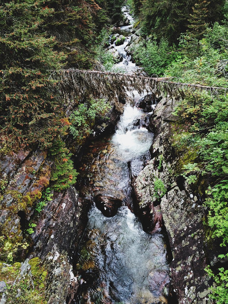
Blackfoot Fall Scene
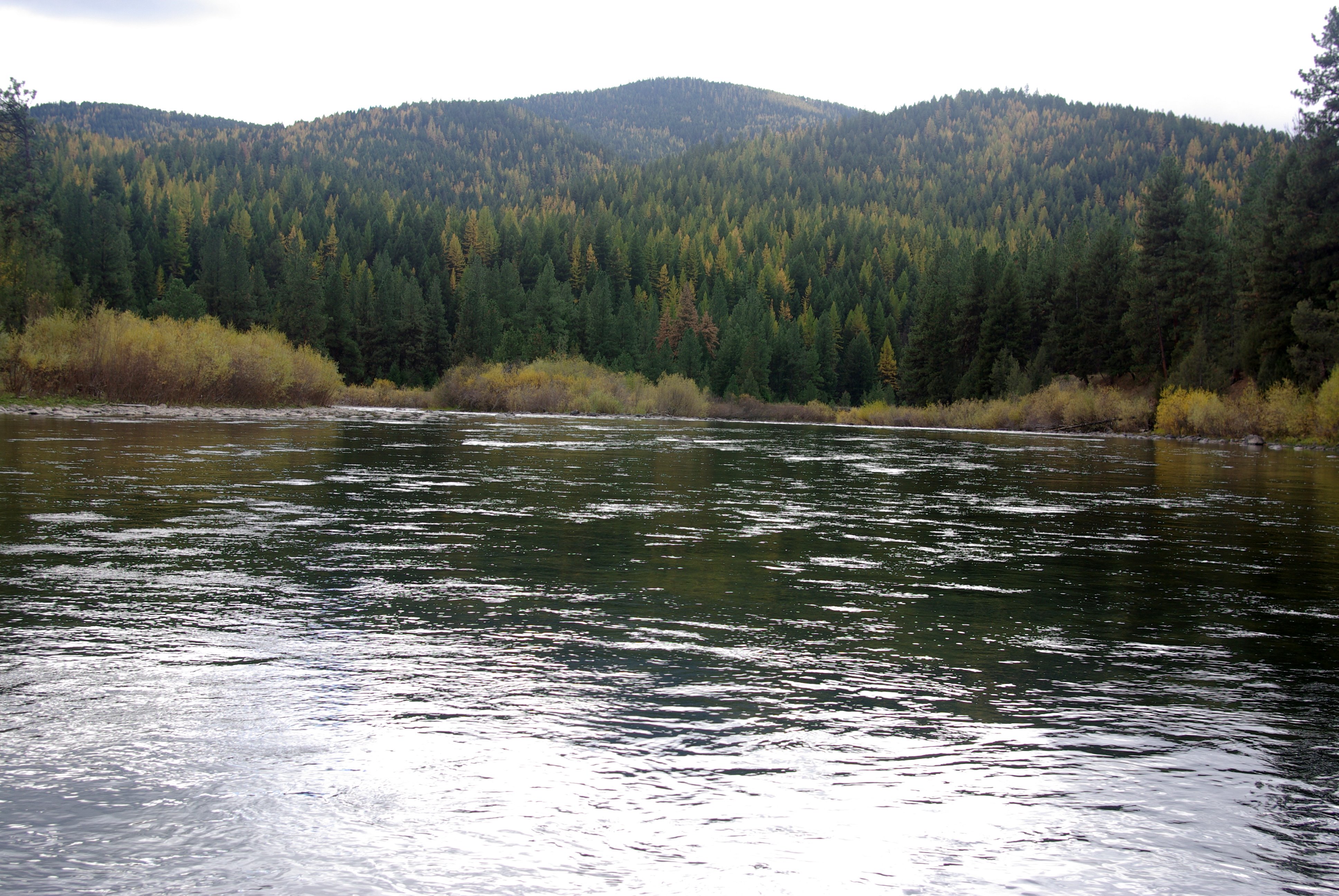
Blackfoot Fall Scene

Blackfoot Fall Scene
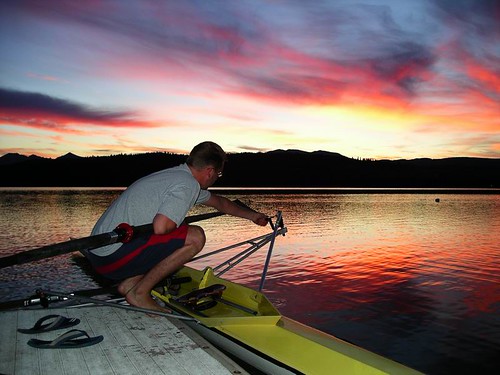
Putting in

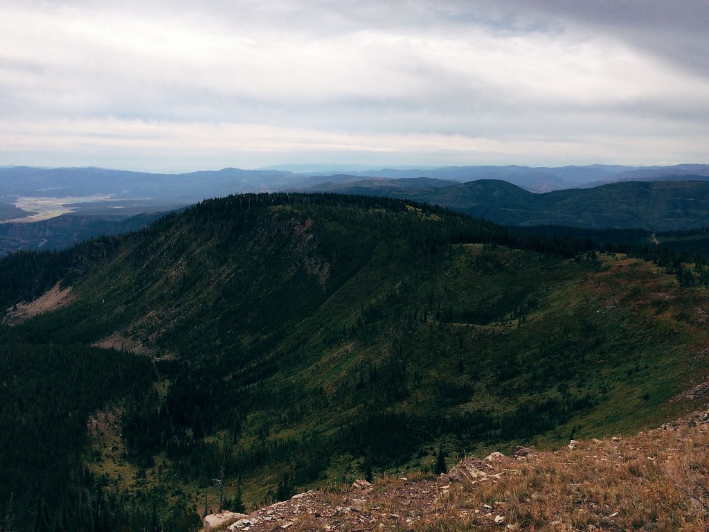
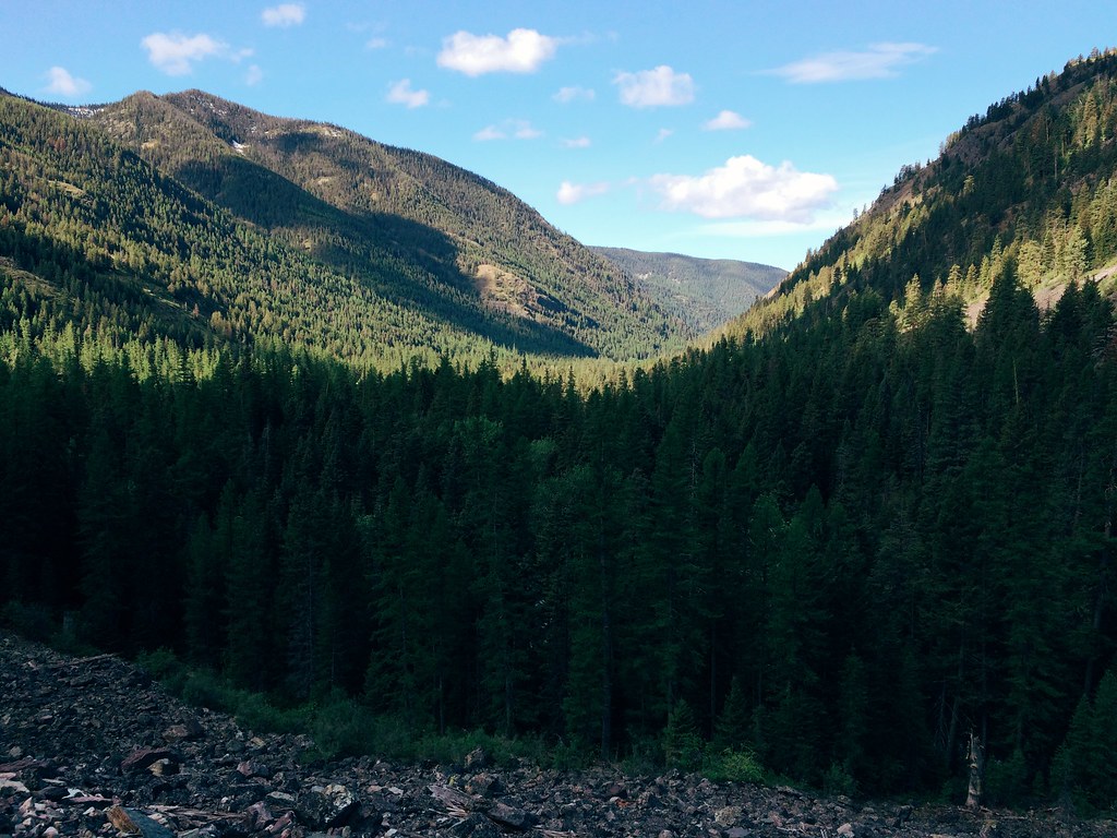
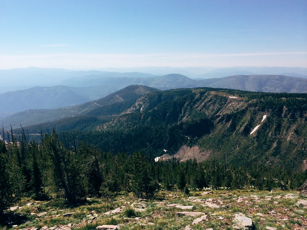
The view of Sheep Mountain
The view of the Rattlesnake on the 26-mile Sheep Mountain loop
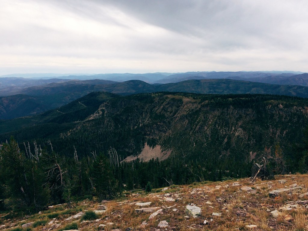
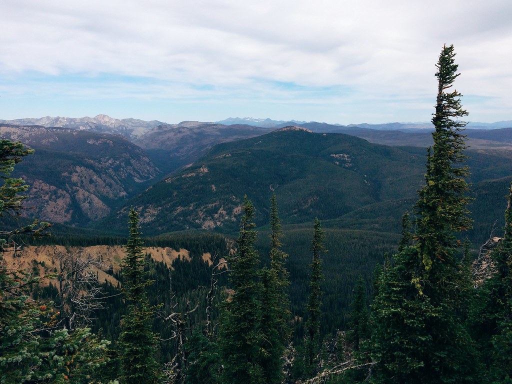
The view from the 26-mile Sheep Mountain loop
The view of the Blackfoot on the 26-mile Sheep Mountain loop

SDIM1385 hills near Missoula, Montana
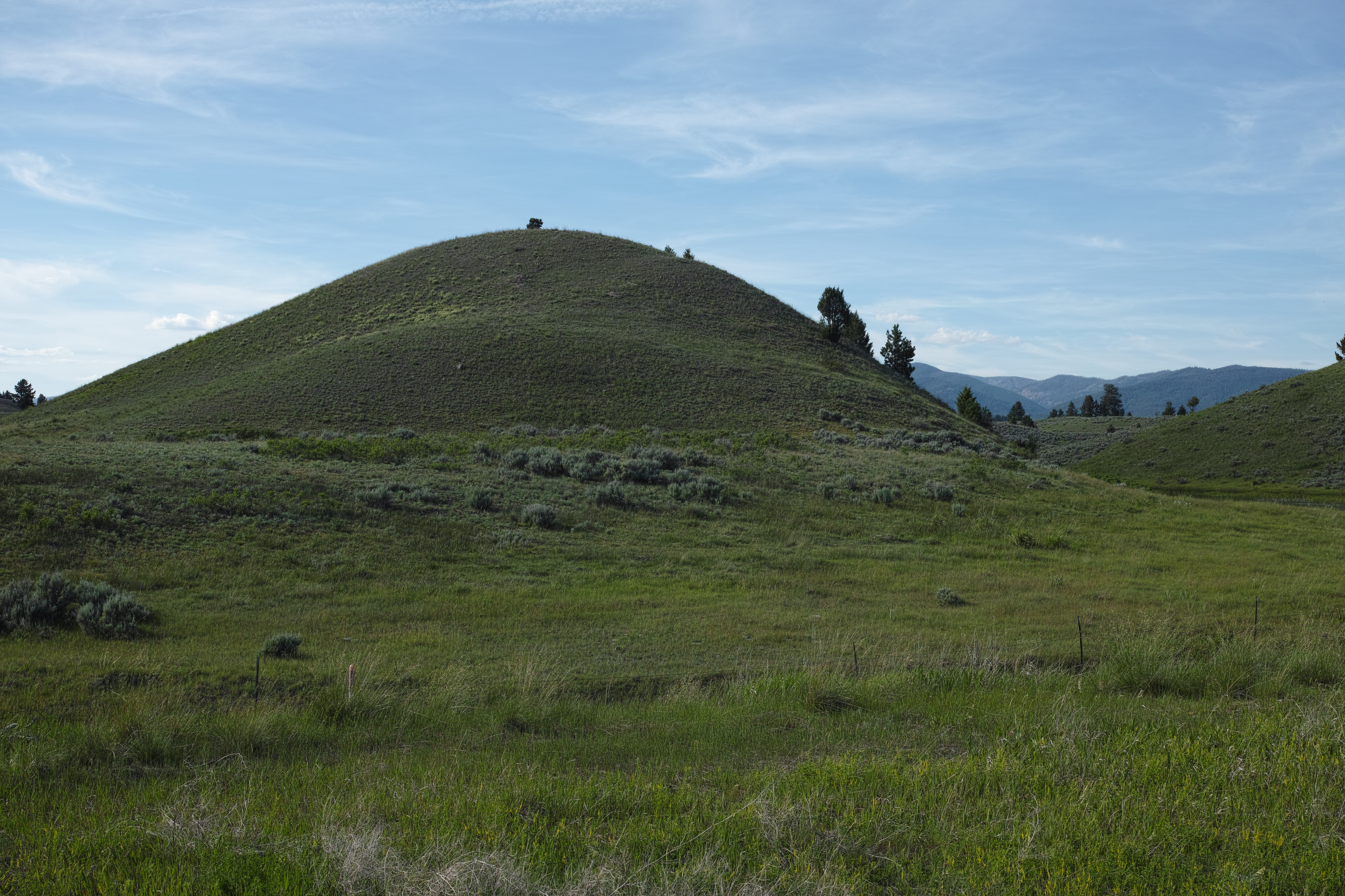
SDIM1383 hiils near Missoula, Montana

Grandma Jackie & Sonnet take a nap
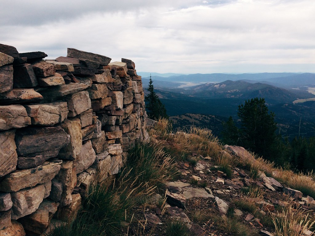
The Sheep Mountain shelter
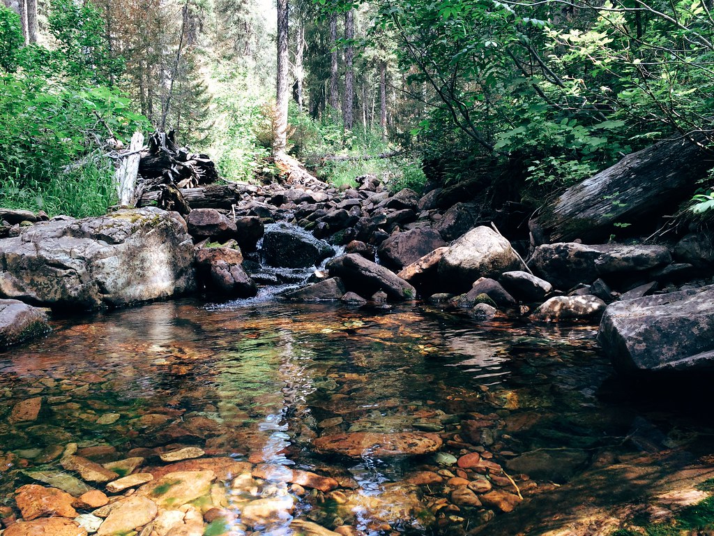
The East Fork of Rattlesnake Creek, along the 26-mile Sheep Mountain loop

Up the Rattlesnake drainage on a 20-mile trail run
Up the Rattlesnake drainage on a 20-mile trail run
Up the Rattlesnake drainage on a 20-mile trail run

Up the Rattlesnake drainage on a 20-mile trail run
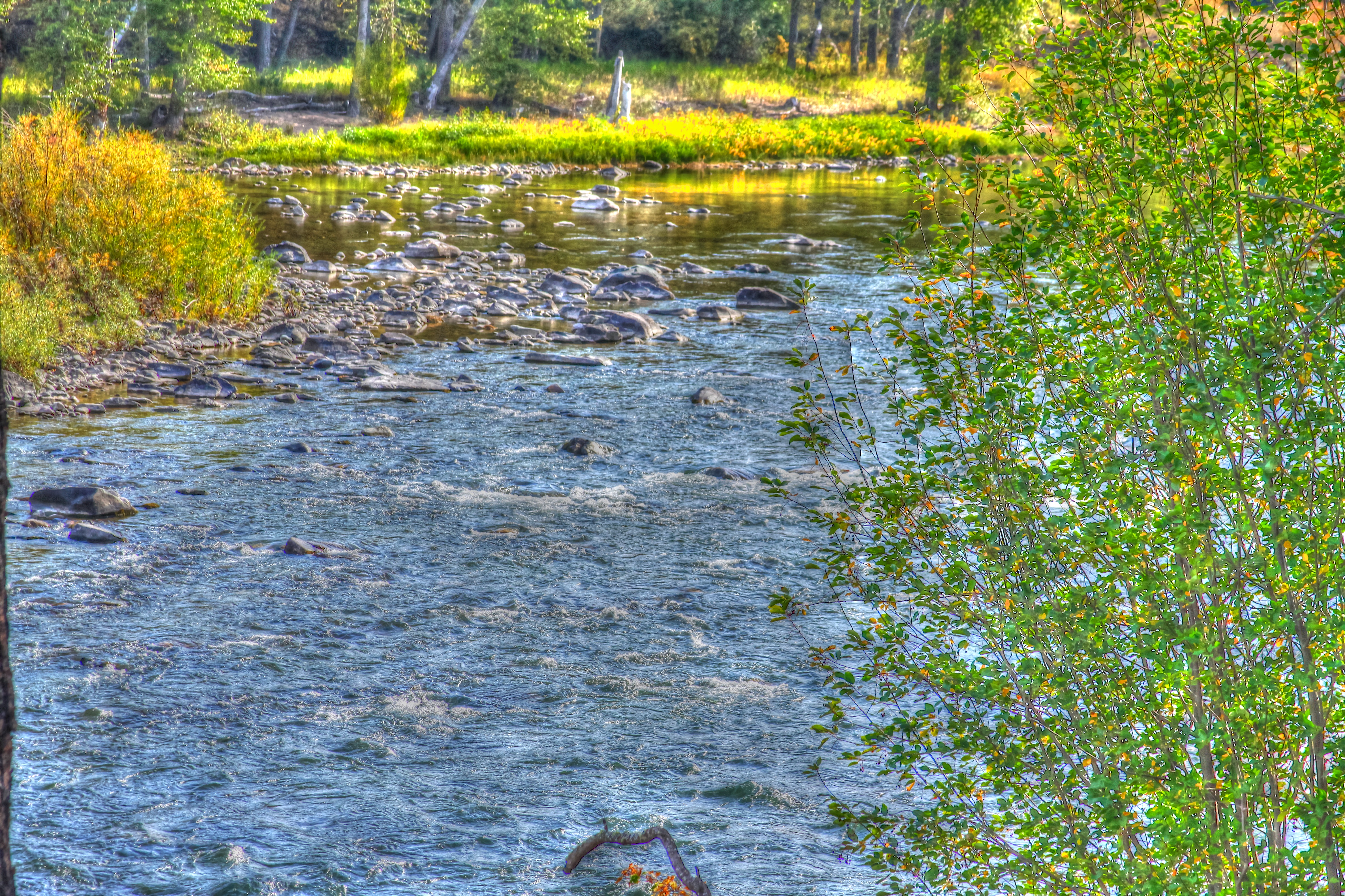
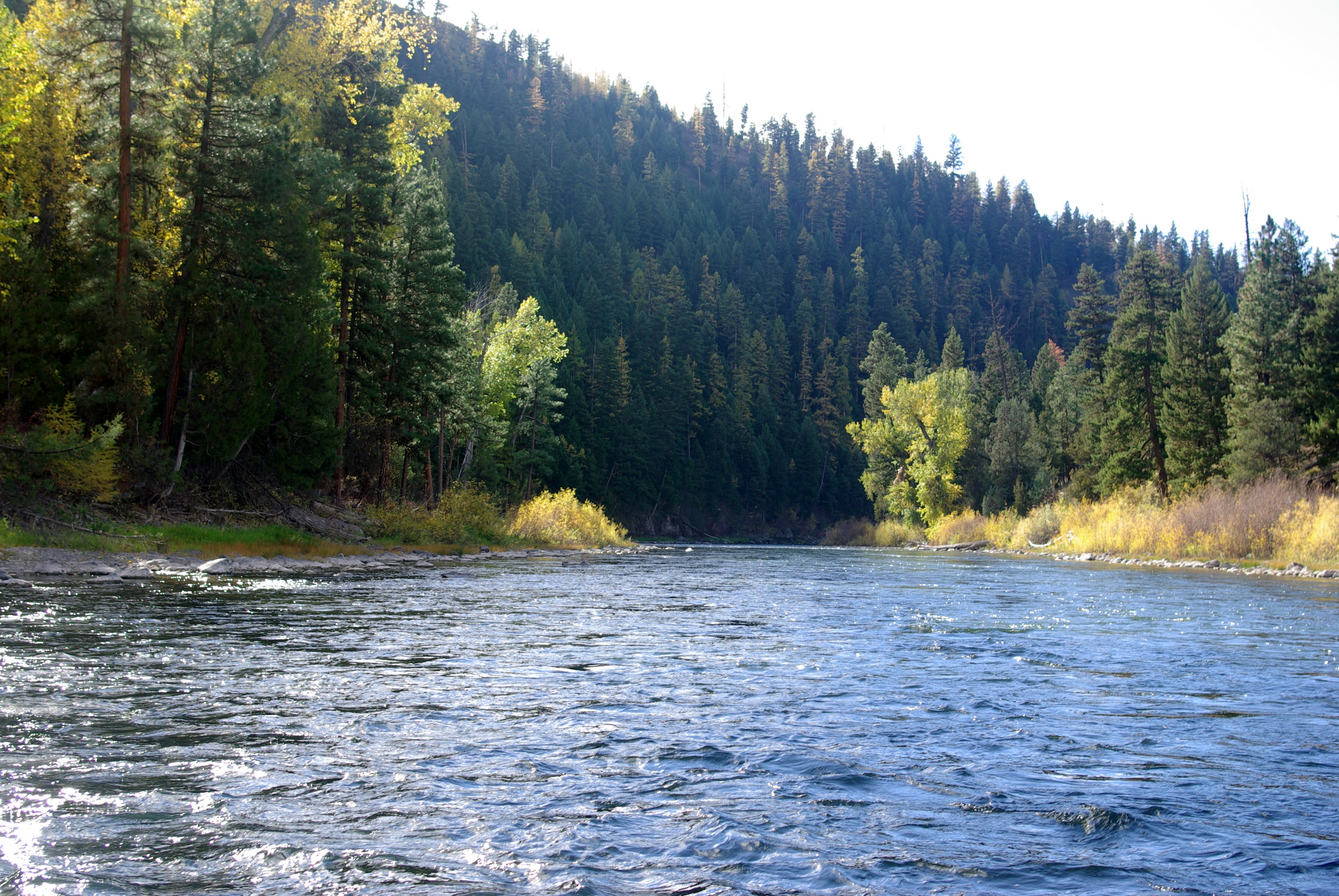
Rapids in the Blackfoot River, Montana
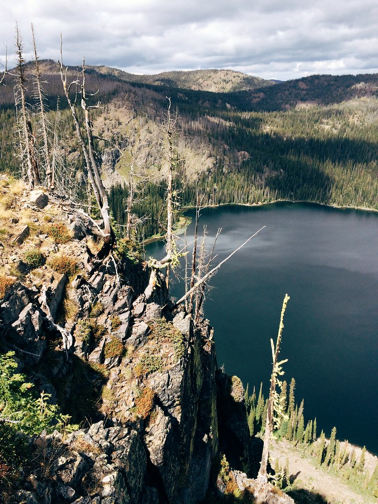
Down to Boulder Lake in the Rattlesnake Wilderness
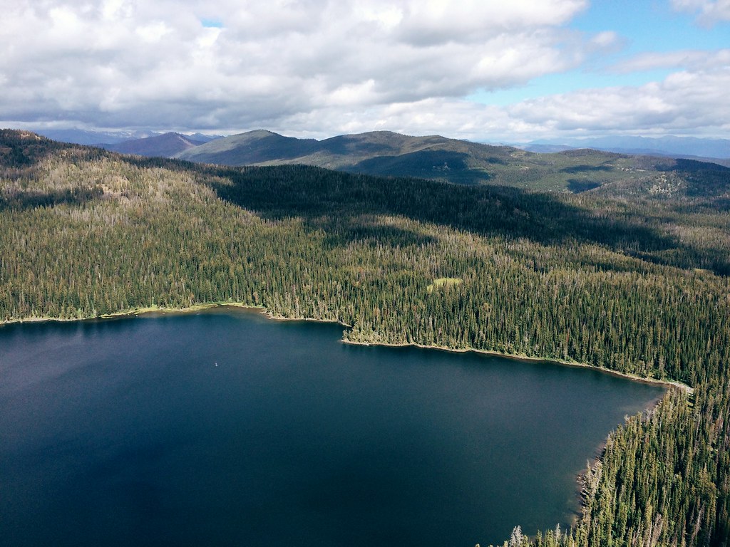
Down to Boulder Lake in the Rattlesnake Wilderness
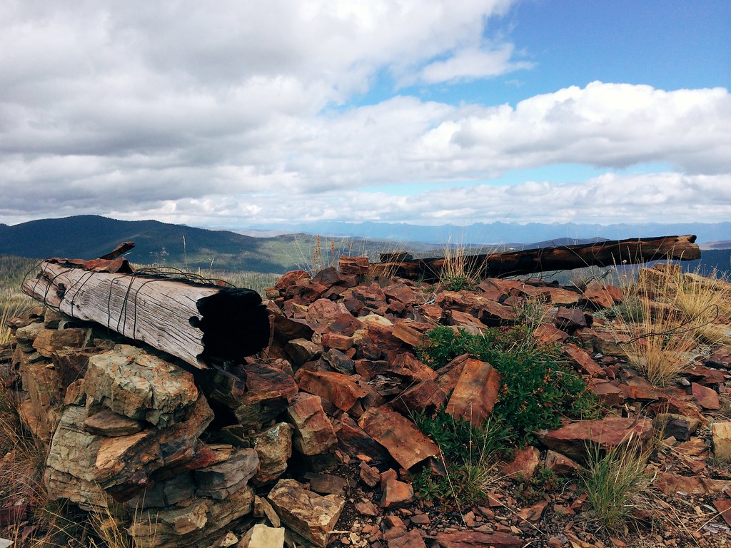
Remnants of the Boulder Point lookout in the Rattlesnake Wilderness
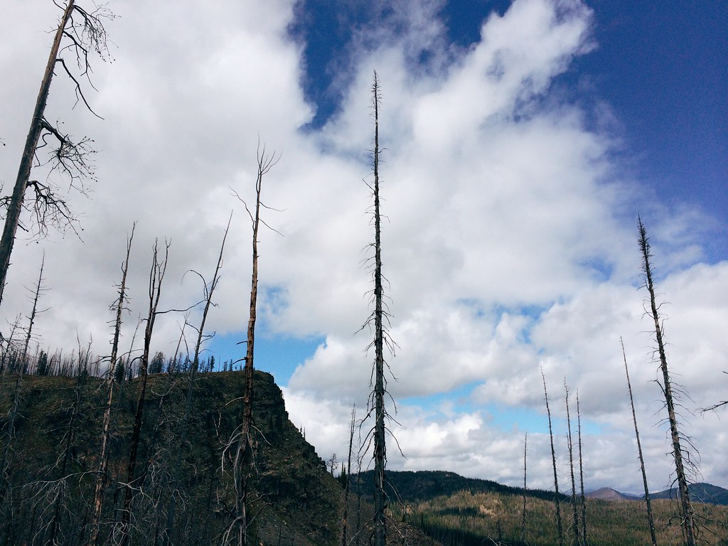
Up to Boulder Point in the Rattlesnake Wilderness
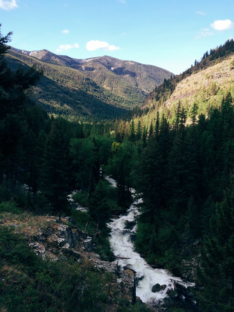
Rattlesnake Creek cuts through bedrock after leaving the wilderness
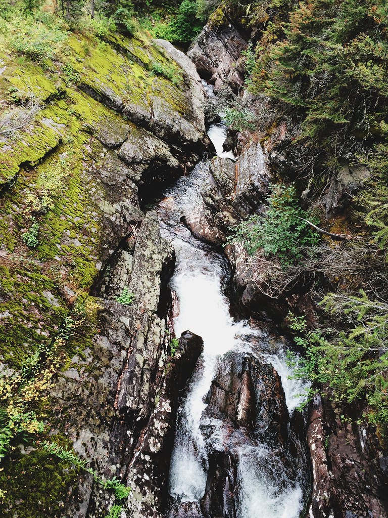
Rattlesnake Creek cuts through bedrock after leaving the wilderness
My Missoula trail marathon today: Out Rattlesnake Creek, back over Sheep Mountain
Mapa de Condado de Missoula, Montana, EE. UU.
Buscar otro lugar
lugares en Condado de Missoula, Montana, EE. UU.
Missoula, Montana, EE. UU.
Seeley Lake, Montana, EE. UU.
Frenchtown, Montana, EE. UU.
Greenough, MT, EE. UU.
Lolo, Montana, EE. UU.
Carlton, Montana, EE. UU.
Alberton, Montana, EE. UU.
Huson, Montana, EE. UU.
Missoula, Mount, Missoula, MT, MT, EE. UU.
Lolo Hot Springs, MT, EE. UU.
Lugares cercanos
Missoula, Mount, Missoula, MT, MT, EE. UU.
Spook Lake, Montana, EE. UU.
Potomac, MT, EE. UU.
Triangle Peak, Montana, EE. UU.
Donovan Creek Rd, Clinton, MT, EE. UU.
Snowmass Dr, Seeley Lake, MT, EE. UU.
Chumrau Loop, Missoula, MT, EE. UU.
Mecate Ln, Bonner, MT, EE. UU.
Sheep Camp Rd, Bonner, MT, EE. UU.
MT-, Missoula, MT, EE. UU.
Seeley Lake, Montana, EE. UU.
Clinton, Montana, EE. UU.
Big Pines Ln, Missoula, MT, EE. UU.
Montana Rail Link Railroad, Montana, EE. UU.
Marshall Lake Road, Marshall Lake Rd, Seeley Lake, MT, EE. UU.
Greenough, MT, EE. UU.
Paws Up Rd, Bonner, MT, EE. UU.
Killdeer Ln, Clinton, MT, EE. UU.
S Canyon Dr, Seeley Lake, MT, EE. UU.
N Canyon Dr, Seeley Lake, MT, EE. UU.
Búsquedas recientes
- Horas de salida y puesta de sol de Red Dog Mine, AK, USA
- Horas de salida y puesta de sol de Am Bahnhof, Am bhf, Borken, Germany
- Horas de salida y puesta de sol de 4th St E, Sonoma, CA, EE. UU.
- Horas de salida y puesta de sol de Oakland Ave, Williamsport, PA, EE. UU.
- Horas de salida y puesta de sol de Via Roma, Pieranica CR, Italia
- Horas de salida y puesta de sol de Torre del reloj, Grad, Dubrovnik (Ragusa), Croacia
- Horas de salida y puesta de sol de Trelew, Chubut, Argentina
- Horas de salida y puesta de sol de Hartfords Bluff Cir, Mt Pleasant, SC, EE. UU.
- Horas de salida y puesta de sol de Kita Ward, Kumamoto, Japón
- Horas de salida y puesta de sol de Pingtan Island, Pingtan County, Fuzhou, China