Horas de salida y puesta de sol de Municipio de Liberty, Arkansas, EE. UU.
Location: Estados Unidos > Arkansas > Condado de Pope >
Zona horaria:
America/Chicago
Hora local:
2025-06-18 07:20:54
Longitud:
-93.0375914
Latitud:
35.5058007
Salida de sol de hoy:
05:56:41 AM
Puesta de sol de hoy:
08:30:14 PM
La duración del día hoy:
14h 33m 33s
Salida de sol de mañana:
05:56:51 AM
Puesta de sol de mañana:
08:30:30 PM
La duración del día mañana:
14h 33m 39s
Mostrar todas las fechas
| Fecha | Salida de sol | Puesta de sol | Duración del día |
|---|---|---|---|
| 01/01/2025 | 07:21:34 AM | 05:11:02 PM | 9h 49m 28s |
| 02/01/2025 | 07:21:41 AM | 05:11:50 PM | 9h 50m 9s |
| 03/01/2025 | 07:21:46 AM | 05:12:39 PM | 9h 50m 53s |
| 04/01/2025 | 07:21:50 AM | 05:13:29 PM | 9h 51m 39s |
| 05/01/2025 | 07:21:51 AM | 05:14:21 PM | 9h 52m 30s |
| 06/01/2025 | 07:21:51 AM | 05:15:13 PM | 9h 53m 22s |
| 07/01/2025 | 07:21:48 AM | 05:16:06 PM | 9h 54m 18s |
| 08/01/2025 | 07:21:44 AM | 05:17:00 PM | 9h 55m 16s |
| 09/01/2025 | 07:21:38 AM | 05:17:55 PM | 9h 56m 17s |
| 10/01/2025 | 07:21:29 AM | 05:18:50 PM | 9h 57m 21s |
| 11/01/2025 | 07:21:19 AM | 05:19:47 PM | 9h 58m 28s |
| 12/01/2025 | 07:21:07 AM | 05:20:44 PM | 9h 59m 37s |
| 13/01/2025 | 07:20:53 AM | 05:21:41 PM | 10h 0m 48s |
| 14/01/2025 | 07:20:37 AM | 05:22:40 PM | 10h 2m 3s |
| 15/01/2025 | 07:20:19 AM | 05:23:39 PM | 10h 3m 20s |
| 16/01/2025 | 07:19:59 AM | 05:24:38 PM | 10h 4m 39s |
| 17/01/2025 | 07:19:38 AM | 05:25:38 PM | 10h 6m 0s |
| 18/01/2025 | 07:19:14 AM | 05:26:38 PM | 10h 7m 24s |
| 19/01/2025 | 07:18:49 AM | 05:27:39 PM | 10h 8m 50s |
| 20/01/2025 | 07:18:22 AM | 05:28:40 PM | 10h 10m 18s |
| 21/01/2025 | 07:17:53 AM | 05:29:41 PM | 10h 11m 48s |
| 22/01/2025 | 07:17:22 AM | 05:30:42 PM | 10h 13m 20s |
| 23/01/2025 | 07:16:49 AM | 05:31:44 PM | 10h 14m 55s |
| 24/01/2025 | 07:16:15 AM | 05:32:46 PM | 10h 16m 31s |
| 25/01/2025 | 07:15:39 AM | 05:33:48 PM | 10h 18m 9s |
| 26/01/2025 | 07:15:01 AM | 05:34:50 PM | 10h 19m 49s |
| 27/01/2025 | 07:14:21 AM | 05:35:52 PM | 10h 21m 31s |
| 28/01/2025 | 07:13:40 AM | 05:36:54 PM | 10h 23m 14s |
| 29/01/2025 | 07:12:57 AM | 05:37:56 PM | 10h 24m 59s |
| 30/01/2025 | 07:12:13 AM | 05:38:58 PM | 10h 26m 45s |
| 31/01/2025 | 07:11:27 AM | 05:40:01 PM | 10h 28m 34s |
| 01/02/2025 | 07:10:40 AM | 05:41:03 PM | 10h 30m 23s |
| 02/02/2025 | 07:09:51 AM | 05:42:05 PM | 10h 32m 14s |
| 03/02/2025 | 07:09:00 AM | 05:43:06 PM | 10h 34m 6s |
| 04/02/2025 | 07:08:08 AM | 05:44:08 PM | 10h 36m 0s |
| 05/02/2025 | 07:07:15 AM | 05:45:09 PM | 10h 37m 54s |
| 06/02/2025 | 07:06:20 AM | 05:46:11 PM | 10h 39m 51s |
| 07/02/2025 | 07:05:24 AM | 05:47:12 PM | 10h 41m 48s |
| 08/02/2025 | 07:04:26 AM | 05:48:13 PM | 10h 43m 47s |
| 09/02/2025 | 07:03:27 AM | 05:49:13 PM | 10h 45m 46s |
| 10/02/2025 | 07:02:27 AM | 05:50:14 PM | 10h 47m 47s |
| 11/02/2025 | 07:01:26 AM | 05:51:14 PM | 10h 49m 48s |
| 12/02/2025 | 07:00:23 AM | 05:52:13 PM | 10h 51m 50s |
| 13/02/2025 | 06:59:19 AM | 05:53:13 PM | 10h 53m 54s |
| 14/02/2025 | 06:58:14 AM | 05:54:12 PM | 10h 55m 58s |
| 15/02/2025 | 06:57:08 AM | 05:55:11 PM | 10h 58m 3s |
| 16/02/2025 | 06:56:01 AM | 05:56:09 PM | 11h 0m 8s |
| 17/02/2025 | 06:54:53 AM | 05:57:08 PM | 11h 2m 15s |
| 18/02/2025 | 06:53:44 AM | 05:58:06 PM | 11h 4m 22s |
| 19/02/2025 | 06:52:33 AM | 05:59:03 PM | 11h 6m 30s |
| 20/02/2025 | 06:51:22 AM | 06:00:00 PM | 11h 8m 38s |
| 21/02/2025 | 06:50:10 AM | 06:00:57 PM | 11h 10m 47s |
| 22/02/2025 | 06:48:57 AM | 06:01:54 PM | 11h 12m 57s |
| 23/02/2025 | 06:47:43 AM | 06:02:50 PM | 11h 15m 7s |
| 24/02/2025 | 06:46:28 AM | 06:03:46 PM | 11h 17m 18s |
| 25/02/2025 | 06:45:13 AM | 06:04:42 PM | 11h 19m 29s |
| 26/02/2025 | 06:43:56 AM | 06:05:37 PM | 11h 21m 41s |
| 27/02/2025 | 06:42:39 AM | 06:06:32 PM | 11h 23m 53s |
| 28/02/2025 | 06:41:22 AM | 06:07:26 PM | 11h 26m 4s |
| 01/03/2025 | 06:40:03 AM | 06:08:21 PM | 11h 28m 18s |
| 02/03/2025 | 06:38:44 AM | 06:09:15 PM | 11h 30m 31s |
| 03/03/2025 | 06:37:24 AM | 06:10:08 PM | 11h 32m 44s |
| 04/03/2025 | 06:36:04 AM | 06:11:02 PM | 11h 34m 58s |
| 05/03/2025 | 06:34:43 AM | 06:11:55 PM | 11h 37m 12s |
| 06/03/2025 | 06:33:22 AM | 06:12:48 PM | 11h 39m 26s |
| 07/03/2025 | 06:32:00 AM | 06:13:40 PM | 11h 41m 40s |
| 08/03/2025 | 06:30:38 AM | 06:14:32 PM | 11h 43m 54s |
| 09/03/2025 | 07:29:19 AM | 07:15:22 PM | 11h 46m 3s |
| 10/03/2025 | 07:27:55 AM | 07:16:14 PM | 11h 48m 19s |
| 11/03/2025 | 07:26:32 AM | 07:17:05 PM | 11h 50m 33s |
| 12/03/2025 | 07:25:08 AM | 07:17:57 PM | 11h 52m 49s |
| 13/03/2025 | 07:23:44 AM | 07:18:48 PM | 11h 55m 4s |
| 14/03/2025 | 07:22:20 AM | 07:19:39 PM | 11h 57m 19s |
| 15/03/2025 | 07:20:55 AM | 07:20:29 PM | 11h 59m 34s |
| 16/03/2025 | 07:19:30 AM | 07:21:20 PM | 12h 1m 50s |
| 17/03/2025 | 07:18:05 AM | 07:22:10 PM | 12h 4m 5s |
| 18/03/2025 | 07:16:40 AM | 07:23:00 PM | 12h 6m 20s |
| 19/03/2025 | 07:15:14 AM | 07:23:50 PM | 12h 8m 36s |
| 20/03/2025 | 07:13:49 AM | 07:24:40 PM | 12h 10m 51s |
| 21/03/2025 | 07:12:23 AM | 07:25:30 PM | 12h 13m 7s |
| 22/03/2025 | 07:10:58 AM | 07:26:19 PM | 12h 15m 21s |
| 23/03/2025 | 07:09:32 AM | 07:27:09 PM | 12h 17m 37s |
| 24/03/2025 | 07:08:07 AM | 07:27:58 PM | 12h 19m 51s |
| 25/03/2025 | 07:06:41 AM | 07:28:47 PM | 12h 22m 6s |
| 26/03/2025 | 07:05:16 AM | 07:29:37 PM | 12h 24m 21s |
| 27/03/2025 | 07:03:50 AM | 07:30:26 PM | 12h 26m 36s |
| 28/03/2025 | 07:02:25 AM | 07:31:15 PM | 12h 28m 50s |
| 29/03/2025 | 07:01:00 AM | 07:32:04 PM | 12h 31m 4s |
| 30/03/2025 | 06:59:35 AM | 07:32:53 PM | 12h 33m 18s |
| 31/03/2025 | 06:58:11 AM | 07:33:42 PM | 12h 35m 31s |
| 01/04/2025 | 06:56:46 AM | 07:34:31 PM | 12h 37m 45s |
| 02/04/2025 | 06:55:22 AM | 07:35:20 PM | 12h 39m 58s |
| 03/04/2025 | 06:53:58 AM | 07:36:09 PM | 12h 42m 11s |
| 04/04/2025 | 06:52:35 AM | 07:36:58 PM | 12h 44m 23s |
| 05/04/2025 | 06:51:12 AM | 07:37:47 PM | 12h 46m 35s |
| 06/04/2025 | 06:49:49 AM | 07:38:36 PM | 12h 48m 47s |
| 07/04/2025 | 06:48:27 AM | 07:39:25 PM | 12h 50m 58s |
| 08/04/2025 | 06:47:05 AM | 07:40:14 PM | 12h 53m 9s |
| 09/04/2025 | 06:45:44 AM | 07:41:03 PM | 12h 55m 19s |
| 10/04/2025 | 06:44:23 AM | 07:41:52 PM | 12h 57m 29s |
| 11/04/2025 | 06:43:03 AM | 07:42:41 PM | 12h 59m 38s |
| 12/04/2025 | 06:41:43 AM | 07:43:31 PM | 13h 1m 48s |
| 13/04/2025 | 06:40:24 AM | 07:44:20 PM | 13h 3m 56s |
| 14/04/2025 | 06:39:06 AM | 07:45:09 PM | 13h 6m 3s |
| 15/04/2025 | 06:37:48 AM | 07:45:59 PM | 13h 8m 11s |
| 16/04/2025 | 06:36:31 AM | 07:46:48 PM | 13h 10m 17s |
| 17/04/2025 | 06:35:15 AM | 07:47:38 PM | 13h 12m 23s |
| 18/04/2025 | 06:33:59 AM | 07:48:28 PM | 13h 14m 29s |
| 19/04/2025 | 06:32:44 AM | 07:49:17 PM | 13h 16m 33s |
| 20/04/2025 | 06:31:30 AM | 07:50:07 PM | 13h 18m 37s |
| 21/04/2025 | 06:30:17 AM | 07:50:57 PM | 13h 20m 40s |
| 22/04/2025 | 06:29:05 AM | 07:51:47 PM | 13h 22m 42s |
| 23/04/2025 | 06:27:53 AM | 07:52:37 PM | 13h 24m 44s |
| 24/04/2025 | 06:26:43 AM | 07:53:26 PM | 13h 26m 43s |
| 25/04/2025 | 06:25:33 AM | 07:54:16 PM | 13h 28m 43s |
| 26/04/2025 | 06:24:24 AM | 07:55:06 PM | 13h 30m 42s |
| 27/04/2025 | 06:23:17 AM | 07:55:56 PM | 13h 32m 39s |
| 28/04/2025 | 06:22:10 AM | 07:56:46 PM | 13h 34m 36s |
| 29/04/2025 | 06:21:05 AM | 07:57:36 PM | 13h 36m 31s |
| 30/04/2025 | 06:20:00 AM | 07:58:26 PM | 13h 38m 26s |
| 01/05/2025 | 06:18:57 AM | 07:59:16 PM | 13h 40m 19s |
| 02/05/2025 | 06:17:55 AM | 08:00:06 PM | 13h 42m 11s |
| 03/05/2025 | 06:16:54 AM | 08:00:56 PM | 13h 44m 2s |
| 04/05/2025 | 06:15:54 AM | 08:01:46 PM | 13h 45m 52s |
| 05/05/2025 | 06:14:55 AM | 08:02:35 PM | 13h 47m 40s |
| 06/05/2025 | 06:13:58 AM | 08:03:25 PM | 13h 49m 27s |
| 07/05/2025 | 06:13:02 AM | 08:04:14 PM | 13h 51m 12s |
| 08/05/2025 | 06:12:07 AM | 08:05:03 PM | 13h 52m 56s |
| 09/05/2025 | 06:11:14 AM | 08:05:52 PM | 13h 54m 38s |
| 10/05/2025 | 06:10:22 AM | 08:06:41 PM | 13h 56m 19s |
| 11/05/2025 | 06:09:31 AM | 08:07:30 PM | 13h 57m 59s |
| 12/05/2025 | 06:08:42 AM | 08:08:18 PM | 13h 59m 36s |
| 13/05/2025 | 06:07:54 AM | 08:09:06 PM | 14h 1m 12s |
| 14/05/2025 | 06:07:07 AM | 08:09:54 PM | 14h 2m 47s |
| 15/05/2025 | 06:06:22 AM | 08:10:42 PM | 14h 4m 20s |
| 16/05/2025 | 06:05:39 AM | 08:11:29 PM | 14h 5m 50s |
| 17/05/2025 | 06:04:57 AM | 08:12:15 PM | 14h 7m 18s |
| 18/05/2025 | 06:04:16 AM | 08:13:02 PM | 14h 8m 46s |
| 19/05/2025 | 06:03:37 AM | 08:13:48 PM | 14h 10m 11s |
| 20/05/2025 | 06:03:00 AM | 08:14:33 PM | 14h 11m 33s |
| 21/05/2025 | 06:02:24 AM | 08:15:18 PM | 14h 12m 54s |
| 22/05/2025 | 06:01:49 AM | 08:16:02 PM | 14h 14m 13s |
| 23/05/2025 | 06:01:17 AM | 08:16:46 PM | 14h 15m 29s |
| 24/05/2025 | 06:00:46 AM | 08:17:29 PM | 14h 16m 43s |
| 25/05/2025 | 06:00:16 AM | 08:18:11 PM | 14h 17m 55s |
| 26/05/2025 | 05:59:48 AM | 08:18:53 PM | 14h 19m 5s |
| 27/05/2025 | 05:59:22 AM | 08:19:34 PM | 14h 20m 12s |
| 28/05/2025 | 05:58:58 AM | 08:20:15 PM | 14h 21m 17s |
| 29/05/2025 | 05:58:35 AM | 08:20:54 PM | 14h 22m 19s |
| 30/05/2025 | 05:58:14 AM | 08:21:33 PM | 14h 23m 19s |
| 31/05/2025 | 05:57:54 AM | 08:22:11 PM | 14h 24m 17s |
| 01/06/2025 | 05:57:36 AM | 08:22:48 PM | 14h 25m 12s |
| 02/06/2025 | 05:57:20 AM | 08:23:24 PM | 14h 26m 4s |
| 03/06/2025 | 05:57:06 AM | 08:23:59 PM | 14h 26m 53s |
| 04/06/2025 | 05:56:53 AM | 08:24:33 PM | 14h 27m 40s |
| 05/06/2025 | 05:56:42 AM | 08:25:06 PM | 14h 28m 24s |
| 06/06/2025 | 05:56:32 AM | 08:25:37 PM | 14h 29m 5s |
| 07/06/2025 | 05:56:24 AM | 08:26:08 PM | 14h 29m 44s |
| 08/06/2025 | 05:56:18 AM | 08:26:38 PM | 14h 30m 20s |
| 09/06/2025 | 05:56:14 AM | 08:27:06 PM | 14h 30m 52s |
| 10/06/2025 | 05:56:11 AM | 08:27:33 PM | 14h 31m 22s |
| 11/06/2025 | 05:56:10 AM | 08:27:59 PM | 14h 31m 49s |
| 12/06/2025 | 05:56:10 AM | 08:28:24 PM | 14h 32m 14s |
| 13/06/2025 | 05:56:12 AM | 08:28:47 PM | 14h 32m 35s |
| 14/06/2025 | 05:56:16 AM | 08:29:09 PM | 14h 32m 53s |
| 15/06/2025 | 05:56:21 AM | 08:29:30 PM | 14h 33m 9s |
| 16/06/2025 | 05:56:28 AM | 08:29:49 PM | 14h 33m 21s |
| 17/06/2025 | 05:56:36 AM | 08:30:07 PM | 14h 33m 31s |
| 18/06/2025 | 05:56:46 AM | 08:30:23 PM | 14h 33m 37s |
| 19/06/2025 | 05:56:58 AM | 08:30:38 PM | 14h 33m 40s |
| 20/06/2025 | 05:57:11 AM | 08:30:51 PM | 14h 33m 40s |
| 21/06/2025 | 05:57:25 AM | 08:31:03 PM | 14h 33m 38s |
| 22/06/2025 | 05:57:41 AM | 08:31:13 PM | 14h 33m 32s |
| 23/06/2025 | 05:57:58 AM | 08:31:22 PM | 14h 33m 24s |
| 24/06/2025 | 05:58:16 AM | 08:31:29 PM | 14h 33m 13s |
| 25/06/2025 | 05:58:36 AM | 08:31:34 PM | 14h 32m 58s |
| 26/06/2025 | 05:58:57 AM | 08:31:38 PM | 14h 32m 41s |
| 27/06/2025 | 05:59:20 AM | 08:31:40 PM | 14h 32m 20s |
| 28/06/2025 | 05:59:44 AM | 08:31:40 PM | 14h 31m 56s |
| 29/06/2025 | 06:00:09 AM | 08:31:39 PM | 14h 31m 30s |
| 30/06/2025 | 06:00:35 AM | 08:31:36 PM | 14h 31m 1s |
| 01/07/2025 | 06:01:02 AM | 08:31:31 PM | 14h 30m 29s |
| 02/07/2025 | 06:01:31 AM | 08:31:25 PM | 14h 29m 54s |
| 03/07/2025 | 06:02:00 AM | 08:31:17 PM | 14h 29m 17s |
| 04/07/2025 | 06:02:31 AM | 08:31:07 PM | 14h 28m 36s |
| 05/07/2025 | 06:03:02 AM | 08:30:56 PM | 14h 27m 54s |
| 06/07/2025 | 06:03:35 AM | 08:30:42 PM | 14h 27m 7s |
| 07/07/2025 | 06:04:09 AM | 08:30:27 PM | 14h 26m 18s |
| 08/07/2025 | 06:04:43 AM | 08:30:11 PM | 14h 25m 28s |
| 09/07/2025 | 06:05:18 AM | 08:29:52 PM | 14h 24m 34s |
| 10/07/2025 | 06:05:55 AM | 08:29:32 PM | 14h 23m 37s |
| 11/07/2025 | 06:06:31 AM | 08:29:10 PM | 14h 22m 39s |
| 12/07/2025 | 06:07:09 AM | 08:28:47 PM | 14h 21m 38s |
| 13/07/2025 | 06:07:48 AM | 08:28:22 PM | 14h 20m 34s |
| 14/07/2025 | 06:08:27 AM | 08:27:55 PM | 14h 19m 28s |
| 15/07/2025 | 06:09:07 AM | 08:27:26 PM | 14h 18m 19s |
| 16/07/2025 | 06:09:47 AM | 08:26:56 PM | 14h 17m 9s |
| 17/07/2025 | 06:10:28 AM | 08:26:24 PM | 14h 15m 56s |
| 18/07/2025 | 06:11:10 AM | 08:25:51 PM | 14h 14m 41s |
| 19/07/2025 | 06:11:52 AM | 08:25:15 PM | 14h 13m 23s |
| 20/07/2025 | 06:12:34 AM | 08:24:39 PM | 14h 12m 5s |
| 21/07/2025 | 06:13:17 AM | 08:24:00 PM | 14h 10m 43s |
| 22/07/2025 | 06:14:01 AM | 08:23:20 PM | 14h 9m 19s |
| 23/07/2025 | 06:14:45 AM | 08:22:39 PM | 14h 7m 54s |
| 24/07/2025 | 06:15:29 AM | 08:21:56 PM | 14h 6m 27s |
| 25/07/2025 | 06:16:13 AM | 08:21:11 PM | 14h 4m 58s |
| 26/07/2025 | 06:16:58 AM | 08:20:25 PM | 14h 3m 27s |
| 27/07/2025 | 06:17:43 AM | 08:19:37 PM | 14h 1m 54s |
| 28/07/2025 | 06:18:29 AM | 08:18:48 PM | 14h 0m 19s |
| 29/07/2025 | 06:19:14 AM | 08:17:58 PM | 13h 58m 44s |
| 30/07/2025 | 06:20:00 AM | 08:17:06 PM | 13h 57m 6s |
| 31/07/2025 | 06:20:46 AM | 08:16:13 PM | 13h 55m 27s |
| 01/08/2025 | 06:21:32 AM | 08:15:18 PM | 13h 53m 46s |
| 02/08/2025 | 06:22:18 AM | 08:14:22 PM | 13h 52m 4s |
| 03/08/2025 | 06:23:05 AM | 08:13:25 PM | 13h 50m 20s |
| 04/08/2025 | 06:23:51 AM | 08:12:26 PM | 13h 48m 35s |
| 05/08/2025 | 06:24:37 AM | 08:11:27 PM | 13h 46m 50s |
| 06/08/2025 | 06:25:24 AM | 08:10:25 PM | 13h 45m 1s |
| 07/08/2025 | 06:26:11 AM | 08:09:23 PM | 13h 43m 12s |
| 08/08/2025 | 06:26:57 AM | 08:08:20 PM | 13h 41m 23s |
| 09/08/2025 | 06:27:44 AM | 08:07:15 PM | 13h 39m 31s |
| 10/08/2025 | 06:28:30 AM | 08:06:09 PM | 13h 37m 39s |
| 11/08/2025 | 06:29:17 AM | 08:05:02 PM | 13h 35m 45s |
| 12/08/2025 | 06:30:04 AM | 08:03:54 PM | 13h 33m 50s |
| 13/08/2025 | 06:30:50 AM | 08:02:45 PM | 13h 31m 55s |
| 14/08/2025 | 06:31:37 AM | 08:01:35 PM | 13h 29m 58s |
| 15/08/2025 | 06:32:23 AM | 08:00:24 PM | 13h 28m 1s |
| 16/08/2025 | 06:33:09 AM | 07:59:12 PM | 13h 26m 3s |
| 17/08/2025 | 06:33:56 AM | 07:57:59 PM | 13h 24m 3s |
| 18/08/2025 | 06:34:42 AM | 07:56:45 PM | 13h 22m 3s |
| 19/08/2025 | 06:35:28 AM | 07:55:31 PM | 13h 20m 3s |
| 20/08/2025 | 06:36:14 AM | 07:54:15 PM | 13h 18m 1s |
| 21/08/2025 | 06:37:00 AM | 07:52:59 PM | 13h 15m 59s |
| 22/08/2025 | 06:37:46 AM | 07:51:41 PM | 13h 13m 55s |
| 23/08/2025 | 06:38:31 AM | 07:50:23 PM | 13h 11m 52s |
| 24/08/2025 | 06:39:17 AM | 07:49:05 PM | 13h 9m 48s |
| 25/08/2025 | 06:40:03 AM | 07:47:45 PM | 13h 7m 42s |
| 26/08/2025 | 06:40:48 AM | 07:46:25 PM | 13h 5m 37s |
| 27/08/2025 | 06:41:33 AM | 07:45:04 PM | 13h 3m 31s |
| 28/08/2025 | 06:42:19 AM | 07:43:43 PM | 13h 1m 24s |
| 29/08/2025 | 06:43:04 AM | 07:42:21 PM | 12h 59m 17s |
| 30/08/2025 | 06:43:49 AM | 07:40:58 PM | 12h 57m 9s |
| 31/08/2025 | 06:44:34 AM | 07:39:35 PM | 12h 55m 1s |
| 01/09/2025 | 06:45:19 AM | 07:38:12 PM | 12h 52m 53s |
| 02/09/2025 | 06:46:04 AM | 07:36:48 PM | 12h 50m 44s |
| 03/09/2025 | 06:46:49 AM | 07:35:23 PM | 12h 48m 34s |
| 04/09/2025 | 06:47:34 AM | 07:33:58 PM | 12h 46m 24s |
| 05/09/2025 | 06:48:19 AM | 07:32:33 PM | 12h 44m 14s |
| 06/09/2025 | 06:49:03 AM | 07:31:07 PM | 12h 42m 4s |
| 07/09/2025 | 06:49:48 AM | 07:29:41 PM | 12h 39m 53s |
| 08/09/2025 | 06:50:33 AM | 07:28:15 PM | 12h 37m 42s |
| 09/09/2025 | 06:51:17 AM | 07:26:48 PM | 12h 35m 31s |
| 10/09/2025 | 06:52:02 AM | 07:25:21 PM | 12h 33m 19s |
| 11/09/2025 | 06:52:47 AM | 07:23:54 PM | 12h 31m 7s |
| 12/09/2025 | 06:53:31 AM | 07:22:27 PM | 12h 28m 56s |
| 13/09/2025 | 06:54:16 AM | 07:20:59 PM | 12h 26m 43s |
| 14/09/2025 | 06:55:01 AM | 07:19:32 PM | 12h 24m 31s |
| 15/09/2025 | 06:55:46 AM | 07:18:04 PM | 12h 22m 18s |
| 16/09/2025 | 06:56:31 AM | 07:16:36 PM | 12h 20m 5s |
| 17/09/2025 | 06:57:16 AM | 07:15:08 PM | 12h 17m 52s |
| 18/09/2025 | 06:58:01 AM | 07:13:40 PM | 12h 15m 39s |
| 19/09/2025 | 06:58:46 AM | 07:12:12 PM | 12h 13m 26s |
| 20/09/2025 | 06:59:31 AM | 07:10:44 PM | 12h 11m 13s |
| 21/09/2025 | 07:00:17 AM | 07:09:17 PM | 12h 9m 0s |
| 22/09/2025 | 07:01:02 AM | 07:07:49 PM | 12h 6m 47s |
| 23/09/2025 | 07:01:48 AM | 07:06:21 PM | 12h 4m 33s |
| 24/09/2025 | 07:02:34 AM | 07:04:54 PM | 12h 2m 20s |
| 25/09/2025 | 07:03:20 AM | 07:03:27 PM | 12h 0m 7s |
| 26/09/2025 | 07:04:06 AM | 07:02:00 PM | 11h 57m 54s |
| 27/09/2025 | 07:04:52 AM | 07:00:33 PM | 11h 55m 41s |
| 28/09/2025 | 07:05:39 AM | 06:59:06 PM | 11h 53m 27s |
| 29/09/2025 | 07:06:26 AM | 06:57:40 PM | 11h 51m 14s |
| 30/09/2025 | 07:07:13 AM | 06:56:14 PM | 11h 49m 1s |
| 01/10/2025 | 07:08:00 AM | 06:54:49 PM | 11h 46m 49s |
| 02/10/2025 | 07:08:48 AM | 06:53:23 PM | 11h 44m 35s |
| 03/10/2025 | 07:09:36 AM | 06:51:59 PM | 11h 42m 23s |
| 04/10/2025 | 07:10:24 AM | 06:50:34 PM | 11h 40m 10s |
| 05/10/2025 | 07:11:12 AM | 06:49:11 PM | 11h 37m 59s |
| 06/10/2025 | 07:12:01 AM | 06:47:47 PM | 11h 35m 46s |
| 07/10/2025 | 07:12:50 AM | 06:46:24 PM | 11h 33m 34s |
| 08/10/2025 | 07:13:39 AM | 06:45:02 PM | 11h 31m 23s |
| 09/10/2025 | 07:14:29 AM | 06:43:41 PM | 11h 29m 12s |
| 10/10/2025 | 07:15:19 AM | 06:42:20 PM | 11h 27m 1s |
| 11/10/2025 | 07:16:09 AM | 06:40:59 PM | 11h 24m 50s |
| 12/10/2025 | 07:16:59 AM | 06:39:40 PM | 11h 22m 41s |
| 13/10/2025 | 07:17:50 AM | 06:38:21 PM | 11h 20m 31s |
| 14/10/2025 | 07:18:42 AM | 06:37:02 PM | 11h 18m 20s |
| 15/10/2025 | 07:19:33 AM | 06:35:45 PM | 11h 16m 12s |
| 16/10/2025 | 07:20:25 AM | 06:34:28 PM | 11h 14m 3s |
| 17/10/2025 | 07:21:18 AM | 06:33:13 PM | 11h 11m 55s |
| 18/10/2025 | 07:22:10 AM | 06:31:58 PM | 11h 9m 48s |
| 19/10/2025 | 07:23:03 AM | 06:30:44 PM | 11h 7m 41s |
| 20/10/2025 | 07:23:57 AM | 06:29:31 PM | 11h 5m 34s |
| 21/10/2025 | 07:24:51 AM | 06:28:19 PM | 11h 3m 28s |
| 22/10/2025 | 07:25:45 AM | 06:27:08 PM | 11h 1m 23s |
| 23/10/2025 | 07:26:39 AM | 06:25:58 PM | 10h 59m 19s |
| 24/10/2025 | 07:27:34 AM | 06:24:49 PM | 10h 57m 15s |
| 25/10/2025 | 07:28:29 AM | 06:23:41 PM | 10h 55m 12s |
| 26/10/2025 | 07:29:25 AM | 06:22:34 PM | 10h 53m 9s |
| 27/10/2025 | 07:30:21 AM | 06:21:29 PM | 10h 51m 8s |
| 28/10/2025 | 07:31:17 AM | 06:20:24 PM | 10h 49m 7s |
| 29/10/2025 | 07:32:13 AM | 06:19:21 PM | 10h 47m 8s |
| 30/10/2025 | 07:33:10 AM | 06:18:19 PM | 10h 45m 9s |
| 31/10/2025 | 07:34:07 AM | 06:17:19 PM | 10h 43m 12s |
| 01/11/2025 | 07:35:05 AM | 06:16:19 PM | 10h 41m 14s |
| 02/11/2025 | 06:36:05 AM | 05:15:19 PM | 10h 39m 14s |
| 03/11/2025 | 06:37:03 AM | 05:14:23 PM | 10h 37m 20s |
| 04/11/2025 | 06:38:01 AM | 05:13:28 PM | 10h 35m 27s |
| 05/11/2025 | 06:39:00 AM | 05:12:34 PM | 10h 33m 34s |
| 06/11/2025 | 06:39:58 AM | 05:11:42 PM | 10h 31m 44s |
| 07/11/2025 | 06:40:57 AM | 05:10:51 PM | 10h 29m 54s |
| 08/11/2025 | 06:41:56 AM | 05:10:02 PM | 10h 28m 6s |
| 09/11/2025 | 06:42:55 AM | 05:09:15 PM | 10h 26m 20s |
| 10/11/2025 | 06:43:54 AM | 05:08:29 PM | 10h 24m 35s |
| 11/11/2025 | 06:44:53 AM | 05:07:44 PM | 10h 22m 51s |
| 12/11/2025 | 06:45:53 AM | 05:07:02 PM | 10h 21m 9s |
| 13/11/2025 | 06:46:52 AM | 05:06:21 PM | 10h 19m 29s |
| 14/11/2025 | 06:47:51 AM | 05:05:41 PM | 10h 17m 50s |
| 15/11/2025 | 06:48:51 AM | 05:05:04 PM | 10h 16m 13s |
| 16/11/2025 | 06:49:50 AM | 05:04:28 PM | 10h 14m 38s |
| 17/11/2025 | 06:50:49 AM | 05:03:54 PM | 10h 13m 5s |
| 18/11/2025 | 06:51:48 AM | 05:03:22 PM | 10h 11m 34s |
| 19/11/2025 | 06:52:47 AM | 05:02:51 PM | 10h 10m 4s |
| 20/11/2025 | 06:53:45 AM | 05:02:23 PM | 10h 8m 38s |
| 21/11/2025 | 06:54:43 AM | 05:01:56 PM | 10h 7m 13s |
| 22/11/2025 | 06:55:41 AM | 05:01:31 PM | 10h 5m 50s |
| 23/11/2025 | 06:56:39 AM | 05:01:08 PM | 10h 4m 29s |
| 24/11/2025 | 06:57:36 AM | 05:00:47 PM | 10h 3m 11s |
| 25/11/2025 | 06:58:33 AM | 05:00:28 PM | 10h 1m 55s |
| 26/11/2025 | 06:59:29 AM | 05:00:11 PM | 10h 0m 42s |
| 27/11/2025 | 07:00:25 AM | 04:59:56 PM | 9h 59m 31s |
| 28/11/2025 | 07:01:21 AM | 04:59:42 PM | 9h 58m 21s |
| 29/11/2025 | 07:02:15 AM | 04:59:31 PM | 9h 57m 16s |
| 30/11/2025 | 07:03:09 AM | 04:59:22 PM | 9h 56m 13s |
| 01/12/2025 | 07:04:02 AM | 04:59:14 PM | 9h 55m 12s |
| 02/12/2025 | 07:04:55 AM | 04:59:09 PM | 9h 54m 14s |
| 03/12/2025 | 07:05:47 AM | 04:59:06 PM | 9h 53m 19s |
| 04/12/2025 | 07:06:38 AM | 04:59:04 PM | 9h 52m 26s |
| 05/12/2025 | 07:07:27 AM | 04:59:05 PM | 9h 51m 38s |
| 06/12/2025 | 07:08:16 AM | 04:59:07 PM | 9h 50m 51s |
| 07/12/2025 | 07:09:04 AM | 04:59:12 PM | 9h 50m 8s |
| 08/12/2025 | 07:09:51 AM | 04:59:18 PM | 9h 49m 27s |
| 09/12/2025 | 07:10:37 AM | 04:59:27 PM | 9h 48m 50s |
| 10/12/2025 | 07:11:22 AM | 04:59:37 PM | 9h 48m 15s |
| 11/12/2025 | 07:12:05 AM | 04:59:49 PM | 9h 47m 44s |
| 12/12/2025 | 07:12:48 AM | 05:00:04 PM | 9h 47m 16s |
| 13/12/2025 | 07:13:29 AM | 05:00:20 PM | 9h 46m 51s |
| 14/12/2025 | 07:14:08 AM | 05:00:38 PM | 9h 46m 30s |
| 15/12/2025 | 07:14:47 AM | 05:00:58 PM | 9h 46m 11s |
| 16/12/2025 | 07:15:23 AM | 05:01:19 PM | 9h 45m 56s |
| 17/12/2025 | 07:15:59 AM | 05:01:43 PM | 9h 45m 44s |
| 18/12/2025 | 07:16:33 AM | 05:02:08 PM | 9h 45m 35s |
| 19/12/2025 | 07:17:05 AM | 05:02:35 PM | 9h 45m 30s |
| 20/12/2025 | 07:17:36 AM | 05:03:04 PM | 9h 45m 28s |
| 21/12/2025 | 07:18:05 AM | 05:03:35 PM | 9h 45m 30s |
| 22/12/2025 | 07:18:33 AM | 05:04:07 PM | 9h 45m 34s |
| 23/12/2025 | 07:18:59 AM | 05:04:41 PM | 9h 45m 42s |
| 24/12/2025 | 07:19:23 AM | 05:05:16 PM | 9h 45m 53s |
| 25/12/2025 | 07:19:45 AM | 05:05:53 PM | 9h 46m 8s |
| 26/12/2025 | 07:20:06 AM | 05:06:31 PM | 9h 46m 25s |
| 27/12/2025 | 07:20:25 AM | 05:07:11 PM | 9h 46m 46s |
| 28/12/2025 | 07:20:42 AM | 05:07:52 PM | 9h 47m 10s |
| 29/12/2025 | 07:20:57 AM | 05:08:35 PM | 9h 47m 38s |
| 30/12/2025 | 07:21:10 AM | 05:09:19 PM | 9h 48m 9s |
| 31/12/2025 | 07:21:22 AM | 05:10:04 PM | 9h 48m 42s |
Fotos

ray of light
Waterfall-board Alderman
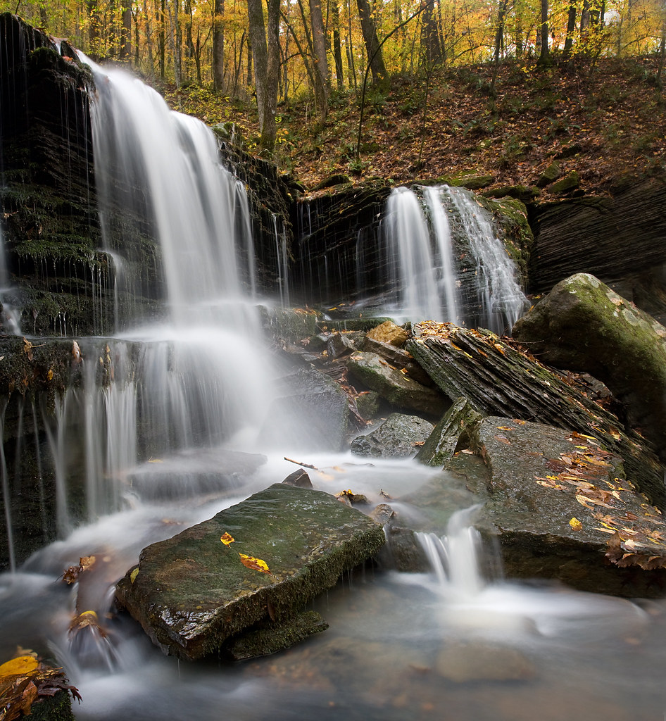
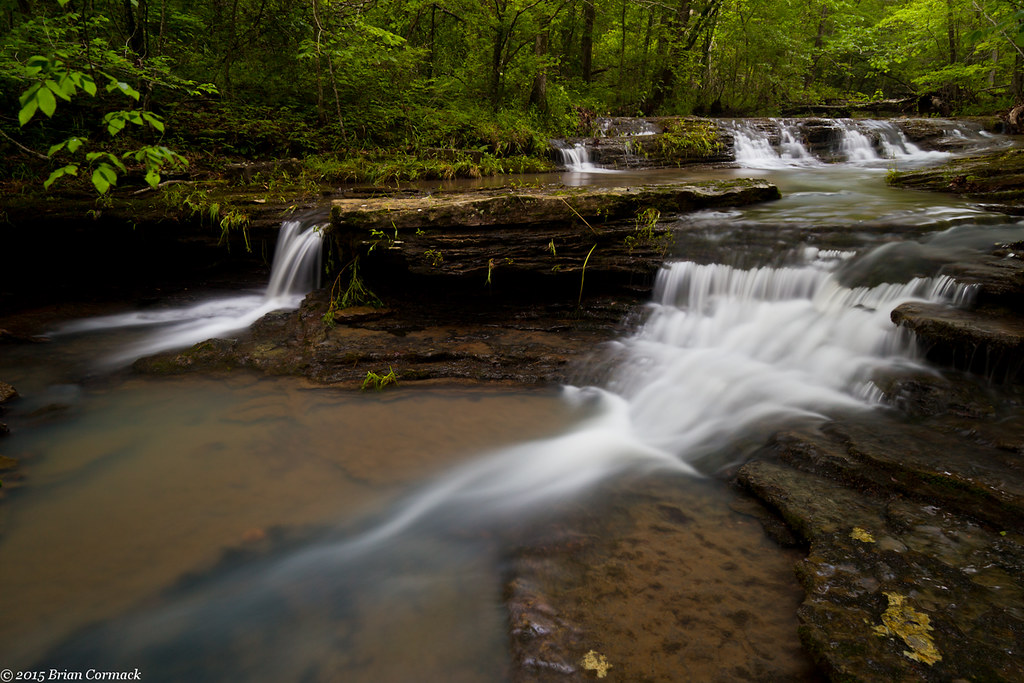
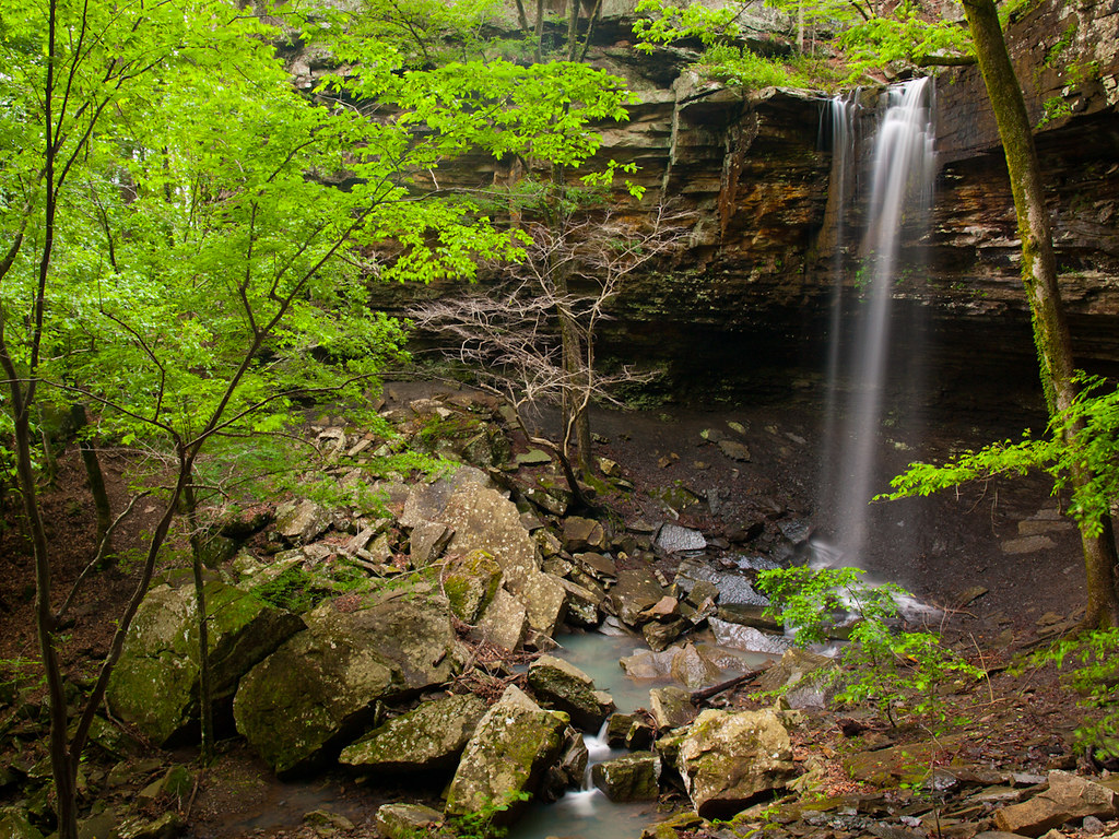
An Ozark waterfall
Lower Longpool Falls
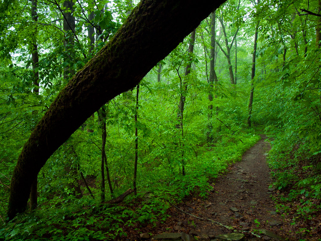
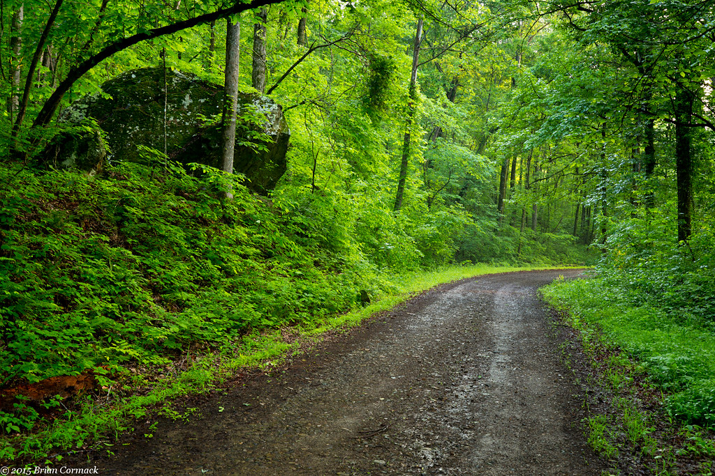
Walk This Way
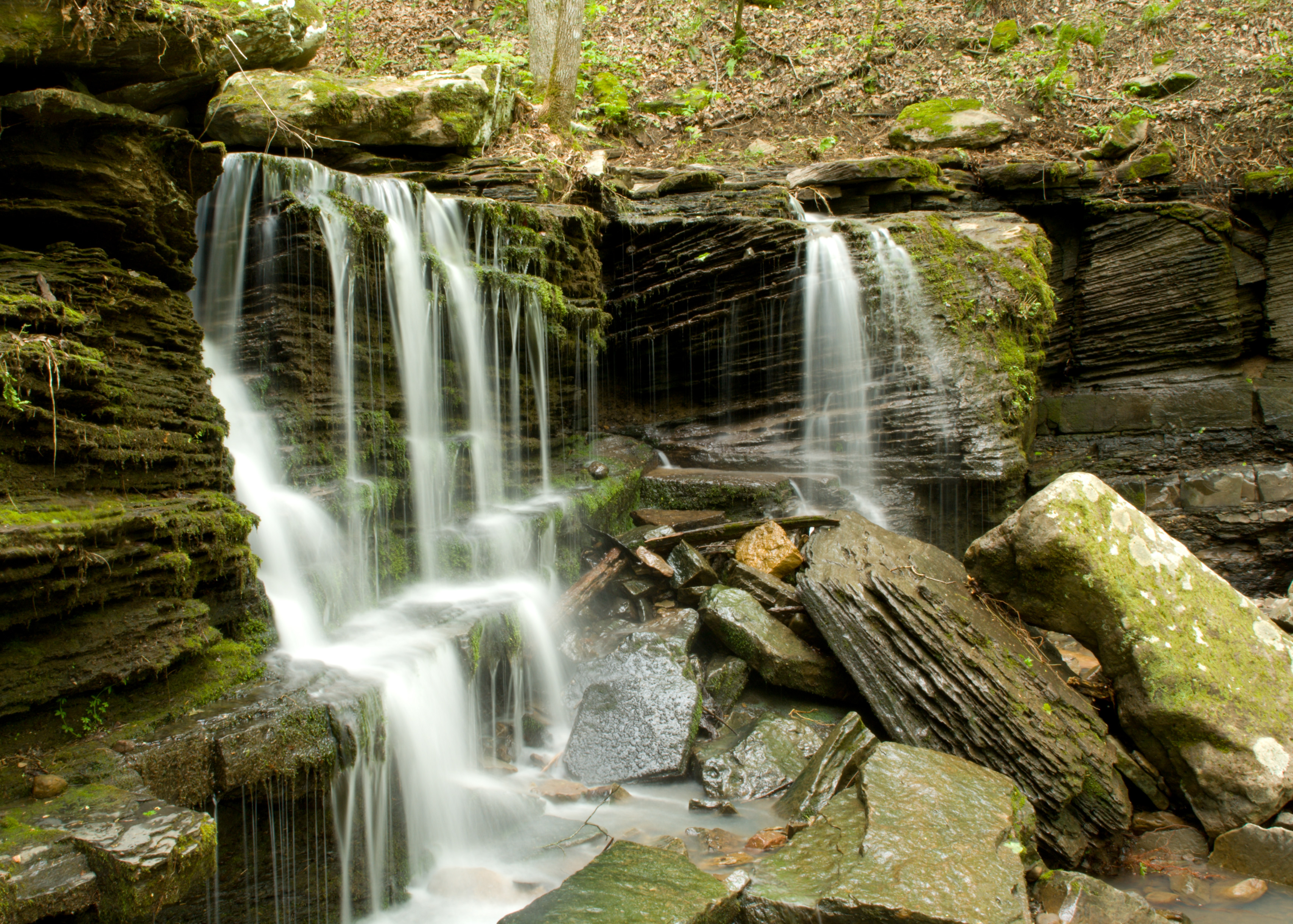
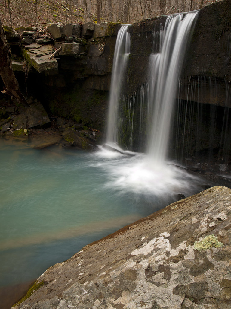
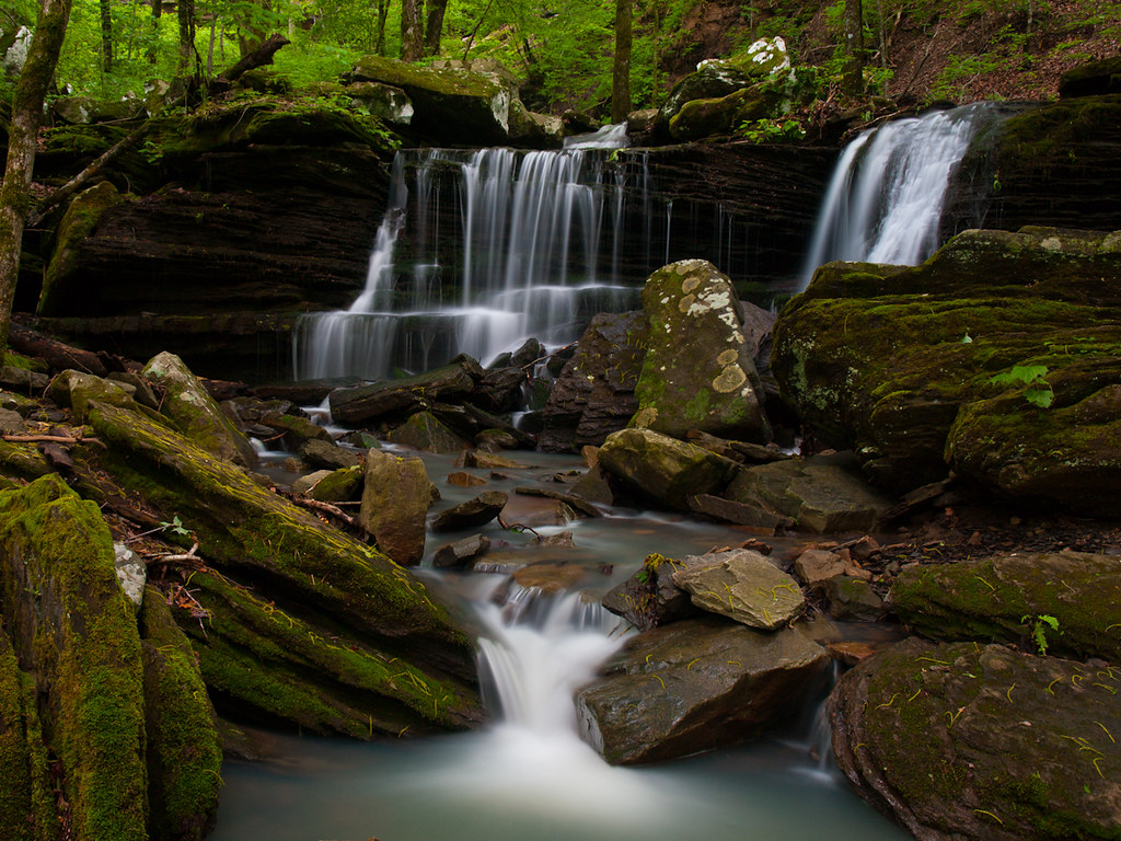
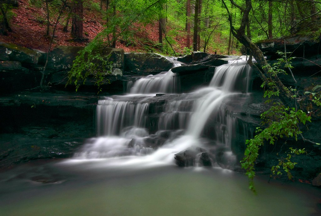
Longpool Falls (Lower)
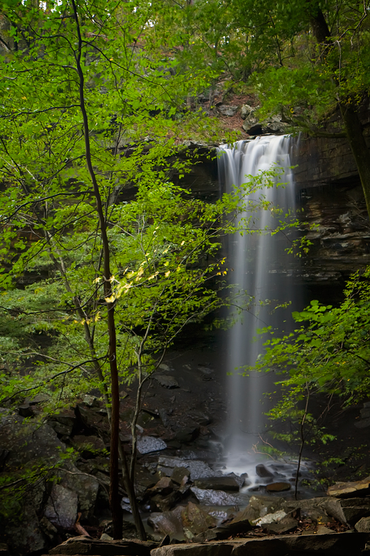
Longpool Falls
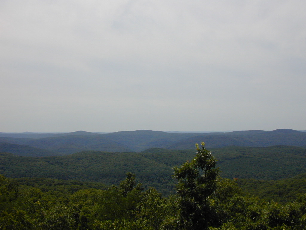
Rotary Ann Overlook
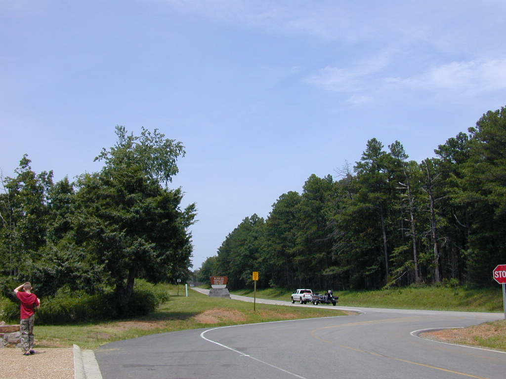
Highway 7
North Fork
North Fork

Big Piney Creek
Lower Longpool Falls
Lower Longpool Falls
Longpool Falls
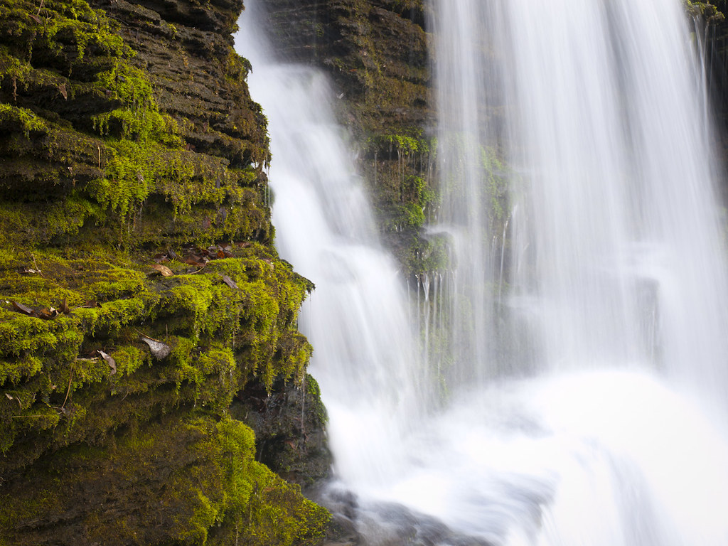
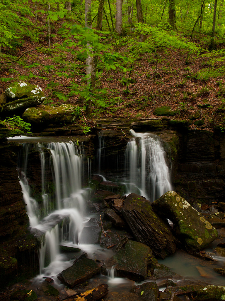
Small falls above Longpool

2014-01-07 07.19.59

2014-01-13 08.25.37

2014-01-15 17.41.27

2014-01-16 17.31.34

2014-01-20 07.09.33

2014-01-25 16.56.35

2014-01-26 11.02.27
The Big Piney creek

2013-11-11 14.50.40

2013-11-11 15.14.11
2013-11-11 15.31.01

OG Gangsta Lean..Dover Hood Rats..Throw yo set in the air...

Big Piney Creek

Long Pool (lower)
Mapa de Municipio de Liberty, Arkansas, EE. UU.
Buscar otro lugar
lugares en Municipio de Liberty, Arkansas, EE. UU.
Lugares cercanos
Broomfield Rd, Dover, AR, EE. UU.
AR-27, Hector, AR, EE. UU.
Scottsville, AR, EE. UU.
Condado de Pope, Arkansas, EE. UU.
Hector, Arkansas, EE. UU.
Municipio de Jackson, Arkansas, EE. UU.
AR-27, Hector, AR, EE. UU.
Larue Ridge Road, Larue Ridge Rd, Dover, AR, EE. UU.
Municipio de Dover, Arkansas, EE. UU.
Tater Knob, Martin Township, AR, EE. UU.
Market St, Dover, AR, EE. UU.
Dover, Arkansas, EE. UU.
Municipio de Center, Arkansas, EE. UU.
AR-, Russellville, AR, EE. UU.
Municipio de Freeman, Arkansas, EE. UU.
Victor Rd, Witts Springs, AR, EE. UU.
Municipio de Martin, Arkansas, EE. UU.
AR-7, Dover, AR, EE. UU.
AR-, Dover, AR, EE. UU.
AR-16, Witts Springs, AR, EE. UU.
Búsquedas recientes
- Horas de salida y puesta de sol de Red Dog Mine, AK, USA
- Horas de salida y puesta de sol de Am Bahnhof, Am bhf, Borken, Germany
- Horas de salida y puesta de sol de 4th St E, Sonoma, CA, EE. UU.
- Horas de salida y puesta de sol de Oakland Ave, Williamsport, PA, EE. UU.
- Horas de salida y puesta de sol de Via Roma, Pieranica CR, Italia
- Horas de salida y puesta de sol de Torre del reloj, Grad, Dubrovnik (Ragusa), Croacia
- Horas de salida y puesta de sol de Trelew, Chubut, Argentina
- Horas de salida y puesta de sol de Hartfords Bluff Cir, Mt Pleasant, SC, EE. UU.
- Horas de salida y puesta de sol de Kita Ward, Kumamoto, Japón
- Horas de salida y puesta de sol de Pingtan Island, Pingtan County, Fuzhou, China