Horas de salida y puesta de sol de Lewiston, California, EE. UU.
Location: Estados Unidos > California > Condado de Trinity >
Zona horaria:
America/Los_Angeles
Hora local:
2025-07-06 23:24:14
Longitud:
-122.8080663
Latitud:
40.6989943
Salida de sol de hoy:
05:47:48 AM
Puesta de sol de hoy:
08:44:49 PM
La duración del día hoy:
14h 57m 1s
Salida de sol de mañana:
05:48:28 AM
Puesta de sol de mañana:
08:44:28 PM
La duración del día mañana:
14h 56m 0s
Mostrar todas las fechas
| Fecha | Salida de sol | Puesta de sol | Duración del día |
|---|---|---|---|
| 01/01/2025 | 07:35:13 AM | 04:55:42 PM | 9h 20m 29s |
| 02/01/2025 | 07:35:15 AM | 04:56:35 PM | 9h 21m 20s |
| 03/01/2025 | 07:35:15 AM | 04:57:29 PM | 9h 22m 14s |
| 04/01/2025 | 07:35:12 AM | 04:58:25 PM | 9h 23m 13s |
| 05/01/2025 | 07:35:08 AM | 04:59:22 PM | 9h 24m 14s |
| 06/01/2025 | 07:35:01 AM | 05:00:21 PM | 9h 25m 20s |
| 07/01/2025 | 07:34:52 AM | 05:01:20 PM | 9h 26m 28s |
| 08/01/2025 | 07:34:40 AM | 05:02:21 PM | 9h 27m 41s |
| 09/01/2025 | 07:34:27 AM | 05:03:23 PM | 9h 28m 56s |
| 10/01/2025 | 07:34:11 AM | 05:04:27 PM | 9h 30m 16s |
| 11/01/2025 | 07:33:52 AM | 05:05:31 PM | 9h 31m 39s |
| 12/01/2025 | 07:33:32 AM | 05:06:36 PM | 9h 33m 4s |
| 13/01/2025 | 07:33:09 AM | 05:07:42 PM | 9h 34m 33s |
| 14/01/2025 | 07:32:45 AM | 05:08:49 PM | 9h 36m 4s |
| 15/01/2025 | 07:32:18 AM | 05:09:56 PM | 9h 37m 38s |
| 16/01/2025 | 07:31:49 AM | 05:11:05 PM | 9h 39m 16s |
| 17/01/2025 | 07:31:17 AM | 05:12:14 PM | 9h 40m 57s |
| 18/01/2025 | 07:30:44 AM | 05:13:24 PM | 9h 42m 40s |
| 19/01/2025 | 07:30:09 AM | 05:14:34 PM | 9h 44m 25s |
| 20/01/2025 | 07:29:31 AM | 05:15:45 PM | 9h 46m 14s |
| 21/01/2025 | 07:28:52 AM | 05:16:56 PM | 9h 48m 4s |
| 22/01/2025 | 07:28:10 AM | 05:18:08 PM | 9h 49m 58s |
| 23/01/2025 | 07:27:27 AM | 05:19:21 PM | 9h 51m 54s |
| 24/01/2025 | 07:26:42 AM | 05:20:33 PM | 9h 53m 51s |
| 25/01/2025 | 07:25:54 AM | 05:21:46 PM | 9h 55m 52s |
| 26/01/2025 | 07:25:05 AM | 05:22:59 PM | 9h 57m 54s |
| 27/01/2025 | 07:24:14 AM | 05:24:13 PM | 9h 59m 59s |
| 28/01/2025 | 07:23:21 AM | 05:25:26 PM | 10h 2m 5s |
| 29/01/2025 | 07:22:27 AM | 05:26:40 PM | 10h 4m 13s |
| 30/01/2025 | 07:21:30 AM | 05:27:54 PM | 10h 6m 24s |
| 31/01/2025 | 07:20:32 AM | 05:29:08 PM | 10h 8m 36s |
| 01/02/2025 | 07:19:32 AM | 05:30:22 PM | 10h 10m 50s |
| 02/02/2025 | 07:18:31 AM | 05:31:36 PM | 10h 13m 5s |
| 03/02/2025 | 07:17:28 AM | 05:32:50 PM | 10h 15m 22s |
| 04/02/2025 | 07:16:23 AM | 05:34:04 PM | 10h 17m 41s |
| 05/02/2025 | 07:15:17 AM | 05:35:18 PM | 10h 20m 1s |
| 06/02/2025 | 07:14:10 AM | 05:36:32 PM | 10h 22m 22s |
| 07/02/2025 | 07:13:01 AM | 05:37:45 PM | 10h 24m 44s |
| 08/02/2025 | 07:11:50 AM | 05:38:59 PM | 10h 27m 9s |
| 09/02/2025 | 07:10:38 AM | 05:40:12 PM | 10h 29m 34s |
| 10/02/2025 | 07:09:25 AM | 05:41:25 PM | 10h 32m 0s |
| 11/02/2025 | 07:08:10 AM | 05:42:38 PM | 10h 34m 28s |
| 12/02/2025 | 07:06:54 AM | 05:43:51 PM | 10h 36m 57s |
| 13/02/2025 | 07:05:37 AM | 05:45:04 PM | 10h 39m 27s |
| 14/02/2025 | 07:04:19 AM | 05:46:16 PM | 10h 41m 57s |
| 15/02/2025 | 07:02:59 AM | 05:47:28 PM | 10h 44m 29s |
| 16/02/2025 | 07:01:39 AM | 05:48:40 PM | 10h 47m 1s |
| 17/02/2025 | 07:00:17 AM | 05:49:52 PM | 10h 49m 35s |
| 18/02/2025 | 06:58:54 AM | 05:51:03 PM | 10h 52m 9s |
| 19/02/2025 | 06:57:30 AM | 05:52:14 PM | 10h 54m 44s |
| 20/02/2025 | 06:56:05 AM | 05:53:25 PM | 10h 57m 20s |
| 21/02/2025 | 06:54:40 AM | 05:54:35 PM | 10h 59m 55s |
| 22/02/2025 | 06:53:13 AM | 05:55:45 PM | 11h 2m 32s |
| 23/02/2025 | 06:51:45 AM | 05:56:55 PM | 11h 5m 10s |
| 24/02/2025 | 06:50:17 AM | 05:58:04 PM | 11h 7m 47s |
| 25/02/2025 | 06:48:47 AM | 05:59:14 PM | 11h 10m 27s |
| 26/02/2025 | 06:47:17 AM | 06:00:23 PM | 11h 13m 6s |
| 27/02/2025 | 06:45:46 AM | 06:01:31 PM | 11h 15m 45s |
| 28/02/2025 | 06:44:15 AM | 06:02:39 PM | 11h 18m 24s |
| 01/03/2025 | 06:42:42 AM | 06:03:47 PM | 11h 21m 5s |
| 02/03/2025 | 06:41:09 AM | 06:04:55 PM | 11h 23m 46s |
| 03/03/2025 | 06:39:36 AM | 06:06:03 PM | 11h 26m 27s |
| 04/03/2025 | 06:38:01 AM | 06:07:10 PM | 11h 29m 9s |
| 05/03/2025 | 06:36:27 AM | 06:08:17 PM | 11h 31m 50s |
| 06/03/2025 | 06:34:51 AM | 06:09:23 PM | 11h 34m 32s |
| 07/03/2025 | 06:33:15 AM | 06:10:30 PM | 11h 37m 15s |
| 08/03/2025 | 06:31:39 AM | 06:11:36 PM | 11h 39m 57s |
| 09/03/2025 | 07:30:07 AM | 07:12:39 PM | 11h 42m 32s |
| 10/03/2025 | 07:28:29 AM | 07:13:44 PM | 11h 45m 15s |
| 11/03/2025 | 07:26:52 AM | 07:14:50 PM | 11h 47m 58s |
| 12/03/2025 | 07:25:14 AM | 07:15:55 PM | 11h 50m 41s |
| 13/03/2025 | 07:23:36 AM | 07:17:00 PM | 11h 53m 24s |
| 14/03/2025 | 07:21:58 AM | 07:18:05 PM | 11h 56m 7s |
| 15/03/2025 | 07:20:19 AM | 07:19:09 PM | 11h 58m 50s |
| 16/03/2025 | 07:18:40 AM | 07:20:13 PM | 12h 1m 33s |
| 17/03/2025 | 07:17:01 AM | 07:21:18 PM | 12h 4m 17s |
| 18/03/2025 | 07:15:22 AM | 07:22:22 PM | 12h 7m 0s |
| 19/03/2025 | 07:13:43 AM | 07:23:26 PM | 12h 9m 43s |
| 20/03/2025 | 07:12:03 AM | 07:24:29 PM | 12h 12m 26s |
| 21/03/2025 | 07:10:24 AM | 07:25:33 PM | 12h 15m 9s |
| 22/03/2025 | 07:08:45 AM | 07:26:36 PM | 12h 17m 51s |
| 23/03/2025 | 07:07:05 AM | 07:27:40 PM | 12h 20m 35s |
| 24/03/2025 | 07:05:26 AM | 07:28:43 PM | 12h 23m 17s |
| 25/03/2025 | 07:03:46 AM | 07:29:46 PM | 12h 26m 0s |
| 26/03/2025 | 07:02:07 AM | 07:30:49 PM | 12h 28m 42s |
| 27/03/2025 | 07:00:28 AM | 07:31:52 PM | 12h 31m 24s |
| 28/03/2025 | 06:58:49 AM | 07:32:55 PM | 12h 34m 6s |
| 29/03/2025 | 06:57:10 AM | 07:33:58 PM | 12h 36m 48s |
| 30/03/2025 | 06:55:31 AM | 07:35:01 PM | 12h 39m 30s |
| 31/03/2025 | 06:53:53 AM | 07:36:04 PM | 12h 42m 11s |
| 01/04/2025 | 06:52:15 AM | 07:37:06 PM | 12h 44m 51s |
| 02/04/2025 | 06:50:37 AM | 07:38:09 PM | 12h 47m 32s |
| 03/04/2025 | 06:49:00 AM | 07:39:12 PM | 12h 50m 12s |
| 04/04/2025 | 06:47:22 AM | 07:40:14 PM | 12h 52m 52s |
| 05/04/2025 | 06:45:46 AM | 07:41:17 PM | 12h 55m 31s |
| 06/04/2025 | 06:44:09 AM | 07:42:20 PM | 12h 58m 11s |
| 07/04/2025 | 06:42:34 AM | 07:43:23 PM | 13h 0m 49s |
| 08/04/2025 | 06:40:58 AM | 07:44:25 PM | 13h 3m 27s |
| 09/04/2025 | 06:39:24 AM | 07:45:28 PM | 13h 6m 4s |
| 10/04/2025 | 06:37:49 AM | 07:46:31 PM | 13h 8m 42s |
| 11/04/2025 | 06:36:16 AM | 07:47:34 PM | 13h 11m 18s |
| 12/04/2025 | 06:34:43 AM | 07:48:36 PM | 13h 13m 53s |
| 13/04/2025 | 06:33:10 AM | 07:49:39 PM | 13h 16m 29s |
| 14/04/2025 | 06:31:38 AM | 07:50:42 PM | 13h 19m 4s |
| 15/04/2025 | 06:30:07 AM | 07:51:45 PM | 13h 21m 38s |
| 16/04/2025 | 06:28:37 AM | 07:52:48 PM | 13h 24m 11s |
| 17/04/2025 | 06:27:07 AM | 07:53:50 PM | 13h 26m 43s |
| 18/04/2025 | 06:25:39 AM | 07:54:53 PM | 13h 29m 14s |
| 19/04/2025 | 06:24:11 AM | 07:55:56 PM | 13h 31m 45s |
| 20/04/2025 | 06:22:44 AM | 07:56:59 PM | 13h 34m 15s |
| 21/04/2025 | 06:21:18 AM | 07:58:02 PM | 13h 36m 44s |
| 22/04/2025 | 06:19:52 AM | 07:59:05 PM | 13h 39m 13s |
| 23/04/2025 | 06:18:28 AM | 08:00:08 PM | 13h 41m 40s |
| 24/04/2025 | 06:17:05 AM | 08:01:11 PM | 13h 44m 6s |
| 25/04/2025 | 06:15:43 AM | 08:02:13 PM | 13h 46m 30s |
| 26/04/2025 | 06:14:22 AM | 08:03:16 PM | 13h 48m 54s |
| 27/04/2025 | 06:13:02 AM | 08:04:19 PM | 13h 51m 17s |
| 28/04/2025 | 06:11:43 AM | 08:05:21 PM | 13h 53m 38s |
| 29/04/2025 | 06:10:25 AM | 08:06:24 PM | 13h 55m 59s |
| 30/04/2025 | 06:09:08 AM | 08:07:26 PM | 13h 58m 18s |
| 01/05/2025 | 06:07:53 AM | 08:08:28 PM | 14h 0m 35s |
| 02/05/2025 | 06:06:39 AM | 08:09:30 PM | 14h 2m 51s |
| 03/05/2025 | 06:05:26 AM | 08:10:32 PM | 14h 5m 6s |
| 04/05/2025 | 06:04:14 AM | 08:11:34 PM | 14h 7m 20s |
| 05/05/2025 | 06:03:04 AM | 08:12:35 PM | 14h 9m 31s |
| 06/05/2025 | 06:01:55 AM | 08:13:36 PM | 14h 11m 41s |
| 07/05/2025 | 06:00:48 AM | 08:14:37 PM | 14h 13m 49s |
| 08/05/2025 | 05:59:42 AM | 08:15:38 PM | 14h 15m 56s |
| 09/05/2025 | 05:58:37 AM | 08:16:38 PM | 14h 18m 1s |
| 10/05/2025 | 05:57:34 AM | 08:17:38 PM | 14h 20m 4s |
| 11/05/2025 | 05:56:32 AM | 08:18:38 PM | 14h 22m 6s |
| 12/05/2025 | 05:55:32 AM | 08:19:37 PM | 14h 24m 5s |
| 13/05/2025 | 05:54:34 AM | 08:20:36 PM | 14h 26m 2s |
| 14/05/2025 | 05:53:37 AM | 08:21:34 PM | 14h 27m 57s |
| 15/05/2025 | 05:52:42 AM | 08:22:32 PM | 14h 29m 50s |
| 16/05/2025 | 05:51:49 AM | 08:23:29 PM | 14h 31m 40s |
| 17/05/2025 | 05:50:57 AM | 08:24:26 PM | 14h 33m 29s |
| 18/05/2025 | 05:50:07 AM | 08:25:22 PM | 14h 35m 15s |
| 19/05/2025 | 05:49:18 AM | 08:26:17 PM | 14h 36m 59s |
| 20/05/2025 | 05:48:32 AM | 08:27:12 PM | 14h 38m 40s |
| 21/05/2025 | 05:47:47 AM | 08:28:06 PM | 14h 40m 19s |
| 22/05/2025 | 05:47:04 AM | 08:28:59 PM | 14h 41m 55s |
| 23/05/2025 | 05:46:23 AM | 08:29:51 PM | 14h 43m 28s |
| 24/05/2025 | 05:45:44 AM | 08:30:43 PM | 14h 44m 59s |
| 25/05/2025 | 05:45:06 AM | 08:31:34 PM | 14h 46m 28s |
| 26/05/2025 | 05:44:31 AM | 08:32:23 PM | 14h 47m 52s |
| 27/05/2025 | 05:43:57 AM | 08:33:12 PM | 14h 49m 15s |
| 28/05/2025 | 05:43:25 AM | 08:34:00 PM | 14h 50m 35s |
| 29/05/2025 | 05:42:55 AM | 08:34:46 PM | 14h 51m 51s |
| 30/05/2025 | 05:42:28 AM | 08:35:32 PM | 14h 53m 4s |
| 31/05/2025 | 05:42:02 AM | 08:36:16 PM | 14h 54m 14s |
| 01/06/2025 | 05:41:38 AM | 08:36:59 PM | 14h 55m 21s |
| 02/06/2025 | 05:41:16 AM | 08:37:41 PM | 14h 56m 25s |
| 03/06/2025 | 05:40:56 AM | 08:38:21 PM | 14h 57m 25s |
| 04/06/2025 | 05:40:38 AM | 08:39:01 PM | 14h 58m 23s |
| 05/06/2025 | 05:40:22 AM | 08:39:39 PM | 14h 59m 17s |
| 06/06/2025 | 05:40:08 AM | 08:40:15 PM | 15h 0m 7s |
| 07/06/2025 | 05:39:56 AM | 08:40:50 PM | 15h 0m 54s |
| 08/06/2025 | 05:39:46 AM | 08:41:24 PM | 15h 1m 38s |
| 09/06/2025 | 05:39:38 AM | 08:41:56 PM | 15h 2m 18s |
| 10/06/2025 | 05:39:32 AM | 08:42:26 PM | 15h 2m 54s |
| 11/06/2025 | 05:39:28 AM | 08:42:55 PM | 15h 3m 27s |
| 12/06/2025 | 05:39:26 AM | 08:43:22 PM | 15h 3m 56s |
| 13/06/2025 | 05:39:26 AM | 08:43:48 PM | 15h 4m 22s |
| 14/06/2025 | 05:39:28 AM | 08:44:12 PM | 15h 4m 44s |
| 15/06/2025 | 05:39:31 AM | 08:44:34 PM | 15h 5m 3s |
| 16/06/2025 | 05:39:37 AM | 08:44:54 PM | 15h 5m 17s |
| 17/06/2025 | 05:39:45 AM | 08:45:13 PM | 15h 5m 28s |
| 18/06/2025 | 05:39:54 AM | 08:45:30 PM | 15h 5m 36s |
| 19/06/2025 | 05:40:05 AM | 08:45:44 PM | 15h 5m 39s |
| 20/06/2025 | 05:40:18 AM | 08:45:57 PM | 15h 5m 39s |
| 21/06/2025 | 05:40:33 AM | 08:46:09 PM | 15h 5m 36s |
| 22/06/2025 | 05:40:50 AM | 08:46:18 PM | 15h 5m 28s |
| 23/06/2025 | 05:41:09 AM | 08:46:25 PM | 15h 5m 16s |
| 24/06/2025 | 05:41:29 AM | 08:46:30 PM | 15h 5m 1s |
| 25/06/2025 | 05:41:51 AM | 08:46:34 PM | 15h 4m 43s |
| 26/06/2025 | 05:42:14 AM | 08:46:35 PM | 15h 4m 21s |
| 27/06/2025 | 05:42:39 AM | 08:46:34 PM | 15h 3m 55s |
| 28/06/2025 | 05:43:06 AM | 08:46:32 PM | 15h 3m 26s |
| 29/06/2025 | 05:43:34 AM | 08:46:27 PM | 15h 2m 53s |
| 30/06/2025 | 05:44:04 AM | 08:46:20 PM | 15h 2m 16s |
| 01/07/2025 | 05:44:36 AM | 08:46:11 PM | 15h 1m 35s |
| 02/07/2025 | 05:45:08 AM | 08:46:01 PM | 15h 0m 53s |
| 03/07/2025 | 05:45:43 AM | 08:45:48 PM | 15h 0m 5s |
| 04/07/2025 | 05:46:18 AM | 08:45:33 PM | 14h 59m 15s |
| 05/07/2025 | 05:46:55 AM | 08:45:16 PM | 14h 58m 21s |
| 06/07/2025 | 05:47:33 AM | 08:44:57 PM | 14h 57m 24s |
| 07/07/2025 | 05:48:13 AM | 08:44:36 PM | 14h 56m 23s |
| 08/07/2025 | 05:48:53 AM | 08:44:13 PM | 14h 55m 20s |
| 09/07/2025 | 05:49:35 AM | 08:43:48 PM | 14h 54m 13s |
| 10/07/2025 | 05:50:18 AM | 08:43:21 PM | 14h 53m 3s |
| 11/07/2025 | 05:51:02 AM | 08:42:52 PM | 14h 51m 50s |
| 12/07/2025 | 05:51:47 AM | 08:42:21 PM | 14h 50m 34s |
| 13/07/2025 | 05:52:33 AM | 08:41:48 PM | 14h 49m 15s |
| 14/07/2025 | 05:53:20 AM | 08:41:13 PM | 14h 47m 53s |
| 15/07/2025 | 05:54:08 AM | 08:40:37 PM | 14h 46m 29s |
| 16/07/2025 | 05:54:56 AM | 08:39:58 PM | 14h 45m 2s |
| 17/07/2025 | 05:55:46 AM | 08:39:17 PM | 14h 43m 31s |
| 18/07/2025 | 05:56:36 AM | 08:38:35 PM | 14h 41m 59s |
| 19/07/2025 | 05:57:27 AM | 08:37:51 PM | 14h 40m 24s |
| 20/07/2025 | 05:58:19 AM | 08:37:04 PM | 14h 38m 45s |
| 21/07/2025 | 05:59:11 AM | 08:36:17 PM | 14h 37m 6s |
| 22/07/2025 | 06:00:04 AM | 08:35:27 PM | 14h 35m 23s |
| 23/07/2025 | 06:00:58 AM | 08:34:35 PM | 14h 33m 37s |
| 24/07/2025 | 06:01:52 AM | 08:33:42 PM | 14h 31m 50s |
| 25/07/2025 | 06:02:47 AM | 08:32:47 PM | 14h 30m 0s |
| 26/07/2025 | 06:03:42 AM | 08:31:51 PM | 14h 28m 9s |
| 27/07/2025 | 06:04:38 AM | 08:30:52 PM | 14h 26m 14s |
| 28/07/2025 | 06:05:34 AM | 08:29:53 PM | 14h 24m 19s |
| 29/07/2025 | 06:06:30 AM | 08:28:51 PM | 14h 22m 21s |
| 30/07/2025 | 06:07:27 AM | 08:27:48 PM | 14h 20m 21s |
| 31/07/2025 | 06:08:24 AM | 08:26:44 PM | 14h 18m 20s |
| 01/08/2025 | 06:09:21 AM | 08:25:37 PM | 14h 16m 16s |
| 02/08/2025 | 06:10:19 AM | 08:24:30 PM | 14h 14m 11s |
| 03/08/2025 | 06:11:16 AM | 08:23:21 PM | 14h 12m 5s |
| 04/08/2025 | 06:12:14 AM | 08:22:11 PM | 14h 9m 57s |
| 05/08/2025 | 06:13:13 AM | 08:20:59 PM | 14h 7m 46s |
| 06/08/2025 | 06:14:11 AM | 08:19:46 PM | 14h 5m 35s |
| 07/08/2025 | 06:15:10 AM | 08:18:31 PM | 14h 3m 21s |
| 08/08/2025 | 06:16:08 AM | 08:17:16 PM | 14h 1m 8s |
| 09/08/2025 | 06:17:07 AM | 08:15:59 PM | 13h 58m 52s |
| 10/08/2025 | 06:18:06 AM | 08:14:40 PM | 13h 56m 34s |
| 11/08/2025 | 06:19:05 AM | 08:13:21 PM | 13h 54m 16s |
| 12/08/2025 | 06:20:04 AM | 08:12:01 PM | 13h 51m 57s |
| 13/08/2025 | 06:21:03 AM | 08:10:39 PM | 13h 49m 36s |
| 14/08/2025 | 06:22:02 AM | 08:09:16 PM | 13h 47m 14s |
| 15/08/2025 | 06:23:01 AM | 08:07:52 PM | 13h 44m 51s |
| 16/08/2025 | 06:24:00 AM | 08:06:27 PM | 13h 42m 27s |
| 17/08/2025 | 06:24:59 AM | 08:05:02 PM | 13h 40m 3s |
| 18/08/2025 | 06:25:58 AM | 08:03:35 PM | 13h 37m 37s |
| 19/08/2025 | 06:26:57 AM | 08:02:07 PM | 13h 35m 10s |
| 20/08/2025 | 06:27:56 AM | 08:00:38 PM | 13h 32m 42s |
| 21/08/2025 | 06:28:54 AM | 07:59:09 PM | 13h 30m 15s |
| 22/08/2025 | 06:29:53 AM | 07:57:38 PM | 13h 27m 45s |
| 23/08/2025 | 06:30:52 AM | 07:56:07 PM | 13h 25m 15s |
| 24/08/2025 | 06:31:51 AM | 07:54:35 PM | 13h 22m 44s |
| 25/08/2025 | 06:32:50 AM | 07:53:02 PM | 13h 20m 12s |
| 26/08/2025 | 06:33:48 AM | 07:51:29 PM | 13h 17m 41s |
| 27/08/2025 | 06:34:47 AM | 07:49:55 PM | 13h 15m 8s |
| 28/08/2025 | 06:35:45 AM | 07:48:20 PM | 13h 12m 35s |
| 29/08/2025 | 06:36:44 AM | 07:46:45 PM | 13h 10m 1s |
| 30/08/2025 | 06:37:42 AM | 07:45:09 PM | 13h 7m 27s |
| 31/08/2025 | 06:38:41 AM | 07:43:32 PM | 13h 4m 51s |
| 01/09/2025 | 06:39:39 AM | 07:41:55 PM | 13h 2m 16s |
| 02/09/2025 | 06:40:38 AM | 07:40:17 PM | 12h 59m 39s |
| 03/09/2025 | 06:41:36 AM | 07:38:39 PM | 12h 57m 3s |
| 04/09/2025 | 06:42:34 AM | 07:37:01 PM | 12h 54m 27s |
| 05/09/2025 | 06:43:33 AM | 07:35:22 PM | 12h 51m 49s |
| 06/09/2025 | 06:44:31 AM | 07:33:43 PM | 12h 49m 12s |
| 07/09/2025 | 06:45:29 AM | 07:32:03 PM | 12h 46m 34s |
| 08/09/2025 | 06:46:27 AM | 07:30:23 PM | 12h 43m 56s |
| 09/09/2025 | 06:47:26 AM | 07:28:43 PM | 12h 41m 17s |
| 10/09/2025 | 06:48:24 AM | 07:27:02 PM | 12h 38m 38s |
| 11/09/2025 | 06:49:22 AM | 07:25:21 PM | 12h 35m 59s |
| 12/09/2025 | 06:50:21 AM | 07:23:40 PM | 12h 33m 19s |
| 13/09/2025 | 06:51:19 AM | 07:21:59 PM | 12h 30m 40s |
| 14/09/2025 | 06:52:17 AM | 07:20:18 PM | 12h 28m 1s |
| 15/09/2025 | 06:53:16 AM | 07:18:36 PM | 12h 25m 20s |
| 16/09/2025 | 06:54:14 AM | 07:16:55 PM | 12h 22m 41s |
| 17/09/2025 | 06:55:13 AM | 07:15:13 PM | 12h 20m 0s |
| 18/09/2025 | 06:56:12 AM | 07:13:32 PM | 12h 17m 20s |
| 19/09/2025 | 06:57:11 AM | 07:11:50 PM | 12h 14m 39s |
| 20/09/2025 | 06:58:10 AM | 07:10:09 PM | 12h 11m 59s |
| 21/09/2025 | 06:59:09 AM | 07:08:27 PM | 12h 9m 18s |
| 22/09/2025 | 07:00:08 AM | 07:06:46 PM | 12h 6m 38s |
| 23/09/2025 | 07:01:08 AM | 07:05:05 PM | 12h 3m 57s |
| 24/09/2025 | 07:02:07 AM | 07:03:24 PM | 12h 1m 17s |
| 25/09/2025 | 07:03:07 AM | 07:01:43 PM | 11h 58m 36s |
| 26/09/2025 | 07:04:07 AM | 07:00:02 PM | 11h 55m 55s |
| 27/09/2025 | 07:05:07 AM | 06:58:21 PM | 11h 53m 14s |
| 28/09/2025 | 07:06:07 AM | 06:56:41 PM | 11h 50m 34s |
| 29/09/2025 | 07:07:08 AM | 06:55:01 PM | 11h 47m 53s |
| 30/09/2025 | 07:08:09 AM | 06:53:22 PM | 11h 45m 13s |
| 01/10/2025 | 07:09:10 AM | 06:51:43 PM | 11h 42m 33s |
| 02/10/2025 | 07:10:11 AM | 06:50:04 PM | 11h 39m 53s |
| 03/10/2025 | 07:11:13 AM | 06:48:25 PM | 11h 37m 12s |
| 04/10/2025 | 07:12:15 AM | 06:46:48 PM | 11h 34m 33s |
| 05/10/2025 | 07:13:17 AM | 06:45:10 PM | 11h 31m 53s |
| 06/10/2025 | 07:14:19 AM | 06:43:33 PM | 11h 29m 14s |
| 07/10/2025 | 07:15:22 AM | 06:41:57 PM | 11h 26m 35s |
| 08/10/2025 | 07:16:25 AM | 06:40:21 PM | 11h 23m 56s |
| 09/10/2025 | 07:17:28 AM | 06:38:46 PM | 11h 21m 18s |
| 10/10/2025 | 07:18:31 AM | 06:37:11 PM | 11h 18m 40s |
| 11/10/2025 | 07:19:35 AM | 06:35:38 PM | 11h 16m 3s |
| 12/10/2025 | 07:20:39 AM | 06:34:05 PM | 11h 13m 26s |
| 13/10/2025 | 07:21:44 AM | 06:32:32 PM | 11h 10m 48s |
| 14/10/2025 | 07:22:49 AM | 06:31:01 PM | 11h 8m 12s |
| 15/10/2025 | 07:23:54 AM | 06:29:30 PM | 11h 5m 36s |
| 16/10/2025 | 07:24:59 AM | 06:28:00 PM | 11h 3m 1s |
| 17/10/2025 | 07:26:05 AM | 06:26:31 PM | 11h 0m 26s |
| 18/10/2025 | 07:27:11 AM | 06:25:03 PM | 10h 57m 52s |
| 19/10/2025 | 07:28:18 AM | 06:23:36 PM | 10h 55m 18s |
| 20/10/2025 | 07:29:25 AM | 06:22:10 PM | 10h 52m 45s |
| 21/10/2025 | 07:30:32 AM | 06:20:44 PM | 10h 50m 12s |
| 22/10/2025 | 07:31:39 AM | 06:19:20 PM | 10h 47m 41s |
| 23/10/2025 | 07:32:47 AM | 06:17:57 PM | 10h 45m 10s |
| 24/10/2025 | 07:33:55 AM | 06:16:36 PM | 10h 42m 41s |
| 25/10/2025 | 07:35:03 AM | 06:15:15 PM | 10h 40m 12s |
| 26/10/2025 | 07:36:12 AM | 06:13:55 PM | 10h 37m 43s |
| 27/10/2025 | 07:37:21 AM | 06:12:37 PM | 10h 35m 16s |
| 28/10/2025 | 07:38:30 AM | 06:11:20 PM | 10h 32m 50s |
| 29/10/2025 | 07:39:39 AM | 06:10:04 PM | 10h 30m 25s |
| 30/10/2025 | 07:40:49 AM | 06:08:50 PM | 10h 28m 1s |
| 31/10/2025 | 07:41:59 AM | 06:07:37 PM | 10h 25m 38s |
| 01/11/2025 | 07:43:09 AM | 06:06:25 PM | 10h 23m 16s |
| 02/11/2025 | 06:44:22 AM | 05:05:12 PM | 10h 20m 50s |
| 03/11/2025 | 06:45:32 AM | 05:04:04 PM | 10h 18m 32s |
| 04/11/2025 | 06:46:43 AM | 05:02:57 PM | 10h 16m 14s |
| 05/11/2025 | 06:47:53 AM | 05:01:51 PM | 10h 13m 58s |
| 06/11/2025 | 06:49:04 AM | 05:00:47 PM | 10h 11m 43s |
| 07/11/2025 | 06:50:15 AM | 04:59:45 PM | 10h 9m 30s |
| 08/11/2025 | 06:51:25 AM | 04:58:44 PM | 10h 7m 19s |
| 09/11/2025 | 06:52:36 AM | 04:57:45 PM | 10h 5m 9s |
| 10/11/2025 | 06:53:47 AM | 04:56:48 PM | 10h 3m 1s |
| 11/11/2025 | 06:54:57 AM | 04:55:53 PM | 10h 0m 56s |
| 12/11/2025 | 06:56:08 AM | 04:54:59 PM | 9h 58m 51s |
| 13/11/2025 | 06:57:18 AM | 04:54:07 PM | 9h 56m 49s |
| 14/11/2025 | 06:58:29 AM | 04:53:18 PM | 9h 54m 49s |
| 15/11/2025 | 06:59:39 AM | 04:52:30 PM | 9h 52m 51s |
| 16/11/2025 | 07:00:48 AM | 04:51:43 PM | 9h 50m 55s |
| 17/11/2025 | 07:01:58 AM | 04:50:59 PM | 9h 49m 1s |
| 18/11/2025 | 07:03:07 AM | 04:50:17 PM | 9h 47m 10s |
| 19/11/2025 | 07:04:15 AM | 04:49:37 PM | 9h 45m 22s |
| 20/11/2025 | 07:05:24 AM | 04:48:59 PM | 9h 43m 35s |
| 21/11/2025 | 07:06:32 AM | 04:48:23 PM | 9h 41m 51s |
| 22/11/2025 | 07:07:39 AM | 04:47:49 PM | 9h 40m 10s |
| 23/11/2025 | 07:08:45 AM | 04:47:18 PM | 9h 38m 33s |
| 24/11/2025 | 07:09:51 AM | 04:46:48 PM | 9h 36m 57s |
| 25/11/2025 | 07:10:57 AM | 04:46:21 PM | 9h 35m 24s |
| 26/11/2025 | 07:12:01 AM | 04:45:55 PM | 9h 33m 54s |
| 27/11/2025 | 07:13:05 AM | 04:45:32 PM | 9h 32m 27s |
| 28/11/2025 | 07:14:08 AM | 04:45:12 PM | 9h 31m 4s |
| 29/11/2025 | 07:15:10 AM | 04:44:53 PM | 9h 29m 43s |
| 30/11/2025 | 07:16:11 AM | 04:44:37 PM | 9h 28m 26s |
| 01/12/2025 | 07:17:11 AM | 04:44:23 PM | 9h 27m 12s |
| 02/12/2025 | 07:18:10 AM | 04:44:11 PM | 9h 26m 1s |
| 03/12/2025 | 07:19:08 AM | 04:44:02 PM | 9h 24m 54s |
| 04/12/2025 | 07:20:05 AM | 04:43:55 PM | 9h 23m 50s |
| 05/12/2025 | 07:21:00 AM | 04:43:50 PM | 9h 22m 50s |
| 06/12/2025 | 07:21:54 AM | 04:43:48 PM | 9h 21m 54s |
| 07/12/2025 | 07:22:47 AM | 04:43:48 PM | 9h 21m 1s |
| 08/12/2025 | 07:23:39 AM | 04:43:50 PM | 9h 20m 11s |
| 09/12/2025 | 07:24:29 AM | 04:43:54 PM | 9h 19m 25s |
| 10/12/2025 | 07:25:17 AM | 04:44:01 PM | 9h 18m 44s |
| 11/12/2025 | 07:26:04 AM | 04:44:10 PM | 9h 18m 6s |
| 12/12/2025 | 07:26:49 AM | 04:44:22 PM | 9h 17m 33s |
| 13/12/2025 | 07:27:33 AM | 04:44:35 PM | 9h 17m 2s |
| 14/12/2025 | 07:28:15 AM | 04:44:51 PM | 9h 16m 36s |
| 15/12/2025 | 07:28:55 AM | 04:45:09 PM | 9h 16m 14s |
| 16/12/2025 | 07:29:33 AM | 04:45:29 PM | 9h 15m 56s |
| 17/12/2025 | 07:30:10 AM | 04:45:52 PM | 9h 15m 42s |
| 18/12/2025 | 07:30:44 AM | 04:46:17 PM | 9h 15m 33s |
| 19/12/2025 | 07:31:17 AM | 04:46:43 PM | 9h 15m 26s |
| 20/12/2025 | 07:31:48 AM | 04:47:12 PM | 9h 15m 24s |
| 21/12/2025 | 07:32:16 AM | 04:47:43 PM | 9h 15m 27s |
| 22/12/2025 | 07:32:43 AM | 04:48:16 PM | 9h 15m 33s |
| 23/12/2025 | 07:33:08 AM | 04:48:51 PM | 9h 15m 43s |
| 24/12/2025 | 07:33:30 AM | 04:49:28 PM | 9h 15m 58s |
| 25/12/2025 | 07:33:50 AM | 04:50:07 PM | 9h 16m 17s |
| 26/12/2025 | 07:34:09 AM | 04:50:48 PM | 9h 16m 39s |
| 27/12/2025 | 07:34:25 AM | 04:51:31 PM | 9h 17m 6s |
| 28/12/2025 | 07:34:39 AM | 04:52:15 PM | 9h 17m 36s |
| 29/12/2025 | 07:34:50 AM | 04:53:01 PM | 9h 18m 11s |
| 30/12/2025 | 07:35:00 AM | 04:53:49 PM | 9h 18m 49s |
| 31/12/2025 | 07:35:07 AM | 04:54:38 PM | 9h 19m 31s |
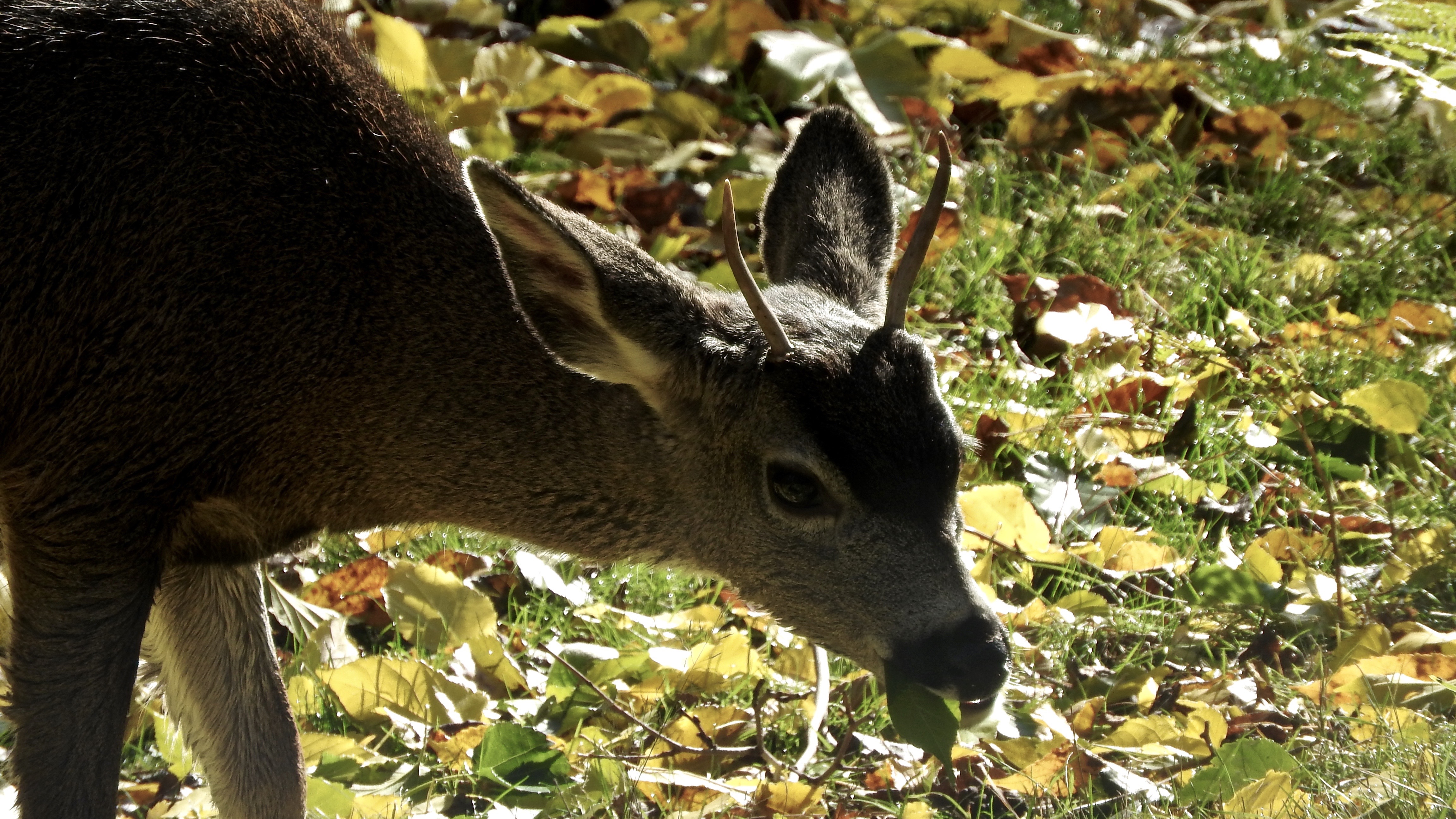
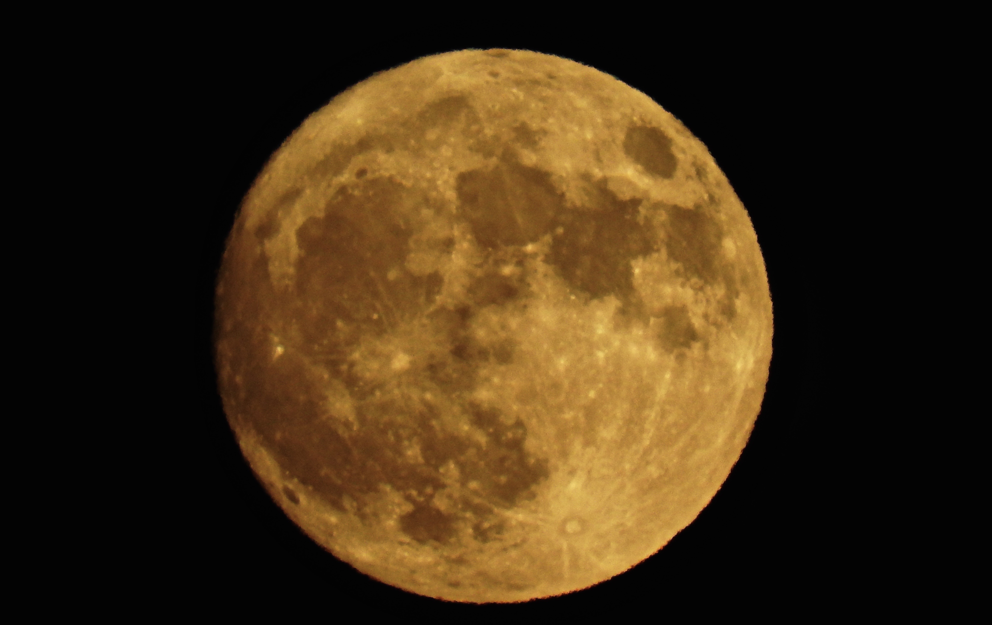
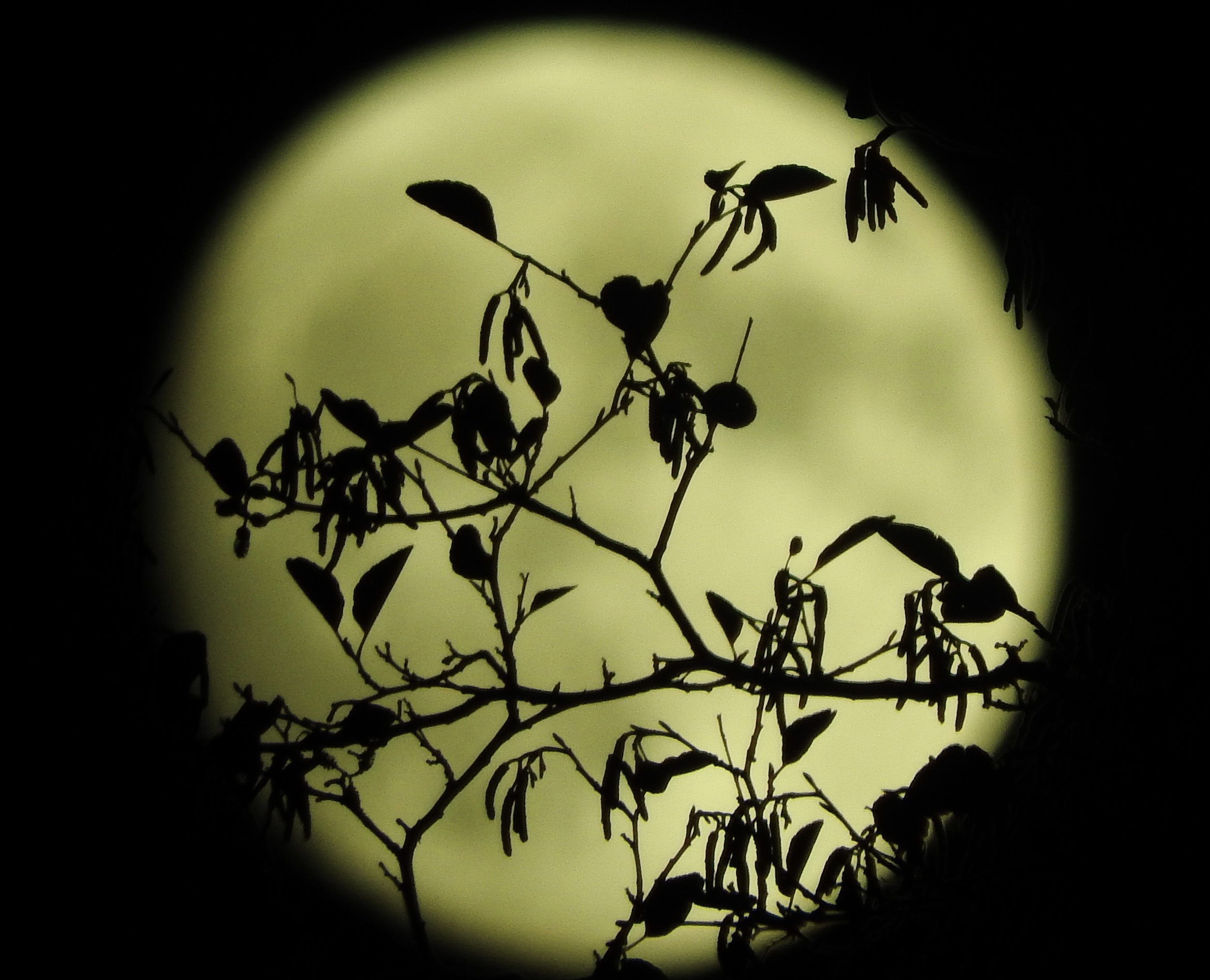
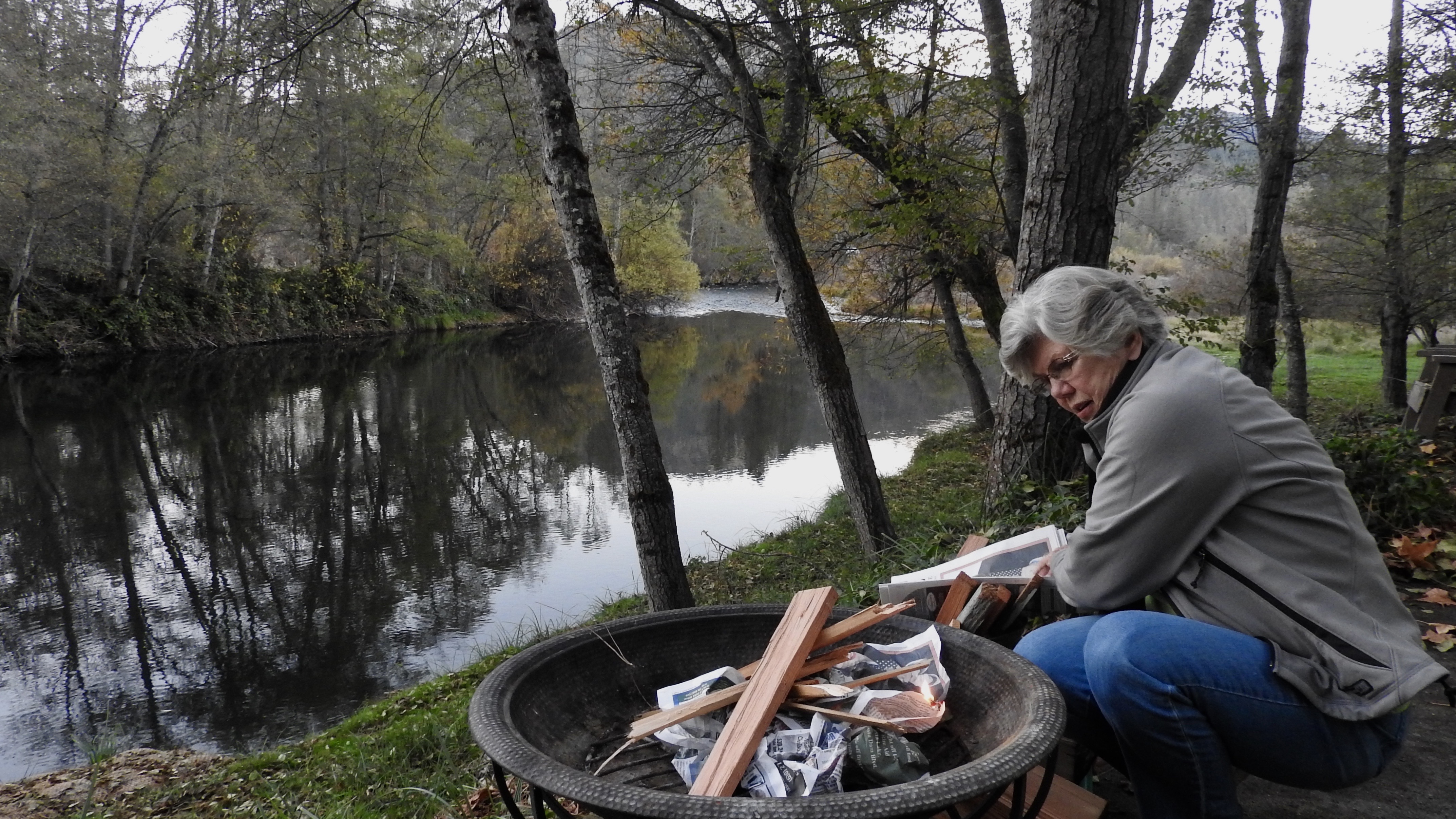
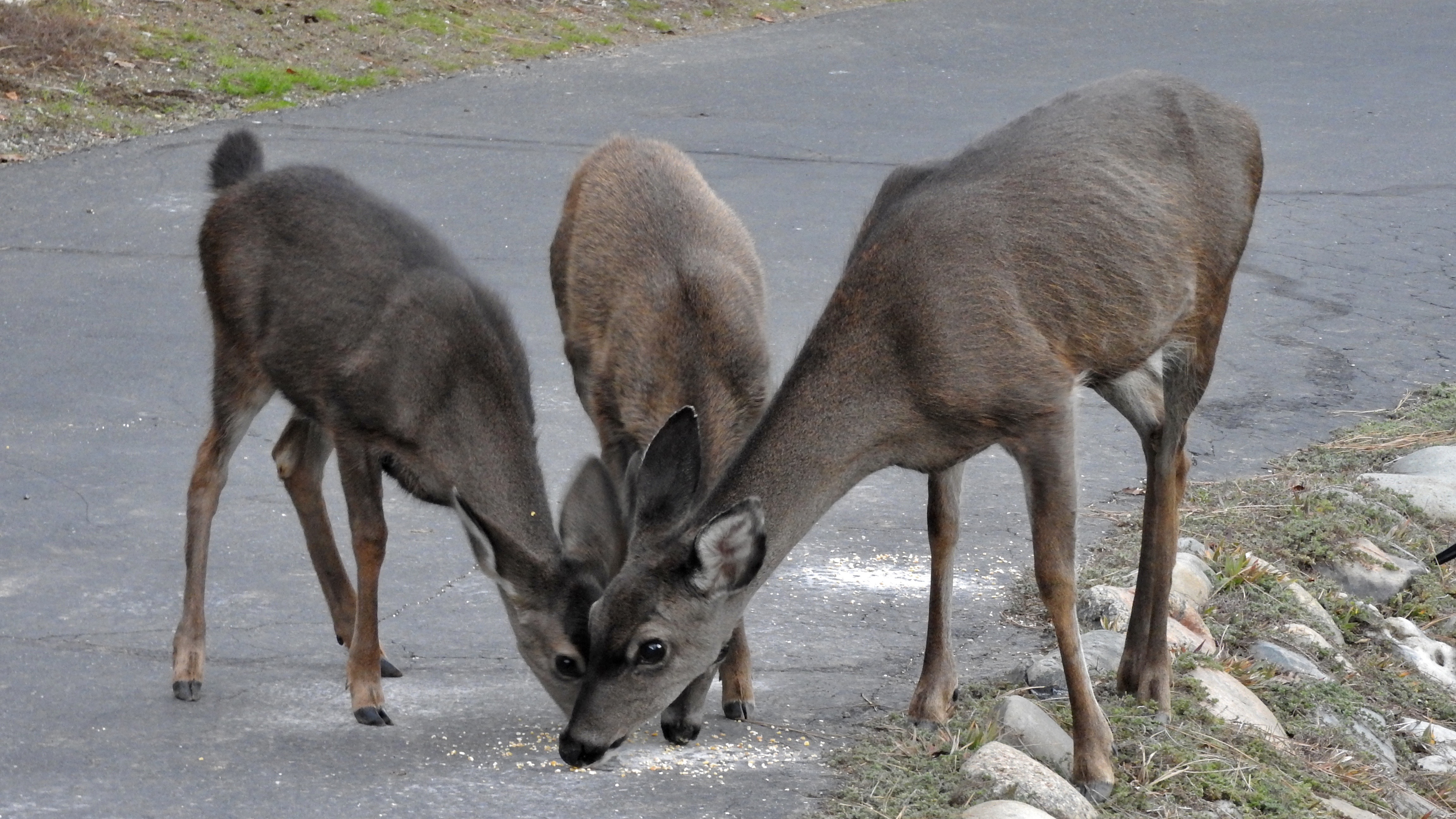
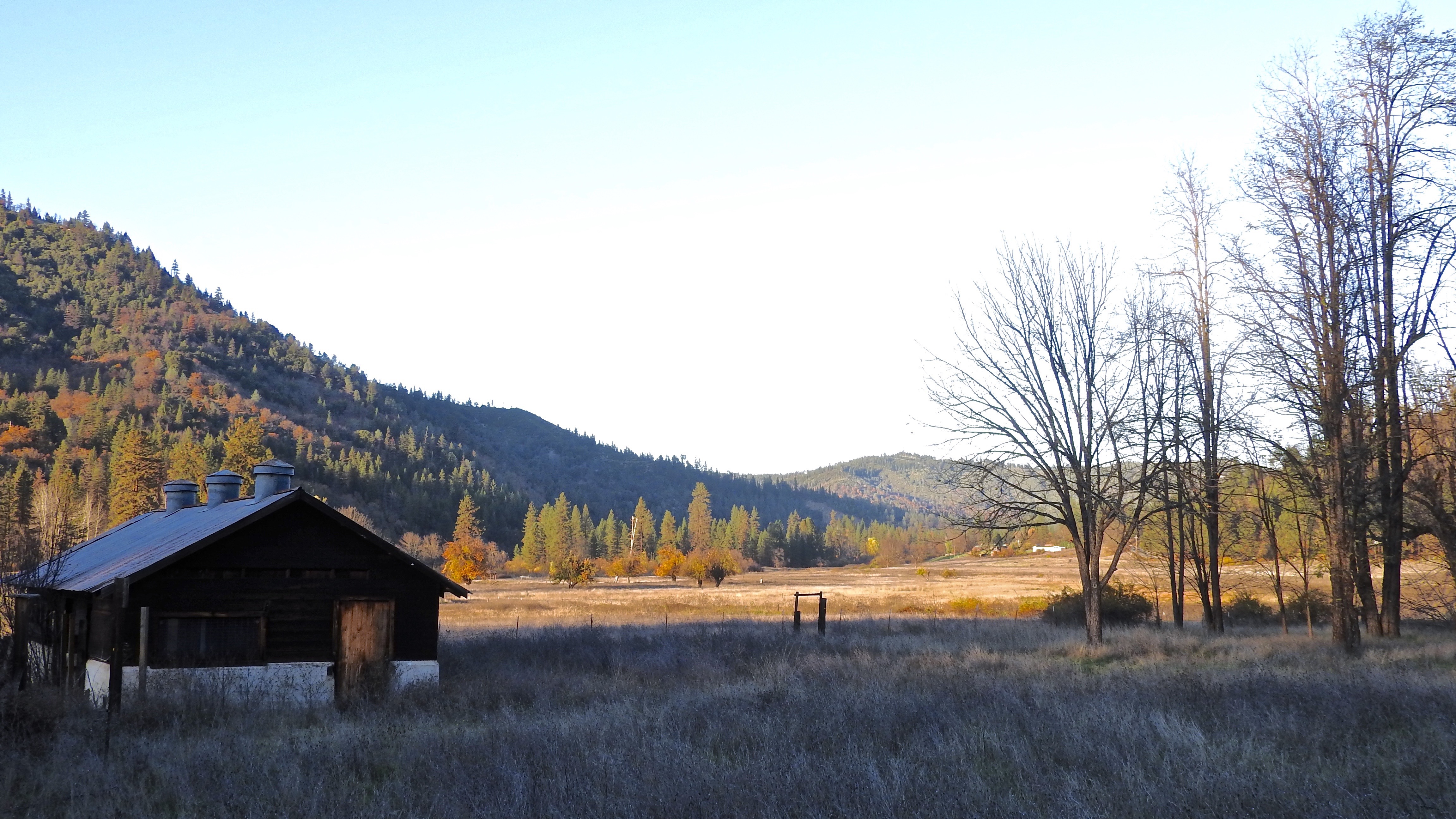
Fotos
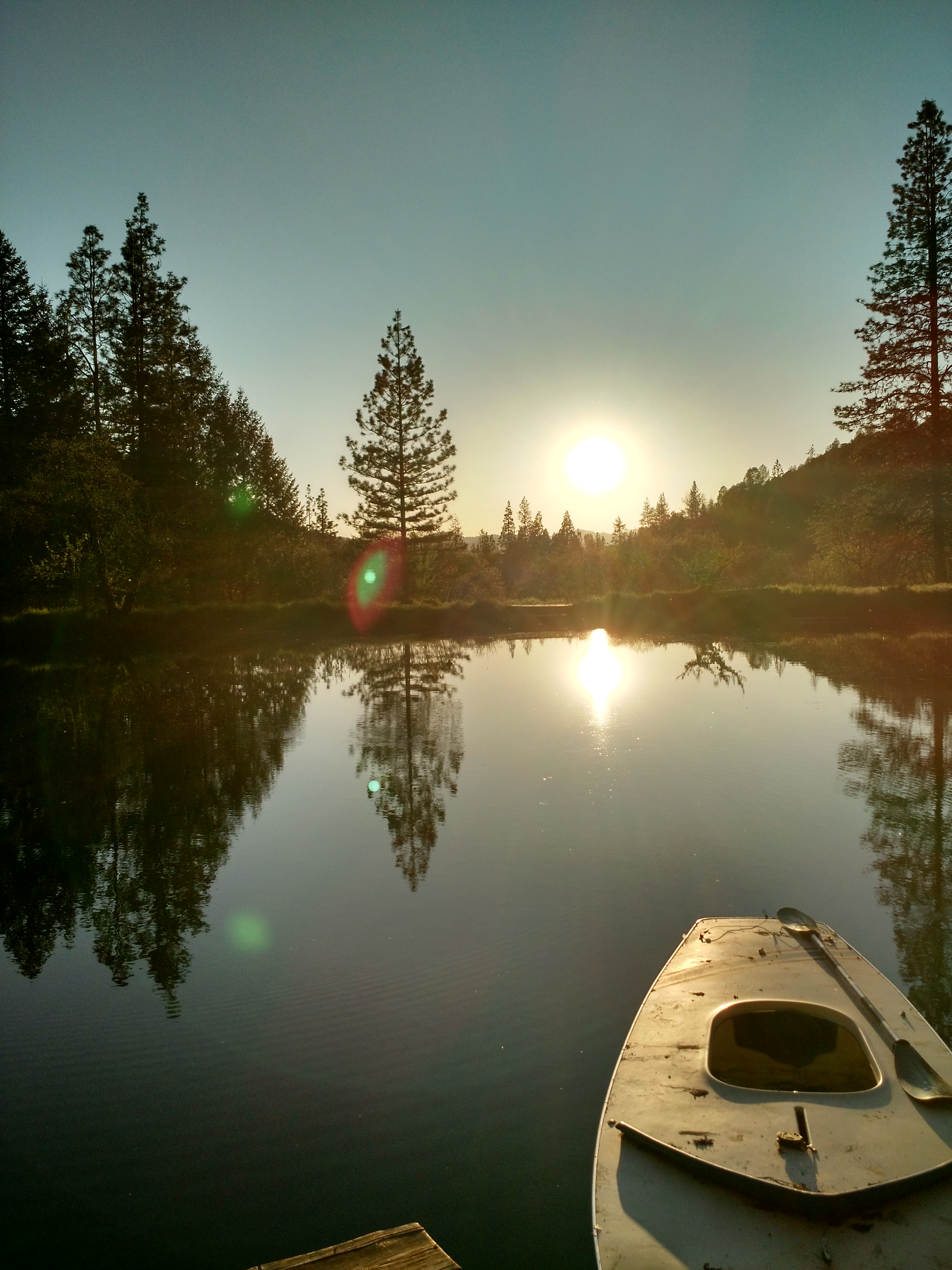
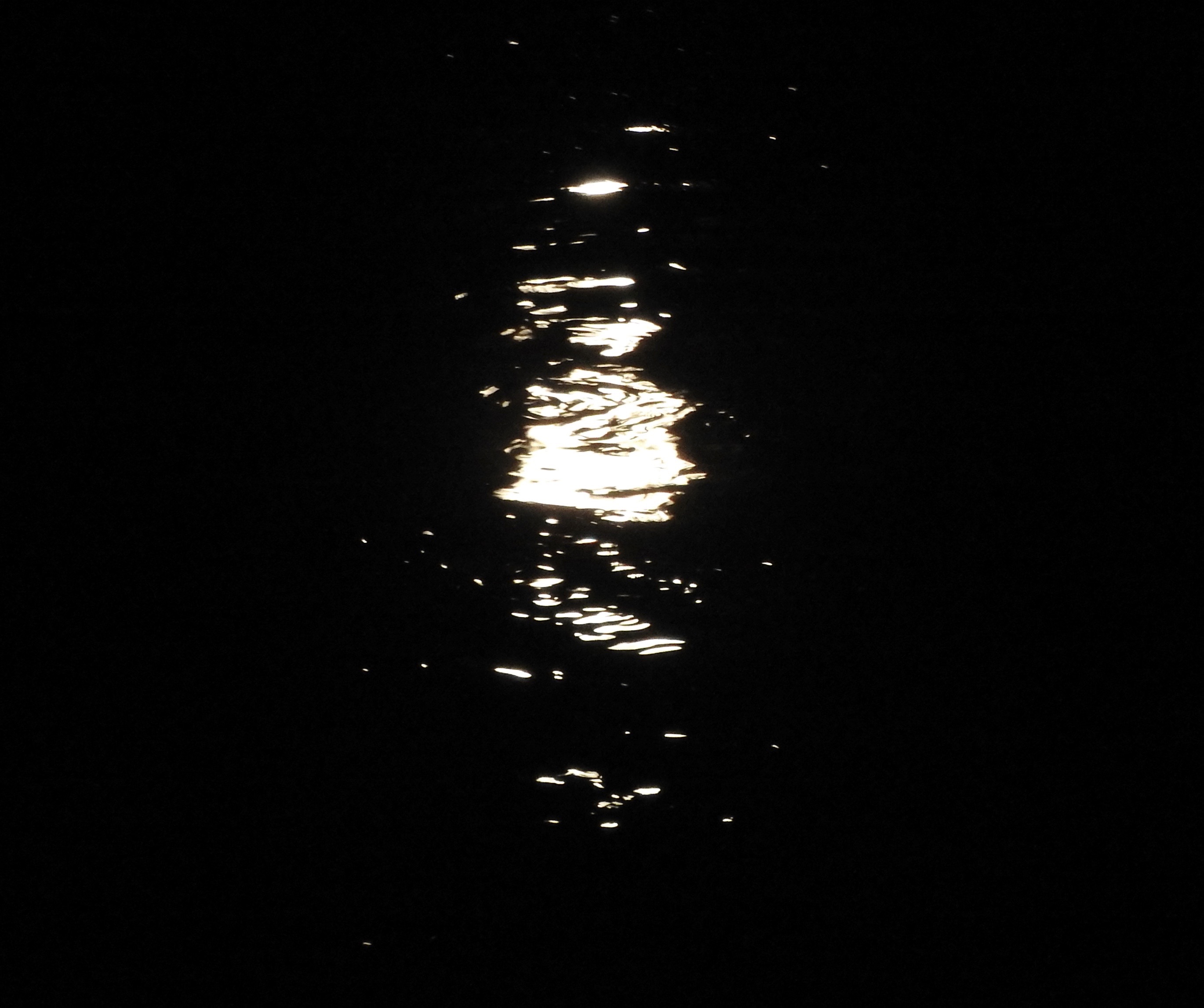
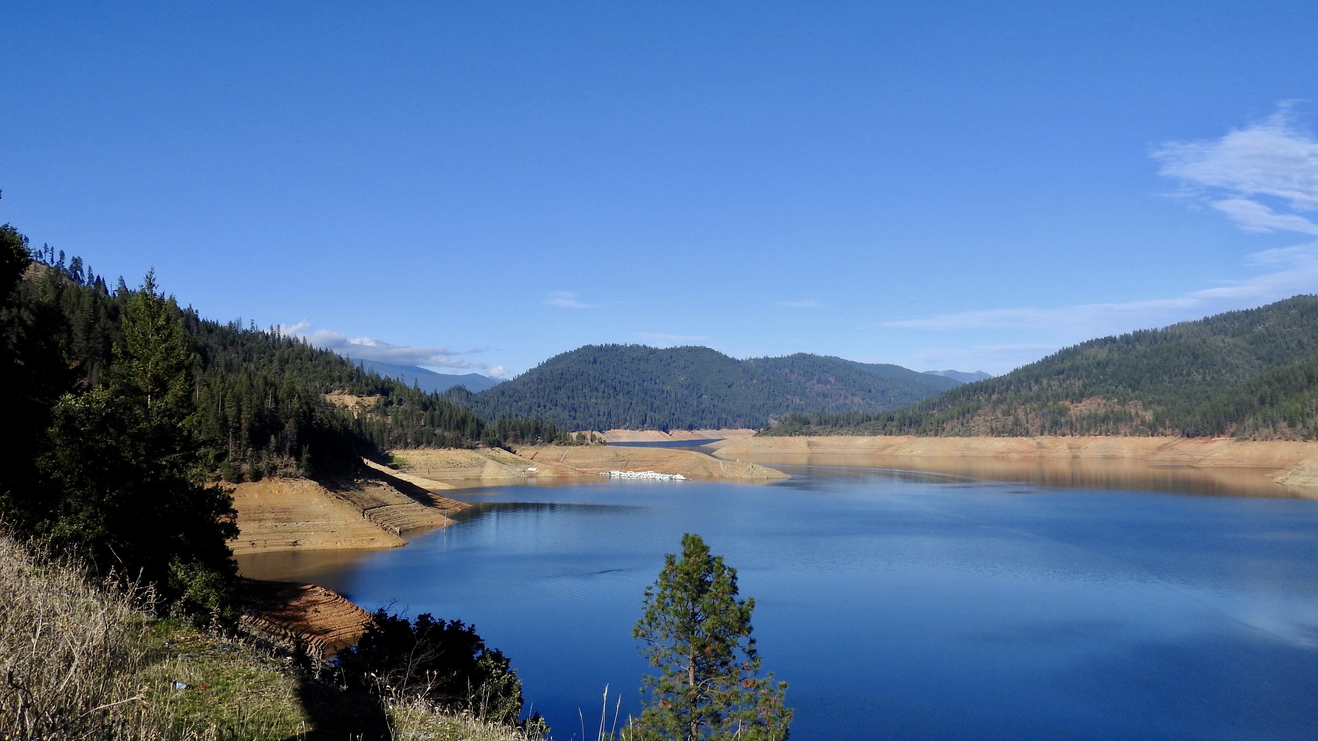
Weekend on the lake
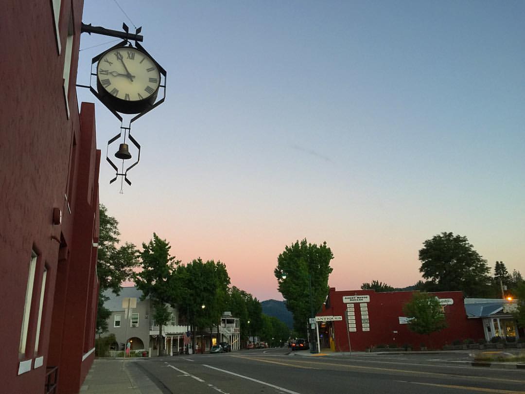
Time to retire... ???? ⏳ ???? #sunset #ontheroad #california #smalltown #usa #gettinglate #timeforbed #gettingold
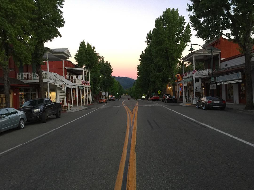
Sunset in Weaverville, CA... #ontheroad #california #smalltown #usa #roadtrip #motorcycletrip #travel #discovertheroad
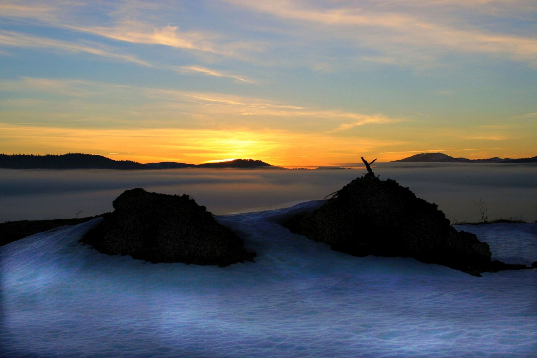
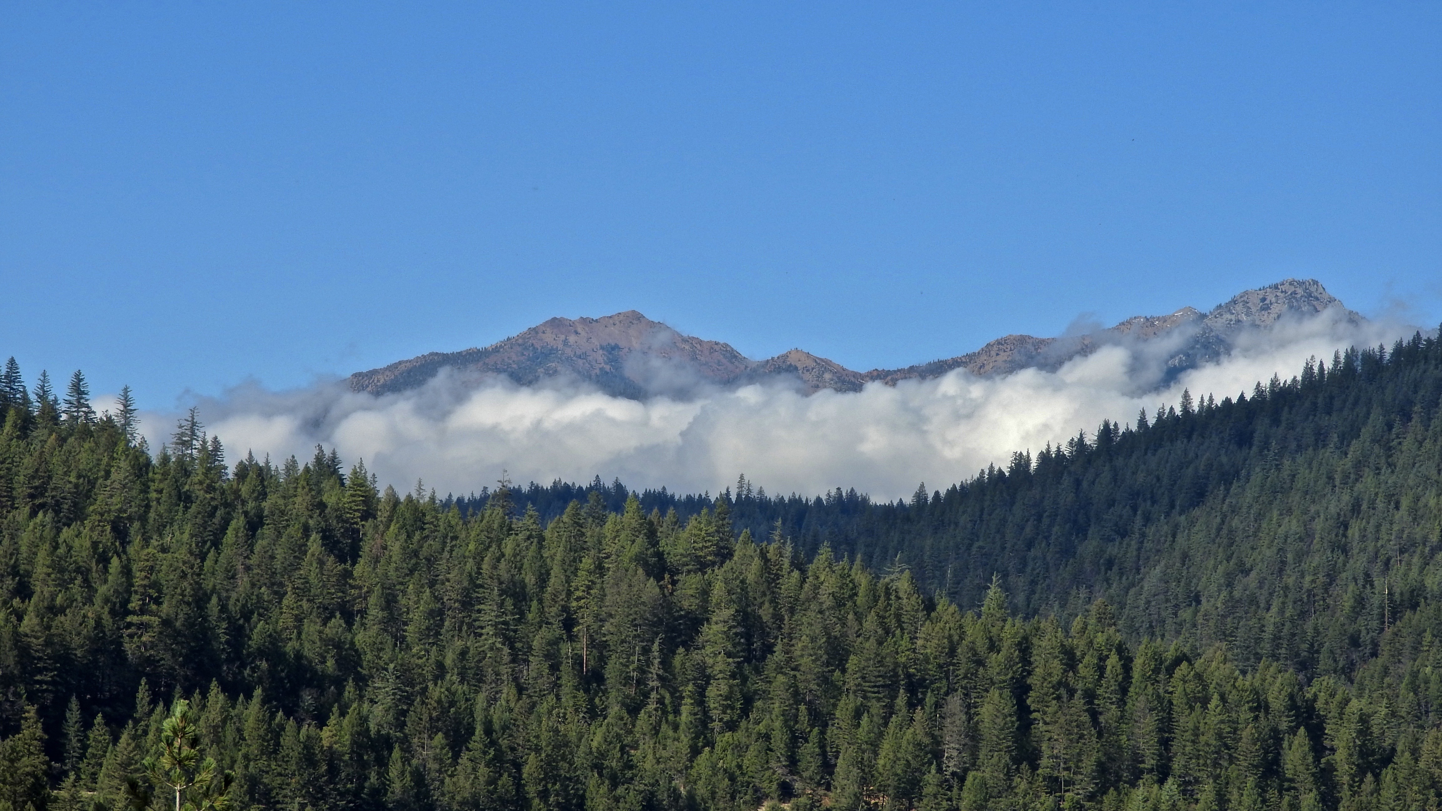
Sunrise -- Oregon Mountain Pass
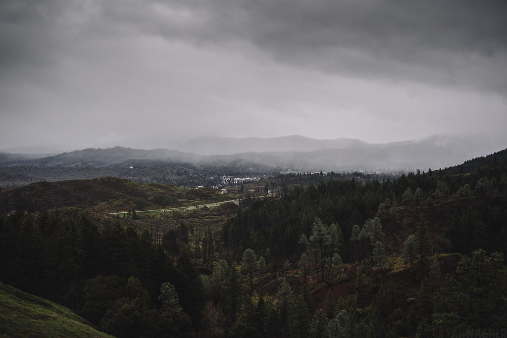
Lewiston, California [03.31.13]
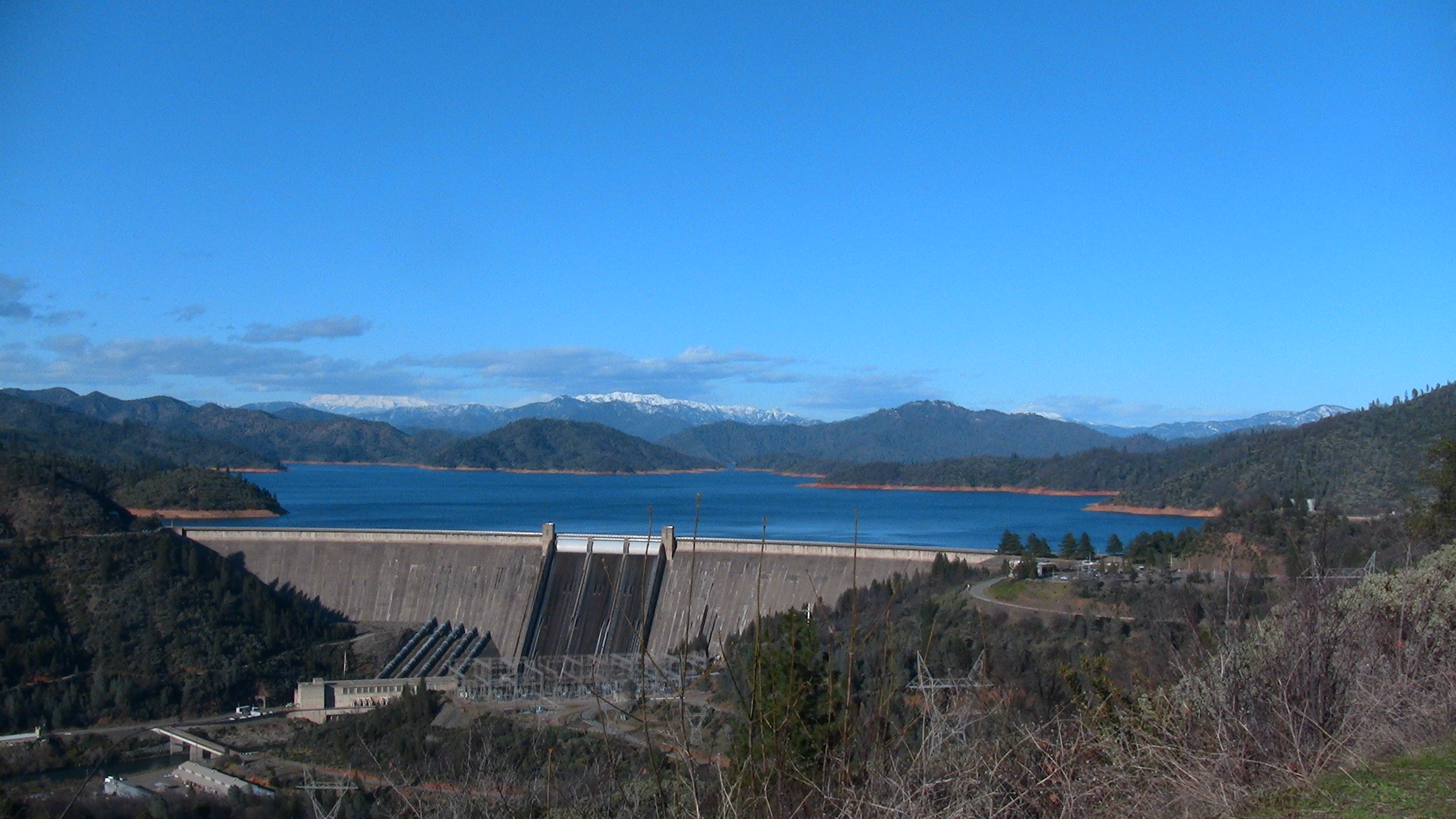
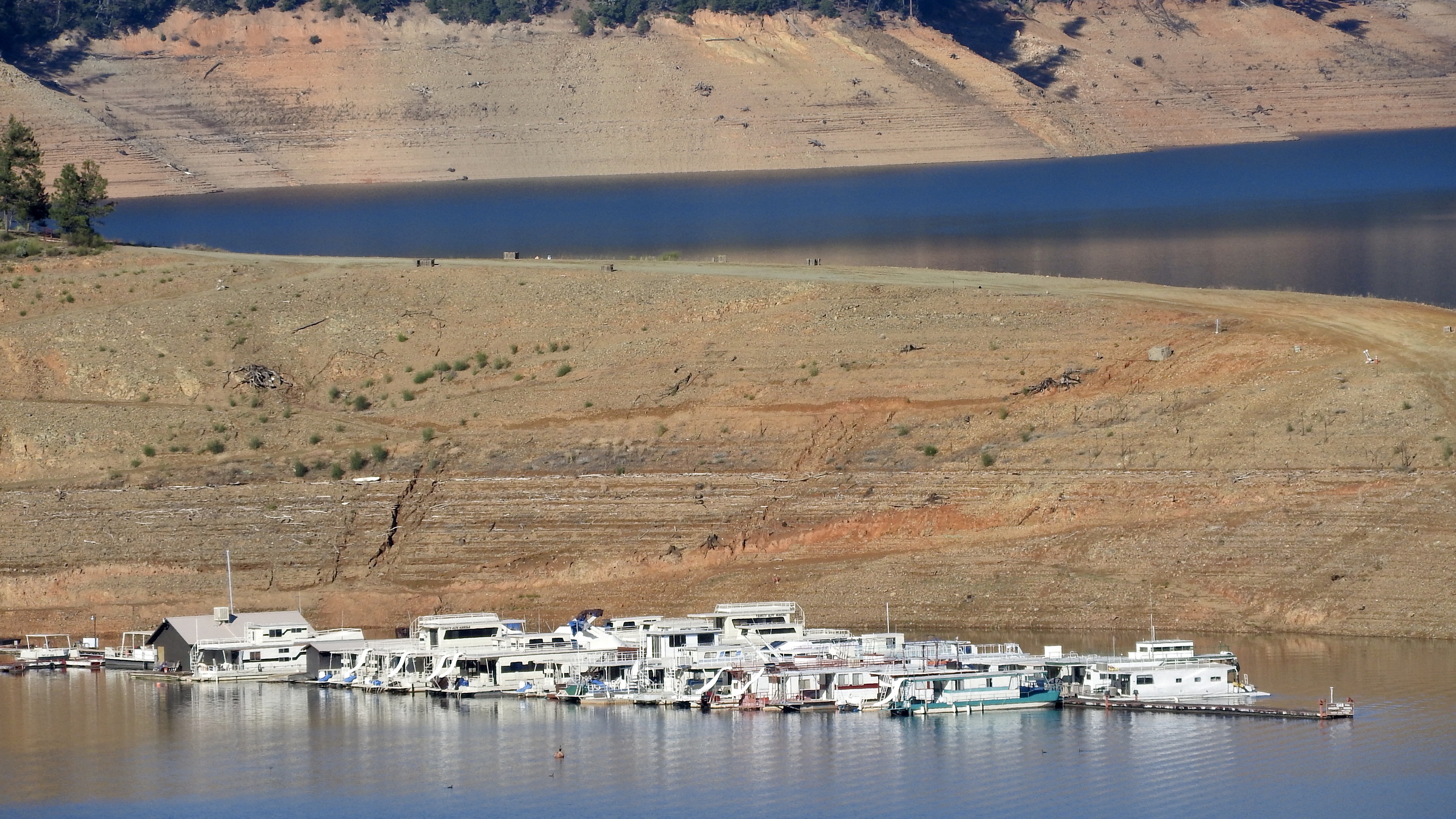
Shasta Dam
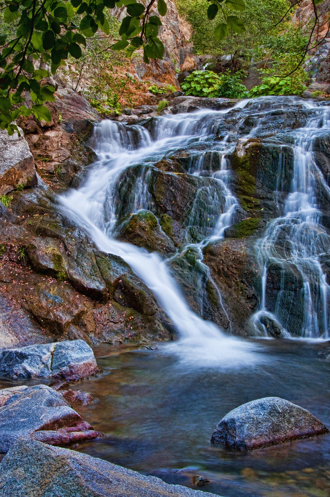
CrystalCreekFalls09-13T
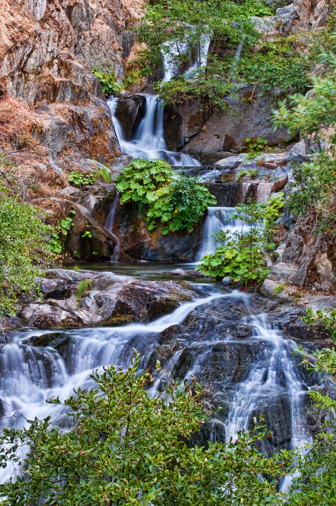
CrystalCreekFalls09-3T
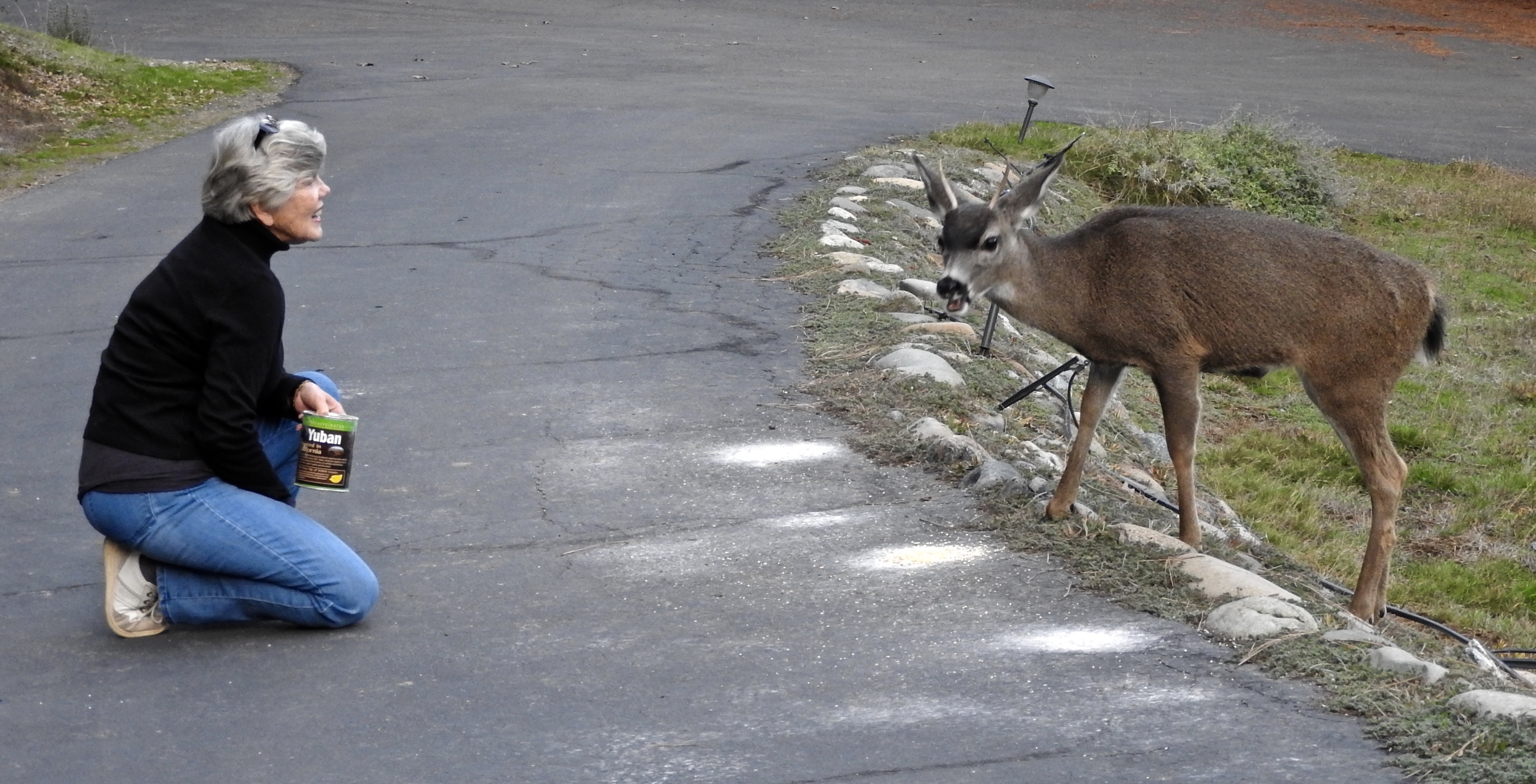
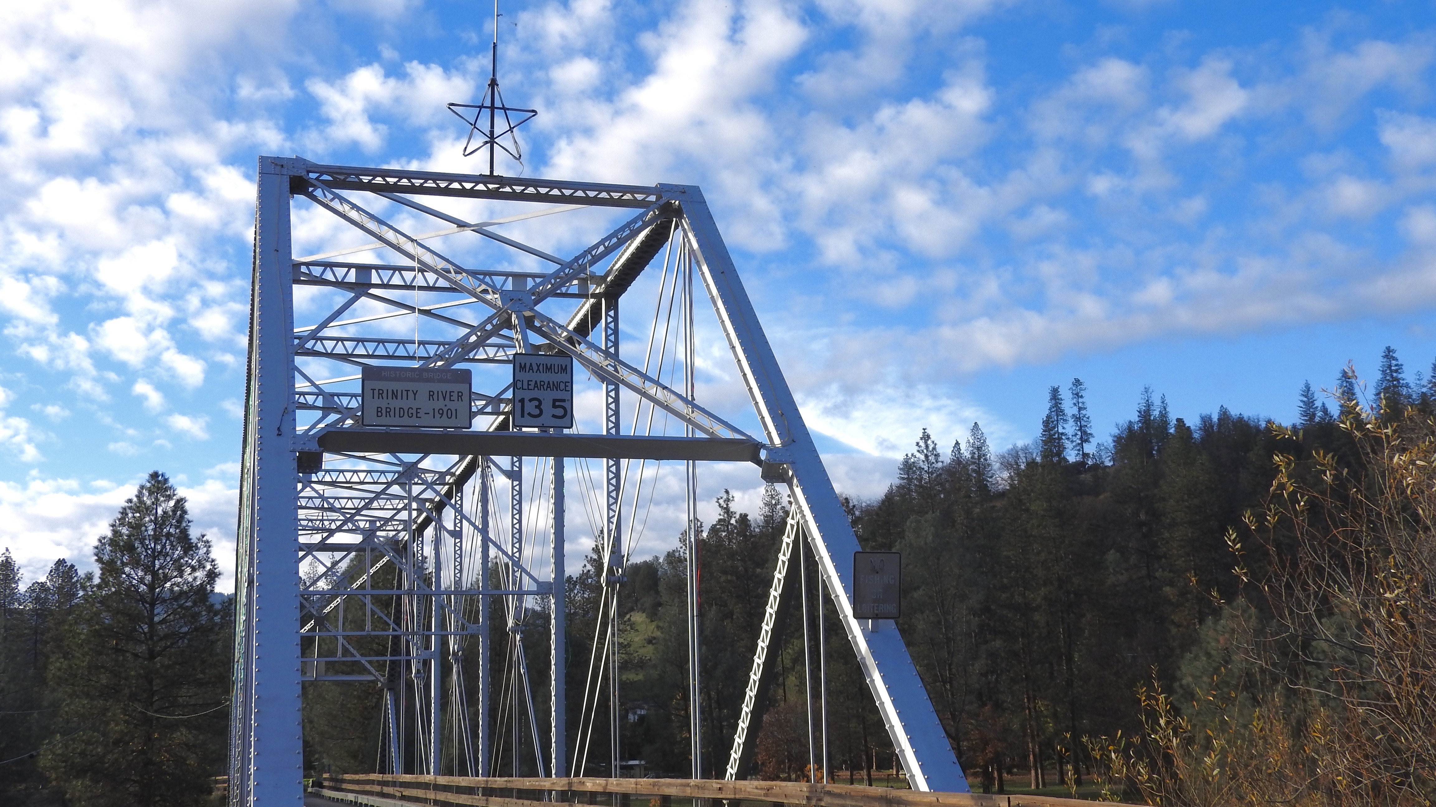
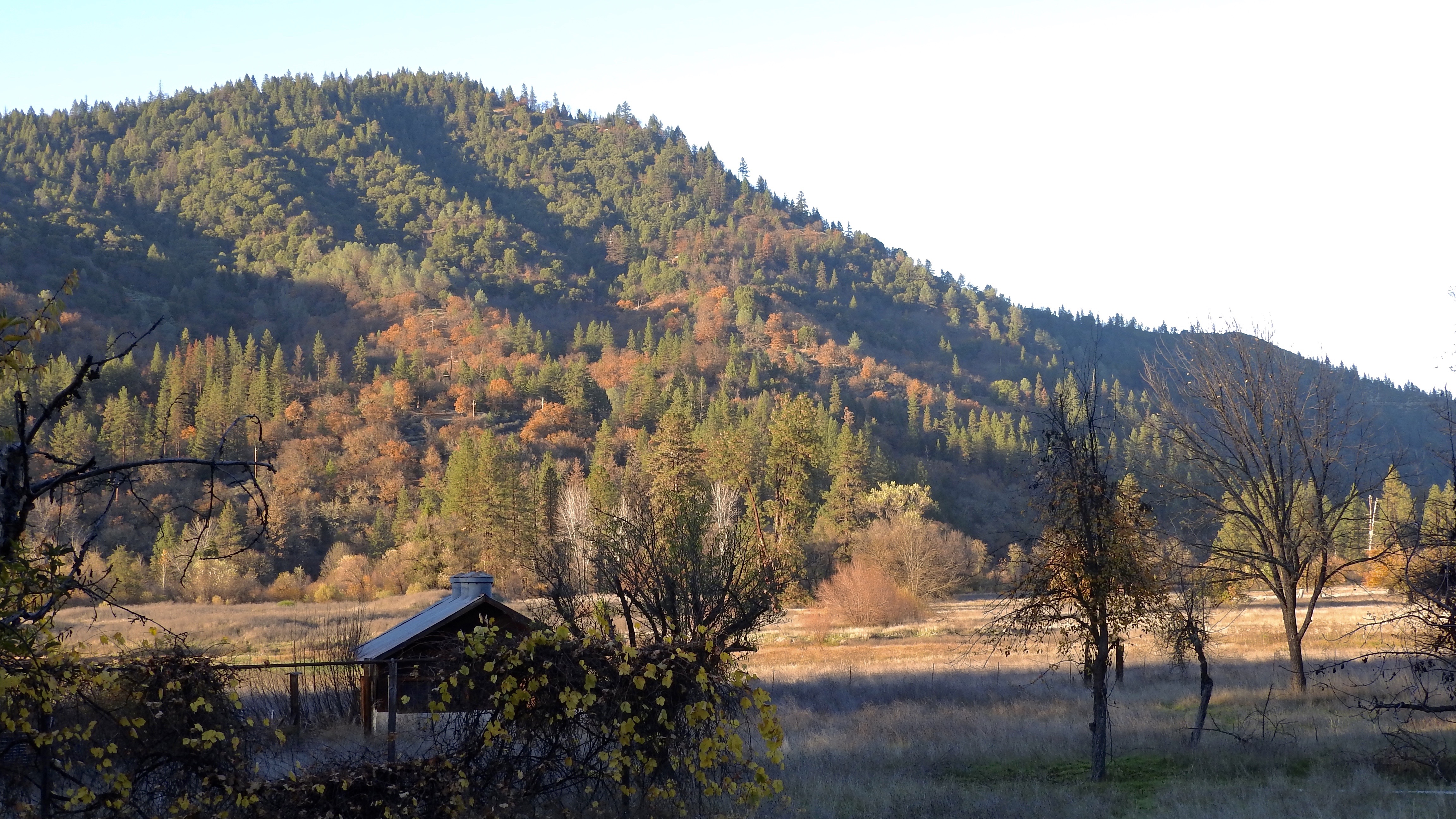
Lewiston - Trinity River Area
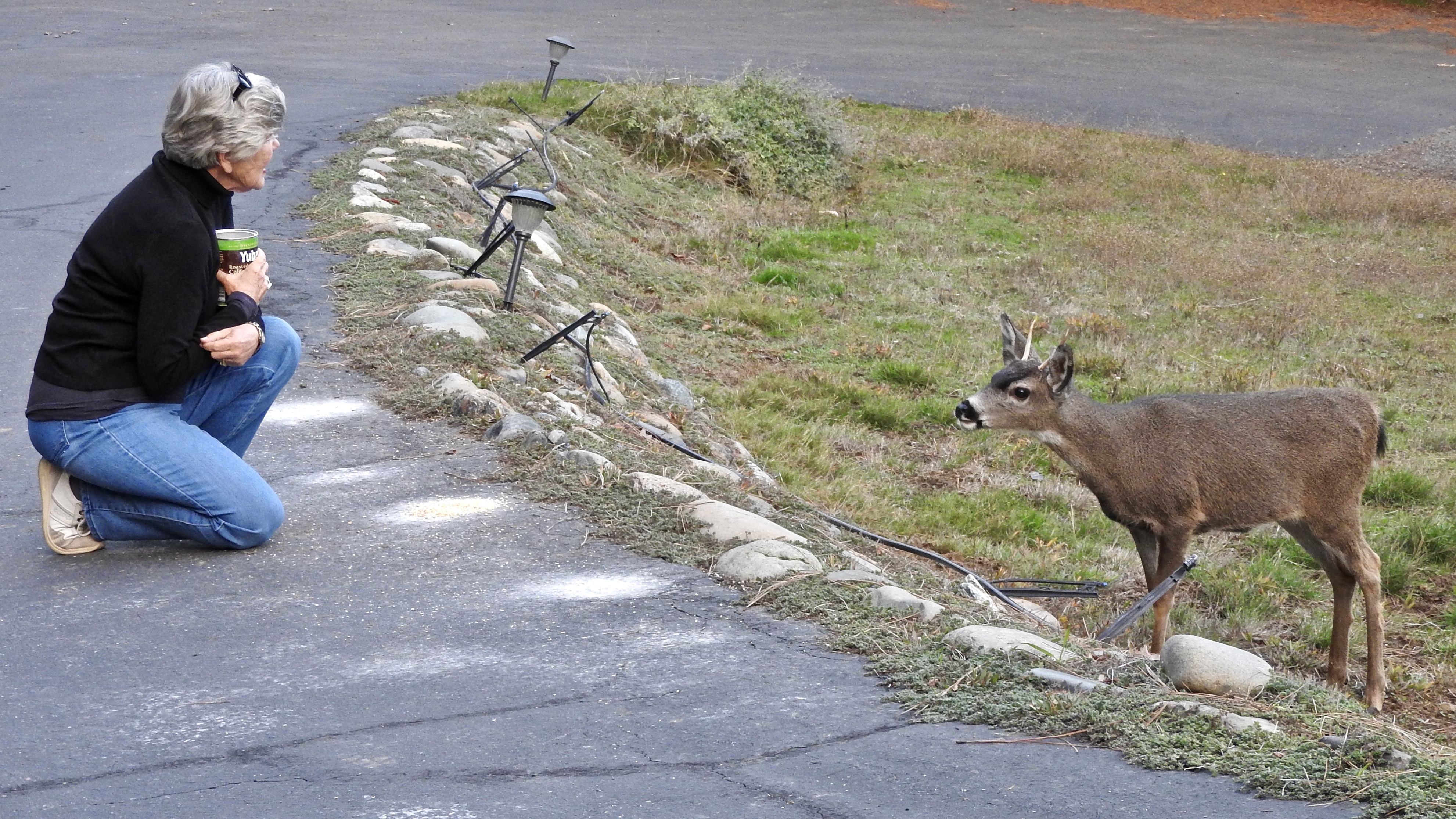
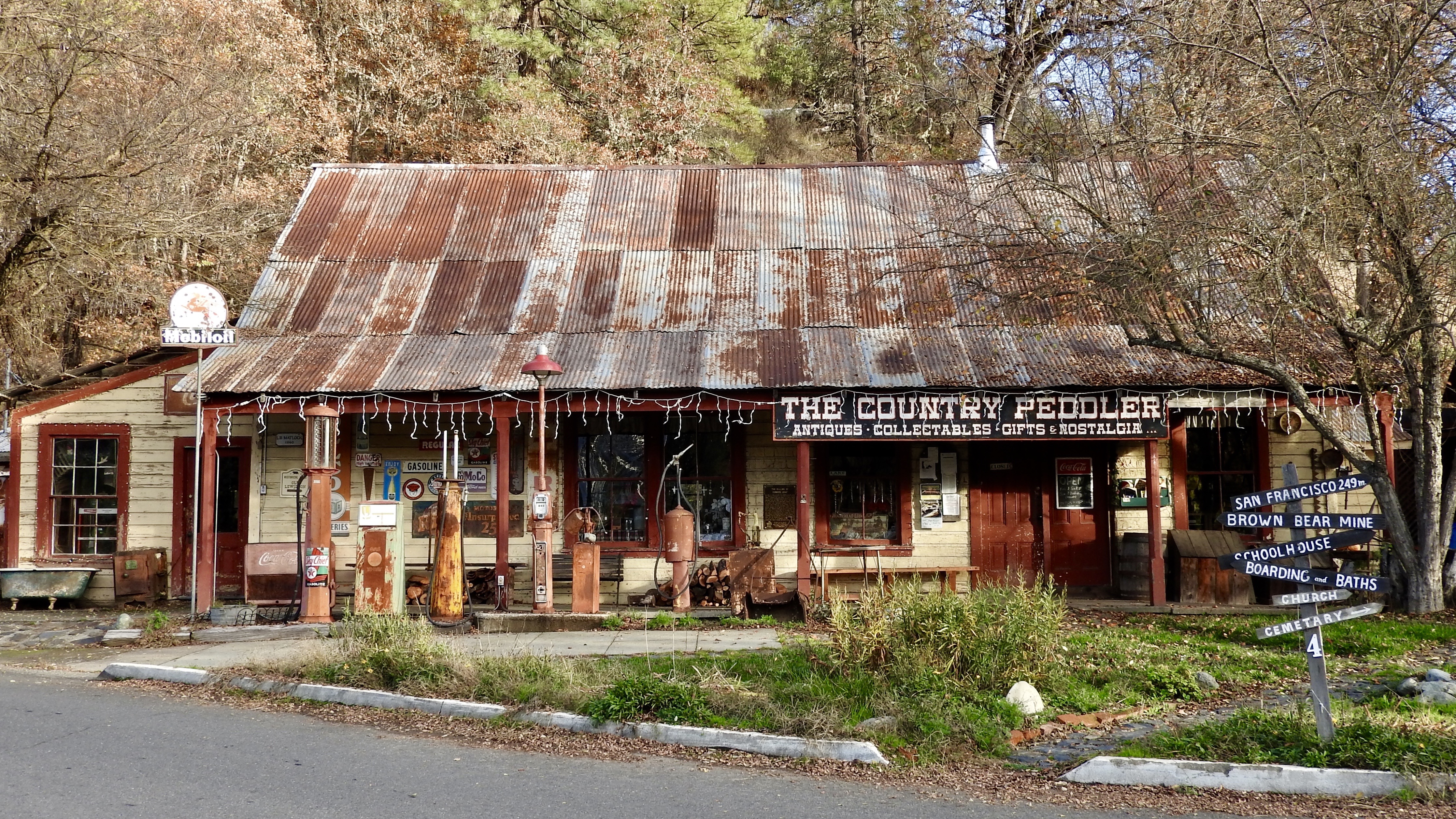
Lewiston - Trinity River Area
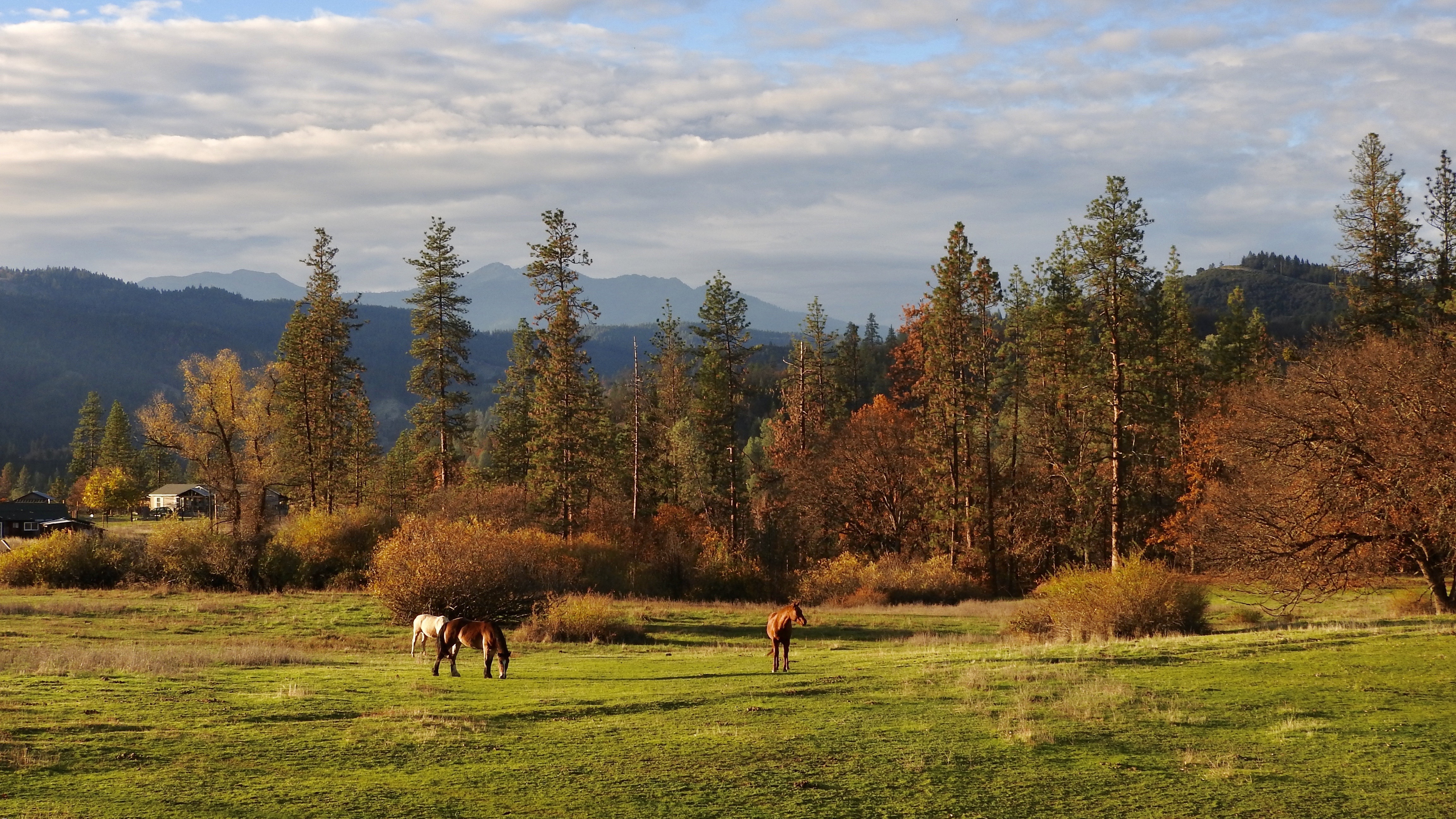
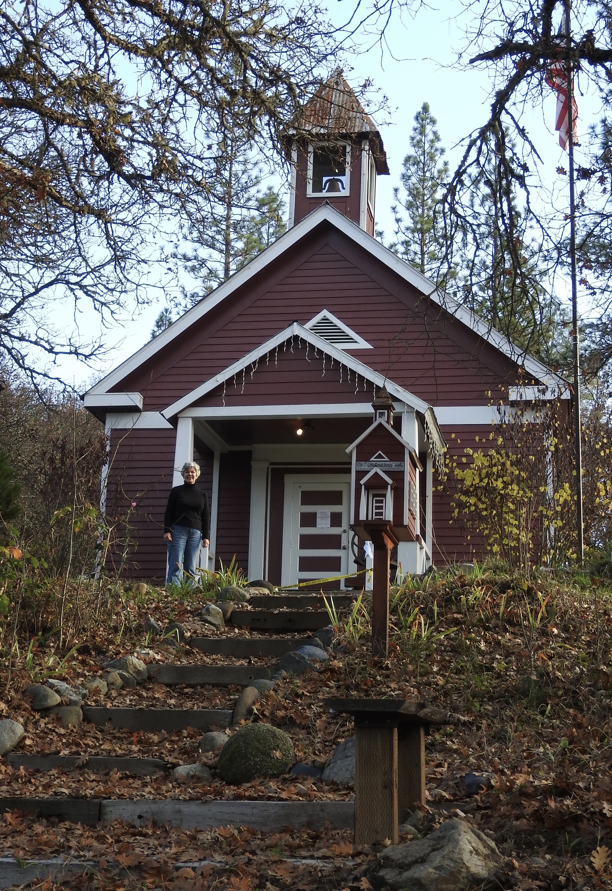
Lewiston - Trinity River Area

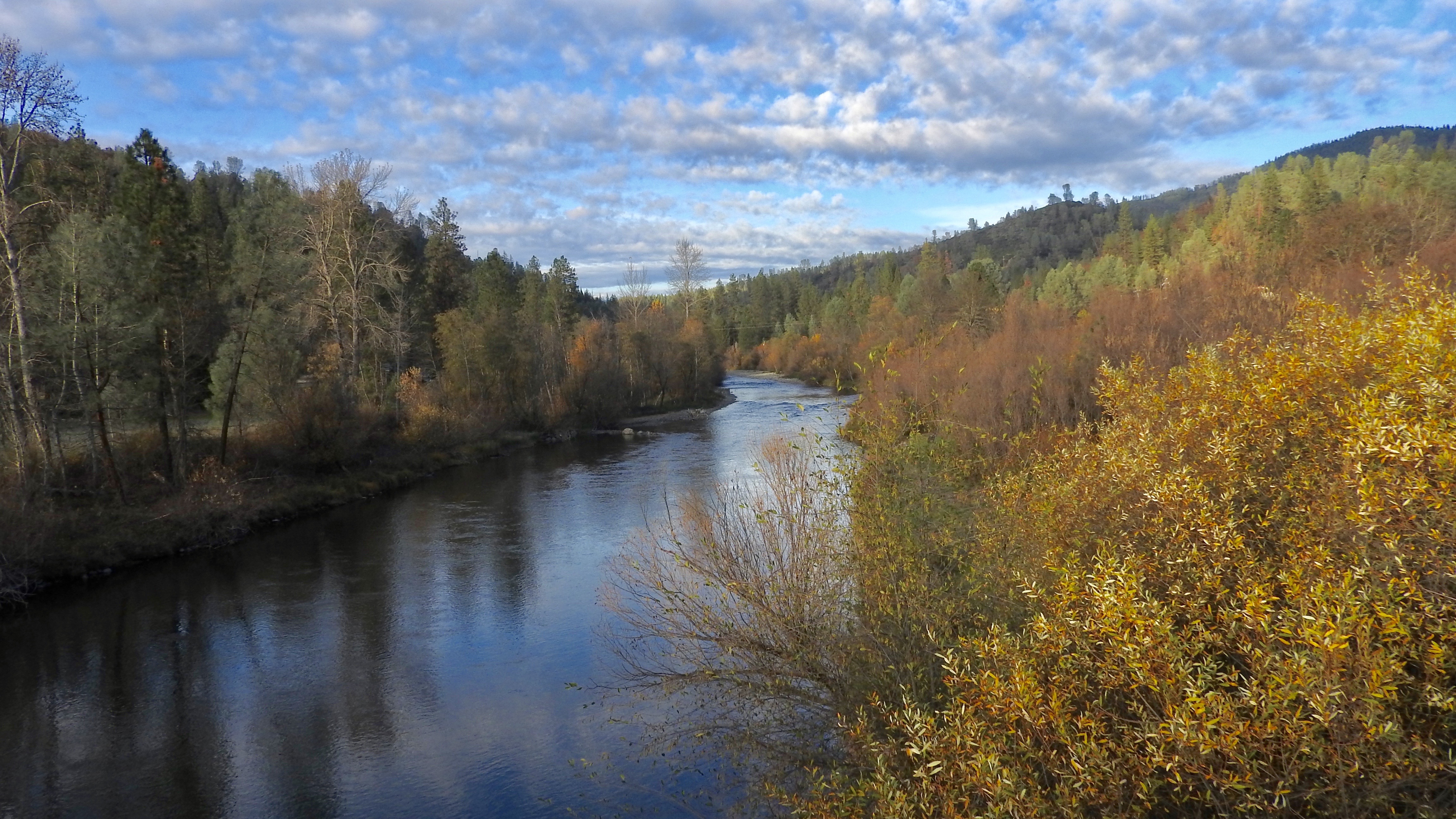
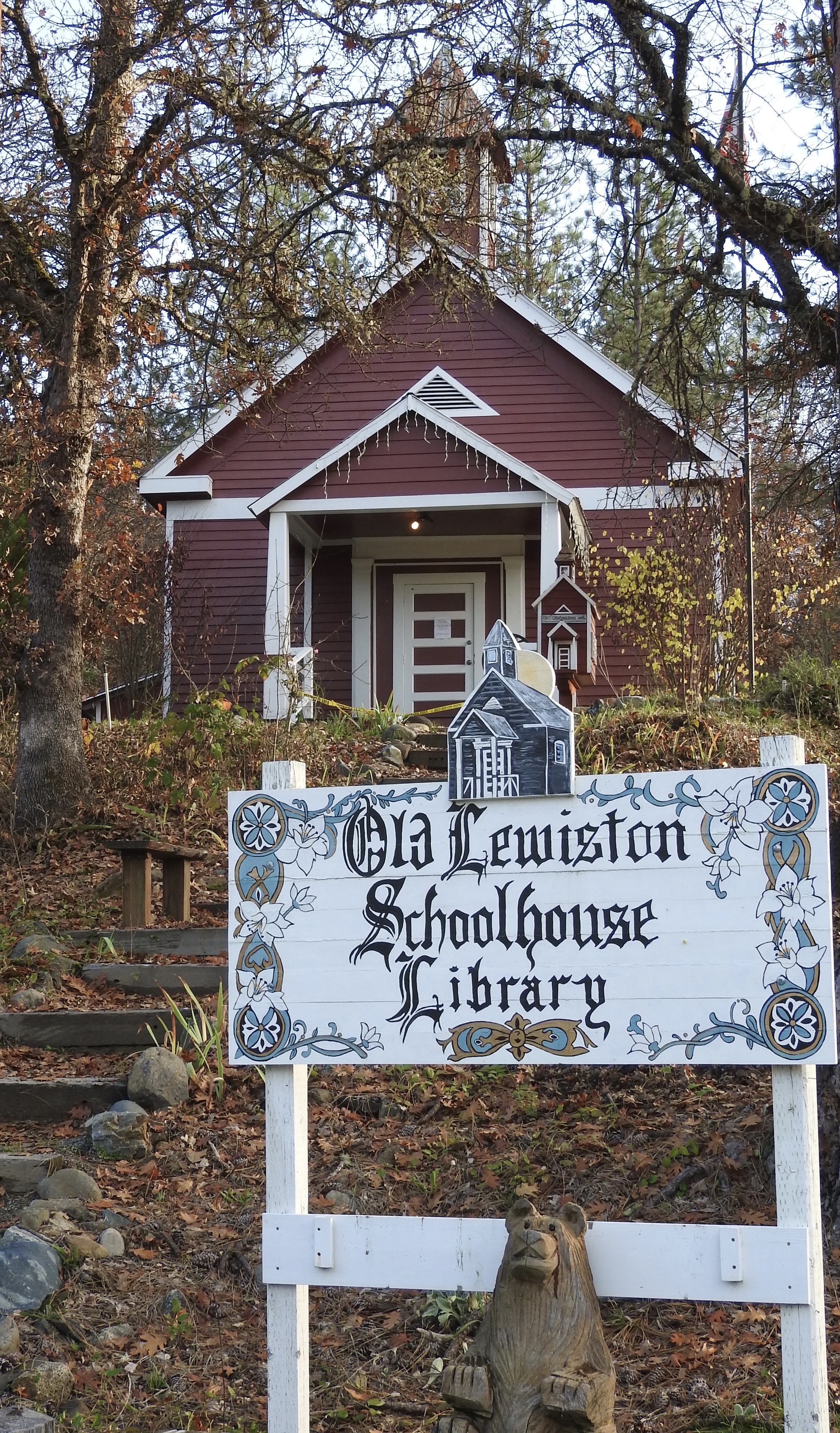
Lewiston - Trinity River Area
Lewiston - Trinity River Area
Lewiston - Trinity River Area
Lewiston - Trinity River Area
Lewiston - Trinity River Area
Lewiston - Trinity River Area
Lewiston - Trinity River Area
Lewiston - Trinity River Area
Lewiston - Trinity River Area
Lewiston - Trinity River Area
Lewiston - Trinity River Area
Lewiston - Trinity River Area
Lewiston - Trinity River Area
Lewiston - Trinity River Area
Lewiston - Trinity River Area
Lewiston - Trinity River Area
Lewiston - Trinity River Area
Lewiston - Trinity River Area
Mapa de Lewiston, California, EE. UU.
Buscar otro lugar
lugares en Lewiston, California, EE. UU.
Lugares cercanos
Rush Creek Rd, Lewiston, CA, EE. UU.
61 Chief George Meadow, Lewiston, CA, EE. UU.
25 Rebel Rd, Lewiston, CA, EE. UU.
11 Salmon Dr, Lewiston, CA, EE. UU.
Lakeview Terrace Resort, RV Park & Campground, Trinity Dam Blvd, Lewiston, CA, EE. UU.
Ponderosa Pines, Lewiston, CA, EE. UU.
Lewiston, California, EE. UU.
Thistle Ln, Douglas City, CA, EE. UU.
Wilson Mountain Rd, Douglas City, CA, EE. UU.
Weaverville, California, EE. UU.
Tucker Hill Rd, Douglas City, CA, EE. UU.
Douglas City, California, EE. UU.
Steiner Flat Rd, Douglas City, CA, EE. UU.
Bully Choop Mountain, California, EE. UU.
Weaver Bally Fire Lookout, Weaver Bally Rd, Weaverville, CA, EE. UU.
French Gulch, California, EE. UU.
Main St, French Gulch, CA, EE. UU.
Junction City, California, EE. UU.
Whiskey Creek Rd, Shasta, CA, EE. UU.
Whiskeytown, CA, EE. UU.
Búsquedas recientes
- Horas de salida y puesta de sol de Red Dog Mine, AK, USA
- Horas de salida y puesta de sol de Am Bahnhof, Am bhf, Borken, Germany
- Horas de salida y puesta de sol de 4th St E, Sonoma, CA, EE. UU.
- Horas de salida y puesta de sol de Oakland Ave, Williamsport, PA, EE. UU.
- Horas de salida y puesta de sol de Via Roma, Pieranica CR, Italia
- Horas de salida y puesta de sol de Torre del reloj, Grad, Dubrovnik (Ragusa), Croacia
- Horas de salida y puesta de sol de Trelew, Chubut, Argentina
- Horas de salida y puesta de sol de Hartfords Bluff Cir, Mt Pleasant, SC, EE. UU.
- Horas de salida y puesta de sol de Kita Ward, Kumamoto, Japón
- Horas de salida y puesta de sol de Pingtan Island, Pingtan County, Fuzhou, China