Horas de salida y puesta de sol de Leota Peak, Montana, EE. UU.
Location: Estados Unidos > Montana > Condado de Powell >
Zona horaria:
America/Denver
Hora local:
2025-06-21 04:48:25
Longitud:
-113.3595135
Latitud:
47.2982717
Salida de sol de hoy:
05:37:09 AM
Puesta de sol de hoy:
09:33:40 PM
La duración del día hoy:
15h 56m 31s
Salida de sol de mañana:
05:37:26 AM
Puesta de sol de mañana:
09:33:50 PM
La duración del día mañana:
15h 56m 24s
Mostrar todas las fechas
| Fecha | Salida de sol | Puesta de sol | Duración del día |
|---|---|---|---|
| 01/01/2025 | 08:20:13 AM | 04:55:03 PM | 8h 34m 50s |
| 02/01/2025 | 08:20:07 AM | 04:56:03 PM | 8h 35m 56s |
| 03/01/2025 | 08:19:59 AM | 04:57:06 PM | 8h 37m 7s |
| 04/01/2025 | 08:19:48 AM | 04:58:11 PM | 8h 38m 23s |
| 05/01/2025 | 08:19:33 AM | 04:59:18 PM | 8h 39m 45s |
| 06/01/2025 | 08:19:17 AM | 05:00:26 PM | 8h 41m 9s |
| 07/01/2025 | 08:18:57 AM | 05:01:37 PM | 8h 42m 40s |
| 08/01/2025 | 08:18:34 AM | 05:02:49 PM | 8h 44m 15s |
| 09/01/2025 | 08:18:09 AM | 05:04:02 PM | 8h 45m 53s |
| 10/01/2025 | 08:17:41 AM | 05:05:18 PM | 8h 47m 37s |
| 11/01/2025 | 08:17:11 AM | 05:06:34 PM | 8h 49m 23s |
| 12/01/2025 | 08:16:37 AM | 05:07:52 PM | 8h 51m 15s |
| 13/01/2025 | 08:16:01 AM | 05:09:12 PM | 8h 53m 11s |
| 14/01/2025 | 08:15:23 AM | 05:10:33 PM | 8h 55m 10s |
| 15/01/2025 | 08:14:42 AM | 05:11:55 PM | 8h 57m 13s |
| 16/01/2025 | 08:13:58 AM | 05:13:18 PM | 8h 59m 20s |
| 17/01/2025 | 08:13:12 AM | 05:14:42 PM | 9h 1m 30s |
| 18/01/2025 | 08:12:23 AM | 05:16:07 PM | 9h 3m 44s |
| 19/01/2025 | 08:11:32 AM | 05:17:33 PM | 9h 6m 1s |
| 20/01/2025 | 08:10:39 AM | 05:19:00 PM | 9h 8m 21s |
| 21/01/2025 | 08:09:43 AM | 05:20:28 PM | 9h 10m 45s |
| 22/01/2025 | 08:08:45 AM | 05:21:56 PM | 9h 13m 11s |
| 23/01/2025 | 08:07:45 AM | 05:23:26 PM | 9h 15m 41s |
| 24/01/2025 | 08:06:42 AM | 05:24:56 PM | 9h 18m 14s |
| 25/01/2025 | 08:05:37 AM | 05:26:26 PM | 9h 20m 49s |
| 26/01/2025 | 08:04:30 AM | 05:27:57 PM | 9h 23m 27s |
| 27/01/2025 | 08:03:21 AM | 05:29:28 PM | 9h 26m 7s |
| 28/01/2025 | 08:02:10 AM | 05:31:00 PM | 9h 28m 50s |
| 29/01/2025 | 08:00:58 AM | 05:32:33 PM | 9h 31m 35s |
| 30/01/2025 | 07:59:43 AM | 05:34:05 PM | 9h 34m 22s |
| 31/01/2025 | 07:58:26 AM | 05:35:38 PM | 9h 37m 12s |
| 01/02/2025 | 07:57:07 AM | 05:37:11 PM | 9h 40m 4s |
| 02/02/2025 | 07:55:47 AM | 05:38:44 PM | 9h 42m 57s |
| 03/02/2025 | 07:54:24 AM | 05:40:18 PM | 9h 45m 54s |
| 04/02/2025 | 07:53:00 AM | 05:41:51 PM | 9h 48m 51s |
| 05/02/2025 | 07:51:35 AM | 05:43:25 PM | 9h 51m 50s |
| 06/02/2025 | 07:50:07 AM | 05:44:58 PM | 9h 54m 51s |
| 07/02/2025 | 07:48:38 AM | 05:46:32 PM | 9h 57m 54s |
| 08/02/2025 | 07:47:08 AM | 05:48:05 PM | 10h 0m 57s |
| 09/02/2025 | 07:45:36 AM | 05:49:39 PM | 10h 4m 3s |
| 10/02/2025 | 07:44:03 AM | 05:51:12 PM | 10h 7m 9s |
| 11/02/2025 | 07:42:28 AM | 05:52:46 PM | 10h 10m 18s |
| 12/02/2025 | 07:40:52 AM | 05:54:19 PM | 10h 13m 27s |
| 13/02/2025 | 07:39:14 AM | 05:55:52 PM | 10h 16m 38s |
| 14/02/2025 | 07:37:35 AM | 05:57:25 PM | 10h 19m 50s |
| 15/02/2025 | 07:35:55 AM | 05:58:58 PM | 10h 23m 3s |
| 16/02/2025 | 07:34:14 AM | 06:00:30 PM | 10h 26m 16s |
| 17/02/2025 | 07:32:32 AM | 06:02:03 PM | 10h 29m 31s |
| 18/02/2025 | 07:30:48 AM | 06:03:35 PM | 10h 32m 47s |
| 19/02/2025 | 07:29:03 AM | 06:05:06 PM | 10h 36m 3s |
| 20/02/2025 | 07:27:18 AM | 06:06:38 PM | 10h 39m 20s |
| 21/02/2025 | 07:25:31 AM | 06:08:09 PM | 10h 42m 38s |
| 22/02/2025 | 07:23:43 AM | 06:09:41 PM | 10h 45m 58s |
| 23/02/2025 | 07:21:55 AM | 06:11:11 PM | 10h 49m 16s |
| 24/02/2025 | 07:20:05 AM | 06:12:42 PM | 10h 52m 37s |
| 25/02/2025 | 07:18:15 AM | 06:14:12 PM | 10h 55m 57s |
| 26/02/2025 | 07:16:24 AM | 06:15:42 PM | 10h 59m 18s |
| 27/02/2025 | 07:14:32 AM | 06:17:12 PM | 11h 2m 40s |
| 28/02/2025 | 07:12:39 AM | 06:18:41 PM | 11h 6m 2s |
| 01/03/2025 | 07:10:45 AM | 06:20:10 PM | 11h 9m 25s |
| 02/03/2025 | 07:08:51 AM | 06:21:39 PM | 11h 12m 48s |
| 03/03/2025 | 07:06:57 AM | 06:23:08 PM | 11h 16m 11s |
| 04/03/2025 | 07:05:01 AM | 06:24:36 PM | 11h 19m 35s |
| 05/03/2025 | 07:03:05 AM | 06:26:04 PM | 11h 22m 59s |
| 06/03/2025 | 07:01:09 AM | 06:27:32 PM | 11h 26m 23s |
| 07/03/2025 | 06:59:12 AM | 06:29:00 PM | 11h 29m 48s |
| 08/03/2025 | 06:57:15 AM | 06:30:27 PM | 11h 33m 12s |
| 09/03/2025 | 07:55:22 AM | 07:31:51 PM | 11h 36m 29s |
| 10/03/2025 | 07:53:23 AM | 07:33:17 PM | 11h 39m 54s |
| 11/03/2025 | 07:51:25 AM | 07:34:44 PM | 11h 43m 19s |
| 12/03/2025 | 07:49:26 AM | 07:36:10 PM | 11h 46m 44s |
| 13/03/2025 | 07:47:26 AM | 07:37:37 PM | 11h 50m 11s |
| 14/03/2025 | 07:45:27 AM | 07:39:02 PM | 11h 53m 35s |
| 15/03/2025 | 07:43:27 AM | 07:40:28 PM | 11h 57m 1s |
| 16/03/2025 | 07:41:27 AM | 07:41:54 PM | 12h 0m 27s |
| 17/03/2025 | 07:39:27 AM | 07:43:19 PM | 12h 3m 52s |
| 18/03/2025 | 07:37:26 AM | 07:44:44 PM | 12h 7m 18s |
| 19/03/2025 | 07:35:26 AM | 07:46:10 PM | 12h 10m 44s |
| 20/03/2025 | 07:33:25 AM | 07:47:34 PM | 12h 14m 9s |
| 21/03/2025 | 07:31:25 AM | 07:48:59 PM | 12h 17m 34s |
| 22/03/2025 | 07:29:24 AM | 07:50:24 PM | 12h 21m 0s |
| 23/03/2025 | 07:27:23 AM | 07:51:49 PM | 12h 24m 26s |
| 24/03/2025 | 07:25:23 AM | 07:53:13 PM | 12h 27m 50s |
| 25/03/2025 | 07:23:22 AM | 07:54:37 PM | 12h 31m 15s |
| 26/03/2025 | 07:21:22 AM | 07:56:02 PM | 12h 34m 40s |
| 27/03/2025 | 07:19:21 AM | 07:57:26 PM | 12h 38m 5s |
| 28/03/2025 | 07:17:21 AM | 07:58:50 PM | 12h 41m 29s |
| 29/03/2025 | 07:15:21 AM | 08:00:14 PM | 12h 44m 53s |
| 30/03/2025 | 07:13:21 AM | 08:01:38 PM | 12h 48m 17s |
| 31/03/2025 | 07:11:22 AM | 08:03:02 PM | 12h 51m 40s |
| 01/04/2025 | 07:09:23 AM | 08:04:26 PM | 12h 55m 3s |
| 02/04/2025 | 07:07:24 AM | 08:05:49 PM | 12h 58m 25s |
| 03/04/2025 | 07:05:25 AM | 08:07:13 PM | 13h 1m 48s |
| 04/04/2025 | 07:03:27 AM | 08:08:37 PM | 13h 5m 10s |
| 05/04/2025 | 07:01:29 AM | 08:10:01 PM | 13h 8m 32s |
| 06/04/2025 | 06:59:32 AM | 08:11:25 PM | 13h 11m 53s |
| 07/04/2025 | 06:57:35 AM | 08:12:48 PM | 13h 15m 13s |
| 08/04/2025 | 06:55:38 AM | 08:14:12 PM | 13h 18m 34s |
| 09/04/2025 | 06:53:43 AM | 08:15:36 PM | 13h 21m 53s |
| 10/04/2025 | 06:51:47 AM | 08:16:59 PM | 13h 25m 12s |
| 11/04/2025 | 06:49:53 AM | 08:18:23 PM | 13h 28m 30s |
| 12/04/2025 | 06:47:59 AM | 08:19:47 PM | 13h 31m 48s |
| 13/04/2025 | 06:46:05 AM | 08:21:11 PM | 13h 35m 6s |
| 14/04/2025 | 06:44:13 AM | 08:22:34 PM | 13h 38m 21s |
| 15/04/2025 | 06:42:21 AM | 08:23:58 PM | 13h 41m 37s |
| 16/04/2025 | 06:40:30 AM | 08:25:21 PM | 13h 44m 51s |
| 17/04/2025 | 06:38:39 AM | 08:26:45 PM | 13h 48m 6s |
| 18/04/2025 | 06:36:50 AM | 08:28:09 PM | 13h 51m 19s |
| 19/04/2025 | 06:35:01 AM | 08:29:32 PM | 13h 54m 31s |
| 20/04/2025 | 06:33:14 AM | 08:30:55 PM | 13h 57m 41s |
| 21/04/2025 | 06:31:27 AM | 08:32:19 PM | 14h 0m 52s |
| 22/04/2025 | 06:29:41 AM | 08:33:42 PM | 14h 4m 1s |
| 23/04/2025 | 06:27:57 AM | 08:35:05 PM | 14h 7m 8s |
| 24/04/2025 | 06:26:13 AM | 08:36:29 PM | 14h 10m 16s |
| 25/04/2025 | 06:24:31 AM | 08:37:51 PM | 14h 13m 20s |
| 26/04/2025 | 06:22:49 AM | 08:39:14 PM | 14h 16m 25s |
| 27/04/2025 | 06:21:09 AM | 08:40:37 PM | 14h 19m 28s |
| 28/04/2025 | 06:19:30 AM | 08:42:00 PM | 14h 22m 30s |
| 29/04/2025 | 06:17:52 AM | 08:43:22 PM | 14h 25m 30s |
| 30/04/2025 | 06:16:16 AM | 08:44:44 PM | 14h 28m 28s |
| 01/05/2025 | 06:14:41 AM | 08:46:06 PM | 14h 31m 25s |
| 02/05/2025 | 06:13:07 AM | 08:47:27 PM | 14h 34m 20s |
| 03/05/2025 | 06:11:35 AM | 08:48:48 PM | 14h 37m 13s |
| 04/05/2025 | 06:10:04 AM | 08:50:09 PM | 14h 40m 5s |
| 05/05/2025 | 06:08:34 AM | 08:51:30 PM | 14h 42m 56s |
| 06/05/2025 | 06:07:07 AM | 08:52:50 PM | 14h 45m 43s |
| 07/05/2025 | 06:05:40 AM | 08:54:10 PM | 14h 48m 30s |
| 08/05/2025 | 06:04:16 AM | 08:55:29 PM | 14h 51m 13s |
| 09/05/2025 | 06:02:53 AM | 08:56:48 PM | 14h 53m 55s |
| 10/05/2025 | 06:01:31 AM | 08:58:06 PM | 14h 56m 35s |
| 11/05/2025 | 06:00:12 AM | 08:59:24 PM | 14h 59m 12s |
| 12/05/2025 | 05:58:54 AM | 09:00:41 PM | 15h 1m 47s |
| 13/05/2025 | 05:57:38 AM | 09:01:57 PM | 15h 4m 19s |
| 14/05/2025 | 05:56:24 AM | 09:03:12 PM | 15h 6m 48s |
| 15/05/2025 | 05:55:11 AM | 09:04:27 PM | 15h 9m 16s |
| 16/05/2025 | 05:54:01 AM | 09:05:41 PM | 15h 11m 40s |
| 17/05/2025 | 05:52:53 AM | 09:06:54 PM | 15h 14m 1s |
| 18/05/2025 | 05:51:46 AM | 09:08:07 PM | 15h 16m 21s |
| 19/05/2025 | 05:50:42 AM | 09:09:18 PM | 15h 18m 36s |
| 20/05/2025 | 05:49:40 AM | 09:10:28 PM | 15h 20m 48s |
| 21/05/2025 | 05:48:39 AM | 09:11:38 PM | 15h 22m 59s |
| 22/05/2025 | 05:47:41 AM | 09:12:46 PM | 15h 25m 5s |
| 23/05/2025 | 05:46:46 AM | 09:13:53 PM | 15h 27m 7s |
| 24/05/2025 | 05:45:52 AM | 09:14:58 PM | 15h 29m 6s |
| 25/05/2025 | 05:45:01 AM | 09:16:03 PM | 15h 31m 2s |
| 26/05/2025 | 05:44:12 AM | 09:17:06 PM | 15h 32m 54s |
| 27/05/2025 | 05:43:25 AM | 09:18:08 PM | 15h 34m 43s |
| 28/05/2025 | 05:42:40 AM | 09:19:08 PM | 15h 36m 28s |
| 29/05/2025 | 05:41:58 AM | 09:20:07 PM | 15h 38m 9s |
| 30/05/2025 | 05:41:19 AM | 09:21:04 PM | 15h 39m 45s |
| 31/05/2025 | 05:40:41 AM | 09:22:00 PM | 15h 41m 19s |
| 01/06/2025 | 05:40:07 AM | 09:22:54 PM | 15h 42m 47s |
| 02/06/2025 | 05:39:34 AM | 09:23:46 PM | 15h 44m 12s |
| 03/06/2025 | 05:39:04 AM | 09:24:36 PM | 15h 45m 32s |
| 04/06/2025 | 05:38:37 AM | 09:25:25 PM | 15h 46m 48s |
| 05/06/2025 | 05:38:12 AM | 09:26:12 PM | 15h 48m 0s |
| 06/06/2025 | 05:37:50 AM | 09:26:57 PM | 15h 49m 7s |
| 07/06/2025 | 05:37:30 AM | 09:27:39 PM | 15h 50m 9s |
| 08/06/2025 | 05:37:13 AM | 09:28:20 PM | 15h 51m 7s |
| 09/06/2025 | 05:36:58 AM | 09:28:59 PM | 15h 52m 1s |
| 10/06/2025 | 05:36:46 AM | 09:29:36 PM | 15h 52m 50s |
| 11/06/2025 | 05:36:36 AM | 09:30:10 PM | 15h 53m 34s |
| 12/06/2025 | 05:36:29 AM | 09:30:42 PM | 15h 54m 13s |
| 13/06/2025 | 05:36:25 AM | 09:31:12 PM | 15h 54m 47s |
| 14/06/2025 | 05:36:23 AM | 09:31:40 PM | 15h 55m 17s |
| 15/06/2025 | 05:36:23 AM | 09:32:05 PM | 15h 55m 42s |
| 16/06/2025 | 05:36:26 AM | 09:32:28 PM | 15h 56m 2s |
| 17/06/2025 | 05:36:32 AM | 09:32:48 PM | 15h 56m 16s |
| 18/06/2025 | 05:36:40 AM | 09:33:07 PM | 15h 56m 27s |
| 19/06/2025 | 05:36:50 AM | 09:33:22 PM | 15h 56m 32s |
| 20/06/2025 | 05:37:03 AM | 09:33:35 PM | 15h 56m 32s |
| 21/06/2025 | 05:37:19 AM | 09:33:46 PM | 15h 56m 27s |
| 22/06/2025 | 05:37:37 AM | 09:33:54 PM | 15h 56m 17s |
| 23/06/2025 | 05:37:57 AM | 09:34:00 PM | 15h 56m 3s |
| 24/06/2025 | 05:38:19 AM | 09:34:03 PM | 15h 55m 44s |
| 25/06/2025 | 05:38:44 AM | 09:34:03 PM | 15h 55m 19s |
| 26/06/2025 | 05:39:11 AM | 09:34:01 PM | 15h 54m 50s |
| 27/06/2025 | 05:39:40 AM | 09:33:56 PM | 15h 54m 16s |
| 28/06/2025 | 05:40:12 AM | 09:33:49 PM | 15h 53m 37s |
| 29/06/2025 | 05:40:45 AM | 09:33:39 PM | 15h 52m 54s |
| 30/06/2025 | 05:41:21 AM | 09:33:26 PM | 15h 52m 5s |
| 01/07/2025 | 05:41:59 AM | 09:33:11 PM | 15h 51m 12s |
| 02/07/2025 | 05:42:39 AM | 09:32:54 PM | 15h 50m 15s |
| 03/07/2025 | 05:43:20 AM | 09:32:33 PM | 15h 49m 13s |
| 04/07/2025 | 05:44:04 AM | 09:32:10 PM | 15h 48m 6s |
| 05/07/2025 | 05:44:49 AM | 09:31:45 PM | 15h 46m 56s |
| 06/07/2025 | 05:45:37 AM | 09:31:17 PM | 15h 45m 40s |
| 07/07/2025 | 05:46:26 AM | 09:30:46 PM | 15h 44m 20s |
| 08/07/2025 | 05:47:16 AM | 09:30:13 PM | 15h 42m 57s |
| 09/07/2025 | 05:48:09 AM | 09:29:38 PM | 15h 41m 29s |
| 10/07/2025 | 05:49:03 AM | 09:29:00 PM | 15h 39m 57s |
| 11/07/2025 | 05:49:58 AM | 09:28:20 PM | 15h 38m 22s |
| 12/07/2025 | 05:50:55 AM | 09:27:37 PM | 15h 36m 42s |
| 13/07/2025 | 05:51:54 AM | 09:26:52 PM | 15h 34m 58s |
| 14/07/2025 | 05:52:53 AM | 09:26:04 PM | 15h 33m 11s |
| 15/07/2025 | 05:53:54 AM | 09:25:14 PM | 15h 31m 20s |
| 16/07/2025 | 05:54:57 AM | 09:24:22 PM | 15h 29m 25s |
| 17/07/2025 | 05:56:00 AM | 09:23:27 PM | 15h 27m 27s |
| 18/07/2025 | 05:57:05 AM | 09:22:31 PM | 15h 25m 26s |
| 19/07/2025 | 05:58:11 AM | 09:21:32 PM | 15h 23m 21s |
| 20/07/2025 | 05:59:17 AM | 09:20:31 PM | 15h 21m 14s |
| 21/07/2025 | 06:00:25 AM | 09:19:27 PM | 15h 19m 2s |
| 22/07/2025 | 06:01:34 AM | 09:18:22 PM | 15h 16m 48s |
| 23/07/2025 | 06:02:43 AM | 09:17:15 PM | 15h 14m 32s |
| 24/07/2025 | 06:03:54 AM | 09:16:05 PM | 15h 12m 11s |
| 25/07/2025 | 06:05:05 AM | 09:14:54 PM | 15h 9m 49s |
| 26/07/2025 | 06:06:17 AM | 09:13:41 PM | 15h 7m 24s |
| 27/07/2025 | 06:07:29 AM | 09:12:26 PM | 15h 4m 57s |
| 28/07/2025 | 06:08:43 AM | 09:11:08 PM | 15h 2m 25s |
| 29/07/2025 | 06:09:57 AM | 09:09:50 PM | 14h 59m 53s |
| 30/07/2025 | 06:11:11 AM | 09:08:29 PM | 14h 57m 18s |
| 31/07/2025 | 06:12:26 AM | 09:07:07 PM | 14h 54m 41s |
| 01/08/2025 | 06:13:41 AM | 09:05:43 PM | 14h 52m 2s |
| 02/08/2025 | 06:14:57 AM | 09:04:17 PM | 14h 49m 20s |
| 03/08/2025 | 06:16:13 AM | 09:02:49 PM | 14h 46m 36s |
| 04/08/2025 | 06:17:30 AM | 09:01:20 PM | 14h 43m 50s |
| 05/08/2025 | 06:18:47 AM | 08:59:50 PM | 14h 41m 3s |
| 06/08/2025 | 06:20:04 AM | 08:58:18 PM | 14h 38m 14s |
| 07/08/2025 | 06:21:22 AM | 08:56:45 PM | 14h 35m 23s |
| 08/08/2025 | 06:22:40 AM | 08:55:10 PM | 14h 32m 30s |
| 09/08/2025 | 06:23:58 AM | 08:53:34 PM | 14h 29m 36s |
| 10/08/2025 | 06:25:16 AM | 08:51:56 PM | 14h 26m 40s |
| 11/08/2025 | 06:26:35 AM | 08:50:17 PM | 14h 23m 42s |
| 12/08/2025 | 06:27:53 AM | 08:48:37 PM | 14h 20m 44s |
| 13/08/2025 | 06:29:12 AM | 08:46:56 PM | 14h 17m 44s |
| 14/08/2025 | 06:30:31 AM | 08:45:13 PM | 14h 14m 42s |
| 15/08/2025 | 06:31:50 AM | 08:43:29 PM | 14h 11m 39s |
| 16/08/2025 | 06:33:09 AM | 08:41:45 PM | 14h 8m 36s |
| 17/08/2025 | 06:34:28 AM | 08:39:59 PM | 14h 5m 31s |
| 18/08/2025 | 06:35:47 AM | 08:38:12 PM | 14h 2m 25s |
| 19/08/2025 | 06:37:06 AM | 08:36:24 PM | 13h 59m 18s |
| 20/08/2025 | 06:38:25 AM | 08:34:35 PM | 13h 56m 10s |
| 21/08/2025 | 06:39:45 AM | 08:32:45 PM | 13h 53m 0s |
| 22/08/2025 | 06:41:04 AM | 08:30:55 PM | 13h 49m 51s |
| 23/08/2025 | 06:42:23 AM | 08:29:03 PM | 13h 46m 40s |
| 24/08/2025 | 06:43:42 AM | 08:27:11 PM | 13h 43m 29s |
| 25/08/2025 | 06:45:02 AM | 08:25:17 PM | 13h 40m 15s |
| 26/08/2025 | 06:46:21 AM | 08:23:24 PM | 13h 37m 3s |
| 27/08/2025 | 06:47:40 AM | 08:21:29 PM | 13h 33m 49s |
| 28/08/2025 | 06:48:59 AM | 08:19:34 PM | 13h 30m 35s |
| 29/08/2025 | 06:50:18 AM | 08:17:38 PM | 13h 27m 20s |
| 30/08/2025 | 06:51:37 AM | 08:15:41 PM | 13h 24m 4s |
| 31/08/2025 | 06:52:56 AM | 08:13:44 PM | 13h 20m 48s |
| 01/09/2025 | 06:54:16 AM | 08:11:46 PM | 13h 17m 30s |
| 02/09/2025 | 06:55:35 AM | 08:09:48 PM | 13h 14m 13s |
| 03/09/2025 | 06:56:54 AM | 08:07:49 PM | 13h 10m 55s |
| 04/09/2025 | 06:58:13 AM | 08:05:50 PM | 13h 7m 37s |
| 05/09/2025 | 06:59:32 AM | 08:03:50 PM | 13h 4m 18s |
| 06/09/2025 | 07:00:51 AM | 08:01:50 PM | 13h 0m 59s |
| 07/09/2025 | 07:02:10 AM | 07:59:50 PM | 12h 57m 40s |
| 08/09/2025 | 07:03:29 AM | 07:57:49 PM | 12h 54m 20s |
| 09/09/2025 | 07:04:48 AM | 07:55:48 PM | 12h 51m 0s |
| 10/09/2025 | 07:06:07 AM | 07:53:46 PM | 12h 47m 39s |
| 11/09/2025 | 07:07:26 AM | 07:51:45 PM | 12h 44m 19s |
| 12/09/2025 | 07:08:45 AM | 07:49:43 PM | 12h 40m 58s |
| 13/09/2025 | 07:10:05 AM | 07:47:41 PM | 12h 37m 36s |
| 14/09/2025 | 07:11:24 AM | 07:45:39 PM | 12h 34m 15s |
| 15/09/2025 | 07:12:43 AM | 07:43:37 PM | 12h 30m 54s |
| 16/09/2025 | 07:14:03 AM | 07:41:34 PM | 12h 27m 31s |
| 17/09/2025 | 07:15:22 AM | 07:39:32 PM | 12h 24m 10s |
| 18/09/2025 | 07:16:42 AM | 07:37:30 PM | 12h 20m 48s |
| 19/09/2025 | 07:18:02 AM | 07:35:27 PM | 12h 17m 25s |
| 20/09/2025 | 07:19:21 AM | 07:33:25 PM | 12h 14m 4s |
| 21/09/2025 | 07:20:41 AM | 07:31:22 PM | 12h 10m 41s |
| 22/09/2025 | 07:22:02 AM | 07:29:20 PM | 12h 7m 18s |
| 23/09/2025 | 07:23:22 AM | 07:27:18 PM | 12h 3m 56s |
| 24/09/2025 | 07:24:42 AM | 07:25:16 PM | 12h 0m 34s |
| 25/09/2025 | 07:26:03 AM | 07:23:14 PM | 11h 57m 11s |
| 26/09/2025 | 07:27:24 AM | 07:21:12 PM | 11h 53m 48s |
| 27/09/2025 | 07:28:45 AM | 07:19:11 PM | 11h 50m 26s |
| 28/09/2025 | 07:30:06 AM | 07:17:10 PM | 11h 47m 4s |
| 29/09/2025 | 07:31:28 AM | 07:15:09 PM | 11h 43m 41s |
| 30/09/2025 | 07:32:49 AM | 07:13:09 PM | 11h 40m 20s |
| 01/10/2025 | 07:34:11 AM | 07:11:09 PM | 11h 36m 58s |
| 02/10/2025 | 07:35:33 AM | 07:09:09 PM | 11h 33m 36s |
| 03/10/2025 | 07:36:56 AM | 07:07:10 PM | 11h 30m 14s |
| 04/10/2025 | 07:38:18 AM | 07:05:11 PM | 11h 26m 53s |
| 05/10/2025 | 07:39:41 AM | 07:03:12 PM | 11h 23m 31s |
| 06/10/2025 | 07:41:05 AM | 07:01:15 PM | 11h 20m 10s |
| 07/10/2025 | 07:42:28 AM | 06:59:17 PM | 11h 16m 49s |
| 08/10/2025 | 07:43:52 AM | 06:57:21 PM | 11h 13m 29s |
| 09/10/2025 | 07:45:16 AM | 06:55:25 PM | 11h 10m 9s |
| 10/10/2025 | 07:46:40 AM | 06:53:29 PM | 11h 6m 49s |
| 11/10/2025 | 07:48:05 AM | 06:51:35 PM | 11h 3m 30s |
| 12/10/2025 | 07:49:30 AM | 06:49:41 PM | 11h 0m 11s |
| 13/10/2025 | 07:50:55 AM | 06:47:48 PM | 10h 56m 53s |
| 14/10/2025 | 07:52:21 AM | 06:45:55 PM | 10h 53m 34s |
| 15/10/2025 | 07:53:47 AM | 06:44:04 PM | 10h 50m 17s |
| 16/10/2025 | 07:55:13 AM | 06:42:13 PM | 10h 47m 0s |
| 17/10/2025 | 07:56:39 AM | 06:40:23 PM | 10h 43m 44s |
| 18/10/2025 | 07:58:06 AM | 06:38:34 PM | 10h 40m 28s |
| 19/10/2025 | 07:59:33 AM | 06:36:47 PM | 10h 37m 14s |
| 20/10/2025 | 08:01:00 AM | 06:35:00 PM | 10h 34m 0s |
| 21/10/2025 | 08:02:28 AM | 06:33:14 PM | 10h 30m 46s |
| 22/10/2025 | 08:03:56 AM | 06:31:29 PM | 10h 27m 33s |
| 23/10/2025 | 08:05:24 AM | 06:29:46 PM | 10h 24m 22s |
| 24/10/2025 | 08:06:52 AM | 06:28:04 PM | 10h 21m 12s |
| 25/10/2025 | 08:08:21 AM | 06:26:22 PM | 10h 18m 1s |
| 26/10/2025 | 08:09:50 AM | 06:24:43 PM | 10h 14m 53s |
| 27/10/2025 | 08:11:19 AM | 06:23:04 PM | 10h 11m 45s |
| 28/10/2025 | 08:12:48 AM | 06:21:27 PM | 10h 8m 39s |
| 29/10/2025 | 08:14:18 AM | 06:19:51 PM | 10h 5m 33s |
| 30/10/2025 | 08:15:47 AM | 06:18:17 PM | 10h 2m 30s |
| 31/10/2025 | 08:17:17 AM | 06:16:44 PM | 9h 59m 27s |
| 01/11/2025 | 08:18:46 AM | 06:15:12 PM | 9h 56m 26s |
| 02/11/2025 | 07:20:20 AM | 05:13:39 PM | 9h 53m 19s |
| 03/11/2025 | 07:21:50 AM | 05:12:10 PM | 9h 50m 20s |
| 04/11/2025 | 07:23:20 AM | 05:10:44 PM | 9h 47m 24s |
| 05/11/2025 | 07:24:49 AM | 05:09:19 PM | 9h 44m 30s |
| 06/11/2025 | 07:26:19 AM | 05:07:56 PM | 9h 41m 37s |
| 07/11/2025 | 07:27:49 AM | 05:06:35 PM | 9h 38m 46s |
| 08/11/2025 | 07:29:18 AM | 05:05:15 PM | 9h 35m 57s |
| 09/11/2025 | 07:30:48 AM | 05:03:58 PM | 9h 33m 10s |
| 10/11/2025 | 07:32:17 AM | 05:02:42 PM | 9h 30m 25s |
| 11/11/2025 | 07:33:46 AM | 05:01:28 PM | 9h 27m 42s |
| 12/11/2025 | 07:35:14 AM | 05:00:16 PM | 9h 25m 2s |
| 13/11/2025 | 07:36:42 AM | 04:59:07 PM | 9h 22m 25s |
| 14/11/2025 | 07:38:10 AM | 04:57:59 PM | 9h 19m 49s |
| 15/11/2025 | 07:39:38 AM | 04:56:54 PM | 9h 17m 16s |
| 16/11/2025 | 07:41:04 AM | 04:55:50 PM | 9h 14m 46s |
| 17/11/2025 | 07:42:31 AM | 04:54:49 PM | 9h 12m 18s |
| 18/11/2025 | 07:43:56 AM | 04:53:51 PM | 9h 9m 55s |
| 19/11/2025 | 07:45:21 AM | 04:52:54 PM | 9h 7m 33s |
| 20/11/2025 | 07:46:45 AM | 04:52:00 PM | 9h 5m 15s |
| 21/11/2025 | 07:48:09 AM | 04:51:08 PM | 9h 2m 59s |
| 22/11/2025 | 07:49:31 AM | 04:50:19 PM | 9h 0m 48s |
| 23/11/2025 | 07:50:53 AM | 04:49:32 PM | 8h 58m 39s |
| 24/11/2025 | 07:52:13 AM | 04:48:48 PM | 8h 56m 35s |
| 25/11/2025 | 07:53:33 AM | 04:48:07 PM | 8h 54m 34s |
| 26/11/2025 | 07:54:51 AM | 04:47:28 PM | 8h 52m 37s |
| 27/11/2025 | 07:56:08 AM | 04:46:51 PM | 8h 50m 43s |
| 28/11/2025 | 07:57:24 AM | 04:46:17 PM | 8h 48m 53s |
| 29/11/2025 | 07:58:39 AM | 04:45:46 PM | 8h 47m 7s |
| 30/11/2025 | 07:59:52 AM | 04:45:18 PM | 8h 45m 26s |
| 01/12/2025 | 08:01:03 AM | 04:44:52 PM | 8h 43m 49s |
| 02/12/2025 | 08:02:14 AM | 04:44:30 PM | 8h 42m 16s |
| 03/12/2025 | 08:03:22 AM | 04:44:10 PM | 8h 40m 48s |
| 04/12/2025 | 08:04:29 AM | 04:43:52 PM | 8h 39m 23s |
| 05/12/2025 | 08:05:34 AM | 04:43:38 PM | 8h 38m 4s |
| 06/12/2025 | 08:06:37 AM | 04:43:26 PM | 8h 36m 49s |
| 07/12/2025 | 08:07:38 AM | 04:43:18 PM | 8h 35m 40s |
| 08/12/2025 | 08:08:37 AM | 04:43:12 PM | 8h 34m 35s |
| 09/12/2025 | 08:09:35 AM | 04:43:09 PM | 8h 33m 34s |
| 10/12/2025 | 08:10:30 AM | 04:43:09 PM | 8h 32m 39s |
| 11/12/2025 | 08:11:23 AM | 04:43:12 PM | 8h 31m 49s |
| 12/12/2025 | 08:12:14 AM | 04:43:18 PM | 8h 31m 4s |
| 13/12/2025 | 08:13:02 AM | 04:43:27 PM | 8h 30m 25s |
| 14/12/2025 | 08:13:48 AM | 04:43:38 PM | 8h 29m 50s |
| 15/12/2025 | 08:14:32 AM | 04:43:53 PM | 8h 29m 21s |
| 16/12/2025 | 08:15:13 AM | 04:44:10 PM | 8h 28m 57s |
| 17/12/2025 | 08:15:52 AM | 04:44:30 PM | 8h 28m 38s |
| 18/12/2025 | 08:16:29 AM | 04:44:53 PM | 8h 28m 24s |
| 19/12/2025 | 08:17:03 AM | 04:45:18 PM | 8h 28m 15s |
| 20/12/2025 | 08:17:34 AM | 04:45:47 PM | 8h 28m 13s |
| 21/12/2025 | 08:18:02 AM | 04:46:18 PM | 8h 28m 16s |
| 22/12/2025 | 08:18:28 AM | 04:46:52 PM | 8h 28m 24s |
| 23/12/2025 | 08:18:51 AM | 04:47:28 PM | 8h 28m 37s |
| 24/12/2025 | 08:19:12 AM | 04:48:07 PM | 8h 28m 55s |
| 25/12/2025 | 08:19:29 AM | 04:48:49 PM | 8h 29m 20s |
| 26/12/2025 | 08:19:44 AM | 04:49:33 PM | 8h 29m 49s |
| 27/12/2025 | 08:19:56 AM | 04:50:20 PM | 8h 30m 24s |
| 28/12/2025 | 08:20:05 AM | 04:51:09 PM | 8h 31m 4s |
| 29/12/2025 | 08:20:12 AM | 04:52:00 PM | 8h 31m 48s |
| 30/12/2025 | 08:20:15 AM | 04:52:54 PM | 8h 32m 39s |
| 31/12/2025 | 08:20:16 AM | 04:53:50 PM | 8h 33m 34s |
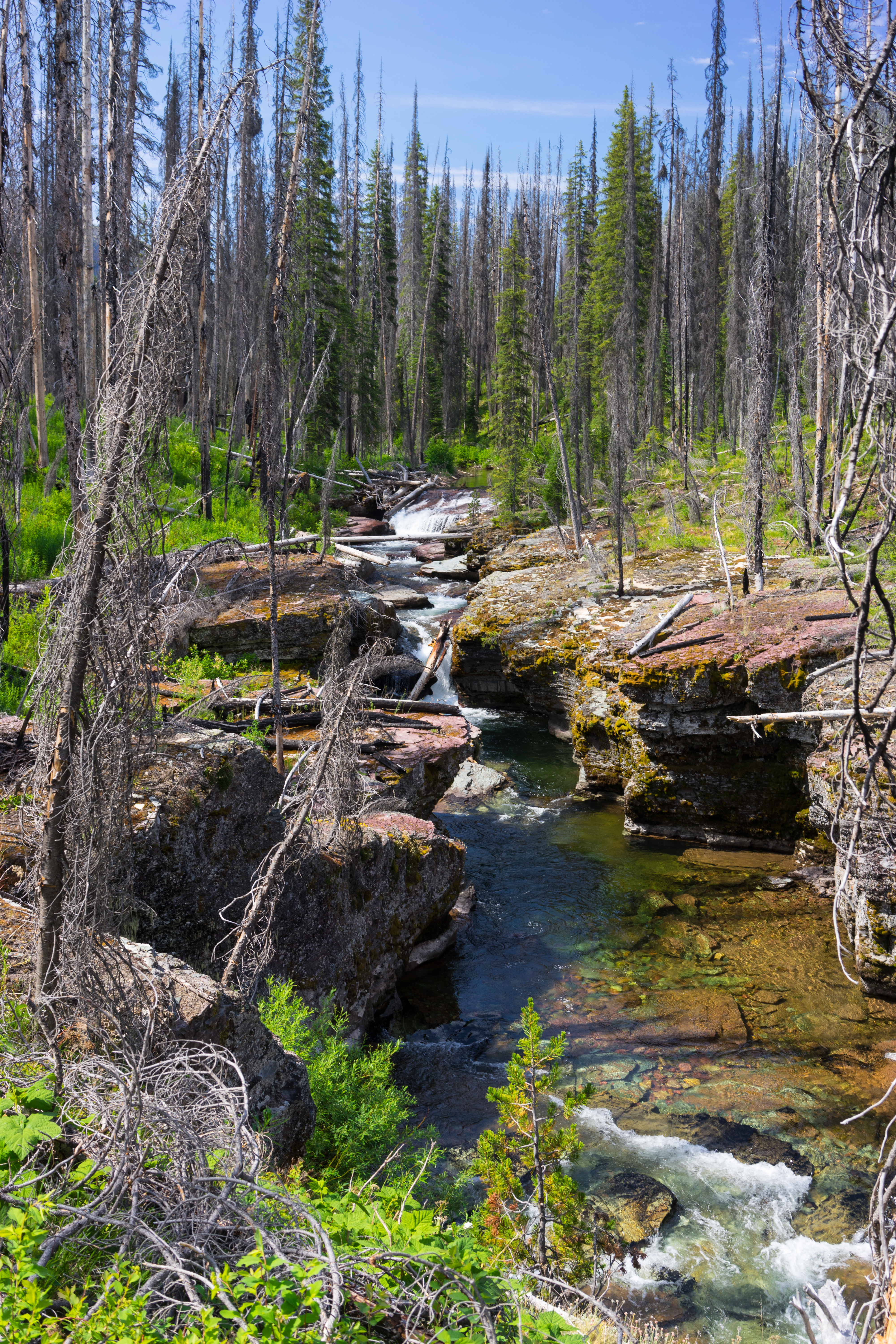
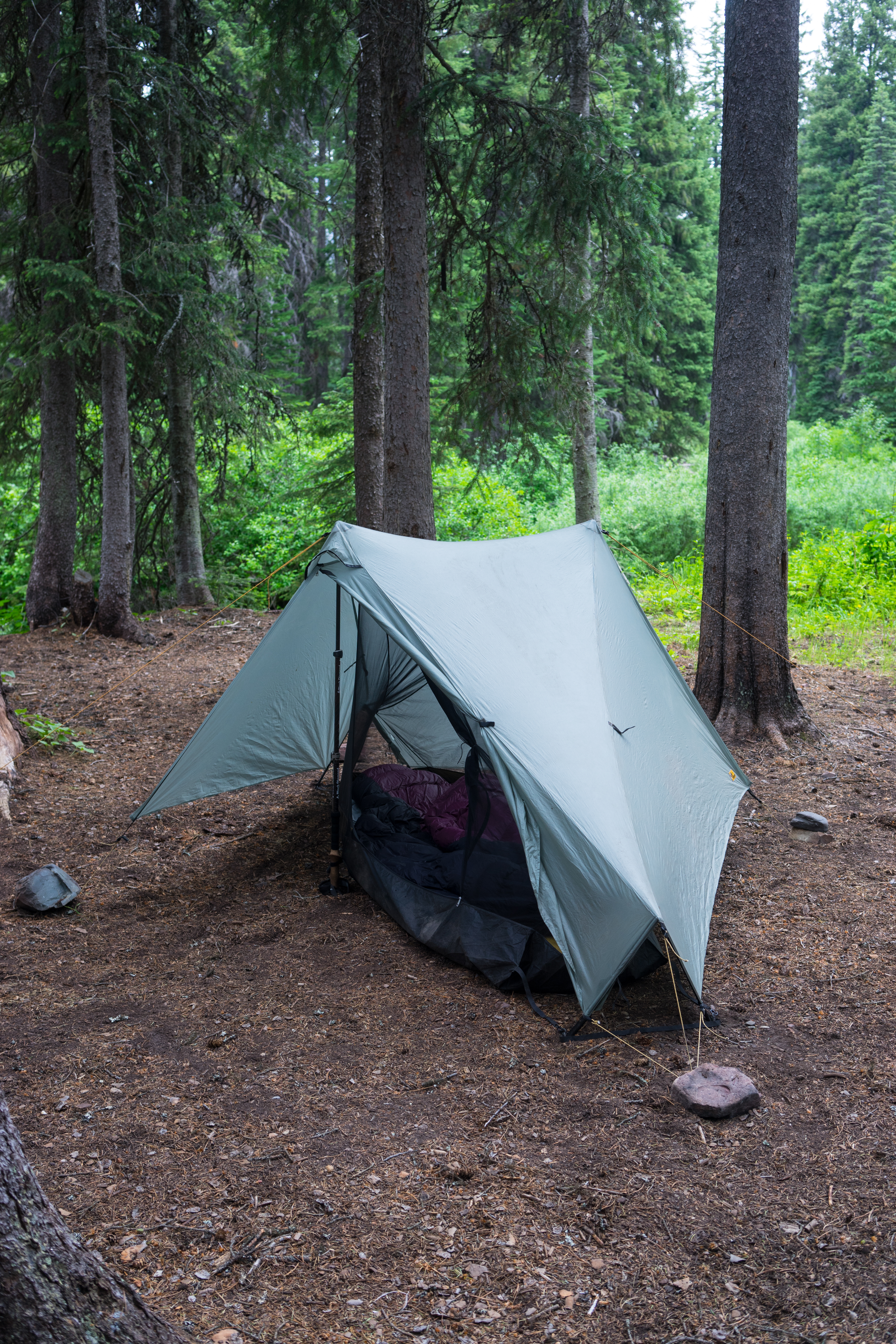
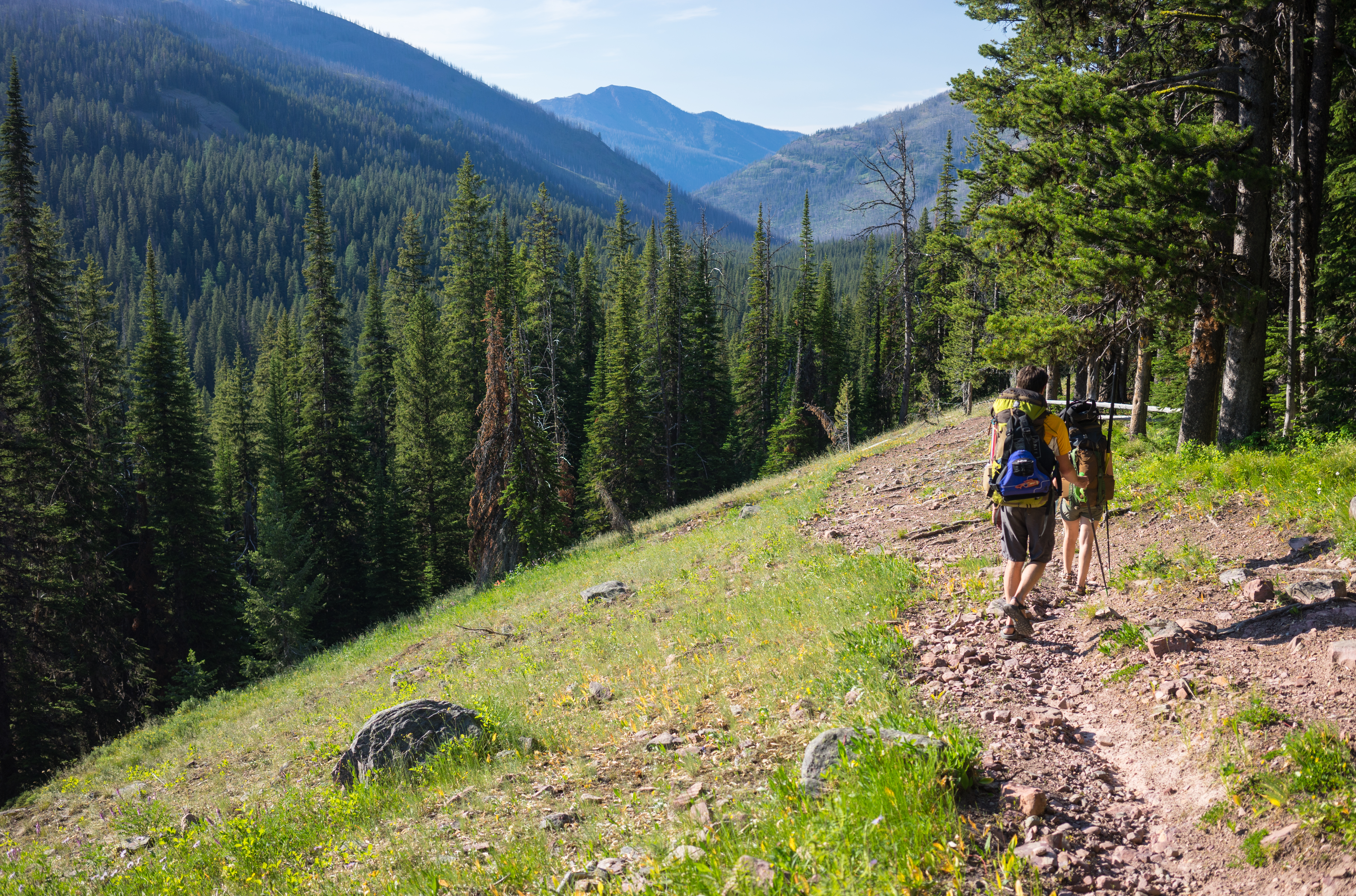
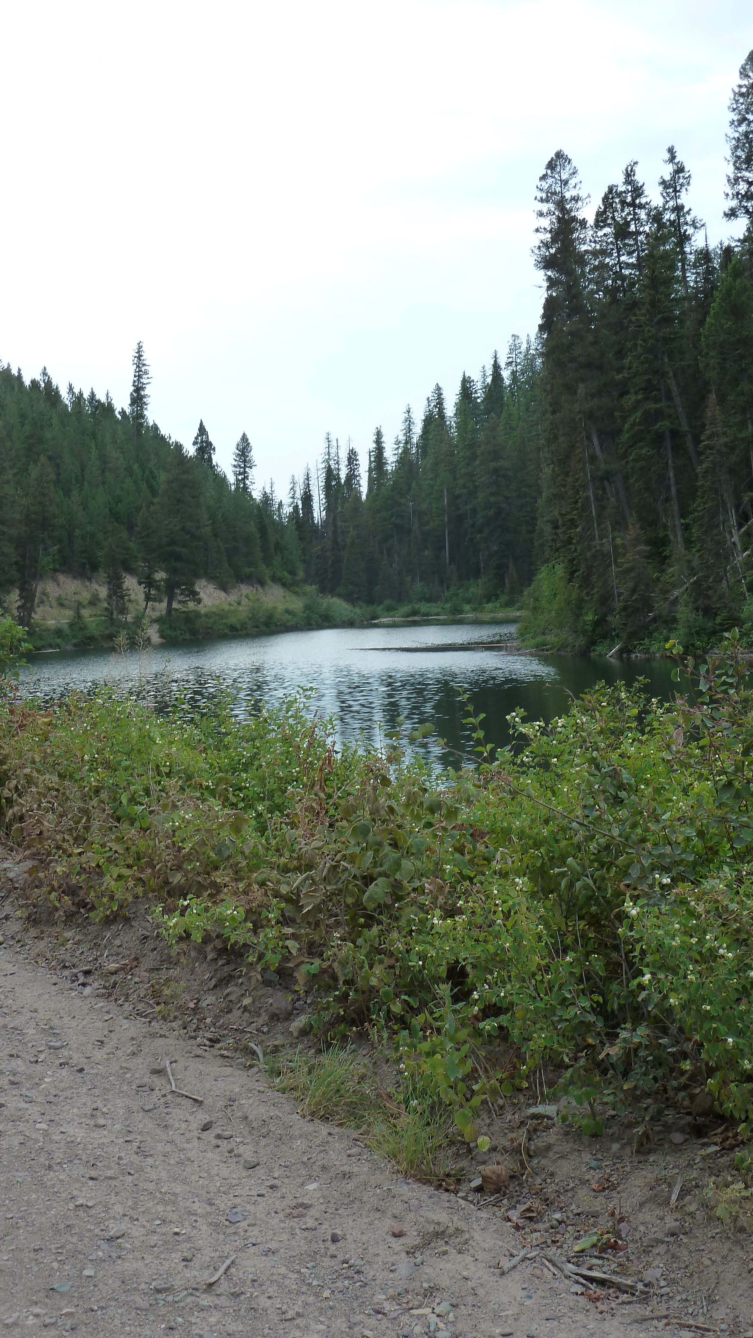
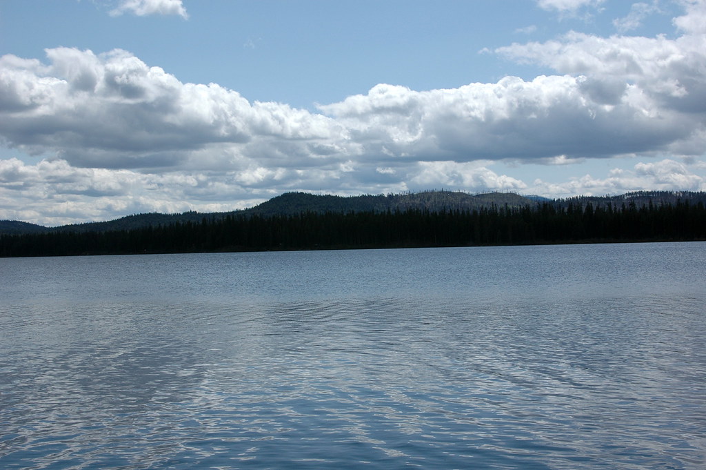
Fotos
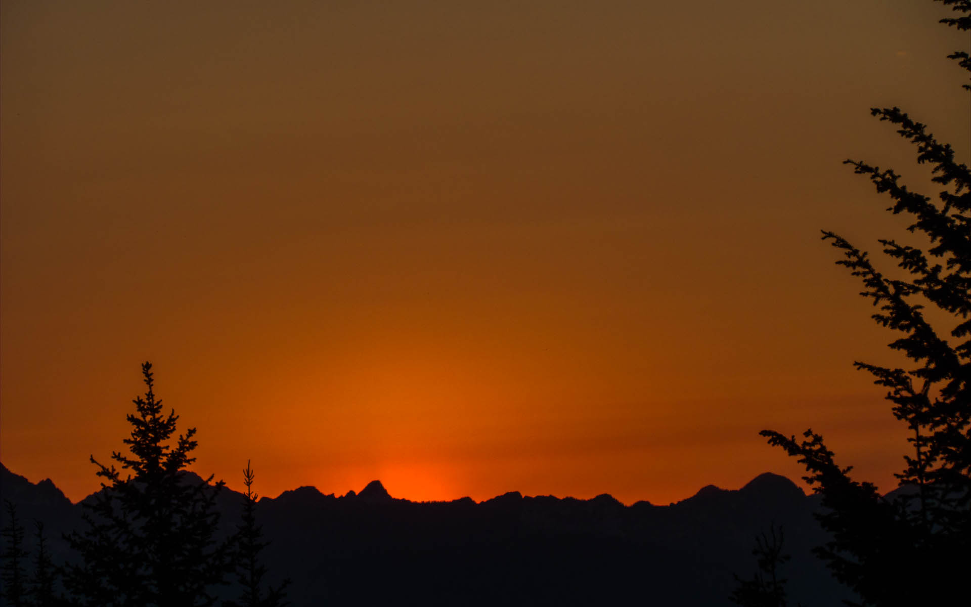
Sunset in the Missions

DSC_0134
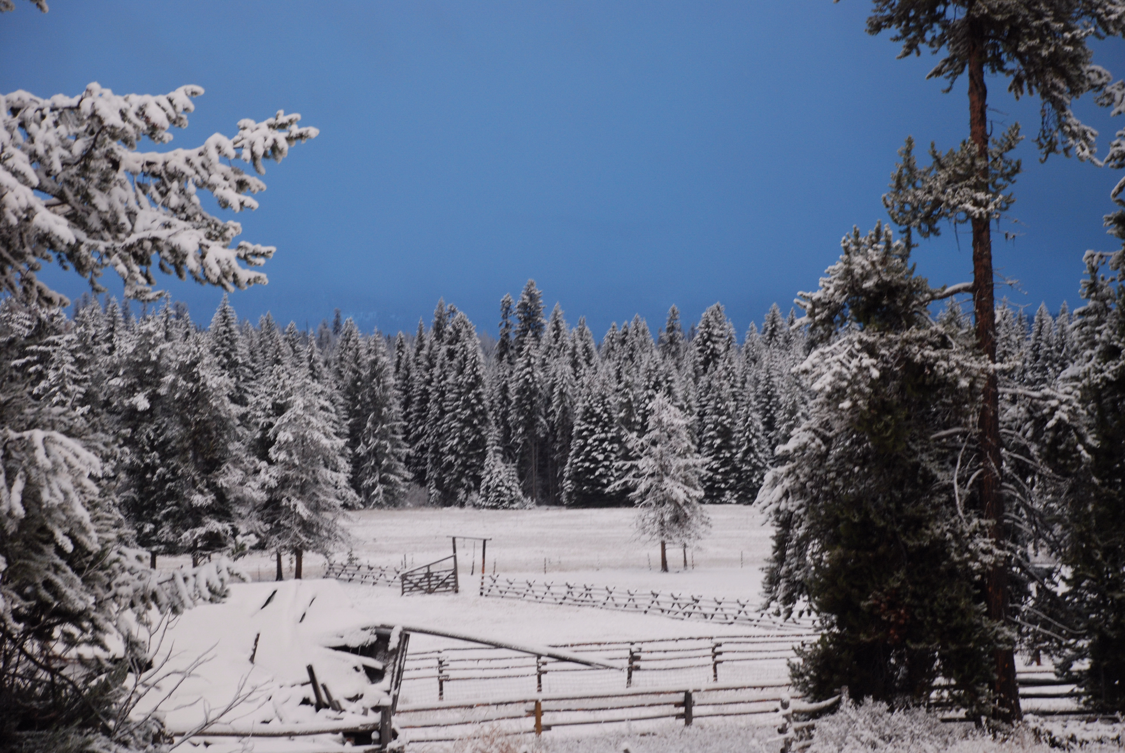
Seeley Lake Montana/this photo is untouched. the sky was that color!
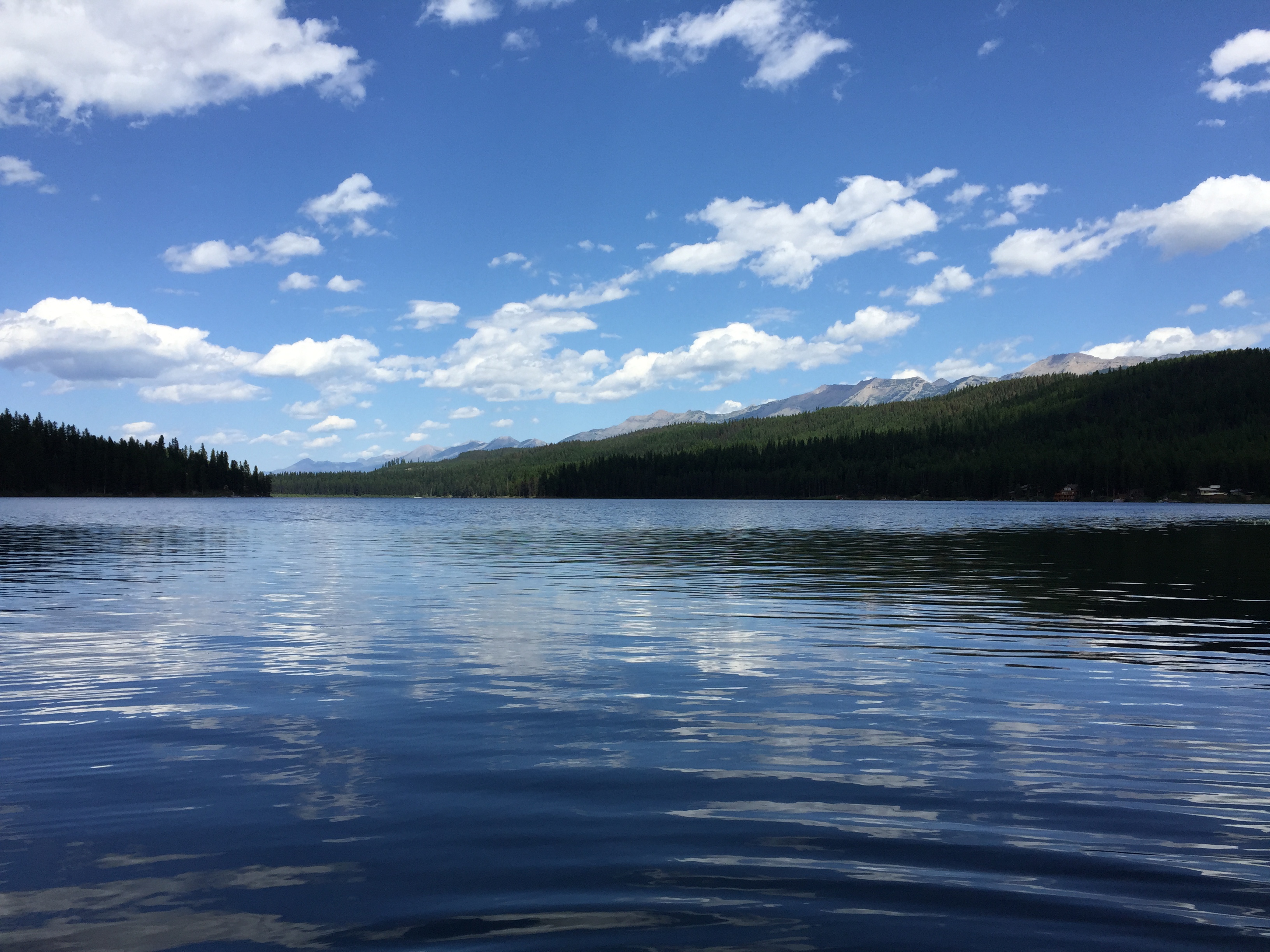
That Works
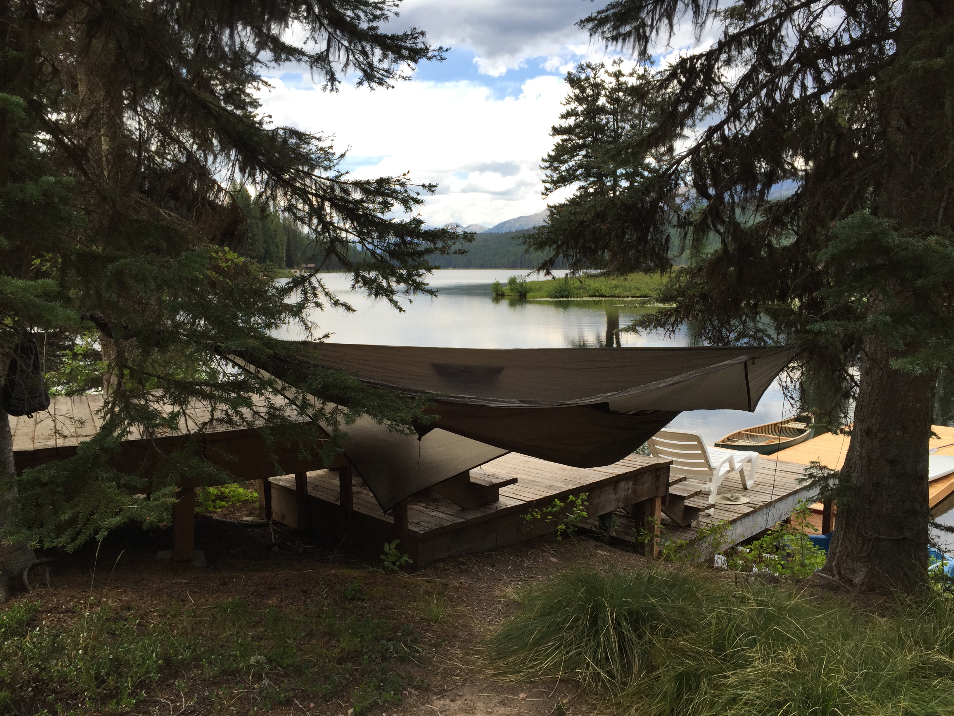
Lake Inez
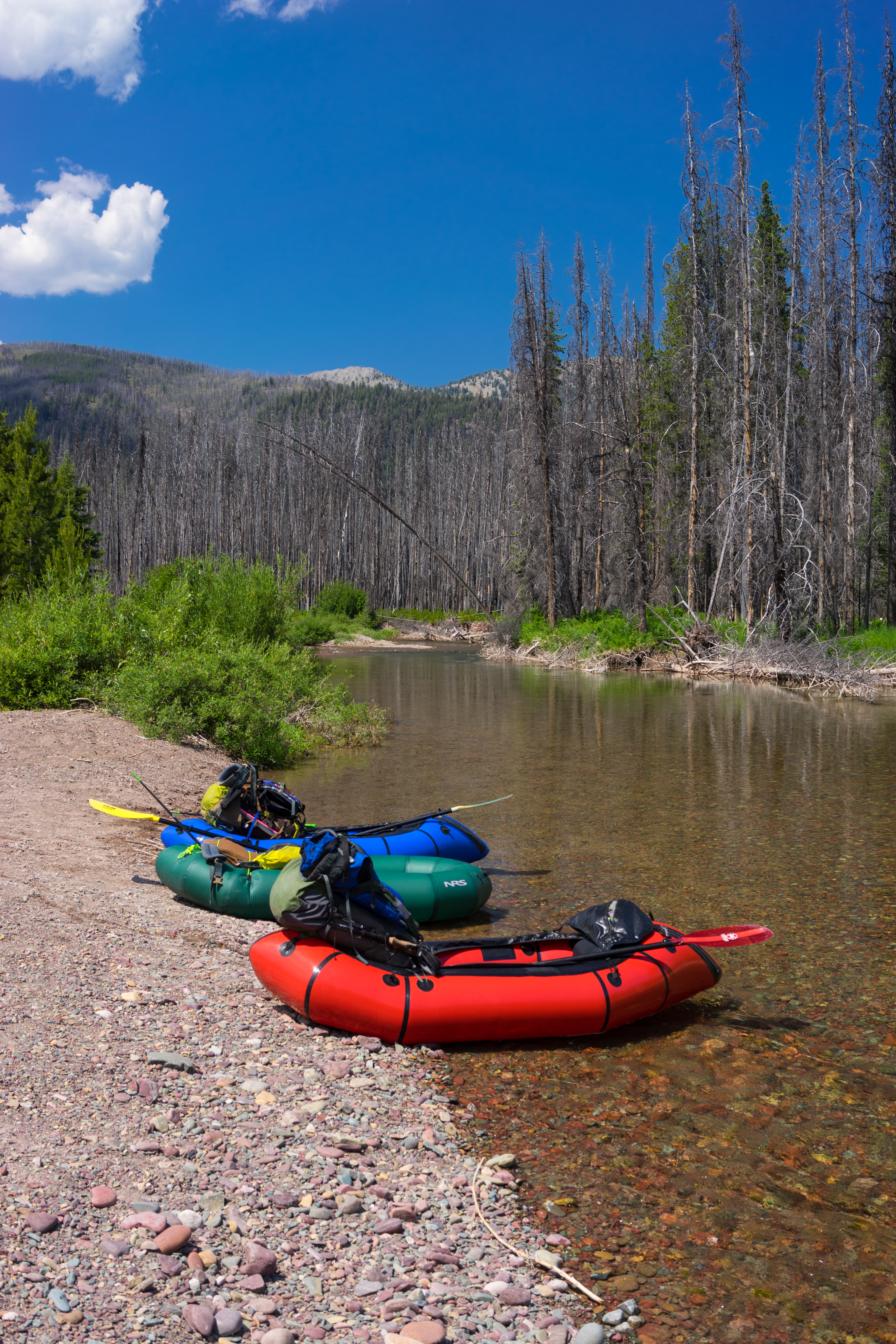
Putting in on Youngs Creek
The Big Slide
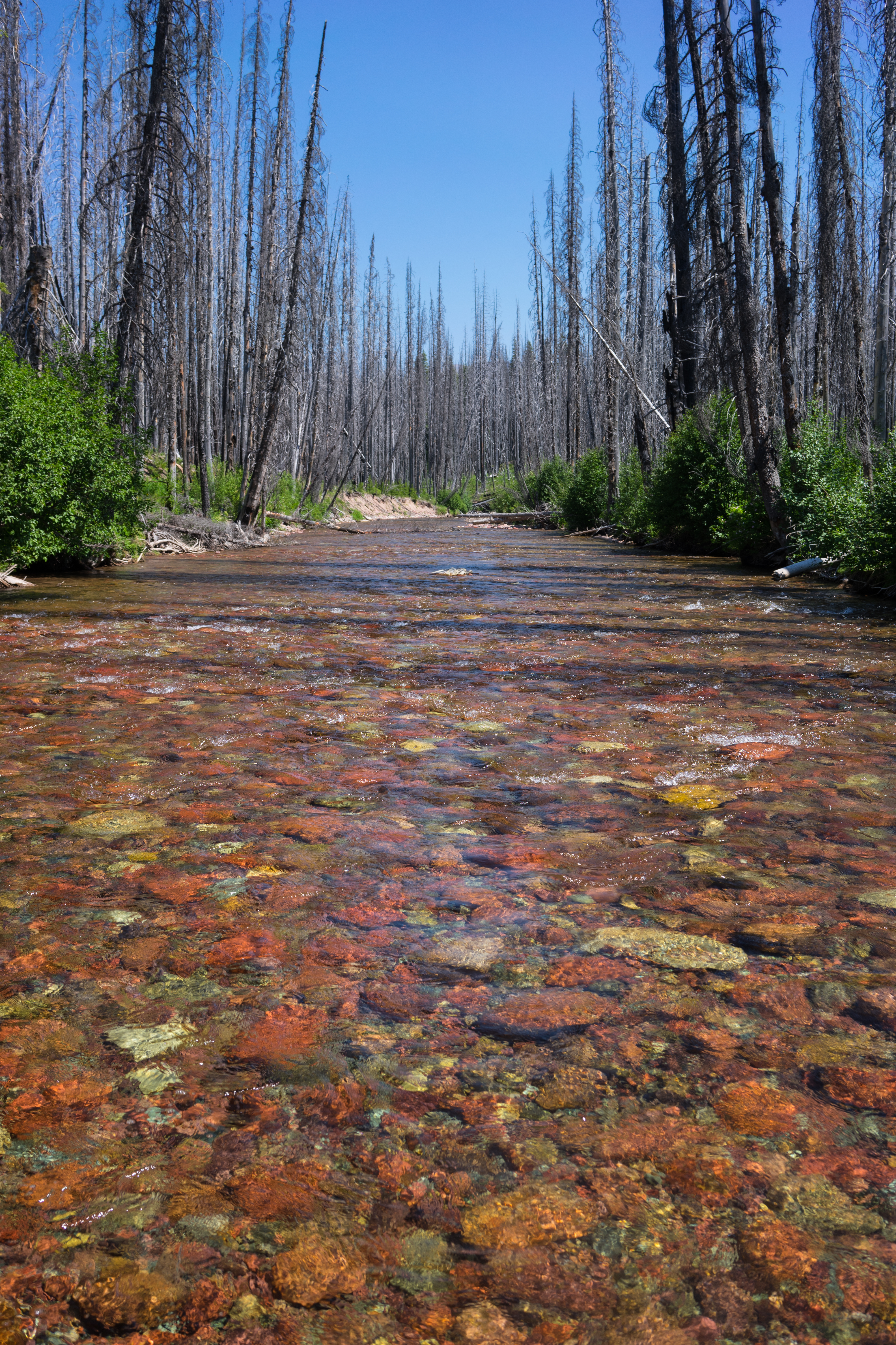
Youngs Creek
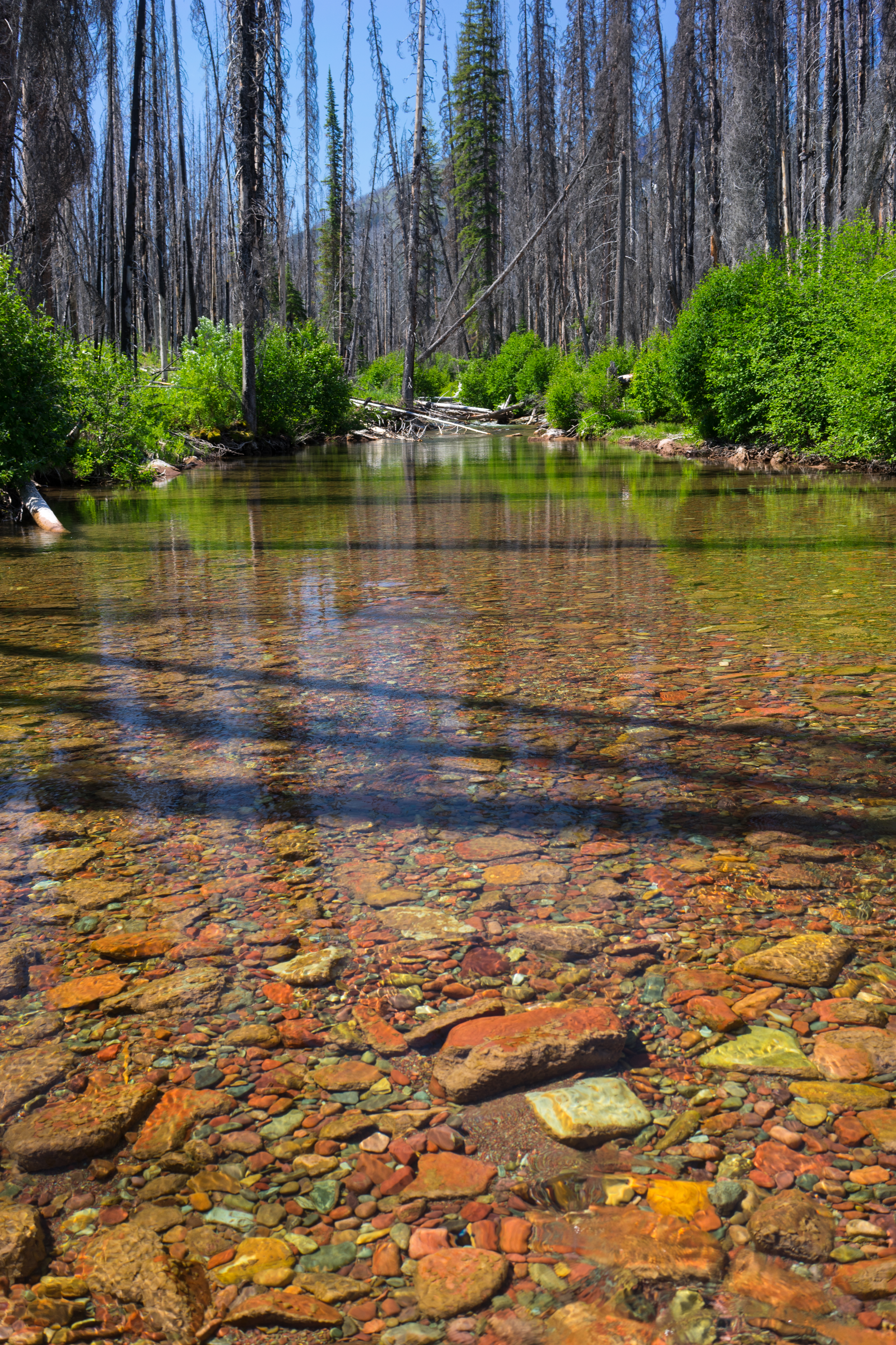
Youngs Creek
Youngs Creek
Camp 1
Jenny Creek Trail
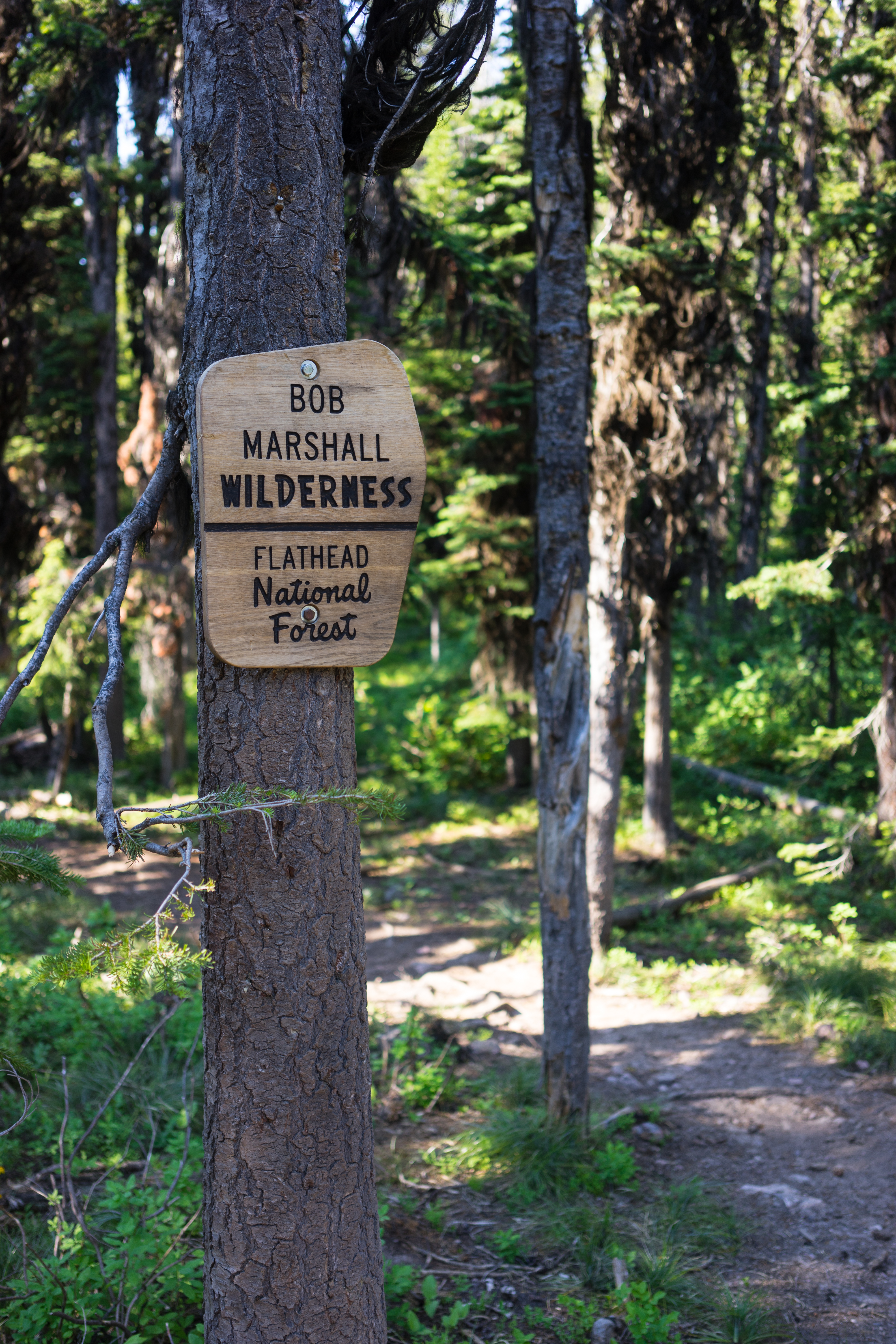
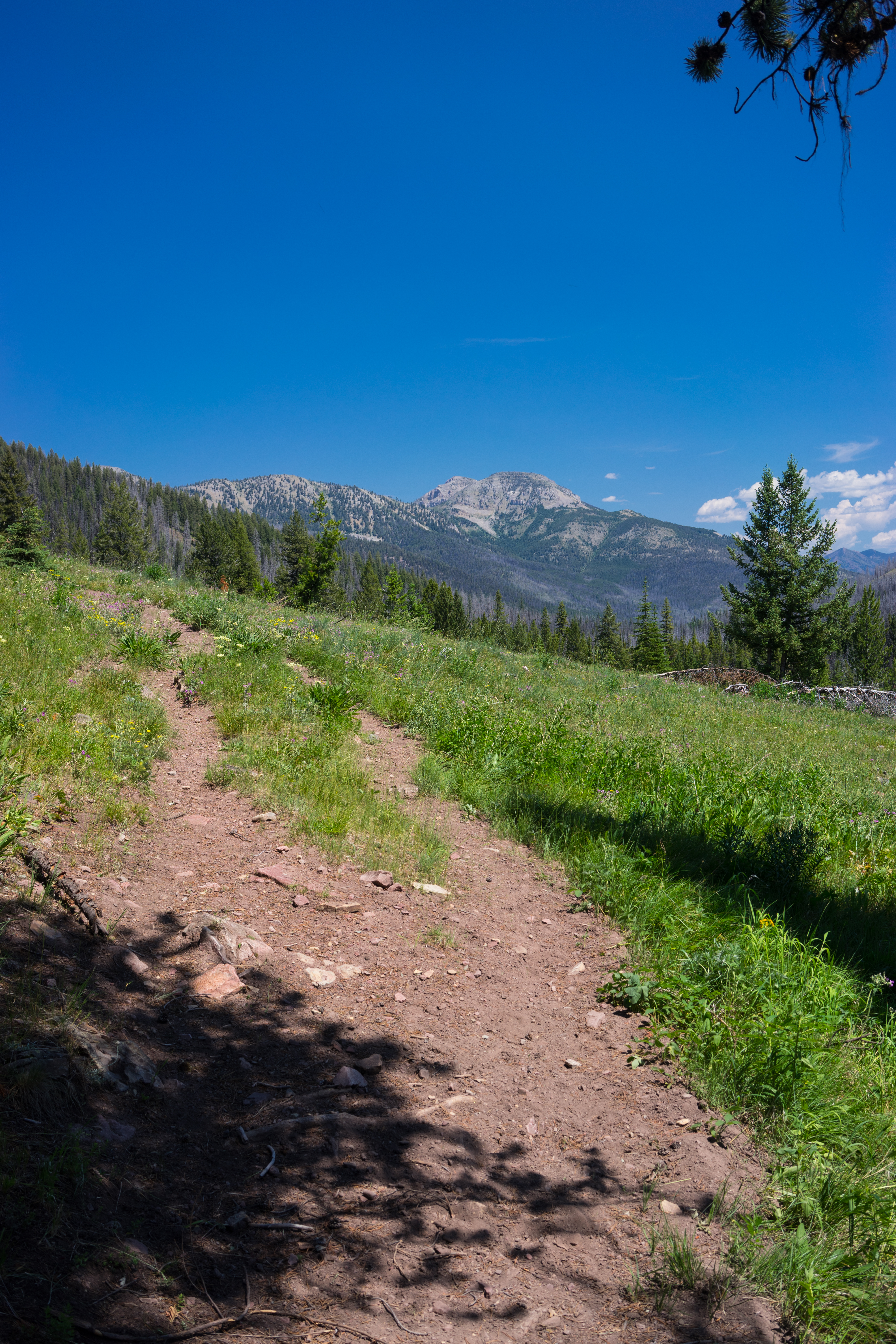
Bob Marshall Wilderness
Lodgepole Creek Trail
Wednesday June 17 Left lodge at Holland lake to Ovando A very good day. Across Richmond Peak with great north and south views Also some riding along the edge of a trail Long downhill and then on to another pass Stayed at small inn above general store
Montana Singletrack Jul 20, 2014, 10-05 AM.02
Richmond Peak looking North
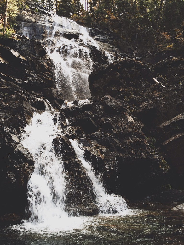
Fall hike to Morrell Falls

Sign for the Montana Pines Motel, Seeley Lake

Cottonwood Lake, MT
Cottonwood Lake, MT

D70-0515-065 - Seeley Lake
D70-0515-066 - Seeley Lake

D70-0515-067 - Seeley Lake
Mapa de Leota Peak, Montana, EE. UU.
Buscar otro lugar
Lugares cercanos
Marshall Mountain, Montana, EE. UU.
Devine Peak, Montana, EE. UU.
Count Peak, Montana, EE. UU.
Crescent Mountain, Montana, EE. UU.
Monture Mountain, Montana, EE. UU.
Morrell Mountain, Montana, EE. UU.
Morrell Falls, Montana, EE. UU.
Matt Mountain, Montana, EE. UU.
East Morrell, E Morrell, Seeley Lake, MT, EE. UU.
Sunday Mountain, Montana, EE. UU.
Summit Dr, Seeley Lake, MT, EE. UU.
Summit Drive, Summit Dr, Seeley Lake, MT, EE. UU.
N Canyon Dr, Seeley Lake, MT, EE. UU.
Elkhorn Rd, Seeley Lake, MT, EE. UU.
Elkhorn Road, Elkhorn Rd, Seeley Lake, MT, EE. UU.
Fisher Peak, Montana, EE. UU.
S Canyon Dr, Seeley Lake, MT, EE. UU.
Seeley Lake, Montana, EE. UU.
Dunham Point, Montana, EE. UU.
Snowmass Dr, Seeley Lake, MT, EE. UU.
Búsquedas recientes
- Horas de salida y puesta de sol de Red Dog Mine, AK, USA
- Horas de salida y puesta de sol de Am Bahnhof, Am bhf, Borken, Germany
- Horas de salida y puesta de sol de 4th St E, Sonoma, CA, EE. UU.
- Horas de salida y puesta de sol de Oakland Ave, Williamsport, PA, EE. UU.
- Horas de salida y puesta de sol de Via Roma, Pieranica CR, Italia
- Horas de salida y puesta de sol de Torre del reloj, Grad, Dubrovnik (Ragusa), Croacia
- Horas de salida y puesta de sol de Trelew, Chubut, Argentina
- Horas de salida y puesta de sol de Hartfords Bluff Cir, Mt Pleasant, SC, EE. UU.
- Horas de salida y puesta de sol de Kita Ward, Kumamoto, Japón
- Horas de salida y puesta de sol de Pingtan Island, Pingtan County, Fuzhou, China