Horas de salida y puesta de sol de Ingomar Rd, Gustine, CA, EE. UU.
Location: Estados Unidos > California > Condado de Merced > Gustine >
Zona horaria:
America/Los_Angeles
Hora local:
2025-06-25 16:49:55
Longitud:
-120.969709
Latitud:
37.1785349
Salida de sol de hoy:
05:45:42 AM
Puesta de sol de hoy:
08:28:09 PM
La duración del día hoy:
14h 42m 27s
Salida de sol de mañana:
05:46:04 AM
Puesta de sol de mañana:
08:28:12 PM
La duración del día mañana:
14h 42m 8s
Mostrar todas las fechas
| Fecha | Salida de sol | Puesta de sol | Duración del día |
|---|---|---|---|
| 01/01/2025 | 07:17:45 AM | 04:58:27 PM | 9h 40m 42s |
| 02/01/2025 | 07:17:50 AM | 04:59:17 PM | 9h 41m 27s |
| 03/01/2025 | 07:17:54 AM | 05:00:08 PM | 9h 42m 14s |
| 04/01/2025 | 07:17:55 AM | 05:01:00 PM | 9h 43m 5s |
| 05/01/2025 | 07:17:55 AM | 05:01:53 PM | 9h 43m 58s |
| 06/01/2025 | 07:17:52 AM | 05:02:47 PM | 9h 44m 55s |
| 07/01/2025 | 07:17:47 AM | 05:03:42 PM | 9h 45m 55s |
| 08/01/2025 | 07:17:41 AM | 05:04:38 PM | 9h 46m 57s |
| 09/01/2025 | 07:17:32 AM | 05:05:35 PM | 9h 48m 3s |
| 10/01/2025 | 07:17:21 AM | 05:06:33 PM | 9h 49m 12s |
| 11/01/2025 | 07:17:08 AM | 05:07:32 PM | 9h 50m 24s |
| 12/01/2025 | 07:16:54 AM | 05:08:32 PM | 9h 51m 38s |
| 13/01/2025 | 07:16:37 AM | 05:09:32 PM | 9h 52m 55s |
| 14/01/2025 | 07:16:18 AM | 05:10:33 PM | 9h 54m 15s |
| 15/01/2025 | 07:15:57 AM | 05:11:34 PM | 9h 55m 37s |
| 16/01/2025 | 07:15:34 AM | 05:12:37 PM | 9h 57m 3s |
| 17/01/2025 | 07:15:10 AM | 05:13:39 PM | 9h 58m 29s |
| 18/01/2025 | 07:14:43 AM | 05:14:42 PM | 9h 59m 59s |
| 19/01/2025 | 07:14:14 AM | 05:15:46 PM | 10h 1m 32s |
| 20/01/2025 | 07:13:44 AM | 05:16:50 PM | 10h 3m 6s |
| 21/01/2025 | 07:13:11 AM | 05:17:54 PM | 10h 4m 43s |
| 22/01/2025 | 07:12:37 AM | 05:18:59 PM | 10h 6m 22s |
| 23/01/2025 | 07:12:01 AM | 05:20:04 PM | 10h 8m 3s |
| 24/01/2025 | 07:11:23 AM | 05:21:09 PM | 10h 9m 46s |
| 25/01/2025 | 07:10:43 AM | 05:22:14 PM | 10h 11m 31s |
| 26/01/2025 | 07:10:02 AM | 05:23:20 PM | 10h 13m 18s |
| 27/01/2025 | 07:09:19 AM | 05:24:25 PM | 10h 15m 6s |
| 28/01/2025 | 07:08:34 AM | 05:25:31 PM | 10h 16m 57s |
| 29/01/2025 | 07:07:47 AM | 05:26:37 PM | 10h 18m 50s |
| 30/01/2025 | 07:06:59 AM | 05:27:42 PM | 10h 20m 43s |
| 31/01/2025 | 07:06:09 AM | 05:28:48 PM | 10h 22m 39s |
| 01/02/2025 | 07:05:18 AM | 05:29:54 PM | 10h 24m 36s |
| 02/02/2025 | 07:04:25 AM | 05:30:59 PM | 10h 26m 34s |
| 03/02/2025 | 07:03:31 AM | 05:32:05 PM | 10h 28m 34s |
| 04/02/2025 | 07:02:35 AM | 05:33:10 PM | 10h 30m 35s |
| 05/02/2025 | 07:01:37 AM | 05:34:15 PM | 10h 32m 38s |
| 06/02/2025 | 07:00:38 AM | 05:35:20 PM | 10h 34m 42s |
| 07/02/2025 | 06:59:38 AM | 05:36:25 PM | 10h 36m 47s |
| 08/02/2025 | 06:58:36 AM | 05:37:30 PM | 10h 38m 54s |
| 09/02/2025 | 06:57:33 AM | 05:38:35 PM | 10h 41m 2s |
| 10/02/2025 | 06:56:29 AM | 05:39:39 PM | 10h 43m 10s |
| 11/02/2025 | 06:55:24 AM | 05:40:43 PM | 10h 45m 19s |
| 12/02/2025 | 06:54:17 AM | 05:41:46 PM | 10h 47m 29s |
| 13/02/2025 | 06:53:09 AM | 05:42:50 PM | 10h 49m 41s |
| 14/02/2025 | 06:52:00 AM | 05:43:53 PM | 10h 51m 53s |
| 15/02/2025 | 06:50:49 AM | 05:44:56 PM | 10h 54m 7s |
| 16/02/2025 | 06:49:38 AM | 05:45:59 PM | 10h 56m 21s |
| 17/02/2025 | 06:48:25 AM | 05:47:01 PM | 10h 58m 36s |
| 18/02/2025 | 06:47:12 AM | 05:48:03 PM | 11h 0m 51s |
| 19/02/2025 | 06:45:57 AM | 05:49:04 PM | 11h 3m 7s |
| 20/02/2025 | 06:44:42 AM | 05:50:06 PM | 11h 5m 24s |
| 21/02/2025 | 06:43:26 AM | 05:51:07 PM | 11h 7m 41s |
| 22/02/2025 | 06:42:08 AM | 05:52:07 PM | 11h 9m 59s |
| 23/02/2025 | 06:40:50 AM | 05:53:08 PM | 11h 12m 18s |
| 24/02/2025 | 06:39:31 AM | 05:54:08 PM | 11h 14m 37s |
| 25/02/2025 | 06:38:11 AM | 05:55:07 PM | 11h 16m 56s |
| 26/02/2025 | 06:36:50 AM | 05:56:07 PM | 11h 19m 17s |
| 27/02/2025 | 06:35:29 AM | 05:57:06 PM | 11h 21m 37s |
| 28/02/2025 | 06:34:07 AM | 05:58:05 PM | 11h 23m 58s |
| 01/03/2025 | 06:32:44 AM | 05:59:03 PM | 11h 26m 19s |
| 02/03/2025 | 06:31:21 AM | 06:00:01 PM | 11h 28m 40s |
| 03/03/2025 | 06:29:57 AM | 06:00:59 PM | 11h 31m 2s |
| 04/03/2025 | 06:28:32 AM | 06:01:57 PM | 11h 33m 25s |
| 05/03/2025 | 06:27:07 AM | 06:02:54 PM | 11h 35m 47s |
| 06/03/2025 | 06:25:41 AM | 06:03:51 PM | 11h 38m 10s |
| 07/03/2025 | 06:24:15 AM | 06:04:48 PM | 11h 40m 33s |
| 08/03/2025 | 06:22:48 AM | 06:05:44 PM | 11h 42m 56s |
| 09/03/2025 | 07:21:25 AM | 07:06:38 PM | 11h 45m 13s |
| 10/03/2025 | 07:19:58 AM | 07:07:34 PM | 11h 47m 36s |
| 11/03/2025 | 07:18:30 AM | 07:08:30 PM | 11h 50m 0s |
| 12/03/2025 | 07:17:02 AM | 07:09:25 PM | 11h 52m 23s |
| 13/03/2025 | 07:15:33 AM | 07:10:21 PM | 11h 54m 48s |
| 14/03/2025 | 07:14:04 AM | 07:11:16 PM | 11h 57m 12s |
| 15/03/2025 | 07:12:35 AM | 07:12:11 PM | 11h 59m 36s |
| 16/03/2025 | 07:11:06 AM | 07:13:05 PM | 12h 1m 59s |
| 17/03/2025 | 07:09:37 AM | 07:14:00 PM | 12h 4m 23s |
| 18/03/2025 | 07:08:07 AM | 07:14:54 PM | 12h 6m 47s |
| 19/03/2025 | 07:06:38 AM | 07:15:48 PM | 12h 9m 10s |
| 20/03/2025 | 07:05:08 AM | 07:16:42 PM | 12h 11m 34s |
| 21/03/2025 | 07:03:38 AM | 07:17:36 PM | 12h 13m 58s |
| 22/03/2025 | 07:02:08 AM | 07:18:30 PM | 12h 16m 22s |
| 23/03/2025 | 07:00:38 AM | 07:19:24 PM | 12h 18m 46s |
| 24/03/2025 | 06:59:09 AM | 07:20:18 PM | 12h 21m 9s |
| 25/03/2025 | 06:57:39 AM | 07:21:11 PM | 12h 23m 32s |
| 26/03/2025 | 06:56:09 AM | 07:22:05 PM | 12h 25m 56s |
| 27/03/2025 | 06:54:40 AM | 07:22:58 PM | 12h 28m 18s |
| 28/03/2025 | 06:53:10 AM | 07:23:51 PM | 12h 30m 41s |
| 29/03/2025 | 06:51:41 AM | 07:24:45 PM | 12h 33m 4s |
| 30/03/2025 | 06:50:12 AM | 07:25:38 PM | 12h 35m 26s |
| 31/03/2025 | 06:48:43 AM | 07:26:31 PM | 12h 37m 48s |
| 01/04/2025 | 06:47:15 AM | 07:27:24 PM | 12h 40m 9s |
| 02/04/2025 | 06:45:46 AM | 07:28:17 PM | 12h 42m 31s |
| 03/04/2025 | 06:44:18 AM | 07:29:11 PM | 12h 44m 53s |
| 04/04/2025 | 06:42:51 AM | 07:30:04 PM | 12h 47m 13s |
| 05/04/2025 | 06:41:24 AM | 07:30:57 PM | 12h 49m 33s |
| 06/04/2025 | 06:39:57 AM | 07:31:50 PM | 12h 51m 53s |
| 07/04/2025 | 06:38:31 AM | 07:32:43 PM | 12h 54m 12s |
| 08/04/2025 | 06:37:05 AM | 07:33:37 PM | 12h 56m 32s |
| 09/04/2025 | 06:35:39 AM | 07:34:30 PM | 12h 58m 51s |
| 10/04/2025 | 06:34:14 AM | 07:35:23 PM | 13h 1m 9s |
| 11/04/2025 | 06:32:50 AM | 07:36:17 PM | 13h 3m 27s |
| 12/04/2025 | 06:31:26 AM | 07:37:10 PM | 13h 5m 44s |
| 13/04/2025 | 06:30:03 AM | 07:38:04 PM | 13h 8m 1s |
| 14/04/2025 | 06:28:41 AM | 07:38:57 PM | 13h 10m 16s |
| 15/04/2025 | 06:27:19 AM | 07:39:51 PM | 13h 12m 32s |
| 16/04/2025 | 06:25:58 AM | 07:40:44 PM | 13h 14m 46s |
| 17/04/2025 | 06:24:38 AM | 07:41:38 PM | 13h 17m 0s |
| 18/04/2025 | 06:23:18 AM | 07:42:32 PM | 13h 19m 14s |
| 19/04/2025 | 06:22:00 AM | 07:43:25 PM | 13h 21m 25s |
| 20/04/2025 | 06:20:42 AM | 07:44:19 PM | 13h 23m 37s |
| 21/04/2025 | 06:19:25 AM | 07:45:13 PM | 13h 25m 48s |
| 22/04/2025 | 06:18:08 AM | 07:46:07 PM | 13h 27m 59s |
| 23/04/2025 | 06:16:53 AM | 07:47:00 PM | 13h 30m 7s |
| 24/04/2025 | 06:15:39 AM | 07:47:54 PM | 13h 32m 15s |
| 25/04/2025 | 06:14:26 AM | 07:48:48 PM | 13h 34m 22s |
| 26/04/2025 | 06:13:13 AM | 07:49:42 PM | 13h 36m 29s |
| 27/04/2025 | 06:12:02 AM | 07:50:36 PM | 13h 38m 34s |
| 28/04/2025 | 06:10:52 AM | 07:51:30 PM | 13h 40m 38s |
| 29/04/2025 | 06:09:43 AM | 07:52:23 PM | 13h 42m 40s |
| 30/04/2025 | 06:08:35 AM | 07:53:17 PM | 13h 44m 42s |
| 01/05/2025 | 06:07:28 AM | 07:54:11 PM | 13h 46m 43s |
| 02/05/2025 | 06:06:22 AM | 07:55:04 PM | 13h 48m 42s |
| 03/05/2025 | 06:05:18 AM | 07:55:58 PM | 13h 50m 40s |
| 04/05/2025 | 06:04:14 AM | 07:56:51 PM | 13h 52m 37s |
| 05/05/2025 | 06:03:12 AM | 07:57:44 PM | 13h 54m 32s |
| 06/05/2025 | 06:02:12 AM | 07:58:37 PM | 13h 56m 25s |
| 07/05/2025 | 06:01:12 AM | 07:59:30 PM | 13h 58m 18s |
| 08/05/2025 | 06:00:14 AM | 08:00:23 PM | 14h 0m 9s |
| 09/05/2025 | 05:59:18 AM | 08:01:15 PM | 14h 1m 57s |
| 10/05/2025 | 05:58:22 AM | 08:02:08 PM | 14h 3m 46s |
| 11/05/2025 | 05:57:29 AM | 08:02:59 PM | 14h 5m 30s |
| 12/05/2025 | 05:56:36 AM | 08:03:51 PM | 14h 7m 15s |
| 13/05/2025 | 05:55:45 AM | 08:04:42 PM | 14h 8m 57s |
| 14/05/2025 | 05:54:56 AM | 08:05:33 PM | 14h 10m 37s |
| 15/05/2025 | 05:54:08 AM | 08:06:24 PM | 14h 12m 16s |
| 16/05/2025 | 05:53:22 AM | 08:07:14 PM | 14h 13m 52s |
| 17/05/2025 | 05:52:37 AM | 08:08:04 PM | 14h 15m 27s |
| 18/05/2025 | 05:51:53 AM | 08:08:53 PM | 14h 17m 0s |
| 19/05/2025 | 05:51:12 AM | 08:09:41 PM | 14h 18m 29s |
| 20/05/2025 | 05:50:32 AM | 08:10:30 PM | 14h 19m 58s |
| 21/05/2025 | 05:49:53 AM | 08:11:17 PM | 14h 21m 24s |
| 22/05/2025 | 05:49:17 AM | 08:12:04 PM | 14h 22m 47s |
| 23/05/2025 | 05:48:42 AM | 08:12:50 PM | 14h 24m 8s |
| 24/05/2025 | 05:48:08 AM | 08:13:36 PM | 14h 25m 28s |
| 25/05/2025 | 05:47:37 AM | 08:14:21 PM | 14h 26m 44s |
| 26/05/2025 | 05:47:07 AM | 08:15:05 PM | 14h 27m 58s |
| 27/05/2025 | 05:46:38 AM | 08:15:48 PM | 14h 29m 10s |
| 28/05/2025 | 05:46:12 AM | 08:16:30 PM | 14h 30m 18s |
| 29/05/2025 | 05:45:47 AM | 08:17:12 PM | 14h 31m 25s |
| 30/05/2025 | 05:45:24 AM | 08:17:53 PM | 14h 32m 29s |
| 31/05/2025 | 05:45:03 AM | 08:18:32 PM | 14h 33m 29s |
| 01/06/2025 | 05:44:43 AM | 08:19:11 PM | 14h 34m 28s |
| 02/06/2025 | 05:44:26 AM | 08:19:49 PM | 14h 35m 23s |
| 03/06/2025 | 05:44:10 AM | 08:20:25 PM | 14h 36m 15s |
| 04/06/2025 | 05:43:56 AM | 08:21:01 PM | 14h 37m 5s |
| 05/06/2025 | 05:43:43 AM | 08:21:35 PM | 14h 37m 52s |
| 06/06/2025 | 05:43:33 AM | 08:22:08 PM | 14h 38m 35s |
| 07/06/2025 | 05:43:24 AM | 08:22:40 PM | 14h 39m 16s |
| 08/06/2025 | 05:43:17 AM | 08:23:11 PM | 14h 39m 54s |
| 09/06/2025 | 05:43:11 AM | 08:23:40 PM | 14h 40m 29s |
| 10/06/2025 | 05:43:08 AM | 08:24:08 PM | 14h 41m 0s |
| 11/06/2025 | 05:43:06 AM | 08:24:35 PM | 14h 41m 29s |
| 12/06/2025 | 05:43:06 AM | 08:25:00 PM | 14h 41m 54s |
| 13/06/2025 | 05:43:07 AM | 08:25:24 PM | 14h 42m 17s |
| 14/06/2025 | 05:43:11 AM | 08:25:46 PM | 14h 42m 35s |
| 15/06/2025 | 05:43:16 AM | 08:26:07 PM | 14h 42m 51s |
| 16/06/2025 | 05:43:22 AM | 08:26:26 PM | 14h 43m 4s |
| 17/06/2025 | 05:43:31 AM | 08:26:44 PM | 14h 43m 13s |
| 18/06/2025 | 05:43:40 AM | 08:27:01 PM | 14h 43m 21s |
| 19/06/2025 | 05:43:52 AM | 08:27:15 PM | 14h 43m 23s |
| 20/06/2025 | 05:44:05 AM | 08:27:28 PM | 14h 43m 23s |
| 21/06/2025 | 05:44:20 AM | 08:27:40 PM | 14h 43m 20s |
| 22/06/2025 | 05:44:36 AM | 08:27:49 PM | 14h 43m 13s |
| 23/06/2025 | 05:44:54 AM | 08:27:57 PM | 14h 43m 3s |
| 24/06/2025 | 05:45:13 AM | 08:28:04 PM | 14h 42m 51s |
| 25/06/2025 | 05:45:33 AM | 08:28:08 PM | 14h 42m 35s |
| 26/06/2025 | 05:45:56 AM | 08:28:11 PM | 14h 42m 15s |
| 27/06/2025 | 05:46:19 AM | 08:28:12 PM | 14h 41m 53s |
| 28/06/2025 | 05:46:44 AM | 08:28:11 PM | 14h 41m 27s |
| 29/06/2025 | 05:47:10 AM | 08:28:09 PM | 14h 40m 59s |
| 30/06/2025 | 05:47:37 AM | 08:28:05 PM | 14h 40m 28s |
| 01/07/2025 | 05:48:06 AM | 08:27:59 PM | 14h 39m 53s |
| 02/07/2025 | 05:48:36 AM | 08:27:51 PM | 14h 39m 15s |
| 03/07/2025 | 05:49:07 AM | 08:27:41 PM | 14h 38m 34s |
| 04/07/2025 | 05:49:39 AM | 08:27:29 PM | 14h 37m 50s |
| 05/07/2025 | 05:50:12 AM | 08:27:16 PM | 14h 37m 4s |
| 06/07/2025 | 05:50:47 AM | 08:27:01 PM | 14h 36m 14s |
| 07/07/2025 | 05:51:22 AM | 08:26:44 PM | 14h 35m 22s |
| 08/07/2025 | 05:51:59 AM | 08:26:25 PM | 14h 34m 26s |
| 09/07/2025 | 05:52:36 AM | 08:26:05 PM | 14h 33m 29s |
| 10/07/2025 | 05:53:14 AM | 08:25:42 PM | 14h 32m 28s |
| 11/07/2025 | 05:53:53 AM | 08:25:18 PM | 14h 31m 25s |
| 12/07/2025 | 05:54:33 AM | 08:24:52 PM | 14h 30m 19s |
| 13/07/2025 | 05:55:14 AM | 08:24:25 PM | 14h 29m 11s |
| 14/07/2025 | 05:55:56 AM | 08:23:55 PM | 14h 27m 59s |
| 15/07/2025 | 05:56:38 AM | 08:23:24 PM | 14h 26m 46s |
| 16/07/2025 | 05:57:21 AM | 08:22:51 PM | 14h 25m 30s |
| 17/07/2025 | 05:58:05 AM | 08:22:16 PM | 14h 24m 11s |
| 18/07/2025 | 05:58:49 AM | 08:21:40 PM | 14h 22m 51s |
| 19/07/2025 | 05:59:34 AM | 08:21:02 PM | 14h 21m 28s |
| 20/07/2025 | 06:00:19 AM | 08:20:22 PM | 14h 20m 3s |
| 21/07/2025 | 06:01:05 AM | 08:19:41 PM | 14h 18m 36s |
| 22/07/2025 | 06:01:51 AM | 08:18:58 PM | 14h 17m 7s |
| 23/07/2025 | 06:02:38 AM | 08:18:13 PM | 14h 15m 35s |
| 24/07/2025 | 06:03:25 AM | 08:17:27 PM | 14h 14m 2s |
| 25/07/2025 | 06:04:13 AM | 08:16:39 PM | 14h 12m 26s |
| 26/07/2025 | 06:05:01 AM | 08:15:49 PM | 14h 10m 48s |
| 27/07/2025 | 06:05:49 AM | 08:14:58 PM | 14h 9m 9s |
| 28/07/2025 | 06:06:38 AM | 08:14:06 PM | 14h 7m 28s |
| 29/07/2025 | 06:07:27 AM | 08:13:12 PM | 14h 5m 45s |
| 30/07/2025 | 06:08:16 AM | 08:12:17 PM | 14h 4m 1s |
| 31/07/2025 | 06:09:05 AM | 08:11:20 PM | 14h 2m 15s |
| 01/08/2025 | 06:09:55 AM | 08:10:22 PM | 14h 0m 27s |
| 02/08/2025 | 06:10:44 AM | 08:09:22 PM | 13h 58m 38s |
| 03/08/2025 | 06:11:34 AM | 08:08:21 PM | 13h 56m 47s |
| 04/08/2025 | 06:12:24 AM | 08:07:19 PM | 13h 54m 55s |
| 05/08/2025 | 06:13:14 AM | 08:06:15 PM | 13h 53m 1s |
| 06/08/2025 | 06:14:04 AM | 08:05:10 PM | 13h 51m 6s |
| 07/08/2025 | 06:14:54 AM | 08:04:04 PM | 13h 49m 10s |
| 08/08/2025 | 06:15:45 AM | 08:02:57 PM | 13h 47m 12s |
| 09/08/2025 | 06:16:35 AM | 08:01:48 PM | 13h 45m 13s |
| 10/08/2025 | 06:17:25 AM | 08:00:39 PM | 13h 43m 14s |
| 11/08/2025 | 06:18:16 AM | 07:59:28 PM | 13h 41m 12s |
| 12/08/2025 | 06:19:06 AM | 07:58:16 PM | 13h 39m 10s |
| 13/08/2025 | 06:19:56 AM | 07:57:03 PM | 13h 37m 7s |
| 14/08/2025 | 06:20:47 AM | 07:55:49 PM | 13h 35m 2s |
| 15/08/2025 | 06:21:37 AM | 07:54:34 PM | 13h 32m 57s |
| 16/08/2025 | 06:22:27 AM | 07:53:18 PM | 13h 30m 51s |
| 17/08/2025 | 06:23:17 AM | 07:52:01 PM | 13h 28m 44s |
| 18/08/2025 | 06:24:07 AM | 07:50:43 PM | 13h 26m 36s |
| 19/08/2025 | 06:24:57 AM | 07:49:24 PM | 13h 24m 27s |
| 20/08/2025 | 06:25:47 AM | 07:48:04 PM | 13h 22m 17s |
| 21/08/2025 | 06:26:37 AM | 07:46:44 PM | 13h 20m 7s |
| 22/08/2025 | 06:27:27 AM | 07:45:23 PM | 13h 17m 56s |
| 23/08/2025 | 06:28:17 AM | 07:44:00 PM | 13h 15m 43s |
| 24/08/2025 | 06:29:06 AM | 07:42:38 PM | 13h 13m 32s |
| 25/08/2025 | 06:29:56 AM | 07:41:14 PM | 13h 11m 18s |
| 26/08/2025 | 06:30:45 AM | 07:39:50 PM | 13h 9m 5s |
| 27/08/2025 | 06:31:35 AM | 07:38:25 PM | 13h 6m 50s |
| 28/08/2025 | 06:32:24 AM | 07:36:59 PM | 13h 4m 35s |
| 29/08/2025 | 06:33:13 AM | 07:35:33 PM | 13h 2m 20s |
| 30/08/2025 | 06:34:02 AM | 07:34:06 PM | 13h 0m 4s |
| 31/08/2025 | 06:34:52 AM | 07:32:39 PM | 12h 57m 47s |
| 01/09/2025 | 06:35:41 AM | 07:31:11 PM | 12h 55m 30s |
| 02/09/2025 | 06:36:30 AM | 07:29:43 PM | 12h 53m 13s |
| 03/09/2025 | 06:37:19 AM | 07:28:14 PM | 12h 50m 55s |
| 04/09/2025 | 06:38:08 AM | 07:26:45 PM | 12h 48m 37s |
| 05/09/2025 | 06:38:57 AM | 07:25:16 PM | 12h 46m 19s |
| 06/09/2025 | 06:39:45 AM | 07:23:46 PM | 12h 44m 1s |
| 07/09/2025 | 06:40:34 AM | 07:22:15 PM | 12h 41m 41s |
| 08/09/2025 | 06:41:23 AM | 07:20:45 PM | 12h 39m 22s |
| 09/09/2025 | 06:42:12 AM | 07:19:14 PM | 12h 37m 2s |
| 10/09/2025 | 06:43:01 AM | 07:17:43 PM | 12h 34m 42s |
| 11/09/2025 | 06:43:50 AM | 07:16:12 PM | 12h 32m 22s |
| 12/09/2025 | 06:44:39 AM | 07:14:40 PM | 12h 30m 1s |
| 13/09/2025 | 06:45:28 AM | 07:13:08 PM | 12h 27m 40s |
| 14/09/2025 | 06:46:17 AM | 07:11:37 PM | 12h 25m 20s |
| 15/09/2025 | 06:47:06 AM | 07:10:05 PM | 12h 22m 59s |
| 16/09/2025 | 06:47:55 AM | 07:08:33 PM | 12h 20m 38s |
| 17/09/2025 | 06:48:44 AM | 07:07:00 PM | 12h 18m 16s |
| 18/09/2025 | 06:49:33 AM | 07:05:28 PM | 12h 15m 55s |
| 19/09/2025 | 06:50:23 AM | 07:03:56 PM | 12h 13m 33s |
| 20/09/2025 | 06:51:12 AM | 07:02:24 PM | 12h 11m 12s |
| 21/09/2025 | 06:52:02 AM | 07:00:52 PM | 12h 8m 50s |
| 22/09/2025 | 06:52:52 AM | 06:59:20 PM | 12h 6m 28s |
| 23/09/2025 | 06:53:41 AM | 06:57:49 PM | 12h 4m 8s |
| 24/09/2025 | 06:54:32 AM | 06:56:17 PM | 12h 1m 45s |
| 25/09/2025 | 06:55:22 AM | 06:54:46 PM | 11h 59m 24s |
| 26/09/2025 | 06:56:12 AM | 06:53:14 PM | 11h 57m 2s |
| 27/09/2025 | 06:57:03 AM | 06:51:43 PM | 11h 54m 40s |
| 28/09/2025 | 06:57:54 AM | 06:50:13 PM | 11h 52m 19s |
| 29/09/2025 | 06:58:45 AM | 06:48:42 PM | 11h 49m 57s |
| 30/09/2025 | 06:59:36 AM | 06:47:12 PM | 11h 47m 36s |
| 01/10/2025 | 07:00:28 AM | 06:45:43 PM | 11h 45m 15s |
| 02/10/2025 | 07:01:19 AM | 06:44:13 PM | 11h 42m 54s |
| 03/10/2025 | 07:02:12 AM | 06:42:44 PM | 11h 40m 32s |
| 04/10/2025 | 07:03:04 AM | 06:41:16 PM | 11h 38m 12s |
| 05/10/2025 | 07:03:57 AM | 06:39:48 PM | 11h 35m 51s |
| 06/10/2025 | 07:04:49 AM | 06:38:21 PM | 11h 33m 32s |
| 07/10/2025 | 07:05:43 AM | 06:36:54 PM | 11h 31m 11s |
| 08/10/2025 | 07:06:36 AM | 06:35:27 PM | 11h 28m 51s |
| 09/10/2025 | 07:07:30 AM | 06:34:02 PM | 11h 26m 32s |
| 10/10/2025 | 07:08:24 AM | 06:32:37 PM | 11h 24m 13s |
| 11/10/2025 | 07:09:19 AM | 06:31:12 PM | 11h 21m 53s |
| 12/10/2025 | 07:10:13 AM | 06:29:48 PM | 11h 19m 35s |
| 13/10/2025 | 07:11:08 AM | 06:28:26 PM | 11h 17m 18s |
| 14/10/2025 | 07:12:04 AM | 06:27:03 PM | 11h 14m 59s |
| 15/10/2025 | 07:13:00 AM | 06:25:42 PM | 11h 12m 42s |
| 16/10/2025 | 07:13:56 AM | 06:24:21 PM | 11h 10m 25s |
| 17/10/2025 | 07:14:52 AM | 06:23:02 PM | 11h 8m 10s |
| 18/10/2025 | 07:15:49 AM | 06:21:43 PM | 11h 5m 54s |
| 19/10/2025 | 07:16:46 AM | 06:20:25 PM | 11h 3m 39s |
| 20/10/2025 | 07:17:44 AM | 06:19:08 PM | 11h 1m 24s |
| 21/10/2025 | 07:18:42 AM | 06:17:52 PM | 10h 59m 10s |
| 22/10/2025 | 07:19:40 AM | 06:16:37 PM | 10h 56m 57s |
| 23/10/2025 | 07:20:39 AM | 06:15:23 PM | 10h 54m 44s |
| 24/10/2025 | 07:21:38 AM | 06:14:10 PM | 10h 52m 32s |
| 25/10/2025 | 07:22:37 AM | 06:12:59 PM | 10h 50m 22s |
| 26/10/2025 | 07:23:36 AM | 06:11:48 PM | 10h 48m 12s |
| 27/10/2025 | 07:24:36 AM | 06:10:39 PM | 10h 46m 3s |
| 28/10/2025 | 07:25:36 AM | 06:09:31 PM | 10h 43m 55s |
| 29/10/2025 | 07:26:37 AM | 06:08:24 PM | 10h 41m 47s |
| 30/10/2025 | 07:27:38 AM | 06:07:19 PM | 10h 39m 41s |
| 31/10/2025 | 07:28:39 AM | 06:06:14 PM | 10h 37m 35s |
| 01/11/2025 | 07:29:40 AM | 06:05:11 PM | 10h 35m 31s |
| 02/11/2025 | 06:30:44 AM | 05:04:07 PM | 10h 33m 23s |
| 03/11/2025 | 06:31:46 AM | 05:03:07 PM | 10h 31m 21s |
| 04/11/2025 | 06:32:48 AM | 05:02:09 PM | 10h 29m 21s |
| 05/11/2025 | 06:33:50 AM | 05:01:12 PM | 10h 27m 22s |
| 06/11/2025 | 06:34:52 AM | 05:00:16 PM | 10h 25m 24s |
| 07/11/2025 | 06:35:55 AM | 04:59:22 PM | 10h 23m 27s |
| 08/11/2025 | 06:36:57 AM | 04:58:30 PM | 10h 21m 33s |
| 09/11/2025 | 06:38:00 AM | 04:57:39 PM | 10h 19m 39s |
| 10/11/2025 | 06:39:03 AM | 04:56:50 PM | 10h 17m 47s |
| 11/11/2025 | 06:40:05 AM | 04:56:02 PM | 10h 15m 57s |
| 12/11/2025 | 06:41:08 AM | 04:55:17 PM | 10h 14m 9s |
| 13/11/2025 | 06:42:11 AM | 04:54:33 PM | 10h 12m 22s |
| 14/11/2025 | 06:43:13 AM | 04:53:50 PM | 10h 10m 37s |
| 15/11/2025 | 06:44:16 AM | 04:53:10 PM | 10h 8m 54s |
| 16/11/2025 | 06:45:18 AM | 04:52:31 PM | 10h 7m 13s |
| 17/11/2025 | 06:46:20 AM | 04:51:54 PM | 10h 5m 34s |
| 18/11/2025 | 06:47:22 AM | 04:51:19 PM | 10h 3m 57s |
| 19/11/2025 | 06:48:24 AM | 04:50:46 PM | 10h 2m 22s |
| 20/11/2025 | 06:49:26 AM | 04:50:15 PM | 10h 0m 49s |
| 21/11/2025 | 06:50:27 AM | 04:49:45 PM | 9h 59m 18s |
| 22/11/2025 | 06:51:27 AM | 04:49:18 PM | 9h 57m 51s |
| 23/11/2025 | 06:52:28 AM | 04:48:53 PM | 9h 56m 25s |
| 24/11/2025 | 06:53:28 AM | 04:48:29 PM | 9h 55m 1s |
| 25/11/2025 | 06:54:27 AM | 04:48:08 PM | 9h 53m 41s |
| 26/11/2025 | 06:55:26 AM | 04:47:48 PM | 9h 52m 22s |
| 27/11/2025 | 06:56:24 AM | 04:47:31 PM | 9h 51m 7s |
| 28/11/2025 | 06:57:21 AM | 04:47:16 PM | 9h 49m 55s |
| 29/11/2025 | 06:58:18 AM | 04:47:02 PM | 9h 48m 44s |
| 30/11/2025 | 06:59:14 AM | 04:46:51 PM | 9h 47m 37s |
| 01/12/2025 | 07:00:10 AM | 04:46:42 PM | 9h 46m 32s |
| 02/12/2025 | 07:01:04 AM | 04:46:35 PM | 9h 45m 31s |
| 03/12/2025 | 07:01:57 AM | 04:46:30 PM | 9h 44m 33s |
| 04/12/2025 | 07:02:50 AM | 04:46:27 PM | 9h 43m 37s |
| 05/12/2025 | 07:03:41 AM | 04:46:26 PM | 9h 42m 45s |
| 06/12/2025 | 07:04:32 AM | 04:46:28 PM | 9h 41m 56s |
| 07/12/2025 | 07:05:21 AM | 04:46:31 PM | 9h 41m 10s |
| 08/12/2025 | 07:06:09 AM | 04:46:36 PM | 9h 40m 27s |
| 09/12/2025 | 07:06:56 AM | 04:46:44 PM | 9h 39m 48s |
| 10/12/2025 | 07:07:42 AM | 04:46:53 PM | 9h 39m 11s |
| 11/12/2025 | 07:08:26 AM | 04:47:05 PM | 9h 38m 39s |
| 12/12/2025 | 07:09:09 AM | 04:47:19 PM | 9h 38m 10s |
| 13/12/2025 | 07:09:51 AM | 04:47:34 PM | 9h 37m 43s |
| 14/12/2025 | 07:10:31 AM | 04:47:52 PM | 9h 37m 21s |
| 15/12/2025 | 07:11:10 AM | 04:48:11 PM | 9h 37m 1s |
| 16/12/2025 | 07:11:47 AM | 04:48:33 PM | 9h 36m 46s |
| 17/12/2025 | 07:12:23 AM | 04:48:56 PM | 9h 36m 33s |
| 18/12/2025 | 07:12:56 AM | 04:49:22 PM | 9h 36m 26s |
| 19/12/2025 | 07:13:29 AM | 04:49:49 PM | 9h 36m 20s |
| 20/12/2025 | 07:13:59 AM | 04:50:18 PM | 9h 36m 19s |
| 21/12/2025 | 07:14:28 AM | 04:50:49 PM | 9h 36m 21s |
| 22/12/2025 | 07:14:55 AM | 04:51:21 PM | 9h 36m 26s |
| 23/12/2025 | 07:15:21 AM | 04:51:55 PM | 9h 36m 34s |
| 24/12/2025 | 07:15:44 AM | 04:52:31 PM | 9h 36m 47s |
| 25/12/2025 | 07:16:06 AM | 04:53:09 PM | 9h 37m 3s |
| 26/12/2025 | 07:16:25 AM | 04:53:48 PM | 9h 37m 23s |
| 27/12/2025 | 07:16:43 AM | 04:54:29 PM | 9h 37m 46s |
| 28/12/2025 | 07:16:59 AM | 04:55:12 PM | 9h 38m 13s |
| 29/12/2025 | 07:17:13 AM | 04:55:55 PM | 9h 38m 42s |
| 30/12/2025 | 07:17:25 AM | 04:56:41 PM | 9h 39m 16s |
| 31/12/2025 | 07:17:35 AM | 04:57:27 PM | 9h 39m 52s |
Fotos
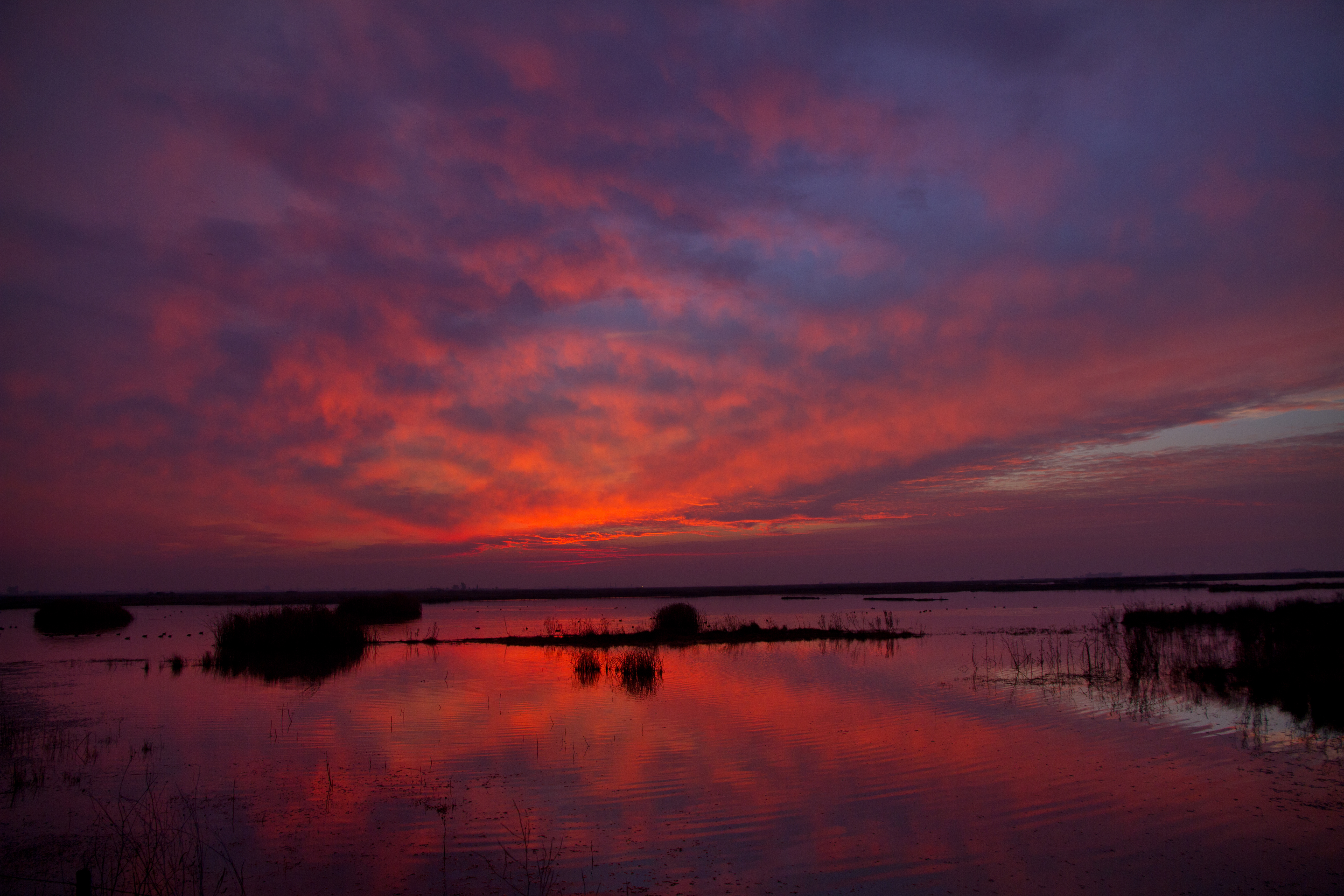
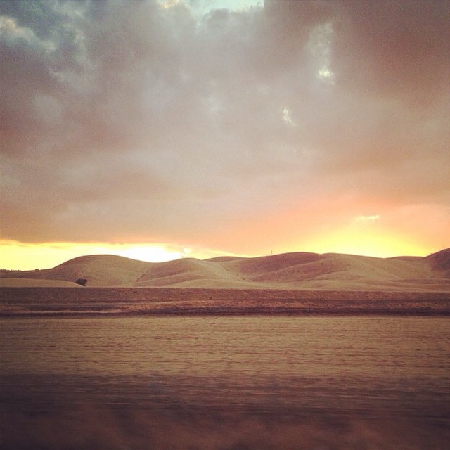
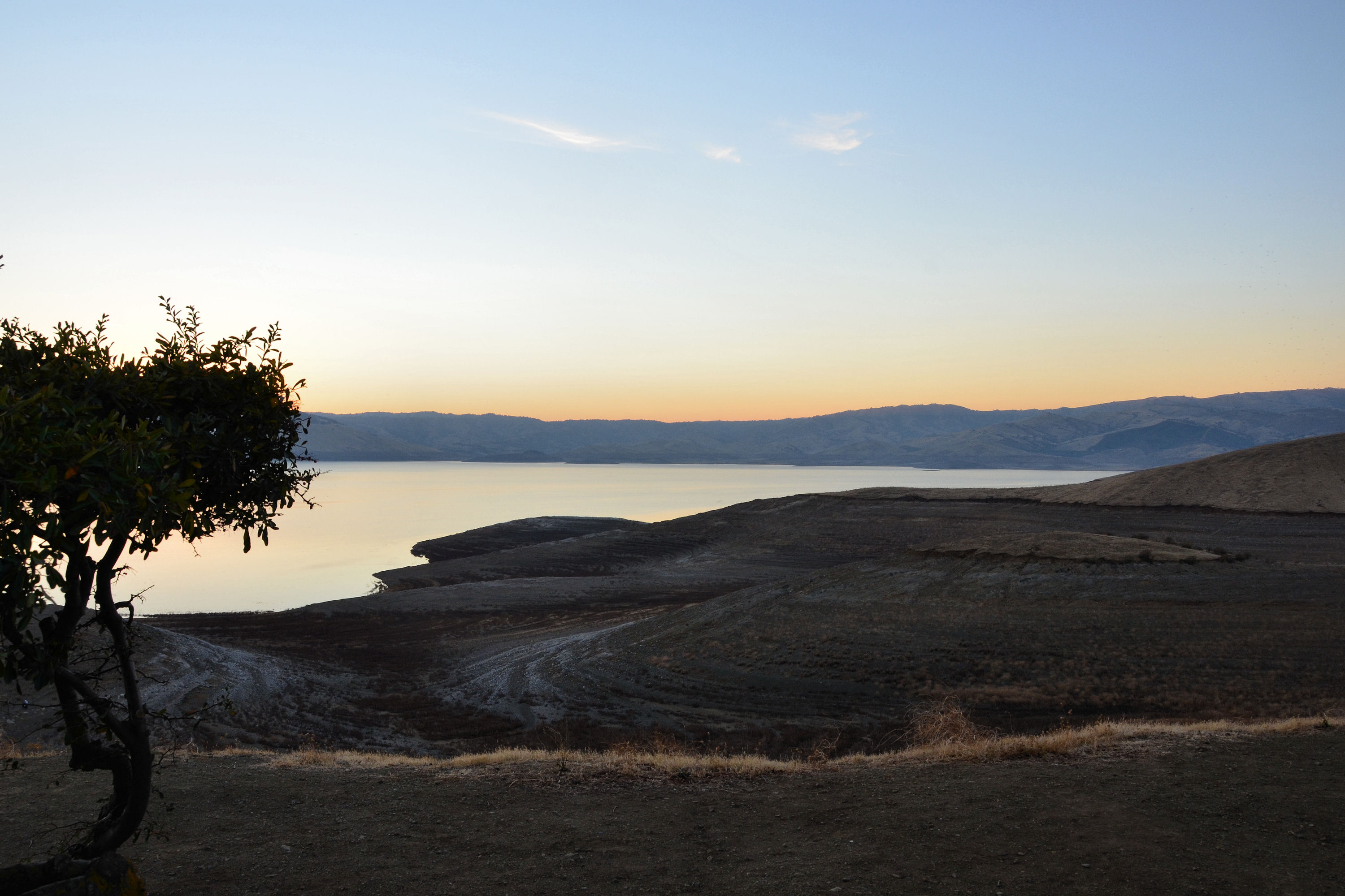
Winter Sunset, Merced County, CA
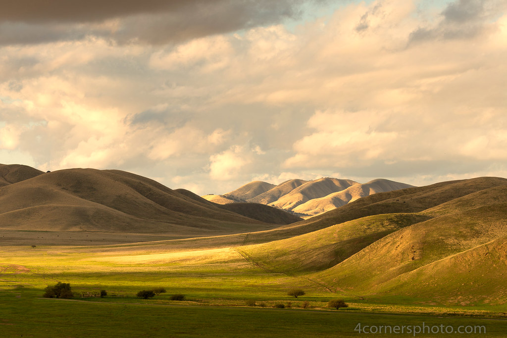
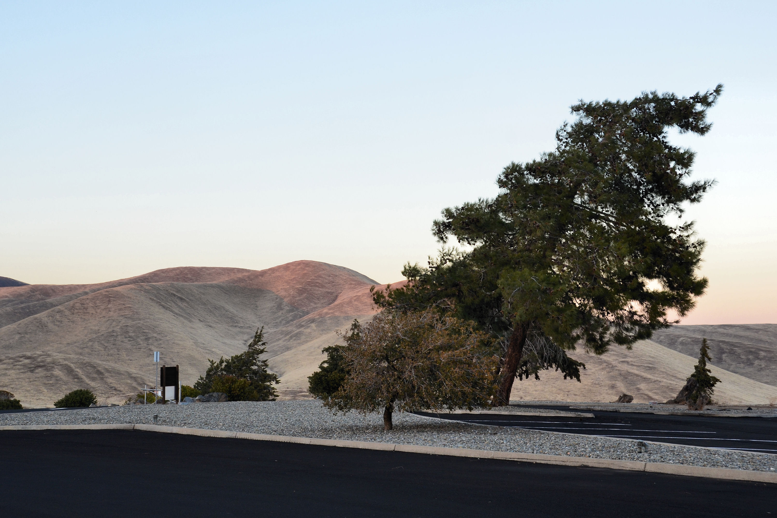
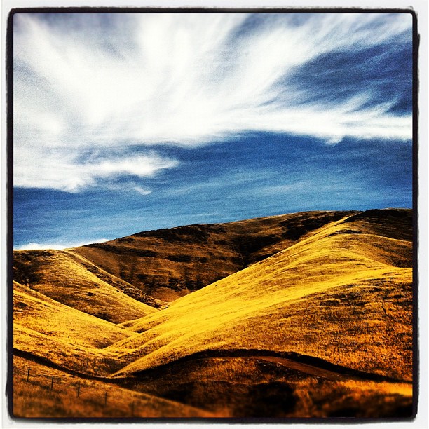
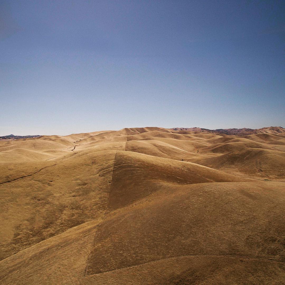
Shadows and Pasture, Merced County, CA

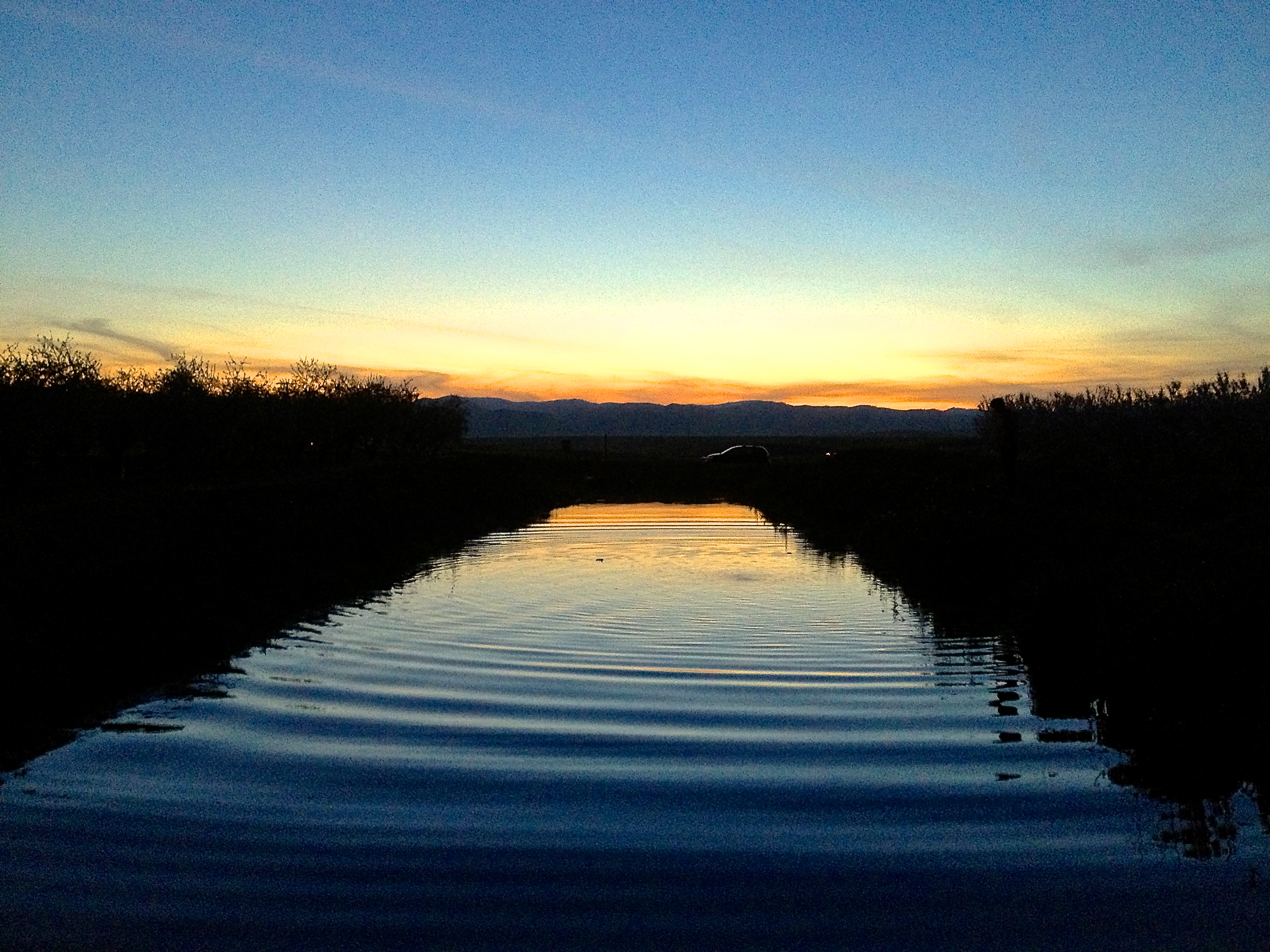
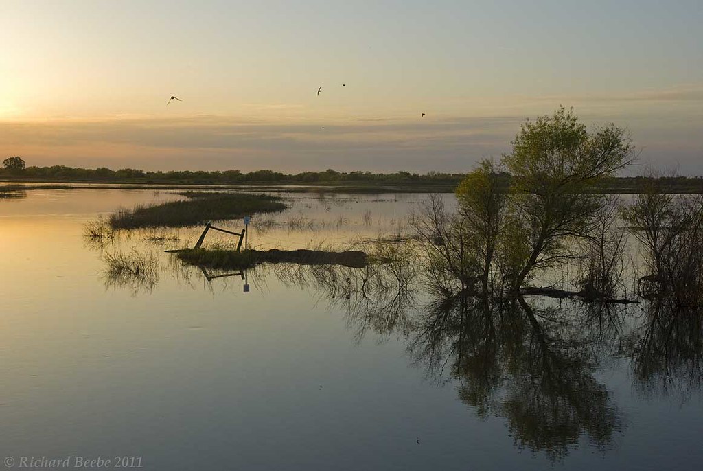
Crepuscular Rays and Wetlands, Merced County, CA

Into the sunset
122113-419F

Red-tailed Hawk Silhouette, Merced County, CA
Traffic is murder out there today! We're only 120 miles out ad still have over 300 to go but at least I can people watch
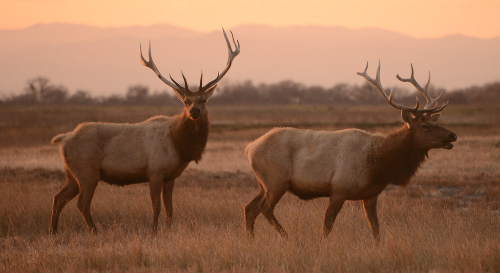
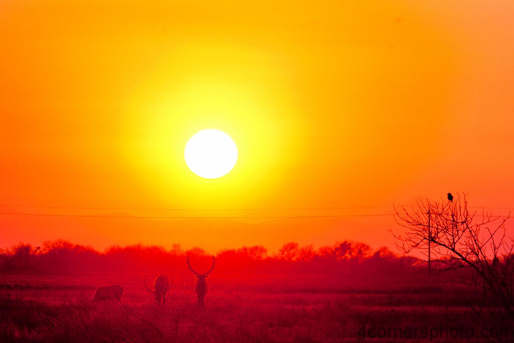
Tule Elk (Cervus canadensis nannodes) at Sunset, San Luis National Wildlife Refuge, California

Double rainbow!!
RB_05-02-11_002a-100_SanLuisNWR
122113-421F

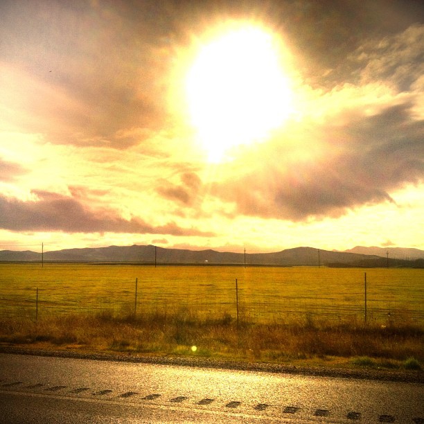
The last of the #sunlight on the #roadtrip and still 280miles to go. #sunset #sky #roadsideattraction #landscape

Almost home

122113-417F

Evening magic #tramonto #sunset
On Fire
California Delicious- Road Trip
honeydew melons
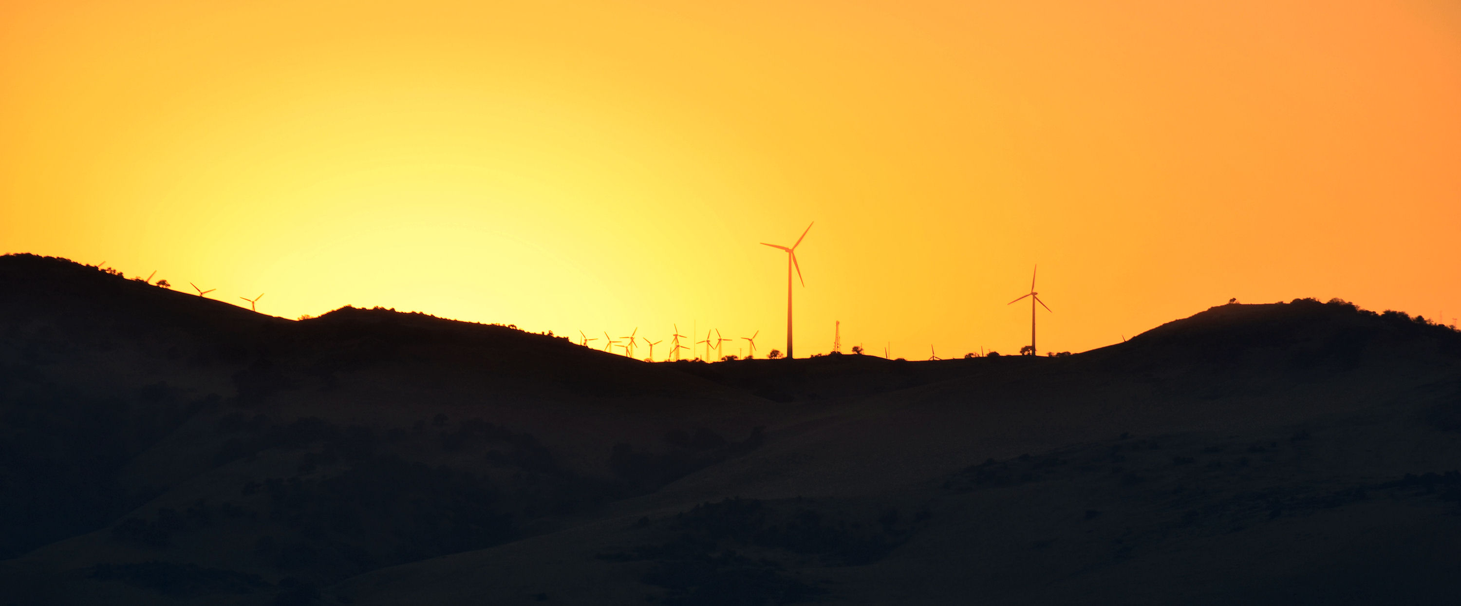
She'll be comin' down the mountain when she comes. Pacheco Pass, CA - returning to SF from Glamping.
122113-424F
122113-426F
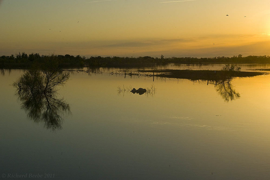
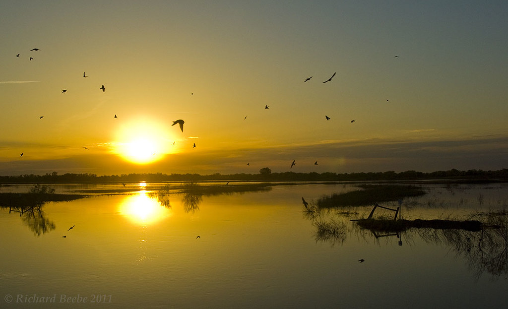
RB_05-02-11_010a-100_SanLuisNWR
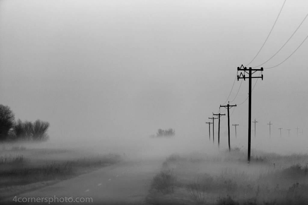
Foggy Morning, Merced County, CA
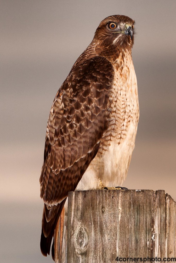
Perched Red-tailed Hawk, Merced County, CA
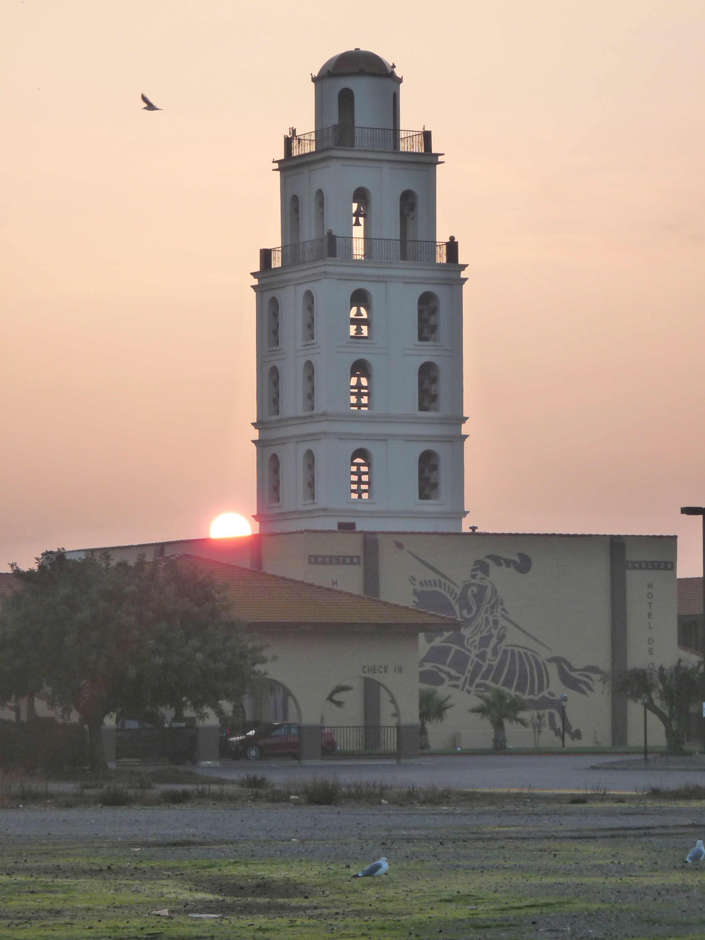
Sunrise Bell Tower
RB_05-02-11_005a-100_SanLuisNWR
Somewhere in the middle of California we pulled the car over to admire the golden, rolling hills. ????????
Mapa de Ingomar Rd, Gustine, CA, EE. UU.
Buscar otro lugar
Lugares cercanos
Ingomar, CA, EE. UU.
Ingomar Rd, Gustine, CA, EE. UU.
Ingomar Grade, Los Banos, CA, EE. UU.
Gustine, California, EE. UU.
CA-33, Gustine, CA, EE. UU.
Newman, California, EE. UU.
Bobolink Ct, Newman, CA, EE. UU.
Parliament Way, Newman, CA, EE. UU.
Fig Ln, Newman, CA, EE. UU.
Anderson Rd, Newman, CA, EE. UU.
Mitchell Rd, Hilmar, CA, EE. UU.
CA-33, Patterson, CA, EE. UU.
S Central Ave, Turlock, CA, EE. UU.
Condado de Stanislaus, California, EE. UU.
Patterson, California, EE. UU.
Diablo Grande Parkway, Diablo Grande Pkwy, Patterson, CA, EE. UU.
Cabernet Ct, Patterson, CA, EE. UU.
Diablo Grande Golf & Country Club, Morton Davis Dr, Patterson, CA, EE. UU.
Loquat Ave, Patterson, CA, EE. UU.
Salmon Creek Ct, Ceres, CA, EE. UU.
Búsquedas recientes
- Horas de salida y puesta de sol de Red Dog Mine, AK, USA
- Horas de salida y puesta de sol de Am Bahnhof, Am bhf, Borken, Germany
- Horas de salida y puesta de sol de 4th St E, Sonoma, CA, EE. UU.
- Horas de salida y puesta de sol de Oakland Ave, Williamsport, PA, EE. UU.
- Horas de salida y puesta de sol de Via Roma, Pieranica CR, Italia
- Horas de salida y puesta de sol de Torre del reloj, Grad, Dubrovnik (Ragusa), Croacia
- Horas de salida y puesta de sol de Trelew, Chubut, Argentina
- Horas de salida y puesta de sol de Hartfords Bluff Cir, Mt Pleasant, SC, EE. UU.
- Horas de salida y puesta de sol de Kita Ward, Kumamoto, Japón
- Horas de salida y puesta de sol de Pingtan Island, Pingtan County, Fuzhou, China