Horas de salida y puesta de sol de Horseshoe Bend, Utah, EE. UU.
Location: Estados Unidos > Utah > Condado de Emery >
Zona horaria:
America/Denver
Hora local:
2025-06-19 22:28:26
Longitud:
-110.7423853
Latitud:
38.8908064
Salida de sol de hoy:
05:57:47 AM
Puesta de sol de hoy:
08:51:40 PM
La duración del día hoy:
14h 53m 53s
Salida de sol de mañana:
05:58:01 AM
Puesta de sol de mañana:
08:51:53 PM
La duración del día mañana:
14h 53m 52s
Mostrar todas las fechas
| Fecha | Salida de sol | Puesta de sol | Duración del día |
|---|---|---|---|
| 01/01/2025 | 07:41:37 AM | 05:12:43 PM | 9h 31m 6s |
| 02/01/2025 | 07:41:41 AM | 05:13:34 PM | 9h 31m 53s |
| 03/01/2025 | 07:41:43 AM | 05:14:26 PM | 9h 32m 43s |
| 04/01/2025 | 07:41:42 AM | 05:15:20 PM | 9h 33m 38s |
| 05/01/2025 | 07:41:40 AM | 05:16:15 PM | 9h 34m 35s |
| 06/01/2025 | 07:41:36 AM | 05:17:11 PM | 9h 35m 35s |
| 07/01/2025 | 07:41:29 AM | 05:18:08 PM | 9h 36m 39s |
| 08/01/2025 | 07:41:20 AM | 05:19:06 PM | 9h 37m 46s |
| 09/01/2025 | 07:41:09 AM | 05:20:06 PM | 9h 38m 57s |
| 10/01/2025 | 07:40:56 AM | 05:21:06 PM | 9h 40m 10s |
| 11/01/2025 | 07:40:41 AM | 05:22:07 PM | 9h 41m 26s |
| 12/01/2025 | 07:40:24 AM | 05:23:09 PM | 9h 42m 45s |
| 13/01/2025 | 07:40:04 AM | 05:24:12 PM | 9h 44m 8s |
| 14/01/2025 | 07:39:43 AM | 05:25:16 PM | 9h 45m 33s |
| 15/01/2025 | 07:39:19 AM | 05:26:20 PM | 9h 47m 1s |
| 16/01/2025 | 07:38:54 AM | 05:27:25 PM | 9h 48m 31s |
| 17/01/2025 | 07:38:26 AM | 05:28:31 PM | 9h 50m 5s |
| 18/01/2025 | 07:37:56 AM | 05:29:37 PM | 9h 51m 41s |
| 19/01/2025 | 07:37:25 AM | 05:30:44 PM | 9h 53m 19s |
| 20/01/2025 | 07:36:51 AM | 05:31:51 PM | 9h 55m 0s |
| 21/01/2025 | 07:36:16 AM | 05:32:59 PM | 9h 56m 43s |
| 22/01/2025 | 07:35:38 AM | 05:34:07 PM | 9h 58m 29s |
| 23/01/2025 | 07:34:59 AM | 05:35:15 PM | 10h 0m 16s |
| 24/01/2025 | 07:34:17 AM | 05:36:24 PM | 10h 2m 7s |
| 25/01/2025 | 07:33:34 AM | 05:37:33 PM | 10h 3m 59s |
| 26/01/2025 | 07:32:49 AM | 05:38:42 PM | 10h 5m 53s |
| 27/01/2025 | 07:32:03 AM | 05:39:51 PM | 10h 7m 48s |
| 28/01/2025 | 07:31:14 AM | 05:41:00 PM | 10h 9m 46s |
| 29/01/2025 | 07:30:24 AM | 05:42:10 PM | 10h 11m 46s |
| 30/01/2025 | 07:29:32 AM | 05:43:19 PM | 10h 13m 47s |
| 31/01/2025 | 07:28:38 AM | 05:44:29 PM | 10h 15m 51s |
| 01/02/2025 | 07:27:43 AM | 05:45:39 PM | 10h 17m 56s |
| 02/02/2025 | 07:26:46 AM | 05:46:48 PM | 10h 20m 2s |
| 03/02/2025 | 07:25:48 AM | 05:47:58 PM | 10h 22m 10s |
| 04/02/2025 | 07:24:48 AM | 05:49:07 PM | 10h 24m 19s |
| 05/02/2025 | 07:23:47 AM | 05:50:16 PM | 10h 26m 29s |
| 06/02/2025 | 07:22:44 AM | 05:51:26 PM | 10h 28m 42s |
| 07/02/2025 | 07:21:39 AM | 05:52:35 PM | 10h 30m 56s |
| 08/02/2025 | 07:20:34 AM | 05:53:44 PM | 10h 33m 10s |
| 09/02/2025 | 07:19:27 AM | 05:54:52 PM | 10h 35m 25s |
| 10/02/2025 | 07:18:18 AM | 05:56:01 PM | 10h 37m 43s |
| 11/02/2025 | 07:17:08 AM | 05:57:09 PM | 10h 40m 1s |
| 12/02/2025 | 07:15:57 AM | 05:58:17 PM | 10h 42m 20s |
| 13/02/2025 | 07:14:45 AM | 05:59:25 PM | 10h 44m 40s |
| 14/02/2025 | 07:13:32 AM | 06:00:32 PM | 10h 47m 0s |
| 15/02/2025 | 07:12:17 AM | 06:01:40 PM | 10h 49m 23s |
| 16/02/2025 | 07:11:01 AM | 06:02:47 PM | 10h 51m 46s |
| 17/02/2025 | 07:09:45 AM | 06:03:53 PM | 10h 54m 8s |
| 18/02/2025 | 07:08:27 AM | 06:05:00 PM | 10h 56m 33s |
| 19/02/2025 | 07:07:08 AM | 06:06:06 PM | 10h 58m 58s |
| 20/02/2025 | 07:05:48 AM | 06:07:11 PM | 11h 1m 23s |
| 21/02/2025 | 07:04:27 AM | 06:08:17 PM | 11h 3m 50s |
| 22/02/2025 | 07:03:06 AM | 06:09:22 PM | 11h 6m 16s |
| 23/02/2025 | 07:01:43 AM | 06:10:27 PM | 11h 8m 44s |
| 24/02/2025 | 07:00:19 AM | 06:11:31 PM | 11h 11m 12s |
| 25/02/2025 | 06:58:55 AM | 06:12:36 PM | 11h 13m 41s |
| 26/02/2025 | 06:57:30 AM | 06:13:40 PM | 11h 16m 10s |
| 27/02/2025 | 06:56:04 AM | 06:14:43 PM | 11h 18m 39s |
| 28/02/2025 | 06:54:38 AM | 06:15:47 PM | 11h 21m 9s |
| 01/03/2025 | 06:53:10 AM | 06:16:50 PM | 11h 23m 40s |
| 02/03/2025 | 06:51:42 AM | 06:17:52 PM | 11h 26m 10s |
| 03/03/2025 | 06:50:14 AM | 06:18:55 PM | 11h 28m 41s |
| 04/03/2025 | 06:48:45 AM | 06:19:57 PM | 11h 31m 12s |
| 05/03/2025 | 06:47:15 AM | 06:20:59 PM | 11h 33m 44s |
| 06/03/2025 | 06:45:45 AM | 06:22:00 PM | 11h 36m 15s |
| 07/03/2025 | 06:44:14 AM | 06:23:01 PM | 11h 38m 47s |
| 08/03/2025 | 06:42:43 AM | 06:24:03 PM | 11h 41m 20s |
| 09/03/2025 | 07:41:15 AM | 07:25:01 PM | 11h 43m 46s |
| 10/03/2025 | 07:39:43 AM | 07:26:01 PM | 11h 46m 18s |
| 11/03/2025 | 07:38:11 AM | 07:27:02 PM | 11h 48m 51s |
| 12/03/2025 | 07:36:38 AM | 07:28:02 PM | 11h 51m 24s |
| 13/03/2025 | 07:35:05 AM | 07:29:02 PM | 11h 53m 57s |
| 14/03/2025 | 07:33:32 AM | 07:30:01 PM | 11h 56m 29s |
| 15/03/2025 | 07:31:58 AM | 07:31:01 PM | 11h 59m 3s |
| 16/03/2025 | 07:30:25 AM | 07:32:00 PM | 12h 1m 35s |
| 17/03/2025 | 07:28:51 AM | 07:32:59 PM | 12h 4m 8s |
| 18/03/2025 | 07:27:17 AM | 07:33:58 PM | 12h 6m 41s |
| 19/03/2025 | 07:25:42 AM | 07:34:57 PM | 12h 9m 15s |
| 20/03/2025 | 07:24:08 AM | 07:35:56 PM | 12h 11m 48s |
| 21/03/2025 | 07:22:34 AM | 07:36:54 PM | 12h 14m 20s |
| 22/03/2025 | 07:20:59 AM | 07:37:53 PM | 12h 16m 54s |
| 23/03/2025 | 07:19:25 AM | 07:38:51 PM | 12h 19m 26s |
| 24/03/2025 | 07:17:51 AM | 07:39:49 PM | 12h 21m 58s |
| 25/03/2025 | 07:16:16 AM | 07:40:47 PM | 12h 24m 31s |
| 26/03/2025 | 07:14:42 AM | 07:41:45 PM | 12h 27m 3s |
| 27/03/2025 | 07:13:08 AM | 07:42:43 PM | 12h 29m 35s |
| 28/03/2025 | 07:11:34 AM | 07:43:41 PM | 12h 32m 7s |
| 29/03/2025 | 07:10:00 AM | 07:44:39 PM | 12h 34m 39s |
| 30/03/2025 | 07:08:27 AM | 07:45:37 PM | 12h 37m 10s |
| 31/03/2025 | 07:06:53 AM | 07:46:34 PM | 12h 39m 41s |
| 01/04/2025 | 07:05:20 AM | 07:47:32 PM | 12h 42m 12s |
| 02/04/2025 | 07:03:47 AM | 07:48:30 PM | 12h 44m 43s |
| 03/04/2025 | 07:02:15 AM | 07:49:28 PM | 12h 47m 13s |
| 04/04/2025 | 07:00:43 AM | 07:50:25 PM | 12h 49m 42s |
| 05/04/2025 | 06:59:11 AM | 07:51:23 PM | 12h 52m 12s |
| 06/04/2025 | 06:57:40 AM | 07:52:21 PM | 12h 54m 41s |
| 07/04/2025 | 06:56:09 AM | 07:53:18 PM | 12h 57m 9s |
| 08/04/2025 | 06:54:38 AM | 07:54:16 PM | 12h 59m 38s |
| 09/04/2025 | 06:53:09 AM | 07:55:14 PM | 13h 2m 5s |
| 10/04/2025 | 06:51:39 AM | 07:56:12 PM | 13h 4m 33s |
| 11/04/2025 | 06:50:10 AM | 07:57:09 PM | 13h 6m 59s |
| 12/04/2025 | 06:48:42 AM | 07:58:07 PM | 13h 9m 25s |
| 13/04/2025 | 06:47:15 AM | 07:59:05 PM | 13h 11m 50s |
| 14/04/2025 | 06:45:48 AM | 08:00:03 PM | 13h 14m 15s |
| 15/04/2025 | 06:44:22 AM | 08:01:01 PM | 13h 16m 39s |
| 16/04/2025 | 06:42:56 AM | 08:01:59 PM | 13h 19m 3s |
| 17/04/2025 | 06:41:32 AM | 08:02:57 PM | 13h 21m 25s |
| 18/04/2025 | 06:40:08 AM | 08:03:55 PM | 13h 23m 47s |
| 19/04/2025 | 06:38:44 AM | 08:04:53 PM | 13h 26m 9s |
| 20/04/2025 | 06:37:22 AM | 08:05:51 PM | 13h 28m 29s |
| 21/04/2025 | 06:36:01 AM | 08:06:49 PM | 13h 30m 48s |
| 22/04/2025 | 06:34:40 AM | 08:07:47 PM | 13h 33m 7s |
| 23/04/2025 | 06:33:21 AM | 08:08:45 PM | 13h 35m 24s |
| 24/04/2025 | 06:32:02 AM | 08:09:43 PM | 13h 37m 41s |
| 25/04/2025 | 06:30:44 AM | 08:10:41 PM | 13h 39m 57s |
| 26/04/2025 | 06:29:28 AM | 08:11:40 PM | 13h 42m 12s |
| 27/04/2025 | 06:28:12 AM | 08:12:38 PM | 13h 44m 26s |
| 28/04/2025 | 06:26:58 AM | 08:13:35 PM | 13h 46m 37s |
| 29/04/2025 | 06:25:45 AM | 08:14:33 PM | 13h 48m 48s |
| 30/04/2025 | 06:24:33 AM | 08:15:31 PM | 13h 50m 58s |
| 01/05/2025 | 06:23:22 AM | 08:16:29 PM | 13h 53m 7s |
| 02/05/2025 | 06:22:12 AM | 08:17:26 PM | 13h 55m 14s |
| 03/05/2025 | 06:21:03 AM | 08:18:24 PM | 13h 57m 21s |
| 04/05/2025 | 06:19:56 AM | 08:19:21 PM | 13h 59m 25s |
| 05/05/2025 | 06:18:50 AM | 08:20:18 PM | 14h 1m 28s |
| 06/05/2025 | 06:17:45 AM | 08:21:15 PM | 14h 3m 30s |
| 07/05/2025 | 06:16:42 AM | 08:22:12 PM | 14h 5m 30s |
| 08/05/2025 | 06:15:40 AM | 08:23:08 PM | 14h 7m 28s |
| 09/05/2025 | 06:14:40 AM | 08:24:04 PM | 14h 9m 24s |
| 10/05/2025 | 06:13:41 AM | 08:25:00 PM | 14h 11m 19s |
| 11/05/2025 | 06:12:43 AM | 08:25:56 PM | 14h 13m 13s |
| 12/05/2025 | 06:11:47 AM | 08:26:51 PM | 14h 15m 4s |
| 13/05/2025 | 06:10:53 AM | 08:27:46 PM | 14h 16m 53s |
| 14/05/2025 | 06:10:00 AM | 08:28:40 PM | 14h 18m 40s |
| 15/05/2025 | 06:09:08 AM | 08:29:34 PM | 14h 20m 26s |
| 16/05/2025 | 06:08:18 AM | 08:30:28 PM | 14h 22m 10s |
| 17/05/2025 | 06:07:30 AM | 08:31:21 PM | 14h 23m 51s |
| 18/05/2025 | 06:06:44 AM | 08:32:13 PM | 14h 25m 29s |
| 19/05/2025 | 06:05:59 AM | 08:33:05 PM | 14h 27m 6s |
| 20/05/2025 | 06:05:15 AM | 08:33:56 PM | 14h 28m 41s |
| 21/05/2025 | 06:04:34 AM | 08:34:47 PM | 14h 30m 13s |
| 22/05/2025 | 06:03:54 AM | 08:35:37 PM | 14h 31m 43s |
| 23/05/2025 | 06:03:16 AM | 08:36:26 PM | 14h 33m 10s |
| 24/05/2025 | 06:02:40 AM | 08:37:14 PM | 14h 34m 34s |
| 25/05/2025 | 06:02:05 AM | 08:38:02 PM | 14h 35m 57s |
| 26/05/2025 | 06:01:33 AM | 08:38:49 PM | 14h 37m 16s |
| 27/05/2025 | 06:01:02 AM | 08:39:34 PM | 14h 38m 32s |
| 28/05/2025 | 06:00:33 AM | 08:40:19 PM | 14h 39m 46s |
| 29/05/2025 | 06:00:05 AM | 08:41:03 PM | 14h 40m 58s |
| 30/05/2025 | 05:59:40 AM | 08:41:46 PM | 14h 42m 6s |
| 31/05/2025 | 05:59:16 AM | 08:42:28 PM | 14h 43m 12s |
| 01/06/2025 | 05:58:55 AM | 08:43:09 PM | 14h 44m 14s |
| 02/06/2025 | 05:58:35 AM | 08:43:49 PM | 14h 45m 14s |
| 03/06/2025 | 05:58:17 AM | 08:44:27 PM | 14h 46m 10s |
| 04/06/2025 | 05:58:01 AM | 08:45:05 PM | 14h 47m 4s |
| 05/06/2025 | 05:57:47 AM | 08:45:41 PM | 14h 47m 54s |
| 06/06/2025 | 05:57:34 AM | 08:46:16 PM | 14h 48m 42s |
| 07/06/2025 | 05:57:24 AM | 08:46:49 PM | 14h 49m 25s |
| 08/06/2025 | 05:57:15 AM | 08:47:21 PM | 14h 50m 6s |
| 09/06/2025 | 05:57:09 AM | 08:47:52 PM | 14h 50m 43s |
| 10/06/2025 | 05:57:04 AM | 08:48:21 PM | 14h 51m 17s |
| 11/06/2025 | 05:57:01 AM | 08:48:49 PM | 14h 51m 48s |
| 12/06/2025 | 05:57:00 AM | 08:49:15 PM | 14h 52m 15s |
| 13/06/2025 | 05:57:00 AM | 08:49:40 PM | 14h 52m 40s |
| 14/06/2025 | 05:57:03 AM | 08:50:03 PM | 14h 53m 0s |
| 15/06/2025 | 05:57:07 AM | 08:50:25 PM | 14h 53m 18s |
| 16/06/2025 | 05:57:13 AM | 08:50:45 PM | 14h 53m 32s |
| 17/06/2025 | 05:57:21 AM | 08:51:03 PM | 14h 53m 42s |
| 18/06/2025 | 05:57:30 AM | 08:51:20 PM | 14h 53m 50s |
| 19/06/2025 | 05:57:42 AM | 08:51:34 PM | 14h 53m 52s |
| 20/06/2025 | 05:57:55 AM | 08:51:48 PM | 14h 53m 53s |
| 21/06/2025 | 05:58:09 AM | 08:51:59 PM | 14h 53m 50s |
| 22/06/2025 | 05:58:26 AM | 08:52:09 PM | 14h 53m 43s |
| 23/06/2025 | 05:58:44 AM | 08:52:16 PM | 14h 53m 32s |
| 24/06/2025 | 05:59:03 AM | 08:52:22 PM | 14h 53m 19s |
| 25/06/2025 | 05:59:24 AM | 08:52:26 PM | 14h 53m 2s |
| 26/06/2025 | 05:59:47 AM | 08:52:29 PM | 14h 52m 42s |
| 27/06/2025 | 06:00:11 AM | 08:52:29 PM | 14h 52m 18s |
| 28/06/2025 | 06:00:37 AM | 08:52:28 PM | 14h 51m 51s |
| 29/06/2025 | 06:01:04 AM | 08:52:24 PM | 14h 51m 20s |
| 30/06/2025 | 06:01:32 AM | 08:52:19 PM | 14h 50m 47s |
| 01/07/2025 | 06:02:02 AM | 08:52:12 PM | 14h 50m 10s |
| 02/07/2025 | 06:02:33 AM | 08:52:03 PM | 14h 49m 30s |
| 03/07/2025 | 06:03:06 AM | 08:51:52 PM | 14h 48m 46s |
| 04/07/2025 | 06:03:39 AM | 08:51:39 PM | 14h 48m 0s |
| 05/07/2025 | 06:04:14 AM | 08:51:24 PM | 14h 47m 10s |
| 06/07/2025 | 06:04:50 AM | 08:51:07 PM | 14h 46m 17s |
| 07/07/2025 | 06:05:27 AM | 08:50:48 PM | 14h 45m 21s |
| 08/07/2025 | 06:06:06 AM | 08:50:28 PM | 14h 44m 22s |
| 09/07/2025 | 06:06:45 AM | 08:50:05 PM | 14h 43m 20s |
| 10/07/2025 | 06:07:25 AM | 08:49:41 PM | 14h 42m 16s |
| 11/07/2025 | 06:08:07 AM | 08:49:15 PM | 14h 41m 8s |
| 12/07/2025 | 06:08:49 AM | 08:48:47 PM | 14h 39m 58s |
| 13/07/2025 | 06:09:32 AM | 08:48:17 PM | 14h 38m 45s |
| 14/07/2025 | 06:10:16 AM | 08:47:45 PM | 14h 37m 29s |
| 15/07/2025 | 06:11:01 AM | 08:47:11 PM | 14h 36m 10s |
| 16/07/2025 | 06:11:47 AM | 08:46:36 PM | 14h 34m 49s |
| 17/07/2025 | 06:12:33 AM | 08:45:58 PM | 14h 33m 25s |
| 18/07/2025 | 06:13:20 AM | 08:45:19 PM | 14h 31m 59s |
| 19/07/2025 | 06:14:08 AM | 08:44:38 PM | 14h 30m 30s |
| 20/07/2025 | 06:14:56 AM | 08:43:56 PM | 14h 29m 0s |
| 21/07/2025 | 06:15:45 AM | 08:43:11 PM | 14h 27m 26s |
| 22/07/2025 | 06:16:34 AM | 08:42:25 PM | 14h 25m 51s |
| 23/07/2025 | 06:17:24 AM | 08:41:37 PM | 14h 24m 13s |
| 24/07/2025 | 06:18:15 AM | 08:40:48 PM | 14h 22m 33s |
| 25/07/2025 | 06:19:06 AM | 08:39:57 PM | 14h 20m 51s |
| 26/07/2025 | 06:19:57 AM | 08:39:04 PM | 14h 19m 7s |
| 27/07/2025 | 06:20:49 AM | 08:38:10 PM | 14h 17m 21s |
| 28/07/2025 | 06:21:41 AM | 08:37:14 PM | 14h 15m 33s |
| 29/07/2025 | 06:22:33 AM | 08:36:17 PM | 14h 13m 44s |
| 30/07/2025 | 06:23:26 AM | 08:35:18 PM | 14h 11m 52s |
| 31/07/2025 | 06:24:19 AM | 08:34:18 PM | 14h 9m 59s |
| 01/08/2025 | 06:25:12 AM | 08:33:16 PM | 14h 8m 4s |
| 02/08/2025 | 06:26:05 AM | 08:32:13 PM | 14h 6m 8s |
| 03/08/2025 | 06:26:59 AM | 08:31:08 PM | 14h 4m 9s |
| 04/08/2025 | 06:27:53 AM | 08:30:02 PM | 14h 2m 9s |
| 05/08/2025 | 06:28:46 AM | 08:28:55 PM | 14h 0m 9s |
| 06/08/2025 | 06:29:40 AM | 08:27:46 PM | 13h 58m 6s |
| 07/08/2025 | 06:30:35 AM | 08:26:36 PM | 13h 56m 1s |
| 08/08/2025 | 06:31:29 AM | 08:25:25 PM | 13h 53m 56s |
| 09/08/2025 | 06:32:23 AM | 08:24:12 PM | 13h 51m 49s |
| 10/08/2025 | 06:33:17 AM | 08:22:59 PM | 13h 49m 42s |
| 11/08/2025 | 06:34:12 AM | 08:21:44 PM | 13h 47m 32s |
| 12/08/2025 | 06:35:06 AM | 08:20:28 PM | 13h 45m 22s |
| 13/08/2025 | 06:36:00 AM | 08:19:11 PM | 13h 43m 11s |
| 14/08/2025 | 06:36:55 AM | 08:17:53 PM | 13h 40m 58s |
| 15/08/2025 | 06:37:49 AM | 08:16:34 PM | 13h 38m 45s |
| 16/08/2025 | 06:38:44 AM | 08:15:14 PM | 13h 36m 30s |
| 17/08/2025 | 06:39:38 AM | 08:13:53 PM | 13h 34m 15s |
| 18/08/2025 | 06:40:32 AM | 08:12:31 PM | 13h 31m 59s |
| 19/08/2025 | 06:41:26 AM | 08:11:08 PM | 13h 29m 42s |
| 20/08/2025 | 06:42:21 AM | 08:09:44 PM | 13h 27m 23s |
| 21/08/2025 | 06:43:15 AM | 08:08:19 PM | 13h 25m 4s |
| 22/08/2025 | 06:44:09 AM | 08:06:54 PM | 13h 22m 45s |
| 23/08/2025 | 06:45:03 AM | 08:05:27 PM | 13h 20m 24s |
| 24/08/2025 | 06:45:57 AM | 08:04:00 PM | 13h 18m 3s |
| 25/08/2025 | 06:46:51 AM | 08:02:32 PM | 13h 15m 41s |
| 26/08/2025 | 06:47:45 AM | 08:01:04 PM | 13h 13m 19s |
| 27/08/2025 | 06:48:38 AM | 07:59:35 PM | 13h 10m 57s |
| 28/08/2025 | 06:49:32 AM | 07:58:05 PM | 13h 8m 33s |
| 29/08/2025 | 06:50:26 AM | 07:56:34 PM | 13h 6m 8s |
| 30/08/2025 | 06:51:19 AM | 07:55:03 PM | 13h 3m 44s |
| 31/08/2025 | 06:52:13 AM | 07:53:31 PM | 13h 1m 18s |
| 01/09/2025 | 06:53:06 AM | 07:51:59 PM | 12h 58m 53s |
| 02/09/2025 | 06:54:00 AM | 07:50:27 PM | 12h 56m 27s |
| 03/09/2025 | 06:54:53 AM | 07:48:54 PM | 12h 54m 1s |
| 04/09/2025 | 06:55:47 AM | 07:47:20 PM | 12h 51m 33s |
| 05/09/2025 | 06:56:40 AM | 07:45:46 PM | 12h 49m 6s |
| 06/09/2025 | 06:57:33 AM | 07:44:12 PM | 12h 46m 39s |
| 07/09/2025 | 06:58:27 AM | 07:42:37 PM | 12h 44m 10s |
| 08/09/2025 | 06:59:20 AM | 07:41:02 PM | 12h 41m 42s |
| 09/09/2025 | 07:00:13 AM | 07:39:27 PM | 12h 39m 14s |
| 10/09/2025 | 07:01:07 AM | 07:37:51 PM | 12h 36m 44s |
| 11/09/2025 | 07:02:00 AM | 07:36:15 PM | 12h 34m 15s |
| 12/09/2025 | 07:02:53 AM | 07:34:39 PM | 12h 31m 46s |
| 13/09/2025 | 07:03:47 AM | 07:33:03 PM | 12h 29m 16s |
| 14/09/2025 | 07:04:40 AM | 07:31:27 PM | 12h 26m 47s |
| 15/09/2025 | 07:05:34 AM | 07:29:50 PM | 12h 24m 16s |
| 16/09/2025 | 07:06:27 AM | 07:28:14 PM | 12h 21m 47s |
| 17/09/2025 | 07:07:21 AM | 07:26:37 PM | 12h 19m 16s |
| 18/09/2025 | 07:08:15 AM | 07:25:01 PM | 12h 16m 46s |
| 19/09/2025 | 07:09:09 AM | 07:23:24 PM | 12h 14m 15s |
| 20/09/2025 | 07:10:03 AM | 07:21:48 PM | 12h 11m 45s |
| 21/09/2025 | 07:10:57 AM | 07:20:11 PM | 12h 9m 14s |
| 22/09/2025 | 07:11:51 AM | 07:18:35 PM | 12h 6m 44s |
| 23/09/2025 | 07:12:45 AM | 07:16:58 PM | 12h 4m 13s |
| 24/09/2025 | 07:13:40 AM | 07:15:22 PM | 12h 1m 42s |
| 25/09/2025 | 07:14:35 AM | 07:13:46 PM | 11h 59m 11s |
| 26/09/2025 | 07:15:30 AM | 07:12:11 PM | 11h 56m 41s |
| 27/09/2025 | 07:16:25 AM | 07:10:35 PM | 11h 54m 10s |
| 28/09/2025 | 07:17:20 AM | 07:09:00 PM | 11h 51m 40s |
| 29/09/2025 | 07:18:16 AM | 07:07:25 PM | 11h 49m 9s |
| 30/09/2025 | 07:19:12 AM | 07:05:50 PM | 11h 46m 38s |
| 01/10/2025 | 07:20:08 AM | 07:04:16 PM | 11h 44m 8s |
| 02/10/2025 | 07:21:04 AM | 07:02:42 PM | 11h 41m 38s |
| 03/10/2025 | 07:22:00 AM | 07:01:09 PM | 11h 39m 9s |
| 04/10/2025 | 07:22:57 AM | 06:59:36 PM | 11h 36m 39s |
| 05/10/2025 | 07:23:54 AM | 06:58:04 PM | 11h 34m 10s |
| 06/10/2025 | 07:24:52 AM | 06:56:32 PM | 11h 31m 40s |
| 07/10/2025 | 07:25:49 AM | 06:55:00 PM | 11h 29m 11s |
| 08/10/2025 | 07:26:47 AM | 06:53:29 PM | 11h 26m 42s |
| 09/10/2025 | 07:27:45 AM | 06:51:59 PM | 11h 24m 14s |
| 10/10/2025 | 07:28:44 AM | 06:50:30 PM | 11h 21m 46s |
| 11/10/2025 | 07:29:43 AM | 06:49:01 PM | 11h 19m 18s |
| 12/10/2025 | 07:30:42 AM | 06:47:32 PM | 11h 16m 50s |
| 13/10/2025 | 07:31:42 AM | 06:46:05 PM | 11h 14m 23s |
| 14/10/2025 | 07:32:42 AM | 06:44:38 PM | 11h 11m 56s |
| 15/10/2025 | 07:33:42 AM | 06:43:12 PM | 11h 9m 30s |
| 16/10/2025 | 07:34:42 AM | 06:41:47 PM | 11h 7m 5s |
| 17/10/2025 | 07:35:43 AM | 06:40:23 PM | 11h 4m 40s |
| 18/10/2025 | 07:36:44 AM | 06:39:00 PM | 11h 2m 16s |
| 19/10/2025 | 07:37:46 AM | 06:37:38 PM | 10h 59m 52s |
| 20/10/2025 | 07:38:48 AM | 06:36:16 PM | 10h 57m 28s |
| 21/10/2025 | 07:39:50 AM | 06:34:56 PM | 10h 55m 6s |
| 22/10/2025 | 07:40:53 AM | 06:33:37 PM | 10h 52m 44s |
| 23/10/2025 | 07:41:56 AM | 06:32:18 PM | 10h 50m 22s |
| 24/10/2025 | 07:42:59 AM | 06:31:01 PM | 10h 48m 2s |
| 25/10/2025 | 07:44:02 AM | 06:29:45 PM | 10h 45m 43s |
| 26/10/2025 | 07:45:06 AM | 06:28:30 PM | 10h 43m 24s |
| 27/10/2025 | 07:46:10 AM | 06:27:17 PM | 10h 41m 7s |
| 28/10/2025 | 07:47:15 AM | 06:26:04 PM | 10h 38m 49s |
| 29/10/2025 | 07:48:19 AM | 06:24:53 PM | 10h 36m 34s |
| 30/10/2025 | 07:49:24 AM | 06:23:43 PM | 10h 34m 19s |
| 31/10/2025 | 07:50:29 AM | 06:22:35 PM | 10h 32m 6s |
| 01/11/2025 | 07:51:35 AM | 06:21:28 PM | 10h 29m 53s |
| 02/11/2025 | 06:52:43 AM | 05:20:19 PM | 10h 27m 36s |
| 03/11/2025 | 06:53:49 AM | 05:19:15 PM | 10h 25m 26s |
| 04/11/2025 | 06:54:55 AM | 05:18:13 PM | 10h 23m 18s |
| 05/11/2025 | 06:56:01 AM | 05:17:11 PM | 10h 21m 10s |
| 06/11/2025 | 06:57:07 AM | 05:16:12 PM | 10h 19m 5s |
| 07/11/2025 | 06:58:14 AM | 05:15:14 PM | 10h 17m 0s |
| 08/11/2025 | 06:59:20 AM | 05:14:17 PM | 10h 14m 57s |
| 09/11/2025 | 07:00:26 AM | 05:13:23 PM | 10h 12m 57s |
| 10/11/2025 | 07:01:33 AM | 05:12:30 PM | 10h 10m 57s |
| 11/11/2025 | 07:02:39 AM | 05:11:38 PM | 10h 8m 59s |
| 12/11/2025 | 07:03:46 AM | 05:10:49 PM | 10h 7m 3s |
| 13/11/2025 | 07:04:52 AM | 05:10:01 PM | 10h 5m 9s |
| 14/11/2025 | 07:05:58 AM | 05:09:15 PM | 10h 3m 17s |
| 15/11/2025 | 07:07:04 AM | 05:08:31 PM | 10h 1m 27s |
| 16/11/2025 | 07:08:10 AM | 05:07:48 PM | 9h 59m 38s |
| 17/11/2025 | 07:09:16 AM | 05:07:08 PM | 9h 57m 52s |
| 18/11/2025 | 07:10:21 AM | 05:06:29 PM | 9h 56m 8s |
| 19/11/2025 | 07:11:26 AM | 05:05:53 PM | 9h 54m 27s |
| 20/11/2025 | 07:12:31 AM | 05:05:18 PM | 9h 52m 47s |
| 21/11/2025 | 07:13:35 AM | 05:04:46 PM | 9h 51m 11s |
| 22/11/2025 | 07:14:39 AM | 05:04:15 PM | 9h 49m 36s |
| 23/11/2025 | 07:15:42 AM | 05:03:46 PM | 9h 48m 4s |
| 24/11/2025 | 07:16:45 AM | 05:03:20 PM | 9h 46m 35s |
| 25/11/2025 | 07:17:47 AM | 05:02:56 PM | 9h 45m 9s |
| 26/11/2025 | 07:18:49 AM | 05:02:33 PM | 9h 43m 44s |
| 27/11/2025 | 07:19:50 AM | 05:02:13 PM | 9h 42m 23s |
| 28/11/2025 | 07:20:50 AM | 05:01:55 PM | 9h 41m 5s |
| 29/11/2025 | 07:21:49 AM | 05:01:39 PM | 9h 39m 50s |
| 30/11/2025 | 07:22:48 AM | 05:01:26 PM | 9h 38m 38s |
| 01/12/2025 | 07:23:45 AM | 05:01:14 PM | 9h 37m 29s |
| 02/12/2025 | 07:24:42 AM | 05:01:05 PM | 9h 36m 23s |
| 03/12/2025 | 07:25:37 AM | 05:00:58 PM | 9h 35m 21s |
| 04/12/2025 | 07:26:32 AM | 05:00:53 PM | 9h 34m 21s |
| 05/12/2025 | 07:27:25 AM | 05:00:50 PM | 9h 33m 25s |
| 06/12/2025 | 07:28:18 AM | 05:00:49 PM | 9h 32m 31s |
| 07/12/2025 | 07:29:09 AM | 05:00:51 PM | 9h 31m 42s |
| 08/12/2025 | 07:29:58 AM | 05:00:54 PM | 9h 30m 56s |
| 09/12/2025 | 07:30:47 AM | 05:01:00 PM | 9h 30m 13s |
| 10/12/2025 | 07:31:34 AM | 05:01:08 PM | 9h 29m 34s |
| 11/12/2025 | 07:32:20 AM | 05:01:19 PM | 9h 28m 59s |
| 12/12/2025 | 07:33:04 AM | 05:01:31 PM | 9h 28m 27s |
| 13/12/2025 | 07:33:46 AM | 05:01:46 PM | 9h 28m 0s |
| 14/12/2025 | 07:34:28 AM | 05:02:02 PM | 9h 27m 34s |
| 15/12/2025 | 07:35:07 AM | 05:02:21 PM | 9h 27m 14s |
| 16/12/2025 | 07:35:45 AM | 05:02:42 PM | 9h 26m 57s |
| 17/12/2025 | 07:36:21 AM | 05:03:05 PM | 9h 26m 44s |
| 18/12/2025 | 07:36:55 AM | 05:03:29 PM | 9h 26m 34s |
| 19/12/2025 | 07:37:28 AM | 05:03:56 PM | 9h 26m 28s |
| 20/12/2025 | 07:37:59 AM | 05:04:25 PM | 9h 26m 26s |
| 21/12/2025 | 07:38:28 AM | 05:04:56 PM | 9h 26m 28s |
| 22/12/2025 | 07:38:55 AM | 05:05:29 PM | 9h 26m 34s |
| 23/12/2025 | 07:39:20 AM | 05:06:03 PM | 9h 26m 43s |
| 24/12/2025 | 07:39:43 AM | 05:06:39 PM | 9h 26m 56s |
| 25/12/2025 | 07:40:04 AM | 05:07:17 PM | 9h 27m 13s |
| 26/12/2025 | 07:40:23 AM | 05:07:57 PM | 9h 27m 34s |
| 27/12/2025 | 07:40:40 AM | 05:08:39 PM | 9h 27m 59s |
| 28/12/2025 | 07:40:56 AM | 05:09:22 PM | 9h 28m 26s |
| 29/12/2025 | 07:41:09 AM | 05:10:07 PM | 9h 28m 58s |
| 30/12/2025 | 07:41:20 AM | 05:10:53 PM | 9h 29m 33s |
| 31/12/2025 | 07:41:28 AM | 05:11:41 PM | 9h 30m 13s |
Fotos

Utah Sunset
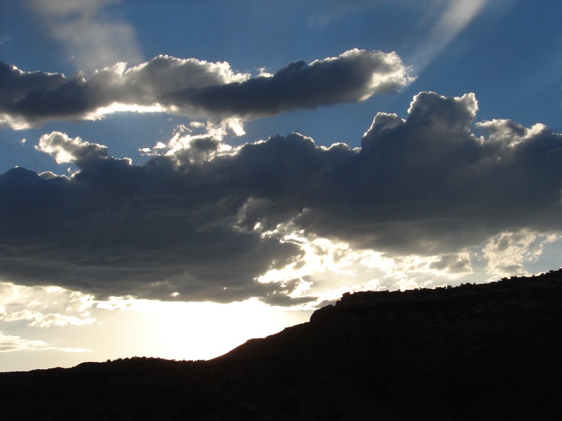
Rays of Light
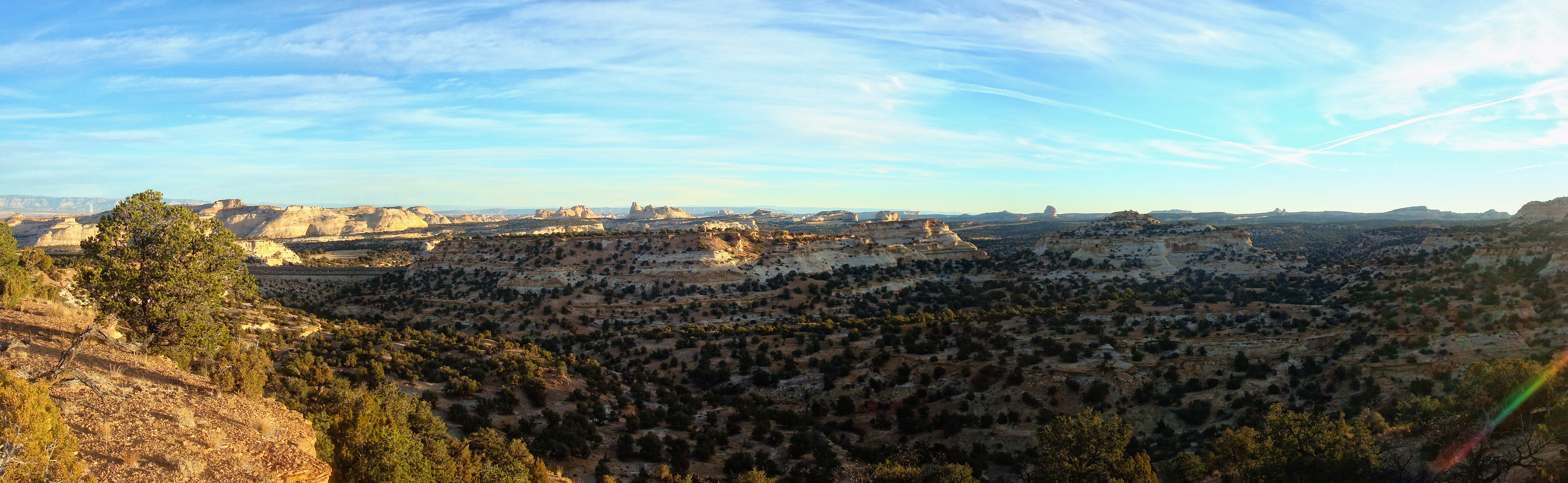
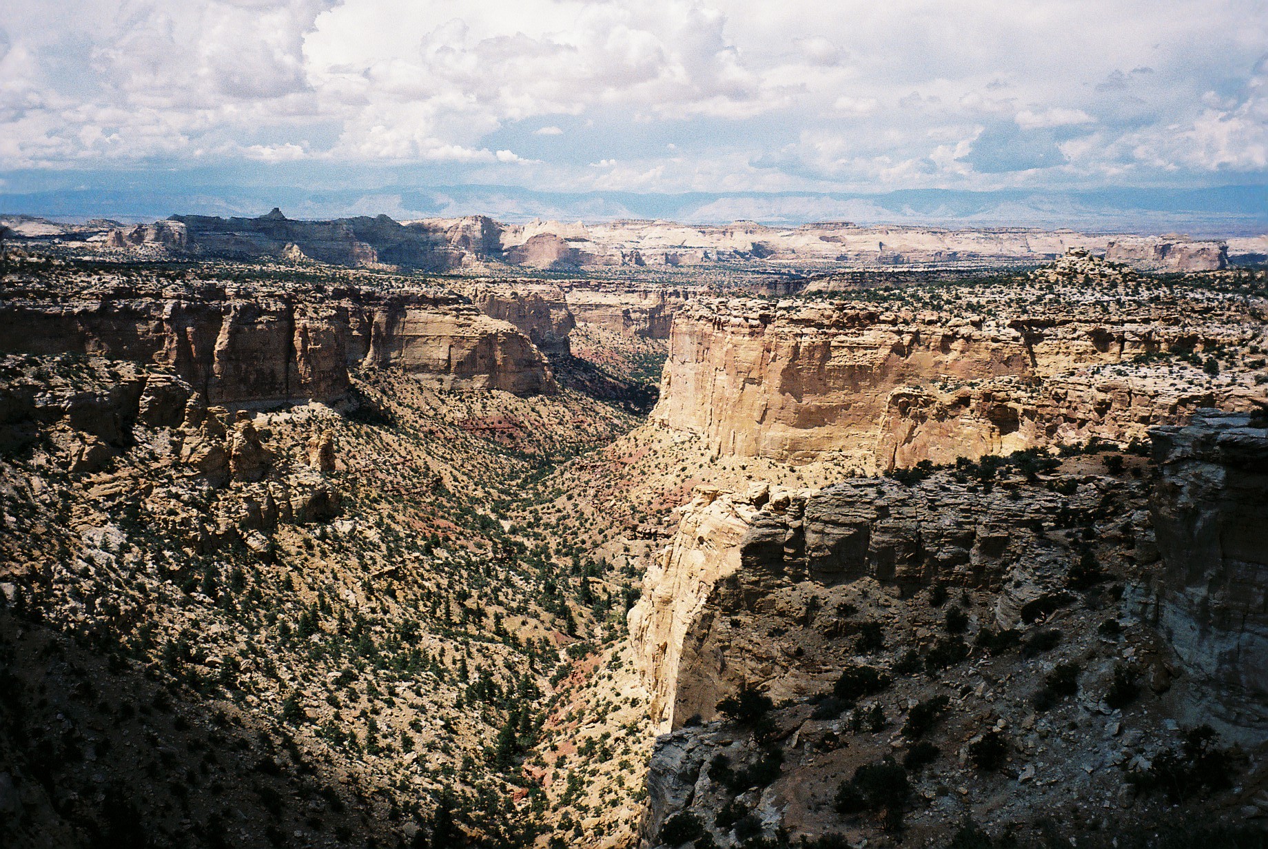
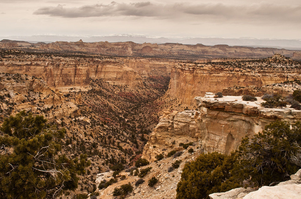
Overview of Eagle Canyon at Sunrise

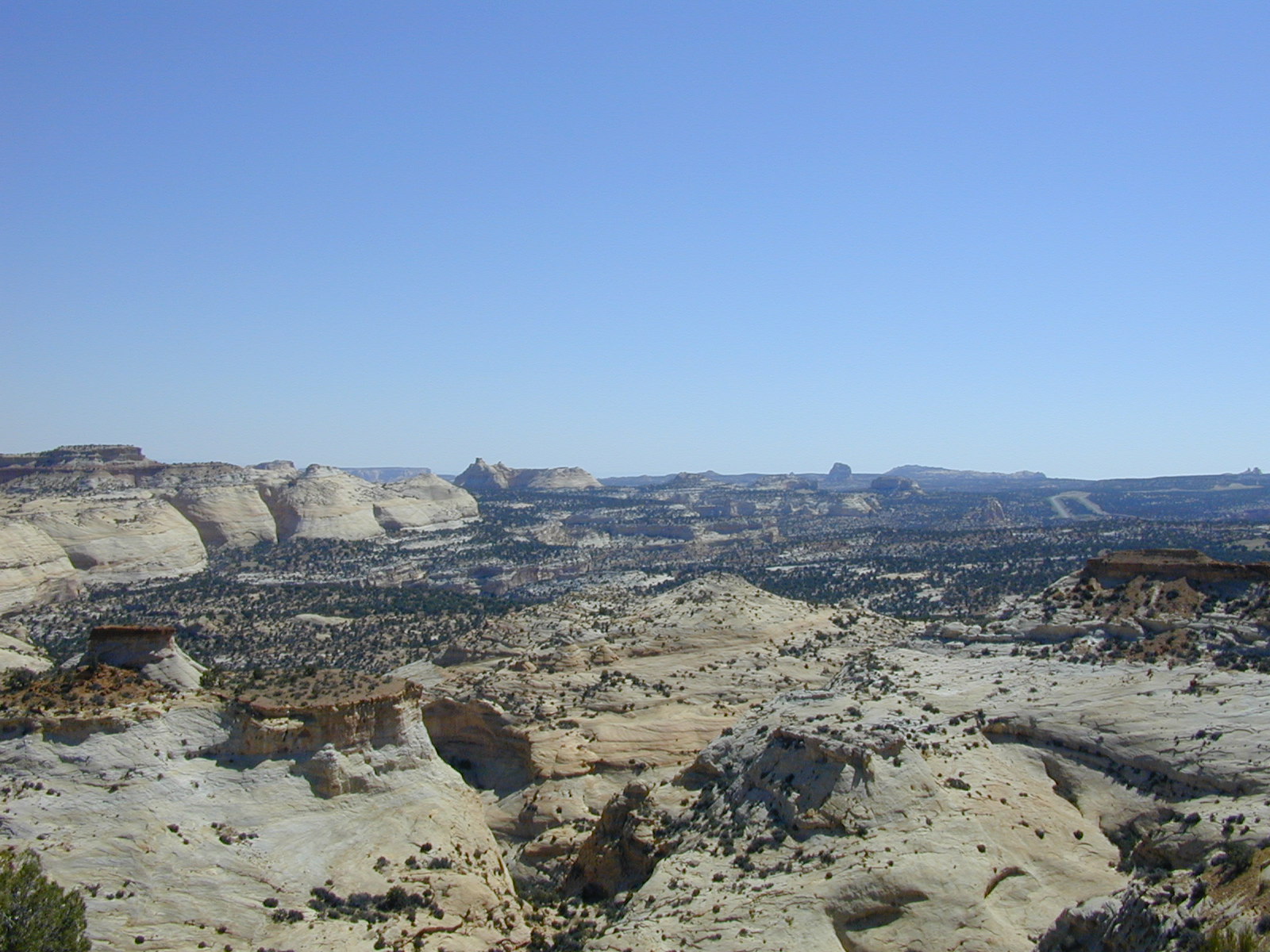
San Rafael Swell at Sunrise

Justesen Flats at Sunrise
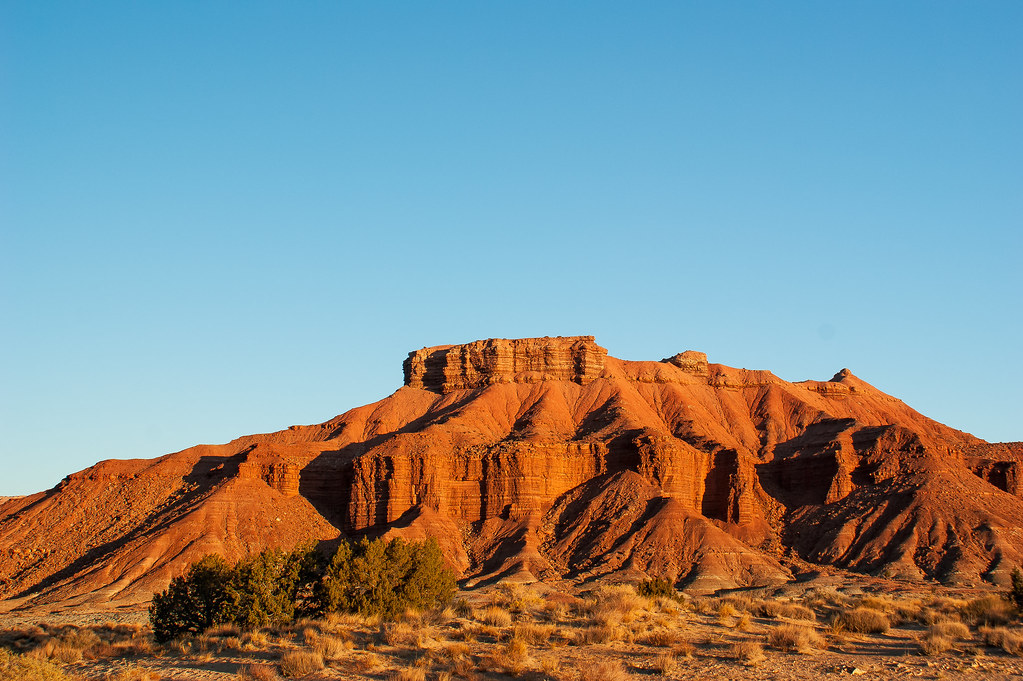
Red Rock Outcrop Canyonlands
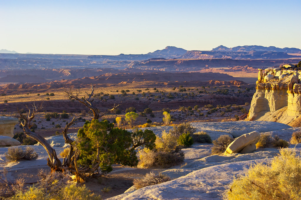
Sinbad Country
Beyond Sinbad (Explored)

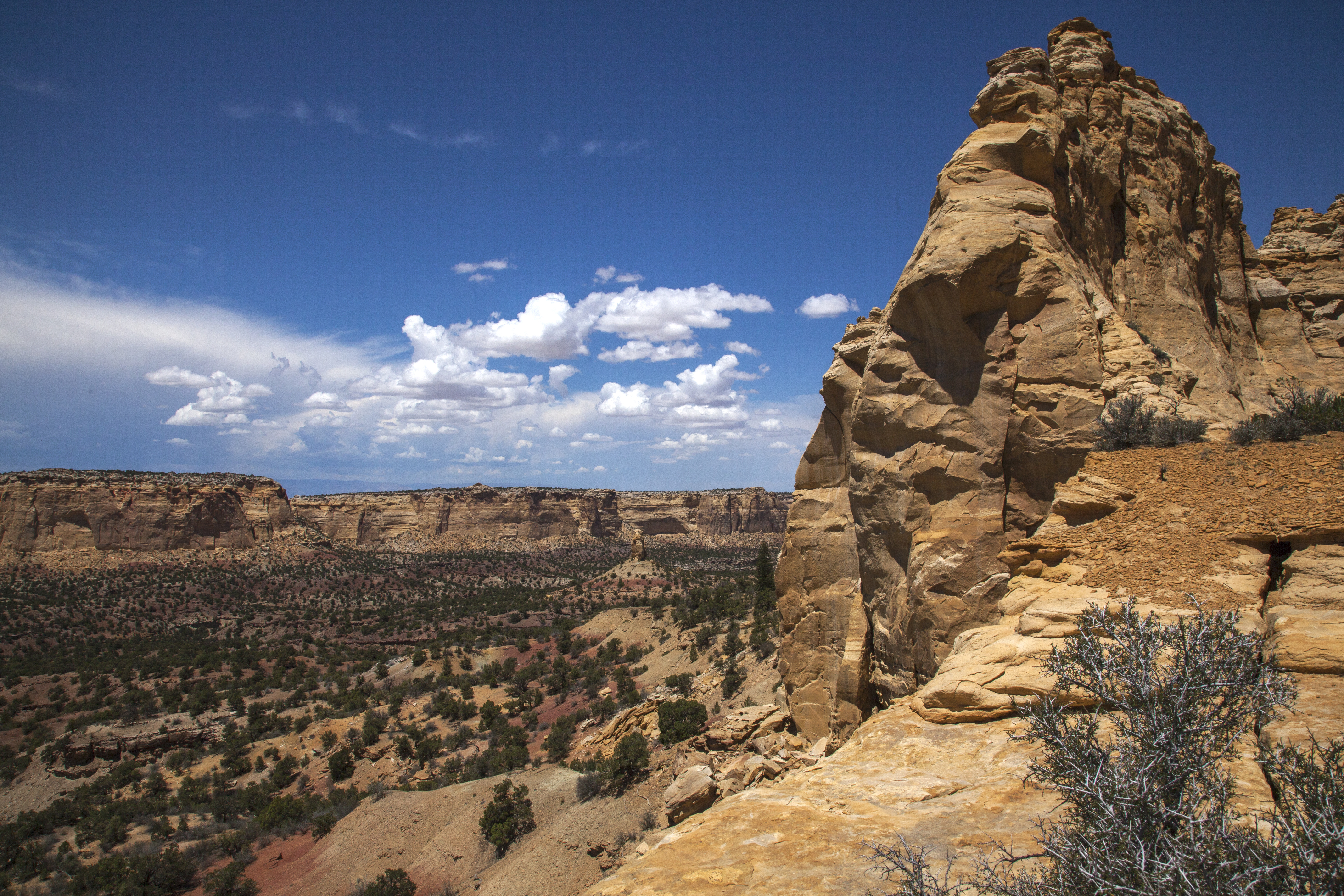
Eagle Canyon

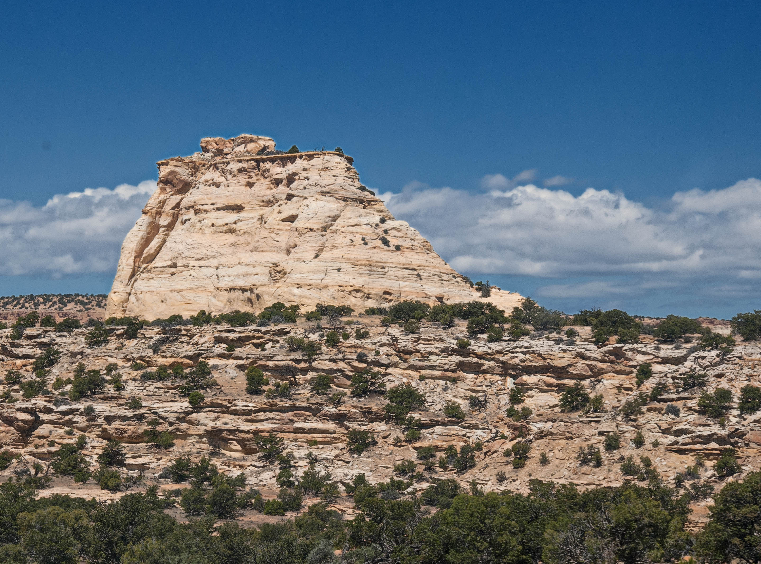
Ghost Rock

Central Utah

Central Utah

Central Utah

Central Utah

Central Utah
I-70 Utah

Central Utah
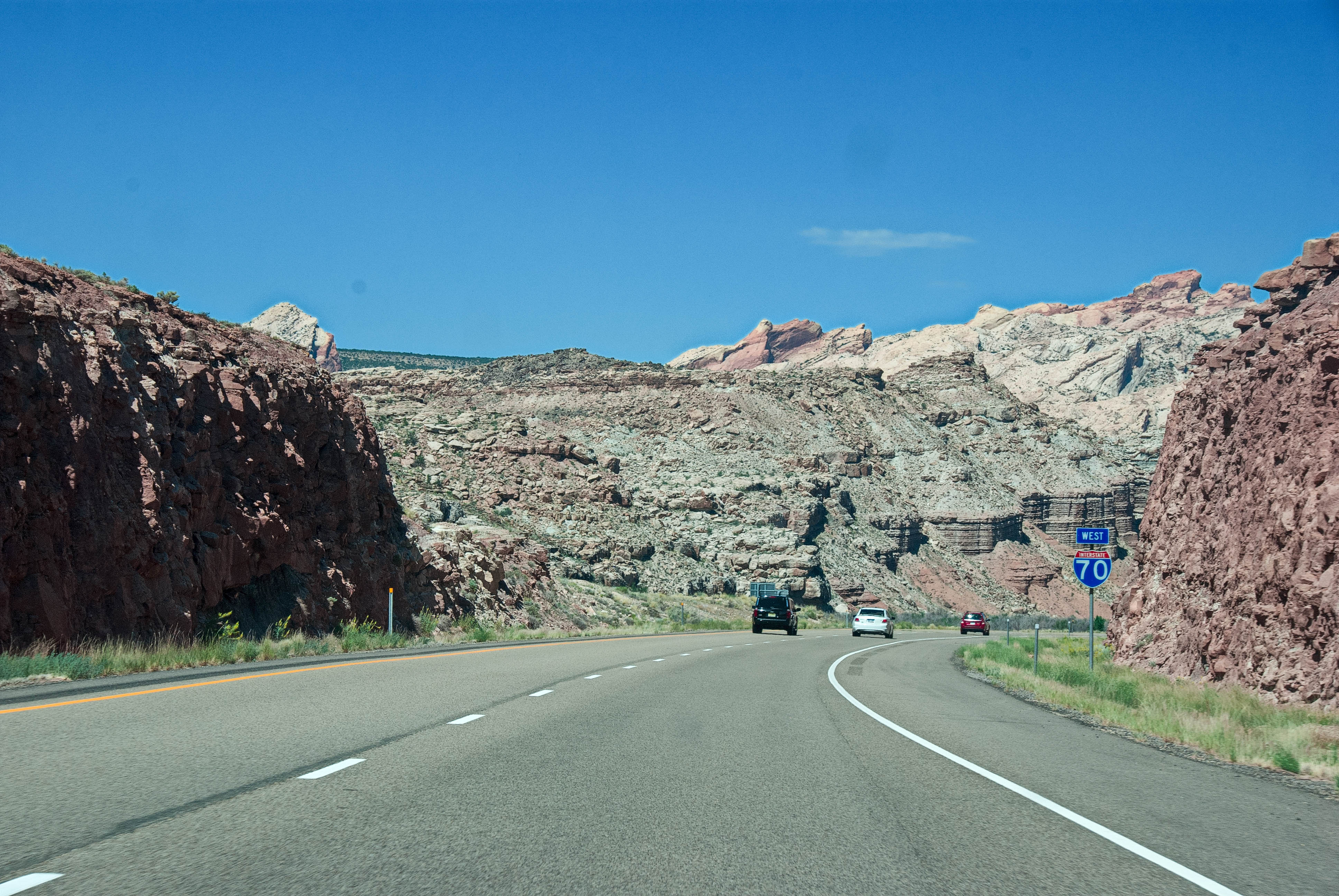
I-70 Utah

Central Utah
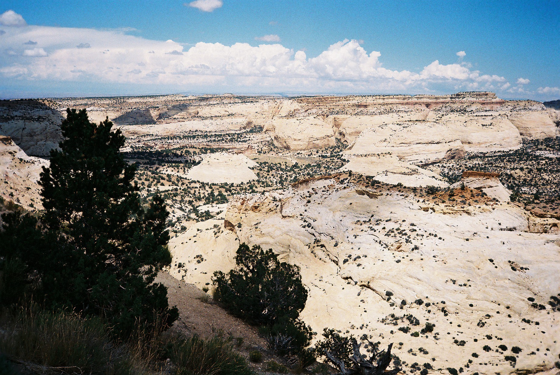
Ghost Rock View Area
Secret Mesa from Ghost Rock View Area
Eagle Canyon Overlook
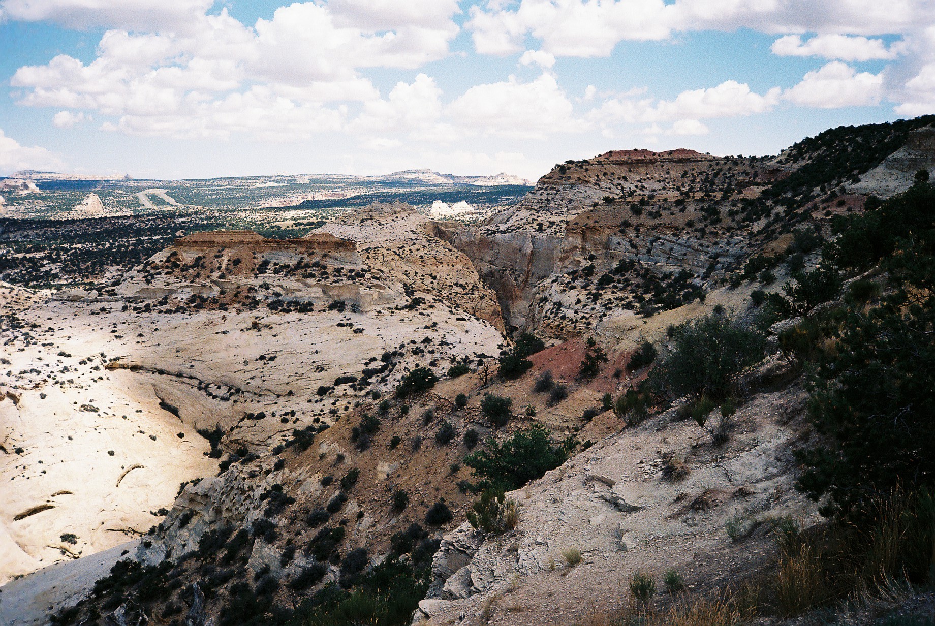
Eagle Canyon View Area
A different view at Eagle Canyon
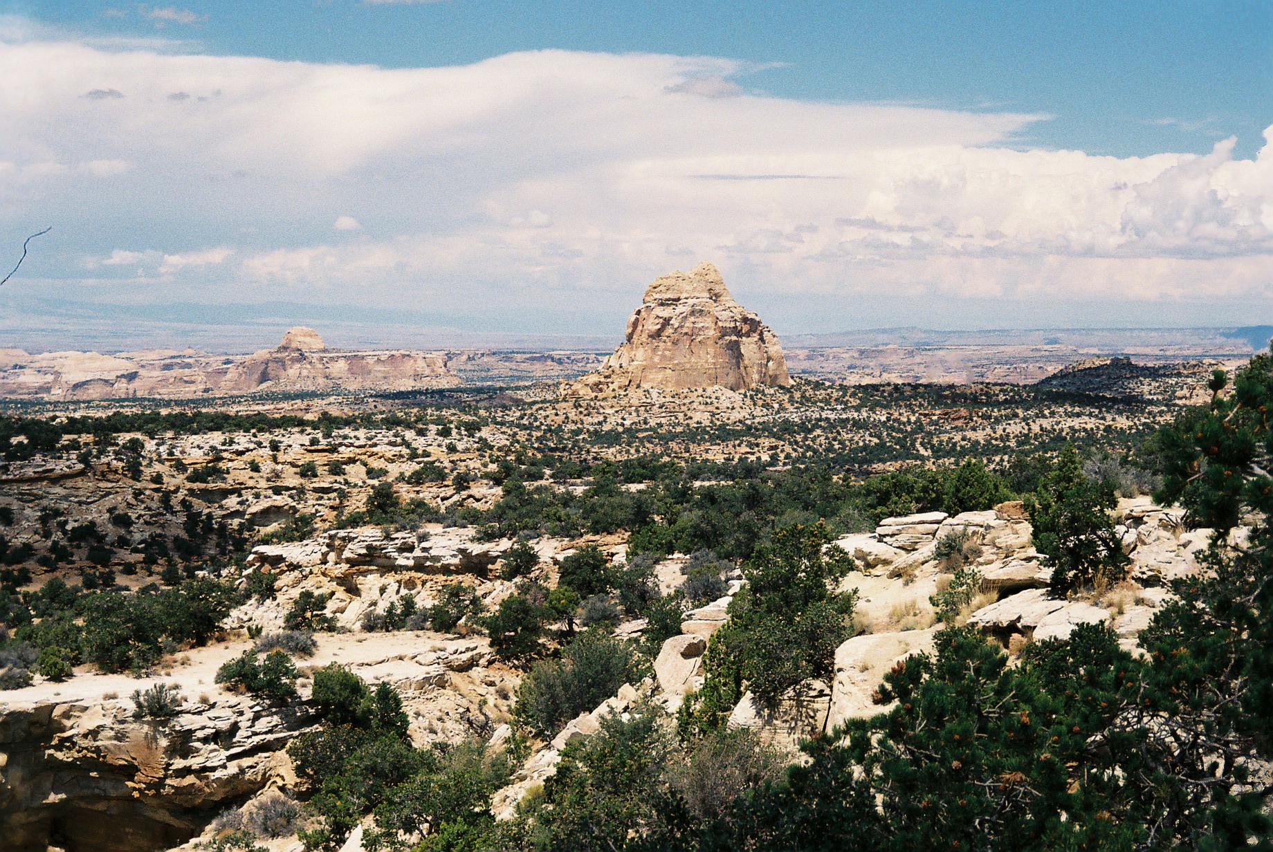
Secret Mesa View

The top of the Wickiup
Mapa de Horseshoe Bend, Utah, EE. UU.
Buscar otro lugar
Lugares cercanos
San Rafael Swell, Utah, EE. UU.
Condado de Emery, Utah, EE. UU.
arches national park, Wedge Rd, Utah, EE. UU.
Wedge Overlook, Castle Dale, UT, EE. UU.
San Rafael River Road, San Rafael River Rd, Green River, UT, EE. UU.
Temple Mountain, Utah, EE. UU.
Unnamed Road, Utah, EE. UU.
The Wedge, Utah, EE. UU.
Little Wild Horse Canyon & Bell Canyon Trailhead, Co Rd, Green River, UT, EE. UU.
Goblin Valley State Park, Goblin Valley Rd, Green River, UT, EE. UU.
Little Gilson Butte, Utah, EE. UU.
Unnamed Road, Castle Dale, UT, EE. UU.
Orangeville, Utah, EE. UU.
25 N Main St, Orangeville, UT, EE. UU.
Dugout Spring, Utah, EE. UU.
The Mars Desert Research Station - MDRS is a Private Research Facility open by Appointment Only, Cow
E N, Hanksville, UT, EE. UU.
Hollow Mountain, 40 N UT-95, Hanksville, UT, EE. UU.
Hanksville, Utah, EE. UU.
Utah, EE. UU.
Búsquedas recientes
- Horas de salida y puesta de sol de Red Dog Mine, AK, USA
- Horas de salida y puesta de sol de Am Bahnhof, Am bhf, Borken, Germany
- Horas de salida y puesta de sol de 4th St E, Sonoma, CA, EE. UU.
- Horas de salida y puesta de sol de Oakland Ave, Williamsport, PA, EE. UU.
- Horas de salida y puesta de sol de Via Roma, Pieranica CR, Italia
- Horas de salida y puesta de sol de Torre del reloj, Grad, Dubrovnik (Ragusa), Croacia
- Horas de salida y puesta de sol de Trelew, Chubut, Argentina
- Horas de salida y puesta de sol de Hartfords Bluff Cir, Mt Pleasant, SC, EE. UU.
- Horas de salida y puesta de sol de Kita Ward, Kumamoto, Japón
- Horas de salida y puesta de sol de Pingtan Island, Pingtan County, Fuzhou, China