Horas de salida y puesta de sol de Hoopersville Rd, Fishing Creek, MD, EE. UU.
Location: Estados Unidos > Maryland > Condado de Dorchester > 6 > Fishing Creek >
Zona horaria:
America/New_York
Hora local:
2025-06-18 08:39:06
Longitud:
-76.190138
Latitud:
38.286065
Salida de sol de hoy:
05:41:04 AM
Puesta de sol de hoy:
08:31:03 PM
La duración del día hoy:
14h 49m 59s
Salida de sol de mañana:
05:41:15 AM
Puesta de sol de mañana:
08:31:19 PM
La duración del día mañana:
14h 50m 4s
Mostrar todas las fechas
| Fecha | Salida de sol | Puesta de sol | Duración del día |
|---|---|---|---|
| 01/01/2025 | 07:21:40 AM | 04:56:04 PM | 9h 34m 24s |
| 02/01/2025 | 07:21:45 AM | 04:56:54 PM | 9h 35m 9s |
| 03/01/2025 | 07:21:48 AM | 04:57:46 PM | 9h 35m 58s |
| 04/01/2025 | 07:21:49 AM | 04:58:39 PM | 9h 36m 50s |
| 05/01/2025 | 07:21:48 AM | 04:59:33 PM | 9h 37m 45s |
| 06/01/2025 | 07:21:44 AM | 05:00:28 PM | 9h 38m 44s |
| 07/01/2025 | 07:21:39 AM | 05:01:24 PM | 9h 39m 45s |
| 08/01/2025 | 07:21:31 AM | 05:02:22 PM | 9h 40m 51s |
| 09/01/2025 | 07:21:21 AM | 05:03:20 PM | 9h 41m 59s |
| 10/01/2025 | 07:21:10 AM | 05:04:19 PM | 9h 43m 9s |
| 11/01/2025 | 07:20:56 AM | 05:05:19 PM | 9h 44m 23s |
| 12/01/2025 | 07:20:40 AM | 05:06:20 PM | 9h 45m 40s |
| 13/01/2025 | 07:20:22 AM | 05:07:22 PM | 9h 47m 0s |
| 14/01/2025 | 07:20:01 AM | 05:08:25 PM | 9h 48m 24s |
| 15/01/2025 | 07:19:39 AM | 05:09:28 PM | 9h 49m 49s |
| 16/01/2025 | 07:19:15 AM | 05:10:32 PM | 9h 51m 17s |
| 17/01/2025 | 07:18:49 AM | 05:11:36 PM | 9h 52m 47s |
| 18/01/2025 | 07:18:21 AM | 05:12:41 PM | 9h 54m 20s |
| 19/01/2025 | 07:17:51 AM | 05:13:47 PM | 9h 55m 56s |
| 20/01/2025 | 07:17:19 AM | 05:14:53 PM | 9h 57m 34s |
| 21/01/2025 | 07:16:44 AM | 05:15:59 PM | 9h 59m 15s |
| 22/01/2025 | 07:16:09 AM | 05:17:06 PM | 10h 0m 57s |
| 23/01/2025 | 07:15:31 AM | 05:18:13 PM | 10h 2m 42s |
| 24/01/2025 | 07:14:51 AM | 05:19:20 PM | 10h 4m 29s |
| 25/01/2025 | 07:14:10 AM | 05:20:28 PM | 10h 6m 18s |
| 26/01/2025 | 07:13:26 AM | 05:21:36 PM | 10h 8m 10s |
| 27/01/2025 | 07:12:41 AM | 05:22:43 PM | 10h 10m 2s |
| 28/01/2025 | 07:11:54 AM | 05:23:51 PM | 10h 11m 57s |
| 29/01/2025 | 07:11:06 AM | 05:25:00 PM | 10h 13m 54s |
| 30/01/2025 | 07:10:16 AM | 05:26:08 PM | 10h 15m 52s |
| 31/01/2025 | 07:09:24 AM | 05:27:16 PM | 10h 17m 52s |
| 01/02/2025 | 07:08:30 AM | 05:28:24 PM | 10h 19m 54s |
| 02/02/2025 | 07:07:35 AM | 05:29:32 PM | 10h 21m 57s |
| 03/02/2025 | 07:06:38 AM | 05:30:40 PM | 10h 24m 2s |
| 04/02/2025 | 07:05:40 AM | 05:31:48 PM | 10h 26m 8s |
| 05/02/2025 | 07:04:40 AM | 05:32:56 PM | 10h 28m 16s |
| 06/02/2025 | 07:03:39 AM | 05:34:04 PM | 10h 30m 25s |
| 07/02/2025 | 07:02:37 AM | 05:35:12 PM | 10h 32m 35s |
| 08/02/2025 | 07:01:33 AM | 05:36:19 PM | 10h 34m 46s |
| 09/02/2025 | 07:00:27 AM | 05:37:26 PM | 10h 36m 59s |
| 10/02/2025 | 06:59:21 AM | 05:38:33 PM | 10h 39m 12s |
| 11/02/2025 | 06:58:13 AM | 05:39:40 PM | 10h 41m 27s |
| 12/02/2025 | 06:57:03 AM | 05:40:46 PM | 10h 43m 43s |
| 13/02/2025 | 06:55:53 AM | 05:41:53 PM | 10h 46m 0s |
| 14/02/2025 | 06:54:41 AM | 05:42:59 PM | 10h 48m 18s |
| 15/02/2025 | 06:53:29 AM | 05:44:05 PM | 10h 50m 36s |
| 16/02/2025 | 06:52:15 AM | 05:45:10 PM | 10h 52m 55s |
| 17/02/2025 | 06:51:00 AM | 05:46:15 PM | 10h 55m 15s |
| 18/02/2025 | 06:49:44 AM | 05:47:20 PM | 10h 57m 36s |
| 19/02/2025 | 06:48:26 AM | 05:48:25 PM | 10h 59m 59s |
| 20/02/2025 | 06:47:08 AM | 05:49:29 PM | 11h 2m 21s |
| 21/02/2025 | 06:45:49 AM | 05:50:33 PM | 11h 4m 44s |
| 22/02/2025 | 06:44:29 AM | 05:51:36 PM | 11h 7m 7s |
| 23/02/2025 | 06:43:08 AM | 05:52:40 PM | 11h 9m 32s |
| 24/02/2025 | 06:41:47 AM | 05:53:43 PM | 11h 11m 56s |
| 25/02/2025 | 06:40:24 AM | 05:54:45 PM | 11h 14m 21s |
| 26/02/2025 | 06:39:01 AM | 05:55:48 PM | 11h 16m 47s |
| 27/02/2025 | 06:37:37 AM | 05:56:50 PM | 11h 19m 13s |
| 28/02/2025 | 06:36:12 AM | 05:57:51 PM | 11h 21m 39s |
| 01/03/2025 | 06:34:46 AM | 05:58:53 PM | 11h 24m 7s |
| 02/03/2025 | 06:33:20 AM | 05:59:54 PM | 11h 26m 34s |
| 03/03/2025 | 06:31:53 AM | 06:00:55 PM | 11h 29m 2s |
| 04/03/2025 | 06:30:26 AM | 06:01:55 PM | 11h 31m 29s |
| 05/03/2025 | 06:28:58 AM | 06:02:56 PM | 11h 33m 58s |
| 06/03/2025 | 06:27:30 AM | 06:03:56 PM | 11h 36m 26s |
| 07/03/2025 | 06:26:01 AM | 06:04:55 PM | 11h 38m 54s |
| 08/03/2025 | 06:24:31 AM | 06:05:55 PM | 11h 41m 24s |
| 09/03/2025 | 07:23:05 AM | 07:06:52 PM | 11h 43m 47s |
| 10/03/2025 | 07:21:35 AM | 07:07:50 PM | 11h 46m 15s |
| 11/03/2025 | 07:20:04 AM | 07:08:49 PM | 11h 48m 45s |
| 12/03/2025 | 07:18:33 AM | 07:09:48 PM | 11h 51m 15s |
| 13/03/2025 | 07:17:02 AM | 07:10:46 PM | 11h 53m 44s |
| 14/03/2025 | 07:15:30 AM | 07:11:44 PM | 11h 56m 14s |
| 15/03/2025 | 07:13:58 AM | 07:12:42 PM | 11h 58m 44s |
| 16/03/2025 | 07:12:26 AM | 07:13:40 PM | 12h 1m 14s |
| 17/03/2025 | 07:10:54 AM | 07:14:37 PM | 12h 3m 43s |
| 18/03/2025 | 07:09:22 AM | 07:15:34 PM | 12h 6m 12s |
| 19/03/2025 | 07:07:49 AM | 07:16:32 PM | 12h 8m 43s |
| 20/03/2025 | 07:06:16 AM | 07:17:29 PM | 12h 11m 13s |
| 21/03/2025 | 07:04:44 AM | 07:18:26 PM | 12h 13m 42s |
| 22/03/2025 | 07:03:11 AM | 07:19:22 PM | 12h 16m 11s |
| 23/03/2025 | 07:01:38 AM | 07:20:19 PM | 12h 18m 41s |
| 24/03/2025 | 07:00:05 AM | 07:21:16 PM | 12h 21m 11s |
| 25/03/2025 | 06:58:33 AM | 07:22:12 PM | 12h 23m 39s |
| 26/03/2025 | 06:57:00 AM | 07:23:09 PM | 12h 26m 9s |
| 27/03/2025 | 06:55:28 AM | 07:24:05 PM | 12h 28m 37s |
| 28/03/2025 | 06:53:55 AM | 07:25:01 PM | 12h 31m 6s |
| 29/03/2025 | 06:52:23 AM | 07:25:57 PM | 12h 33m 34s |
| 30/03/2025 | 06:50:51 AM | 07:26:54 PM | 12h 36m 3s |
| 31/03/2025 | 06:49:19 AM | 07:27:50 PM | 12h 38m 31s |
| 01/04/2025 | 06:47:48 AM | 07:28:46 PM | 12h 40m 58s |
| 02/04/2025 | 06:46:16 AM | 07:29:42 PM | 12h 43m 26s |
| 03/04/2025 | 06:44:46 AM | 07:30:38 PM | 12h 45m 52s |
| 04/04/2025 | 06:43:15 AM | 07:31:34 PM | 12h 48m 19s |
| 05/04/2025 | 06:41:45 AM | 07:32:30 PM | 12h 50m 45s |
| 06/04/2025 | 06:40:15 AM | 07:33:26 PM | 12h 53m 11s |
| 07/04/2025 | 06:38:46 AM | 07:34:22 PM | 12h 55m 36s |
| 08/04/2025 | 06:37:17 AM | 07:35:18 PM | 12h 58m 1s |
| 09/04/2025 | 06:35:48 AM | 07:36:15 PM | 13h 0m 27s |
| 10/04/2025 | 06:34:21 AM | 07:37:11 PM | 13h 2m 50s |
| 11/04/2025 | 06:32:53 AM | 07:38:07 PM | 13h 5m 14s |
| 12/04/2025 | 06:31:27 AM | 07:39:03 PM | 13h 7m 36s |
| 13/04/2025 | 06:30:01 AM | 07:39:59 PM | 13h 9m 58s |
| 14/04/2025 | 06:28:35 AM | 07:40:56 PM | 13h 12m 21s |
| 15/04/2025 | 06:27:10 AM | 07:41:52 PM | 13h 14m 42s |
| 16/04/2025 | 06:25:46 AM | 07:42:49 PM | 13h 17m 3s |
| 17/04/2025 | 06:24:23 AM | 07:43:45 PM | 13h 19m 22s |
| 18/04/2025 | 06:23:01 AM | 07:44:41 PM | 13h 21m 40s |
| 19/04/2025 | 06:21:39 AM | 07:45:38 PM | 13h 23m 59s |
| 20/04/2025 | 06:20:18 AM | 07:46:34 PM | 13h 26m 16s |
| 21/04/2025 | 06:18:58 AM | 07:47:31 PM | 13h 28m 33s |
| 22/04/2025 | 06:17:39 AM | 07:48:28 PM | 13h 30m 49s |
| 23/04/2025 | 06:16:21 AM | 07:49:24 PM | 13h 33m 3s |
| 24/04/2025 | 06:15:03 AM | 07:50:21 PM | 13h 35m 18s |
| 25/04/2025 | 06:13:47 AM | 07:51:17 PM | 13h 37m 30s |
| 26/04/2025 | 06:12:32 AM | 07:52:14 PM | 13h 39m 42s |
| 27/04/2025 | 06:11:18 AM | 07:53:10 PM | 13h 41m 52s |
| 28/04/2025 | 06:10:05 AM | 07:54:07 PM | 13h 44m 2s |
| 29/04/2025 | 06:08:53 AM | 07:55:03 PM | 13h 46m 10s |
| 30/04/2025 | 06:07:42 AM | 07:55:59 PM | 13h 48m 17s |
| 01/05/2025 | 06:06:32 AM | 07:56:56 PM | 13h 50m 24s |
| 02/05/2025 | 06:05:23 AM | 07:57:52 PM | 13h 52m 29s |
| 03/05/2025 | 06:04:16 AM | 07:58:48 PM | 13h 54m 32s |
| 04/05/2025 | 06:03:10 AM | 07:59:44 PM | 13h 56m 34s |
| 05/05/2025 | 06:02:05 AM | 08:00:39 PM | 13h 58m 34s |
| 06/05/2025 | 06:01:02 AM | 08:01:35 PM | 14h 0m 33s |
| 07/05/2025 | 06:00:00 AM | 08:02:30 PM | 14h 2m 30s |
| 08/05/2025 | 05:58:59 AM | 08:03:26 PM | 14h 4m 27s |
| 09/05/2025 | 05:57:59 AM | 08:04:20 PM | 14h 6m 21s |
| 10/05/2025 | 05:57:01 AM | 08:05:15 PM | 14h 8m 14s |
| 11/05/2025 | 05:56:05 AM | 08:06:09 PM | 14h 10m 4s |
| 12/05/2025 | 05:55:10 AM | 08:07:03 PM | 14h 11m 53s |
| 13/05/2025 | 05:54:16 AM | 08:07:57 PM | 14h 13m 41s |
| 14/05/2025 | 05:53:24 AM | 08:08:50 PM | 14h 15m 26s |
| 15/05/2025 | 05:52:34 AM | 08:09:43 PM | 14h 17m 9s |
| 16/05/2025 | 05:51:45 AM | 08:10:35 PM | 14h 18m 50s |
| 17/05/2025 | 05:50:58 AM | 08:11:27 PM | 14h 20m 29s |
| 18/05/2025 | 05:50:12 AM | 08:12:19 PM | 14h 22m 7s |
| 19/05/2025 | 05:49:28 AM | 08:13:09 PM | 14h 23m 41s |
| 20/05/2025 | 05:48:45 AM | 08:14:00 PM | 14h 25m 15s |
| 21/05/2025 | 05:48:05 AM | 08:14:49 PM | 14h 26m 44s |
| 22/05/2025 | 05:47:26 AM | 08:15:38 PM | 14h 28m 12s |
| 23/05/2025 | 05:46:48 AM | 08:16:26 PM | 14h 29m 38s |
| 24/05/2025 | 05:46:13 AM | 08:17:14 PM | 14h 31m 1s |
| 25/05/2025 | 05:45:39 AM | 08:18:01 PM | 14h 32m 22s |
| 26/05/2025 | 05:45:07 AM | 08:18:47 PM | 14h 33m 40s |
| 27/05/2025 | 05:44:36 AM | 08:19:32 PM | 14h 34m 56s |
| 28/05/2025 | 05:44:08 AM | 08:20:16 PM | 14h 36m 8s |
| 29/05/2025 | 05:43:41 AM | 08:20:59 PM | 14h 37m 18s |
| 30/05/2025 | 05:43:16 AM | 08:21:42 PM | 14h 38m 26s |
| 31/05/2025 | 05:42:53 AM | 08:22:23 PM | 14h 39m 30s |
| 01/06/2025 | 05:42:32 AM | 08:23:03 PM | 14h 40m 31s |
| 02/06/2025 | 05:42:13 AM | 08:23:42 PM | 14h 41m 29s |
| 03/06/2025 | 05:41:55 AM | 08:24:20 PM | 14h 42m 25s |
| 04/06/2025 | 05:41:39 AM | 08:24:57 PM | 14h 43m 18s |
| 05/06/2025 | 05:41:25 AM | 08:25:33 PM | 14h 44m 8s |
| 06/06/2025 | 05:41:13 AM | 08:26:08 PM | 14h 44m 55s |
| 07/06/2025 | 05:41:03 AM | 08:26:41 PM | 14h 45m 38s |
| 08/06/2025 | 05:40:55 AM | 08:27:13 PM | 14h 46m 18s |
| 09/06/2025 | 05:40:48 AM | 08:27:43 PM | 14h 46m 55s |
| 10/06/2025 | 05:40:43 AM | 08:28:12 PM | 14h 47m 29s |
| 11/06/2025 | 05:40:40 AM | 08:28:40 PM | 14h 48m 0s |
| 12/06/2025 | 05:40:39 AM | 08:29:06 PM | 14h 48m 27s |
| 13/06/2025 | 05:40:40 AM | 08:29:31 PM | 14h 48m 51s |
| 14/06/2025 | 05:40:42 AM | 08:29:54 PM | 14h 49m 12s |
| 15/06/2025 | 05:40:46 AM | 08:30:16 PM | 14h 49m 30s |
| 16/06/2025 | 05:40:52 AM | 08:30:36 PM | 14h 49m 44s |
| 17/06/2025 | 05:41:00 AM | 08:30:54 PM | 14h 49m 54s |
| 18/06/2025 | 05:41:09 AM | 08:31:11 PM | 14h 50m 2s |
| 19/06/2025 | 05:41:20 AM | 08:31:26 PM | 14h 50m 6s |
| 20/06/2025 | 05:41:33 AM | 08:31:40 PM | 14h 50m 7s |
| 21/06/2025 | 05:41:47 AM | 08:31:51 PM | 14h 50m 4s |
| 22/06/2025 | 05:42:03 AM | 08:32:01 PM | 14h 49m 58s |
| 23/06/2025 | 05:42:21 AM | 08:32:10 PM | 14h 49m 49s |
| 24/06/2025 | 05:42:40 AM | 08:32:16 PM | 14h 49m 36s |
| 25/06/2025 | 05:43:01 AM | 08:32:21 PM | 14h 49m 20s |
| 26/06/2025 | 05:43:23 AM | 08:32:23 PM | 14h 49m 0s |
| 27/06/2025 | 05:43:46 AM | 08:32:24 PM | 14h 48m 38s |
| 28/06/2025 | 05:44:11 AM | 08:32:24 PM | 14h 48m 13s |
| 29/06/2025 | 05:44:38 AM | 08:32:21 PM | 14h 47m 43s |
| 30/06/2025 | 05:45:06 AM | 08:32:16 PM | 14h 47m 10s |
| 01/07/2025 | 05:45:35 AM | 08:32:10 PM | 14h 46m 35s |
| 02/07/2025 | 05:46:05 AM | 08:32:02 PM | 14h 45m 57s |
| 03/07/2025 | 05:46:37 AM | 08:31:52 PM | 14h 45m 15s |
| 04/07/2025 | 05:47:10 AM | 08:31:40 PM | 14h 44m 30s |
| 05/07/2025 | 05:47:44 AM | 08:31:26 PM | 14h 43m 42s |
| 06/07/2025 | 05:48:19 AM | 08:31:10 PM | 14h 42m 51s |
| 07/07/2025 | 05:48:55 AM | 08:30:52 PM | 14h 41m 57s |
| 08/07/2025 | 05:49:33 AM | 08:30:33 PM | 14h 41m 0s |
| 09/07/2025 | 05:50:11 AM | 08:30:11 PM | 14h 40m 0s |
| 10/07/2025 | 05:50:51 AM | 08:29:48 PM | 14h 38m 57s |
| 11/07/2025 | 05:51:31 AM | 08:29:23 PM | 14h 37m 52s |
| 12/07/2025 | 05:52:12 AM | 08:28:56 PM | 14h 36m 44s |
| 13/07/2025 | 05:52:54 AM | 08:28:27 PM | 14h 35m 33s |
| 14/07/2025 | 05:53:37 AM | 08:27:57 PM | 14h 34m 20s |
| 15/07/2025 | 05:54:21 AM | 08:27:24 PM | 14h 33m 3s |
| 16/07/2025 | 05:55:06 AM | 08:26:50 PM | 14h 31m 44s |
| 17/07/2025 | 05:55:51 AM | 08:26:14 PM | 14h 30m 23s |
| 18/07/2025 | 05:56:37 AM | 08:25:36 PM | 14h 28m 59s |
| 19/07/2025 | 05:57:23 AM | 08:24:57 PM | 14h 27m 34s |
| 20/07/2025 | 05:58:10 AM | 08:24:15 PM | 14h 26m 5s |
| 21/07/2025 | 05:58:58 AM | 08:23:32 PM | 14h 24m 34s |
| 22/07/2025 | 05:59:46 AM | 08:22:48 PM | 14h 23m 2s |
| 23/07/2025 | 06:00:35 AM | 08:22:01 PM | 14h 21m 26s |
| 24/07/2025 | 06:01:24 AM | 08:21:13 PM | 14h 19m 49s |
| 25/07/2025 | 06:02:14 AM | 08:20:24 PM | 14h 18m 10s |
| 26/07/2025 | 06:03:04 AM | 08:19:33 PM | 14h 16m 29s |
| 27/07/2025 | 06:03:54 AM | 08:18:40 PM | 14h 14m 46s |
| 28/07/2025 | 06:04:45 AM | 08:17:46 PM | 14h 13m 1s |
| 29/07/2025 | 06:05:36 AM | 08:16:50 PM | 14h 11m 14s |
| 30/07/2025 | 06:06:27 AM | 08:15:53 PM | 14h 9m 26s |
| 31/07/2025 | 06:07:19 AM | 08:14:54 PM | 14h 7m 35s |
| 01/08/2025 | 06:08:11 AM | 08:13:54 PM | 14h 5m 43s |
| 02/08/2025 | 06:09:03 AM | 08:12:52 PM | 14h 3m 49s |
| 03/08/2025 | 06:09:55 AM | 08:11:49 PM | 14h 1m 54s |
| 04/08/2025 | 06:10:47 AM | 08:10:44 PM | 13h 59m 57s |
| 05/08/2025 | 06:11:40 AM | 08:09:39 PM | 13h 57m 59s |
| 06/08/2025 | 06:12:32 AM | 08:08:32 PM | 13h 56m 0s |
| 07/08/2025 | 06:13:25 AM | 08:07:23 PM | 13h 53m 58s |
| 08/08/2025 | 06:14:18 AM | 08:06:14 PM | 13h 51m 56s |
| 09/08/2025 | 06:15:11 AM | 08:05:03 PM | 13h 49m 52s |
| 10/08/2025 | 06:16:03 AM | 08:03:51 PM | 13h 47m 48s |
| 11/08/2025 | 06:16:56 AM | 08:02:38 PM | 13h 45m 42s |
| 12/08/2025 | 06:17:49 AM | 08:01:24 PM | 13h 43m 35s |
| 13/08/2025 | 06:18:42 AM | 08:00:08 PM | 13h 41m 26s |
| 14/08/2025 | 06:19:35 AM | 07:58:52 PM | 13h 39m 17s |
| 15/08/2025 | 06:20:28 AM | 07:57:35 PM | 13h 37m 7s |
| 16/08/2025 | 06:21:21 AM | 07:56:16 PM | 13h 34m 55s |
| 17/08/2025 | 06:22:14 AM | 07:54:57 PM | 13h 32m 43s |
| 18/08/2025 | 06:23:07 AM | 07:53:36 PM | 13h 30m 29s |
| 19/08/2025 | 06:23:59 AM | 07:52:15 PM | 13h 28m 16s |
| 20/08/2025 | 06:24:52 AM | 07:50:53 PM | 13h 26m 1s |
| 21/08/2025 | 06:25:45 AM | 07:49:30 PM | 13h 23m 45s |
| 22/08/2025 | 06:26:37 AM | 07:48:06 PM | 13h 21m 29s |
| 23/08/2025 | 06:27:30 AM | 07:46:41 PM | 13h 19m 11s |
| 24/08/2025 | 06:28:22 AM | 07:45:16 PM | 13h 16m 54s |
| 25/08/2025 | 06:29:14 AM | 07:43:50 PM | 13h 14m 36s |
| 26/08/2025 | 06:30:07 AM | 07:42:23 PM | 13h 12m 16s |
| 27/08/2025 | 06:30:59 AM | 07:40:55 PM | 13h 9m 56s |
| 28/08/2025 | 06:31:51 AM | 07:39:27 PM | 13h 7m 36s |
| 29/08/2025 | 06:32:43 AM | 07:37:58 PM | 13h 5m 15s |
| 30/08/2025 | 06:33:35 AM | 07:36:29 PM | 13h 2m 54s |
| 31/08/2025 | 06:34:27 AM | 07:34:59 PM | 13h 0m 32s |
| 01/09/2025 | 06:35:19 AM | 07:33:28 PM | 12h 58m 9s |
| 02/09/2025 | 06:36:11 AM | 07:31:57 PM | 12h 55m 46s |
| 03/09/2025 | 06:37:03 AM | 07:30:26 PM | 12h 53m 23s |
| 04/09/2025 | 06:37:55 AM | 07:28:54 PM | 12h 50m 59s |
| 05/09/2025 | 06:38:46 AM | 07:27:22 PM | 12h 48m 36s |
| 06/09/2025 | 06:39:38 AM | 07:25:49 PM | 12h 46m 11s |
| 07/09/2025 | 06:40:30 AM | 07:24:16 PM | 12h 43m 46s |
| 08/09/2025 | 06:41:21 AM | 07:22:43 PM | 12h 41m 22s |
| 09/09/2025 | 06:42:13 AM | 07:21:09 PM | 12h 38m 56s |
| 10/09/2025 | 06:43:05 AM | 07:19:35 PM | 12h 36m 30s |
| 11/09/2025 | 06:43:57 AM | 07:18:01 PM | 12h 34m 4s |
| 12/09/2025 | 06:44:48 AM | 07:16:27 PM | 12h 31m 39s |
| 13/09/2025 | 06:45:40 AM | 07:14:52 PM | 12h 29m 12s |
| 14/09/2025 | 06:46:32 AM | 07:13:17 PM | 12h 26m 45s |
| 15/09/2025 | 06:47:24 AM | 07:11:43 PM | 12h 24m 19s |
| 16/09/2025 | 06:48:16 AM | 07:10:08 PM | 12h 21m 52s |
| 17/09/2025 | 06:49:08 AM | 07:08:33 PM | 12h 19m 25s |
| 18/09/2025 | 06:50:00 AM | 07:06:58 PM | 12h 16m 58s |
| 19/09/2025 | 06:50:52 AM | 07:05:23 PM | 12h 14m 31s |
| 20/09/2025 | 06:51:45 AM | 07:03:48 PM | 12h 12m 3s |
| 21/09/2025 | 06:52:37 AM | 07:02:13 PM | 12h 9m 36s |
| 22/09/2025 | 06:53:30 AM | 07:00:38 PM | 12h 7m 8s |
| 23/09/2025 | 06:54:23 AM | 06:59:04 PM | 12h 4m 41s |
| 24/09/2025 | 06:55:16 AM | 06:57:29 PM | 12h 2m 13s |
| 25/09/2025 | 06:56:09 AM | 06:55:55 PM | 11h 59m 46s |
| 26/09/2025 | 06:57:02 AM | 06:54:21 PM | 11h 57m 19s |
| 27/09/2025 | 06:57:56 AM | 06:52:47 PM | 11h 54m 51s |
| 28/09/2025 | 06:58:49 AM | 06:51:13 PM | 11h 52m 24s |
| 29/09/2025 | 06:59:43 AM | 06:49:40 PM | 11h 49m 57s |
| 30/09/2025 | 07:00:37 AM | 06:48:07 PM | 11h 47m 30s |
| 01/10/2025 | 07:01:32 AM | 06:46:34 PM | 11h 45m 2s |
| 02/10/2025 | 07:02:26 AM | 06:45:02 PM | 11h 42m 36s |
| 03/10/2025 | 07:03:21 AM | 06:43:30 PM | 11h 40m 9s |
| 04/10/2025 | 07:04:16 AM | 06:41:58 PM | 11h 37m 42s |
| 05/10/2025 | 07:05:12 AM | 06:40:27 PM | 11h 35m 15s |
| 06/10/2025 | 07:06:07 AM | 06:38:57 PM | 11h 32m 50s |
| 07/10/2025 | 07:07:03 AM | 06:37:27 PM | 11h 30m 24s |
| 08/10/2025 | 07:08:00 AM | 06:35:58 PM | 11h 27m 58s |
| 09/10/2025 | 07:08:56 AM | 06:34:29 PM | 11h 25m 33s |
| 10/10/2025 | 07:09:53 AM | 06:33:01 PM | 11h 23m 8s |
| 11/10/2025 | 07:10:50 AM | 06:31:33 PM | 11h 20m 43s |
| 12/10/2025 | 07:11:48 AM | 06:30:07 PM | 11h 18m 19s |
| 13/10/2025 | 07:12:46 AM | 06:28:41 PM | 11h 15m 55s |
| 14/10/2025 | 07:13:44 AM | 06:27:15 PM | 11h 13m 31s |
| 15/10/2025 | 07:14:43 AM | 06:25:51 PM | 11h 11m 8s |
| 16/10/2025 | 07:15:42 AM | 06:24:27 PM | 11h 8m 45s |
| 17/10/2025 | 07:16:41 AM | 06:23:05 PM | 11h 6m 24s |
| 18/10/2025 | 07:17:40 AM | 06:21:43 PM | 11h 4m 3s |
| 19/10/2025 | 07:18:40 AM | 06:20:22 PM | 11h 1m 42s |
| 20/10/2025 | 07:19:41 AM | 06:19:02 PM | 10h 59m 21s |
| 21/10/2025 | 07:20:41 AM | 06:17:43 PM | 10h 57m 2s |
| 22/10/2025 | 07:21:42 AM | 06:16:25 PM | 10h 54m 43s |
| 23/10/2025 | 07:22:43 AM | 06:15:08 PM | 10h 52m 25s |
| 24/10/2025 | 07:23:45 AM | 06:13:52 PM | 10h 50m 7s |
| 25/10/2025 | 07:24:47 AM | 06:12:37 PM | 10h 47m 50s |
| 26/10/2025 | 07:25:49 AM | 06:11:24 PM | 10h 45m 35s |
| 27/10/2025 | 07:26:52 AM | 06:10:12 PM | 10h 43m 20s |
| 28/10/2025 | 07:27:54 AM | 06:09:01 PM | 10h 41m 7s |
| 29/10/2025 | 07:28:58 AM | 06:07:51 PM | 10h 38m 53s |
| 30/10/2025 | 07:30:01 AM | 06:06:42 PM | 10h 36m 41s |
| 31/10/2025 | 07:31:05 AM | 06:05:35 PM | 10h 34m 30s |
| 01/11/2025 | 07:32:08 AM | 06:04:29 PM | 10h 32m 21s |
| 02/11/2025 | 06:33:15 AM | 05:03:22 PM | 10h 30m 7s |
| 03/11/2025 | 06:34:20 AM | 05:02:19 PM | 10h 27m 59s |
| 04/11/2025 | 06:35:24 AM | 05:01:18 PM | 10h 25m 54s |
| 05/11/2025 | 06:36:29 AM | 05:00:18 PM | 10h 23m 49s |
| 06/11/2025 | 06:37:33 AM | 04:59:19 PM | 10h 21m 46s |
| 07/11/2025 | 06:38:38 AM | 04:58:22 PM | 10h 19m 44s |
| 08/11/2025 | 06:39:43 AM | 04:57:27 PM | 10h 17m 44s |
| 09/11/2025 | 06:40:48 AM | 04:56:33 PM | 10h 15m 45s |
| 10/11/2025 | 06:41:54 AM | 04:55:41 PM | 10h 13m 47s |
| 11/11/2025 | 06:42:59 AM | 04:54:51 PM | 10h 11m 52s |
| 12/11/2025 | 06:44:04 AM | 04:54:02 PM | 10h 9m 58s |
| 13/11/2025 | 06:45:09 AM | 04:53:15 PM | 10h 8m 6s |
| 14/11/2025 | 06:46:14 AM | 04:52:30 PM | 10h 6m 16s |
| 15/11/2025 | 06:47:19 AM | 04:51:47 PM | 10h 4m 28s |
| 16/11/2025 | 06:48:23 AM | 04:51:06 PM | 10h 2m 43s |
| 17/11/2025 | 06:49:28 AM | 04:50:26 PM | 10h 0m 58s |
| 18/11/2025 | 06:50:32 AM | 04:49:49 PM | 9h 59m 17s |
| 19/11/2025 | 06:51:36 AM | 04:49:13 PM | 9h 57m 37s |
| 20/11/2025 | 06:52:39 AM | 04:48:39 PM | 9h 56m 0s |
| 21/11/2025 | 06:53:43 AM | 04:48:07 PM | 9h 54m 24s |
| 22/11/2025 | 06:54:45 AM | 04:47:37 PM | 9h 52m 52s |
| 23/11/2025 | 06:55:48 AM | 04:47:10 PM | 9h 51m 22s |
| 24/11/2025 | 06:56:50 AM | 04:46:44 PM | 9h 49m 54s |
| 25/11/2025 | 06:57:51 AM | 04:46:20 PM | 9h 48m 29s |
| 26/11/2025 | 06:58:51 AM | 04:45:58 PM | 9h 47m 7s |
| 27/11/2025 | 06:59:52 AM | 04:45:39 PM | 9h 45m 47s |
| 28/11/2025 | 07:00:51 AM | 04:45:21 PM | 9h 44m 30s |
| 29/11/2025 | 07:01:49 AM | 04:45:06 PM | 9h 43m 17s |
| 30/11/2025 | 07:02:47 AM | 04:44:53 PM | 9h 42m 6s |
| 01/12/2025 | 07:03:44 AM | 04:44:42 PM | 9h 40m 58s |
| 02/12/2025 | 07:04:40 AM | 04:44:33 PM | 9h 39m 53s |
| 03/12/2025 | 07:05:35 AM | 04:44:26 PM | 9h 38m 51s |
| 04/12/2025 | 07:06:29 AM | 04:44:21 PM | 9h 37m 52s |
| 05/12/2025 | 07:07:22 AM | 04:44:19 PM | 9h 36m 57s |
| 06/12/2025 | 07:08:14 AM | 04:44:18 PM | 9h 36m 4s |
| 07/12/2025 | 07:09:05 AM | 04:44:20 PM | 9h 35m 15s |
| 08/12/2025 | 07:09:54 AM | 04:44:24 PM | 9h 34m 30s |
| 09/12/2025 | 07:10:42 AM | 04:44:30 PM | 9h 33m 48s |
| 10/12/2025 | 07:11:29 AM | 04:44:38 PM | 9h 33m 9s |
| 11/12/2025 | 07:12:15 AM | 04:44:49 PM | 9h 32m 34s |
| 12/12/2025 | 07:12:59 AM | 04:45:01 PM | 9h 32m 2s |
| 13/12/2025 | 07:13:41 AM | 04:45:16 PM | 9h 31m 35s |
| 14/12/2025 | 07:14:22 AM | 04:45:32 PM | 9h 31m 10s |
| 15/12/2025 | 07:15:02 AM | 04:45:51 PM | 9h 30m 49s |
| 16/12/2025 | 07:15:40 AM | 04:46:11 PM | 9h 30m 31s |
| 17/12/2025 | 07:16:16 AM | 04:46:34 PM | 9h 30m 18s |
| 18/12/2025 | 07:16:51 AM | 04:46:59 PM | 9h 30m 8s |
| 19/12/2025 | 07:17:23 AM | 04:47:25 PM | 9h 30m 2s |
| 20/12/2025 | 07:17:54 AM | 04:47:54 PM | 9h 30m 0s |
| 21/12/2025 | 07:18:24 AM | 04:48:24 PM | 9h 30m 0s |
| 22/12/2025 | 07:18:51 AM | 04:48:56 PM | 9h 30m 5s |
| 23/12/2025 | 07:19:17 AM | 04:49:30 PM | 9h 30m 13s |
| 24/12/2025 | 07:19:40 AM | 04:50:06 PM | 9h 30m 26s |
| 25/12/2025 | 07:20:02 AM | 04:50:44 PM | 9h 30m 42s |
| 26/12/2025 | 07:20:22 AM | 04:51:23 PM | 9h 31m 1s |
| 27/12/2025 | 07:20:40 AM | 04:52:04 PM | 9h 31m 24s |
| 28/12/2025 | 07:20:56 AM | 04:52:47 PM | 9h 31m 51s |
| 29/12/2025 | 07:21:09 AM | 04:53:31 PM | 9h 32m 22s |
| 30/12/2025 | 07:21:21 AM | 04:54:16 PM | 9h 32m 55s |
| 31/12/2025 | 07:21:31 AM | 04:55:03 PM | 9h 33m 32s |
Fotos
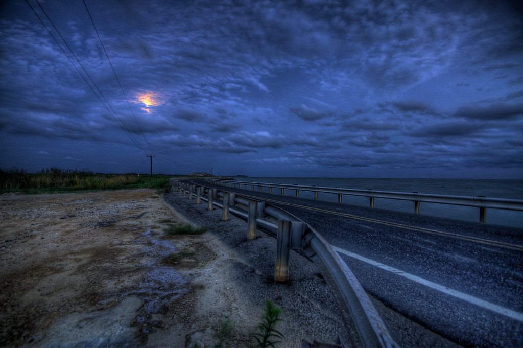
Obstructed Moon Over Hooper's Strait
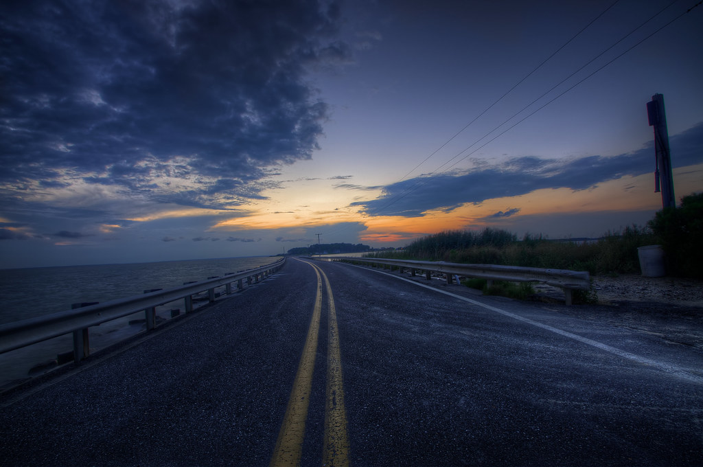
Hooper's Strait II
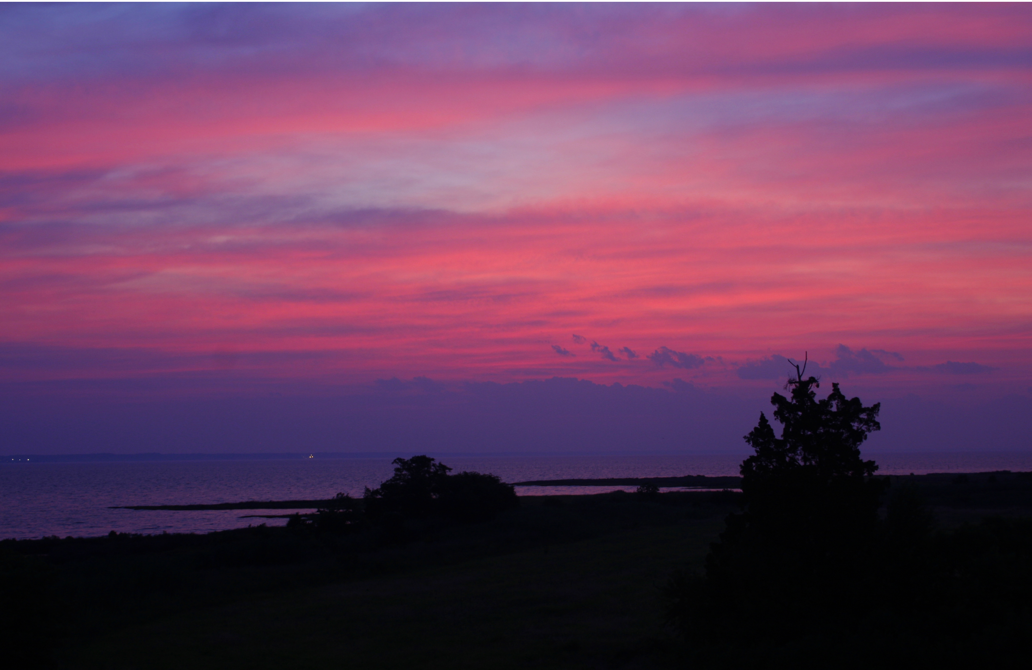
Sunset on the Chesapeake Bay

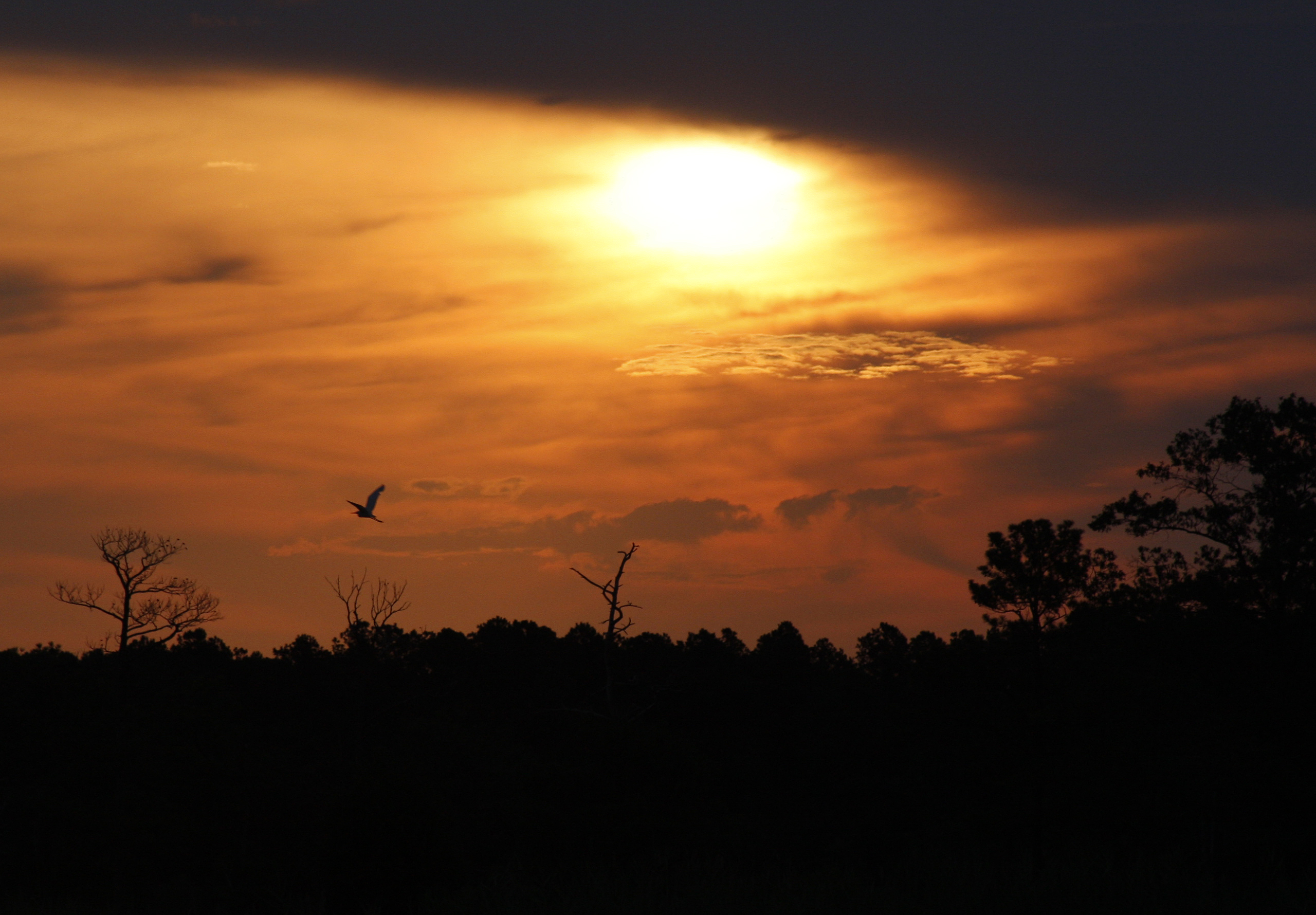
Bald Eagles Roosting at Sunset
Sunrise on Chesapeake Bay, Maryland

crackin' crabs

4th of July Eve
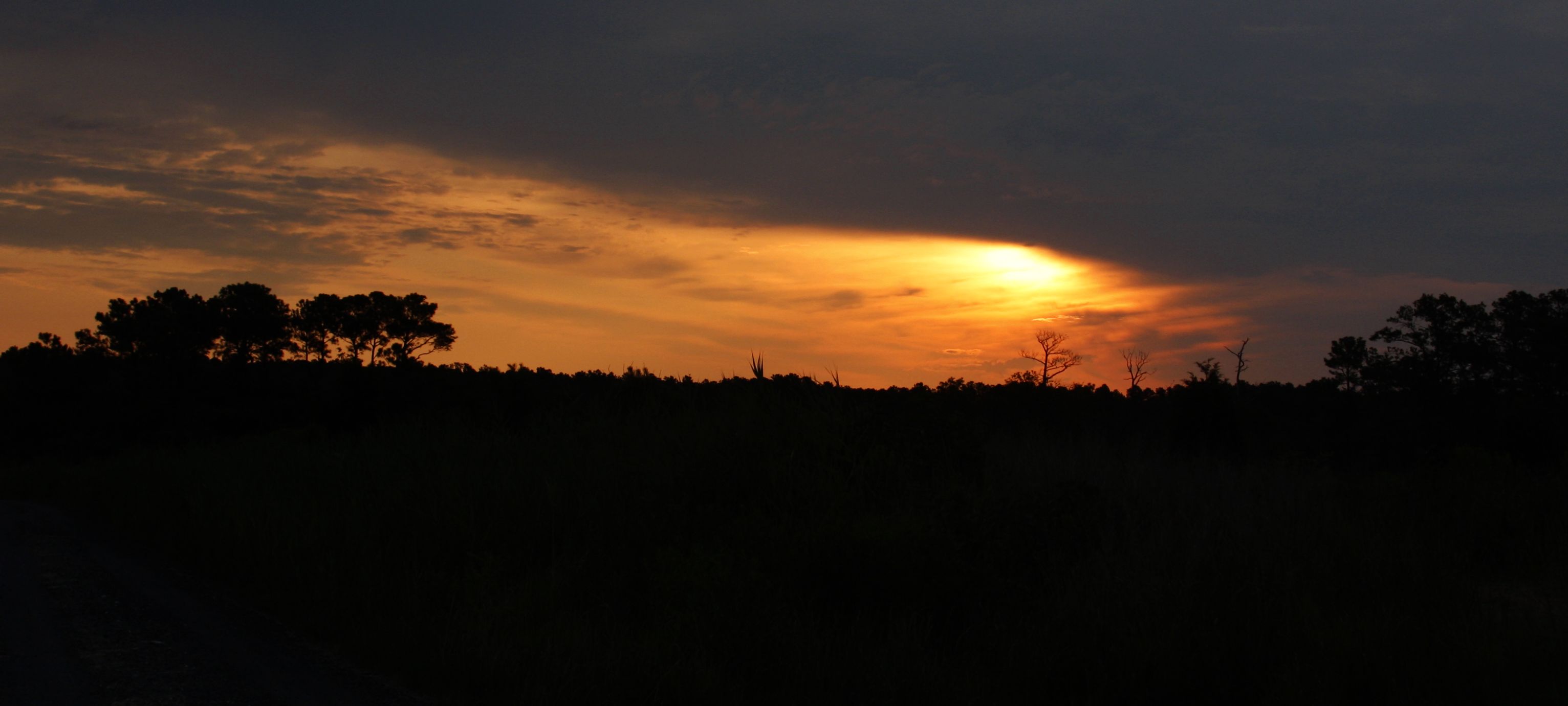
Sunrise at the Chesapeake Bay

Henbit (Lamium amplexicaule)

Ivy-leaved Speedwell (Veronica hederifolia)

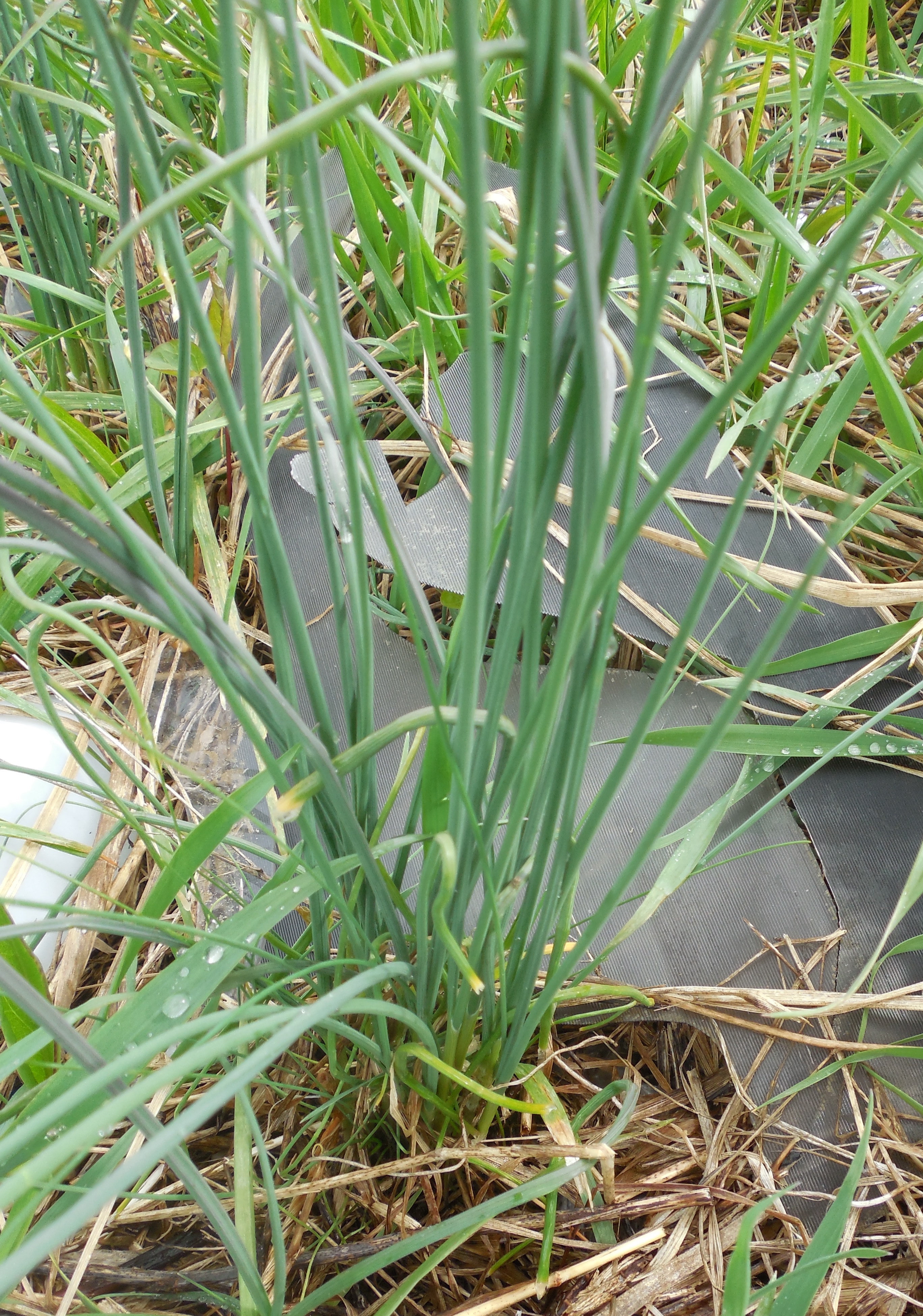
speargrass (Poa sp.)

Loblolly Pine (Pinus taeda), Eastern Red Cedar (Juniperus virginiana) & Common Reed (Phragmites australis)

speargrass (Poa sp.)
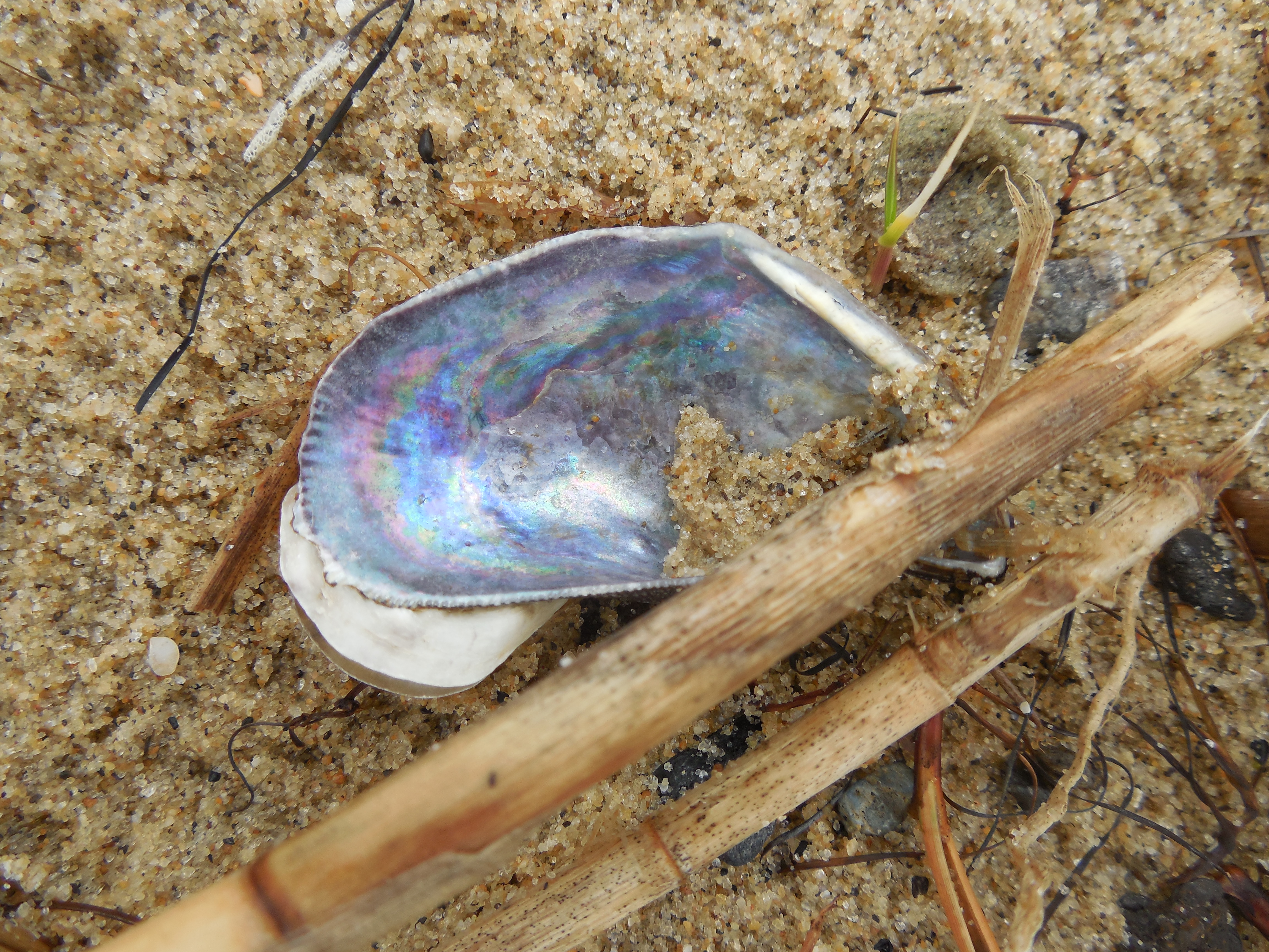
Atlantic Ribbed Mussel (Geukensia demissa) shell interior
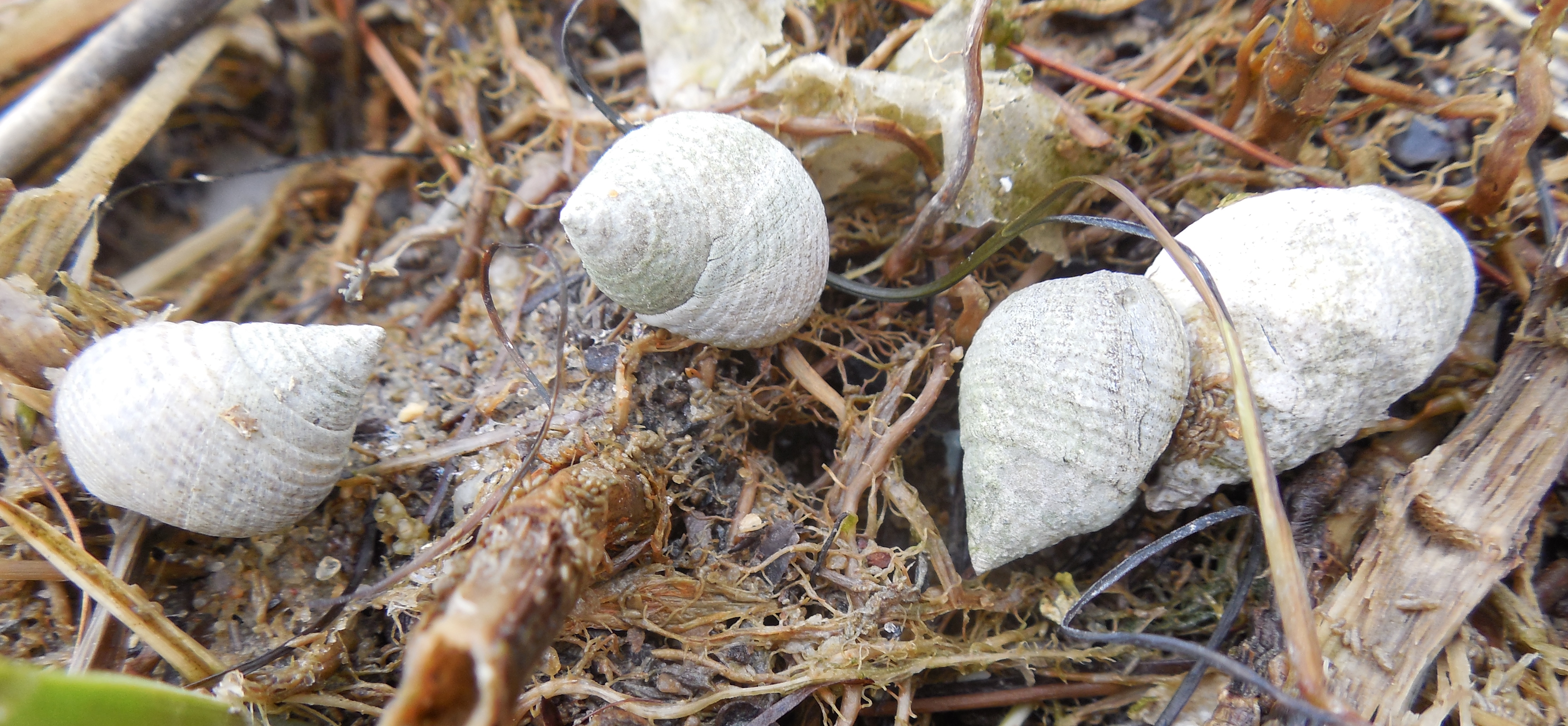
Marsh Periwinkle (Littorina irrorata)
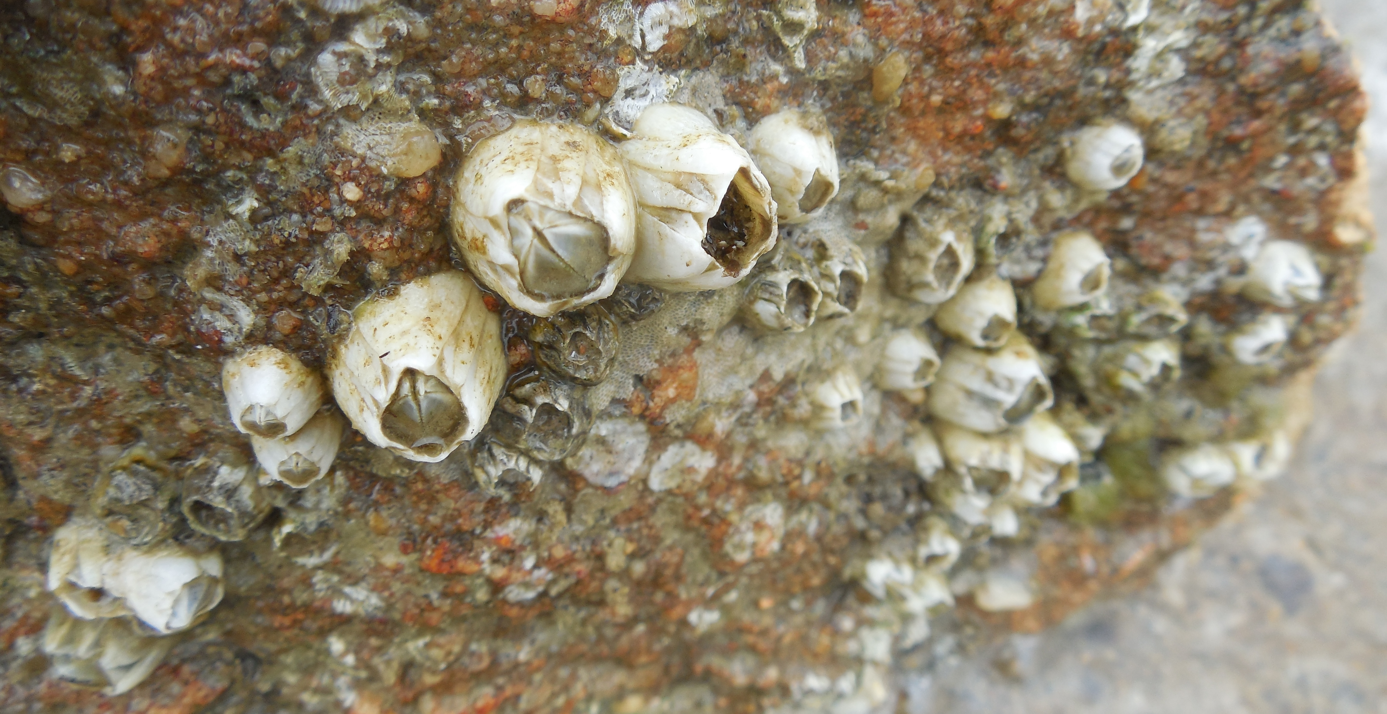
barnacles (Sessilia)

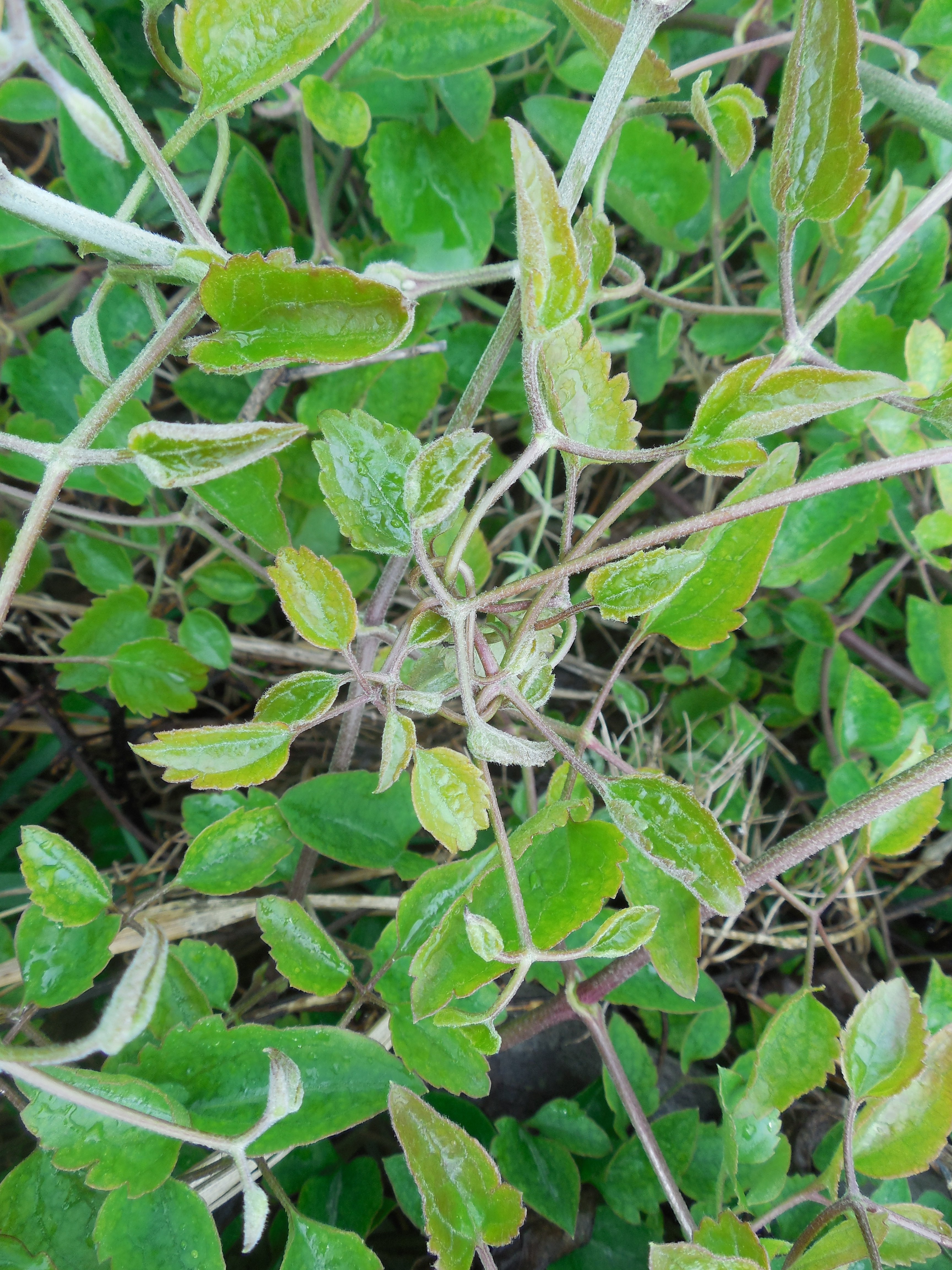
Japanese Honeysuckle (Lonicera japonica)

Common Mouse-eared Chickweed (Cerastium fontanum)
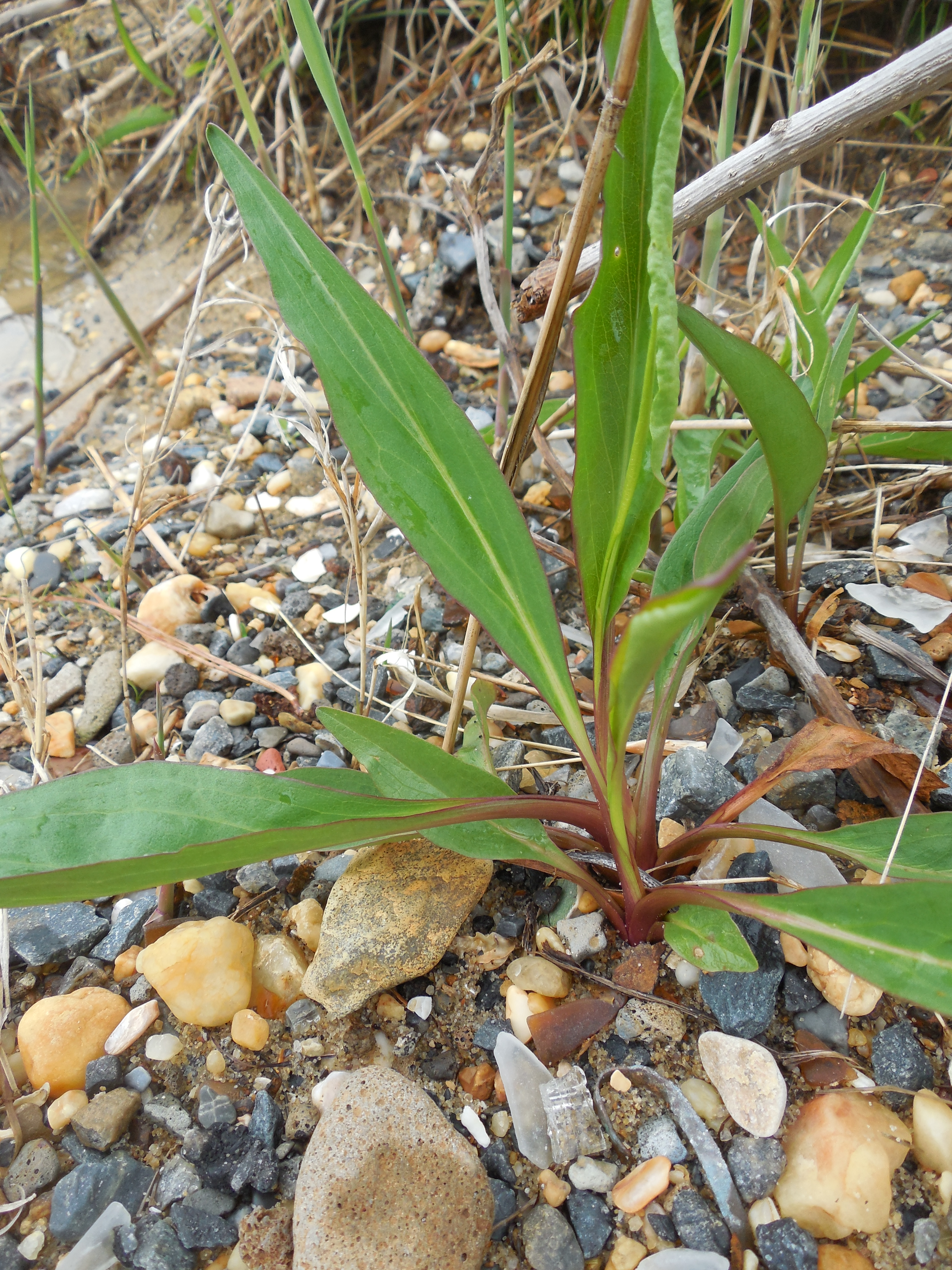
Seaside Goldenrod (Solidago sempervirens)
Clematis sp.
Field Garlic (Allium vineale)

Hoopers Island

Hoopers Island

Hoopers Island

Hoopers Island

Hoopers Island

Hoopers Island

Hoopers Island

Hoopers Island
Mapa de Hoopersville Rd, Fishing Creek, MD, EE. UU.
Buscar otro lugar
Lugares cercanos
Hoopersville Rd, Fishing Creek, MD, EE. UU.
Fishing Creek, Maryland, EE. UU.
Old House Point Rd, Fishing Creek, MD, EE. UU.
6, Hoopers Island, MD, EE. UU.
Lakesville-Crapo Rd, Church Creek, MD, EE. UU.
5, Lakes, MD, EE. UU.
Wingate Bishops Head Rd, Wingate, MD, EE. UU.
Toddville Rd, Toddville, MD, EE. UU.
Toddville, MD, EE. UU.
Condado de Dorchester, Maryland, EE. UU.
Bishops Head Rd, Crocheron, MD, EE. UU.
10, Straits, MD, EE. UU.
Phillps Gunning Club Rd, Crocheron, MD, EE. UU.
Crocheron, MD, EE. UU.
Elliott Island Rd, Vienna, MD, EE. UU.
Elliott Island Rd, Vienna, MD, EE. UU.
Blackwater National Wildlife Refuge, Maryland, EE. UU.
9, Church Creek, MD, EE. UU.
Holly Point Rd, Dameron, MD, EE. UU.
Saint Jeromes Neck Road, St Jeromes Neck Rd, Dameron, MD, EE. UU.
Búsquedas recientes
- Horas de salida y puesta de sol de Red Dog Mine, AK, USA
- Horas de salida y puesta de sol de Am Bahnhof, Am bhf, Borken, Germany
- Horas de salida y puesta de sol de 4th St E, Sonoma, CA, EE. UU.
- Horas de salida y puesta de sol de Oakland Ave, Williamsport, PA, EE. UU.
- Horas de salida y puesta de sol de Via Roma, Pieranica CR, Italia
- Horas de salida y puesta de sol de Torre del reloj, Grad, Dubrovnik (Ragusa), Croacia
- Horas de salida y puesta de sol de Trelew, Chubut, Argentina
- Horas de salida y puesta de sol de Hartfords Bluff Cir, Mt Pleasant, SC, EE. UU.
- Horas de salida y puesta de sol de Kita Ward, Kumamoto, Japón
- Horas de salida y puesta de sol de Pingtan Island, Pingtan County, Fuzhou, China