Horas de salida y puesta de sol de Gila, Nuevo México, EE. UU.
Location: Estados Unidos > Nuevo México >
Zona horaria:
America/Denver
Hora local:
2025-06-03 09:20:41
Longitud:
-108.5775687
Latitud:
32.9646574
Salida de sol de hoy:
06:05:57 AM
Puesta de sol de hoy:
08:19:16 PM
La duración del día hoy:
14h 13m 19s
Salida de sol de mañana:
06:05:46 AM
Puesta de sol de mañana:
08:19:48 PM
La duración del día mañana:
14h 14m 2s
Mostrar todas las fechas
| Fecha | Salida de sol | Puesta de sol | Duración del día |
|---|---|---|---|
| 01/01/2025 | 07:17:22 AM | 05:19:38 PM | 10h 2m 16s |
| 02/01/2025 | 07:17:31 AM | 05:20:24 PM | 10h 2m 53s |
| 03/01/2025 | 07:17:38 AM | 05:21:11 PM | 10h 3m 33s |
| 04/01/2025 | 07:17:44 AM | 05:21:59 PM | 10h 4m 15s |
| 05/01/2025 | 07:17:48 AM | 05:22:48 PM | 10h 5m 0s |
| 06/01/2025 | 07:17:50 AM | 05:23:37 PM | 10h 5m 47s |
| 07/01/2025 | 07:17:50 AM | 05:24:28 PM | 10h 6m 38s |
| 08/01/2025 | 07:17:48 AM | 05:25:19 PM | 10h 7m 31s |
| 09/01/2025 | 07:17:45 AM | 05:26:11 PM | 10h 8m 26s |
| 10/01/2025 | 07:17:39 AM | 05:27:03 PM | 10h 9m 24s |
| 11/01/2025 | 07:17:32 AM | 05:27:57 PM | 10h 10m 25s |
| 12/01/2025 | 07:17:23 AM | 05:28:50 PM | 10h 11m 27s |
| 13/01/2025 | 07:17:13 AM | 05:29:45 PM | 10h 12m 32s |
| 14/01/2025 | 07:17:00 AM | 05:30:39 PM | 10h 13m 39s |
| 15/01/2025 | 07:16:46 AM | 05:31:34 PM | 10h 14m 48s |
| 16/01/2025 | 07:16:30 AM | 05:32:30 PM | 10h 16m 0s |
| 17/01/2025 | 07:16:12 AM | 05:33:26 PM | 10h 17m 14s |
| 18/01/2025 | 07:15:52 AM | 05:34:22 PM | 10h 18m 30s |
| 19/01/2025 | 07:15:31 AM | 05:35:19 PM | 10h 19m 48s |
| 20/01/2025 | 07:15:08 AM | 05:36:15 PM | 10h 21m 7s |
| 21/01/2025 | 07:14:43 AM | 05:37:12 PM | 10h 22m 29s |
| 22/01/2025 | 07:14:17 AM | 05:38:09 PM | 10h 23m 52s |
| 23/01/2025 | 07:13:48 AM | 05:39:06 PM | 10h 25m 18s |
| 24/01/2025 | 07:13:18 AM | 05:40:03 PM | 10h 26m 45s |
| 25/01/2025 | 07:12:47 AM | 05:41:01 PM | 10h 28m 14s |
| 26/01/2025 | 07:12:14 AM | 05:41:58 PM | 10h 29m 44s |
| 27/01/2025 | 07:11:39 AM | 05:42:55 PM | 10h 31m 16s |
| 28/01/2025 | 07:11:03 AM | 05:43:53 PM | 10h 32m 50s |
| 29/01/2025 | 07:10:25 AM | 05:44:50 PM | 10h 34m 25s |
| 30/01/2025 | 07:09:45 AM | 05:45:47 PM | 10h 36m 2s |
| 31/01/2025 | 07:09:04 AM | 05:46:44 PM | 10h 37m 40s |
| 01/02/2025 | 07:08:22 AM | 05:47:41 PM | 10h 39m 19s |
| 02/02/2025 | 07:07:38 AM | 05:48:37 PM | 10h 40m 59s |
| 03/02/2025 | 07:06:53 AM | 05:49:34 PM | 10h 42m 41s |
| 04/02/2025 | 07:06:06 AM | 05:50:30 PM | 10h 44m 24s |
| 05/02/2025 | 07:05:18 AM | 05:51:26 PM | 10h 46m 8s |
| 06/02/2025 | 07:04:28 AM | 05:52:22 PM | 10h 47m 54s |
| 07/02/2025 | 07:03:37 AM | 05:53:17 PM | 10h 49m 40s |
| 08/02/2025 | 07:02:45 AM | 05:54:13 PM | 10h 51m 28s |
| 09/02/2025 | 07:01:52 AM | 05:55:08 PM | 10h 53m 16s |
| 10/02/2025 | 07:00:57 AM | 05:56:02 PM | 10h 55m 5s |
| 11/02/2025 | 07:00:02 AM | 05:56:57 PM | 10h 56m 55s |
| 12/02/2025 | 06:59:05 AM | 05:57:51 PM | 10h 58m 46s |
| 13/02/2025 | 06:58:06 AM | 05:58:44 PM | 11h 0m 38s |
| 14/02/2025 | 06:57:07 AM | 05:59:38 PM | 11h 2m 31s |
| 15/02/2025 | 06:56:07 AM | 06:00:31 PM | 11h 4m 24s |
| 16/02/2025 | 06:55:05 AM | 06:01:24 PM | 11h 6m 19s |
| 17/02/2025 | 06:54:03 AM | 06:02:16 PM | 11h 8m 13s |
| 18/02/2025 | 06:52:59 AM | 06:03:08 PM | 11h 10m 9s |
| 19/02/2025 | 06:51:55 AM | 06:04:00 PM | 11h 12m 5s |
| 20/02/2025 | 06:50:50 AM | 06:04:51 PM | 11h 14m 1s |
| 21/02/2025 | 06:49:43 AM | 06:05:42 PM | 11h 15m 59s |
| 22/02/2025 | 06:48:36 AM | 06:06:32 PM | 11h 17m 56s |
| 23/02/2025 | 06:47:28 AM | 06:07:23 PM | 11h 19m 55s |
| 24/02/2025 | 06:46:20 AM | 06:08:12 PM | 11h 21m 52s |
| 25/02/2025 | 06:45:10 AM | 06:09:02 PM | 11h 23m 52s |
| 26/02/2025 | 06:44:00 AM | 06:09:51 PM | 11h 25m 51s |
| 27/02/2025 | 06:42:49 AM | 06:10:40 PM | 11h 27m 51s |
| 28/02/2025 | 06:41:37 AM | 06:11:28 PM | 11h 29m 51s |
| 01/03/2025 | 06:40:24 AM | 06:12:17 PM | 11h 31m 53s |
| 02/03/2025 | 06:39:11 AM | 06:13:04 PM | 11h 33m 53s |
| 03/03/2025 | 06:37:58 AM | 06:13:52 PM | 11h 35m 54s |
| 04/03/2025 | 06:36:44 AM | 06:14:39 PM | 11h 37m 55s |
| 05/03/2025 | 06:35:29 AM | 06:15:26 PM | 11h 39m 57s |
| 06/03/2025 | 06:34:13 AM | 06:16:13 PM | 11h 42m 0s |
| 07/03/2025 | 06:32:58 AM | 06:16:59 PM | 11h 44m 1s |
| 08/03/2025 | 06:31:42 AM | 06:17:45 PM | 11h 46m 3s |
| 09/03/2025 | 07:30:28 AM | 07:18:29 PM | 11h 48m 1s |
| 10/03/2025 | 07:29:11 AM | 07:19:15 PM | 11h 50m 4s |
| 11/03/2025 | 07:27:54 AM | 07:20:00 PM | 11h 52m 6s |
| 12/03/2025 | 07:26:36 AM | 07:20:45 PM | 11h 54m 9s |
| 13/03/2025 | 07:25:18 AM | 07:21:30 PM | 11h 56m 12s |
| 14/03/2025 | 07:24:00 AM | 07:22:15 PM | 11h 58m 15s |
| 15/03/2025 | 07:22:41 AM | 07:22:59 PM | 12h 0m 18s |
| 16/03/2025 | 07:21:23 AM | 07:23:43 PM | 12h 2m 20s |
| 17/03/2025 | 07:20:04 AM | 07:24:28 PM | 12h 4m 24s |
| 18/03/2025 | 07:18:44 AM | 07:25:11 PM | 12h 6m 27s |
| 19/03/2025 | 07:17:25 AM | 07:25:55 PM | 12h 8m 30s |
| 20/03/2025 | 07:16:06 AM | 07:26:39 PM | 12h 10m 33s |
| 21/03/2025 | 07:14:47 AM | 07:27:22 PM | 12h 12m 35s |
| 22/03/2025 | 07:13:27 AM | 07:28:06 PM | 12h 14m 39s |
| 23/03/2025 | 07:12:08 AM | 07:28:49 PM | 12h 16m 41s |
| 24/03/2025 | 07:10:48 AM | 07:29:32 PM | 12h 18m 44s |
| 25/03/2025 | 07:09:29 AM | 07:30:16 PM | 12h 20m 47s |
| 26/03/2025 | 07:08:10 AM | 07:30:59 PM | 12h 22m 49s |
| 27/03/2025 | 07:06:50 AM | 07:31:42 PM | 12h 24m 52s |
| 28/03/2025 | 07:05:31 AM | 07:32:25 PM | 12h 26m 54s |
| 29/03/2025 | 07:04:12 AM | 07:33:08 PM | 12h 28m 56s |
| 30/03/2025 | 07:02:54 AM | 07:33:51 PM | 12h 30m 57s |
| 31/03/2025 | 07:01:35 AM | 07:34:33 PM | 12h 32m 58s |
| 01/04/2025 | 07:00:17 AM | 07:35:16 PM | 12h 34m 59s |
| 02/04/2025 | 06:58:59 AM | 07:35:59 PM | 12h 37m 0s |
| 03/04/2025 | 06:57:41 AM | 07:36:42 PM | 12h 39m 1s |
| 04/04/2025 | 06:56:24 AM | 07:37:25 PM | 12h 41m 1s |
| 05/04/2025 | 06:55:07 AM | 07:38:08 PM | 12h 43m 1s |
| 06/04/2025 | 06:53:50 AM | 07:38:51 PM | 12h 45m 1s |
| 07/04/2025 | 06:52:34 AM | 07:39:34 PM | 12h 47m 0s |
| 08/04/2025 | 06:51:19 AM | 07:40:17 PM | 12h 48m 58s |
| 09/04/2025 | 06:50:03 AM | 07:41:00 PM | 12h 50m 57s |
| 10/04/2025 | 06:48:48 AM | 07:41:43 PM | 12h 52m 55s |
| 11/04/2025 | 06:47:34 AM | 07:42:27 PM | 12h 54m 53s |
| 12/04/2025 | 06:46:21 AM | 07:43:10 PM | 12h 56m 49s |
| 13/04/2025 | 06:45:07 AM | 07:43:53 PM | 12h 58m 46s |
| 14/04/2025 | 06:43:55 AM | 07:44:37 PM | 13h 0m 42s |
| 15/04/2025 | 06:42:43 AM | 07:45:21 PM | 13h 2m 38s |
| 16/04/2025 | 06:41:32 AM | 07:46:04 PM | 13h 4m 32s |
| 17/04/2025 | 06:40:22 AM | 07:46:48 PM | 13h 6m 26s |
| 18/04/2025 | 06:39:12 AM | 07:47:32 PM | 13h 8m 20s |
| 19/04/2025 | 06:38:03 AM | 07:48:16 PM | 13h 10m 13s |
| 20/04/2025 | 06:36:55 AM | 07:49:00 PM | 13h 12m 5s |
| 21/04/2025 | 06:35:47 AM | 07:49:44 PM | 13h 13m 57s |
| 22/04/2025 | 06:34:41 AM | 07:50:28 PM | 13h 15m 47s |
| 23/04/2025 | 06:33:35 AM | 07:51:12 PM | 13h 17m 37s |
| 24/04/2025 | 06:32:30 AM | 07:51:57 PM | 13h 19m 27s |
| 25/04/2025 | 06:31:26 AM | 07:52:41 PM | 13h 21m 15s |
| 26/04/2025 | 06:30:23 AM | 07:53:25 PM | 13h 23m 2s |
| 27/04/2025 | 06:29:21 AM | 07:54:10 PM | 13h 24m 49s |
| 28/04/2025 | 06:28:20 AM | 07:54:54 PM | 13h 26m 34s |
| 29/04/2025 | 06:27:20 AM | 07:55:39 PM | 13h 28m 19s |
| 30/04/2025 | 06:26:21 AM | 07:56:24 PM | 13h 30m 3s |
| 01/05/2025 | 06:25:23 AM | 07:57:08 PM | 13h 31m 45s |
| 02/05/2025 | 06:24:26 AM | 07:57:53 PM | 13h 33m 27s |
| 03/05/2025 | 06:23:31 AM | 07:58:37 PM | 13h 35m 6s |
| 04/05/2025 | 06:22:36 AM | 07:59:22 PM | 13h 36m 46s |
| 05/05/2025 | 06:21:43 AM | 08:00:06 PM | 13h 38m 23s |
| 06/05/2025 | 06:20:51 AM | 08:00:51 PM | 13h 40m 0s |
| 07/05/2025 | 06:20:00 AM | 08:01:35 PM | 13h 41m 35s |
| 08/05/2025 | 06:19:10 AM | 08:02:19 PM | 13h 43m 9s |
| 09/05/2025 | 06:18:22 AM | 08:03:03 PM | 13h 44m 41s |
| 10/05/2025 | 06:17:34 AM | 08:03:48 PM | 13h 46m 14s |
| 11/05/2025 | 06:16:49 AM | 08:04:31 PM | 13h 47m 42s |
| 12/05/2025 | 06:16:04 AM | 08:05:15 PM | 13h 49m 11s |
| 13/05/2025 | 06:15:21 AM | 08:05:58 PM | 13h 50m 37s |
| 14/05/2025 | 06:14:39 AM | 08:06:42 PM | 13h 52m 3s |
| 15/05/2025 | 06:13:58 AM | 08:07:25 PM | 13h 53m 27s |
| 16/05/2025 | 06:13:19 AM | 08:08:07 PM | 13h 54m 48s |
| 17/05/2025 | 06:12:42 AM | 08:08:50 PM | 13h 56m 8s |
| 18/05/2025 | 06:12:06 AM | 08:09:32 PM | 13h 57m 26s |
| 19/05/2025 | 06:11:31 AM | 08:10:14 PM | 13h 58m 43s |
| 20/05/2025 | 06:10:57 AM | 08:10:55 PM | 13h 59m 58s |
| 21/05/2025 | 06:10:26 AM | 08:11:36 PM | 14h 1m 10s |
| 22/05/2025 | 06:09:55 AM | 08:12:16 PM | 14h 2m 21s |
| 23/05/2025 | 06:09:26 AM | 08:12:56 PM | 14h 3m 30s |
| 24/05/2025 | 06:08:59 AM | 08:13:36 PM | 14h 4m 37s |
| 25/05/2025 | 06:08:33 AM | 08:14:15 PM | 14h 5m 42s |
| 26/05/2025 | 06:08:09 AM | 08:14:53 PM | 14h 6m 44s |
| 27/05/2025 | 06:07:46 AM | 08:15:31 PM | 14h 7m 45s |
| 28/05/2025 | 06:07:25 AM | 08:16:08 PM | 14h 8m 43s |
| 29/05/2025 | 06:07:05 AM | 08:16:44 PM | 14h 9m 39s |
| 30/05/2025 | 06:06:47 AM | 08:17:20 PM | 14h 10m 33s |
| 31/05/2025 | 06:06:31 AM | 08:17:55 PM | 14h 11m 24s |
| 01/06/2025 | 06:06:16 AM | 08:18:29 PM | 14h 12m 13s |
| 02/06/2025 | 06:06:02 AM | 08:19:02 PM | 14h 13m 0s |
| 03/06/2025 | 06:05:50 AM | 08:19:35 PM | 14h 13m 45s |
| 04/06/2025 | 06:05:40 AM | 08:20:07 PM | 14h 14m 27s |
| 05/06/2025 | 06:05:31 AM | 08:20:37 PM | 14h 15m 6s |
| 06/06/2025 | 06:05:24 AM | 08:21:07 PM | 14h 15m 43s |
| 07/06/2025 | 06:05:18 AM | 08:21:36 PM | 14h 16m 18s |
| 08/06/2025 | 06:05:14 AM | 08:22:03 PM | 14h 16m 49s |
| 09/06/2025 | 06:05:11 AM | 08:22:30 PM | 14h 17m 19s |
| 10/06/2025 | 06:05:10 AM | 08:22:56 PM | 14h 17m 46s |
| 11/06/2025 | 06:05:10 AM | 08:23:20 PM | 14h 18m 10s |
| 12/06/2025 | 06:05:12 AM | 08:23:44 PM | 14h 18m 32s |
| 13/06/2025 | 06:05:15 AM | 08:24:06 PM | 14h 18m 51s |
| 14/06/2025 | 06:05:20 AM | 08:24:27 PM | 14h 19m 7s |
| 15/06/2025 | 06:05:26 AM | 08:24:46 PM | 14h 19m 20s |
| 16/06/2025 | 06:05:34 AM | 08:25:05 PM | 14h 19m 31s |
| 17/06/2025 | 06:05:43 AM | 08:25:22 PM | 14h 19m 39s |
| 18/06/2025 | 06:05:53 AM | 08:25:38 PM | 14h 19m 45s |
| 19/06/2025 | 06:06:04 AM | 08:25:52 PM | 14h 19m 48s |
| 20/06/2025 | 06:06:18 AM | 08:26:06 PM | 14h 19m 48s |
| 21/06/2025 | 06:06:32 AM | 08:26:17 PM | 14h 19m 45s |
| 22/06/2025 | 06:06:47 AM | 08:26:28 PM | 14h 19m 41s |
| 23/06/2025 | 06:07:04 AM | 08:26:37 PM | 14h 19m 33s |
| 24/06/2025 | 06:07:22 AM | 08:26:44 PM | 14h 19m 22s |
| 25/06/2025 | 06:07:42 AM | 08:26:50 PM | 14h 19m 8s |
| 26/06/2025 | 06:08:02 AM | 08:26:54 PM | 14h 18m 52s |
| 27/06/2025 | 06:08:24 AM | 08:26:57 PM | 14h 18m 33s |
| 28/06/2025 | 06:08:46 AM | 08:26:59 PM | 14h 18m 13s |
| 29/06/2025 | 06:09:10 AM | 08:26:59 PM | 14h 17m 49s |
| 30/06/2025 | 06:09:35 AM | 08:26:57 PM | 14h 17m 22s |
| 01/07/2025 | 06:10:01 AM | 08:26:54 PM | 14h 16m 53s |
| 02/07/2025 | 06:10:28 AM | 08:26:49 PM | 14h 16m 21s |
| 03/07/2025 | 06:10:55 AM | 08:26:43 PM | 14h 15m 48s |
| 04/07/2025 | 06:11:24 AM | 08:26:35 PM | 14h 15m 11s |
| 05/07/2025 | 06:11:54 AM | 08:26:25 PM | 14h 14m 31s |
| 06/07/2025 | 06:12:24 AM | 08:26:14 PM | 14h 13m 50s |
| 07/07/2025 | 06:12:55 AM | 08:26:02 PM | 14h 13m 7s |
| 08/07/2025 | 06:13:27 AM | 08:25:47 PM | 14h 12m 20s |
| 09/07/2025 | 06:14:00 AM | 08:25:31 PM | 14h 11m 31s |
| 10/07/2025 | 06:14:33 AM | 08:25:14 PM | 14h 10m 41s |
| 11/07/2025 | 06:15:07 AM | 08:24:55 PM | 14h 9m 48s |
| 12/07/2025 | 06:15:42 AM | 08:24:34 PM | 14h 8m 52s |
| 13/07/2025 | 06:16:18 AM | 08:24:12 PM | 14h 7m 54s |
| 14/07/2025 | 06:16:54 AM | 08:23:48 PM | 14h 6m 54s |
| 15/07/2025 | 06:17:30 AM | 08:23:23 PM | 14h 5m 53s |
| 16/07/2025 | 06:18:07 AM | 08:22:56 PM | 14h 4m 49s |
| 17/07/2025 | 06:18:45 AM | 08:22:27 PM | 14h 3m 42s |
| 18/07/2025 | 06:19:23 AM | 08:21:57 PM | 14h 2m 34s |
| 19/07/2025 | 06:20:01 AM | 08:21:26 PM | 14h 1m 25s |
| 20/07/2025 | 06:20:40 AM | 08:20:53 PM | 14h 0m 13s |
| 21/07/2025 | 06:21:19 AM | 08:20:18 PM | 13h 58m 59s |
| 22/07/2025 | 06:21:58 AM | 08:19:42 PM | 13h 57m 44s |
| 23/07/2025 | 06:22:38 AM | 08:19:05 PM | 13h 56m 27s |
| 24/07/2025 | 06:23:18 AM | 08:18:26 PM | 13h 55m 8s |
| 25/07/2025 | 06:23:58 AM | 08:17:45 PM | 13h 53m 47s |
| 26/07/2025 | 06:24:39 AM | 08:17:03 PM | 13h 52m 24s |
| 27/07/2025 | 06:25:19 AM | 08:16:20 PM | 13h 51m 1s |
| 28/07/2025 | 06:26:00 AM | 08:15:36 PM | 13h 49m 36s |
| 29/07/2025 | 06:26:41 AM | 08:14:50 PM | 13h 48m 9s |
| 30/07/2025 | 06:27:22 AM | 08:14:02 PM | 13h 46m 40s |
| 31/07/2025 | 06:28:04 AM | 08:13:14 PM | 13h 45m 10s |
| 01/08/2025 | 06:28:45 AM | 08:12:24 PM | 13h 43m 39s |
| 02/08/2025 | 06:29:26 AM | 08:11:33 PM | 13h 42m 7s |
| 03/08/2025 | 06:30:08 AM | 08:10:40 PM | 13h 40m 32s |
| 04/08/2025 | 06:30:49 AM | 08:09:46 PM | 13h 38m 57s |
| 05/08/2025 | 06:31:31 AM | 08:08:51 PM | 13h 37m 20s |
| 06/08/2025 | 06:32:12 AM | 08:07:55 PM | 13h 35m 43s |
| 07/08/2025 | 06:32:53 AM | 08:06:58 PM | 13h 34m 5s |
| 08/08/2025 | 06:33:35 AM | 08:06:00 PM | 13h 32m 25s |
| 09/08/2025 | 06:34:16 AM | 08:05:00 PM | 13h 30m 44s |
| 10/08/2025 | 06:34:57 AM | 08:04:00 PM | 13h 29m 3s |
| 11/08/2025 | 06:35:39 AM | 08:02:58 PM | 13h 27m 19s |
| 12/08/2025 | 06:36:20 AM | 08:01:55 PM | 13h 25m 35s |
| 13/08/2025 | 06:37:01 AM | 08:00:52 PM | 13h 23m 51s |
| 14/08/2025 | 06:37:42 AM | 07:59:47 PM | 13h 22m 5s |
| 15/08/2025 | 06:38:23 AM | 07:58:41 PM | 13h 20m 18s |
| 16/08/2025 | 06:39:04 AM | 07:57:35 PM | 13h 18m 31s |
| 17/08/2025 | 06:39:44 AM | 07:56:27 PM | 13h 16m 43s |
| 18/08/2025 | 06:40:25 AM | 07:55:19 PM | 13h 14m 54s |
| 19/08/2025 | 06:41:05 AM | 07:54:10 PM | 13h 13m 5s |
| 20/08/2025 | 06:41:46 AM | 07:53:00 PM | 13h 11m 14s |
| 21/08/2025 | 06:42:26 AM | 07:51:49 PM | 13h 9m 23s |
| 22/08/2025 | 06:43:06 AM | 07:50:37 PM | 13h 7m 31s |
| 23/08/2025 | 06:43:46 AM | 07:49:25 PM | 13h 5m 39s |
| 24/08/2025 | 06:44:26 AM | 07:48:12 PM | 13h 3m 46s |
| 25/08/2025 | 06:45:06 AM | 07:46:58 PM | 13h 1m 52s |
| 26/08/2025 | 06:45:46 AM | 07:45:44 PM | 12h 59m 58s |
| 27/08/2025 | 06:46:25 AM | 07:44:29 PM | 12h 58m 4s |
| 28/08/2025 | 06:47:05 AM | 07:43:13 PM | 12h 56m 8s |
| 29/08/2025 | 06:47:44 AM | 07:41:57 PM | 12h 54m 13s |
| 30/08/2025 | 06:48:23 AM | 07:40:40 PM | 12h 52m 17s |
| 31/08/2025 | 06:49:02 AM | 07:39:23 PM | 12h 50m 21s |
| 01/09/2025 | 06:49:41 AM | 07:38:05 PM | 12h 48m 24s |
| 02/09/2025 | 06:50:20 AM | 07:36:47 PM | 12h 46m 27s |
| 03/09/2025 | 06:50:59 AM | 07:35:29 PM | 12h 44m 30s |
| 04/09/2025 | 06:51:38 AM | 07:34:09 PM | 12h 42m 31s |
| 05/09/2025 | 06:52:17 AM | 07:32:50 PM | 12h 40m 33s |
| 06/09/2025 | 06:52:56 AM | 07:31:30 PM | 12h 38m 34s |
| 07/09/2025 | 06:53:35 AM | 07:30:10 PM | 12h 36m 35s |
| 08/09/2025 | 06:54:13 AM | 07:28:50 PM | 12h 34m 37s |
| 09/09/2025 | 06:54:52 AM | 07:27:29 PM | 12h 32m 37s |
| 10/09/2025 | 06:55:31 AM | 07:26:08 PM | 12h 30m 37s |
| 11/09/2025 | 06:56:09 AM | 07:24:47 PM | 12h 28m 38s |
| 12/09/2025 | 06:56:48 AM | 07:23:26 PM | 12h 26m 38s |
| 13/09/2025 | 06:57:27 AM | 07:22:04 PM | 12h 24m 37s |
| 14/09/2025 | 06:58:05 AM | 07:20:43 PM | 12h 22m 38s |
| 15/09/2025 | 06:58:44 AM | 07:19:21 PM | 12h 20m 37s |
| 16/09/2025 | 06:59:23 AM | 07:17:59 PM | 12h 18m 36s |
| 17/09/2025 | 07:00:02 AM | 07:16:37 PM | 12h 16m 35s |
| 18/09/2025 | 07:00:41 AM | 07:15:15 PM | 12h 14m 34s |
| 19/09/2025 | 07:01:20 AM | 07:13:54 PM | 12h 12m 34s |
| 20/09/2025 | 07:02:00 AM | 07:12:32 PM | 12h 10m 32s |
| 21/09/2025 | 07:02:39 AM | 07:11:10 PM | 12h 8m 31s |
| 22/09/2025 | 07:03:18 AM | 07:09:48 PM | 12h 6m 30s |
| 23/09/2025 | 07:03:58 AM | 07:08:27 PM | 12h 4m 29s |
| 24/09/2025 | 07:04:38 AM | 07:07:06 PM | 12h 2m 28s |
| 25/09/2025 | 07:05:18 AM | 07:05:44 PM | 12h 0m 26s |
| 26/09/2025 | 07:05:58 AM | 07:04:24 PM | 11h 58m 26s |
| 27/09/2025 | 07:06:38 AM | 07:03:03 PM | 11h 56m 25s |
| 28/09/2025 | 07:07:19 AM | 07:01:42 PM | 11h 54m 23s |
| 29/09/2025 | 07:08:00 AM | 07:00:22 PM | 11h 52m 22s |
| 30/09/2025 | 07:08:41 AM | 06:59:02 PM | 11h 50m 21s |
| 01/10/2025 | 07:09:22 AM | 06:57:43 PM | 11h 48m 21s |
| 02/10/2025 | 07:10:04 AM | 06:56:24 PM | 11h 46m 20s |
| 03/10/2025 | 07:10:45 AM | 06:55:05 PM | 11h 44m 20s |
| 04/10/2025 | 07:11:27 AM | 06:53:47 PM | 11h 42m 20s |
| 05/10/2025 | 07:12:10 AM | 06:52:29 PM | 11h 40m 19s |
| 06/10/2025 | 07:12:52 AM | 06:51:12 PM | 11h 38m 20s |
| 07/10/2025 | 07:13:35 AM | 06:49:55 PM | 11h 36m 20s |
| 08/10/2025 | 07:14:19 AM | 06:48:39 PM | 11h 34m 20s |
| 09/10/2025 | 07:15:02 AM | 06:47:23 PM | 11h 32m 21s |
| 10/10/2025 | 07:15:46 AM | 06:46:08 PM | 11h 30m 22s |
| 11/10/2025 | 07:16:31 AM | 06:44:54 PM | 11h 28m 23s |
| 12/10/2025 | 07:17:15 AM | 06:43:41 PM | 11h 26m 26s |
| 13/10/2025 | 07:18:00 AM | 06:42:28 PM | 11h 24m 28s |
| 14/10/2025 | 07:18:46 AM | 06:41:15 PM | 11h 22m 29s |
| 15/10/2025 | 07:19:31 AM | 06:40:04 PM | 11h 20m 33s |
| 16/10/2025 | 07:20:17 AM | 06:38:53 PM | 11h 18m 36s |
| 17/10/2025 | 07:21:04 AM | 06:37:44 PM | 11h 16m 40s |
| 18/10/2025 | 07:21:51 AM | 06:36:35 PM | 11h 14m 44s |
| 19/10/2025 | 07:22:38 AM | 06:35:27 PM | 11h 12m 49s |
| 20/10/2025 | 07:23:25 AM | 06:34:20 PM | 11h 10m 55s |
| 21/10/2025 | 07:24:13 AM | 06:33:13 PM | 11h 9m 0s |
| 22/10/2025 | 07:25:02 AM | 06:32:08 PM | 11h 7m 6s |
| 23/10/2025 | 07:25:51 AM | 06:31:04 PM | 11h 5m 13s |
| 24/10/2025 | 07:26:40 AM | 06:30:01 PM | 11h 3m 21s |
| 25/10/2025 | 07:27:29 AM | 06:28:59 PM | 11h 1m 30s |
| 26/10/2025 | 07:28:19 AM | 06:27:58 PM | 10h 59m 39s |
| 27/10/2025 | 07:29:09 AM | 06:26:58 PM | 10h 57m 49s |
| 28/10/2025 | 07:30:00 AM | 06:26:00 PM | 10h 56m 0s |
| 29/10/2025 | 07:30:51 AM | 06:25:02 PM | 10h 54m 11s |
| 30/10/2025 | 07:31:42 AM | 06:24:06 PM | 10h 52m 24s |
| 31/10/2025 | 07:32:34 AM | 06:23:11 PM | 10h 50m 37s |
| 01/11/2025 | 07:33:26 AM | 06:22:17 PM | 10h 48m 51s |
| 02/11/2025 | 06:34:20 AM | 05:21:23 PM | 10h 47m 3s |
| 03/11/2025 | 06:35:13 AM | 05:20:32 PM | 10h 45m 19s |
| 04/11/2025 | 06:36:06 AM | 05:19:42 PM | 10h 43m 36s |
| 05/11/2025 | 06:36:59 AM | 05:18:54 PM | 10h 41m 55s |
| 06/11/2025 | 06:37:52 AM | 05:18:07 PM | 10h 40m 15s |
| 07/11/2025 | 06:38:46 AM | 05:17:22 PM | 10h 38m 36s |
| 08/11/2025 | 06:39:40 AM | 05:16:38 PM | 10h 36m 58s |
| 09/11/2025 | 06:40:34 AM | 05:15:56 PM | 10h 35m 22s |
| 10/11/2025 | 06:41:28 AM | 05:15:15 PM | 10h 33m 47s |
| 11/11/2025 | 06:42:22 AM | 05:14:36 PM | 10h 32m 14s |
| 12/11/2025 | 06:43:17 AM | 05:13:58 PM | 10h 30m 41s |
| 13/11/2025 | 06:44:11 AM | 05:13:22 PM | 10h 29m 11s |
| 14/11/2025 | 06:45:06 AM | 05:12:48 PM | 10h 27m 42s |
| 15/11/2025 | 06:46:01 AM | 05:12:15 PM | 10h 26m 14s |
| 16/11/2025 | 06:46:55 AM | 05:11:44 PM | 10h 24m 49s |
| 17/11/2025 | 06:47:50 AM | 05:11:14 PM | 10h 23m 24s |
| 18/11/2025 | 06:48:44 AM | 05:10:47 PM | 10h 22m 3s |
| 19/11/2025 | 06:49:39 AM | 05:10:21 PM | 10h 20m 42s |
| 20/11/2025 | 06:50:33 AM | 05:09:56 PM | 10h 19m 23s |
| 21/11/2025 | 06:51:27 AM | 05:09:34 PM | 10h 18m 7s |
| 22/11/2025 | 06:52:21 AM | 05:09:13 PM | 10h 16m 52s |
| 23/11/2025 | 06:53:15 AM | 05:08:54 PM | 10h 15m 39s |
| 24/11/2025 | 06:54:08 AM | 05:08:37 PM | 10h 14m 29s |
| 25/11/2025 | 06:55:02 AM | 05:08:22 PM | 10h 13m 20s |
| 26/11/2025 | 06:55:54 AM | 05:08:09 PM | 10h 12m 15s |
| 27/11/2025 | 06:56:47 AM | 05:07:57 PM | 10h 11m 10s |
| 28/11/2025 | 06:57:39 AM | 05:07:47 PM | 10h 10m 8s |
| 29/11/2025 | 06:58:30 AM | 05:07:39 PM | 10h 9m 9s |
| 30/11/2025 | 06:59:21 AM | 05:07:33 PM | 10h 8m 12s |
| 01/12/2025 | 07:00:11 AM | 05:07:29 PM | 10h 7m 18s |
| 02/12/2025 | 07:01:01 AM | 05:07:26 PM | 10h 6m 25s |
| 03/12/2025 | 07:01:50 AM | 05:07:26 PM | 10h 5m 36s |
| 04/12/2025 | 07:02:38 AM | 05:07:27 PM | 10h 4m 49s |
| 05/12/2025 | 07:03:25 AM | 05:07:30 PM | 10h 4m 5s |
| 06/12/2025 | 07:04:12 AM | 05:07:35 PM | 10h 3m 23s |
| 07/12/2025 | 07:04:58 AM | 05:07:42 PM | 10h 2m 44s |
| 08/12/2025 | 07:05:42 AM | 05:07:51 PM | 10h 2m 9s |
| 09/12/2025 | 07:06:26 AM | 05:08:01 PM | 10h 1m 35s |
| 10/12/2025 | 07:07:09 AM | 05:08:14 PM | 10h 1m 5s |
| 11/12/2025 | 07:07:51 AM | 05:08:28 PM | 10h 0m 37s |
| 12/12/2025 | 07:08:32 AM | 05:08:43 PM | 10h 0m 11s |
| 13/12/2025 | 07:09:12 AM | 05:09:01 PM | 9h 59m 49s |
| 14/12/2025 | 07:09:50 AM | 05:09:20 PM | 9h 59m 30s |
| 15/12/2025 | 07:10:27 AM | 05:09:41 PM | 9h 59m 14s |
| 16/12/2025 | 07:11:03 AM | 05:10:04 PM | 9h 59m 1s |
| 17/12/2025 | 07:11:38 AM | 05:10:28 PM | 9h 58m 50s |
| 18/12/2025 | 07:12:11 AM | 05:10:54 PM | 9h 58m 43s |
| 19/12/2025 | 07:12:43 AM | 05:11:21 PM | 9h 58m 38s |
| 20/12/2025 | 07:13:14 AM | 05:11:50 PM | 9h 58m 36s |
| 21/12/2025 | 07:13:43 AM | 05:12:21 PM | 9h 58m 38s |
| 22/12/2025 | 07:14:11 AM | 05:12:53 PM | 9h 58m 42s |
| 23/12/2025 | 07:14:37 AM | 05:13:26 PM | 9h 58m 49s |
| 24/12/2025 | 07:15:02 AM | 05:14:01 PM | 9h 58m 59s |
| 25/12/2025 | 07:15:25 AM | 05:14:38 PM | 9h 59m 13s |
| 26/12/2025 | 07:15:46 AM | 05:15:15 PM | 9h 59m 29s |
| 27/12/2025 | 07:16:06 AM | 05:15:54 PM | 9h 59m 48s |
| 28/12/2025 | 07:16:24 AM | 05:16:34 PM | 10h 0m 10s |
| 29/12/2025 | 07:16:40 AM | 05:17:16 PM | 10h 0m 36s |
| 30/12/2025 | 07:16:55 AM | 05:17:58 PM | 10h 1m 3s |
| 31/12/2025 | 07:17:08 AM | 05:18:42 PM | 10h 1m 34s |
Fotos
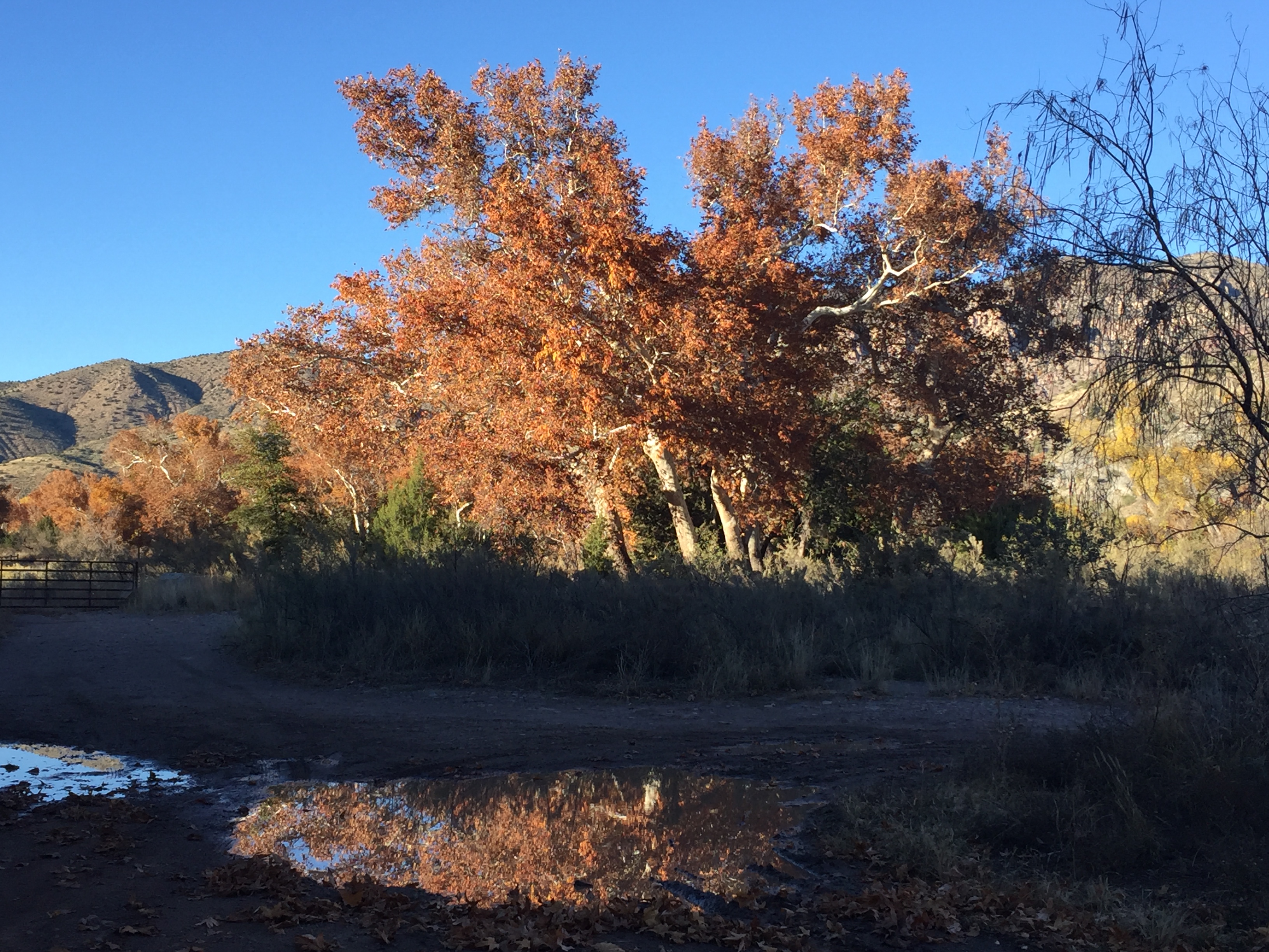
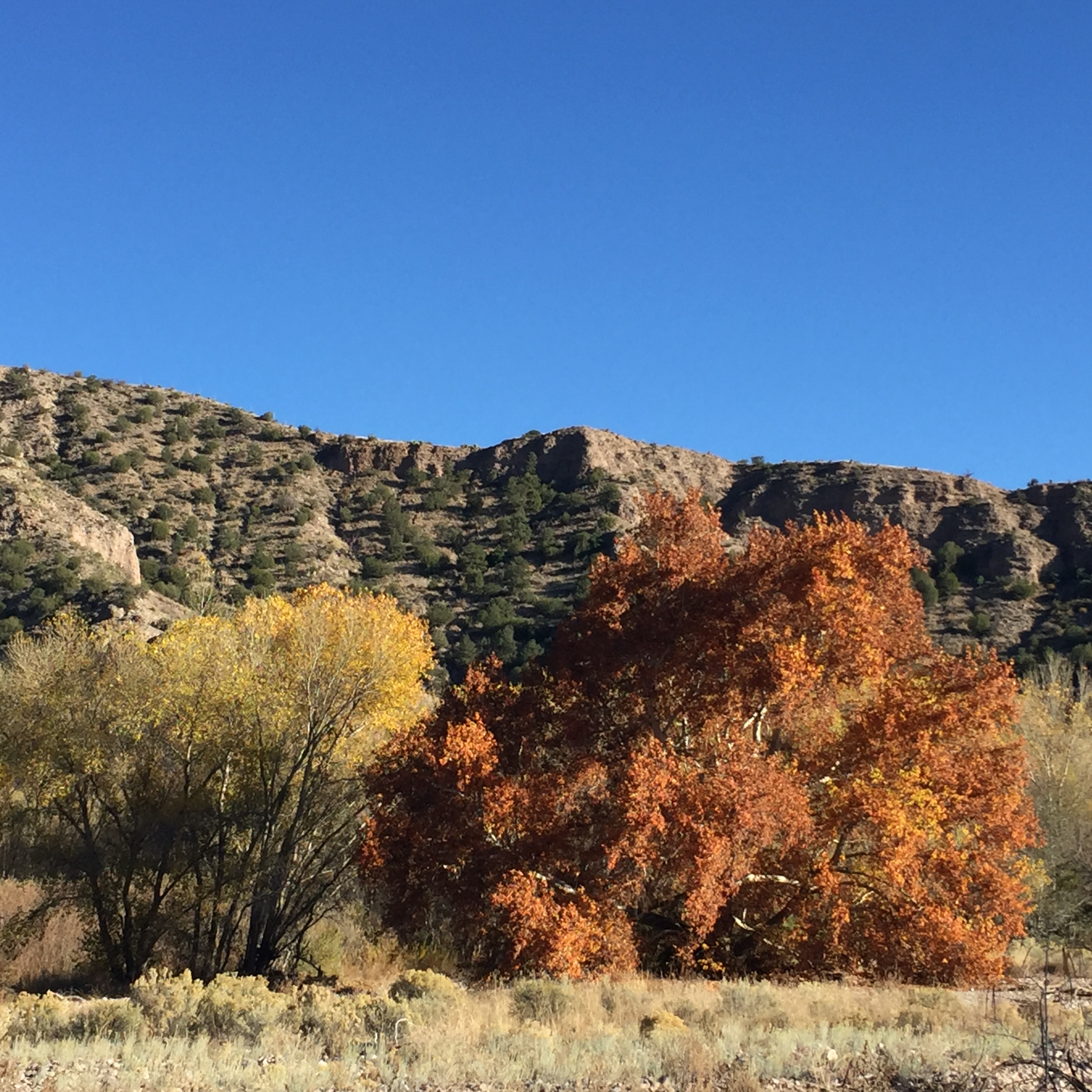
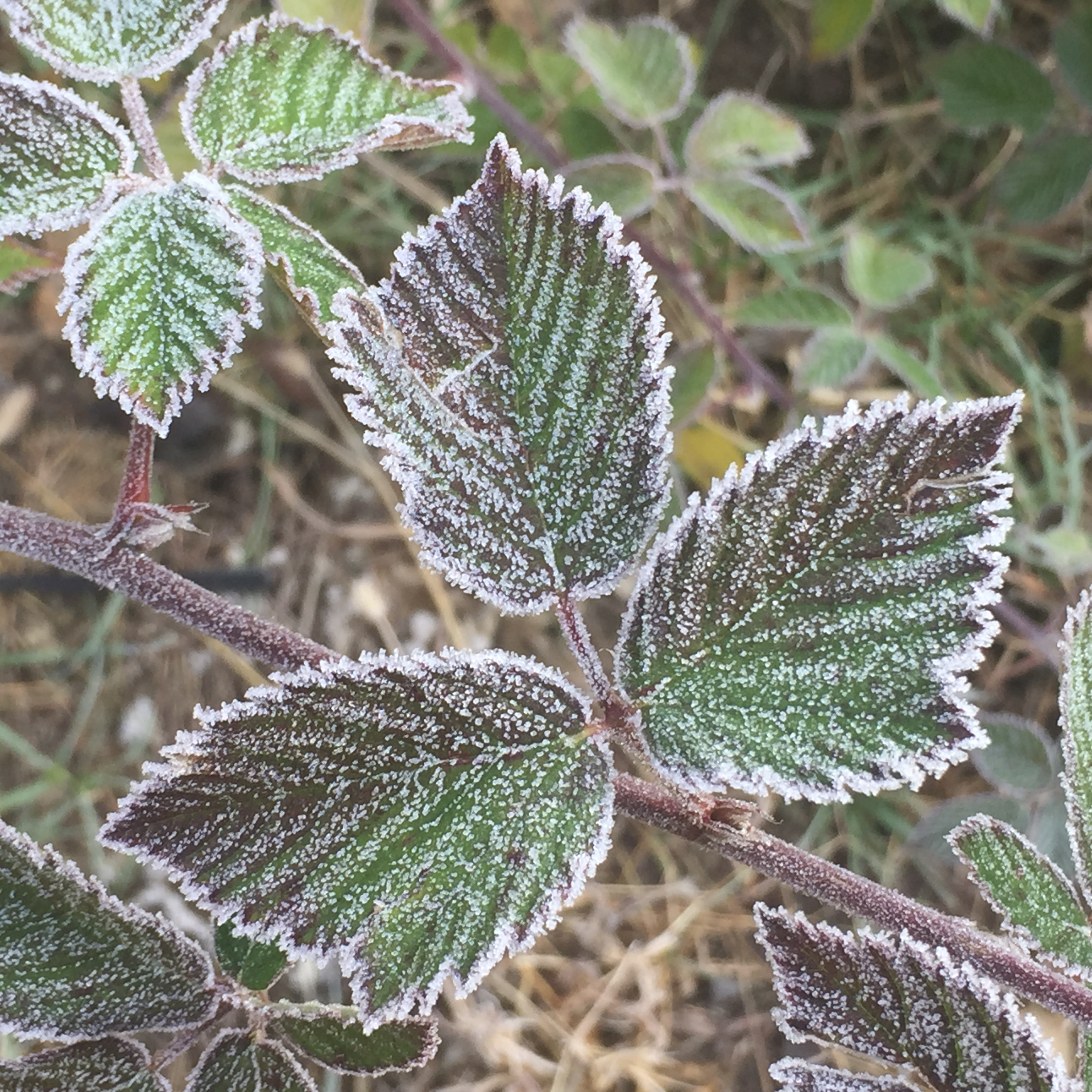
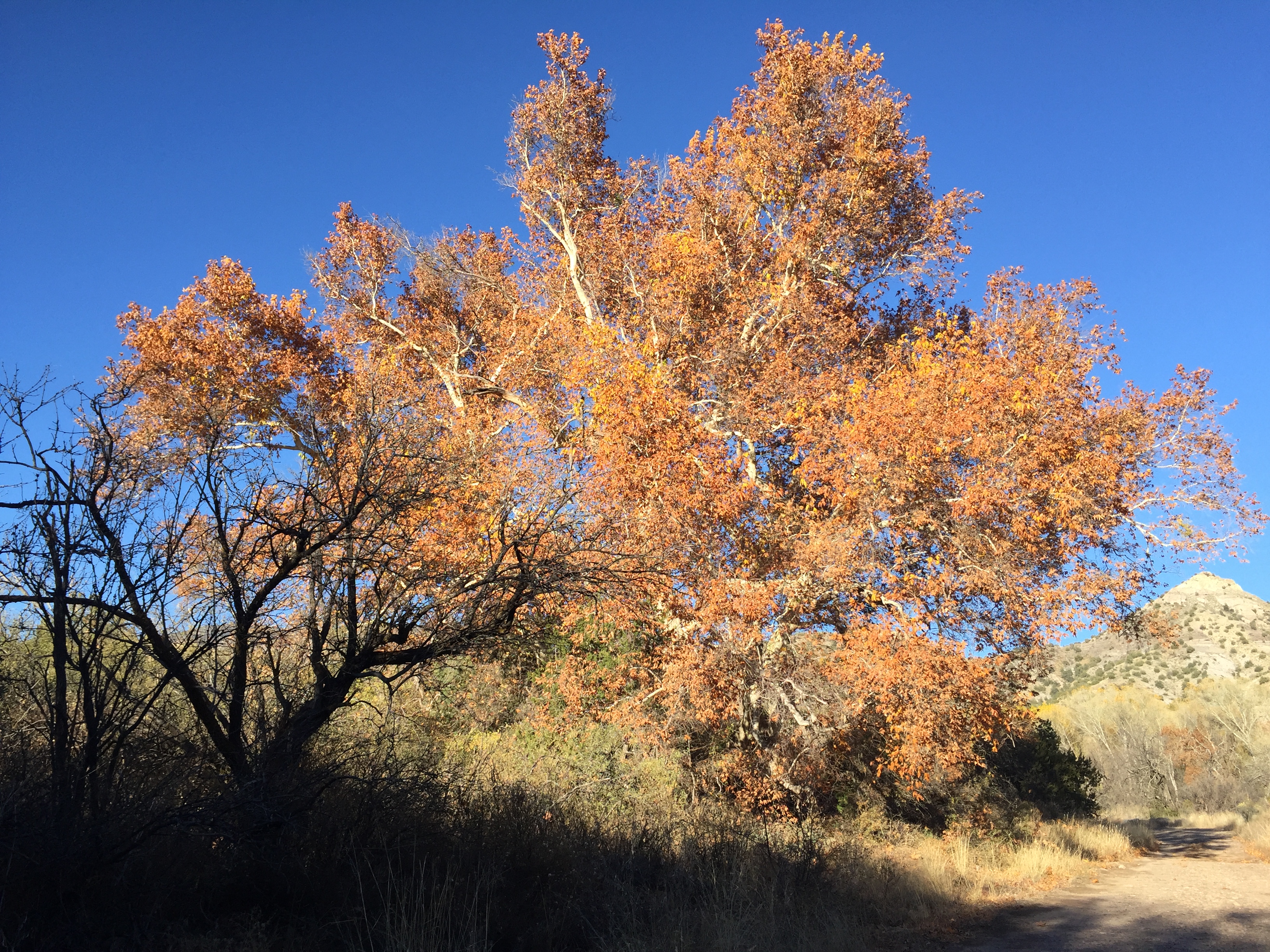
Fall/Winter in the Gila
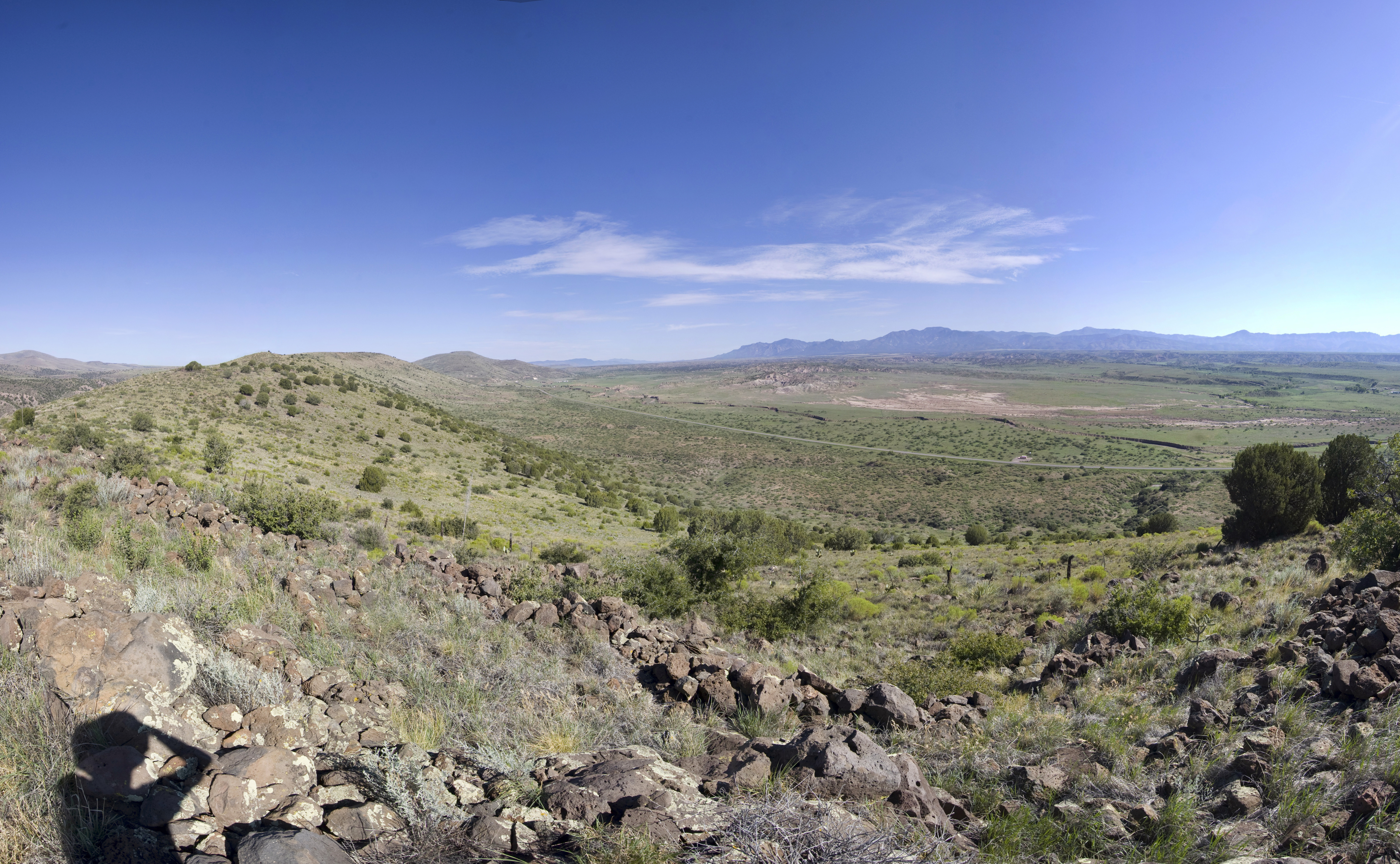
Area near Silver City, NM
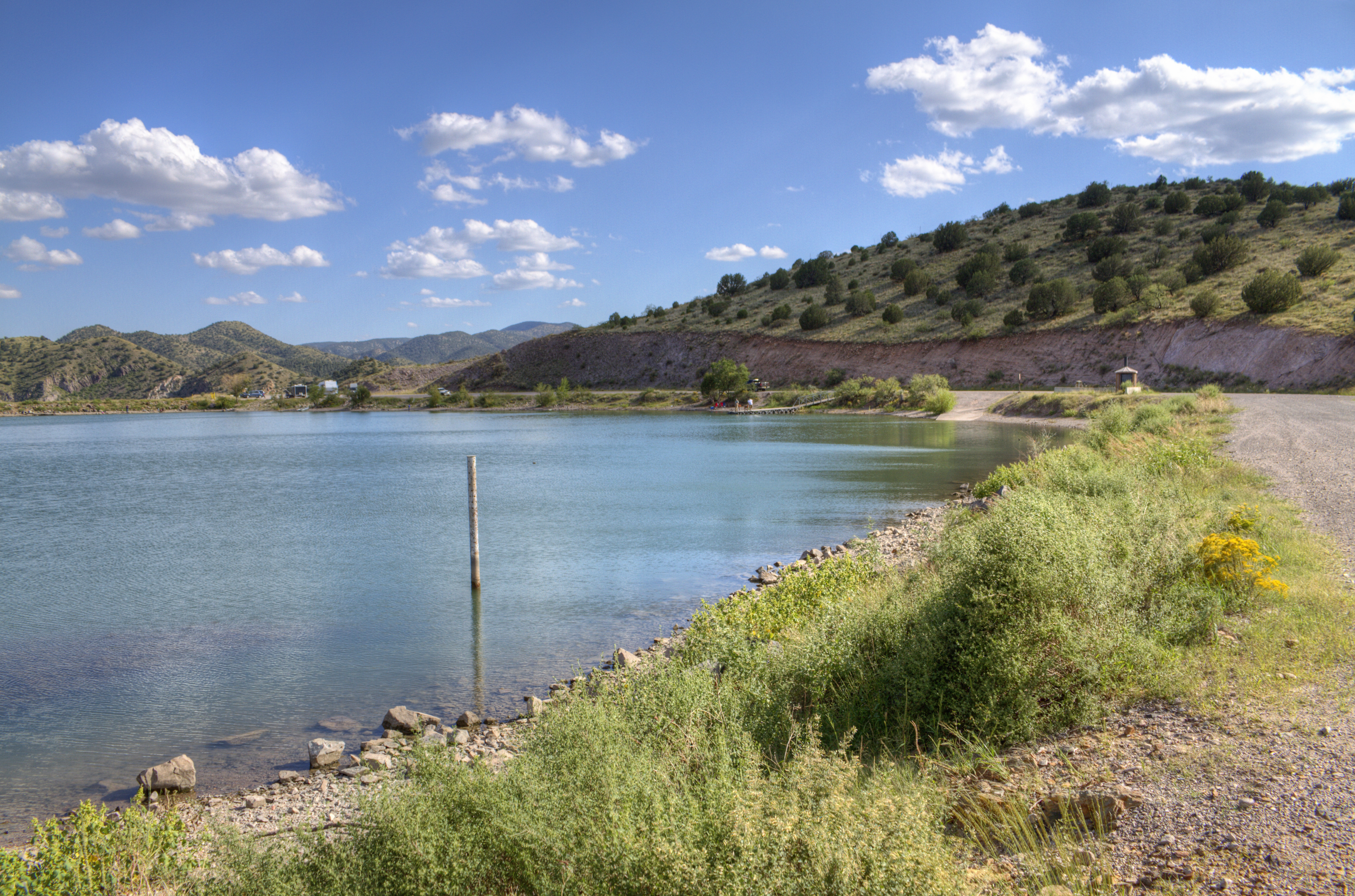
Bill Evans Lake

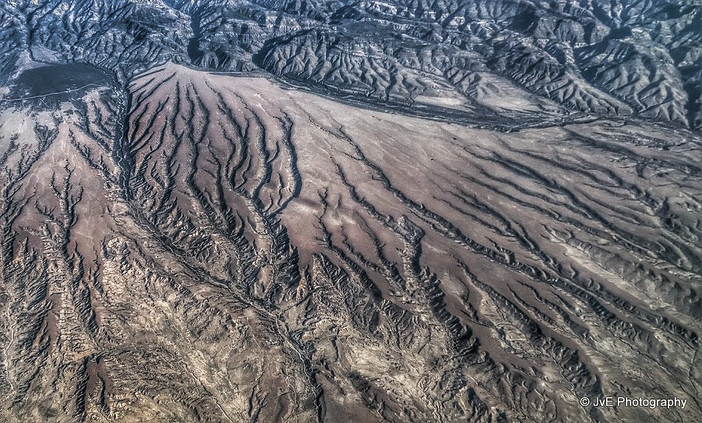
Aerial view at the Mimbres Mountains, MN

View at San Andres National Wildlife Refuge
Old Native American Outpost
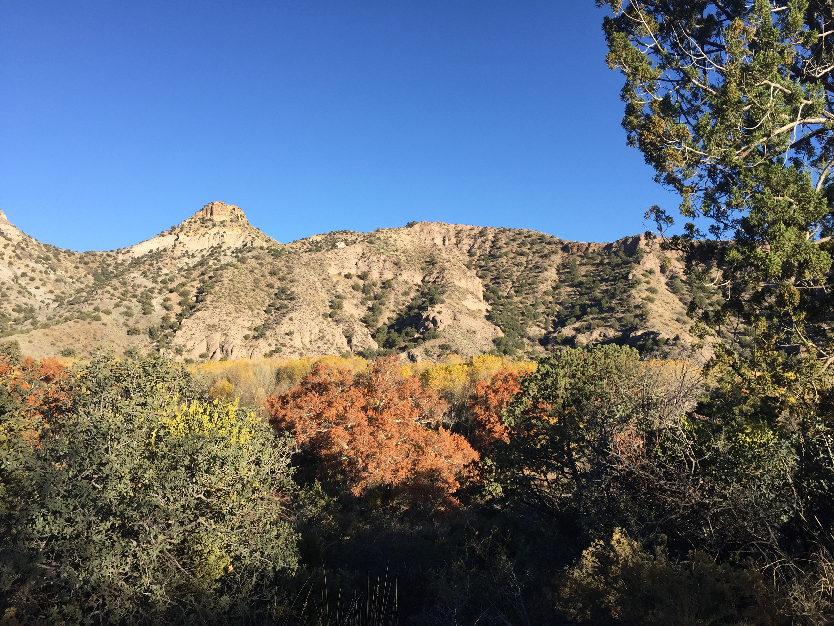
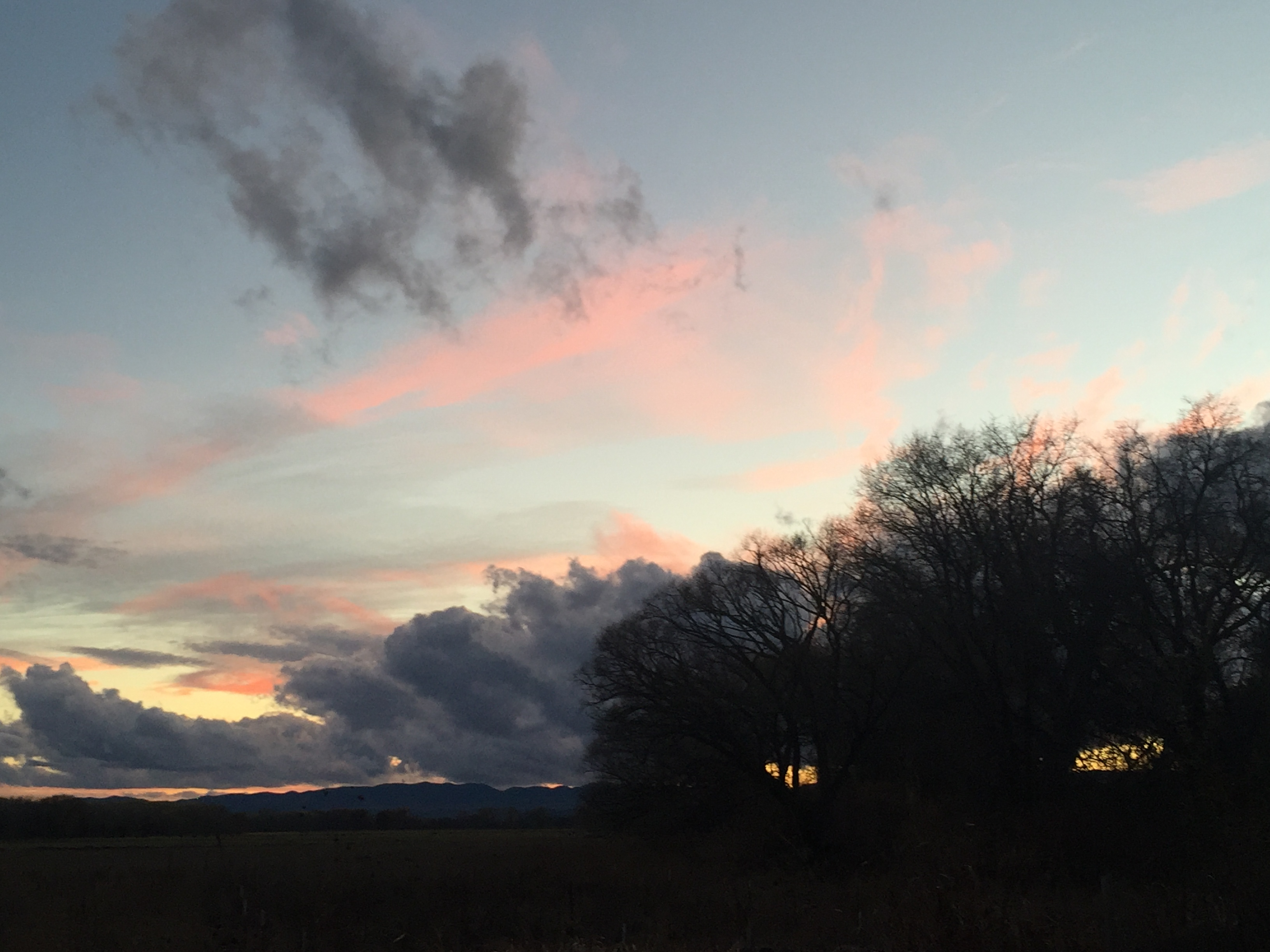
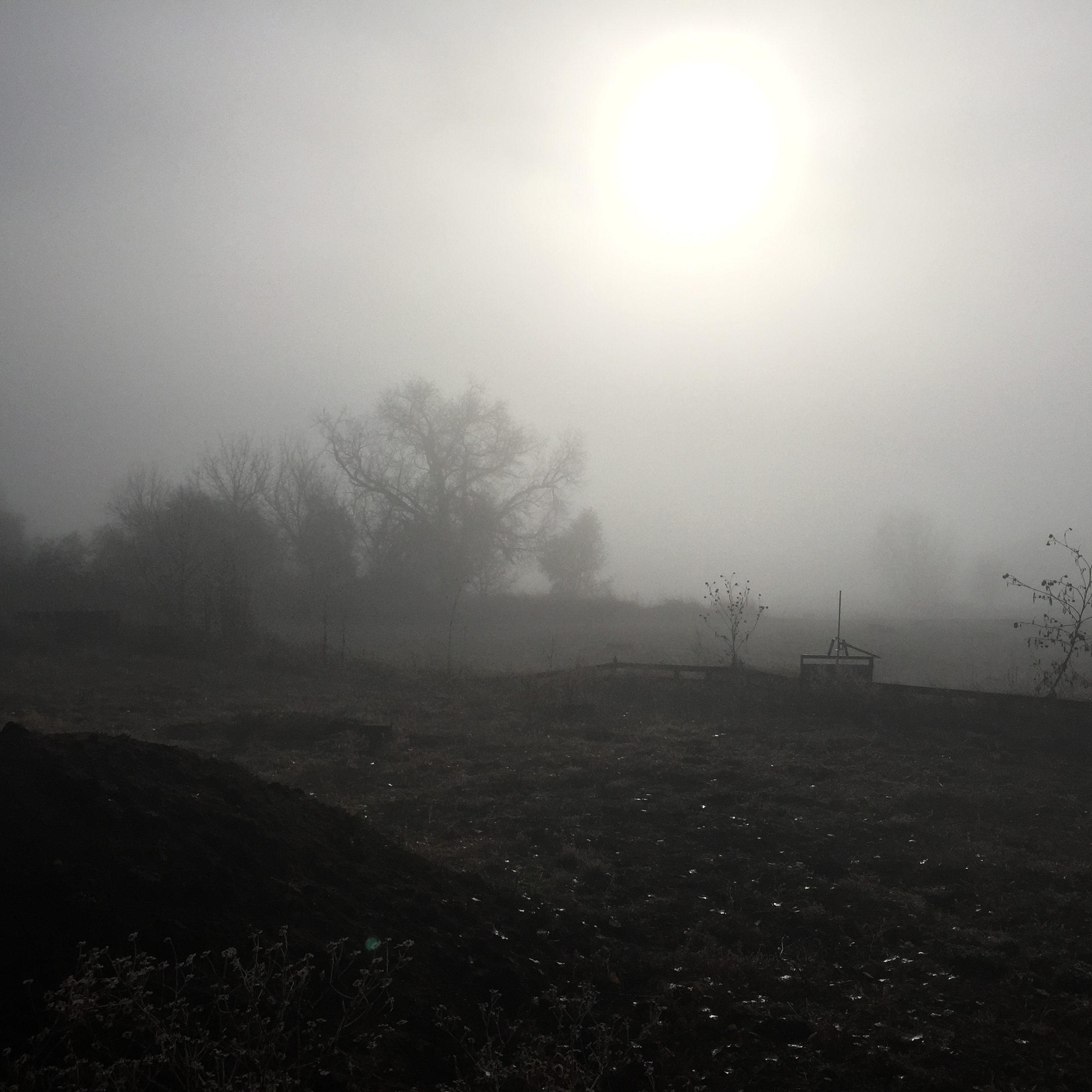
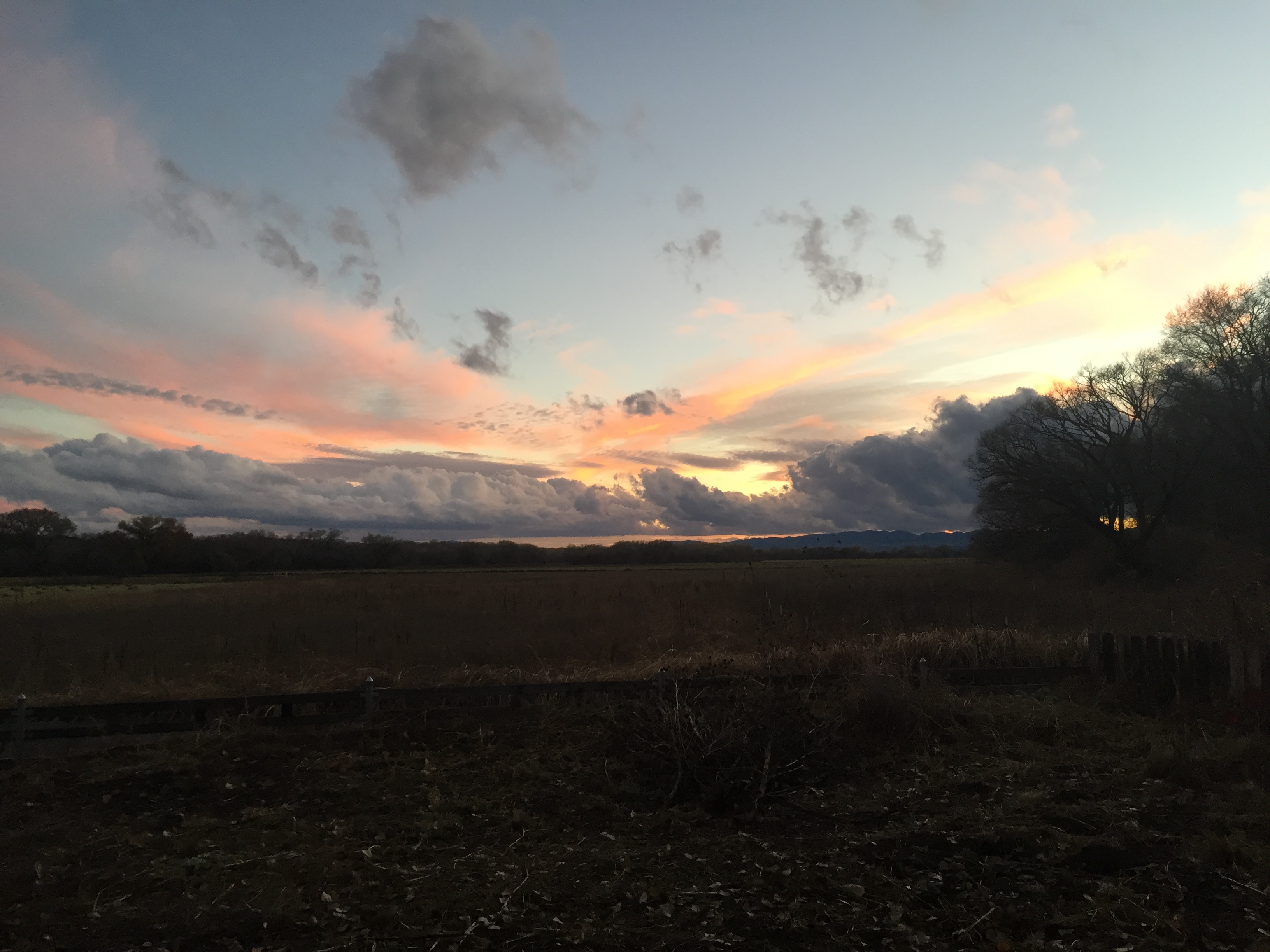
Fall/Winter in the Gila
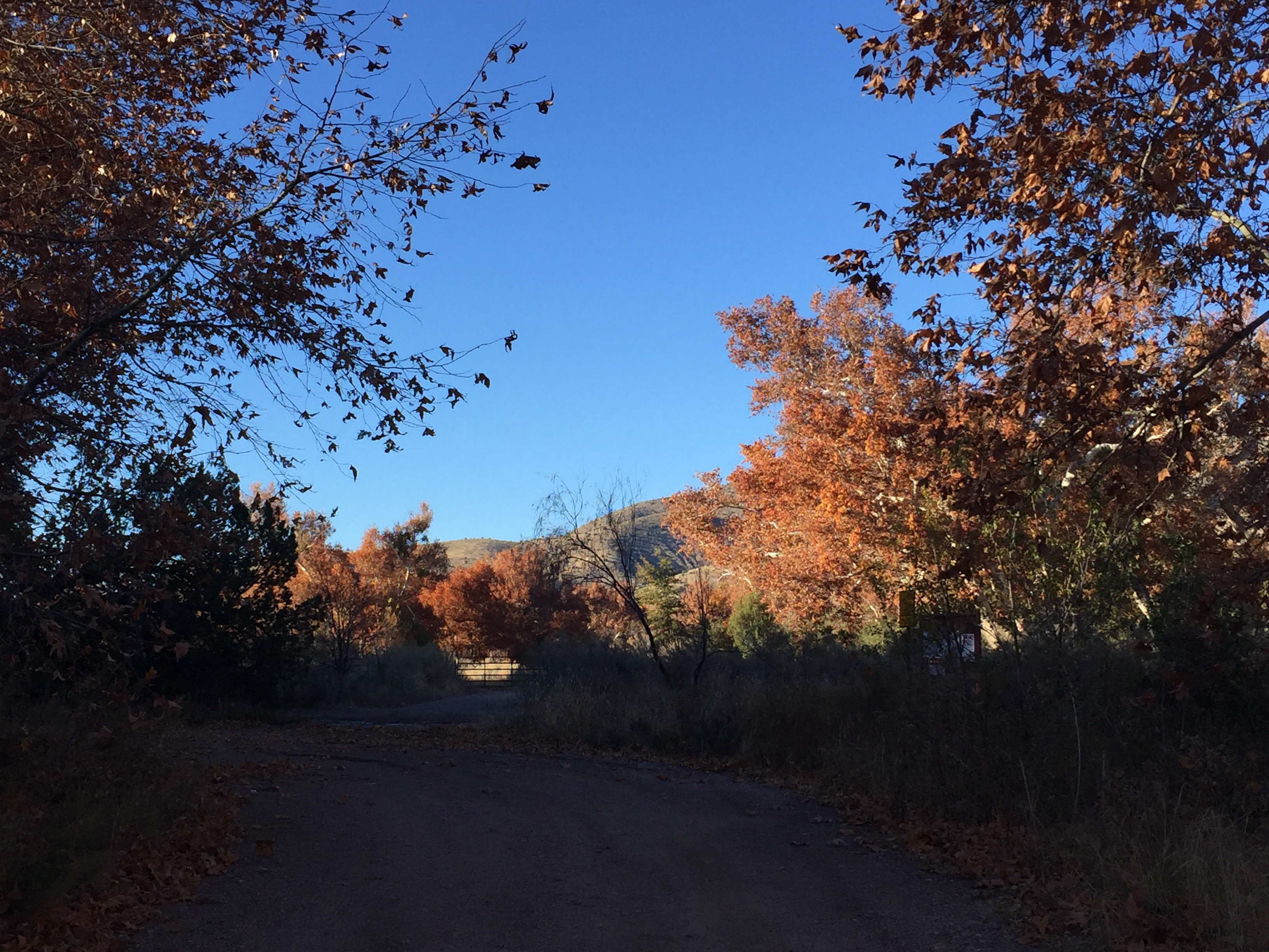
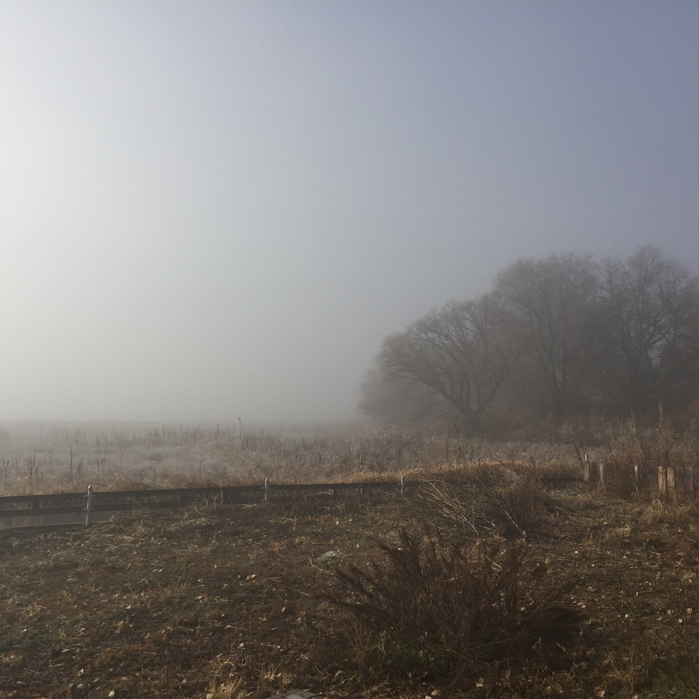
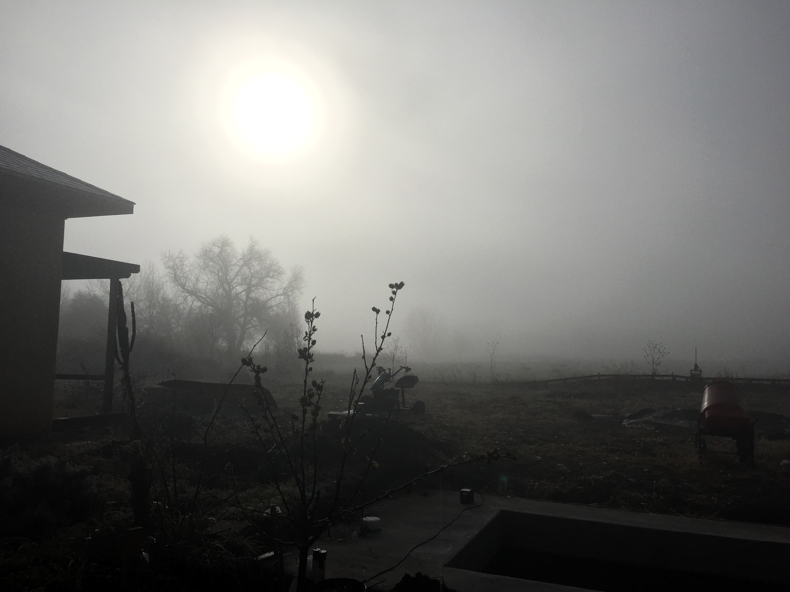
Fall/Winter in the Gila

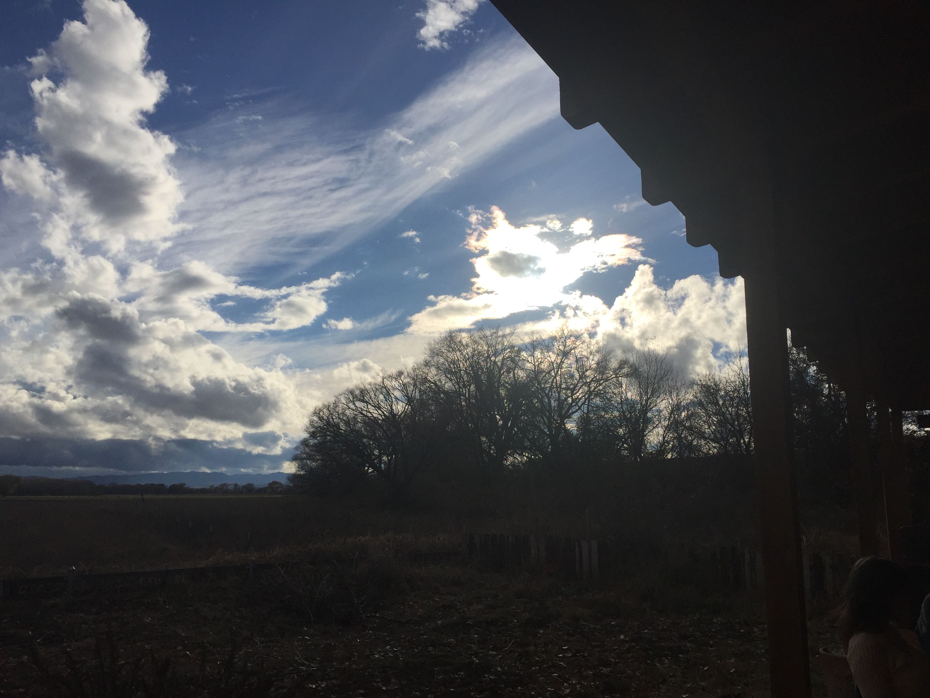
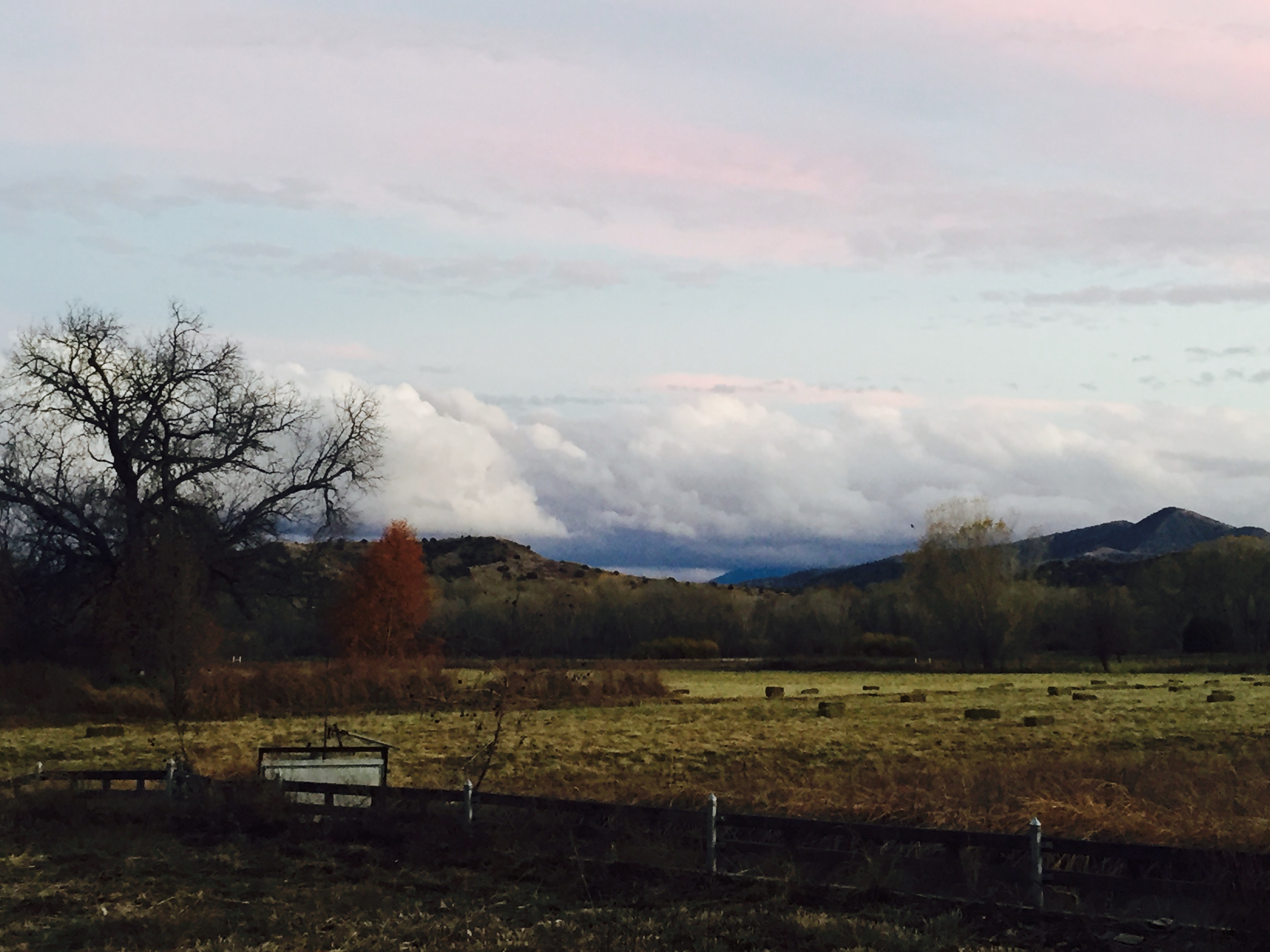
Fall/Winter in the Gila
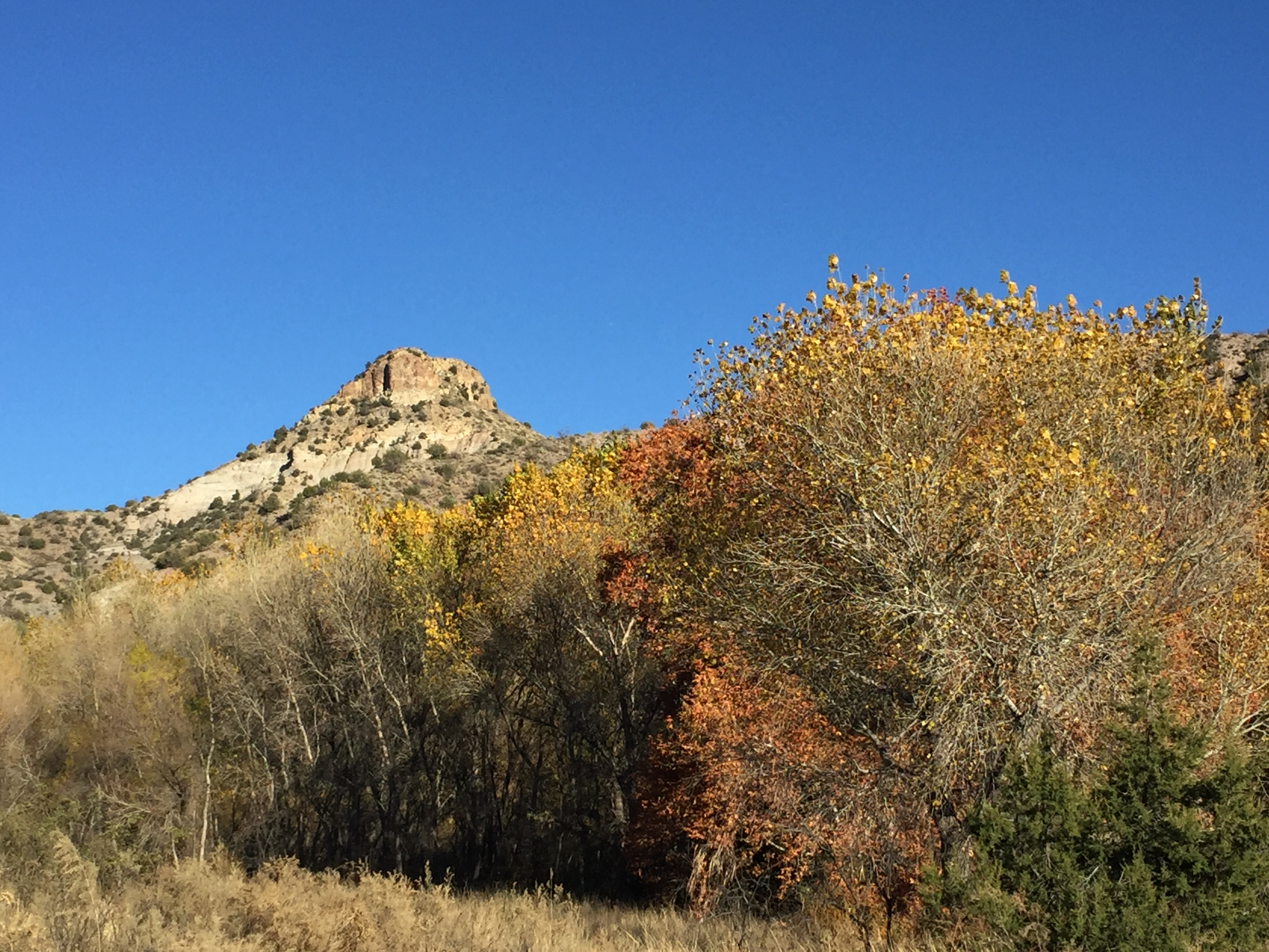
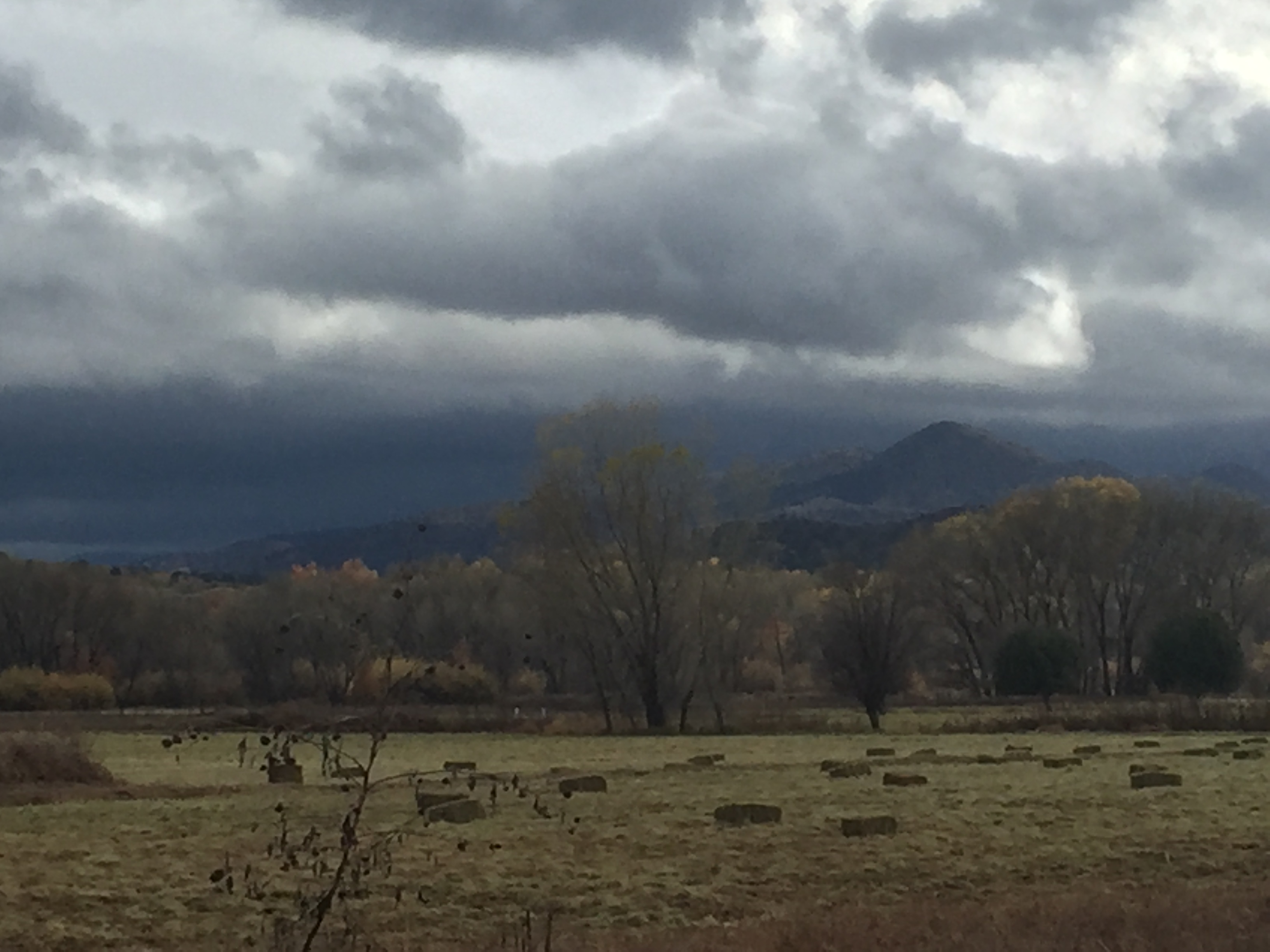
Fall/Winter in the Gila
Fall/Winter in the Gila
Fall/Winter in the Gila

Fall/Winter in the Gila
Fall/Winter in the Gila

Fall/Winter in the Gila
Fall/Winter in the Gila
Fall/Winter in the Gila
Fall/Winter in the Gila
Fall/Winter in the Gila
Fall/Winter in the Gila
Fall/Winter in the Gila
Fall/Winter in the Gila
Fall/Winter in the Gila
Fall/Winter in the Gila
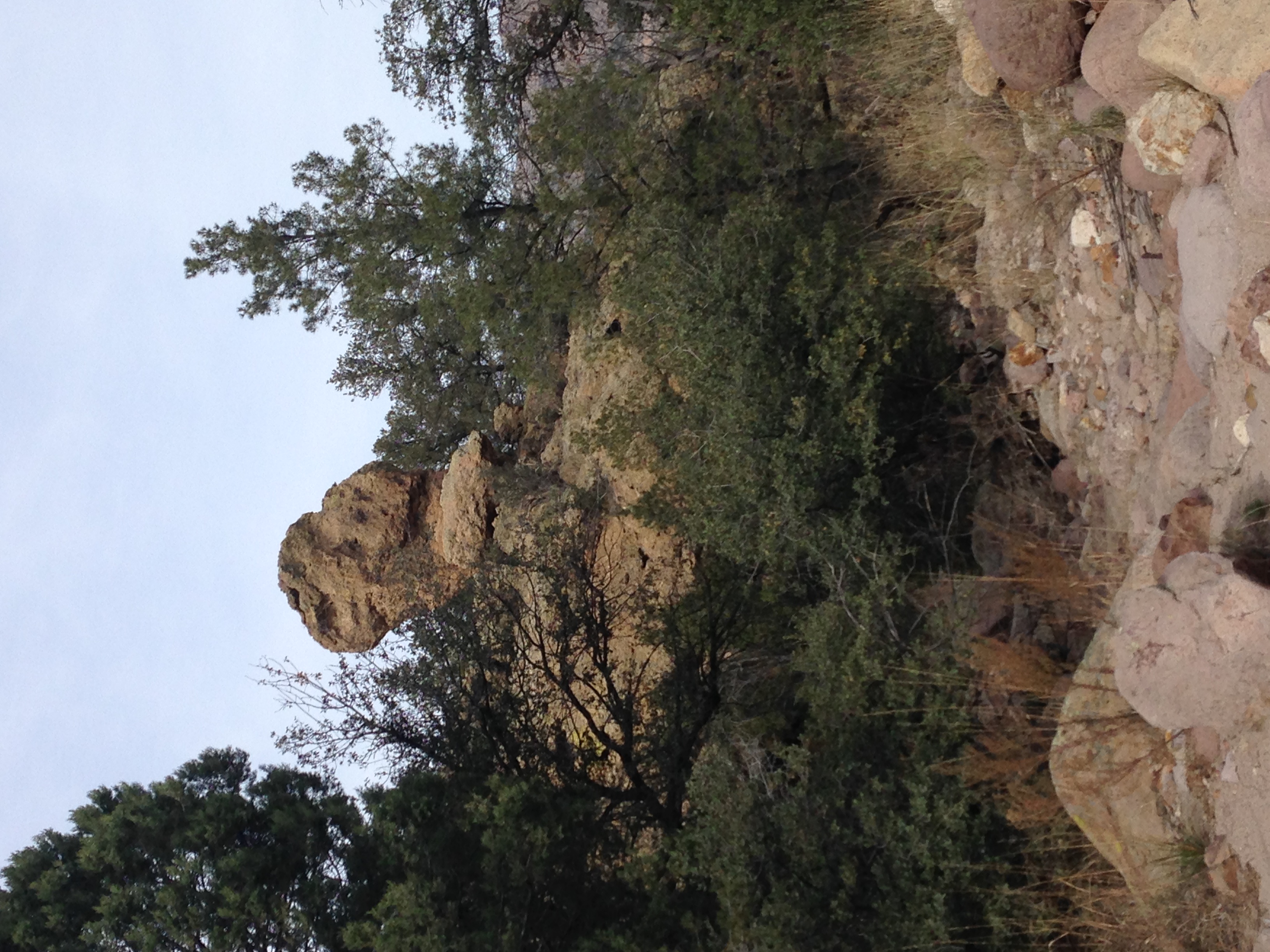
Thanksgiving Hike
Mapa de Gila, Nuevo México, EE. UU.
Buscar otro lugar
lugares en Gila, Nuevo México, EE. UU.
Shelley Peak, New Mexico, EE. UU.
Seventyfour Mountain, New Mexico, EE. UU.
Airport Mesa Road, Airport Mesa Rd, Silver City, NM, EE. UU.
Silver City, Nuevo México, EE. UU.
Lugares cercanos
Airport Mesa Road, Airport Mesa Rd, Silver City, NM, EE. UU.
Duck Creek Rd, Buckhorn, NM, EE. UU.
Buckhorn, Nuevo México, EE. UU.
Seventyfour Mountain, New Mexico, EE. UU.
Shelley Peak, New Mexico, EE. UU.
Treasure Mountain, New Mexico, EE. UU.
53 N Fork Walnut Creek Rd, Silver City, NM, EE. UU.
Haystack Mountain, New Mexico, EE. UU.
Dry Section Mountain, New Mexico, EE. UU.
Applegate Mountain, New Mexico, EE. UU.
Diablo Range HP, New Mexico, EE. UU.
15 Bar 6 Dr, Silver City, NM, EE. UU.
Mogollon Baldy Peak, New Mexico, EE. UU.
Redrock, NM, EE. UU.
Sacaton Mountain, New Mexico, EE. UU.
Deer Peak, New Mexico, EE. UU.
Aldo Leopold Vista Picnic Area (recgovnpsdata), New Mexico, Estados Unidos
Mule Mountains HP, New Mexico, EE. UU.
S Combs St, Silver City, NM, EE. UU.
Western New Mexico University, W College Ave, Silver City, NM, EE. UU.
Búsquedas recientes
- Horas de salida y puesta de sol de Red Dog Mine, AK, USA
- Horas de salida y puesta de sol de Am Bahnhof, Am bhf, Borken, Germany
- Horas de salida y puesta de sol de 4th St E, Sonoma, CA, EE. UU.
- Horas de salida y puesta de sol de Oakland Ave, Williamsport, PA, EE. UU.
- Horas de salida y puesta de sol de Via Roma, Pieranica CR, Italia
- Horas de salida y puesta de sol de Torre del reloj, Grad, Dubrovnik (Ragusa), Croacia
- Horas de salida y puesta de sol de Trelew, Chubut, Argentina
- Horas de salida y puesta de sol de Hartfords Bluff Cir, Mt Pleasant, SC, EE. UU.
- Horas de salida y puesta de sol de Kita Ward, Kumamoto, Japón
- Horas de salida y puesta de sol de Pingtan Island, Pingtan County, Fuzhou, China