Horas de salida y puesta de sol de Fraser Valley F, BC, Canadá
Location: Canadá > Columbia Británica > Fraser Valley >
Zona horaria:
America/Vancouver
Hora local:
2025-07-15 05:42:22
Longitud:
-122.4721568
Latitud:
49.5807478
Salida de sol de hoy:
05:20:21 AM
Puesta de sol de hoy:
09:11:36 PM
La duración del día hoy:
15h 51m 15s
Salida de sol de mañana:
05:21:28 AM
Puesta de sol de mañana:
09:10:39 PM
La duración del día mañana:
15h 49m 11s
Mostrar todas las fechas
| Fecha | Salida de sol | Puesta de sol | Duración del día |
|---|---|---|---|
| 01/01/2025 | 08:06:11 AM | 04:22:03 PM | 8h 15m 52s |
| 02/01/2025 | 08:06:02 AM | 04:23:07 PM | 8h 17m 5s |
| 03/01/2025 | 08:05:49 AM | 04:24:14 PM | 8h 18m 25s |
| 04/01/2025 | 08:05:34 AM | 04:25:23 PM | 8h 19m 49s |
| 05/01/2025 | 08:05:15 AM | 04:26:34 PM | 8h 21m 19s |
| 06/01/2025 | 08:04:53 AM | 04:27:47 PM | 8h 22m 54s |
| 07/01/2025 | 08:04:29 AM | 04:29:02 PM | 8h 24m 33s |
| 08/01/2025 | 08:04:01 AM | 04:30:19 PM | 8h 26m 18s |
| 09/01/2025 | 08:03:30 AM | 04:31:38 PM | 8h 28m 8s |
| 10/01/2025 | 08:02:57 AM | 04:32:59 PM | 8h 30m 2s |
| 11/01/2025 | 08:02:21 AM | 04:34:21 PM | 8h 32m 0s |
| 12/01/2025 | 08:01:41 AM | 04:35:45 PM | 8h 34m 4s |
| 13/01/2025 | 08:00:59 AM | 04:37:11 PM | 8h 36m 12s |
| 14/01/2025 | 08:00:14 AM | 04:38:38 PM | 8h 38m 24s |
| 15/01/2025 | 07:59:27 AM | 04:40:06 PM | 8h 40m 39s |
| 16/01/2025 | 07:58:37 AM | 04:41:36 PM | 8h 42m 59s |
| 17/01/2025 | 07:57:44 AM | 04:43:07 PM | 8h 45m 23s |
| 18/01/2025 | 07:56:48 AM | 04:44:38 PM | 8h 47m 50s |
| 19/01/2025 | 07:55:50 AM | 04:46:12 PM | 8h 50m 22s |
| 20/01/2025 | 07:54:50 AM | 04:47:46 PM | 8h 52m 56s |
| 21/01/2025 | 07:53:46 AM | 04:49:21 PM | 8h 55m 35s |
| 22/01/2025 | 07:52:41 AM | 04:50:56 PM | 8h 58m 15s |
| 23/01/2025 | 07:51:33 AM | 04:52:33 PM | 9h 1m 0s |
| 24/01/2025 | 07:50:23 AM | 04:54:10 PM | 9h 3m 47s |
| 25/01/2025 | 07:49:11 AM | 04:55:48 PM | 9h 6m 37s |
| 26/01/2025 | 07:47:56 AM | 04:57:27 PM | 9h 9m 31s |
| 27/01/2025 | 07:46:39 AM | 04:59:06 PM | 9h 12m 27s |
| 28/01/2025 | 07:45:20 AM | 05:00:46 PM | 9h 15m 26s |
| 29/01/2025 | 07:43:59 AM | 05:02:26 PM | 9h 18m 27s |
| 30/01/2025 | 07:42:36 AM | 05:04:07 PM | 9h 21m 31s |
| 31/01/2025 | 07:41:11 AM | 05:05:47 PM | 9h 24m 36s |
| 01/02/2025 | 07:39:45 AM | 05:07:28 PM | 9h 27m 43s |
| 02/02/2025 | 07:38:16 AM | 05:09:10 PM | 9h 30m 54s |
| 03/02/2025 | 07:36:45 AM | 05:10:51 PM | 9h 34m 6s |
| 04/02/2025 | 07:35:13 AM | 05:12:33 PM | 9h 37m 20s |
| 05/02/2025 | 07:33:39 AM | 05:14:15 PM | 9h 40m 36s |
| 06/02/2025 | 07:32:03 AM | 05:15:57 PM | 9h 43m 54s |
| 07/02/2025 | 07:30:26 AM | 05:17:39 PM | 9h 47m 13s |
| 08/02/2025 | 07:28:47 AM | 05:19:21 PM | 9h 50m 34s |
| 09/02/2025 | 07:27:06 AM | 05:21:03 PM | 9h 53m 57s |
| 10/02/2025 | 07:25:25 AM | 05:22:45 PM | 9h 57m 20s |
| 11/02/2025 | 07:23:41 AM | 05:24:26 PM | 10h 0m 45s |
| 12/02/2025 | 07:21:56 AM | 05:26:08 PM | 10h 4m 12s |
| 13/02/2025 | 07:20:10 AM | 05:27:50 PM | 10h 7m 40s |
| 14/02/2025 | 07:18:23 AM | 05:29:31 PM | 10h 11m 8s |
| 15/02/2025 | 07:16:34 AM | 05:31:12 PM | 10h 14m 38s |
| 16/02/2025 | 07:14:44 AM | 05:32:53 PM | 10h 18m 9s |
| 17/02/2025 | 07:12:53 AM | 05:34:34 PM | 10h 21m 41s |
| 18/02/2025 | 07:11:01 AM | 05:36:15 PM | 10h 25m 14s |
| 19/02/2025 | 07:09:08 AM | 05:37:55 PM | 10h 28m 47s |
| 20/02/2025 | 07:07:13 AM | 05:39:35 PM | 10h 32m 22s |
| 21/02/2025 | 07:05:18 AM | 05:41:15 PM | 10h 35m 57s |
| 22/02/2025 | 07:03:22 AM | 05:42:55 PM | 10h 39m 33s |
| 23/02/2025 | 07:01:24 AM | 05:44:34 PM | 10h 43m 10s |
| 24/02/2025 | 06:59:26 AM | 05:46:14 PM | 10h 46m 48s |
| 25/02/2025 | 06:57:27 AM | 05:47:52 PM | 10h 50m 25s |
| 26/02/2025 | 06:55:27 AM | 05:49:31 PM | 10h 54m 4s |
| 27/02/2025 | 06:53:27 AM | 05:51:09 PM | 10h 57m 42s |
| 28/02/2025 | 06:51:25 AM | 05:52:47 PM | 11h 1m 22s |
| 01/03/2025 | 06:49:23 AM | 05:54:25 PM | 11h 5m 2s |
| 02/03/2025 | 06:47:21 AM | 05:56:03 PM | 11h 8m 42s |
| 03/03/2025 | 06:45:17 AM | 05:57:40 PM | 11h 12m 23s |
| 04/03/2025 | 06:43:13 AM | 05:59:17 PM | 11h 16m 4s |
| 05/03/2025 | 06:41:09 AM | 06:00:53 PM | 11h 19m 44s |
| 06/03/2025 | 06:39:03 AM | 06:02:30 PM | 11h 23m 27s |
| 07/03/2025 | 06:36:58 AM | 06:04:06 PM | 11h 27m 8s |
| 08/03/2025 | 06:34:52 AM | 06:05:42 PM | 11h 30m 50s |
| 09/03/2025 | 07:32:51 AM | 07:07:14 PM | 11h 34m 23s |
| 10/03/2025 | 07:30:44 AM | 07:08:49 PM | 11h 38m 5s |
| 11/03/2025 | 07:28:36 AM | 07:10:24 PM | 11h 41m 48s |
| 12/03/2025 | 07:26:29 AM | 07:11:59 PM | 11h 45m 30s |
| 13/03/2025 | 07:24:21 AM | 07:13:34 PM | 11h 49m 13s |
| 14/03/2025 | 07:22:13 AM | 07:15:08 PM | 11h 52m 55s |
| 15/03/2025 | 07:20:04 AM | 07:16:43 PM | 11h 56m 39s |
| 16/03/2025 | 07:17:56 AM | 07:18:17 PM | 12h 0m 21s |
| 17/03/2025 | 07:15:47 AM | 07:19:51 PM | 12h 4m 4s |
| 18/03/2025 | 07:13:38 AM | 07:21:25 PM | 12h 7m 47s |
| 19/03/2025 | 07:11:29 AM | 07:22:58 PM | 12h 11m 29s |
| 20/03/2025 | 07:09:19 AM | 07:24:32 PM | 12h 15m 13s |
| 21/03/2025 | 07:07:10 AM | 07:26:05 PM | 12h 18m 55s |
| 22/03/2025 | 07:05:01 AM | 07:27:39 PM | 12h 22m 38s |
| 23/03/2025 | 07:02:52 AM | 07:29:12 PM | 12h 26m 20s |
| 24/03/2025 | 07:00:43 AM | 07:30:45 PM | 12h 30m 2s |
| 25/03/2025 | 06:58:33 AM | 07:32:18 PM | 12h 33m 45s |
| 26/03/2025 | 06:56:24 AM | 07:33:51 PM | 12h 37m 27s |
| 27/03/2025 | 06:54:15 AM | 07:35:23 PM | 12h 41m 8s |
| 28/03/2025 | 06:52:07 AM | 07:36:56 PM | 12h 44m 49s |
| 29/03/2025 | 06:49:58 AM | 07:38:29 PM | 12h 48m 31s |
| 30/03/2025 | 06:47:50 AM | 07:40:01 PM | 12h 52m 11s |
| 31/03/2025 | 06:45:42 AM | 07:41:34 PM | 12h 55m 52s |
| 01/04/2025 | 06:43:34 AM | 07:43:06 PM | 12h 59m 32s |
| 02/04/2025 | 06:41:26 AM | 07:44:39 PM | 13h 3m 13s |
| 03/04/2025 | 06:39:19 AM | 07:46:11 PM | 13h 6m 52s |
| 04/04/2025 | 06:37:12 AM | 07:47:43 PM | 13h 10m 31s |
| 05/04/2025 | 06:35:06 AM | 07:49:16 PM | 13h 14m 10s |
| 06/04/2025 | 06:33:00 AM | 07:50:48 PM | 13h 17m 48s |
| 07/04/2025 | 06:30:55 AM | 07:52:21 PM | 13h 21m 26s |
| 08/04/2025 | 06:28:50 AM | 07:53:53 PM | 13h 25m 3s |
| 09/04/2025 | 06:26:45 AM | 07:55:25 PM | 13h 28m 40s |
| 10/04/2025 | 06:24:41 AM | 07:56:57 PM | 13h 32m 16s |
| 11/04/2025 | 06:22:38 AM | 07:58:30 PM | 13h 35m 52s |
| 12/04/2025 | 06:20:36 AM | 08:00:02 PM | 13h 39m 26s |
| 13/04/2025 | 06:18:34 AM | 08:01:34 PM | 13h 43m 0s |
| 14/04/2025 | 06:16:33 AM | 08:03:07 PM | 13h 46m 34s |
| 15/04/2025 | 06:14:32 AM | 08:04:39 PM | 13h 50m 7s |
| 16/04/2025 | 06:12:32 AM | 08:06:11 PM | 13h 53m 39s |
| 17/04/2025 | 06:10:34 AM | 08:07:43 PM | 13h 57m 9s |
| 18/04/2025 | 06:08:36 AM | 08:09:15 PM | 14h 0m 39s |
| 19/04/2025 | 06:06:39 AM | 08:10:47 PM | 14h 4m 8s |
| 20/04/2025 | 06:04:42 AM | 08:12:19 PM | 14h 7m 37s |
| 21/04/2025 | 06:02:47 AM | 08:13:51 PM | 14h 11m 4s |
| 22/04/2025 | 06:00:53 AM | 08:15:23 PM | 14h 14m 30s |
| 23/04/2025 | 05:59:00 AM | 08:16:55 PM | 14h 17m 55s |
| 24/04/2025 | 05:57:08 AM | 08:18:26 PM | 14h 21m 18s |
| 25/04/2025 | 05:55:17 AM | 08:19:58 PM | 14h 24m 41s |
| 26/04/2025 | 05:53:27 AM | 08:21:29 PM | 14h 28m 2s |
| 27/04/2025 | 05:51:39 AM | 08:23:00 PM | 14h 31m 21s |
| 28/04/2025 | 05:49:51 AM | 08:24:31 PM | 14h 34m 40s |
| 29/04/2025 | 05:48:05 AM | 08:26:02 PM | 14h 37m 57s |
| 30/04/2025 | 05:46:21 AM | 08:27:32 PM | 14h 41m 11s |
| 01/05/2025 | 05:44:37 AM | 08:29:02 PM | 14h 44m 25s |
| 02/05/2025 | 05:42:55 AM | 08:30:32 PM | 14h 47m 37s |
| 03/05/2025 | 05:41:15 AM | 08:32:02 PM | 14h 50m 47s |
| 04/05/2025 | 05:39:36 AM | 08:33:31 PM | 14h 53m 55s |
| 05/05/2025 | 05:37:58 AM | 08:34:59 PM | 14h 57m 1s |
| 06/05/2025 | 05:36:23 AM | 08:36:28 PM | 15h 0m 5s |
| 07/05/2025 | 05:34:48 AM | 08:37:55 PM | 15h 3m 7s |
| 08/05/2025 | 05:33:16 AM | 08:39:23 PM | 15h 6m 7s |
| 09/05/2025 | 05:31:45 AM | 08:40:49 PM | 15h 9m 4s |
| 10/05/2025 | 05:30:16 AM | 08:42:15 PM | 15h 11m 59s |
| 11/05/2025 | 05:28:49 AM | 08:43:40 PM | 15h 14m 51s |
| 12/05/2025 | 05:27:23 AM | 08:45:05 PM | 15h 17m 42s |
| 13/05/2025 | 05:26:00 AM | 08:46:29 PM | 15h 20m 29s |
| 14/05/2025 | 05:24:38 AM | 08:47:52 PM | 15h 23m 14s |
| 15/05/2025 | 05:23:19 AM | 08:49:14 PM | 15h 25m 55s |
| 16/05/2025 | 05:22:01 AM | 08:50:36 PM | 15h 28m 35s |
| 17/05/2025 | 05:20:46 AM | 08:51:56 PM | 15h 31m 10s |
| 18/05/2025 | 05:19:32 AM | 08:53:15 PM | 15h 33m 43s |
| 19/05/2025 | 05:18:21 AM | 08:54:33 PM | 15h 36m 12s |
| 20/05/2025 | 05:17:12 AM | 08:55:51 PM | 15h 38m 39s |
| 21/05/2025 | 05:16:05 AM | 08:57:06 PM | 15h 41m 1s |
| 22/05/2025 | 05:15:01 AM | 08:58:21 PM | 15h 43m 20s |
| 23/05/2025 | 05:13:59 AM | 08:59:34 PM | 15h 45m 35s |
| 24/05/2025 | 05:12:59 AM | 09:00:46 PM | 15h 47m 47s |
| 25/05/2025 | 05:12:01 AM | 09:01:57 PM | 15h 49m 56s |
| 26/05/2025 | 05:11:07 AM | 09:03:06 PM | 15h 51m 59s |
| 27/05/2025 | 05:10:14 AM | 09:04:13 PM | 15h 53m 59s |
| 28/05/2025 | 05:09:24 AM | 09:05:19 PM | 15h 55m 55s |
| 29/05/2025 | 05:08:37 AM | 09:06:23 PM | 15h 57m 46s |
| 30/05/2025 | 05:07:52 AM | 09:07:26 PM | 15h 59m 34s |
| 31/05/2025 | 05:07:10 AM | 09:08:26 PM | 16h 1m 16s |
| 01/06/2025 | 05:06:30 AM | 09:09:25 PM | 16h 2m 55s |
| 02/06/2025 | 05:05:54 AM | 09:10:22 PM | 16h 4m 28s |
| 03/06/2025 | 05:05:19 AM | 09:11:17 PM | 16h 5m 58s |
| 04/06/2025 | 05:04:48 AM | 09:12:09 PM | 16h 7m 21s |
| 05/06/2025 | 05:04:19 AM | 09:13:00 PM | 16h 8m 41s |
| 06/06/2025 | 05:03:53 AM | 09:13:48 PM | 16h 9m 55s |
| 07/06/2025 | 05:03:30 AM | 09:14:35 PM | 16h 11m 5s |
| 08/06/2025 | 05:03:10 AM | 09:15:19 PM | 16h 12m 9s |
| 09/06/2025 | 05:02:52 AM | 09:16:00 PM | 16h 13m 8s |
| 10/06/2025 | 05:02:38 AM | 09:16:39 PM | 16h 14m 1s |
| 11/06/2025 | 05:02:26 AM | 09:17:16 PM | 16h 14m 50s |
| 12/06/2025 | 05:02:17 AM | 09:17:50 PM | 16h 15m 33s |
| 13/06/2025 | 05:02:10 AM | 09:18:22 PM | 16h 16m 12s |
| 14/06/2025 | 05:02:07 AM | 09:18:51 PM | 16h 16m 44s |
| 15/06/2025 | 05:02:06 AM | 09:19:18 PM | 16h 17m 12s |
| 16/06/2025 | 05:02:08 AM | 09:19:42 PM | 16h 17m 34s |
| 17/06/2025 | 05:02:13 AM | 09:20:03 PM | 16h 17m 50s |
| 18/06/2025 | 05:02:21 AM | 09:20:21 PM | 16h 18m 0s |
| 19/06/2025 | 05:02:31 AM | 09:20:37 PM | 16h 18m 6s |
| 20/06/2025 | 05:02:45 AM | 09:20:50 PM | 16h 18m 5s |
| 21/06/2025 | 05:03:00 AM | 09:21:00 PM | 16h 18m 0s |
| 22/06/2025 | 05:03:19 AM | 09:21:08 PM | 16h 17m 49s |
| 23/06/2025 | 05:03:40 AM | 09:21:12 PM | 16h 17m 32s |
| 24/06/2025 | 05:04:04 AM | 09:21:14 PM | 16h 17m 10s |
| 25/06/2025 | 05:04:30 AM | 09:21:13 PM | 16h 16m 43s |
| 26/06/2025 | 05:04:59 AM | 09:21:09 PM | 16h 16m 10s |
| 27/06/2025 | 05:05:31 AM | 09:21:02 PM | 16h 15m 31s |
| 28/06/2025 | 05:06:04 AM | 09:20:52 PM | 16h 14m 48s |
| 29/06/2025 | 05:06:41 AM | 09:20:39 PM | 16h 13m 58s |
| 30/06/2025 | 05:07:19 AM | 09:20:24 PM | 16h 13m 5s |
| 01/07/2025 | 05:08:00 AM | 09:20:06 PM | 16h 12m 6s |
| 02/07/2025 | 05:08:43 AM | 09:19:45 PM | 16h 11m 2s |
| 03/07/2025 | 05:09:29 AM | 09:19:21 PM | 16h 9m 52s |
| 04/07/2025 | 05:10:16 AM | 09:18:54 PM | 16h 8m 38s |
| 05/07/2025 | 05:11:06 AM | 09:18:24 PM | 16h 7m 18s |
| 06/07/2025 | 05:11:57 AM | 09:17:52 PM | 16h 5m 55s |
| 07/07/2025 | 05:12:51 AM | 09:17:17 PM | 16h 4m 26s |
| 08/07/2025 | 05:13:46 AM | 09:16:39 PM | 16h 2m 53s |
| 09/07/2025 | 05:14:43 AM | 09:15:59 PM | 16h 1m 16s |
| 10/07/2025 | 05:15:43 AM | 09:15:15 PM | 15h 59m 32s |
| 11/07/2025 | 05:16:43 AM | 09:14:30 PM | 15h 57m 47s |
| 12/07/2025 | 05:17:46 AM | 09:13:41 PM | 15h 55m 55s |
| 13/07/2025 | 05:18:50 AM | 09:12:50 PM | 15h 54m 0s |
| 14/07/2025 | 05:19:56 AM | 09:11:57 PM | 15h 52m 1s |
| 15/07/2025 | 05:21:03 AM | 09:11:01 PM | 15h 49m 58s |
| 16/07/2025 | 05:22:11 AM | 09:10:02 PM | 15h 47m 51s |
| 17/07/2025 | 05:23:21 AM | 09:09:01 PM | 15h 45m 40s |
| 18/07/2025 | 05:24:32 AM | 09:07:58 PM | 15h 43m 26s |
| 19/07/2025 | 05:25:44 AM | 09:06:52 PM | 15h 41m 8s |
| 20/07/2025 | 05:26:58 AM | 09:05:44 PM | 15h 38m 46s |
| 21/07/2025 | 05:28:13 AM | 09:04:34 PM | 15h 36m 21s |
| 22/07/2025 | 05:29:28 AM | 09:03:22 PM | 15h 33m 54s |
| 23/07/2025 | 05:30:45 AM | 09:02:07 PM | 15h 31m 22s |
| 24/07/2025 | 05:32:03 AM | 09:00:51 PM | 15h 28m 48s |
| 25/07/2025 | 05:33:21 AM | 08:59:32 PM | 15h 26m 11s |
| 26/07/2025 | 05:34:40 AM | 08:58:11 PM | 15h 23m 31s |
| 27/07/2025 | 05:36:00 AM | 08:56:48 PM | 15h 20m 48s |
| 28/07/2025 | 05:37:21 AM | 08:55:24 PM | 15h 18m 3s |
| 29/07/2025 | 05:38:43 AM | 08:53:57 PM | 15h 15m 14s |
| 30/07/2025 | 05:40:05 AM | 08:52:29 PM | 15h 12m 24s |
| 31/07/2025 | 05:41:28 AM | 08:50:58 PM | 15h 9m 30s |
| 01/08/2025 | 05:42:51 AM | 08:49:26 PM | 15h 6m 35s |
| 02/08/2025 | 05:44:15 AM | 08:47:53 PM | 15h 3m 38s |
| 03/08/2025 | 05:45:39 AM | 08:46:17 PM | 15h 0m 38s |
| 04/08/2025 | 05:47:04 AM | 08:44:40 PM | 14h 57m 36s |
| 05/08/2025 | 05:48:29 AM | 08:43:02 PM | 14h 54m 33s |
| 06/08/2025 | 05:49:54 AM | 08:41:21 PM | 14h 51m 27s |
| 07/08/2025 | 05:51:20 AM | 08:39:40 PM | 14h 48m 20s |
| 08/08/2025 | 05:52:46 AM | 08:37:57 PM | 14h 45m 11s |
| 09/08/2025 | 05:54:12 AM | 08:36:12 PM | 14h 42m 0s |
| 10/08/2025 | 05:55:39 AM | 08:34:26 PM | 14h 38m 47s |
| 11/08/2025 | 05:57:06 AM | 08:32:39 PM | 14h 35m 33s |
| 12/08/2025 | 05:58:32 AM | 08:30:50 PM | 14h 32m 18s |
| 13/08/2025 | 06:00:00 AM | 08:29:01 PM | 14h 29m 1s |
| 14/08/2025 | 06:01:27 AM | 08:27:10 PM | 14h 25m 43s |
| 15/08/2025 | 06:02:54 AM | 08:25:18 PM | 14h 22m 24s |
| 16/08/2025 | 06:04:21 AM | 08:23:24 PM | 14h 19m 3s |
| 17/08/2025 | 06:05:49 AM | 08:21:30 PM | 14h 15m 41s |
| 18/08/2025 | 06:07:17 AM | 08:19:35 PM | 14h 12m 18s |
| 19/08/2025 | 06:08:44 AM | 08:17:38 PM | 14h 8m 54s |
| 20/08/2025 | 06:10:12 AM | 08:15:41 PM | 14h 5m 29s |
| 21/08/2025 | 06:11:39 AM | 08:13:42 PM | 14h 2m 3s |
| 22/08/2025 | 06:13:07 AM | 08:11:43 PM | 13h 58m 36s |
| 23/08/2025 | 06:14:35 AM | 08:09:43 PM | 13h 55m 8s |
| 24/08/2025 | 06:16:03 AM | 08:07:42 PM | 13h 51m 39s |
| 25/08/2025 | 06:17:30 AM | 08:05:41 PM | 13h 48m 11s |
| 26/08/2025 | 06:18:58 AM | 08:03:38 PM | 13h 44m 40s |
| 27/08/2025 | 06:20:26 AM | 08:01:35 PM | 13h 41m 9s |
| 28/08/2025 | 06:21:53 AM | 07:59:31 PM | 13h 37m 38s |
| 29/08/2025 | 06:23:21 AM | 07:57:27 PM | 13h 34m 6s |
| 30/08/2025 | 06:24:48 AM | 07:55:22 PM | 13h 30m 34s |
| 31/08/2025 | 06:26:16 AM | 07:53:16 PM | 13h 27m 0s |
| 01/09/2025 | 06:27:44 AM | 07:51:10 PM | 13h 23m 26s |
| 02/09/2025 | 06:29:11 AM | 07:49:03 PM | 13h 19m 52s |
| 03/09/2025 | 06:30:39 AM | 07:46:55 PM | 13h 16m 16s |
| 04/09/2025 | 06:32:06 AM | 07:44:48 PM | 13h 12m 42s |
| 05/09/2025 | 06:33:34 AM | 07:42:40 PM | 13h 9m 6s |
| 06/09/2025 | 06:35:01 AM | 07:40:31 PM | 13h 5m 30s |
| 07/09/2025 | 06:36:29 AM | 07:38:22 PM | 13h 1m 53s |
| 08/09/2025 | 06:37:56 AM | 07:36:13 PM | 12h 58m 17s |
| 09/09/2025 | 06:39:24 AM | 07:34:03 PM | 12h 54m 39s |
| 10/09/2025 | 06:40:51 AM | 07:31:53 PM | 12h 51m 2s |
| 11/09/2025 | 06:42:19 AM | 07:29:43 PM | 12h 47m 24s |
| 12/09/2025 | 06:43:47 AM | 07:27:33 PM | 12h 43m 46s |
| 13/09/2025 | 06:45:14 AM | 07:25:23 PM | 12h 40m 9s |
| 14/09/2025 | 06:46:42 AM | 07:23:12 PM | 12h 36m 30s |
| 15/09/2025 | 06:48:10 AM | 07:21:01 PM | 12h 32m 51s |
| 16/09/2025 | 06:49:38 AM | 07:18:50 PM | 12h 29m 12s |
| 17/09/2025 | 06:51:06 AM | 07:16:40 PM | 12h 25m 34s |
| 18/09/2025 | 06:52:34 AM | 07:14:29 PM | 12h 21m 55s |
| 19/09/2025 | 06:54:02 AM | 07:12:18 PM | 12h 18m 16s |
| 20/09/2025 | 06:55:30 AM | 07:10:07 PM | 12h 14m 37s |
| 21/09/2025 | 06:56:59 AM | 07:07:56 PM | 12h 10m 57s |
| 22/09/2025 | 06:58:28 AM | 07:05:45 PM | 12h 7m 17s |
| 23/09/2025 | 06:59:56 AM | 07:03:35 PM | 12h 3m 39s |
| 24/09/2025 | 07:01:25 AM | 07:01:24 PM | 11h 59m 59s |
| 25/09/2025 | 07:02:54 AM | 06:59:14 PM | 11h 56m 20s |
| 26/09/2025 | 07:04:24 AM | 06:57:04 PM | 11h 52m 40s |
| 27/09/2025 | 07:05:53 AM | 06:54:54 PM | 11h 49m 1s |
| 28/09/2025 | 07:07:23 AM | 06:52:45 PM | 11h 45m 22s |
| 29/09/2025 | 07:08:53 AM | 06:50:35 PM | 11h 41m 42s |
| 30/09/2025 | 07:10:23 AM | 06:48:26 PM | 11h 38m 3s |
| 01/10/2025 | 07:11:53 AM | 06:46:18 PM | 11h 34m 25s |
| 02/10/2025 | 07:13:24 AM | 06:44:10 PM | 11h 30m 46s |
| 03/10/2025 | 07:14:55 AM | 06:42:02 PM | 11h 27m 7s |
| 04/10/2025 | 07:16:26 AM | 06:39:55 PM | 11h 23m 29s |
| 05/10/2025 | 07:17:58 AM | 06:37:48 PM | 11h 19m 50s |
| 06/10/2025 | 07:19:29 AM | 06:35:42 PM | 11h 16m 13s |
| 07/10/2025 | 07:21:01 AM | 06:33:36 PM | 11h 12m 35s |
| 08/10/2025 | 07:22:34 AM | 06:31:31 PM | 11h 8m 57s |
| 09/10/2025 | 07:24:06 AM | 06:29:26 PM | 11h 5m 20s |
| 10/10/2025 | 07:25:39 AM | 06:27:23 PM | 11h 1m 44s |
| 11/10/2025 | 07:27:12 AM | 06:25:19 PM | 10h 58m 7s |
| 12/10/2025 | 07:28:46 AM | 06:23:17 PM | 10h 54m 31s |
| 13/10/2025 | 07:30:19 AM | 06:21:15 PM | 10h 50m 56s |
| 14/10/2025 | 07:31:54 AM | 06:19:15 PM | 10h 47m 21s |
| 15/10/2025 | 07:33:28 AM | 06:17:15 PM | 10h 43m 47s |
| 16/10/2025 | 07:35:03 AM | 06:15:16 PM | 10h 40m 13s |
| 17/10/2025 | 07:36:38 AM | 06:13:17 PM | 10h 36m 39s |
| 18/10/2025 | 07:38:13 AM | 06:11:20 PM | 10h 33m 7s |
| 19/10/2025 | 07:39:48 AM | 06:09:24 PM | 10h 29m 36s |
| 20/10/2025 | 07:41:24 AM | 06:07:29 PM | 10h 26m 5s |
| 21/10/2025 | 07:43:00 AM | 06:05:35 PM | 10h 22m 35s |
| 22/10/2025 | 07:44:37 AM | 06:03:42 PM | 10h 19m 5s |
| 23/10/2025 | 07:46:13 AM | 06:01:50 PM | 10h 15m 37s |
| 24/10/2025 | 07:47:50 AM | 05:59:59 PM | 10h 12m 9s |
| 25/10/2025 | 07:49:27 AM | 05:58:10 PM | 10h 8m 43s |
| 26/10/2025 | 07:51:04 AM | 05:56:21 PM | 10h 5m 17s |
| 27/10/2025 | 07:52:42 AM | 05:54:35 PM | 10h 1m 53s |
| 28/10/2025 | 07:54:19 AM | 05:52:49 PM | 9h 58m 30s |
| 29/10/2025 | 07:55:57 AM | 05:51:05 PM | 9h 55m 8s |
| 30/10/2025 | 07:57:35 AM | 05:49:22 PM | 9h 51m 47s |
| 31/10/2025 | 07:59:13 AM | 05:47:41 PM | 9h 48m 28s |
| 01/11/2025 | 08:00:51 AM | 05:46:02 PM | 9h 45m 11s |
| 02/11/2025 | 07:02:33 AM | 04:44:20 PM | 9h 41m 47s |
| 03/11/2025 | 07:04:11 AM | 04:42:43 PM | 9h 38m 32s |
| 04/11/2025 | 07:05:49 AM | 04:41:09 PM | 9h 35m 20s |
| 05/11/2025 | 07:07:27 AM | 04:39:36 PM | 9h 32m 9s |
| 06/11/2025 | 07:09:05 AM | 04:38:05 PM | 9h 29m 0s |
| 07/11/2025 | 07:10:42 AM | 04:36:36 PM | 9h 25m 54s |
| 08/11/2025 | 07:12:20 AM | 04:35:08 PM | 9h 22m 48s |
| 09/11/2025 | 07:13:57 AM | 04:33:43 PM | 9h 19m 46s |
| 10/11/2025 | 07:15:34 AM | 04:32:20 PM | 9h 16m 46s |
| 11/11/2025 | 07:17:11 AM | 04:30:58 PM | 9h 13m 47s |
| 12/11/2025 | 07:18:47 AM | 04:29:39 PM | 9h 10m 52s |
| 13/11/2025 | 07:20:23 AM | 04:28:22 PM | 9h 7m 59s |
| 14/11/2025 | 07:21:58 AM | 04:27:07 PM | 9h 5m 9s |
| 15/11/2025 | 07:23:33 AM | 04:25:54 PM | 9h 2m 21s |
| 16/11/2025 | 07:25:07 AM | 04:24:44 PM | 8h 59m 37s |
| 17/11/2025 | 07:26:40 AM | 04:23:36 PM | 8h 56m 56s |
| 18/11/2025 | 07:28:13 AM | 04:22:30 PM | 8h 54m 17s |
| 19/11/2025 | 07:29:45 AM | 04:21:27 PM | 8h 51m 42s |
| 20/11/2025 | 07:31:16 AM | 04:20:26 PM | 8h 49m 10s |
| 21/11/2025 | 07:32:46 AM | 04:19:28 PM | 8h 46m 42s |
| 22/11/2025 | 07:34:15 AM | 04:18:32 PM | 8h 44m 17s |
| 23/11/2025 | 07:35:43 AM | 04:17:39 PM | 8h 41m 56s |
| 24/11/2025 | 07:37:10 AM | 04:16:49 PM | 8h 39m 39s |
| 25/11/2025 | 07:38:35 AM | 04:16:01 PM | 8h 37m 26s |
| 26/11/2025 | 07:39:59 AM | 04:15:16 PM | 8h 35m 17s |
| 27/11/2025 | 07:41:22 AM | 04:14:34 PM | 8h 33m 12s |
| 28/11/2025 | 07:42:44 AM | 04:13:55 PM | 8h 31m 11s |
| 29/11/2025 | 07:44:04 AM | 04:13:18 PM | 8h 29m 14s |
| 30/11/2025 | 07:45:22 AM | 04:12:45 PM | 8h 27m 23s |
| 01/12/2025 | 07:46:38 AM | 04:12:15 PM | 8h 25m 37s |
| 02/12/2025 | 07:47:53 AM | 04:11:47 PM | 8h 23m 54s |
| 03/12/2025 | 07:49:06 AM | 04:11:23 PM | 8h 22m 17s |
| 04/12/2025 | 07:50:17 AM | 04:11:01 PM | 8h 20m 44s |
| 05/12/2025 | 07:51:26 AM | 04:10:43 PM | 8h 19m 17s |
| 06/12/2025 | 07:52:33 AM | 04:10:28 PM | 8h 17m 55s |
| 07/12/2025 | 07:53:38 AM | 04:10:15 PM | 8h 16m 37s |
| 08/12/2025 | 07:54:41 AM | 04:10:06 PM | 8h 15m 25s |
| 09/12/2025 | 07:55:41 AM | 04:10:01 PM | 8h 14m 20s |
| 10/12/2025 | 07:56:39 AM | 04:09:58 PM | 8h 13m 19s |
| 11/12/2025 | 07:57:35 AM | 04:09:58 PM | 8h 12m 23s |
| 12/12/2025 | 07:58:28 AM | 04:10:02 PM | 8h 11m 34s |
| 13/12/2025 | 07:59:18 AM | 04:10:09 PM | 8h 10m 51s |
| 14/12/2025 | 08:00:06 AM | 04:10:18 PM | 8h 10m 12s |
| 15/12/2025 | 08:00:51 AM | 04:10:31 PM | 8h 9m 40s |
| 16/12/2025 | 08:01:34 AM | 04:10:48 PM | 8h 9m 14s |
| 17/12/2025 | 08:02:13 AM | 04:11:07 PM | 8h 8m 54s |
| 18/12/2025 | 08:02:50 AM | 04:11:29 PM | 8h 8m 39s |
| 19/12/2025 | 08:03:24 AM | 04:11:55 PM | 8h 8m 31s |
| 20/12/2025 | 08:03:55 AM | 04:12:23 PM | 8h 8m 28s |
| 21/12/2025 | 08:04:24 AM | 04:12:55 PM | 8h 8m 31s |
| 22/12/2025 | 08:04:49 AM | 04:13:29 PM | 8h 8m 40s |
| 23/12/2025 | 08:05:11 AM | 04:14:06 PM | 8h 8m 55s |
| 24/12/2025 | 08:05:30 AM | 04:14:47 PM | 8h 9m 17s |
| 25/12/2025 | 08:05:46 AM | 04:15:30 PM | 8h 9m 44s |
| 26/12/2025 | 08:05:59 AM | 04:16:16 PM | 8h 10m 17s |
| 27/12/2025 | 08:06:09 AM | 04:17:05 PM | 8h 10m 56s |
| 28/12/2025 | 08:06:16 AM | 04:17:56 PM | 8h 11m 40s |
| 29/12/2025 | 08:06:20 AM | 04:18:50 PM | 8h 12m 30s |
| 30/12/2025 | 08:06:21 AM | 04:19:47 PM | 8h 13m 26s |
| 31/12/2025 | 08:06:18 AM | 04:20:46 PM | 8h 14m 28s |
Fotos

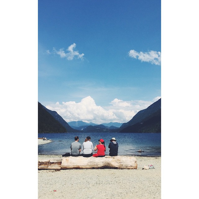
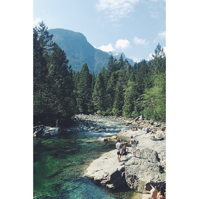
#alouettelake today
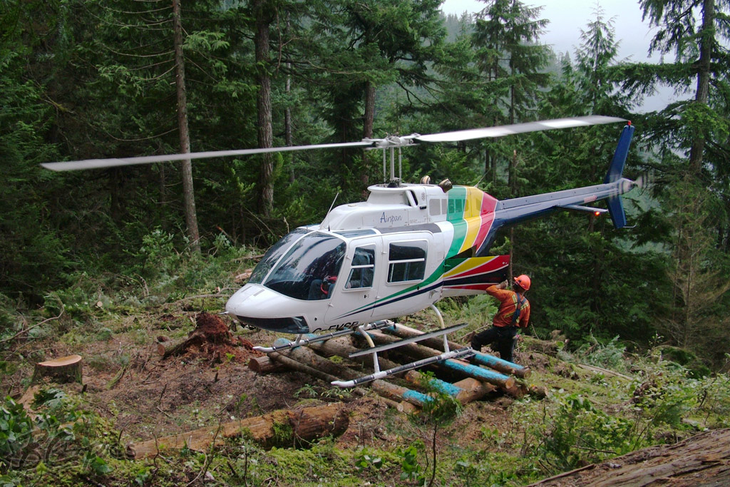
C-FVSP - Airspan Helicopters - Bell 206B Jetranger
Day 251 - Missed Opportunities

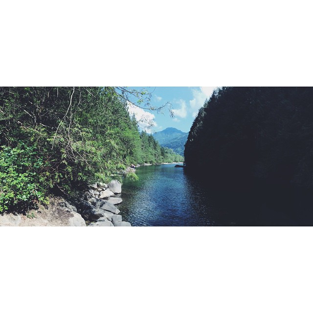
Ahhh, the glamorous life on the river....

Al(Silh)ouette

Alouette strangers
Log chat
North beach trail
Diving spot
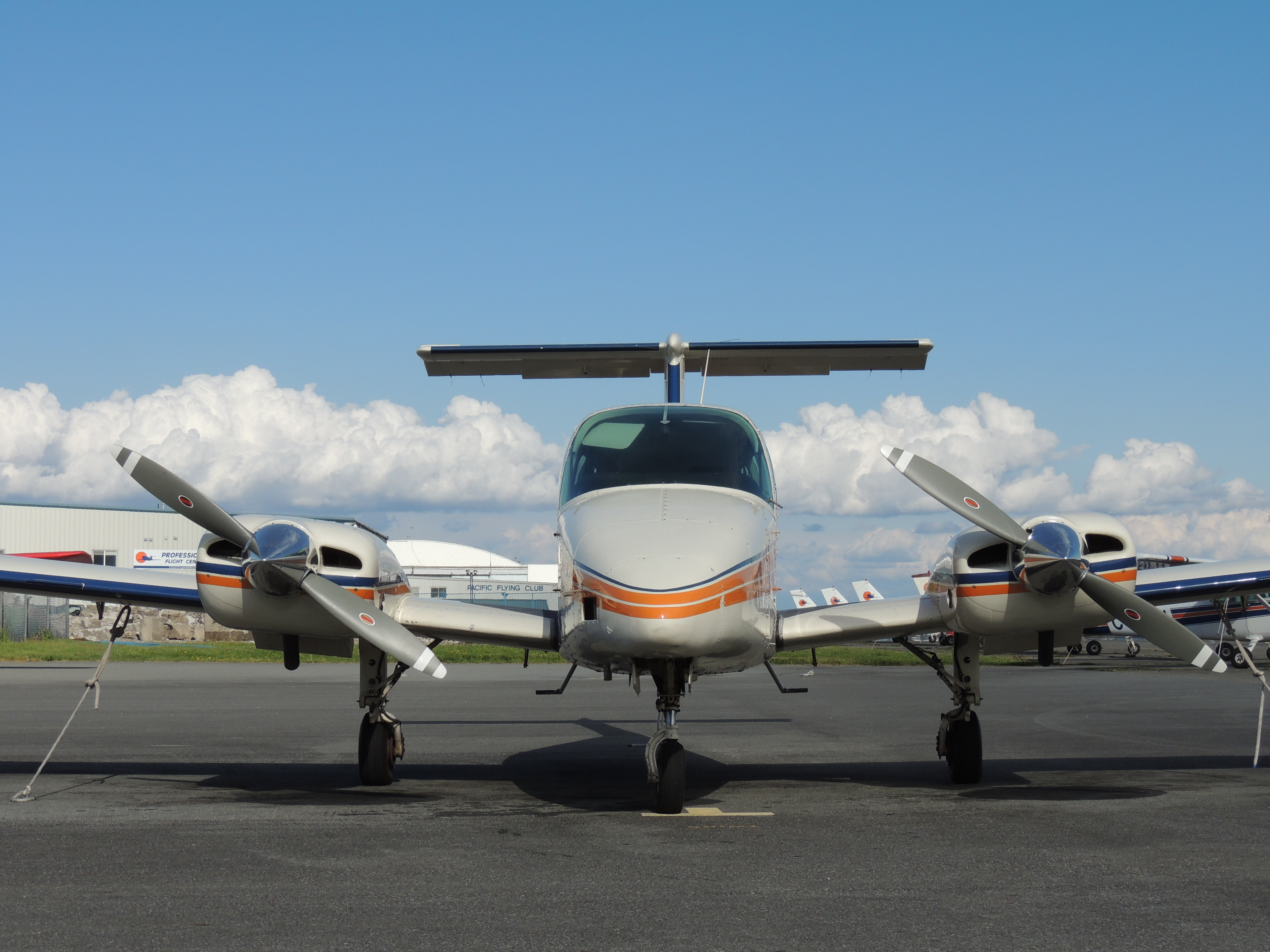
Beechcraft Duchess C-GIFR

36-52-2013: Upper Pitt Lake
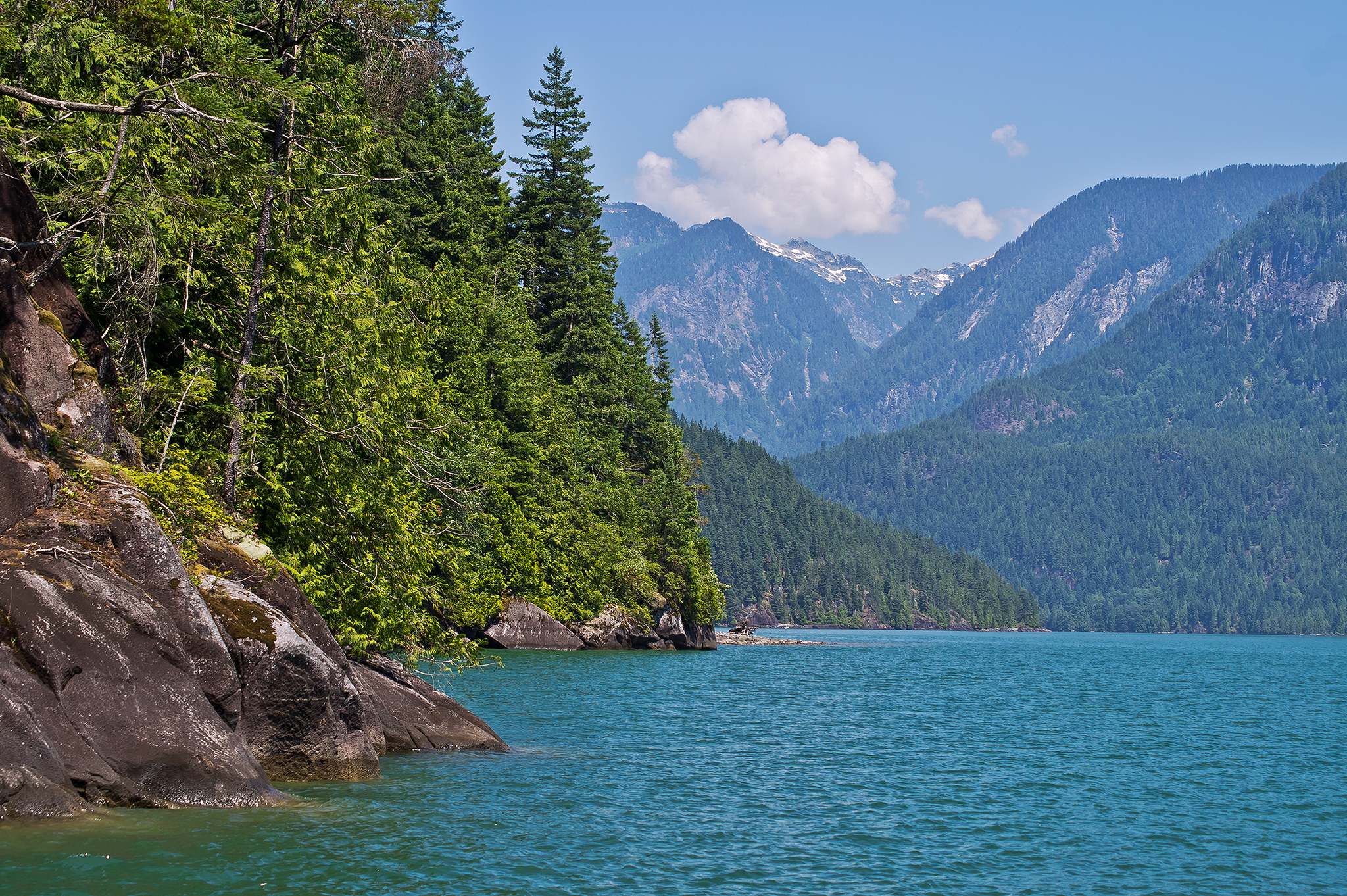
Pitt Lake 1251hr

GOLDEN EARS, AS SEEN FROM LANGLEY, BC
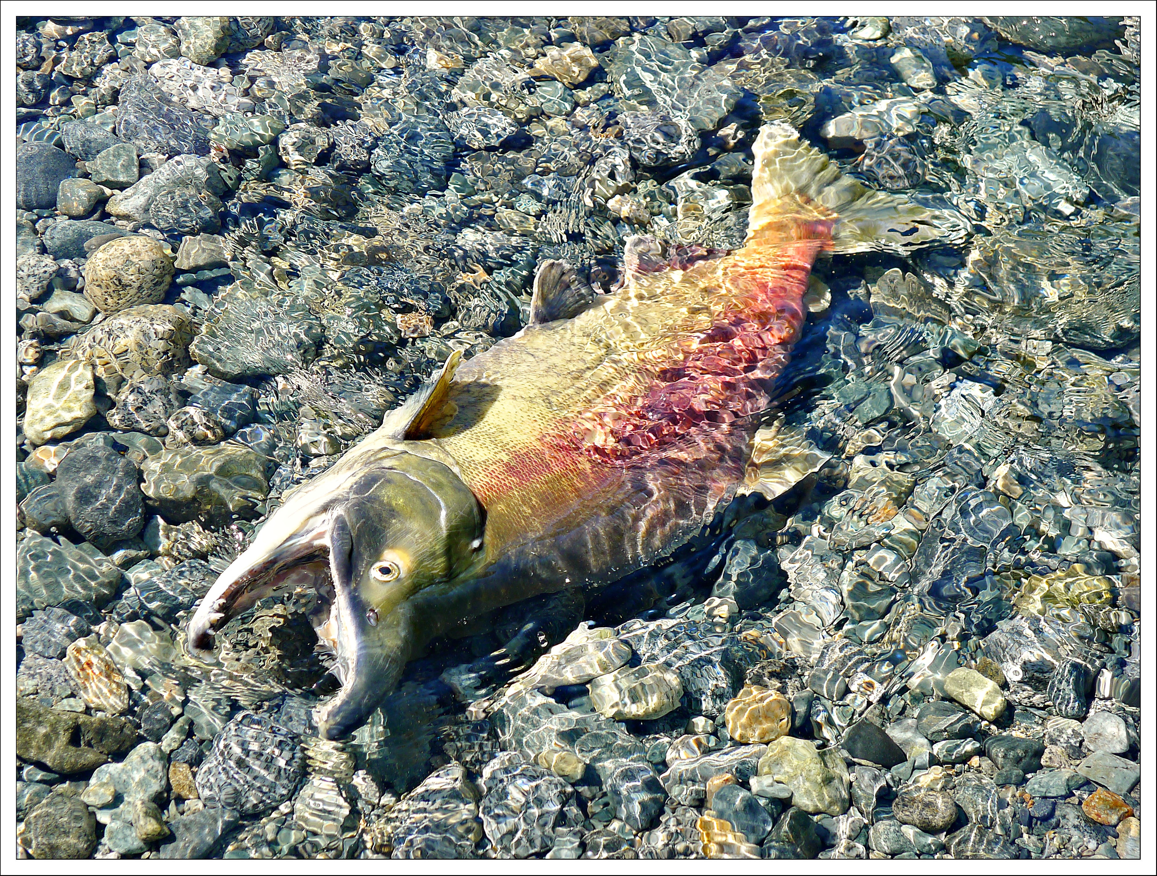
(250/366) Circle of Life

Wilderness cruise on Pitt Lake
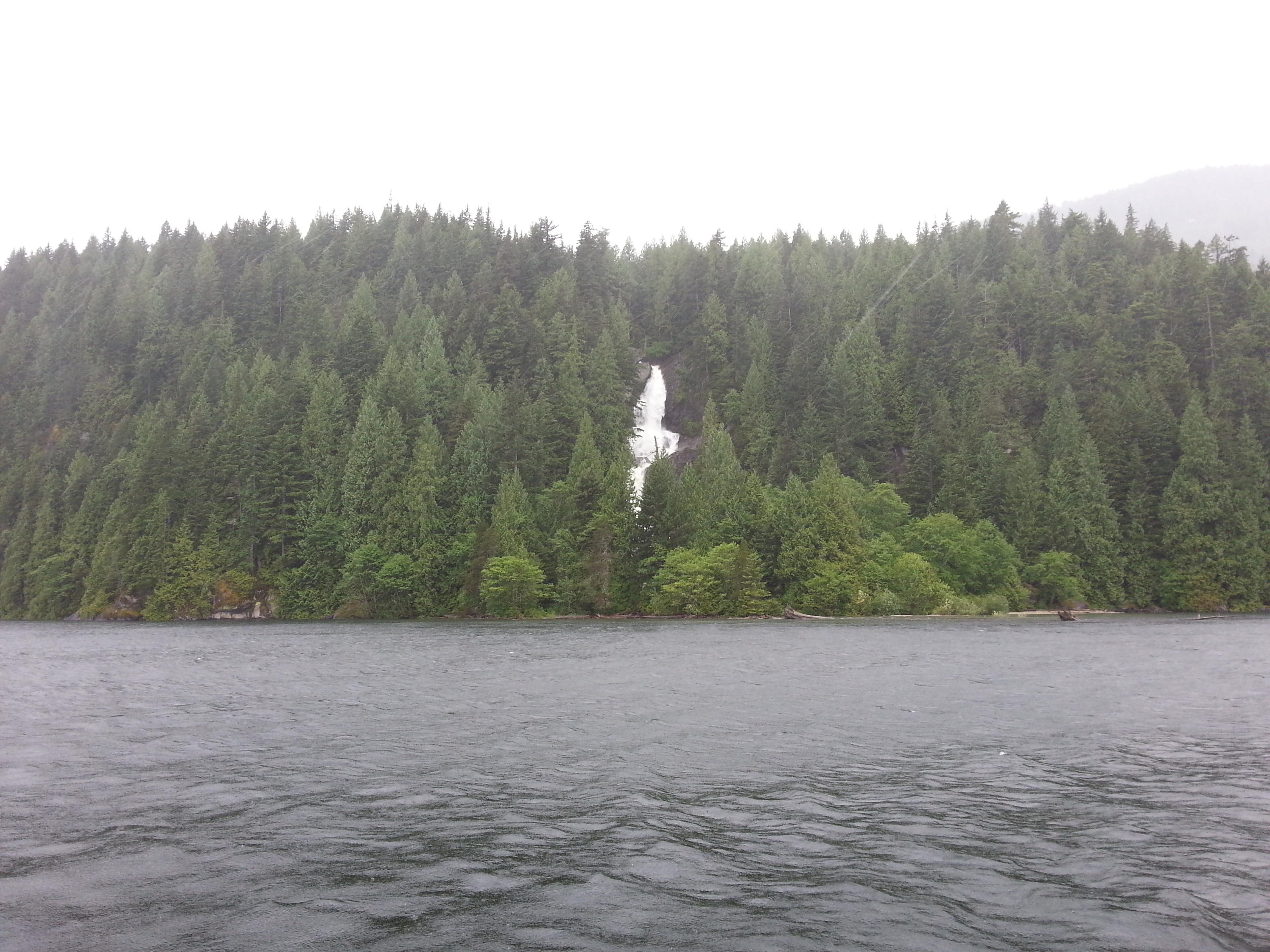
Wilderness cruise on Pitt Lake

Pitt Lake Rescue 014
Pitt Lake Summer 2011
Leaving the Pitt
Upper Pitt Lake
Upper Pitt Lake
Mapa de Fraser Valley F, BC, Canadá
Buscar otro lugar
lugares en Fraser Valley F, BC, Canadá
Mount Robie Reid, Fraser Valley F, BC V0M, Canadá
Golden Ears, Fraser Valley F, BC V0M, Canadá
Mamquam Mountain, Fraser Valley F, BC V0N, Canadá
Mount Judge Howay, Fraser Valley F, BC V0M, Canadá
Piluk Peak, Fraser Valley F, BC V0M, Canadá
Beyer Road, Beyer Rd, Fraser Valley F, BC V2V 7G7, Canadá
Lugares cercanos
Piluk Peak, Fraser Valley F, BC V0M, Canadá
Mount Robie Reid, Fraser Valley F, BC V0M, Canadá
Golden Ears, Fraser Valley F, BC V0M, Canadá
Widgeon Falls, Greater Vancouver A, BC V0M, Canadá
Widgeon Creek, Greater Vancouver A, BC, Canadá
Pitt-Addington Marsh, Pitt Meadows, BC V3Y 1Z1, Canadá
Coquitlam Mountain, Greater Vancouver A, BC V3E, Canadá
St, Maple Ridge, BC V4R 1C9, Canadá
Ave, Maple Ridge, BC V4R 2R4, Canadá
Ave, Maple Ridge, BC V4R 2R4, Canadá
Marc Rd, Maple Ridge, BC V0M, Canadá
Ave, Maple Ridge, BC V4R 2R4, Canadá
Alouette River Management Society, Alouette Rd, Maple Ridge, BC V4R 1R8, Canadá
Golden Ears Provincial Park, Fern Crescent, Maple Ridge, BC V4R 2S1, Canadá
Silver Valley Rd, Maple Ridge, BC V4R 2G5, Canadá
St, Maple Ridge, BC V4R 1C9, Canadá
Lilley Drive, Lilley Dr, Maple Ridge, BC, Canadá
Avenue, Ave, Maple Ridge, BC V4R, Canadá
St, Maple Ridge, BC V4R 2G5, Canadá
Alouette Rd, Maple Ridge, BC V4R 1R8, Canadá
Búsquedas recientes
- Horas de salida y puesta de sol de Red Dog Mine, AK, USA
- Horas de salida y puesta de sol de Am Bahnhof, Am bhf, Borken, Germany
- Horas de salida y puesta de sol de 4th St E, Sonoma, CA, EE. UU.
- Horas de salida y puesta de sol de Oakland Ave, Williamsport, PA, EE. UU.
- Horas de salida y puesta de sol de Via Roma, Pieranica CR, Italia
- Horas de salida y puesta de sol de Torre del reloj, Grad, Dubrovnik (Ragusa), Croacia
- Horas de salida y puesta de sol de Trelew, Chubut, Argentina
- Horas de salida y puesta de sol de Hartfords Bluff Cir, Mt Pleasant, SC, EE. UU.
- Horas de salida y puesta de sol de Kita Ward, Kumamoto, Japón
- Horas de salida y puesta de sol de Pingtan Island, Pingtan County, Fuzhou, China