Horas de salida y puesta de sol de Franklin Elementary School, N Township Rd, Yuba City, CA, EE. UU.
Location: Estados Unidos > California > Condado de Sutter > Yuba City >
Zona horaria:
America/Los_Angeles
Hora local:
2025-06-27 18:42:53
Longitud:
-121.6895304
Latitud:
39.1281977
Salida de sol de hoy:
05:43:25 AM
Puesta de sol de hoy:
08:37:01 PM
La duración del día hoy:
14h 53m 36s
Salida de sol de mañana:
05:43:52 AM
Puesta de sol de mañana:
08:36:58 PM
La duración del día mañana:
14h 53m 6s
Mostrar todas las fechas
| Fecha | Salida de sol | Puesta de sol | Duración del día |
|---|---|---|---|
| 01/01/2025 | 07:26:05 AM | 04:55:53 PM | 9h 29m 48s |
| 02/01/2025 | 07:26:09 AM | 04:56:44 PM | 9h 30m 35s |
| 03/01/2025 | 07:26:10 AM | 04:57:37 PM | 9h 31m 27s |
| 04/01/2025 | 07:26:10 AM | 04:58:31 PM | 9h 32m 21s |
| 05/01/2025 | 07:26:07 AM | 04:59:26 PM | 9h 33m 19s |
| 06/01/2025 | 07:26:02 AM | 05:00:22 PM | 9h 34m 20s |
| 07/01/2025 | 07:25:55 AM | 05:01:20 PM | 9h 35m 25s |
| 08/01/2025 | 07:25:46 AM | 05:02:19 PM | 9h 36m 33s |
| 09/01/2025 | 07:25:34 AM | 05:03:19 PM | 9h 37m 45s |
| 10/01/2025 | 07:25:21 AM | 05:04:19 PM | 9h 38m 58s |
| 11/01/2025 | 07:25:05 AM | 05:05:21 PM | 9h 40m 16s |
| 12/01/2025 | 07:24:47 AM | 05:06:23 PM | 9h 41m 36s |
| 13/01/2025 | 07:24:27 AM | 05:07:27 PM | 9h 43m 0s |
| 14/01/2025 | 07:24:05 AM | 05:08:31 PM | 9h 44m 26s |
| 15/01/2025 | 07:23:41 AM | 05:09:36 PM | 9h 45m 55s |
| 16/01/2025 | 07:23:15 AM | 05:10:41 PM | 9h 47m 26s |
| 17/01/2025 | 07:22:47 AM | 05:11:48 PM | 9h 49m 1s |
| 18/01/2025 | 07:22:17 AM | 05:12:54 PM | 9h 50m 37s |
| 19/01/2025 | 07:21:44 AM | 05:14:01 PM | 9h 52m 17s |
| 20/01/2025 | 07:21:10 AM | 05:15:09 PM | 9h 53m 59s |
| 21/01/2025 | 07:20:34 AM | 05:16:17 PM | 9h 55m 43s |
| 22/01/2025 | 07:19:56 AM | 05:17:26 PM | 9h 57m 30s |
| 23/01/2025 | 07:19:16 AM | 05:18:35 PM | 9h 59m 19s |
| 24/01/2025 | 07:18:34 AM | 05:19:44 PM | 10h 1m 10s |
| 25/01/2025 | 07:17:50 AM | 05:20:53 PM | 10h 3m 3s |
| 26/01/2025 | 07:17:05 AM | 05:22:03 PM | 10h 4m 58s |
| 27/01/2025 | 07:16:17 AM | 05:23:13 PM | 10h 6m 56s |
| 28/01/2025 | 07:15:28 AM | 05:24:23 PM | 10h 8m 55s |
| 29/01/2025 | 07:14:37 AM | 05:25:33 PM | 10h 10m 56s |
| 30/01/2025 | 07:13:45 AM | 05:26:43 PM | 10h 12m 58s |
| 31/01/2025 | 07:12:50 AM | 05:27:53 PM | 10h 15m 3s |
| 01/02/2025 | 07:11:54 AM | 05:29:03 PM | 10h 17m 9s |
| 02/02/2025 | 07:10:57 AM | 05:30:13 PM | 10h 19m 16s |
| 03/02/2025 | 07:09:58 AM | 05:31:23 PM | 10h 21m 25s |
| 04/02/2025 | 07:08:57 AM | 05:32:33 PM | 10h 23m 36s |
| 05/02/2025 | 07:07:55 AM | 05:33:43 PM | 10h 25m 48s |
| 06/02/2025 | 07:06:51 AM | 05:34:53 PM | 10h 28m 2s |
| 07/02/2025 | 07:05:46 AM | 05:36:03 PM | 10h 30m 17s |
| 08/02/2025 | 07:04:40 AM | 05:37:12 PM | 10h 32m 32s |
| 09/02/2025 | 07:03:32 AM | 05:38:21 PM | 10h 34m 49s |
| 10/02/2025 | 07:02:23 AM | 05:39:30 PM | 10h 37m 7s |
| 11/02/2025 | 07:01:13 AM | 05:40:39 PM | 10h 39m 26s |
| 12/02/2025 | 07:00:01 AM | 05:41:48 PM | 10h 41m 47s |
| 13/02/2025 | 06:58:48 AM | 05:42:56 PM | 10h 44m 8s |
| 14/02/2025 | 06:57:34 AM | 05:44:04 PM | 10h 46m 30s |
| 15/02/2025 | 06:56:19 AM | 05:45:12 PM | 10h 48m 53s |
| 16/02/2025 | 06:55:02 AM | 05:46:20 PM | 10h 51m 18s |
| 17/02/2025 | 06:53:45 AM | 05:47:27 PM | 10h 53m 42s |
| 18/02/2025 | 06:52:26 AM | 05:48:34 PM | 10h 56m 8s |
| 19/02/2025 | 06:51:07 AM | 05:49:41 PM | 10h 58m 34s |
| 20/02/2025 | 06:49:46 AM | 05:50:47 PM | 11h 1m 1s |
| 21/02/2025 | 06:48:24 AM | 05:51:53 PM | 11h 3m 29s |
| 22/02/2025 | 06:47:02 AM | 05:52:59 PM | 11h 5m 57s |
| 23/02/2025 | 06:45:39 AM | 05:54:04 PM | 11h 8m 25s |
| 24/02/2025 | 06:44:15 AM | 05:55:10 PM | 11h 10m 55s |
| 25/02/2025 | 06:42:50 AM | 05:56:14 PM | 11h 13m 24s |
| 26/02/2025 | 06:41:24 AM | 05:57:19 PM | 11h 15m 55s |
| 27/02/2025 | 06:39:57 AM | 05:58:23 PM | 11h 18m 26s |
| 28/02/2025 | 06:38:30 AM | 05:59:27 PM | 11h 20m 57s |
| 01/03/2025 | 06:37:02 AM | 06:00:31 PM | 11h 23m 29s |
| 02/03/2025 | 06:35:33 AM | 06:01:34 PM | 11h 26m 1s |
| 03/03/2025 | 06:34:04 AM | 06:02:37 PM | 11h 28m 33s |
| 04/03/2025 | 06:32:34 AM | 06:03:40 PM | 11h 31m 6s |
| 05/03/2025 | 06:31:04 AM | 06:04:42 PM | 11h 33m 38s |
| 06/03/2025 | 06:29:33 AM | 06:05:45 PM | 11h 36m 12s |
| 07/03/2025 | 06:28:02 AM | 06:06:46 PM | 11h 38m 44s |
| 08/03/2025 | 06:26:30 AM | 06:07:48 PM | 11h 41m 18s |
| 09/03/2025 | 07:25:01 AM | 07:08:47 PM | 11h 43m 46s |
| 10/03/2025 | 07:23:29 AM | 07:09:48 PM | 11h 46m 19s |
| 11/03/2025 | 07:21:56 AM | 07:10:49 PM | 11h 48m 53s |
| 12/03/2025 | 07:20:22 AM | 07:11:50 PM | 11h 51m 28s |
| 13/03/2025 | 07:18:49 AM | 07:12:50 PM | 11h 54m 1s |
| 14/03/2025 | 07:17:15 AM | 07:13:51 PM | 11h 56m 36s |
| 15/03/2025 | 07:15:41 AM | 07:14:51 PM | 11h 59m 10s |
| 16/03/2025 | 07:14:06 AM | 07:15:51 PM | 12h 1m 45s |
| 17/03/2025 | 07:12:32 AM | 07:16:51 PM | 12h 4m 19s |
| 18/03/2025 | 07:10:57 AM | 07:17:50 PM | 12h 6m 53s |
| 19/03/2025 | 07:09:22 AM | 07:18:50 PM | 12h 9m 28s |
| 20/03/2025 | 07:07:47 AM | 07:19:49 PM | 12h 12m 2s |
| 21/03/2025 | 07:06:12 AM | 07:20:48 PM | 12h 14m 36s |
| 22/03/2025 | 07:04:37 AM | 07:21:47 PM | 12h 17m 10s |
| 23/03/2025 | 07:03:02 AM | 07:22:46 PM | 12h 19m 44s |
| 24/03/2025 | 07:01:27 AM | 07:23:45 PM | 12h 22m 18s |
| 25/03/2025 | 06:59:52 AM | 07:24:44 PM | 12h 24m 52s |
| 26/03/2025 | 06:58:17 AM | 07:25:42 PM | 12h 27m 25s |
| 27/03/2025 | 06:56:42 AM | 07:26:41 PM | 12h 29m 59s |
| 28/03/2025 | 06:55:08 AM | 07:27:39 PM | 12h 32m 31s |
| 29/03/2025 | 06:53:33 AM | 07:28:38 PM | 12h 35m 5s |
| 30/03/2025 | 06:51:59 AM | 07:29:36 PM | 12h 37m 37s |
| 31/03/2025 | 06:50:25 AM | 07:30:35 PM | 12h 40m 10s |
| 01/04/2025 | 06:48:51 AM | 07:31:33 PM | 12h 42m 42s |
| 02/04/2025 | 06:47:18 AM | 07:32:31 PM | 12h 45m 13s |
| 03/04/2025 | 06:45:45 AM | 07:33:30 PM | 12h 47m 45s |
| 04/04/2025 | 06:44:12 AM | 07:34:28 PM | 12h 50m 16s |
| 05/04/2025 | 06:42:40 AM | 07:35:26 PM | 12h 52m 46s |
| 06/04/2025 | 06:41:08 AM | 07:36:25 PM | 12h 55m 17s |
| 07/04/2025 | 06:39:36 AM | 07:37:23 PM | 12h 57m 47s |
| 08/04/2025 | 06:38:05 AM | 07:38:22 PM | 13h 0m 17s |
| 09/04/2025 | 06:36:35 AM | 07:39:20 PM | 13h 2m 45s |
| 10/04/2025 | 06:35:05 AM | 07:40:18 PM | 13h 5m 13s |
| 11/04/2025 | 06:33:36 AM | 07:41:17 PM | 13h 7m 41s |
| 12/04/2025 | 06:32:07 AM | 07:42:15 PM | 13h 10m 8s |
| 13/04/2025 | 06:30:39 AM | 07:43:14 PM | 13h 12m 35s |
| 14/04/2025 | 06:29:11 AM | 07:44:12 PM | 13h 15m 1s |
| 15/04/2025 | 06:27:44 AM | 07:45:11 PM | 13h 17m 27s |
| 16/04/2025 | 06:26:18 AM | 07:46:09 PM | 13h 19m 51s |
| 17/04/2025 | 06:24:53 AM | 07:47:08 PM | 13h 22m 15s |
| 18/04/2025 | 06:23:29 AM | 07:48:07 PM | 13h 24m 38s |
| 19/04/2025 | 06:22:05 AM | 07:49:05 PM | 13h 27m 0s |
| 20/04/2025 | 06:20:42 AM | 07:50:04 PM | 13h 29m 22s |
| 21/04/2025 | 06:19:20 AM | 07:51:03 PM | 13h 31m 43s |
| 22/04/2025 | 06:17:59 AM | 07:52:01 PM | 13h 34m 2s |
| 23/04/2025 | 06:16:39 AM | 07:53:00 PM | 13h 36m 21s |
| 24/04/2025 | 06:15:20 AM | 07:53:59 PM | 13h 38m 39s |
| 25/04/2025 | 06:14:02 AM | 07:54:58 PM | 13h 40m 56s |
| 26/04/2025 | 06:12:45 AM | 07:55:56 PM | 13h 43m 11s |
| 27/04/2025 | 06:11:29 AM | 07:56:55 PM | 13h 45m 26s |
| 28/04/2025 | 06:10:14 AM | 07:57:53 PM | 13h 47m 39s |
| 29/04/2025 | 06:09:00 AM | 07:58:52 PM | 13h 49m 52s |
| 30/04/2025 | 06:07:47 AM | 07:59:50 PM | 13h 52m 3s |
| 01/05/2025 | 06:06:36 AM | 08:00:48 PM | 13h 54m 12s |
| 02/05/2025 | 06:05:25 AM | 08:01:46 PM | 13h 56m 21s |
| 03/05/2025 | 06:04:16 AM | 08:02:44 PM | 13h 58m 28s |
| 04/05/2025 | 06:03:09 AM | 08:03:42 PM | 14h 0m 33s |
| 05/05/2025 | 06:02:02 AM | 08:04:40 PM | 14h 2m 38s |
| 06/05/2025 | 06:00:57 AM | 08:05:37 PM | 14h 4m 40s |
| 07/05/2025 | 05:59:54 AM | 08:06:35 PM | 14h 6m 41s |
| 08/05/2025 | 05:58:51 AM | 08:07:32 PM | 14h 8m 41s |
| 09/05/2025 | 05:57:50 AM | 08:08:28 PM | 14h 10m 38s |
| 10/05/2025 | 05:56:51 AM | 08:09:25 PM | 14h 12m 34s |
| 11/05/2025 | 05:55:53 AM | 08:10:21 PM | 14h 14m 28s |
| 12/05/2025 | 05:54:56 AM | 08:11:16 PM | 14h 16m 20s |
| 13/05/2025 | 05:54:01 AM | 08:12:12 PM | 14h 18m 11s |
| 14/05/2025 | 05:53:08 AM | 08:13:07 PM | 14h 19m 59s |
| 15/05/2025 | 05:52:16 AM | 08:14:01 PM | 14h 21m 45s |
| 16/05/2025 | 05:51:26 AM | 08:14:55 PM | 14h 23m 29s |
| 17/05/2025 | 05:50:37 AM | 08:15:48 PM | 14h 25m 11s |
| 18/05/2025 | 05:49:51 AM | 08:16:41 PM | 14h 26m 50s |
| 19/05/2025 | 05:49:05 AM | 08:17:33 PM | 14h 28m 28s |
| 20/05/2025 | 05:48:22 AM | 08:18:25 PM | 14h 30m 3s |
| 21/05/2025 | 05:47:40 AM | 08:19:16 PM | 14h 31m 36s |
| 22/05/2025 | 05:47:00 AM | 08:20:06 PM | 14h 33m 6s |
| 23/05/2025 | 05:46:22 AM | 08:20:56 PM | 14h 34m 34s |
| 24/05/2025 | 05:45:45 AM | 08:21:45 PM | 14h 36m 0s |
| 25/05/2025 | 05:45:10 AM | 08:22:32 PM | 14h 37m 22s |
| 26/05/2025 | 05:44:37 AM | 08:23:20 PM | 14h 38m 43s |
| 27/05/2025 | 05:44:06 AM | 08:24:06 PM | 14h 40m 0s |
| 28/05/2025 | 05:43:37 AM | 08:24:51 PM | 14h 41m 14s |
| 29/05/2025 | 05:43:09 AM | 08:25:35 PM | 14h 42m 26s |
| 30/05/2025 | 05:42:44 AM | 08:26:18 PM | 14h 43m 34s |
| 31/05/2025 | 05:42:20 AM | 08:27:01 PM | 14h 44m 41s |
| 01/06/2025 | 05:41:58 AM | 08:27:42 PM | 14h 45m 44s |
| 02/06/2025 | 05:41:38 AM | 08:28:22 PM | 14h 46m 44s |
| 03/06/2025 | 05:41:20 AM | 08:29:00 PM | 14h 47m 40s |
| 04/06/2025 | 05:41:04 AM | 08:29:38 PM | 14h 48m 34s |
| 05/06/2025 | 05:40:50 AM | 08:30:14 PM | 14h 49m 24s |
| 06/06/2025 | 05:40:37 AM | 08:30:49 PM | 14h 50m 12s |
| 07/06/2025 | 05:40:27 AM | 08:31:23 PM | 14h 50m 56s |
| 08/06/2025 | 05:40:18 AM | 08:31:55 PM | 14h 51m 37s |
| 09/06/2025 | 05:40:11 AM | 08:32:26 PM | 14h 52m 15s |
| 10/06/2025 | 05:40:06 AM | 08:32:55 PM | 14h 52m 49s |
| 11/06/2025 | 05:40:03 AM | 08:33:23 PM | 14h 53m 20s |
| 12/06/2025 | 05:40:02 AM | 08:33:49 PM | 14h 53m 47s |
| 13/06/2025 | 05:40:03 AM | 08:34:14 PM | 14h 54m 11s |
| 14/06/2025 | 05:40:05 AM | 08:34:37 PM | 14h 54m 32s |
| 15/06/2025 | 05:40:10 AM | 08:34:59 PM | 14h 54m 49s |
| 16/06/2025 | 05:40:16 AM | 08:35:18 PM | 14h 55m 2s |
| 17/06/2025 | 05:40:24 AM | 08:35:37 PM | 14h 55m 13s |
| 18/06/2025 | 05:40:33 AM | 08:35:53 PM | 14h 55m 20s |
| 19/06/2025 | 05:40:45 AM | 08:36:08 PM | 14h 55m 23s |
| 20/06/2025 | 05:40:58 AM | 08:36:21 PM | 14h 55m 23s |
| 21/06/2025 | 05:41:13 AM | 08:36:32 PM | 14h 55m 19s |
| 22/06/2025 | 05:41:29 AM | 08:36:42 PM | 14h 55m 13s |
| 23/06/2025 | 05:41:47 AM | 08:36:49 PM | 14h 55m 2s |
| 24/06/2025 | 05:42:07 AM | 08:36:55 PM | 14h 54m 48s |
| 25/06/2025 | 05:42:28 AM | 08:36:59 PM | 14h 54m 31s |
| 26/06/2025 | 05:42:51 AM | 08:37:01 PM | 14h 54m 10s |
| 27/06/2025 | 05:43:16 AM | 08:37:01 PM | 14h 53m 45s |
| 28/06/2025 | 05:43:41 AM | 08:36:59 PM | 14h 53m 18s |
| 29/06/2025 | 05:44:09 AM | 08:36:56 PM | 14h 52m 47s |
| 30/06/2025 | 05:44:37 AM | 08:36:50 PM | 14h 52m 13s |
| 01/07/2025 | 05:45:08 AM | 08:36:42 PM | 14h 51m 34s |
| 02/07/2025 | 05:45:39 AM | 08:36:33 PM | 14h 50m 54s |
| 03/07/2025 | 05:46:12 AM | 08:36:22 PM | 14h 50m 10s |
| 04/07/2025 | 05:46:46 AM | 08:36:08 PM | 14h 49m 22s |
| 05/07/2025 | 05:47:21 AM | 08:35:53 PM | 14h 48m 32s |
| 06/07/2025 | 05:47:57 AM | 08:35:36 PM | 14h 47m 39s |
| 07/07/2025 | 05:48:35 AM | 08:35:17 PM | 14h 46m 42s |
| 08/07/2025 | 05:49:14 AM | 08:34:56 PM | 14h 45m 42s |
| 09/07/2025 | 05:49:53 AM | 08:34:33 PM | 14h 44m 40s |
| 10/07/2025 | 05:50:34 AM | 08:34:08 PM | 14h 43m 34s |
| 11/07/2025 | 05:51:16 AM | 08:33:41 PM | 14h 42m 25s |
| 12/07/2025 | 05:51:58 AM | 08:33:13 PM | 14h 41m 15s |
| 13/07/2025 | 05:52:42 AM | 08:32:42 PM | 14h 40m 0s |
| 14/07/2025 | 05:53:26 AM | 08:32:10 PM | 14h 38m 44s |
| 15/07/2025 | 05:54:12 AM | 08:31:36 PM | 14h 37m 24s |
| 16/07/2025 | 05:54:58 AM | 08:31:00 PM | 14h 36m 2s |
| 17/07/2025 | 05:55:45 AM | 08:30:22 PM | 14h 34m 37s |
| 18/07/2025 | 05:56:32 AM | 08:29:42 PM | 14h 33m 10s |
| 19/07/2025 | 05:57:20 AM | 08:29:01 PM | 14h 31m 41s |
| 20/07/2025 | 05:58:09 AM | 08:28:18 PM | 14h 30m 9s |
| 21/07/2025 | 05:58:58 AM | 08:27:33 PM | 14h 28m 35s |
| 22/07/2025 | 05:59:48 AM | 08:26:46 PM | 14h 26m 58s |
| 23/07/2025 | 06:00:39 AM | 08:25:58 PM | 14h 25m 19s |
| 24/07/2025 | 06:01:30 AM | 08:25:08 PM | 14h 23m 38s |
| 25/07/2025 | 06:02:21 AM | 08:24:16 PM | 14h 21m 55s |
| 26/07/2025 | 06:03:13 AM | 08:23:23 PM | 14h 20m 10s |
| 27/07/2025 | 06:04:05 AM | 08:22:28 PM | 14h 18m 23s |
| 28/07/2025 | 06:04:58 AM | 08:21:32 PM | 14h 16m 34s |
| 29/07/2025 | 06:05:51 AM | 08:20:34 PM | 14h 14m 43s |
| 30/07/2025 | 06:06:44 AM | 08:19:34 PM | 14h 12m 50s |
| 31/07/2025 | 06:07:37 AM | 08:18:33 PM | 14h 10m 56s |
| 01/08/2025 | 06:08:31 AM | 08:17:31 PM | 14h 9m 0s |
| 02/08/2025 | 06:09:25 AM | 08:16:27 PM | 14h 7m 2s |
| 03/08/2025 | 06:10:19 AM | 08:15:22 PM | 14h 5m 3s |
| 04/08/2025 | 06:11:13 AM | 08:14:15 PM | 14h 3m 2s |
| 05/08/2025 | 06:12:08 AM | 08:13:07 PM | 14h 0m 59s |
| 06/08/2025 | 06:13:02 AM | 08:11:58 PM | 13h 58m 56s |
| 07/08/2025 | 06:13:57 AM | 08:10:47 PM | 13h 56m 50s |
| 08/08/2025 | 06:14:52 AM | 08:09:35 PM | 13h 54m 43s |
| 09/08/2025 | 06:15:47 AM | 08:08:22 PM | 13h 52m 35s |
| 10/08/2025 | 06:16:41 AM | 08:07:08 PM | 13h 50m 27s |
| 11/08/2025 | 06:17:36 AM | 08:05:52 PM | 13h 48m 16s |
| 12/08/2025 | 06:18:31 AM | 08:04:36 PM | 13h 46m 5s |
| 13/08/2025 | 06:19:26 AM | 08:03:18 PM | 13h 43m 52s |
| 14/08/2025 | 06:20:21 AM | 08:01:59 PM | 13h 41m 38s |
| 15/08/2025 | 06:21:16 AM | 08:00:40 PM | 13h 39m 24s |
| 16/08/2025 | 06:22:11 AM | 07:59:19 PM | 13h 37m 8s |
| 17/08/2025 | 06:23:06 AM | 07:57:57 PM | 13h 34m 51s |
| 18/08/2025 | 06:24:01 AM | 07:56:34 PM | 13h 32m 33s |
| 19/08/2025 | 06:24:56 AM | 07:55:11 PM | 13h 30m 15s |
| 20/08/2025 | 06:25:51 AM | 07:53:46 PM | 13h 27m 55s |
| 21/08/2025 | 06:26:46 AM | 07:52:21 PM | 13h 25m 35s |
| 22/08/2025 | 06:27:40 AM | 07:50:55 PM | 13h 23m 15s |
| 23/08/2025 | 06:28:35 AM | 07:49:28 PM | 13h 20m 53s |
| 24/08/2025 | 06:29:29 AM | 07:48:00 PM | 13h 18m 31s |
| 25/08/2025 | 06:30:24 AM | 07:46:31 PM | 13h 16m 7s |
| 26/08/2025 | 06:31:18 AM | 07:45:02 PM | 13h 13m 44s |
| 27/08/2025 | 06:32:13 AM | 07:43:32 PM | 13h 11m 19s |
| 28/08/2025 | 06:33:07 AM | 07:42:02 PM | 13h 8m 55s |
| 29/08/2025 | 06:34:01 AM | 07:40:30 PM | 13h 6m 29s |
| 30/08/2025 | 06:34:56 AM | 07:38:59 PM | 13h 4m 3s |
| 31/08/2025 | 06:35:50 AM | 07:37:26 PM | 13h 1m 36s |
| 01/09/2025 | 06:36:44 AM | 07:35:54 PM | 12h 59m 10s |
| 02/09/2025 | 06:37:38 AM | 07:34:20 PM | 12h 56m 42s |
| 03/09/2025 | 06:38:32 AM | 07:32:47 PM | 12h 54m 15s |
| 04/09/2025 | 06:39:26 AM | 07:31:12 PM | 12h 51m 46s |
| 05/09/2025 | 06:40:20 AM | 07:29:38 PM | 12h 49m 18s |
| 06/09/2025 | 06:41:14 AM | 07:28:03 PM | 12h 46m 49s |
| 07/09/2025 | 06:42:08 AM | 07:26:27 PM | 12h 44m 19s |
| 08/09/2025 | 06:43:02 AM | 07:24:52 PM | 12h 41m 50s |
| 09/09/2025 | 06:43:56 AM | 07:23:16 PM | 12h 39m 20s |
| 10/09/2025 | 06:44:50 AM | 07:21:40 PM | 12h 36m 50s |
| 11/09/2025 | 06:45:44 AM | 07:20:03 PM | 12h 34m 19s |
| 12/09/2025 | 06:46:38 AM | 07:18:26 PM | 12h 31m 48s |
| 13/09/2025 | 06:47:32 AM | 07:16:50 PM | 12h 29m 18s |
| 14/09/2025 | 06:48:26 AM | 07:15:13 PM | 12h 26m 47s |
| 15/09/2025 | 06:49:20 AM | 07:13:36 PM | 12h 24m 16s |
| 16/09/2025 | 06:50:14 AM | 07:11:58 PM | 12h 21m 44s |
| 17/09/2025 | 06:51:09 AM | 07:10:21 PM | 12h 19m 12s |
| 18/09/2025 | 06:52:03 AM | 07:08:44 PM | 12h 16m 41s |
| 19/09/2025 | 06:52:58 AM | 07:07:07 PM | 12h 14m 9s |
| 20/09/2025 | 06:53:52 AM | 07:05:30 PM | 12h 11m 38s |
| 21/09/2025 | 06:54:47 AM | 07:03:52 PM | 12h 9m 5s |
| 22/09/2025 | 06:55:42 AM | 07:02:15 PM | 12h 6m 33s |
| 23/09/2025 | 06:56:37 AM | 07:00:39 PM | 12h 4m 2s |
| 24/09/2025 | 06:57:32 AM | 06:59:02 PM | 12h 1m 30s |
| 25/09/2025 | 06:58:28 AM | 06:57:25 PM | 11h 58m 57s |
| 26/09/2025 | 06:59:23 AM | 06:55:49 PM | 11h 56m 26s |
| 27/09/2025 | 07:00:19 AM | 06:54:13 PM | 11h 53m 54s |
| 28/09/2025 | 07:01:15 AM | 06:52:37 PM | 11h 51m 22s |
| 29/09/2025 | 07:02:11 AM | 06:51:01 PM | 11h 48m 50s |
| 30/09/2025 | 07:03:08 AM | 06:49:26 PM | 11h 46m 18s |
| 01/10/2025 | 07:04:04 AM | 06:47:51 PM | 11h 43m 47s |
| 02/10/2025 | 07:05:01 AM | 06:46:17 PM | 11h 41m 16s |
| 03/10/2025 | 07:05:59 AM | 06:44:43 PM | 11h 38m 44s |
| 04/10/2025 | 07:06:56 AM | 06:43:09 PM | 11h 36m 13s |
| 05/10/2025 | 07:07:54 AM | 06:41:36 PM | 11h 33m 42s |
| 06/10/2025 | 07:08:52 AM | 06:40:04 PM | 11h 31m 12s |
| 07/10/2025 | 07:09:50 AM | 06:38:32 PM | 11h 28m 42s |
| 08/10/2025 | 07:10:49 AM | 06:37:00 PM | 11h 26m 11s |
| 09/10/2025 | 07:11:48 AM | 06:35:29 PM | 11h 23m 41s |
| 10/10/2025 | 07:12:47 AM | 06:33:59 PM | 11h 21m 12s |
| 11/10/2025 | 07:13:46 AM | 06:32:30 PM | 11h 18m 44s |
| 12/10/2025 | 07:14:46 AM | 06:31:01 PM | 11h 16m 15s |
| 13/10/2025 | 07:15:46 AM | 06:29:33 PM | 11h 13m 47s |
| 14/10/2025 | 07:16:47 AM | 06:28:06 PM | 11h 11m 19s |
| 15/10/2025 | 07:17:48 AM | 06:26:39 PM | 11h 8m 51s |
| 16/10/2025 | 07:18:49 AM | 06:25:14 PM | 11h 6m 25s |
| 17/10/2025 | 07:19:51 AM | 06:23:49 PM | 11h 3m 58s |
| 18/10/2025 | 07:20:52 AM | 06:22:25 PM | 11h 1m 33s |
| 19/10/2025 | 07:21:55 AM | 06:21:02 PM | 10h 59m 7s |
| 20/10/2025 | 07:22:57 AM | 06:19:40 PM | 10h 56m 43s |
| 21/10/2025 | 07:24:00 AM | 06:18:19 PM | 10h 54m 19s |
| 22/10/2025 | 07:25:03 AM | 06:16:59 PM | 10h 51m 56s |
| 23/10/2025 | 07:26:07 AM | 06:15:41 PM | 10h 49m 34s |
| 24/10/2025 | 07:27:11 AM | 06:14:23 PM | 10h 47m 12s |
| 25/10/2025 | 07:28:15 AM | 06:13:06 PM | 10h 44m 51s |
| 26/10/2025 | 07:29:19 AM | 06:11:51 PM | 10h 42m 32s |
| 27/10/2025 | 07:30:24 AM | 06:10:37 PM | 10h 40m 13s |
| 28/10/2025 | 07:31:29 AM | 06:09:24 PM | 10h 37m 55s |
| 29/10/2025 | 07:32:34 AM | 06:08:12 PM | 10h 35m 38s |
| 30/10/2025 | 07:33:40 AM | 06:07:02 PM | 10h 33m 22s |
| 31/10/2025 | 07:34:46 AM | 06:05:53 PM | 10h 31m 7s |
| 01/11/2025 | 07:35:52 AM | 06:04:45 PM | 10h 28m 53s |
| 02/11/2025 | 06:37:01 AM | 05:03:37 PM | 10h 26m 36s |
| 03/11/2025 | 06:38:07 AM | 05:02:32 PM | 10h 24m 25s |
| 04/11/2025 | 06:39:13 AM | 05:01:29 PM | 10h 22m 16s |
| 05/11/2025 | 06:40:20 AM | 05:00:27 PM | 10h 20m 7s |
| 06/11/2025 | 06:41:27 AM | 04:59:27 PM | 10h 18m 0s |
| 07/11/2025 | 06:42:34 AM | 04:58:29 PM | 10h 15m 55s |
| 08/11/2025 | 06:43:41 AM | 04:57:32 PM | 10h 13m 51s |
| 09/11/2025 | 06:44:48 AM | 04:56:37 PM | 10h 11m 49s |
| 10/11/2025 | 06:45:55 AM | 04:55:43 PM | 10h 9m 48s |
| 11/11/2025 | 06:47:02 AM | 04:54:51 PM | 10h 7m 49s |
| 12/11/2025 | 06:48:09 AM | 04:54:01 PM | 10h 5m 52s |
| 13/11/2025 | 06:49:16 AM | 04:53:13 PM | 10h 3m 57s |
| 14/11/2025 | 06:50:22 AM | 04:52:27 PM | 10h 2m 5s |
| 15/11/2025 | 06:51:29 AM | 04:51:42 PM | 10h 0m 13s |
| 16/11/2025 | 06:52:35 AM | 04:51:00 PM | 9h 58m 25s |
| 17/11/2025 | 06:53:41 AM | 04:50:19 PM | 9h 56m 38s |
| 18/11/2025 | 06:54:47 AM | 04:49:40 PM | 9h 54m 53s |
| 19/11/2025 | 06:55:53 AM | 04:49:03 PM | 9h 53m 10s |
| 20/11/2025 | 06:56:58 AM | 04:48:28 PM | 9h 51m 30s |
| 21/11/2025 | 06:58:02 AM | 04:47:55 PM | 9h 49m 53s |
| 22/11/2025 | 06:59:07 AM | 04:47:24 PM | 9h 48m 17s |
| 23/11/2025 | 07:00:10 AM | 04:46:56 PM | 9h 46m 46s |
| 24/11/2025 | 07:01:13 AM | 04:46:29 PM | 9h 45m 16s |
| 25/11/2025 | 07:02:16 AM | 04:46:04 PM | 9h 43m 48s |
| 26/11/2025 | 07:03:18 AM | 04:45:42 PM | 9h 42m 24s |
| 27/11/2025 | 07:04:19 AM | 04:45:21 PM | 9h 41m 2s |
| 28/11/2025 | 07:05:20 AM | 04:45:03 PM | 9h 39m 43s |
| 29/11/2025 | 07:06:19 AM | 04:44:47 PM | 9h 38m 28s |
| 30/11/2025 | 07:07:18 AM | 04:44:33 PM | 9h 37m 15s |
| 01/12/2025 | 07:08:16 AM | 04:44:22 PM | 9h 36m 6s |
| 02/12/2025 | 07:09:13 AM | 04:44:12 PM | 9h 34m 59s |
| 03/12/2025 | 07:10:08 AM | 04:44:05 PM | 9h 33m 57s |
| 04/12/2025 | 07:11:03 AM | 04:44:00 PM | 9h 32m 57s |
| 05/12/2025 | 07:11:57 AM | 04:43:57 PM | 9h 32m 0s |
| 06/12/2025 | 07:12:49 AM | 04:43:56 PM | 9h 31m 7s |
| 07/12/2025 | 07:13:40 AM | 04:43:57 PM | 9h 30m 17s |
| 08/12/2025 | 07:14:30 AM | 04:44:01 PM | 9h 29m 31s |
| 09/12/2025 | 07:15:19 AM | 04:44:07 PM | 9h 28m 48s |
| 10/12/2025 | 07:16:06 AM | 04:44:15 PM | 9h 28m 9s |
| 11/12/2025 | 07:16:52 AM | 04:44:25 PM | 9h 27m 33s |
| 12/12/2025 | 07:17:36 AM | 04:44:38 PM | 9h 27m 2s |
| 13/12/2025 | 07:18:19 AM | 04:44:52 PM | 9h 26m 33s |
| 14/12/2025 | 07:19:00 AM | 04:45:09 PM | 9h 26m 9s |
| 15/12/2025 | 07:19:39 AM | 04:45:28 PM | 9h 25m 49s |
| 16/12/2025 | 07:20:17 AM | 04:45:49 PM | 9h 25m 32s |
| 17/12/2025 | 07:20:53 AM | 04:46:11 PM | 9h 25m 18s |
| 18/12/2025 | 07:21:27 AM | 04:46:36 PM | 9h 25m 9s |
| 19/12/2025 | 07:22:00 AM | 04:47:03 PM | 9h 25m 3s |
| 20/12/2025 | 07:22:30 AM | 04:47:32 PM | 9h 25m 2s |
| 21/12/2025 | 07:22:59 AM | 04:48:03 PM | 9h 25m 4s |
| 22/12/2025 | 07:23:26 AM | 04:48:36 PM | 9h 25m 10s |
| 23/12/2025 | 07:23:51 AM | 04:49:11 PM | 9h 25m 20s |
| 24/12/2025 | 07:24:14 AM | 04:49:47 PM | 9h 25m 33s |
| 25/12/2025 | 07:24:35 AM | 04:50:25 PM | 9h 25m 50s |
| 26/12/2025 | 07:24:54 AM | 04:51:06 PM | 9h 26m 12s |
| 27/12/2025 | 07:25:11 AM | 04:51:47 PM | 9h 26m 36s |
| 28/12/2025 | 07:25:26 AM | 04:52:31 PM | 9h 27m 5s |
| 29/12/2025 | 07:25:38 AM | 04:53:16 PM | 9h 27m 38s |
| 30/12/2025 | 07:25:49 AM | 04:54:02 PM | 9h 28m 13s |
| 31/12/2025 | 07:25:57 AM | 04:54:51 PM | 9h 28m 54s |
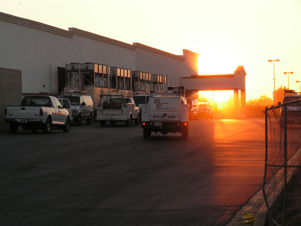
Fotos
god bless america. marysville, ca. 2007.
In my way
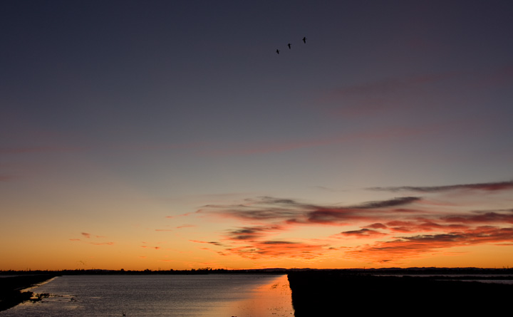
Feather River at stage 2
Feather River at stage 2

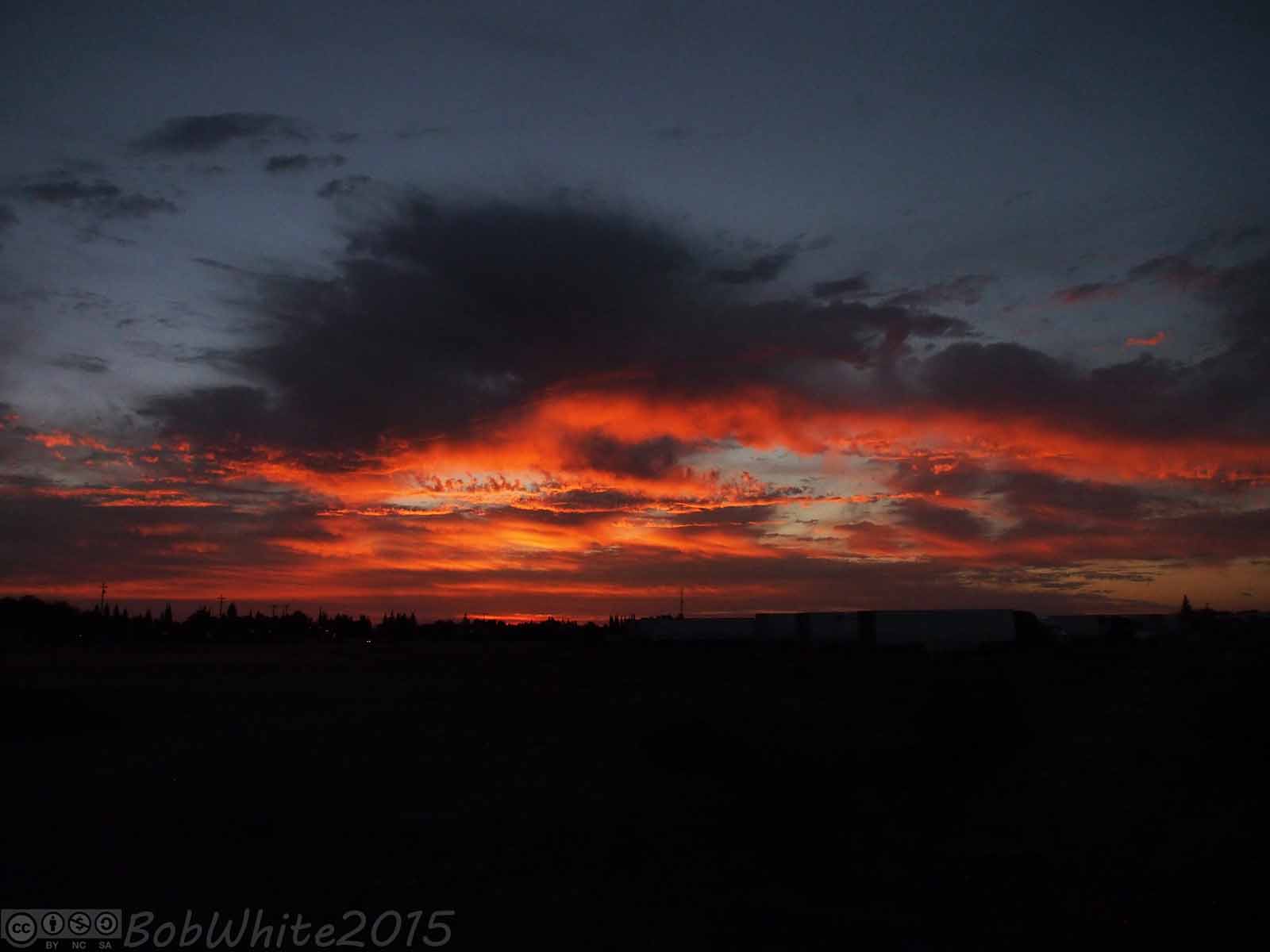
I found what I thought was a nice comp for a sunset shot and if these clouds had stayed in place for 15 minutes longer, it would have been perfect. As it was, they still caught some nice light as they continued to move off to the east. #visityubasutter #s
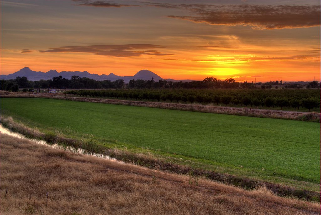
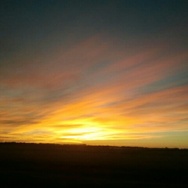
Sunset over the Rice Fields
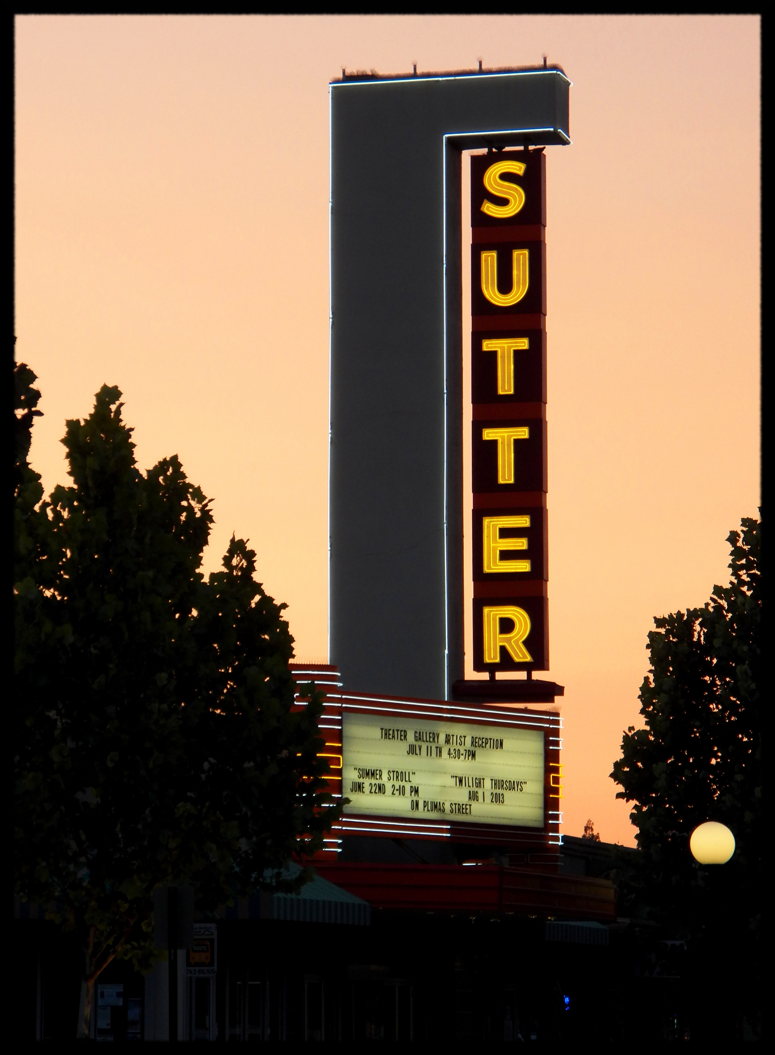
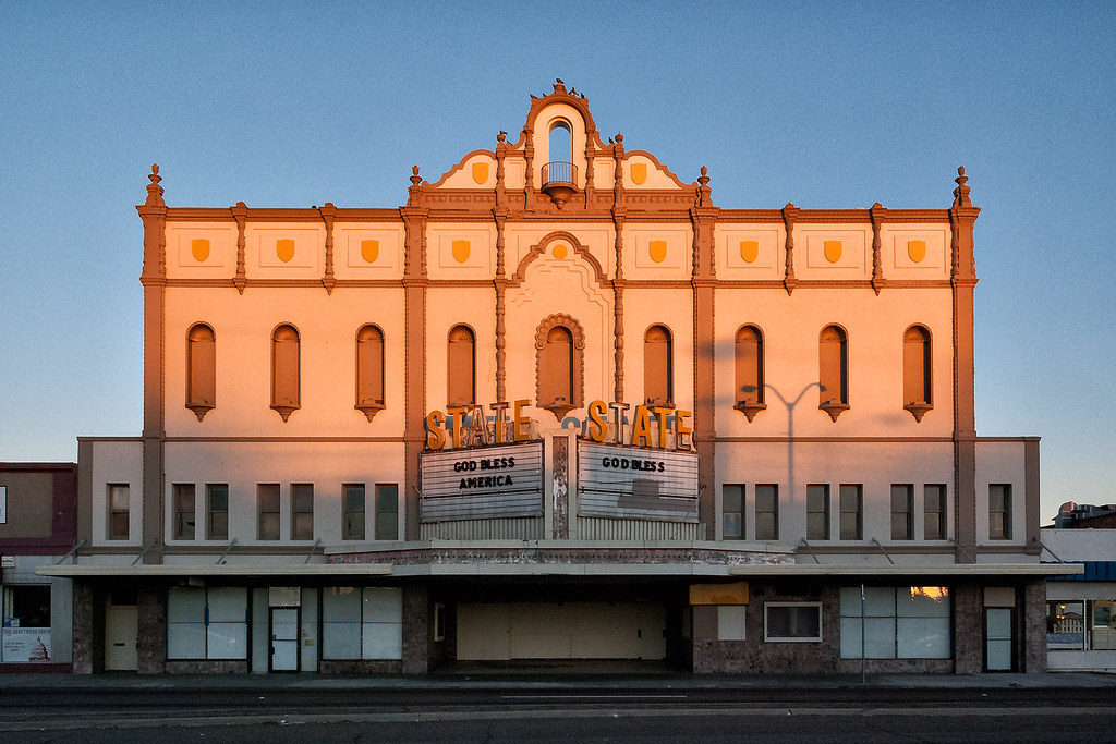
Sutter Theater
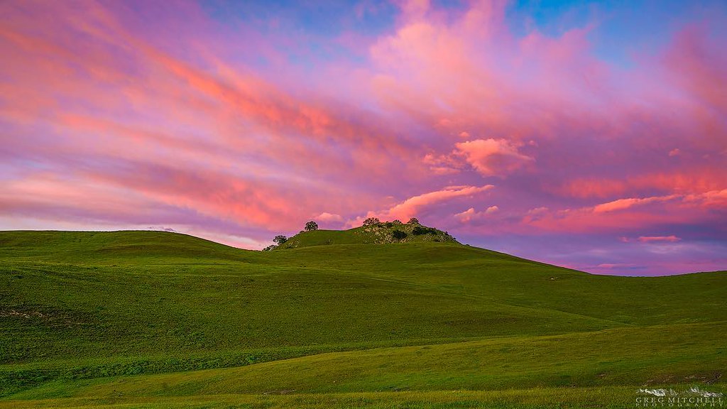
Sunset over the Sutter Buttes
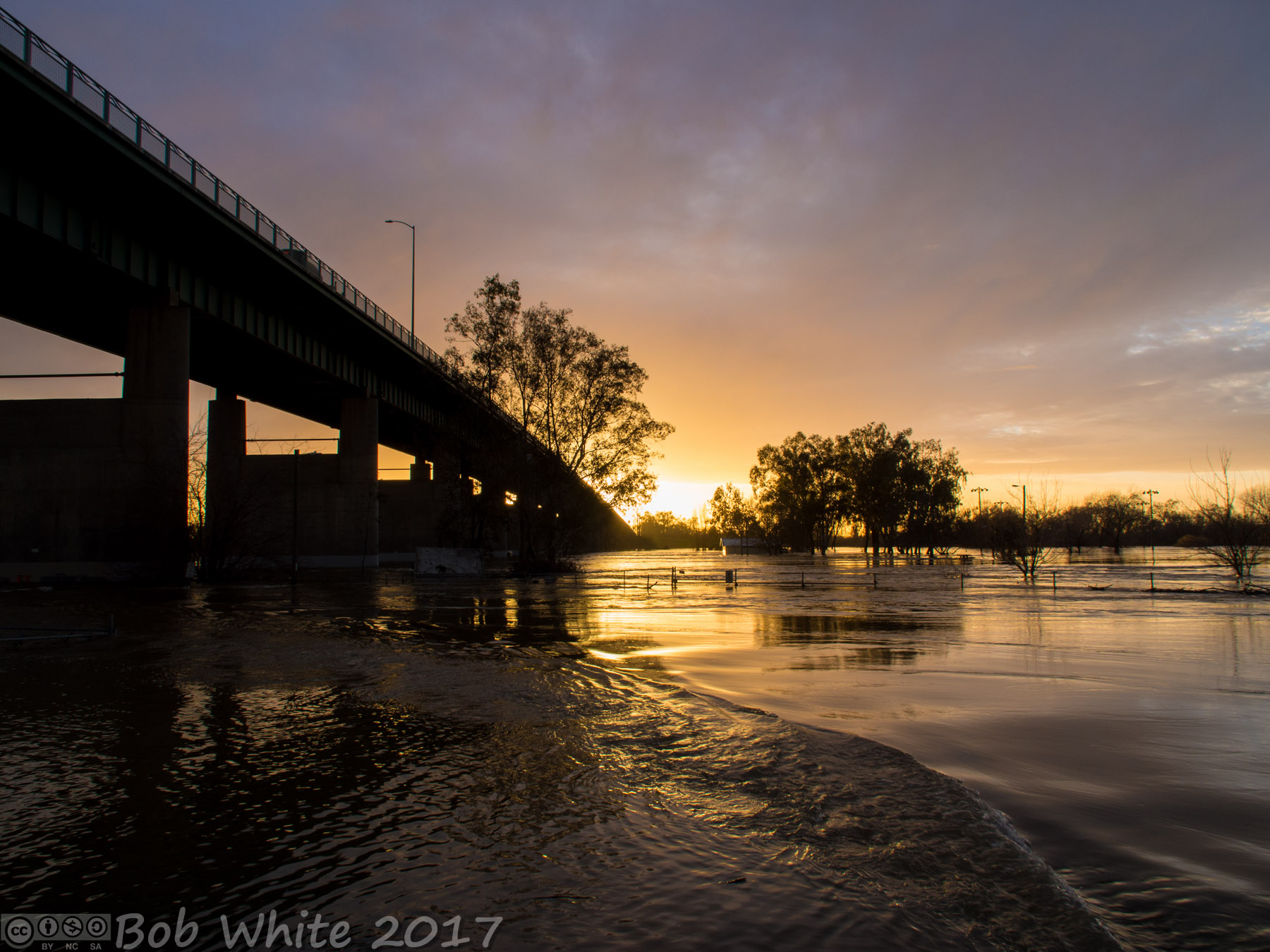
Feather River at stage 2
Sunset. Ayyyyy
Sunset at the Buttes. After six hours of driving and chasing wildflowers in the wind, I was finally rewarded with some big spring color. #suttercounty #sutterbuttes #ignorcal #visitcalifornia #spring2016 #gregmitchellphotography #tactilephoto
000367 - Sundown
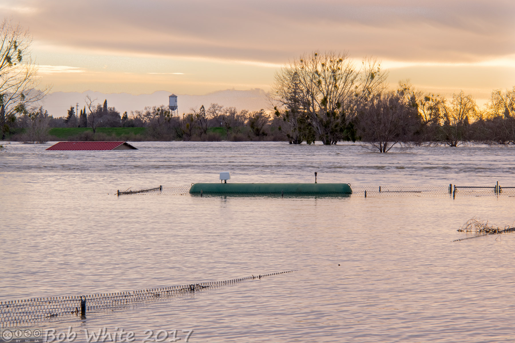
Feather River at stage 2

000364 - Sundown
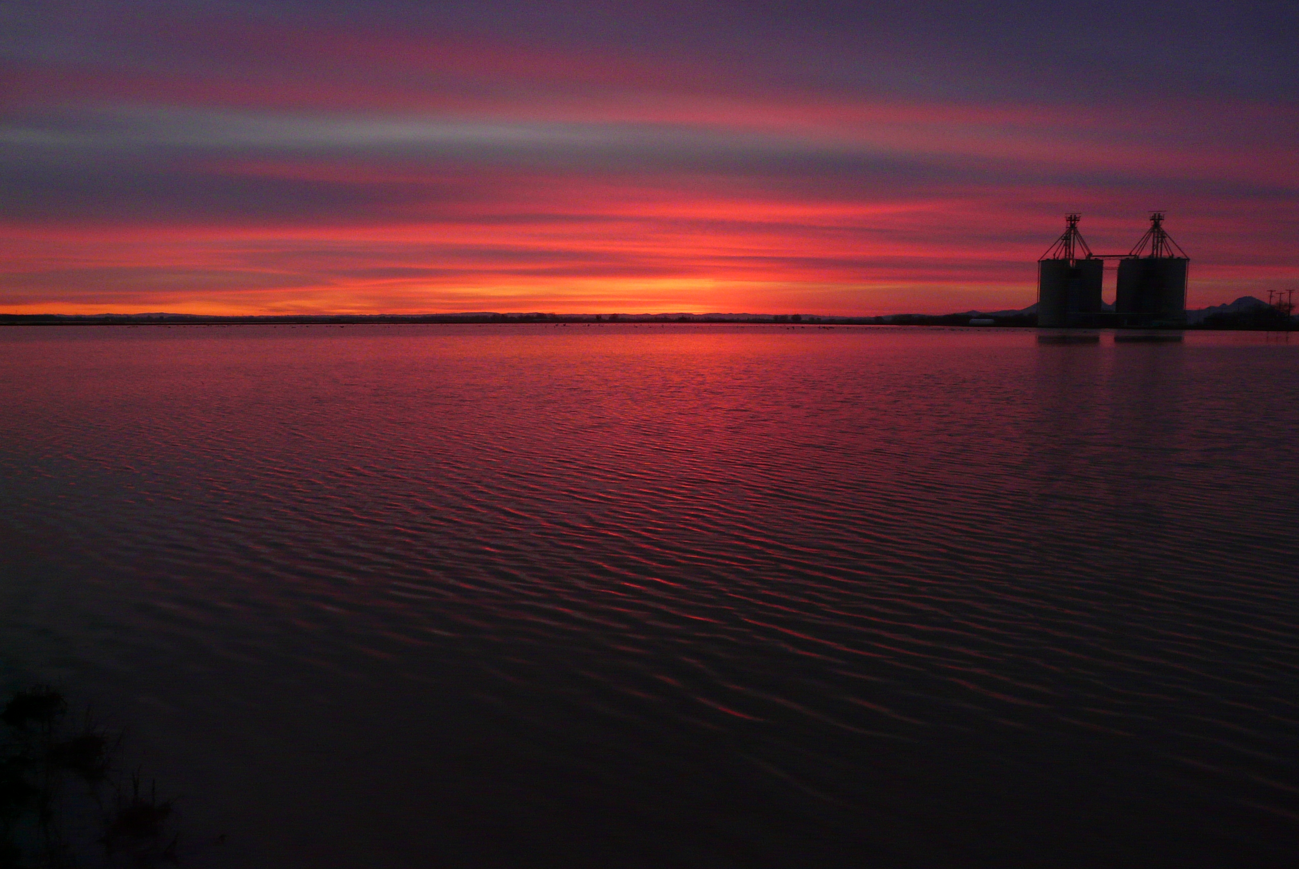
Silos in the sunset
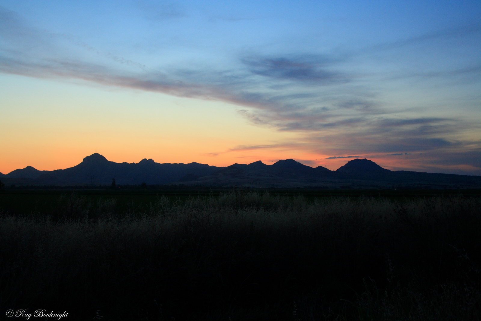
Sutter Buttes Sunset

000363 - Sundown

Late afternoon cropdusting
kimball lane. marysville, ca. 2007.

Sutter Buttes
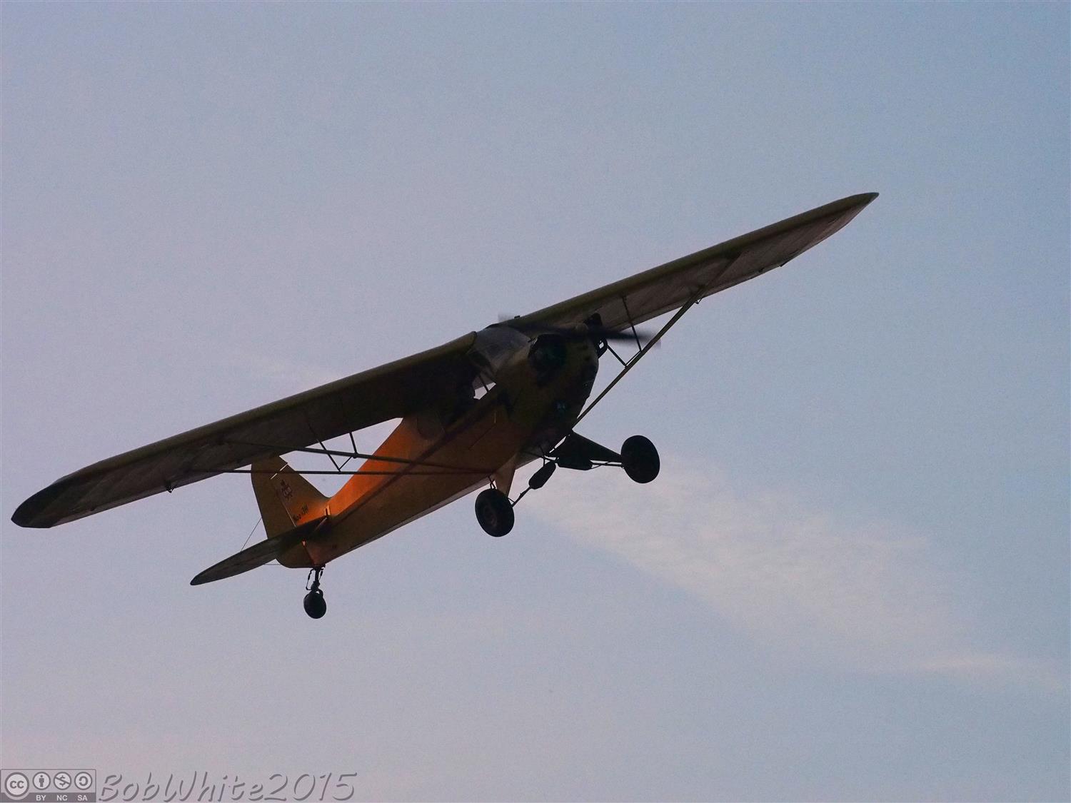
Late afternoon cropdusting
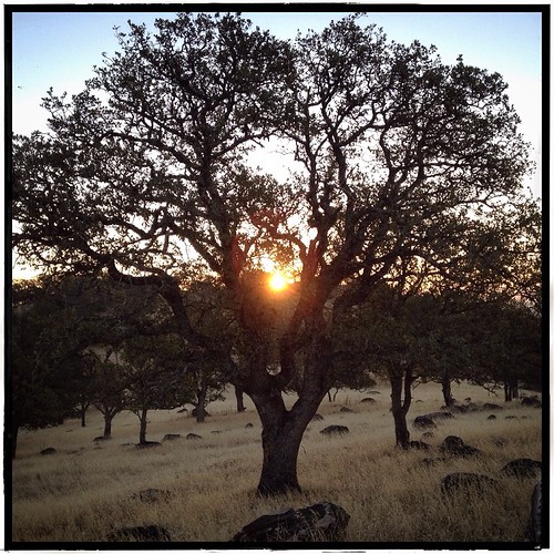
Sunrise, Sutter Buttes. My final color tree shot for now.
sunrise 2
Marysville in the morning
sunrise 4
sunrise 3
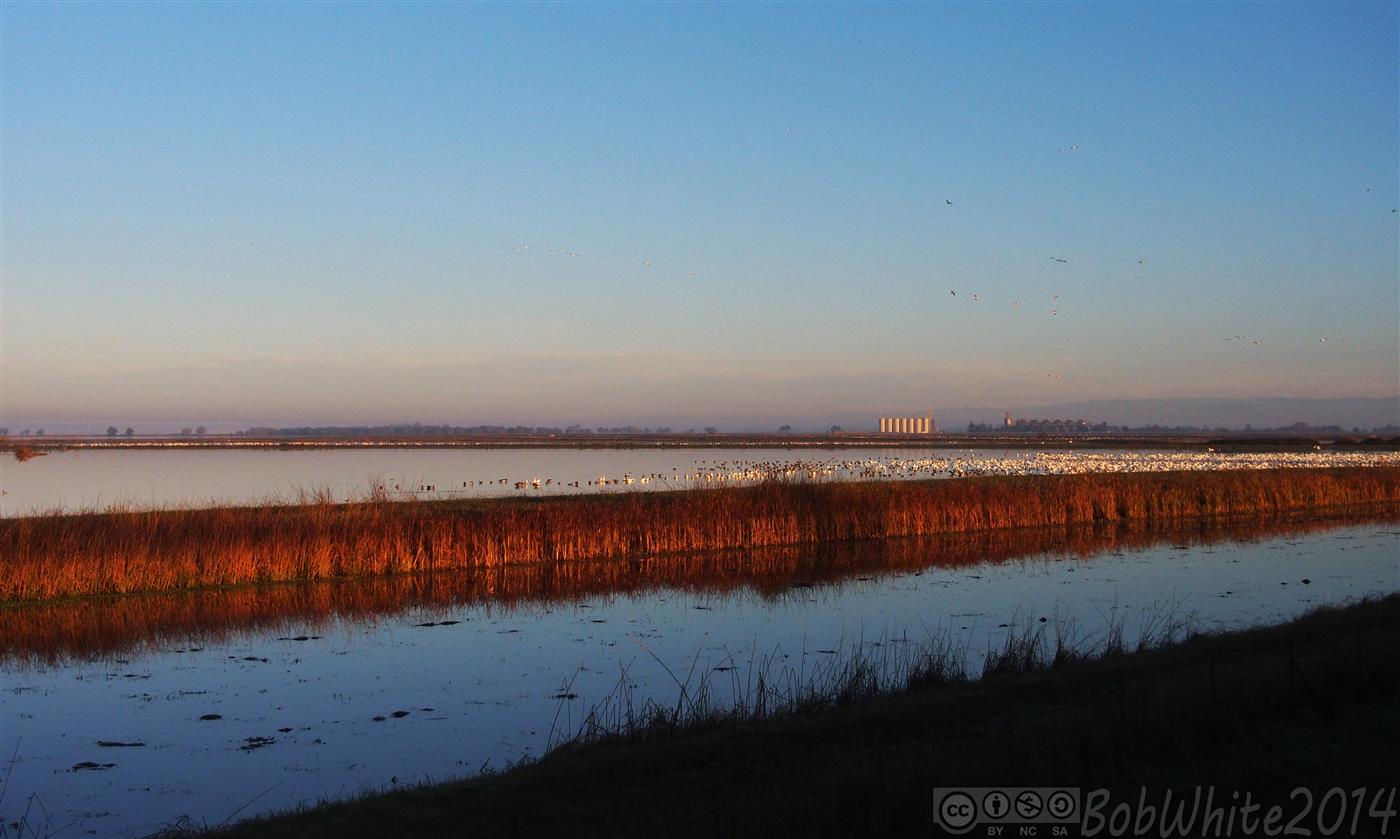
Rice field

February Sunrise
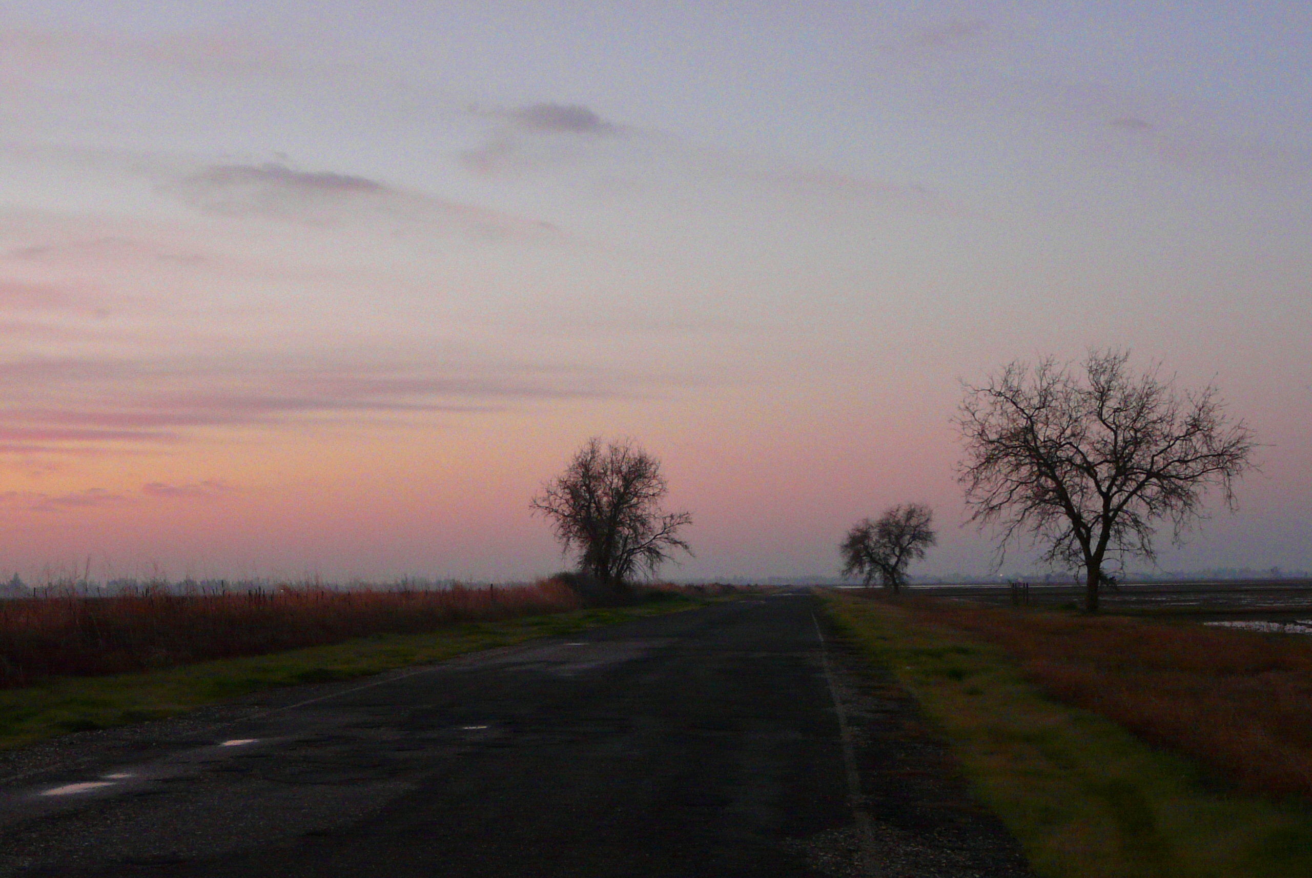
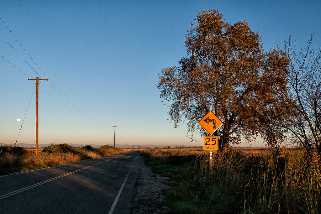
Kimball Lane
sunrise 6
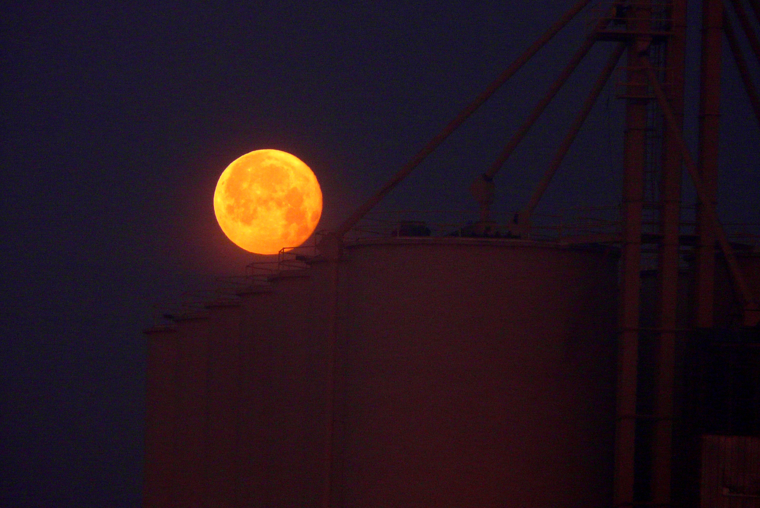
Moonsetting into silos
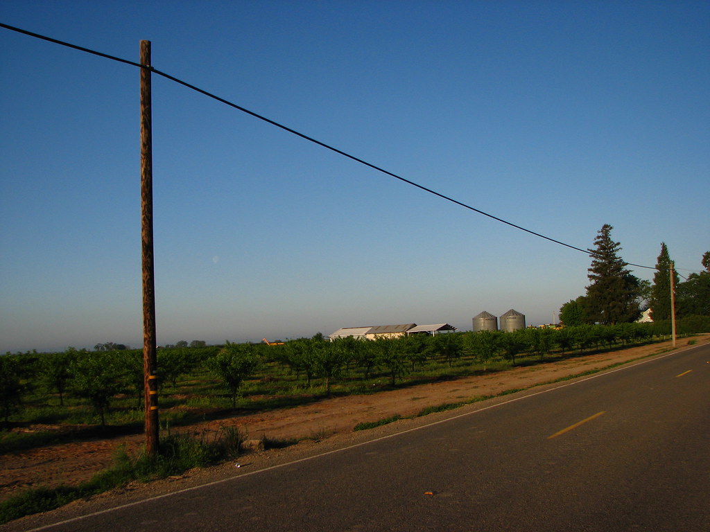
Yuba City - Morning Orchard
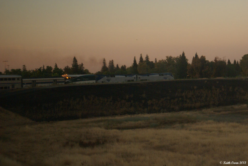
Coast Starlight
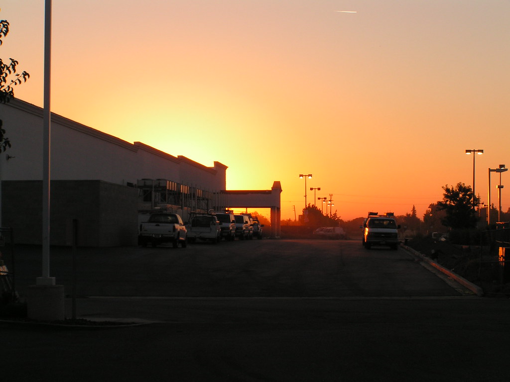
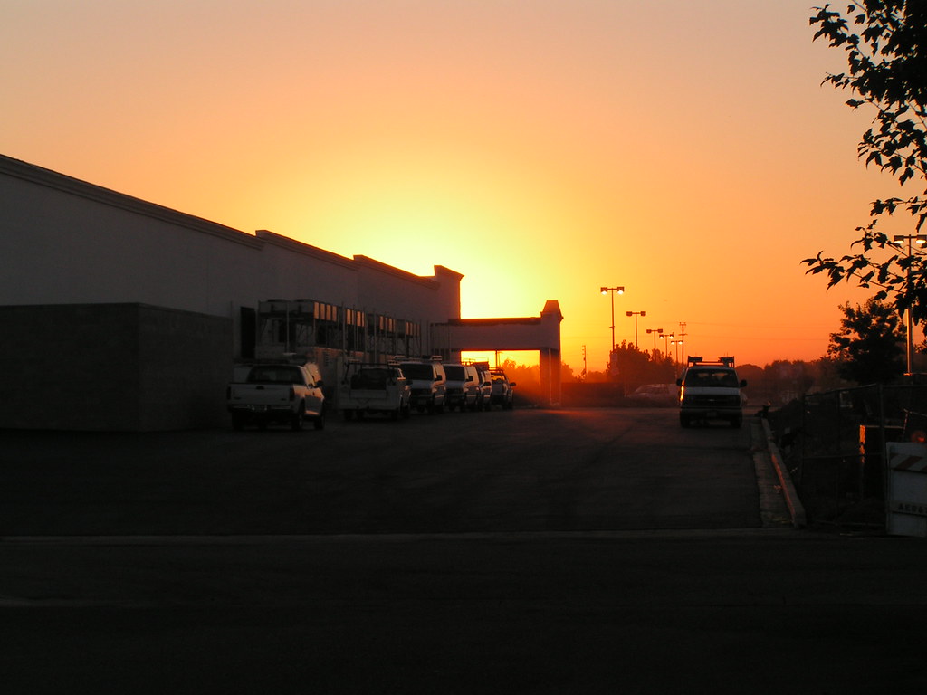
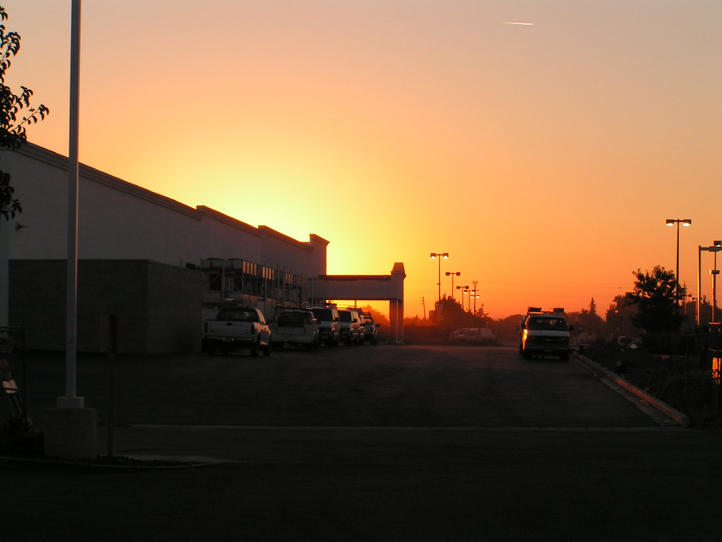
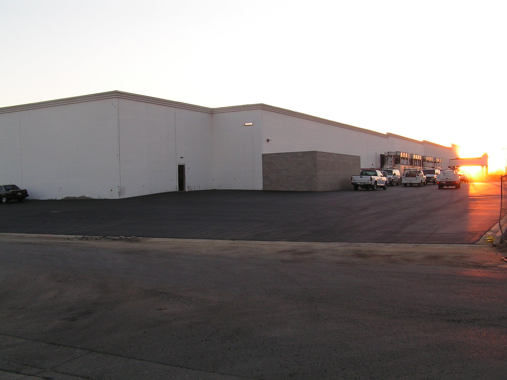
Sunrise at work
Subtle sunrise
sunrise 5
Mapa de Franklin Elementary School, N Township Rd, Yuba City, CA, EE. UU.
Buscar otro lugar
Lugares cercanos
Kim Way, Yuba City, CA, EE. UU.
Franklin Rd, Yuba City, CA, EE. UU.
Atkinson Ct, Yuba City, CA, EE. UU.
La Mantia Dr, Yuba City, CA, EE. UU.
Independence Drive, Independence Dr, Yuba City, CA, EE. UU.
Colusa Frontage Rd, Yuba City, CA, EE. UU.
Colusa Hwy, Yuba City, CA, EE. UU.
Roosevelt Rd, Yuba City, CA, EE. UU.
River Valley High School, El Margarita Rd, Yuba City, CA, EE. UU.
Bryn Mawr Drive, Bryn Mawr Dr, Yuba City, CA, EE. UU.
Bryn Mawr Dr, Yuba City, CA, EE. UU.
Butte House Road, Butte House Rd, California, EE. UU.
Lorrie Way, Yuba City, CA, EE. UU.
Carson Dr, Yuba City, CA, EE. UU.
Walmart Supercenter, Harter Pkwy, Yuba City, CA, EE. UU.
Michelle Dr, Yuba City, CA, EE. UU.
Sierra Ave, Yuba City, CA, EE. UU.
Tierra Buena, California, EE. UU.
Yolanda Dr, Yuba City, CA, EE. UU.
N Township Rd, Yuba City, CA, EE. UU.
Búsquedas recientes
- Horas de salida y puesta de sol de Red Dog Mine, AK, USA
- Horas de salida y puesta de sol de Am Bahnhof, Am bhf, Borken, Germany
- Horas de salida y puesta de sol de 4th St E, Sonoma, CA, EE. UU.
- Horas de salida y puesta de sol de Oakland Ave, Williamsport, PA, EE. UU.
- Horas de salida y puesta de sol de Via Roma, Pieranica CR, Italia
- Horas de salida y puesta de sol de Torre del reloj, Grad, Dubrovnik (Ragusa), Croacia
- Horas de salida y puesta de sol de Trelew, Chubut, Argentina
- Horas de salida y puesta de sol de Hartfords Bluff Cir, Mt Pleasant, SC, EE. UU.
- Horas de salida y puesta de sol de Kita Ward, Kumamoto, Japón
- Horas de salida y puesta de sol de Pingtan Island, Pingtan County, Fuzhou, China