Horas de salida y puesta de sol de Dry Pine Bay, French River, ON, Canadá
Location: Canadá > Ontario > Sudbury District > French River >
Zona horaria:
America/Toronto
Hora local:
2025-05-24 22:06:11
Longitud:
-80.5695972
Latitud:
46.0386112
Salida de sol de hoy:
05:39:09 AM
Puesta de sol de hoy:
08:59:27 PM
La duración del día hoy:
15h 20m 18s
Salida de sol de mañana:
05:38:21 AM
Puesta de sol de mañana:
09:00:28 PM
La duración del día mañana:
15h 22m 7s
Mostrar todas las fechas
| Fecha | Salida de sol | Puesta de sol | Duración del día |
|---|---|---|---|
| 01/01/2025 | 08:04:14 AM | 04:48:33 PM | 8h 44m 19s |
| 02/01/2025 | 08:04:10 AM | 04:49:32 PM | 8h 45m 22s |
| 03/01/2025 | 08:04:04 AM | 04:50:33 PM | 8h 46m 29s |
| 04/01/2025 | 08:03:55 AM | 04:51:35 PM | 8h 47m 40s |
| 05/01/2025 | 08:03:44 AM | 04:52:39 PM | 8h 48m 55s |
| 06/01/2025 | 08:03:29 AM | 04:53:45 PM | 8h 50m 16s |
| 07/01/2025 | 08:03:12 AM | 04:54:53 PM | 8h 51m 41s |
| 08/01/2025 | 08:02:53 AM | 04:56:02 PM | 8h 53m 9s |
| 09/01/2025 | 08:02:31 AM | 04:57:13 PM | 8h 54m 42s |
| 10/01/2025 | 08:02:06 AM | 04:58:26 PM | 8h 56m 20s |
| 11/01/2025 | 08:01:38 AM | 04:59:39 PM | 8h 58m 1s |
| 12/01/2025 | 08:01:08 AM | 05:00:54 PM | 8h 59m 46s |
| 13/01/2025 | 08:00:36 AM | 05:02:11 PM | 9h 1m 35s |
| 14/01/2025 | 08:00:01 AM | 05:03:28 PM | 9h 3m 27s |
| 15/01/2025 | 07:59:23 AM | 05:04:47 PM | 9h 5m 24s |
| 16/01/2025 | 07:58:43 AM | 05:06:07 PM | 9h 7m 24s |
| 17/01/2025 | 07:58:01 AM | 05:07:27 PM | 9h 9m 26s |
| 18/01/2025 | 07:57:16 AM | 05:08:49 PM | 9h 11m 33s |
| 19/01/2025 | 07:56:29 AM | 05:10:12 PM | 9h 13m 43s |
| 20/01/2025 | 07:55:39 AM | 05:11:35 PM | 9h 15m 56s |
| 21/01/2025 | 07:54:47 AM | 05:12:59 PM | 9h 18m 12s |
| 22/01/2025 | 07:53:53 AM | 05:14:24 PM | 9h 20m 31s |
| 23/01/2025 | 07:52:57 AM | 05:15:49 PM | 9h 22m 52s |
| 24/01/2025 | 07:51:58 AM | 05:17:15 PM | 9h 25m 17s |
| 25/01/2025 | 07:50:58 AM | 05:18:42 PM | 9h 27m 44s |
| 26/01/2025 | 07:49:55 AM | 05:20:09 PM | 9h 30m 14s |
| 27/01/2025 | 07:48:50 AM | 05:21:37 PM | 9h 32m 47s |
| 28/01/2025 | 07:47:44 AM | 05:23:04 PM | 9h 35m 20s |
| 29/01/2025 | 07:46:35 AM | 05:24:33 PM | 9h 37m 58s |
| 30/01/2025 | 07:45:24 AM | 05:26:01 PM | 9h 40m 37s |
| 31/01/2025 | 07:44:12 AM | 05:27:30 PM | 9h 43m 18s |
| 01/02/2025 | 07:42:58 AM | 05:28:59 PM | 9h 46m 1s |
| 02/02/2025 | 07:41:42 AM | 05:30:28 PM | 9h 48m 46s |
| 03/02/2025 | 07:40:24 AM | 05:31:57 PM | 9h 51m 33s |
| 04/02/2025 | 07:39:04 AM | 05:33:26 PM | 9h 54m 22s |
| 05/02/2025 | 07:37:43 AM | 05:34:56 PM | 9h 57m 13s |
| 06/02/2025 | 07:36:20 AM | 05:36:25 PM | 10h 0m 5s |
| 07/02/2025 | 07:34:56 AM | 05:37:55 PM | 10h 2m 59s |
| 08/02/2025 | 07:33:30 AM | 05:39:24 PM | 10h 5m 54s |
| 09/02/2025 | 07:32:02 AM | 05:40:53 PM | 10h 8m 51s |
| 10/02/2025 | 07:30:34 AM | 05:42:22 PM | 10h 11m 48s |
| 11/02/2025 | 07:29:03 AM | 05:43:51 PM | 10h 14m 48s |
| 12/02/2025 | 07:27:32 AM | 05:45:20 PM | 10h 17m 48s |
| 13/02/2025 | 07:25:59 AM | 05:46:49 PM | 10h 20m 50s |
| 14/02/2025 | 07:24:24 AM | 05:48:18 PM | 10h 23m 54s |
| 15/02/2025 | 07:22:49 AM | 05:49:46 PM | 10h 26m 57s |
| 16/02/2025 | 07:21:12 AM | 05:51:14 PM | 10h 30m 2s |
| 17/02/2025 | 07:19:34 AM | 05:52:42 PM | 10h 33m 8s |
| 18/02/2025 | 07:17:55 AM | 05:54:10 PM | 10h 36m 15s |
| 19/02/2025 | 07:16:15 AM | 05:55:38 PM | 10h 39m 23s |
| 20/02/2025 | 07:14:34 AM | 05:57:05 PM | 10h 42m 31s |
| 21/02/2025 | 07:12:52 AM | 05:58:32 PM | 10h 45m 40s |
| 22/02/2025 | 07:11:09 AM | 05:59:59 PM | 10h 48m 50s |
| 23/02/2025 | 07:09:25 AM | 06:01:25 PM | 10h 52m 0s |
| 24/02/2025 | 07:07:40 AM | 06:02:51 PM | 10h 55m 11s |
| 25/02/2025 | 07:05:54 AM | 06:04:17 PM | 10h 58m 23s |
| 26/02/2025 | 07:04:08 AM | 06:05:43 PM | 11h 1m 35s |
| 27/02/2025 | 07:02:20 AM | 06:07:08 PM | 11h 4m 48s |
| 28/02/2025 | 07:00:32 AM | 06:08:33 PM | 11h 8m 1s |
| 01/03/2025 | 06:58:43 AM | 06:09:58 PM | 11h 11m 15s |
| 02/03/2025 | 06:56:54 AM | 06:11:22 PM | 11h 14m 28s |
| 03/03/2025 | 06:55:03 AM | 06:12:47 PM | 11h 17m 44s |
| 04/03/2025 | 06:53:13 AM | 06:14:11 PM | 11h 20m 58s |
| 05/03/2025 | 06:51:21 AM | 06:15:34 PM | 11h 24m 13s |
| 06/03/2025 | 06:49:29 AM | 06:16:58 PM | 11h 27m 29s |
| 07/03/2025 | 06:47:37 AM | 06:18:21 PM | 11h 30m 44s |
| 08/03/2025 | 06:45:44 AM | 06:19:44 PM | 11h 34m 0s |
| 09/03/2025 | 07:43:55 AM | 07:21:03 PM | 11h 37m 8s |
| 10/03/2025 | 07:42:02 AM | 07:22:25 PM | 11h 40m 23s |
| 11/03/2025 | 07:40:07 AM | 07:23:48 PM | 11h 43m 41s |
| 12/03/2025 | 07:38:13 AM | 07:25:10 PM | 11h 46m 57s |
| 13/03/2025 | 07:36:18 AM | 07:26:31 PM | 11h 50m 13s |
| 14/03/2025 | 07:34:23 AM | 07:27:53 PM | 11h 53m 30s |
| 15/03/2025 | 07:32:28 AM | 07:29:14 PM | 11h 56m 46s |
| 16/03/2025 | 07:30:32 AM | 07:30:36 PM | 12h 0m 4s |
| 17/03/2025 | 07:28:36 AM | 07:31:57 PM | 12h 3m 21s |
| 18/03/2025 | 07:26:40 AM | 07:33:17 PM | 12h 6m 37s |
| 19/03/2025 | 07:24:44 AM | 07:34:38 PM | 12h 9m 54s |
| 20/03/2025 | 07:22:48 AM | 07:35:59 PM | 12h 13m 11s |
| 21/03/2025 | 07:20:52 AM | 07:37:19 PM | 12h 16m 27s |
| 22/03/2025 | 07:18:56 AM | 07:38:39 PM | 12h 19m 43s |
| 23/03/2025 | 07:17:00 AM | 07:39:59 PM | 12h 22m 59s |
| 24/03/2025 | 07:15:03 AM | 07:41:19 PM | 12h 26m 16s |
| 25/03/2025 | 07:13:07 AM | 07:42:39 PM | 12h 29m 32s |
| 26/03/2025 | 07:11:11 AM | 07:43:59 PM | 12h 32m 48s |
| 27/03/2025 | 07:09:15 AM | 07:45:19 PM | 12h 36m 4s |
| 28/03/2025 | 07:07:19 AM | 07:46:39 PM | 12h 39m 20s |
| 29/03/2025 | 07:05:24 AM | 07:47:58 PM | 12h 42m 34s |
| 30/03/2025 | 07:03:28 AM | 07:49:18 PM | 12h 45m 50s |
| 31/03/2025 | 07:01:33 AM | 07:50:37 PM | 12h 49m 4s |
| 01/04/2025 | 06:59:38 AM | 07:51:57 PM | 12h 52m 19s |
| 02/04/2025 | 06:57:44 AM | 07:53:16 PM | 12h 55m 32s |
| 03/04/2025 | 06:55:50 AM | 07:54:36 PM | 12h 58m 46s |
| 04/04/2025 | 06:53:56 AM | 07:55:55 PM | 13h 1m 59s |
| 05/04/2025 | 06:52:02 AM | 07:57:14 PM | 13h 5m 12s |
| 06/04/2025 | 06:50:09 AM | 07:58:34 PM | 13h 8m 25s |
| 07/04/2025 | 06:48:17 AM | 07:59:53 PM | 13h 11m 36s |
| 08/04/2025 | 06:46:25 AM | 08:01:12 PM | 13h 14m 47s |
| 09/04/2025 | 06:44:33 AM | 08:02:32 PM | 13h 17m 59s |
| 10/04/2025 | 06:42:42 AM | 08:03:51 PM | 13h 21m 9s |
| 11/04/2025 | 06:40:52 AM | 08:05:10 PM | 13h 24m 18s |
| 12/04/2025 | 06:39:02 AM | 08:06:29 PM | 13h 27m 27s |
| 13/04/2025 | 06:37:13 AM | 08:07:49 PM | 13h 30m 36s |
| 14/04/2025 | 06:35:25 AM | 08:09:08 PM | 13h 33m 43s |
| 15/04/2025 | 06:33:37 AM | 08:10:27 PM | 13h 36m 50s |
| 16/04/2025 | 06:31:50 AM | 08:11:46 PM | 13h 39m 56s |
| 17/04/2025 | 06:30:04 AM | 08:13:06 PM | 13h 43m 2s |
| 18/04/2025 | 06:28:19 AM | 08:14:25 PM | 13h 46m 6s |
| 19/04/2025 | 06:26:35 AM | 08:15:44 PM | 13h 49m 9s |
| 20/04/2025 | 06:24:51 AM | 08:17:03 PM | 13h 52m 12s |
| 21/04/2025 | 06:23:09 AM | 08:18:22 PM | 13h 55m 13s |
| 22/04/2025 | 06:21:27 AM | 08:19:41 PM | 13h 58m 14s |
| 23/04/2025 | 06:19:47 AM | 08:21:00 PM | 14h 1m 13s |
| 24/04/2025 | 06:18:07 AM | 08:22:19 PM | 14h 4m 12s |
| 25/04/2025 | 06:16:29 AM | 08:23:38 PM | 14h 7m 9s |
| 26/04/2025 | 06:14:51 AM | 08:24:56 PM | 14h 10m 5s |
| 27/04/2025 | 06:13:15 AM | 08:26:15 PM | 14h 13m 0s |
| 28/04/2025 | 06:11:40 AM | 08:27:33 PM | 14h 15m 53s |
| 29/04/2025 | 06:10:07 AM | 08:28:51 PM | 14h 18m 44s |
| 30/04/2025 | 06:08:34 AM | 08:30:09 PM | 14h 21m 35s |
| 01/05/2025 | 06:07:03 AM | 08:31:26 PM | 14h 24m 23s |
| 02/05/2025 | 06:05:33 AM | 08:32:44 PM | 14h 27m 11s |
| 03/05/2025 | 06:04:05 AM | 08:34:01 PM | 14h 29m 56s |
| 04/05/2025 | 06:02:38 AM | 08:35:18 PM | 14h 32m 40s |
| 05/05/2025 | 06:01:12 AM | 08:36:34 PM | 14h 35m 22s |
| 06/05/2025 | 05:59:48 AM | 08:37:51 PM | 14h 38m 3s |
| 07/05/2025 | 05:58:26 AM | 08:39:06 PM | 14h 40m 40s |
| 08/05/2025 | 05:57:05 AM | 08:40:22 PM | 14h 43m 17s |
| 09/05/2025 | 05:55:45 AM | 08:41:36 PM | 14h 45m 51s |
| 10/05/2025 | 05:54:28 AM | 08:42:51 PM | 14h 48m 23s |
| 11/05/2025 | 05:53:12 AM | 08:44:05 PM | 14h 50m 53s |
| 12/05/2025 | 05:51:57 AM | 08:45:18 PM | 14h 53m 21s |
| 13/05/2025 | 05:50:45 AM | 08:46:30 PM | 14h 55m 45s |
| 14/05/2025 | 05:49:34 AM | 08:47:42 PM | 14h 58m 8s |
| 15/05/2025 | 05:48:25 AM | 08:48:54 PM | 15h 0m 29s |
| 16/05/2025 | 05:47:18 AM | 08:50:04 PM | 15h 2m 46s |
| 17/05/2025 | 05:46:13 AM | 08:51:14 PM | 15h 5m 1s |
| 18/05/2025 | 05:45:10 AM | 08:52:23 PM | 15h 7m 13s |
| 19/05/2025 | 05:44:09 AM | 08:53:31 PM | 15h 9m 22s |
| 20/05/2025 | 05:43:09 AM | 08:54:38 PM | 15h 11m 29s |
| 21/05/2025 | 05:42:12 AM | 08:55:44 PM | 15h 13m 32s |
| 22/05/2025 | 05:41:17 AM | 08:56:49 PM | 15h 15m 32s |
| 23/05/2025 | 05:40:24 AM | 08:57:53 PM | 15h 17m 29s |
| 24/05/2025 | 05:39:33 AM | 08:58:56 PM | 15h 19m 23s |
| 25/05/2025 | 05:38:45 AM | 08:59:57 PM | 15h 21m 12s |
| 26/05/2025 | 05:37:58 AM | 09:00:58 PM | 15h 23m 0s |
| 27/05/2025 | 05:37:14 AM | 09:01:57 PM | 15h 24m 43s |
| 28/05/2025 | 05:36:32 AM | 09:02:55 PM | 15h 26m 23s |
| 29/05/2025 | 05:35:52 AM | 09:03:51 PM | 15h 27m 59s |
| 30/05/2025 | 05:35:14 AM | 09:04:46 PM | 15h 29m 32s |
| 31/05/2025 | 05:34:39 AM | 09:05:39 PM | 15h 31m 0s |
| 01/06/2025 | 05:34:06 AM | 09:06:31 PM | 15h 32m 25s |
| 02/06/2025 | 05:33:36 AM | 09:07:21 PM | 15h 33m 45s |
| 03/06/2025 | 05:33:08 AM | 09:08:10 PM | 15h 35m 2s |
| 04/06/2025 | 05:32:42 AM | 09:08:57 PM | 15h 36m 15s |
| 05/06/2025 | 05:32:19 AM | 09:09:42 PM | 15h 37m 23s |
| 06/06/2025 | 05:31:58 AM | 09:10:25 PM | 15h 38m 27s |
| 07/06/2025 | 05:31:39 AM | 09:11:07 PM | 15h 39m 28s |
| 08/06/2025 | 05:31:23 AM | 09:11:46 PM | 15h 40m 23s |
| 09/06/2025 | 05:31:09 AM | 09:12:24 PM | 15h 41m 15s |
| 10/06/2025 | 05:30:58 AM | 09:13:00 PM | 15h 42m 2s |
| 11/06/2025 | 05:30:49 AM | 09:13:33 PM | 15h 42m 44s |
| 12/06/2025 | 05:30:43 AM | 09:14:05 PM | 15h 43m 22s |
| 13/06/2025 | 05:30:39 AM | 09:14:34 PM | 15h 43m 55s |
| 14/06/2025 | 05:30:37 AM | 09:15:01 PM | 15h 44m 24s |
| 15/06/2025 | 05:30:38 AM | 09:15:26 PM | 15h 44m 48s |
| 16/06/2025 | 05:30:41 AM | 09:15:49 PM | 15h 45m 8s |
| 17/06/2025 | 05:30:47 AM | 09:16:10 PM | 15h 45m 23s |
| 18/06/2025 | 05:30:55 AM | 09:16:28 PM | 15h 45m 33s |
| 19/06/2025 | 05:31:05 AM | 09:16:44 PM | 15h 45m 39s |
| 20/06/2025 | 05:31:18 AM | 09:16:57 PM | 15h 45m 39s |
| 21/06/2025 | 05:31:33 AM | 09:17:08 PM | 15h 45m 35s |
| 22/06/2025 | 05:31:50 AM | 09:17:17 PM | 15h 45m 27s |
| 23/06/2025 | 05:32:09 AM | 09:17:24 PM | 15h 45m 15s |
| 24/06/2025 | 05:32:31 AM | 09:17:28 PM | 15h 44m 57s |
| 25/06/2025 | 05:32:55 AM | 09:17:29 PM | 15h 44m 34s |
| 26/06/2025 | 05:33:20 AM | 09:17:28 PM | 15h 44m 8s |
| 27/06/2025 | 05:33:48 AM | 09:17:25 PM | 15h 43m 37s |
| 28/06/2025 | 05:34:18 AM | 09:17:19 PM | 15h 43m 1s |
| 29/06/2025 | 05:34:50 AM | 09:17:11 PM | 15h 42m 21s |
| 30/06/2025 | 05:35:25 AM | 09:17:00 PM | 15h 41m 35s |
| 01/07/2025 | 05:36:01 AM | 09:16:47 PM | 15h 40m 46s |
| 02/07/2025 | 05:36:38 AM | 09:16:31 PM | 15h 39m 53s |
| 03/07/2025 | 05:37:18 AM | 09:16:13 PM | 15h 38m 55s |
| 04/07/2025 | 05:38:00 AM | 09:15:52 PM | 15h 37m 52s |
| 05/07/2025 | 05:38:43 AM | 09:15:29 PM | 15h 36m 46s |
| 06/07/2025 | 05:39:28 AM | 09:15:03 PM | 15h 35m 35s |
| 07/07/2025 | 05:40:14 AM | 09:14:36 PM | 15h 34m 22s |
| 08/07/2025 | 05:41:03 AM | 09:14:05 PM | 15h 33m 2s |
| 09/07/2025 | 05:41:52 AM | 09:13:32 PM | 15h 31m 40s |
| 10/07/2025 | 05:42:44 AM | 09:12:57 PM | 15h 30m 13s |
| 11/07/2025 | 05:43:36 AM | 09:12:20 PM | 15h 28m 44s |
| 12/07/2025 | 05:44:30 AM | 09:11:40 PM | 15h 27m 10s |
| 13/07/2025 | 05:45:26 AM | 09:10:58 PM | 15h 25m 32s |
| 14/07/2025 | 05:46:22 AM | 09:10:14 PM | 15h 23m 52s |
| 15/07/2025 | 05:47:20 AM | 09:09:27 PM | 15h 22m 7s |
| 16/07/2025 | 05:48:19 AM | 09:08:38 PM | 15h 20m 19s |
| 17/07/2025 | 05:49:20 AM | 09:07:47 PM | 15h 18m 27s |
| 18/07/2025 | 05:50:21 AM | 09:06:54 PM | 15h 16m 33s |
| 19/07/2025 | 05:51:23 AM | 09:05:59 PM | 15h 14m 36s |
| 20/07/2025 | 05:52:27 AM | 09:05:01 PM | 15h 12m 34s |
| 21/07/2025 | 05:53:31 AM | 09:04:02 PM | 15h 10m 31s |
| 22/07/2025 | 05:54:36 AM | 09:03:00 PM | 15h 8m 24s |
| 23/07/2025 | 05:55:42 AM | 09:01:57 PM | 15h 6m 15s |
| 24/07/2025 | 05:56:49 AM | 09:00:51 PM | 15h 4m 2s |
| 25/07/2025 | 05:57:56 AM | 08:59:44 PM | 15h 1m 48s |
| 26/07/2025 | 05:59:04 AM | 08:58:35 PM | 14h 59m 31s |
| 27/07/2025 | 06:00:13 AM | 08:57:23 PM | 14h 57m 10s |
| 28/07/2025 | 06:01:22 AM | 08:56:10 PM | 14h 54m 48s |
| 29/07/2025 | 06:02:32 AM | 08:54:56 PM | 14h 52m 24s |
| 30/07/2025 | 06:03:43 AM | 08:53:39 PM | 14h 49m 56s |
| 31/07/2025 | 06:04:54 AM | 08:52:21 PM | 14h 47m 27s |
| 01/08/2025 | 06:06:05 AM | 08:51:01 PM | 14h 44m 56s |
| 02/08/2025 | 06:07:17 AM | 08:49:40 PM | 14h 42m 23s |
| 03/08/2025 | 06:08:29 AM | 08:48:16 PM | 14h 39m 47s |
| 04/08/2025 | 06:09:42 AM | 08:46:52 PM | 14h 37m 10s |
| 05/08/2025 | 06:10:55 AM | 08:45:26 PM | 14h 34m 31s |
| 06/08/2025 | 06:12:08 AM | 08:43:58 PM | 14h 31m 50s |
| 07/08/2025 | 06:13:21 AM | 08:42:29 PM | 14h 29m 8s |
| 08/08/2025 | 06:14:35 AM | 08:40:58 PM | 14h 26m 23s |
| 09/08/2025 | 06:15:49 AM | 08:39:27 PM | 14h 23m 38s |
| 10/08/2025 | 06:17:03 AM | 08:37:53 PM | 14h 20m 50s |
| 11/08/2025 | 06:18:17 AM | 08:36:19 PM | 14h 18m 2s |
| 12/08/2025 | 06:19:32 AM | 08:34:43 PM | 14h 15m 11s |
| 13/08/2025 | 06:20:46 AM | 08:33:06 PM | 14h 12m 20s |
| 14/08/2025 | 06:22:01 AM | 08:31:28 PM | 14h 9m 27s |
| 15/08/2025 | 06:23:15 AM | 08:29:49 PM | 14h 6m 34s |
| 16/08/2025 | 06:24:30 AM | 08:28:09 PM | 14h 3m 39s |
| 17/08/2025 | 06:25:45 AM | 08:26:27 PM | 14h 0m 42s |
| 18/08/2025 | 06:27:00 AM | 08:24:45 PM | 13h 57m 45s |
| 19/08/2025 | 06:28:15 AM | 08:23:01 PM | 13h 54m 46s |
| 20/08/2025 | 06:29:30 AM | 08:21:17 PM | 13h 51m 47s |
| 21/08/2025 | 06:30:45 AM | 08:19:32 PM | 13h 48m 47s |
| 22/08/2025 | 06:32:00 AM | 08:17:45 PM | 13h 45m 45s |
| 23/08/2025 | 06:33:14 AM | 08:15:58 PM | 13h 42m 44s |
| 24/08/2025 | 06:34:29 AM | 08:14:10 PM | 13h 39m 41s |
| 25/08/2025 | 06:35:44 AM | 08:12:22 PM | 13h 36m 38s |
| 26/08/2025 | 06:36:59 AM | 08:10:32 PM | 13h 33m 33s |
| 27/08/2025 | 06:38:14 AM | 08:08:42 PM | 13h 30m 28s |
| 28/08/2025 | 06:39:29 AM | 08:06:51 PM | 13h 27m 22s |
| 29/08/2025 | 06:40:44 AM | 08:05:00 PM | 13h 24m 16s |
| 30/08/2025 | 06:41:58 AM | 08:03:07 PM | 13h 21m 9s |
| 31/08/2025 | 06:43:13 AM | 08:01:15 PM | 13h 18m 2s |
| 01/09/2025 | 06:44:28 AM | 07:59:21 PM | 13h 14m 53s |
| 02/09/2025 | 06:45:43 AM | 07:57:28 PM | 13h 11m 45s |
| 03/09/2025 | 06:46:57 AM | 07:55:33 PM | 13h 8m 36s |
| 04/09/2025 | 06:48:12 AM | 07:53:38 PM | 13h 5m 26s |
| 05/09/2025 | 06:49:27 AM | 07:51:43 PM | 13h 2m 16s |
| 06/09/2025 | 06:50:41 AM | 07:49:48 PM | 12h 59m 7s |
| 07/09/2025 | 06:51:56 AM | 07:47:52 PM | 12h 55m 56s |
| 08/09/2025 | 06:53:11 AM | 07:45:55 PM | 12h 52m 44s |
| 09/09/2025 | 06:54:25 AM | 07:43:59 PM | 12h 49m 34s |
| 10/09/2025 | 06:55:40 AM | 07:42:02 PM | 12h 46m 22s |
| 11/09/2025 | 06:56:55 AM | 07:40:04 PM | 12h 43m 9s |
| 12/09/2025 | 06:58:10 AM | 07:38:07 PM | 12h 39m 57s |
| 13/09/2025 | 06:59:25 AM | 07:36:09 PM | 12h 36m 44s |
| 14/09/2025 | 07:00:39 AM | 07:34:12 PM | 12h 33m 33s |
| 15/09/2025 | 07:01:54 AM | 07:32:14 PM | 12h 30m 20s |
| 16/09/2025 | 07:03:10 AM | 07:30:16 PM | 12h 27m 6s |
| 17/09/2025 | 07:04:25 AM | 07:28:18 PM | 12h 23m 53s |
| 18/09/2025 | 07:05:40 AM | 07:26:20 PM | 12h 20m 40s |
| 19/09/2025 | 07:06:55 AM | 07:24:22 PM | 12h 17m 27s |
| 20/09/2025 | 07:08:11 AM | 07:22:24 PM | 12h 14m 13s |
| 21/09/2025 | 07:09:26 AM | 07:20:26 PM | 12h 11m 0s |
| 22/09/2025 | 07:10:42 AM | 07:18:28 PM | 12h 7m 46s |
| 23/09/2025 | 07:11:58 AM | 07:16:30 PM | 12h 4m 32s |
| 24/09/2025 | 07:13:14 AM | 07:14:32 PM | 12h 1m 18s |
| 25/09/2025 | 07:14:30 AM | 07:12:35 PM | 11h 58m 5s |
| 26/09/2025 | 07:15:47 AM | 07:10:37 PM | 11h 54m 50s |
| 27/09/2025 | 07:17:04 AM | 07:08:40 PM | 11h 51m 36s |
| 28/09/2025 | 07:18:20 AM | 07:06:43 PM | 11h 48m 23s |
| 29/09/2025 | 07:19:37 AM | 07:04:47 PM | 11h 45m 10s |
| 30/09/2025 | 07:20:55 AM | 07:02:51 PM | 11h 41m 56s |
| 01/10/2025 | 07:22:12 AM | 07:00:55 PM | 11h 38m 43s |
| 02/10/2025 | 07:23:30 AM | 06:59:00 PM | 11h 35m 30s |
| 03/10/2025 | 07:24:48 AM | 06:57:05 PM | 11h 32m 17s |
| 04/10/2025 | 07:26:06 AM | 06:55:10 PM | 11h 29m 4s |
| 05/10/2025 | 07:27:25 AM | 06:53:16 PM | 11h 25m 51s |
| 06/10/2025 | 07:28:43 AM | 06:51:23 PM | 11h 22m 40s |
| 07/10/2025 | 07:30:03 AM | 06:49:30 PM | 11h 19m 27s |
| 08/10/2025 | 07:31:22 AM | 06:47:37 PM | 11h 16m 15s |
| 09/10/2025 | 07:32:42 AM | 06:45:45 PM | 11h 13m 3s |
| 10/10/2025 | 07:34:02 AM | 06:43:54 PM | 11h 9m 52s |
| 11/10/2025 | 07:35:22 AM | 06:42:04 PM | 11h 6m 42s |
| 12/10/2025 | 07:36:42 AM | 06:40:14 PM | 11h 3m 32s |
| 13/10/2025 | 07:38:03 AM | 06:38:25 PM | 11h 0m 22s |
| 14/10/2025 | 07:39:24 AM | 06:36:37 PM | 10h 57m 13s |
| 15/10/2025 | 07:40:46 AM | 06:34:50 PM | 10h 54m 4s |
| 16/10/2025 | 07:42:08 AM | 06:33:03 PM | 10h 50m 55s |
| 17/10/2025 | 07:43:30 AM | 06:31:18 PM | 10h 47m 48s |
| 18/10/2025 | 07:44:52 AM | 06:29:33 PM | 10h 44m 41s |
| 19/10/2025 | 07:46:15 AM | 06:27:49 PM | 10h 41m 34s |
| 20/10/2025 | 07:47:38 AM | 06:26:07 PM | 10h 38m 29s |
| 21/10/2025 | 07:49:01 AM | 06:24:25 PM | 10h 35m 24s |
| 22/10/2025 | 07:50:24 AM | 06:22:45 PM | 10h 32m 21s |
| 23/10/2025 | 07:51:48 AM | 06:21:05 PM | 10h 29m 17s |
| 24/10/2025 | 07:53:12 AM | 06:19:27 PM | 10h 26m 15s |
| 25/10/2025 | 07:54:37 AM | 06:17:50 PM | 10h 23m 13s |
| 26/10/2025 | 07:56:01 AM | 06:16:14 PM | 10h 20m 13s |
| 27/10/2025 | 07:57:26 AM | 06:14:40 PM | 10h 17m 14s |
| 28/10/2025 | 07:58:51 AM | 06:13:06 PM | 10h 14m 15s |
| 29/10/2025 | 08:00:16 AM | 06:11:35 PM | 10h 11m 19s |
| 30/10/2025 | 08:01:41 AM | 06:10:04 PM | 10h 8m 23s |
| 31/10/2025 | 08:03:06 AM | 06:08:35 PM | 10h 5m 29s |
| 01/11/2025 | 08:04:32 AM | 06:07:08 PM | 10h 2m 36s |
| 02/11/2025 | 07:06:01 AM | 05:05:38 PM | 9h 59m 37s |
| 03/11/2025 | 07:07:27 AM | 05:04:14 PM | 9h 56m 47s |
| 04/11/2025 | 07:08:53 AM | 05:02:51 PM | 9h 53m 58s |
| 05/11/2025 | 07:10:18 AM | 05:01:30 PM | 9h 51m 12s |
| 06/11/2025 | 07:11:44 AM | 05:00:11 PM | 9h 48m 27s |
| 07/11/2025 | 07:13:10 AM | 04:58:53 PM | 9h 45m 43s |
| 08/11/2025 | 07:14:35 AM | 04:57:37 PM | 9h 43m 2s |
| 09/11/2025 | 07:16:01 AM | 04:56:23 PM | 9h 40m 22s |
| 10/11/2025 | 07:17:26 AM | 04:55:11 PM | 9h 37m 45s |
| 11/11/2025 | 07:18:51 AM | 04:54:01 PM | 9h 35m 10s |
| 12/11/2025 | 07:20:15 AM | 04:52:53 PM | 9h 32m 38s |
| 13/11/2025 | 07:21:40 AM | 04:51:47 PM | 9h 30m 7s |
| 14/11/2025 | 07:23:04 AM | 04:50:43 PM | 9h 27m 39s |
| 15/11/2025 | 07:24:28 AM | 04:49:40 PM | 9h 25m 12s |
| 16/11/2025 | 07:25:51 AM | 04:48:40 PM | 9h 22m 49s |
| 17/11/2025 | 07:27:14 AM | 04:47:43 PM | 9h 20m 29s |
| 18/11/2025 | 07:28:36 AM | 04:46:47 PM | 9h 18m 11s |
| 19/11/2025 | 07:29:57 AM | 04:45:54 PM | 9h 15m 57s |
| 20/11/2025 | 07:31:18 AM | 04:45:03 PM | 9h 13m 45s |
| 21/11/2025 | 07:32:38 AM | 04:44:14 PM | 9h 11m 36s |
| 22/11/2025 | 07:33:58 AM | 04:43:28 PM | 9h 9m 30s |
| 23/11/2025 | 07:35:16 AM | 04:42:44 PM | 9h 7m 28s |
| 24/11/2025 | 07:36:34 AM | 04:42:02 PM | 9h 5m 28s |
| 25/11/2025 | 07:37:50 AM | 04:41:23 PM | 9h 3m 33s |
| 26/11/2025 | 07:39:06 AM | 04:40:47 PM | 9h 1m 41s |
| 27/11/2025 | 07:40:20 AM | 04:40:13 PM | 8h 59m 53s |
| 28/11/2025 | 07:41:34 AM | 04:39:41 PM | 8h 58m 7s |
| 29/11/2025 | 07:42:46 AM | 04:39:13 PM | 8h 56m 27s |
| 30/11/2025 | 07:43:56 AM | 04:38:46 PM | 8h 54m 50s |
| 01/12/2025 | 07:45:06 AM | 04:38:23 PM | 8h 53m 17s |
| 02/12/2025 | 07:46:14 AM | 04:38:02 PM | 8h 51m 48s |
| 03/12/2025 | 07:47:20 AM | 04:37:44 PM | 8h 50m 24s |
| 04/12/2025 | 07:48:25 AM | 04:37:28 PM | 8h 49m 3s |
| 05/12/2025 | 07:49:28 AM | 04:37:16 PM | 8h 47m 48s |
| 06/12/2025 | 07:50:30 AM | 04:37:06 PM | 8h 46m 36s |
| 07/12/2025 | 07:51:29 AM | 04:36:58 PM | 8h 45m 29s |
| 08/12/2025 | 07:52:27 AM | 04:36:54 PM | 8h 44m 27s |
| 09/12/2025 | 07:53:23 AM | 04:36:52 PM | 8h 43m 29s |
| 10/12/2025 | 07:54:17 AM | 04:36:53 PM | 8h 42m 36s |
| 11/12/2025 | 07:55:09 AM | 04:36:57 PM | 8h 41m 48s |
| 12/12/2025 | 07:55:59 AM | 04:37:03 PM | 8h 41m 4s |
| 13/12/2025 | 07:56:47 AM | 04:37:12 PM | 8h 40m 25s |
| 14/12/2025 | 07:57:33 AM | 04:37:24 PM | 8h 39m 51s |
| 15/12/2025 | 07:58:16 AM | 04:37:39 PM | 8h 39m 23s |
| 16/12/2025 | 07:58:57 AM | 04:37:57 PM | 8h 39m 0s |
| 17/12/2025 | 07:59:36 AM | 04:38:17 PM | 8h 38m 41s |
| 18/12/2025 | 08:00:12 AM | 04:38:39 PM | 8h 38m 27s |
| 19/12/2025 | 08:00:46 AM | 04:39:05 PM | 8h 38m 19s |
| 20/12/2025 | 08:01:18 AM | 04:39:33 PM | 8h 38m 15s |
| 21/12/2025 | 08:01:47 AM | 04:40:04 PM | 8h 38m 17s |
| 22/12/2025 | 08:02:14 AM | 04:40:37 PM | 8h 38m 23s |
| 23/12/2025 | 08:02:37 AM | 04:41:12 PM | 8h 38m 35s |
| 24/12/2025 | 08:02:59 AM | 04:41:51 PM | 8h 38m 52s |
| 25/12/2025 | 08:03:18 AM | 04:42:31 PM | 8h 39m 13s |
| 26/12/2025 | 08:03:34 AM | 04:43:14 PM | 8h 39m 40s |
| 27/12/2025 | 08:03:47 AM | 04:44:00 PM | 8h 40m 13s |
| 28/12/2025 | 08:03:58 AM | 04:44:47 PM | 8h 40m 49s |
| 29/12/2025 | 08:04:06 AM | 04:45:37 PM | 8h 41m 31s |
| 30/12/2025 | 08:04:11 AM | 04:46:29 PM | 8h 42m 18s |
| 31/12/2025 | 08:04:14 AM | 04:47:23 PM | 8h 43m 9s |
Fotos
IMG_9600.jpg
IMG_9528.jpg

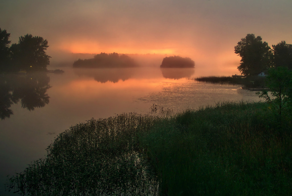
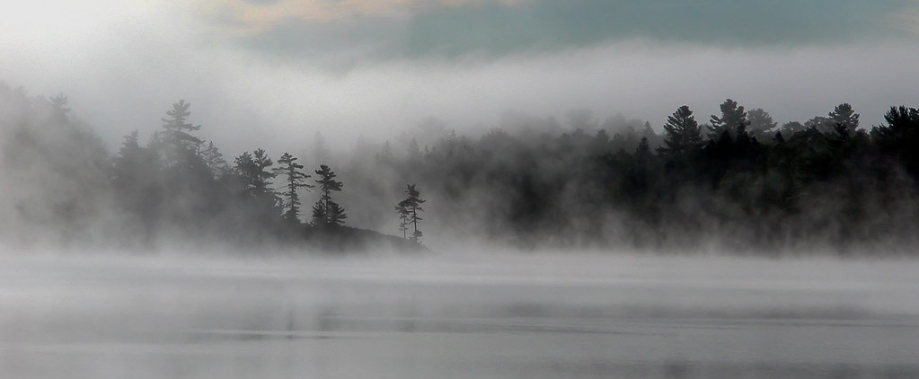
early mist
IMG_9386.jpg
IMG_9590.jpg
End of the Day
copper.morning
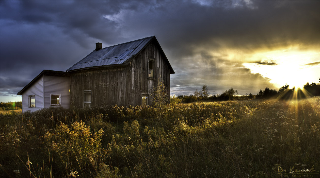
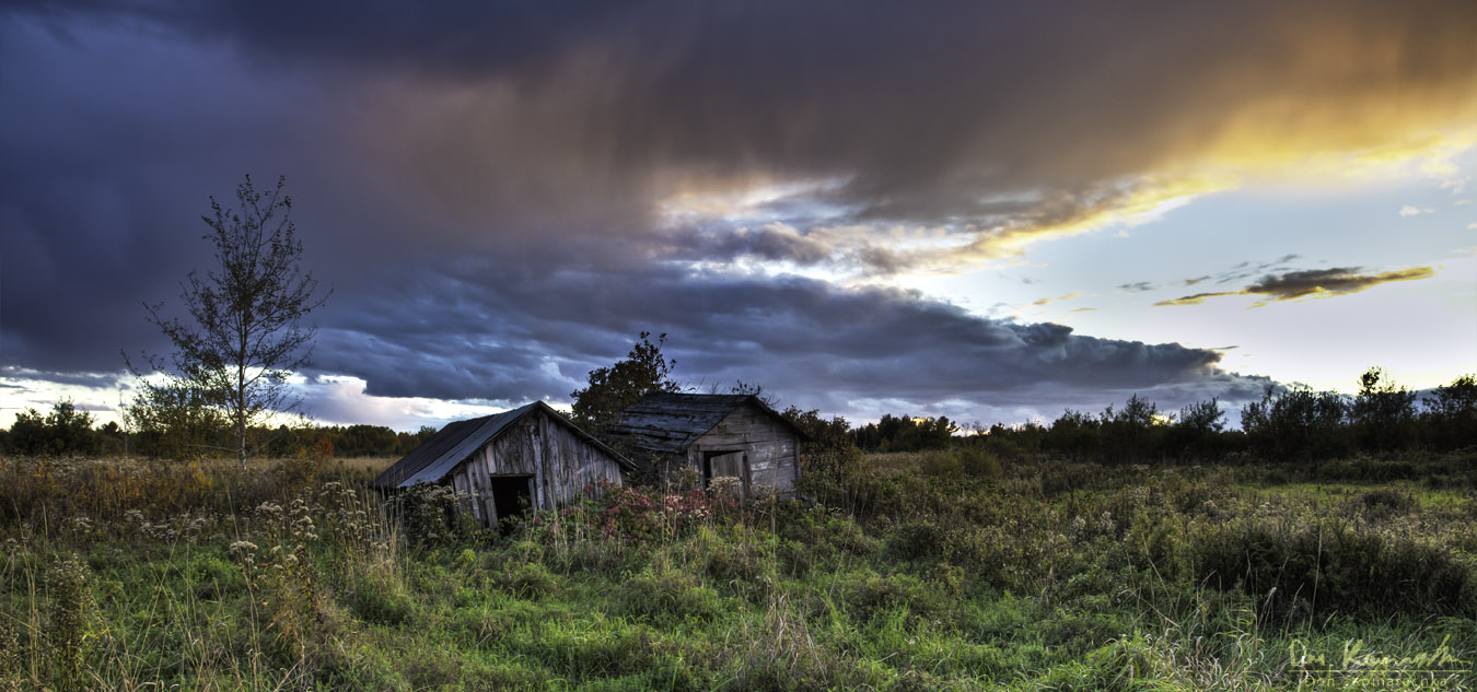
Abandoned, But Not Forgotten
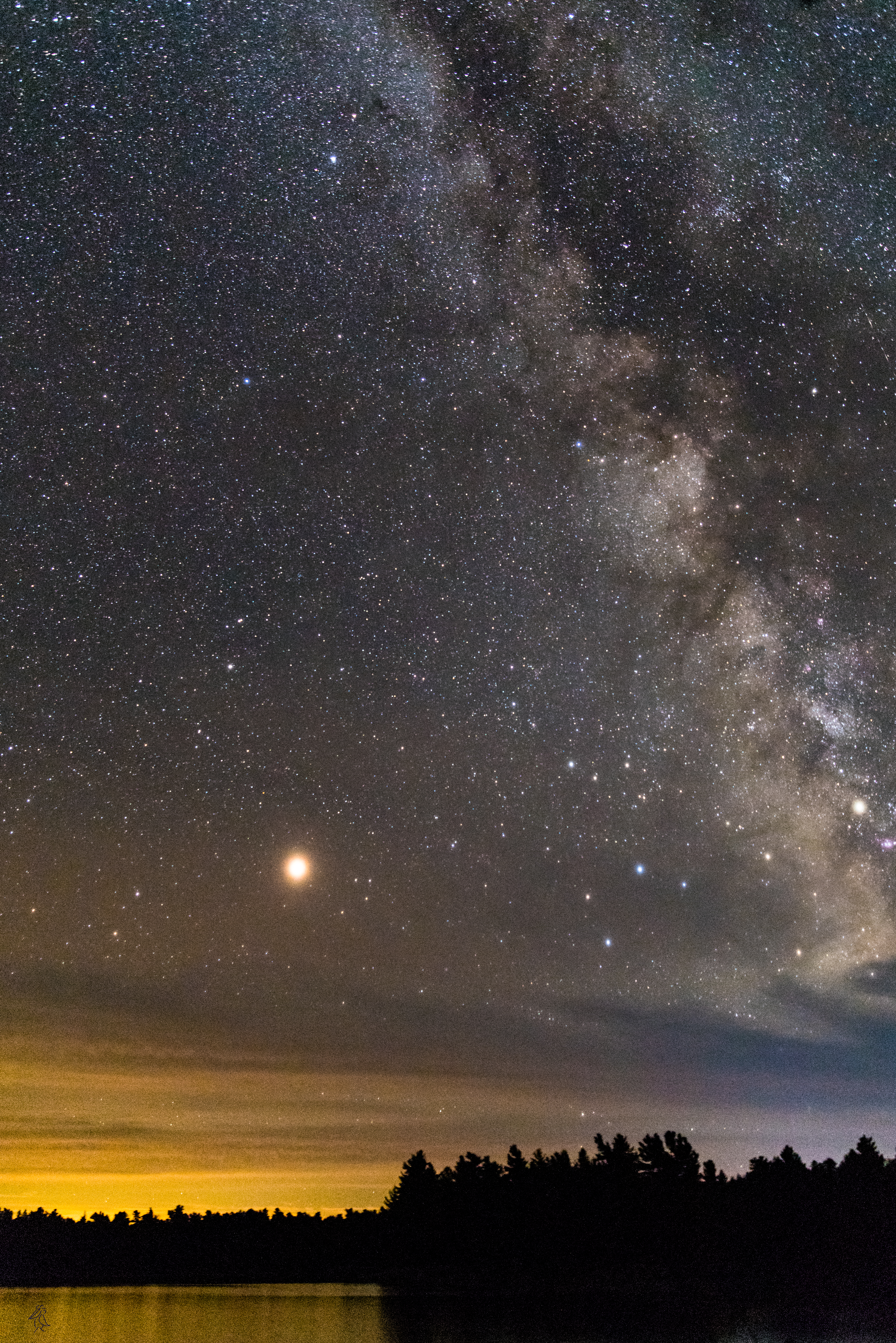
Mars rising
IMG_9570.jpg
IMG_9516.jpg
IMG_9588.jpg
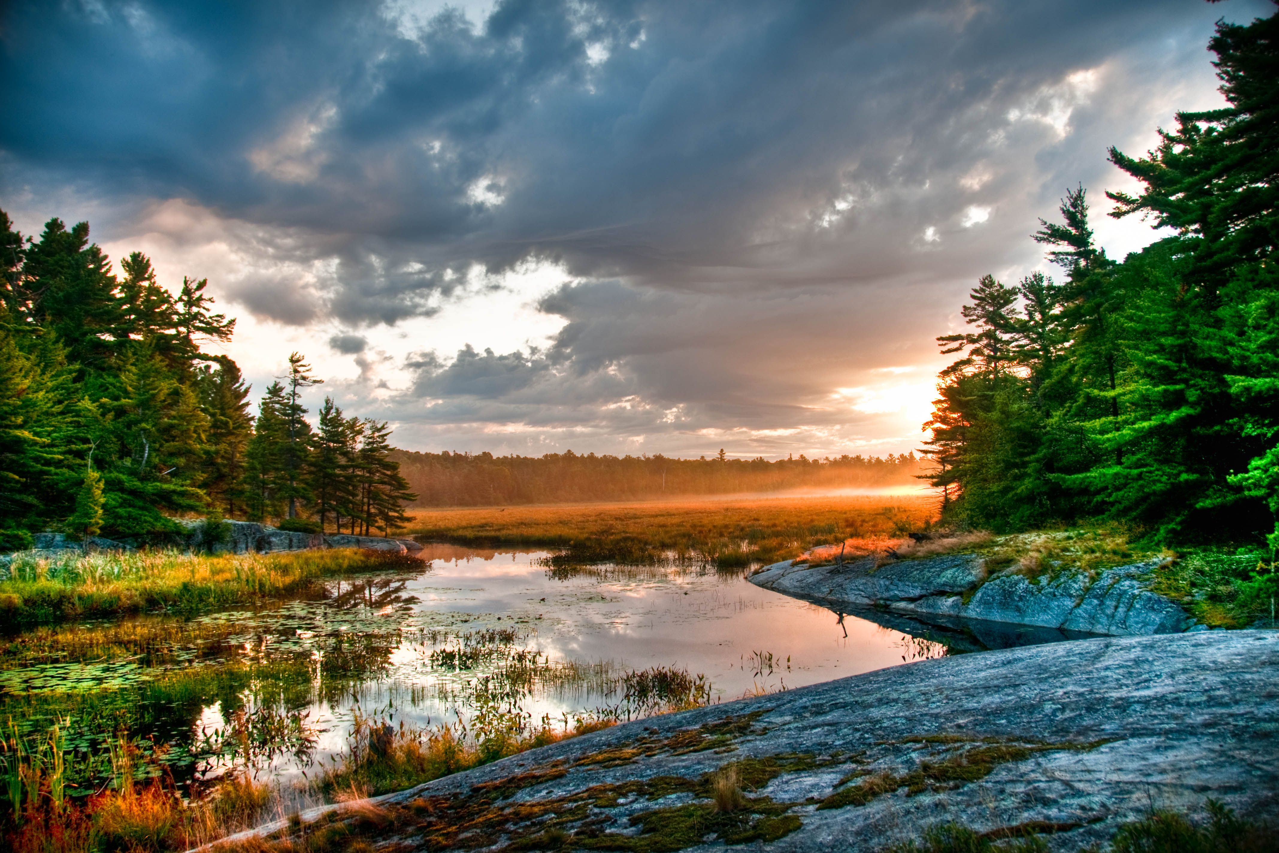
Sunset at Pakeshkag Lake Road, Grundy Lake Provincial Park
IMG_9492.jpg
IMG_9576.jpg
IMG_9431.jpg
IMG_9443.jpg
IMG_9582.jpg
IMG_9546.jpg
IMG_9606.jpg
IMG_9656.jpg

Grundy Lake-9941
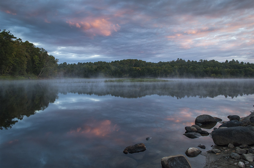
Grundy Misty Morning-1363
First Light
Morning Gift
Mapa de Dry Pine Bay, French River, ON, Canadá
Buscar otro lugar
Lugares cercanos
Eighteen Mile Bay, French River, ON, Canadá
French River, ON, Canadá
Hartley Bay Rd, Killarney, ON P0M, Canadá
French River, Ontario, Canadá
Green Bay Rd, Noëlville, ON P0M 2N0, Canadá
ON-64, French River, ON P0M, Canadá
Trans-Canada Hwy, Killarney, ON P0G, Canadá
Hartley Bay Rd, Killarney, ON P0M, Canadá
Trans-Canada Hwy, Killarney, ON P0M, Canadá
ON-64, Noëlville, ON P0M 2N0, Canadá
Parry Sound, Unorganized, Centre Part, ON, Canadá
ON-69, Parry Sound, Unorganized, Centre Part, ON P0G, Canadá
Casimir Rd, St.-Charles, ON P0M 2W0, Canadá
ON-A, Noëlville, ON P0M 2N0, Canadá
Saint-Charles, Ontario, Canadá
ON-A, Byng Inlet, ON P0G 1B0, Canadá
Port Loring, ON P0H 1Y0, Canadá
The Archipelago, ON, Canadá
Lavigne, West Nipissing, ON, Canadá
Manitoulin, Unorganized, Mainland, ON, Canadá
Búsquedas recientes
- Horas de salida y puesta de sol de Red Dog Mine, AK, USA
- Horas de salida y puesta de sol de Am Bahnhof, Am bhf, Borken, Germany
- Horas de salida y puesta de sol de 4th St E, Sonoma, CA, EE. UU.
- Horas de salida y puesta de sol de Oakland Ave, Williamsport, PA, EE. UU.
- Horas de salida y puesta de sol de Via Roma, Pieranica CR, Italia
- Horas de salida y puesta de sol de Torre del reloj, Grad, Dubrovnik (Ragusa), Croacia
- Horas de salida y puesta de sol de Trelew, Chubut, Argentina
- Horas de salida y puesta de sol de Hartfords Bluff Cir, Mt Pleasant, SC, EE. UU.
- Horas de salida y puesta de sol de Kita Ward, Kumamoto, Japón
- Horas de salida y puesta de sol de Pingtan Island, Pingtan County, Fuzhou, China