Horas de salida y puesta de sol de Condado de Douglas, Washington, EE. UU.
Location: Estados Unidos > Washington >
Zona horaria:
America/Los_Angeles
Hora local:
2025-06-17 05:29:43
Longitud:
-119.7474606
Latitud:
47.7790617
Salida de sol de hoy:
04:59:52 AM
Puesta de sol de hoy:
09:00:20 PM
La duración del día hoy:
16h 0m 28s
Salida de sol de mañana:
04:59:58 AM
Puesta de sol de mañana:
09:00:40 PM
La duración del día mañana:
16h 0m 42s
Mostrar todas las fechas
| Fecha | Salida de sol | Puesta de sol | Duración del día |
|---|---|---|---|
| 01/01/2025 | 07:47:41 AM | 04:18:44 PM | 8h 31m 3s |
| 02/01/2025 | 07:47:35 AM | 04:19:46 PM | 8h 32m 11s |
| 03/01/2025 | 07:47:25 AM | 04:20:49 PM | 8h 33m 24s |
| 04/01/2025 | 07:47:13 AM | 04:21:55 PM | 8h 34m 42s |
| 05/01/2025 | 07:46:58 AM | 04:23:03 PM | 8h 36m 5s |
| 06/01/2025 | 07:46:40 AM | 04:24:12 PM | 8h 37m 32s |
| 07/01/2025 | 07:46:19 AM | 04:25:24 PM | 8h 39m 5s |
| 08/01/2025 | 07:45:55 AM | 04:26:37 PM | 8h 40m 42s |
| 09/01/2025 | 07:45:29 AM | 04:27:52 PM | 8h 42m 23s |
| 10/01/2025 | 07:45:00 AM | 04:29:08 PM | 8h 44m 8s |
| 11/01/2025 | 07:44:28 AM | 04:30:26 PM | 8h 45m 58s |
| 12/01/2025 | 07:43:53 AM | 04:31:45 PM | 8h 47m 52s |
| 13/01/2025 | 07:43:16 AM | 04:33:06 PM | 8h 49m 50s |
| 14/01/2025 | 07:42:36 AM | 04:34:28 PM | 8h 51m 52s |
| 15/01/2025 | 07:41:53 AM | 04:35:51 PM | 8h 53m 58s |
| 16/01/2025 | 07:41:08 AM | 04:37:16 PM | 8h 56m 8s |
| 17/01/2025 | 07:40:21 AM | 04:38:41 PM | 8h 58m 20s |
| 18/01/2025 | 07:39:31 AM | 04:40:08 PM | 9h 0m 37s |
| 19/01/2025 | 07:38:38 AM | 04:41:35 PM | 9h 2m 57s |
| 20/01/2025 | 07:37:43 AM | 04:43:04 PM | 9h 5m 21s |
| 21/01/2025 | 07:36:46 AM | 04:44:33 PM | 9h 7m 47s |
| 22/01/2025 | 07:35:46 AM | 04:46:03 PM | 9h 10m 17s |
| 23/01/2025 | 07:34:44 AM | 04:47:34 PM | 9h 12m 50s |
| 24/01/2025 | 07:33:40 AM | 04:49:05 PM | 9h 15m 25s |
| 25/01/2025 | 07:32:34 AM | 04:50:37 PM | 9h 18m 3s |
| 26/01/2025 | 07:31:25 AM | 04:52:10 PM | 9h 20m 45s |
| 27/01/2025 | 07:30:15 AM | 04:53:43 PM | 9h 23m 28s |
| 28/01/2025 | 07:29:02 AM | 04:55:16 PM | 9h 26m 14s |
| 29/01/2025 | 07:27:47 AM | 04:56:50 PM | 9h 29m 3s |
| 30/01/2025 | 07:26:31 AM | 04:58:24 PM | 9h 31m 53s |
| 31/01/2025 | 07:25:12 AM | 04:59:59 PM | 9h 34m 47s |
| 01/02/2025 | 07:23:52 AM | 05:01:33 PM | 9h 37m 41s |
| 02/02/2025 | 07:22:29 AM | 05:03:08 PM | 9h 40m 39s |
| 03/02/2025 | 07:21:05 AM | 05:04:43 PM | 9h 43m 38s |
| 04/02/2025 | 07:19:40 AM | 05:06:18 PM | 9h 46m 38s |
| 05/02/2025 | 07:18:12 AM | 05:07:54 PM | 9h 49m 42s |
| 06/02/2025 | 07:16:43 AM | 05:09:29 PM | 9h 52m 46s |
| 07/02/2025 | 07:15:12 AM | 05:11:04 PM | 9h 55m 52s |
| 08/02/2025 | 07:13:40 AM | 05:12:40 PM | 9h 59m 0s |
| 09/02/2025 | 07:12:07 AM | 05:14:15 PM | 10h 2m 8s |
| 10/02/2025 | 07:10:31 AM | 05:15:50 PM | 10h 5m 19s |
| 11/02/2025 | 07:08:55 AM | 05:17:25 PM | 10h 8m 30s |
| 12/02/2025 | 07:07:17 AM | 05:19:00 PM | 10h 11m 43s |
| 13/02/2025 | 07:05:37 AM | 05:20:35 PM | 10h 14m 58s |
| 14/02/2025 | 07:03:57 AM | 05:22:09 PM | 10h 18m 12s |
| 15/02/2025 | 07:02:15 AM | 05:23:44 PM | 10h 21m 29s |
| 16/02/2025 | 07:00:32 AM | 05:25:18 PM | 10h 24m 46s |
| 17/02/2025 | 06:58:48 AM | 05:26:52 PM | 10h 28m 4s |
| 18/02/2025 | 06:57:02 AM | 05:28:26 PM | 10h 31m 24s |
| 19/02/2025 | 06:55:16 AM | 05:29:59 PM | 10h 34m 43s |
| 20/02/2025 | 06:53:28 AM | 05:31:33 PM | 10h 38m 5s |
| 21/02/2025 | 06:51:40 AM | 05:33:06 PM | 10h 41m 26s |
| 22/02/2025 | 06:49:50 AM | 05:34:39 PM | 10h 44m 49s |
| 23/02/2025 | 06:48:00 AM | 05:36:11 PM | 10h 48m 11s |
| 24/02/2025 | 06:46:09 AM | 05:37:43 PM | 10h 51m 34s |
| 25/02/2025 | 06:44:16 AM | 05:39:15 PM | 10h 54m 59s |
| 26/02/2025 | 06:42:23 AM | 05:40:47 PM | 10h 58m 24s |
| 27/02/2025 | 06:40:30 AM | 05:42:19 PM | 11h 1m 49s |
| 28/02/2025 | 06:38:35 AM | 05:43:50 PM | 11h 5m 15s |
| 01/03/2025 | 06:36:40 AM | 05:45:21 PM | 11h 8m 41s |
| 02/03/2025 | 06:34:44 AM | 05:46:51 PM | 11h 12m 7s |
| 03/03/2025 | 06:32:48 AM | 05:48:22 PM | 11h 15m 34s |
| 04/03/2025 | 06:30:50 AM | 05:49:52 PM | 11h 19m 2s |
| 05/03/2025 | 06:28:53 AM | 05:51:22 PM | 11h 22m 29s |
| 06/03/2025 | 06:26:55 AM | 05:52:51 PM | 11h 25m 56s |
| 07/03/2025 | 06:24:56 AM | 05:54:20 PM | 11h 29m 24s |
| 08/03/2025 | 06:22:57 AM | 05:55:49 PM | 11h 32m 52s |
| 09/03/2025 | 07:21:02 AM | 06:57:15 PM | 11h 36m 13s |
| 10/03/2025 | 07:19:02 AM | 06:58:43 PM | 11h 39m 41s |
| 11/03/2025 | 07:17:01 AM | 07:00:11 PM | 11h 43m 10s |
| 12/03/2025 | 07:15:01 AM | 07:01:40 PM | 11h 46m 39s |
| 13/03/2025 | 07:13:00 AM | 07:03:07 PM | 11h 50m 7s |
| 14/03/2025 | 07:10:58 AM | 07:04:35 PM | 11h 53m 37s |
| 15/03/2025 | 07:08:57 AM | 07:06:03 PM | 11h 57m 6s |
| 16/03/2025 | 07:06:55 AM | 07:07:30 PM | 12h 0m 35s |
| 17/03/2025 | 07:04:53 AM | 07:08:57 PM | 12h 4m 4s |
| 18/03/2025 | 07:02:51 AM | 07:10:24 PM | 12h 7m 33s |
| 19/03/2025 | 07:00:49 AM | 07:11:51 PM | 12h 11m 2s |
| 20/03/2025 | 06:58:46 AM | 07:13:18 PM | 12h 14m 32s |
| 21/03/2025 | 06:56:44 AM | 07:14:44 PM | 12h 18m 0s |
| 22/03/2025 | 06:54:41 AM | 07:16:11 PM | 12h 21m 30s |
| 23/03/2025 | 06:52:39 AM | 07:17:37 PM | 12h 24m 58s |
| 24/03/2025 | 06:50:37 AM | 07:19:03 PM | 12h 28m 26s |
| 25/03/2025 | 06:48:34 AM | 07:20:29 PM | 12h 31m 55s |
| 26/03/2025 | 06:46:32 AM | 07:21:55 PM | 12h 35m 23s |
| 27/03/2025 | 06:44:30 AM | 07:23:21 PM | 12h 38m 51s |
| 28/03/2025 | 06:42:28 AM | 07:24:47 PM | 12h 42m 19s |
| 29/03/2025 | 06:40:26 AM | 07:26:13 PM | 12h 45m 47s |
| 30/03/2025 | 06:38:25 AM | 07:27:38 PM | 12h 49m 13s |
| 31/03/2025 | 06:36:24 AM | 07:29:04 PM | 12h 52m 40s |
| 01/04/2025 | 06:34:23 AM | 07:30:30 PM | 12h 56m 7s |
| 02/04/2025 | 06:32:22 AM | 07:31:55 PM | 12h 59m 33s |
| 03/04/2025 | 06:30:22 AM | 07:33:21 PM | 13h 2m 59s |
| 04/04/2025 | 06:28:22 AM | 07:34:46 PM | 13h 6m 24s |
| 05/04/2025 | 06:26:22 AM | 07:36:12 PM | 13h 9m 50s |
| 06/04/2025 | 06:24:23 AM | 07:37:37 PM | 13h 13m 14s |
| 07/04/2025 | 06:22:25 AM | 07:39:03 PM | 13h 16m 38s |
| 08/04/2025 | 06:20:27 AM | 07:40:28 PM | 13h 20m 1s |
| 09/04/2025 | 06:18:29 AM | 07:41:54 PM | 13h 23m 25s |
| 10/04/2025 | 06:16:32 AM | 07:43:19 PM | 13h 26m 47s |
| 11/04/2025 | 06:14:36 AM | 07:44:45 PM | 13h 30m 9s |
| 12/04/2025 | 06:12:40 AM | 07:46:10 PM | 13h 33m 30s |
| 13/04/2025 | 06:10:45 AM | 07:47:35 PM | 13h 36m 50s |
| 14/04/2025 | 06:08:51 AM | 07:49:01 PM | 13h 40m 10s |
| 15/04/2025 | 06:06:57 AM | 07:50:26 PM | 13h 43m 29s |
| 16/04/2025 | 06:05:04 AM | 07:51:52 PM | 13h 46m 48s |
| 17/04/2025 | 06:03:12 AM | 07:53:17 PM | 13h 50m 5s |
| 18/04/2025 | 06:01:21 AM | 07:54:42 PM | 13h 53m 21s |
| 19/04/2025 | 05:59:31 AM | 07:56:07 PM | 13h 56m 36s |
| 20/04/2025 | 05:57:42 AM | 07:57:33 PM | 13h 59m 51s |
| 21/04/2025 | 05:55:53 AM | 07:58:58 PM | 14h 3m 5s |
| 22/04/2025 | 05:54:06 AM | 08:00:23 PM | 14h 6m 17s |
| 23/04/2025 | 05:52:19 AM | 08:01:48 PM | 14h 9m 29s |
| 24/04/2025 | 05:50:34 AM | 08:03:12 PM | 14h 12m 38s |
| 25/04/2025 | 05:48:50 AM | 08:04:37 PM | 14h 15m 47s |
| 26/04/2025 | 05:47:07 AM | 08:06:02 PM | 14h 18m 55s |
| 27/04/2025 | 05:45:25 AM | 08:07:26 PM | 14h 22m 1s |
| 28/04/2025 | 05:43:45 AM | 08:08:50 PM | 14h 25m 5s |
| 29/04/2025 | 05:42:05 AM | 08:10:14 PM | 14h 28m 9s |
| 30/04/2025 | 05:40:27 AM | 08:11:38 PM | 14h 31m 11s |
| 01/05/2025 | 05:38:51 AM | 08:13:01 PM | 14h 34m 10s |
| 02/05/2025 | 05:37:15 AM | 08:14:25 PM | 14h 37m 10s |
| 03/05/2025 | 05:35:41 AM | 08:15:47 PM | 14h 40m 6s |
| 04/05/2025 | 05:34:09 AM | 08:17:10 PM | 14h 43m 1s |
| 05/05/2025 | 05:32:38 AM | 08:18:32 PM | 14h 45m 54s |
| 06/05/2025 | 05:31:09 AM | 08:19:54 PM | 14h 48m 45s |
| 07/05/2025 | 05:29:41 AM | 08:21:15 PM | 14h 51m 34s |
| 08/05/2025 | 05:28:15 AM | 08:22:36 PM | 14h 54m 21s |
| 09/05/2025 | 05:26:50 AM | 08:23:56 PM | 14h 57m 6s |
| 10/05/2025 | 05:25:27 AM | 08:25:16 PM | 14h 59m 49s |
| 11/05/2025 | 05:24:06 AM | 08:26:35 PM | 15h 2m 29s |
| 12/05/2025 | 05:22:47 AM | 08:27:54 PM | 15h 5m 7s |
| 13/05/2025 | 05:21:30 AM | 08:29:11 PM | 15h 7m 41s |
| 14/05/2025 | 05:20:14 AM | 08:30:28 PM | 15h 10m 14s |
| 15/05/2025 | 05:19:00 AM | 08:31:45 PM | 15h 12m 45s |
| 16/05/2025 | 05:17:49 AM | 08:33:00 PM | 15h 15m 11s |
| 17/05/2025 | 05:16:39 AM | 08:34:15 PM | 15h 17m 36s |
| 18/05/2025 | 05:15:31 AM | 08:35:28 PM | 15h 19m 57s |
| 19/05/2025 | 05:14:26 AM | 08:36:41 PM | 15h 22m 15s |
| 20/05/2025 | 05:13:22 AM | 08:37:53 PM | 15h 24m 31s |
| 21/05/2025 | 05:12:21 AM | 08:39:03 PM | 15h 26m 42s |
| 22/05/2025 | 05:11:21 AM | 08:40:12 PM | 15h 28m 51s |
| 23/05/2025 | 05:10:25 AM | 08:41:21 PM | 15h 30m 56s |
| 24/05/2025 | 05:09:30 AM | 08:42:28 PM | 15h 32m 58s |
| 25/05/2025 | 05:08:37 AM | 08:43:33 PM | 15h 34m 56s |
| 26/05/2025 | 05:07:47 AM | 08:44:37 PM | 15h 36m 50s |
| 27/05/2025 | 05:06:59 AM | 08:45:40 PM | 15h 38m 41s |
| 28/05/2025 | 05:06:14 AM | 08:46:42 PM | 15h 40m 28s |
| 29/05/2025 | 05:05:31 AM | 08:47:41 PM | 15h 42m 10s |
| 30/05/2025 | 05:04:50 AM | 08:48:39 PM | 15h 43m 49s |
| 31/05/2025 | 05:04:12 AM | 08:49:36 PM | 15h 45m 24s |
| 01/06/2025 | 05:03:37 AM | 08:50:31 PM | 15h 46m 54s |
| 02/06/2025 | 05:03:04 AM | 08:51:24 PM | 15h 48m 20s |
| 03/06/2025 | 05:02:33 AM | 08:52:15 PM | 15h 49m 42s |
| 04/06/2025 | 05:02:05 AM | 08:53:05 PM | 15h 51m 0s |
| 05/06/2025 | 05:01:39 AM | 08:53:52 PM | 15h 52m 13s |
| 06/06/2025 | 05:01:16 AM | 08:54:37 PM | 15h 53m 21s |
| 07/06/2025 | 05:00:56 AM | 08:55:21 PM | 15h 54m 25s |
| 08/06/2025 | 05:00:38 AM | 08:56:02 PM | 15h 55m 24s |
| 09/06/2025 | 05:00:23 AM | 08:56:41 PM | 15h 56m 18s |
| 10/06/2025 | 05:00:11 AM | 08:57:18 PM | 15h 57m 7s |
| 11/06/2025 | 05:00:01 AM | 08:57:53 PM | 15h 57m 52s |
| 12/06/2025 | 04:59:53 AM | 08:58:26 PM | 15h 58m 33s |
| 13/06/2025 | 04:59:49 AM | 08:58:56 PM | 15h 59m 7s |
| 14/06/2025 | 04:59:46 AM | 08:59:24 PM | 15h 59m 38s |
| 15/06/2025 | 04:59:47 AM | 08:59:49 PM | 16h 0m 2s |
| 16/06/2025 | 04:59:50 AM | 09:00:12 PM | 16h 0m 22s |
| 17/06/2025 | 04:59:55 AM | 09:00:33 PM | 16h 0m 38s |
| 18/06/2025 | 05:00:04 AM | 09:00:51 PM | 16h 0m 47s |
| 19/06/2025 | 05:00:14 AM | 09:01:06 PM | 16h 0m 52s |
| 20/06/2025 | 05:00:27 AM | 09:01:19 PM | 16h 0m 52s |
| 21/06/2025 | 05:00:43 AM | 09:01:30 PM | 16h 0m 47s |
| 22/06/2025 | 05:01:01 AM | 09:01:37 PM | 16h 0m 36s |
| 23/06/2025 | 05:01:21 AM | 09:01:43 PM | 16h 0m 22s |
| 24/06/2025 | 05:01:44 AM | 09:01:45 PM | 16h 0m 1s |
| 25/06/2025 | 05:02:09 AM | 09:01:45 PM | 15h 59m 36s |
| 26/06/2025 | 05:02:37 AM | 09:01:43 PM | 15h 59m 6s |
| 27/06/2025 | 05:03:07 AM | 09:01:37 PM | 15h 58m 30s |
| 28/06/2025 | 05:03:39 AM | 09:01:30 PM | 15h 57m 51s |
| 29/06/2025 | 05:04:13 AM | 09:01:19 PM | 15h 57m 6s |
| 30/06/2025 | 05:04:49 AM | 09:01:06 PM | 15h 56m 17s |
| 01/07/2025 | 05:05:28 AM | 09:00:50 PM | 15h 55m 22s |
| 02/07/2025 | 05:06:08 AM | 09:00:31 PM | 15h 54m 23s |
| 03/07/2025 | 05:06:51 AM | 09:00:10 PM | 15h 53m 19s |
| 04/07/2025 | 05:07:35 AM | 08:59:46 PM | 15h 52m 11s |
| 05/07/2025 | 05:08:22 AM | 08:59:20 PM | 15h 50m 58s |
| 06/07/2025 | 05:09:10 AM | 08:58:51 PM | 15h 49m 41s |
| 07/07/2025 | 05:10:00 AM | 08:58:20 PM | 15h 48m 20s |
| 08/07/2025 | 05:10:52 AM | 08:57:45 PM | 15h 46m 53s |
| 09/07/2025 | 05:11:45 AM | 08:57:09 PM | 15h 45m 24s |
| 10/07/2025 | 05:12:40 AM | 08:56:30 PM | 15h 43m 50s |
| 11/07/2025 | 05:13:37 AM | 08:55:48 PM | 15h 42m 11s |
| 12/07/2025 | 05:14:35 AM | 08:55:04 PM | 15h 40m 29s |
| 13/07/2025 | 05:15:34 AM | 08:54:18 PM | 15h 38m 44s |
| 14/07/2025 | 05:16:35 AM | 08:53:29 PM | 15h 36m 54s |
| 15/07/2025 | 05:17:38 AM | 08:52:38 PM | 15h 35m 0s |
| 16/07/2025 | 05:18:41 AM | 08:51:44 PM | 15h 33m 3s |
| 17/07/2025 | 05:19:46 AM | 08:50:48 PM | 15h 31m 2s |
| 18/07/2025 | 05:20:52 AM | 08:49:50 PM | 15h 28m 58s |
| 19/07/2025 | 05:21:59 AM | 08:48:50 PM | 15h 26m 51s |
| 20/07/2025 | 05:23:07 AM | 08:47:47 PM | 15h 24m 40s |
| 21/07/2025 | 05:24:16 AM | 08:46:42 PM | 15h 22m 26s |
| 22/07/2025 | 05:25:27 AM | 08:45:36 PM | 15h 20m 9s |
| 23/07/2025 | 05:26:38 AM | 08:44:27 PM | 15h 17m 49s |
| 24/07/2025 | 05:27:49 AM | 08:43:16 PM | 15h 15m 27s |
| 25/07/2025 | 05:29:02 AM | 08:42:03 PM | 15h 13m 1s |
| 26/07/2025 | 05:30:16 AM | 08:40:48 PM | 15h 10m 32s |
| 27/07/2025 | 05:31:30 AM | 08:39:31 PM | 15h 8m 1s |
| 28/07/2025 | 05:32:45 AM | 08:38:13 PM | 15h 5m 28s |
| 29/07/2025 | 05:34:00 AM | 08:36:52 PM | 15h 2m 52s |
| 30/07/2025 | 05:35:16 AM | 08:35:30 PM | 15h 0m 14s |
| 31/07/2025 | 05:36:32 AM | 08:34:06 PM | 14h 57m 34s |
| 01/08/2025 | 05:37:49 AM | 08:32:40 PM | 14h 54m 51s |
| 02/08/2025 | 05:39:07 AM | 08:31:13 PM | 14h 52m 6s |
| 03/08/2025 | 05:40:25 AM | 08:29:44 PM | 14h 49m 19s |
| 04/08/2025 | 05:41:43 AM | 08:28:13 PM | 14h 46m 30s |
| 05/08/2025 | 05:43:02 AM | 08:26:41 PM | 14h 43m 39s |
| 06/08/2025 | 05:44:21 AM | 08:25:07 PM | 14h 40m 46s |
| 07/08/2025 | 05:45:40 AM | 08:23:32 PM | 14h 37m 52s |
| 08/08/2025 | 05:46:59 AM | 08:21:55 PM | 14h 34m 56s |
| 09/08/2025 | 05:48:19 AM | 08:20:17 PM | 14h 31m 58s |
| 10/08/2025 | 05:49:39 AM | 08:18:38 PM | 14h 28m 59s |
| 11/08/2025 | 05:50:59 AM | 08:16:58 PM | 14h 25m 59s |
| 12/08/2025 | 05:52:20 AM | 08:15:16 PM | 14h 22m 56s |
| 13/08/2025 | 05:53:40 AM | 08:13:33 PM | 14h 19m 53s |
| 14/08/2025 | 05:55:00 AM | 08:11:48 PM | 14h 16m 48s |
| 15/08/2025 | 05:56:21 AM | 08:10:03 PM | 14h 13m 42s |
| 16/08/2025 | 05:57:42 AM | 08:08:16 PM | 14h 10m 34s |
| 17/08/2025 | 05:59:03 AM | 08:06:29 PM | 14h 7m 26s |
| 18/08/2025 | 06:00:23 AM | 08:04:40 PM | 14h 4m 17s |
| 19/08/2025 | 06:01:44 AM | 08:02:50 PM | 14h 1m 6s |
| 20/08/2025 | 06:03:05 AM | 08:01:00 PM | 13h 57m 55s |
| 21/08/2025 | 06:04:26 AM | 07:59:08 PM | 13h 54m 42s |
| 22/08/2025 | 06:05:47 AM | 07:57:16 PM | 13h 51m 29s |
| 23/08/2025 | 06:07:08 AM | 07:55:22 PM | 13h 48m 14s |
| 24/08/2025 | 06:08:29 AM | 07:53:28 PM | 13h 44m 59s |
| 25/08/2025 | 06:09:50 AM | 07:51:33 PM | 13h 41m 43s |
| 26/08/2025 | 06:11:11 AM | 07:49:38 PM | 13h 38m 27s |
| 27/08/2025 | 06:12:32 AM | 07:47:41 PM | 13h 35m 9s |
| 28/08/2025 | 06:13:53 AM | 07:45:44 PM | 13h 31m 51s |
| 29/08/2025 | 06:15:13 AM | 07:43:46 PM | 13h 28m 33s |
| 30/08/2025 | 06:16:34 AM | 07:41:48 PM | 13h 25m 14s |
| 31/08/2025 | 06:17:55 AM | 07:39:49 PM | 13h 21m 54s |
| 01/09/2025 | 06:19:16 AM | 07:37:50 PM | 13h 18m 34s |
| 02/09/2025 | 06:20:37 AM | 07:35:50 PM | 13h 15m 13s |
| 03/09/2025 | 06:21:57 AM | 07:33:49 PM | 13h 11m 52s |
| 04/09/2025 | 06:23:18 AM | 07:31:48 PM | 13h 8m 30s |
| 05/09/2025 | 06:24:39 AM | 07:29:47 PM | 13h 5m 8s |
| 06/09/2025 | 06:26:00 AM | 07:27:45 PM | 13h 1m 45s |
| 07/09/2025 | 06:27:20 AM | 07:25:43 PM | 12h 58m 23s |
| 08/09/2025 | 06:28:41 AM | 07:23:40 PM | 12h 54m 59s |
| 09/09/2025 | 06:30:02 AM | 07:21:37 PM | 12h 51m 35s |
| 10/09/2025 | 06:31:23 AM | 07:19:34 PM | 12h 48m 11s |
| 11/09/2025 | 06:32:44 AM | 07:17:31 PM | 12h 44m 47s |
| 12/09/2025 | 06:34:05 AM | 07:15:27 PM | 12h 41m 22s |
| 13/09/2025 | 06:35:26 AM | 07:13:24 PM | 12h 37m 58s |
| 14/09/2025 | 06:36:47 AM | 07:11:20 PM | 12h 34m 33s |
| 15/09/2025 | 06:38:08 AM | 07:09:16 PM | 12h 31m 8s |
| 16/09/2025 | 06:39:29 AM | 07:07:12 PM | 12h 27m 43s |
| 17/09/2025 | 06:40:50 AM | 07:05:08 PM | 12h 24m 18s |
| 18/09/2025 | 06:42:11 AM | 07:03:04 PM | 12h 20m 53s |
| 19/09/2025 | 06:43:33 AM | 07:00:59 PM | 12h 17m 26s |
| 20/09/2025 | 06:44:55 AM | 06:58:55 PM | 12h 14m 0s |
| 21/09/2025 | 06:46:16 AM | 06:56:51 PM | 12h 10m 35s |
| 22/09/2025 | 06:47:38 AM | 06:54:47 PM | 12h 7m 9s |
| 23/09/2025 | 06:49:00 AM | 06:52:43 PM | 12h 3m 43s |
| 24/09/2025 | 06:50:22 AM | 06:50:40 PM | 12h 0m 18s |
| 25/09/2025 | 06:51:45 AM | 06:48:36 PM | 11h 56m 51s |
| 26/09/2025 | 06:53:07 AM | 06:46:33 PM | 11h 53m 26s |
| 27/09/2025 | 06:54:30 AM | 06:44:30 PM | 11h 50m 0s |
| 28/09/2025 | 06:55:53 AM | 06:42:27 PM | 11h 46m 34s |
| 29/09/2025 | 06:57:16 AM | 06:40:24 PM | 11h 43m 8s |
| 30/09/2025 | 06:58:40 AM | 06:38:22 PM | 11h 39m 42s |
| 01/10/2025 | 07:00:03 AM | 06:36:20 PM | 11h 36m 17s |
| 02/10/2025 | 07:01:27 AM | 06:34:19 PM | 11h 32m 52s |
| 03/10/2025 | 07:02:51 AM | 06:32:18 PM | 11h 29m 27s |
| 04/10/2025 | 07:04:16 AM | 06:30:17 PM | 11h 26m 1s |
| 05/10/2025 | 07:05:40 AM | 06:28:17 PM | 11h 22m 37s |
| 06/10/2025 | 07:07:05 AM | 06:26:18 PM | 11h 19m 13s |
| 07/10/2025 | 07:08:31 AM | 06:24:19 PM | 11h 15m 48s |
| 08/10/2025 | 07:09:56 AM | 06:22:21 PM | 11h 12m 25s |
| 09/10/2025 | 07:11:22 AM | 06:20:23 PM | 11h 9m 1s |
| 10/10/2025 | 07:12:48 AM | 06:18:26 PM | 11h 5m 38s |
| 11/10/2025 | 07:14:15 AM | 06:16:30 PM | 11h 2m 15s |
| 12/10/2025 | 07:15:41 AM | 06:14:34 PM | 10h 58m 53s |
| 13/10/2025 | 07:17:08 AM | 06:12:39 PM | 10h 55m 31s |
| 14/10/2025 | 07:18:36 AM | 06:10:45 PM | 10h 52m 9s |
| 15/10/2025 | 07:20:03 AM | 06:08:52 PM | 10h 48m 49s |
| 16/10/2025 | 07:21:31 AM | 06:07:00 PM | 10h 45m 29s |
| 17/10/2025 | 07:22:59 AM | 06:05:08 PM | 10h 42m 9s |
| 18/10/2025 | 07:24:28 AM | 06:03:18 PM | 10h 38m 50s |
| 19/10/2025 | 07:25:57 AM | 06:01:28 PM | 10h 35m 31s |
| 20/10/2025 | 07:27:26 AM | 05:59:40 PM | 10h 32m 14s |
| 21/10/2025 | 07:28:55 AM | 05:57:52 PM | 10h 28m 57s |
| 22/10/2025 | 07:30:25 AM | 05:56:06 PM | 10h 25m 41s |
| 23/10/2025 | 07:31:54 AM | 05:54:21 PM | 10h 22m 27s |
| 24/10/2025 | 07:33:25 AM | 05:52:37 PM | 10h 19m 12s |
| 25/10/2025 | 07:34:55 AM | 05:50:54 PM | 10h 15m 59s |
| 26/10/2025 | 07:36:25 AM | 05:49:13 PM | 10h 12m 48s |
| 27/10/2025 | 07:37:56 AM | 05:47:32 PM | 10h 9m 36s |
| 28/10/2025 | 07:39:27 AM | 05:45:54 PM | 10h 6m 27s |
| 29/10/2025 | 07:40:58 AM | 05:44:16 PM | 10h 3m 18s |
| 30/10/2025 | 07:42:29 AM | 05:42:40 PM | 10h 0m 11s |
| 31/10/2025 | 07:44:01 AM | 05:41:06 PM | 9h 57m 5s |
| 01/11/2025 | 07:45:32 AM | 05:39:33 PM | 9h 54m 1s |
| 02/11/2025 | 06:47:07 AM | 04:37:58 PM | 9h 50m 51s |
| 03/11/2025 | 06:48:39 AM | 04:36:28 PM | 9h 47m 49s |
| 04/11/2025 | 06:50:10 AM | 04:35:00 PM | 9h 44m 50s |
| 05/11/2025 | 06:51:42 AM | 04:33:33 PM | 9h 41m 51s |
| 06/11/2025 | 06:53:13 AM | 04:32:09 PM | 9h 38m 56s |
| 07/11/2025 | 06:54:44 AM | 04:30:46 PM | 9h 36m 2s |
| 08/11/2025 | 06:56:16 AM | 04:29:25 PM | 9h 33m 9s |
| 09/11/2025 | 06:57:46 AM | 04:28:06 PM | 9h 30m 20s |
| 10/11/2025 | 06:59:17 AM | 04:26:49 PM | 9h 27m 32s |
| 11/11/2025 | 07:00:48 AM | 04:25:33 PM | 9h 24m 45s |
| 12/11/2025 | 07:02:18 AM | 04:24:20 PM | 9h 22m 2s |
| 13/11/2025 | 07:03:47 AM | 04:23:09 PM | 9h 19m 22s |
| 14/11/2025 | 07:05:17 AM | 04:22:00 PM | 9h 16m 43s |
| 15/11/2025 | 07:06:45 AM | 04:20:53 PM | 9h 14m 8s |
| 16/11/2025 | 07:08:14 AM | 04:19:49 PM | 9h 11m 35s |
| 17/11/2025 | 07:09:41 AM | 04:18:46 PM | 9h 9m 5s |
| 18/11/2025 | 07:11:08 AM | 04:17:46 PM | 9h 6m 38s |
| 19/11/2025 | 07:12:35 AM | 04:16:49 PM | 9h 4m 14s |
| 20/11/2025 | 07:14:00 AM | 04:15:53 PM | 9h 1m 53s |
| 21/11/2025 | 07:15:25 AM | 04:15:01 PM | 8h 59m 36s |
| 22/11/2025 | 07:16:48 AM | 04:14:10 PM | 8h 57m 22s |
| 23/11/2025 | 07:18:11 AM | 04:13:22 PM | 8h 55m 11s |
| 24/11/2025 | 07:19:33 AM | 04:12:37 PM | 8h 53m 4s |
| 25/11/2025 | 07:20:54 AM | 04:11:54 PM | 8h 51m 0s |
| 26/11/2025 | 07:22:13 AM | 04:11:14 PM | 8h 49m 1s |
| 27/11/2025 | 07:23:31 AM | 04:10:37 PM | 8h 47m 6s |
| 28/11/2025 | 07:24:48 AM | 04:10:02 PM | 8h 45m 14s |
| 29/11/2025 | 07:26:04 AM | 04:09:30 PM | 8h 43m 26s |
| 30/11/2025 | 07:27:18 AM | 04:09:01 PM | 8h 41m 43s |
| 01/12/2025 | 07:28:30 AM | 04:08:34 PM | 8h 40m 4s |
| 02/12/2025 | 07:29:41 AM | 04:08:11 PM | 8h 38m 30s |
| 03/12/2025 | 07:30:51 AM | 04:07:50 PM | 8h 36m 59s |
| 04/12/2025 | 07:31:58 AM | 04:07:32 PM | 8h 35m 34s |
| 05/12/2025 | 07:33:04 AM | 04:07:17 PM | 8h 34m 13s |
| 06/12/2025 | 07:34:08 AM | 04:07:05 PM | 8h 32m 57s |
| 07/12/2025 | 07:35:10 AM | 04:06:56 PM | 8h 31m 46s |
| 08/12/2025 | 07:36:09 AM | 04:06:50 PM | 8h 30m 41s |
| 09/12/2025 | 07:37:07 AM | 04:06:46 PM | 8h 29m 39s |
| 10/12/2025 | 07:38:03 AM | 04:06:46 PM | 8h 28m 43s |
| 11/12/2025 | 07:38:56 AM | 04:06:48 PM | 8h 27m 52s |
| 12/12/2025 | 07:39:47 AM | 04:06:54 PM | 8h 27m 7s |
| 13/12/2025 | 07:40:36 AM | 04:07:02 PM | 8h 26m 26s |
| 14/12/2025 | 07:41:23 AM | 04:07:14 PM | 8h 25m 51s |
| 15/12/2025 | 07:42:07 AM | 04:07:28 PM | 8h 25m 21s |
| 16/12/2025 | 07:42:48 AM | 04:07:45 PM | 8h 24m 57s |
| 17/12/2025 | 07:43:27 AM | 04:08:05 PM | 8h 24m 38s |
| 18/12/2025 | 07:44:03 AM | 04:08:28 PM | 8h 24m 25s |
| 19/12/2025 | 07:44:37 AM | 04:08:54 PM | 8h 24m 17s |
| 20/12/2025 | 07:45:08 AM | 04:09:22 PM | 8h 24m 14s |
| 21/12/2025 | 07:45:36 AM | 04:09:54 PM | 8h 24m 18s |
| 22/12/2025 | 07:46:02 AM | 04:10:28 PM | 8h 24m 26s |
| 23/12/2025 | 07:46:25 AM | 04:11:04 PM | 8h 24m 39s |
| 24/12/2025 | 07:46:45 AM | 04:11:44 PM | 8h 24m 59s |
| 25/12/2025 | 07:47:02 AM | 04:12:26 PM | 8h 25m 24s |
| 26/12/2025 | 07:47:16 AM | 04:13:11 PM | 8h 25m 55s |
| 27/12/2025 | 07:47:28 AM | 04:13:58 PM | 8h 26m 30s |
| 28/12/2025 | 07:47:37 AM | 04:14:47 PM | 8h 27m 10s |
| 29/12/2025 | 07:47:42 AM | 04:15:39 PM | 8h 27m 57s |
| 30/12/2025 | 07:47:45 AM | 04:16:34 PM | 8h 28m 49s |
| 31/12/2025 | 07:47:45 AM | 04:17:30 PM | 8h 29m 45s |
Fotos

Yeager Rock, WA
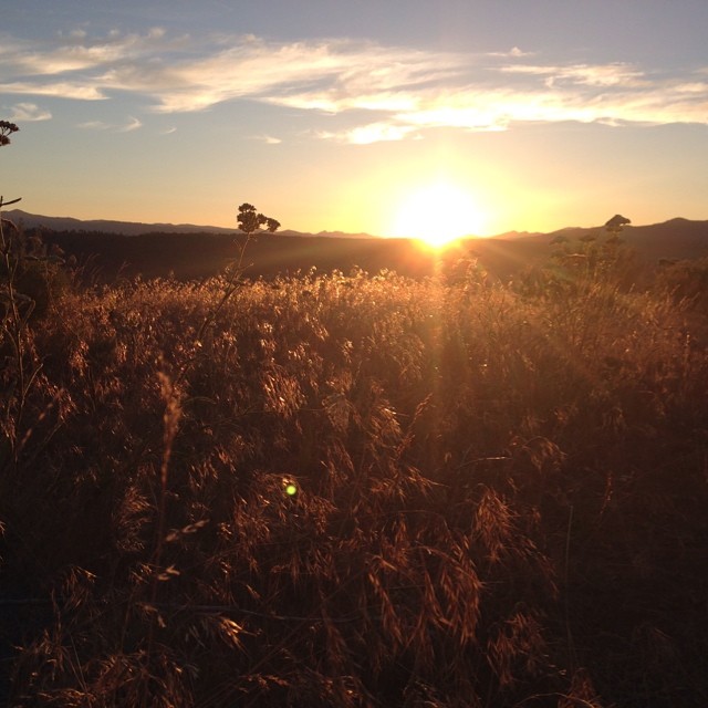
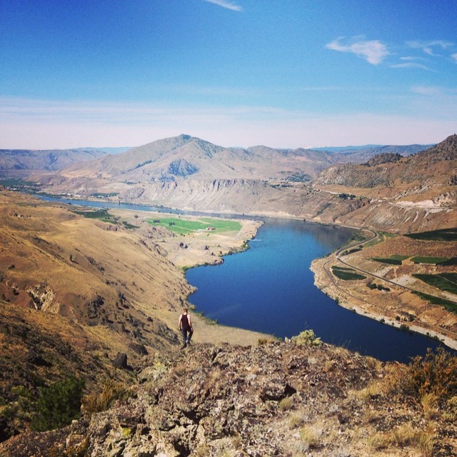
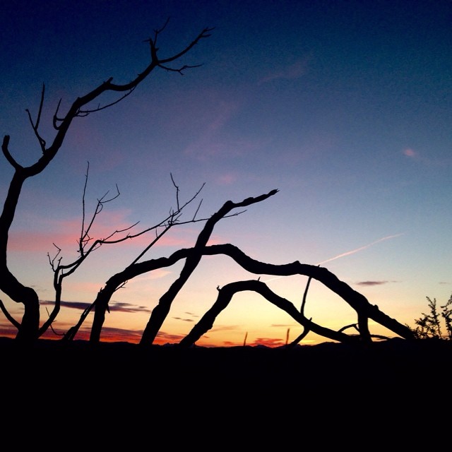
Almost there! #solstice #nofilter

Jameson Lake

Yeager Rock, WA

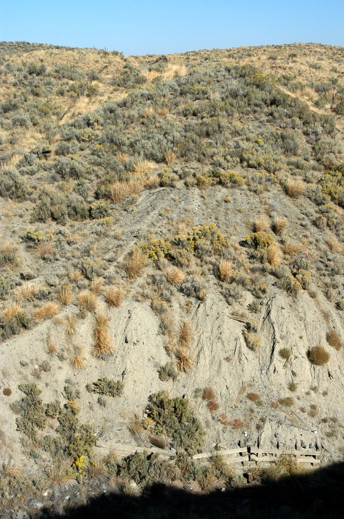
Glacial erratics, Douglas County, WA

Glacial erratics, Douglas County, WA
Mansfield Branch: looking east across a stream gully
Withrow, Washington (and the Withrow Moraine in the background)
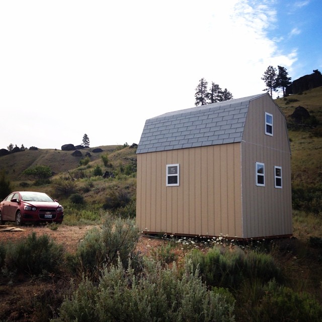
Our little cabin! People always say, "But the windows are tiny!" To which we respond, "If you want a view, walk out the door, silly!"
Exploring the bluffs. Scared away a handful of deer, scouting for good lookouts while traipsing through the sage and grasses.

Worn Out

Rust and Wheat

still truckin along
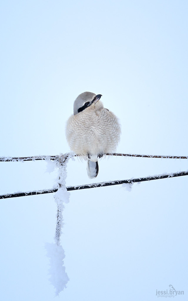
Northern Shrike - COLD!
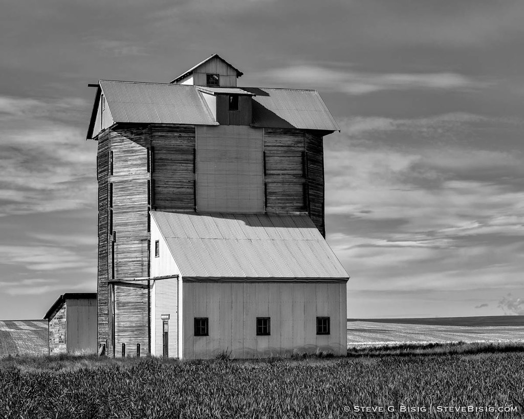
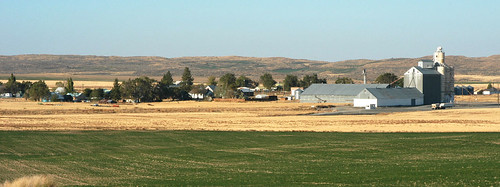
Grain Elevator, N Division Rd, Douglas County, Washington, May 2013

Lonely Road - N Division RD, Douglas County, WA (May 2013)
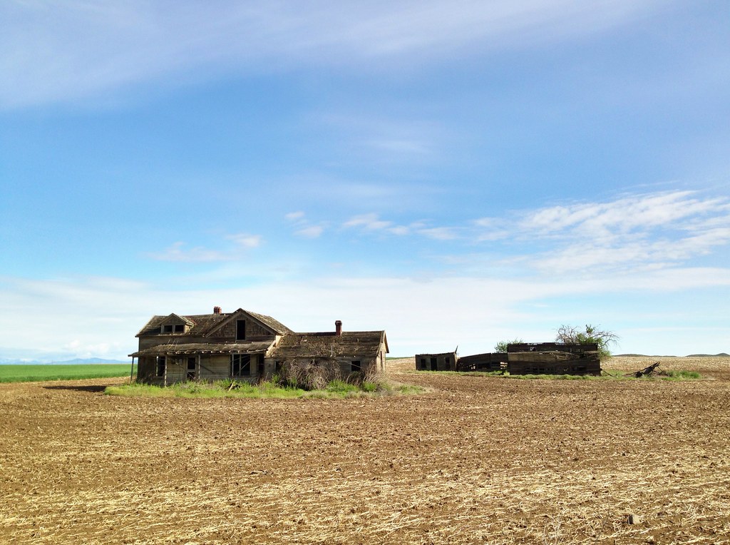
Abandoned Farm - Withrow, WA (May 2013)

Line of glacier erratics in Douglas County, WA

01192012 069 View from Withrow
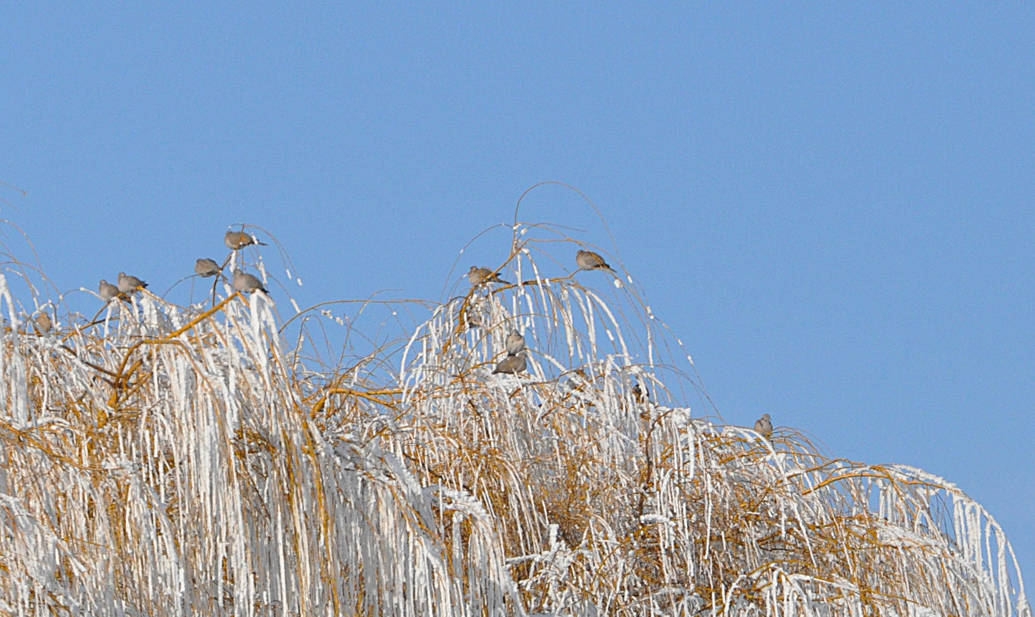
01192012 067a Eurasian Collared Doves
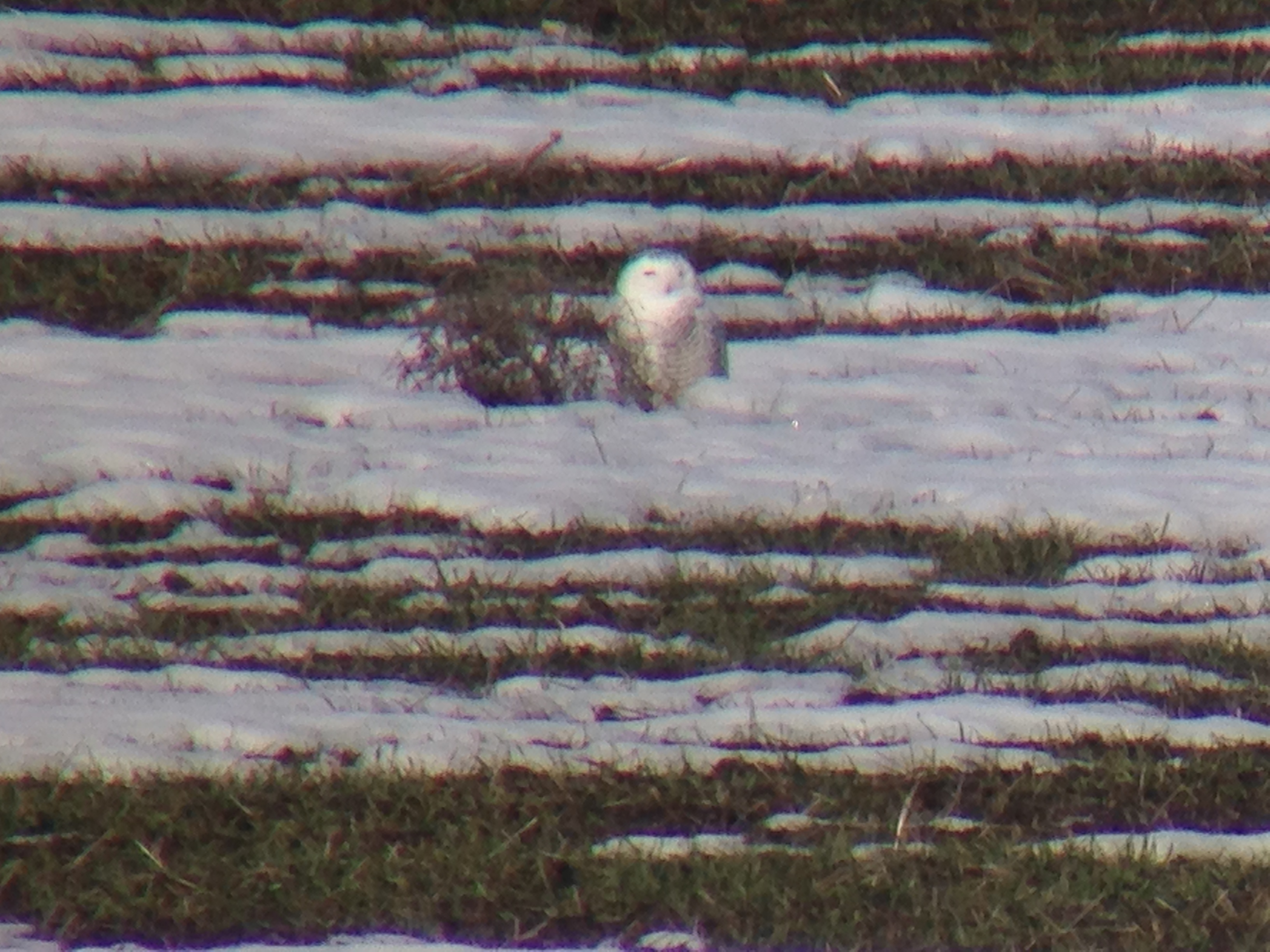
Snowy Owl
Sadly, credit for this photo goes entirely to Justin, but I've been given permission to post it on his behalf. :-)

Ever vigilant.
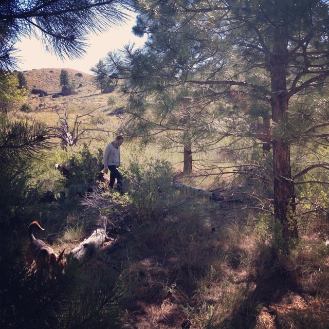
On walkabout. Exploring the gully on our property with a stand of pines and deer vertebrae.
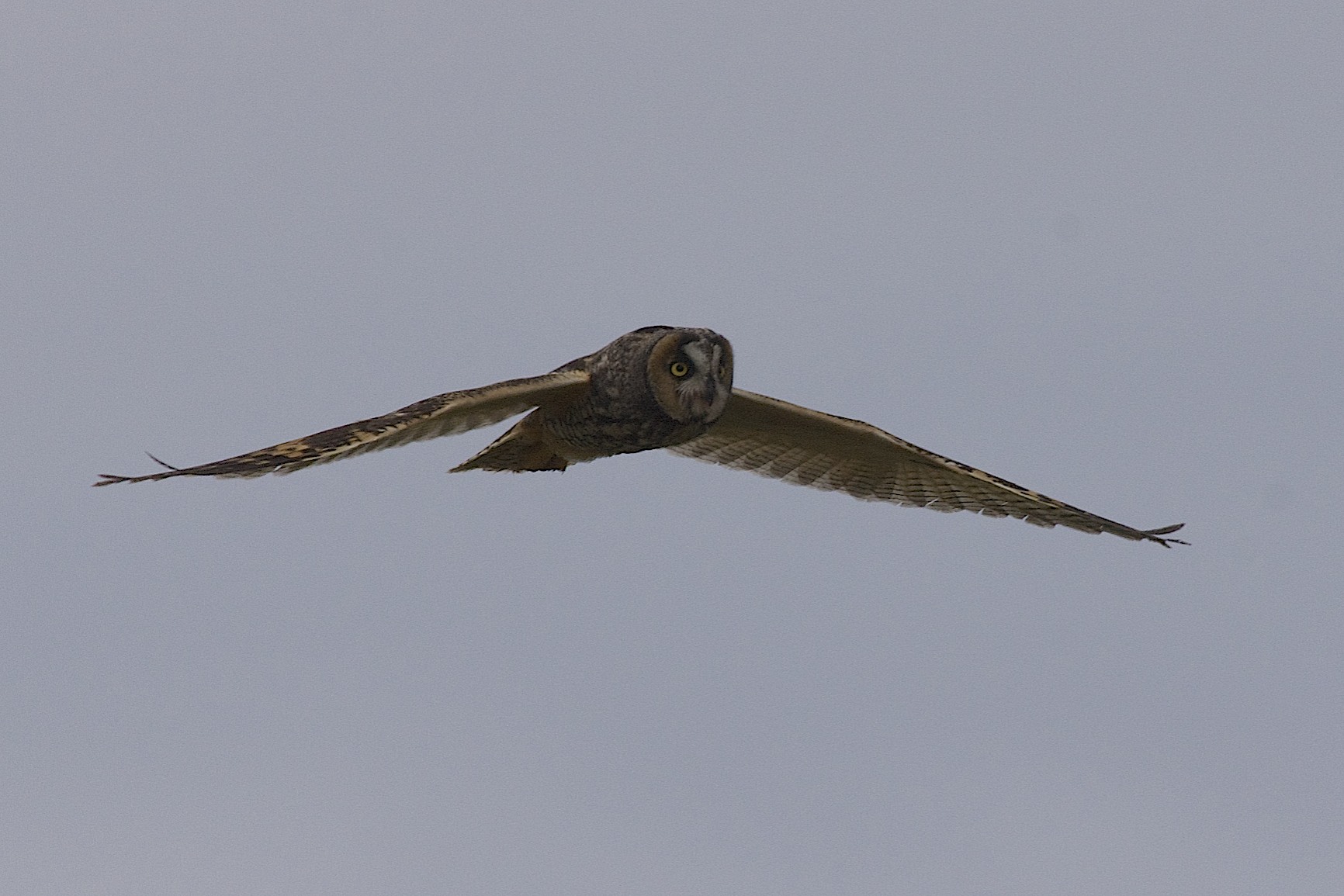
Long-eared Owl_DSC07745
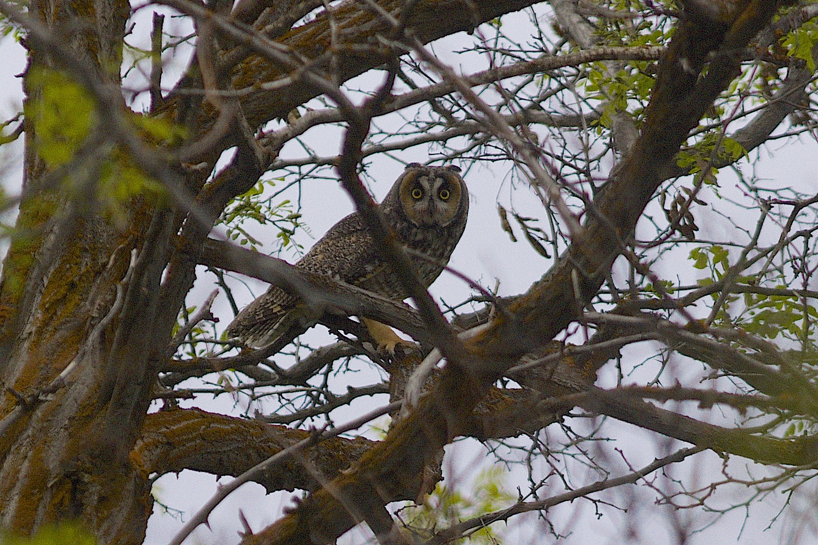
Long-eared Owl_DSC07735
Mapa de Condado de Douglas, Washington, EE. UU.
Buscar otro lugar
lugares en Condado de Douglas, Washington, EE. UU.
East Wenatchee, Washington, EE. UU.
Mansfield, Washington, EE. UU.
Palisades, WA, EE. UU.
Bridgeport, Washington, EE. UU.
Waterville, Washington, EE. UU.
Withrow, Washington, EE. UU.
Orondo, Washington, EE. UU.
Lugares cercanos
Rd 9 5 NE, Mansfield, WA, EE. UU.
1st Ave, Waterville, WA, EE. UU.
Withrow, Washington, EE. UU.
Mansfield, Washington, EE. UU.
Beebe Bridge Park, US-97, Orondo, WA, EE. UU.
2nd St, Chelan Falls, WA, EE. UU.
Chelan Falls, WA, EE. UU.
1st St, Chelan Falls, WA, EE. UU.
Alstown, WA, EE. UU.
E Birch St, Waterville, WA, EE. UU.
E Locust St, Waterville, WA, EE. UU.
Waterville, Washington, EE. UU.
Palisades, WA, EE. UU.
South Road Northwest, S Rd NW, Washington, EE. UU.
W Emerson Dr, Orondo, WA, EE. UU.
Palisades Rd, Palisades, WA, EE. UU.
Blue Jay Rd, East Wenatchee, WA, EE. UU.
Ephrata, Washington, EE. UU.
Wild Turkey Rd, East Wenatchee, WA, EE. UU.
Entiat, Washington, EE. UU.
Búsquedas recientes
- Horas de salida y puesta de sol de Red Dog Mine, AK, USA
- Horas de salida y puesta de sol de Am Bahnhof, Am bhf, Borken, Germany
- Horas de salida y puesta de sol de 4th St E, Sonoma, CA, EE. UU.
- Horas de salida y puesta de sol de Oakland Ave, Williamsport, PA, EE. UU.
- Horas de salida y puesta de sol de Via Roma, Pieranica CR, Italia
- Horas de salida y puesta de sol de Torre del reloj, Grad, Dubrovnik (Ragusa), Croacia
- Horas de salida y puesta de sol de Trelew, Chubut, Argentina
- Horas de salida y puesta de sol de Hartfords Bluff Cir, Mt Pleasant, SC, EE. UU.
- Horas de salida y puesta de sol de Kita Ward, Kumamoto, Japón
- Horas de salida y puesta de sol de Pingtan Island, Pingtan County, Fuzhou, China