Horas de salida y puesta de sol de County Road North, County Rd N, Rockport, IN, EE. UU.
Location: Estados Unidos > Indiana > Condado de Spencer > Municipio de Ohio >
Zona horaria:
America/Chicago
Hora local:
2025-06-21 18:31:28
Longitud:
-87.057148
Latitud:
37.9376927
Salida de sol de hoy:
05:26:28 AM
Puesta de sol de hoy:
08:14:21 PM
La duración del día hoy:
14h 47m 53s
Salida de sol de mañana:
05:26:45 AM
Puesta de sol de mañana:
08:14:30 PM
La duración del día mañana:
14h 47m 45s
Mostrar todas las fechas
| Fecha | Salida de sol | Puesta de sol | Duración del día |
|---|---|---|---|
| 01/01/2025 | 07:04:10 AM | 04:40:34 PM | 9h 36m 24s |
| 02/01/2025 | 07:04:15 AM | 04:41:24 PM | 9h 37m 9s |
| 03/01/2025 | 07:04:18 AM | 04:42:16 PM | 9h 37m 58s |
| 04/01/2025 | 07:04:19 AM | 04:43:08 PM | 9h 38m 49s |
| 05/01/2025 | 07:04:18 AM | 04:44:02 PM | 9h 39m 44s |
| 06/01/2025 | 07:04:15 AM | 04:44:57 PM | 9h 40m 42s |
| 07/01/2025 | 07:04:10 AM | 04:45:53 PM | 9h 41m 43s |
| 08/01/2025 | 07:04:03 AM | 04:46:50 PM | 9h 42m 47s |
| 09/01/2025 | 07:03:53 AM | 04:47:48 PM | 9h 43m 55s |
| 10/01/2025 | 07:03:42 AM | 04:48:46 PM | 9h 45m 4s |
| 11/01/2025 | 07:03:28 AM | 04:49:46 PM | 9h 46m 18s |
| 12/01/2025 | 07:03:13 AM | 04:50:47 PM | 9h 47m 34s |
| 13/01/2025 | 07:02:55 AM | 04:51:48 PM | 9h 48m 53s |
| 14/01/2025 | 07:02:35 AM | 04:52:50 PM | 9h 50m 15s |
| 15/01/2025 | 07:02:14 AM | 04:53:53 PM | 9h 51m 39s |
| 16/01/2025 | 07:01:50 AM | 04:54:56 PM | 9h 53m 6s |
| 17/01/2025 | 07:01:24 AM | 04:56:00 PM | 9h 54m 36s |
| 18/01/2025 | 07:00:57 AM | 04:57:04 PM | 9h 56m 7s |
| 19/01/2025 | 07:00:27 AM | 04:58:09 PM | 9h 57m 42s |
| 20/01/2025 | 06:59:55 AM | 04:59:15 PM | 9h 59m 20s |
| 21/01/2025 | 06:59:22 AM | 05:00:20 PM | 10h 0m 58s |
| 22/01/2025 | 06:58:46 AM | 05:01:26 PM | 10h 2m 40s |
| 23/01/2025 | 06:58:09 AM | 05:02:33 PM | 10h 4m 24s |
| 24/01/2025 | 06:57:30 AM | 05:03:39 PM | 10h 6m 9s |
| 25/01/2025 | 06:56:49 AM | 05:04:46 PM | 10h 7m 57s |
| 26/01/2025 | 06:56:06 AM | 05:05:53 PM | 10h 9m 47s |
| 27/01/2025 | 06:55:22 AM | 05:07:00 PM | 10h 11m 38s |
| 28/01/2025 | 06:54:36 AM | 05:08:08 PM | 10h 13m 32s |
| 29/01/2025 | 06:53:48 AM | 05:09:15 PM | 10h 15m 27s |
| 30/01/2025 | 06:52:58 AM | 05:10:22 PM | 10h 17m 24s |
| 31/01/2025 | 06:52:07 AM | 05:11:30 PM | 10h 19m 23s |
| 01/02/2025 | 06:51:14 AM | 05:12:37 PM | 10h 21m 23s |
| 02/02/2025 | 06:50:20 AM | 05:13:44 PM | 10h 23m 24s |
| 03/02/2025 | 06:49:24 AM | 05:14:52 PM | 10h 25m 28s |
| 04/02/2025 | 06:48:26 AM | 05:15:59 PM | 10h 27m 33s |
| 05/02/2025 | 06:47:27 AM | 05:17:06 PM | 10h 29m 39s |
| 06/02/2025 | 06:46:27 AM | 05:18:13 PM | 10h 31m 46s |
| 07/02/2025 | 06:45:25 AM | 05:19:20 PM | 10h 33m 55s |
| 08/02/2025 | 06:44:22 AM | 05:20:26 PM | 10h 36m 4s |
| 09/02/2025 | 06:43:17 AM | 05:21:32 PM | 10h 38m 15s |
| 10/02/2025 | 06:42:11 AM | 05:22:39 PM | 10h 40m 28s |
| 11/02/2025 | 06:41:04 AM | 05:23:44 PM | 10h 42m 40s |
| 12/02/2025 | 06:39:56 AM | 05:24:50 PM | 10h 44m 54s |
| 13/02/2025 | 06:38:46 AM | 05:25:55 PM | 10h 47m 9s |
| 14/02/2025 | 06:37:35 AM | 05:27:01 PM | 10h 49m 26s |
| 15/02/2025 | 06:36:23 AM | 05:28:05 PM | 10h 51m 42s |
| 16/02/2025 | 06:35:10 AM | 05:29:10 PM | 10h 54m 0s |
| 17/02/2025 | 06:33:56 AM | 05:30:14 PM | 10h 56m 18s |
| 18/02/2025 | 06:32:41 AM | 05:31:18 PM | 10h 58m 37s |
| 19/02/2025 | 06:31:24 AM | 05:32:22 PM | 11h 0m 58s |
| 20/02/2025 | 06:30:07 AM | 05:33:25 PM | 11h 3m 18s |
| 21/02/2025 | 06:28:49 AM | 05:34:28 PM | 11h 5m 39s |
| 22/02/2025 | 06:27:30 AM | 05:35:31 PM | 11h 8m 1s |
| 23/02/2025 | 06:26:10 AM | 05:36:33 PM | 11h 10m 23s |
| 24/02/2025 | 06:24:49 AM | 05:37:35 PM | 11h 12m 46s |
| 25/02/2025 | 06:23:27 AM | 05:38:37 PM | 11h 15m 10s |
| 26/02/2025 | 06:22:05 AM | 05:39:38 PM | 11h 17m 33s |
| 27/02/2025 | 06:20:42 AM | 05:40:39 PM | 11h 19m 57s |
| 28/02/2025 | 06:19:18 AM | 05:41:40 PM | 11h 22m 22s |
| 01/03/2025 | 06:17:53 AM | 05:42:41 PM | 11h 24m 48s |
| 02/03/2025 | 06:16:28 AM | 05:43:41 PM | 11h 27m 13s |
| 03/03/2025 | 06:15:02 AM | 05:44:41 PM | 11h 29m 39s |
| 04/03/2025 | 06:13:35 AM | 05:45:40 PM | 11h 32m 5s |
| 05/03/2025 | 06:12:08 AM | 05:46:40 PM | 11h 34m 32s |
| 06/03/2025 | 06:10:41 AM | 05:47:39 PM | 11h 36m 58s |
| 07/03/2025 | 06:09:12 AM | 05:48:38 PM | 11h 39m 26s |
| 08/03/2025 | 06:07:44 AM | 05:49:36 PM | 11h 41m 52s |
| 09/03/2025 | 07:06:19 AM | 06:50:32 PM | 11h 44m 13s |
| 10/03/2025 | 07:04:49 AM | 06:51:30 PM | 11h 46m 41s |
| 11/03/2025 | 07:03:20 AM | 06:52:28 PM | 11h 49m 8s |
| 12/03/2025 | 07:01:49 AM | 06:53:25 PM | 11h 51m 36s |
| 13/03/2025 | 07:00:19 AM | 06:54:23 PM | 11h 54m 4s |
| 14/03/2025 | 06:58:48 AM | 06:55:20 PM | 11h 56m 32s |
| 15/03/2025 | 06:57:17 AM | 06:56:17 PM | 11h 59m 0s |
| 16/03/2025 | 06:55:46 AM | 06:57:13 PM | 12h 1m 27s |
| 17/03/2025 | 06:54:15 AM | 06:58:10 PM | 12h 3m 55s |
| 18/03/2025 | 06:52:43 AM | 06:59:06 PM | 12h 6m 23s |
| 19/03/2025 | 06:51:12 AM | 07:00:03 PM | 12h 8m 51s |
| 20/03/2025 | 06:49:40 AM | 07:00:59 PM | 12h 11m 19s |
| 21/03/2025 | 06:48:08 AM | 07:01:55 PM | 12h 13m 47s |
| 22/03/2025 | 06:46:36 AM | 07:02:50 PM | 12h 16m 14s |
| 23/03/2025 | 06:45:05 AM | 07:03:46 PM | 12h 18m 41s |
| 24/03/2025 | 06:43:33 AM | 07:04:42 PM | 12h 21m 9s |
| 25/03/2025 | 06:42:01 AM | 07:05:37 PM | 12h 23m 36s |
| 26/03/2025 | 06:40:29 AM | 07:06:33 PM | 12h 26m 4s |
| 27/03/2025 | 06:38:58 AM | 07:07:28 PM | 12h 28m 30s |
| 28/03/2025 | 06:37:26 AM | 07:08:24 PM | 12h 30m 58s |
| 29/03/2025 | 06:35:55 AM | 07:09:19 PM | 12h 33m 24s |
| 30/03/2025 | 06:34:24 AM | 07:10:14 PM | 12h 35m 50s |
| 31/03/2025 | 06:32:53 AM | 07:11:09 PM | 12h 38m 16s |
| 01/04/2025 | 06:31:23 AM | 07:12:05 PM | 12h 40m 42s |
| 02/04/2025 | 06:29:52 AM | 07:13:00 PM | 12h 43m 8s |
| 03/04/2025 | 06:28:22 AM | 07:13:55 PM | 12h 45m 33s |
| 04/04/2025 | 06:26:53 AM | 07:14:50 PM | 12h 47m 57s |
| 05/04/2025 | 06:25:24 AM | 07:15:45 PM | 12h 50m 21s |
| 06/04/2025 | 06:23:55 AM | 07:16:40 PM | 12h 52m 45s |
| 07/04/2025 | 06:22:26 AM | 07:17:36 PM | 12h 55m 10s |
| 08/04/2025 | 06:20:58 AM | 07:18:31 PM | 12h 57m 33s |
| 09/04/2025 | 06:19:31 AM | 07:19:26 PM | 12h 59m 55s |
| 10/04/2025 | 06:18:04 AM | 07:20:21 PM | 13h 2m 17s |
| 11/04/2025 | 06:16:38 AM | 07:21:17 PM | 13h 4m 39s |
| 12/04/2025 | 06:15:12 AM | 07:22:12 PM | 13h 7m 0s |
| 13/04/2025 | 06:13:47 AM | 07:23:07 PM | 13h 9m 20s |
| 14/04/2025 | 06:12:22 AM | 07:24:03 PM | 13h 11m 41s |
| 15/04/2025 | 06:10:59 AM | 07:24:58 PM | 13h 13m 59s |
| 16/04/2025 | 06:09:36 AM | 07:25:54 PM | 13h 16m 18s |
| 17/04/2025 | 06:08:13 AM | 07:26:49 PM | 13h 18m 36s |
| 18/04/2025 | 06:06:52 AM | 07:27:45 PM | 13h 20m 53s |
| 19/04/2025 | 06:05:31 AM | 07:28:40 PM | 13h 23m 9s |
| 20/04/2025 | 06:04:11 AM | 07:29:36 PM | 13h 25m 25s |
| 21/04/2025 | 06:02:52 AM | 07:30:32 PM | 13h 27m 40s |
| 22/04/2025 | 06:01:34 AM | 07:31:27 PM | 13h 29m 53s |
| 23/04/2025 | 06:00:16 AM | 07:32:23 PM | 13h 32m 7s |
| 24/04/2025 | 05:59:00 AM | 07:33:19 PM | 13h 34m 19s |
| 25/04/2025 | 05:57:45 AM | 07:34:14 PM | 13h 36m 29s |
| 26/04/2025 | 05:56:30 AM | 07:35:10 PM | 13h 38m 40s |
| 27/04/2025 | 05:55:17 AM | 07:36:06 PM | 13h 40m 49s |
| 28/04/2025 | 05:54:05 AM | 07:37:01 PM | 13h 42m 56s |
| 29/04/2025 | 05:52:54 AM | 07:37:57 PM | 13h 45m 3s |
| 30/04/2025 | 05:51:44 AM | 07:38:52 PM | 13h 47m 8s |
| 01/05/2025 | 05:50:35 AM | 07:39:48 PM | 13h 49m 13s |
| 02/05/2025 | 05:49:27 AM | 07:40:43 PM | 13h 51m 16s |
| 03/05/2025 | 05:48:21 AM | 07:41:38 PM | 13h 53m 17s |
| 04/05/2025 | 05:47:16 AM | 07:42:33 PM | 13h 55m 17s |
| 05/05/2025 | 05:46:12 AM | 07:43:28 PM | 13h 57m 16s |
| 06/05/2025 | 05:45:09 AM | 07:44:23 PM | 13h 59m 14s |
| 07/05/2025 | 05:44:08 AM | 07:45:18 PM | 14h 1m 10s |
| 08/05/2025 | 05:43:08 AM | 07:46:12 PM | 14h 3m 4s |
| 09/05/2025 | 05:42:10 AM | 07:47:06 PM | 14h 4m 56s |
| 10/05/2025 | 05:41:12 AM | 07:48:00 PM | 14h 6m 48s |
| 11/05/2025 | 05:40:17 AM | 07:48:54 PM | 14h 8m 37s |
| 12/05/2025 | 05:39:22 AM | 07:49:47 PM | 14h 10m 25s |
| 13/05/2025 | 05:38:30 AM | 07:50:40 PM | 14h 12m 10s |
| 14/05/2025 | 05:37:39 AM | 07:51:32 PM | 14h 13m 53s |
| 15/05/2025 | 05:36:49 AM | 07:52:24 PM | 14h 15m 35s |
| 16/05/2025 | 05:36:01 AM | 07:53:16 PM | 14h 17m 15s |
| 17/05/2025 | 05:35:14 AM | 07:54:07 PM | 14h 18m 53s |
| 18/05/2025 | 05:34:29 AM | 07:54:58 PM | 14h 20m 29s |
| 19/05/2025 | 05:33:46 AM | 07:55:48 PM | 14h 22m 2s |
| 20/05/2025 | 05:33:04 AM | 07:56:37 PM | 14h 23m 33s |
| 21/05/2025 | 05:32:24 AM | 07:57:26 PM | 14h 25m 2s |
| 22/05/2025 | 05:31:46 AM | 07:58:15 PM | 14h 26m 29s |
| 23/05/2025 | 05:31:09 AM | 07:59:02 PM | 14h 27m 53s |
| 24/05/2025 | 05:30:35 AM | 07:59:49 PM | 14h 29m 14s |
| 25/05/2025 | 05:30:01 AM | 08:00:35 PM | 14h 30m 34s |
| 26/05/2025 | 05:29:30 AM | 08:01:21 PM | 14h 31m 51s |
| 27/05/2025 | 05:29:00 AM | 08:02:05 PM | 14h 33m 5s |
| 28/05/2025 | 05:28:32 AM | 08:02:49 PM | 14h 34m 17s |
| 29/05/2025 | 05:28:06 AM | 08:03:32 PM | 14h 35m 26s |
| 30/05/2025 | 05:27:42 AM | 08:04:13 PM | 14h 36m 31s |
| 31/05/2025 | 05:27:20 AM | 08:04:54 PM | 14h 37m 34s |
| 01/06/2025 | 05:26:59 AM | 08:05:34 PM | 14h 38m 35s |
| 02/06/2025 | 05:26:40 AM | 08:06:13 PM | 14h 39m 33s |
| 03/06/2025 | 05:26:23 AM | 08:06:50 PM | 14h 40m 27s |
| 04/06/2025 | 05:26:08 AM | 08:07:27 PM | 14h 41m 19s |
| 05/06/2025 | 05:25:54 AM | 08:08:02 PM | 14h 42m 8s |
| 06/06/2025 | 05:25:43 AM | 08:08:36 PM | 14h 42m 53s |
| 07/06/2025 | 05:25:33 AM | 08:09:09 PM | 14h 43m 36s |
| 08/06/2025 | 05:25:25 AM | 08:09:40 PM | 14h 44m 15s |
| 09/06/2025 | 05:25:19 AM | 08:10:10 PM | 14h 44m 51s |
| 10/06/2025 | 05:25:14 AM | 08:10:39 PM | 14h 45m 25s |
| 11/06/2025 | 05:25:12 AM | 08:11:07 PM | 14h 45m 55s |
| 12/06/2025 | 05:25:11 AM | 08:11:33 PM | 14h 46m 22s |
| 13/06/2025 | 05:25:12 AM | 08:11:57 PM | 14h 46m 45s |
| 14/06/2025 | 05:25:14 AM | 08:12:20 PM | 14h 47m 6s |
| 15/06/2025 | 05:25:19 AM | 08:12:41 PM | 14h 47m 22s |
| 16/06/2025 | 05:25:25 AM | 08:13:01 PM | 14h 47m 36s |
| 17/06/2025 | 05:25:33 AM | 08:13:19 PM | 14h 47m 46s |
| 18/06/2025 | 05:25:42 AM | 08:13:36 PM | 14h 47m 54s |
| 19/06/2025 | 05:25:53 AM | 08:13:51 PM | 14h 47m 58s |
| 20/06/2025 | 05:26:06 AM | 08:14:04 PM | 14h 47m 58s |
| 21/06/2025 | 05:26:21 AM | 08:14:16 PM | 14h 47m 55s |
| 22/06/2025 | 05:26:37 AM | 08:14:26 PM | 14h 47m 49s |
| 23/06/2025 | 05:26:54 AM | 08:14:34 PM | 14h 47m 40s |
| 24/06/2025 | 05:27:13 AM | 08:14:40 PM | 14h 47m 27s |
| 25/06/2025 | 05:27:34 AM | 08:14:45 PM | 14h 47m 11s |
| 26/06/2025 | 05:27:56 AM | 08:14:48 PM | 14h 46m 52s |
| 27/06/2025 | 05:28:20 AM | 08:14:49 PM | 14h 46m 29s |
| 28/06/2025 | 05:28:45 AM | 08:14:48 PM | 14h 46m 3s |
| 29/06/2025 | 05:29:11 AM | 08:14:46 PM | 14h 45m 35s |
| 30/06/2025 | 05:29:39 AM | 08:14:41 PM | 14h 45m 2s |
| 01/07/2025 | 05:30:08 AM | 08:14:35 PM | 14h 44m 27s |
| 02/07/2025 | 05:30:38 AM | 08:14:27 PM | 14h 43m 49s |
| 03/07/2025 | 05:31:09 AM | 08:14:17 PM | 14h 43m 8s |
| 04/07/2025 | 05:31:42 AM | 08:14:05 PM | 14h 42m 23s |
| 05/07/2025 | 05:32:16 AM | 08:13:51 PM | 14h 41m 35s |
| 06/07/2025 | 05:32:51 AM | 08:13:36 PM | 14h 40m 45s |
| 07/07/2025 | 05:33:27 AM | 08:13:18 PM | 14h 39m 51s |
| 08/07/2025 | 05:34:04 AM | 08:12:59 PM | 14h 38m 55s |
| 09/07/2025 | 05:34:42 AM | 08:12:38 PM | 14h 37m 56s |
| 10/07/2025 | 05:35:21 AM | 08:12:15 PM | 14h 36m 54s |
| 11/07/2025 | 05:36:01 AM | 08:11:50 PM | 14h 35m 49s |
| 12/07/2025 | 05:36:42 AM | 08:11:23 PM | 14h 34m 41s |
| 13/07/2025 | 05:37:23 AM | 08:10:55 PM | 14h 33m 32s |
| 14/07/2025 | 05:38:06 AM | 08:10:25 PM | 14h 32m 19s |
| 15/07/2025 | 05:38:49 AM | 08:09:53 PM | 14h 31m 4s |
| 16/07/2025 | 05:39:33 AM | 08:09:19 PM | 14h 29m 46s |
| 17/07/2025 | 05:40:18 AM | 08:08:43 PM | 14h 28m 25s |
| 18/07/2025 | 05:41:03 AM | 08:08:06 PM | 14h 27m 3s |
| 19/07/2025 | 05:41:49 AM | 08:07:27 PM | 14h 25m 38s |
| 20/07/2025 | 05:42:36 AM | 08:06:46 PM | 14h 24m 10s |
| 21/07/2025 | 05:43:23 AM | 08:06:04 PM | 14h 22m 41s |
| 22/07/2025 | 05:44:11 AM | 08:05:20 PM | 14h 21m 9s |
| 23/07/2025 | 05:44:59 AM | 08:04:34 PM | 14h 19m 35s |
| 24/07/2025 | 05:45:47 AM | 08:03:46 PM | 14h 17m 59s |
| 25/07/2025 | 05:46:36 AM | 08:02:57 PM | 14h 16m 21s |
| 26/07/2025 | 05:47:26 AM | 08:02:07 PM | 14h 14m 41s |
| 27/07/2025 | 05:48:15 AM | 08:01:15 PM | 14h 13m 0s |
| 28/07/2025 | 05:49:06 AM | 08:00:21 PM | 14h 11m 15s |
| 29/07/2025 | 05:49:56 AM | 07:59:26 PM | 14h 9m 30s |
| 30/07/2025 | 05:50:46 AM | 07:58:29 PM | 14h 7m 43s |
| 31/07/2025 | 05:51:37 AM | 07:57:31 PM | 14h 5m 54s |
| 01/08/2025 | 05:52:28 AM | 07:56:31 PM | 14h 4m 3s |
| 02/08/2025 | 05:53:20 AM | 07:55:30 PM | 14h 2m 10s |
| 03/08/2025 | 05:54:11 AM | 07:54:28 PM | 14h 0m 17s |
| 04/08/2025 | 05:55:03 AM | 07:53:24 PM | 13h 58m 21s |
| 05/08/2025 | 05:55:54 AM | 07:52:19 PM | 13h 56m 25s |
| 06/08/2025 | 05:56:46 AM | 07:51:13 PM | 13h 54m 27s |
| 07/08/2025 | 05:57:38 AM | 07:50:05 PM | 13h 52m 27s |
| 08/08/2025 | 05:58:30 AM | 07:48:56 PM | 13h 50m 26s |
| 09/08/2025 | 05:59:22 AM | 07:47:46 PM | 13h 48m 24s |
| 10/08/2025 | 06:00:14 AM | 07:46:35 PM | 13h 46m 21s |
| 11/08/2025 | 06:01:06 AM | 07:45:23 PM | 13h 44m 17s |
| 12/08/2025 | 06:01:58 AM | 07:44:09 PM | 13h 42m 11s |
| 13/08/2025 | 06:02:50 AM | 07:42:55 PM | 13h 40m 5s |
| 14/08/2025 | 06:03:43 AM | 07:41:39 PM | 13h 37m 56s |
| 15/08/2025 | 06:04:35 AM | 07:40:22 PM | 13h 35m 47s |
| 16/08/2025 | 06:05:27 AM | 07:39:05 PM | 13h 33m 38s |
| 17/08/2025 | 06:06:19 AM | 07:37:46 PM | 13h 31m 27s |
| 18/08/2025 | 06:07:10 AM | 07:36:27 PM | 13h 29m 17s |
| 19/08/2025 | 06:08:02 AM | 07:35:06 PM | 13h 27m 4s |
| 20/08/2025 | 06:08:54 AM | 07:33:45 PM | 13h 24m 51s |
| 21/08/2025 | 06:09:46 AM | 07:32:22 PM | 13h 22m 36s |
| 22/08/2025 | 06:10:38 AM | 07:30:59 PM | 13h 20m 21s |
| 23/08/2025 | 06:11:29 AM | 07:29:36 PM | 13h 18m 7s |
| 24/08/2025 | 06:12:21 AM | 07:28:11 PM | 13h 15m 50s |
| 25/08/2025 | 06:13:12 AM | 07:26:46 PM | 13h 13m 34s |
| 26/08/2025 | 06:14:04 AM | 07:25:20 PM | 13h 11m 16s |
| 27/08/2025 | 06:14:55 AM | 07:23:53 PM | 13h 8m 58s |
| 28/08/2025 | 06:15:46 AM | 07:22:26 PM | 13h 6m 40s |
| 29/08/2025 | 06:16:37 AM | 07:20:58 PM | 13h 4m 21s |
| 30/08/2025 | 06:17:29 AM | 07:19:29 PM | 13h 2m 0s |
| 31/08/2025 | 06:18:20 AM | 07:18:00 PM | 12h 59m 40s |
| 01/09/2025 | 06:19:11 AM | 07:16:30 PM | 12h 57m 19s |
| 02/09/2025 | 06:20:02 AM | 07:15:00 PM | 12h 54m 58s |
| 03/09/2025 | 06:20:53 AM | 07:13:30 PM | 12h 52m 37s |
| 04/09/2025 | 06:21:43 AM | 07:11:59 PM | 12h 50m 16s |
| 05/09/2025 | 06:22:34 AM | 07:10:27 PM | 12h 47m 53s |
| 06/09/2025 | 06:23:25 AM | 07:08:55 PM | 12h 45m 30s |
| 07/09/2025 | 06:24:16 AM | 07:07:23 PM | 12h 43m 7s |
| 08/09/2025 | 06:25:07 AM | 07:05:51 PM | 12h 40m 44s |
| 09/09/2025 | 06:25:57 AM | 07:04:18 PM | 12h 38m 21s |
| 10/09/2025 | 06:26:48 AM | 07:02:45 PM | 12h 35m 57s |
| 11/09/2025 | 06:27:39 AM | 07:01:12 PM | 12h 33m 33s |
| 12/09/2025 | 06:28:30 AM | 06:59:38 PM | 12h 31m 8s |
| 13/09/2025 | 06:29:21 AM | 06:58:05 PM | 12h 28m 44s |
| 14/09/2025 | 06:30:12 AM | 06:56:31 PM | 12h 26m 19s |
| 15/09/2025 | 06:31:03 AM | 06:54:57 PM | 12h 23m 54s |
| 16/09/2025 | 06:31:54 AM | 06:53:23 PM | 12h 21m 29s |
| 17/09/2025 | 06:32:45 AM | 06:51:49 PM | 12h 19m 4s |
| 18/09/2025 | 06:33:36 AM | 06:50:15 PM | 12h 16m 39s |
| 19/09/2025 | 06:34:28 AM | 06:48:41 PM | 12h 14m 13s |
| 20/09/2025 | 06:35:19 AM | 06:47:07 PM | 12h 11m 48s |
| 21/09/2025 | 06:36:11 AM | 06:45:33 PM | 12h 9m 22s |
| 22/09/2025 | 06:37:02 AM | 06:43:59 PM | 12h 6m 57s |
| 23/09/2025 | 06:37:54 AM | 06:42:25 PM | 12h 4m 31s |
| 24/09/2025 | 06:38:46 AM | 06:40:52 PM | 12h 2m 6s |
| 25/09/2025 | 06:39:38 AM | 06:39:18 PM | 11h 59m 40s |
| 26/09/2025 | 06:40:31 AM | 06:37:45 PM | 11h 57m 14s |
| 27/09/2025 | 06:41:23 AM | 06:36:12 PM | 11h 54m 49s |
| 28/09/2025 | 06:42:16 AM | 06:34:39 PM | 11h 52m 23s |
| 29/09/2025 | 06:43:09 AM | 06:33:07 PM | 11h 49m 58s |
| 30/09/2025 | 06:44:03 AM | 06:31:35 PM | 11h 47m 32s |
| 01/10/2025 | 06:44:56 AM | 06:30:03 PM | 11h 45m 7s |
| 02/10/2025 | 06:45:50 AM | 06:28:32 PM | 11h 42m 42s |
| 03/10/2025 | 06:46:44 AM | 06:27:01 PM | 11h 40m 17s |
| 04/10/2025 | 06:47:38 AM | 06:25:30 PM | 11h 37m 52s |
| 05/10/2025 | 06:48:32 AM | 06:24:00 PM | 11h 35m 28s |
| 06/10/2025 | 06:49:27 AM | 06:22:31 PM | 11h 33m 4s |
| 07/10/2025 | 06:50:22 AM | 06:21:02 PM | 11h 30m 40s |
| 08/10/2025 | 06:51:18 AM | 06:19:33 PM | 11h 28m 15s |
| 09/10/2025 | 06:52:13 AM | 06:18:06 PM | 11h 25m 53s |
| 10/10/2025 | 06:53:10 AM | 06:16:38 PM | 11h 23m 28s |
| 11/10/2025 | 06:54:06 AM | 06:15:12 PM | 11h 21m 6s |
| 12/10/2025 | 06:55:03 AM | 06:13:46 PM | 11h 18m 43s |
| 13/10/2025 | 06:56:00 AM | 06:12:21 PM | 11h 16m 21s |
| 14/10/2025 | 06:56:57 AM | 06:10:57 PM | 11h 14m 0s |
| 15/10/2025 | 06:57:55 AM | 06:09:33 PM | 11h 11m 38s |
| 16/10/2025 | 06:58:53 AM | 06:08:11 PM | 11h 9m 18s |
| 17/10/2025 | 06:59:51 AM | 06:06:49 PM | 11h 6m 58s |
| 18/10/2025 | 07:00:50 AM | 06:05:28 PM | 11h 4m 38s |
| 19/10/2025 | 07:01:49 AM | 06:04:08 PM | 11h 2m 19s |
| 20/10/2025 | 07:02:48 AM | 06:02:49 PM | 11h 0m 1s |
| 21/10/2025 | 07:03:48 AM | 06:01:31 PM | 10h 57m 43s |
| 22/10/2025 | 07:04:48 AM | 06:00:14 PM | 10h 55m 26s |
| 23/10/2025 | 07:05:48 AM | 05:58:58 PM | 10h 53m 10s |
| 24/10/2025 | 07:06:49 AM | 05:57:43 PM | 10h 50m 54s |
| 25/10/2025 | 07:07:50 AM | 05:56:30 PM | 10h 48m 40s |
| 26/10/2025 | 07:08:52 AM | 05:55:17 PM | 10h 46m 25s |
| 27/10/2025 | 07:09:53 AM | 05:54:06 PM | 10h 44m 13s |
| 28/10/2025 | 07:10:55 AM | 05:52:55 PM | 10h 42m 0s |
| 29/10/2025 | 07:11:57 AM | 05:51:47 PM | 10h 39m 50s |
| 30/10/2025 | 07:13:00 AM | 05:50:39 PM | 10h 37m 39s |
| 31/10/2025 | 07:14:03 AM | 05:49:33 PM | 10h 35m 30s |
| 01/11/2025 | 07:15:06 AM | 05:48:28 PM | 10h 33m 22s |
| 02/11/2025 | 06:16:12 AM | 04:47:22 PM | 10h 31m 10s |
| 03/11/2025 | 06:17:15 AM | 04:46:20 PM | 10h 29m 5s |
| 04/11/2025 | 06:18:19 AM | 04:45:19 PM | 10h 27m 0s |
| 05/11/2025 | 06:19:23 AM | 04:44:20 PM | 10h 24m 57s |
| 06/11/2025 | 06:20:27 AM | 04:43:22 PM | 10h 22m 55s |
| 07/11/2025 | 06:21:31 AM | 04:42:26 PM | 10h 20m 55s |
| 08/11/2025 | 06:22:35 AM | 04:41:32 PM | 10h 18m 57s |
| 09/11/2025 | 06:23:39 AM | 04:40:39 PM | 10h 17m 0s |
| 10/11/2025 | 06:24:44 AM | 04:39:48 PM | 10h 15m 4s |
| 11/11/2025 | 06:25:48 AM | 04:38:59 PM | 10h 13m 11s |
| 12/11/2025 | 06:26:52 AM | 04:38:11 PM | 10h 11m 19s |
| 13/11/2025 | 06:27:57 AM | 04:37:25 PM | 10h 9m 28s |
| 14/11/2025 | 06:29:01 AM | 04:36:41 PM | 10h 7m 40s |
| 15/11/2025 | 06:30:05 AM | 04:35:58 PM | 10h 5m 53s |
| 16/11/2025 | 06:31:09 AM | 04:35:18 PM | 10h 4m 9s |
| 17/11/2025 | 06:32:13 AM | 04:34:39 PM | 10h 2m 26s |
| 18/11/2025 | 06:33:16 AM | 04:34:02 PM | 10h 0m 46s |
| 19/11/2025 | 06:34:19 AM | 04:33:27 PM | 9h 59m 8s |
| 20/11/2025 | 06:35:22 AM | 04:32:54 PM | 9h 57m 32s |
| 21/11/2025 | 06:36:25 AM | 04:32:23 PM | 9h 55m 58s |
| 22/11/2025 | 06:37:27 AM | 04:31:54 PM | 9h 54m 27s |
| 23/11/2025 | 06:38:29 AM | 04:31:27 PM | 9h 52m 58s |
| 24/11/2025 | 06:39:30 AM | 04:31:02 PM | 9h 51m 32s |
| 25/11/2025 | 06:40:31 AM | 04:30:39 PM | 9h 50m 8s |
| 26/11/2025 | 06:41:31 AM | 04:30:18 PM | 9h 48m 47s |
| 27/11/2025 | 06:42:30 AM | 04:30:00 PM | 9h 47m 30s |
| 28/11/2025 | 06:43:29 AM | 04:29:43 PM | 9h 46m 14s |
| 29/11/2025 | 06:44:27 AM | 04:29:28 PM | 9h 45m 1s |
| 30/11/2025 | 06:45:24 AM | 04:29:15 PM | 9h 43m 51s |
| 01/12/2025 | 06:46:20 AM | 04:29:05 PM | 9h 42m 45s |
| 02/12/2025 | 06:47:16 AM | 04:28:57 PM | 9h 41m 41s |
| 03/12/2025 | 06:48:10 AM | 04:28:50 PM | 9h 40m 40s |
| 04/12/2025 | 06:49:04 AM | 04:28:46 PM | 9h 39m 42s |
| 05/12/2025 | 06:49:56 AM | 04:28:44 PM | 9h 38m 48s |
| 06/12/2025 | 06:50:48 AM | 04:28:44 PM | 9h 37m 56s |
| 07/12/2025 | 06:51:38 AM | 04:28:47 PM | 9h 37m 9s |
| 08/12/2025 | 06:52:27 AM | 04:28:51 PM | 9h 36m 24s |
| 09/12/2025 | 06:53:15 AM | 04:28:58 PM | 9h 35m 43s |
| 10/12/2025 | 06:54:01 AM | 04:29:06 PM | 9h 35m 5s |
| 11/12/2025 | 06:54:47 AM | 04:29:17 PM | 9h 34m 30s |
| 12/12/2025 | 06:55:30 AM | 04:29:30 PM | 9h 34m 0s |
| 13/12/2025 | 06:56:13 AM | 04:29:44 PM | 9h 33m 31s |
| 14/12/2025 | 06:56:53 AM | 04:30:01 PM | 9h 33m 8s |
| 15/12/2025 | 06:57:33 AM | 04:30:20 PM | 9h 32m 47s |
| 16/12/2025 | 06:58:10 AM | 04:30:41 PM | 9h 32m 31s |
| 17/12/2025 | 06:58:46 AM | 04:31:04 PM | 9h 32m 18s |
| 18/12/2025 | 06:59:21 AM | 04:31:29 PM | 9h 32m 8s |
| 19/12/2025 | 06:59:53 AM | 04:31:56 PM | 9h 32m 3s |
| 20/12/2025 | 07:00:24 AM | 04:32:24 PM | 9h 32m 0s |
| 21/12/2025 | 07:00:54 AM | 04:32:55 PM | 9h 32m 1s |
| 22/12/2025 | 07:01:21 AM | 04:33:27 PM | 9h 32m 6s |
| 23/12/2025 | 07:01:46 AM | 04:34:01 PM | 9h 32m 15s |
| 24/12/2025 | 07:02:10 AM | 04:34:37 PM | 9h 32m 27s |
| 25/12/2025 | 07:02:32 AM | 04:35:15 PM | 9h 32m 43s |
| 26/12/2025 | 07:02:51 AM | 04:35:54 PM | 9h 33m 3s |
| 27/12/2025 | 07:03:09 AM | 04:36:35 PM | 9h 33m 26s |
| 28/12/2025 | 07:03:25 AM | 04:37:17 PM | 9h 33m 52s |
| 29/12/2025 | 07:03:39 AM | 04:38:01 PM | 9h 34m 22s |
| 30/12/2025 | 07:03:51 AM | 04:38:47 PM | 9h 34m 56s |
| 31/12/2025 | 07:04:01 AM | 04:39:34 PM | 9h 35m 33s |
Fotos

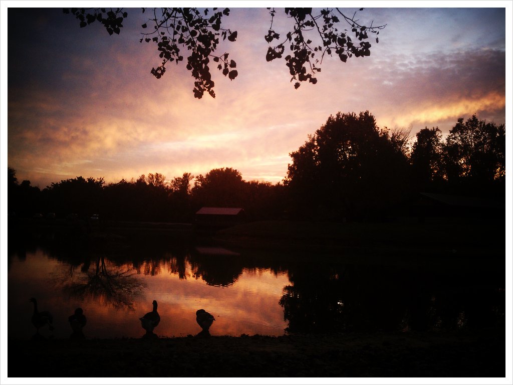
Sunrise in the Summit

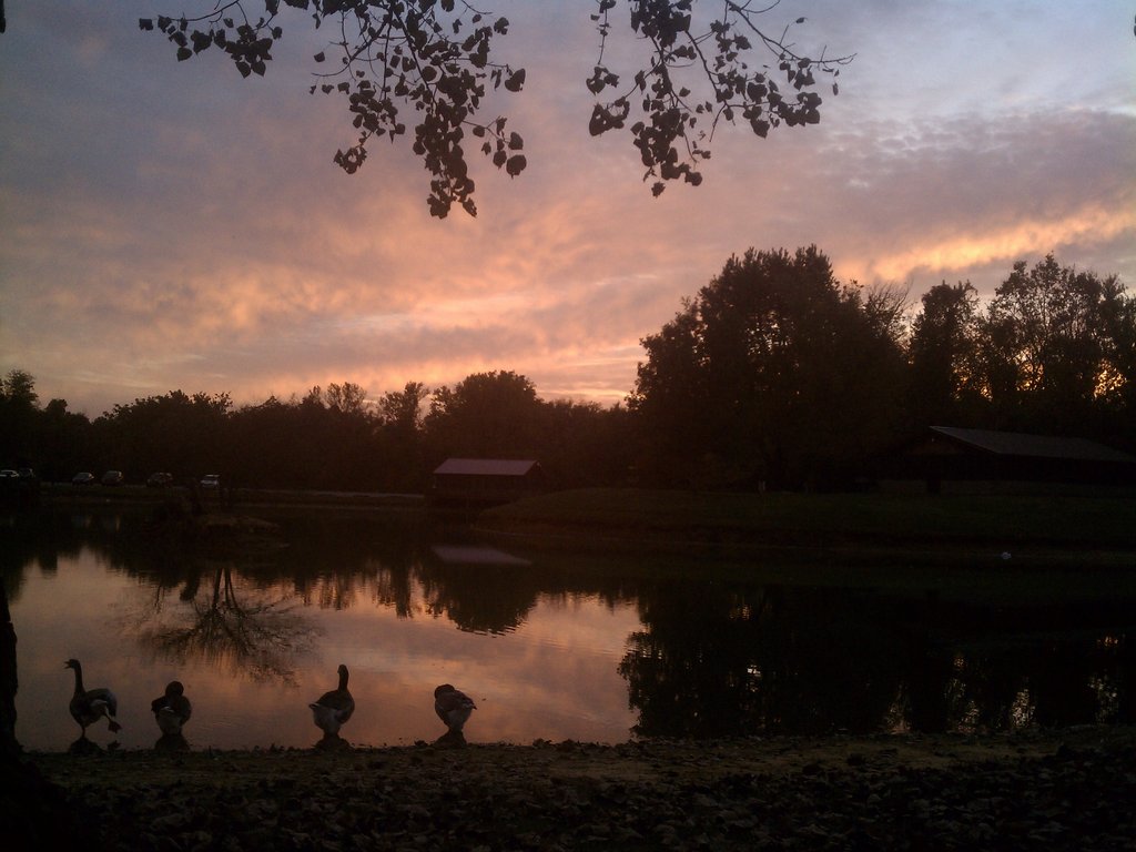
Summit Sunset
Quack (w/ fx)
Sunrise over the Ohio

Aerial - Golf Course Sunset

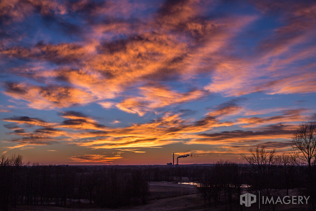
Rural Sunset

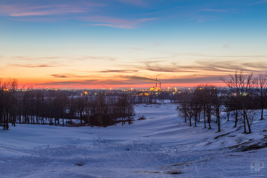
Snowy Summit Sunset

Sunrise at the Pearl Club
Quack quack no fx

Aerial - Natcher Bridge Sunset
Snowy Hills

Gravel Road Sunset

Summit Sunrise
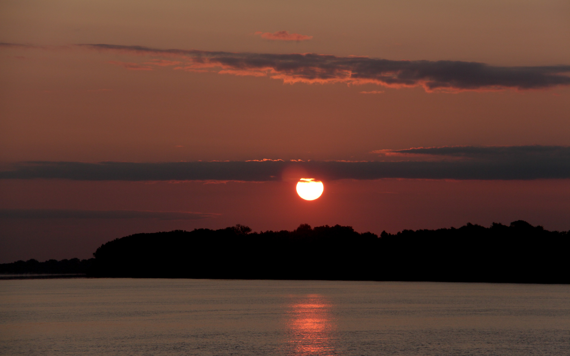
Sunset - Rural KY

Sunset in The Summit

Corn Sunset

Golf Course - Sunset

The Pearl Club

Sunset at the Pearl Club

Lewisport Sunset - Panorama

Farm Sunset

October Sunrise

Rural Driveway
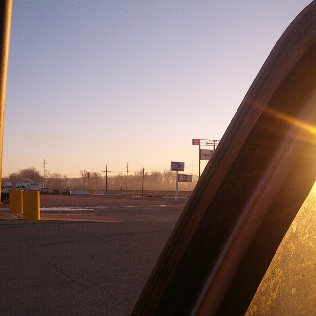
The view from the truck this morning. Good morning! #Kentucky #Sunrise

Rockport Sunrise
Mapa de County Road North, County Rd N, Rockport, IN, EE. UU.
Buscar otro lugar
Lugares cercanos
N Orchard Rd, Rockport, IN, EE. UU.
Rockport, Indiana, EE. UU.
Municipio de Ohio, Indiana, EE. UU.
Rockport, Indiana, EE. UU.
4th St, Grandview, IN, EE. UU.
Grandview, Indiana, EE. UU.
Maceo, Kentucky, EE. UU.
Municipio de Hammond, Indiana, EE. UU.
Richland City, IN, EE. UU.
KY-, Owensboro, KY, EE. UU.
S W, Rockport, IN, EE. UU.
Pennsylvania Ave, Lewisport, KY, EE. UU.
KY-, Maceo, KY, EE. UU.
Lewisport, Kentucky, EE. UU.
Smothers Park, W Veterans Blvd, Owensboro, KY, EE. UU.
Owensboro, Kentucky, EE. UU.
Trillium Gardens, Owensboro, KY, EE. UU.
Griffith Ave, Owensboro, KY, EE. UU.
Center St, Owensboro, KY, EE. UU.
Veach Rd, Owensboro, KY, EE. UU.
Búsquedas recientes
- Horas de salida y puesta de sol de Red Dog Mine, AK, USA
- Horas de salida y puesta de sol de Am Bahnhof, Am bhf, Borken, Germany
- Horas de salida y puesta de sol de 4th St E, Sonoma, CA, EE. UU.
- Horas de salida y puesta de sol de Oakland Ave, Williamsport, PA, EE. UU.
- Horas de salida y puesta de sol de Via Roma, Pieranica CR, Italia
- Horas de salida y puesta de sol de Torre del reloj, Grad, Dubrovnik (Ragusa), Croacia
- Horas de salida y puesta de sol de Trelew, Chubut, Argentina
- Horas de salida y puesta de sol de Hartfords Bluff Cir, Mt Pleasant, SC, EE. UU.
- Horas de salida y puesta de sol de Kita Ward, Kumamoto, Japón
- Horas de salida y puesta de sol de Pingtan Island, Pingtan County, Fuzhou, China