Horas de salida y puesta de sol de County Road G, County Rd G, Dell City, NM, EE. UU.
Location: Estados Unidos > Texas > Dell City >
Zona horaria:
America/Denver
Hora local:
2025-06-23 02:26:41
Longitud:
-104.8957764
Latitud:
32.134699
Salida de sol de hoy:
05:54:20 AM
Puesta de sol de hoy:
08:09:38 PM
La duración del día hoy:
14h 15m 18s
Salida de sol de mañana:
05:54:37 AM
Puesta de sol de mañana:
08:09:47 PM
La duración del día mañana:
14h 15m 10s
Mostrar todas las fechas
| Fecha | Salida de sol | Puesta de sol | Duración del día |
|---|---|---|---|
| 01/01/2025 | 07:00:39 AM | 05:06:53 PM | 10h 6m 14s |
| 02/01/2025 | 07:00:48 AM | 05:07:39 PM | 10h 6m 51s |
| 03/01/2025 | 07:00:56 AM | 05:08:25 PM | 10h 7m 29s |
| 04/01/2025 | 07:01:03 AM | 05:09:12 PM | 10h 8m 9s |
| 05/01/2025 | 07:01:07 AM | 05:10:00 PM | 10h 8m 53s |
| 06/01/2025 | 07:01:10 AM | 05:10:49 PM | 10h 9m 39s |
| 07/01/2025 | 07:01:11 AM | 05:11:39 PM | 10h 10m 28s |
| 08/01/2025 | 07:01:10 AM | 05:12:29 PM | 10h 11m 19s |
| 09/01/2025 | 07:01:08 AM | 05:13:20 PM | 10h 12m 12s |
| 10/01/2025 | 07:01:04 AM | 05:14:12 PM | 10h 13m 8s |
| 11/01/2025 | 07:00:57 AM | 05:15:04 PM | 10h 14m 7s |
| 12/01/2025 | 07:00:50 AM | 05:15:56 PM | 10h 15m 6s |
| 13/01/2025 | 07:00:40 AM | 05:16:49 PM | 10h 16m 9s |
| 14/01/2025 | 07:00:29 AM | 05:17:43 PM | 10h 17m 14s |
| 15/01/2025 | 07:00:16 AM | 05:18:37 PM | 10h 18m 21s |
| 16/01/2025 | 07:00:01 AM | 05:19:31 PM | 10h 19m 30s |
| 17/01/2025 | 06:59:44 AM | 05:20:26 PM | 10h 20m 42s |
| 18/01/2025 | 06:59:26 AM | 05:21:21 PM | 10h 21m 55s |
| 19/01/2025 | 06:59:06 AM | 05:22:16 PM | 10h 23m 10s |
| 20/01/2025 | 06:58:44 AM | 05:23:12 PM | 10h 24m 28s |
| 21/01/2025 | 06:58:20 AM | 05:24:07 PM | 10h 25m 47s |
| 22/01/2025 | 06:57:55 AM | 05:25:03 PM | 10h 27m 8s |
| 23/01/2025 | 06:57:29 AM | 05:25:58 PM | 10h 28m 29s |
| 24/01/2025 | 06:57:00 AM | 05:26:54 PM | 10h 29m 54s |
| 25/01/2025 | 06:56:30 AM | 05:27:50 PM | 10h 31m 20s |
| 26/01/2025 | 06:55:58 AM | 05:28:46 PM | 10h 32m 48s |
| 27/01/2025 | 06:55:25 AM | 05:29:42 PM | 10h 34m 17s |
| 28/01/2025 | 06:54:50 AM | 05:30:37 PM | 10h 35m 47s |
| 29/01/2025 | 06:54:14 AM | 05:31:33 PM | 10h 37m 19s |
| 30/01/2025 | 06:53:36 AM | 05:32:29 PM | 10h 38m 53s |
| 31/01/2025 | 06:52:57 AM | 05:33:24 PM | 10h 40m 27s |
| 01/02/2025 | 06:52:16 AM | 05:34:19 PM | 10h 42m 3s |
| 02/02/2025 | 06:51:34 AM | 05:35:14 PM | 10h 43m 40s |
| 03/02/2025 | 06:50:50 AM | 05:36:09 PM | 10h 45m 19s |
| 04/02/2025 | 06:50:05 AM | 05:37:04 PM | 10h 46m 59s |
| 05/02/2025 | 06:49:19 AM | 05:37:58 PM | 10h 48m 39s |
| 06/02/2025 | 06:48:31 AM | 05:38:52 PM | 10h 50m 21s |
| 07/02/2025 | 06:47:42 AM | 05:39:46 PM | 10h 52m 4s |
| 08/02/2025 | 06:46:51 AM | 05:40:39 PM | 10h 53m 48s |
| 09/02/2025 | 06:46:00 AM | 05:41:33 PM | 10h 55m 33s |
| 10/02/2025 | 06:45:07 AM | 05:42:25 PM | 10h 57m 18s |
| 11/02/2025 | 06:44:13 AM | 05:43:18 PM | 10h 59m 5s |
| 12/02/2025 | 06:43:18 AM | 05:44:10 PM | 11h 0m 52s |
| 13/02/2025 | 06:42:21 AM | 05:45:02 PM | 11h 2m 41s |
| 14/02/2025 | 06:41:24 AM | 05:45:54 PM | 11h 4m 30s |
| 15/02/2025 | 06:40:25 AM | 05:46:45 PM | 11h 6m 20s |
| 16/02/2025 | 06:39:26 AM | 05:47:36 PM | 11h 8m 10s |
| 17/02/2025 | 06:38:25 AM | 05:48:26 PM | 11h 10m 1s |
| 18/02/2025 | 06:37:24 AM | 05:49:17 PM | 11h 11m 53s |
| 19/02/2025 | 06:36:21 AM | 05:50:06 PM | 11h 13m 45s |
| 20/02/2025 | 06:35:18 AM | 05:50:56 PM | 11h 15m 38s |
| 21/02/2025 | 06:34:13 AM | 05:51:45 PM | 11h 17m 32s |
| 22/02/2025 | 06:33:08 AM | 05:52:34 PM | 11h 19m 26s |
| 23/02/2025 | 06:32:02 AM | 05:53:22 PM | 11h 21m 20s |
| 24/02/2025 | 06:30:55 AM | 05:54:10 PM | 11h 23m 15s |
| 25/02/2025 | 06:29:47 AM | 05:54:57 PM | 11h 25m 10s |
| 26/02/2025 | 06:28:39 AM | 05:55:45 PM | 11h 27m 6s |
| 27/02/2025 | 06:27:30 AM | 05:56:32 PM | 11h 29m 2s |
| 28/02/2025 | 06:26:20 AM | 05:57:18 PM | 11h 30m 58s |
| 01/03/2025 | 06:25:09 AM | 05:58:04 PM | 11h 32m 55s |
| 02/03/2025 | 06:23:58 AM | 05:58:50 PM | 11h 34m 52s |
| 03/03/2025 | 06:22:47 AM | 05:59:36 PM | 11h 36m 49s |
| 04/03/2025 | 06:21:34 AM | 06:00:21 PM | 11h 38m 47s |
| 05/03/2025 | 06:20:22 AM | 06:01:06 PM | 11h 40m 44s |
| 06/03/2025 | 06:19:08 AM | 06:01:51 PM | 11h 42m 43s |
| 07/03/2025 | 06:17:54 AM | 06:02:35 PM | 11h 44m 41s |
| 08/03/2025 | 06:16:40 AM | 06:03:20 PM | 11h 46m 40s |
| 09/03/2025 | 07:15:29 AM | 07:04:02 PM | 11h 48m 33s |
| 10/03/2025 | 07:14:13 AM | 07:04:45 PM | 11h 50m 32s |
| 11/03/2025 | 07:12:58 AM | 07:05:29 PM | 11h 52m 31s |
| 12/03/2025 | 07:11:42 AM | 07:06:12 PM | 11h 54m 30s |
| 13/03/2025 | 07:10:26 AM | 07:06:55 PM | 11h 56m 29s |
| 14/03/2025 | 07:09:10 AM | 07:07:38 PM | 11h 58m 28s |
| 15/03/2025 | 07:07:53 AM | 07:08:20 PM | 12h 0m 27s |
| 16/03/2025 | 07:06:36 AM | 07:09:03 PM | 12h 2m 27s |
| 17/03/2025 | 07:05:19 AM | 07:09:45 PM | 12h 4m 26s |
| 18/03/2025 | 07:04:02 AM | 07:10:27 PM | 12h 6m 25s |
| 19/03/2025 | 07:02:45 AM | 07:11:09 PM | 12h 8m 24s |
| 20/03/2025 | 07:01:28 AM | 07:11:50 PM | 12h 10m 22s |
| 21/03/2025 | 07:00:10 AM | 07:12:32 PM | 12h 12m 22s |
| 22/03/2025 | 06:58:53 AM | 07:13:13 PM | 12h 14m 20s |
| 23/03/2025 | 06:57:35 AM | 07:13:55 PM | 12h 16m 20s |
| 24/03/2025 | 06:56:18 AM | 07:14:36 PM | 12h 18m 18s |
| 25/03/2025 | 06:55:00 AM | 07:15:17 PM | 12h 20m 17s |
| 26/03/2025 | 06:53:43 AM | 07:15:59 PM | 12h 22m 16s |
| 27/03/2025 | 06:52:26 AM | 07:16:40 PM | 12h 24m 14s |
| 28/03/2025 | 06:51:09 AM | 07:17:21 PM | 12h 26m 12s |
| 29/03/2025 | 06:49:52 AM | 07:18:02 PM | 12h 28m 10s |
| 30/03/2025 | 06:48:35 AM | 07:18:43 PM | 12h 30m 8s |
| 31/03/2025 | 06:47:18 AM | 07:19:24 PM | 12h 32m 6s |
| 01/04/2025 | 06:46:02 AM | 07:20:05 PM | 12h 34m 3s |
| 02/04/2025 | 06:44:46 AM | 07:20:46 PM | 12h 36m 0s |
| 03/04/2025 | 06:43:30 AM | 07:21:27 PM | 12h 37m 57s |
| 04/04/2025 | 06:42:14 AM | 07:22:08 PM | 12h 39m 54s |
| 05/04/2025 | 06:40:59 AM | 07:22:49 PM | 12h 41m 50s |
| 06/04/2025 | 06:39:45 AM | 07:23:30 PM | 12h 43m 45s |
| 07/04/2025 | 06:38:30 AM | 07:24:11 PM | 12h 45m 41s |
| 08/04/2025 | 06:37:17 AM | 07:24:52 PM | 12h 47m 35s |
| 09/04/2025 | 06:36:03 AM | 07:25:33 PM | 12h 49m 30s |
| 10/04/2025 | 06:34:50 AM | 07:26:15 PM | 12h 51m 25s |
| 11/04/2025 | 06:33:38 AM | 07:26:56 PM | 12h 53m 18s |
| 12/04/2025 | 06:32:26 AM | 07:27:38 PM | 12h 55m 12s |
| 13/04/2025 | 06:31:15 AM | 07:28:19 PM | 12h 57m 4s |
| 14/04/2025 | 06:30:04 AM | 07:29:01 PM | 12h 58m 57s |
| 15/04/2025 | 06:28:54 AM | 07:29:43 PM | 13h 0m 49s |
| 16/04/2025 | 06:27:45 AM | 07:30:24 PM | 13h 2m 39s |
| 17/04/2025 | 06:26:36 AM | 07:31:06 PM | 13h 4m 30s |
| 18/04/2025 | 06:25:28 AM | 07:31:48 PM | 13h 6m 20s |
| 19/04/2025 | 06:24:21 AM | 07:32:31 PM | 13h 8m 10s |
| 20/04/2025 | 06:23:15 AM | 07:33:13 PM | 13h 9m 58s |
| 21/04/2025 | 06:22:09 AM | 07:33:55 PM | 13h 11m 46s |
| 22/04/2025 | 06:21:04 AM | 07:34:37 PM | 13h 13m 33s |
| 23/04/2025 | 06:20:00 AM | 07:35:20 PM | 13h 15m 20s |
| 24/04/2025 | 06:18:57 AM | 07:36:02 PM | 13h 17m 5s |
| 25/04/2025 | 06:17:55 AM | 07:36:45 PM | 13h 18m 50s |
| 26/04/2025 | 06:16:54 AM | 07:37:28 PM | 13h 20m 34s |
| 27/04/2025 | 06:15:53 AM | 07:38:11 PM | 13h 22m 18s |
| 28/04/2025 | 06:14:54 AM | 07:38:53 PM | 13h 23m 59s |
| 29/04/2025 | 06:13:56 AM | 07:39:36 PM | 13h 25m 40s |
| 30/04/2025 | 06:12:58 AM | 07:40:19 PM | 13h 27m 21s |
| 01/05/2025 | 06:12:02 AM | 07:41:02 PM | 13h 29m 0s |
| 02/05/2025 | 06:11:07 AM | 07:41:45 PM | 13h 30m 38s |
| 03/05/2025 | 06:10:13 AM | 07:42:28 PM | 13h 32m 15s |
| 04/05/2025 | 06:09:20 AM | 07:43:11 PM | 13h 33m 51s |
| 05/05/2025 | 06:08:28 AM | 07:43:54 PM | 13h 35m 26s |
| 06/05/2025 | 06:07:38 AM | 07:44:37 PM | 13h 36m 59s |
| 07/05/2025 | 06:06:48 AM | 07:45:19 PM | 13h 38m 31s |
| 08/05/2025 | 06:06:00 AM | 07:46:02 PM | 13h 40m 2s |
| 09/05/2025 | 06:05:13 AM | 07:46:45 PM | 13h 41m 32s |
| 10/05/2025 | 06:04:27 AM | 07:47:27 PM | 13h 43m 0s |
| 11/05/2025 | 06:03:43 AM | 07:48:10 PM | 13h 44m 27s |
| 12/05/2025 | 06:03:00 AM | 07:48:52 PM | 13h 45m 52s |
| 13/05/2025 | 06:02:18 AM | 07:49:34 PM | 13h 47m 16s |
| 14/05/2025 | 06:01:38 AM | 07:50:16 PM | 13h 48m 38s |
| 15/05/2025 | 06:00:58 AM | 07:50:57 PM | 13h 49m 59s |
| 16/05/2025 | 06:00:21 AM | 07:51:39 PM | 13h 51m 18s |
| 17/05/2025 | 05:59:44 AM | 07:52:20 PM | 13h 52m 36s |
| 18/05/2025 | 05:59:09 AM | 07:53:01 PM | 13h 53m 52s |
| 19/05/2025 | 05:58:36 AM | 07:53:41 PM | 13h 55m 5s |
| 20/05/2025 | 05:58:04 AM | 07:54:21 PM | 13h 56m 17s |
| 21/05/2025 | 05:57:33 AM | 07:55:01 PM | 13h 57m 28s |
| 22/05/2025 | 05:57:04 AM | 07:55:40 PM | 13h 58m 36s |
| 23/05/2025 | 05:56:36 AM | 07:56:19 PM | 13h 59m 43s |
| 24/05/2025 | 05:56:10 AM | 07:56:57 PM | 14h 0m 47s |
| 25/05/2025 | 05:55:45 AM | 07:57:35 PM | 14h 1m 50s |
| 26/05/2025 | 05:55:22 AM | 07:58:12 PM | 14h 2m 50s |
| 27/05/2025 | 05:55:00 AM | 07:58:49 PM | 14h 3m 49s |
| 28/05/2025 | 05:54:40 AM | 07:59:25 PM | 14h 4m 45s |
| 29/05/2025 | 05:54:21 AM | 08:00:01 PM | 14h 5m 40s |
| 30/05/2025 | 05:54:04 AM | 08:00:36 PM | 14h 6m 32s |
| 31/05/2025 | 05:53:48 AM | 08:01:10 PM | 14h 7m 22s |
| 01/06/2025 | 05:53:34 AM | 08:01:43 PM | 14h 8m 9s |
| 02/06/2025 | 05:53:21 AM | 08:02:16 PM | 14h 8m 55s |
| 03/06/2025 | 05:53:10 AM | 08:02:47 PM | 14h 9m 37s |
| 04/06/2025 | 05:53:01 AM | 08:03:18 PM | 14h 10m 17s |
| 05/06/2025 | 05:52:52 AM | 08:03:48 PM | 14h 10m 56s |
| 06/06/2025 | 05:52:46 AM | 08:04:17 PM | 14h 11m 31s |
| 07/06/2025 | 05:52:41 AM | 08:04:46 PM | 14h 12m 5s |
| 08/06/2025 | 05:52:37 AM | 08:05:13 PM | 14h 12m 36s |
| 09/06/2025 | 05:52:35 AM | 08:05:39 PM | 14h 13m 4s |
| 10/06/2025 | 05:52:34 AM | 08:06:04 PM | 14h 13m 30s |
| 11/06/2025 | 05:52:35 AM | 08:06:28 PM | 14h 13m 53s |
| 12/06/2025 | 05:52:37 AM | 08:06:51 PM | 14h 14m 14s |
| 13/06/2025 | 05:52:40 AM | 08:07:13 PM | 14h 14m 33s |
| 14/06/2025 | 05:52:45 AM | 08:07:34 PM | 14h 14m 49s |
| 15/06/2025 | 05:52:52 AM | 08:07:53 PM | 14h 15m 1s |
| 16/06/2025 | 05:52:59 AM | 08:08:12 PM | 14h 15m 13s |
| 17/06/2025 | 05:53:08 AM | 08:08:29 PM | 14h 15m 21s |
| 18/06/2025 | 05:53:19 AM | 08:08:44 PM | 14h 15m 25s |
| 19/06/2025 | 05:53:30 AM | 08:08:59 PM | 14h 15m 29s |
| 20/06/2025 | 05:53:43 AM | 08:09:12 PM | 14h 15m 29s |
| 21/06/2025 | 05:53:58 AM | 08:09:24 PM | 14h 15m 26s |
| 22/06/2025 | 05:54:13 AM | 08:09:34 PM | 14h 15m 21s |
| 23/06/2025 | 05:54:30 AM | 08:09:43 PM | 14h 15m 13s |
| 24/06/2025 | 05:54:48 AM | 08:09:51 PM | 14h 15m 3s |
| 25/06/2025 | 05:55:07 AM | 08:09:57 PM | 14h 14m 50s |
| 26/06/2025 | 05:55:27 AM | 08:10:02 PM | 14h 14m 35s |
| 27/06/2025 | 05:55:48 AM | 08:10:05 PM | 14h 14m 17s |
| 28/06/2025 | 05:56:11 AM | 08:10:07 PM | 14h 13m 56s |
| 29/06/2025 | 05:56:34 AM | 08:10:07 PM | 14h 13m 33s |
| 30/06/2025 | 05:56:58 AM | 08:10:06 PM | 14h 13m 8s |
| 01/07/2025 | 05:57:24 AM | 08:10:03 PM | 14h 12m 39s |
| 02/07/2025 | 05:57:50 AM | 08:09:59 PM | 14h 12m 9s |
| 03/07/2025 | 05:58:17 AM | 08:09:53 PM | 14h 11m 36s |
| 04/07/2025 | 05:58:45 AM | 08:09:46 PM | 14h 11m 1s |
| 05/07/2025 | 05:59:14 AM | 08:09:37 PM | 14h 10m 23s |
| 06/07/2025 | 05:59:44 AM | 08:09:27 PM | 14h 9m 43s |
| 07/07/2025 | 06:00:14 AM | 08:09:15 PM | 14h 9m 1s |
| 08/07/2025 | 06:00:45 AM | 08:09:02 PM | 14h 8m 17s |
| 09/07/2025 | 06:01:17 AM | 08:08:47 PM | 14h 7m 30s |
| 10/07/2025 | 06:01:50 AM | 08:08:30 PM | 14h 6m 40s |
| 11/07/2025 | 06:02:23 AM | 08:08:12 PM | 14h 5m 49s |
| 12/07/2025 | 06:02:57 AM | 08:07:52 PM | 14h 4m 55s |
| 13/07/2025 | 06:03:31 AM | 08:07:31 PM | 14h 4m 0s |
| 14/07/2025 | 06:04:06 AM | 08:07:08 PM | 14h 3m 2s |
| 15/07/2025 | 06:04:42 AM | 08:06:44 PM | 14h 2m 2s |
| 16/07/2025 | 06:05:18 AM | 08:06:18 PM | 14h 1m 0s |
| 17/07/2025 | 06:05:54 AM | 08:05:51 PM | 13h 59m 57s |
| 18/07/2025 | 06:06:31 AM | 08:05:22 PM | 13h 58m 51s |
| 19/07/2025 | 06:07:08 AM | 08:04:51 PM | 13h 57m 43s |
| 20/07/2025 | 06:07:46 AM | 08:04:20 PM | 13h 56m 34s |
| 21/07/2025 | 06:08:24 AM | 08:03:46 PM | 13h 55m 22s |
| 22/07/2025 | 06:09:02 AM | 08:03:11 PM | 13h 54m 9s |
| 23/07/2025 | 06:09:40 AM | 08:02:35 PM | 13h 52m 55s |
| 24/07/2025 | 06:10:19 AM | 08:01:58 PM | 13h 51m 39s |
| 25/07/2025 | 06:10:58 AM | 08:01:18 PM | 13h 50m 20s |
| 26/07/2025 | 06:11:37 AM | 08:00:38 PM | 13h 49m 1s |
| 27/07/2025 | 06:12:16 AM | 07:59:56 PM | 13h 47m 40s |
| 28/07/2025 | 06:12:56 AM | 07:59:13 PM | 13h 46m 17s |
| 29/07/2025 | 06:13:35 AM | 07:58:28 PM | 13h 44m 53s |
| 30/07/2025 | 06:14:15 AM | 07:57:43 PM | 13h 43m 28s |
| 31/07/2025 | 06:14:55 AM | 07:56:56 PM | 13h 42m 1s |
| 01/08/2025 | 06:15:34 AM | 07:56:07 PM | 13h 40m 33s |
| 02/08/2025 | 06:16:14 AM | 07:55:17 PM | 13h 39m 3s |
| 03/08/2025 | 06:16:54 AM | 07:54:26 PM | 13h 37m 32s |
| 04/08/2025 | 06:17:34 AM | 07:53:34 PM | 13h 36m 0s |
| 05/08/2025 | 06:18:14 AM | 07:52:41 PM | 13h 34m 27s |
| 06/08/2025 | 06:18:54 AM | 07:51:47 PM | 13h 32m 53s |
| 07/08/2025 | 06:19:34 AM | 07:50:51 PM | 13h 31m 17s |
| 08/08/2025 | 06:20:13 AM | 07:49:54 PM | 13h 29m 41s |
| 09/08/2025 | 06:20:53 AM | 07:48:56 PM | 13h 28m 3s |
| 10/08/2025 | 06:21:33 AM | 07:47:57 PM | 13h 26m 24s |
| 11/08/2025 | 06:22:12 AM | 07:46:57 PM | 13h 24m 45s |
| 12/08/2025 | 06:22:52 AM | 07:45:56 PM | 13h 23m 4s |
| 13/08/2025 | 06:23:31 AM | 07:44:54 PM | 13h 21m 23s |
| 14/08/2025 | 06:24:11 AM | 07:43:51 PM | 13h 19m 40s |
| 15/08/2025 | 06:24:50 AM | 07:42:47 PM | 13h 17m 57s |
| 16/08/2025 | 06:25:29 AM | 07:41:43 PM | 13h 16m 14s |
| 17/08/2025 | 06:26:08 AM | 07:40:37 PM | 13h 14m 29s |
| 18/08/2025 | 06:26:47 AM | 07:39:30 PM | 13h 12m 43s |
| 19/08/2025 | 06:27:25 AM | 07:38:23 PM | 13h 10m 58s |
| 20/08/2025 | 06:28:04 AM | 07:37:15 PM | 13h 9m 11s |
| 21/08/2025 | 06:28:42 AM | 07:36:06 PM | 13h 7m 24s |
| 22/08/2025 | 06:29:21 AM | 07:34:56 PM | 13h 5m 35s |
| 23/08/2025 | 06:29:59 AM | 07:33:45 PM | 13h 3m 46s |
| 24/08/2025 | 06:30:37 AM | 07:32:34 PM | 13h 1m 57s |
| 25/08/2025 | 06:31:15 AM | 07:31:22 PM | 13h 0m 7s |
| 26/08/2025 | 06:31:53 AM | 07:30:10 PM | 12h 58m 17s |
| 27/08/2025 | 06:32:31 AM | 07:28:56 PM | 12h 56m 25s |
| 28/08/2025 | 06:33:08 AM | 07:27:43 PM | 12h 54m 35s |
| 29/08/2025 | 06:33:46 AM | 07:26:28 PM | 12h 52m 42s |
| 30/08/2025 | 06:34:23 AM | 07:25:13 PM | 12h 50m 50s |
| 31/08/2025 | 06:35:01 AM | 07:23:58 PM | 12h 48m 57s |
| 01/09/2025 | 06:35:38 AM | 07:22:42 PM | 12h 47m 4s |
| 02/09/2025 | 06:36:15 AM | 07:21:26 PM | 12h 45m 11s |
| 03/09/2025 | 06:36:52 AM | 07:20:09 PM | 12h 43m 17s |
| 04/09/2025 | 06:37:29 AM | 07:18:52 PM | 12h 41m 23s |
| 05/09/2025 | 06:38:06 AM | 07:17:34 PM | 12h 39m 28s |
| 06/09/2025 | 06:38:43 AM | 07:16:16 PM | 12h 37m 33s |
| 07/09/2025 | 06:39:20 AM | 07:14:58 PM | 12h 35m 38s |
| 08/09/2025 | 06:39:56 AM | 07:13:40 PM | 12h 33m 44s |
| 09/09/2025 | 06:40:33 AM | 07:12:21 PM | 12h 31m 48s |
| 10/09/2025 | 06:41:10 AM | 07:11:02 PM | 12h 29m 52s |
| 11/09/2025 | 06:41:47 AM | 07:09:43 PM | 12h 27m 56s |
| 12/09/2025 | 06:42:24 AM | 07:08:23 PM | 12h 25m 59s |
| 13/09/2025 | 06:43:01 AM | 07:07:04 PM | 12h 24m 3s |
| 14/09/2025 | 06:43:37 AM | 07:05:44 PM | 12h 22m 7s |
| 15/09/2025 | 06:44:14 AM | 07:04:24 PM | 12h 20m 10s |
| 16/09/2025 | 06:44:51 AM | 07:03:04 PM | 12h 18m 13s |
| 17/09/2025 | 06:45:28 AM | 07:01:44 PM | 12h 16m 16s |
| 18/09/2025 | 06:46:05 AM | 07:00:24 PM | 12h 14m 19s |
| 19/09/2025 | 06:46:43 AM | 06:59:04 PM | 12h 12m 21s |
| 20/09/2025 | 06:47:20 AM | 06:57:44 PM | 12h 10m 24s |
| 21/09/2025 | 06:47:58 AM | 06:56:25 PM | 12h 8m 27s |
| 22/09/2025 | 06:48:35 AM | 06:55:05 PM | 12h 6m 30s |
| 23/09/2025 | 06:49:13 AM | 06:53:45 PM | 12h 4m 32s |
| 24/09/2025 | 06:49:51 AM | 06:52:26 PM | 12h 2m 35s |
| 25/09/2025 | 06:50:29 AM | 06:51:07 PM | 12h 0m 38s |
| 26/09/2025 | 06:51:07 AM | 06:49:48 PM | 11h 58m 41s |
| 27/09/2025 | 06:51:46 AM | 06:48:29 PM | 11h 56m 43s |
| 28/09/2025 | 06:52:24 AM | 06:47:10 PM | 11h 54m 46s |
| 29/09/2025 | 06:53:03 AM | 06:45:52 PM | 11h 52m 49s |
| 30/09/2025 | 06:53:42 AM | 06:44:34 PM | 11h 50m 52s |
| 01/10/2025 | 06:54:22 AM | 06:43:16 PM | 11h 48m 54s |
| 02/10/2025 | 06:55:01 AM | 06:41:59 PM | 11h 46m 58s |
| 03/10/2025 | 06:55:41 AM | 06:40:43 PM | 11h 45m 2s |
| 04/10/2025 | 06:56:21 AM | 06:39:26 PM | 11h 43m 5s |
| 05/10/2025 | 06:57:02 AM | 06:38:10 PM | 11h 41m 8s |
| 06/10/2025 | 06:57:42 AM | 06:36:55 PM | 11h 39m 13s |
| 07/10/2025 | 06:58:24 AM | 06:35:40 PM | 11h 37m 16s |
| 08/10/2025 | 06:59:05 AM | 06:34:26 PM | 11h 35m 21s |
| 09/10/2025 | 06:59:47 AM | 06:33:12 PM | 11h 33m 25s |
| 10/10/2025 | 07:00:29 AM | 06:31:59 PM | 11h 31m 30s |
| 11/10/2025 | 07:01:11 AM | 06:30:47 PM | 11h 29m 36s |
| 12/10/2025 | 07:01:54 AM | 06:29:35 PM | 11h 27m 41s |
| 13/10/2025 | 07:02:37 AM | 06:28:24 PM | 11h 25m 47s |
| 14/10/2025 | 07:03:20 AM | 06:27:13 PM | 11h 23m 53s |
| 15/10/2025 | 07:04:04 AM | 06:26:04 PM | 11h 22m 0s |
| 16/10/2025 | 07:04:49 AM | 06:24:55 PM | 11h 20m 6s |
| 17/10/2025 | 07:05:33 AM | 06:23:47 PM | 11h 18m 14s |
| 18/10/2025 | 07:06:18 AM | 06:22:40 PM | 11h 16m 22s |
| 19/10/2025 | 07:07:04 AM | 06:21:34 PM | 11h 14m 30s |
| 20/10/2025 | 07:07:49 AM | 06:20:29 PM | 11h 12m 40s |
| 21/10/2025 | 07:08:36 AM | 06:19:24 PM | 11h 10m 48s |
| 22/10/2025 | 07:09:22 AM | 06:18:21 PM | 11h 8m 59s |
| 23/10/2025 | 07:10:09 AM | 06:17:19 PM | 11h 7m 10s |
| 24/10/2025 | 07:10:56 AM | 06:16:17 PM | 11h 5m 21s |
| 25/10/2025 | 07:11:44 AM | 06:15:17 PM | 11h 3m 33s |
| 26/10/2025 | 07:12:32 AM | 06:14:18 PM | 11h 1m 46s |
| 27/10/2025 | 07:13:21 AM | 06:13:20 PM | 10h 59m 59s |
| 28/10/2025 | 07:14:10 AM | 06:12:23 PM | 10h 58m 13s |
| 29/10/2025 | 07:14:59 AM | 06:11:27 PM | 10h 56m 28s |
| 30/10/2025 | 07:15:48 AM | 06:10:33 PM | 10h 54m 45s |
| 31/10/2025 | 07:16:38 AM | 06:09:40 PM | 10h 53m 2s |
| 01/11/2025 | 07:17:28 AM | 06:08:48 PM | 10h 51m 20s |
| 02/11/2025 | 06:18:21 AM | 05:07:55 PM | 10h 49m 34s |
| 03/11/2025 | 06:19:12 AM | 05:07:06 PM | 10h 47m 54s |
| 04/11/2025 | 06:20:03 AM | 05:06:18 PM | 10h 46m 15s |
| 05/11/2025 | 06:20:55 AM | 05:05:31 PM | 10h 44m 36s |
| 06/11/2025 | 06:21:47 AM | 05:04:46 PM | 10h 42m 59s |
| 07/11/2025 | 06:22:39 AM | 05:04:02 PM | 10h 41m 23s |
| 08/11/2025 | 06:23:31 AM | 05:03:20 PM | 10h 39m 49s |
| 09/11/2025 | 06:24:23 AM | 05:02:39 PM | 10h 38m 16s |
| 10/11/2025 | 06:25:16 AM | 05:02:00 PM | 10h 36m 44s |
| 11/11/2025 | 06:26:09 AM | 05:01:22 PM | 10h 35m 13s |
| 12/11/2025 | 06:27:02 AM | 05:00:46 PM | 10h 33m 44s |
| 13/11/2025 | 06:27:55 AM | 05:00:11 PM | 10h 32m 16s |
| 14/11/2025 | 06:28:48 AM | 04:59:38 PM | 10h 30m 50s |
| 15/11/2025 | 06:29:41 AM | 04:59:07 PM | 10h 29m 26s |
| 16/11/2025 | 06:30:34 AM | 04:58:37 PM | 10h 28m 3s |
| 17/11/2025 | 06:31:27 AM | 04:58:09 PM | 10h 26m 42s |
| 18/11/2025 | 06:32:21 AM | 04:57:43 PM | 10h 25m 22s |
| 19/11/2025 | 06:33:14 AM | 04:57:18 PM | 10h 24m 4s |
| 20/11/2025 | 06:34:07 AM | 04:56:55 PM | 10h 22m 48s |
| 21/11/2025 | 06:35:00 AM | 04:56:34 PM | 10h 21m 34s |
| 22/11/2025 | 06:35:52 AM | 04:56:15 PM | 10h 20m 23s |
| 23/11/2025 | 06:36:45 AM | 04:55:57 PM | 10h 19m 12s |
| 24/11/2025 | 06:37:37 AM | 04:55:41 PM | 10h 18m 4s |
| 25/11/2025 | 06:38:29 AM | 04:55:27 PM | 10h 16m 58s |
| 26/11/2025 | 06:39:21 AM | 04:55:14 PM | 10h 15m 53s |
| 27/11/2025 | 06:40:12 AM | 04:55:04 PM | 10h 14m 52s |
| 28/11/2025 | 06:41:03 AM | 04:54:55 PM | 10h 13m 52s |
| 29/11/2025 | 06:41:53 AM | 04:54:48 PM | 10h 12m 55s |
| 30/11/2025 | 06:42:43 AM | 04:54:43 PM | 10h 12m 0s |
| 01/12/2025 | 06:43:32 AM | 04:54:40 PM | 10h 11m 8s |
| 02/12/2025 | 06:44:21 AM | 04:54:38 PM | 10h 10m 17s |
| 03/12/2025 | 06:45:09 AM | 04:54:38 PM | 10h 9m 29s |
| 04/12/2025 | 06:45:57 AM | 04:54:41 PM | 10h 8m 44s |
| 05/12/2025 | 06:46:43 AM | 04:54:44 PM | 10h 8m 1s |
| 06/12/2025 | 06:47:29 AM | 04:54:50 PM | 10h 7m 21s |
| 07/12/2025 | 06:48:15 AM | 04:54:58 PM | 10h 6m 43s |
| 08/12/2025 | 06:48:59 AM | 04:55:07 PM | 10h 6m 8s |
| 09/12/2025 | 06:49:42 AM | 04:55:18 PM | 10h 5m 36s |
| 10/12/2025 | 06:50:25 AM | 04:55:31 PM | 10h 5m 6s |
| 11/12/2025 | 06:51:06 AM | 04:55:45 PM | 10h 4m 39s |
| 12/12/2025 | 06:51:46 AM | 04:56:01 PM | 10h 4m 15s |
| 13/12/2025 | 06:52:26 AM | 04:56:19 PM | 10h 3m 53s |
| 14/12/2025 | 06:53:04 AM | 04:56:39 PM | 10h 3m 35s |
| 15/12/2025 | 06:53:41 AM | 04:57:00 PM | 10h 3m 19s |
| 16/12/2025 | 06:54:17 AM | 04:57:23 PM | 10h 3m 6s |
| 17/12/2025 | 06:54:51 AM | 04:57:47 PM | 10h 2m 56s |
| 18/12/2025 | 06:55:24 AM | 04:58:13 PM | 10h 2m 49s |
| 19/12/2025 | 06:55:56 AM | 04:58:41 PM | 10h 2m 45s |
| 20/12/2025 | 06:56:27 AM | 04:59:10 PM | 10h 2m 43s |
| 21/12/2025 | 06:56:56 AM | 04:59:40 PM | 10h 2m 44s |
| 22/12/2025 | 06:57:24 AM | 05:00:12 PM | 10h 2m 48s |
| 23/12/2025 | 06:57:50 AM | 05:00:45 PM | 10h 2m 55s |
| 24/12/2025 | 06:58:15 AM | 05:01:20 PM | 10h 3m 5s |
| 25/12/2025 | 06:58:38 AM | 05:01:56 PM | 10h 3m 18s |
| 26/12/2025 | 06:59:00 AM | 05:02:34 PM | 10h 3m 34s |
| 27/12/2025 | 06:59:20 AM | 05:03:12 PM | 10h 3m 52s |
| 28/12/2025 | 06:59:38 AM | 05:03:52 PM | 10h 4m 14s |
| 29/12/2025 | 06:59:55 AM | 05:04:33 PM | 10h 4m 38s |
| 30/12/2025 | 07:00:10 AM | 05:05:15 PM | 10h 5m 5s |
| 31/12/2025 | 07:00:24 AM | 05:05:58 PM | 10h 5m 34s |
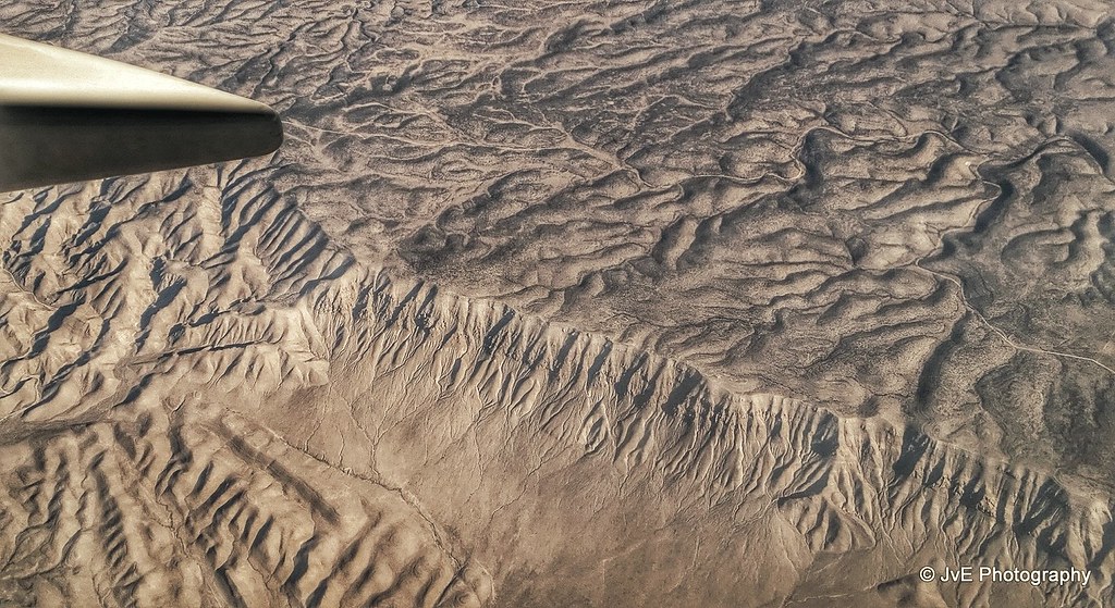
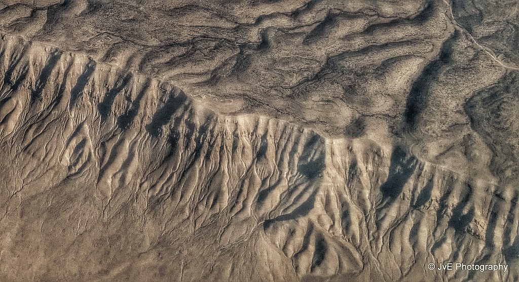
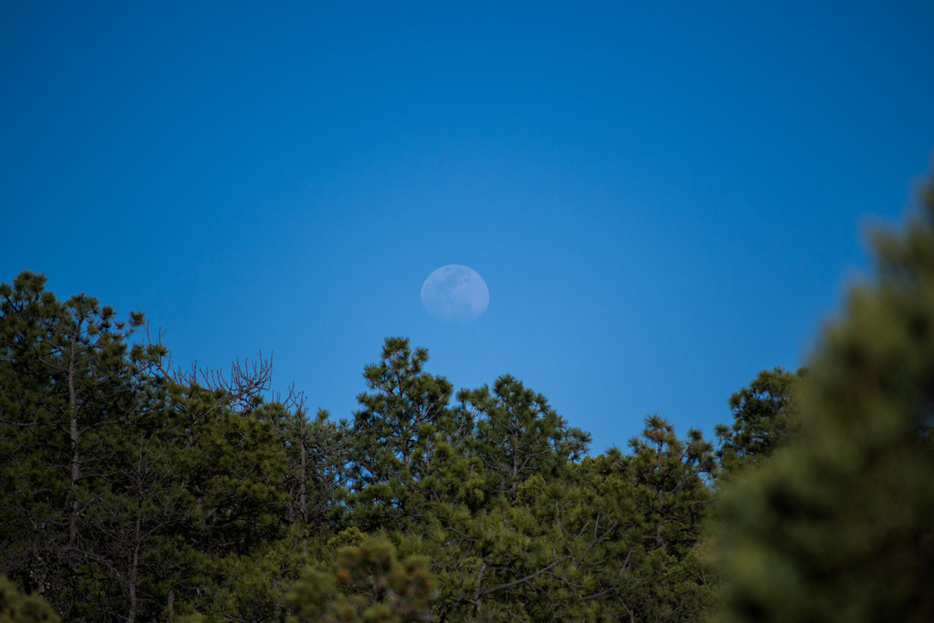
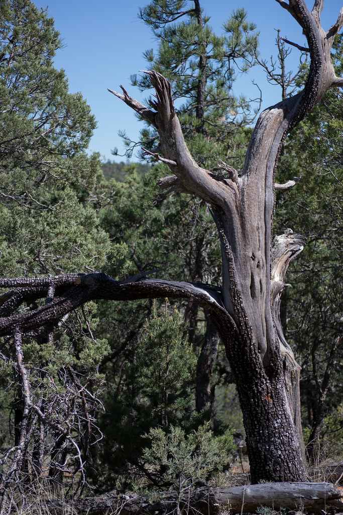
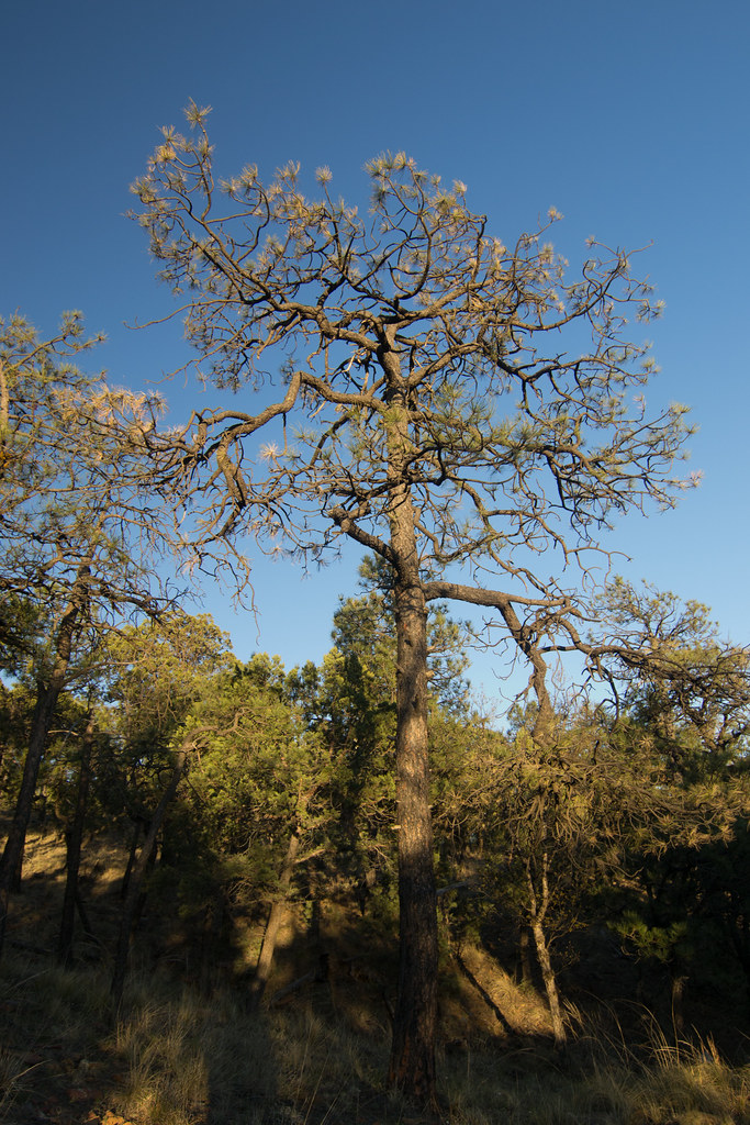
Fotos

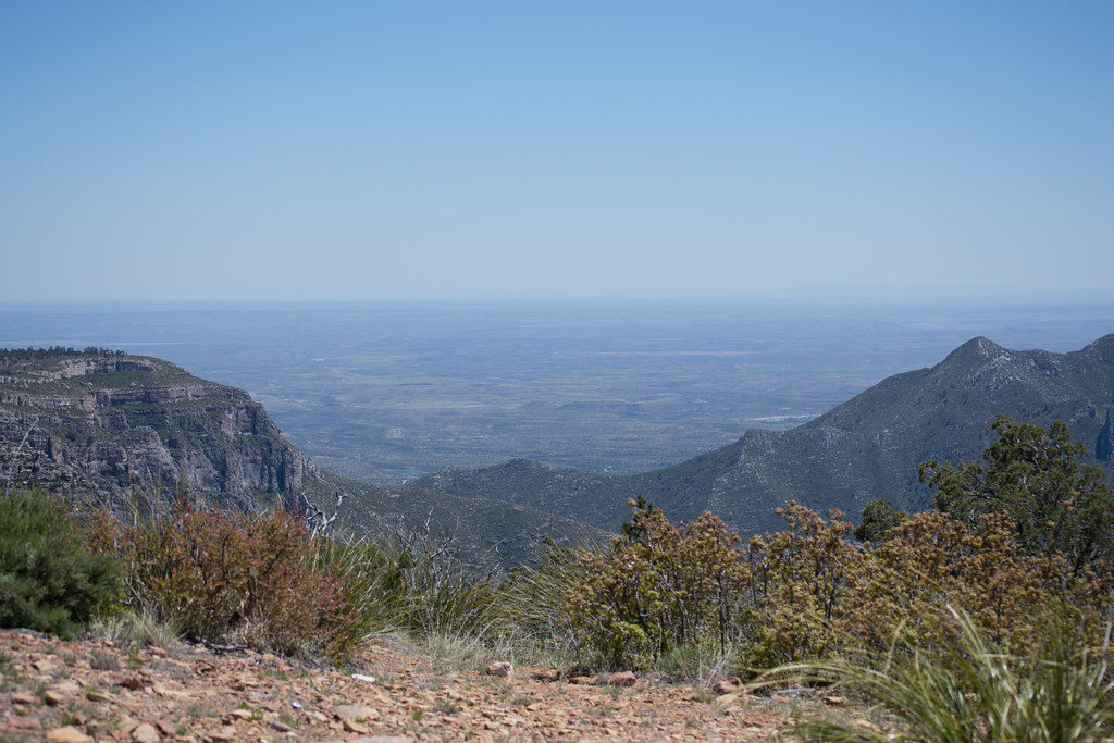
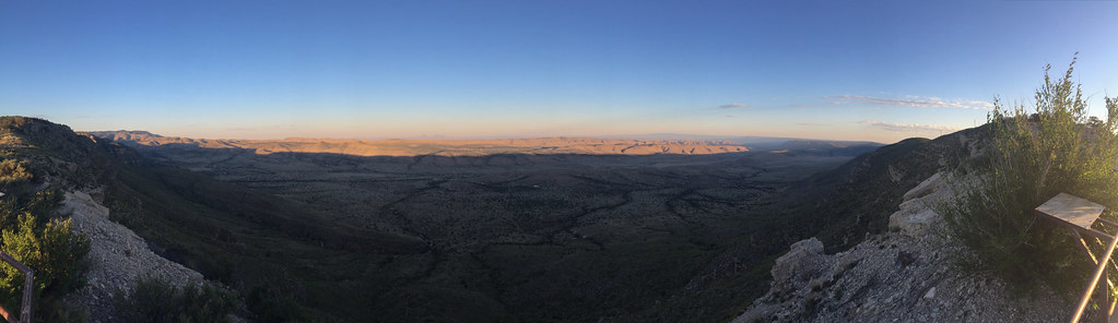
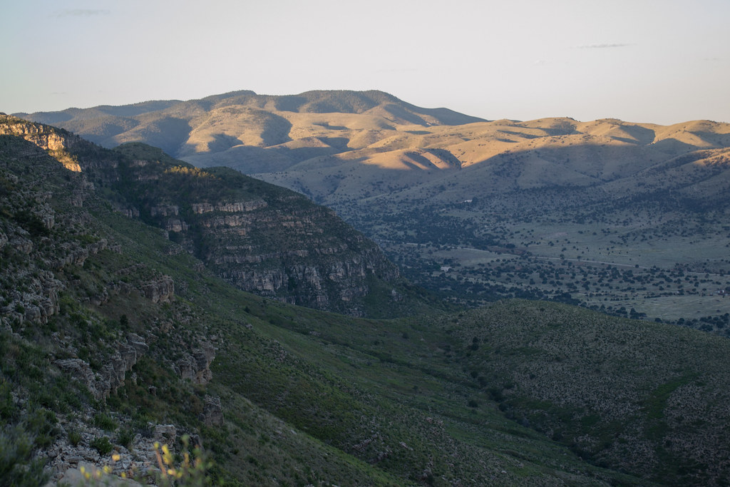
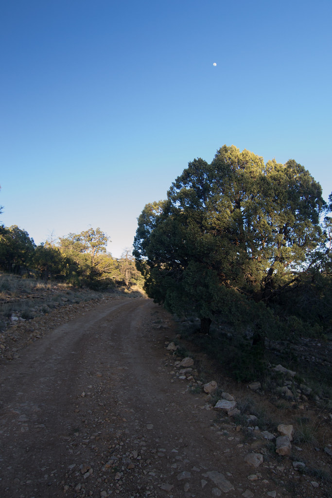
The Rim, Guadalupe Mountains, Lincoln National Forest, Eddy County, NM
The Rim
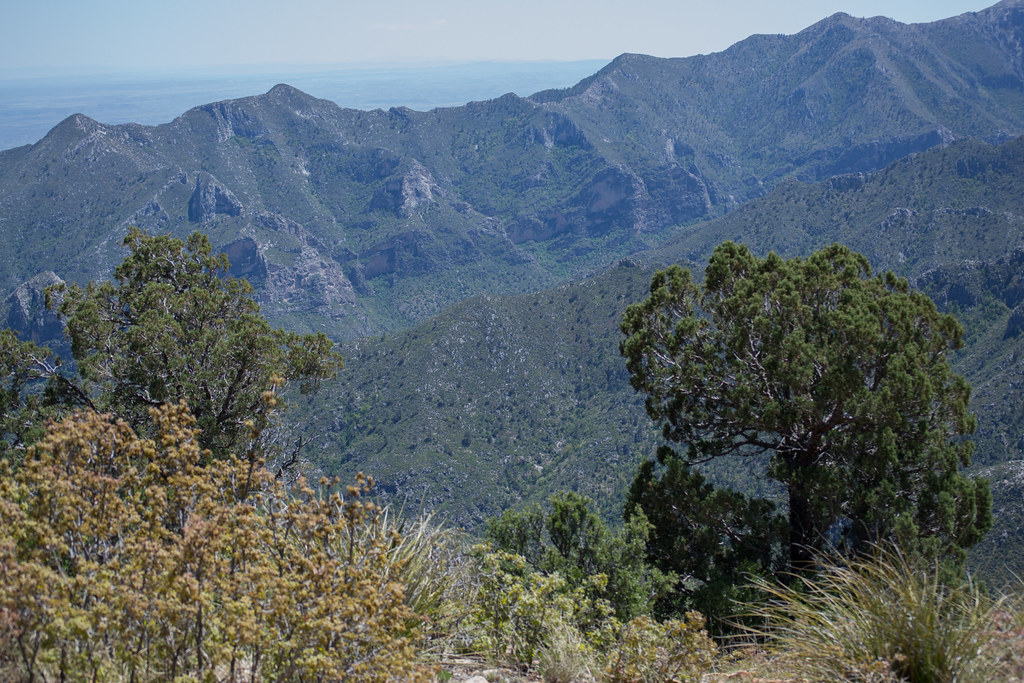
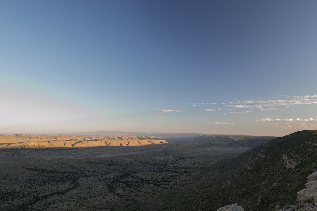
The Rim close-up

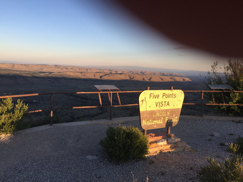
The Culp Canyon, NM
Views of McKittrick Canyon
DSC_1440.jpg

DSC_1436.jpg
IMG_2252.jpg
IMG_2251.jpg

DSC_1483.jpg
DSC_1482.jpg
DSC_1479.jpg
Looking up Dog Canyon.
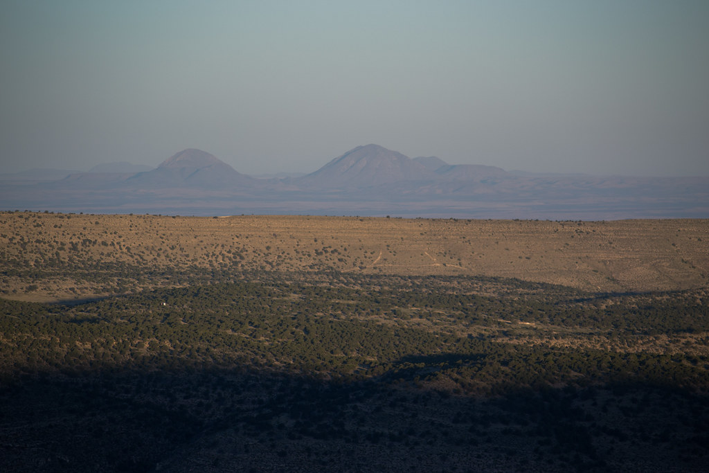
Maybe the Hueco Mountains?
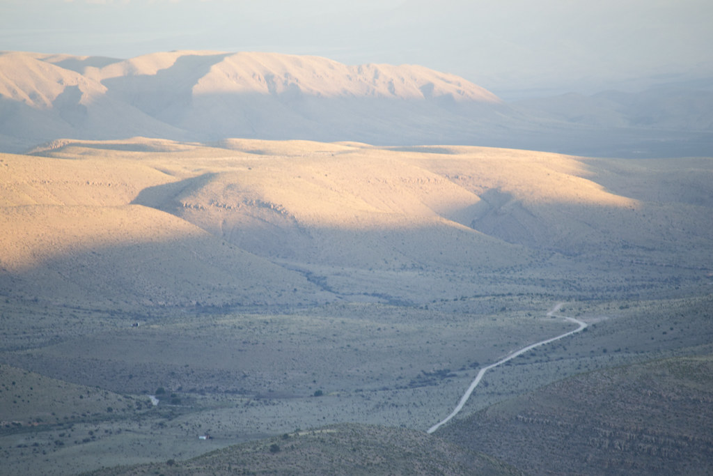
Looking back along 137 in Lincoln National Forest.
DSC_1473.jpg
DSC_1471.jpg
DSC_1469.jpg

Note the oil derrick a the top.
DSC_1463.jpg
DSC_1451.jpg
DSC_1450.jpg

DSC_1447.jpg
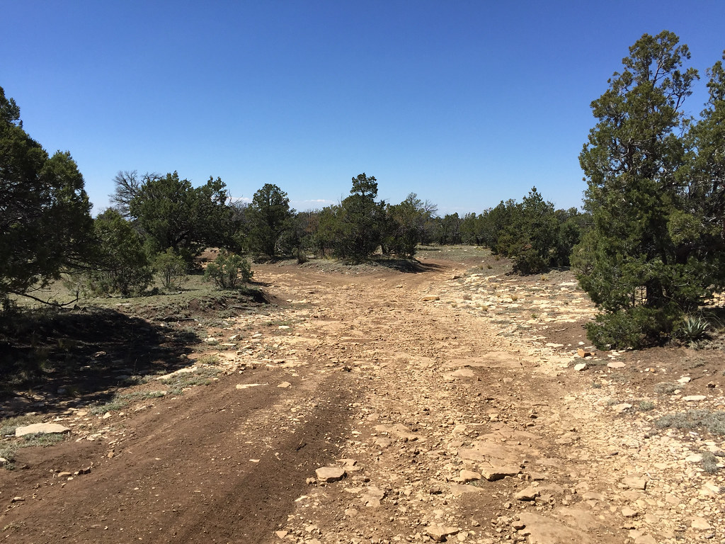
Trail almost home.
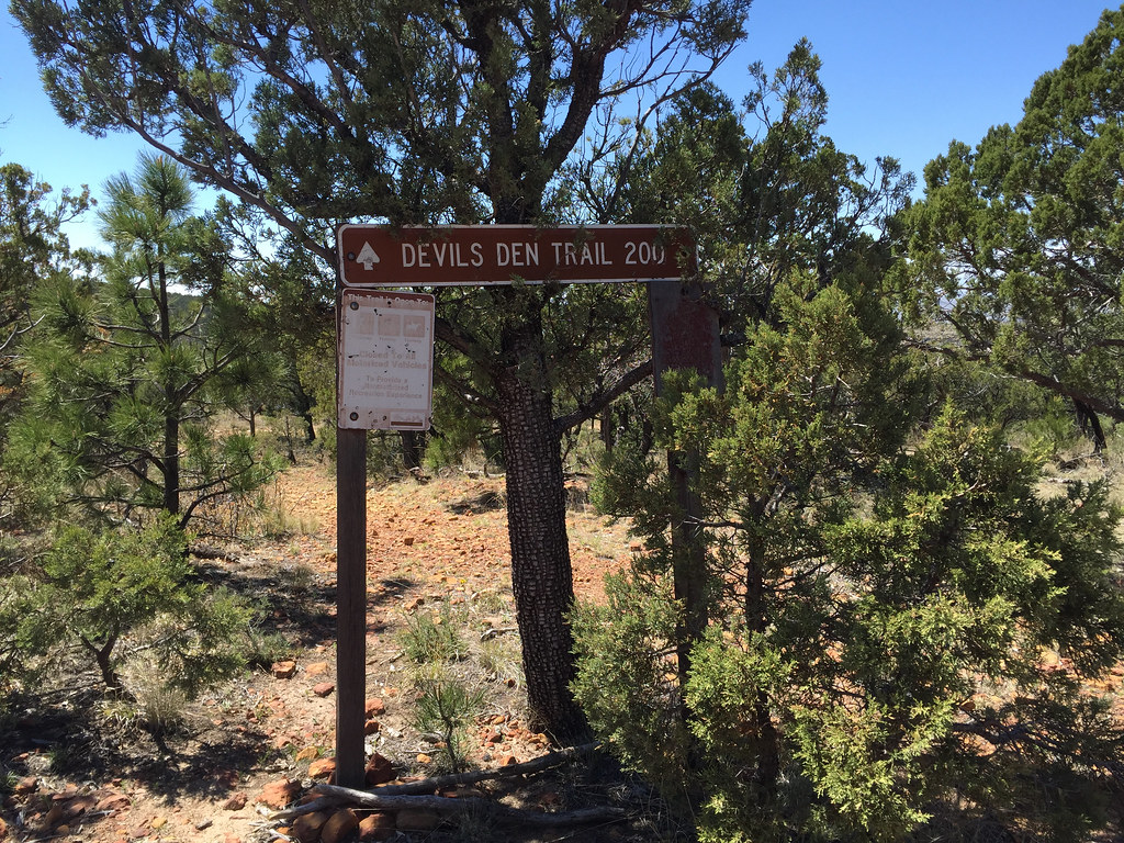
Devil's Den Trail
Mapa de County Road G, County Rd G, Dell City, NM, EE. UU.
Buscar otro lugar
Lugares cercanos
Eddy County HP, New Mexico, EE. UU.
Camp Wilderness Ridge, New Mexico, EE. UU.
Lost Peak, Texas, EE. UU.
Bush Mountain, Texas, EE. UU.
Parque nacional de las Montañas de Guadalupe, Salt Flat, Texas, EE. UU.
Bartlett Peak, Texas, EE. UU.
Shumard Peak, Texas, EE. UU.
Pico Guadalupe, Texas, EE. UU.
El Capitán, Texas, EE. UU.
Parque Nacional de las Cavernas de Carlsbad, New Mexico, Estados Unidos
Dell City, Texas, EE. UU.
Salt Flat, TX, EE. UU.
Carlsbad Caverns National Park Visitor Center, Carlsbad Cavern Hwy, Carlsbad, NM, EE. UU.
Farm to Market, FM, Pecos, TX, EE. UU.
Black River Village Rd, Loving, NM, EE. UU.
Loving, Nuevo México, EE. UU.
Málaga, Nuevo México, EE. UU.
Unnamed Road, Texas, EE. UU.
Condado de Culberson, Texas, EE. UU.
Eagle Flat, TX, EE. UU.
Búsquedas recientes
- Horas de salida y puesta de sol de Red Dog Mine, AK, USA
- Horas de salida y puesta de sol de Am Bahnhof, Am bhf, Borken, Germany
- Horas de salida y puesta de sol de 4th St E, Sonoma, CA, EE. UU.
- Horas de salida y puesta de sol de Oakland Ave, Williamsport, PA, EE. UU.
- Horas de salida y puesta de sol de Via Roma, Pieranica CR, Italia
- Horas de salida y puesta de sol de Torre del reloj, Grad, Dubrovnik (Ragusa), Croacia
- Horas de salida y puesta de sol de Trelew, Chubut, Argentina
- Horas de salida y puesta de sol de Hartfords Bluff Cir, Mt Pleasant, SC, EE. UU.
- Horas de salida y puesta de sol de Kita Ward, Kumamoto, Japón
- Horas de salida y puesta de sol de Pingtan Island, Pingtan County, Fuzhou, China