Horas de salida y puesta de sol de Copper Butte, Washington, EE. UU.
Location: Estados Unidos > Washington > Republic >
Zona horaria:
America/Los_Angeles
Hora local:
2025-07-12 14:34:20
Longitud:
-118.4652917
Latitud:
48.7023931
Salida de sol de hoy:
05:05:58 AM
Puesta de sol de hoy:
08:53:31 PM
La duración del día hoy:
15h 47m 33s
Salida de sol de mañana:
05:07:00 AM
Puesta de sol de mañana:
08:52:41 PM
La duración del día mañana:
15h 45m 41s
Mostrar todas las fechas
| Fecha | Salida de sol | Puesta de sol | Duración del día |
|---|---|---|---|
| 01/01/2025 | 07:46:22 AM | 04:09:48 PM | 8h 23m 26s |
| 02/01/2025 | 07:46:14 AM | 04:10:51 PM | 8h 24m 37s |
| 03/01/2025 | 07:46:03 AM | 04:11:56 PM | 8h 25m 53s |
| 04/01/2025 | 07:45:49 AM | 04:13:03 PM | 8h 27m 14s |
| 05/01/2025 | 07:45:33 AM | 04:14:12 PM | 8h 28m 39s |
| 06/01/2025 | 07:45:13 AM | 04:15:24 PM | 8h 30m 11s |
| 07/01/2025 | 07:44:50 AM | 04:16:37 PM | 8h 31m 47s |
| 08/01/2025 | 07:44:24 AM | 04:17:52 PM | 8h 33m 28s |
| 09/01/2025 | 07:43:56 AM | 04:19:09 PM | 8h 35m 13s |
| 10/01/2025 | 07:43:25 AM | 04:20:27 PM | 8h 37m 2s |
| 11/01/2025 | 07:42:51 AM | 04:21:48 PM | 8h 38m 57s |
| 12/01/2025 | 07:42:14 AM | 04:23:09 PM | 8h 40m 55s |
| 13/01/2025 | 07:41:34 AM | 04:24:32 PM | 8h 42m 58s |
| 14/01/2025 | 07:40:52 AM | 04:25:57 PM | 8h 45m 5s |
| 15/01/2025 | 07:40:07 AM | 04:27:23 PM | 8h 47m 16s |
| 16/01/2025 | 07:39:19 AM | 04:28:50 PM | 8h 49m 31s |
| 17/01/2025 | 07:38:29 AM | 04:30:18 PM | 8h 51m 49s |
| 18/01/2025 | 07:37:36 AM | 04:31:47 PM | 8h 54m 11s |
| 19/01/2025 | 07:36:41 AM | 04:33:17 PM | 8h 56m 36s |
| 20/01/2025 | 07:35:43 AM | 04:34:49 PM | 8h 59m 6s |
| 21/01/2025 | 07:34:43 AM | 04:36:21 PM | 9h 1m 38s |
| 22/01/2025 | 07:33:40 AM | 04:37:54 PM | 9h 4m 14s |
| 23/01/2025 | 07:32:35 AM | 04:39:27 PM | 9h 6m 52s |
| 24/01/2025 | 07:31:28 AM | 04:41:02 PM | 9h 9m 34s |
| 25/01/2025 | 07:30:19 AM | 04:42:37 PM | 9h 12m 18s |
| 26/01/2025 | 07:29:07 AM | 04:44:12 PM | 9h 15m 5s |
| 27/01/2025 | 07:27:54 AM | 04:45:48 PM | 9h 17m 54s |
| 28/01/2025 | 07:26:38 AM | 04:47:25 PM | 9h 20m 47s |
| 29/01/2025 | 07:25:20 AM | 04:49:02 PM | 9h 23m 42s |
| 30/01/2025 | 07:24:00 AM | 04:50:39 PM | 9h 26m 39s |
| 31/01/2025 | 07:22:39 AM | 04:52:17 PM | 9h 29m 38s |
| 01/02/2025 | 07:21:15 AM | 04:53:55 PM | 9h 32m 40s |
| 02/02/2025 | 07:19:49 AM | 04:55:33 PM | 9h 35m 44s |
| 03/02/2025 | 07:18:22 AM | 04:57:11 PM | 9h 38m 49s |
| 04/02/2025 | 07:16:53 AM | 04:58:50 PM | 9h 41m 57s |
| 05/02/2025 | 07:15:22 AM | 05:00:28 PM | 9h 45m 6s |
| 06/02/2025 | 07:13:50 AM | 05:02:07 PM | 9h 48m 17s |
| 07/02/2025 | 07:12:16 AM | 05:03:45 PM | 9h 51m 29s |
| 08/02/2025 | 07:10:40 AM | 05:05:24 PM | 9h 54m 44s |
| 09/02/2025 | 07:09:03 AM | 05:07:03 PM | 9h 58m 0s |
| 10/02/2025 | 07:07:25 AM | 05:08:41 PM | 10h 1m 16s |
| 11/02/2025 | 07:05:45 AM | 05:10:19 PM | 10h 4m 34s |
| 12/02/2025 | 07:04:03 AM | 05:11:58 PM | 10h 7m 55s |
| 13/02/2025 | 07:02:21 AM | 05:13:36 PM | 10h 11m 15s |
| 14/02/2025 | 07:00:37 AM | 05:15:14 PM | 10h 14m 37s |
| 15/02/2025 | 06:58:51 AM | 05:16:52 PM | 10h 18m 1s |
| 16/02/2025 | 06:57:05 AM | 05:18:30 PM | 10h 21m 25s |
| 17/02/2025 | 06:55:17 AM | 05:20:07 PM | 10h 24m 50s |
| 18/02/2025 | 06:53:28 AM | 05:21:44 PM | 10h 28m 16s |
| 19/02/2025 | 06:51:38 AM | 05:23:21 PM | 10h 31m 43s |
| 20/02/2025 | 06:49:48 AM | 05:24:58 PM | 10h 35m 10s |
| 21/02/2025 | 06:47:56 AM | 05:26:35 PM | 10h 38m 39s |
| 22/02/2025 | 06:46:03 AM | 05:28:11 PM | 10h 42m 8s |
| 23/02/2025 | 06:44:09 AM | 05:29:47 PM | 10h 45m 38s |
| 24/02/2025 | 06:42:14 AM | 05:31:23 PM | 10h 49m 9s |
| 25/02/2025 | 06:40:18 AM | 05:32:58 PM | 10h 52m 40s |
| 26/02/2025 | 06:38:22 AM | 05:34:33 PM | 10h 56m 11s |
| 27/02/2025 | 06:36:25 AM | 05:36:08 PM | 10h 59m 43s |
| 28/02/2025 | 06:34:27 AM | 05:37:43 PM | 11h 3m 16s |
| 01/03/2025 | 06:32:28 AM | 05:39:17 PM | 11h 6m 49s |
| 02/03/2025 | 06:30:29 AM | 05:40:51 PM | 11h 10m 22s |
| 03/03/2025 | 06:28:29 AM | 05:42:25 PM | 11h 13m 56s |
| 04/03/2025 | 06:26:28 AM | 05:43:59 PM | 11h 17m 31s |
| 05/03/2025 | 06:24:27 AM | 05:45:32 PM | 11h 21m 5s |
| 06/03/2025 | 06:22:26 AM | 05:47:05 PM | 11h 24m 39s |
| 07/03/2025 | 06:20:23 AM | 05:48:38 PM | 11h 28m 15s |
| 08/03/2025 | 06:18:21 AM | 05:50:10 PM | 11h 31m 49s |
| 09/03/2025 | 07:16:23 AM | 06:51:38 PM | 11h 35m 15s |
| 10/03/2025 | 07:14:19 AM | 06:53:10 PM | 11h 38m 51s |
| 11/03/2025 | 07:12:15 AM | 06:54:42 PM | 11h 42m 27s |
| 12/03/2025 | 07:10:11 AM | 06:56:14 PM | 11h 46m 3s |
| 13/03/2025 | 07:08:07 AM | 06:57:45 PM | 11h 49m 38s |
| 14/03/2025 | 07:06:02 AM | 06:59:16 PM | 11h 53m 14s |
| 15/03/2025 | 07:03:57 AM | 07:00:47 PM | 11h 56m 50s |
| 16/03/2025 | 07:01:52 AM | 07:02:18 PM | 12h 0m 26s |
| 17/03/2025 | 06:59:46 AM | 07:03:49 PM | 12h 4m 3s |
| 18/03/2025 | 06:57:41 AM | 07:05:19 PM | 12h 7m 38s |
| 19/03/2025 | 06:55:35 AM | 07:06:49 PM | 12h 11m 14s |
| 20/03/2025 | 06:53:29 AM | 07:08:19 PM | 12h 14m 50s |
| 21/03/2025 | 06:51:23 AM | 07:09:49 PM | 12h 18m 26s |
| 22/03/2025 | 06:49:17 AM | 07:11:19 PM | 12h 22m 2s |
| 23/03/2025 | 06:47:12 AM | 07:12:49 PM | 12h 25m 37s |
| 24/03/2025 | 06:45:06 AM | 07:14:19 PM | 12h 29m 13s |
| 25/03/2025 | 06:43:00 AM | 07:15:48 PM | 12h 32m 48s |
| 26/03/2025 | 06:40:54 AM | 07:17:18 PM | 12h 36m 24s |
| 27/03/2025 | 06:38:49 AM | 07:18:47 PM | 12h 39m 58s |
| 28/03/2025 | 06:36:43 AM | 07:20:16 PM | 12h 43m 33s |
| 29/03/2025 | 06:34:38 AM | 07:21:46 PM | 12h 47m 8s |
| 30/03/2025 | 06:32:33 AM | 07:23:15 PM | 12h 50m 42s |
| 31/03/2025 | 06:30:29 AM | 07:24:44 PM | 12h 54m 15s |
| 01/04/2025 | 06:28:24 AM | 07:26:13 PM | 12h 57m 49s |
| 02/04/2025 | 06:26:20 AM | 07:27:42 PM | 13h 1m 22s |
| 03/04/2025 | 06:24:16 AM | 07:29:11 PM | 13h 4m 55s |
| 04/04/2025 | 06:22:13 AM | 07:30:40 PM | 13h 8m 27s |
| 05/04/2025 | 06:20:10 AM | 07:32:09 PM | 13h 11m 59s |
| 06/04/2025 | 06:18:07 AM | 07:33:38 PM | 13h 15m 31s |
| 07/04/2025 | 06:16:05 AM | 07:35:07 PM | 13h 19m 2s |
| 08/04/2025 | 06:14:04 AM | 07:36:36 PM | 13h 22m 32s |
| 09/04/2025 | 06:12:03 AM | 07:38:05 PM | 13h 26m 2s |
| 10/04/2025 | 06:10:02 AM | 07:39:33 PM | 13h 29m 31s |
| 11/04/2025 | 06:08:03 AM | 07:41:02 PM | 13h 32m 59s |
| 12/04/2025 | 06:06:03 AM | 07:42:31 PM | 13h 36m 28s |
| 13/04/2025 | 06:04:05 AM | 07:44:00 PM | 13h 39m 55s |
| 14/04/2025 | 06:02:07 AM | 07:45:29 PM | 13h 43m 22s |
| 15/04/2025 | 06:00:10 AM | 07:46:58 PM | 13h 46m 48s |
| 16/04/2025 | 05:58:14 AM | 07:48:27 PM | 13h 50m 13s |
| 17/04/2025 | 05:56:18 AM | 07:49:55 PM | 13h 53m 37s |
| 18/04/2025 | 05:54:24 AM | 07:51:24 PM | 13h 57m 0s |
| 19/04/2025 | 05:52:30 AM | 07:52:53 PM | 14h 0m 23s |
| 20/04/2025 | 05:50:37 AM | 07:54:21 PM | 14h 3m 44s |
| 21/04/2025 | 05:48:46 AM | 07:55:50 PM | 14h 7m 4s |
| 22/04/2025 | 05:46:55 AM | 07:57:18 PM | 14h 10m 23s |
| 23/04/2025 | 05:45:05 AM | 07:58:47 PM | 14h 13m 42s |
| 24/04/2025 | 05:43:16 AM | 08:00:15 PM | 14h 16m 59s |
| 25/04/2025 | 05:41:29 AM | 08:01:43 PM | 14h 20m 14s |
| 26/04/2025 | 05:39:43 AM | 08:03:11 PM | 14h 23m 28s |
| 27/04/2025 | 05:37:57 AM | 08:04:39 PM | 14h 26m 42s |
| 28/04/2025 | 05:36:13 AM | 08:06:06 PM | 14h 29m 53s |
| 29/04/2025 | 05:34:31 AM | 08:07:33 PM | 14h 33m 2s |
| 30/04/2025 | 05:32:49 AM | 08:09:00 PM | 14h 36m 11s |
| 01/05/2025 | 05:31:09 AM | 08:10:27 PM | 14h 39m 18s |
| 02/05/2025 | 05:29:31 AM | 08:11:54 PM | 14h 42m 23s |
| 03/05/2025 | 05:27:53 AM | 08:13:20 PM | 14h 45m 27s |
| 04/05/2025 | 05:26:18 AM | 08:14:46 PM | 14h 48m 28s |
| 05/05/2025 | 05:24:43 AM | 08:16:11 PM | 14h 51m 28s |
| 06/05/2025 | 05:23:11 AM | 08:17:36 PM | 14h 54m 25s |
| 07/05/2025 | 05:21:40 AM | 08:19:01 PM | 14h 57m 21s |
| 08/05/2025 | 05:20:10 AM | 08:20:25 PM | 15h 0m 15s |
| 09/05/2025 | 05:18:43 AM | 08:21:48 PM | 15h 3m 5s |
| 10/05/2025 | 05:17:17 AM | 08:23:11 PM | 15h 5m 54s |
| 11/05/2025 | 05:15:53 AM | 08:24:33 PM | 15h 8m 40s |
| 12/05/2025 | 05:14:30 AM | 08:25:55 PM | 15h 11m 25s |
| 13/05/2025 | 05:13:10 AM | 08:27:16 PM | 15h 14m 6s |
| 14/05/2025 | 05:11:51 AM | 08:28:36 PM | 15h 16m 45s |
| 15/05/2025 | 05:10:35 AM | 08:29:55 PM | 15h 19m 20s |
| 16/05/2025 | 05:09:20 AM | 08:31:13 PM | 15h 21m 53s |
| 17/05/2025 | 05:08:07 AM | 08:32:31 PM | 15h 24m 24s |
| 18/05/2025 | 05:06:57 AM | 08:33:47 PM | 15h 26m 50s |
| 19/05/2025 | 05:05:48 AM | 08:35:03 PM | 15h 29m 15s |
| 20/05/2025 | 05:04:42 AM | 08:36:17 PM | 15h 31m 35s |
| 21/05/2025 | 05:03:38 AM | 08:37:30 PM | 15h 33m 52s |
| 22/05/2025 | 05:02:36 AM | 08:38:42 PM | 15h 36m 6s |
| 23/05/2025 | 05:01:37 AM | 08:39:53 PM | 15h 38m 16s |
| 24/05/2025 | 05:00:39 AM | 08:41:02 PM | 15h 40m 23s |
| 25/05/2025 | 04:59:45 AM | 08:42:10 PM | 15h 42m 25s |
| 26/05/2025 | 04:58:52 AM | 08:43:17 PM | 15h 44m 25s |
| 27/05/2025 | 04:58:02 AM | 08:44:22 PM | 15h 46m 20s |
| 28/05/2025 | 04:57:14 AM | 08:45:26 PM | 15h 48m 12s |
| 29/05/2025 | 04:56:29 AM | 08:46:28 PM | 15h 49m 59s |
| 30/05/2025 | 04:55:46 AM | 08:47:28 PM | 15h 51m 42s |
| 31/05/2025 | 04:55:06 AM | 08:48:27 PM | 15h 53m 21s |
| 01/06/2025 | 04:54:29 AM | 08:49:23 PM | 15h 54m 54s |
| 02/06/2025 | 04:53:54 AM | 08:50:18 PM | 15h 56m 24s |
| 03/06/2025 | 04:53:21 AM | 08:51:11 PM | 15h 57m 50s |
| 04/06/2025 | 04:52:52 AM | 08:52:02 PM | 15h 59m 10s |
| 05/06/2025 | 04:52:24 AM | 08:52:51 PM | 16h 0m 27s |
| 06/06/2025 | 04:52:00 AM | 08:53:38 PM | 16h 1m 38s |
| 07/06/2025 | 04:51:38 AM | 08:54:23 PM | 16h 2m 45s |
| 08/06/2025 | 04:51:19 AM | 08:55:06 PM | 16h 3m 47s |
| 09/06/2025 | 04:51:03 AM | 08:55:46 PM | 16h 4m 43s |
| 10/06/2025 | 04:50:49 AM | 08:56:24 PM | 16h 5m 35s |
| 11/06/2025 | 04:50:38 AM | 08:57:00 PM | 16h 6m 22s |
| 12/06/2025 | 04:50:30 AM | 08:57:33 PM | 16h 7m 3s |
| 13/06/2025 | 04:50:25 AM | 08:58:04 PM | 16h 7m 39s |
| 14/06/2025 | 04:50:22 AM | 08:58:33 PM | 16h 8m 11s |
| 15/06/2025 | 04:50:22 AM | 08:58:59 PM | 16h 8m 37s |
| 16/06/2025 | 04:50:24 AM | 08:59:22 PM | 16h 8m 58s |
| 17/06/2025 | 04:50:29 AM | 08:59:43 PM | 16h 9m 14s |
| 18/06/2025 | 04:50:37 AM | 09:00:01 PM | 16h 9m 24s |
| 19/06/2025 | 04:50:48 AM | 09:00:17 PM | 16h 9m 29s |
| 20/06/2025 | 04:51:01 AM | 09:00:30 PM | 16h 9m 29s |
| 21/06/2025 | 04:51:17 AM | 09:00:40 PM | 16h 9m 23s |
| 22/06/2025 | 04:51:35 AM | 09:00:48 PM | 16h 9m 13s |
| 23/06/2025 | 04:51:56 AM | 09:00:53 PM | 16h 8m 57s |
| 24/06/2025 | 04:52:19 AM | 09:00:55 PM | 16h 8m 36s |
| 25/06/2025 | 04:52:45 AM | 09:00:55 PM | 16h 8m 10s |
| 26/06/2025 | 04:53:13 AM | 09:00:51 PM | 16h 7m 38s |
| 27/06/2025 | 04:53:43 AM | 09:00:45 PM | 16h 7m 2s |
| 28/06/2025 | 04:54:16 AM | 09:00:37 PM | 16h 6m 21s |
| 29/06/2025 | 04:54:51 AM | 09:00:25 PM | 16h 5m 34s |
| 30/06/2025 | 04:55:29 AM | 09:00:11 PM | 16h 4m 42s |
| 01/07/2025 | 04:56:09 AM | 08:59:54 PM | 16h 3m 45s |
| 02/07/2025 | 04:56:50 AM | 08:59:34 PM | 16h 2m 44s |
| 03/07/2025 | 04:57:34 AM | 08:59:11 PM | 16h 1m 37s |
| 04/07/2025 | 04:58:20 AM | 08:58:46 PM | 16h 0m 26s |
| 05/07/2025 | 04:59:08 AM | 08:58:18 PM | 15h 59m 10s |
| 06/07/2025 | 04:59:58 AM | 08:57:47 PM | 15h 57m 49s |
| 07/07/2025 | 05:00:50 AM | 08:57:14 PM | 15h 56m 24s |
| 08/07/2025 | 05:01:43 AM | 08:56:38 PM | 15h 54m 55s |
| 09/07/2025 | 05:02:39 AM | 08:56:00 PM | 15h 53m 21s |
| 10/07/2025 | 05:03:36 AM | 08:55:19 PM | 15h 51m 43s |
| 11/07/2025 | 05:04:34 AM | 08:54:35 PM | 15h 50m 1s |
| 12/07/2025 | 05:05:35 AM | 08:53:49 PM | 15h 48m 14s |
| 13/07/2025 | 05:06:37 AM | 08:53:00 PM | 15h 46m 23s |
| 14/07/2025 | 05:07:40 AM | 08:52:09 PM | 15h 44m 29s |
| 15/07/2025 | 05:08:44 AM | 08:51:15 PM | 15h 42m 31s |
| 16/07/2025 | 05:09:50 AM | 08:50:19 PM | 15h 40m 29s |
| 17/07/2025 | 05:10:58 AM | 08:49:21 PM | 15h 38m 23s |
| 18/07/2025 | 05:12:06 AM | 08:48:20 PM | 15h 36m 14s |
| 19/07/2025 | 05:13:16 AM | 08:47:17 PM | 15h 34m 1s |
| 20/07/2025 | 05:14:27 AM | 08:46:12 PM | 15h 31m 45s |
| 21/07/2025 | 05:15:39 AM | 08:45:05 PM | 15h 29m 26s |
| 22/07/2025 | 05:16:52 AM | 08:43:55 PM | 15h 27m 3s |
| 23/07/2025 | 05:18:05 AM | 08:42:44 PM | 15h 24m 39s |
| 24/07/2025 | 05:19:20 AM | 08:41:30 PM | 15h 22m 10s |
| 25/07/2025 | 05:20:36 AM | 08:40:14 PM | 15h 19m 38s |
| 26/07/2025 | 05:21:52 AM | 08:38:56 PM | 15h 17m 4s |
| 27/07/2025 | 05:23:09 AM | 08:37:36 PM | 15h 14m 27s |
| 28/07/2025 | 05:24:27 AM | 08:36:15 PM | 15h 11m 48s |
| 29/07/2025 | 05:25:45 AM | 08:34:51 PM | 15h 9m 6s |
| 30/07/2025 | 05:27:04 AM | 08:33:26 PM | 15h 6m 22s |
| 31/07/2025 | 05:28:24 AM | 08:31:59 PM | 15h 3m 35s |
| 01/08/2025 | 05:29:44 AM | 08:30:30 PM | 15h 0m 46s |
| 02/08/2025 | 05:31:05 AM | 08:28:59 PM | 14h 57m 54s |
| 03/08/2025 | 05:32:26 AM | 08:27:27 PM | 14h 55m 1s |
| 04/08/2025 | 05:33:47 AM | 08:25:53 PM | 14h 52m 6s |
| 05/08/2025 | 05:35:09 AM | 08:24:18 PM | 14h 49m 9s |
| 06/08/2025 | 05:36:31 AM | 08:22:41 PM | 14h 46m 10s |
| 07/08/2025 | 05:37:54 AM | 08:21:03 PM | 14h 43m 9s |
| 08/08/2025 | 05:39:17 AM | 08:19:23 PM | 14h 40m 6s |
| 09/08/2025 | 05:40:40 AM | 08:17:42 PM | 14h 37m 2s |
| 10/08/2025 | 05:42:03 AM | 08:15:59 PM | 14h 33m 56s |
| 11/08/2025 | 05:43:26 AM | 08:14:15 PM | 14h 30m 49s |
| 12/08/2025 | 05:44:50 AM | 08:12:30 PM | 14h 27m 40s |
| 13/08/2025 | 05:46:14 AM | 08:10:43 PM | 14h 24m 29s |
| 14/08/2025 | 05:47:38 AM | 08:08:56 PM | 14h 21m 18s |
| 15/08/2025 | 05:49:02 AM | 08:07:07 PM | 14h 18m 5s |
| 16/08/2025 | 05:50:26 AM | 08:05:17 PM | 14h 14m 51s |
| 17/08/2025 | 05:51:50 AM | 08:03:26 PM | 14h 11m 36s |
| 18/08/2025 | 05:53:14 AM | 08:01:34 PM | 14h 8m 20s |
| 19/08/2025 | 05:54:38 AM | 07:59:41 PM | 14h 5m 3s |
| 20/08/2025 | 05:56:03 AM | 07:57:47 PM | 14h 1m 44s |
| 21/08/2025 | 05:57:27 AM | 07:55:52 PM | 13h 58m 25s |
| 22/08/2025 | 05:58:51 AM | 07:53:56 PM | 13h 55m 5s |
| 23/08/2025 | 06:00:16 AM | 07:52:00 PM | 13h 51m 44s |
| 24/08/2025 | 06:01:40 AM | 07:50:02 PM | 13h 48m 22s |
| 25/08/2025 | 06:03:04 AM | 07:48:04 PM | 13h 45m 0s |
| 26/08/2025 | 06:04:29 AM | 07:46:05 PM | 13h 41m 36s |
| 27/08/2025 | 06:05:53 AM | 07:44:05 PM | 13h 38m 12s |
| 28/08/2025 | 06:07:17 AM | 07:42:04 PM | 13h 34m 47s |
| 29/08/2025 | 06:08:41 AM | 07:40:03 PM | 13h 31m 22s |
| 30/08/2025 | 06:10:06 AM | 07:38:01 PM | 13h 27m 55s |
| 31/08/2025 | 06:11:30 AM | 07:35:59 PM | 13h 24m 29s |
| 01/09/2025 | 06:12:54 AM | 07:33:56 PM | 13h 21m 2s |
| 02/09/2025 | 06:14:18 AM | 07:31:53 PM | 13h 17m 35s |
| 03/09/2025 | 06:15:42 AM | 07:29:49 PM | 13h 14m 7s |
| 04/09/2025 | 06:17:06 AM | 07:27:45 PM | 13h 10m 39s |
| 05/09/2025 | 06:18:31 AM | 07:25:40 PM | 13h 7m 9s |
| 06/09/2025 | 06:19:55 AM | 07:23:35 PM | 13h 3m 40s |
| 07/09/2025 | 06:21:19 AM | 07:21:29 PM | 13h 0m 10s |
| 08/09/2025 | 06:22:43 AM | 07:19:23 PM | 12h 56m 40s |
| 09/09/2025 | 06:24:07 AM | 07:17:17 PM | 12h 53m 10s |
| 10/09/2025 | 06:25:32 AM | 07:15:10 PM | 12h 49m 38s |
| 11/09/2025 | 06:26:56 AM | 07:13:04 PM | 12h 46m 8s |
| 12/09/2025 | 06:28:20 AM | 07:10:57 PM | 12h 42m 37s |
| 13/09/2025 | 06:29:44 AM | 07:08:50 PM | 12h 39m 6s |
| 14/09/2025 | 06:31:09 AM | 07:06:42 PM | 12h 35m 33s |
| 15/09/2025 | 06:32:33 AM | 07:04:35 PM | 12h 32m 2s |
| 16/09/2025 | 06:33:58 AM | 07:02:28 PM | 12h 28m 30s |
| 17/09/2025 | 06:35:23 AM | 07:00:20 PM | 12h 24m 57s |
| 18/09/2025 | 06:36:47 AM | 06:58:12 PM | 12h 21m 25s |
| 19/09/2025 | 06:38:12 AM | 06:56:05 PM | 12h 17m 53s |
| 20/09/2025 | 06:39:37 AM | 06:53:57 PM | 12h 14m 20s |
| 21/09/2025 | 06:41:02 AM | 06:51:50 PM | 12h 10m 48s |
| 22/09/2025 | 06:42:28 AM | 06:49:43 PM | 12h 7m 15s |
| 23/09/2025 | 06:43:53 AM | 06:47:35 PM | 12h 3m 42s |
| 24/09/2025 | 06:45:19 AM | 06:45:28 PM | 12h 0m 9s |
| 25/09/2025 | 06:46:44 AM | 06:43:21 PM | 11h 56m 37s |
| 26/09/2025 | 06:48:10 AM | 06:41:14 PM | 11h 53m 4s |
| 27/09/2025 | 06:49:36 AM | 06:39:08 PM | 11h 49m 32s |
| 28/09/2025 | 06:51:03 AM | 06:37:02 PM | 11h 45m 59s |
| 29/09/2025 | 06:52:29 AM | 06:34:56 PM | 11h 42m 27s |
| 30/09/2025 | 06:53:56 AM | 06:32:50 PM | 11h 38m 54s |
| 01/10/2025 | 06:55:23 AM | 06:30:45 PM | 11h 35m 22s |
| 02/10/2025 | 06:56:51 AM | 06:28:40 PM | 11h 31m 49s |
| 03/10/2025 | 06:58:18 AM | 06:26:36 PM | 11h 28m 18s |
| 04/10/2025 | 06:59:46 AM | 06:24:32 PM | 11h 24m 46s |
| 05/10/2025 | 07:01:14 AM | 06:22:29 PM | 11h 21m 15s |
| 06/10/2025 | 07:02:42 AM | 06:20:26 PM | 11h 17m 44s |
| 07/10/2025 | 07:04:11 AM | 06:18:23 PM | 11h 14m 12s |
| 08/10/2025 | 07:05:40 AM | 06:16:22 PM | 11h 10m 42s |
| 09/10/2025 | 07:07:09 AM | 06:14:20 PM | 11h 7m 11s |
| 10/10/2025 | 07:08:39 AM | 06:12:20 PM | 11h 3m 41s |
| 11/10/2025 | 07:10:08 AM | 06:10:20 PM | 11h 0m 12s |
| 12/10/2025 | 07:11:39 AM | 06:08:21 PM | 10h 56m 42s |
| 13/10/2025 | 07:13:09 AM | 06:06:23 PM | 10h 53m 14s |
| 14/10/2025 | 07:14:40 AM | 06:04:26 PM | 10h 49m 46s |
| 15/10/2025 | 07:16:11 AM | 06:02:29 PM | 10h 46m 18s |
| 16/10/2025 | 07:17:42 AM | 06:00:33 PM | 10h 42m 51s |
| 17/10/2025 | 07:19:14 AM | 05:58:38 PM | 10h 39m 24s |
| 18/10/2025 | 07:20:46 AM | 05:56:44 PM | 10h 35m 58s |
| 19/10/2025 | 07:22:18 AM | 05:54:52 PM | 10h 32m 34s |
| 20/10/2025 | 07:23:50 AM | 05:53:00 PM | 10h 29m 10s |
| 21/10/2025 | 07:25:23 AM | 05:51:09 PM | 10h 25m 46s |
| 22/10/2025 | 07:26:56 AM | 05:49:19 PM | 10h 22m 23s |
| 23/10/2025 | 07:28:29 AM | 05:47:31 PM | 10h 19m 2s |
| 24/10/2025 | 07:30:03 AM | 05:45:43 PM | 10h 15m 40s |
| 25/10/2025 | 07:31:36 AM | 05:43:57 PM | 10h 12m 21s |
| 26/10/2025 | 07:33:10 AM | 05:42:12 PM | 10h 9m 2s |
| 27/10/2025 | 07:34:44 AM | 05:40:29 PM | 10h 5m 45s |
| 28/10/2025 | 07:36:19 AM | 05:38:47 PM | 10h 2m 28s |
| 29/10/2025 | 07:37:53 AM | 05:37:06 PM | 9h 59m 13s |
| 30/10/2025 | 07:39:28 AM | 05:35:27 PM | 9h 55m 59s |
| 31/10/2025 | 07:41:02 AM | 05:33:49 PM | 9h 52m 47s |
| 01/11/2025 | 07:42:37 AM | 05:32:12 PM | 9h 49m 35s |
| 02/11/2025 | 06:44:16 AM | 04:30:34 PM | 9h 46m 18s |
| 03/11/2025 | 06:45:50 AM | 04:29:01 PM | 9h 43m 11s |
| 04/11/2025 | 06:47:25 AM | 04:27:29 PM | 9h 40m 4s |
| 05/11/2025 | 06:49:00 AM | 04:26:00 PM | 9h 37m 0s |
| 06/11/2025 | 06:50:34 AM | 04:24:32 PM | 9h 33m 58s |
| 07/11/2025 | 06:52:09 AM | 04:23:06 PM | 9h 30m 57s |
| 08/11/2025 | 06:53:43 AM | 04:21:42 PM | 9h 27m 59s |
| 09/11/2025 | 06:55:17 AM | 04:20:20 PM | 9h 25m 3s |
| 10/11/2025 | 06:56:51 AM | 04:18:59 PM | 9h 22m 8s |
| 11/11/2025 | 06:58:25 AM | 04:17:41 PM | 9h 19m 16s |
| 12/11/2025 | 06:59:58 AM | 04:16:25 PM | 9h 16m 27s |
| 13/11/2025 | 07:01:30 AM | 04:15:11 PM | 9h 13m 41s |
| 14/11/2025 | 07:03:03 AM | 04:13:59 PM | 9h 10m 56s |
| 15/11/2025 | 07:04:34 AM | 04:12:49 PM | 9h 8m 15s |
| 16/11/2025 | 07:06:06 AM | 04:11:41 PM | 9h 5m 35s |
| 17/11/2025 | 07:07:36 AM | 04:10:36 PM | 9h 3m 0s |
| 18/11/2025 | 07:09:06 AM | 04:09:33 PM | 9h 0m 27s |
| 19/11/2025 | 07:10:35 AM | 04:08:33 PM | 8h 57m 58s |
| 20/11/2025 | 07:12:03 AM | 04:07:35 PM | 8h 55m 32s |
| 21/11/2025 | 07:13:31 AM | 04:06:39 PM | 8h 53m 8s |
| 22/11/2025 | 07:14:57 AM | 04:05:46 PM | 8h 50m 49s |
| 23/11/2025 | 07:16:22 AM | 04:04:56 PM | 8h 48m 34s |
| 24/11/2025 | 07:17:47 AM | 04:04:08 PM | 8h 46m 21s |
| 25/11/2025 | 07:19:10 AM | 04:03:22 PM | 8h 44m 12s |
| 26/11/2025 | 07:20:32 AM | 04:02:40 PM | 8h 42m 8s |
| 27/11/2025 | 07:21:52 AM | 04:02:00 PM | 8h 40m 8s |
| 28/11/2025 | 07:23:11 AM | 04:01:23 PM | 8h 38m 12s |
| 29/11/2025 | 07:24:29 AM | 04:00:49 PM | 8h 36m 20s |
| 30/11/2025 | 07:25:45 AM | 04:00:18 PM | 8h 34m 33s |
| 01/12/2025 | 07:27:00 AM | 03:59:49 PM | 8h 32m 49s |
| 02/12/2025 | 07:28:13 AM | 03:59:24 PM | 8h 31m 11s |
| 03/12/2025 | 07:29:24 AM | 03:59:01 PM | 8h 29m 37s |
| 04/12/2025 | 07:30:33 AM | 03:58:41 PM | 8h 28m 8s |
| 05/12/2025 | 07:31:41 AM | 03:58:25 PM | 8h 26m 44s |
| 06/12/2025 | 07:32:46 AM | 03:58:11 PM | 8h 25m 25s |
| 07/12/2025 | 07:33:49 AM | 03:58:00 PM | 8h 24m 11s |
| 08/12/2025 | 07:34:51 AM | 03:57:53 PM | 8h 23m 2s |
| 09/12/2025 | 07:35:50 AM | 03:57:48 PM | 8h 21m 58s |
| 10/12/2025 | 07:36:46 AM | 03:57:46 PM | 8h 21m 0s |
| 11/12/2025 | 07:37:41 AM | 03:57:48 PM | 8h 20m 7s |
| 12/12/2025 | 07:38:33 AM | 03:57:52 PM | 8h 19m 19s |
| 13/12/2025 | 07:39:23 AM | 03:58:00 PM | 8h 18m 37s |
| 14/12/2025 | 07:40:10 AM | 03:58:11 PM | 8h 18m 1s |
| 15/12/2025 | 07:40:54 AM | 03:58:24 PM | 8h 17m 30s |
| 16/12/2025 | 07:41:37 AM | 03:58:41 PM | 8h 17m 4s |
| 17/12/2025 | 07:42:16 AM | 03:59:00 PM | 8h 16m 44s |
| 18/12/2025 | 07:42:52 AM | 03:59:23 PM | 8h 16m 31s |
| 19/12/2025 | 07:43:26 AM | 03:59:49 PM | 8h 16m 23s |
| 20/12/2025 | 07:43:58 AM | 04:00:17 PM | 8h 16m 19s |
| 21/12/2025 | 07:44:26 AM | 04:00:49 PM | 8h 16m 23s |
| 22/12/2025 | 07:44:51 AM | 04:01:23 PM | 8h 16m 32s |
| 23/12/2025 | 07:45:14 AM | 04:02:00 PM | 8h 16m 46s |
| 24/12/2025 | 07:45:33 AM | 04:02:40 PM | 8h 17m 7s |
| 25/12/2025 | 07:45:50 AM | 04:03:22 PM | 8h 17m 32s |
| 26/12/2025 | 07:46:04 AM | 04:04:08 PM | 8h 18m 4s |
| 27/12/2025 | 07:46:15 AM | 04:04:55 PM | 8h 18m 40s |
| 28/12/2025 | 07:46:22 AM | 04:05:46 PM | 8h 19m 24s |
| 29/12/2025 | 07:46:27 AM | 04:06:39 PM | 8h 20m 12s |
| 30/12/2025 | 07:46:29 AM | 04:07:34 PM | 8h 21m 5s |
| 31/12/2025 | 07:46:28 AM | 04:08:32 PM | 8h 22m 4s |
Fotos

Sherman Sunrise

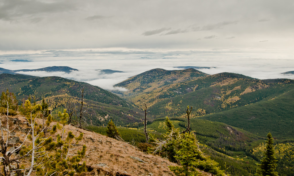
Sunset from Sherman Pass

Redhead camping

Sunset from Sherman Pass
view towards Curlew from the Mt Leona Trail
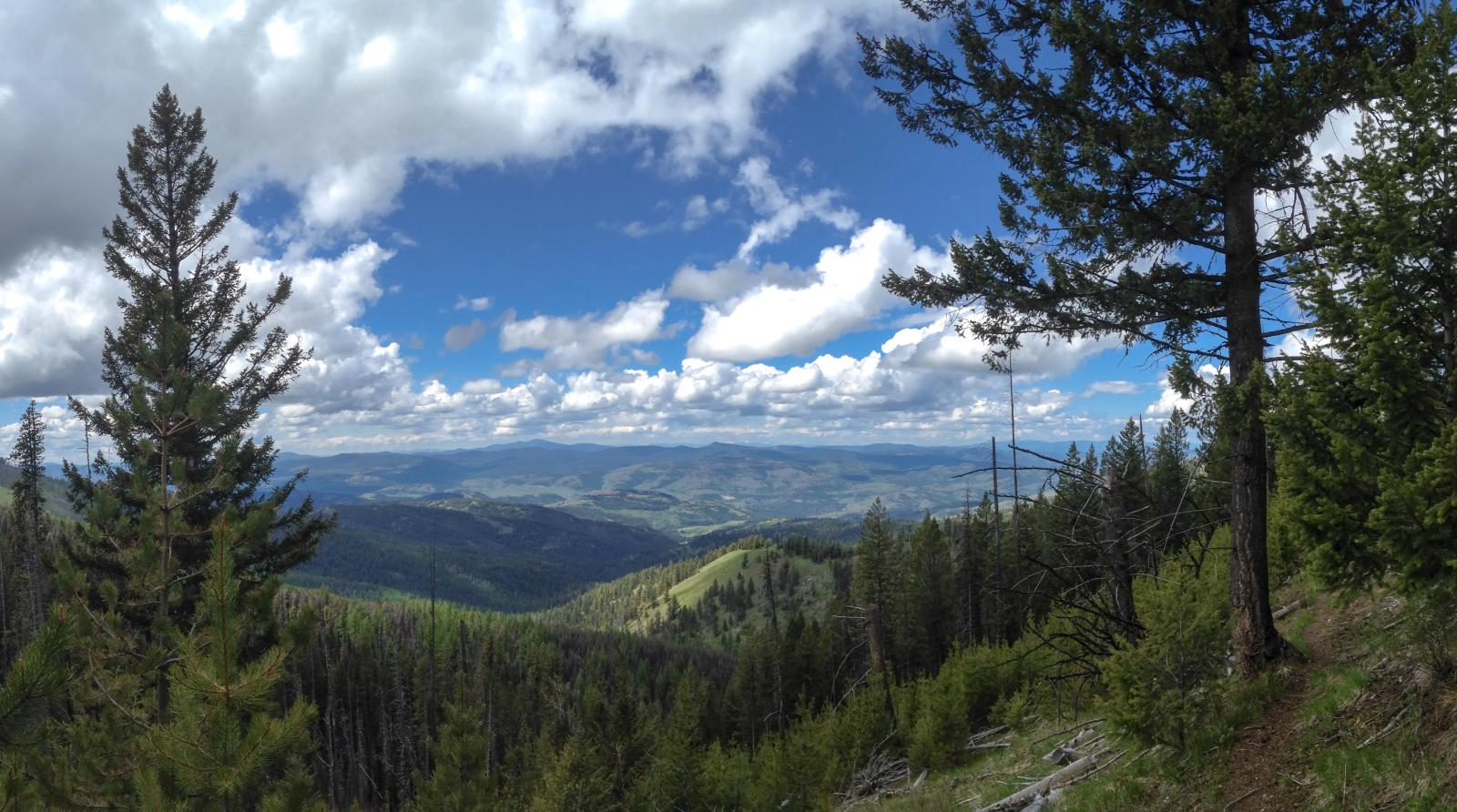
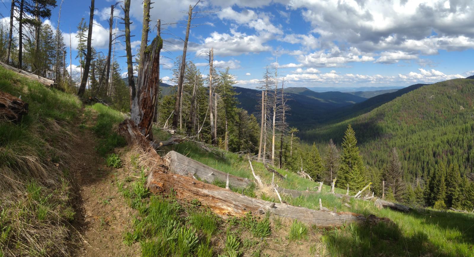
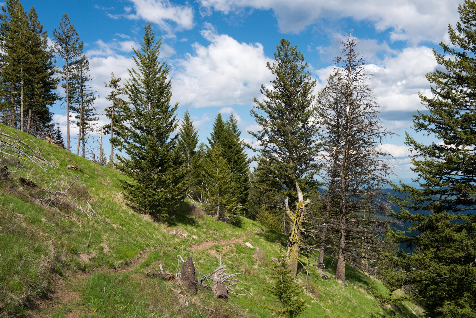
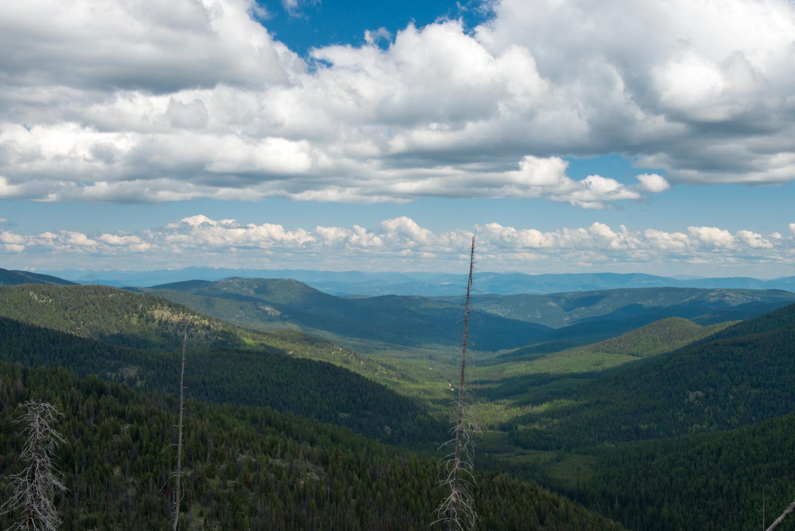
Copper Butte View
Rock View
View from the Lookout
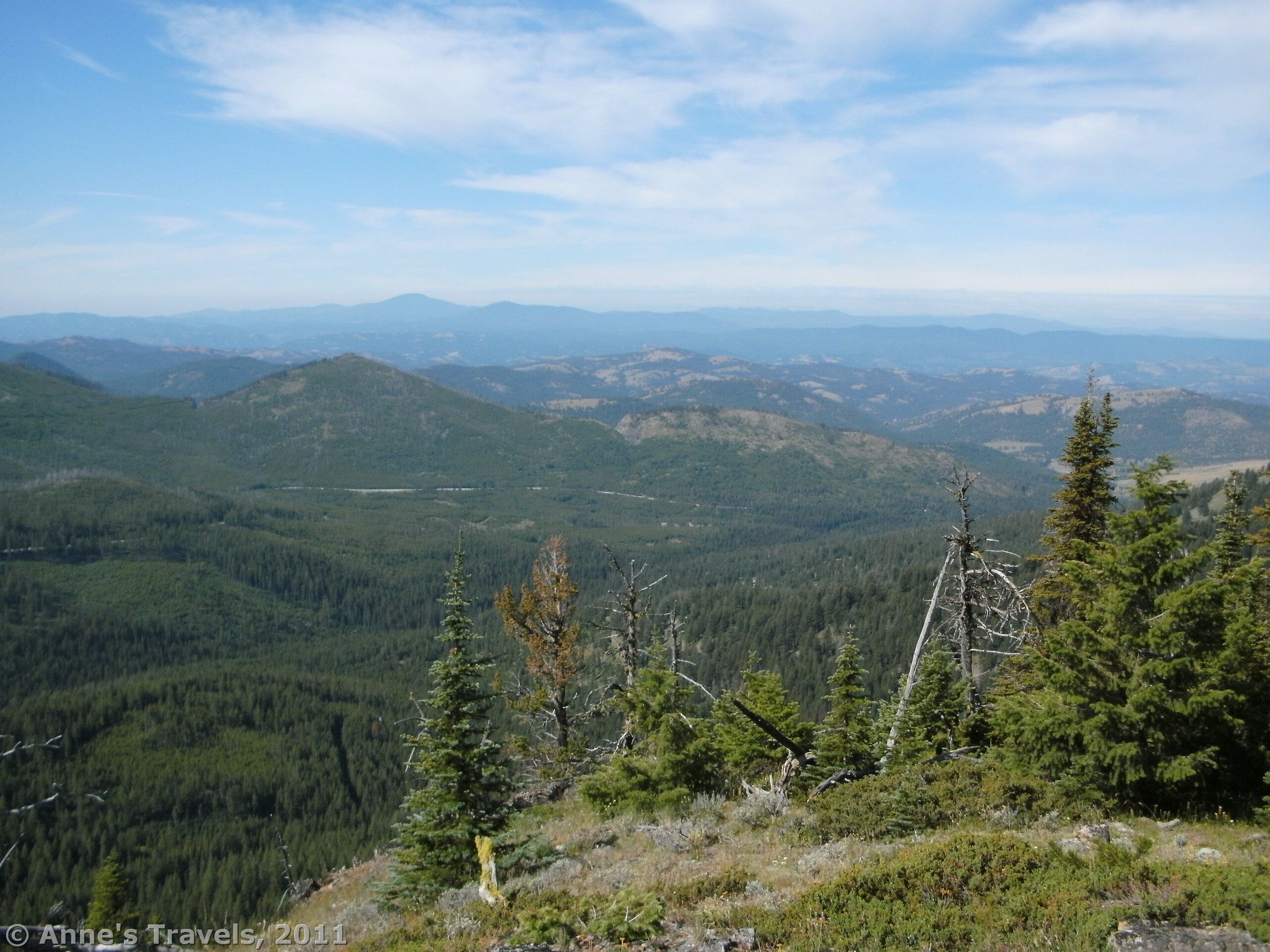
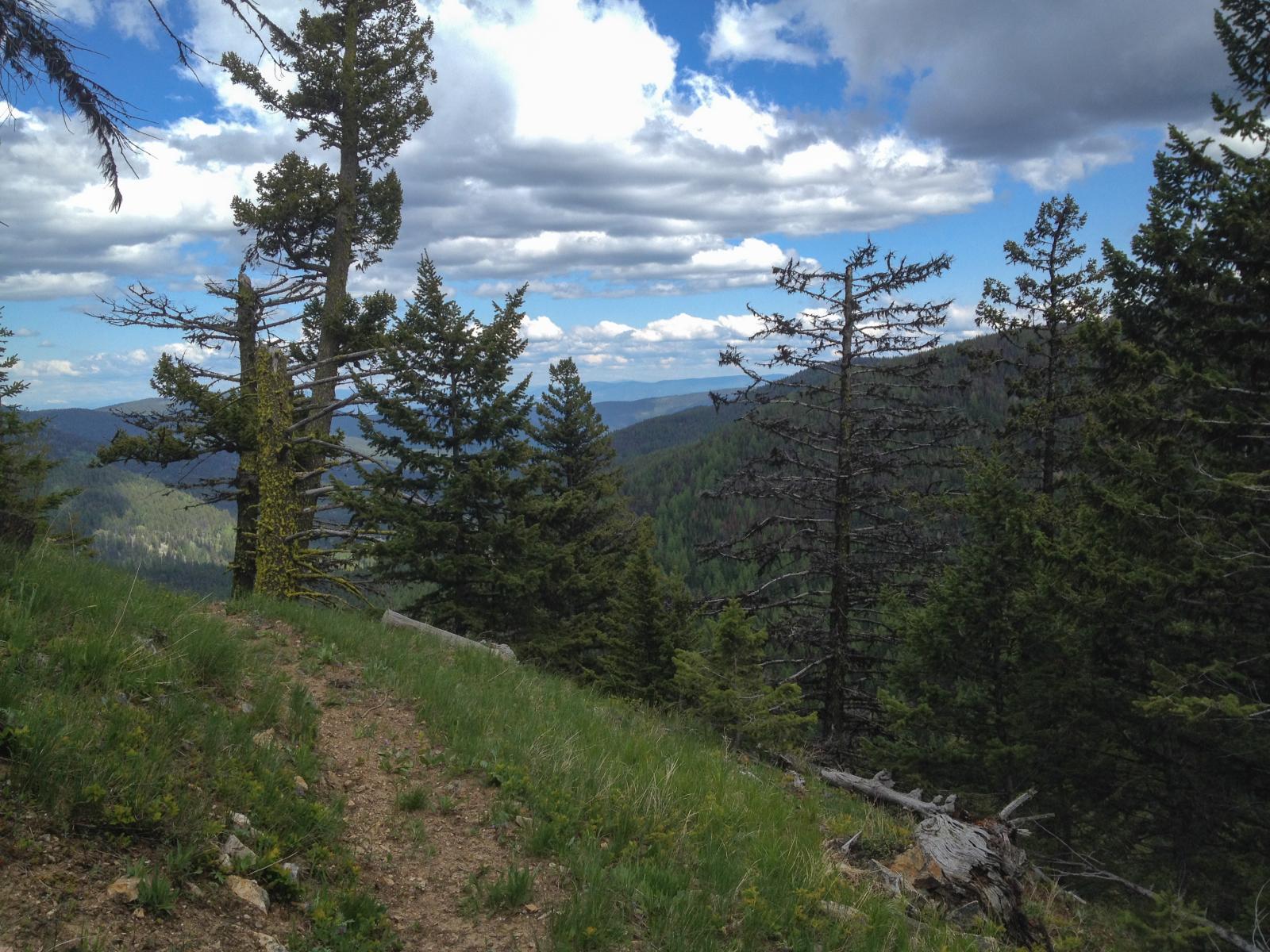
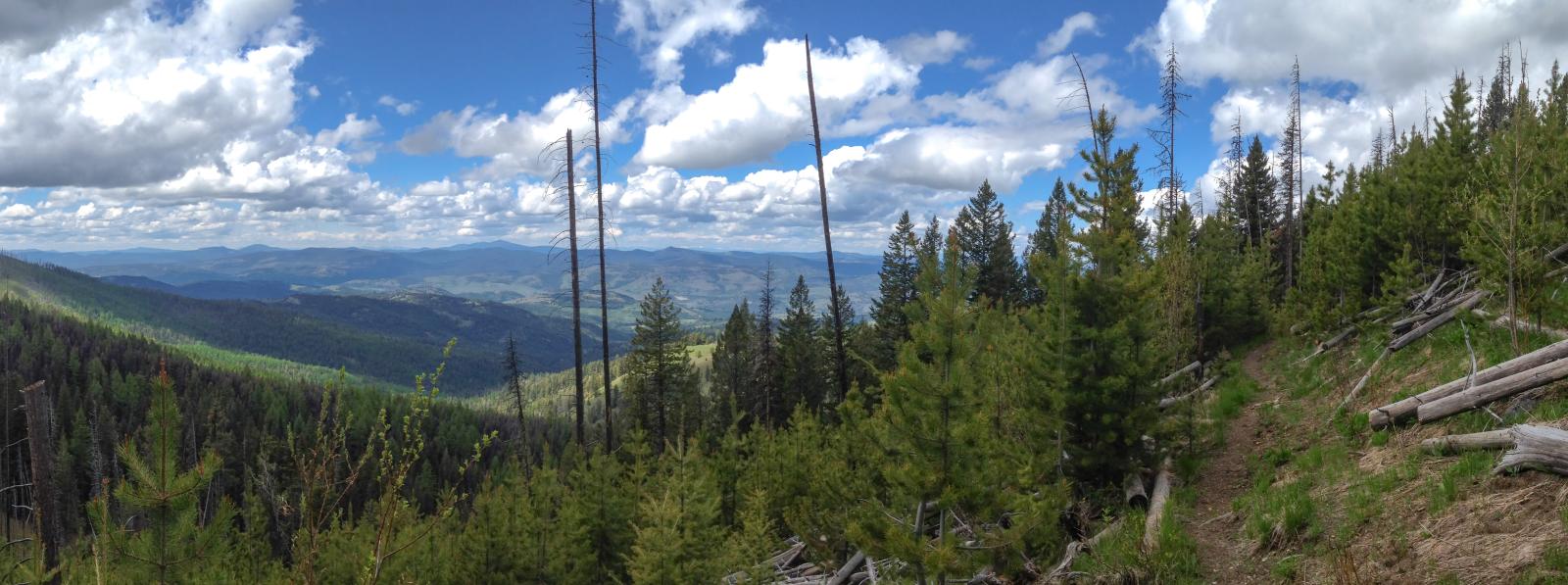
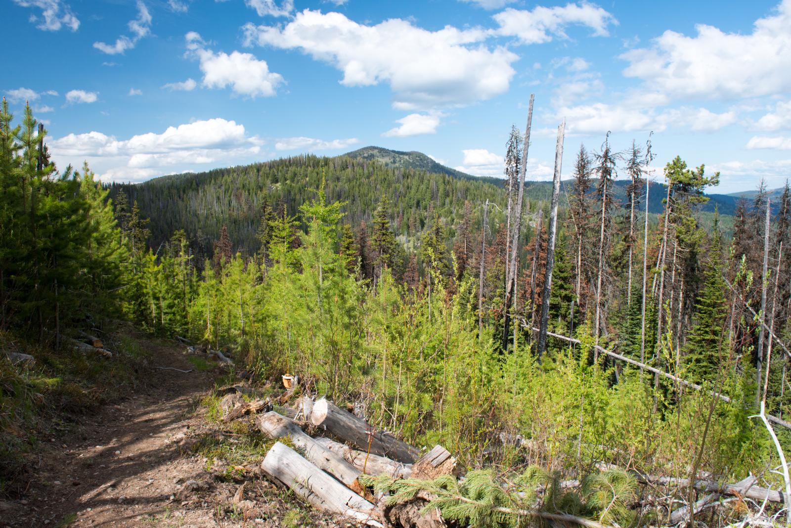
looking east down Boulder Creek from the Kettle Crest Trail near Stickpin Hill
The Pacific Northwest Trail on the Kettle Crest, Boulder Creek drainage in the distance
The Pacific Northwest Trail on the Kettle Crest near Ryan Hill
The Pacific Northwest Trail on the Kettle Crest near Stickpin Hill
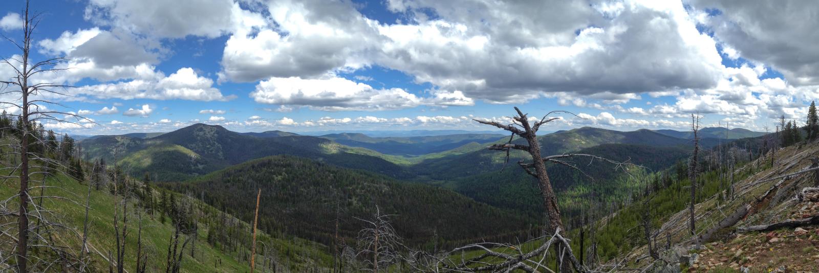
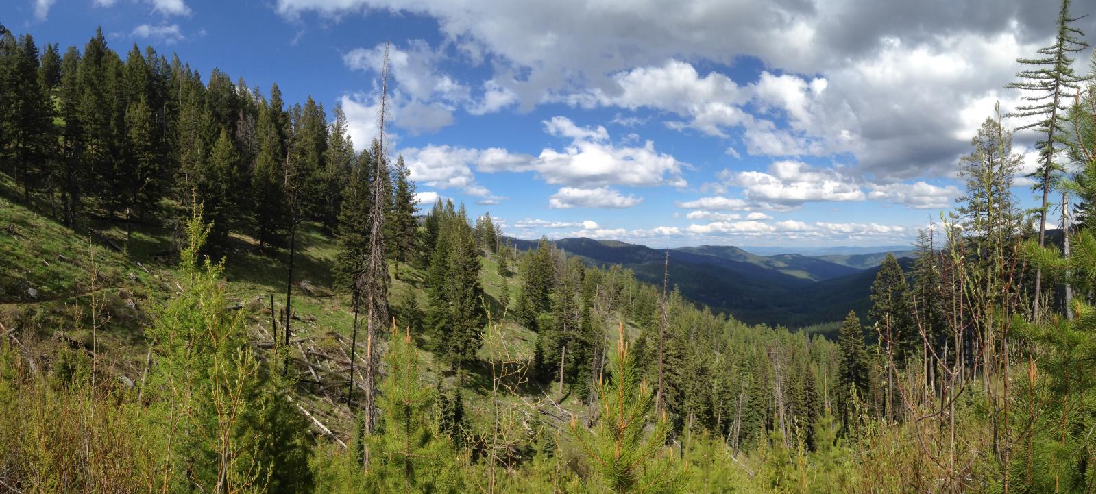
Boulder Creek panorama from the Pacific Northwest Trail on the Kettle Crest

Another Boulder Creek panorama from the Pacific Northwest Trail on the Kettle Crest
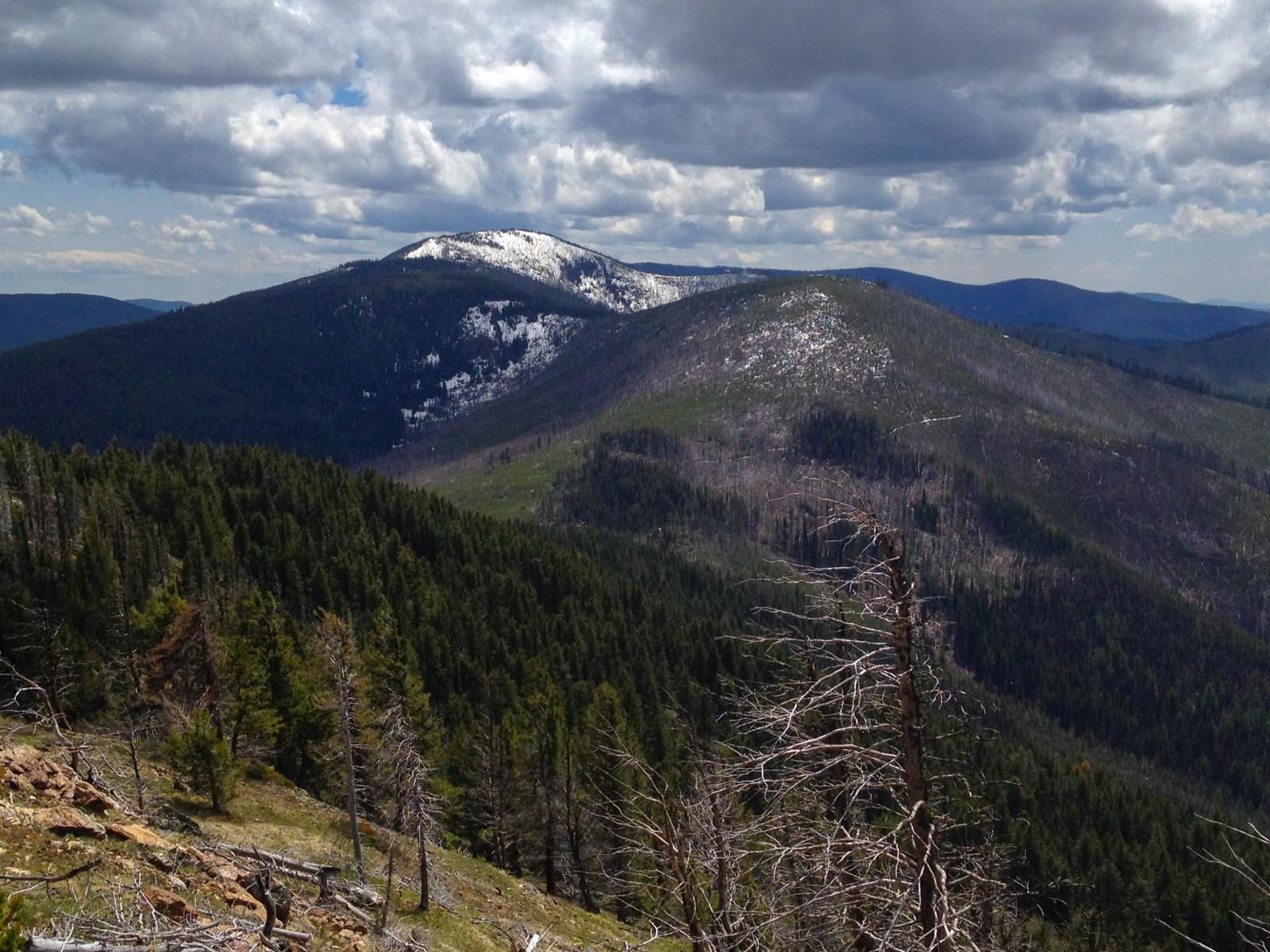
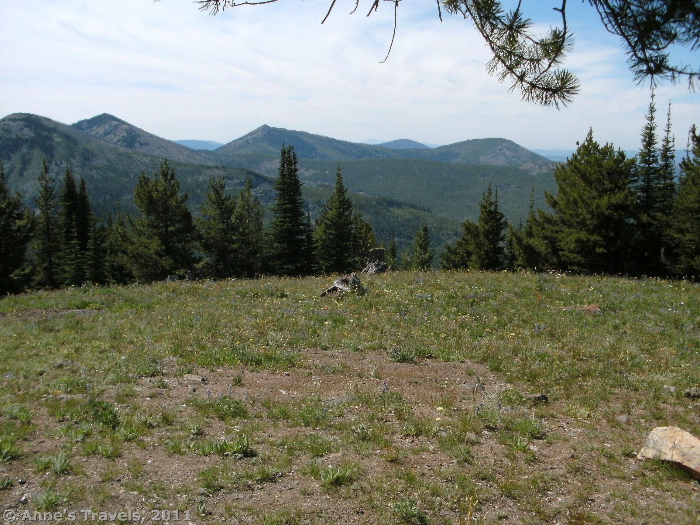
Lambert Mountain from the near the summit of Mt Leona

looking northwest from the Mt Leona Trail towards Curlew and Malo, Washington
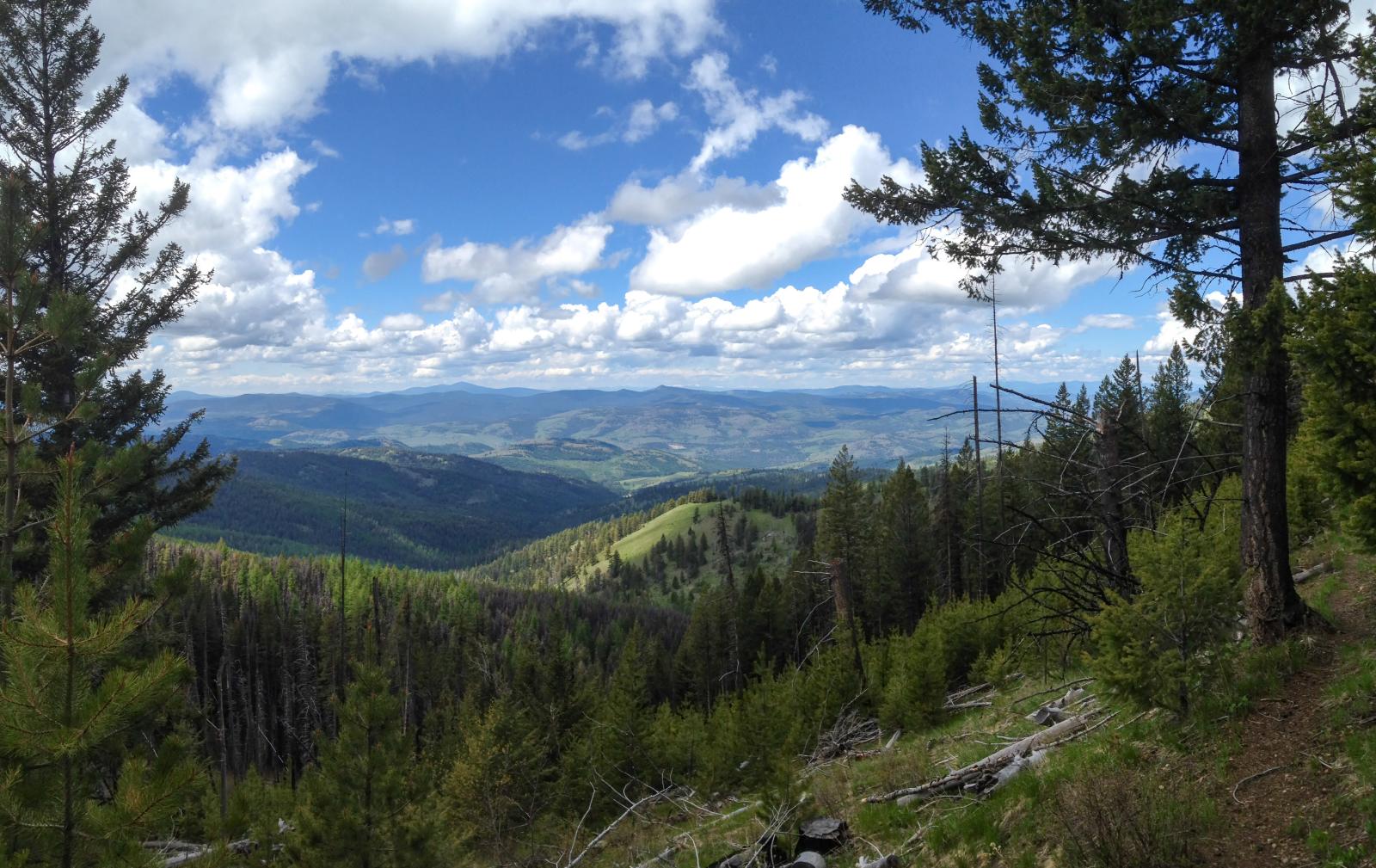
West side of the Kettle Crest from the Mt Leona Trail
Pacific Northwest Trail on the Kettle Crest near Mt Leona

Trailhead sign for Mt Leona

Kettle Crest panorama from the Pacific Northwest Trail near Ryan Hill

looking east down the Boulder Creek drainage from the Pacific Northwest Trail on the Kettle Crest
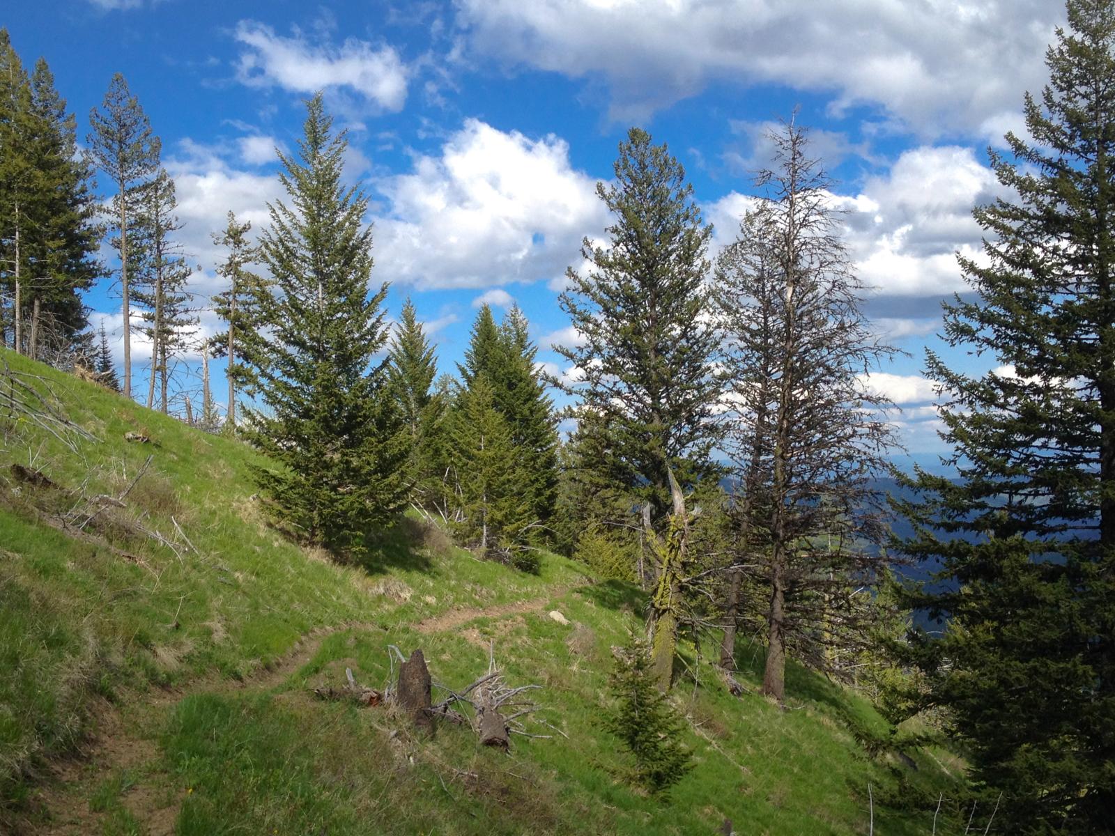
Pacific Northwest Trail on the Kettle Crest near Ryan Hill
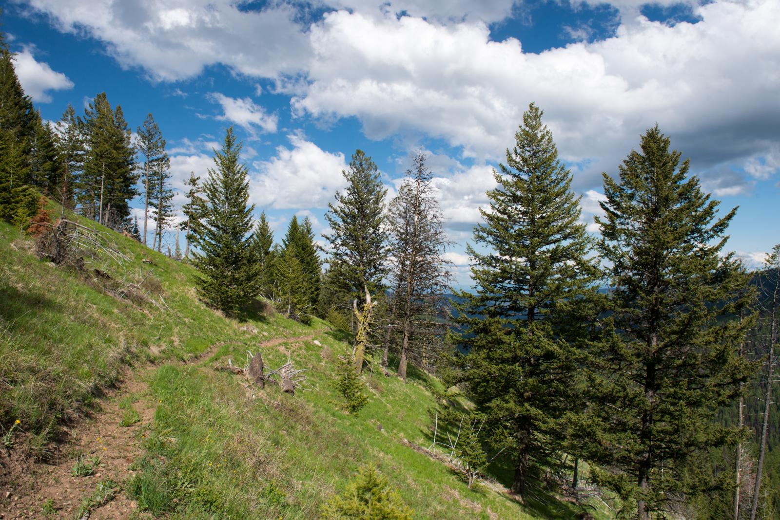
Pacific Northwest Trail on the Kettle Crest near Ryan Hill

Pacific Northwest Trail on the Kettle Crest near Mt Leona
looking north over Ryan Hill to Profanity Peak from the Pacific Northwest Trail near Ryan Hill
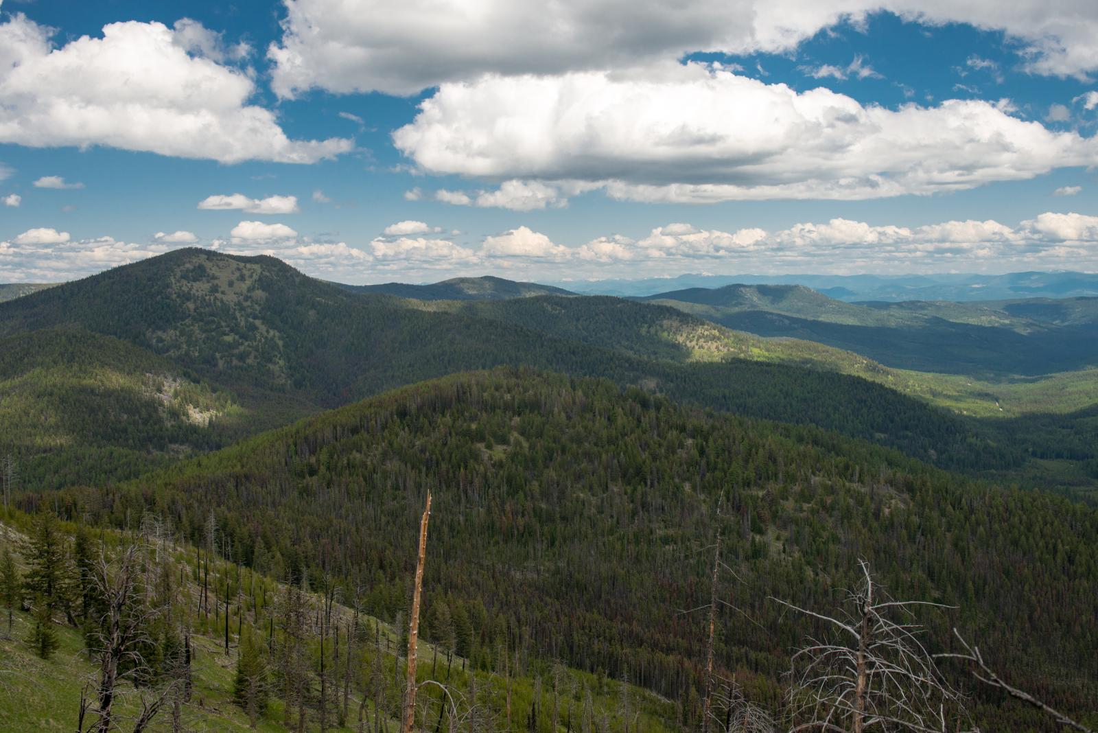
Ryan Hill, Profanity Peak, and the Boulder Creek drainage from the Pacific Northwest Trail near Ryan Hill
looking down Boulder Creek from the Kettle Crest
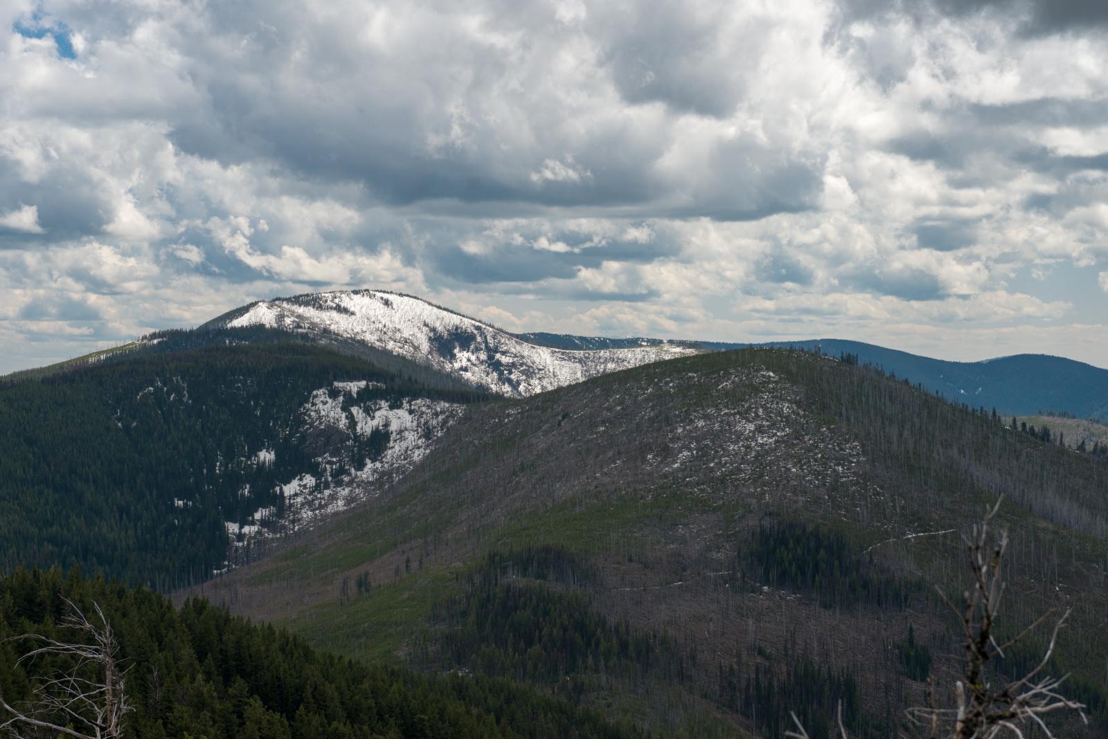
Snowy Lambert Mountain from the trail up to Mt Leona
Mapa de Copper Butte, Washington, EE. UU.
Buscar otro lugar
Lugares cercanos
Sherman Pass, Washington, EE. UU.
Graves Mountain, Washington, EE. UU.
11 Hamadryad Ln, Republic, WA, EE. UU.
Republic, Washington, EE. UU.
Malo, Washington, EE. UU.
Rocky Mountain, Danville, WA, EE. UU.
Marble Mountain, Danville, WA, EE. UU.
55 Fletcher Rd, Republic, WA, EE. UU.
Curlew, Washington, EE. UU.
Condado de Ferry, Washington, EE. UU.
Rincon Road, Rincon Rd, Washington, EE. UU.
54 Hardrock Rd, Republic, WA, EE. UU.
Jacknife Cutoff Road, Jacknife Cutoff Rd, Kettle Falls, WA, EE. UU.
7 Fagerlie Dr, Republic, WA, EE. UU.
Togo Mountain, Washington, EE. UU.
63 Bacon Creek Dr, Republic, WA, EE. UU.
Louisiana St, Republic, WA, EE. UU.
East Knob Hill Road, E Knob Hill Rd, Washington, EE. UU.
Republic, Washington, EE. UU.
Danville, Washington, EE. UU.
Búsquedas recientes
- Horas de salida y puesta de sol de Red Dog Mine, AK, USA
- Horas de salida y puesta de sol de Am Bahnhof, Am bhf, Borken, Germany
- Horas de salida y puesta de sol de 4th St E, Sonoma, CA, EE. UU.
- Horas de salida y puesta de sol de Oakland Ave, Williamsport, PA, EE. UU.
- Horas de salida y puesta de sol de Via Roma, Pieranica CR, Italia
- Horas de salida y puesta de sol de Torre del reloj, Grad, Dubrovnik (Ragusa), Croacia
- Horas de salida y puesta de sol de Trelew, Chubut, Argentina
- Horas de salida y puesta de sol de Hartfords Bluff Cir, Mt Pleasant, SC, EE. UU.
- Horas de salida y puesta de sol de Kita Ward, Kumamoto, Japón
- Horas de salida y puesta de sol de Pingtan Island, Pingtan County, Fuzhou, China