Horas de salida y puesta de sol de Checkerboard Dr, Gray Summit, MO, EE. UU.
Location: Estados Unidos > Misuri > Condado de Franklin > Boles Township > Gray Summit >
Zona horaria:
America/Chicago
Hora local:
2025-06-27 23:56:53
Longitud:
-90.8362485
Latitud:
38.4935448
Salida de sol de hoy:
05:41:57 AM
Puesta de sol de hoy:
08:31:38 PM
La duración del día hoy:
14h 49m 41s
Salida de sol de mañana:
05:42:22 AM
Puesta de sol de mañana:
08:31:36 PM
La duración del día mañana:
14h 49m 14s
Mostrar todas las fechas
| Fecha | Salida de sol | Puesta de sol | Duración del día |
|---|---|---|---|
| 01/01/2025 | 07:20:51 AM | 04:54:08 PM | 9h 33m 17s |
| 02/01/2025 | 07:20:55 AM | 04:54:59 PM | 9h 34m 4s |
| 03/01/2025 | 07:20:58 AM | 04:55:51 PM | 9h 34m 53s |
| 04/01/2025 | 07:20:58 AM | 04:56:44 PM | 9h 35m 46s |
| 05/01/2025 | 07:20:57 AM | 04:57:38 PM | 9h 36m 41s |
| 06/01/2025 | 07:20:53 AM | 04:58:34 PM | 9h 37m 41s |
| 07/01/2025 | 07:20:47 AM | 04:59:30 PM | 9h 38m 43s |
| 08/01/2025 | 07:20:39 AM | 05:00:28 PM | 9h 39m 49s |
| 09/01/2025 | 07:20:29 AM | 05:01:27 PM | 9h 40m 58s |
| 10/01/2025 | 07:20:16 AM | 05:02:26 PM | 9h 42m 10s |
| 11/01/2025 | 07:20:02 AM | 05:03:27 PM | 9h 43m 25s |
| 12/01/2025 | 07:19:46 AM | 05:04:28 PM | 9h 44m 42s |
| 13/01/2025 | 07:19:27 AM | 05:05:30 PM | 9h 46m 3s |
| 14/01/2025 | 07:19:06 AM | 05:06:33 PM | 9h 47m 27s |
| 15/01/2025 | 07:18:44 AM | 05:07:37 PM | 9h 48m 53s |
| 16/01/2025 | 07:18:19 AM | 05:08:41 PM | 9h 50m 22s |
| 17/01/2025 | 07:17:52 AM | 05:09:46 PM | 9h 51m 54s |
| 18/01/2025 | 07:17:24 AM | 05:10:52 PM | 9h 53m 28s |
| 19/01/2025 | 07:16:53 AM | 05:11:58 PM | 9h 55m 5s |
| 20/01/2025 | 07:16:20 AM | 05:13:04 PM | 9h 56m 44s |
| 21/01/2025 | 07:15:46 AM | 05:14:11 PM | 9h 58m 25s |
| 22/01/2025 | 07:15:09 AM | 05:15:18 PM | 10h 0m 9s |
| 23/01/2025 | 07:14:31 AM | 05:16:25 PM | 10h 1m 54s |
| 24/01/2025 | 07:13:50 AM | 05:17:33 PM | 10h 3m 43s |
| 25/01/2025 | 07:13:08 AM | 05:18:41 PM | 10h 5m 33s |
| 26/01/2025 | 07:12:24 AM | 05:19:49 PM | 10h 7m 25s |
| 27/01/2025 | 07:11:39 AM | 05:20:58 PM | 10h 9m 19s |
| 28/01/2025 | 07:10:51 AM | 05:22:06 PM | 10h 11m 15s |
| 29/01/2025 | 07:10:02 AM | 05:23:15 PM | 10h 13m 13s |
| 30/01/2025 | 07:09:11 AM | 05:24:23 PM | 10h 15m 12s |
| 31/01/2025 | 07:08:19 AM | 05:25:32 PM | 10h 17m 13s |
| 01/02/2025 | 07:07:25 AM | 05:26:41 PM | 10h 19m 16s |
| 02/02/2025 | 07:06:29 AM | 05:27:49 PM | 10h 21m 20s |
| 03/02/2025 | 07:05:32 AM | 05:28:58 PM | 10h 23m 26s |
| 04/02/2025 | 07:04:33 AM | 05:30:06 PM | 10h 25m 33s |
| 05/02/2025 | 07:03:33 AM | 05:31:15 PM | 10h 27m 42s |
| 06/02/2025 | 07:02:31 AM | 05:32:23 PM | 10h 29m 52s |
| 07/02/2025 | 07:01:28 AM | 05:33:31 PM | 10h 32m 3s |
| 08/02/2025 | 07:00:23 AM | 05:34:39 PM | 10h 34m 16s |
| 09/02/2025 | 06:59:17 AM | 05:35:47 PM | 10h 36m 30s |
| 10/02/2025 | 06:58:10 AM | 05:36:54 PM | 10h 38m 44s |
| 11/02/2025 | 06:57:01 AM | 05:38:02 PM | 10h 41m 1s |
| 12/02/2025 | 06:55:51 AM | 05:39:09 PM | 10h 43m 18s |
| 13/02/2025 | 06:54:40 AM | 05:40:15 PM | 10h 45m 35s |
| 14/02/2025 | 06:53:28 AM | 05:41:22 PM | 10h 47m 54s |
| 15/02/2025 | 06:52:14 AM | 05:42:28 PM | 10h 50m 14s |
| 16/02/2025 | 06:51:00 AM | 05:43:34 PM | 10h 52m 34s |
| 17/02/2025 | 06:49:44 AM | 05:44:40 PM | 10h 54m 56s |
| 18/02/2025 | 06:48:28 AM | 05:45:45 PM | 10h 57m 17s |
| 19/02/2025 | 06:47:10 AM | 05:46:50 PM | 10h 59m 40s |
| 20/02/2025 | 06:45:51 AM | 05:47:55 PM | 11h 2m 4s |
| 21/02/2025 | 06:44:31 AM | 05:48:59 PM | 11h 4m 28s |
| 22/02/2025 | 06:43:11 AM | 05:50:04 PM | 11h 6m 53s |
| 23/02/2025 | 06:41:49 AM | 05:51:07 PM | 11h 9m 18s |
| 24/02/2025 | 06:40:27 AM | 05:52:11 PM | 11h 11m 44s |
| 25/02/2025 | 06:39:04 AM | 05:53:14 PM | 11h 14m 10s |
| 26/02/2025 | 06:37:40 AM | 05:54:17 PM | 11h 16m 37s |
| 27/02/2025 | 06:36:15 AM | 05:55:20 PM | 11h 19m 5s |
| 28/02/2025 | 06:34:50 AM | 05:56:22 PM | 11h 21m 32s |
| 01/03/2025 | 06:33:24 AM | 05:57:24 PM | 11h 24m 0s |
| 02/03/2025 | 06:31:57 AM | 05:58:25 PM | 11h 26m 28s |
| 03/03/2025 | 06:30:29 AM | 05:59:27 PM | 11h 28m 58s |
| 04/03/2025 | 06:29:01 AM | 06:00:28 PM | 11h 31m 27s |
| 05/03/2025 | 06:27:33 AM | 06:01:29 PM | 11h 33m 56s |
| 06/03/2025 | 06:26:04 AM | 06:02:29 PM | 11h 36m 25s |
| 07/03/2025 | 06:24:34 AM | 06:03:29 PM | 11h 38m 55s |
| 08/03/2025 | 06:23:04 AM | 06:04:29 PM | 11h 41m 25s |
| 09/03/2025 | 07:21:37 AM | 07:05:27 PM | 11h 43m 50s |
| 10/03/2025 | 07:20:07 AM | 07:06:26 PM | 11h 46m 19s |
| 11/03/2025 | 07:18:35 AM | 07:07:25 PM | 11h 48m 50s |
| 12/03/2025 | 07:17:04 AM | 07:08:24 PM | 11h 51m 20s |
| 13/03/2025 | 07:15:32 AM | 07:09:23 PM | 11h 53m 51s |
| 14/03/2025 | 07:14:00 AM | 07:10:22 PM | 11h 56m 22s |
| 15/03/2025 | 07:12:27 AM | 07:11:20 PM | 11h 58m 53s |
| 16/03/2025 | 07:10:55 AM | 07:12:19 PM | 12h 1m 24s |
| 17/03/2025 | 07:09:22 AM | 07:13:17 PM | 12h 3m 55s |
| 18/03/2025 | 07:07:49 AM | 07:14:15 PM | 12h 6m 26s |
| 19/03/2025 | 07:06:16 AM | 07:15:12 PM | 12h 8m 56s |
| 20/03/2025 | 07:04:42 AM | 07:16:10 PM | 12h 11m 28s |
| 21/03/2025 | 07:03:09 AM | 07:17:07 PM | 12h 13m 58s |
| 22/03/2025 | 07:01:36 AM | 07:18:05 PM | 12h 16m 29s |
| 23/03/2025 | 07:00:03 AM | 07:19:02 PM | 12h 18m 59s |
| 24/03/2025 | 06:58:29 AM | 07:19:59 PM | 12h 21m 30s |
| 25/03/2025 | 06:56:56 AM | 07:20:56 PM | 12h 24m 0s |
| 26/03/2025 | 06:55:23 AM | 07:21:53 PM | 12h 26m 30s |
| 27/03/2025 | 06:53:50 AM | 07:22:50 PM | 12h 29m 0s |
| 28/03/2025 | 06:52:17 AM | 07:23:47 PM | 12h 31m 30s |
| 29/03/2025 | 06:50:44 AM | 07:24:43 PM | 12h 33m 59s |
| 30/03/2025 | 06:49:12 AM | 07:25:40 PM | 12h 36m 28s |
| 31/03/2025 | 06:47:39 AM | 07:26:37 PM | 12h 38m 58s |
| 01/04/2025 | 06:46:07 AM | 07:27:34 PM | 12h 41m 27s |
| 02/04/2025 | 06:44:35 AM | 07:28:30 PM | 12h 43m 55s |
| 03/04/2025 | 06:43:04 AM | 07:29:27 PM | 12h 46m 23s |
| 04/04/2025 | 06:41:33 AM | 07:30:23 PM | 12h 48m 50s |
| 05/04/2025 | 06:40:02 AM | 07:31:20 PM | 12h 51m 18s |
| 06/04/2025 | 06:38:32 AM | 07:32:17 PM | 12h 53m 45s |
| 07/04/2025 | 06:37:02 AM | 07:33:13 PM | 12h 56m 11s |
| 08/04/2025 | 06:35:33 AM | 07:34:10 PM | 12h 58m 37s |
| 09/04/2025 | 06:34:04 AM | 07:35:07 PM | 13h 1m 3s |
| 10/04/2025 | 06:32:36 AM | 07:36:03 PM | 13h 3m 27s |
| 11/04/2025 | 06:31:08 AM | 07:37:00 PM | 13h 5m 52s |
| 12/04/2025 | 06:29:41 AM | 07:37:57 PM | 13h 8m 16s |
| 13/04/2025 | 06:28:14 AM | 07:38:54 PM | 13h 10m 40s |
| 14/04/2025 | 06:26:48 AM | 07:39:51 PM | 13h 13m 3s |
| 15/04/2025 | 06:25:23 AM | 07:40:48 PM | 13h 15m 25s |
| 16/04/2025 | 06:23:58 AM | 07:41:44 PM | 13h 17m 46s |
| 17/04/2025 | 06:22:35 AM | 07:42:41 PM | 13h 20m 6s |
| 18/04/2025 | 06:21:12 AM | 07:43:38 PM | 13h 22m 26s |
| 19/04/2025 | 06:19:49 AM | 07:44:35 PM | 13h 24m 46s |
| 20/04/2025 | 06:18:28 AM | 07:45:32 PM | 13h 27m 4s |
| 21/04/2025 | 06:17:08 AM | 07:46:30 PM | 13h 29m 22s |
| 22/04/2025 | 06:15:48 AM | 07:47:27 PM | 13h 31m 39s |
| 23/04/2025 | 06:14:29 AM | 07:48:24 PM | 13h 33m 55s |
| 24/04/2025 | 06:13:12 AM | 07:49:21 PM | 13h 36m 9s |
| 25/04/2025 | 06:11:55 AM | 07:50:18 PM | 13h 38m 23s |
| 26/04/2025 | 06:10:39 AM | 07:51:15 PM | 13h 40m 36s |
| 27/04/2025 | 06:09:25 AM | 07:52:12 PM | 13h 42m 47s |
| 28/04/2025 | 06:08:11 AM | 07:53:09 PM | 13h 44m 58s |
| 29/04/2025 | 06:06:59 AM | 07:54:06 PM | 13h 47m 7s |
| 30/04/2025 | 06:05:47 AM | 07:55:03 PM | 13h 49m 16s |
| 01/05/2025 | 06:04:37 AM | 07:55:59 PM | 13h 51m 22s |
| 02/05/2025 | 06:03:28 AM | 07:56:56 PM | 13h 53m 28s |
| 03/05/2025 | 06:02:21 AM | 07:57:52 PM | 13h 55m 31s |
| 04/05/2025 | 06:01:14 AM | 07:58:49 PM | 13h 57m 35s |
| 05/05/2025 | 06:00:09 AM | 07:59:45 PM | 13h 59m 36s |
| 06/05/2025 | 05:59:05 AM | 08:00:41 PM | 14h 1m 36s |
| 07/05/2025 | 05:58:03 AM | 08:01:37 PM | 14h 3m 34s |
| 08/05/2025 | 05:57:02 AM | 08:02:32 PM | 14h 5m 30s |
| 09/05/2025 | 05:56:02 AM | 08:03:28 PM | 14h 7m 26s |
| 10/05/2025 | 05:55:04 AM | 08:04:23 PM | 14h 9m 19s |
| 11/05/2025 | 05:54:07 AM | 08:05:18 PM | 14h 11m 11s |
| 12/05/2025 | 05:53:11 AM | 08:06:12 PM | 14h 13m 1s |
| 13/05/2025 | 05:52:17 AM | 08:07:06 PM | 14h 14m 49s |
| 14/05/2025 | 05:51:25 AM | 08:08:00 PM | 14h 16m 35s |
| 15/05/2025 | 05:50:34 AM | 08:08:53 PM | 14h 18m 19s |
| 16/05/2025 | 05:49:45 AM | 08:09:45 PM | 14h 20m 0s |
| 17/05/2025 | 05:48:58 AM | 08:10:38 PM | 14h 21m 40s |
| 18/05/2025 | 05:48:12 AM | 08:11:29 PM | 14h 23m 17s |
| 19/05/2025 | 05:47:27 AM | 08:12:21 PM | 14h 24m 54s |
| 20/05/2025 | 05:46:45 AM | 08:13:11 PM | 14h 26m 26s |
| 21/05/2025 | 05:46:04 AM | 08:14:01 PM | 14h 27m 57s |
| 22/05/2025 | 05:45:24 AM | 08:14:50 PM | 14h 29m 26s |
| 23/05/2025 | 05:44:47 AM | 08:15:39 PM | 14h 30m 52s |
| 24/05/2025 | 05:44:11 AM | 08:16:27 PM | 14h 32m 16s |
| 25/05/2025 | 05:43:37 AM | 08:17:14 PM | 14h 33m 37s |
| 26/05/2025 | 05:43:05 AM | 08:18:00 PM | 14h 34m 55s |
| 27/05/2025 | 05:42:34 AM | 08:18:45 PM | 14h 36m 11s |
| 28/05/2025 | 05:42:06 AM | 08:19:30 PM | 14h 37m 24s |
| 29/05/2025 | 05:41:39 AM | 08:20:13 PM | 14h 38m 34s |
| 30/05/2025 | 05:41:14 AM | 08:20:56 PM | 14h 39m 42s |
| 31/05/2025 | 05:40:51 AM | 08:21:37 PM | 14h 40m 46s |
| 01/06/2025 | 05:40:29 AM | 08:22:18 PM | 14h 41m 49s |
| 02/06/2025 | 05:40:10 AM | 08:22:57 PM | 14h 42m 47s |
| 03/06/2025 | 05:39:52 AM | 08:23:35 PM | 14h 43m 43s |
| 04/06/2025 | 05:39:36 AM | 08:24:12 PM | 14h 44m 36s |
| 05/06/2025 | 05:39:22 AM | 08:24:48 PM | 14h 45m 26s |
| 06/06/2025 | 05:39:10 AM | 08:25:23 PM | 14h 46m 13s |
| 07/06/2025 | 05:39:00 AM | 08:25:56 PM | 14h 46m 56s |
| 08/06/2025 | 05:38:51 AM | 08:26:28 PM | 14h 47m 37s |
| 09/06/2025 | 05:38:45 AM | 08:26:58 PM | 14h 48m 13s |
| 10/06/2025 | 05:38:40 AM | 08:27:28 PM | 14h 48m 48s |
| 11/06/2025 | 05:38:37 AM | 08:27:55 PM | 14h 49m 18s |
| 12/06/2025 | 05:38:36 AM | 08:28:21 PM | 14h 49m 45s |
| 13/06/2025 | 05:38:37 AM | 08:28:46 PM | 14h 50m 9s |
| 14/06/2025 | 05:38:39 AM | 08:29:09 PM | 14h 50m 30s |
| 15/06/2025 | 05:38:43 AM | 08:29:31 PM | 14h 50m 48s |
| 16/06/2025 | 05:38:49 AM | 08:29:51 PM | 14h 51m 2s |
| 17/06/2025 | 05:38:57 AM | 08:30:09 PM | 14h 51m 12s |
| 18/06/2025 | 05:39:07 AM | 08:30:26 PM | 14h 51m 19s |
| 19/06/2025 | 05:39:18 AM | 08:30:41 PM | 14h 51m 23s |
| 20/06/2025 | 05:39:31 AM | 08:30:54 PM | 14h 51m 23s |
| 21/06/2025 | 05:39:45 AM | 08:31:06 PM | 14h 51m 21s |
| 22/06/2025 | 05:40:01 AM | 08:31:16 PM | 14h 51m 15s |
| 23/06/2025 | 05:40:19 AM | 08:31:24 PM | 14h 51m 5s |
| 24/06/2025 | 05:40:38 AM | 08:31:30 PM | 14h 50m 52s |
| 25/06/2025 | 05:40:59 AM | 08:31:34 PM | 14h 50m 35s |
| 26/06/2025 | 05:41:21 AM | 08:31:37 PM | 14h 50m 16s |
| 27/06/2025 | 05:41:45 AM | 08:31:38 PM | 14h 49m 53s |
| 28/06/2025 | 05:42:10 AM | 08:31:37 PM | 14h 49m 27s |
| 29/06/2025 | 05:42:37 AM | 08:31:34 PM | 14h 48m 57s |
| 30/06/2025 | 05:43:05 AM | 08:31:29 PM | 14h 48m 24s |
| 01/07/2025 | 05:43:34 AM | 08:31:22 PM | 14h 47m 48s |
| 02/07/2025 | 05:44:05 AM | 08:31:14 PM | 14h 47m 9s |
| 03/07/2025 | 05:44:37 AM | 08:31:03 PM | 14h 46m 26s |
| 04/07/2025 | 05:45:10 AM | 08:30:51 PM | 14h 45m 41s |
| 05/07/2025 | 05:45:45 AM | 08:30:36 PM | 14h 44m 51s |
| 06/07/2025 | 05:46:20 AM | 08:30:20 PM | 14h 44m 0s |
| 07/07/2025 | 05:46:57 AM | 08:30:02 PM | 14h 43m 5s |
| 08/07/2025 | 05:47:35 AM | 08:29:42 PM | 14h 42m 7s |
| 09/07/2025 | 05:48:13 AM | 08:29:21 PM | 14h 41m 8s |
| 10/07/2025 | 05:48:53 AM | 08:28:57 PM | 14h 40m 4s |
| 11/07/2025 | 05:49:34 AM | 08:28:31 PM | 14h 38m 57s |
| 12/07/2025 | 05:50:15 AM | 08:28:04 PM | 14h 37m 49s |
| 13/07/2025 | 05:50:58 AM | 08:27:35 PM | 14h 36m 37s |
| 14/07/2025 | 05:51:41 AM | 08:27:04 PM | 14h 35m 23s |
| 15/07/2025 | 05:52:25 AM | 08:26:31 PM | 14h 34m 6s |
| 16/07/2025 | 05:53:10 AM | 08:25:56 PM | 14h 32m 46s |
| 17/07/2025 | 05:53:56 AM | 08:25:19 PM | 14h 31m 23s |
| 18/07/2025 | 05:54:42 AM | 08:24:41 PM | 14h 29m 59s |
| 19/07/2025 | 05:55:29 AM | 08:24:01 PM | 14h 28m 32s |
| 20/07/2025 | 05:56:17 AM | 08:23:19 PM | 14h 27m 2s |
| 21/07/2025 | 05:57:05 AM | 08:22:36 PM | 14h 25m 31s |
| 22/07/2025 | 05:57:54 AM | 08:21:51 PM | 14h 23m 57s |
| 23/07/2025 | 05:58:43 AM | 08:21:04 PM | 14h 22m 21s |
| 24/07/2025 | 05:59:32 AM | 08:20:15 PM | 14h 20m 43s |
| 25/07/2025 | 06:00:22 AM | 08:19:25 PM | 14h 19m 3s |
| 26/07/2025 | 06:01:13 AM | 08:18:34 PM | 14h 17m 21s |
| 27/07/2025 | 06:02:04 AM | 08:17:40 PM | 14h 15m 36s |
| 28/07/2025 | 06:02:55 AM | 08:16:46 PM | 14h 13m 51s |
| 29/07/2025 | 06:03:46 AM | 08:15:49 PM | 14h 12m 3s |
| 30/07/2025 | 06:04:38 AM | 08:14:51 PM | 14h 10m 13s |
| 31/07/2025 | 06:05:30 AM | 08:13:52 PM | 14h 8m 22s |
| 01/08/2025 | 06:06:22 AM | 08:12:51 PM | 14h 6m 29s |
| 02/08/2025 | 06:07:15 AM | 08:11:49 PM | 14h 4m 34s |
| 03/08/2025 | 06:08:08 AM | 08:10:45 PM | 14h 2m 37s |
| 04/08/2025 | 06:09:00 AM | 08:09:40 PM | 14h 0m 40s |
| 05/08/2025 | 06:09:53 AM | 08:08:34 PM | 13h 58m 41s |
| 06/08/2025 | 06:10:46 AM | 08:07:26 PM | 13h 56m 40s |
| 07/08/2025 | 06:11:40 AM | 08:06:18 PM | 13h 54m 38s |
| 08/08/2025 | 06:12:33 AM | 08:05:07 PM | 13h 52m 34s |
| 09/08/2025 | 06:13:26 AM | 08:03:56 PM | 13h 50m 30s |
| 10/08/2025 | 06:14:20 AM | 08:02:44 PM | 13h 48m 24s |
| 11/08/2025 | 06:15:13 AM | 08:01:30 PM | 13h 46m 17s |
| 12/08/2025 | 06:16:06 AM | 08:00:15 PM | 13h 44m 9s |
| 13/08/2025 | 06:17:00 AM | 07:58:59 PM | 13h 41m 59s |
| 14/08/2025 | 06:17:53 AM | 07:57:42 PM | 13h 39m 49s |
| 15/08/2025 | 06:18:47 AM | 07:56:24 PM | 13h 37m 37s |
| 16/08/2025 | 06:19:40 AM | 07:55:05 PM | 13h 35m 25s |
| 17/08/2025 | 06:20:33 AM | 07:53:45 PM | 13h 33m 12s |
| 18/08/2025 | 06:21:27 AM | 07:52:24 PM | 13h 30m 57s |
| 19/08/2025 | 06:22:20 AM | 07:51:02 PM | 13h 28m 42s |
| 20/08/2025 | 06:23:13 AM | 07:49:39 PM | 13h 26m 26s |
| 21/08/2025 | 06:24:06 AM | 07:48:16 PM | 13h 24m 10s |
| 22/08/2025 | 06:24:59 AM | 07:46:51 PM | 13h 21m 52s |
| 23/08/2025 | 06:25:52 AM | 07:45:26 PM | 13h 19m 34s |
| 24/08/2025 | 06:26:45 AM | 07:44:00 PM | 13h 17m 15s |
| 25/08/2025 | 06:27:38 AM | 07:42:33 PM | 13h 14m 55s |
| 26/08/2025 | 06:28:31 AM | 07:41:06 PM | 13h 12m 35s |
| 27/08/2025 | 06:29:24 AM | 07:39:38 PM | 13h 10m 14s |
| 28/08/2025 | 06:30:16 AM | 07:38:09 PM | 13h 7m 53s |
| 29/08/2025 | 06:31:09 AM | 07:36:39 PM | 13h 5m 30s |
| 30/08/2025 | 06:32:02 AM | 07:35:09 PM | 13h 3m 7s |
| 31/08/2025 | 06:32:54 AM | 07:33:39 PM | 13h 0m 45s |
| 01/09/2025 | 06:33:47 AM | 07:32:08 PM | 12h 58m 21s |
| 02/09/2025 | 06:34:39 AM | 07:30:36 PM | 12h 55m 57s |
| 03/09/2025 | 06:35:31 AM | 07:29:04 PM | 12h 53m 33s |
| 04/09/2025 | 06:36:24 AM | 07:27:32 PM | 12h 51m 8s |
| 05/09/2025 | 06:37:16 AM | 07:25:59 PM | 12h 48m 43s |
| 06/09/2025 | 06:38:08 AM | 07:24:26 PM | 12h 46m 18s |
| 07/09/2025 | 06:39:01 AM | 07:22:52 PM | 12h 43m 51s |
| 08/09/2025 | 06:39:53 AM | 07:21:18 PM | 12h 41m 25s |
| 09/09/2025 | 06:40:45 AM | 07:19:44 PM | 12h 38m 59s |
| 10/09/2025 | 06:41:37 AM | 07:18:09 PM | 12h 36m 32s |
| 11/09/2025 | 06:42:30 AM | 07:16:35 PM | 12h 34m 5s |
| 12/09/2025 | 06:43:22 AM | 07:15:00 PM | 12h 31m 38s |
| 13/09/2025 | 06:44:14 AM | 07:13:25 PM | 12h 29m 11s |
| 14/09/2025 | 06:45:07 AM | 07:11:49 PM | 12h 26m 42s |
| 15/09/2025 | 06:45:59 AM | 07:10:14 PM | 12h 24m 15s |
| 16/09/2025 | 06:46:52 AM | 07:08:39 PM | 12h 21m 47s |
| 17/09/2025 | 06:47:44 AM | 07:07:03 PM | 12h 19m 19s |
| 18/09/2025 | 06:48:37 AM | 07:05:28 PM | 12h 16m 51s |
| 19/09/2025 | 06:49:30 AM | 07:03:52 PM | 12h 14m 22s |
| 20/09/2025 | 06:50:23 AM | 07:02:17 PM | 12h 11m 54s |
| 21/09/2025 | 06:51:16 AM | 07:00:41 PM | 12h 9m 25s |
| 22/09/2025 | 06:52:09 AM | 06:59:06 PM | 12h 6m 57s |
| 23/09/2025 | 06:53:02 AM | 06:57:31 PM | 12h 4m 29s |
| 24/09/2025 | 06:53:56 AM | 06:55:56 PM | 12h 2m 0s |
| 25/09/2025 | 06:54:49 AM | 06:54:21 PM | 11h 59m 32s |
| 26/09/2025 | 06:55:43 AM | 06:52:46 PM | 11h 57m 3s |
| 27/09/2025 | 06:56:37 AM | 06:51:12 PM | 11h 54m 35s |
| 28/09/2025 | 06:57:32 AM | 06:49:37 PM | 11h 52m 5s |
| 29/09/2025 | 06:58:26 AM | 06:48:03 PM | 11h 49m 37s |
| 30/09/2025 | 06:59:21 AM | 06:46:30 PM | 11h 47m 9s |
| 01/10/2025 | 07:00:16 AM | 06:44:57 PM | 11h 44m 41s |
| 02/10/2025 | 07:01:11 AM | 06:43:24 PM | 11h 42m 13s |
| 03/10/2025 | 07:02:06 AM | 06:41:52 PM | 11h 39m 46s |
| 04/10/2025 | 07:03:02 AM | 06:40:20 PM | 11h 37m 18s |
| 05/10/2025 | 07:03:58 AM | 06:38:48 PM | 11h 34m 50s |
| 06/10/2025 | 07:04:54 AM | 06:37:17 PM | 11h 32m 23s |
| 07/10/2025 | 07:05:51 AM | 06:35:47 PM | 11h 29m 56s |
| 08/10/2025 | 07:06:48 AM | 06:34:17 PM | 11h 27m 29s |
| 09/10/2025 | 07:07:45 AM | 06:32:48 PM | 11h 25m 3s |
| 10/10/2025 | 07:08:43 AM | 06:31:19 PM | 11h 22m 36s |
| 11/10/2025 | 07:09:40 AM | 06:29:51 PM | 11h 20m 11s |
| 12/10/2025 | 07:10:38 AM | 06:28:24 PM | 11h 17m 46s |
| 13/10/2025 | 07:11:37 AM | 06:26:58 PM | 11h 15m 21s |
| 14/10/2025 | 07:12:36 AM | 06:25:32 PM | 11h 12m 56s |
| 15/10/2025 | 07:13:35 AM | 06:24:07 PM | 11h 10m 32s |
| 16/10/2025 | 07:14:34 AM | 06:22:43 PM | 11h 8m 9s |
| 17/10/2025 | 07:15:34 AM | 06:21:20 PM | 11h 5m 46s |
| 18/10/2025 | 07:16:34 AM | 06:19:57 PM | 11h 3m 23s |
| 19/10/2025 | 07:17:35 AM | 06:18:36 PM | 11h 1m 1s |
| 20/10/2025 | 07:18:36 AM | 06:17:15 PM | 10h 58m 39s |
| 21/10/2025 | 07:19:37 AM | 06:15:56 PM | 10h 56m 19s |
| 22/10/2025 | 07:20:38 AM | 06:14:38 PM | 10h 54m 0s |
| 23/10/2025 | 07:21:40 AM | 06:13:20 PM | 10h 51m 40s |
| 24/10/2025 | 07:22:42 AM | 06:12:04 PM | 10h 49m 22s |
| 25/10/2025 | 07:23:45 AM | 06:10:49 PM | 10h 47m 4s |
| 26/10/2025 | 07:24:47 AM | 06:09:35 PM | 10h 44m 48s |
| 27/10/2025 | 07:25:51 AM | 06:08:22 PM | 10h 42m 31s |
| 28/10/2025 | 07:26:54 AM | 06:07:11 PM | 10h 40m 17s |
| 29/10/2025 | 07:27:58 AM | 06:06:00 PM | 10h 38m 2s |
| 30/10/2025 | 07:29:01 AM | 06:04:51 PM | 10h 35m 50s |
| 31/10/2025 | 07:30:06 AM | 06:03:44 PM | 10h 33m 38s |
| 01/11/2025 | 07:31:10 AM | 06:02:38 PM | 10h 31m 28s |
| 02/11/2025 | 06:32:17 AM | 05:01:30 PM | 10h 29m 13s |
| 03/11/2025 | 06:33:22 AM | 05:00:27 PM | 10h 27m 5s |
| 04/11/2025 | 06:34:27 AM | 04:59:25 PM | 10h 24m 58s |
| 05/11/2025 | 06:35:32 AM | 04:58:25 PM | 10h 22m 53s |
| 06/11/2025 | 06:36:38 AM | 04:57:26 PM | 10h 20m 48s |
| 07/11/2025 | 06:37:43 AM | 04:56:28 PM | 10h 18m 45s |
| 08/11/2025 | 06:38:48 AM | 04:55:33 PM | 10h 16m 45s |
| 09/11/2025 | 06:39:54 AM | 04:54:39 PM | 10h 14m 45s |
| 10/11/2025 | 06:41:00 AM | 04:53:46 PM | 10h 12m 46s |
| 11/11/2025 | 06:42:05 AM | 04:52:56 PM | 10h 10m 51s |
| 12/11/2025 | 06:43:11 AM | 04:52:07 PM | 10h 8m 56s |
| 13/11/2025 | 06:44:16 AM | 04:51:20 PM | 10h 7m 4s |
| 14/11/2025 | 06:45:21 AM | 04:50:34 PM | 10h 5m 13s |
| 15/11/2025 | 06:46:27 AM | 04:49:51 PM | 10h 3m 24s |
| 16/11/2025 | 06:47:32 AM | 04:49:09 PM | 10h 1m 37s |
| 17/11/2025 | 06:48:37 AM | 04:48:29 PM | 9h 59m 52s |
| 18/11/2025 | 06:49:41 AM | 04:47:52 PM | 9h 58m 11s |
| 19/11/2025 | 06:50:46 AM | 04:47:16 PM | 9h 56m 30s |
| 20/11/2025 | 06:51:49 AM | 04:46:42 PM | 9h 54m 53s |
| 21/11/2025 | 06:52:53 AM | 04:46:10 PM | 9h 53m 17s |
| 22/11/2025 | 06:53:56 AM | 04:45:40 PM | 9h 51m 44s |
| 23/11/2025 | 06:54:59 AM | 04:45:12 PM | 9h 50m 13s |
| 24/11/2025 | 06:56:01 AM | 04:44:46 PM | 9h 48m 45s |
| 25/11/2025 | 06:57:03 AM | 04:44:22 PM | 9h 47m 19s |
| 26/11/2025 | 06:58:04 AM | 04:44:00 PM | 9h 45m 56s |
| 27/11/2025 | 06:59:04 AM | 04:43:40 PM | 9h 44m 36s |
| 28/11/2025 | 07:00:03 AM | 04:43:23 PM | 9h 43m 20s |
| 29/11/2025 | 07:01:02 AM | 04:43:07 PM | 9h 42m 5s |
| 30/11/2025 | 07:02:00 AM | 04:42:54 PM | 9h 40m 54s |
| 01/12/2025 | 07:02:57 AM | 04:42:42 PM | 9h 39m 45s |
| 02/12/2025 | 07:03:53 AM | 04:42:33 PM | 9h 38m 40s |
| 03/12/2025 | 07:04:49 AM | 04:42:27 PM | 9h 37m 38s |
| 04/12/2025 | 07:05:43 AM | 04:42:22 PM | 9h 36m 39s |
| 05/12/2025 | 07:06:36 AM | 04:42:19 PM | 9h 35m 43s |
| 06/12/2025 | 07:07:28 AM | 04:42:19 PM | 9h 34m 51s |
| 07/12/2025 | 07:08:19 AM | 04:42:21 PM | 9h 34m 2s |
| 08/12/2025 | 07:09:08 AM | 04:42:24 PM | 9h 33m 16s |
| 09/12/2025 | 07:09:56 AM | 04:42:30 PM | 9h 32m 34s |
| 10/12/2025 | 07:10:43 AM | 04:42:39 PM | 9h 31m 56s |
| 11/12/2025 | 07:11:29 AM | 04:42:49 PM | 9h 31m 20s |
| 12/12/2025 | 07:12:13 AM | 04:43:01 PM | 9h 30m 48s |
| 13/12/2025 | 07:12:56 AM | 04:43:16 PM | 9h 30m 20s |
| 14/12/2025 | 07:13:37 AM | 04:43:33 PM | 9h 29m 56s |
| 15/12/2025 | 07:14:16 AM | 04:43:51 PM | 9h 29m 35s |
| 16/12/2025 | 07:14:54 AM | 04:44:12 PM | 9h 29m 18s |
| 17/12/2025 | 07:15:30 AM | 04:44:35 PM | 9h 29m 5s |
| 18/12/2025 | 07:16:05 AM | 04:45:00 PM | 9h 28m 55s |
| 19/12/2025 | 07:16:37 AM | 04:45:26 PM | 9h 28m 49s |
| 20/12/2025 | 07:17:08 AM | 04:45:55 PM | 9h 28m 47s |
| 21/12/2025 | 07:17:37 AM | 04:46:25 PM | 9h 28m 48s |
| 22/12/2025 | 07:18:05 AM | 04:46:58 PM | 9h 28m 53s |
| 23/12/2025 | 07:18:30 AM | 04:47:32 PM | 9h 29m 2s |
| 24/12/2025 | 07:18:53 AM | 04:48:08 PM | 9h 29m 15s |
| 25/12/2025 | 07:19:15 AM | 04:48:46 PM | 9h 29m 31s |
| 26/12/2025 | 07:19:35 AM | 04:49:25 PM | 9h 29m 50s |
| 27/12/2025 | 07:19:52 AM | 04:50:07 PM | 9h 30m 15s |
| 28/12/2025 | 07:20:08 AM | 04:50:49 PM | 9h 30m 41s |
| 29/12/2025 | 07:20:21 AM | 04:51:34 PM | 9h 31m 13s |
| 30/12/2025 | 07:20:32 AM | 04:52:20 PM | 9h 31m 48s |
| 31/12/2025 | 07:20:42 AM | 04:53:07 PM | 9h 32m 25s |
Fotos
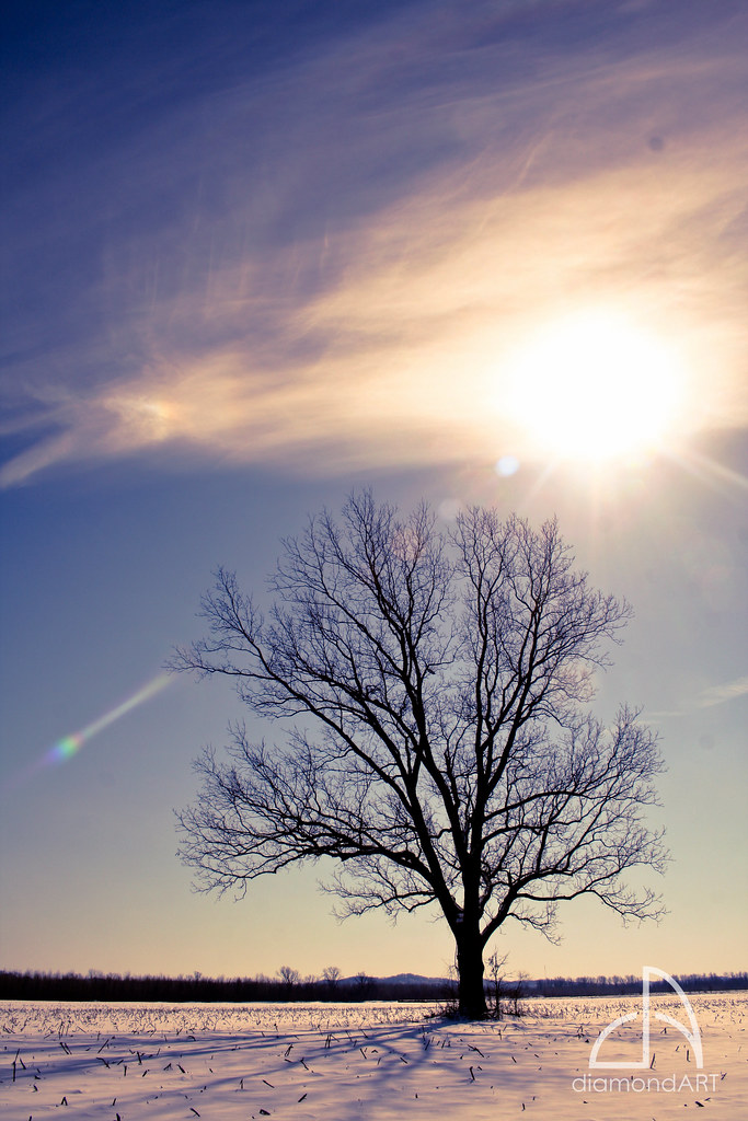
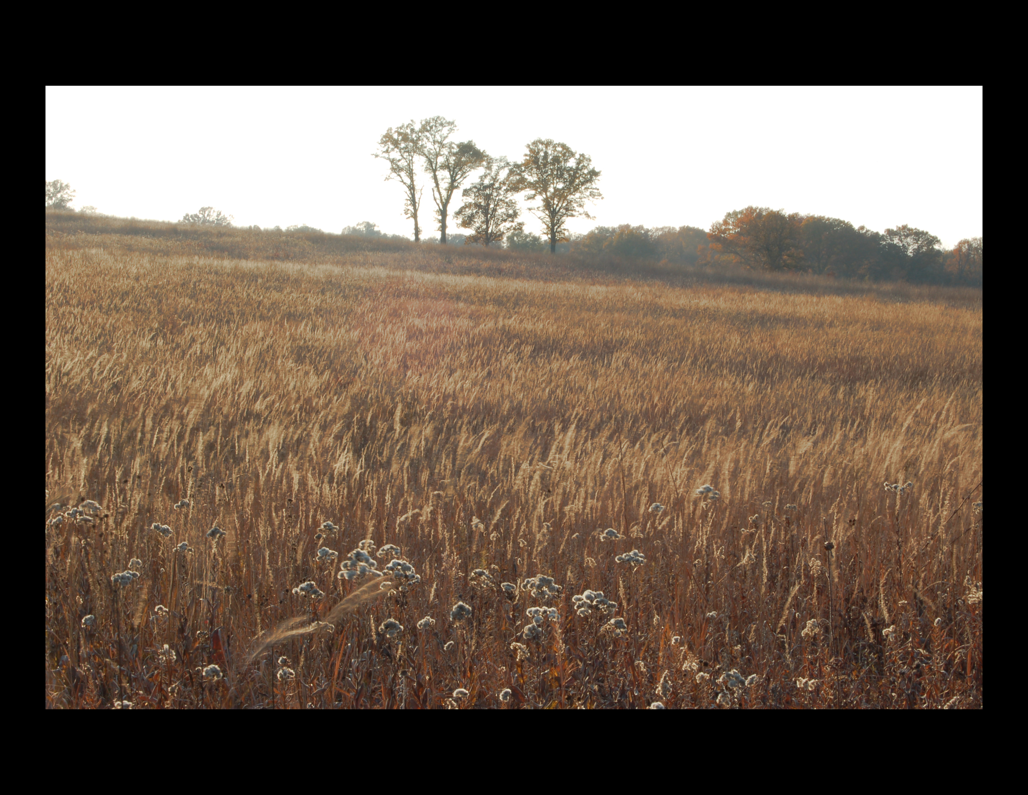
Golden Sod
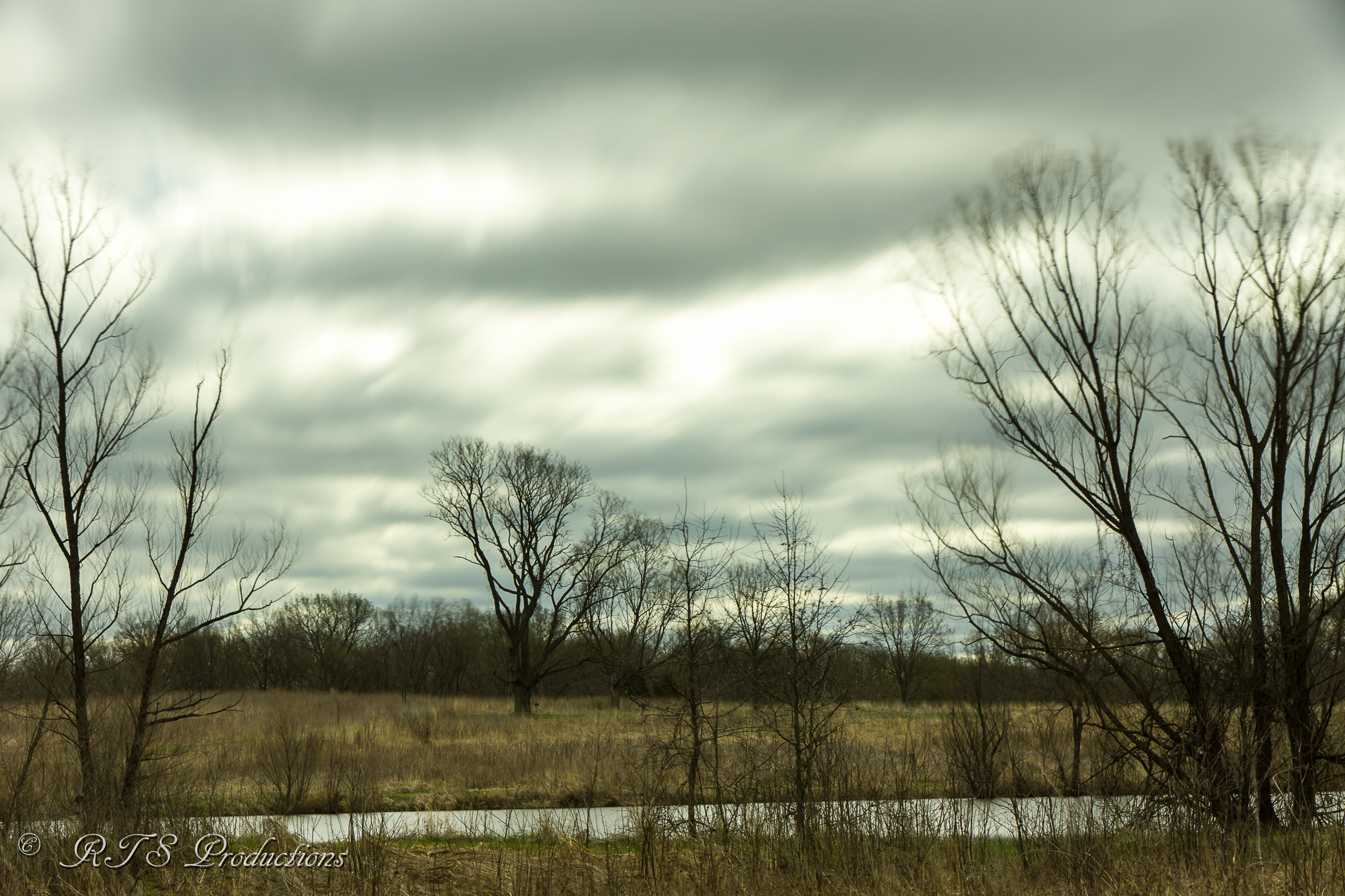
Shaw Nature Reserve Wetlands at Dawn - No. 2
Reserve Sunrise
The Golden Hour!

Frontier Sunrise

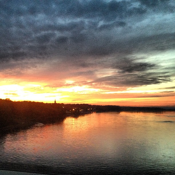
View of the Missouri River at sunset, atop the bluffs in Saint Albans, Missouri, USA
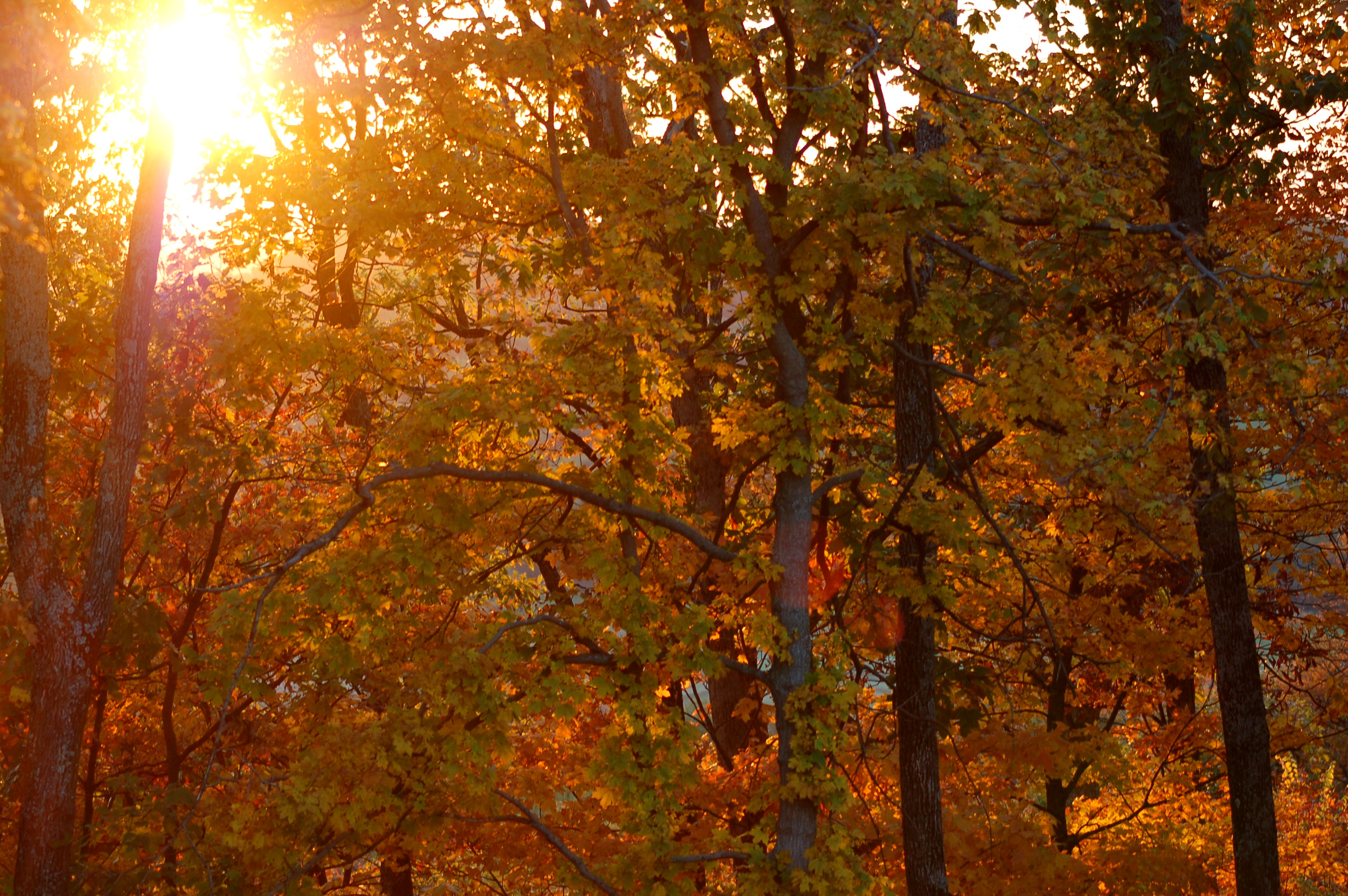
Autumn sunset in Augusta
Doomsday!
Sunset on Route 66 (3 of 3)
Sunset on Route 66 (1 of 3)
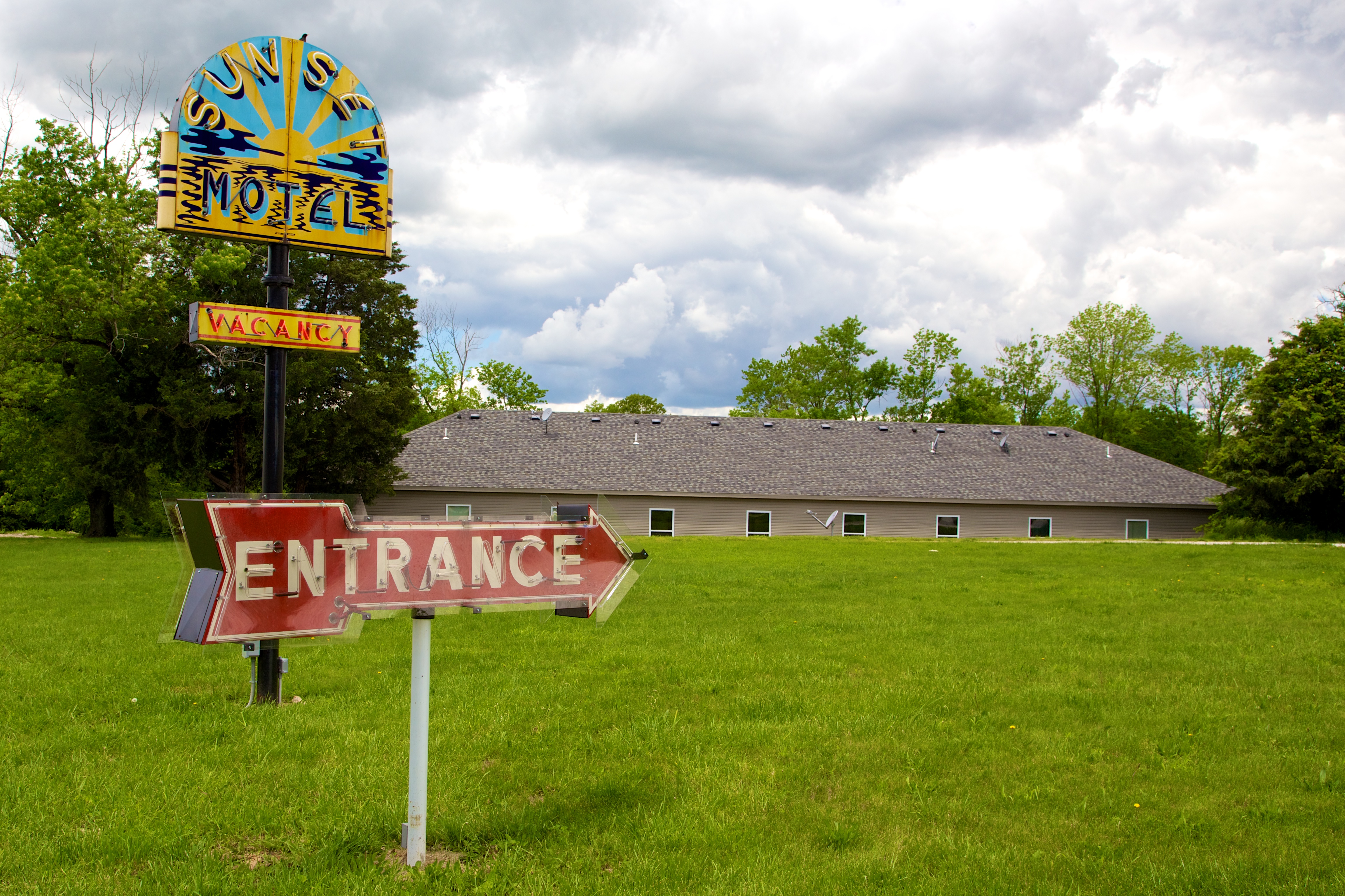
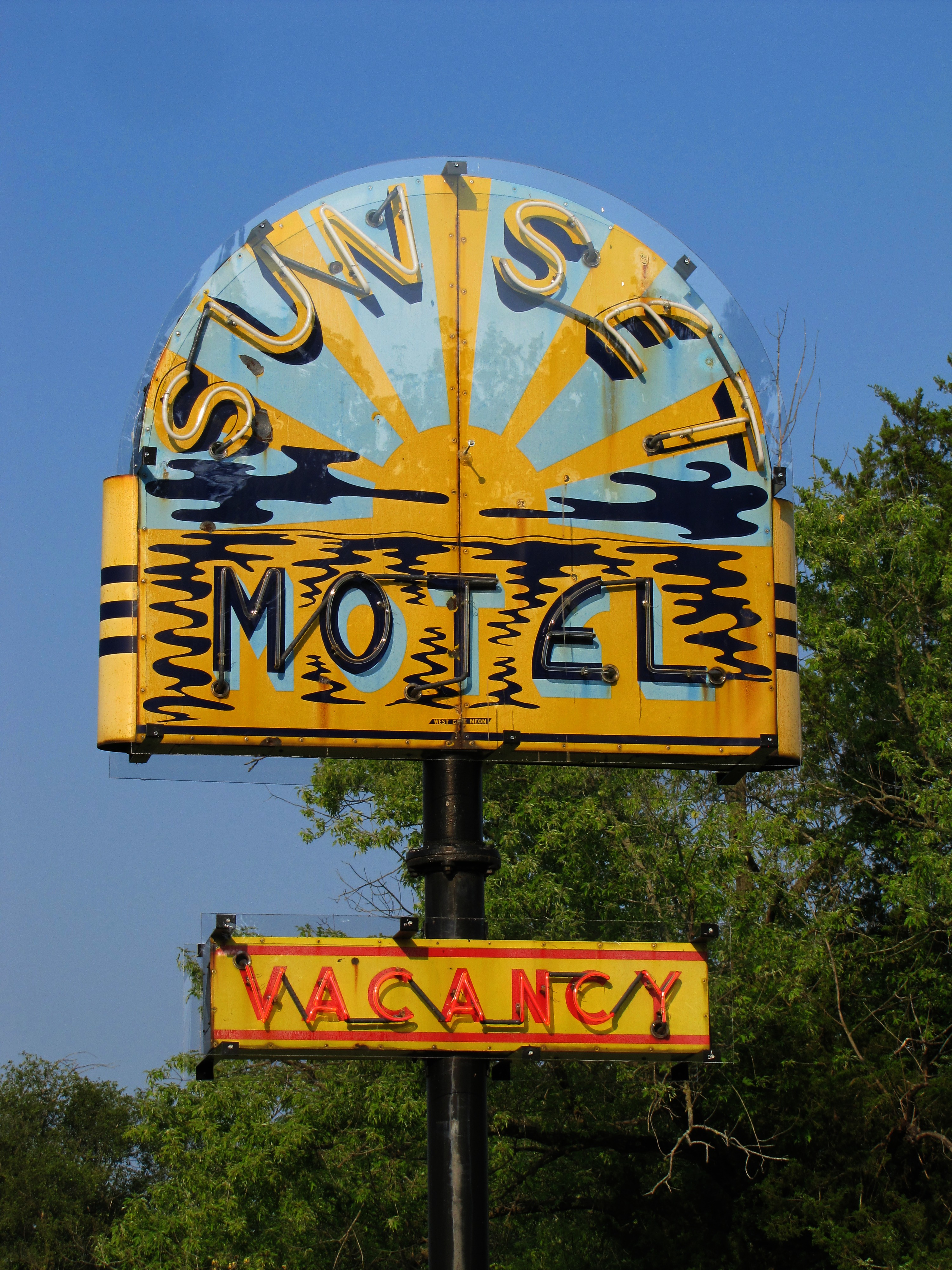
MO Villa Ridge - Sunset Motel
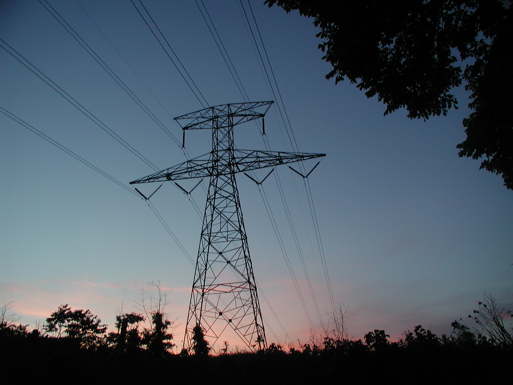
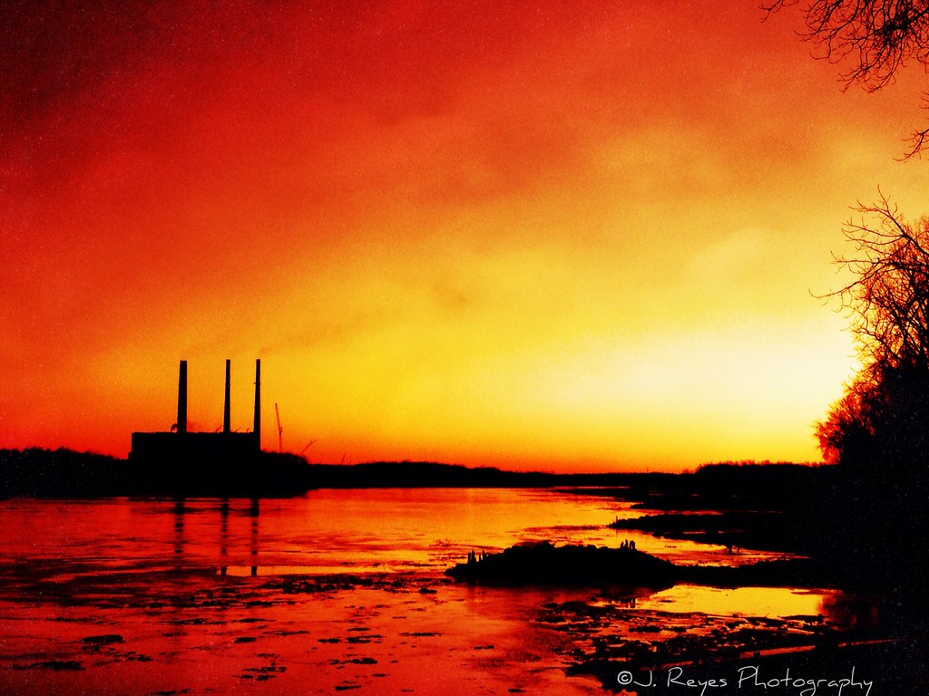
Pylon and sunset in Missouri

Late-winter Sunset
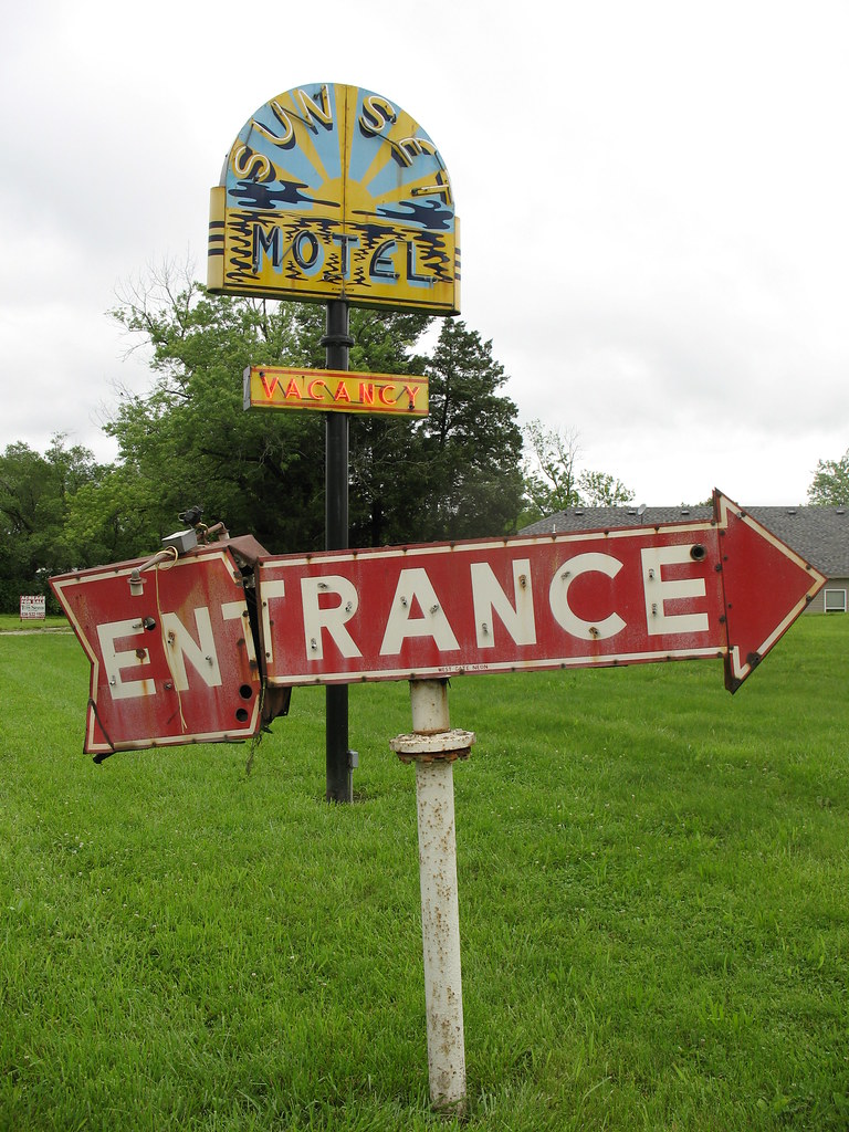
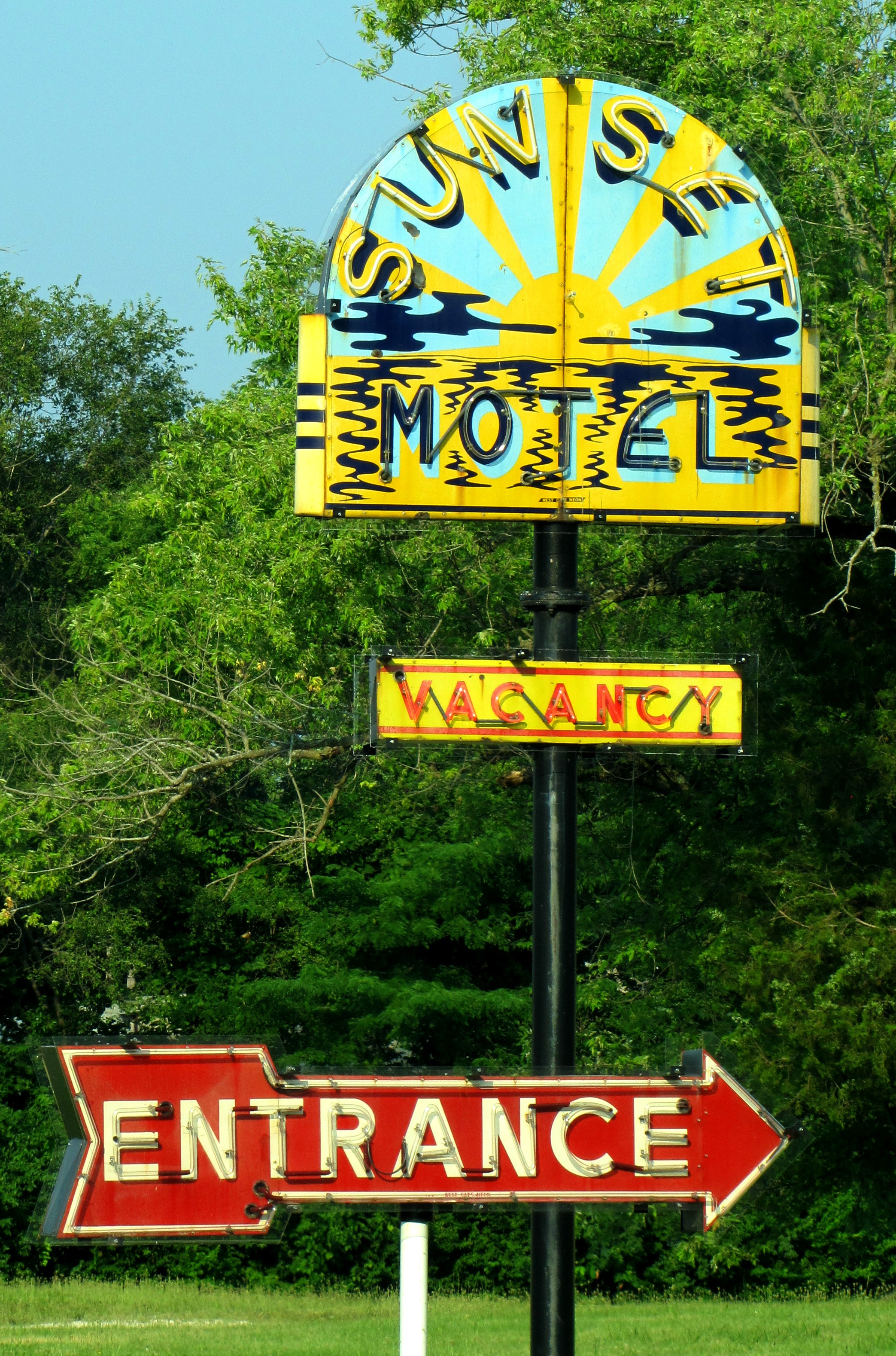
Sunset Motel Neon Sign 2 Villa Ridge MO
Cliffs at Klondike State Park
IMG_0042.jpg
Winter landscape
field sunset
The mighty MO as we cross into Washington, MO. That steeple is the church pam and I got married in!
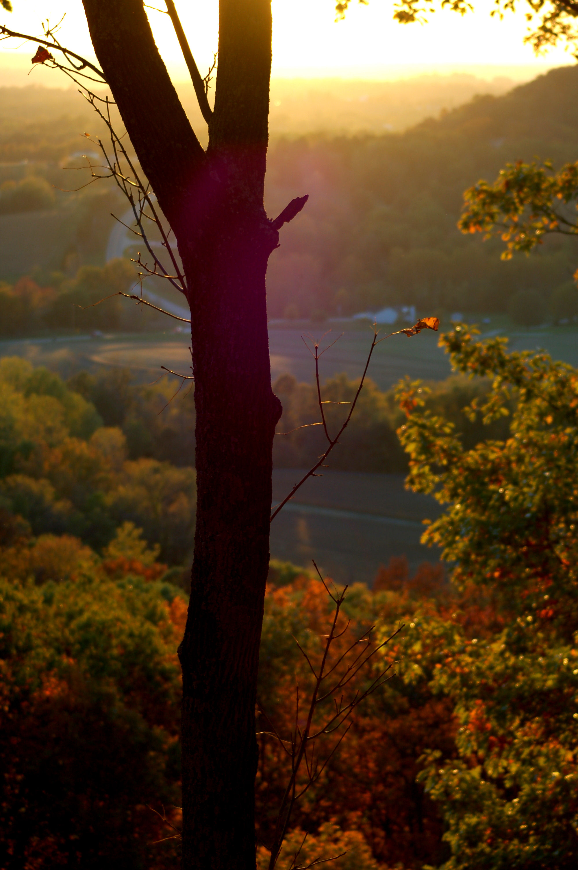
Autumn sunset in Augusta
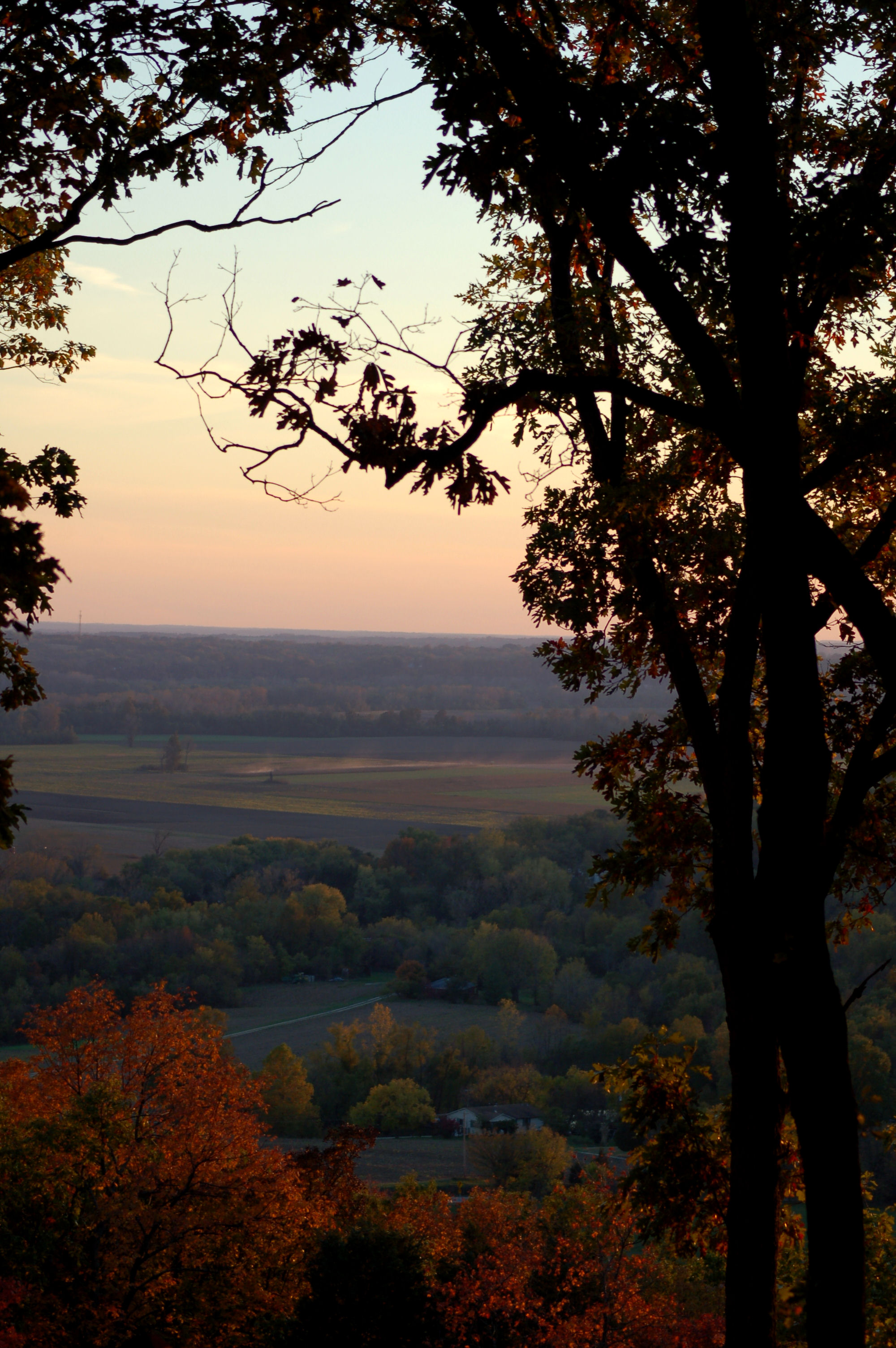
Autumn sunset in Augusta
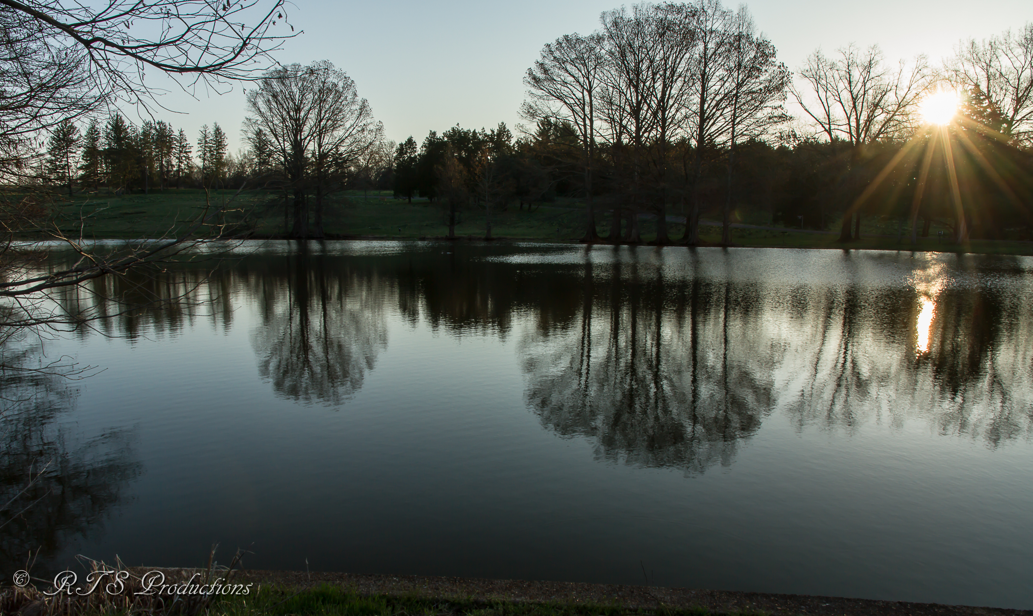
Reflections at sunrise
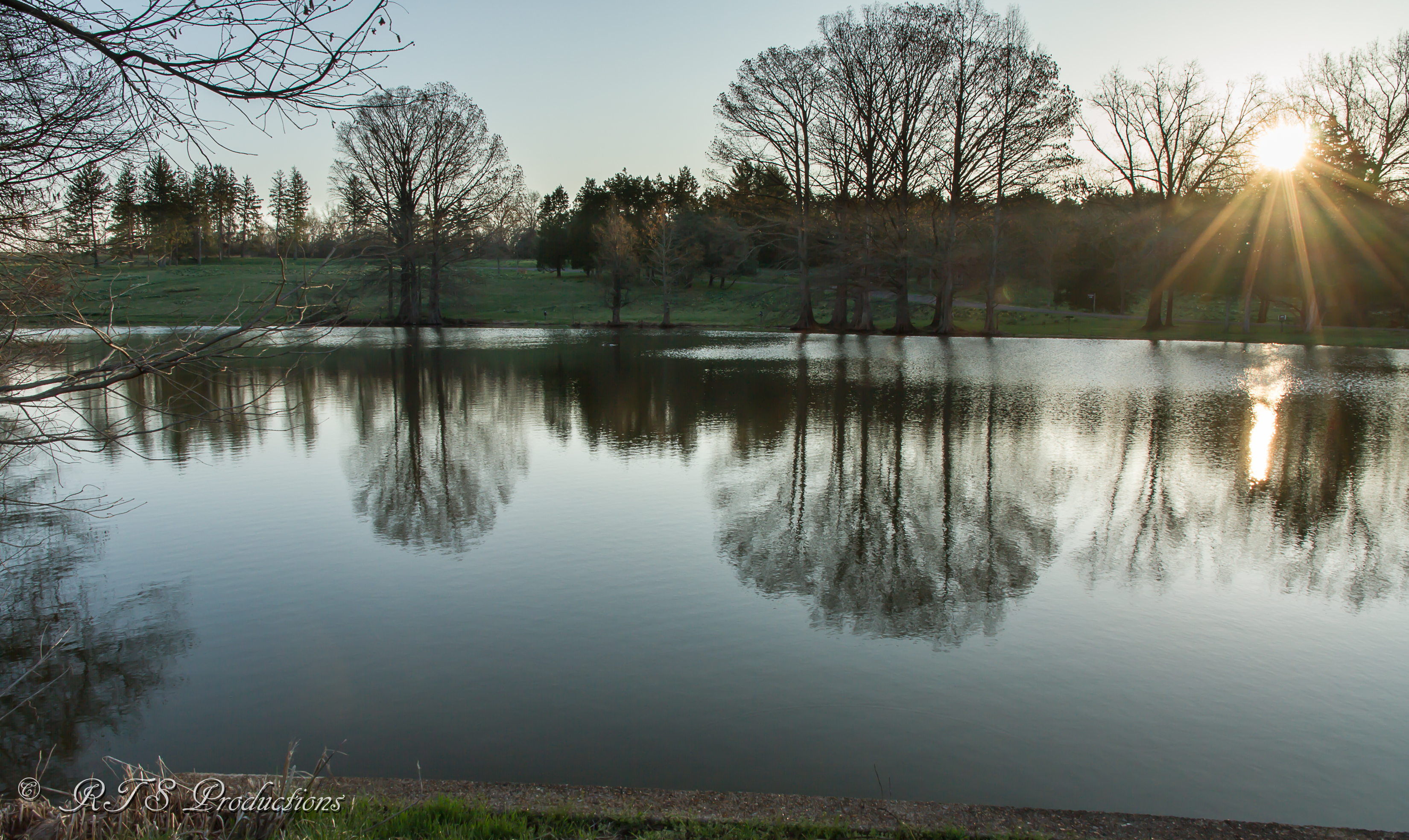
Sunrise reflections
Sunset on Purina Farms
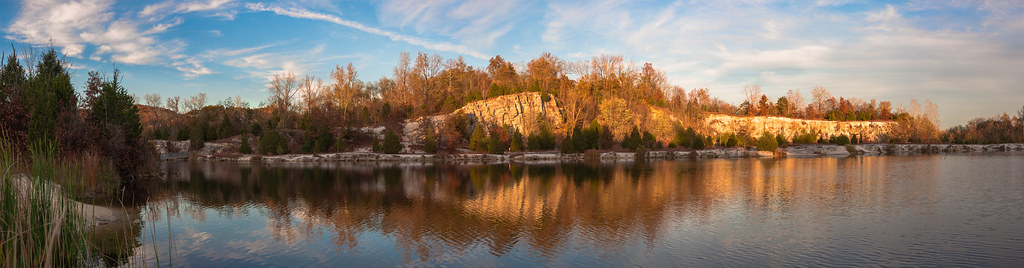
Sunrise over the Meramec River, at Shaw Nature Reserve, in Gray Summit, Missouri, USA
Mapa de Checkerboard Dr, Gray Summit, MO, EE. UU.
Buscar otro lugar
Lugares cercanos
Gray Summit, Misuri, EE. UU.
Dollar General, State Hwy AT, Villa Ridge, MO, EE. UU.
Hwy At, Villa Ridge, MO, EE. UU.
E Villa Ridge Rd, Villa Ridge, MO, EE. UU.
Villa Ridge, Misuri, EE. UU.
Robertsville, MO, EE. UU.
Pinewood Dr, Pacific, MO, EE. UU.
Angeles Corporation, 9 Capper Dr, Pacific, MO, EE. UU.
8 Capper Dr, Pacific, MO, EE. UU.
Catawissa, MO, EE. UU.
Wild Plum Valley, Robertsville, MO, EE. UU.
Denton Rd, Pacific, MO, EE. UU.
The Lift Superstore, Amber Way, Catawissa, MO, EE. UU.
St louis St, Pacific, MO, EE. UU.
Pacific, Misuri, EE. UU.
E Osage St, Pacific, MO, EE. UU.
Gildehaus Rd, Villa Ridge, MO, EE. UU.
Oak Ridge Rd, Robertsville, MO, EE. UU.
Calvey Township, MO, EE. UU.
Old Cove Canoe and Kayak, Old Cove Rd, St Clair, MO, EE. UU.
Búsquedas recientes
- Horas de salida y puesta de sol de Red Dog Mine, AK, USA
- Horas de salida y puesta de sol de Am Bahnhof, Am bhf, Borken, Germany
- Horas de salida y puesta de sol de 4th St E, Sonoma, CA, EE. UU.
- Horas de salida y puesta de sol de Oakland Ave, Williamsport, PA, EE. UU.
- Horas de salida y puesta de sol de Via Roma, Pieranica CR, Italia
- Horas de salida y puesta de sol de Torre del reloj, Grad, Dubrovnik (Ragusa), Croacia
- Horas de salida y puesta de sol de Trelew, Chubut, Argentina
- Horas de salida y puesta de sol de Hartfords Bluff Cir, Mt Pleasant, SC, EE. UU.
- Horas de salida y puesta de sol de Kita Ward, Kumamoto, Japón
- Horas de salida y puesta de sol de Pingtan Island, Pingtan County, Fuzhou, China