Horas de salida y puesta de sol de Municipio de Cedar, Arkansas, EE. UU.
Location: Estados Unidos > Arkansas > Condado de Carroll >
Zona horaria:
America/Chicago
Hora local:
2025-06-26 15:11:04
Longitud:
-93.7739869
Latitud:
36.4094604
Salida de sol de hoy:
05:59:30 AM
Puesta de sol de hoy:
08:37:10 PM
La duración del día hoy:
14h 37m 40s
Salida de sol de mañana:
05:59:54 AM
Puesta de sol de mañana:
08:37:11 PM
La duración del día mañana:
14h 37m 17s
Mostrar todas las fechas
| Fecha | Salida de sol | Puesta de sol | Duración del día |
|---|---|---|---|
| 01/01/2025 | 07:26:53 AM | 05:11:37 PM | 9h 44m 44s |
| 02/01/2025 | 07:26:59 AM | 05:12:25 PM | 9h 45m 26s |
| 03/01/2025 | 07:27:04 AM | 05:13:15 PM | 9h 46m 11s |
| 04/01/2025 | 07:27:06 AM | 05:14:06 PM | 9h 47m 0s |
| 05/01/2025 | 07:27:07 AM | 05:14:58 PM | 9h 47m 51s |
| 06/01/2025 | 07:27:05 AM | 05:15:52 PM | 9h 48m 47s |
| 07/01/2025 | 07:27:02 AM | 05:16:46 PM | 9h 49m 44s |
| 08/01/2025 | 07:26:57 AM | 05:17:41 PM | 9h 50m 44s |
| 09/01/2025 | 07:26:49 AM | 05:18:37 PM | 9h 51m 48s |
| 10/01/2025 | 07:26:40 AM | 05:19:34 PM | 9h 52m 54s |
| 11/01/2025 | 07:26:28 AM | 05:20:31 PM | 9h 54m 3s |
| 12/01/2025 | 07:26:15 AM | 05:21:29 PM | 9h 55m 14s |
| 13/01/2025 | 07:25:59 AM | 05:22:28 PM | 9h 56m 29s |
| 14/01/2025 | 07:25:42 AM | 05:23:28 PM | 9h 57m 46s |
| 15/01/2025 | 07:25:23 AM | 05:24:28 PM | 9h 59m 5s |
| 16/01/2025 | 07:25:02 AM | 05:25:29 PM | 10h 0m 27s |
| 17/01/2025 | 07:24:39 AM | 05:26:30 PM | 10h 1m 51s |
| 18/01/2025 | 07:24:13 AM | 05:27:32 PM | 10h 3m 19s |
| 19/01/2025 | 07:23:47 AM | 05:28:34 PM | 10h 4m 47s |
| 20/01/2025 | 07:23:18 AM | 05:29:37 PM | 10h 6m 19s |
| 21/01/2025 | 07:22:47 AM | 05:30:40 PM | 10h 7m 53s |
| 22/01/2025 | 07:22:15 AM | 05:31:43 PM | 10h 9m 28s |
| 23/01/2025 | 07:21:40 AM | 05:32:46 PM | 10h 11m 6s |
| 24/01/2025 | 07:21:04 AM | 05:33:50 PM | 10h 12m 46s |
| 25/01/2025 | 07:20:26 AM | 05:34:54 PM | 10h 14m 28s |
| 26/01/2025 | 07:19:47 AM | 05:35:57 PM | 10h 16m 10s |
| 27/01/2025 | 07:19:05 AM | 05:37:01 PM | 10h 17m 56s |
| 28/01/2025 | 07:18:22 AM | 05:38:05 PM | 10h 19m 43s |
| 29/01/2025 | 07:17:38 AM | 05:39:09 PM | 10h 21m 31s |
| 30/01/2025 | 07:16:52 AM | 05:40:14 PM | 10h 23m 22s |
| 31/01/2025 | 07:16:04 AM | 05:41:18 PM | 10h 25m 14s |
| 01/02/2025 | 07:15:14 AM | 05:42:22 PM | 10h 27m 8s |
| 02/02/2025 | 07:14:23 AM | 05:43:25 PM | 10h 29m 2s |
| 03/02/2025 | 07:13:31 AM | 05:44:29 PM | 10h 30m 58s |
| 04/02/2025 | 07:12:37 AM | 05:45:33 PM | 10h 32m 56s |
| 05/02/2025 | 07:11:41 AM | 05:46:36 PM | 10h 34m 55s |
| 06/02/2025 | 07:10:44 AM | 05:47:40 PM | 10h 36m 56s |
| 07/02/2025 | 07:09:46 AM | 05:48:43 PM | 10h 38m 57s |
| 08/02/2025 | 07:08:46 AM | 05:49:46 PM | 10h 41m 0s |
| 09/02/2025 | 07:07:46 AM | 05:50:48 PM | 10h 43m 2s |
| 10/02/2025 | 07:06:43 AM | 05:51:51 PM | 10h 45m 8s |
| 11/02/2025 | 07:05:40 AM | 05:52:53 PM | 10h 47m 13s |
| 12/02/2025 | 07:04:35 AM | 05:53:55 PM | 10h 49m 20s |
| 13/02/2025 | 07:03:29 AM | 05:54:57 PM | 10h 51m 28s |
| 14/02/2025 | 07:02:22 AM | 05:55:58 PM | 10h 53m 36s |
| 15/02/2025 | 07:01:14 AM | 05:56:59 PM | 10h 55m 45s |
| 16/02/2025 | 07:00:04 AM | 05:58:00 PM | 10h 57m 56s |
| 17/02/2025 | 06:58:54 AM | 05:59:00 PM | 11h 0m 6s |
| 18/02/2025 | 06:57:43 AM | 06:00:00 PM | 11h 2m 17s |
| 19/02/2025 | 06:56:30 AM | 06:01:00 PM | 11h 4m 30s |
| 20/02/2025 | 06:55:17 AM | 06:01:59 PM | 11h 6m 42s |
| 21/02/2025 | 06:54:02 AM | 06:02:59 PM | 11h 8m 57s |
| 22/02/2025 | 06:52:47 AM | 06:03:57 PM | 11h 11m 10s |
| 23/02/2025 | 06:51:31 AM | 06:04:56 PM | 11h 13m 25s |
| 24/02/2025 | 06:50:14 AM | 06:05:54 PM | 11h 15m 40s |
| 25/02/2025 | 06:48:56 AM | 06:06:52 PM | 11h 17m 56s |
| 26/02/2025 | 06:47:38 AM | 06:07:49 PM | 11h 20m 11s |
| 27/02/2025 | 06:46:18 AM | 06:08:46 PM | 11h 22m 28s |
| 28/02/2025 | 06:44:58 AM | 06:09:43 PM | 11h 24m 45s |
| 01/03/2025 | 06:43:38 AM | 06:10:40 PM | 11h 27m 2s |
| 02/03/2025 | 06:42:16 AM | 06:11:36 PM | 11h 29m 20s |
| 03/03/2025 | 06:40:54 AM | 06:12:32 PM | 11h 31m 38s |
| 04/03/2025 | 06:39:32 AM | 06:13:28 PM | 11h 33m 56s |
| 05/03/2025 | 06:38:09 AM | 06:14:23 PM | 11h 36m 14s |
| 06/03/2025 | 06:36:45 AM | 06:15:18 PM | 11h 38m 33s |
| 07/03/2025 | 06:35:21 AM | 06:16:13 PM | 11h 40m 52s |
| 08/03/2025 | 06:33:56 AM | 06:17:07 PM | 11h 43m 11s |
| 09/03/2025 | 07:32:35 AM | 07:17:59 PM | 11h 45m 24s |
| 10/03/2025 | 07:31:09 AM | 07:18:53 PM | 11h 47m 44s |
| 11/03/2025 | 07:29:44 AM | 07:19:47 PM | 11h 50m 3s |
| 12/03/2025 | 07:28:18 AM | 07:20:41 PM | 11h 52m 23s |
| 13/03/2025 | 07:26:51 AM | 07:21:34 PM | 11h 54m 43s |
| 14/03/2025 | 07:25:24 AM | 07:22:27 PM | 11h 57m 3s |
| 15/03/2025 | 07:23:57 AM | 07:23:20 PM | 11h 59m 23s |
| 16/03/2025 | 07:22:30 AM | 07:24:13 PM | 12h 1m 43s |
| 17/03/2025 | 07:21:03 AM | 07:25:05 PM | 12h 4m 2s |
| 18/03/2025 | 07:19:35 AM | 07:25:58 PM | 12h 6m 23s |
| 19/03/2025 | 07:18:08 AM | 07:26:50 PM | 12h 8m 42s |
| 20/03/2025 | 07:16:40 AM | 07:27:42 PM | 12h 11m 2s |
| 21/03/2025 | 07:15:12 AM | 07:28:34 PM | 12h 13m 22s |
| 22/03/2025 | 07:13:44 AM | 07:29:26 PM | 12h 15m 42s |
| 23/03/2025 | 07:12:16 AM | 07:30:18 PM | 12h 18m 2s |
| 24/03/2025 | 07:10:49 AM | 07:31:09 PM | 12h 20m 20s |
| 25/03/2025 | 07:09:21 AM | 07:32:01 PM | 12h 22m 40s |
| 26/03/2025 | 07:07:53 AM | 07:32:52 PM | 12h 24m 59s |
| 27/03/2025 | 07:06:26 AM | 07:33:44 PM | 12h 27m 18s |
| 28/03/2025 | 07:04:58 AM | 07:34:35 PM | 12h 29m 37s |
| 29/03/2025 | 07:03:31 AM | 07:35:27 PM | 12h 31m 56s |
| 30/03/2025 | 07:02:04 AM | 07:36:18 PM | 12h 34m 14s |
| 31/03/2025 | 07:00:37 AM | 07:37:09 PM | 12h 36m 32s |
| 01/04/2025 | 06:59:10 AM | 07:38:00 PM | 12h 38m 50s |
| 02/04/2025 | 06:57:44 AM | 07:38:52 PM | 12h 41m 8s |
| 03/04/2025 | 06:56:18 AM | 07:39:43 PM | 12h 43m 25s |
| 04/04/2025 | 06:54:52 AM | 07:40:34 PM | 12h 45m 42s |
| 05/04/2025 | 06:53:27 AM | 07:41:25 PM | 12h 47m 58s |
| 06/04/2025 | 06:52:02 AM | 07:42:17 PM | 12h 50m 15s |
| 07/04/2025 | 06:50:37 AM | 07:43:08 PM | 12h 52m 31s |
| 08/04/2025 | 06:49:13 AM | 07:43:59 PM | 12h 54m 46s |
| 09/04/2025 | 06:47:50 AM | 07:44:50 PM | 12h 57m 0s |
| 10/04/2025 | 06:46:27 AM | 07:45:42 PM | 12h 59m 15s |
| 11/04/2025 | 06:45:04 AM | 07:46:33 PM | 13h 1m 29s |
| 12/04/2025 | 06:43:43 AM | 07:47:25 PM | 13h 3m 42s |
| 13/04/2025 | 06:42:21 AM | 07:48:16 PM | 13h 5m 55s |
| 14/04/2025 | 06:41:01 AM | 07:49:08 PM | 13h 8m 7s |
| 15/04/2025 | 06:39:41 AM | 07:50:00 PM | 13h 10m 19s |
| 16/04/2025 | 06:38:22 AM | 07:50:51 PM | 13h 12m 29s |
| 17/04/2025 | 06:37:03 AM | 07:51:43 PM | 13h 14m 40s |
| 18/04/2025 | 06:35:45 AM | 07:52:35 PM | 13h 16m 50s |
| 19/04/2025 | 06:34:28 AM | 07:53:27 PM | 13h 18m 59s |
| 20/04/2025 | 06:33:12 AM | 07:54:18 PM | 13h 21m 6s |
| 21/04/2025 | 06:31:57 AM | 07:55:10 PM | 13h 23m 13s |
| 22/04/2025 | 06:30:42 AM | 07:56:02 PM | 13h 25m 20s |
| 23/04/2025 | 06:29:29 AM | 07:56:54 PM | 13h 27m 25s |
| 24/04/2025 | 06:28:16 AM | 07:57:46 PM | 13h 29m 30s |
| 25/04/2025 | 06:27:04 AM | 07:58:38 PM | 13h 31m 34s |
| 26/04/2025 | 06:25:54 AM | 07:59:30 PM | 13h 33m 36s |
| 27/04/2025 | 06:24:44 AM | 08:00:22 PM | 13h 35m 38s |
| 28/04/2025 | 06:23:35 AM | 08:01:15 PM | 13h 37m 40s |
| 29/04/2025 | 06:22:28 AM | 08:02:07 PM | 13h 39m 39s |
| 30/04/2025 | 06:21:22 AM | 08:02:58 PM | 13h 41m 36s |
| 01/05/2025 | 06:20:16 AM | 08:03:50 PM | 13h 43m 34s |
| 02/05/2025 | 06:19:12 AM | 08:04:42 PM | 13h 45m 30s |
| 03/05/2025 | 06:18:09 AM | 08:05:34 PM | 13h 47m 25s |
| 04/05/2025 | 06:17:07 AM | 08:06:26 PM | 13h 49m 19s |
| 05/05/2025 | 06:16:07 AM | 08:07:17 PM | 13h 51m 10s |
| 06/05/2025 | 06:15:08 AM | 08:08:09 PM | 13h 53m 1s |
| 07/05/2025 | 06:14:10 AM | 08:09:00 PM | 13h 54m 50s |
| 08/05/2025 | 06:13:13 AM | 08:09:51 PM | 13h 56m 38s |
| 09/05/2025 | 06:12:18 AM | 08:10:42 PM | 13h 58m 24s |
| 10/05/2025 | 06:11:24 AM | 08:11:32 PM | 14h 0m 8s |
| 11/05/2025 | 06:10:31 AM | 08:12:23 PM | 14h 1m 52s |
| 12/05/2025 | 06:09:40 AM | 08:13:13 PM | 14h 3m 33s |
| 13/05/2025 | 06:08:51 AM | 08:14:03 PM | 14h 5m 12s |
| 14/05/2025 | 06:08:02 AM | 08:14:52 PM | 14h 6m 50s |
| 15/05/2025 | 06:07:16 AM | 08:15:41 PM | 14h 8m 25s |
| 16/05/2025 | 06:06:31 AM | 08:16:30 PM | 14h 9m 59s |
| 17/05/2025 | 06:05:47 AM | 08:17:19 PM | 14h 11m 32s |
| 18/05/2025 | 06:05:05 AM | 08:18:06 PM | 14h 13m 1s |
| 19/05/2025 | 06:04:24 AM | 08:18:54 PM | 14h 14m 30s |
| 20/05/2025 | 06:03:45 AM | 08:19:41 PM | 14h 15m 56s |
| 21/05/2025 | 06:03:08 AM | 08:20:27 PM | 14h 17m 19s |
| 22/05/2025 | 06:02:32 AM | 08:21:13 PM | 14h 18m 41s |
| 23/05/2025 | 06:01:58 AM | 08:21:58 PM | 14h 20m 0s |
| 24/05/2025 | 06:01:26 AM | 08:22:42 PM | 14h 21m 16s |
| 25/05/2025 | 06:00:55 AM | 08:23:26 PM | 14h 22m 31s |
| 26/05/2025 | 06:00:26 AM | 08:24:09 PM | 14h 23m 43s |
| 27/05/2025 | 05:59:58 AM | 08:24:52 PM | 14h 24m 54s |
| 28/05/2025 | 05:59:33 AM | 08:25:33 PM | 14h 26m 0s |
| 29/05/2025 | 05:59:09 AM | 08:26:14 PM | 14h 27m 5s |
| 30/05/2025 | 05:58:46 AM | 08:26:54 PM | 14h 28m 8s |
| 31/05/2025 | 05:58:26 AM | 08:27:32 PM | 14h 29m 6s |
| 01/06/2025 | 05:58:07 AM | 08:28:10 PM | 14h 30m 3s |
| 02/06/2025 | 05:57:50 AM | 08:28:47 PM | 14h 30m 57s |
| 03/06/2025 | 05:57:34 AM | 08:29:23 PM | 14h 31m 49s |
| 04/06/2025 | 05:57:21 AM | 08:29:58 PM | 14h 32m 37s |
| 05/06/2025 | 05:57:09 AM | 08:30:32 PM | 14h 33m 23s |
| 06/06/2025 | 05:56:58 AM | 08:31:05 PM | 14h 34m 7s |
| 07/06/2025 | 05:56:50 AM | 08:31:36 PM | 14h 34m 46s |
| 08/06/2025 | 05:56:43 AM | 08:32:06 PM | 14h 35m 23s |
| 09/06/2025 | 05:56:38 AM | 08:32:35 PM | 14h 35m 57s |
| 10/06/2025 | 05:56:35 AM | 08:33:03 PM | 14h 36m 28s |
| 11/06/2025 | 05:56:33 AM | 08:33:30 PM | 14h 36m 57s |
| 12/06/2025 | 05:56:33 AM | 08:33:55 PM | 14h 37m 22s |
| 13/06/2025 | 05:56:35 AM | 08:34:18 PM | 14h 37m 43s |
| 14/06/2025 | 05:56:38 AM | 08:34:41 PM | 14h 38m 3s |
| 15/06/2025 | 05:56:43 AM | 08:35:02 PM | 14h 38m 19s |
| 16/06/2025 | 05:56:50 AM | 08:35:21 PM | 14h 38m 31s |
| 17/06/2025 | 05:56:58 AM | 08:35:39 PM | 14h 38m 41s |
| 18/06/2025 | 05:57:08 AM | 08:35:55 PM | 14h 38m 47s |
| 19/06/2025 | 05:57:19 AM | 08:36:10 PM | 14h 38m 51s |
| 20/06/2025 | 05:57:32 AM | 08:36:23 PM | 14h 38m 51s |
| 21/06/2025 | 05:57:46 AM | 08:36:35 PM | 14h 38m 49s |
| 22/06/2025 | 05:58:02 AM | 08:36:45 PM | 14h 38m 43s |
| 23/06/2025 | 05:58:19 AM | 08:36:54 PM | 14h 38m 35s |
| 24/06/2025 | 05:58:38 AM | 08:37:00 PM | 14h 38m 22s |
| 25/06/2025 | 05:58:58 AM | 08:37:05 PM | 14h 38m 7s |
| 26/06/2025 | 05:59:20 AM | 08:37:09 PM | 14h 37m 49s |
| 27/06/2025 | 05:59:43 AM | 08:37:10 PM | 14h 37m 27s |
| 28/06/2025 | 06:00:07 AM | 08:37:10 PM | 14h 37m 3s |
| 29/06/2025 | 06:00:32 AM | 08:37:09 PM | 14h 36m 37s |
| 30/06/2025 | 06:00:59 AM | 08:37:05 PM | 14h 36m 6s |
| 01/07/2025 | 06:01:27 AM | 08:37:00 PM | 14h 35m 33s |
| 02/07/2025 | 06:01:56 AM | 08:36:53 PM | 14h 34m 57s |
| 03/07/2025 | 06:02:26 AM | 08:36:44 PM | 14h 34m 18s |
| 04/07/2025 | 06:02:58 AM | 08:36:34 PM | 14h 33m 36s |
| 05/07/2025 | 06:03:30 AM | 08:36:21 PM | 14h 32m 51s |
| 06/07/2025 | 06:04:04 AM | 08:36:07 PM | 14h 32m 3s |
| 07/07/2025 | 06:04:38 AM | 08:35:51 PM | 14h 31m 13s |
| 08/07/2025 | 06:05:13 AM | 08:35:34 PM | 14h 30m 21s |
| 09/07/2025 | 06:05:50 AM | 08:35:14 PM | 14h 29m 24s |
| 10/07/2025 | 06:06:27 AM | 08:34:53 PM | 14h 28m 26s |
| 11/07/2025 | 06:07:05 AM | 08:34:30 PM | 14h 27m 25s |
| 12/07/2025 | 06:07:44 AM | 08:34:06 PM | 14h 26m 22s |
| 13/07/2025 | 06:08:24 AM | 08:33:39 PM | 14h 25m 15s |
| 14/07/2025 | 06:09:04 AM | 08:33:11 PM | 14h 24m 7s |
| 15/07/2025 | 06:09:45 AM | 08:32:41 PM | 14h 22m 56s |
| 16/07/2025 | 06:10:27 AM | 08:32:10 PM | 14h 21m 43s |
| 17/07/2025 | 06:11:09 AM | 08:31:37 PM | 14h 20m 28s |
| 18/07/2025 | 06:11:52 AM | 08:31:02 PM | 14h 19m 10s |
| 19/07/2025 | 06:12:36 AM | 08:30:25 PM | 14h 17m 49s |
| 20/07/2025 | 06:13:20 AM | 08:29:47 PM | 14h 16m 27s |
| 21/07/2025 | 06:14:04 AM | 08:29:07 PM | 14h 15m 3s |
| 22/07/2025 | 06:14:49 AM | 08:28:25 PM | 14h 13m 36s |
| 23/07/2025 | 06:15:34 AM | 08:27:42 PM | 14h 12m 8s |
| 24/07/2025 | 06:16:20 AM | 08:26:58 PM | 14h 10m 38s |
| 25/07/2025 | 06:17:06 AM | 08:26:12 PM | 14h 9m 6s |
| 26/07/2025 | 06:17:53 AM | 08:25:24 PM | 14h 7m 31s |
| 27/07/2025 | 06:18:40 AM | 08:24:35 PM | 14h 5m 55s |
| 28/07/2025 | 06:19:27 AM | 08:23:44 PM | 14h 4m 17s |
| 29/07/2025 | 06:20:14 AM | 08:22:52 PM | 14h 2m 38s |
| 30/07/2025 | 06:21:01 AM | 08:21:58 PM | 14h 0m 57s |
| 31/07/2025 | 06:21:49 AM | 08:21:03 PM | 13h 59m 14s |
| 01/08/2025 | 06:22:37 AM | 08:20:07 PM | 13h 57m 30s |
| 02/08/2025 | 06:23:25 AM | 08:19:09 PM | 13h 55m 44s |
| 03/08/2025 | 06:24:13 AM | 08:18:10 PM | 13h 53m 57s |
| 04/08/2025 | 06:25:02 AM | 08:17:09 PM | 13h 52m 7s |
| 05/08/2025 | 06:25:50 AM | 08:16:07 PM | 13h 50m 17s |
| 06/08/2025 | 06:26:38 AM | 08:15:04 PM | 13h 48m 26s |
| 07/08/2025 | 06:27:27 AM | 08:14:00 PM | 13h 46m 33s |
| 08/08/2025 | 06:28:16 AM | 08:12:55 PM | 13h 44m 39s |
| 09/08/2025 | 06:29:04 AM | 08:11:48 PM | 13h 42m 44s |
| 10/08/2025 | 06:29:53 AM | 08:10:40 PM | 13h 40m 47s |
| 11/08/2025 | 06:30:41 AM | 08:09:31 PM | 13h 38m 50s |
| 12/08/2025 | 06:31:30 AM | 08:08:21 PM | 13h 36m 51s |
| 13/08/2025 | 06:32:18 AM | 08:07:10 PM | 13h 34m 52s |
| 14/08/2025 | 06:33:07 AM | 08:05:58 PM | 13h 32m 51s |
| 15/08/2025 | 06:33:55 AM | 08:04:45 PM | 13h 30m 50s |
| 16/08/2025 | 06:34:44 AM | 08:03:31 PM | 13h 28m 47s |
| 17/08/2025 | 06:35:32 AM | 08:02:16 PM | 13h 26m 44s |
| 18/08/2025 | 06:36:20 AM | 08:01:00 PM | 13h 24m 40s |
| 19/08/2025 | 06:37:09 AM | 07:59:43 PM | 13h 22m 34s |
| 20/08/2025 | 06:37:57 AM | 07:58:26 PM | 13h 20m 29s |
| 21/08/2025 | 06:38:45 AM | 07:57:07 PM | 13h 18m 22s |
| 22/08/2025 | 06:39:33 AM | 07:55:48 PM | 13h 16m 15s |
| 23/08/2025 | 06:40:21 AM | 07:54:28 PM | 13h 14m 7s |
| 24/08/2025 | 06:41:08 AM | 07:53:07 PM | 13h 11m 59s |
| 25/08/2025 | 06:41:56 AM | 07:51:45 PM | 13h 9m 49s |
| 26/08/2025 | 06:42:44 AM | 07:50:23 PM | 13h 7m 39s |
| 27/08/2025 | 06:43:31 AM | 07:49:00 PM | 13h 5m 29s |
| 28/08/2025 | 06:44:19 AM | 07:47:36 PM | 13h 3m 17s |
| 29/08/2025 | 06:45:06 AM | 07:46:12 PM | 13h 1m 6s |
| 30/08/2025 | 06:45:53 AM | 07:44:48 PM | 12h 58m 55s |
| 31/08/2025 | 06:46:41 AM | 07:43:22 PM | 12h 56m 41s |
| 01/09/2025 | 06:47:28 AM | 07:41:56 PM | 12h 54m 28s |
| 02/09/2025 | 06:48:15 AM | 07:40:30 PM | 12h 52m 15s |
| 03/09/2025 | 06:49:02 AM | 07:39:03 PM | 12h 50m 1s |
| 04/09/2025 | 06:49:49 AM | 07:37:36 PM | 12h 47m 47s |
| 05/09/2025 | 06:50:36 AM | 07:36:09 PM | 12h 45m 33s |
| 06/09/2025 | 06:51:23 AM | 07:34:41 PM | 12h 43m 18s |
| 07/09/2025 | 06:52:10 AM | 07:33:12 PM | 12h 41m 2s |
| 08/09/2025 | 06:52:57 AM | 07:31:44 PM | 12h 38m 47s |
| 09/09/2025 | 06:53:44 AM | 07:30:15 PM | 12h 36m 31s |
| 10/09/2025 | 06:54:31 AM | 07:28:46 PM | 12h 34m 15s |
| 11/09/2025 | 06:55:18 AM | 07:27:17 PM | 12h 31m 59s |
| 12/09/2025 | 06:56:05 AM | 07:25:47 PM | 12h 29m 42s |
| 13/09/2025 | 06:56:52 AM | 07:24:17 PM | 12h 27m 25s |
| 14/09/2025 | 06:57:39 AM | 07:22:47 PM | 12h 25m 8s |
| 15/09/2025 | 06:58:26 AM | 07:21:17 PM | 12h 22m 51s |
| 16/09/2025 | 06:59:13 AM | 07:19:47 PM | 12h 20m 34s |
| 17/09/2025 | 07:00:00 AM | 07:18:17 PM | 12h 18m 17s |
| 18/09/2025 | 07:00:47 AM | 07:16:47 PM | 12h 16m 0s |
| 19/09/2025 | 07:01:35 AM | 07:15:17 PM | 12h 13m 42s |
| 20/09/2025 | 07:02:22 AM | 07:13:47 PM | 12h 11m 25s |
| 21/09/2025 | 07:03:10 AM | 07:12:17 PM | 12h 9m 7s |
| 22/09/2025 | 07:03:58 AM | 07:10:47 PM | 12h 6m 49s |
| 23/09/2025 | 07:04:46 AM | 07:09:17 PM | 12h 4m 31s |
| 24/09/2025 | 07:05:34 AM | 07:07:47 PM | 12h 2m 13s |
| 25/09/2025 | 07:06:22 AM | 07:06:18 PM | 11h 59m 56s |
| 26/09/2025 | 07:07:11 AM | 07:04:49 PM | 11h 57m 38s |
| 27/09/2025 | 07:07:59 AM | 07:03:19 PM | 11h 55m 20s |
| 28/09/2025 | 07:08:48 AM | 07:01:51 PM | 11h 53m 3s |
| 29/09/2025 | 07:09:37 AM | 07:00:22 PM | 11h 50m 45s |
| 30/09/2025 | 07:10:27 AM | 06:58:54 PM | 11h 48m 27s |
| 01/10/2025 | 07:11:16 AM | 06:57:26 PM | 11h 46m 10s |
| 02/10/2025 | 07:12:06 AM | 06:55:59 PM | 11h 43m 53s |
| 03/10/2025 | 07:12:56 AM | 06:54:32 PM | 11h 41m 36s |
| 04/10/2025 | 07:13:46 AM | 06:53:05 PM | 11h 39m 19s |
| 05/10/2025 | 07:14:37 AM | 06:51:39 PM | 11h 37m 2s |
| 06/10/2025 | 07:15:28 AM | 06:50:14 PM | 11h 34m 46s |
| 07/10/2025 | 07:16:19 AM | 06:48:49 PM | 11h 32m 30s |
| 08/10/2025 | 07:17:11 AM | 06:47:24 PM | 11h 30m 13s |
| 09/10/2025 | 07:18:02 AM | 06:46:00 PM | 11h 27m 58s |
| 10/10/2025 | 07:18:55 AM | 06:44:37 PM | 11h 25m 42s |
| 11/10/2025 | 07:19:47 AM | 06:43:14 PM | 11h 23m 27s |
| 12/10/2025 | 07:20:40 AM | 06:41:53 PM | 11h 21m 13s |
| 13/10/2025 | 07:21:33 AM | 06:40:31 PM | 11h 18m 58s |
| 14/10/2025 | 07:22:26 AM | 06:39:11 PM | 11h 16m 45s |
| 15/10/2025 | 07:23:20 AM | 06:37:51 PM | 11h 14m 31s |
| 16/10/2025 | 07:24:14 AM | 06:36:33 PM | 11h 12m 19s |
| 17/10/2025 | 07:25:09 AM | 06:35:15 PM | 11h 10m 6s |
| 18/10/2025 | 07:26:04 AM | 06:33:58 PM | 11h 7m 54s |
| 19/10/2025 | 07:26:59 AM | 06:32:41 PM | 11h 5m 42s |
| 20/10/2025 | 07:27:55 AM | 06:31:26 PM | 11h 3m 31s |
| 21/10/2025 | 07:28:51 AM | 06:30:12 PM | 11h 1m 21s |
| 22/10/2025 | 07:29:47 AM | 06:28:59 PM | 10h 59m 12s |
| 23/10/2025 | 07:30:44 AM | 06:27:47 PM | 10h 57m 3s |
| 24/10/2025 | 07:31:41 AM | 06:26:36 PM | 10h 54m 55s |
| 25/10/2025 | 07:32:38 AM | 06:25:26 PM | 10h 52m 48s |
| 26/10/2025 | 07:33:36 AM | 06:24:17 PM | 10h 50m 41s |
| 27/10/2025 | 07:34:34 AM | 06:23:09 PM | 10h 48m 35s |
| 28/10/2025 | 07:35:32 AM | 06:22:03 PM | 10h 46m 31s |
| 29/10/2025 | 07:36:31 AM | 06:20:57 PM | 10h 44m 26s |
| 30/10/2025 | 07:37:29 AM | 06:19:54 PM | 10h 42m 25s |
| 31/10/2025 | 07:38:29 AM | 06:18:51 PM | 10h 40m 22s |
| 01/11/2025 | 07:39:28 AM | 06:17:50 PM | 10h 38m 22s |
| 02/11/2025 | 06:40:30 AM | 05:16:47 PM | 10h 36m 17s |
| 03/11/2025 | 06:41:30 AM | 05:15:49 PM | 10h 34m 19s |
| 04/11/2025 | 06:42:31 AM | 05:14:52 PM | 10h 32m 21s |
| 05/11/2025 | 06:43:31 AM | 05:13:56 PM | 10h 30m 25s |
| 06/11/2025 | 06:44:31 AM | 05:13:02 PM | 10h 28m 31s |
| 07/11/2025 | 06:45:32 AM | 05:12:09 PM | 10h 26m 37s |
| 08/11/2025 | 06:46:33 AM | 05:11:18 PM | 10h 24m 45s |
| 09/11/2025 | 06:47:34 AM | 05:10:29 PM | 10h 22m 55s |
| 10/11/2025 | 06:48:35 AM | 05:09:41 PM | 10h 21m 6s |
| 11/11/2025 | 06:49:36 AM | 05:08:55 PM | 10h 19m 19s |
| 12/11/2025 | 06:50:37 AM | 05:08:11 PM | 10h 17m 34s |
| 13/11/2025 | 06:51:38 AM | 05:07:28 PM | 10h 15m 50s |
| 14/11/2025 | 06:52:39 AM | 05:06:47 PM | 10h 14m 8s |
| 15/11/2025 | 06:53:41 AM | 05:06:07 PM | 10h 12m 26s |
| 16/11/2025 | 06:54:41 AM | 05:05:30 PM | 10h 10m 49s |
| 17/11/2025 | 06:55:42 AM | 05:04:54 PM | 10h 9m 12s |
| 18/11/2025 | 06:56:43 AM | 05:04:20 PM | 10h 7m 37s |
| 19/11/2025 | 06:57:43 AM | 05:03:48 PM | 10h 6m 5s |
| 20/11/2025 | 06:58:43 AM | 05:03:18 PM | 10h 4m 35s |
| 21/11/2025 | 06:59:43 AM | 05:02:50 PM | 10h 3m 7s |
| 22/11/2025 | 07:00:43 AM | 05:02:23 PM | 10h 1m 40s |
| 23/11/2025 | 07:01:42 AM | 05:01:59 PM | 10h 0m 17s |
| 24/11/2025 | 07:02:40 AM | 05:01:37 PM | 9h 58m 57s |
| 25/11/2025 | 07:03:39 AM | 05:01:16 PM | 9h 57m 37s |
| 26/11/2025 | 07:04:36 AM | 05:00:58 PM | 9h 56m 22s |
| 27/11/2025 | 07:05:33 AM | 05:00:41 PM | 9h 55m 8s |
| 28/11/2025 | 07:06:30 AM | 05:00:26 PM | 9h 53m 56s |
| 29/11/2025 | 07:07:26 AM | 05:00:14 PM | 9h 52m 48s |
| 30/11/2025 | 07:08:21 AM | 05:00:03 PM | 9h 51m 42s |
| 01/12/2025 | 07:09:15 AM | 04:59:55 PM | 9h 50m 40s |
| 02/12/2025 | 07:10:09 AM | 04:59:49 PM | 9h 49m 40s |
| 03/12/2025 | 07:11:02 AM | 04:59:44 PM | 9h 48m 42s |
| 04/12/2025 | 07:11:53 AM | 04:59:42 PM | 9h 47m 49s |
| 05/12/2025 | 07:12:44 AM | 04:59:41 PM | 9h 46m 57s |
| 06/12/2025 | 07:13:34 AM | 04:59:43 PM | 9h 46m 9s |
| 07/12/2025 | 07:14:23 AM | 04:59:47 PM | 9h 45m 24s |
| 08/12/2025 | 07:15:11 AM | 04:59:53 PM | 9h 44m 42s |
| 09/12/2025 | 07:15:57 AM | 05:00:00 PM | 9h 44m 3s |
| 10/12/2025 | 07:16:42 AM | 05:00:10 PM | 9h 43m 28s |
| 11/12/2025 | 07:17:27 AM | 05:00:22 PM | 9h 42m 55s |
| 12/12/2025 | 07:18:09 AM | 05:00:36 PM | 9h 42m 27s |
| 13/12/2025 | 07:18:51 AM | 05:00:51 PM | 9h 42m 0s |
| 14/12/2025 | 07:19:31 AM | 05:01:09 PM | 9h 41m 38s |
| 15/12/2025 | 07:20:09 AM | 05:01:29 PM | 9h 41m 20s |
| 16/12/2025 | 07:20:47 AM | 05:01:50 PM | 9h 41m 3s |
| 17/12/2025 | 07:21:22 AM | 05:02:13 PM | 9h 40m 51s |
| 18/12/2025 | 07:21:56 AM | 05:02:38 PM | 9h 40m 42s |
| 19/12/2025 | 07:22:29 AM | 05:03:05 PM | 9h 40m 36s |
| 20/12/2025 | 07:23:00 AM | 05:03:34 PM | 9h 40m 34s |
| 21/12/2025 | 07:23:29 AM | 05:04:05 PM | 9h 40m 36s |
| 22/12/2025 | 07:23:56 AM | 05:04:37 PM | 9h 40m 41s |
| 23/12/2025 | 07:24:22 AM | 05:05:11 PM | 9h 40m 49s |
| 24/12/2025 | 07:24:46 AM | 05:05:46 PM | 9h 41m 0s |
| 25/12/2025 | 07:25:08 AM | 05:06:23 PM | 9h 41m 15s |
| 26/12/2025 | 07:25:28 AM | 05:07:02 PM | 9h 41m 34s |
| 27/12/2025 | 07:25:47 AM | 05:07:42 PM | 9h 41m 55s |
| 28/12/2025 | 07:26:03 AM | 05:08:24 PM | 9h 42m 21s |
| 29/12/2025 | 07:26:18 AM | 05:09:07 PM | 9h 42m 49s |
| 30/12/2025 | 07:26:31 AM | 05:09:52 PM | 9h 43m 21s |
| 31/12/2025 | 07:26:42 AM | 05:10:38 PM | 9h 43m 56s |
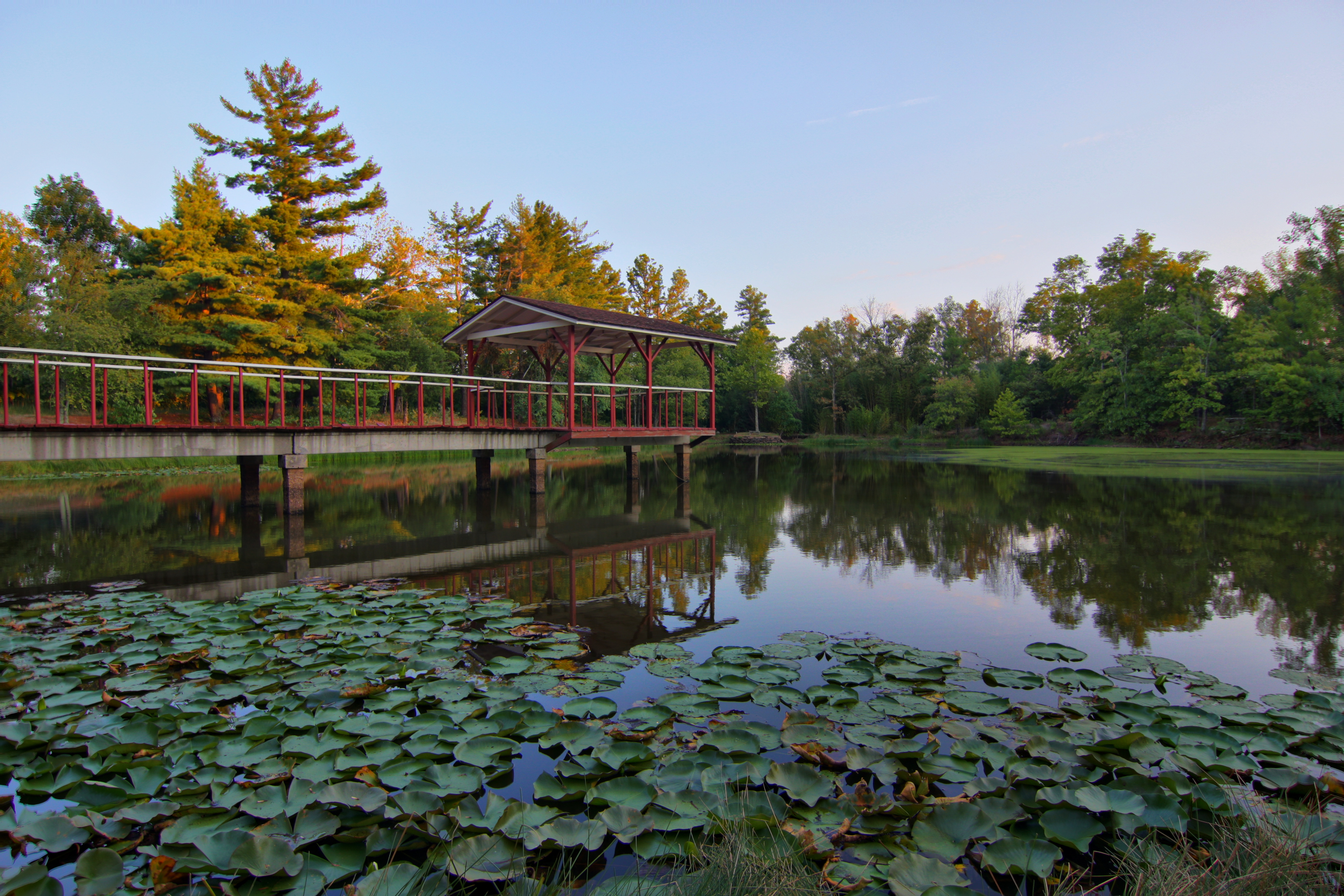
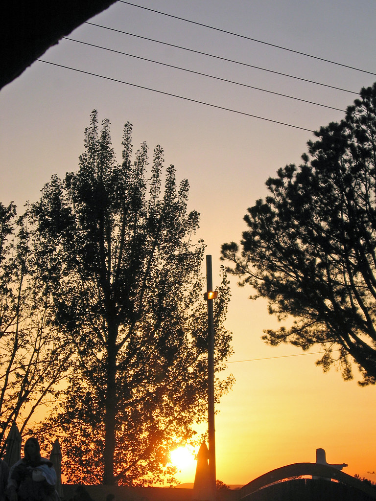
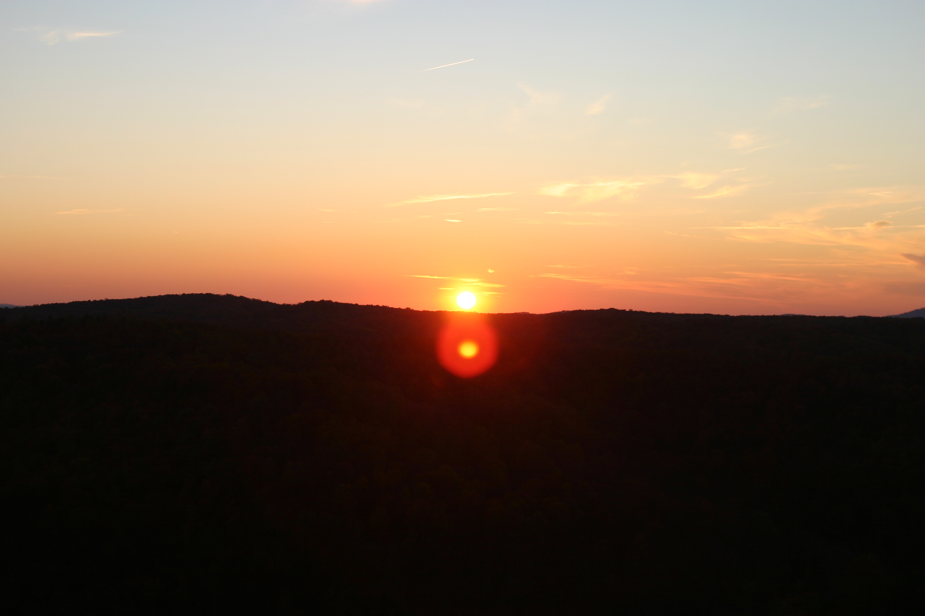
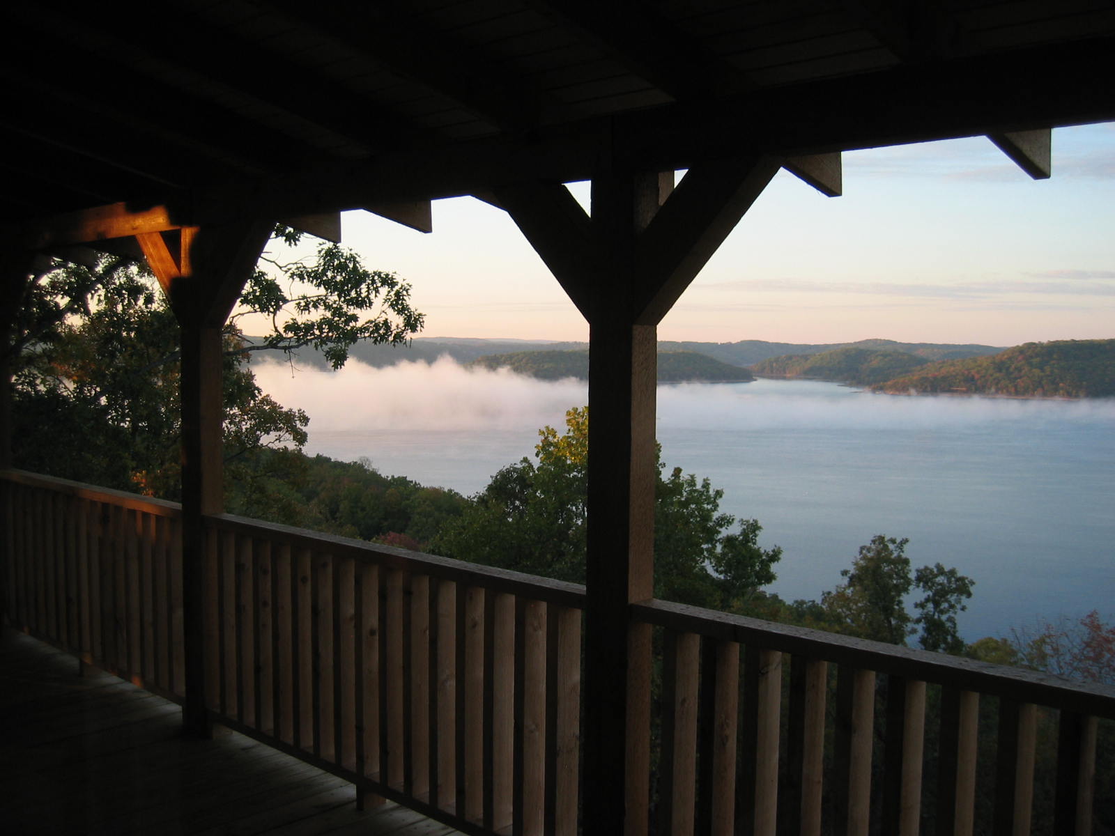
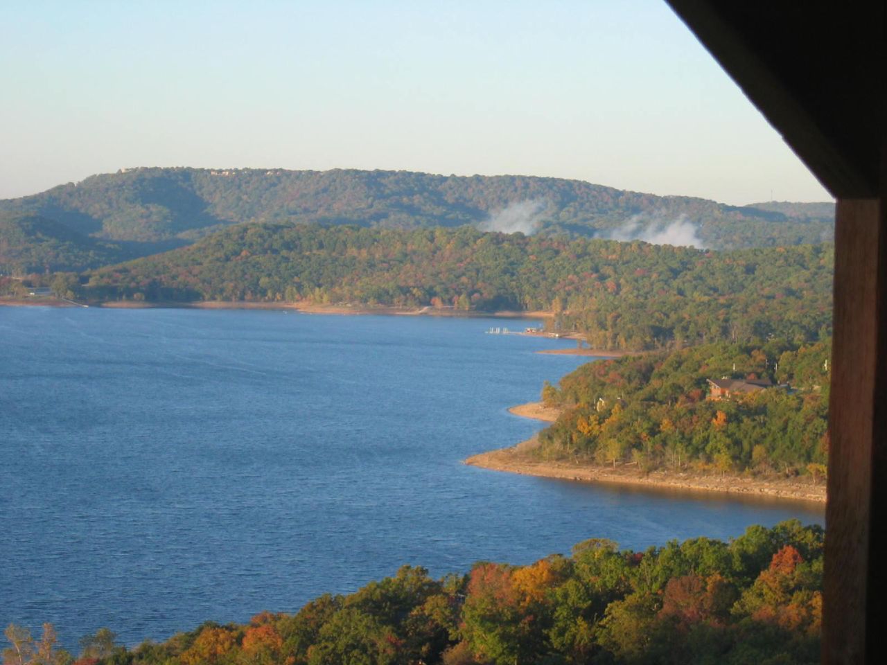
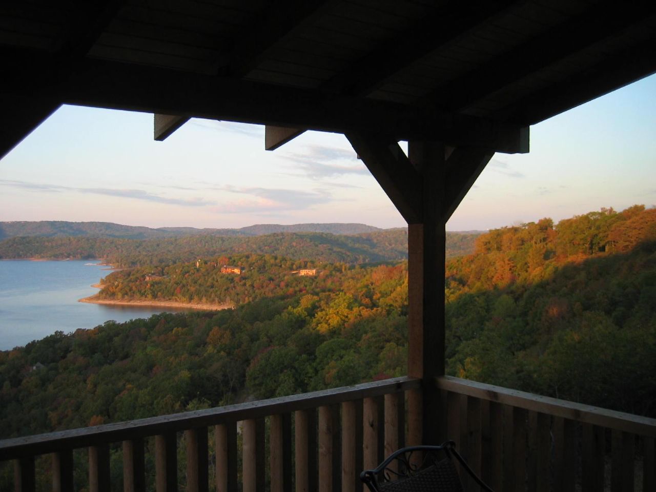
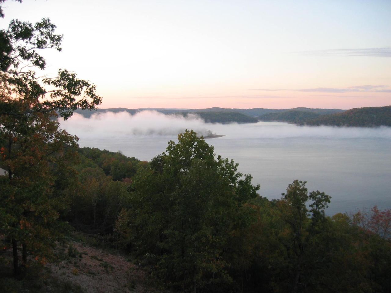
Fotos
Eureka Springs Sunset
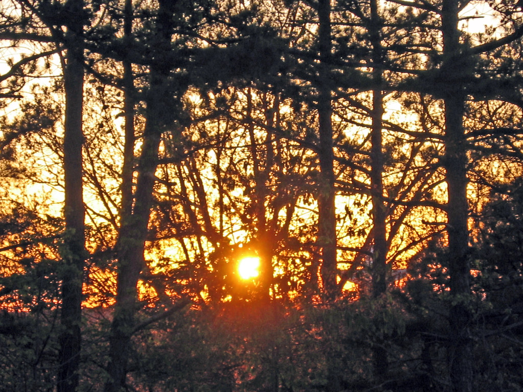
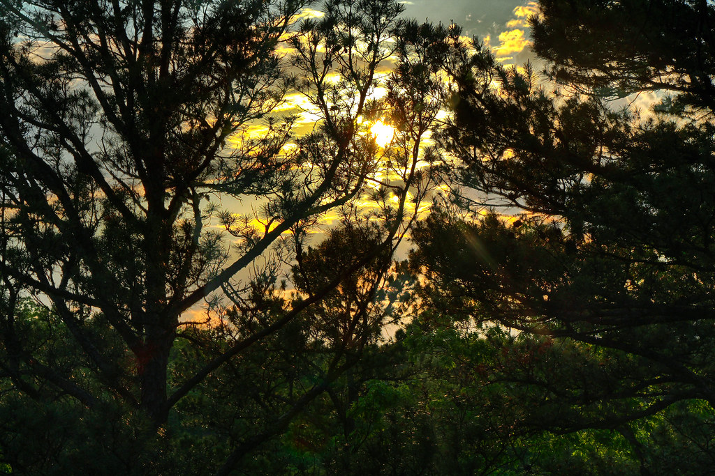
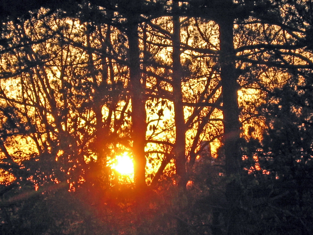
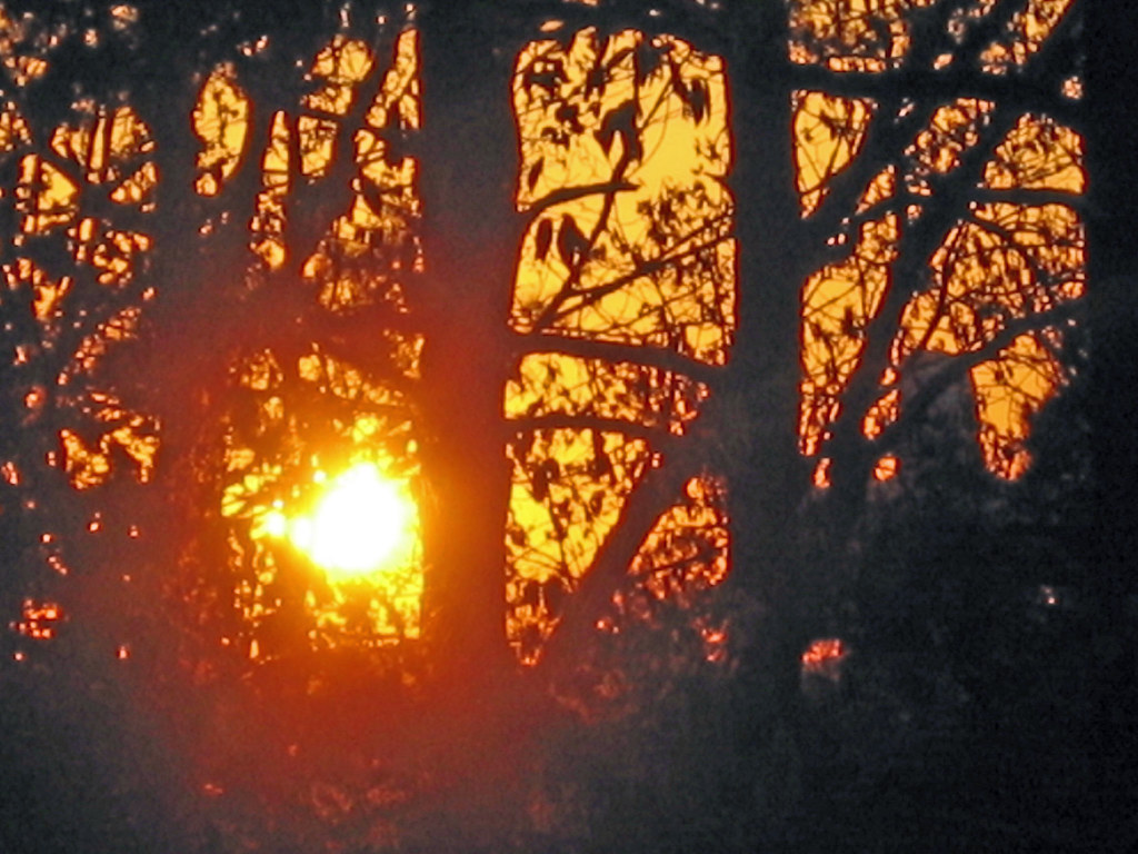
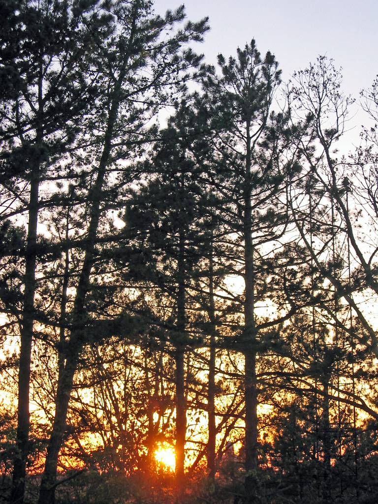
Sunset through trees

Grandma's Fence
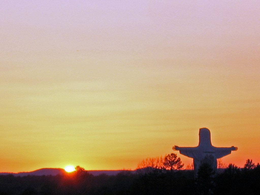
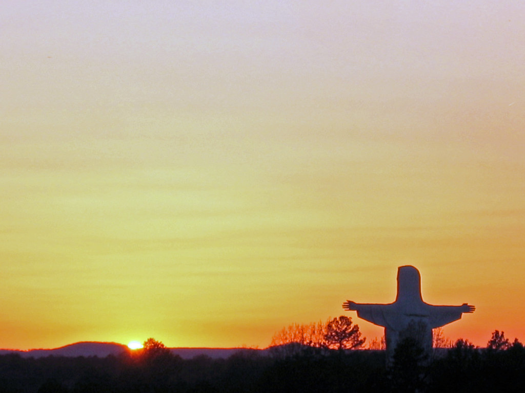
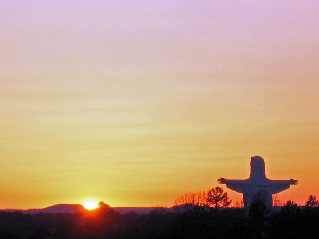
Jesus with sunset
Jesus with sunset
Jesus with sunset
Sunset through trees
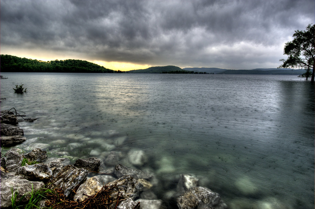
Shooting in the rain

Summer Solstice Sunset
Sunset through trees
Sunset through trees
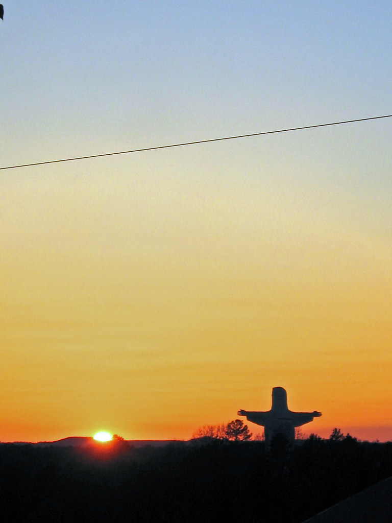
Jesus with sunset
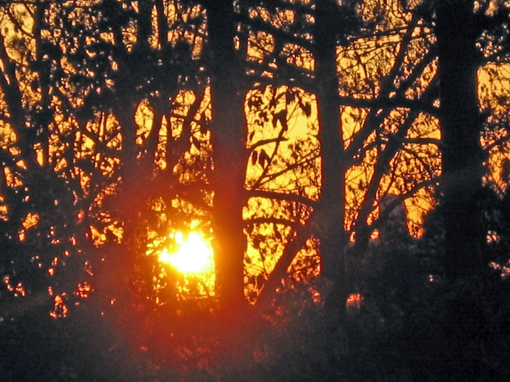
Sunset through trees
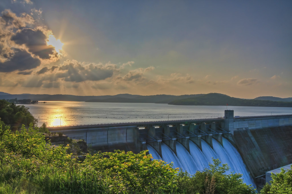
Dam Cloudy Sunburst

Camera Roll-34

Dam Sunburst
Eureka Springs, Arkansas
Sunset over Eureka Springs

Dam Sunset

Flood Gates at Sunset
2011-Fall_BMT-_17
Eureka Springs, AR
Eureka Springs, AR
Eureka Springs, AR
Eureka Springs, AR
Mapa de Municipio de Cedar, Arkansas, EE. UU.
Buscar otro lugar
lugares en Municipio de Cedar, Arkansas, EE. UU.
Lugares cercanos
Thorncrown Chapel, US-62, Eureka Springs, AR, EE. UU.
Tall Pines Inn, 3 Pivot Rock Rd, Eureka Springs, AR, EE. UU.
AR-, Eureka Springs, AR, EE. UU.
17 Breezy Point, Eureka Springs, AR, EE. UU.
Pivot Rock and Natural Bridge, Pivot Rock Rd, Eureka Springs, AR, EE. UU.
Crescent Hotel and Spa, 75 Prospect Ave, Eureka Springs, AR, EE. UU.
Silly Chile, 87 Spring St, Eureka Springs, AR, EE. UU.
Eureka Springs, Arkansas, EE. UU.
La Familia Tex-Mex, E Van Buren, Eureka Springs, AR, EE. UU.
Visitor Information, Village Cir, Eureka Springs, AR, EE. UU.
Inspiration Point, U.S. 62 west, Eureka Springs, AR, EE. UU.
81 County Rd, Eureka Springs, AR, EE. UU.
Green Glory Drive, Green Glory Dr, Cedar Township, AR, EE. UU.
Cedar Lane, Cedar Ln, Eureka Springs, AR, EE. UU.
Beaver, Arkansas, EE. UU.
Paradise Ln, Eureka Springs, AR, EE. UU.
Palisade St, Eureka Springs, AR, EE. UU.
78 Pleasant Ridge Dr, Eureka Springs, AR, EE. UU.
74 Pleasant Ridge Dr, Eureka Springs, AR, EE. UU.
80 Pleasant Ridge Dr, Holiday Island, AR, EE. UU.
Búsquedas recientes
- Horas de salida y puesta de sol de Red Dog Mine, AK, USA
- Horas de salida y puesta de sol de Am Bahnhof, Am bhf, Borken, Germany
- Horas de salida y puesta de sol de 4th St E, Sonoma, CA, EE. UU.
- Horas de salida y puesta de sol de Oakland Ave, Williamsport, PA, EE. UU.
- Horas de salida y puesta de sol de Via Roma, Pieranica CR, Italia
- Horas de salida y puesta de sol de Torre del reloj, Grad, Dubrovnik (Ragusa), Croacia
- Horas de salida y puesta de sol de Trelew, Chubut, Argentina
- Horas de salida y puesta de sol de Hartfords Bluff Cir, Mt Pleasant, SC, EE. UU.
- Horas de salida y puesta de sol de Kita Ward, Kumamoto, Japón
- Horas de salida y puesta de sol de Pingtan Island, Pingtan County, Fuzhou, China